
Highway 28

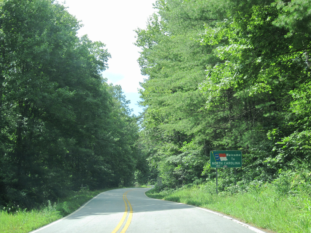
NC 28 represents the northern extent of a 238 mile long multi-state route with both S.C. and Georgia Route 28. The overall route begins at Beech Island, SC, just southeast of Augusta, GA, and ends at U.S. 129, just 0.7 miles south of Deals Gap and the Tennessee state line. Within North Carolina, the state highway traverses mountainous terrain from its entrance into the state south of Highlands.
Portions of the winding route overlap with U.S. Highways, including a 19 mile overlap with U.S. 64 between Highlands and Franklin and a short overlap with U.S. 19/74 between Almond and Lauada.
Georgia Route 28 travels 7.91 miles north through Rabun County to become NC 28.
07/09/10
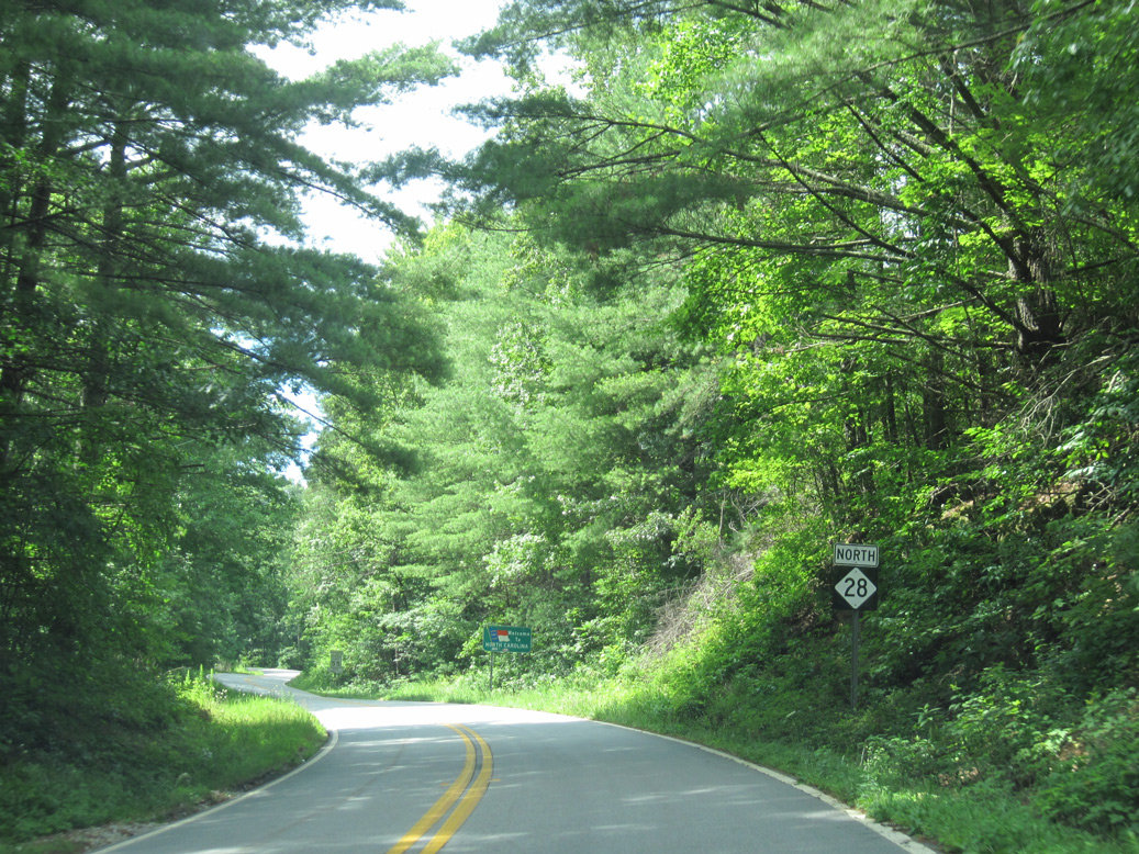
MSR 28 enters North Carolina between Big Ridge and Dyer Mountain.
07/09/10
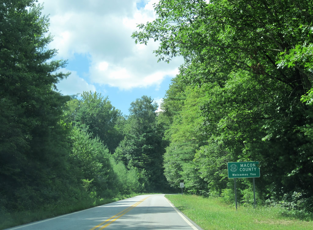
The initial stretch of NC 28 through Macon County winds northeast to Sassafras Gap west of Queen Mountain.
07/09/10
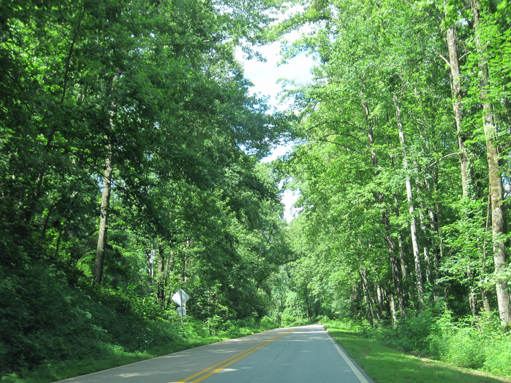
NC 28 gains around 300 feet in elevation from the Georgia line to Sassafras Gap. The state route continues along the north side of Queen Mountain to Wilson Gap.
07/09/10
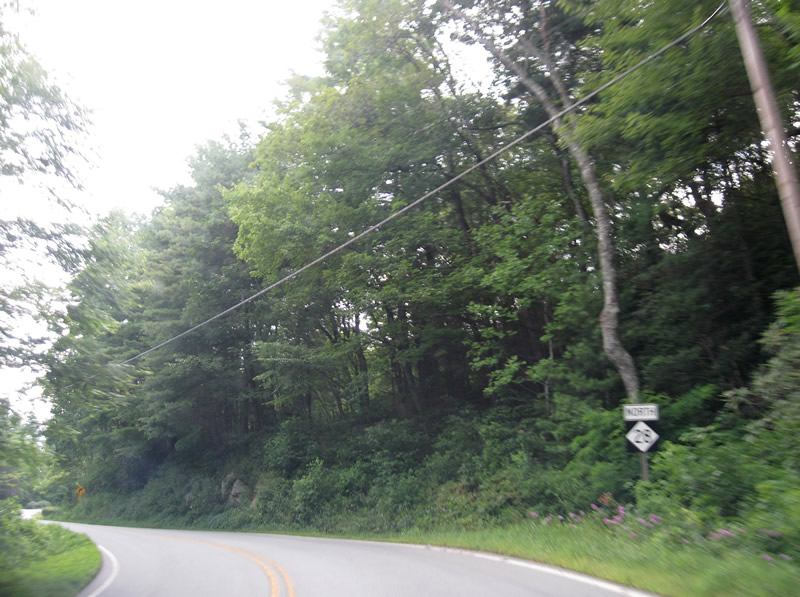
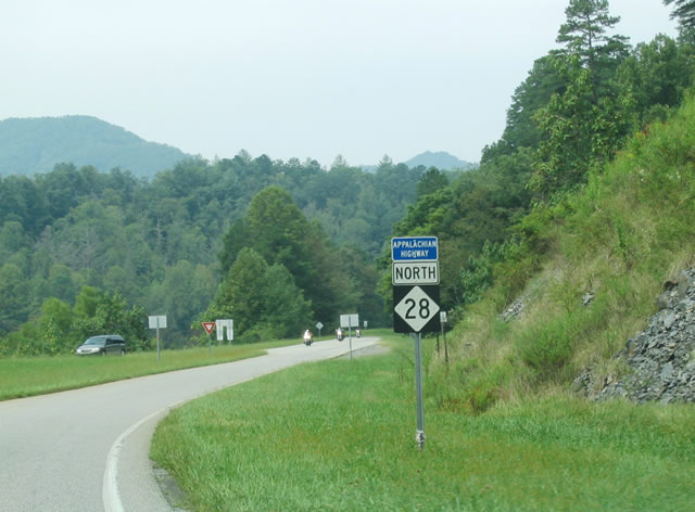
Northbound shield assembly posted as NC 28 climbs onto Blue Ridge.
07/09/10
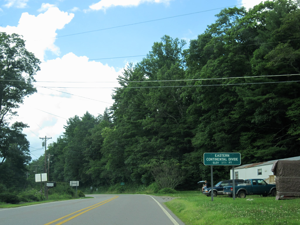
NC 28 crests at 3,771 feet above sea level and the Eastern Continental Divide just east of Sassafras Knob on Blue Ridge.
07/09/10
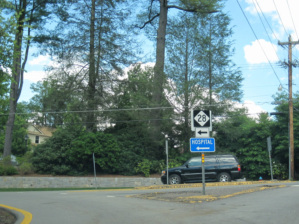
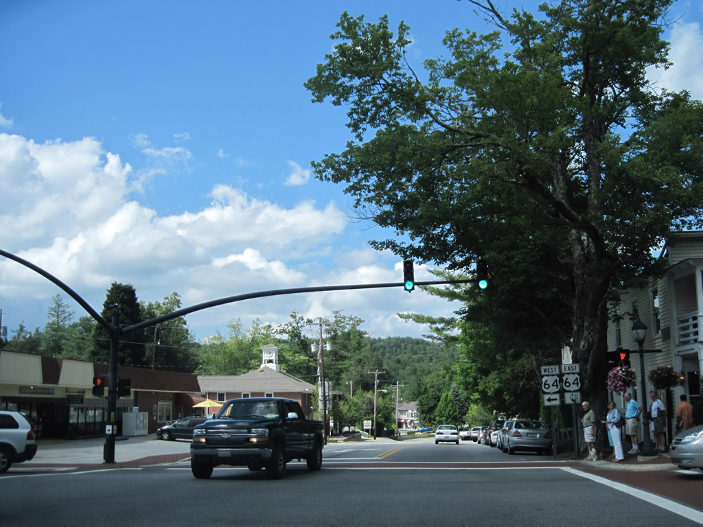
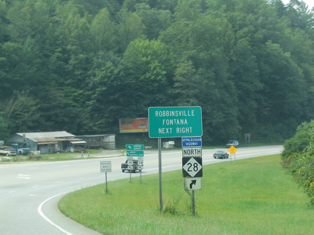
NC 28 zigzags north and east into the town of Highlands. The state route turns north at Salulah Road for the approach to U.S. 64 (Main Street).
07/09/10
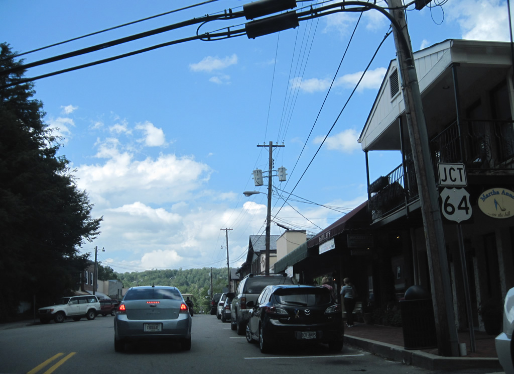
4th Street gains on-street parking as NC 28 enters Downtown Highlands. NC 28 turns west two blocks past Spring Street onto U.S. 64. The two highways overlap northwest to Gneiss, Cullasaja and Franklin.
07/09/10
U.S. 64 follows Main Street east from Franklin Road to 4th Street, where the route turns northeast to Cashiers, Sapphire and Lake Toxaway.
07/09/10
 South
South  West
West 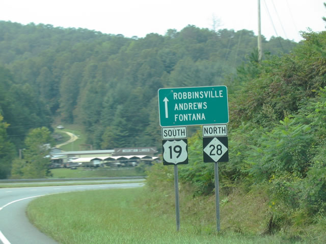
NC 28 combines with U.S. 19/74 for 3.14 miles west from Lauada toward Almond.
09/12/04
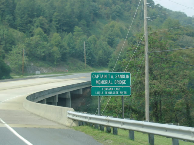
A branch of Fontana Lake extends southward to U.S. 19-74/NC 28 one mile west of Lauada. The Little Tennessee River flows south from the lake to Franklin and Macon County.
09/12/04
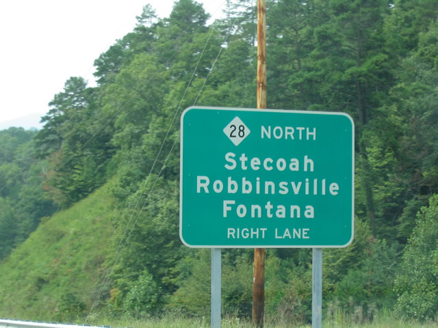
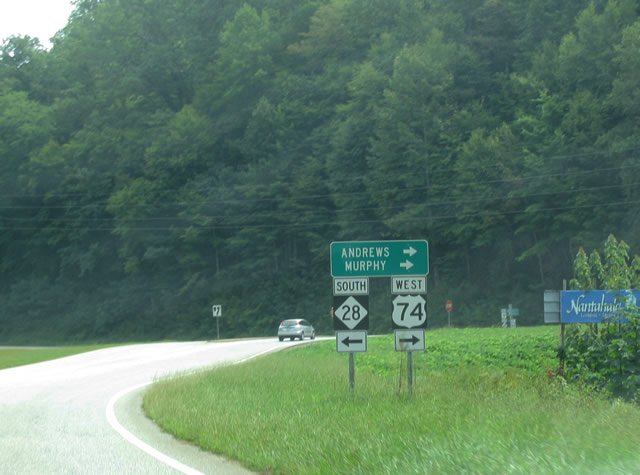
NC 28 branches northwest from U.S. 19-74 through the Fontana Lake area to Stecoah, NC 143 and Fontana Village.
09/12/04
NC 28 continues 8.8 miles west from U.S. 19-74 with four lanes to Edwards Gap between Deep Gap and Meetinghouse Mountains. U.S. 19-74 turns south along Breedlove Mountain toward Wesser and Nantahala Gorge.
09/12/04
NC 28 northbound after its split with U.S. 19-74. The state route travels west to Almond across the southern reaches of Fontana Lake to Stecoah and Fontana Village en route to U.S. 129 near the Tennessee state line.
09/12/04
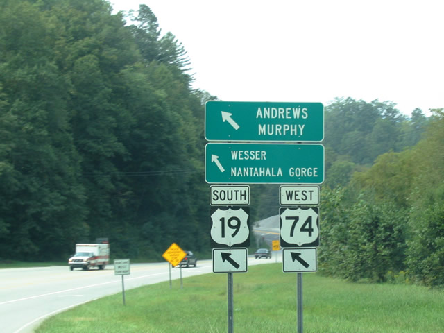
Southbound NC 28 at U.S. 19/74. NC 28 overlaps for three miles to Lauada. U.S. 19-74 enter the area from Wessler and Nantahala Gorge to the southwest.
09/12/04
The three routes travel a four lane highway to Lauada where NC 28 angles south to Franklin and Highlands. U.S. 19-74 continue the four lane highway northeast to Bryson City and the Great Smoky Mountains Expressway.
09/12/04
North East  South
South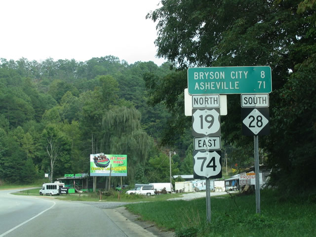
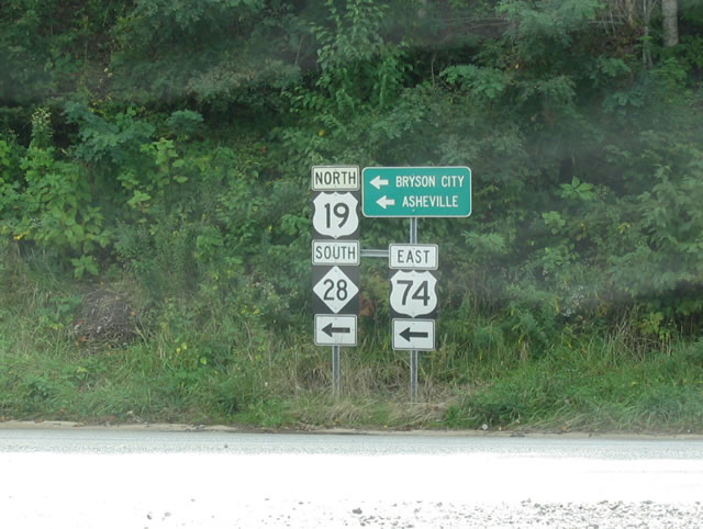
NC 28 southbound joins U.S. 19/74 east for 3.14 miles to Lauada. U.S. 19-74 part ways in 5.42 miles outside of Bryson City and reconvene between Waynesville and Clyde.
09/12/04
NC 28 leads south from Lauada 21 miles to Franklin. NC 28 is part of a multi state route leading south to Augusta, Georgia and Beech Island, South Carolina.
Photo Credits:
- Alex Nitzman: 07/09/10
- Alex Nitzman, Carter Buchanan: 07/09/10
- Carter Buchanan: 09/12/04
- ABRoads, Carter Buchanan:
Connect with:


Page Updated Wednesday January 30, 2013.