
Route 160
NC 160 is an urban route extending 14.81 miles north from the South Carolina state line to NC 49 (S Tryon Street) in the city of Charlotte. Forming a semicircle, the multi state highway originates at Indian Land, South Carolina. S.C. 160 heads west from U.S. 521 to Fort Mill and north by Tega Cay into the Mecklenburg County.
NC 160 (Steele Creek Road) enters Charlotte through a wooded area between the Falcon Ridge and Hamilton Green South subdivisions. North of the Conventry subdivision, Steele Creek Road expands to four lanes to NC 49 (S Tryon Street) between the the Rivergate and Steelcroft Village retail complexes. NC 160 reduces back to two lanes north alongside Walker Branch by the Huntington Forest development to Sledge Road (SR 1119).
Continuing north to Westinghouse Boulevard (SR 1410), NC 160 serves a number of business and industrial parks including Steel Creek Corporate Center and Berkshire Business Park. A number of subdivisions follow as NC 160 advances to the Charlotte Premium Outlets and a six-ramp parclo interchange (Exit 4) with Interstate 485.
Steele Creek Road leads 8.66 miles north from the state line to West Boulevard (SR 5936) at Byrum Drive (SR 1255). Turning east along the southern periphery of Charlotte Douglas International Airport (CLT), NC 160 overtakes West Boulevard to Yorkmount Road and the Airport South Logistics Park. West Boulevard takes NC 160 from Billy Graham Parkway (Charlotte City Route 4) to Reid Park, Revolution Park and Willmore. The state route conclude S Tryon Street at the South End district.
 North
North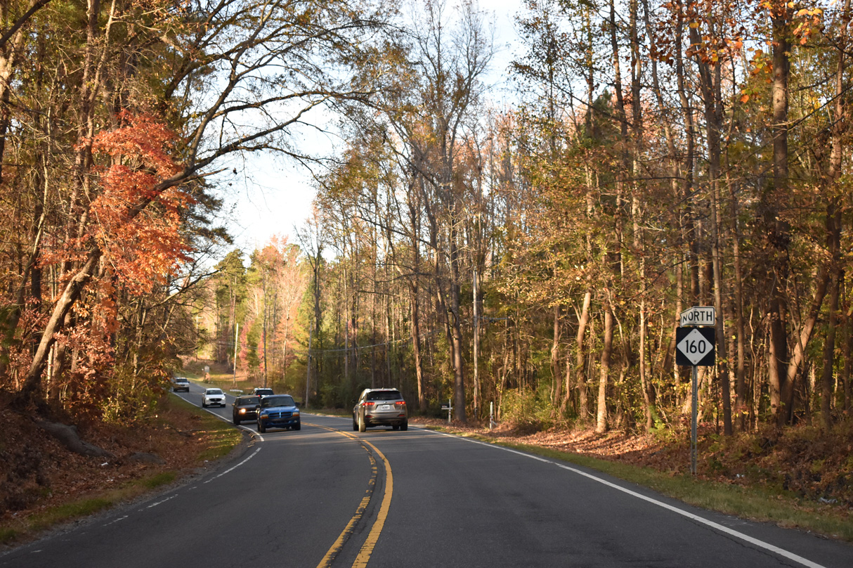
The first confirming marker for NC 160 stands just beyond the South Carolina line near Blankenship Branch.
11/20/21
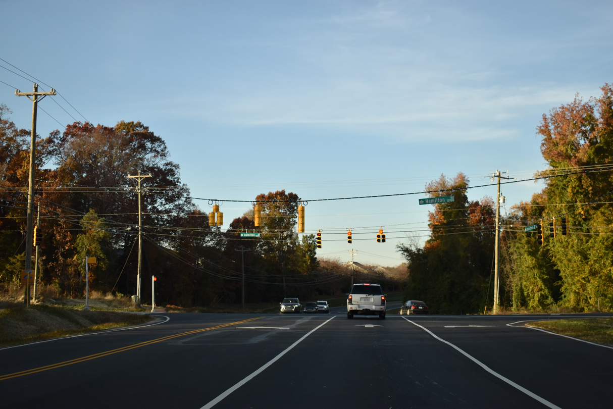
NC 160 (Steele Creek Road) intersects Hamilton Road (SR 1106) just north of the Steele Creek Landing and Pineknoll subdivisions.
11/20/21

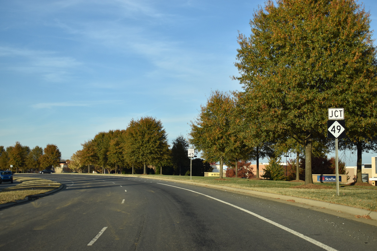
NC 160 was realigned east to intersect NC 49 (S Tyron Street) at a 90 degree angle. The former alignment on Old Steele Creek Road (SR 5922) branches north from NC 160 ahead of Walker Branch Road and the Rivergate retail complex.
11/20/21
NC 49 is a heavily developed arterial route leading west to Lake Wylie, South Carolina and northeast to Ayrsley in Charlotte.
11/20/21
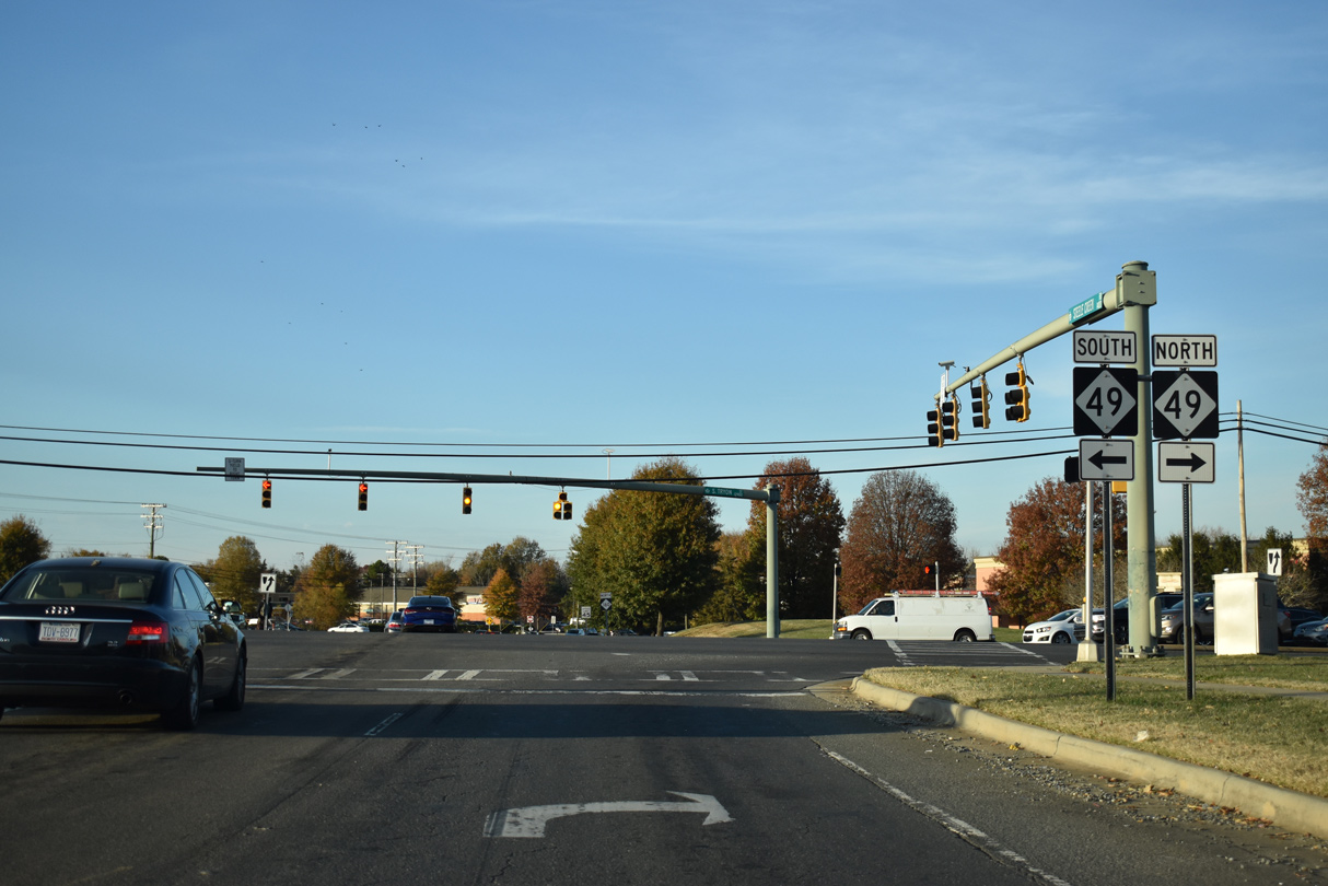
NC 49 becomes S.C. 49 south en route to York. NC 49 north line S Tyron Street to the South End district near Uptown Charlotte.
11/20/21
Photo Credits:
- ABRoads: 11/20/21
Connect with:
Page Updated Wednesday November 24, 2021.