State Route 28
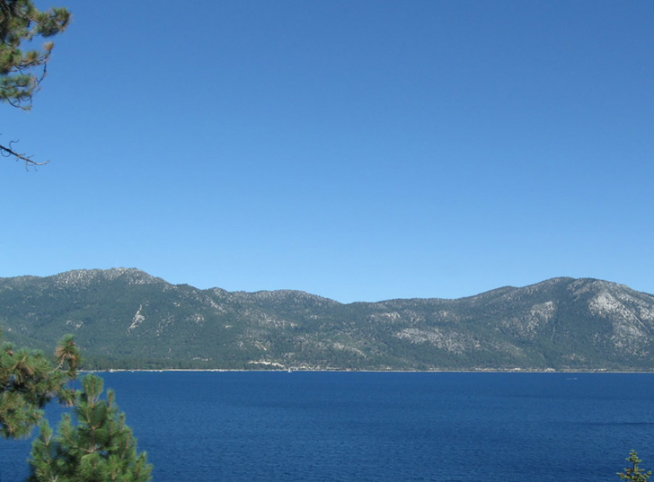
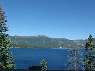
This view looks east across Crystal Bay at northern Lake Tahoe from SR 28 (Lakeshore Drive) between Crystal Bay and Incline Village. - 07/21/2009
Nevada State Route 28 is the continuation of California State Route 28 from Kings Beach southeast to U.S. 50 at Spooner Junction in the Tahoe Basin. The state route is part of a loop around Lake Tahoe that includes U.S. 50, California State Route 89 and California State Route 28.
Lakeshore Boulevard carries Nevada State Route 28 around the north and east shores of Lake Tahoe, connecting California State Route 28 at Crystal Bay with U.S. 50 at Spooner Junction.
07/21/09
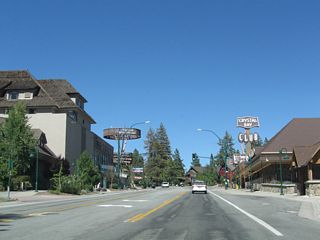
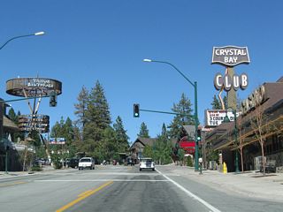
The Tahoe Biltmore and Crystal Bay Club casinos line both sides of Nevada 28. From here, Nevada 28 will proceed a bit to the north, then turn east again in Incline Village.
07/21/09
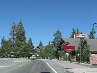
The Nugget Casino sits on the southeast side of Nevada 28. The state route soon leaves Crystal Bay en route to Incline Village.
07/21/09
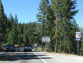
Residences, villas, and vacation cottages line the lake between Crystal Bay and Incline Village.
07/21/09
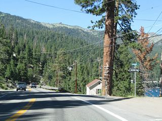
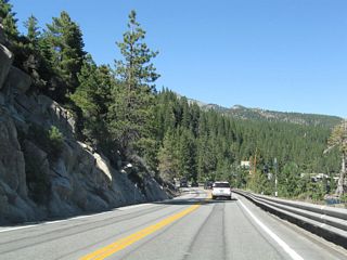
Magnificient views of Lake Tahoe are afforded as Nevada 28 continues north toward Incline Village.
07/21/09
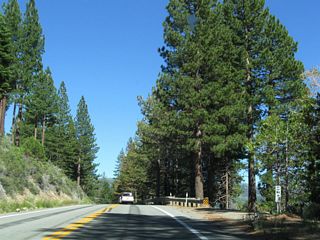
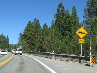
A reference marker for Nevada 28 is posted a short distance ahead, just prior to crossing into Incline Village.
07/21/09
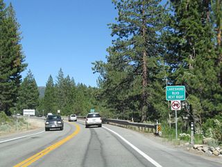
The next right turn is for Lakeshore Boulevard, which is the old alignment of Nevada 28 through Incline Village.
07/21/09
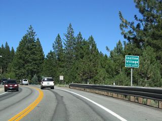
Nevada 28 enters Incline Village, an unincorporated community with an elevation of 6,390 feet above sea level and population of 9,952 as of the 2000 Census.
07/21/09
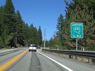
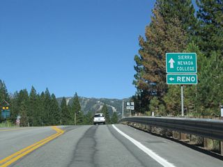
Eastbound Nevada 28 approaches Nevada 431/Mount Rose Highway north to Galena, Mount Rose Junction, and Reno.
07/21/09
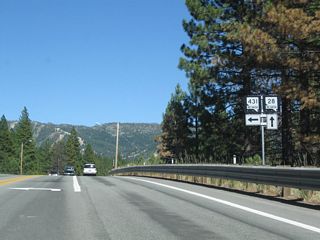
A pair of trailblazer shields -- one for Nevada 28 east and the other for Nevada 431 north -- is posted at the intersection with Mt. Rose Highway.
07/21/09
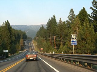
A Nevada 28 east reassurance shield and scenic byway route marker is posted along eastbound after the Nevada 431 intersection in Incline Village.
07/08/07
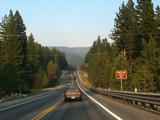
A short distance later, eastbound Nevada 28 approaches Country Club Drive in Incline Village. Turn left to the Incline Village ski area or right for the downtown hotel area. Most of the business district lies along Lakeshore Drive, the old alignment of Nevada 28.
07/08/07
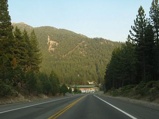
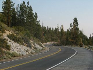
Nevada 28 leaves Incline Village and bends southeast to follow the shoreline to Lake Tahoe Nevada State Park and Spooner Junction.
07/08/07
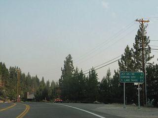
A mileage sign along Nevada 28 provides the distance to U.S. 50 (ten miles), Carson City (22 miles), and South Lake Tahoe (23 miles).
07/08/07
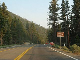
Nevada 28 east enters Lake Tahoe Nevada State Park. The park includes Sand Harbor, Memorial Point, Hidden Beach, Spooner Lake, and Cave Rock (along U.S. 50).
07/08/07
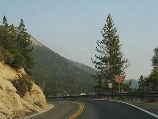
Nevada 28 turns south to follow the lakeshore through the state park. A scenic overlook is available ahead.
07/08/07
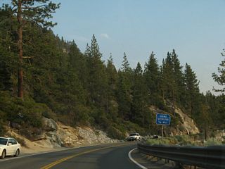
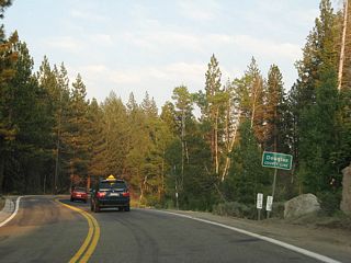
Skipping ahead, after leaving Sand Harbor, Nevada 28 leaves Washoe County and passes through the western corner of Carson City, then enters Douglas County at this point.
07/08/07
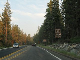
Southbound Nevada 28 approaches the turnoff for Spooner Lake (left turn) in Lake Tahoe Nevada State Park.
07/08/07
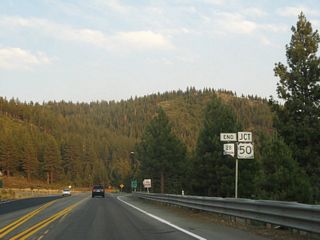
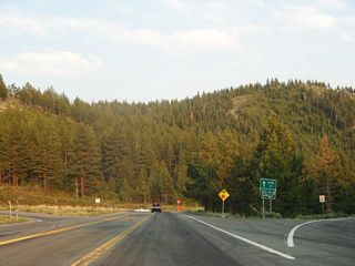
Approaching Spooner Junction, southbound Nevada 28 meets its end at the junction with U.S. 50.
07/08/07
Turn right via the ramp to continue the loop tour around Lake Tahoe via U.S. 50 west. Destinations along U.S. 50 west include Cave Rock, Zephyr Cove, Stateline, South Lake Tahoe, Placerville, and Sacramento. Turn left to follow U.S. 50 east to Carson City.
07/08/07
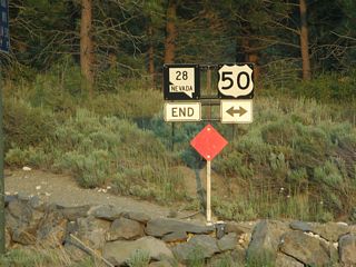
Another end Nevada 28 shield assembly is posted at the intersection with U.S. 50. Turn left here for Carson City.
07/08/07
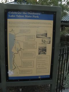
This kiosk at the Scenic Overlook off Nevada 28 southeast of Incline Village offers a list of attractions along the state route as it passes through Lake Tahoe Nevada State Park.
07/08/07
The scenic overlook within Lake Tahoe Nevada State Park.
07/08/07
Photo Credits:
- Andy Field: 07/08/07, 07/21/09
Connect with:
Page Updated Tuesday January 19, 2010.

