
State Route 28
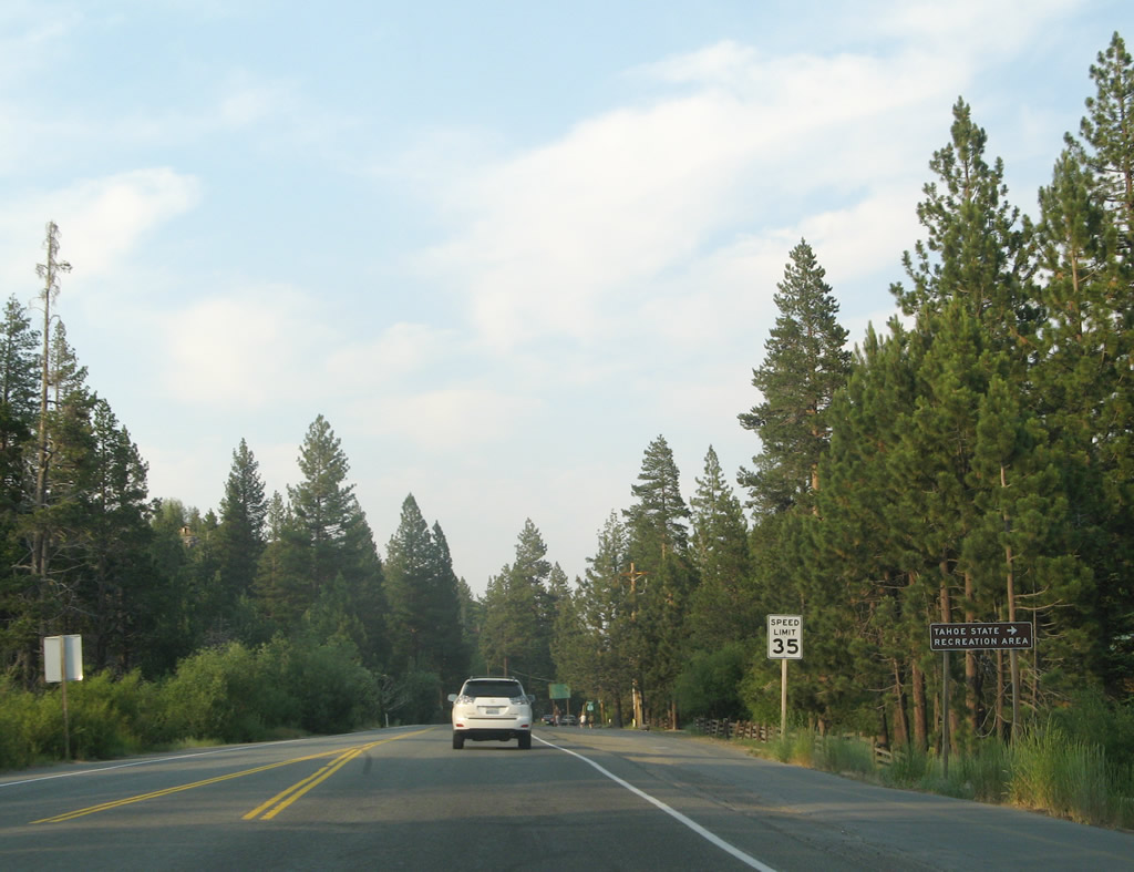
California 28 is part of the circular route around Lake Tahoe. Between California 89 at Tahoe City and the Nevada state line, California 28 passes through Lake Forest, Tahoe Vista (California 267), Kings Beach, and Brockway. At Brockway, California 28 changes into Nevada State Route 28 as the highway continues into Nevada. Nevada 28 continues east through Crystal Bay and Incline Village, then turns south along the east shore of Lake Tahoe (through Lake Tahoe-Nevada State Park) and ends at U.S. 50 at Spooner Junction. From there, U.S. 50 continues south along the east shore to Zephyr Cove, Stateline, and South Lake Tahoe. California 89 serves as the western leg of the circular tour around Lake Tahoe, passing through Camp Richardson, Emerald Bay, Meeks Bay, Tahoma, Homewood, and Tahoe City before meeting California 28 at Tahoe City.
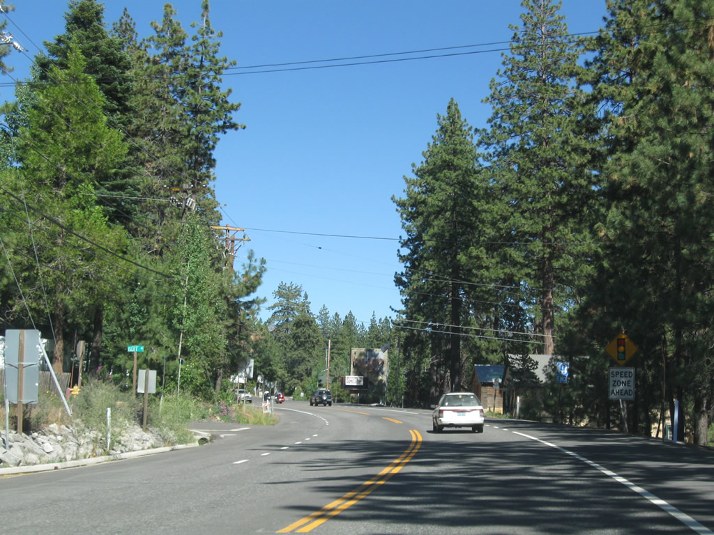
California 28 follows North Lake Boulevard (also shown on some maps as North Tahoe Boulevard) from Tahoe City northeast to Tahoe Vista an Kings Beach. Once at Kings Beach, California 28 crosses into Nevada at Crystal Bay and becomes Nevada 28. From there, Nevada 28 travels east to Incline Village then turns south through Lake Tahoe Nevada State Park to meet U.S. 50 at Spooner Junction. This view looks northeast on California 28 after departing the Tahoe City wye intersection with California 89. Note the shields to the left in this photo; they are part of the end shield assembly for California 28 west. Nevada 28 is similarly signed with an end shield at the U.S. 50 intersection.
07/08/07
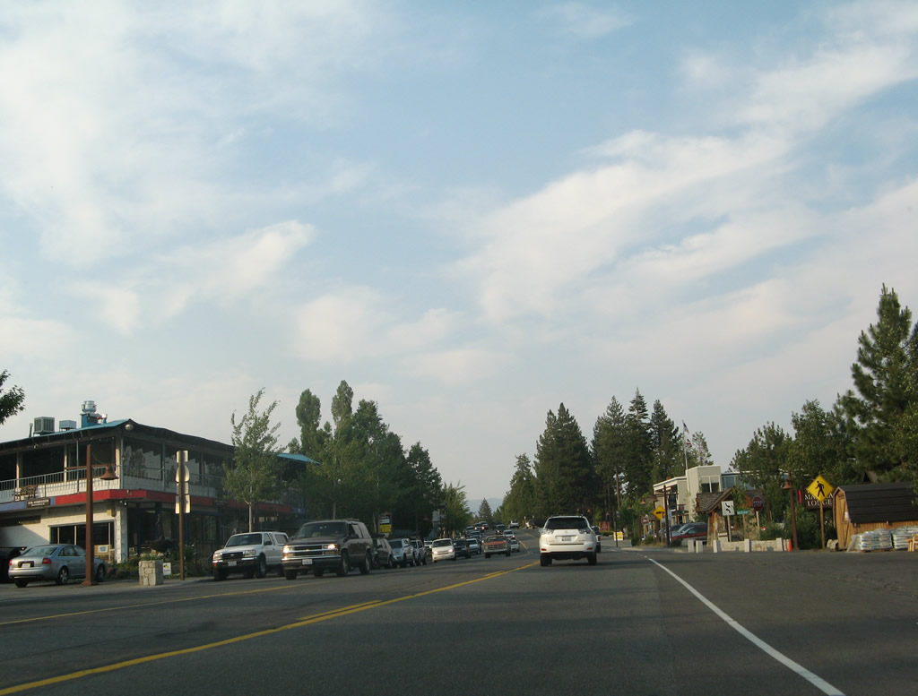
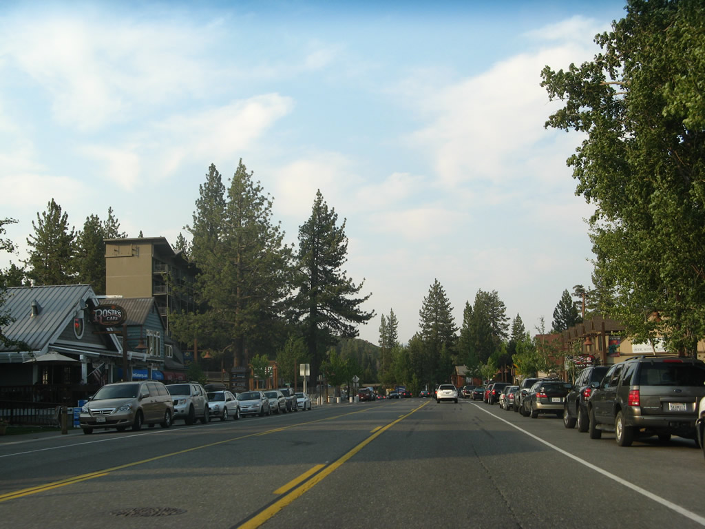
Eastbound California 28 passes through downtown Tahoe City. Although unincorporated, Tahoe City serves as one of the hubs of northern Lake Tahoe. Along with Kings Beach and Incline Village, Nevada, Tahoe City plays a role similar to the one South Lake Tahoe plays at the southern shore of the lake.
07/08/07
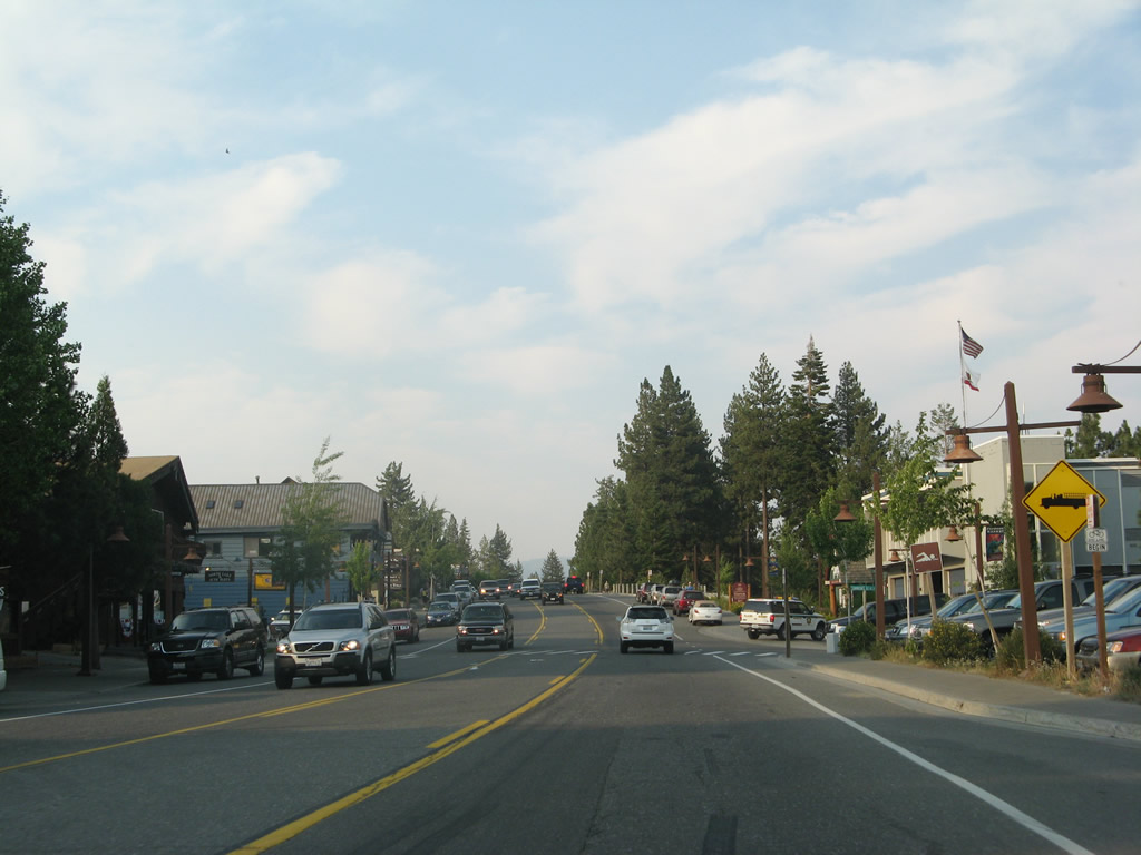
Leaving Tahoe City, eastbound California 28 approaches the turnoff to Tahoe State Recreation Area. This park features lakeside camping, picnic areas, swimming, and fishing.
07/08/07
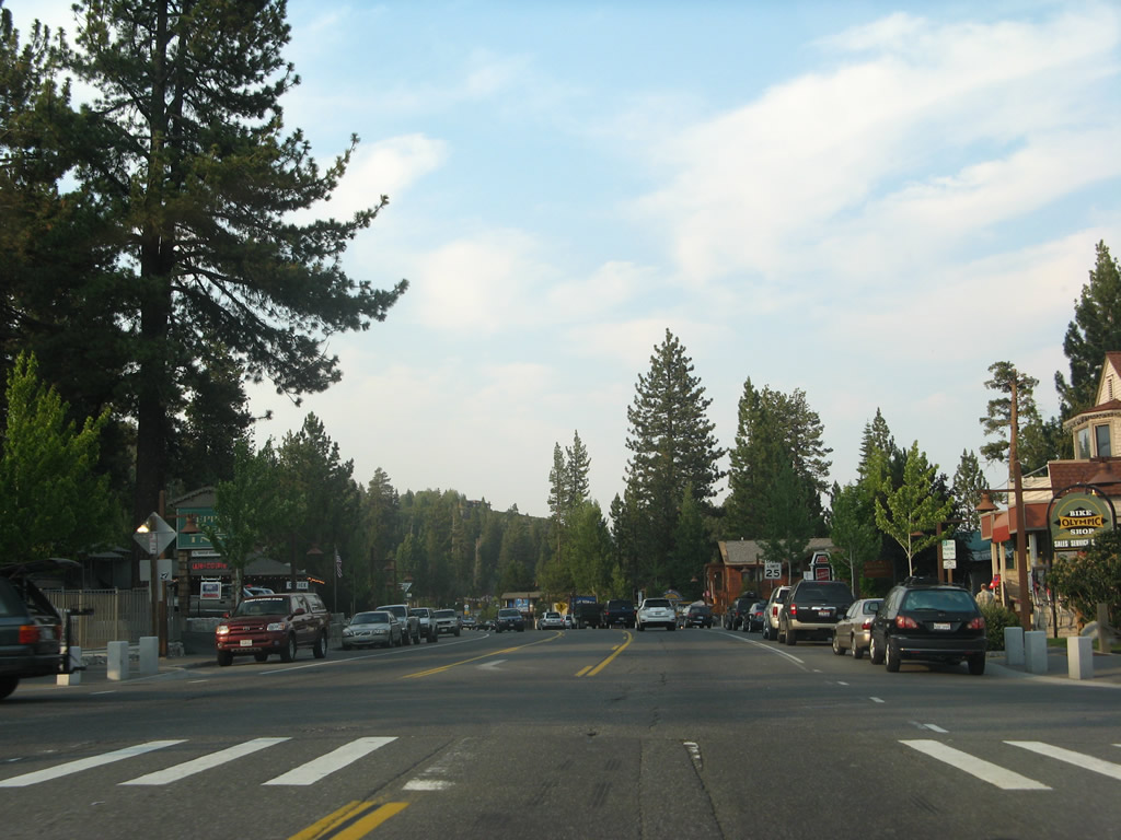
A California 28 west reassurance shield is posted shortly thereafter.
07/08/07
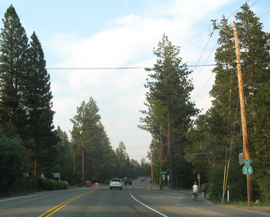
A bike path follows California 28 east between Tahoe City and Carnelian Bay.
07/08/07
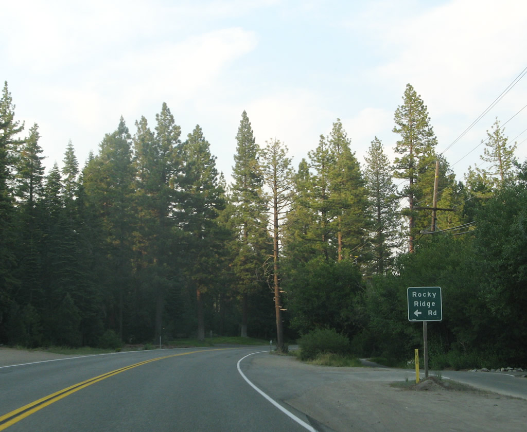
Eastbound California 28 approaches the the left turn to Rocky Ridge Road north to Burton Creek State Park. This park is primarily for hiking, as the park is largely undeveloped and is situated away from the lake.
07/08/07
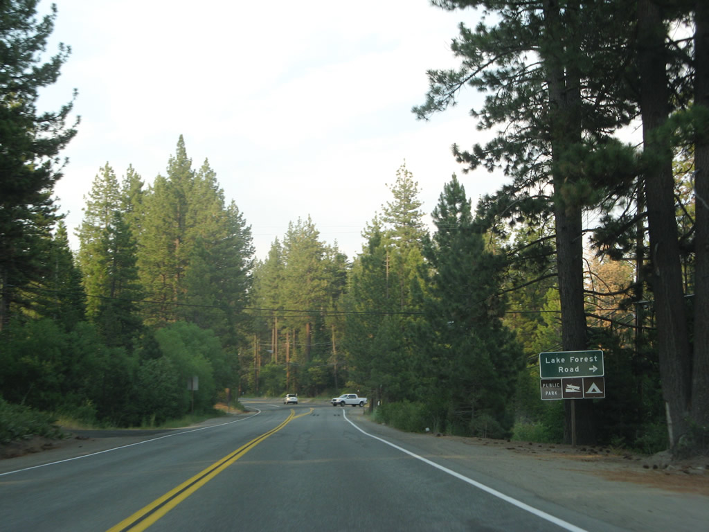
Soon thereafter, eastbound California 28 (North Lake Boulevard) approaches Lake Forest Road east. This side road loops back to California 28 a short distance northeast of here.
07/08/07
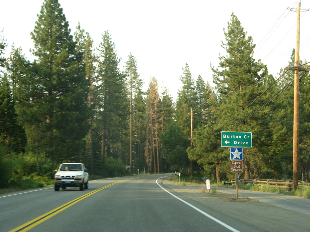
The next left turn connects eastbound California 28 to Burton Creek Drive north to the county sheriff station and courthouse annex; Burton Creek Drive is not a through street.
07/08/07
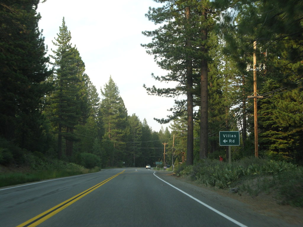
Eastbound California 28 approaches Villas Drive.
07/08/07
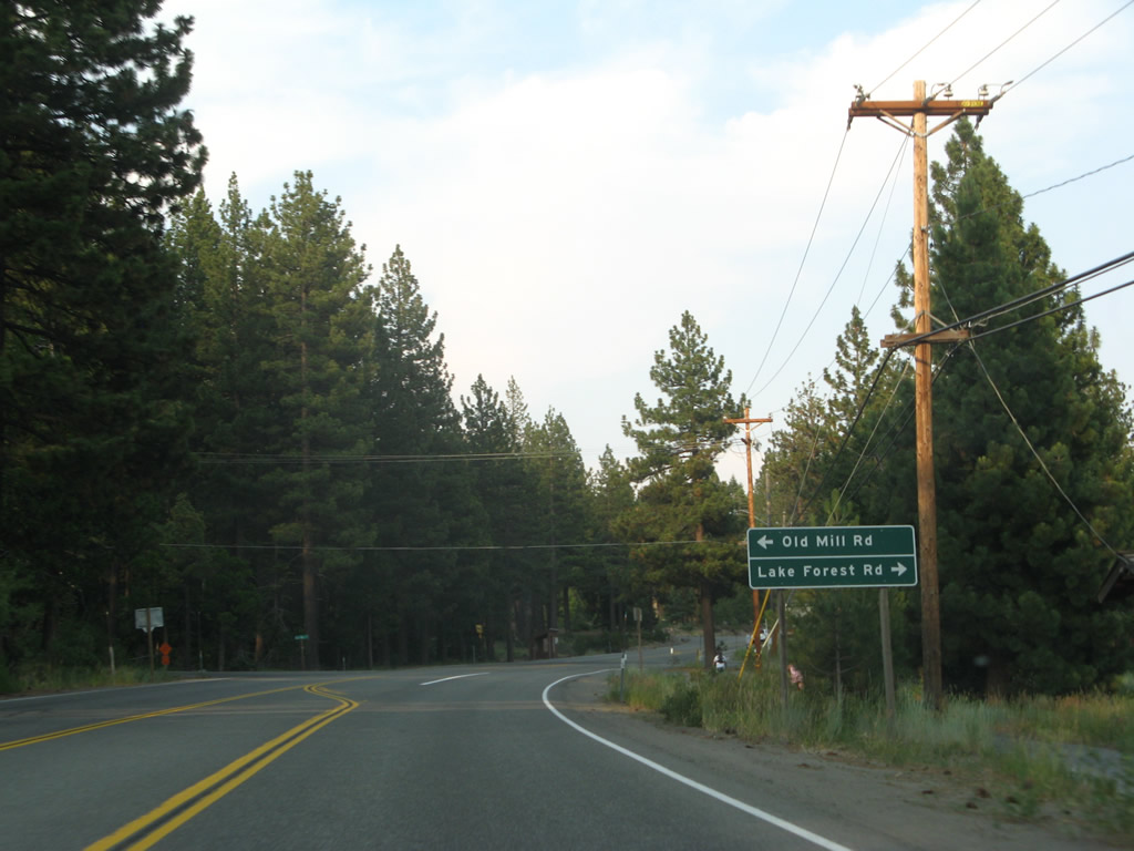
The next intersection along eastbound California 28 is with Old Mill Road and Lake Forest Road (loop route).
07/08/07
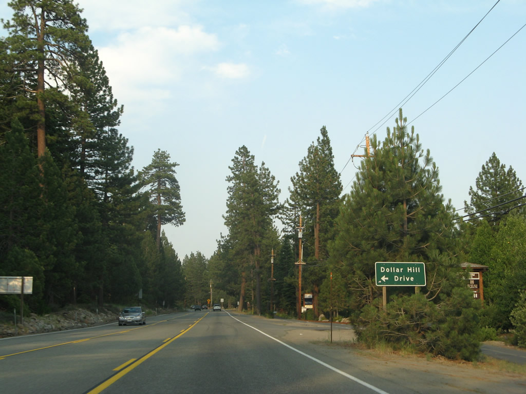
Eastbound California 28 approaches Dollar Hill Drive, which leads into a small residential area.
07/08/07
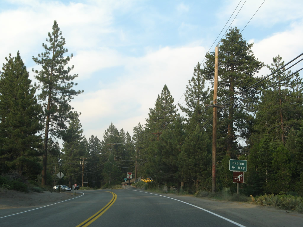
Shortly thereafter, eastbound California 28 approaches Fabian Way north into another residential area.
07/08/07
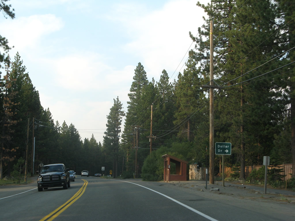
The next right turn from California 28 east is to Dollar Drive. This road leads to Dollar Point.
07/08/07
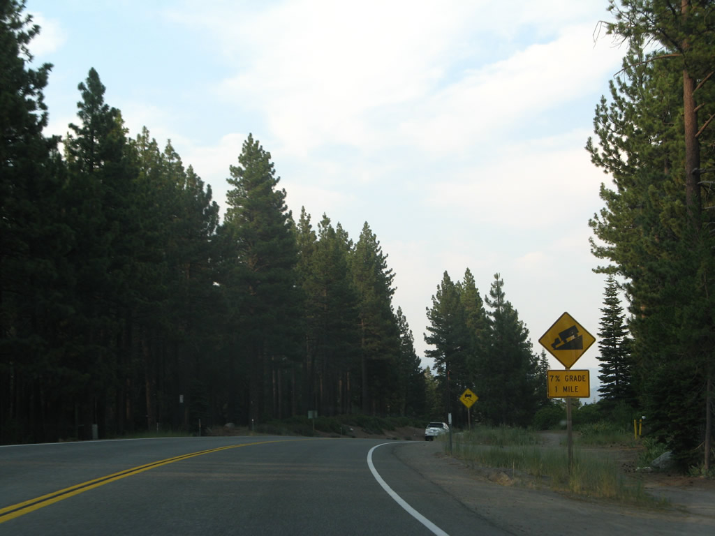
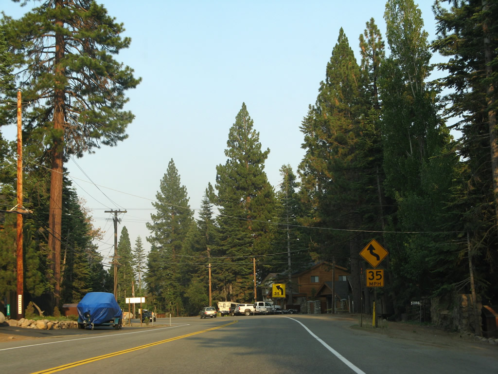
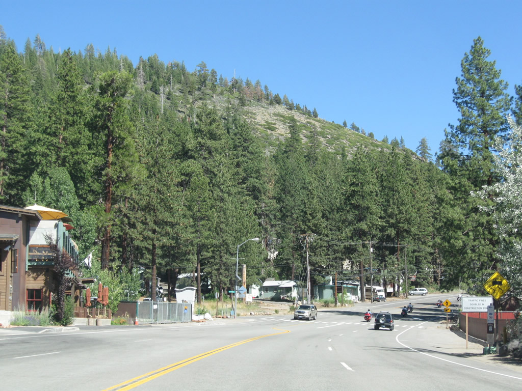
In one mile, California 28 will descend on a steep grade (over seven percent).
07/08/07
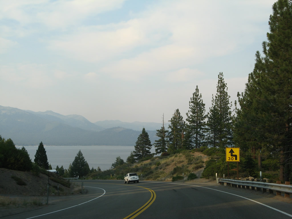
Lake Tahoe (Carnelian Bay) again comes into view on this hazy evening as SR 28 continues northeast between Dollar Point and Carnelian Bay.
07/08/07
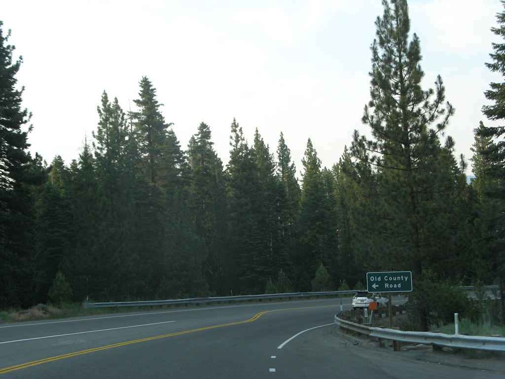
The next left from California 28 east is with Old County Road. Despite the name, this does not appear to be an old alignment of California 28.
07/08/07
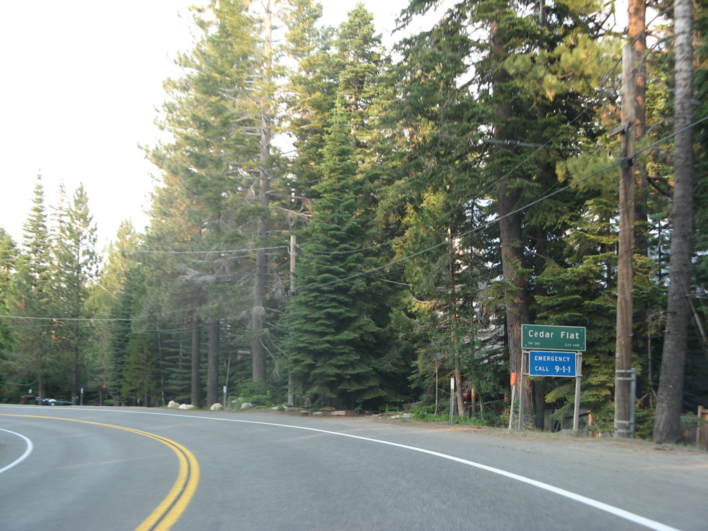
Eastbound California 28 enters the unincorporated community of Cedar Flat.
07/08/07
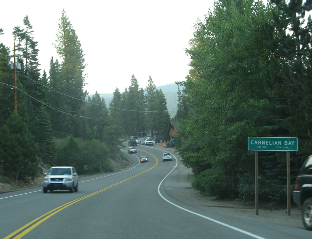
Soon thereafter, eastbound California 28 enters the unincorporated community of Carnelian Bay.
07/08/07
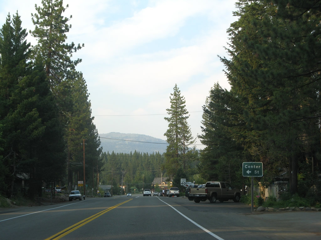
Eastbound California 28 approaches Center Street in Carnelian Bay.
07/08/07
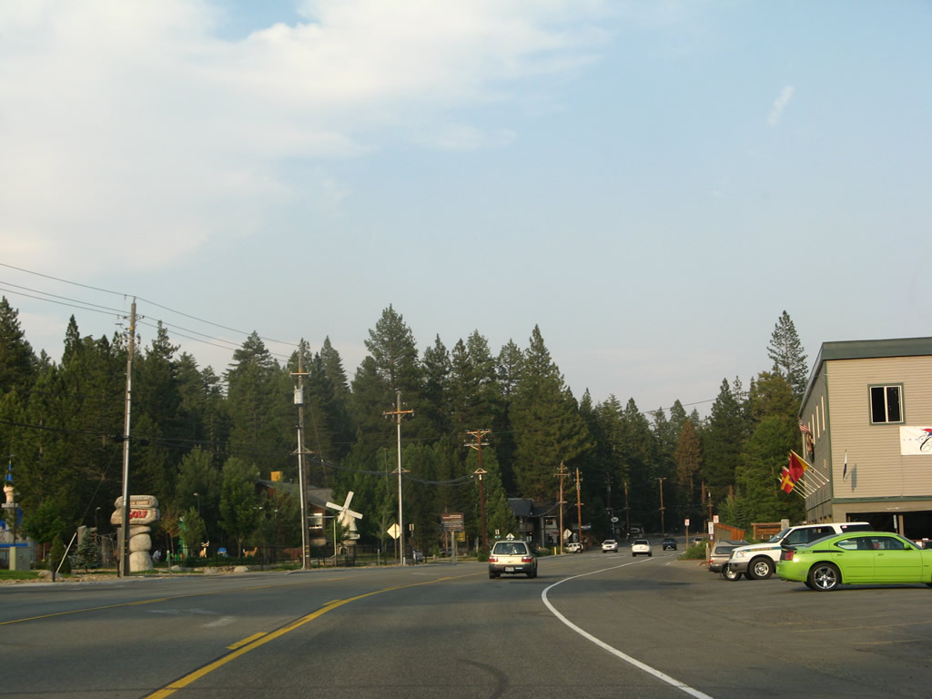
A few shops and restaurants line California 28 in Carnelian Bay. Ahead is the intersection with Carnelian Woods Avenue.
07/08/07
Leaving Carnelian Bay, more homes line California 28 we turn north toward Tahoe Vista.
07/08/07
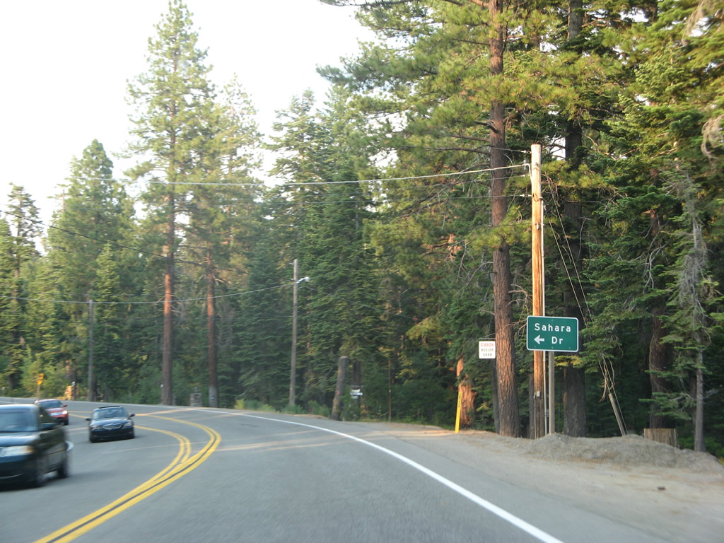
Eastbound California 28 approaches Sahara Drive west.
07/08/07
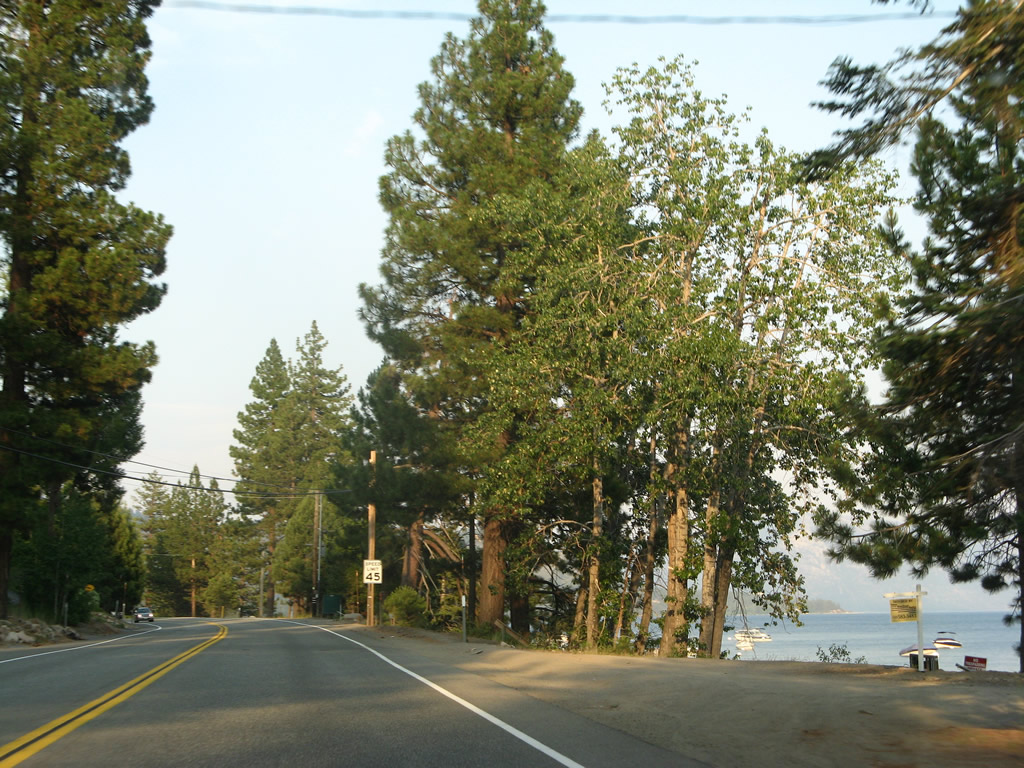
California 28 comes close to the waters edge between Carnelian Bay and Tahoe Vista.
07/08/07
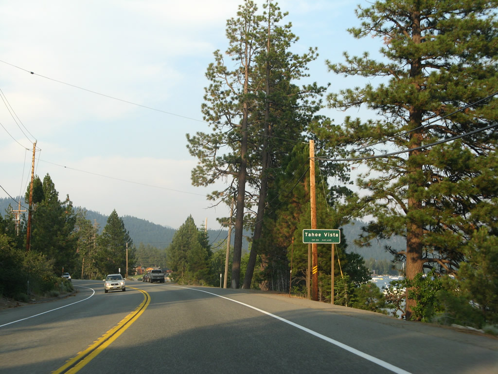
Turning east again, California 28 enters the unincorporated community of Tahoe Vista.
07/08/07
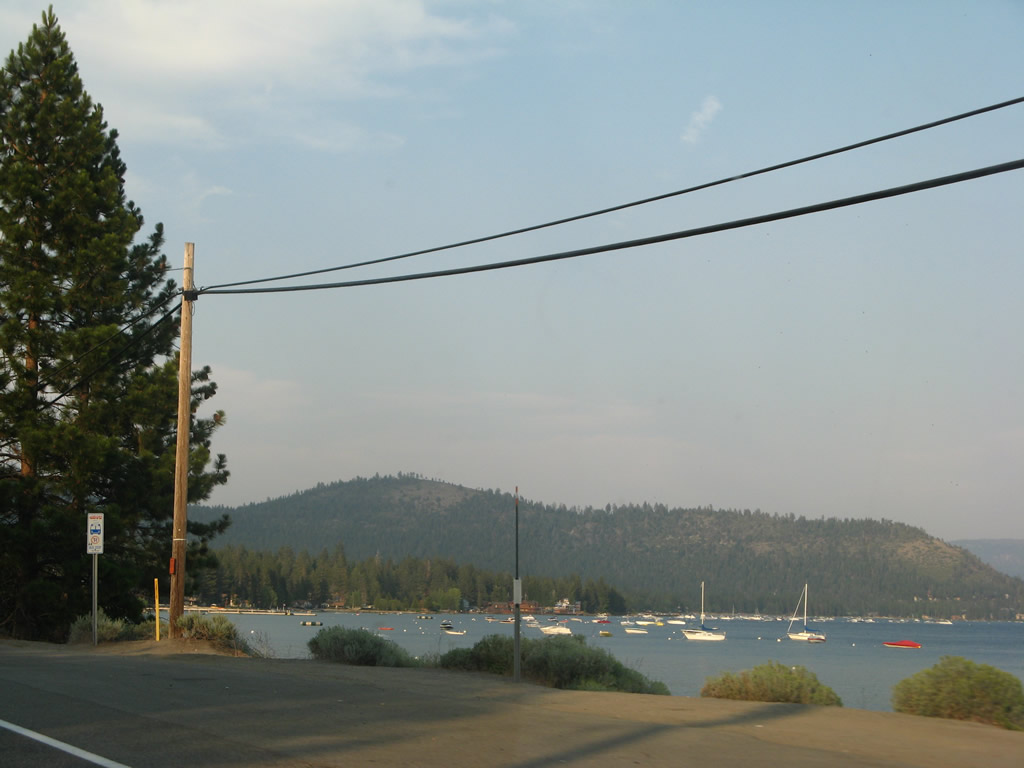
This view looks east across Agate Bay in Tahoe Vista from California 28.
07/08/07
California 28 passes through Tahoe Vista.
07/08/07
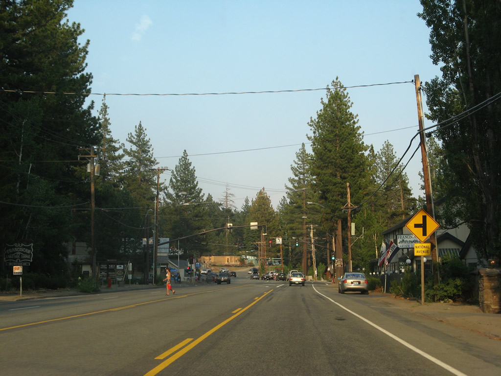
Eastbound California 28 approaches National Avenue north in Tahoe Vista.
07/08/07
A rare traffic signal governs the flow of traffic between California 28 and National Avenue.
07/08/07
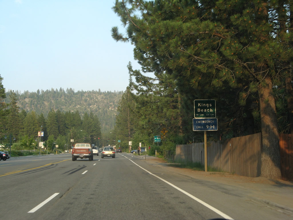
California 28 enters the unincorporated community of Kings Beach (population 4,037 as of the 2000 Census, elevation 6,250 feet).
07/08/07
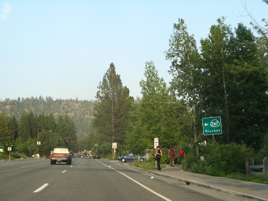
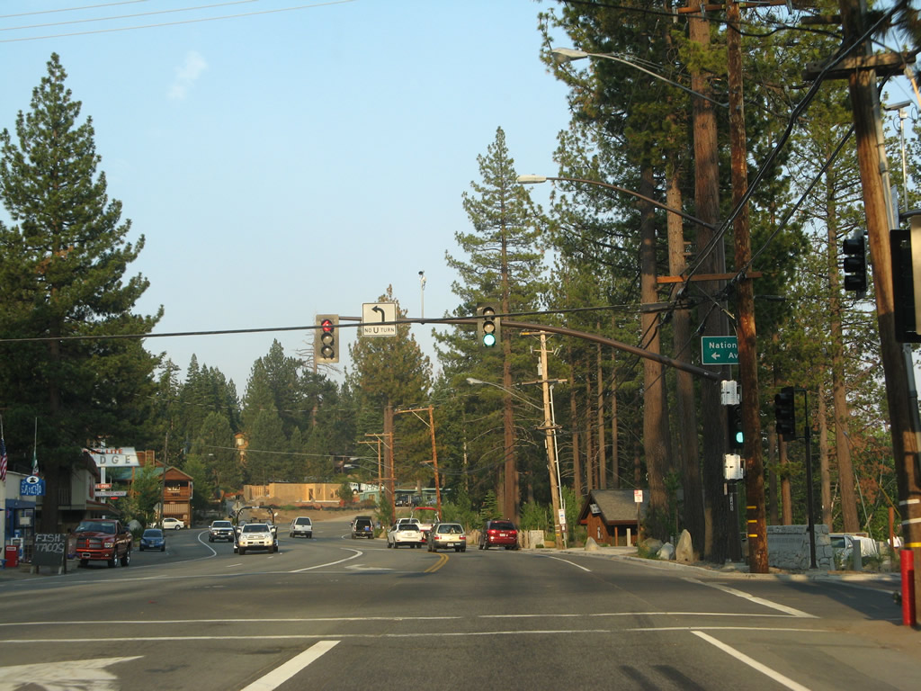
The next traffic signal along California 28 east is with California 267 (North Shore Boulevard) north to Truckee and Interstate 80.
07/08/07
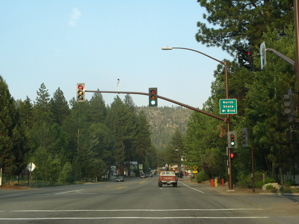
California 28 meets California 267 at this traffic signal. Turn left here to follow California 267 northwest to Truckee and Interstate 80 west to Sacramento and San Francisco. To Reno and Sparks, follow MSR 28 east to Nevada 431 north to U.S. 395 (Interstate 580) north.
07/08/07
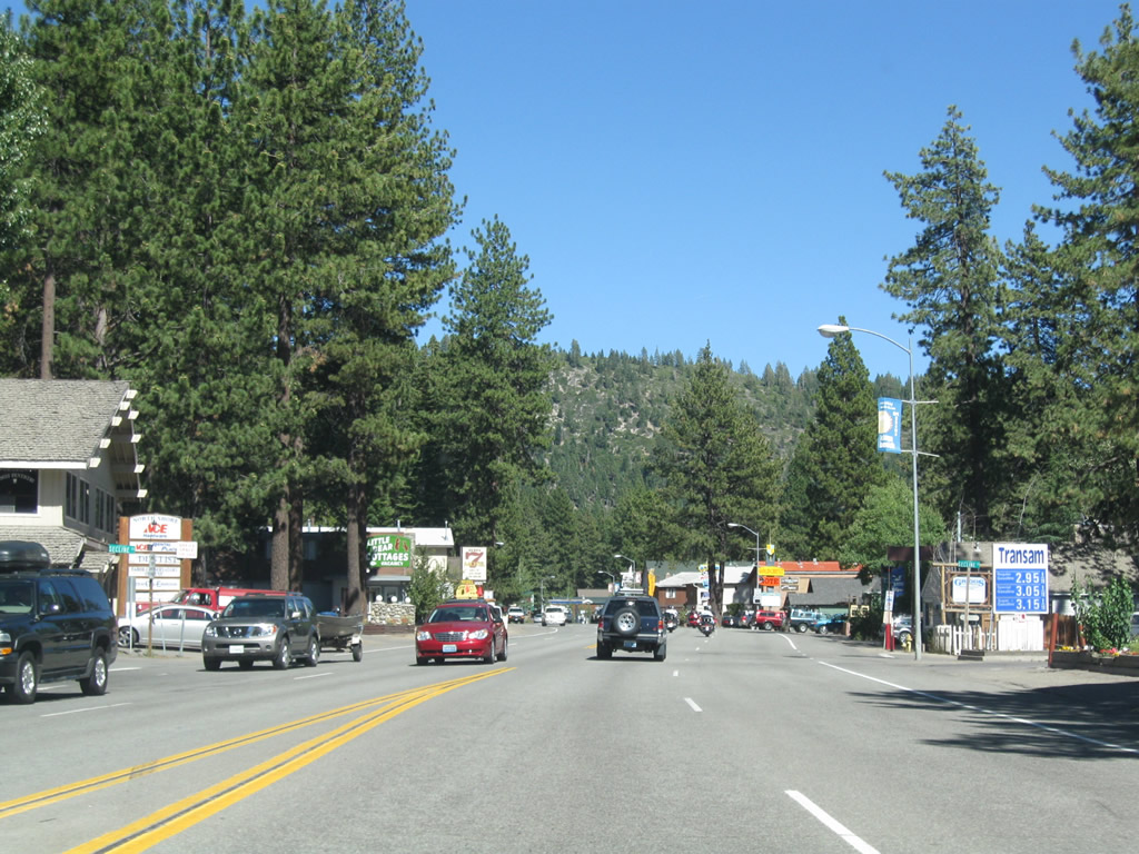
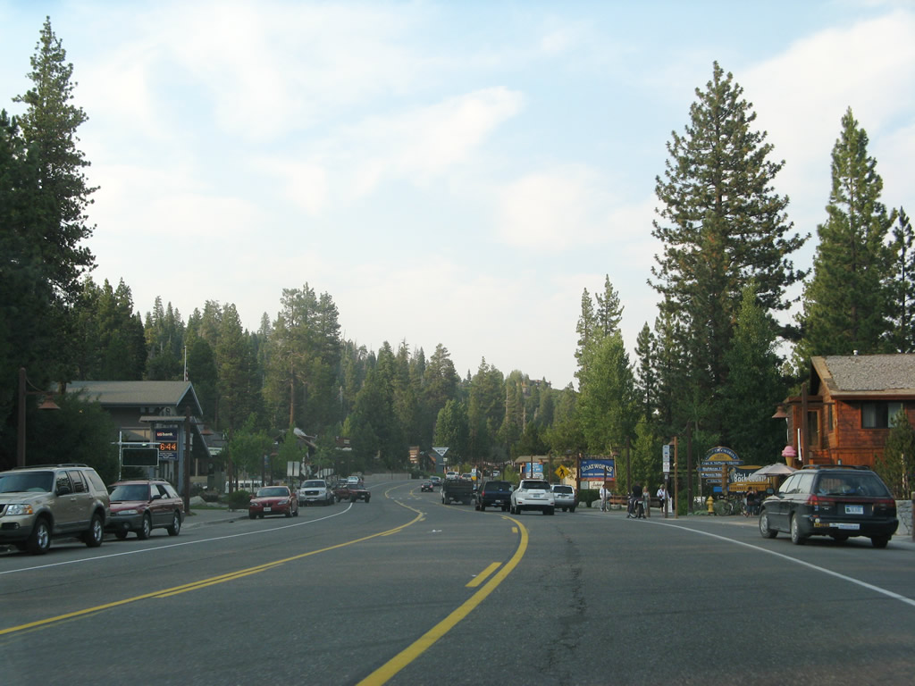
After the California 267 intersection, eastbound California 28 (North Tahoe Boulevard) continues east through Kings Beach.
07/21/09
Most services can be found in Kings Beach, including gas, food, and lodging. Due to its location on the north shore of Lake Tahoe, Kings Beach offers vacation rentals and motel lodging.
07/21/09
Through Kings Beach, eastbound California 28 (North Tahoe Boulevard) carries four lanes.
07/21/09
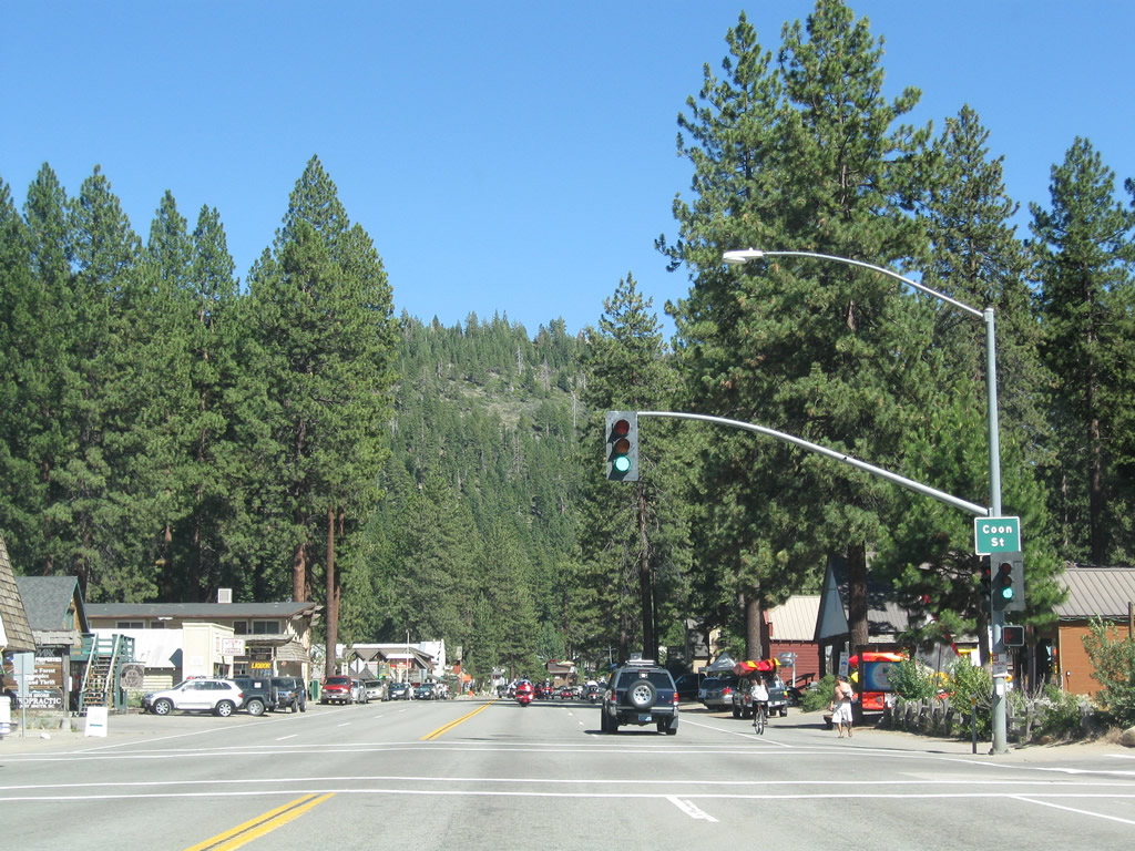
Eastbound California 28 (North Tahoe Boulevard) approaches Coon Street at this signalized intersection. While California 28 is aptly named North Tahoe Boulevard, parallel streets north of here in Kings Beach are named after varieties of fish. For example, the next three east-west streets north of here are named Salmon Avenue, Brook Avenue, and Trout Avenue.
07/21/09
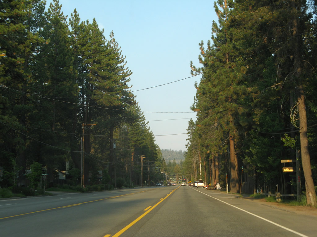
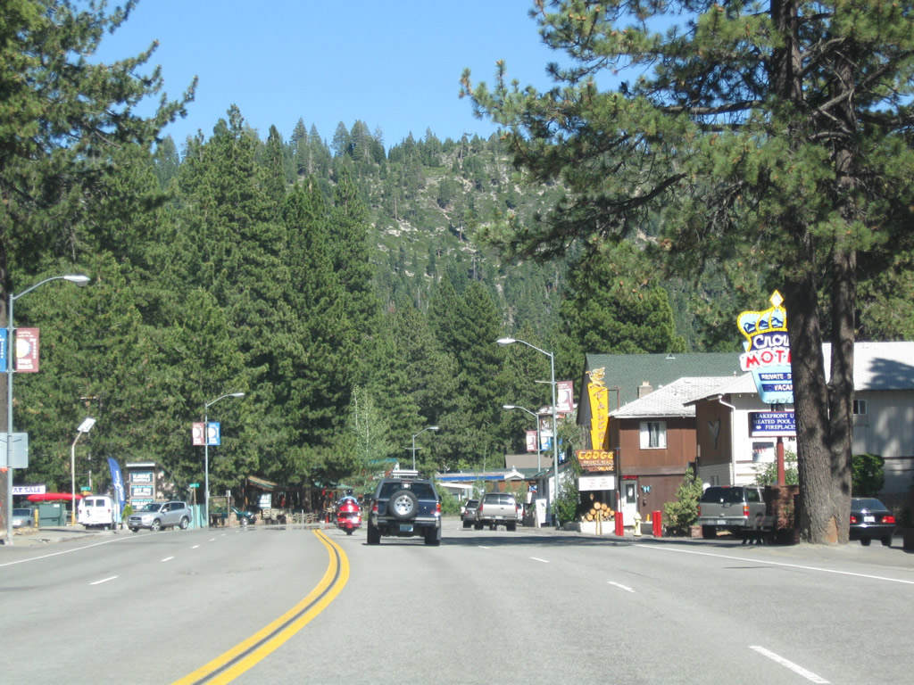
Tall trees line eastbound California 28 (North Tahoe Boulevard) as we leave Kings Beach.
07/21/09
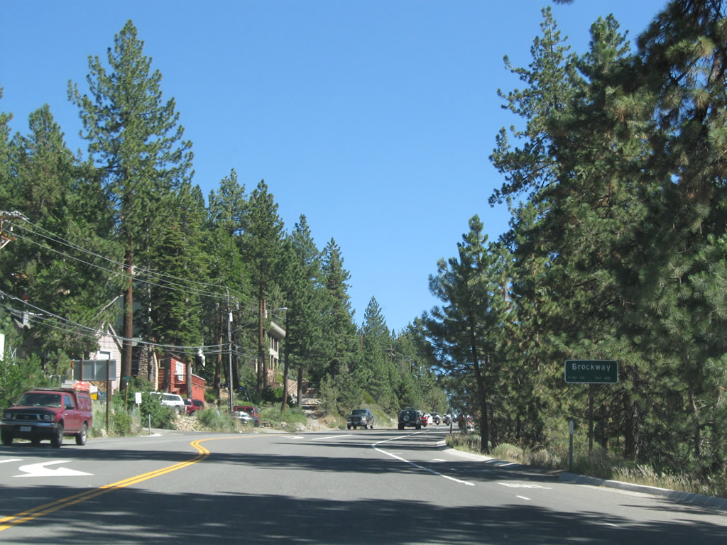
Immediately thereafter, eastbound California 28 (North Tahoe Boulevard) enters the unincorporated community of Brockway. This is the last community along eastbound California 28 before the route enters Crystal Bay, Nevada.
07/21/09
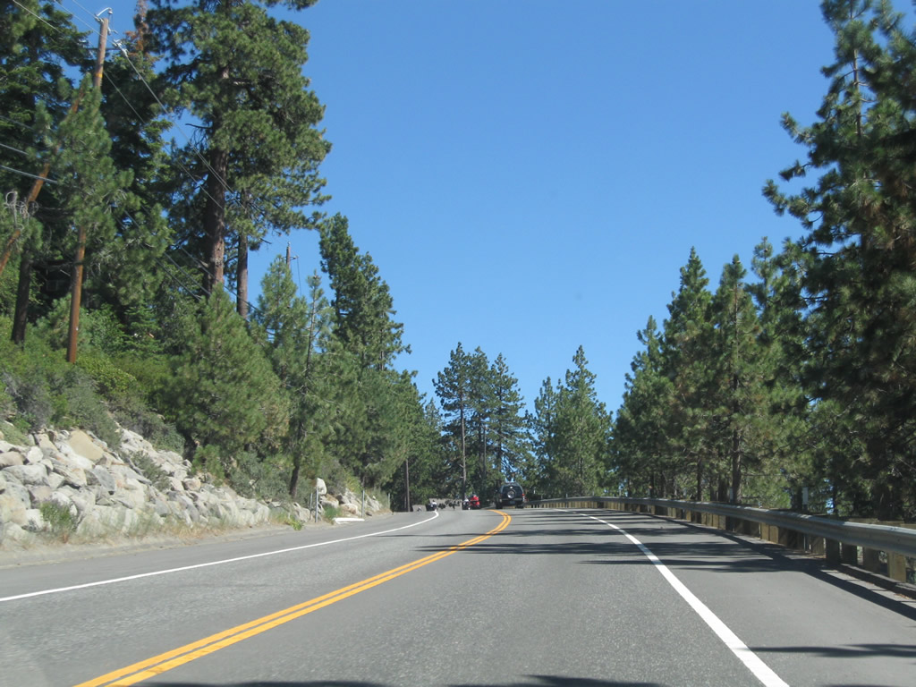
California 28 (North Tahoe Boulevard) reverts to one lane in each direction.
07/21/09
The next traffic signal along California 28 (North Tahoe Boulevard) east is for casino access on the east side of the state line.
07/21/09
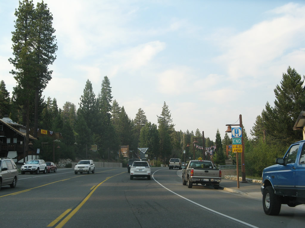
An end truck route sign was posted prior to the state line in 2007, but it was gone in 2009. There is no end shield assembly for California 28 since the route number continues into Nevada.
07/08/07
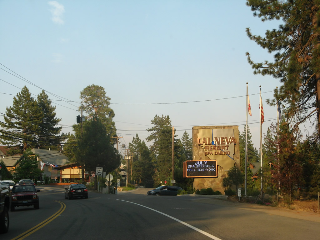
Eastbound California 28 (North Tahoe Boulevard) meets Cal Neva Drive to the Cal Neva Lodge and Casino. This gaming facility is unique in that the state line between Nevada and California runs through its swimming pool and main dining room (see below for photos). Photos taken 07/21/09 and 07/08/07.
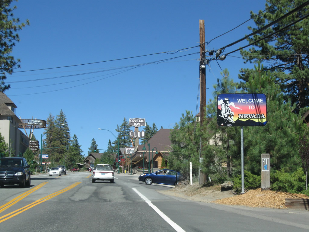
California 28 (North Tahoe Boulevard) changes into Nevada 28 (Lakeshore Boulevard) as the state route leaves California and enters Nevada. At this point, California 28 leaves Brockway and Nevada 28 enters Crystal Bay, Nevada. Several casinos are clustered around the state line, which is comparable to the view at South Lake Tahoe but in a much smaller scale.
07/21/09
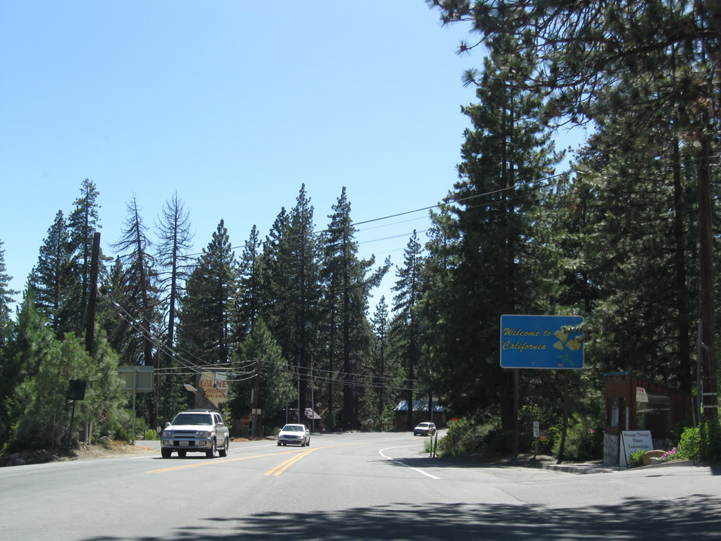
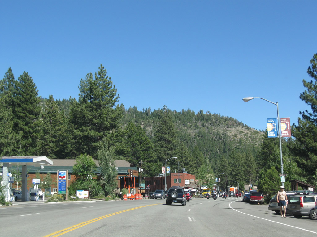
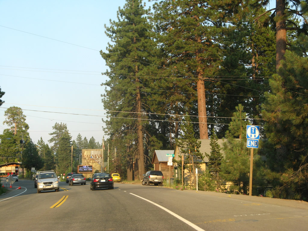
Leaving Crystal Bay, Nevada 28 ends and westbound California 28 (North Tahoe Boulevard) begins. California 28 will initially enter the small unincorporated community of Brockway, then head into Kings Beach.
07/21/09
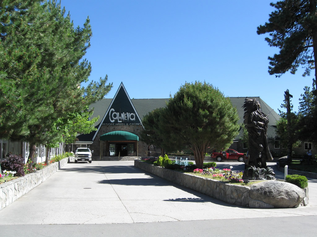
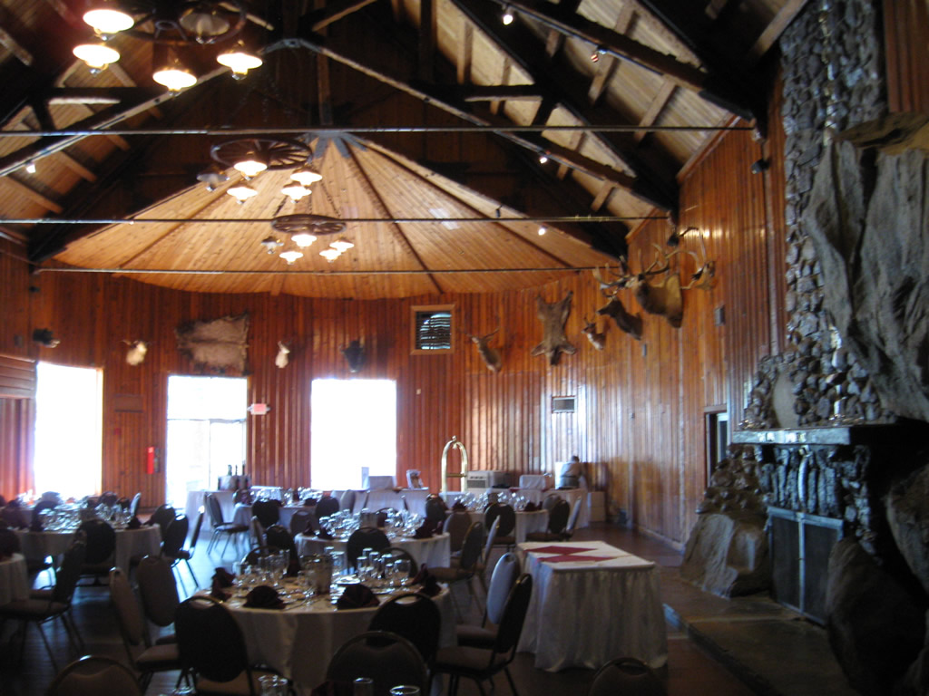
Ordinarily, we would not cover the interior of hotels, motels, or lodges, but in the case of the Cal Neva Lodge and Casino, a unique geographical phenomenon warrants our attention. The state line of California-Nevada passes directly through the dining room and swimming pool of the lodge, while the casino operation is safely a hundred or so feet west of the state line.
07/21/09
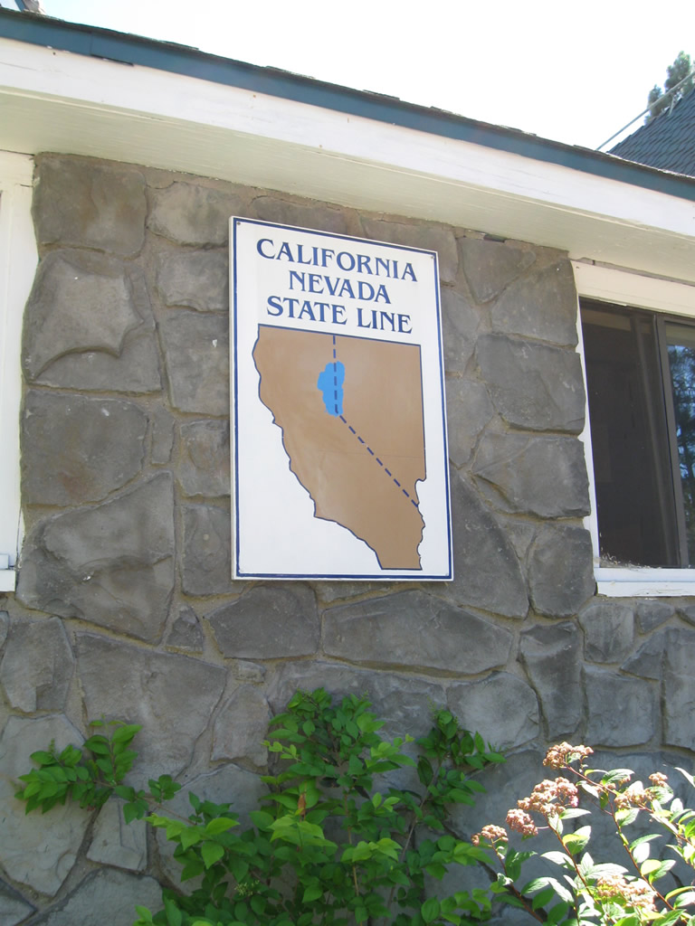
A sign depicts the location of the state line of California-Nevada as it passes through the lodge. This sign is found to the right of the main entrance.
07/21/09
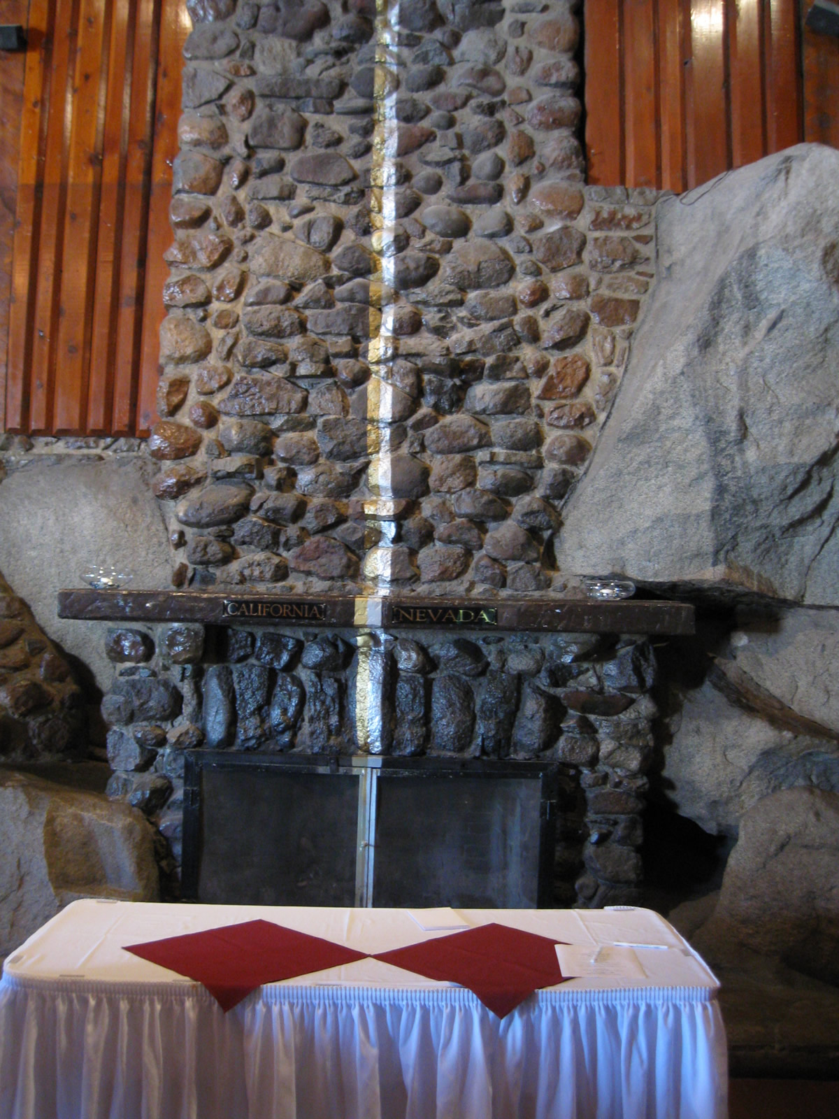
The state line of California-Nevada passes directly through the Indian Room, a large dining room/conference center on the west side of the Cal-Neva Lodge. A gold stripe represents the California side of the state line, while a silver stripe denotes the Nevada side. The state line runs right through the chimney.
07/21/09
This view looks west from Nevada into California within the Indian Room of the Cal-Neva Lodge.
07/21/09
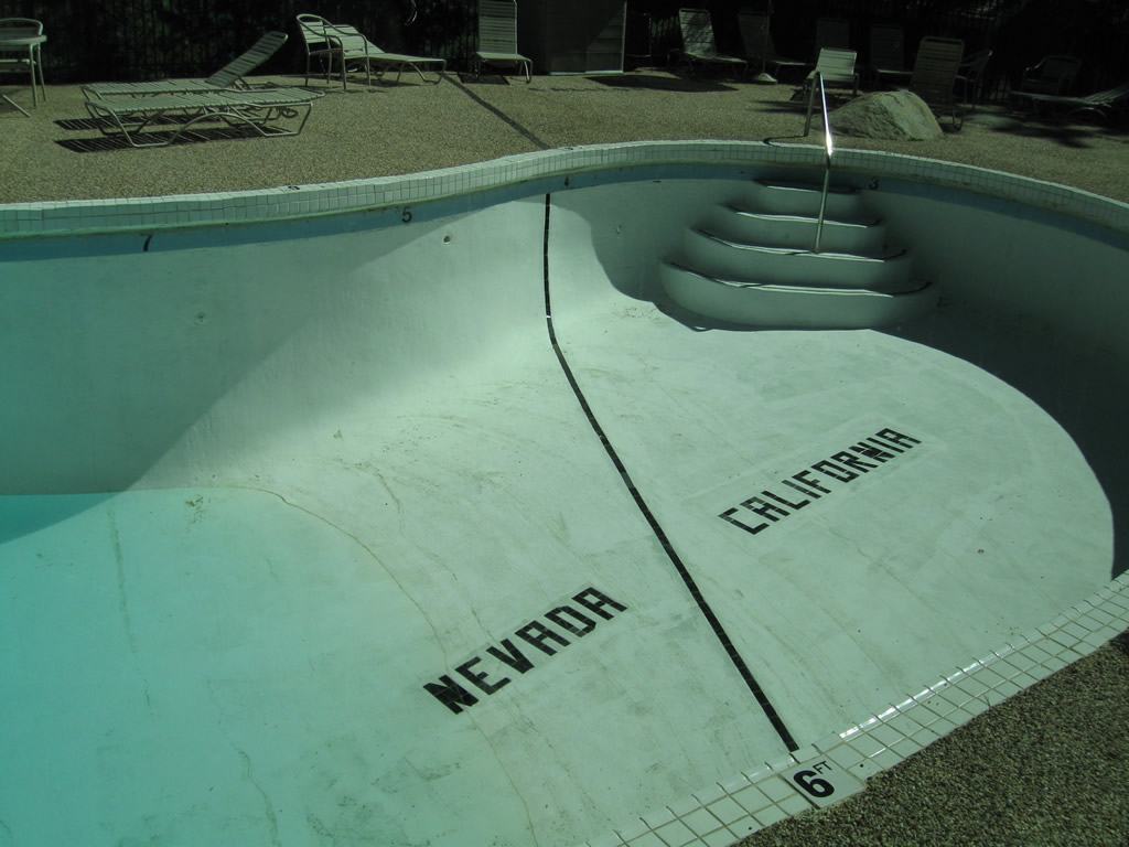
Outside, it is possible to swim in the Cal-Neva Lodge swimming pool from one state to the other. The state line of California-Nevada is marked on the bottom of the pool!
07/21/09
Photo Credits:
- Andy Field: 07/08/07, 07/21/09
Connect with:
Page Updated Monday October 12, 2009.