
State Route 595 - Rainbow Boulevard
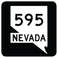
State Route 595 lines Rainbow Boulevard for 5.66 miles from Tropicana Avenue in Spring Valley north to Washington Avenue in Las Vegas. Rainbow Boulevard constitutes a six lane, divided arterial. The northern end of SR 595 ties into a single point interchange with I-11/U.S. 95 adjacent to the east end of SR 613 (Summerlin Parkway).
SR 595 was 5.495 miles in length per the 2017 State Maintained Highways of Nevada Descriptions and Maps. The short extension added Rainbow Boulevard from the SPUI with U.S. 95 north to Washington Avenue.

CC-215 trailblazer posted along Rainbow Boulevard north of SR 160 (Blue Diamond Road).
07/21/17

Rainbow Boulevard intersects Wigwam Avenue by the Coronado Ranch development west of Cougar Creek park.
07/21/17

Windmill Lane crosses Rainbow Boulevard adjacent to Southwest Marketplace shopping center.
07/21/17

07/21/17
07/15/18
10/21/25
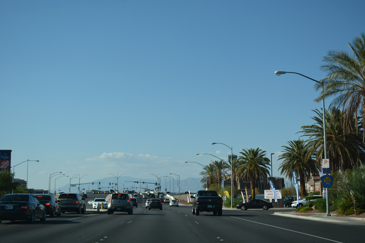
Rainbow Boulevard meets CC-215 (Bruce Woodbury Beltway) north of Maule Avenue and The Arroyo Market Square retail plaza.
07/21/17

The ramps at the diamond interchange (Exit 15) joining CC-215 with Rainbow Boulevard tie into Roy Horn Way eastbound and Rafael Rivera Way westbound, the frontage road system for the Bruce Woodbury Beltway.
07/21/17

CC-215 (Bruce Woodbury Beltway) runs west from I-15/215 between Enterprise and Spring Valley before turning north to Summerlin in Las Vegas.
07/21/17
 Rainbow Boulevard - North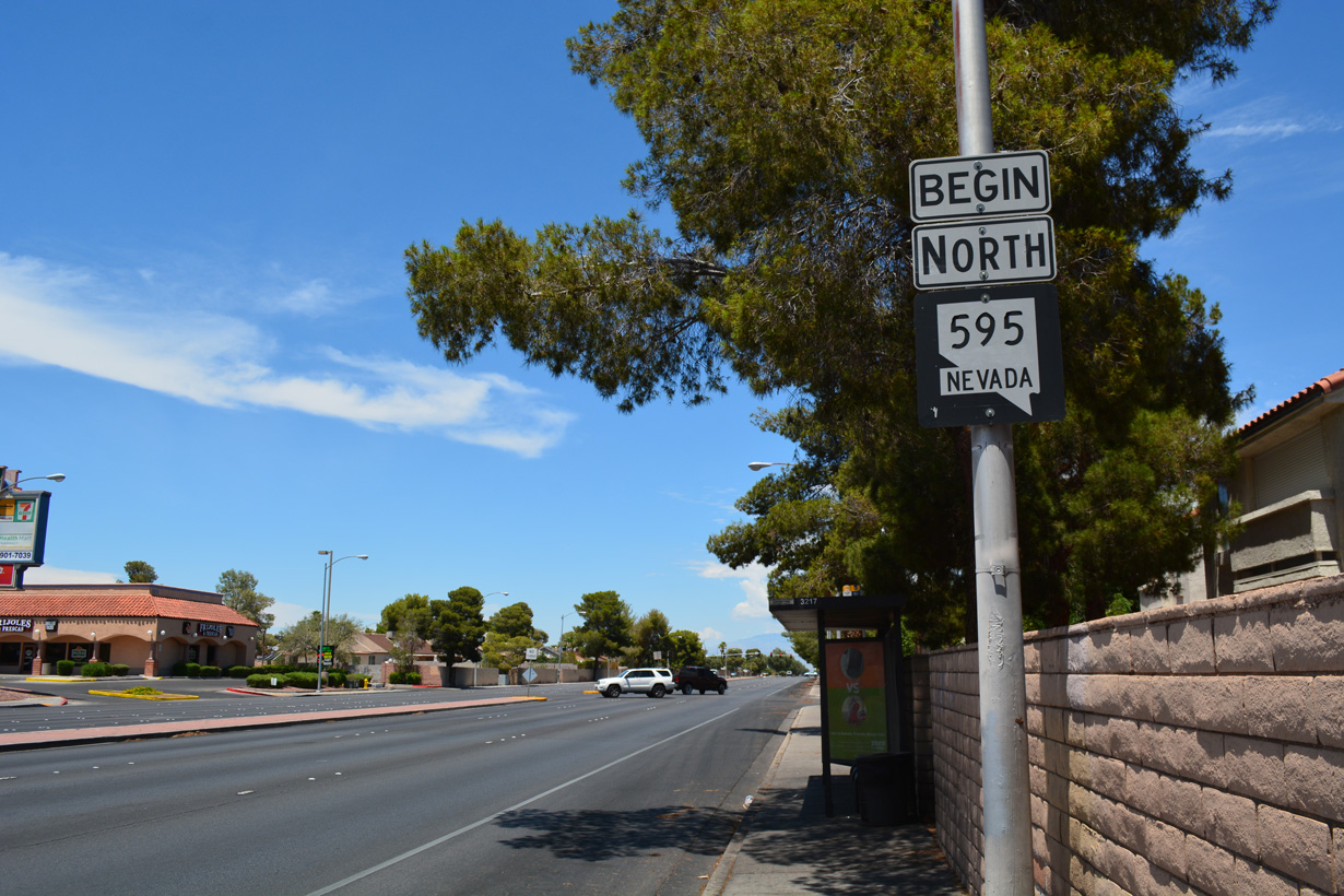
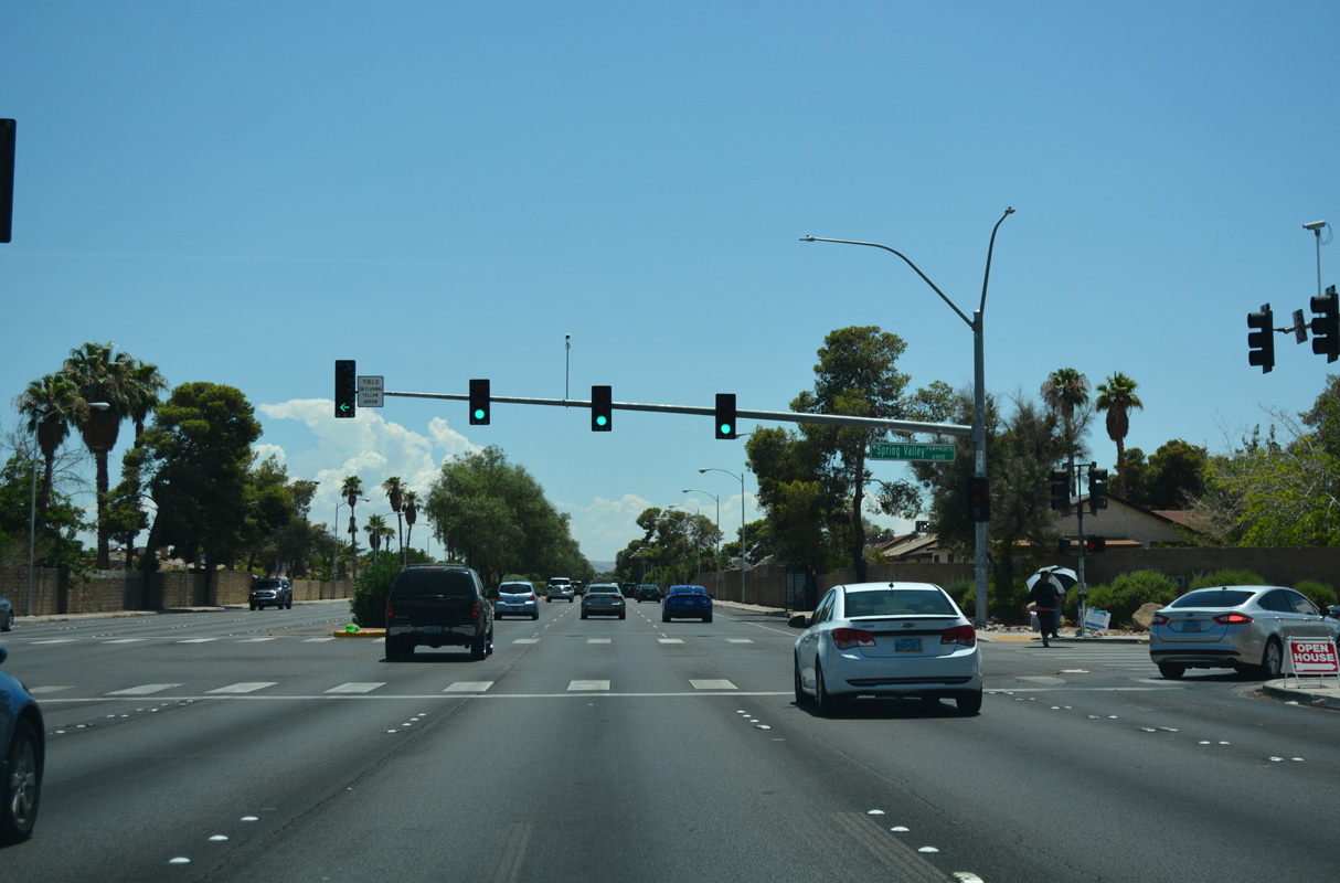
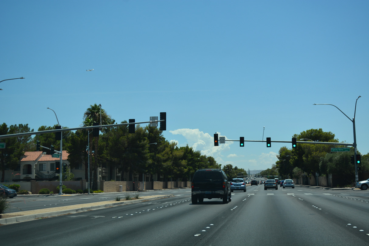
Rainbow Boulevard becomes part of SR 595 north from Tropicana Avenue.
07/15/18
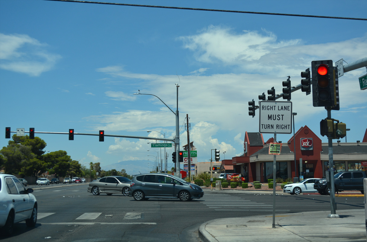
The west end of SR 592 is unmarked along SR 595 (Rainbow Boulevard) north at Flamingo Road.
07/15/18

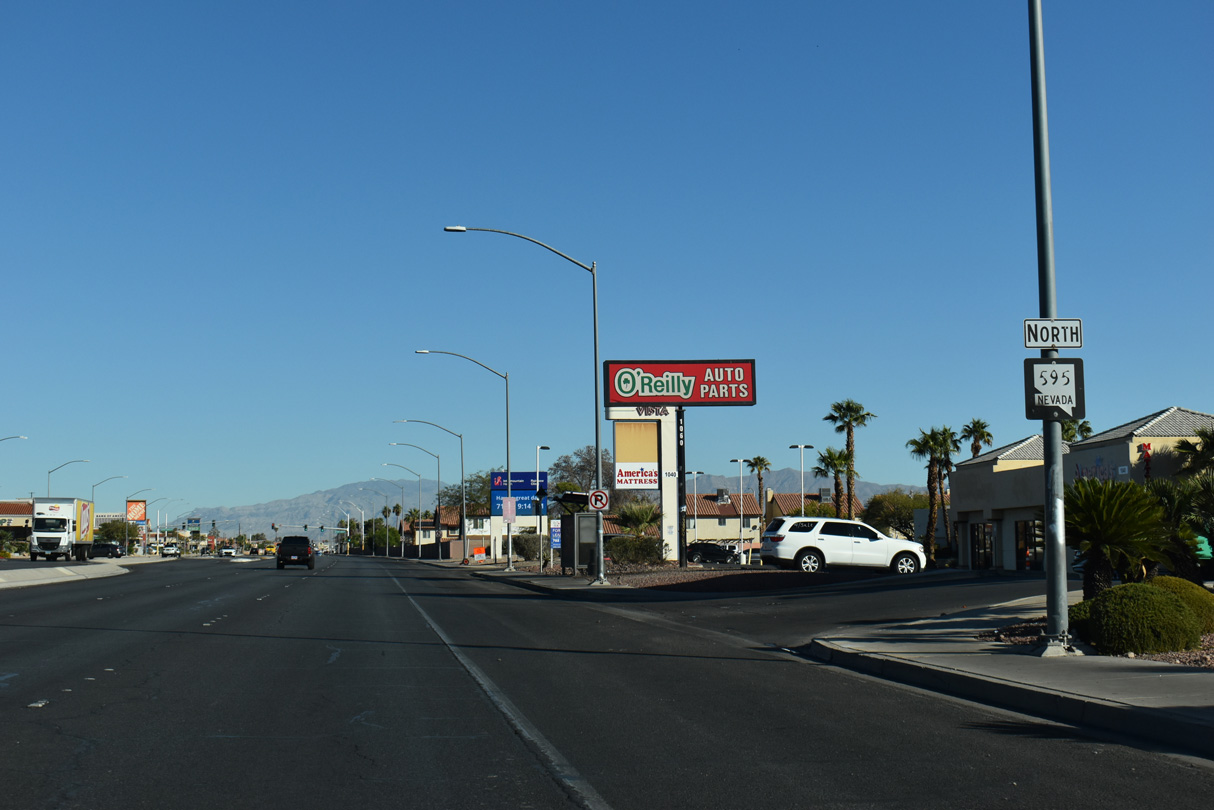
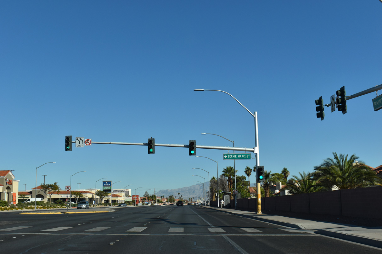
An end shield for SR 595 appears along Rainbow Boulevard northbound between Silversteam Avenue east and Washington Avenue.
10/21/25
Rainbow Boulevard - South
SR 595 commences south along Rainbow Boulevard from Washington Avenue ahead of I-11/U.S. 95 at Silverstream Avenue.
10/21/25

A begin shield for SR 595 precedes the signalized intersection with Silverstream Avenue east.
10/21/25

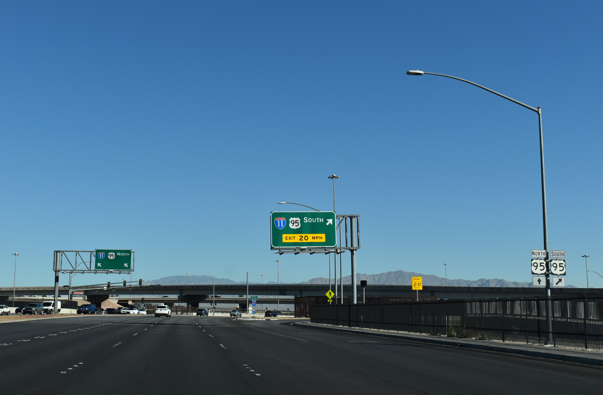
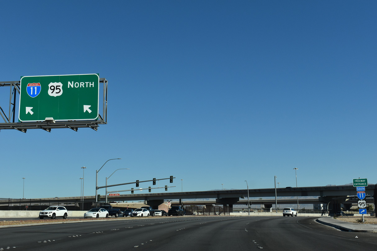
A single point urban interchange (SPUI) connects SR 595 (Rainbow Boulevard) with I-11/U.S. 95.
10/21/25
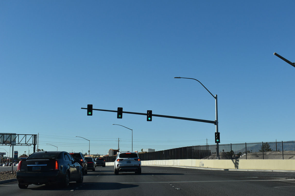
The SPUI with I-11/U.S. 95 overlays the directional T interchange joining I-11/U.S. 95 with SR 613 (Summerlin Parkway).
10/21/25

Sahara Avenue was formerly SR 589 east from SR 595 to SR 612 (Nellis Boulevard).
10/21/25
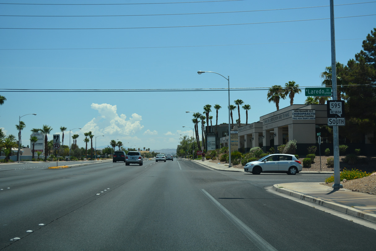
SR 595 reassurance marker posted along Rainbow Boulevard south of Sahara Avenue at Laredo Street.
10/21/25
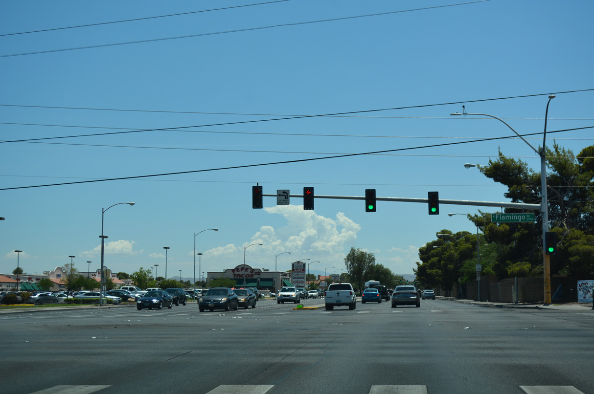
Flamingo Road east from SR 595 (Rainbow Boulevard) to Interstate 15 is SR 592.
07/15/18
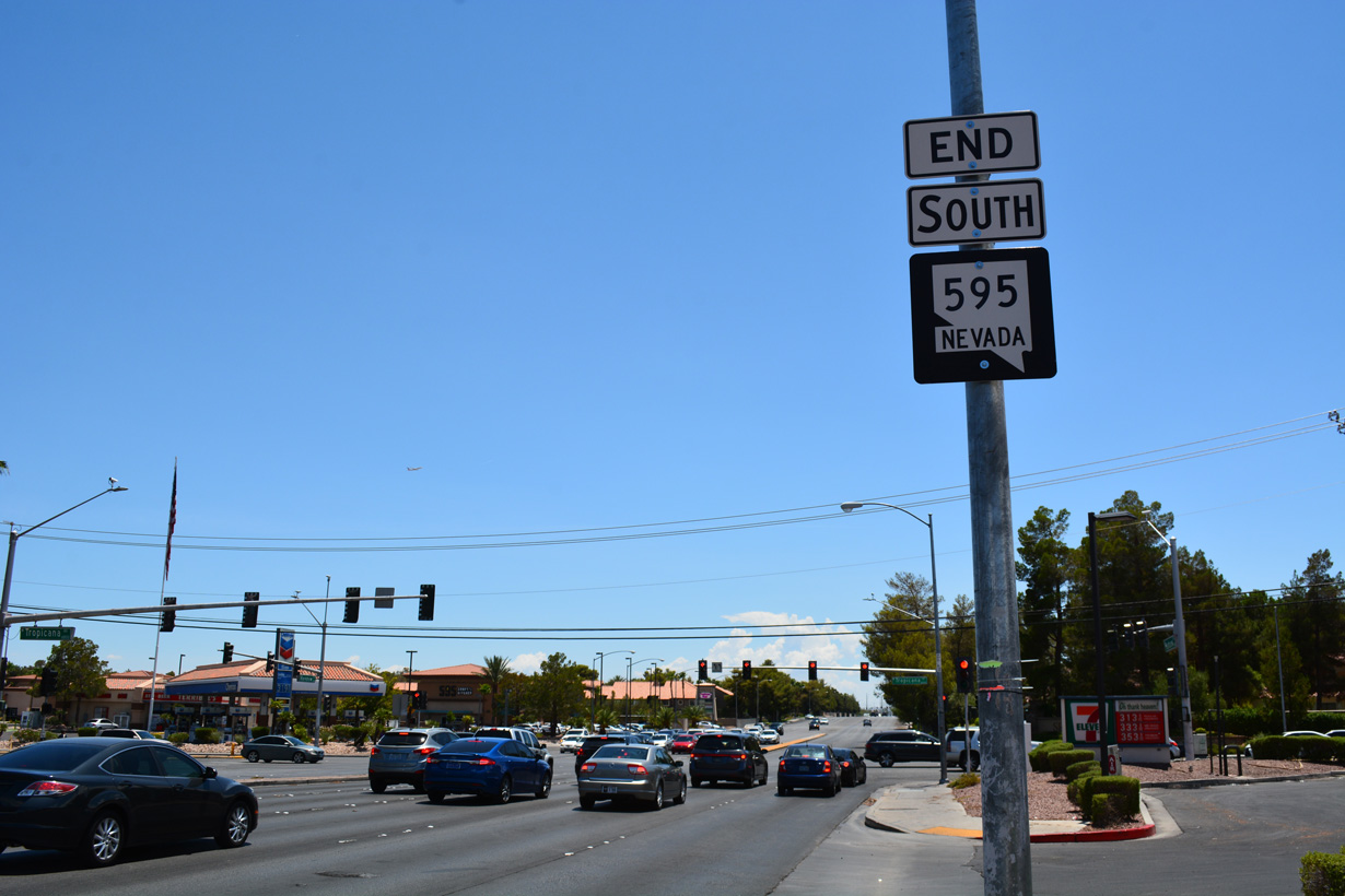
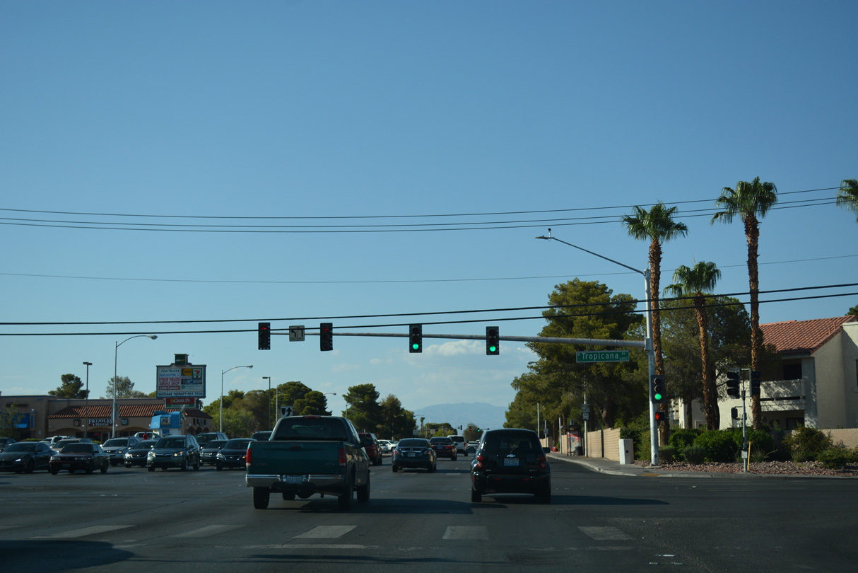
An end shield for SR 595 appears where Rainbow Boulevard south intersects Tropicana Avenue. Tropicana Avenue east is part of SR 593 between I-15 and the Las Vegas Strip.
07/15/18
Photo Credits:
- Brent Ivy: 07/21/17
- ABRoads: 07/15/18, 10/21/25
Connect with:











Page Updated Wednesday October 29, 2025.