
State Route 589 - Sahara Avenue
Sahara Avenue constitutes a major arterial across Las Vegas, Spring Valley, Winchester and Sunrise Manor. East of Interstate 15 to SR 582 (Fremont Street), Sahara Avenue serves as the boundary between unincorporated Clark County and the city of Las Vegas on the north.
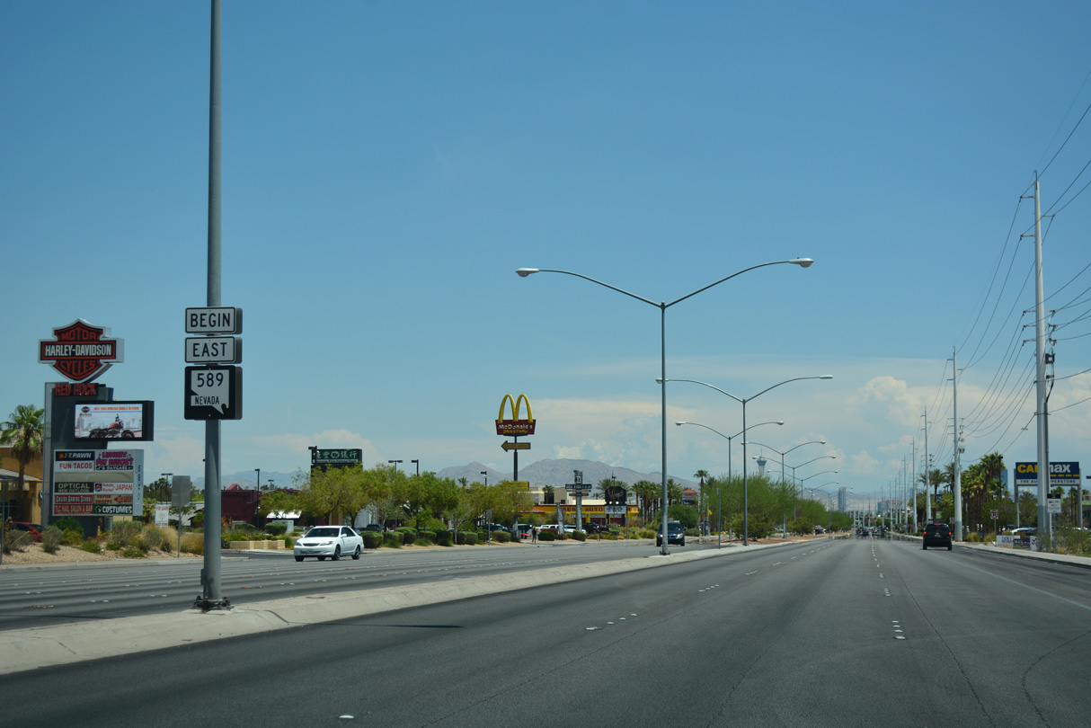
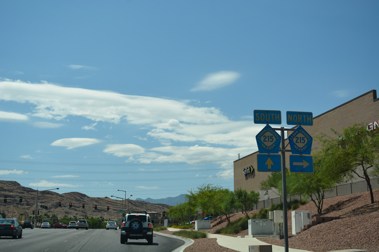
Prior to 2018, when SR 589 was decommissioned entirely, the state route followed 10.02 miles of Sahara Avenue, from SR 595 (Rainbow Boulevard) east to SR 612 (Nellis Boulevard). A 0.471 mile section of Sahara Avenue was readded to the state system between Rancho Drive and Northbridge Lane by 2022.
Old  Sahara Avenue - East
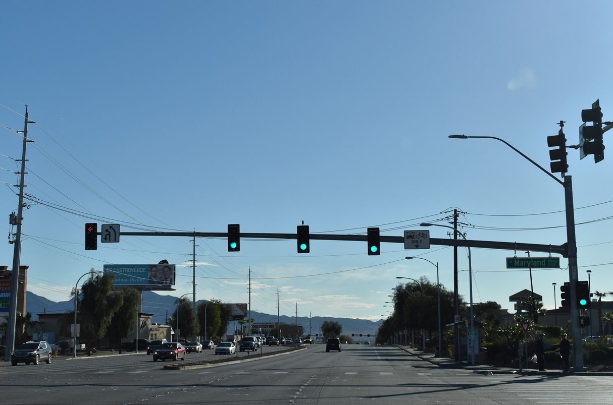
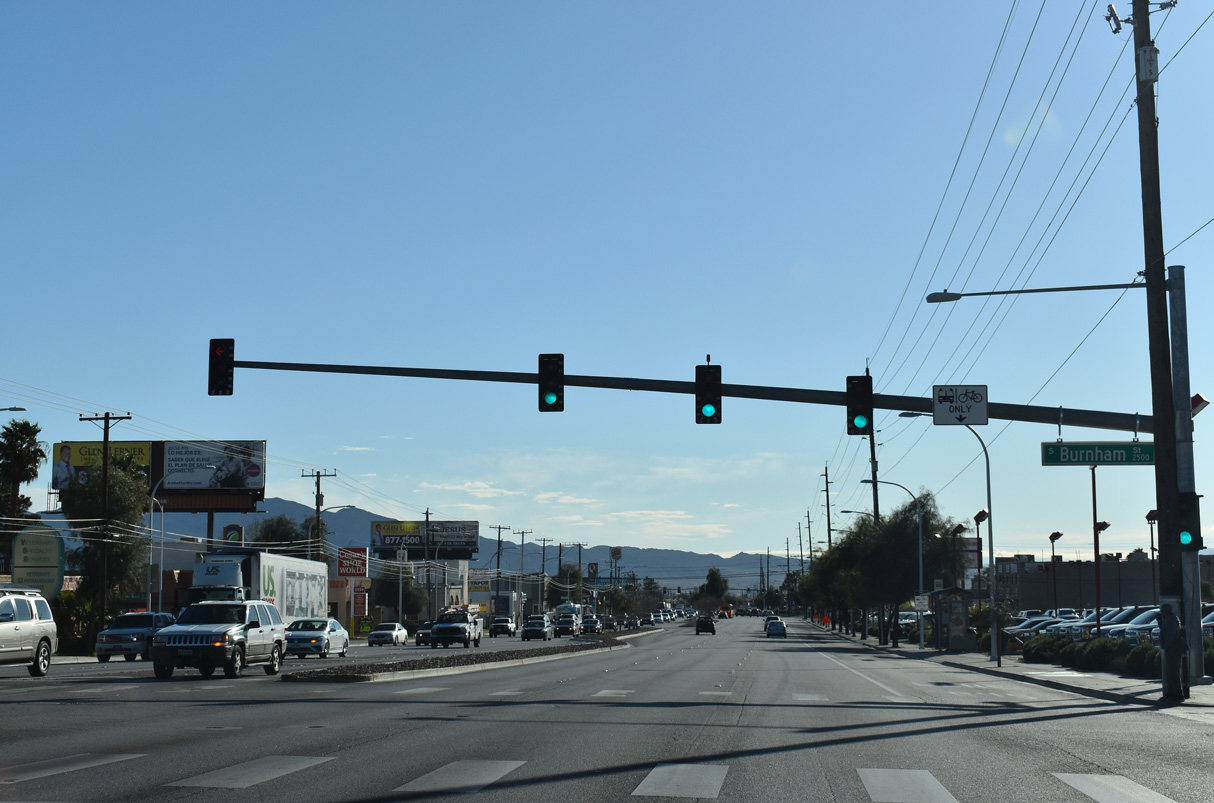
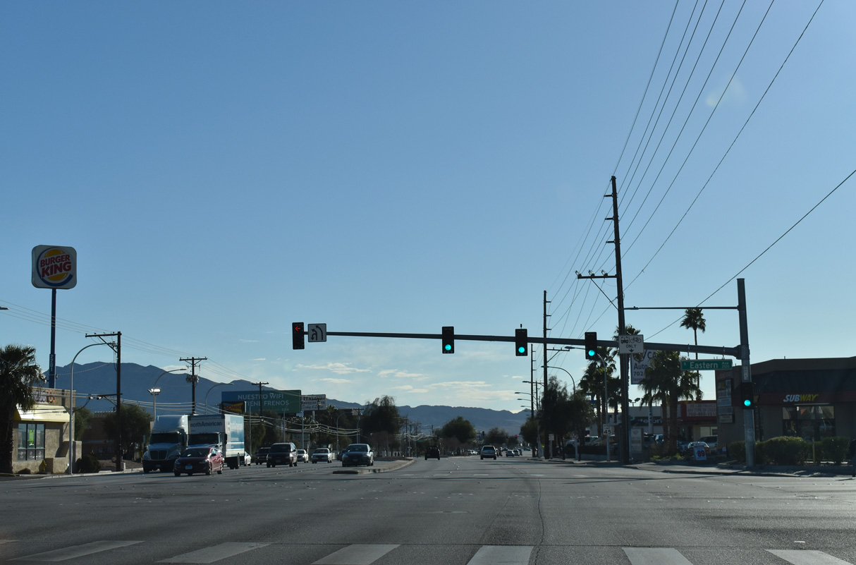
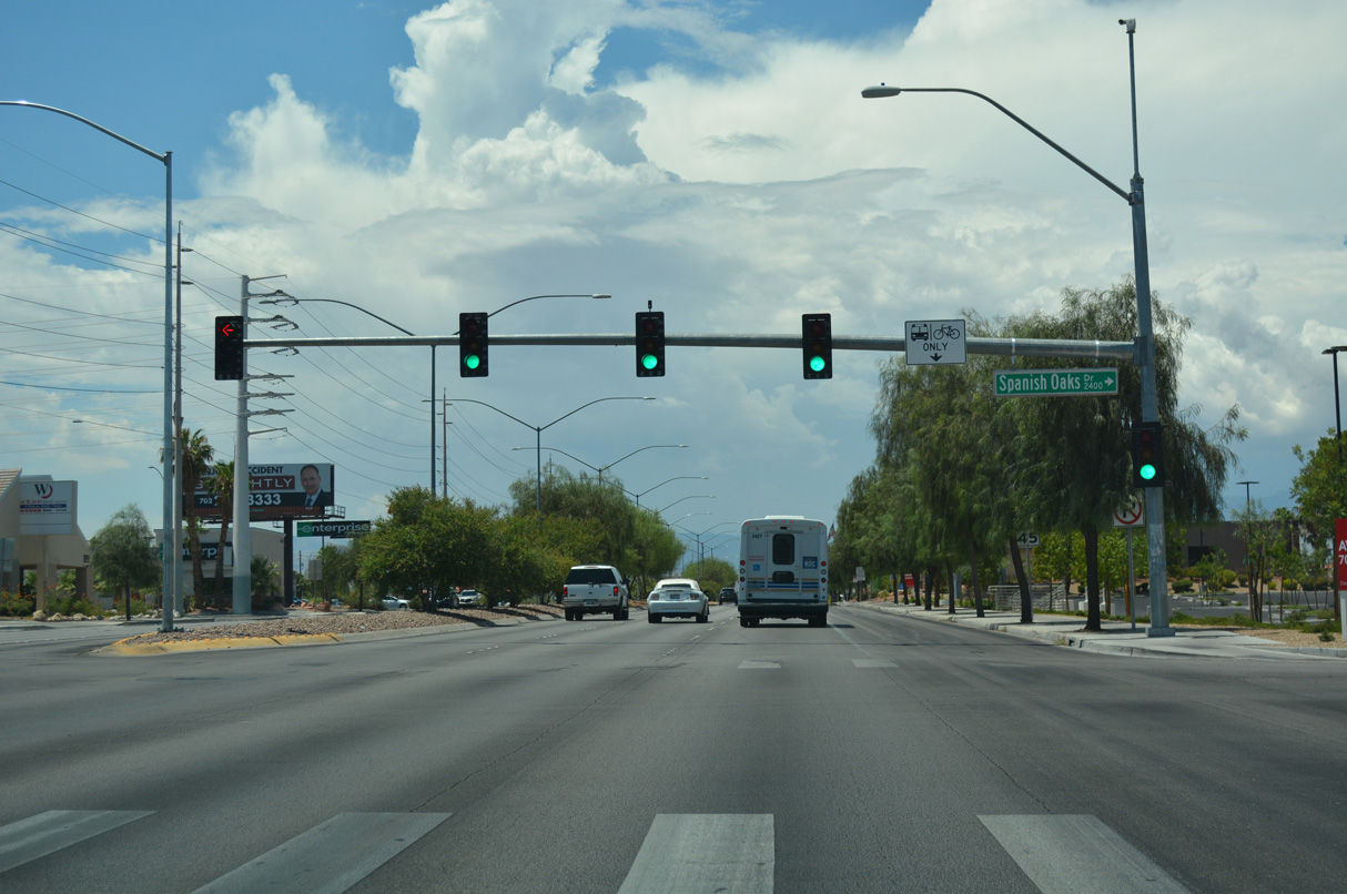
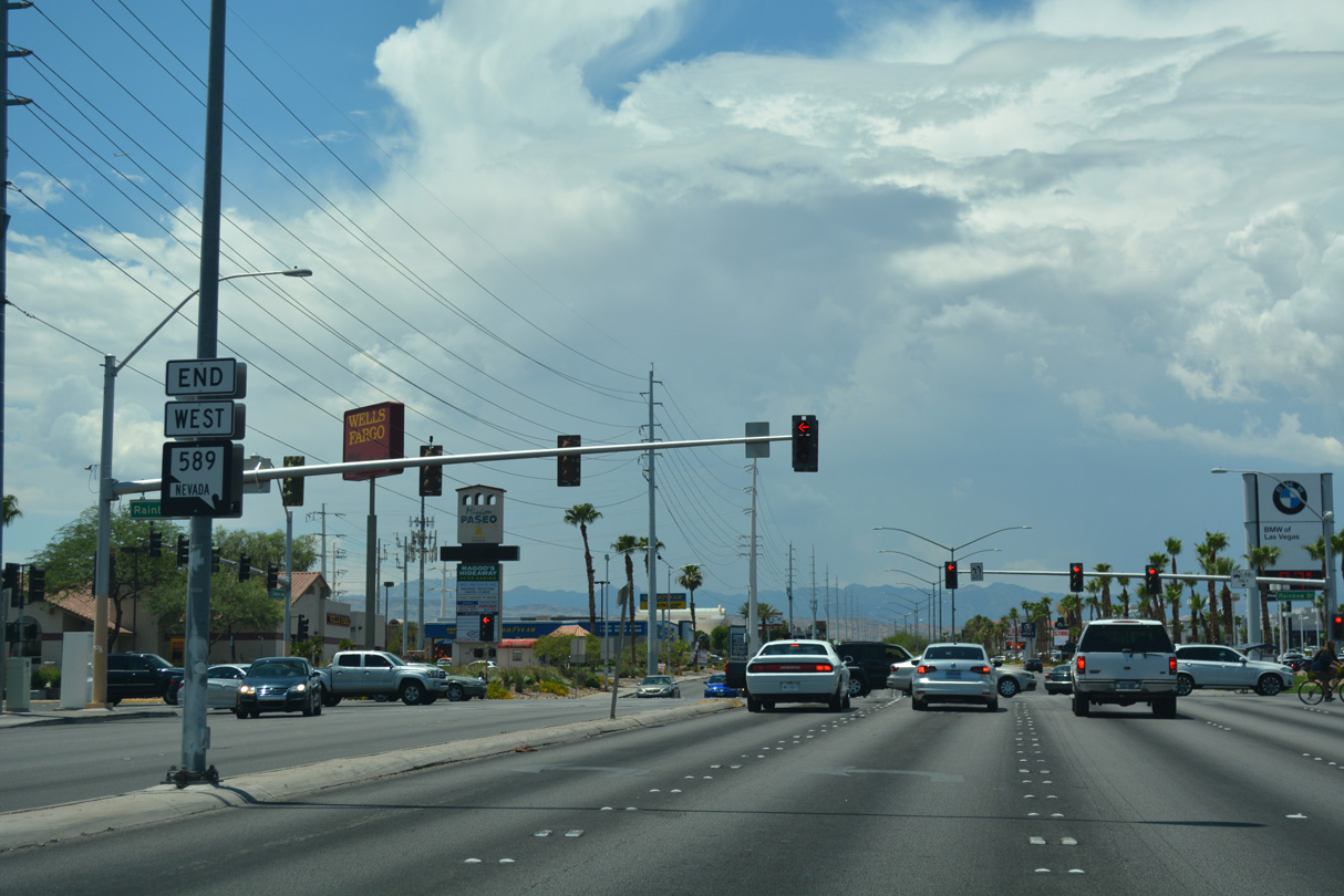
The former eastbound beginning of State Route 589 along Sahara Avenue at SR 595 (Rainbow Boulevard).
07/15/18
07/15/18
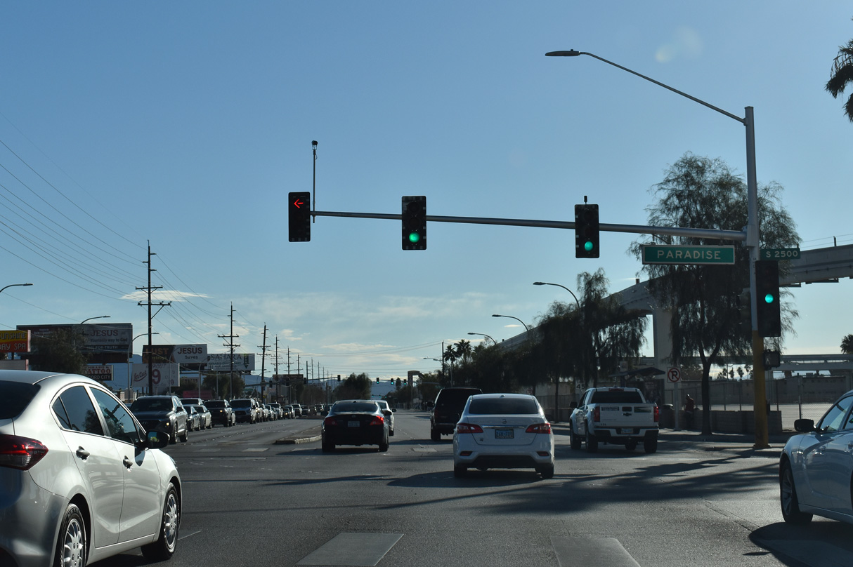
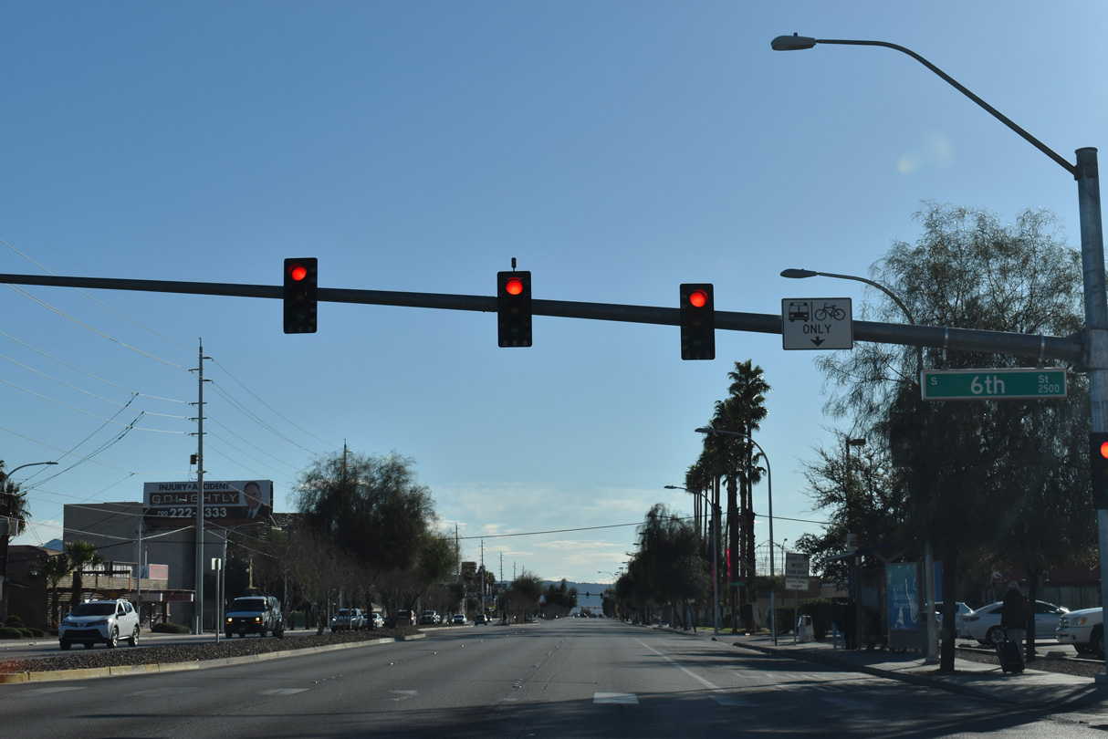
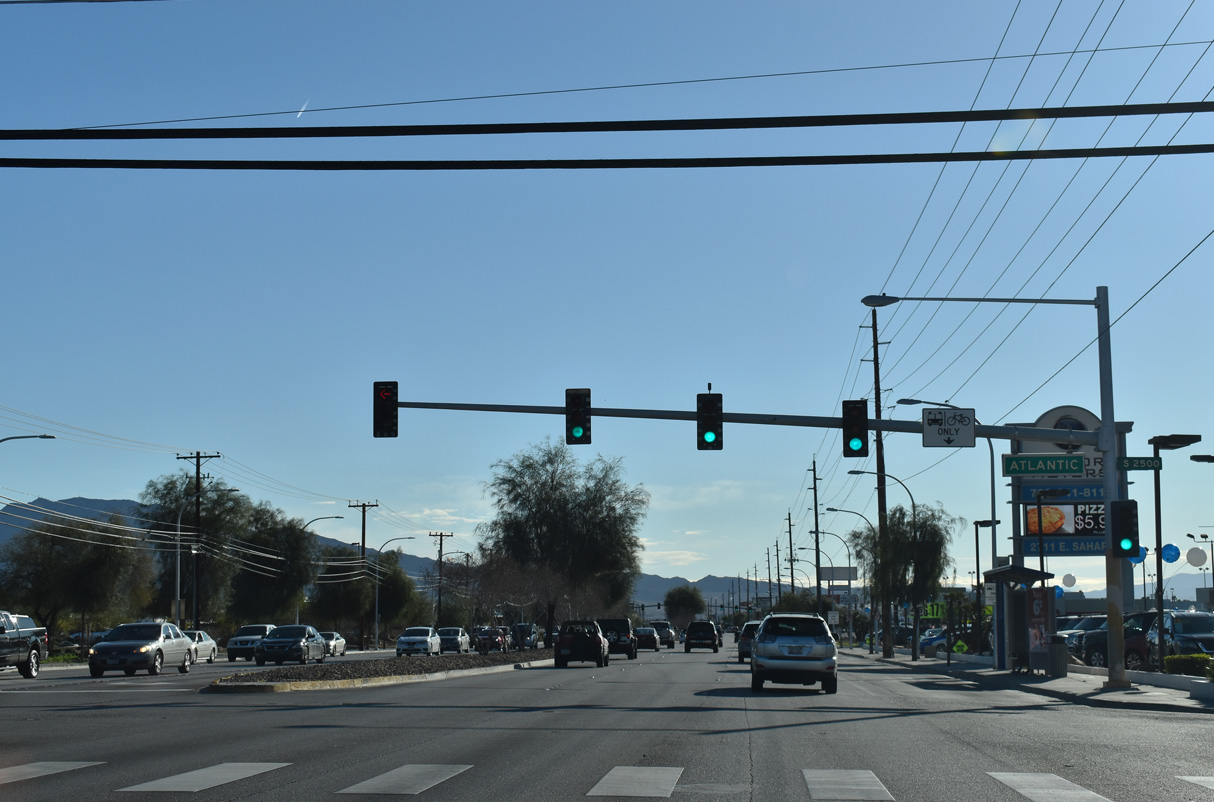
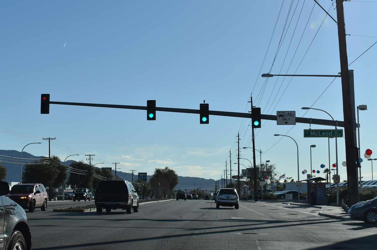
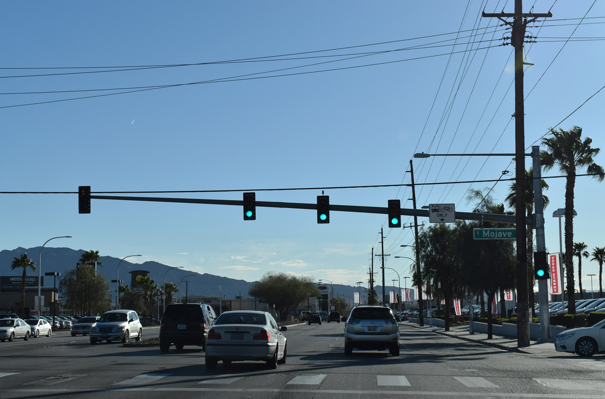
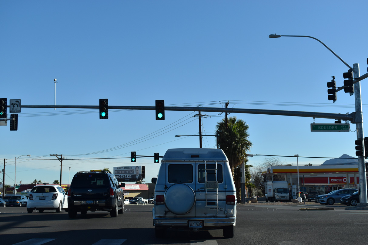
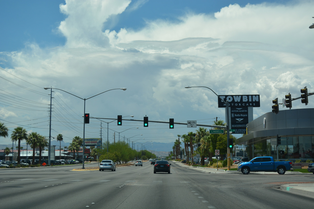
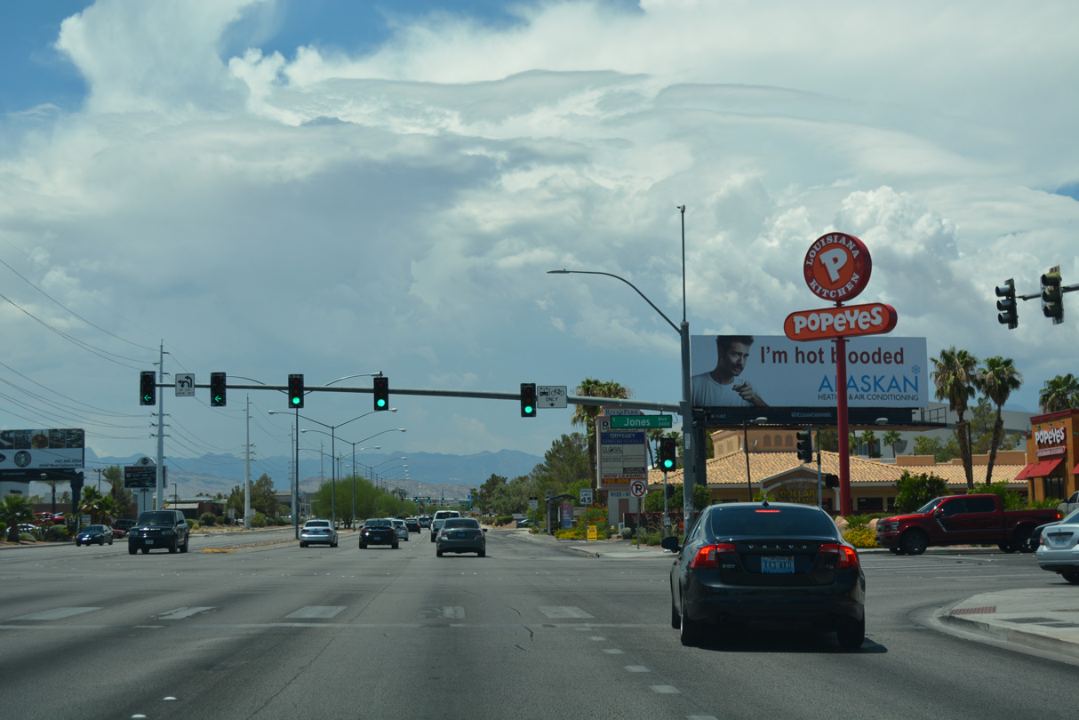
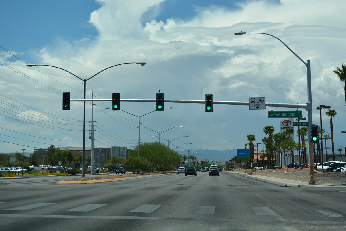
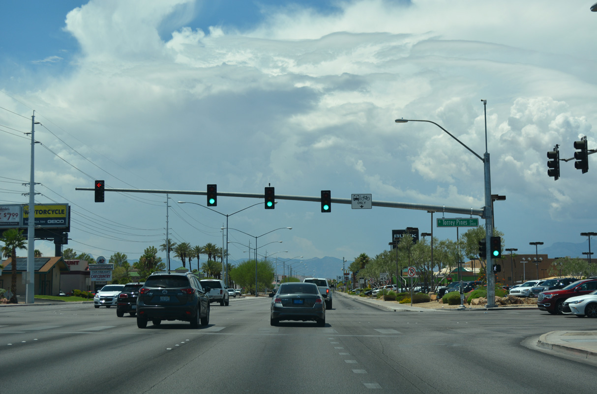
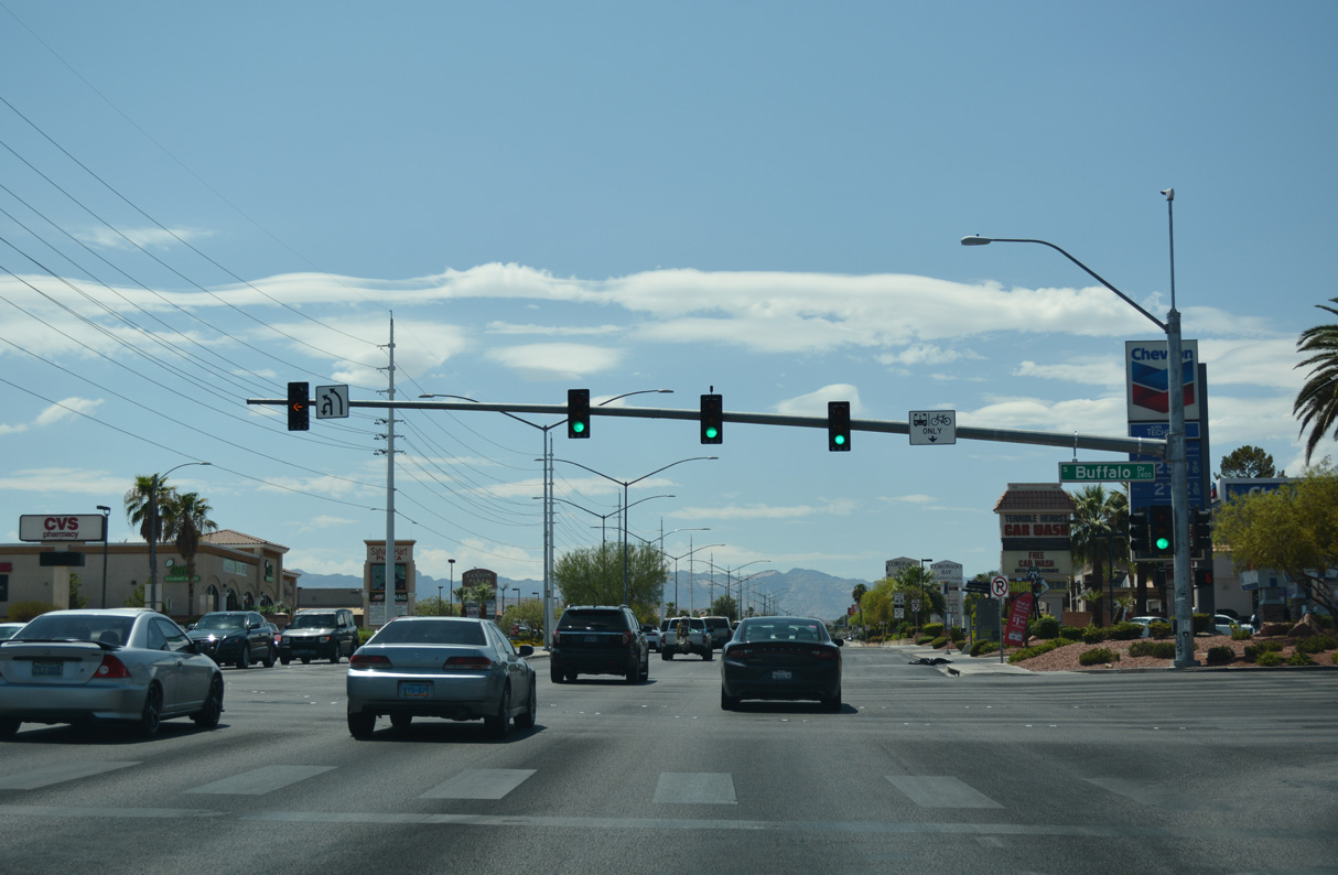
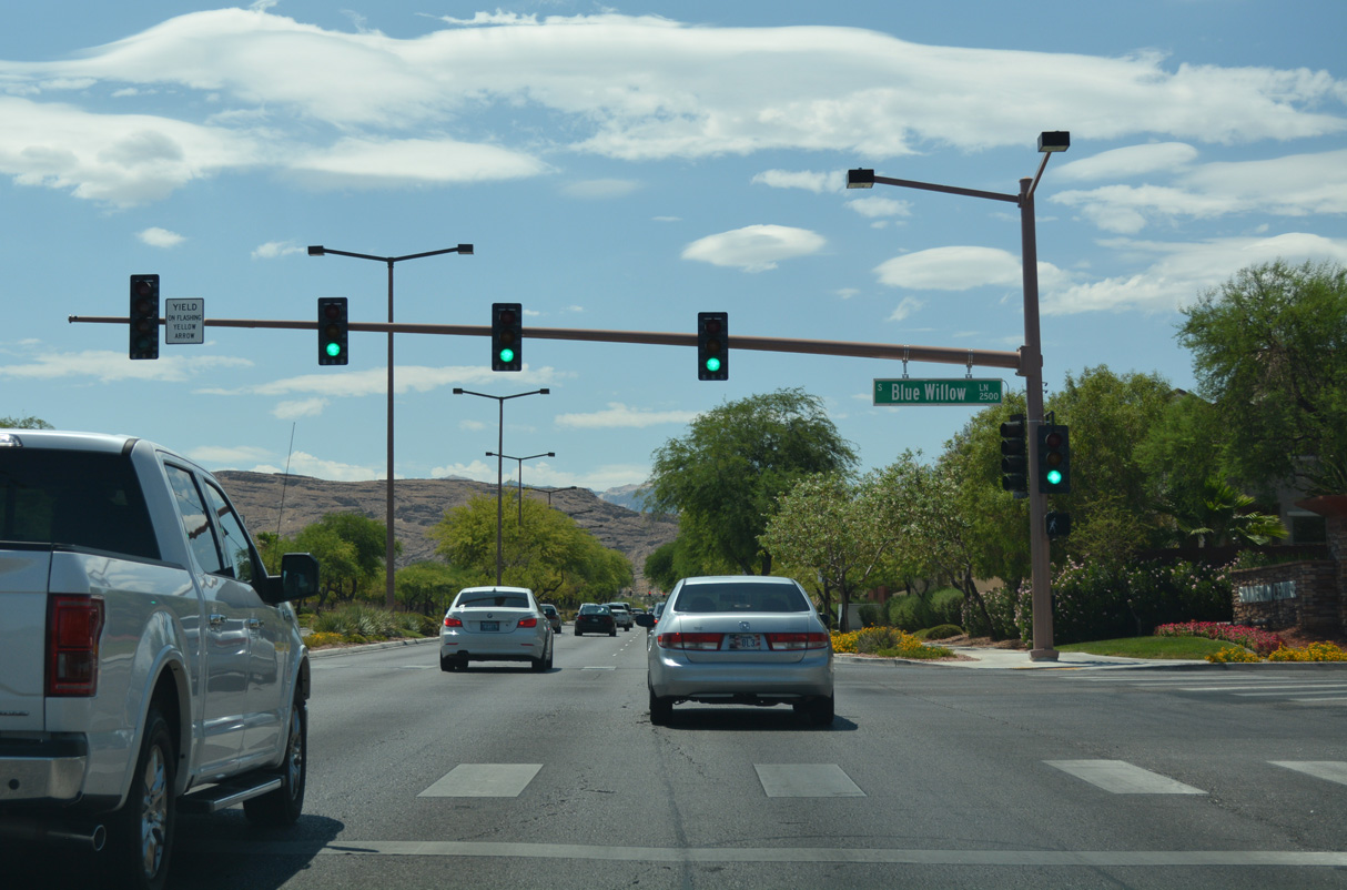
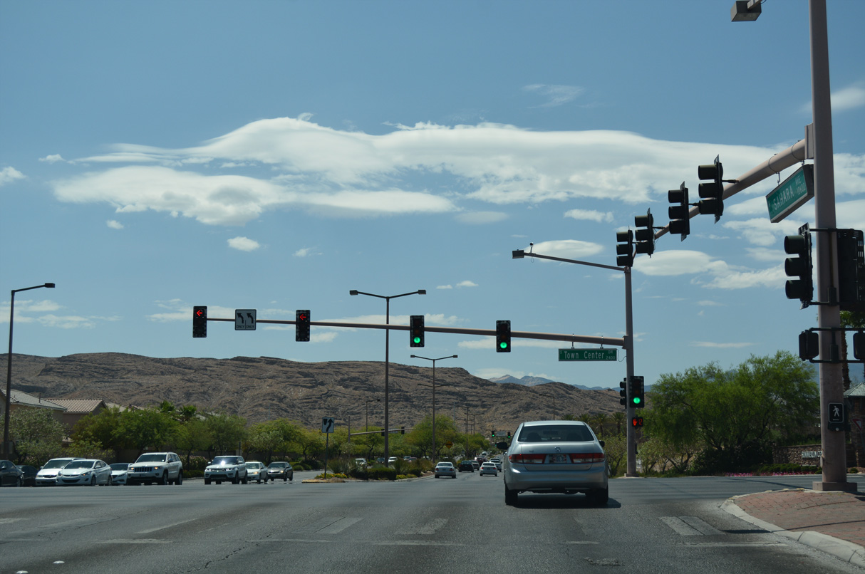
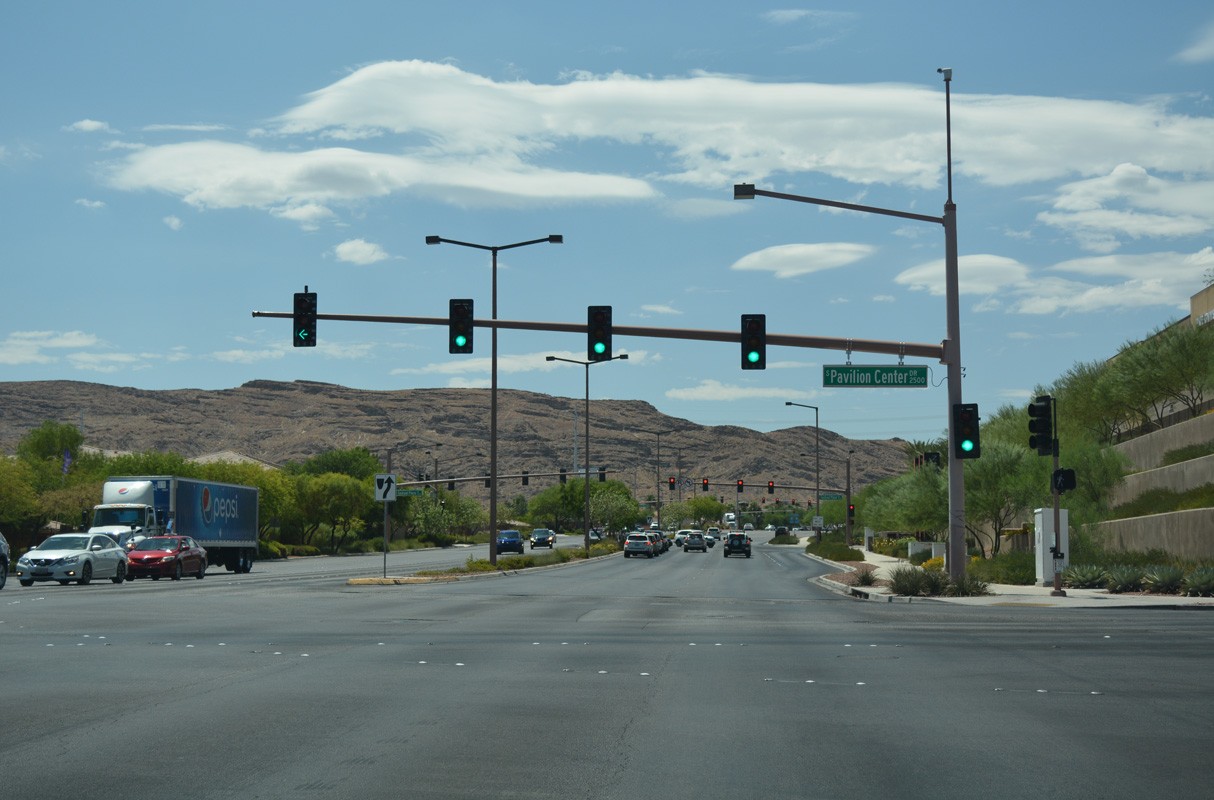
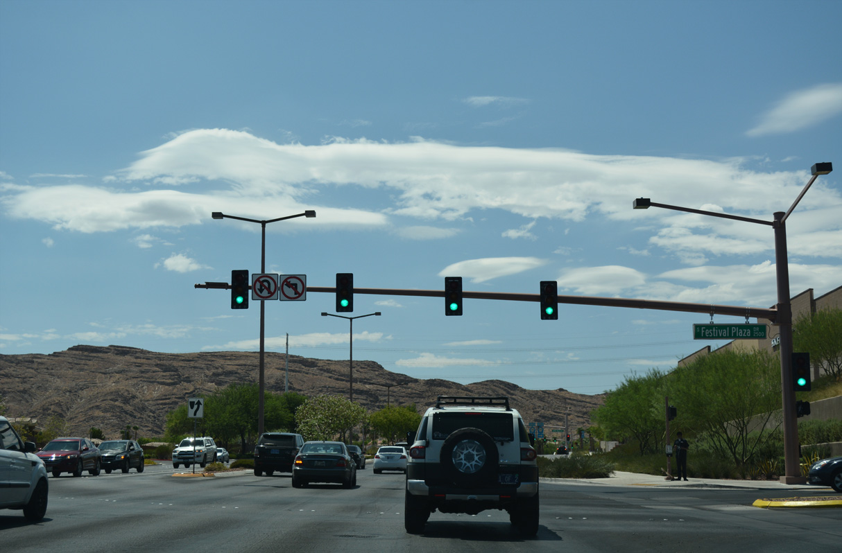
Sahara Avenue east at Paradise Road.
03/07/19
03/07/19
03/07/19
03/07/19
03/07/19
03/07/19
03/07/19
03/07/19
03/07/19
03/07/19
03/07/19
Old Sahara Avenue - West
Leading west from Las Vegas Boulevard (old SR 604), Sahara Avenue continues 0.75 miles to Interstate 15.
07/15/18
07/15/18
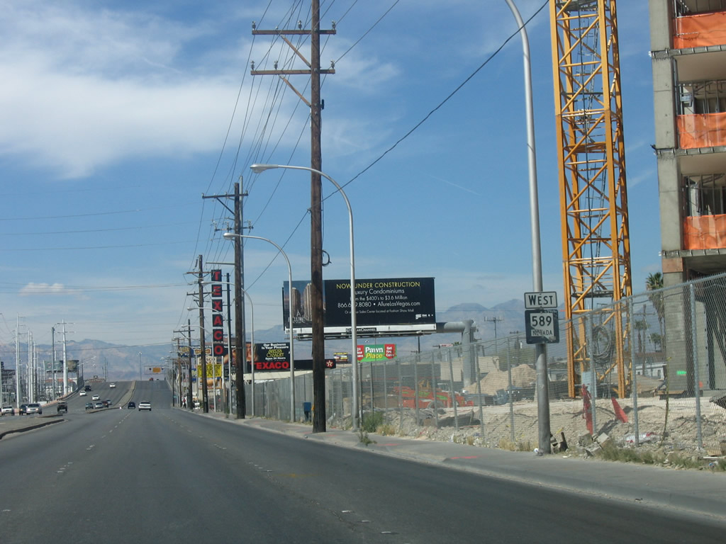
Construction of a turn bay for the Allure Las Vegas condominium high rise in 2007 resulted in the removal of what was a rare reassurance marker for SR 589 west.
04/02/06
04/02/06
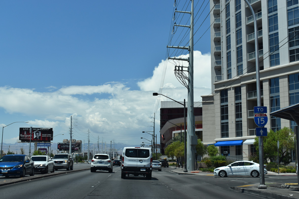
Sahara Avenue elevates onto a viaduct spanning Industrial Avenue, a Union Pacific Railroad line and Western Avenue ahead of I-15.
10/21/25
10/21/25
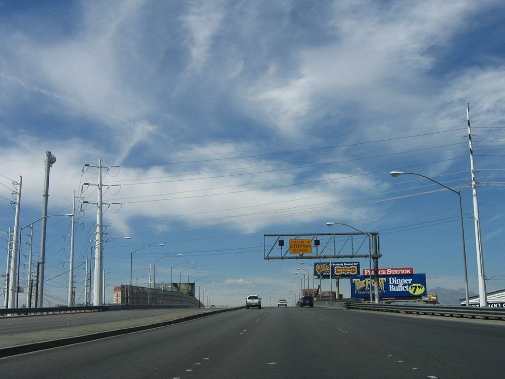
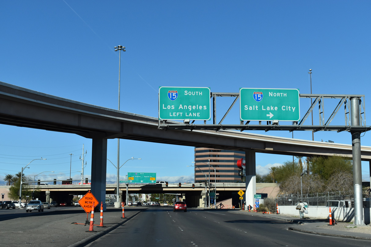
A flyover links I-15 south with Sahara Avenue east back to The Strip as part of the parclo interchange joining SR 589 with the Las Vegas Freeway.
07/22/14
07/22/14
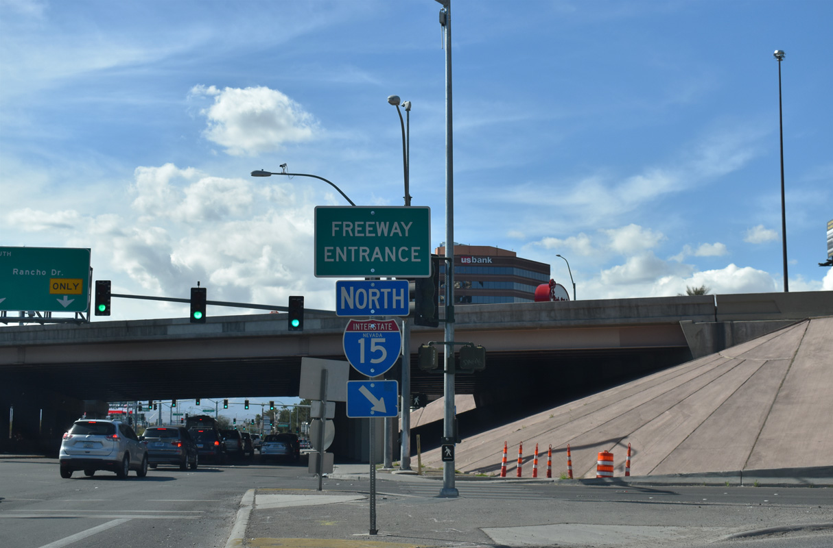
Sahara Avenue west at the entrance ramp to I-15 north for St. George and Salt Lake City, Utah.
10/21/25
10/21/25
10/21/25
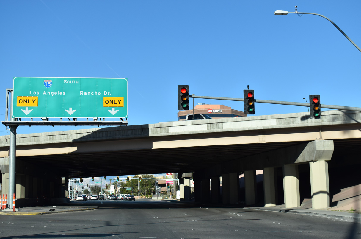
Sahara Avenue advances west below Interstate 15 to Rancho Drive, which connects with the southbound entrance ramp.
10/21/25
10/21/25
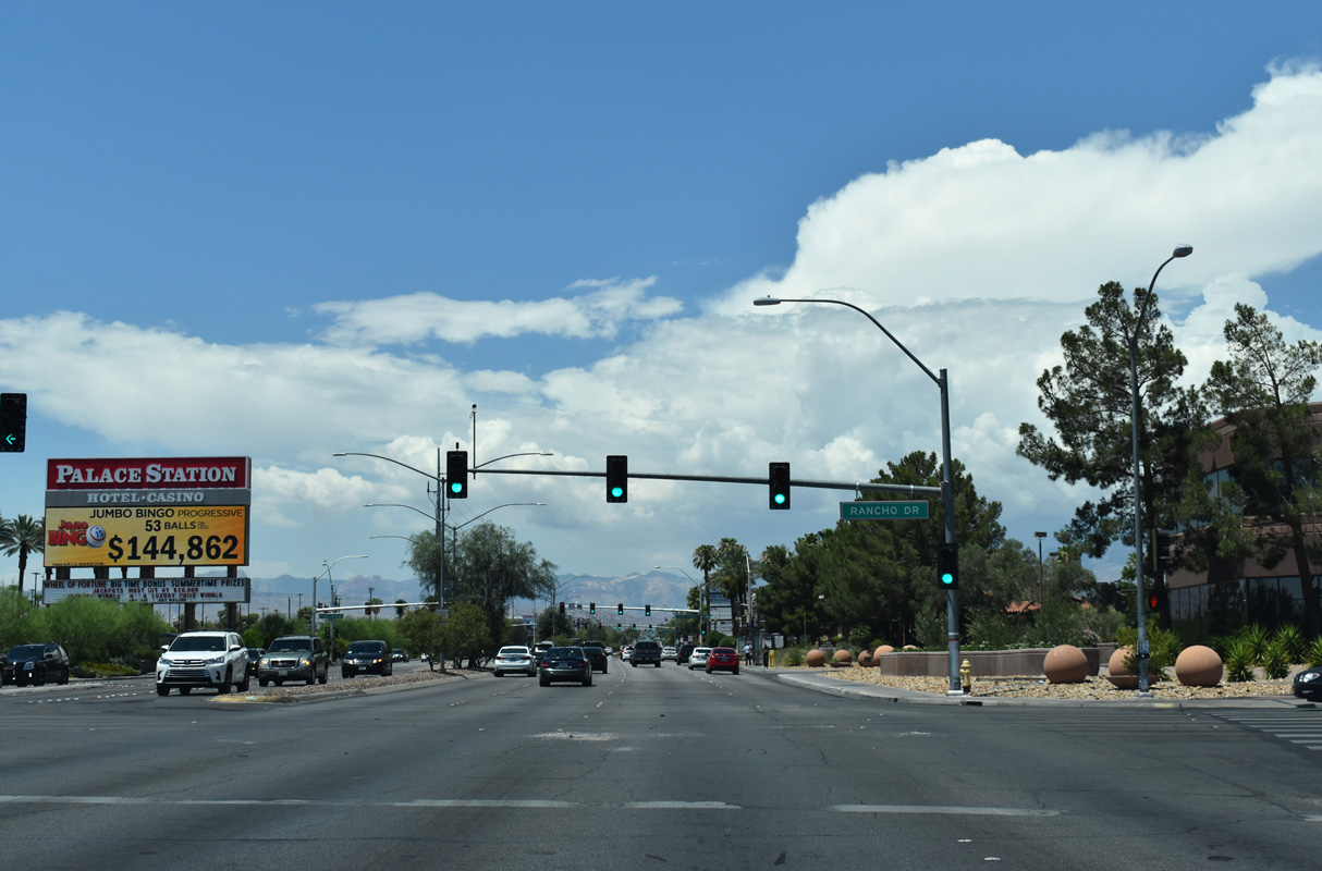
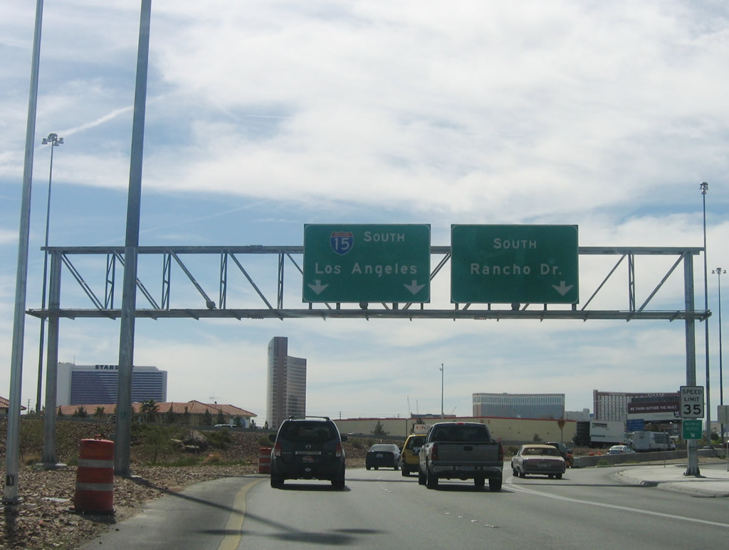
SR 589 (Sahara Avenue) intersects Rancho Drive with three left turn lanes for Interstate 15 south toward Los Angeles.
10/21/25
10/21/25
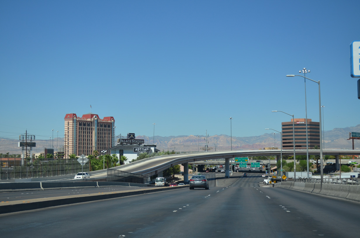
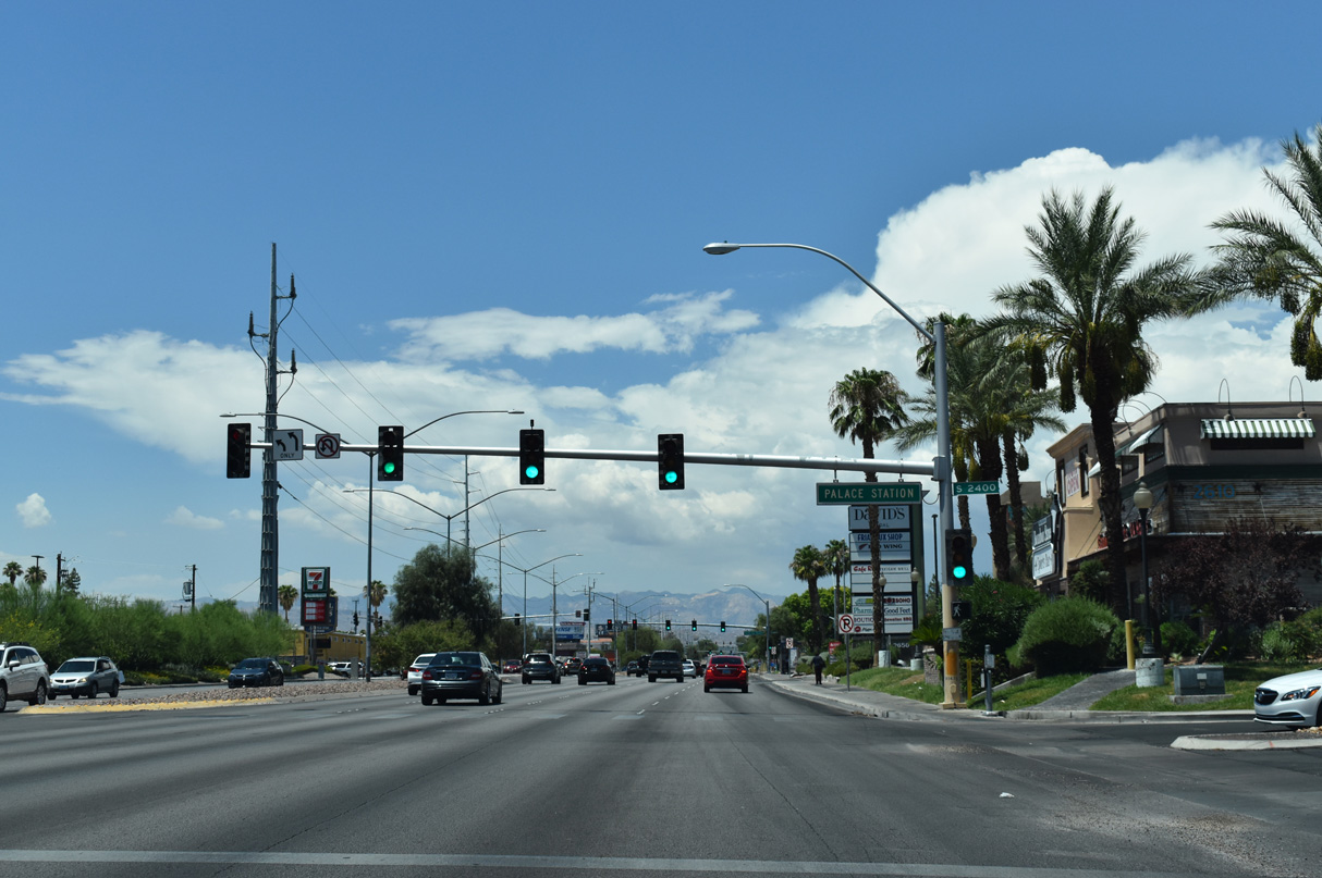
Rancho Drive partitions with the freeway on-ramp for I-15 to Prim and San Bernardino, California. Rancho Drive continues as a service road along the back side of Palace Station Hotel & Casino to Teddy Drive.
03/03/19
03/03/19
10/21/25
10/21/25
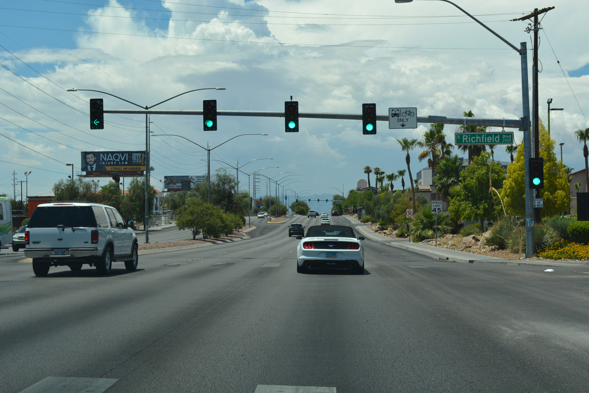
Sahara Avenue west at Richfield Boulevard.
10/21/25
10/21/25
07/15/18
10/21/25
10/21/25
10/21/25
10/21/25
10/21/25
07/15/18
07/15/18
07/15/18

07/22/17
07/22/17

07/22/17

07/22/17
07/22/17

07/22/17

07/22/17

07/22/17
07/22/17
07/22/17
07/22/17
07/22/17
07/22/17
07/22/17

07/22/17

07/22/17
Photo Credits:
- ABRoads: 07/15/18, 10/21/25
- Brent Ivy: 07/22/17, 03/03/19, 03/07/19
- Andy Field: 04/02/06
- Alex Nitzman: 07/22/14
Connect with:
Page Updated Wednesday October 29, 2025.