Summerlin Parkway was constructed by the developer of the master-planned Summerlin community in the west valley to connect it with U.S. 95 (Oran K. Gragson Freeway) east to Downtown Las Vegas. Since it was privately constructed, it was not part of the state highway system. The freeway extends 6.5 miles west from U.S. 95 (Oran K. Gragson Freeway) to Clark County 215 (Bruce Woodbury Beltway).
Summerlin constitutes a 22,500 acre master planned community including homes, offices, industry, and retail. Construction of Summerlin began in 1990 and by 2005, 91,000 residents called it home. Population projections in 2005 for the continued expansion of Summerlin estimated 180,000 residents by 2020.
The Nevada Department of Transportation (NDOT) took over maintenance of Summerlin Parkway in 2019. The freeway was designated State Route 613.

Summerlin Parkway - East
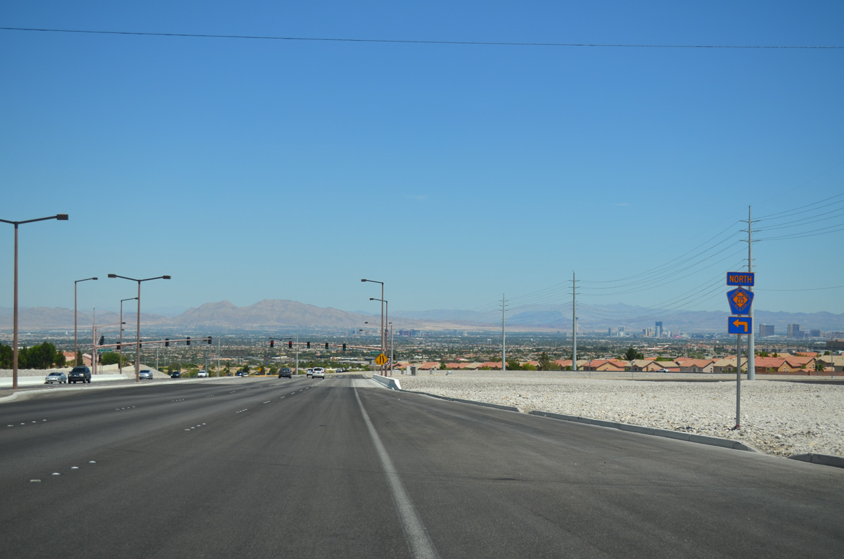
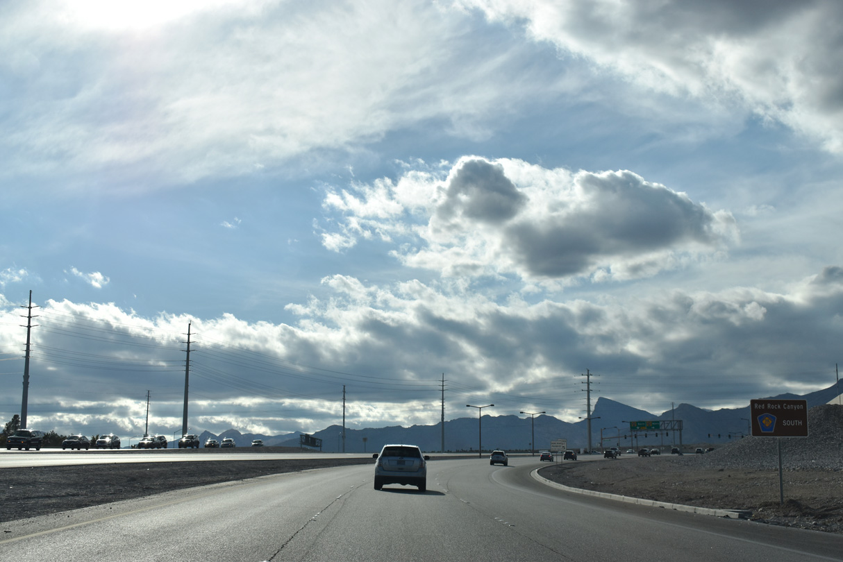
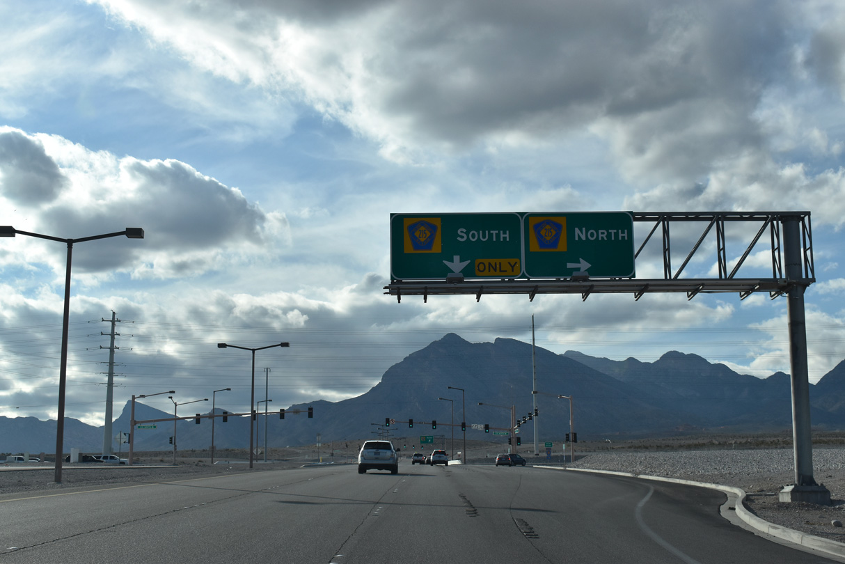
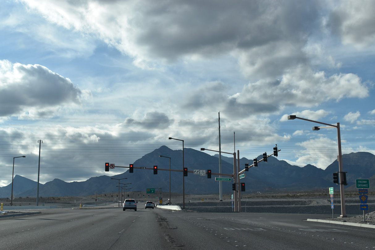
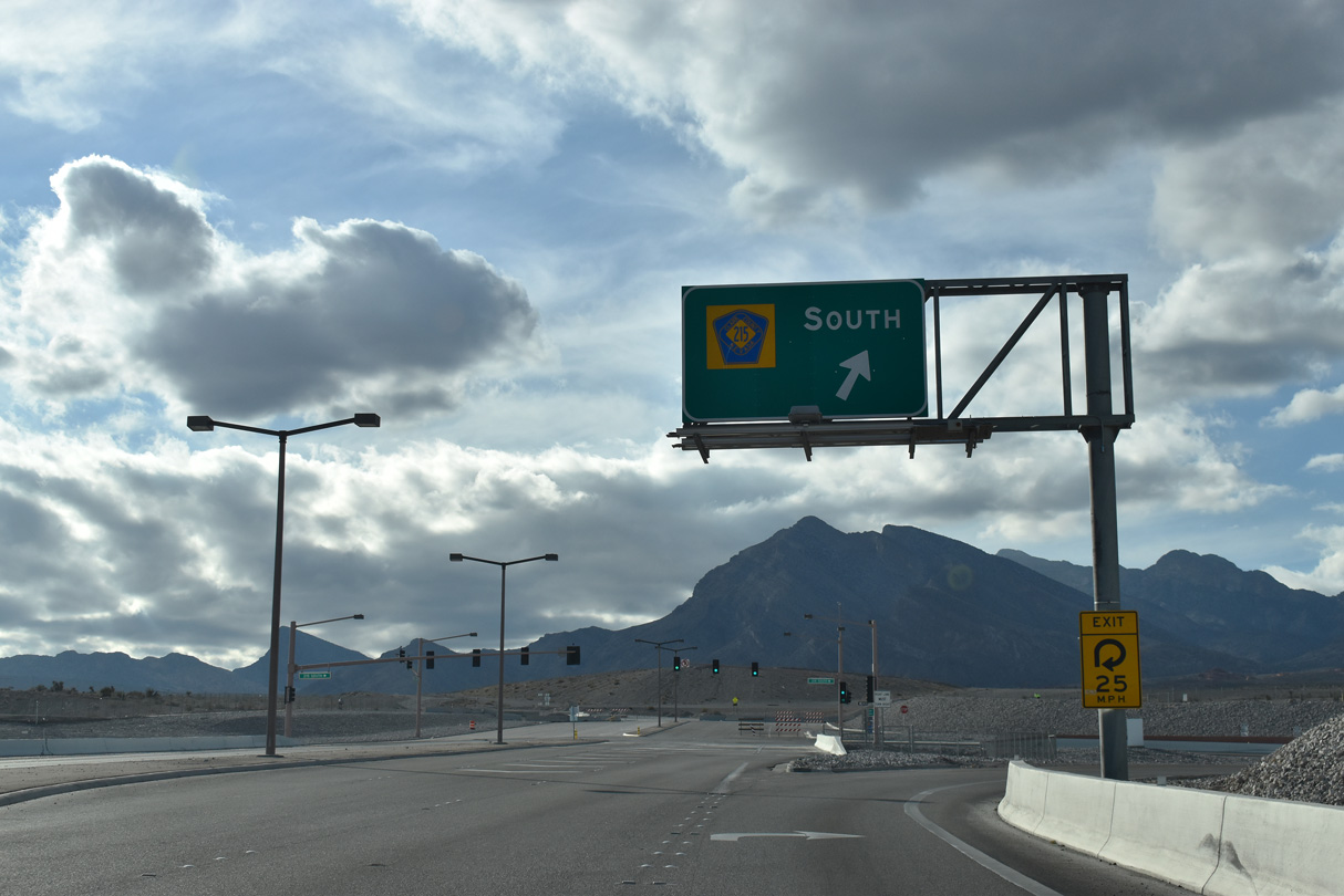
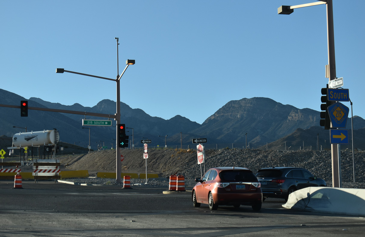
An CC-215 shield assembly posted along the future connection from Sky Vista Drive east into the parclo interchange linking Summerlin Parkway east with the Bruce Woodbury Beltway.
07/22/17
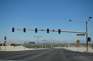
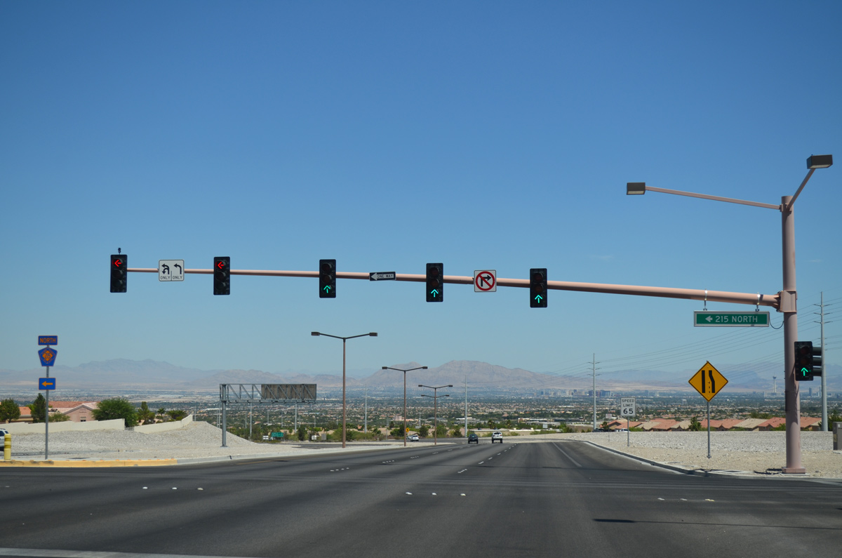
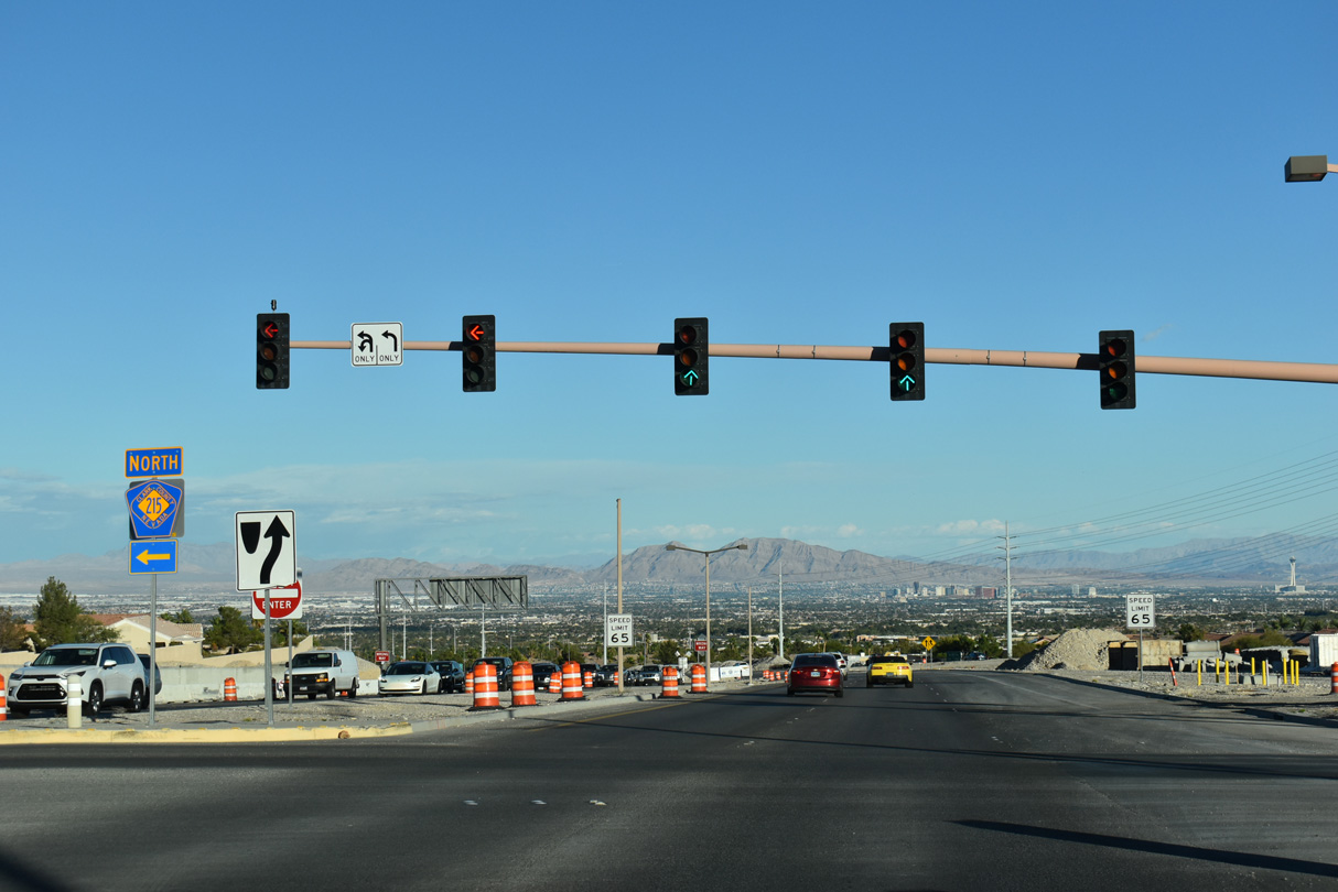
2025-28 construction at CC-215 replaces the left turn from Summerlin Parkway east onto Bruce Woodbury Beltway south with a direct ramp from Sky Vista Drive and Summerlin West.
07/22/17

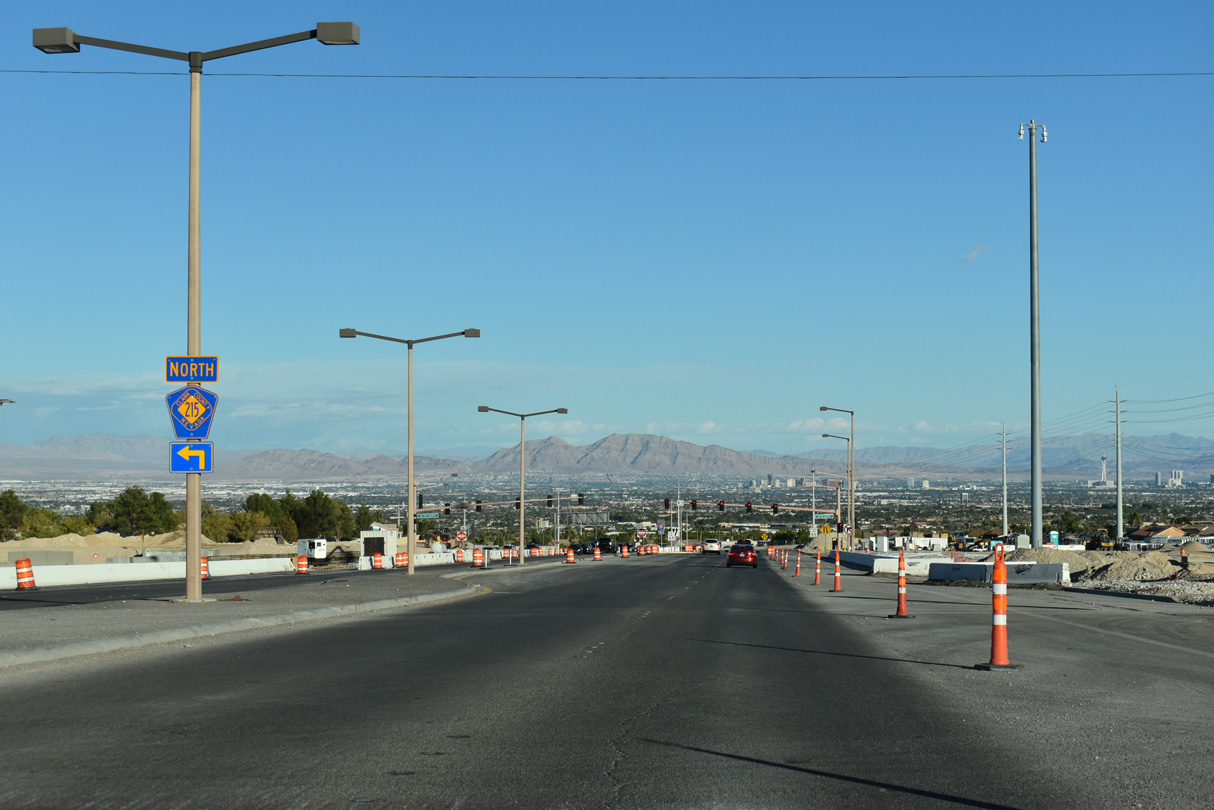
Eliminating a signalized intersection, 2025-28 construction also builds a loop ramp for Summerlin Parkway east onto CC-215 north.
10/23/25

10/23/25

Clark County Route 215 wraps around the west side of Summerlin north to Lone Mountain and I-11/U.S. 95 (Oran K. Gragson Freeway).
10/23/25
10/23/25

10/23/25

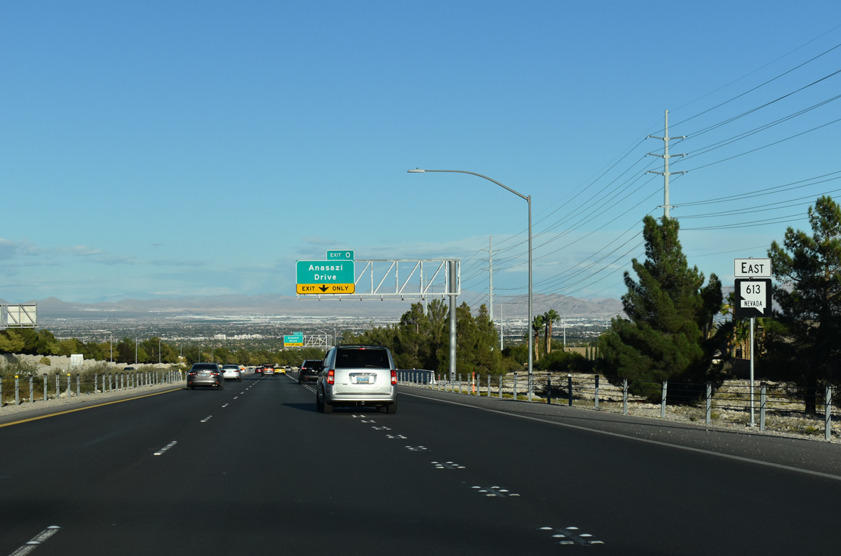
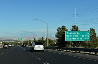
The first of four Summerlin exits along the parkway eastbound joins SR 613 with Anasazi Drive.
10/23/25
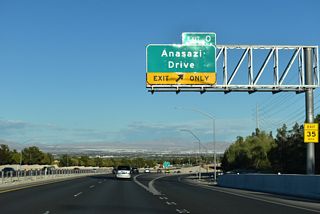
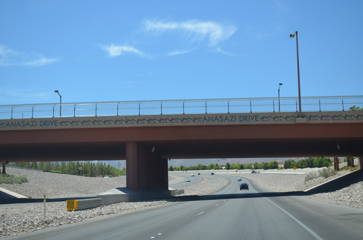
Anasazi Drive curves north from Town Center Drive to meet SR 613 (Summerlin Parkway) at a diamond interchange (Exit 0). The arterial continues north into the Sun City neighborhood of Summerlin.
10/23/25

A decorative overpass carries Anasazi Drive over Summerlin Parkway. The interchange was completed by 2007.
10/23/25
10/23/25

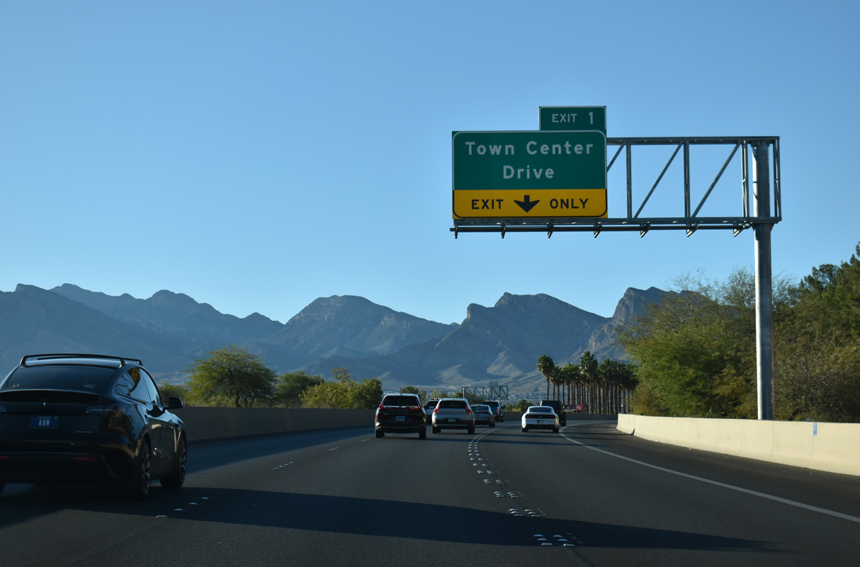
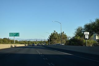
Summerlin Parkway passes under Crestdale Lane one quarter mile west of the diamond interchange (Exit 1) with Town Center Drive.
10/23/25
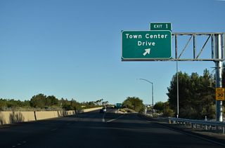
Town Center Drive arcs southwest from Village Center Circle to Charleston Boulevard (former SR 159).
10/23/25

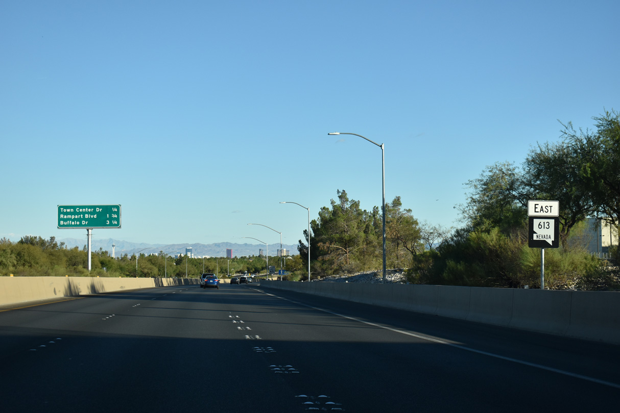
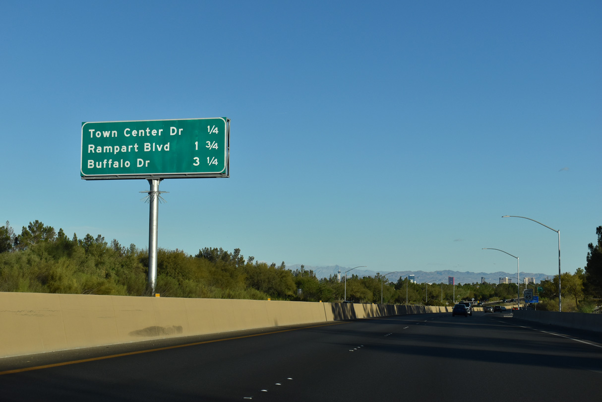
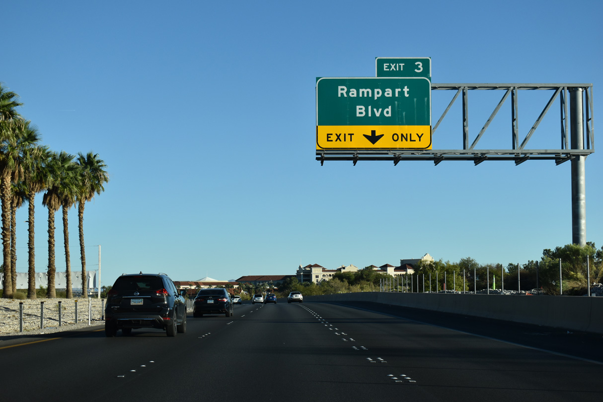
An auxiliary lane opens along SR 613 (Summerlin Parkway) east from the Town Center Drive entrance ramp to the parclo interchange (Exit 3) with Rampart Boulevard.
10/23/25

SR 613 (Summerlin Parkway) curves southeast from the commercial center of Summerlin to meet Rampart Boulevard in a half mile.
10/23/25

The exit for Rampart Boulevard departs two miles ahead of the Summerlin Parkway east end at SR 595 (Rainbow Boulevard) and I-11/U.S. 95.
10/23/25

Rampart Boulevard heads north to The Pueblo and South Shores neighborhoods of Summerlin and south to Charleston Boulevard (old SR 159) at Boca Park shopping center, east of Queensridge.
10/23/25

A loop ramp connects Durango Drive with SR 613 (Summerlin Parkway) one mile from the exit to Buffalo Drive.
10/23/25

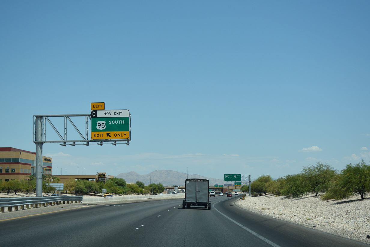
A flyover directly connects SR 613 (Summerlin Parkway) east with the HOV lane along I-11/U.S. 95 south in one mile.
10/23/25

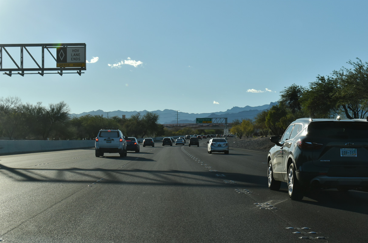
An auxiliary lane extends along Summerlin Parkway east from Durango Drive constructed to Buffalo Drive.
10/23/25

10/23/25

10/23/25
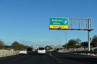
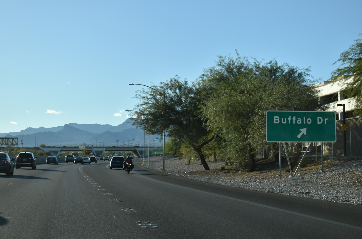
Buffalo Drive meets SR 613 (Summerlin Parkway) at a parclo interchange. Buffalo Drive heads south to Tropicana Avenue and north to Washburn Road.
10/23/25
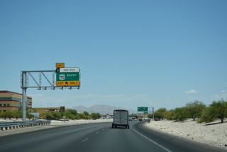
The HOV connections between Summerlin Parkway and I-11/U.S. 95 (Oran K. Gragson Freeway) were completed by 2012. HOV lanes run along Interstate 11 southeast from Lake Mead Boulevard to I-15/U.S. 95.
10/23/25
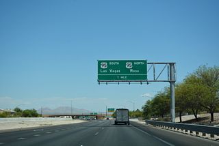
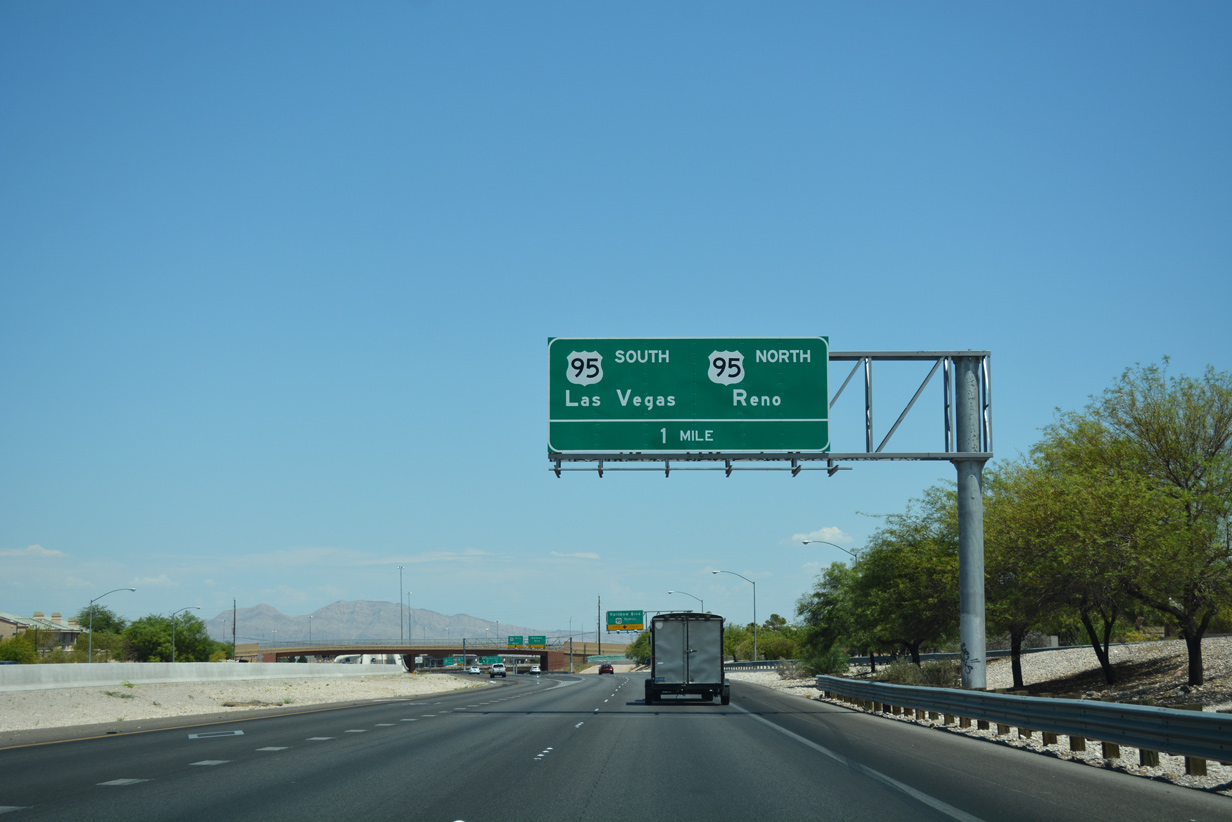
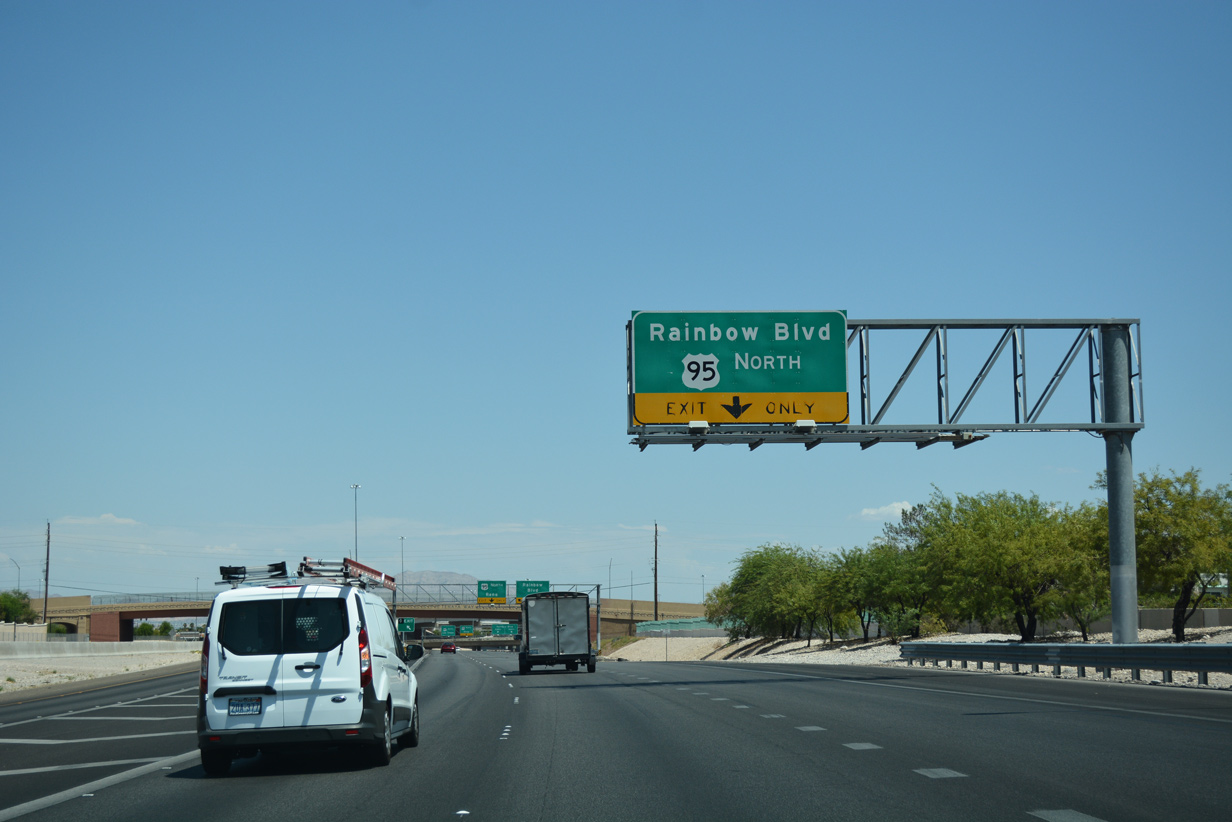
The directional T interchange joining SR 613 (Summerlin Parkway) with I-11/U.S. 95 overlays the SPUI joining the Oran K. Gragson Freeway with SR 595 (Rainbow Boulevard).
10/23/25
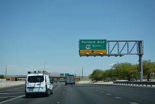
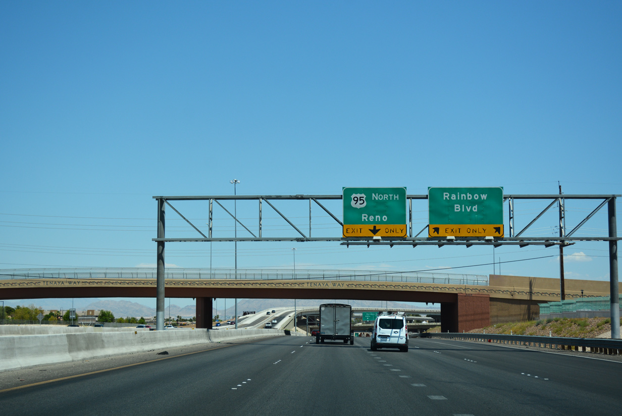
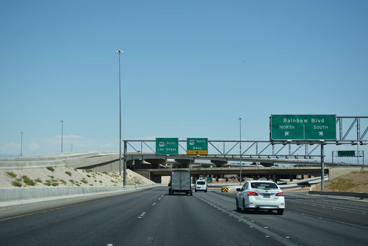
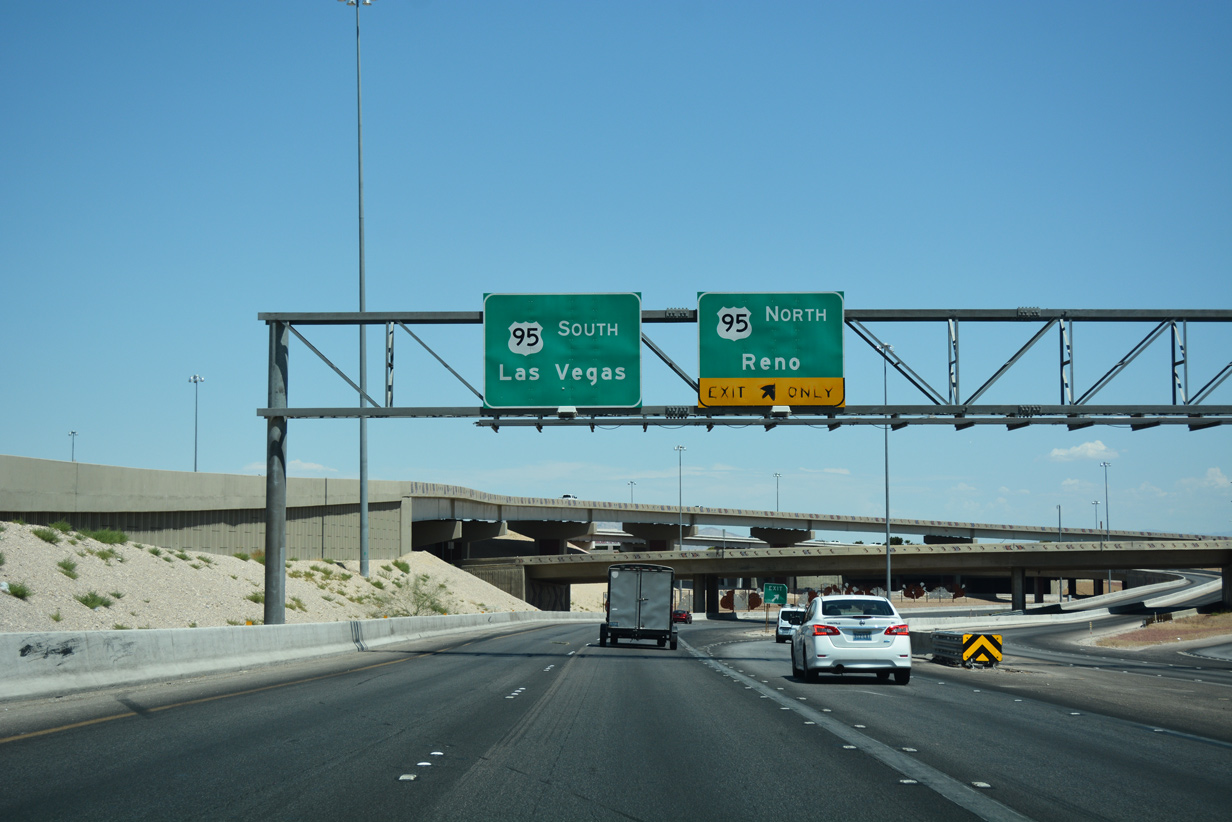
Exit ramps depart simultaneously from Summerlin Parkway east for SR 595 (Rainbow Boulevard) and I-11/U.S. 95 (Oran K. Gragson Freeway) north. U.S. 95 continues through northern reaches of the west valley toward Tonopah and Reno (via U.S. 50).
10/23/25
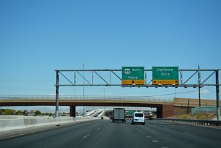
Paralleling I-11/U.S. 95 to Lone Mountain Road, Rainbow Boulevard extends north from the exchange with Summerlin Parkway.
10/23/25
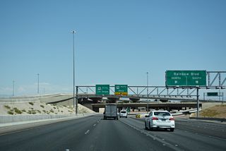
Rainbow Boulevard is SR 595 south from nearby Washington Avenue to Tropicana Avenue in Spring Valley.
10/23/25
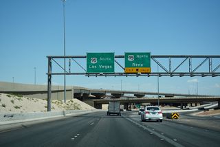
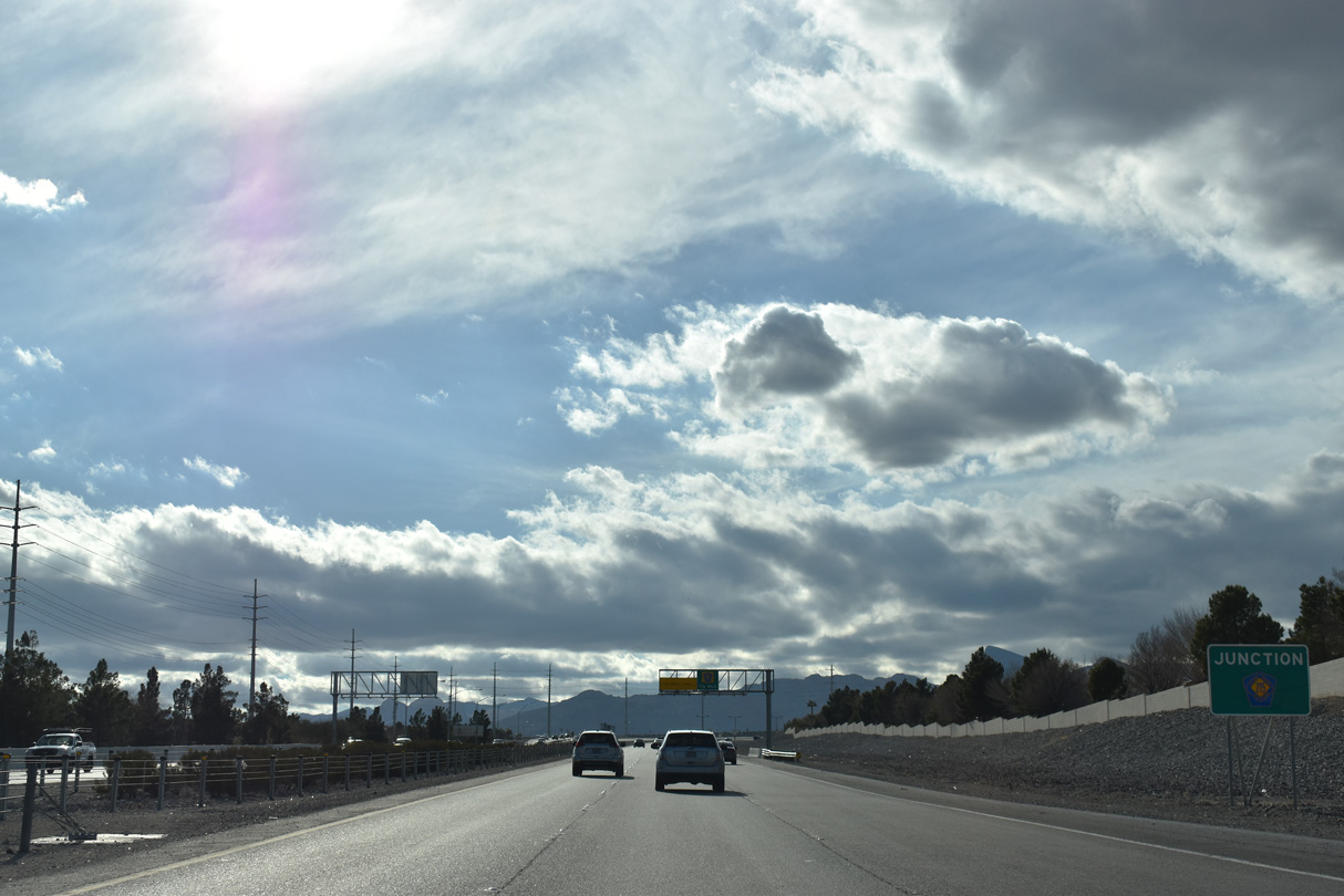
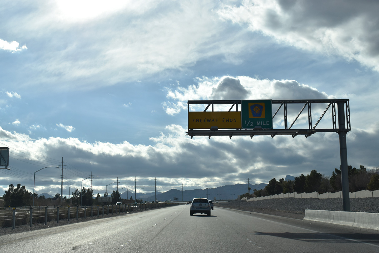
SR 613 (Summerlin Parkway) concludes with two lanes continuing onto I-11/U.S. 95 south (Oran K. Gragson Freeway) to I-15/U.S. 93 and Downtown Las Vegas. The flyover to U.S. 95 north was completed in 2005.
10/23/25

10/23/25
Summerlin Parkway - West

Completed by 2012, expansion of Summerlin Parkway added HOV connections from U.S. 95 to the four lane freeway at Buffalo Drive. Buffalo Drive is a suburban arterial between Sahara Avenue (old SR 589) and Gowan Road.
10/23/25

Buffalo Drive leads north from SR 613 to The Pueblo community in east Summerlin.
10/23/25

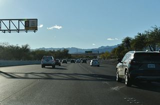
The ensuing exits (Durango Drive, Rampart Boulevard, and Town Center Drive) fall within the community of Summerlin.
10/23/25
10/23/25

10/23/25
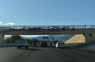
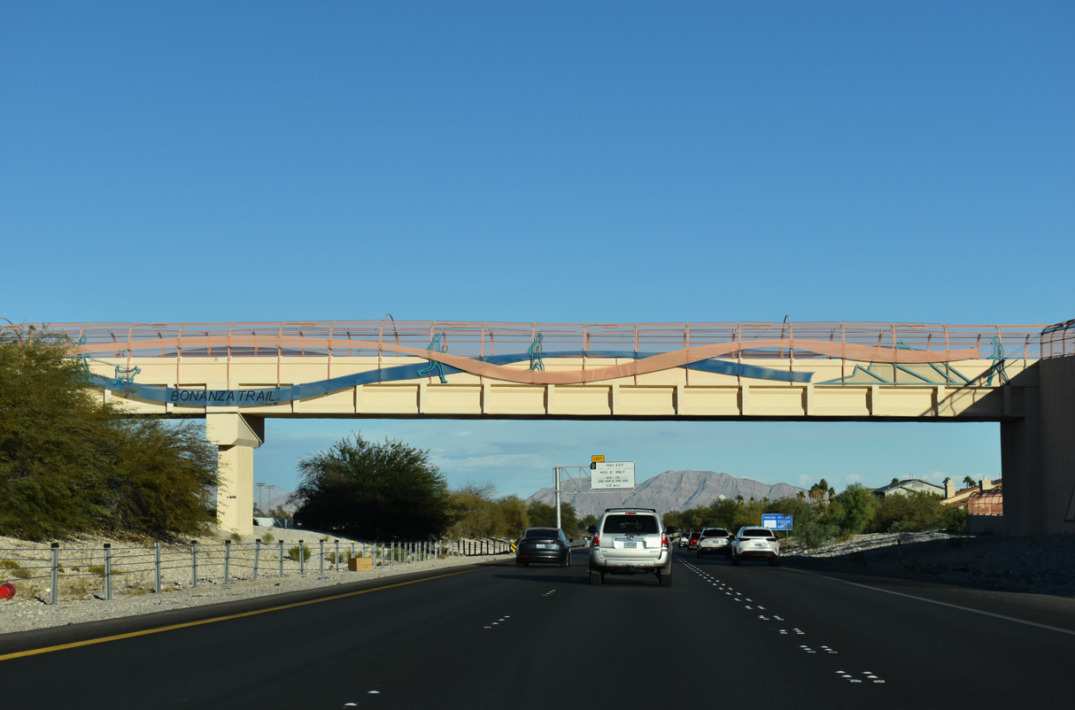
Bonanza Trail spans Summerlin Parkway across a pedestrian bridge by Kellogg Zaher Sports Complex.
10/23/25

10/23/25
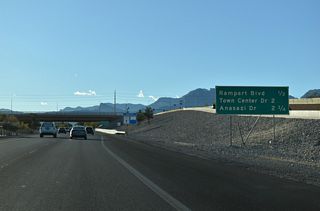
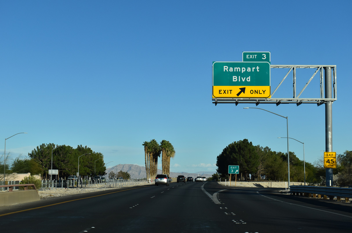
A parclo interchange (Exit 3) joins Rampart Boulevard with Summerlin Parkway in a half mile.
10/23/25
10/23/25

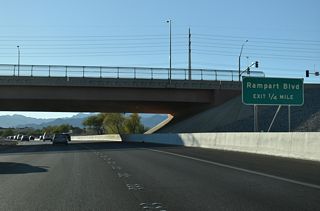
Rampart Boulevard curves northward from Charleston Boulevard (old SR 159) alongside The Canyons, The Hills South and The Hills neighborhoods of Summerlin to Lake Mead Boulevard.
10/23/25

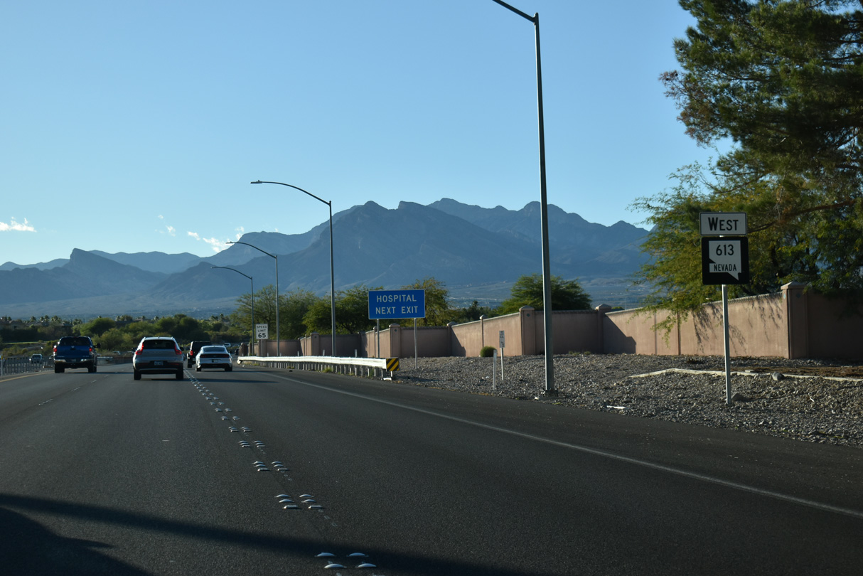
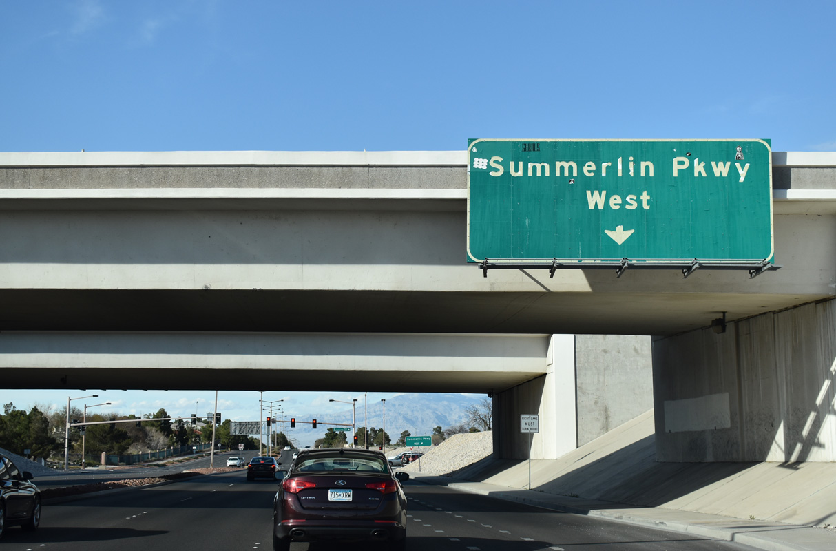
The first confirming marker for SR 613 west along Summerlin Parkway.
10/23/25

SR 613 (Summerlin Parkway) curves northwest between the TPC Canyons and TPC Summerlin Golf Courses to next meet Town Center Drive.
10/23/25
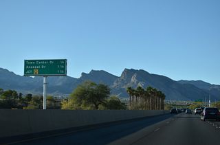
Town Center Drive connects SR 613 with the commercial center of Summerlin north to Village Center Circle and south to Summerlin Hospital Medical Center.
10/23/25

Entering the diamond interchange (Exit 1) with Town Center Drive on Summerlin Parkway west.
10/23/25

10/23/25
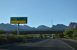
Crestdale Lane passes over Summerlin Parkway a quarter mile ahead of the diamond interchange with Anasazi Drive.
10/23/25

Anasazi Drive loops west from Town Center Drive between The Arbors and The Crossing neighborhoods to Summerlin Parkway.
10/23/25

Continuing 0.8 miles north from the overpass above Summerlin Parkway, Anasazi Drive connects with Lake Mead Boulevard and Sun City Boulevard at the Sun City neighborhood of north Summerlin.
07/21/14
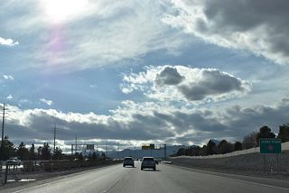
A 0.7 miles separates Anasazi Drive from the parclo interchange with Clark County Route 215.
10/23/25
10/23/25
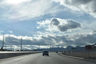
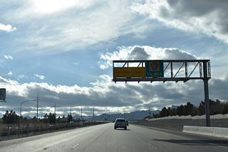
An auxiliary lane accompanies Summerlin Parkway west to the northbound entrance ramp for CC-215 to I-11/U.S. 95 (Oran K. Gragson Freeway).
10/23/25
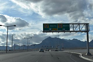
Clark County Route 215 constitutes a three-quarter beltway encircling the Las Vegas metropolitan area along with I-215 from Henderson to I-15 near Las Vegas Motor Speedway. The freeway passes through Summerlin north to Sun City and south to The Gardens neighborhood.
10/23/25
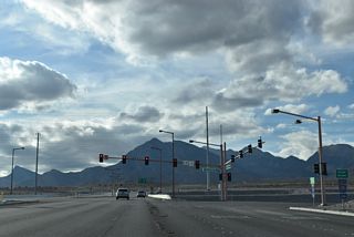
CC-215 travels south through Summerlin 2.2 miles to meet SR 159 (Charleston Boulevard). SR 159 ventures west from the Las Vegas area to Red Rock Canyon.
10/23/25
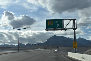
A loop ramp joins CC-215 (Las Vegas Beltway) south to I-15 near Harry Reid International Airport (LAS) and the south end of the Las Vegas Strip. Sunset Run Drive extends west to future villages of Summerlin.
10/23/25

Sunset Run Drive extends west to future villages of Summerlin. Construction upgrading the SR 613/CC-215 interchange through 2028 includes making this connection.
10/23/25

Signalized intersections connect ramps on both sides of the Bruce Woodbury Beltway with the west end of SR 613 (Summerlin Parkway).
10/23/25
Summerlin Parkway scenes
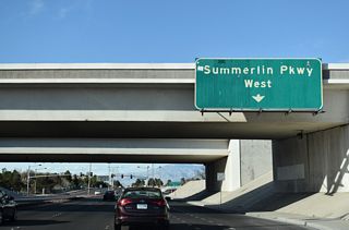
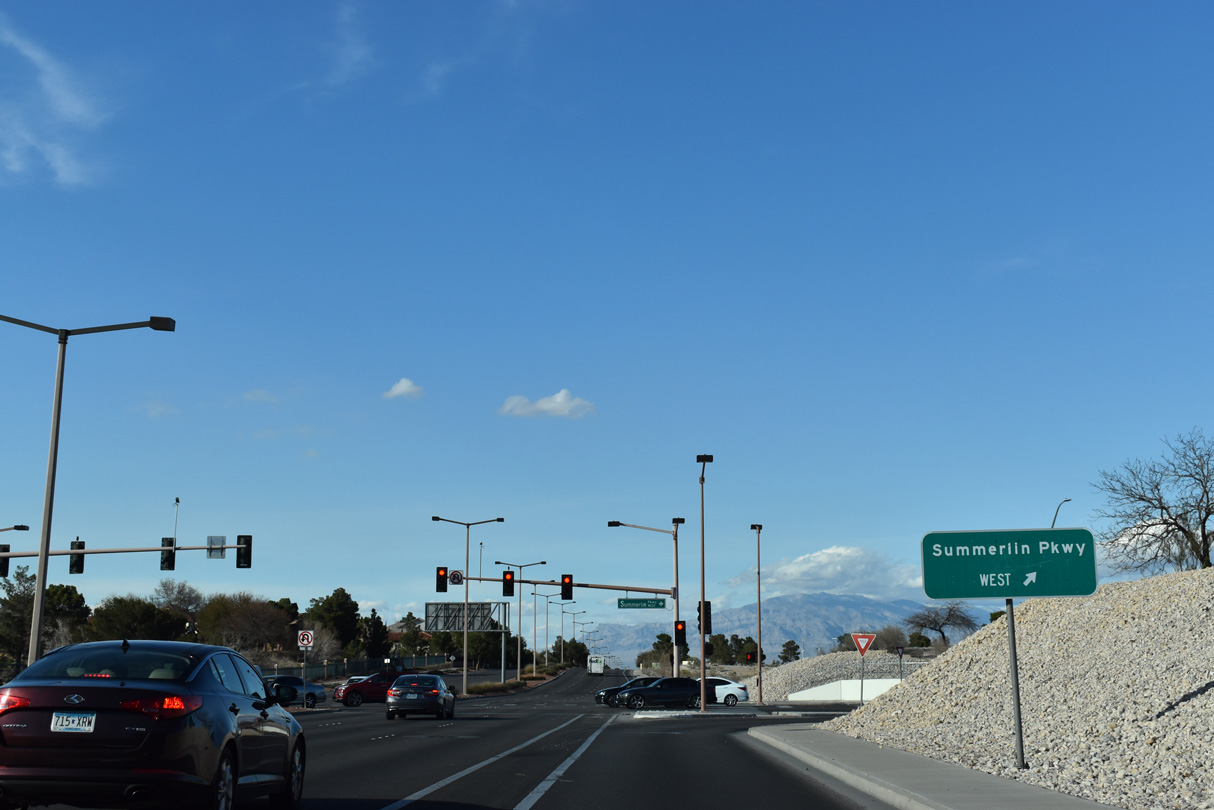
Rampart Boulevard north at the loop ramp for Summerlin Parkway west.
03/04/19
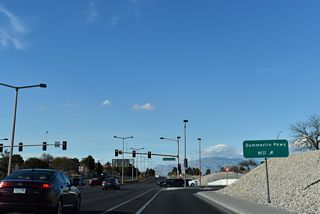
Rampart Boulevard north at the loop ramp for Summerlin Parkway west.
03/04/19
Page Updated Thursday October 30, 2025.