
State Route 59 - Innerbelt
SR 59 runs 22.70 miles from I-76/77 in Akron to SR 5 in Ravenna Township. The route heads north from the Innerbelt at Downtown Akron to Cuyahoga Falls alongside SR 8. Turning east from SR 8, SR 59 continues into Kent and Ravenna.
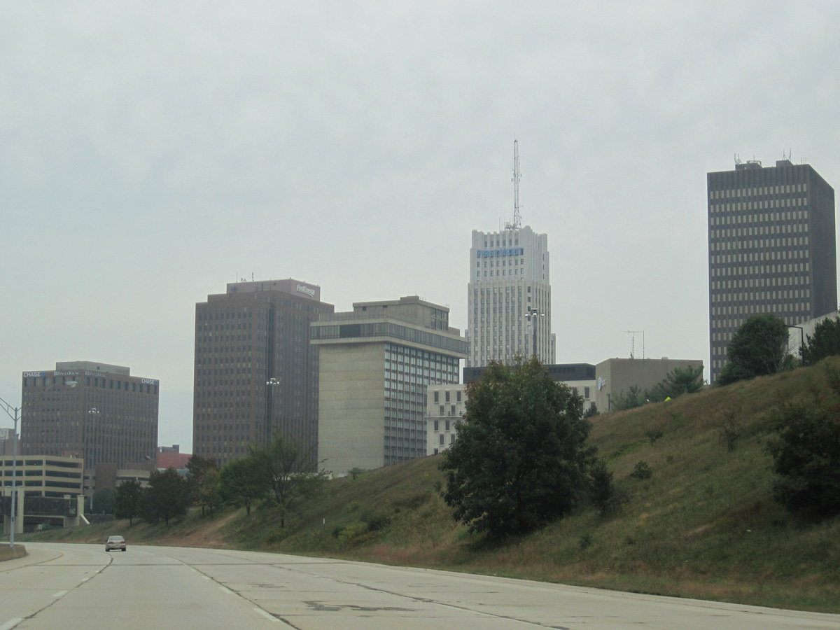
Within Akron, SR 59 follows a 2.00 mile long freeway spur northeast from I-76/77 to Martin Luther King, Jr. Boulevard at W Exchange Street. Commonly known as the Innerbelt Freeway, it is officially named the Martin Luther King, Jr. Freeway. Originally proposed to extend northeast to SR 8, the Innerbelt was envisioned as an alternate route to alleviate traffic at the Central Interchange, which is where I-76/77 and SR 8 come together south of the University of Akron.1
Funds for the construction of the Innerbelt were depleted in the 1970s and early 1980s. The freeway prematurely ended at SR 18 (W Market Street) with SR 59 continuing onto Perkins Street (now Martin Luther King, Jr. Boulevard) to SR 8. With the Innerbelt incomplete, the corridor inadequately served as an alternate to the Central Interchange. A lightly traveled route, the mayor of Akron proposed tearing out the Innerbelt north of Exchange Street in favor of development1. The removal eventually took place, shortening the freeway 0.59 miles to the southwest.
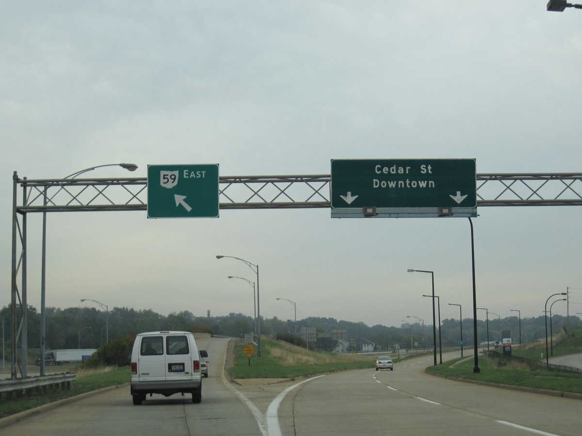
 East
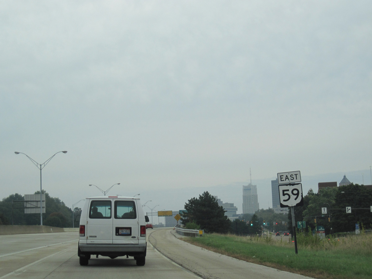
East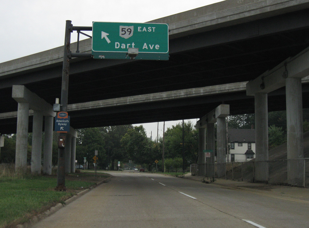
Boulevard Street connects I-76/77 westbound with SR 59 (Innerbelt) east via a Breezewood connection between Exit 21C and Dart Avenue.
10/01/10
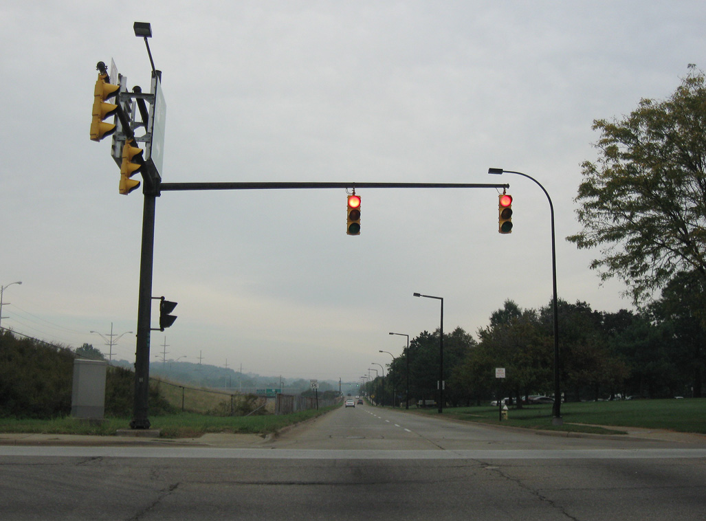
Dart Avenue north at Thornton Street. Dart Avenue comprises the northbound service road for the Innerbelt freeway north from Boulevard Street toward Downtown Akron.
10/01/10
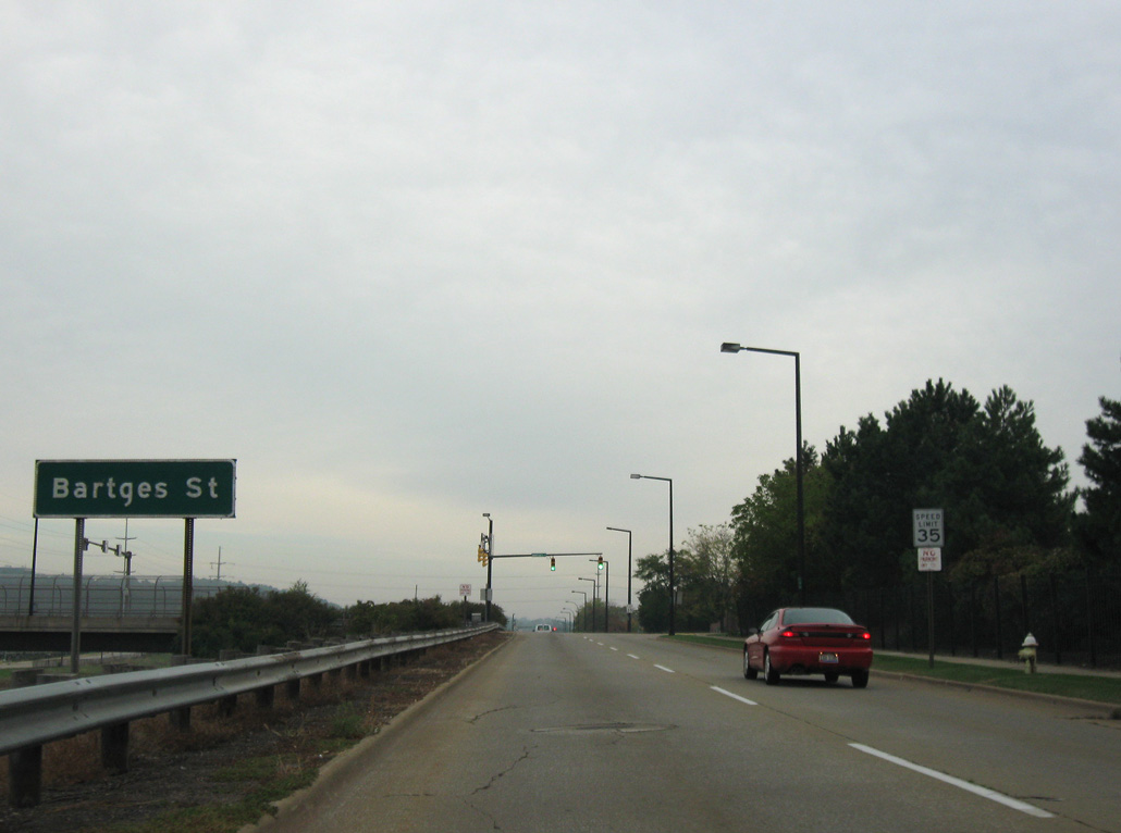
SR 59 (Innerbelt) travels below grade from the Ohio Canal northward. Bartages Street represents the next crossing of the freeway from Dart Avenue north.
10/01/10
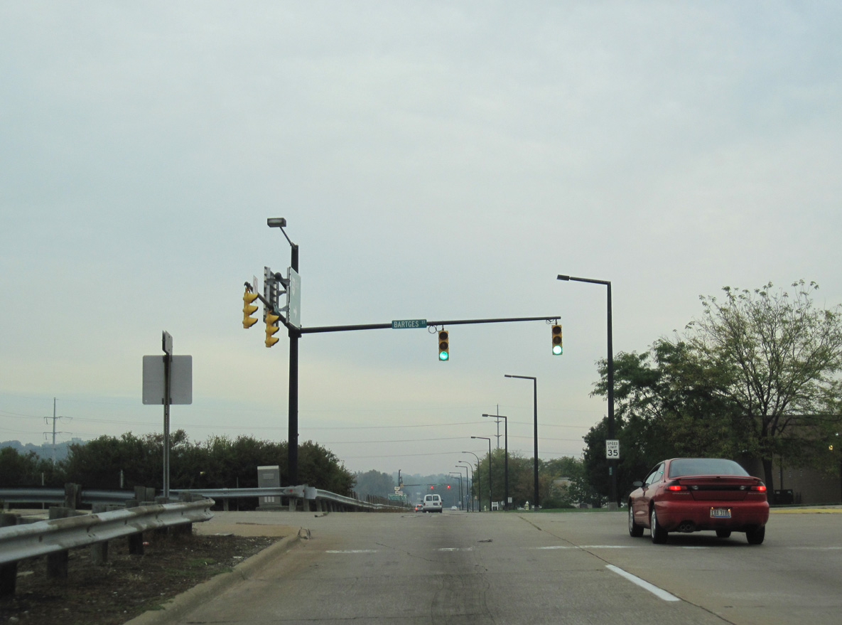
Bartages Street leads west to Lane Field in the Sherbondy Hill neighborhood and east to S Broadway Street at the Akron Greyhound Bus Station.
10/01/10
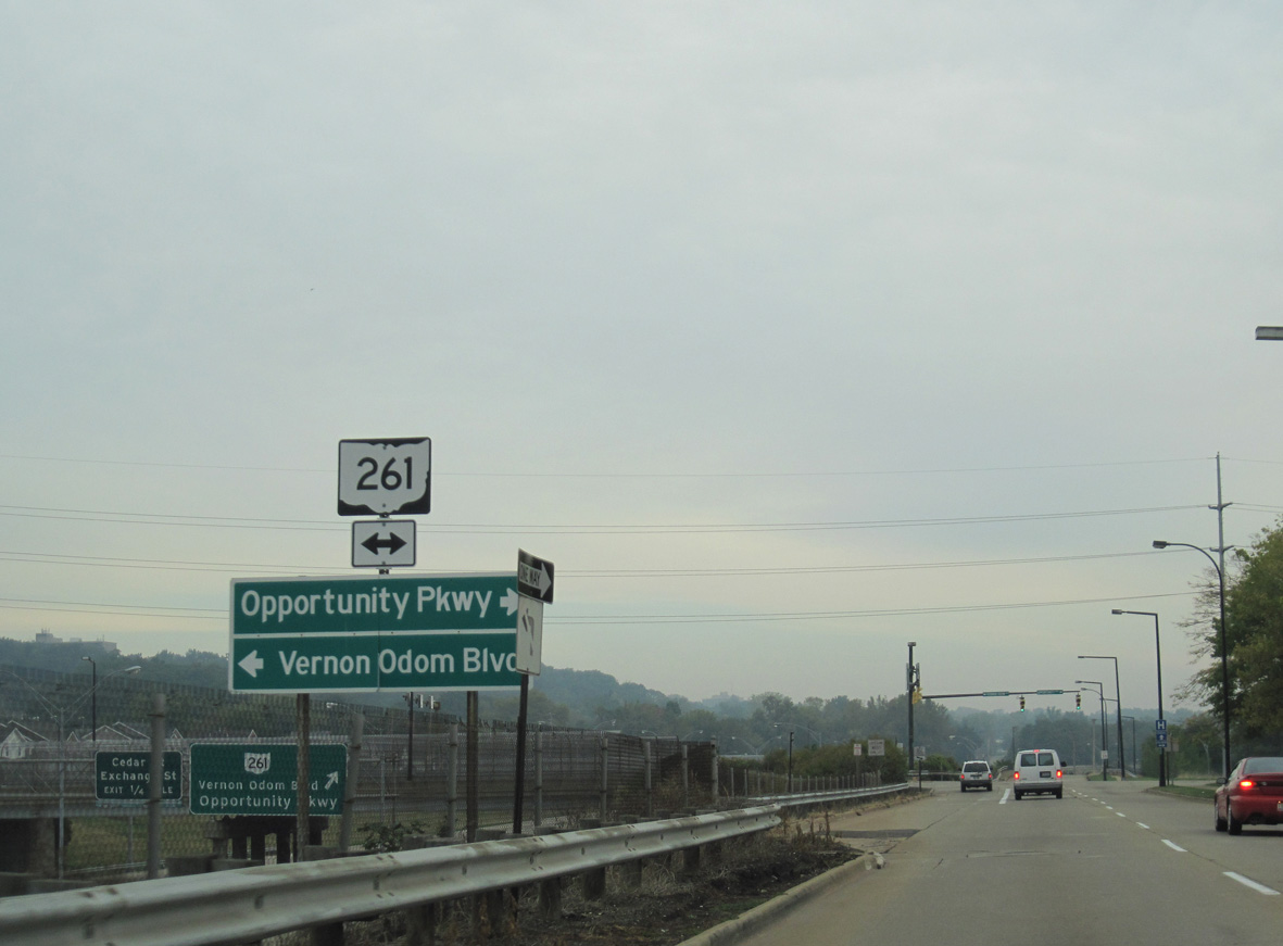
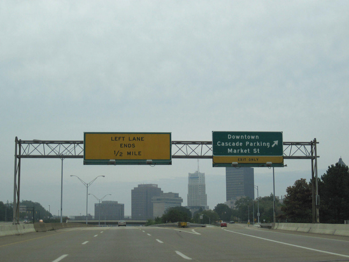
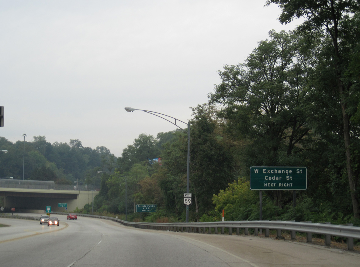
SR 261 follows Opportunity Parkway and Locust Street northeast to the couplet of Cedar and Exchange Streets into Downtown Akron.
10/01/10
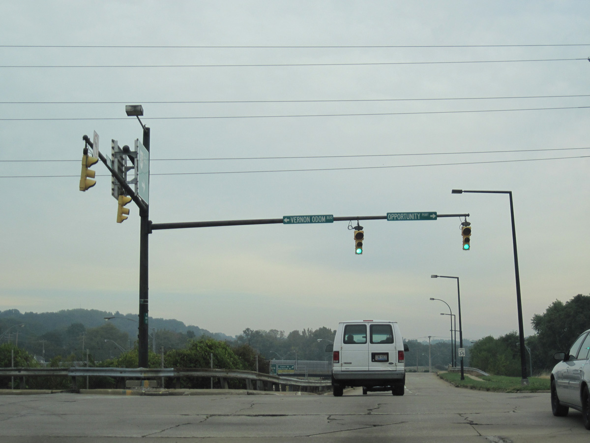
SR 261 continues west along Vernon Odom Boulevard through Sherbondy Hill and Interstate 77.
10/01/10
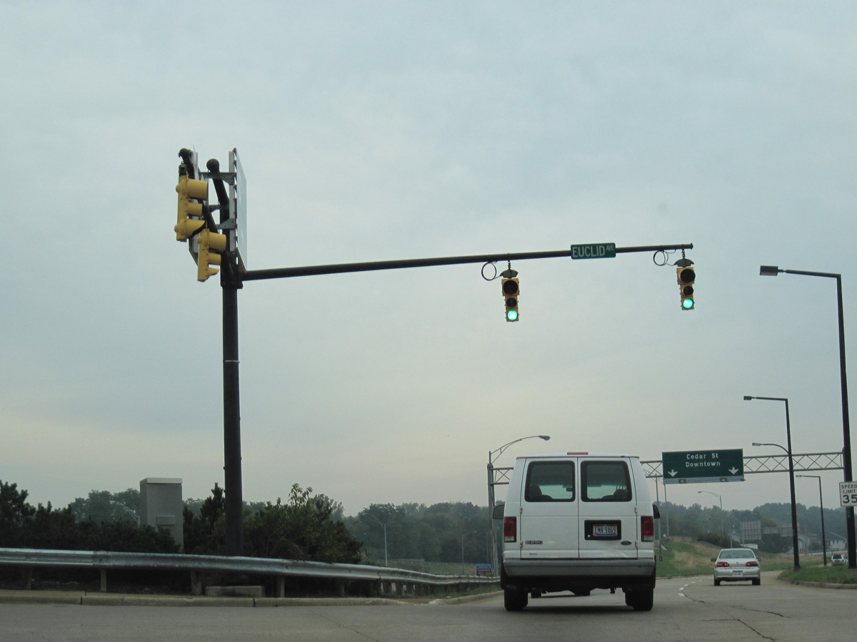
Dart Avenue spans the loop ramp from SR 59 to SR 261 ahead of the signalized intersection with Euclid Avenue.
10/01/10
The entrance ramp to the Innerbelt freeway from Dart Avenue north of Euclid Avenue was removed by 2018.
10/01/10
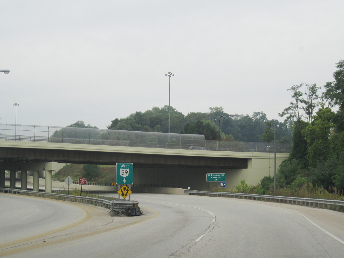
SR 59 (Innerbelt) spans Cedar Street beyond the former entrance ramp from Dart Avenue.
09/30/10
The Innerbelt freeway permanently closed beyond the exit ramp for Market Street (SR 18). SR 59 (Martin Luther King, Jr. Boulevard) shifts onto the adjacent frontage road system on the ensuing stretch.
09/30/10
The Innerbelt freeway continued below Center Street to the west side of Downtown Akron.
09/30/10
SR 59 (Martin Luther King, Jr. Boulevard) parallels the former Innerbelt north to a ramp system with Mill Street and Dart Avenue to SR 18 (Market Street).
09/30/10
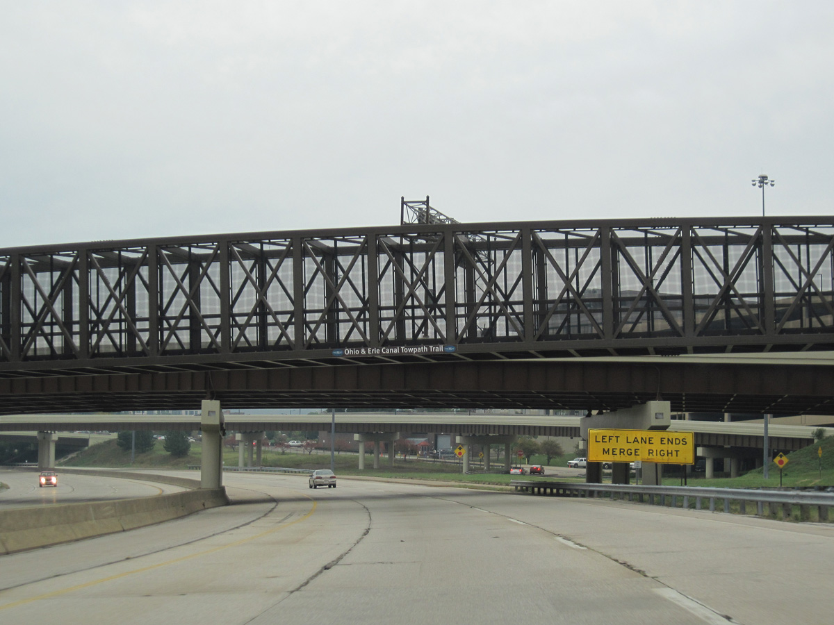
The Ohio & Erice Canal Towpath Trail spanned the Innerbelt freeway ahead of the ensuing entrance ramp from Dart Avenue.
09/30/10
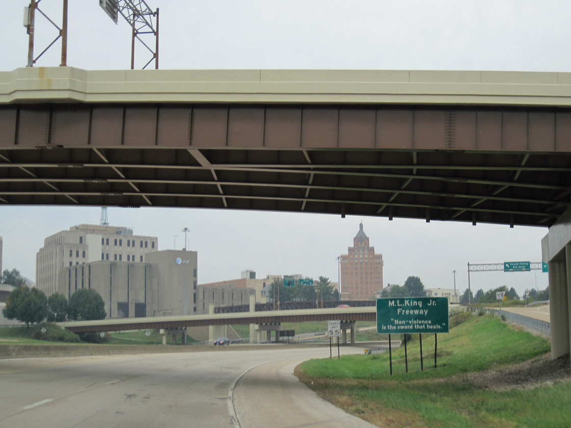
SR 59 (Martin Luther King, Jr. Boulevard) overtakes the north end of the former Innerbelt freeway below SR 18 (W Market Street).
09/30/10
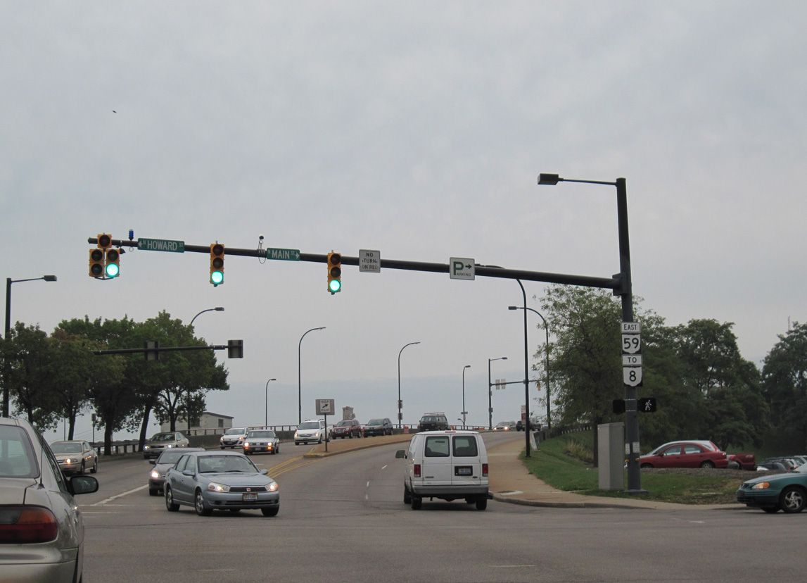
SR 59 (Martin Luther King, Jr. Boulevard) arcs east to a signalized intersection with Howard Street north and Main Street south.
09/30/10
West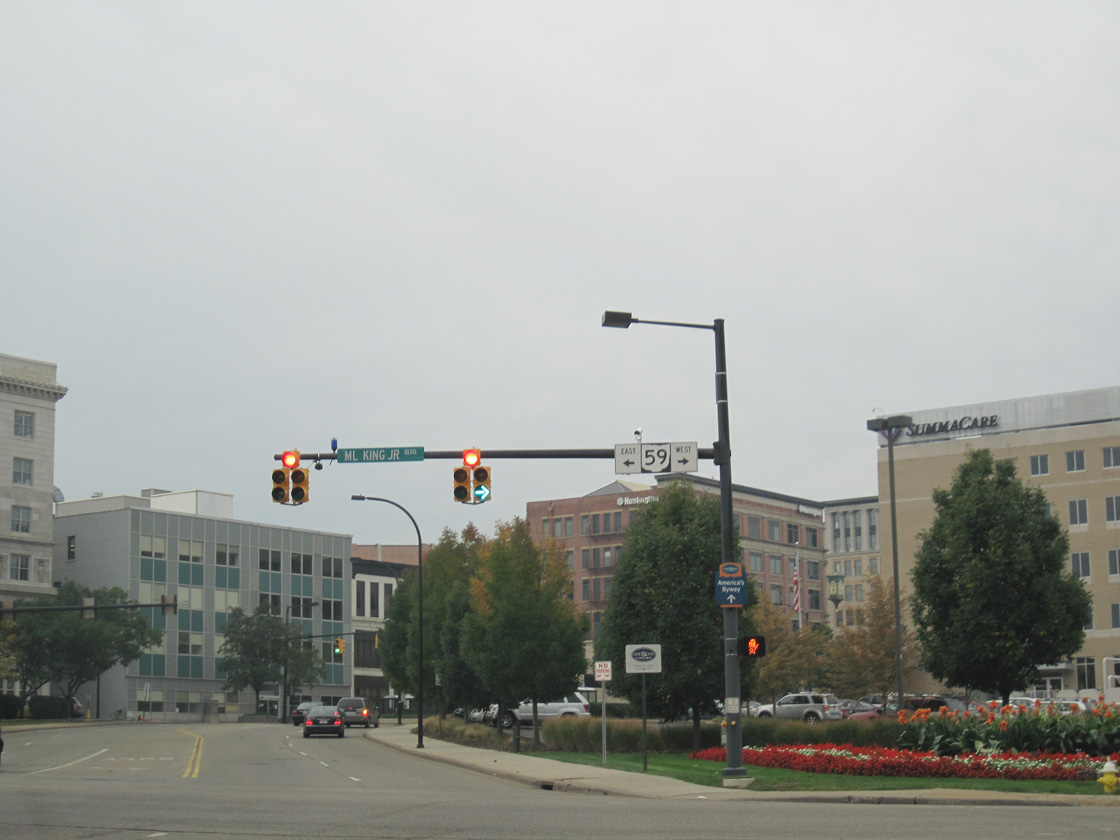
Howard Street south at SR 59 (Martin Luther King, Jr. Boulevard) and Main Street at Downtown Akron. The Innerbelt freeway formerly began nearby.
09/30/10
SR 59 (Martin Luther King, Jr. Boulevard) previously shifted onto the Innerbelt freeway southwest below the SR 18 (W Market Street) overpass.
09/30/10
SR 59 was realigned onto what was the exit ramp for W Exchange and Cedar Streets over Rand Avenue, the west side service road for the Innerbelt freeway.
09/30/10
The Martin Luther King, Jr. Freeway (Innerbelt) permanently closed between SR 18 (W Market Street) and the Rand Avenue entrance ramp near W Exchange Street by 2018.
09/30/10
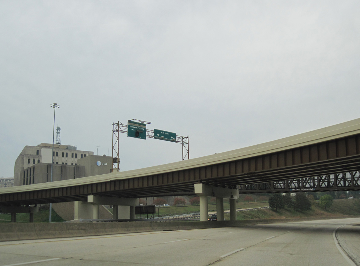
Southbound on the former Innerbelt freeway at the flyover for Mill Street.
09/30/10
SR 59 shifts onto the remainder of the Innerbelt freeway south of Center Street.
09/30/10

The exit ramp onto Rand Avenue south ahead of Euclid Avenue and SR 261 (Vernon Odom Boulevard) was also removed by 2018.
09/30/10
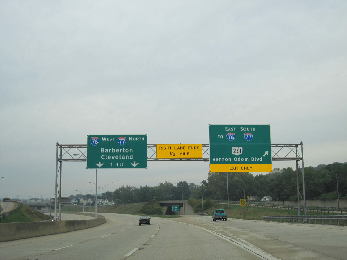
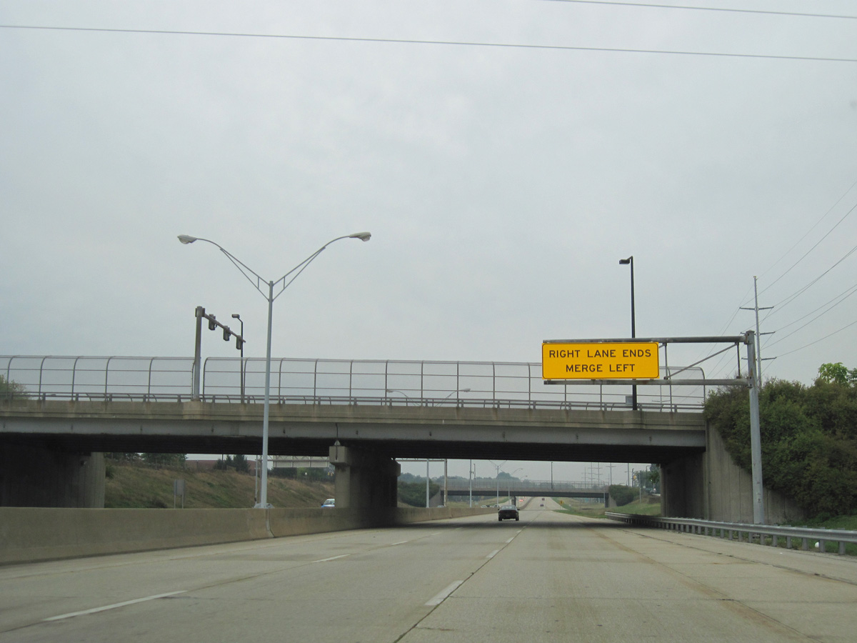
SR 59 defaults onto I-76/77 west beyond the former exit for SR 261 (Vernon Odom Boulevard). The adjacent entrance ramp was retained, but lowered at-grade.
09/30/10
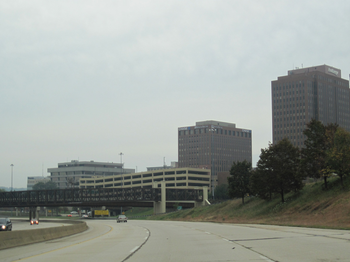
SR 261 spans SR 59 along Opportunity Parkway east from Vernon Odom Boulevard.
09/30/10

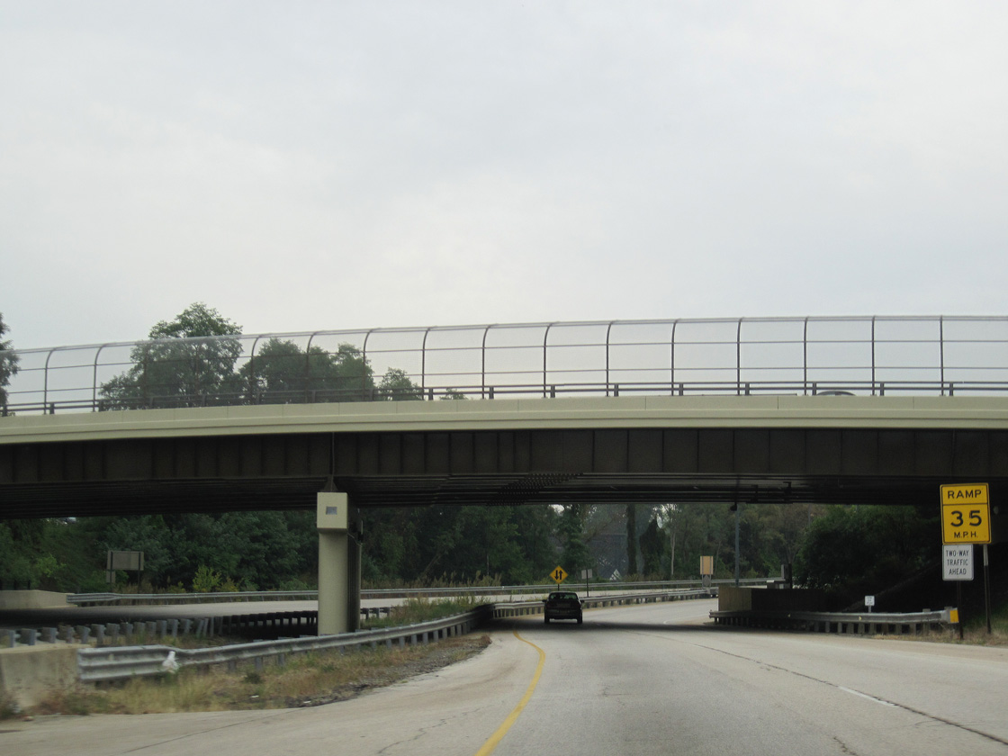
An end shield appears along SR 59 (Innerbelt) westbound along the viaduct crossing Thornton Street, the Ohio & Erie Canal and Boulevard Street.
09/30/10
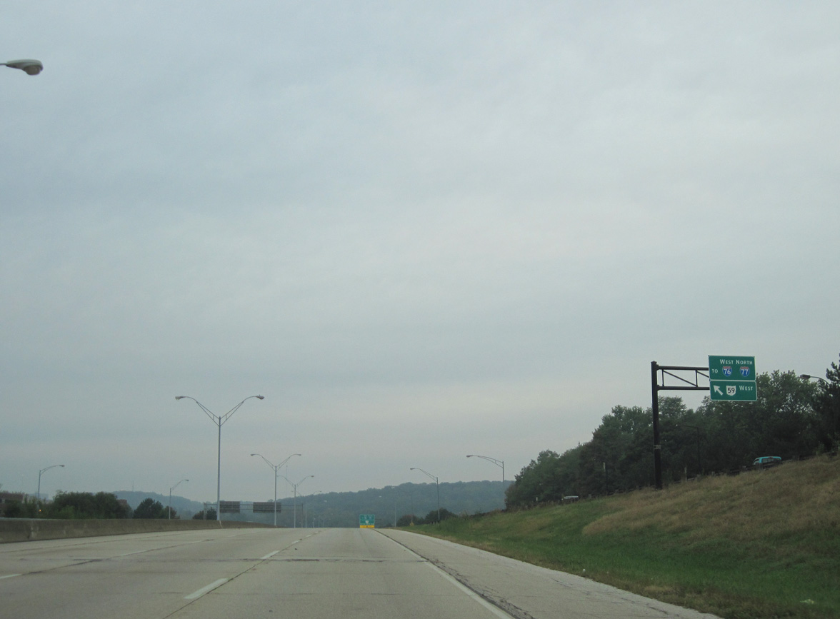
SR 59 concludes at a wye interchange with I-76/77 westbound ahead of Exit 21A to East Avenue.
09/30/10
References:
- Hanudel, Steve.
Photo Credits:
- ABRoads: 09/30/10, 10/01/10
Connect with:
Page Updated Tuesday August 31, 2021.