
Highway 33
South Carolina Highway 33 joins the city of Orangeburg in Orangeburg County with the town of Cameron. The 19.36 mile long highway branches east from U.S. 301/601 (John C. Calhoun Drive) along Russell Street just east of the North Fork of the Edisto River. Following Russell Street, S.C. 33 passes through Downtown Orangeburg east to U.S. 601/21 Business (Magnolia Street) and the campus of South Carolina State University.
East from Orangeburg, S.C. 33 (Russell Street) parallels a CSX Railroad line to a folded diamond interchange (Exit 149) with Interstate 26. The state highway continues along Cameron Road by the CSX Railroad to the Calhoun County line and U.S. 176 (Old State Road) in Cameron. S.C. 33 leaves Cameron and advances northeast by Moss Lake to S.C. 6 by Creston. The route concludes at a five point intersection with S.C. 267 (McCords Ferry Road) and Lone Star Road near the unincorporated community of Lone Star.
 North
North
Confirming marker posted beyond the exchange with I-26 at Glenzell Road south and Assembly Hall West north.
11/19/21
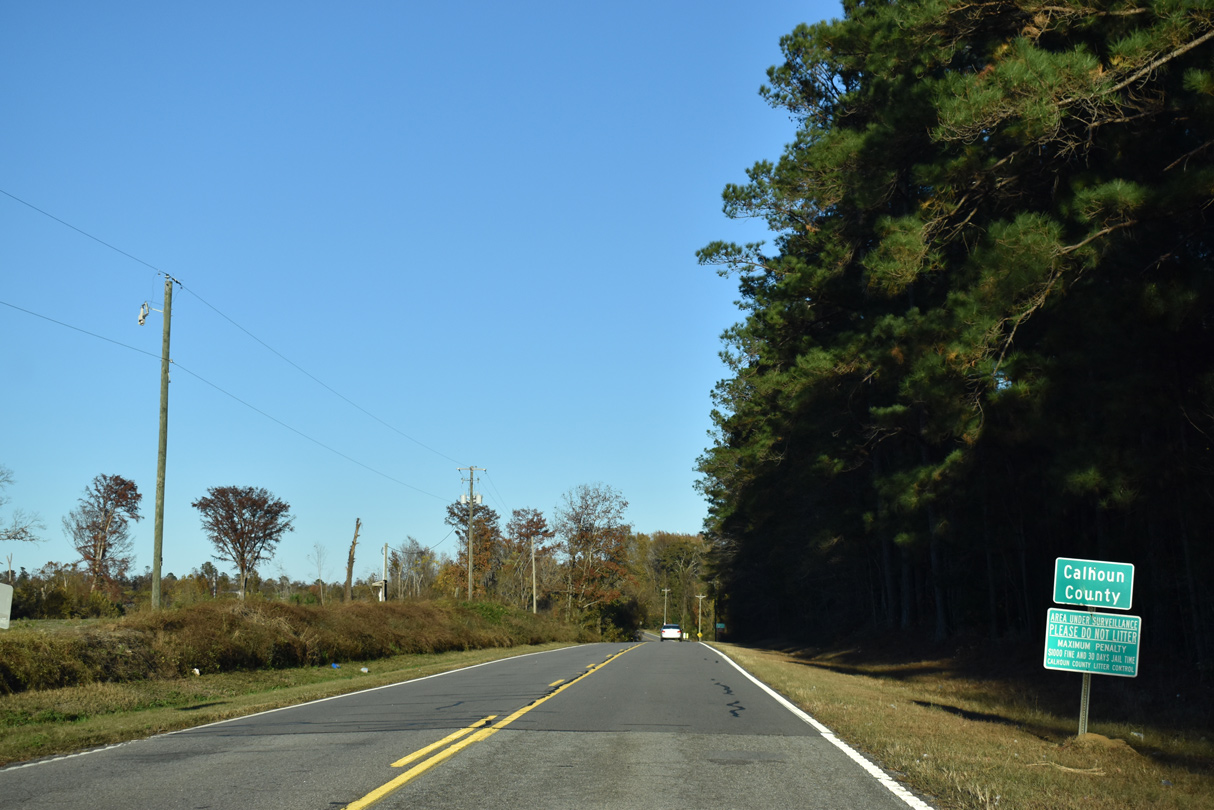
S.C. 33 (Cameron Road) north at the Calhoun County line.
11/19/21
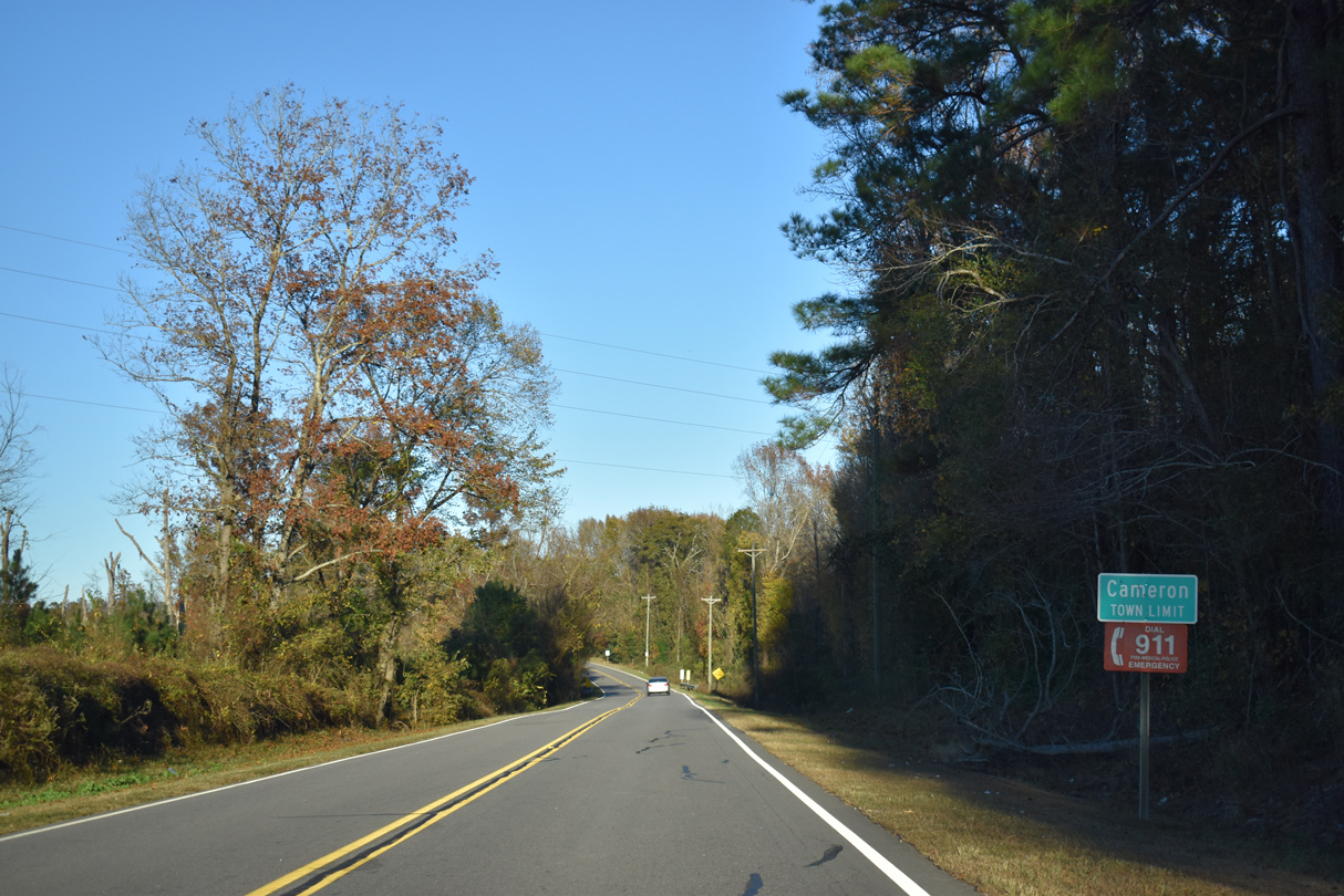
S.C. 33 enters the town of Cameron ahead of Four Hole Swamp.
11/19/21
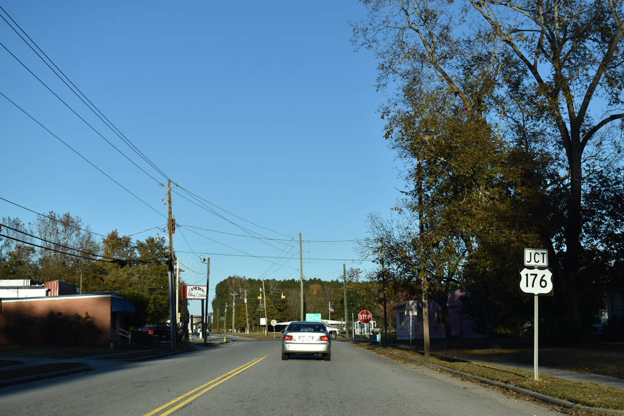
Proceeding north through the Cameron street grid, S.C. 33 (Cameron Road) meets U.S. 176 (Old State Road).
11/19/21
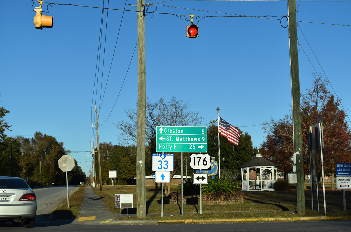
Paralleling Interstate 26 to the east, U.S. 176 (Old State Road) runs northwest to U.S. 601 outside St. Matthews and southeast 25 miles to Holly Hill.
11/19/21
Photo Credits:
- ABRoads: 11/19/21
Connect with:
Page Updated Wednesday December 29, 2021.