
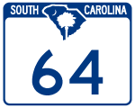
Highway 64
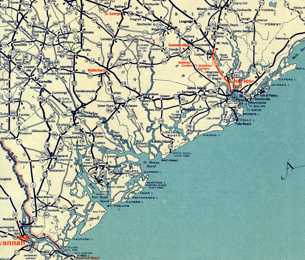
South Carolina State Highway 64 travels 73.73 miles from the gate to the Savannah River Site at the town of Snelling to U.S. 17 at Jacksonboro in the LowCountry. S.C. 64 joins the Barnwell County seat of Barnwell with the Colleton County seat of Walterboro.
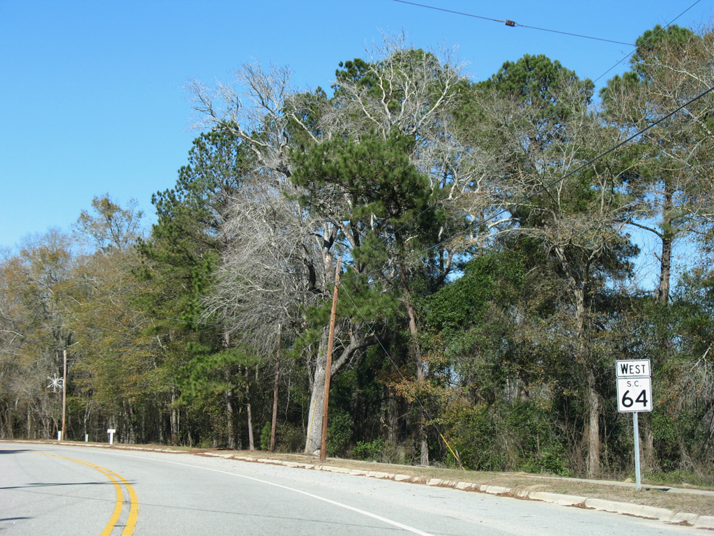
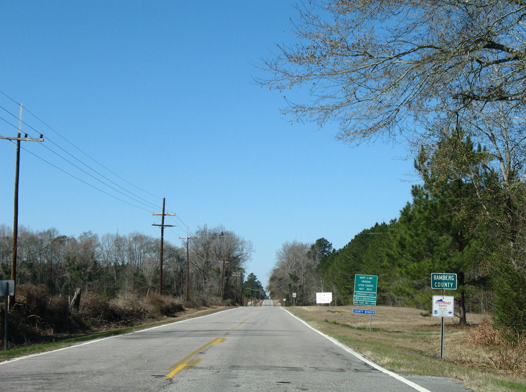
S.C. 64 bee lines east from Snelling into Barnwell, where the state highway combines with U.S. 278 for 0.65 miles along Dunbarton Boulevard and Jackson Street through Downtown. Angling southeast from S.C. 3 (Marlboro Avenue), S.C. 64 crosses agricultural areas north of the Salkehatchie River to Bamberg County.
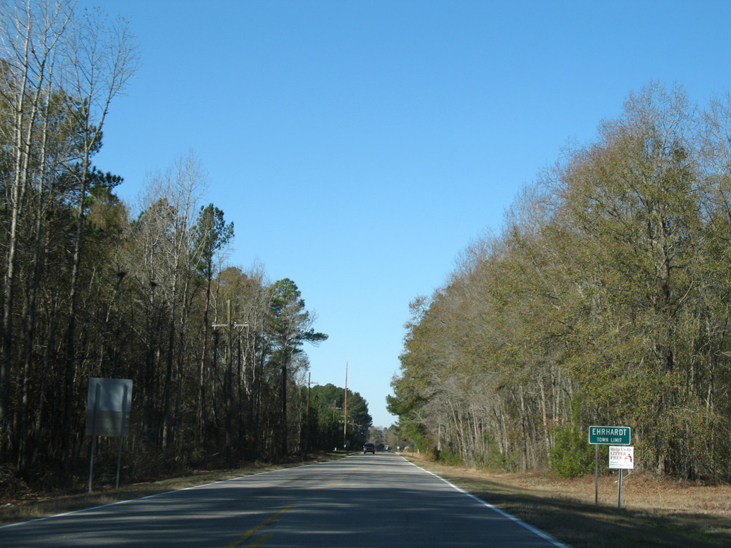
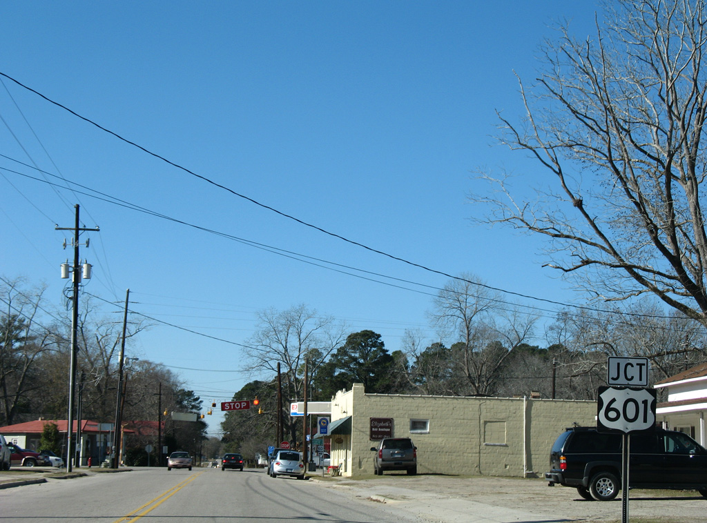
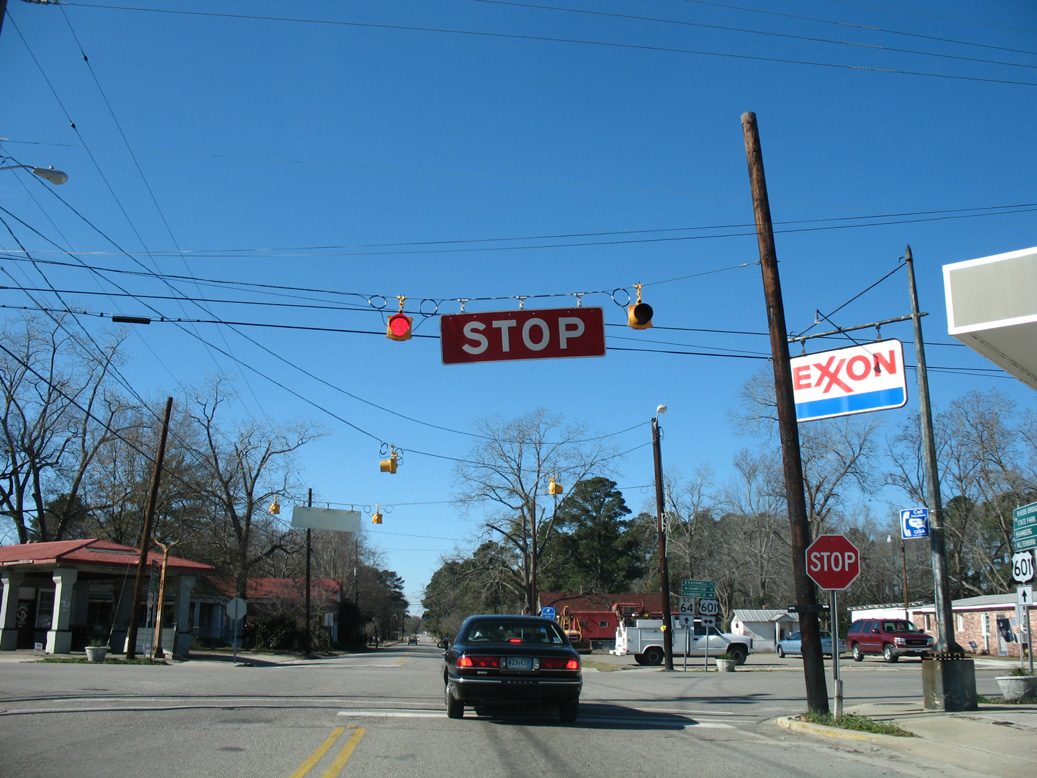
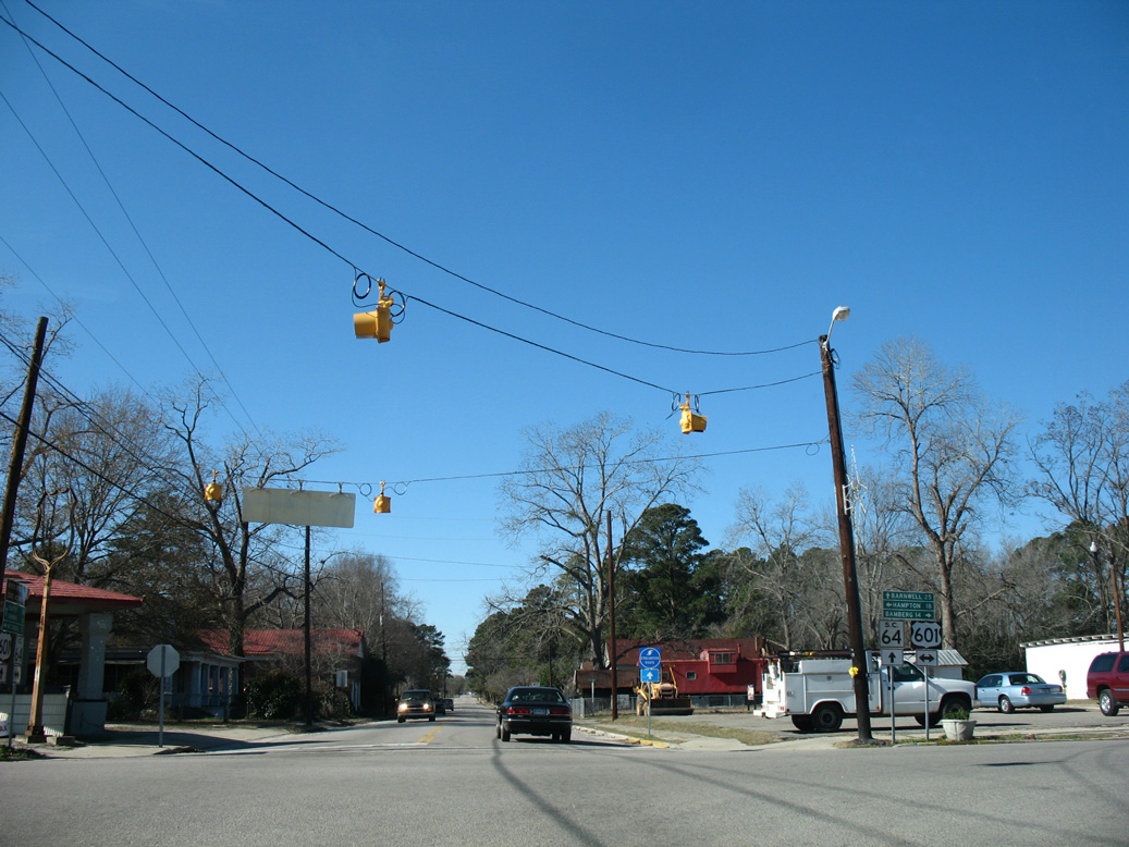
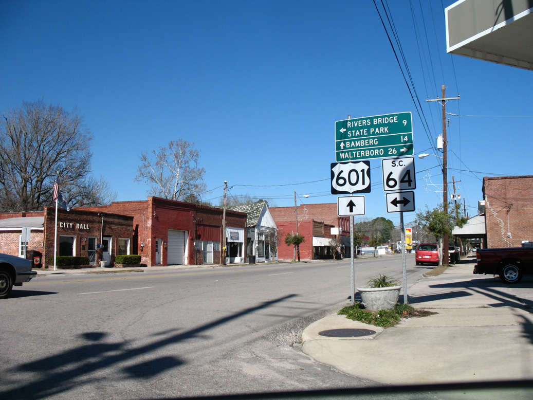
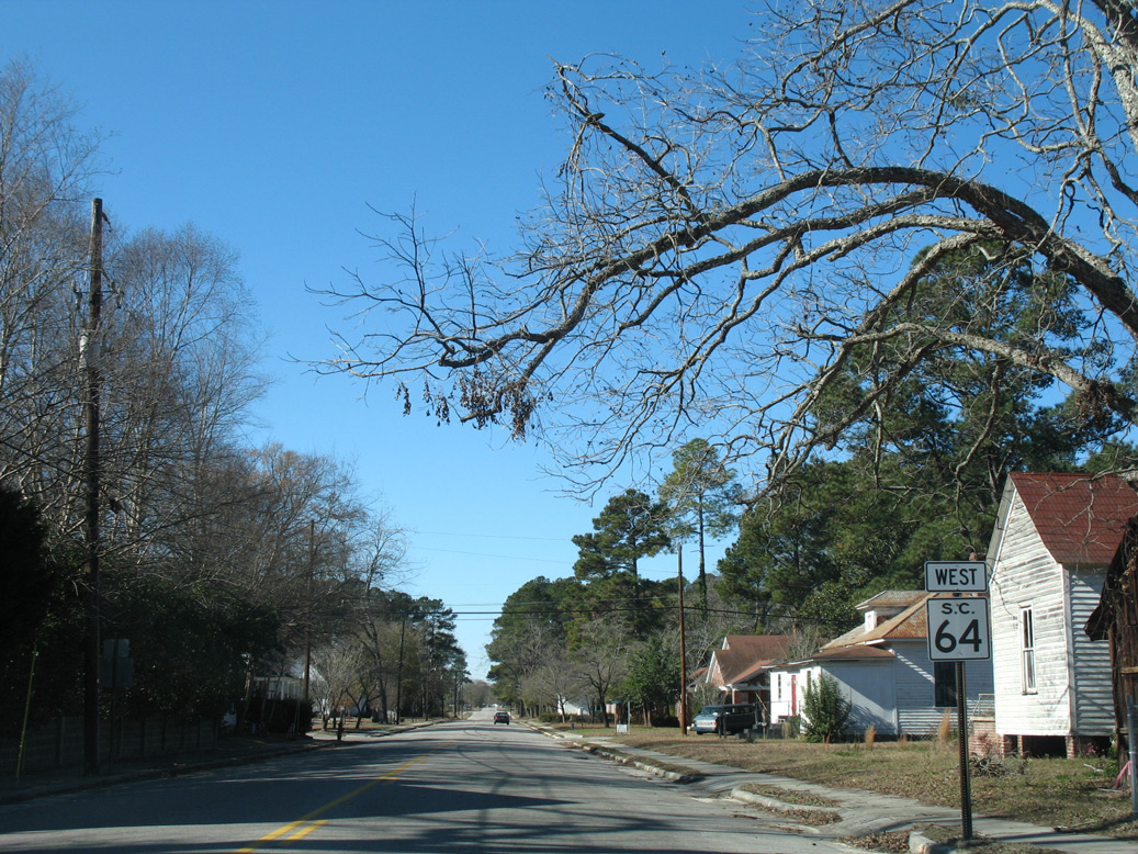
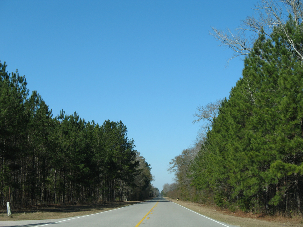
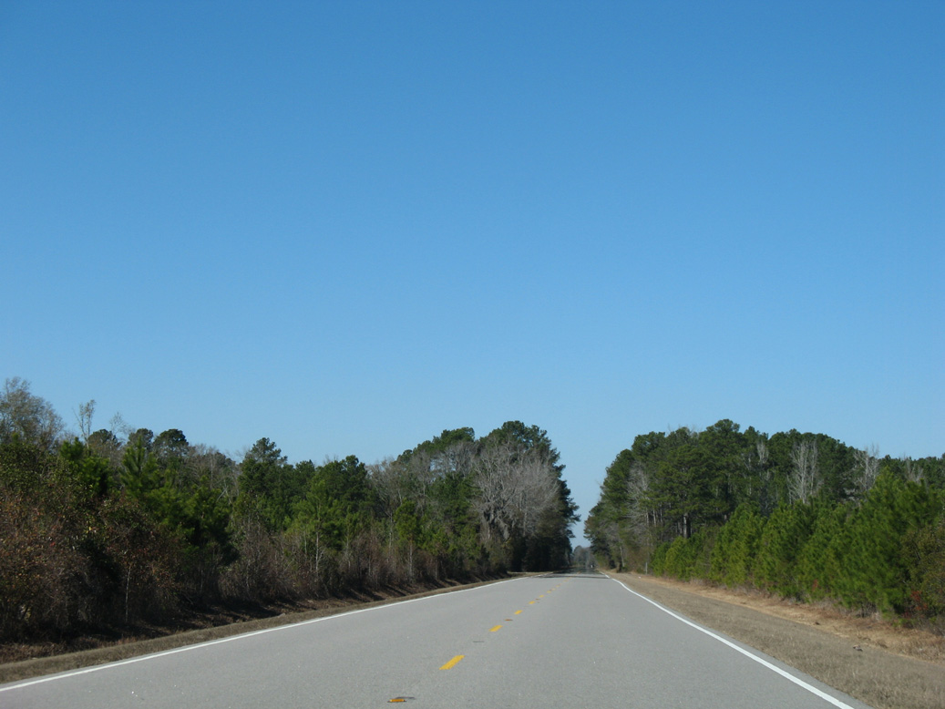
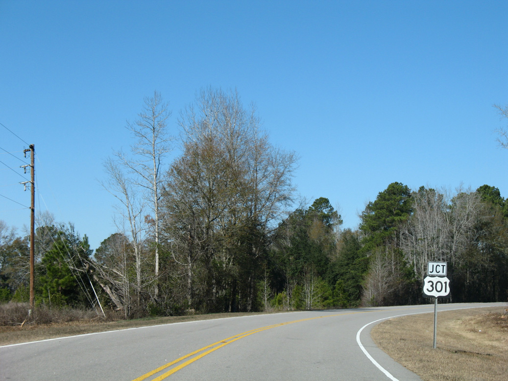
Continuing east across the town of Olar, S.C. 64 (Low Country Highway) meets U.S. 321 (Carolina Highway). The route turns southward again from there to a short overlap with U.S. 301 west of Alligator Bay. Resuming eastward from U.S. 301, S.C. 64 heads to U.S. 601 at the town of Ehrhardt, and into Colleton County ahead of the town of Lodge.
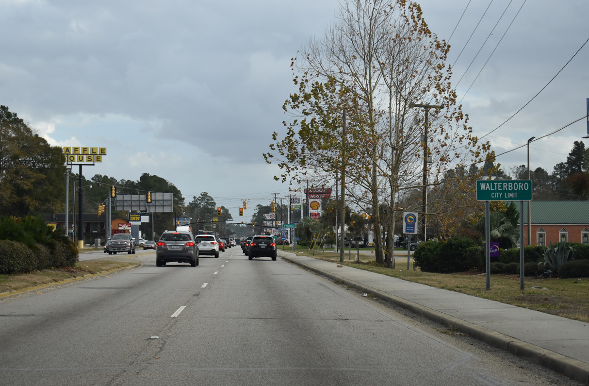
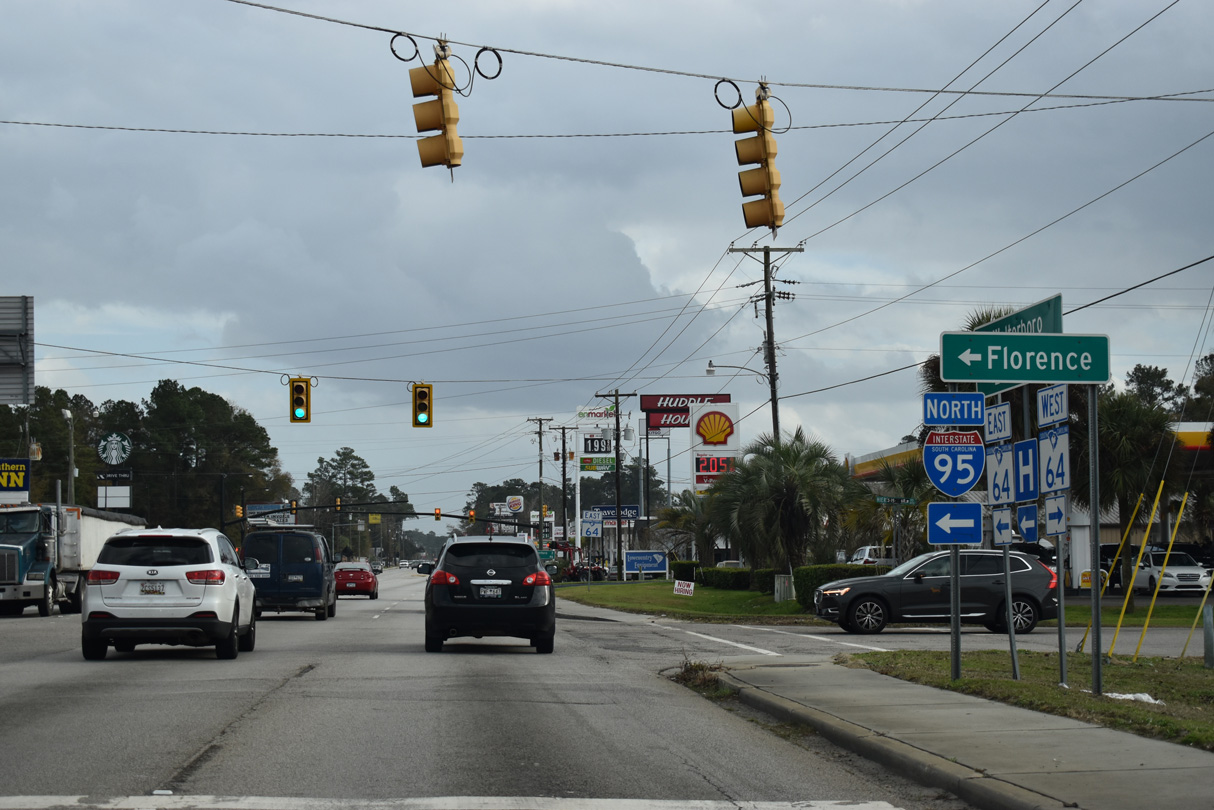
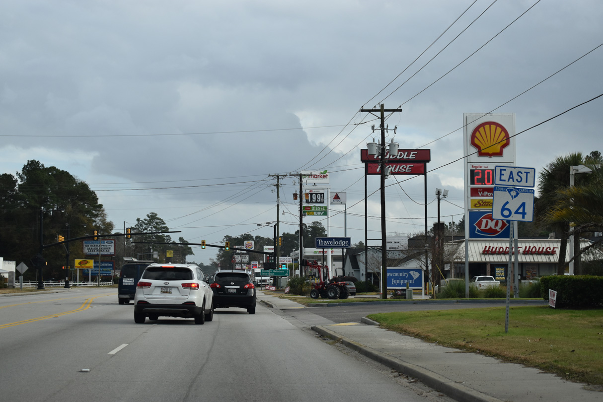
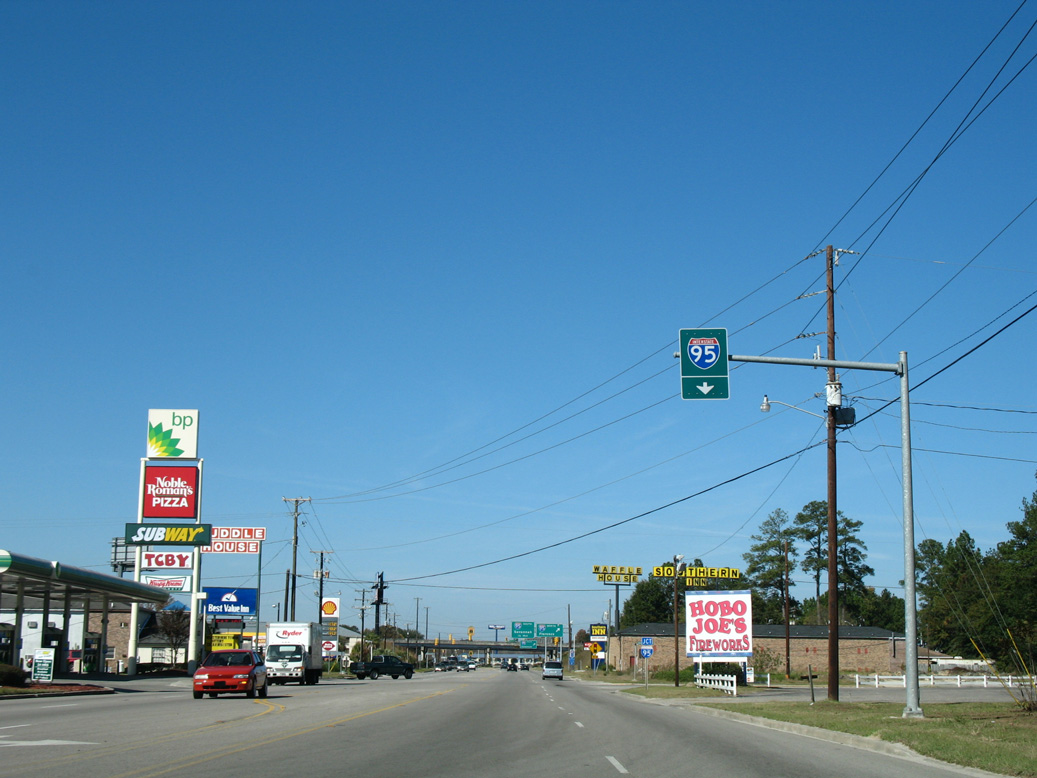
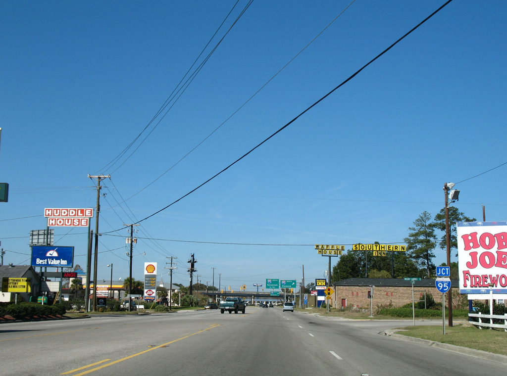
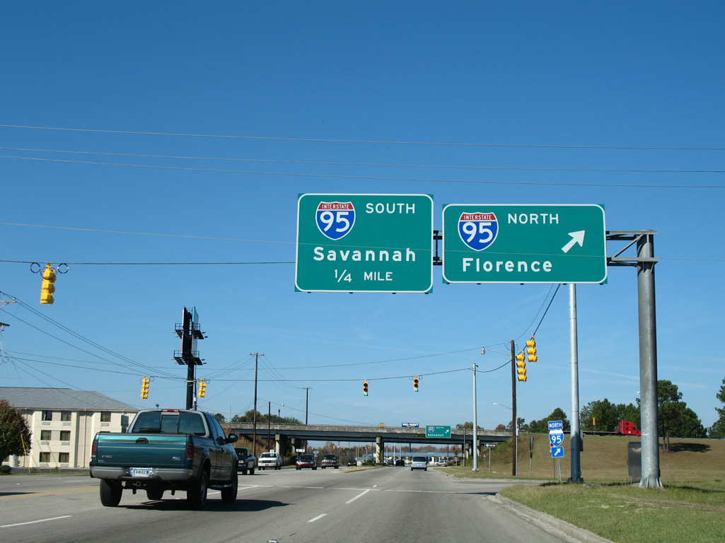
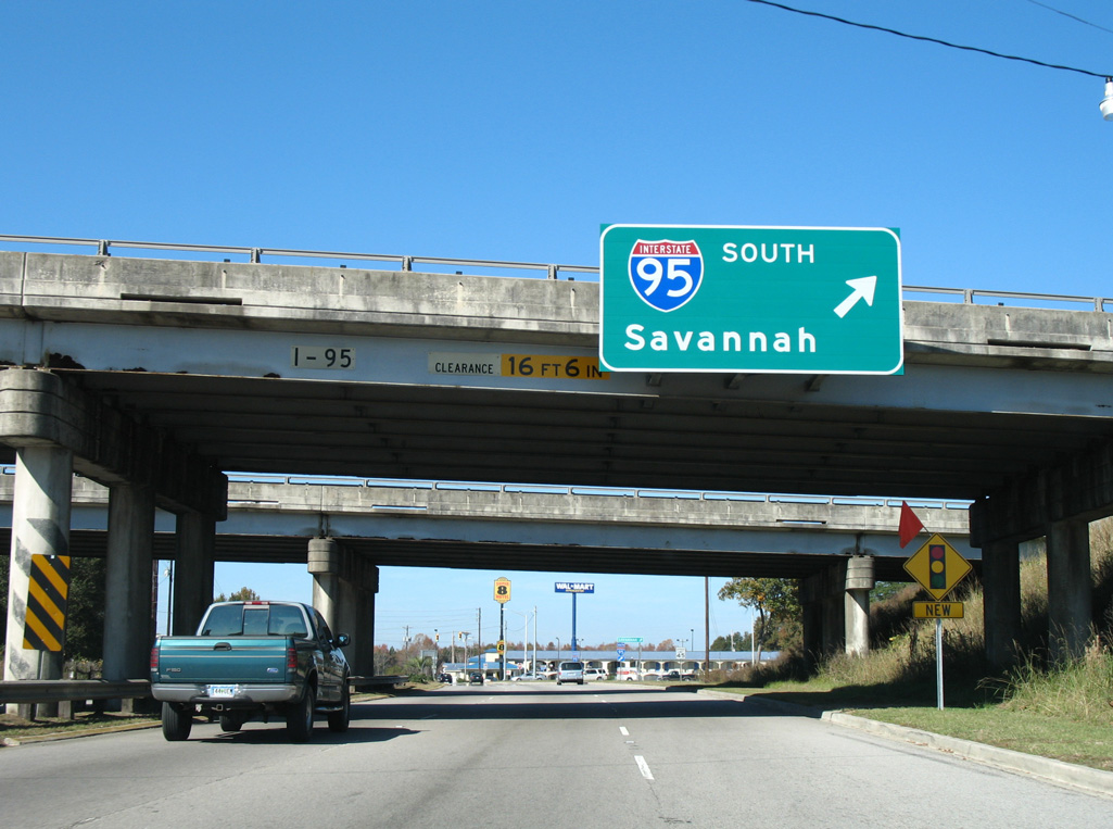
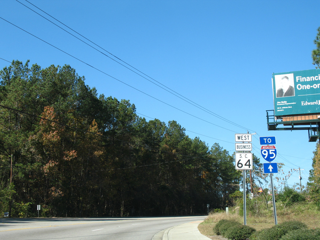
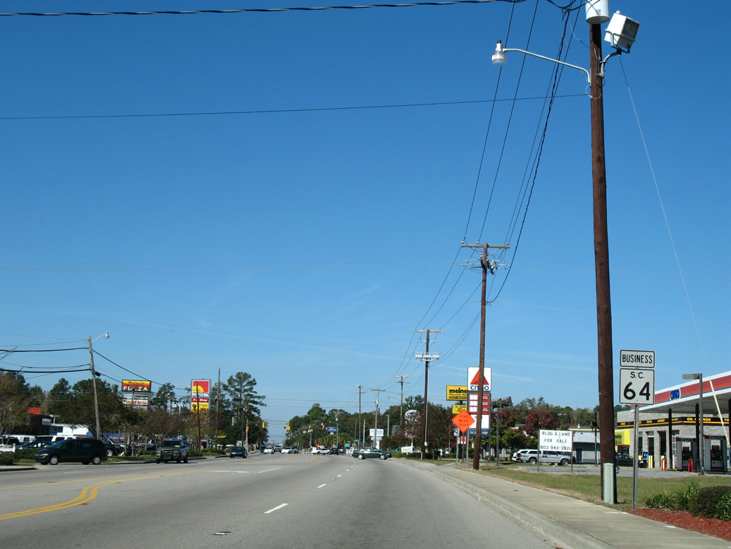
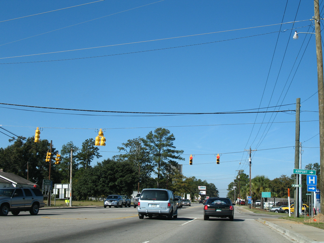
Following Bells Highway, S.C. 64 travels southeast to U.S. 21 (Low Country Highway) at Bells Crossroads and into the city of Walterboro at Interstate 95. Through Walterboro, S.C. 64 partitions with the main route circumventing the city along Robertson Boulevard to Lowcountry Regional Airport (RBW) and S.C. 64 Business leading to Downtown along a 2.66 mile long loop.
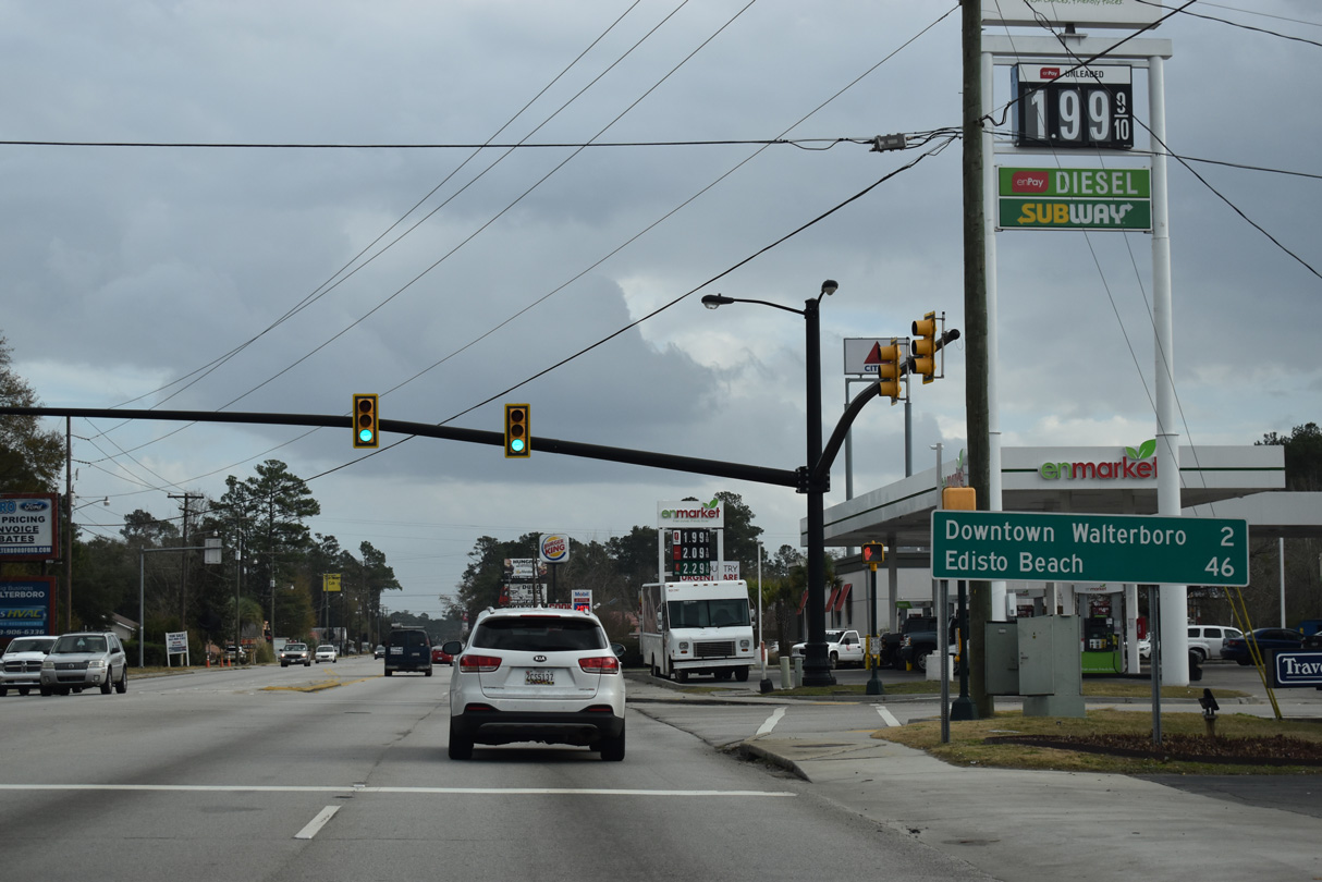
Leaving Walterboro along Hampton Street, S.C. 64 proceeds southeast along Charleston Highway to Pringle Bend, Neyles and U.S. 17 (Ace Basin Parkway) at the unincorporated community of Jacksonboro.
S.C. 64 following the eventual route of U.S. 17 ALT between Walterboro and Moncks Corner in 1942.
Historically S.C. 64 traveled east from Walterboro to Cottageville and Summerville, and north to U.S. 52 at Moncks Corner. This route was eventually lengthened eastward over portions of S.C. 179 to Jamestown and S.C. 528 to U.S. 521 at Sampit. West of Barnwell, S.C. 64 continued to Dunbarton and with what was MSR 28 northwest from Ellenton to Beach Island. U.S. 17 Alternate was established with approval by the American Association of State Highway Officials (AASHO) on May 3, 1951, The route replaced all of S.C. 64 east from U.S. 15 in Walterboro to U.S. 521 west of Georgetown.
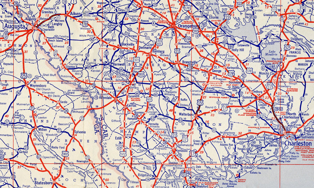
S.C. 64 truncated east to Walterboro and overlapped northwest with MSR 28 in 1952.
S.C. 64 was subsequently rerouted over what was S.C. 63 southeast from Walterboro to Jacksonboro, and truncated east to Snelling with the establishment of the Department of Energy Savannah River Site. A South Carolina Department of Highways proposal to extend U.S. 278 southeast from Augusta, Georgia to U.S. 17 at Jacksonboro incorporated all of S.C. 64 from Barnwell eastward. This application for U.S. 278 was denied by AASHO on July 19, 1955, due to the route generally serving local traffic, because it used several narrow bridges and paralleled an existing U.S. route between the same two control points (U.S. 78 between North Augusta and Charleston). U.S. 278 was eventually approved along a more southerly route from North Augusta to Hilton Head Island in 1964.
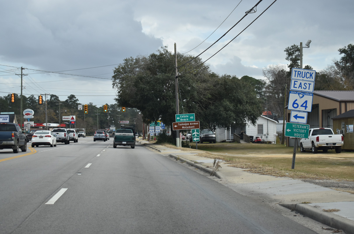
 East
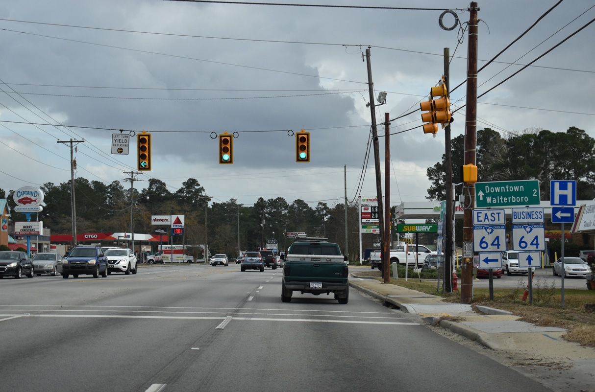
East
12/30/20
12/30/20
12/30/20
12/30/20
12/30/20
12/30/20
12/30/20
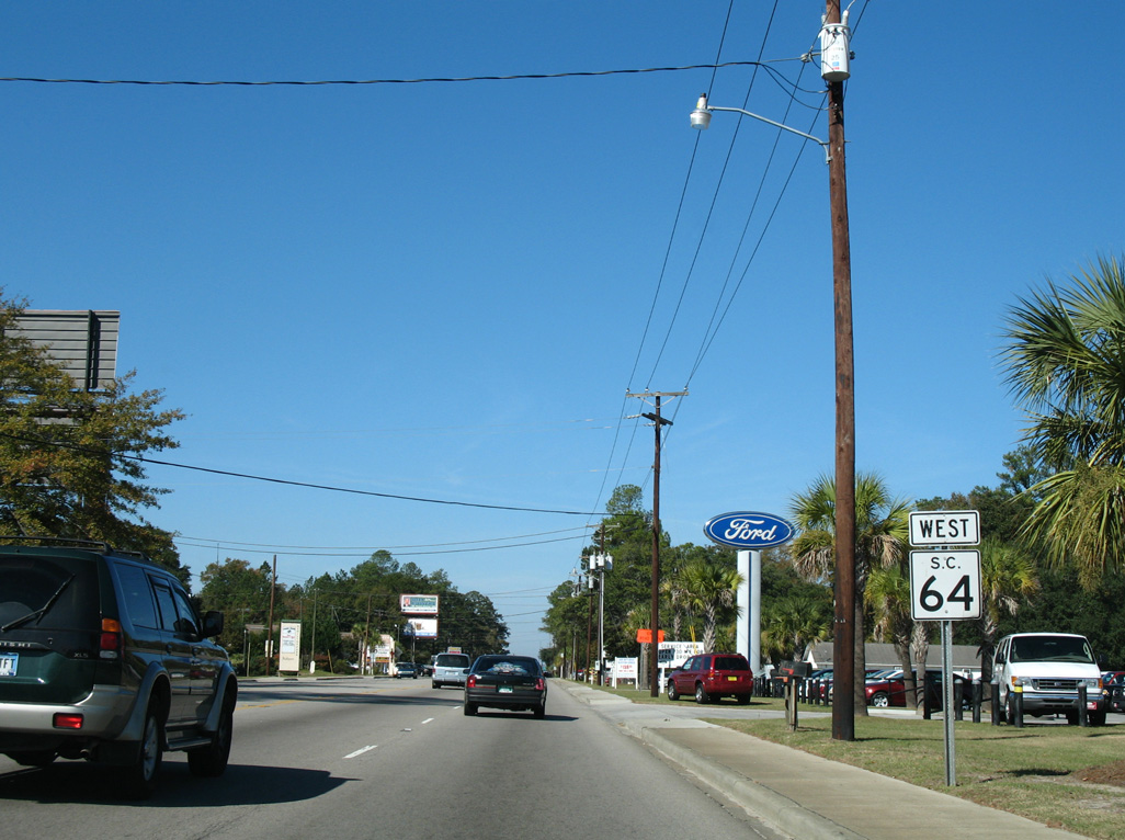
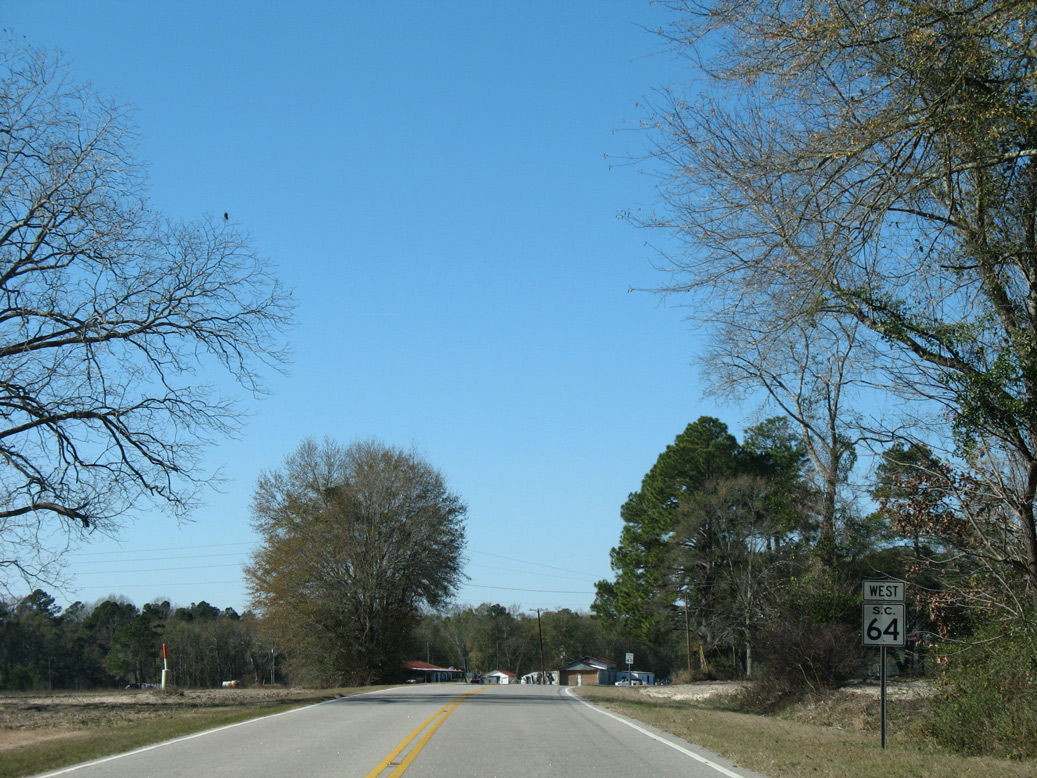
West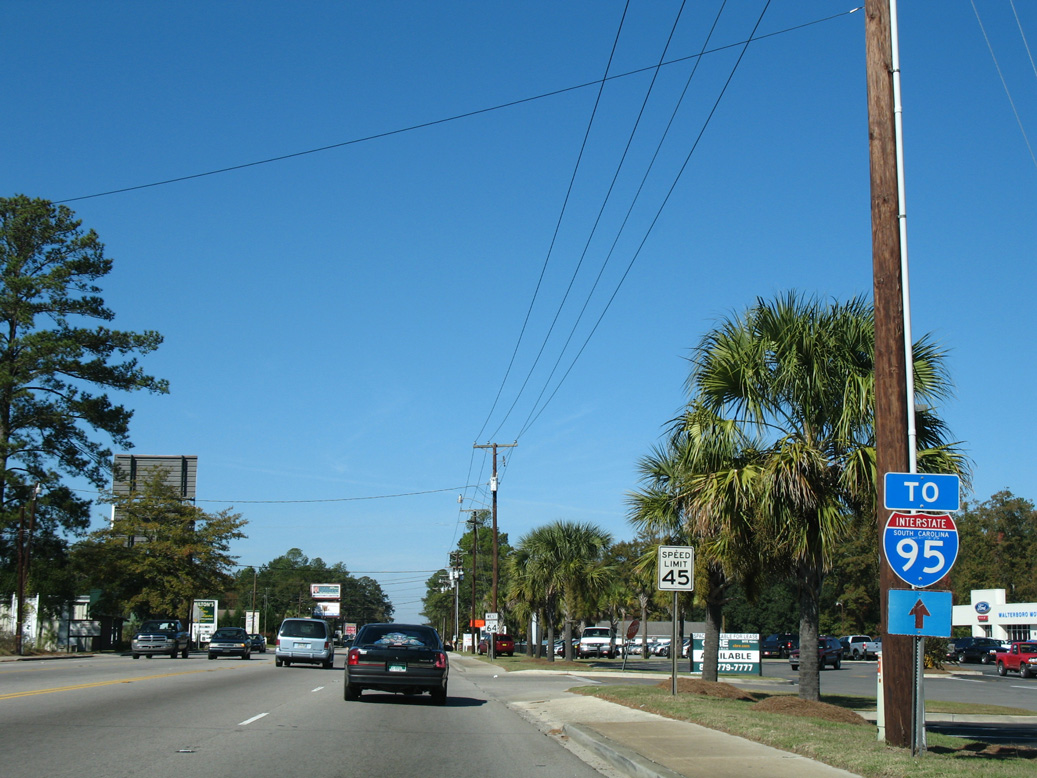
11/13/06
11/13/06
11/13/06
11/13/06
11/13/06
11/13/06

11/13/06
01/02/08
01/02/08

01/02/08
01/02/08
01/02/08
01/02/08
01/02/08
01/02/08
01/02/08
01/02/08
01/02/08
01/02/08
01/02/08
01/02/08
01/02/08
01/02/08
01/02/08
 East
East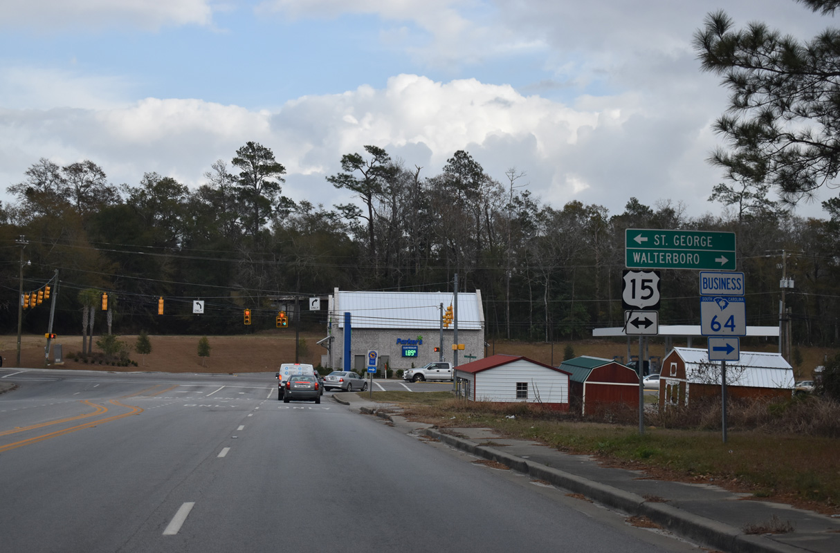
12/30/20
West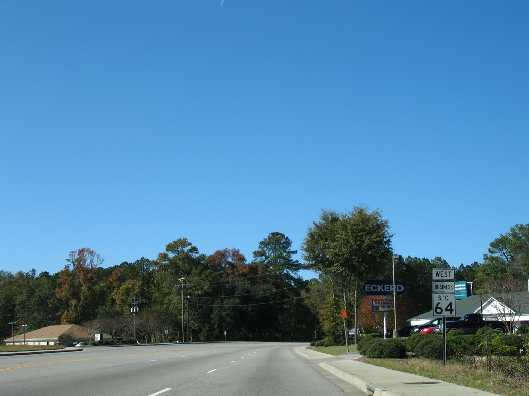
11/13/06
11/13/06
11/13/06
11/13/06
Photo Credits:
- Alex Nitzman: 01/02/08, 12/30/20
- Alex Nitzman, Justin Cozart: 11/13/06
Connect with:
Page Updated Friday March 11, 2022.