
Highway 217
South Carolina Highway 217 connects S.C. 64 in the town of Lodge in Colleton County with S.C. 61 east of Smoaks. Following a combination of Lodge Highway, War Eagle Road through Bamberg County, and Sunrise Road east of U.S. 21, the rural highway measures 15.39 miles in length.
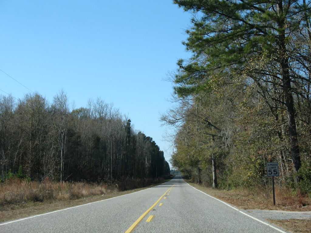
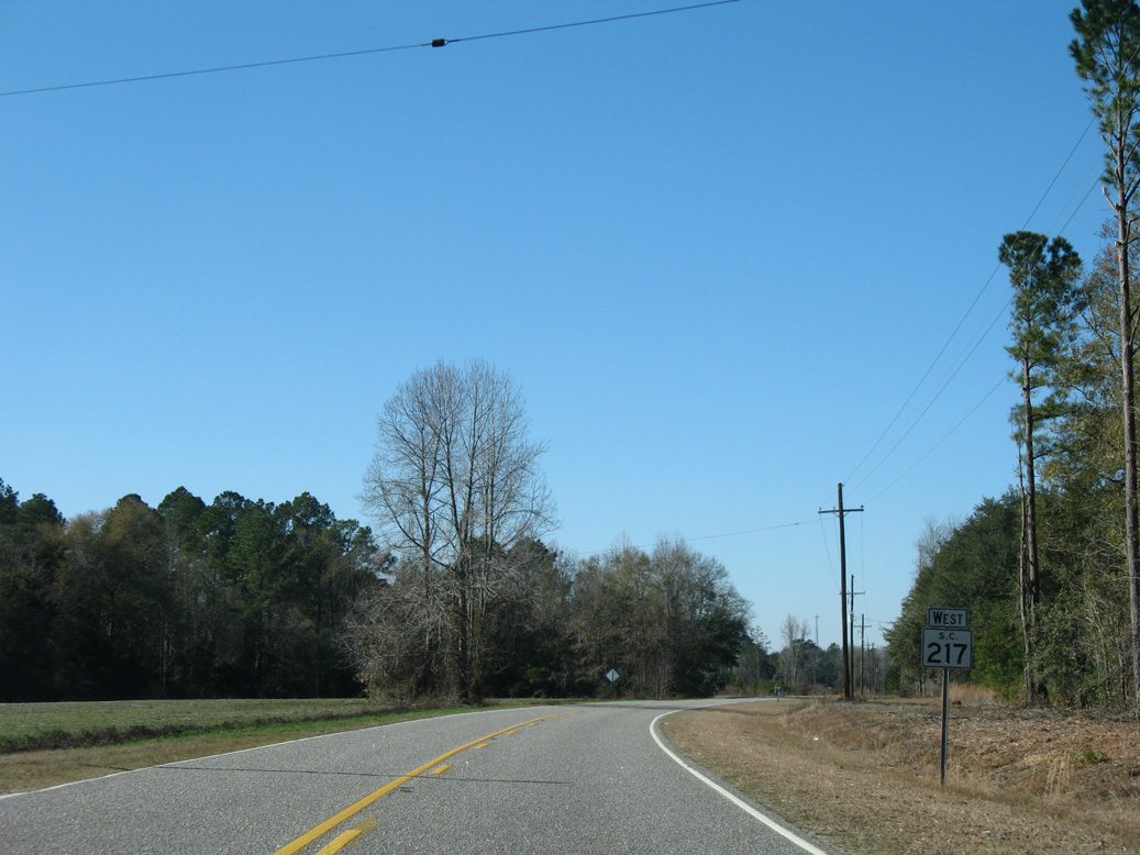
The westbound beginning of S.C. 217 along Sunrise Road is unmarked.
01/03/08
01/03/08
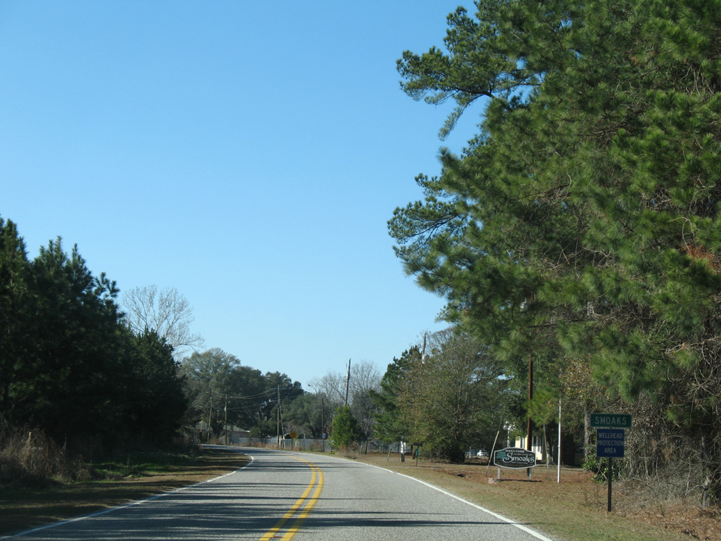
S.C. 217 (Sunrise Road) west at the town of Smoaks.
01/03/08
01/03/08
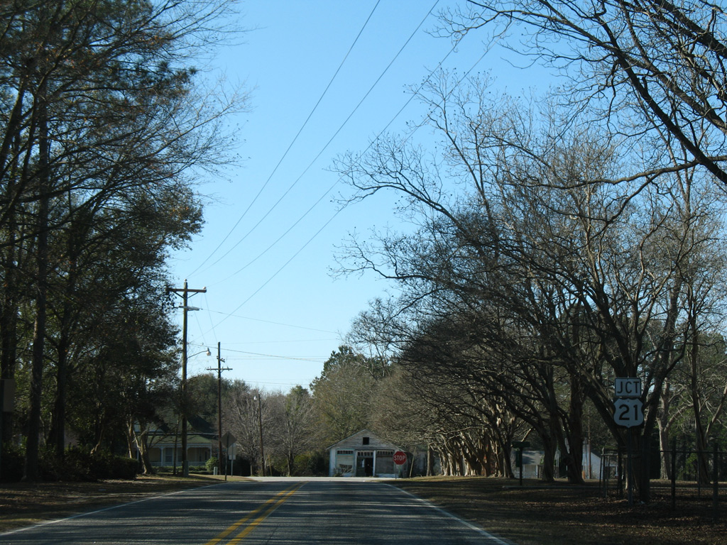
S.C. 217 meets U.S. 21 (Low Country Highway) at a staggered intersection in Smoaks. U.S. 21 heads south to U.S. 17 ALT en route to Yemassee.
01/03/08
01/03/08
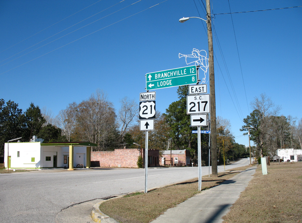
U.S. 21 continues north from S.C. 217 (Lodge Highway) west to Branchville and Orangeburg.
01/03/08
01/03/08
Reassurance marker posted west of Mill Pond Road (Road 74) south.
01/03/08
01/03/08
Westbound Lodge Highway between Buckhead Road (Road 48) north and Priester Road (Road 524) south.
01/03/08
01/03/08
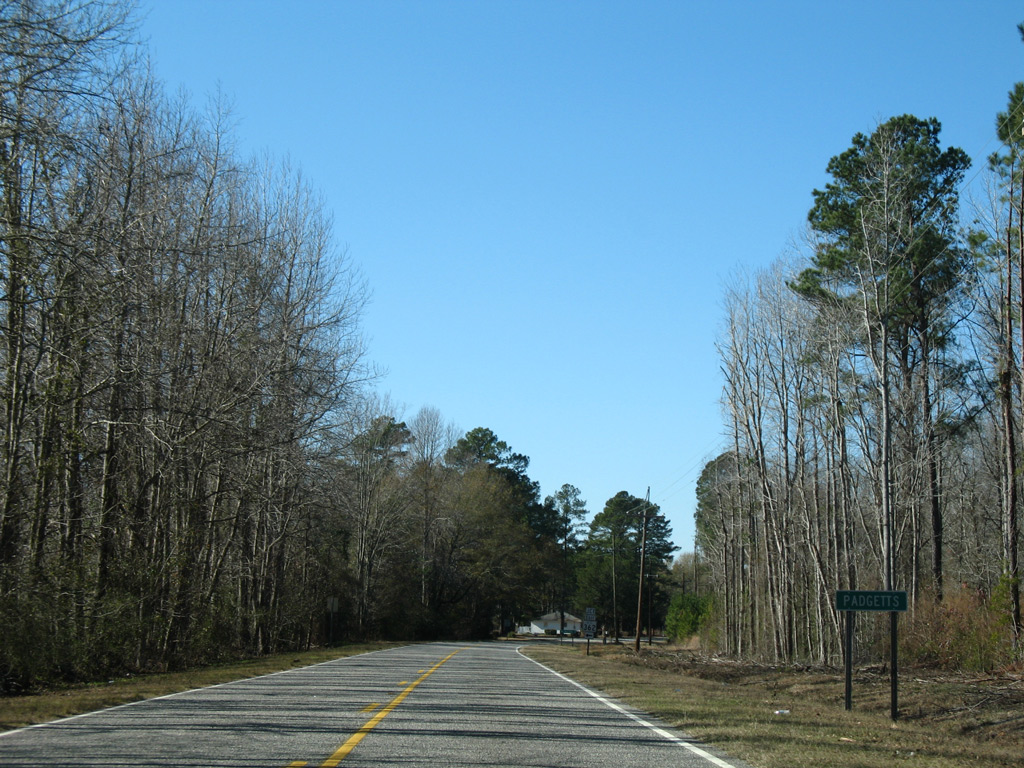
Advancing west to the rural settlement of Padgetts.
01/03/08
01/03/08

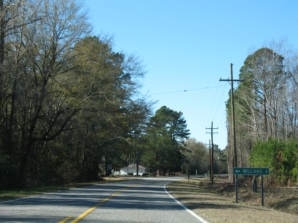
S.C. 362 (Lumber Road) originates 4.08 miles to the south of Padgetts from S.C. 212 in the town of Williams.
01/03/08
01/03/08
01/03/08
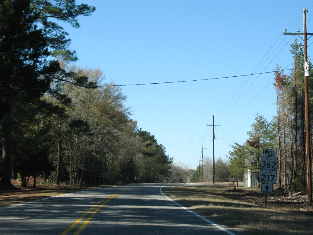
S.C. 362 combines with S.C. 217 (Lodge Highway) 0.80 miles west to the community of Little Swamp.
01/03/08
01/03/08
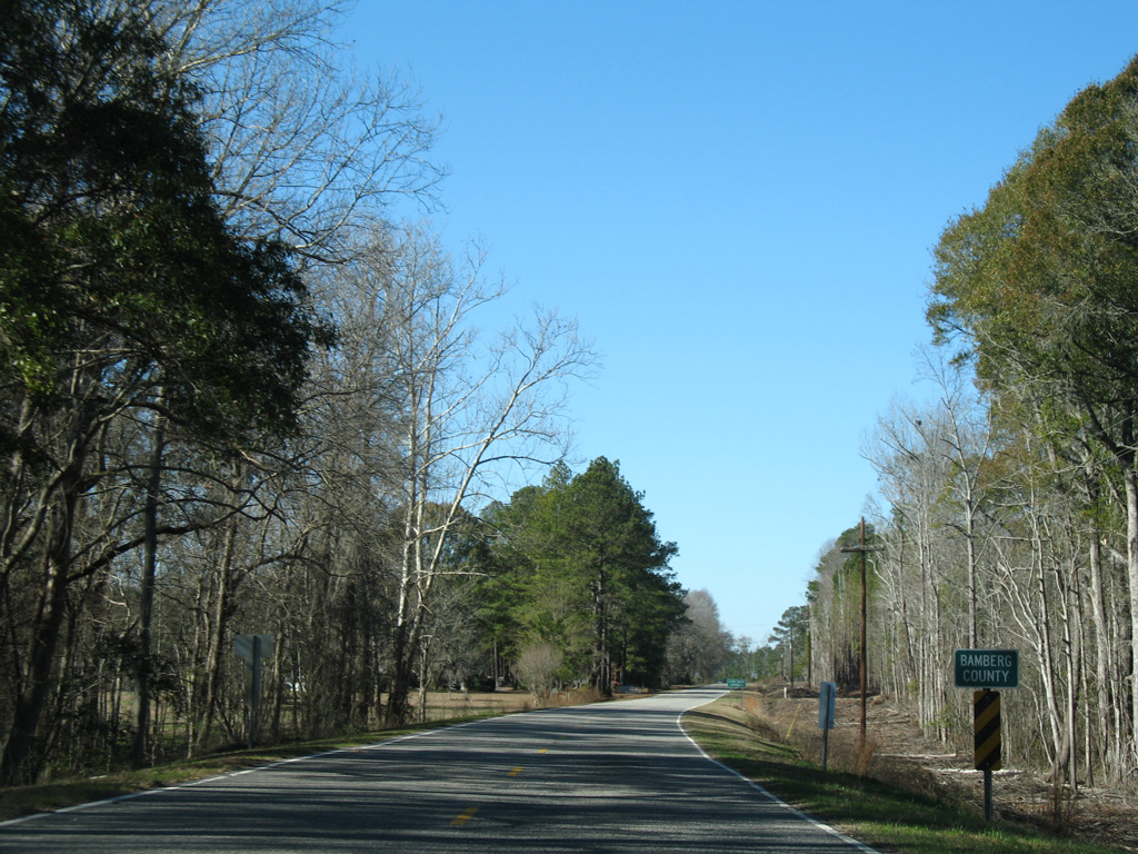
S.C. 217/361 cross Little Swamp into the southeastern notch of Bamberg County.
01/03/08
01/03/08
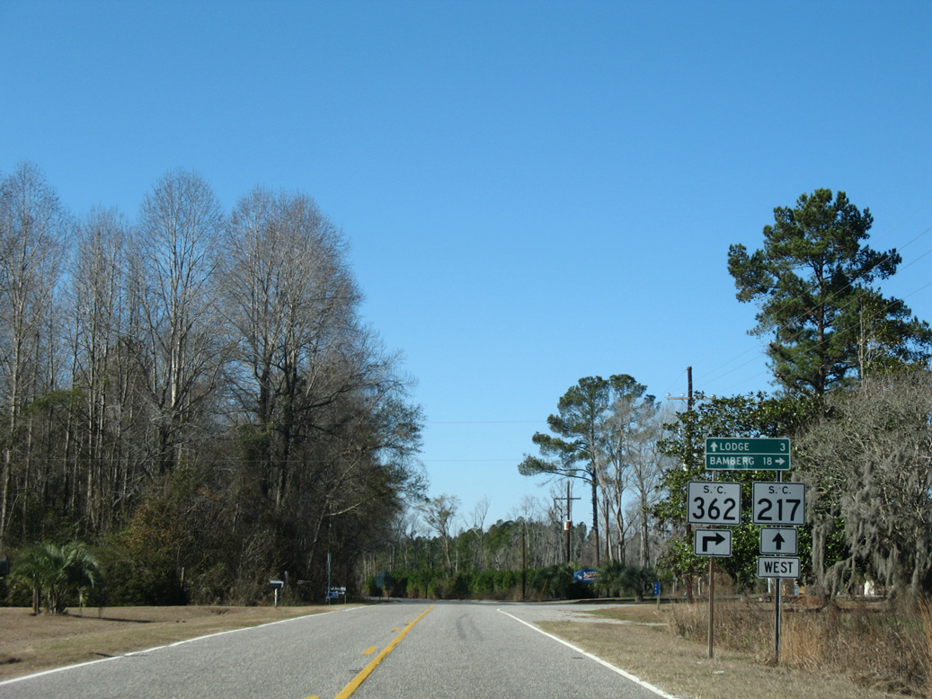
S.C. 362 (Hunters Chapel Road) branches north 18.18 miles to U.S. 78 (Heritage Highway) at Bamberg.
01/03/08
01/03/08
S.C. 217 (War Eagle Road) proceeds west from Little Swamp and S.C. 362 across the Little Salkehatchie River back into Colleton County.
01/03/08
01/03/08
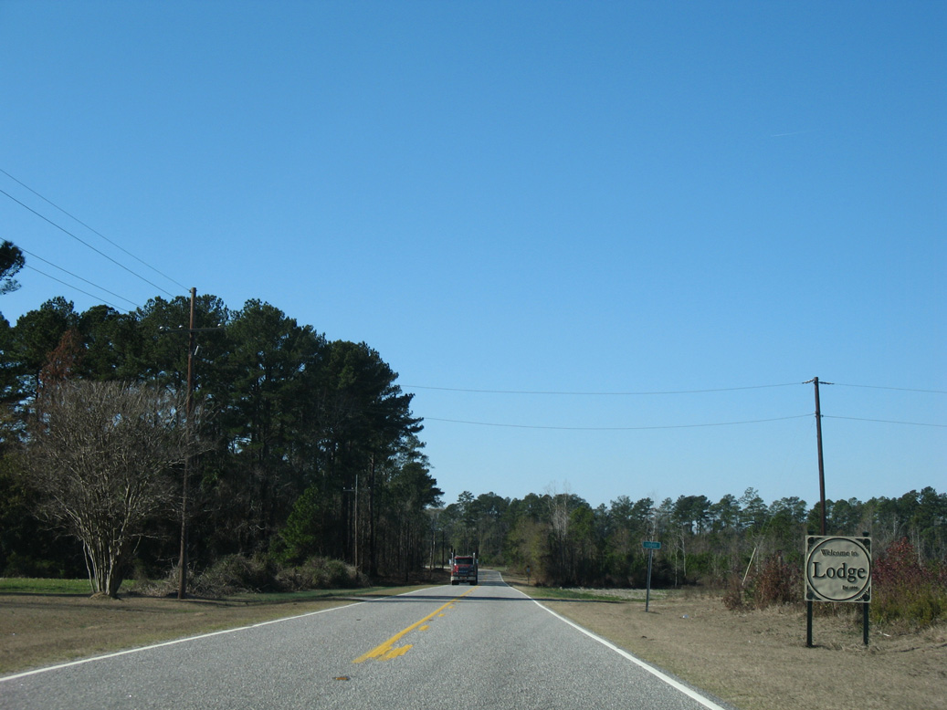
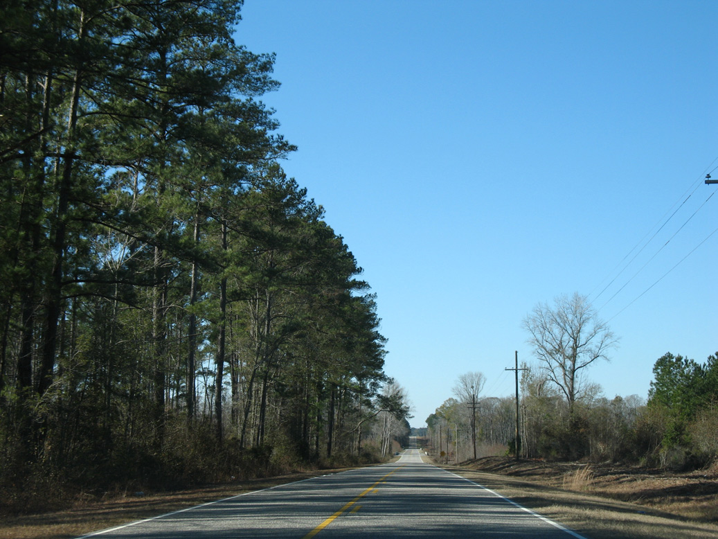
Entering the rural town of Lodge on S.C. 217 (Sunrise Road) west.
01/03/08
01/03/08
01/03/08
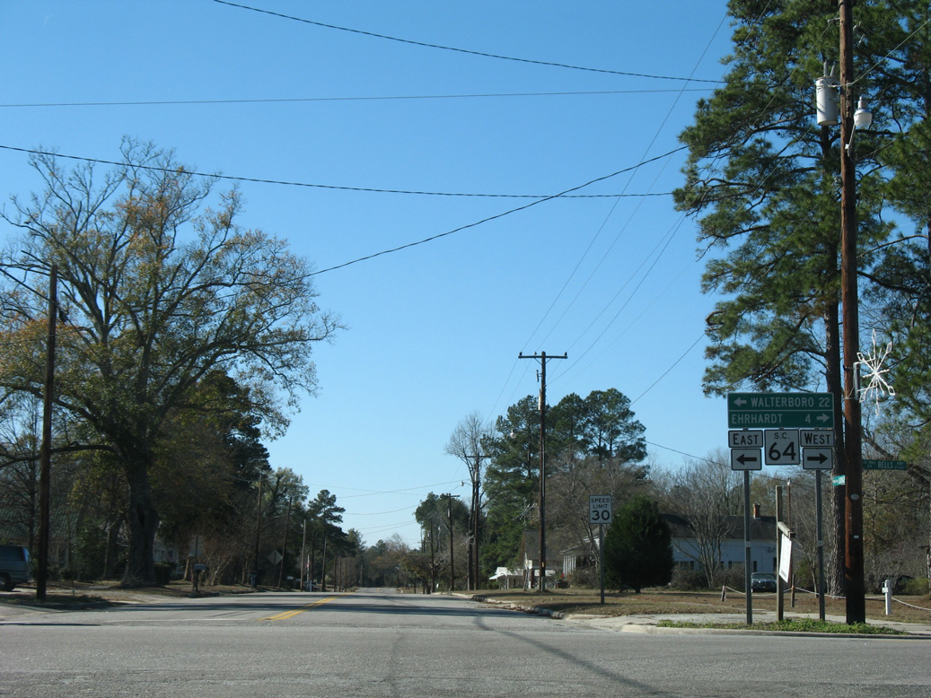
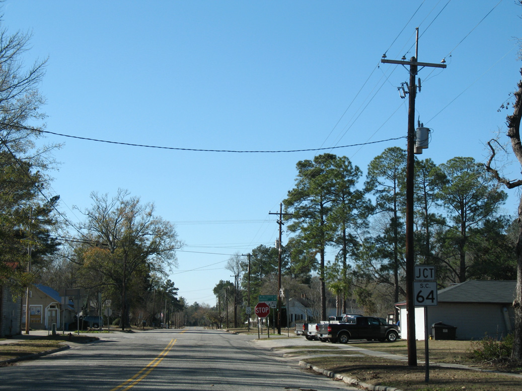
S.C. 64 (Bells Highway) travels northwest from the end of S.C. 217 to Ehrhardt and Barnwell. Southeast from Lodge, S.C. 64 heads to Walterboro.
01/03/08
01/03/08
Photo Credits:
- Alex Nitzman: 01/03/08
Connect with:
Page Updated Saturday March 12, 2022.