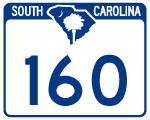
Highway 160
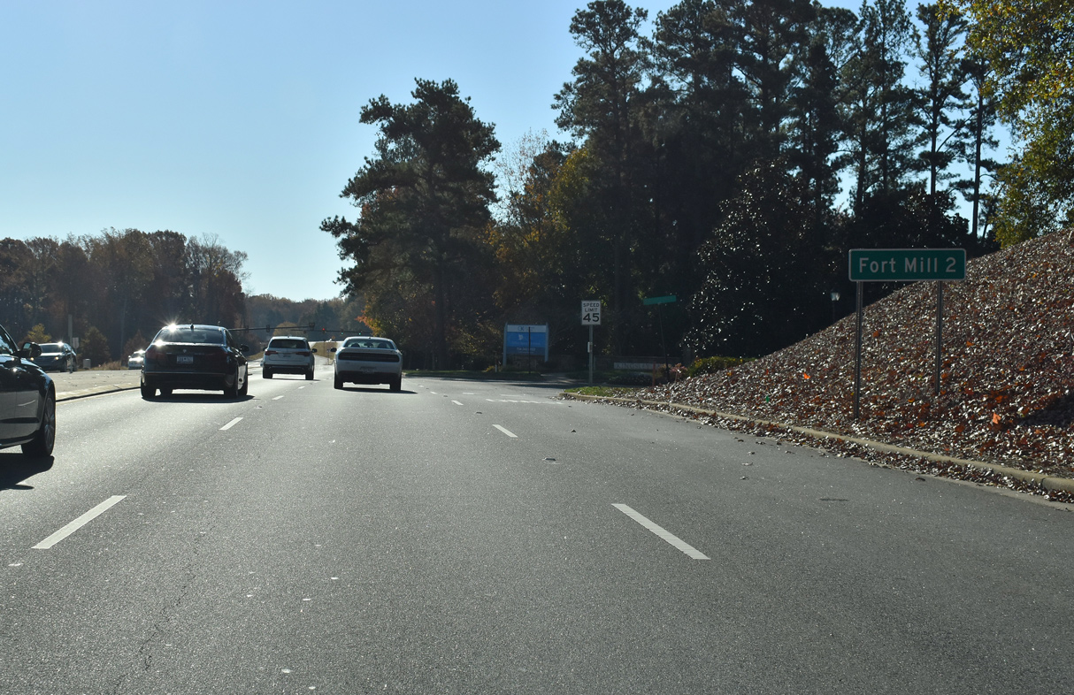
Forming a multi state route with NC 160, S.C. 160 forms an 11.03 mile long arc southeast from Charlotte, North Carolina to Indian Land in northern Lancaster County. S.C. 160 comprises a suburban arterial south into York County ahead of the city of Tega Cay. The commercialized route leads 3.85 miles southeast to meet Interstate 77 at Exit 85, where it enters the city of Fort Mill.
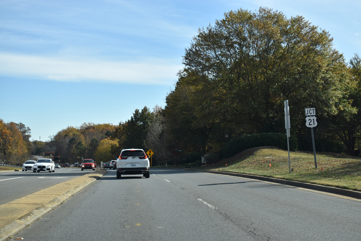
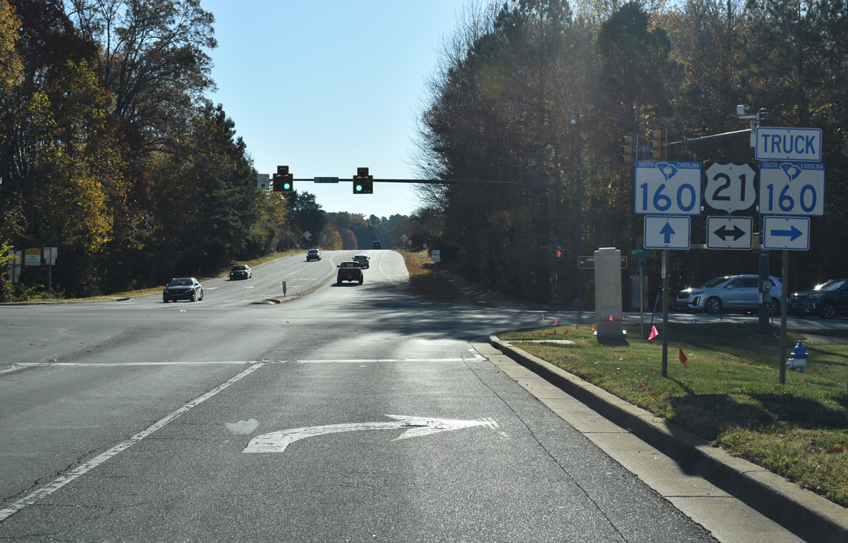
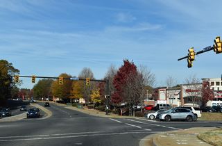
South of U.S. 21, S.C. 160 lines White Street to the Fort Mill business district. U.S. 21 Business accompanies the route for 0.39 miles to Main Street. Main Street takes S.C. 160 east to Tom Hall Street en route to the Lancaster County line across Sugar Creek. S.C. 160 continues along Fort Mill Highway by a mix of residential subdivisions, warehouse and distribution centers, and retail 2.72 miles to U.S. 521 (Charlotte Highway) across from Opportunity Drive.
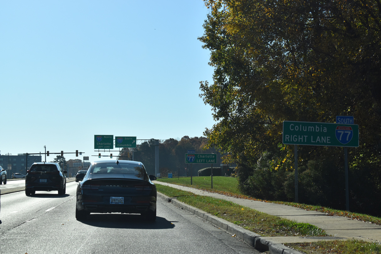
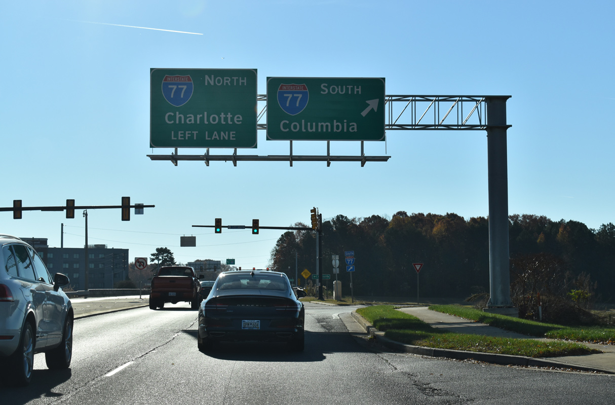
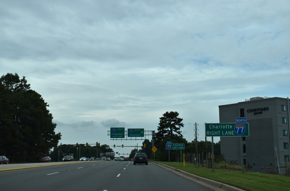
With construction commencing in 2023, the diamond interchange joining S.C. 160 with I-77 will be rebuilt into a directional interchange at an estimated cost of $73 million. The design was one of three alternatives presented at a public meeting held on January 30, 2020, the others included a DDI and a SPUI. Following 462 formal public comments, the preferred option was the directional interchange design.1 Right of way acquisition for the road work commenced in September 2021. Associated construction expands S.C. 160 to six lanes from Pleasant Road (Road 22) south 1.13 miles to U.S. 21.2

East
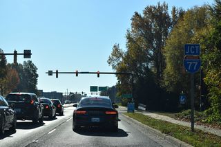
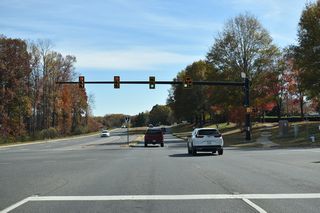
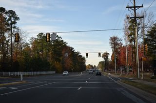
S.C. 160 east intersects Carolina Place Drive and Assembly Drive to the Baxter Town Center retail area just ahead of Interstate 77.
11/20/21
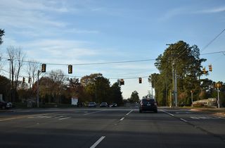
The diamond interchange joining S.C. 160 with I-77 will be upgraded to a directional interchange with all traffic to the freeway departing from eastbound in unison.
11/20/21

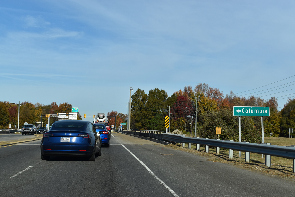
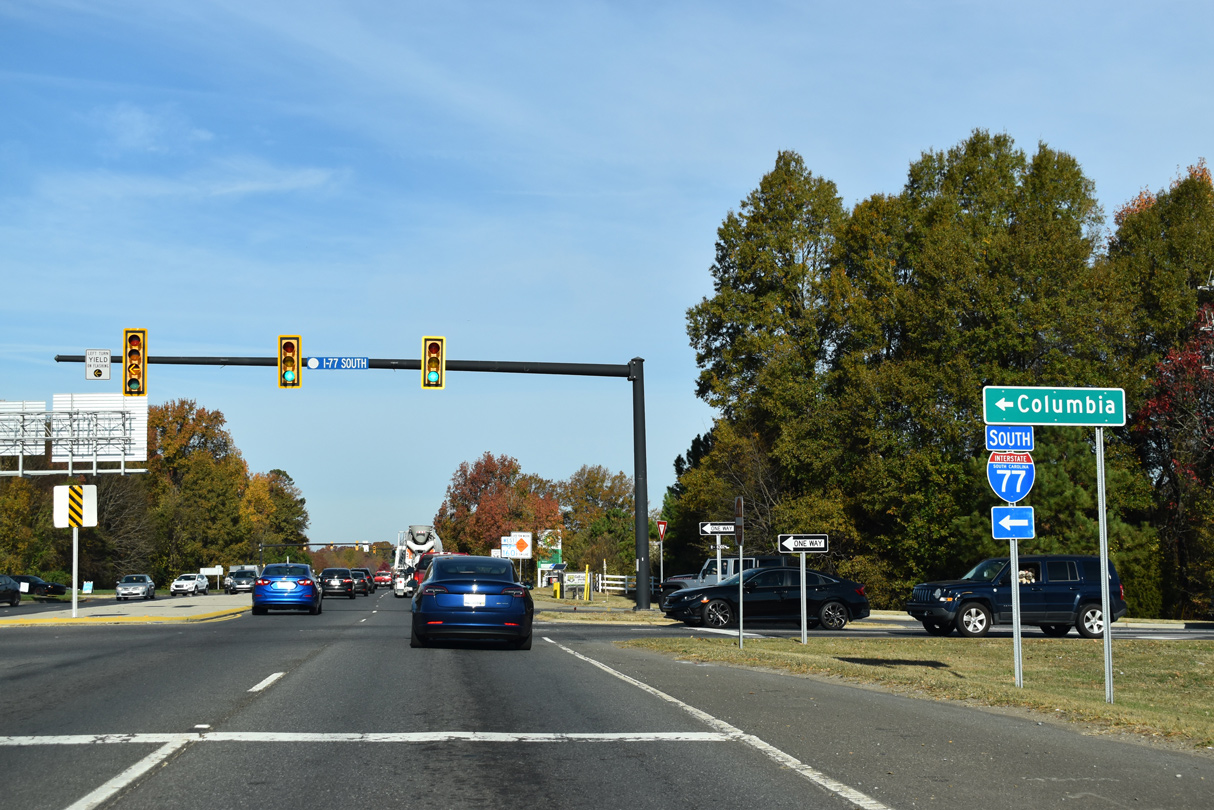
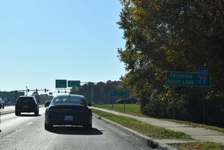
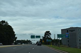
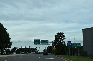
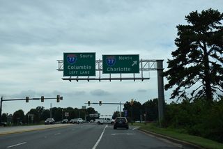
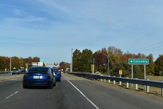
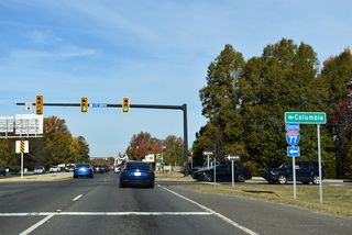
Interstate 77 heads south from Fort Mill to Rock Hill and Columbia.
11/20/21
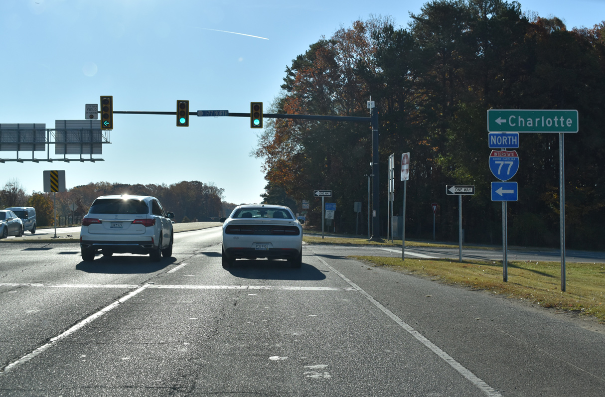
North from S.C. 160, I-77 heads to Carowinds and the city of Charlotte in North Carolina.
11/20/21
11/20/21
Construction will expand S.C. 160 to six lanes from the exchange with I-77 to U.S. 21.
11/20/21
11/20/21
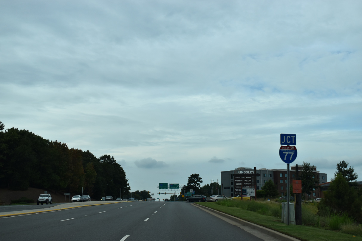
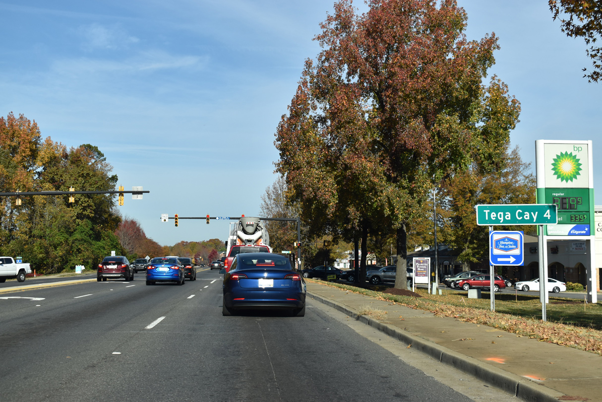
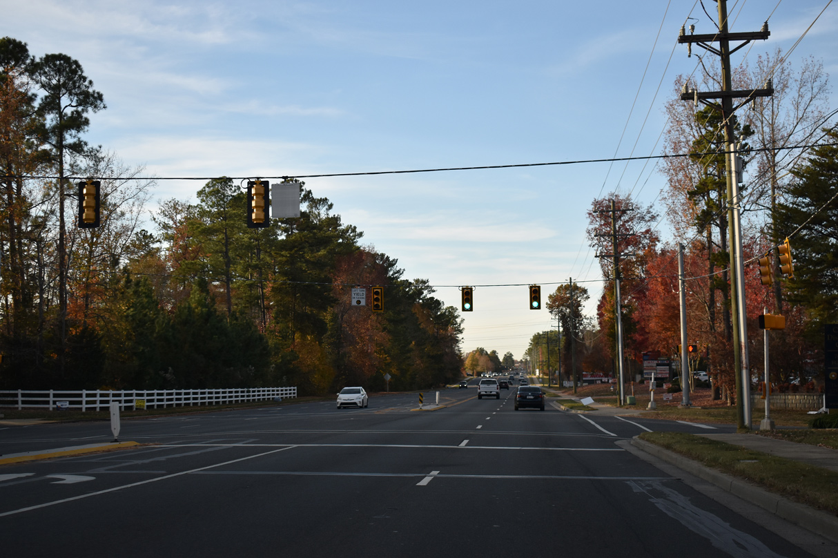
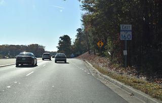
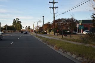
S.C. 160 east at Munn Road (Road 648) south and Kingsley Springs Boulevard north.
11/20/21
11/20/21

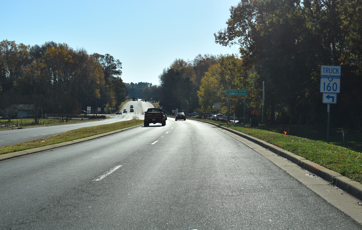
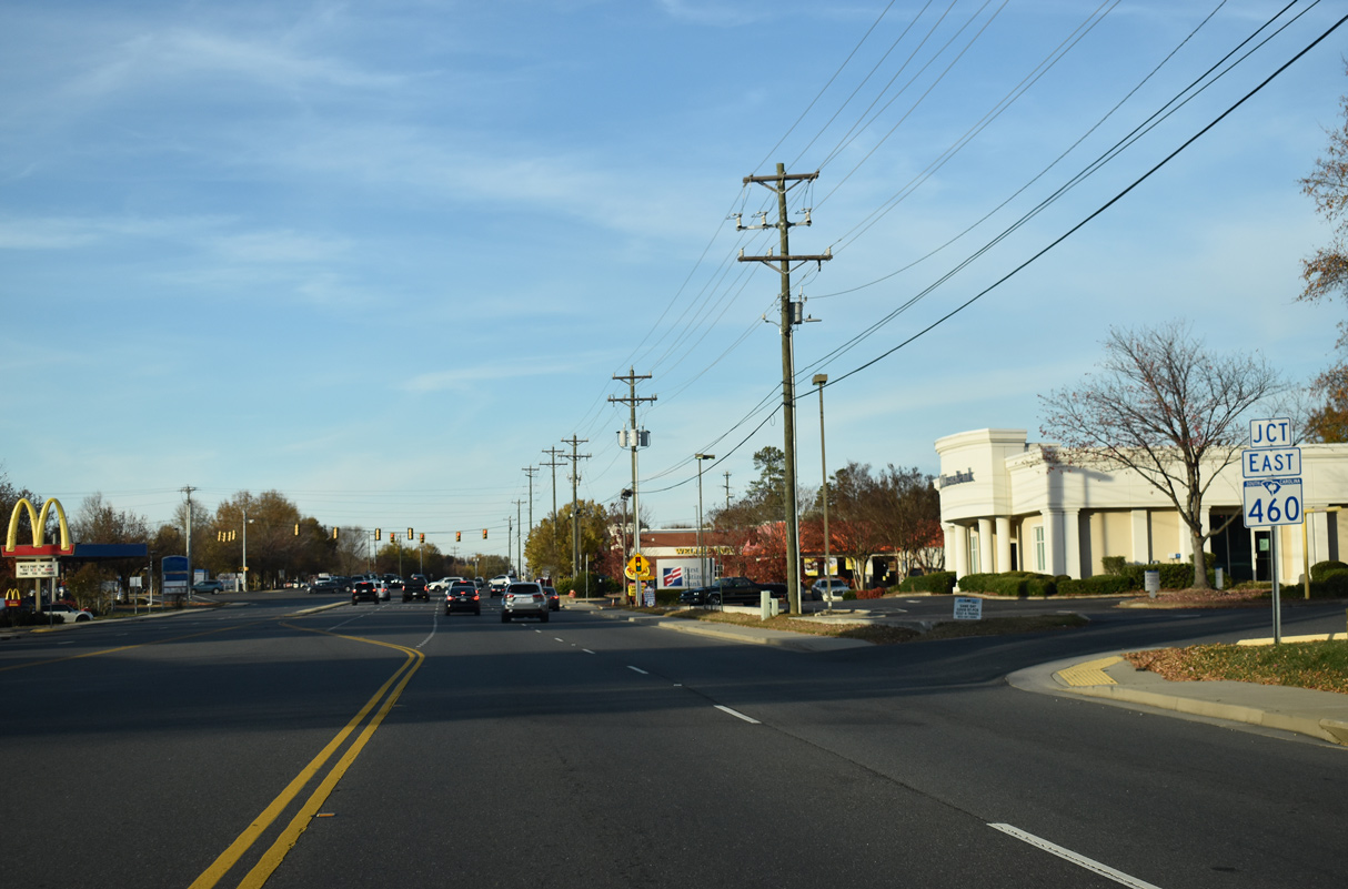
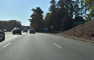
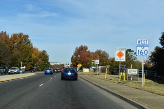
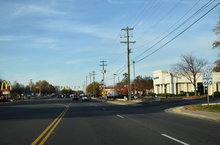
The Truck Route for S.C. 160 circumvents Fort Mill alongside U.S. 21 north and S.C. 460 (Springfield Parkway) south.
11/20/21
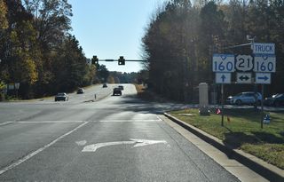
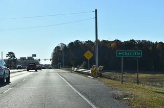
U.S. 21 bypasses Fort Mill to the west.
11/20/21
West

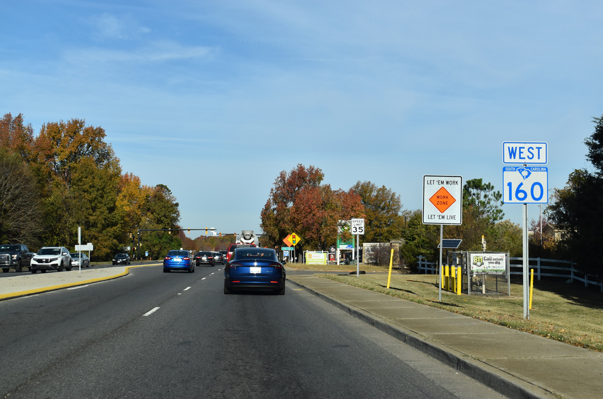
S.C. 160 leads northwest from U.S. 21 to Interstate 77 beyond the Kingsley Park commercial area.
09/16/21
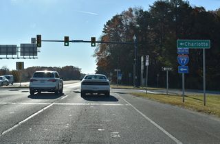
Construction starting in 2023 replaces the diamond interchange with I-77 into a directional interchange.
09/16/21
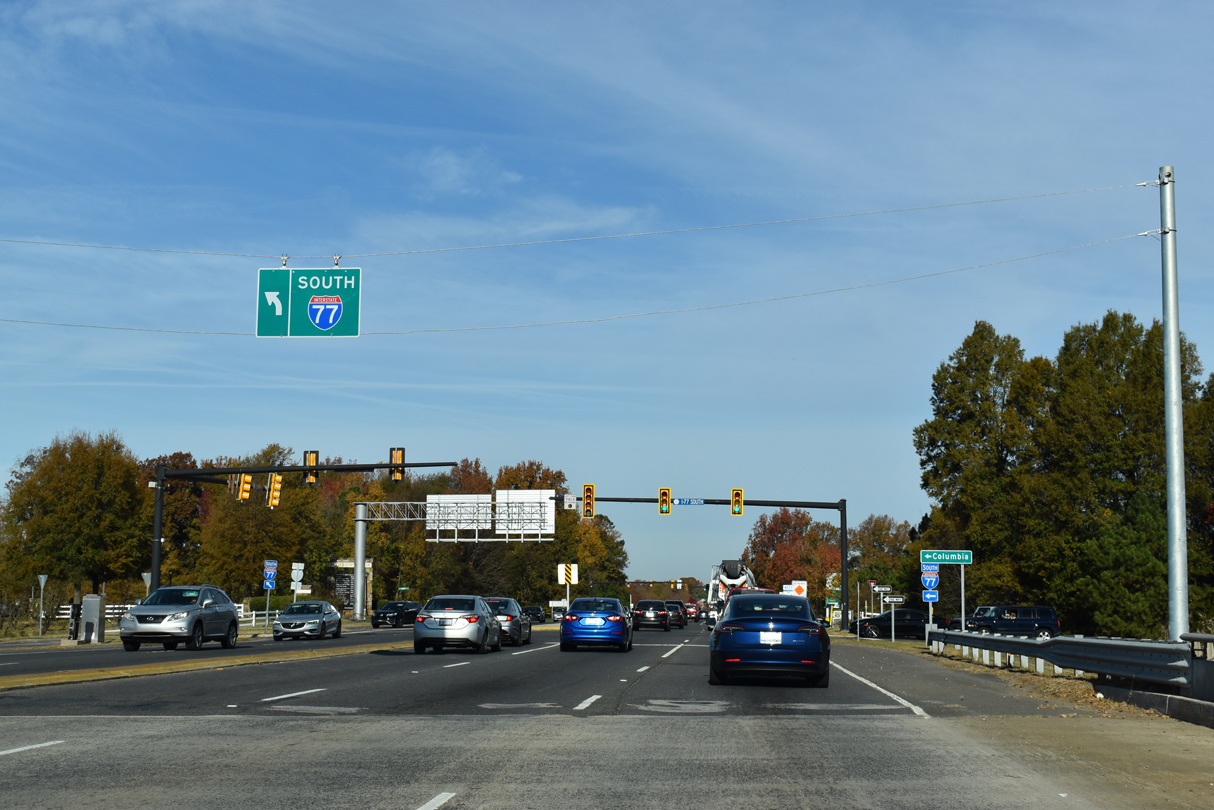
A loop ramp will replace the signalized left turn joining S.C. 160 west with Interstate 77 south.
09/16/21
Interstate 77 is a heavily traveled commuter freeway between Rock Hill and Charlotte, North Carolina.
09/16/21
11/20/21

11/20/21
11/20/21
11/20/21

11/20/21
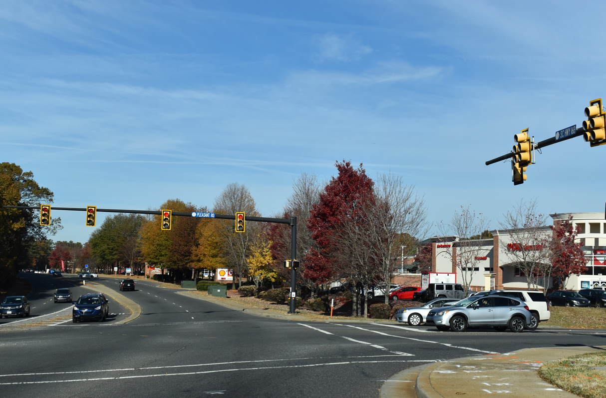
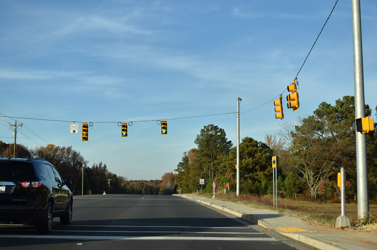
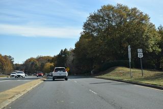
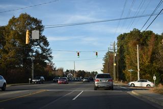
Sutton Road (Road 49) north and Pleasant Road (Road 22) south come together at the succeeding traffic light on S.C. 160 westbound.
11/20/21
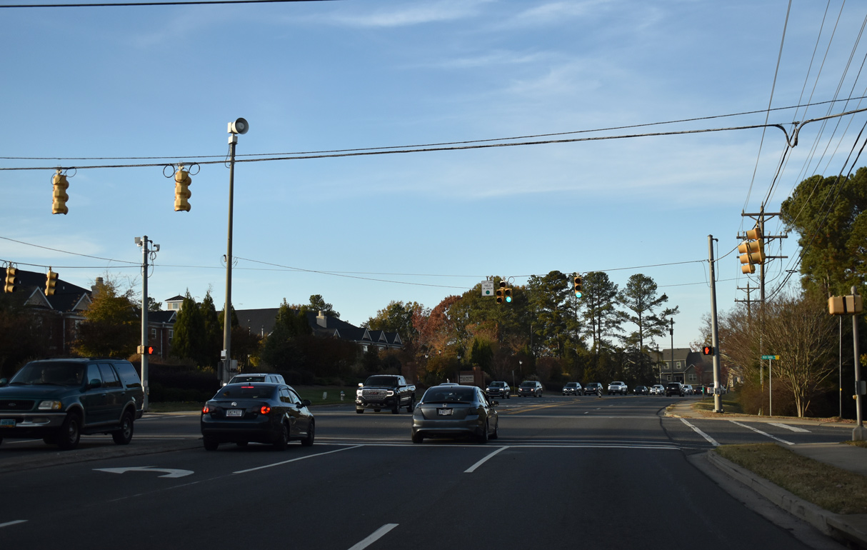
Traffic lights were added at the intersection joining S.C. 160 with Catawba Distribution Center and Front Street to the Baxter Village development by 2021.
11/20/21
Traffic lights operate at Emory Lane to the Brayden subdivision and Dave Gibson Boulevard to to Gibson Office & Medical Park.
11/20/21
S.C. 160 advances north to the Tega Cay city limits at Dam Road (Road 99).
11/20/21

S.C. 160 west at Stonecrest Boulevard west into Tega Cay and Old Tara Lane east to the Tara Plantation subdivision.
11/20/21
Vandora Springs Road stems east from S.C. 160 to the Fieldstone, Millcrest Park and Waterstone residential developments.
11/20/21
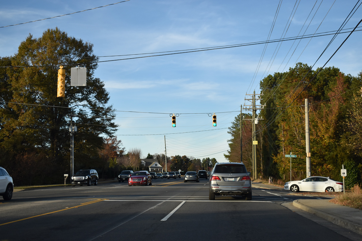
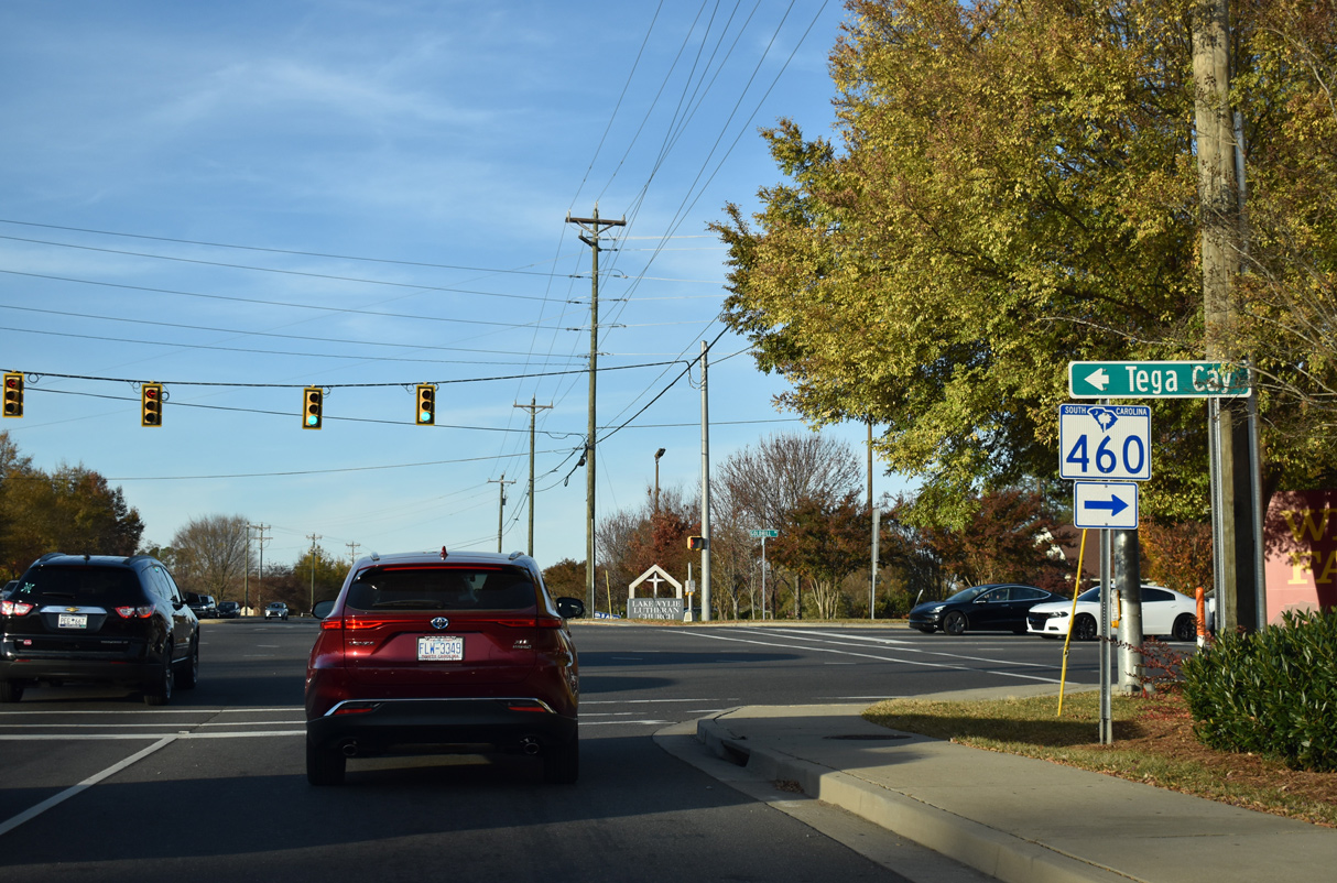
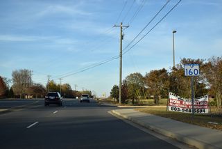
S.C. 160 meets the west end of S.C. 460 (Gold Hill Road) between Tega Cay Village and Stockbridge Commons shopping centers.
11/20/21

S.C. 460 comprises a 12.47 mile long route looping east around the city of Fort Mill. Gold Hill Road (Road 98) extends 1.36 miles southwest into Tega Cay
11/20/21
11/20/21

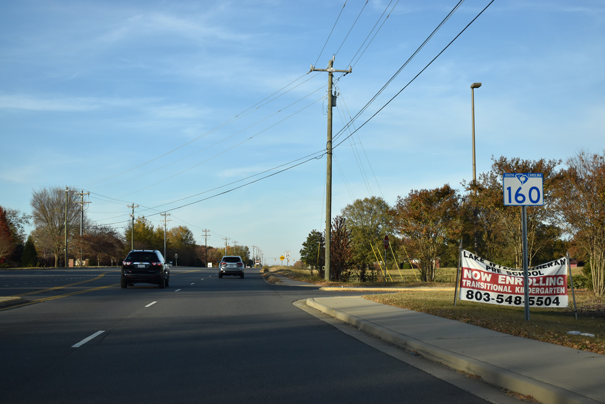
Widening of S.C. 160 north to the state line in 2020 included the addition of traffic lights at Zoar Road (Road 155) west.
11/20/21
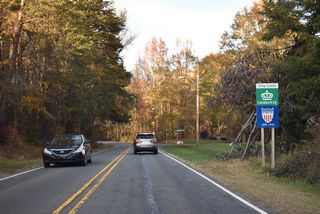
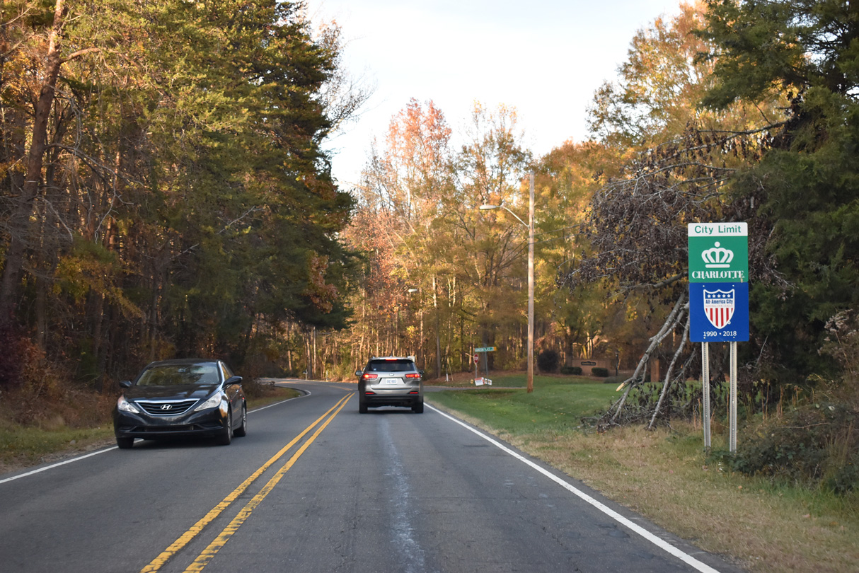
S.C. 160 west becomes NC 160 (Steele Creek Road) north at the North Carolina and Charlotte city line.
11/20/21
References:
- "The top traffic fix in the Rock Hill and Fort Mill metros just got more expensive." Herald, The: Web Edition Articles (Rock Hill, SC), June 1, 2020.
- "A Fort Mill I-77 interchange is set to open soon, plus more York County road updates." Herald, The: Web Edition Articles (Rock Hill, SC), August 19, 2021.
Photo Credits:
- ABRoads: 11/20/21
- Brent Ivy: 09/16/21
Connect with:
Page Updated Wednesday November 24, 2021.