
State Route 48


Tennessee State Route 48 constitutes a nearly 104 mile, mostly rural route from SR 13 north of Waynesville to Hohenwald, Centerville, Dickson, Charlotte and Clarksville. Within Montgomery County, the state route combines with Tennessee 13 from Cunningham northward to Downtown Clarksville. The pair turn northeast alongside the commercial arterial of U.S. 79 (Wilma Rudolph Road) to State Road, where SR 48 separates. Running north, SR 48 follows Trenton Road through hilly areas by Spring Creek before straightening out across former agricultural areas turned into suburbia to the Kentucky state line. Where SR 48 ends, KY 104 begins a 14.3 mile route to Elkton and Zion.
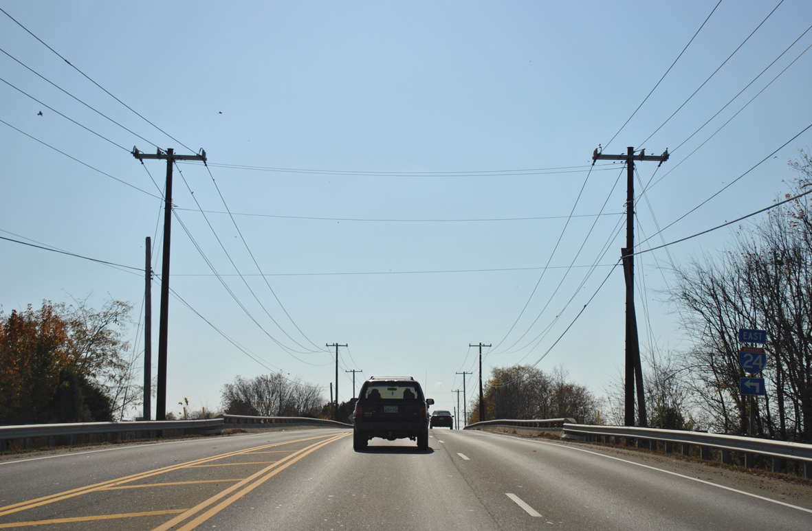
SR 48 (Trenton) crosses over Interstate 24 ahead of the westbound on-ramp toward Hopkinsville, Kentucky.
11/07/11
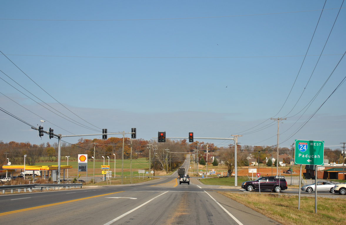
Interstate 24 leads west 89 miles from SR 48 in Clarksville to Paducah.
11/07/11
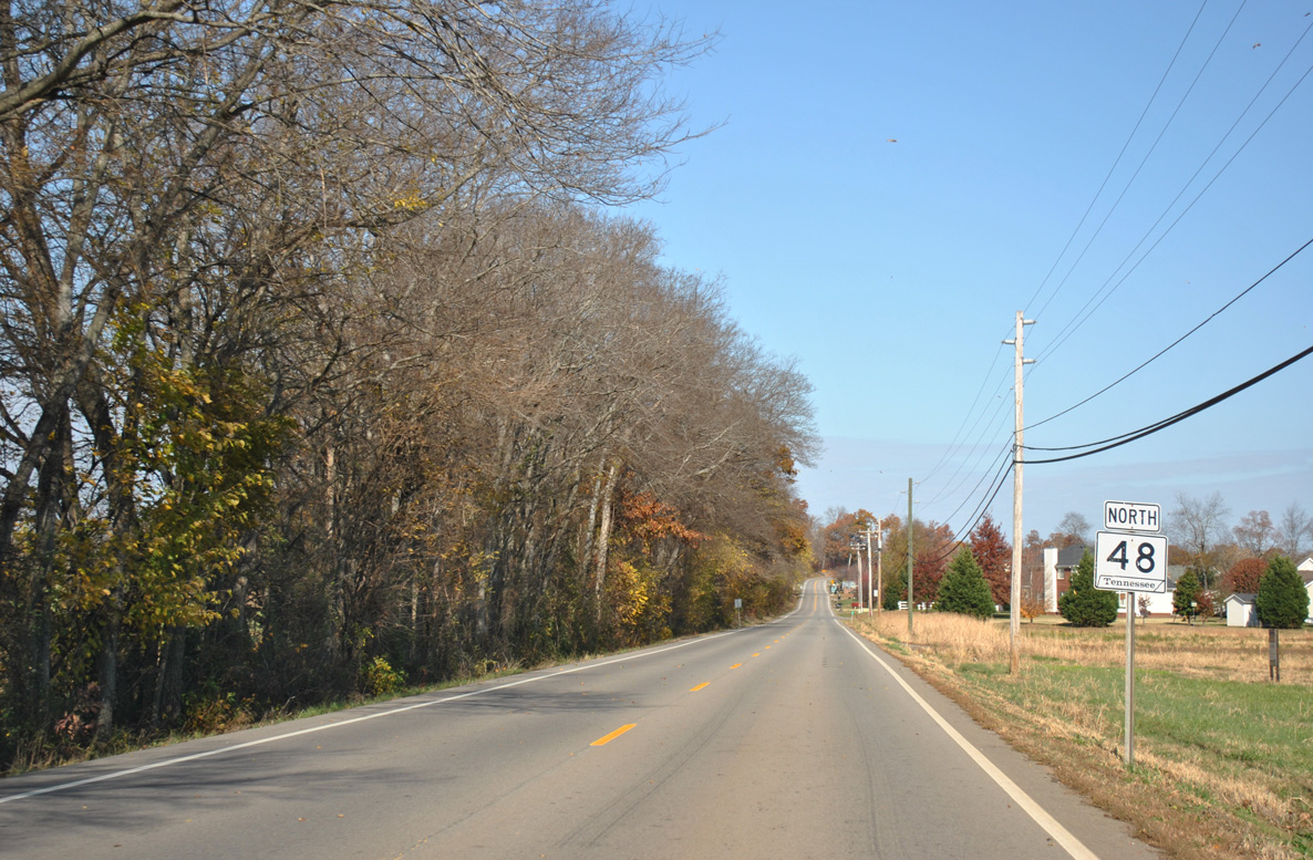
Leading away from I-24 and the intersection with Tylertown Road, motorists pass by the last reassurance marker for SR 48 north.
11/07/11
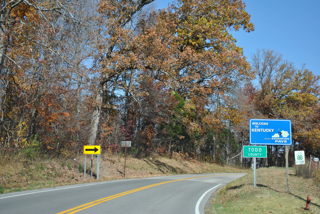
SR 48 (Trenton Road) passes by the Woodstock subdivision to end at the Todd County, Kentucky line. Kentucky 104 (Clarksville Road) extends northward across agricultural areas to Trenton.
11/07/11
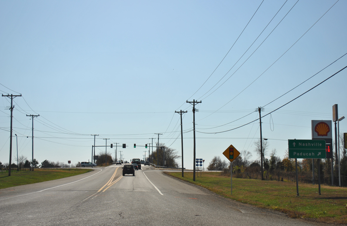
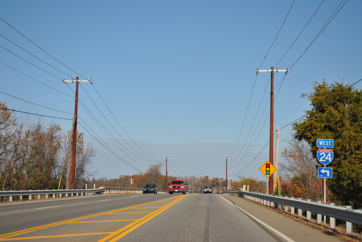
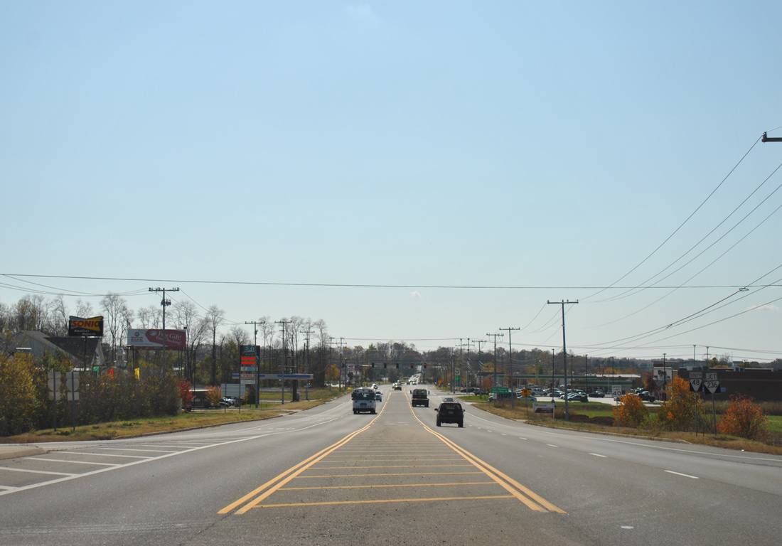
Drivers along SR 48 (Trenton Road) quickly enter the diamond interchange with Interstate 24 just beyond the intersection with Tylertown Road.
11/07/11
I-24 takes drives northwest from SR 48 toward Hopkinsville and Paducah, Kentucky.
11/07/11
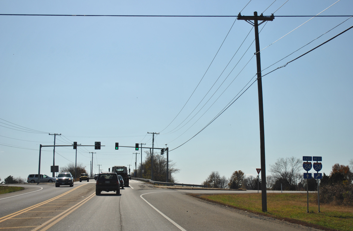
SR 48 (Trenton Road) gains a southbound lane while crossing over I-24.
11/07/11
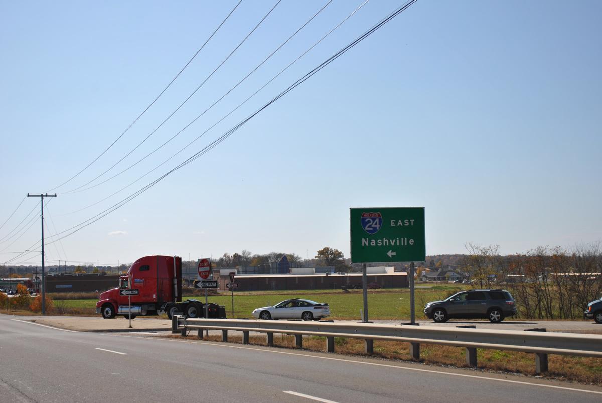
East from SR 48, I-24 runs across eastern reaches of Clarksville on the 46 mile drive to Nashville.
11/07/11
A commercialized intersection lies just south of Interstate 24 with SR 236 (Town Road) west to U.S. 41 Alternate (Fort Campbell Boulevard).
11/07/11
Photo Credits:
- ABRoads: 11/07/11
Connect with:

Page Updated Tuesday February 09, 2016.