
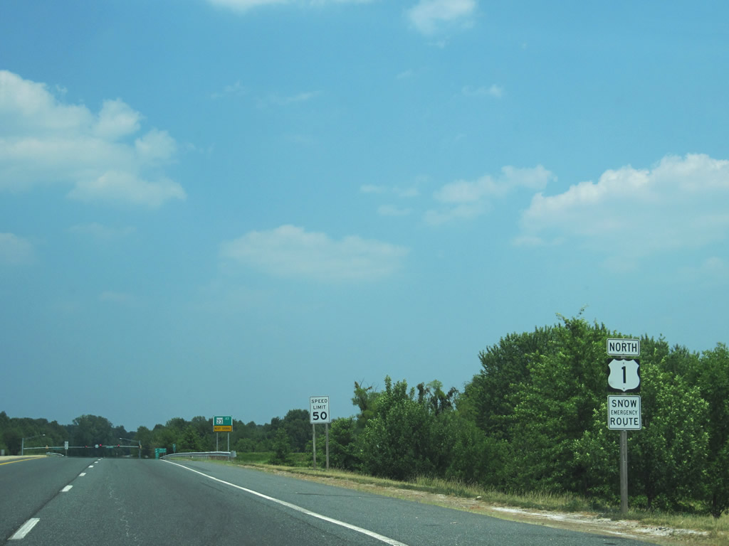
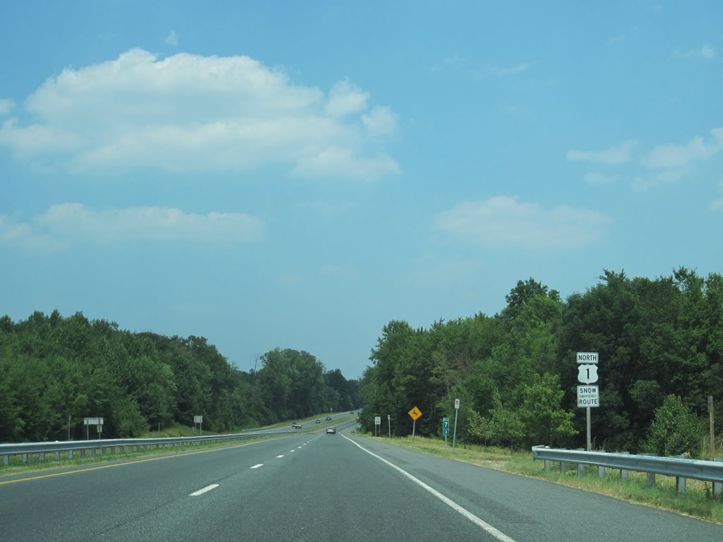
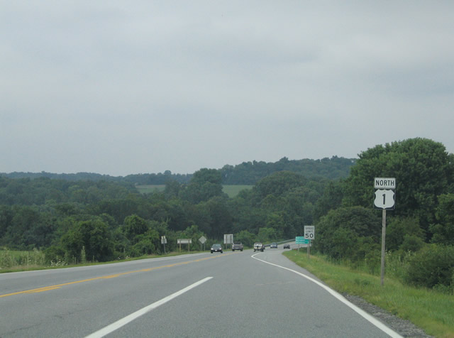
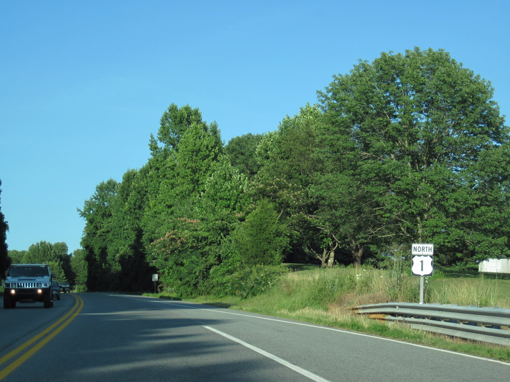
U.S. 1 North - Harford / Cecil Counties

 North
North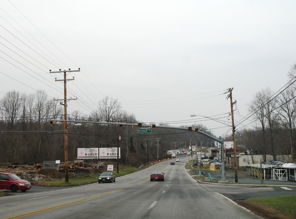
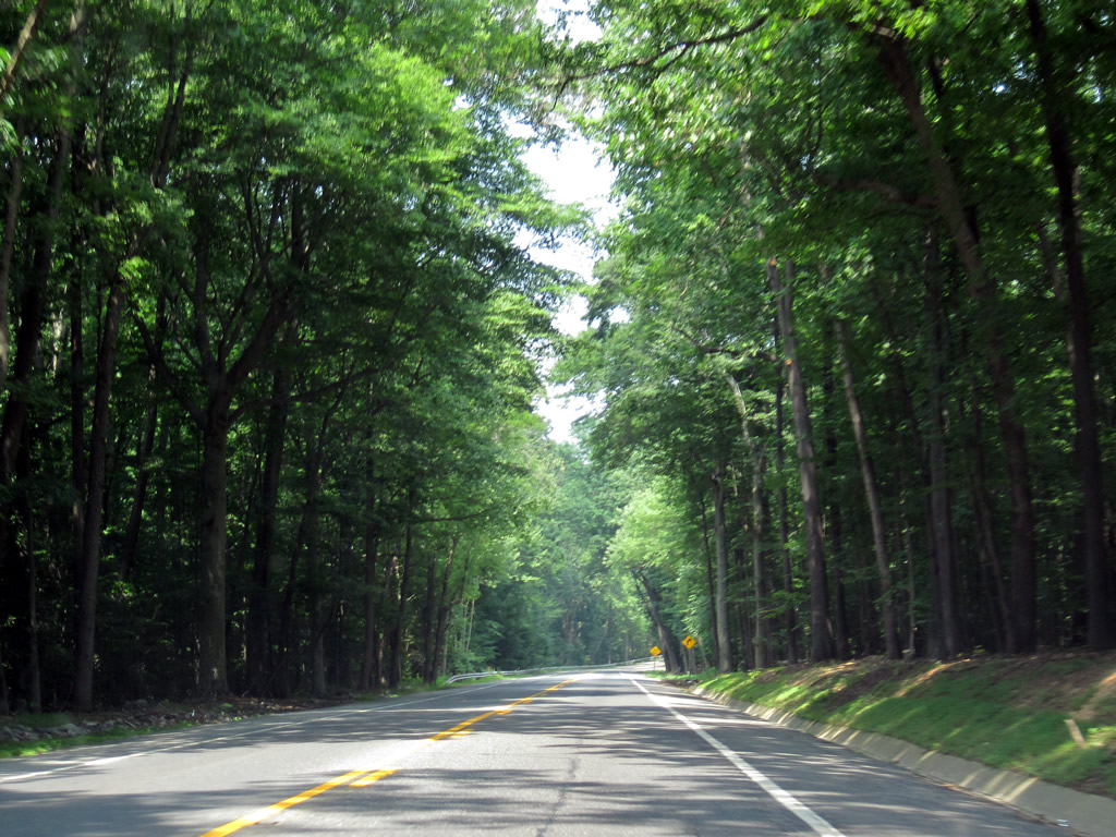
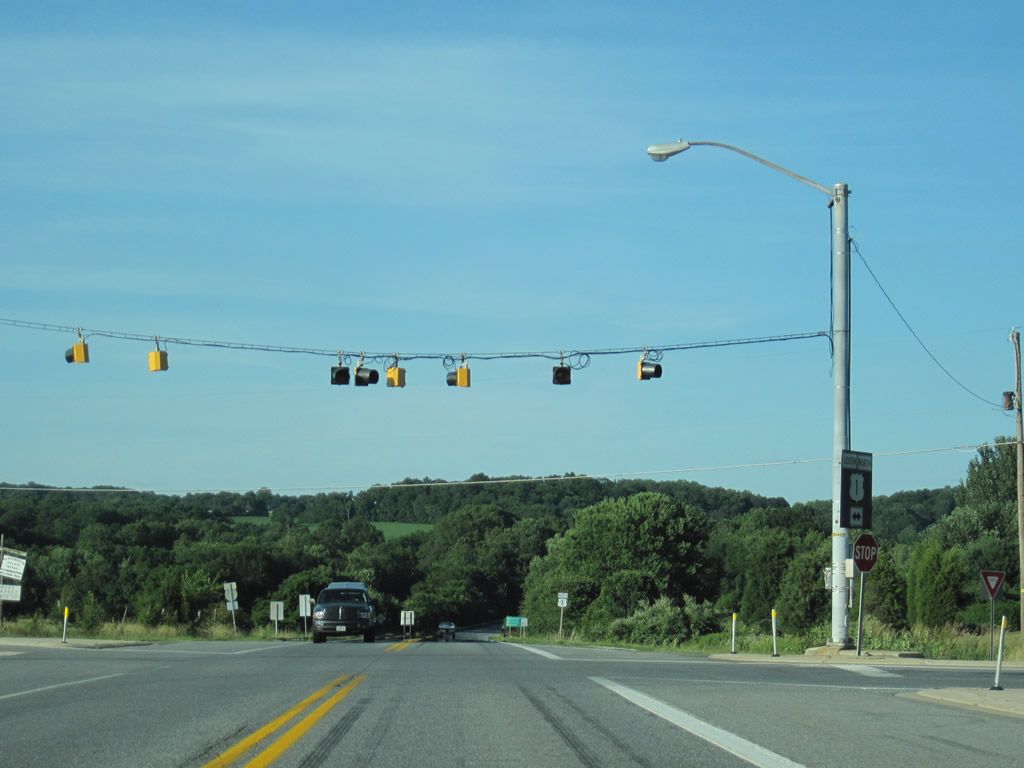
U.S. 1 (Bel Air Road) exits Gunpowder Falls State Park and intersects Reckford Road at a set of flashers. Reckford Road wanders east to MD 152 (Mountain Road) and north to parallel MD 147 (Harford Road).
12/28/07
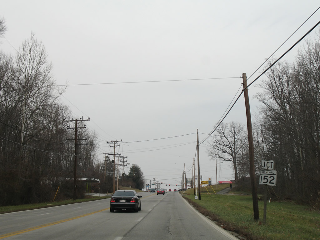
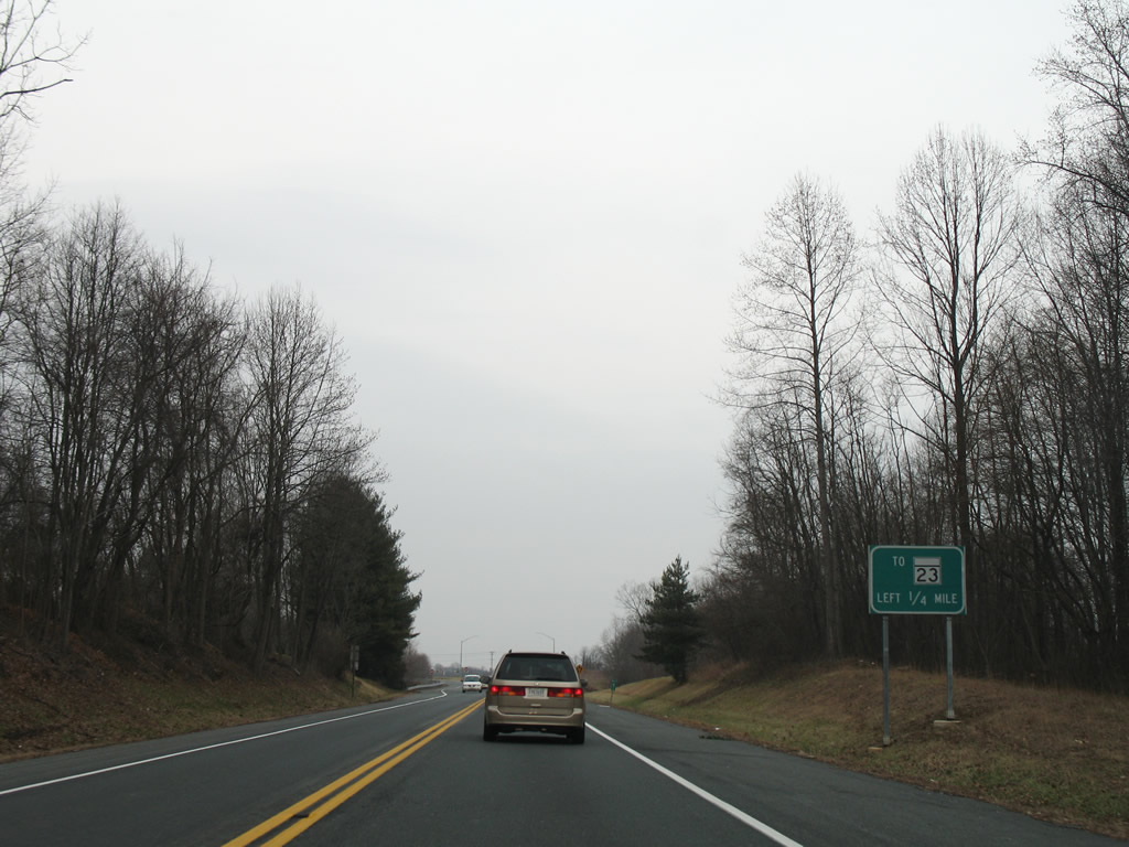
MD 152 (Mountain Road south / Fallston Road north) crosses paths with U.S. 1 (Bel Air Road) at Lynchs Corner).
12/28/07
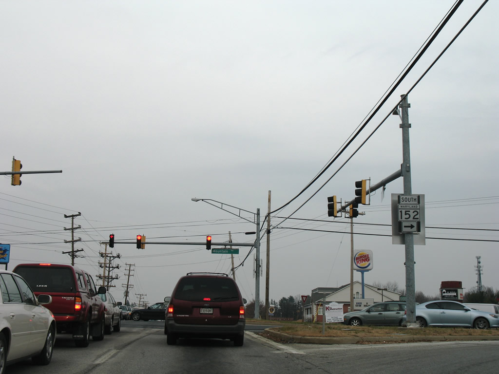
Mountain Road ventures southward to Stockton, Mountain, Interstate 95 (Exit 74) and Aberdeen Proving Ground. The 17.34 mile state route continues northwest to Fallston and MD 146 south of Madonna.
12/28/07
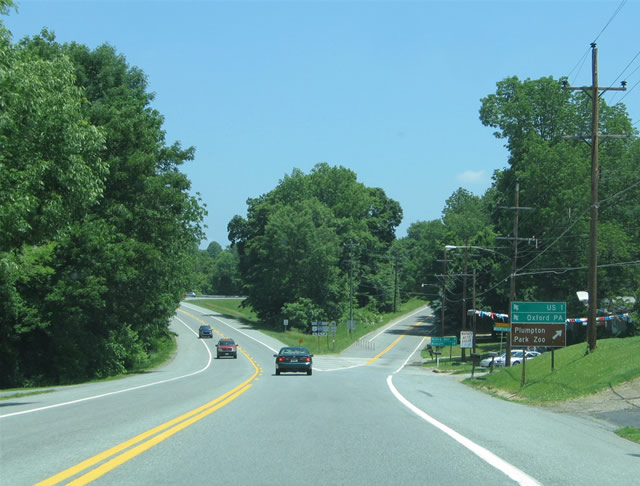
Continuing northeast from Lynchs Corner, the frontage of Bel Air Road increases in development with small businesses occupying much of the land to Benson.
07/06/10
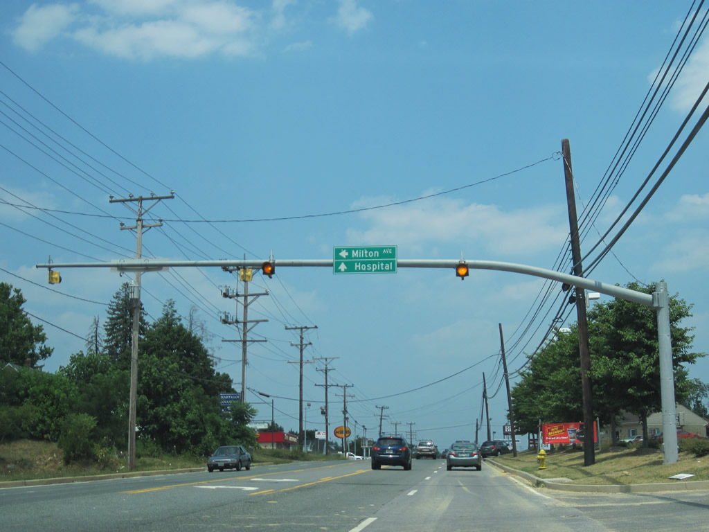
Milton Avenue connects U.S. 1 (Bel Air Road) with MD 147 (Harford Road) through a subdivision of tightly packed homes. The subdivision was partially built in place of an industrial business just off Bel Air Road.
07/06/10
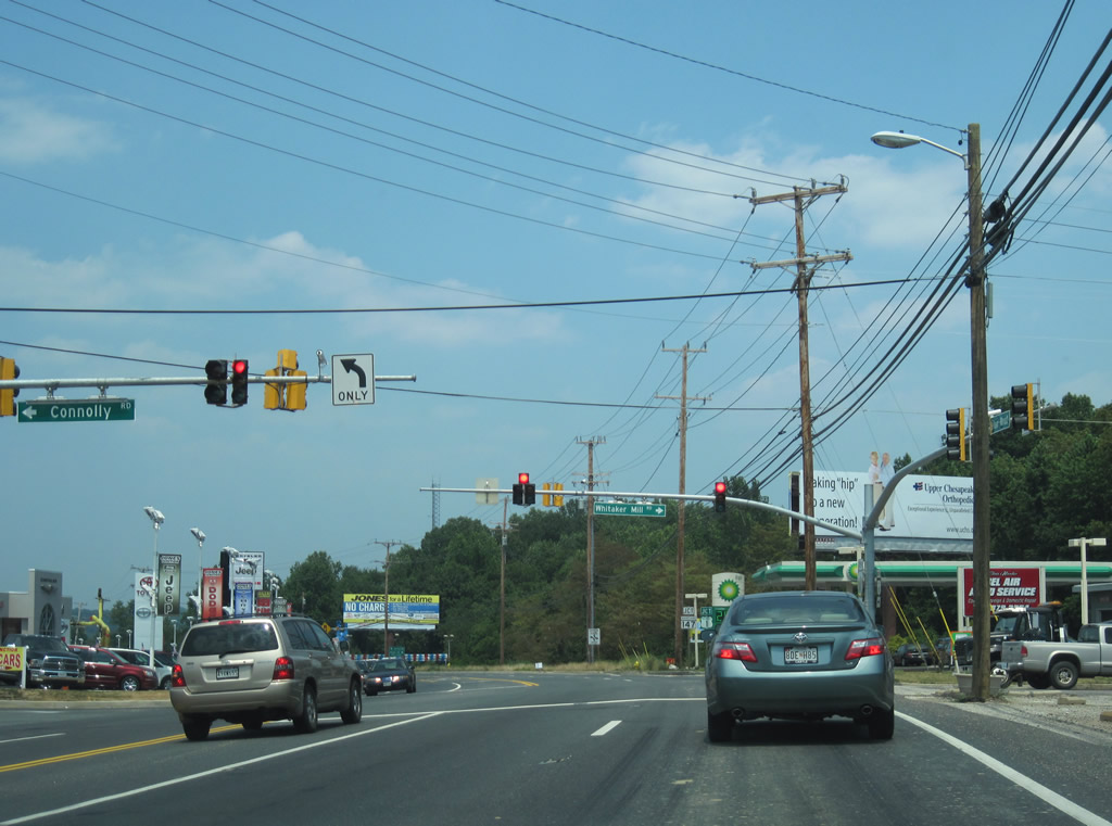
Connolly Road travels east from Old Fallston Road to meet U.S. 1 (Bel Air Road) opposite Whitaker Mill Road at Benson. Whitaker Mill Road ventures east to Old Joppa Road and Ring Factory Road south of Bel Air.
07/06/10
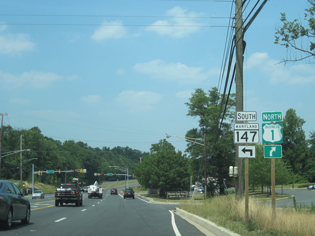
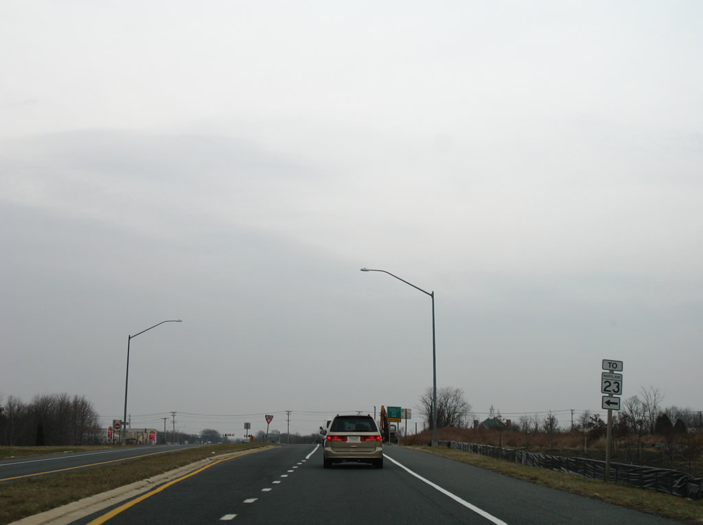
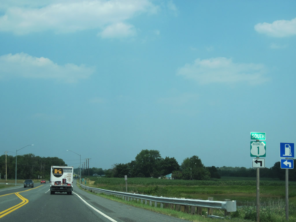
U.S. 1 Business branches north from U.S. 1 along Bel Air Road opposite the north end of MD 147 (Harford Road) at Benson. U.S. 1 shifts onto the Bel Air Bypass while the business route continues into the Bel Air city limits.
07/06/10
The guide sign for U.S. 1 at U.S. 1 Business (Bel Air Road) and MD 147 (Harford Road) was replaced by 2010 with a junction shield assembly.
12/28/07
U.S. 1 Business was created when the Bel Air Bypass opened to traffic in the 1960s. The business loop follows Bel Air Road east to Baltimore Pike and Main Street (MD 924) north into downtown.
07/06/10

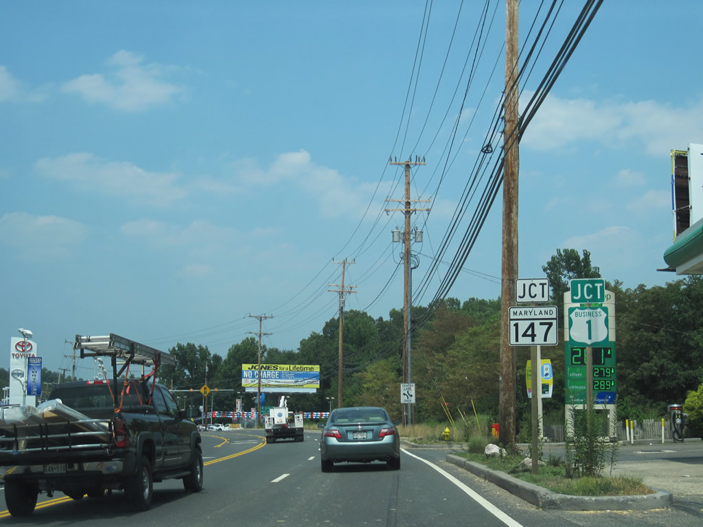
MD 147 travels 18.81 miles southwest from U.S. 1 (Bel Air Road) to U.S. 1 within the city of Baltimore. U.S. 1 Business totals 6.90 miles through Bel Air and nearby Hickory. This particular shield assembly was removed by 2010.
12/28/07
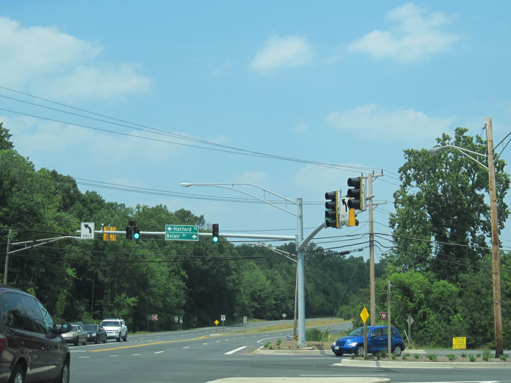
Mast-arm supported signals replaced a span-wire traffic light assembly between 2007 and 2010 at MD 147 (Harford Road) south and U.S. 1 Business (Bel Air Road) north.
07/06/10
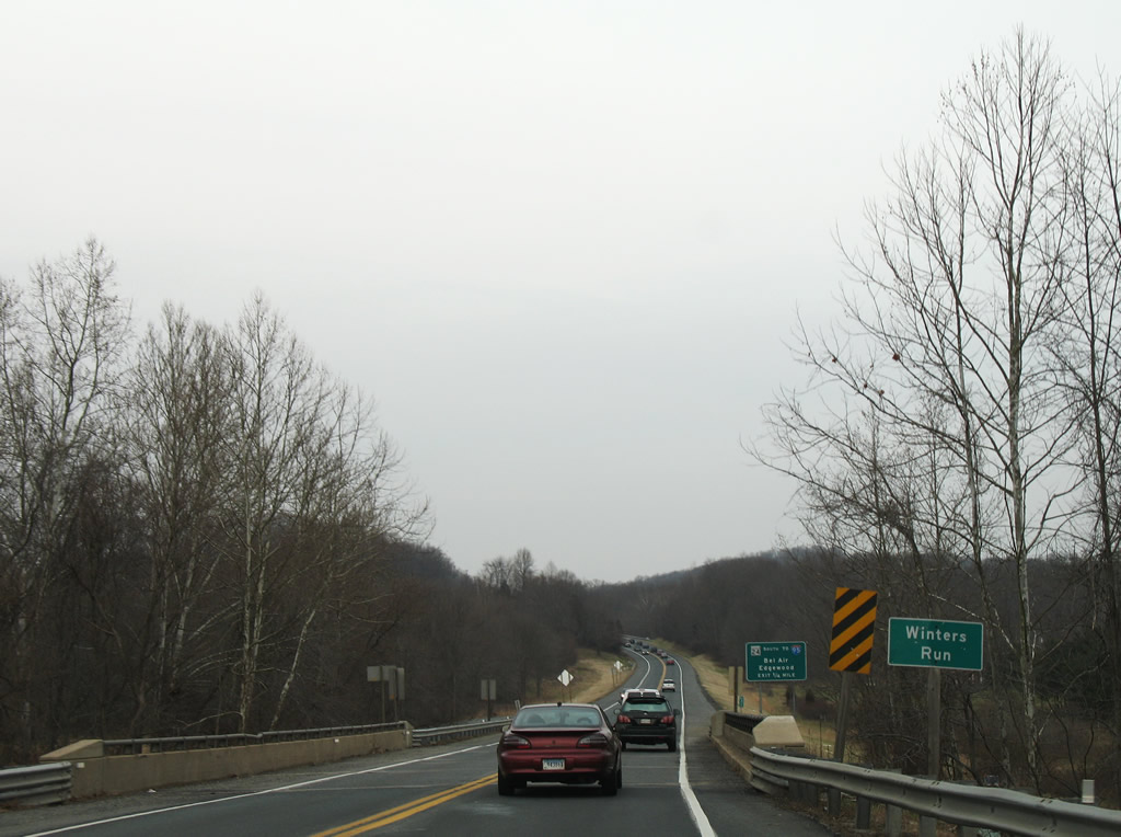
U.S. 1 expands into a four lane expressway briefly from Benson northeast to Winters Run along the Bel Air Bypass.
12/28/07
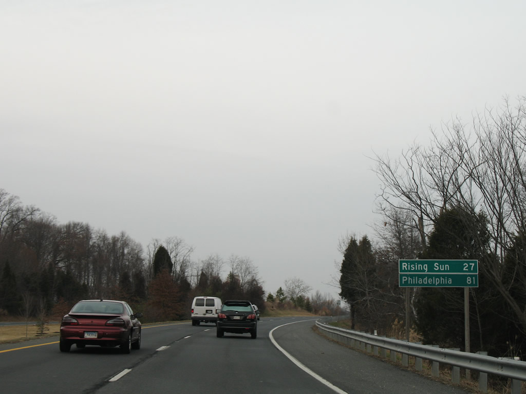
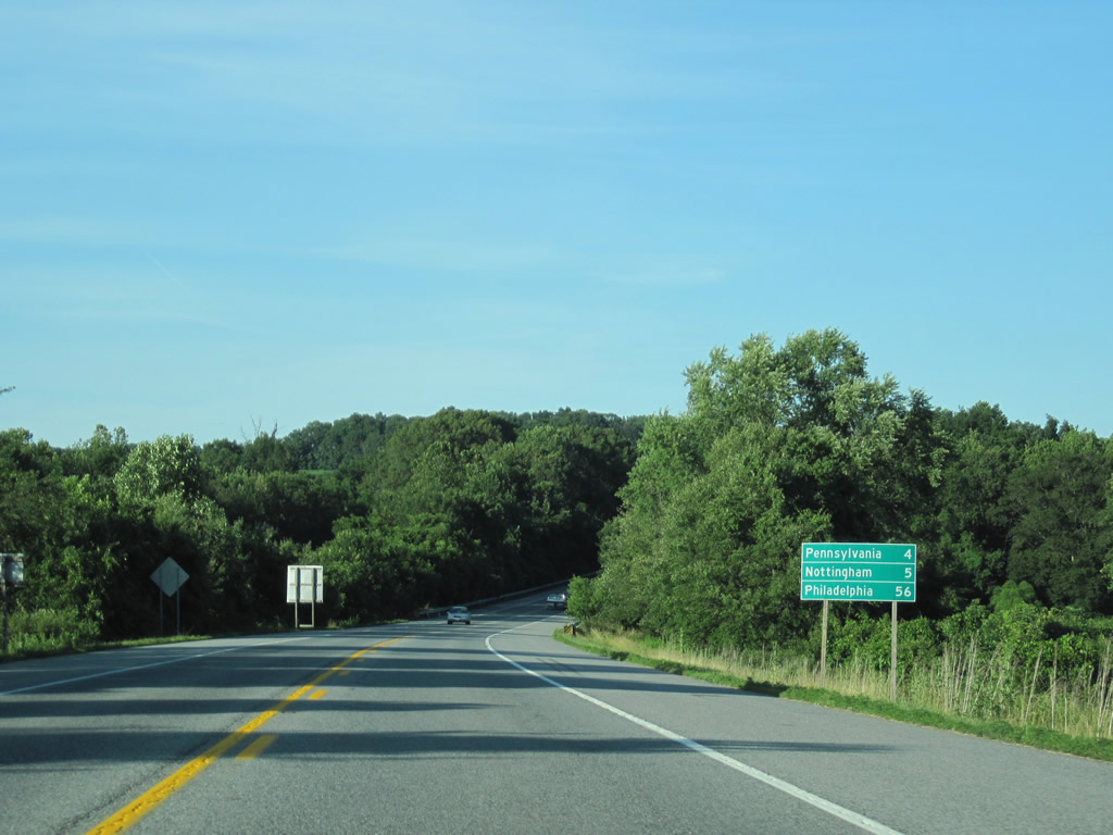
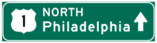
Northbound distance sign posted on the Bel Air Bypass 21 miles west of Rising Sun and 81 miles out from Philadelphia.
12/28/07
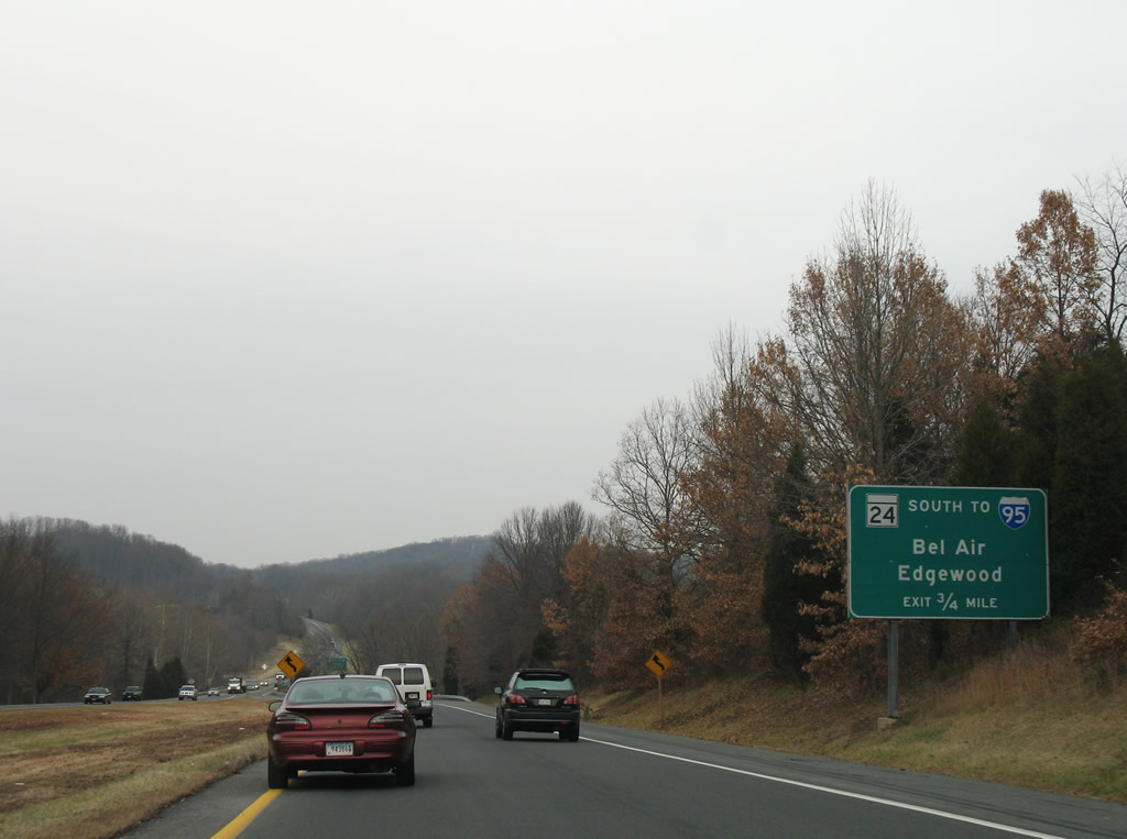
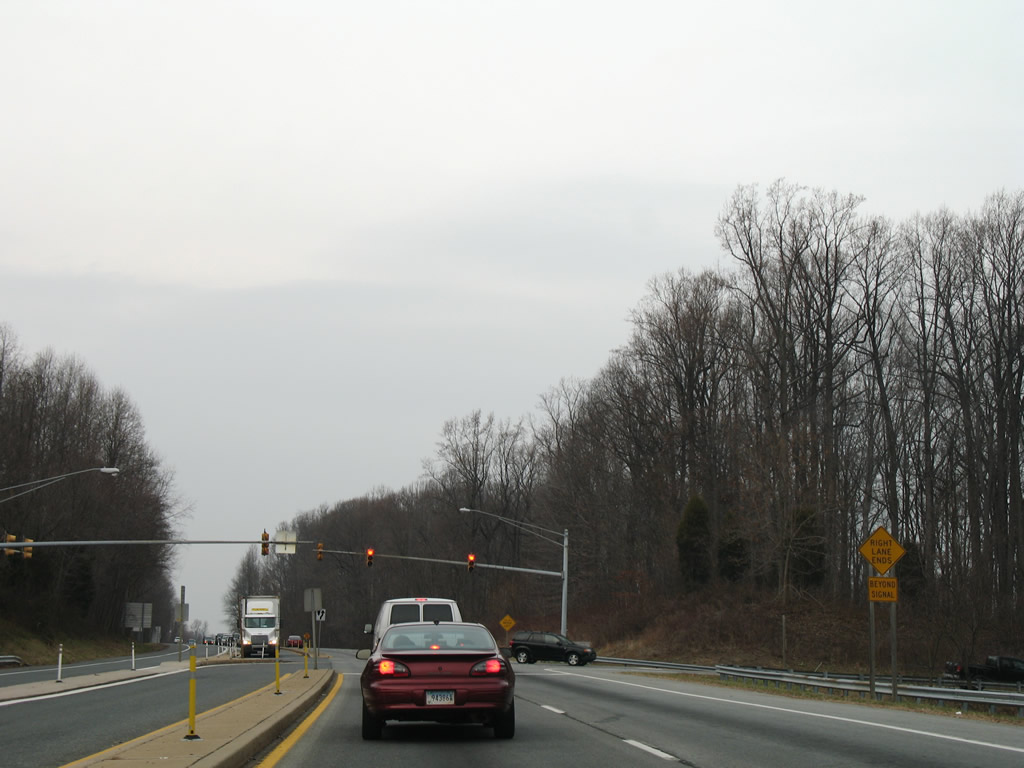
Next in line for northbound drivers along U.S. 1 (Bel Air Bypass) is the junction with MD 24 (Vietnam Veterans Memorial Highway) south.
12/28/07
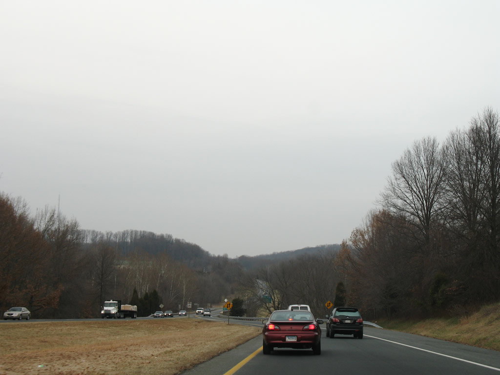
U.S. 1 reduces to a super-two expressway at the crossing of Winters Run.
12/28/07
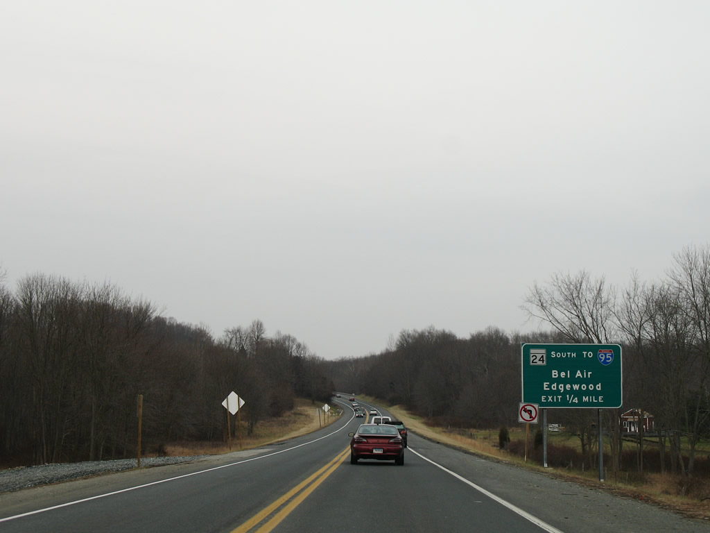
One quarter mile south of the southbound off-ramp to MD 24 (Vietnam Veterans Memorial Highway) to the commercial district of Bel Air. MD 24 constitutes a controlled-access arterial southward to Exit 77 of Interstate 95 and Aberdeen Proving Ground at Edgewood.
12/28/07
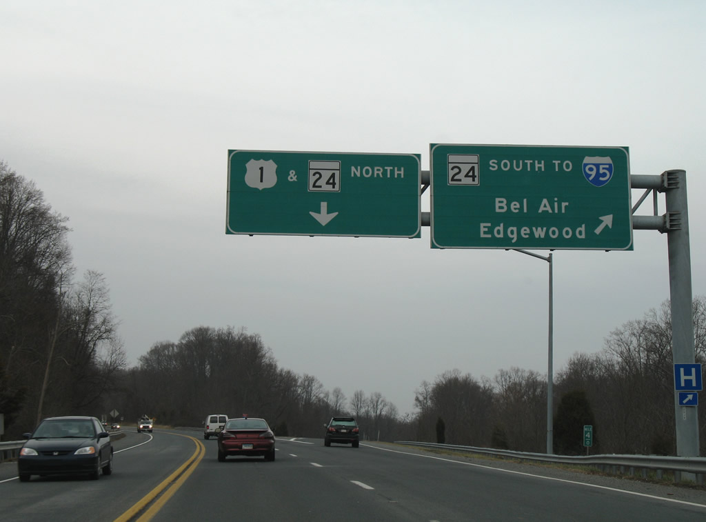
The off-ramp to MD 24 includes a stub ramp for an unconstructed northbound roadway of U.S. 1. The state route otherwise meets Boulton Street and U.S. 1 Business (Baltimore Pike) at Harford Mall next. MD 24 northbound meanwhile merges with U.S. 1 (Bel Air Bypass) to its original alignment at Frogtown.
12/28/07
An at-grade intersection facilitates the movements from MD 24 north to U.S. 1 south and U.S. 1 south to MD 24 south. Upgrades to the junction of MD 24 are planned in the form of a trumpet interchange.
12/28/07
U.S. 1/MD 24 travel less than one mile together to a parclo interchange with Rock Spring Road (MD 924 south).
12/28/07
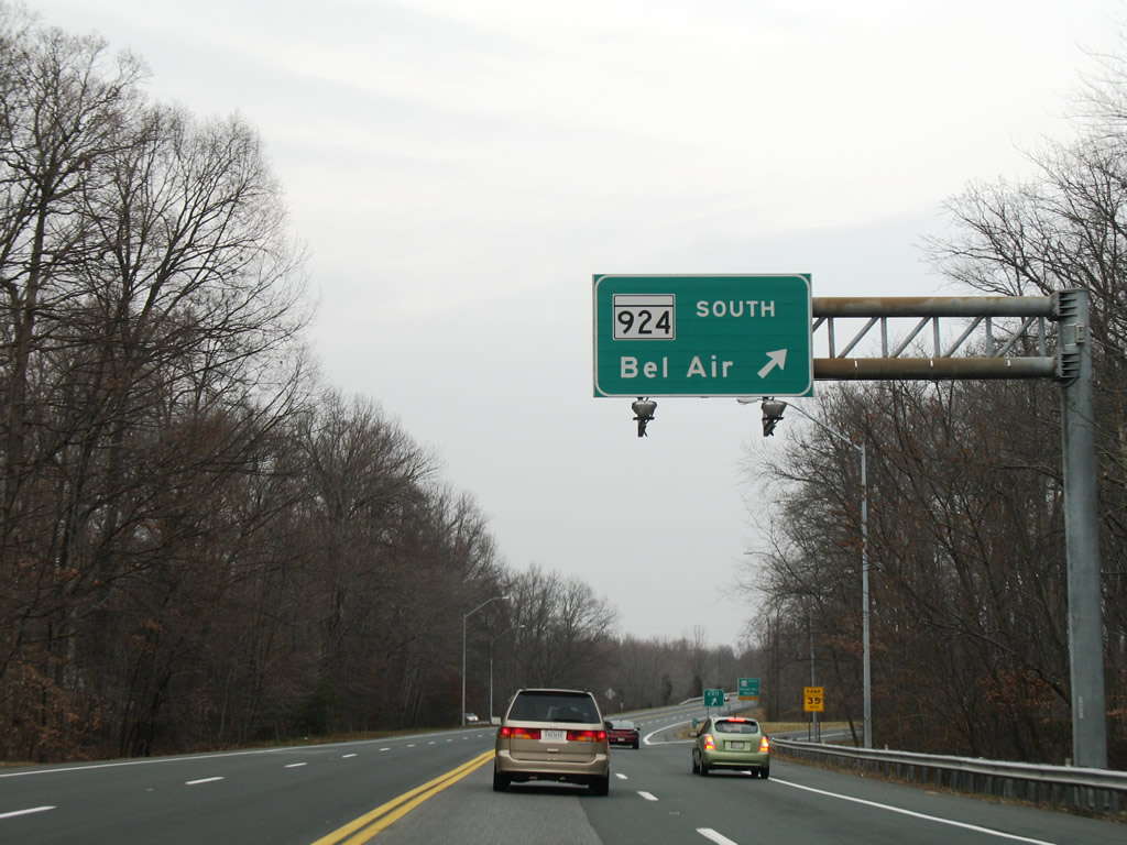
MD 24 travelers merge onto the Bel Air Bypass from Vietnam Veterans Memorial Highway before the Vale Road overpass. MD 24 shifted onto its current alignment from Rock Spring Road, Main Street, and Emmorton Road in the 1980s. The original path remains in the state system as MD 924.
12/28/07
MD 924 begins and heads south along Rock Spring Avenue to a one way couplet split of Main Street (north) and Bond Street (south) through the Bel Air central business district. There the route joins U.S. 1 Business.
12/28/07
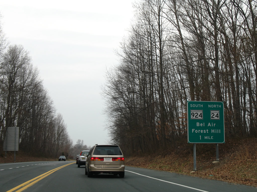
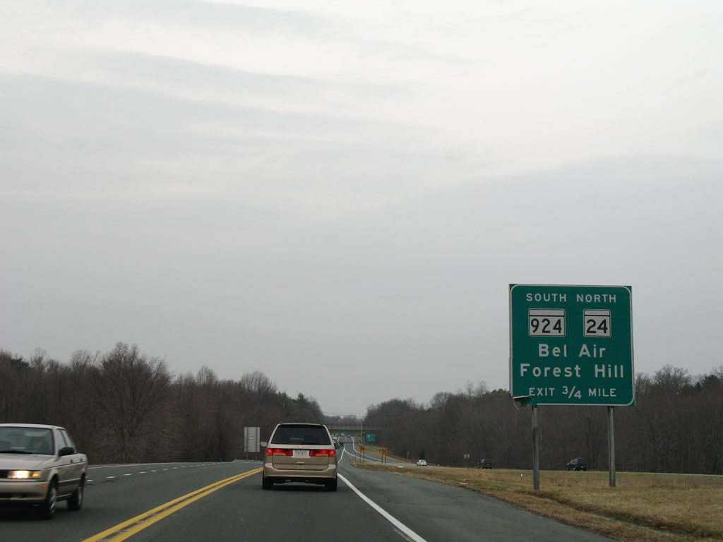
U.S. 1/MD 24 (Bel Air Bypass) north at the southbound off-ramp to MD 924 (Rock Springs Road). MD 924 travels 7.34 miles overall through Bel Air and Emmorton.
12/28/07
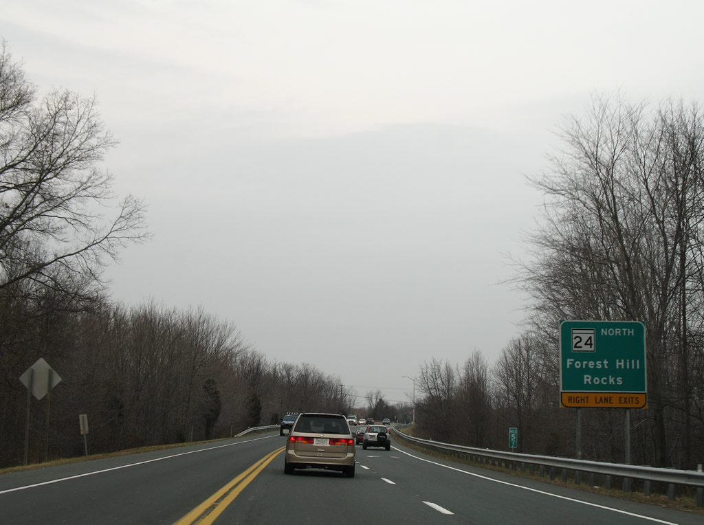
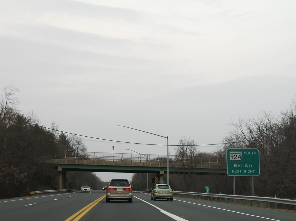
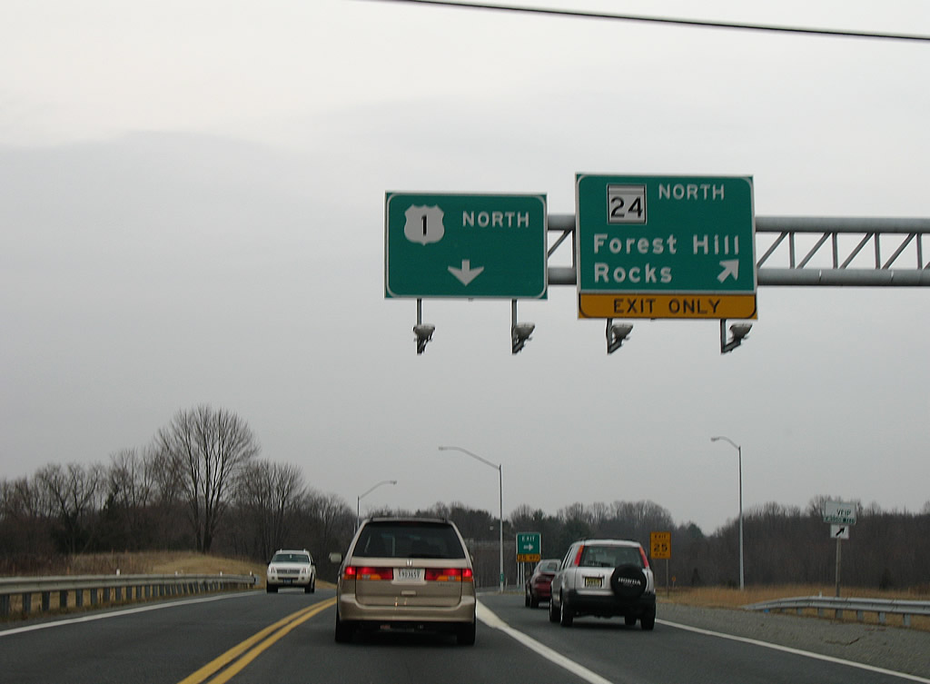
A loop ramp follows and carries MD 24 north onto Rock Spring Road through Frogtown to Forest Hill.
12/28/07
MD 24 leaves the suburbia of Bel Air and Forest Hill and travels Rocks Road from MD 23 (East West Highway) through scenic Rocks State Park, Constitution, and Fawn Grove, Pennsylvania.
12/28/07
North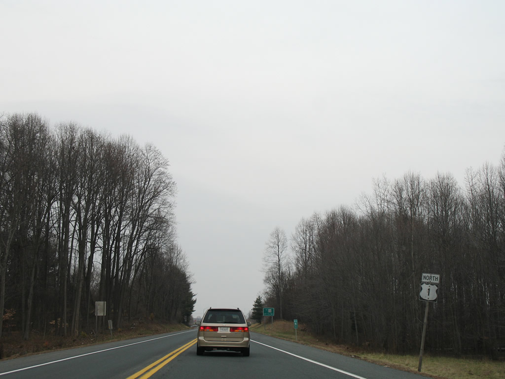
Reassurance marker posted along the Bel Air Bypass as it skirts by the community of Bynum north of Rock Spring Road.
12/28/07
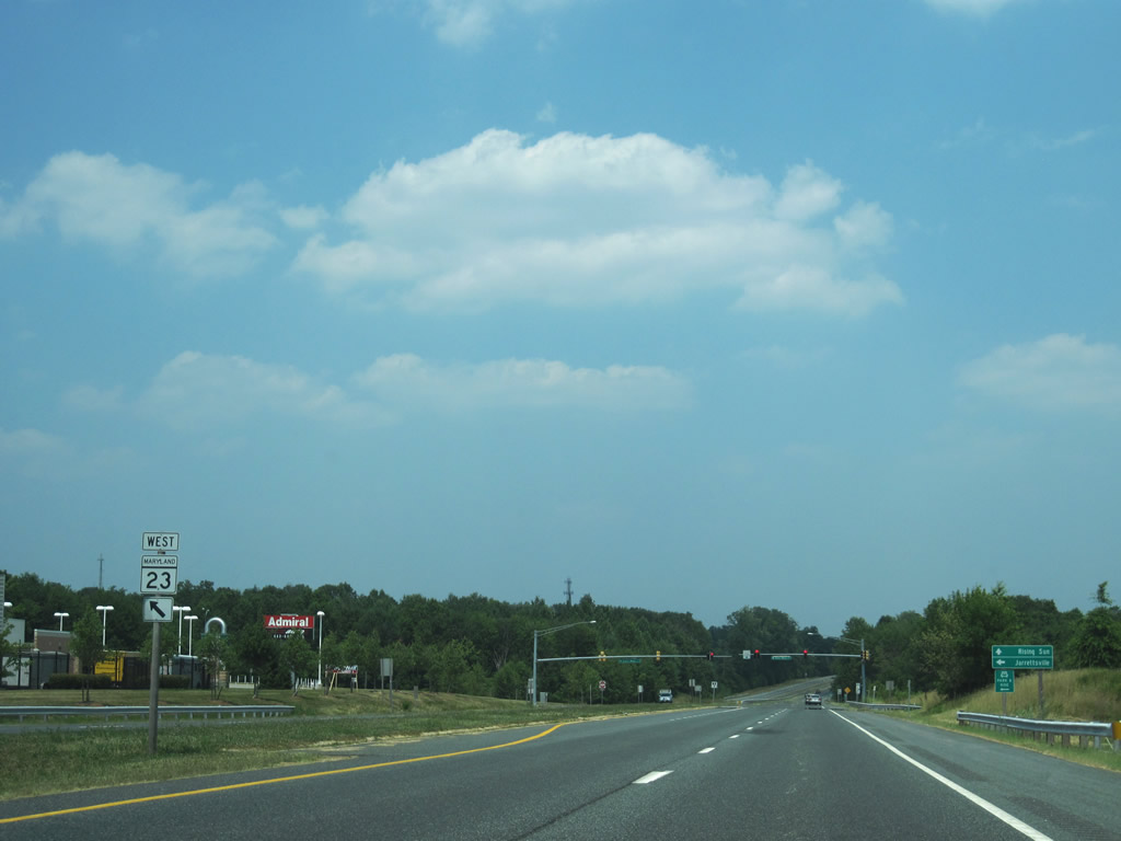
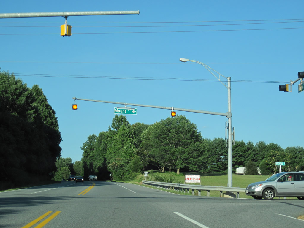
MD 23 (East West Highway) heads east from MD 24 (Rocks Road) near Forest Hill to end at U.S. 1 (Hickory Bypass). Travelers bound for East West Highway are directed onto Dove Court north to directly reach MD 23 west.
12/28/07
Dove Court travels north-south between U.S. 1 (Bel Air Bypass) and MD 23 (East West Highway) parallel to the Hickory Business Loop of U.S. 1. The alignment was originally MD 23 until the Hickory Bypass opened to traffic.
12/28/07
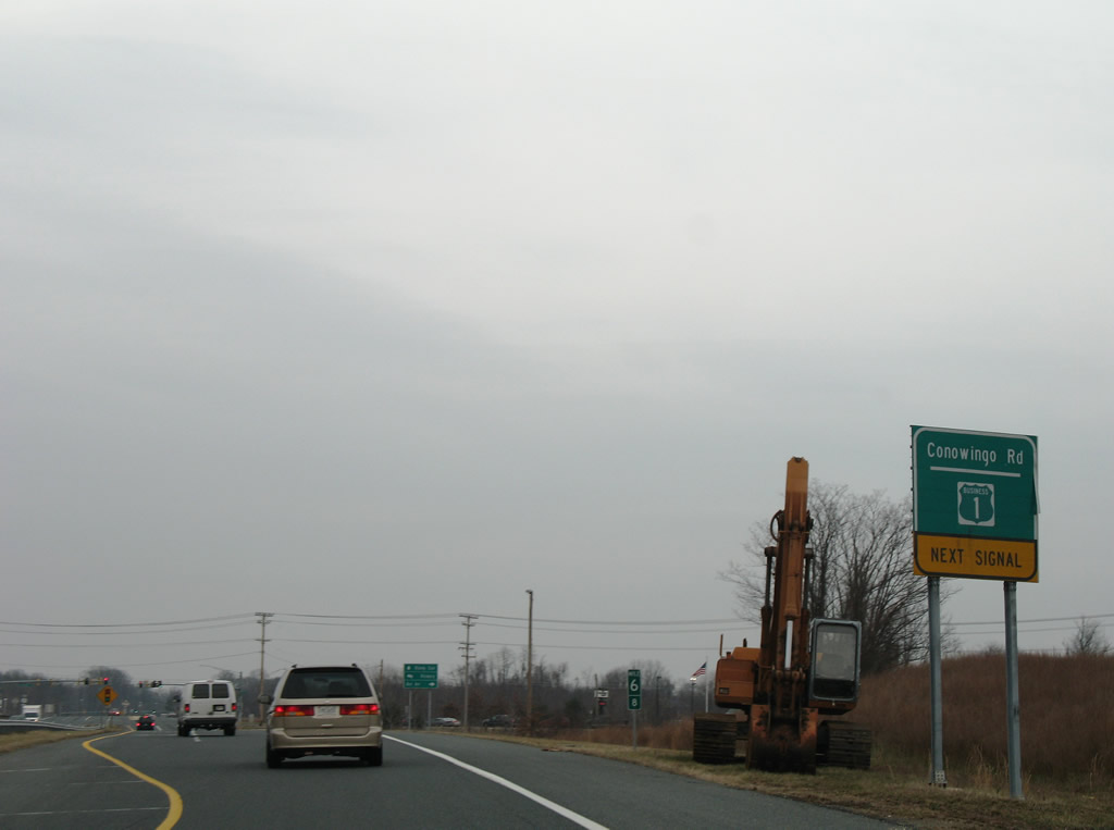
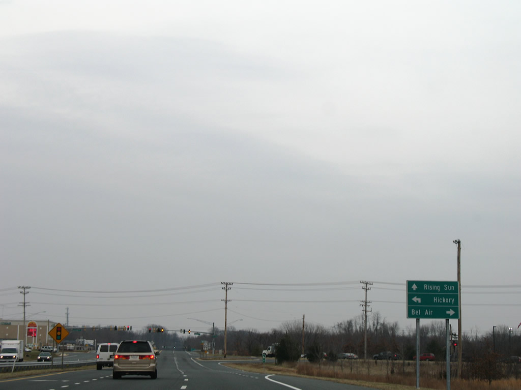
U.S. 1 Business exits Bel Air via Hickory Avenue onto Conowingo Road. Conowingo Road crosses U.S. 1 at the transition from the 1960s Bel Air Bypass and the 2000 completed Hickory Bypass.
12/28/07
U.S. 1 Business (Conowingo Road) south provides the final opportunity to reach the Harford County seat from U.S. 1 north.
12/28/07
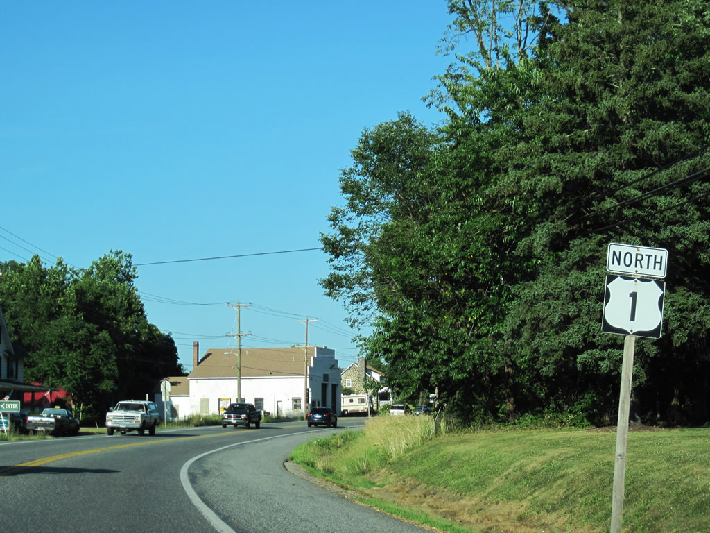
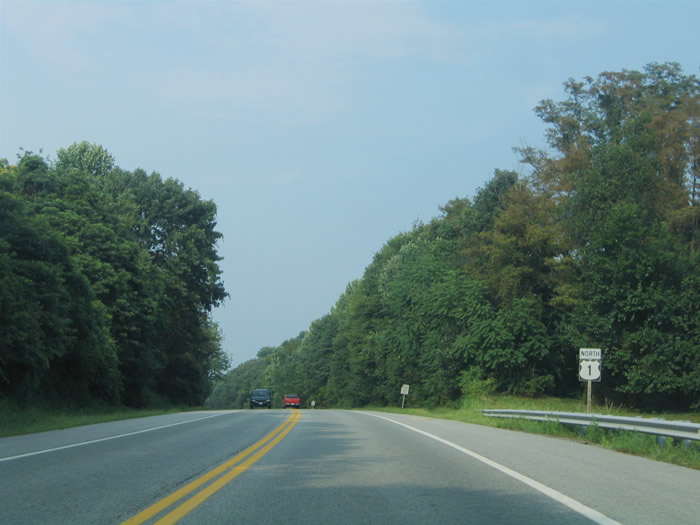
U.S. 1 (Hickory Bypass) stays south of Hickory along a controlled-access route.
07/06/10

MD 23 (East West Highway) ends at the adjacent signalized intersection along U.S. 1 (Hickory Bypass) north.
07/06/10
Traveling 20.58 miles, MD 23 follows a circuitous path from Hickory to Jarrettsville, Madonna, Blackhorse, Norrisville, and the south end of PA 24.
07/06/10
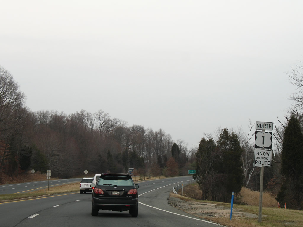
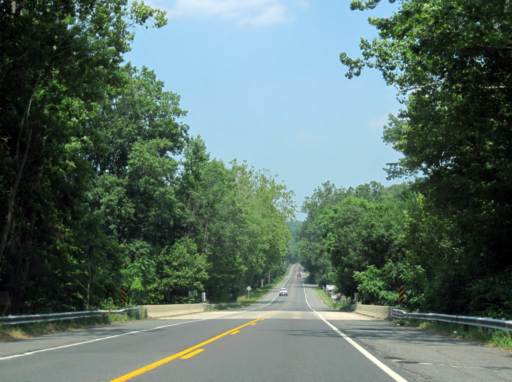
Leaving the intersection with MD 23, U.S. 1 transitions into a rural highway.
07/06/10
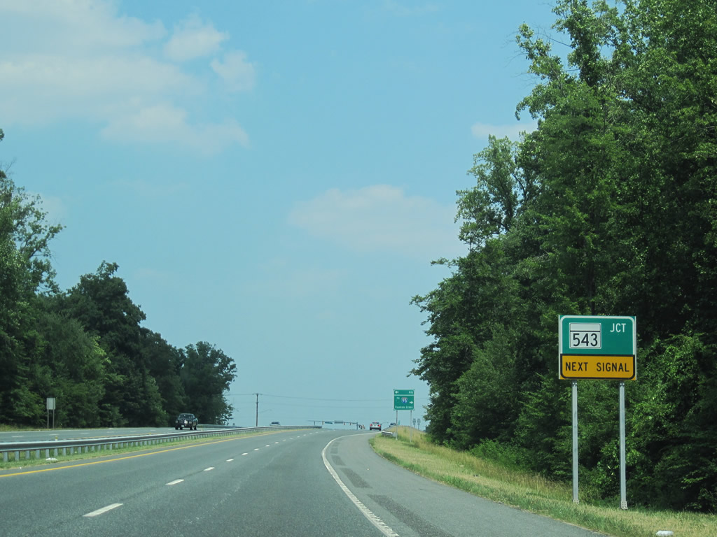
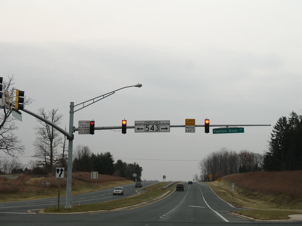
MD 543 (North Fountain Green Road) ties into U.S. 1 (Hickory Bypass) south of Hickory and north of Fountain Green.
07/06/10
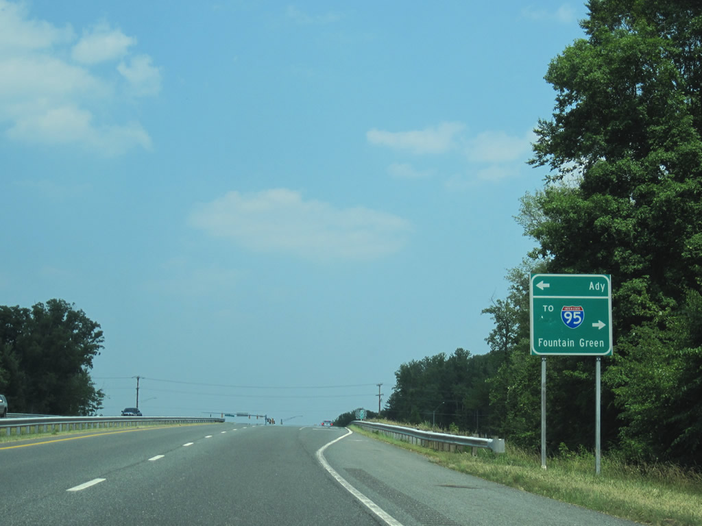
A 19.08 mile route, MD 543 begins at U.S. 40 south of Exit 80 of Interstate 95 and ventures north six miles to Ady.
07/06/10
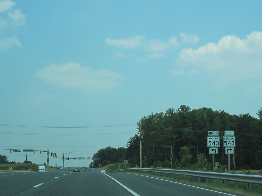
Northbound U.S. 1 (Hickory Bypass) at the signalized intersection with MD 543 (North Fountain Green Road). MD 543 ends to the north at MD 165 (Pylesville Road) southwest of Whiteford).
07/06/10
12/28/07

U.S. 1 reduces from four to two lanes north of North Fountain Green Road.
07/06/10
U.S. 1 Business (Conowingo Road) returns from Hickory and ends at U.S. 1 (Hickory Bypass) east of town.
12/28/07
07/06/10
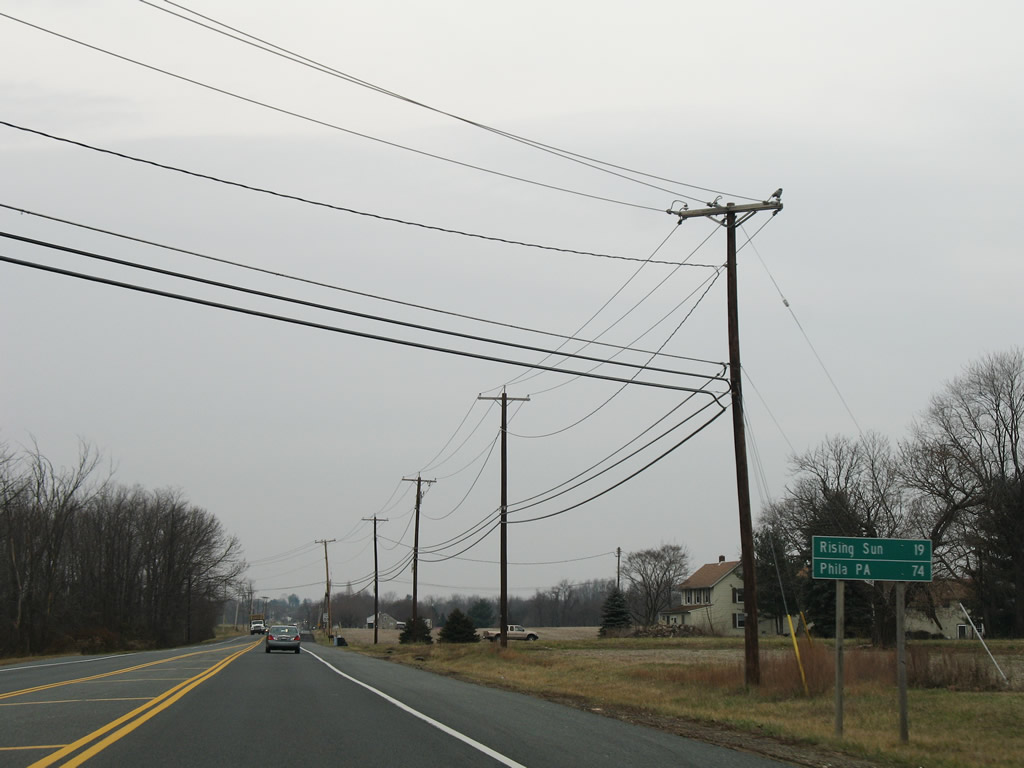
Distance sign posted along U.S. 1 (Conowingo Road) northbound after the Hickory Business loop.
12/28/07
Motorists taking U.S. 1 north enter a forested stretch within the vicinity of Palmer State Park. Conowingo Road crosses over Deer Creek on the drive.
07/06/10
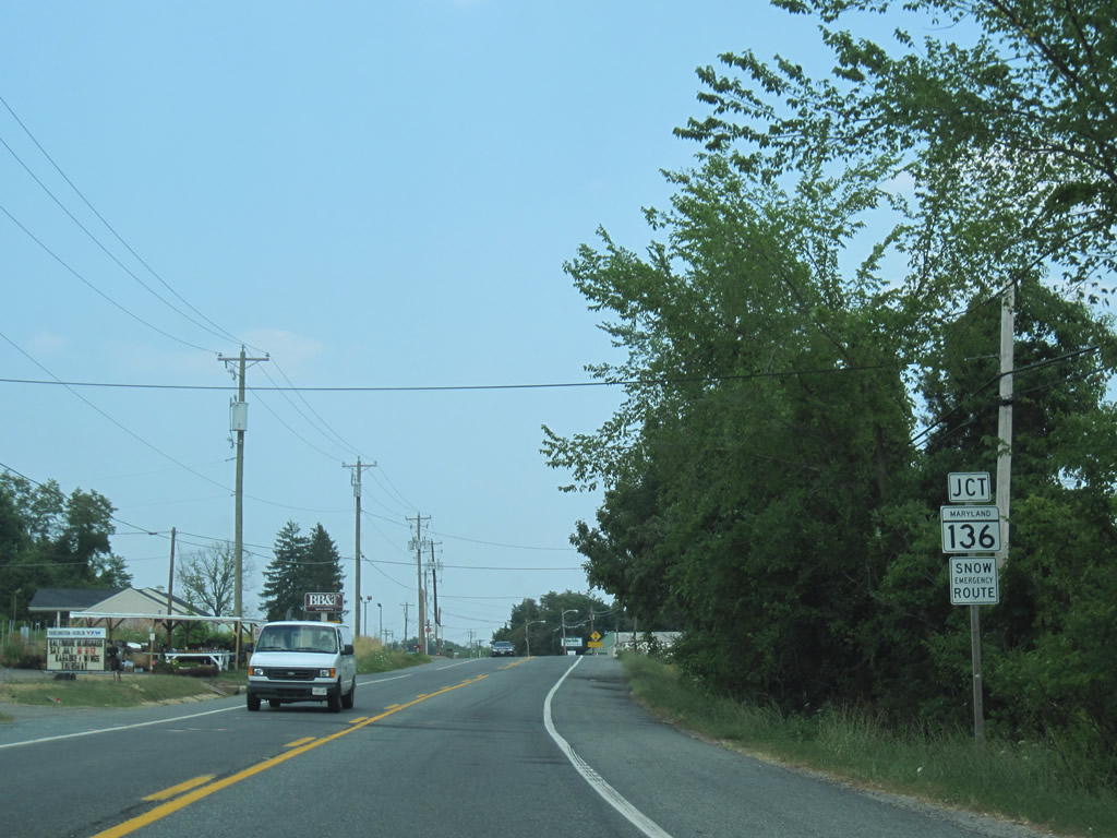
MD 136 (Priestford Road) intersects U.S. 1 (Conowingo Road) at Poplar Grove next.
07/06/10

MD 136 is the longest route within Harford County at 30.04 miles in length. Beginning at MD 7 in Bush, the state highway journeys northward to Creswell, Calvary and Churchville before meeting U.S. 1. North of Poplar Grove, the state route enters Dublin before bending westward to Prospect and Whiteford.
12/28/07
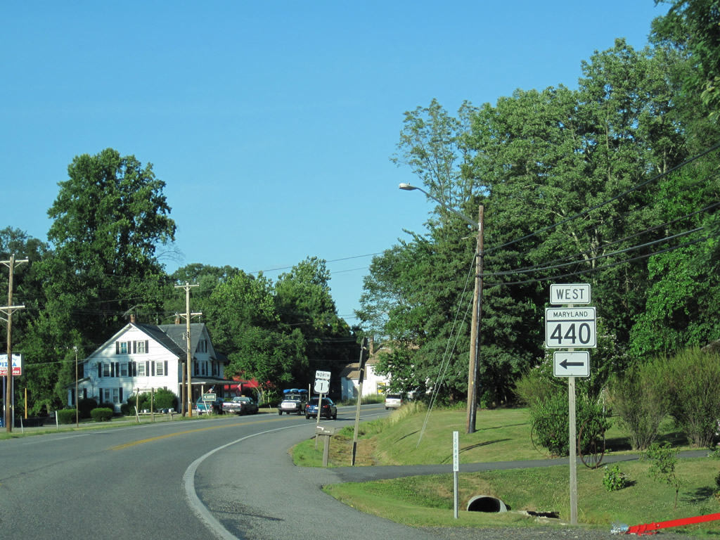
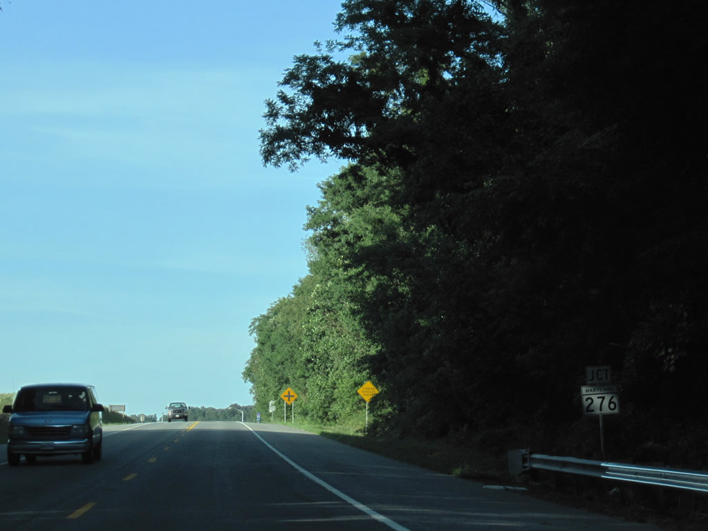
MD 440 (Dublin Road) ends at U.S. 1 (Conowingo Road) east of Dublin and west of Hopkins Corner. The east-west route totals 5.65 miles from Conowingo Road to Ady (MD 543).
07/02/10
Conowingo Road turns east from Dublin Road toward Hopkins Corner and Darlington.
07/02/10
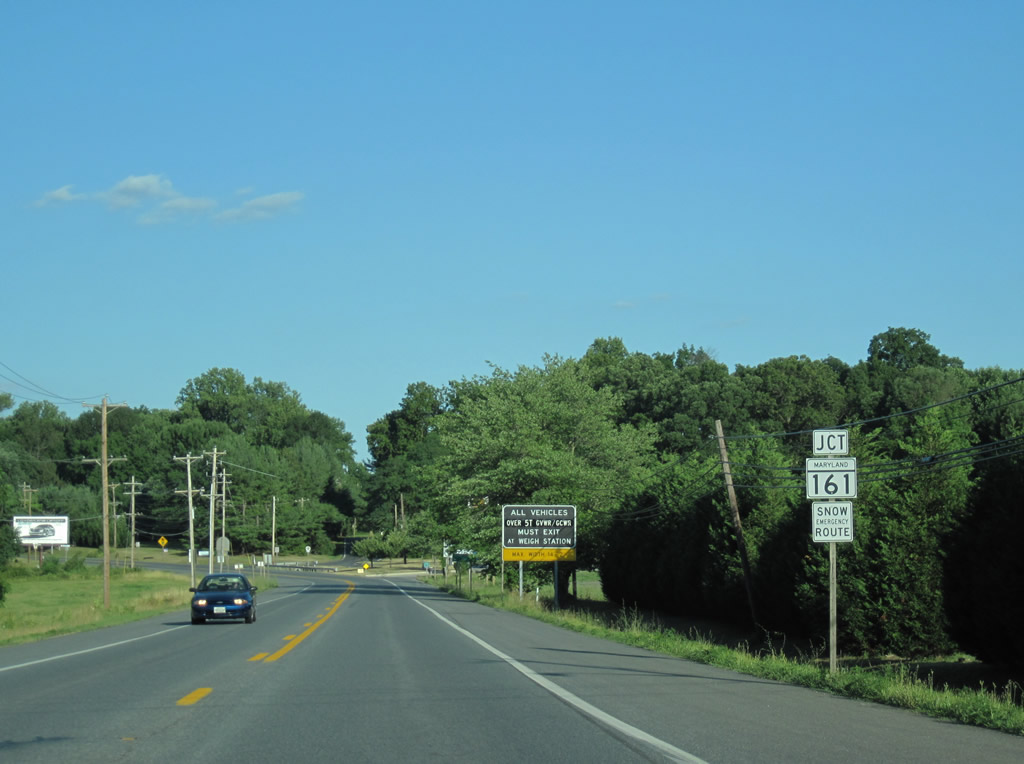
Approaching MD 161 (Main Street) near Darlington along U.S. 1 (Conowingo Road) north. MD 161 (Darlington Road) links U.S. 1 with MD 155 (Level Road) and Susquehanna State Park in eastern Harford County.
07/02/10
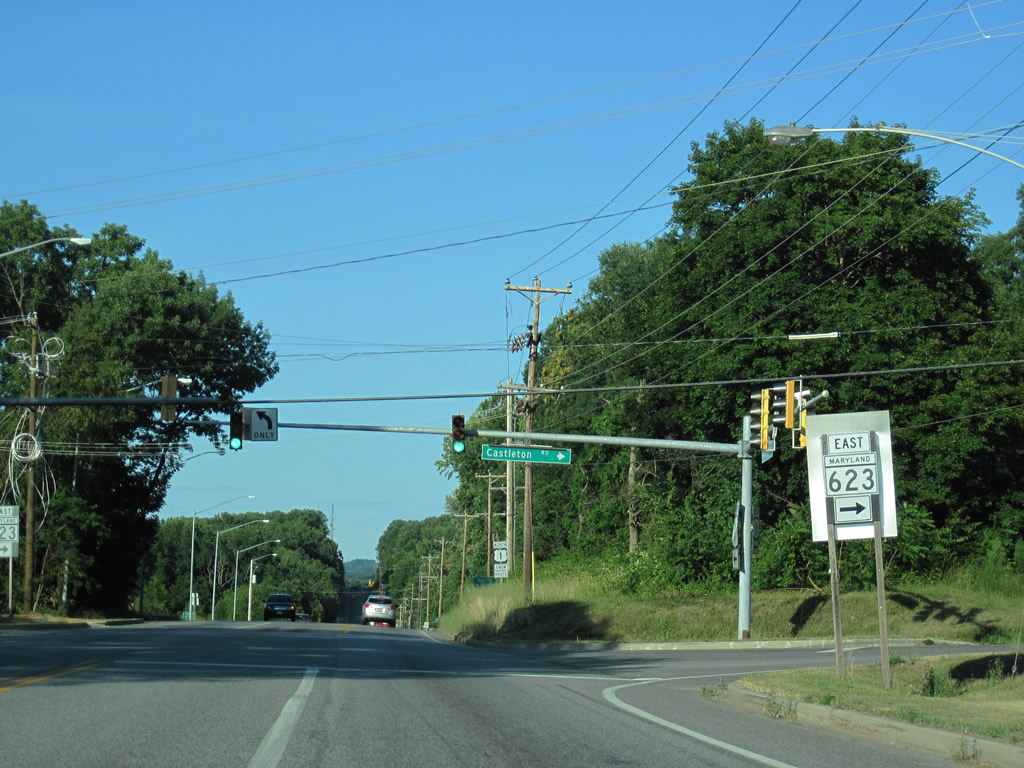
MD 161 (Main Street) splits with MD 623 (Castleton Road) just before meeting U.S. 1 (Conowingo Road). MD 623 follows Castleton Road north across U.S. 1 to Berkley. The route provides a more direct connect to U.S. 1 north from MD 161.
07/02/10
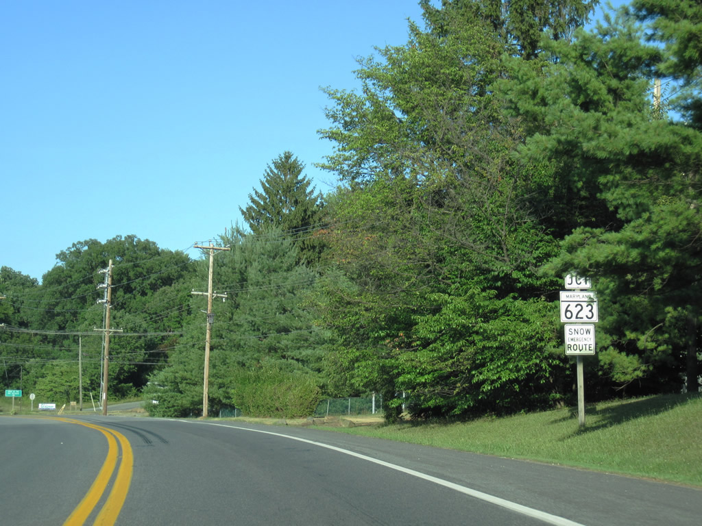
U.S. 1 (Conowingo Road) north at MD 623 (Castleton Road). MD 623 continues north from Castleton Road onto Flintville Road to Slate Hill, Pennsylvania.
07/02/10
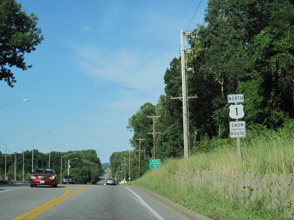
This U.S. 1 reassurance shield is located along Conowingo Road northbound as the highway approaches a weigh station beyond the intersection with MD 623 (Castleton Road).
06/30/10
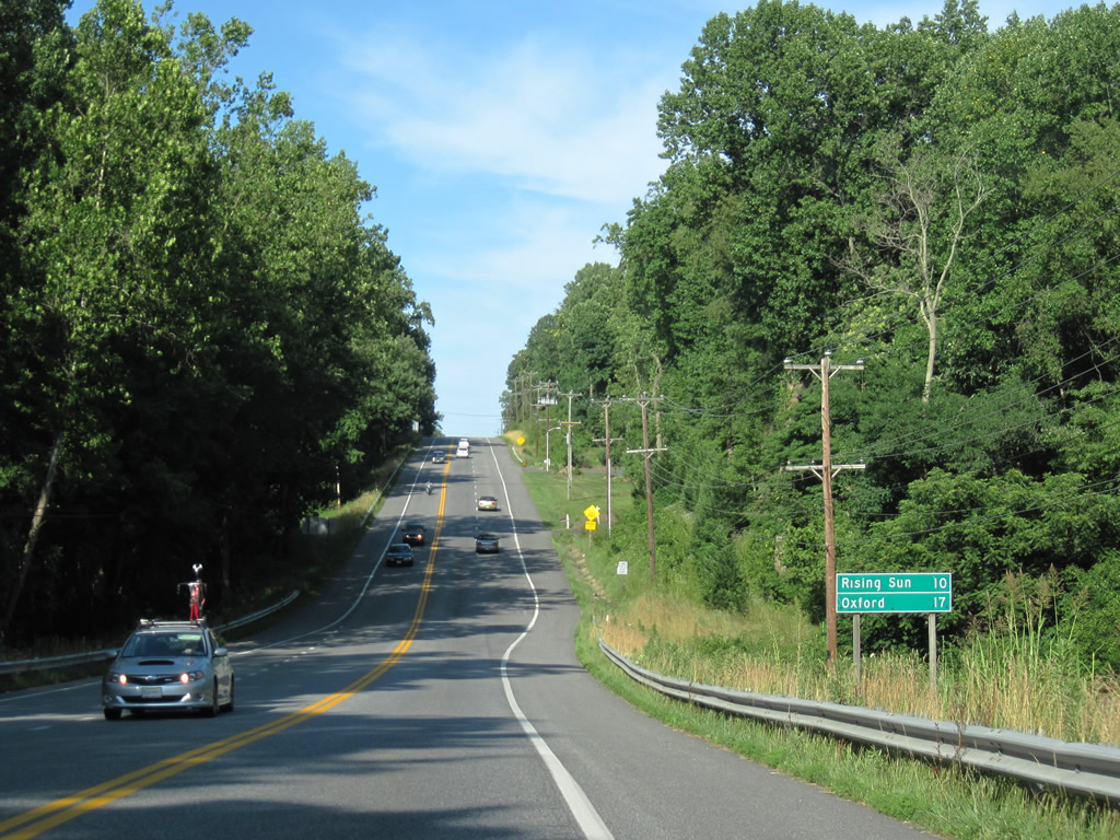
This distance sign along northbound U.S. 1 (Conowingo Road) provides the mileage to Rising Sun (10 miles) and Oxford (13 miles) just prior to reaching Conowingo Dam. The Conowingo Dam holds back a reservoir along the Susquehanna River and is part of a larger flood control system on the river.
06/30/10
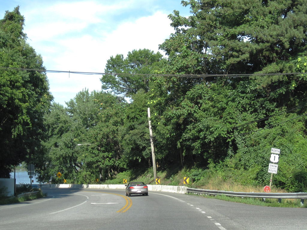
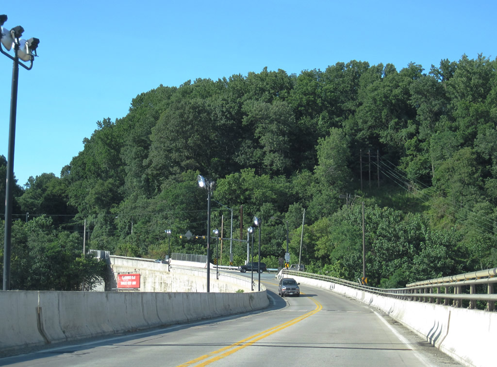
U.S. 1 makes an abrupt curve ahead of the Conowingo Dam crossing of the Susquehanna River. A wayside park lies along the west banks of the river adjacent to the curve. The overlook is a part of Susquehanna State Park.
06/30/10
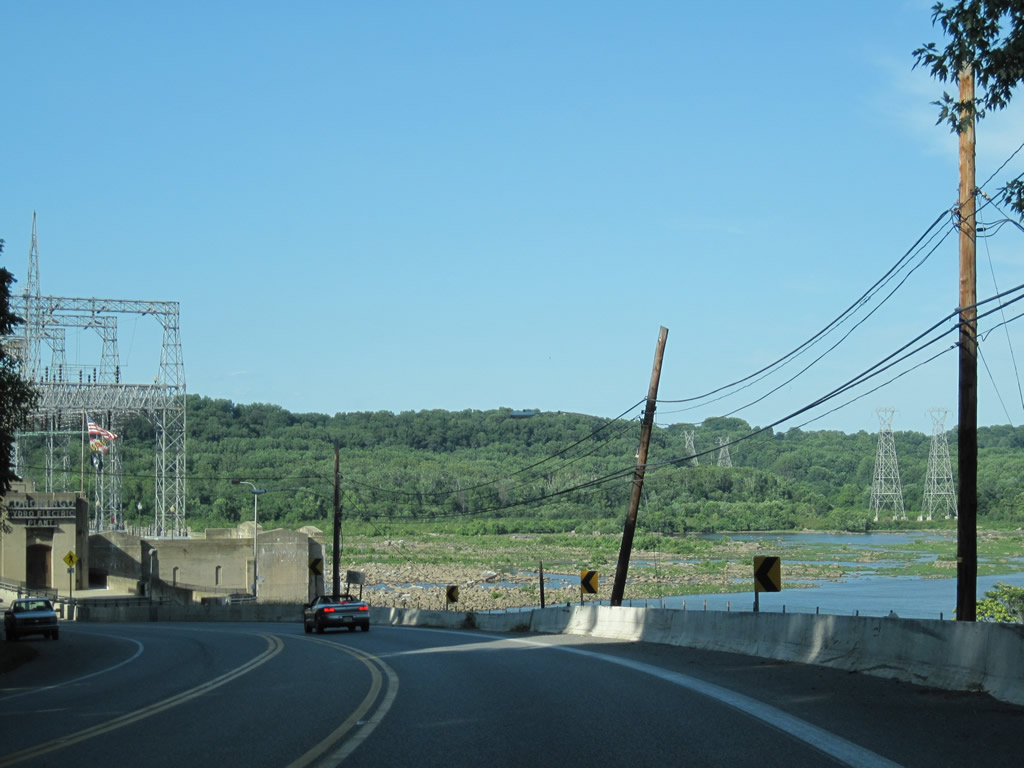
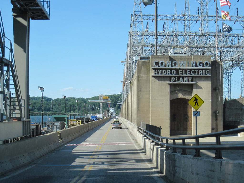
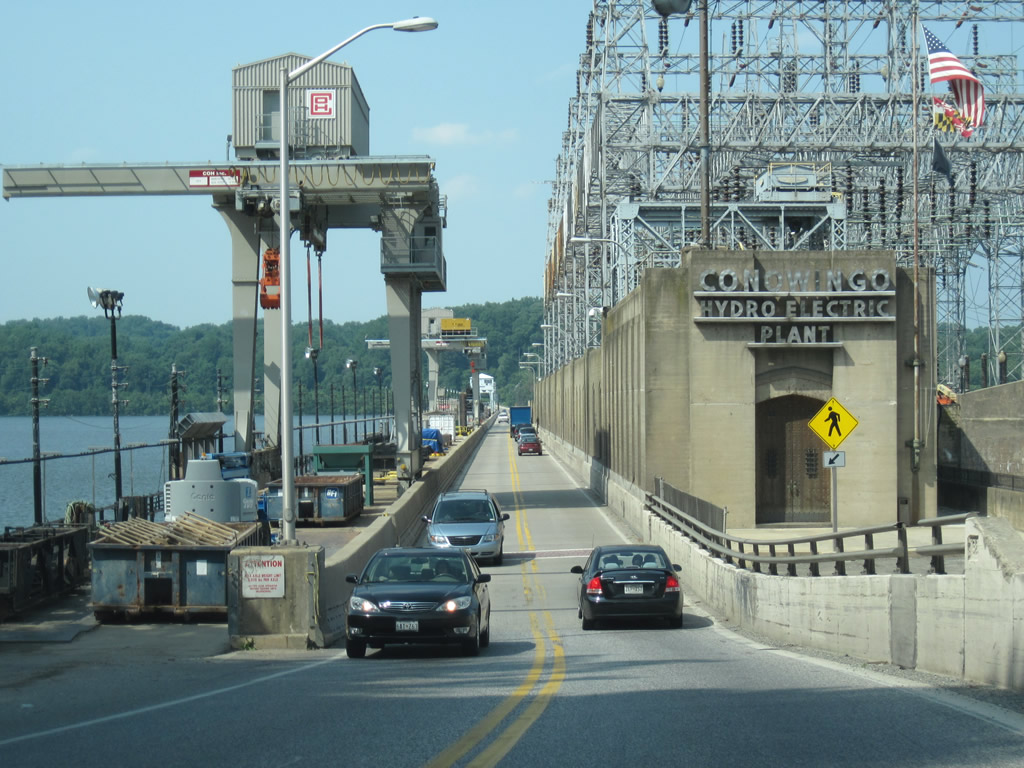
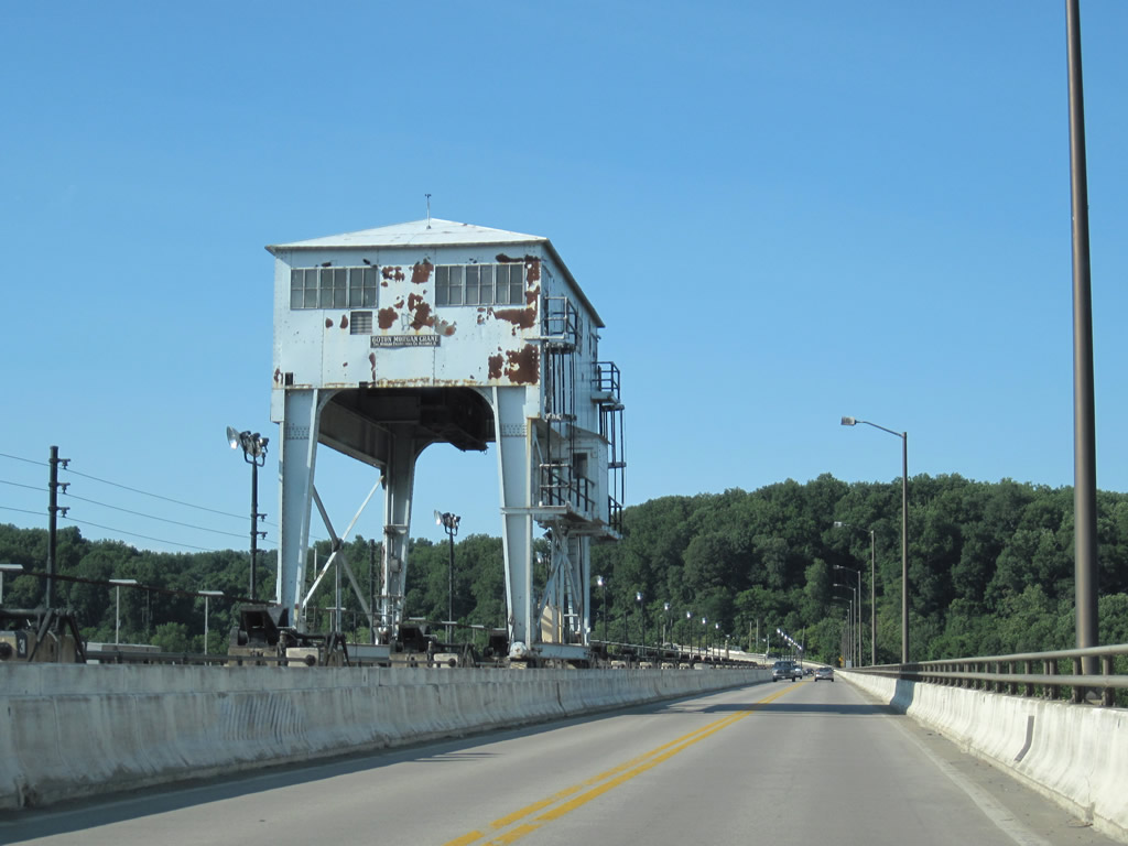
U.S. 1 northbound reaches Conowingo Dam, which spans the Susquehanna River southwest of the town of Conowingo. Conowingo Dam is a fully functioning power generating facility, opened in 1928 and expanded in 1978. A concrete dam, it is 105 feet tall and is jointly owned by Susquehanna Power Company and Philadelphia Electric Power Company (PECO).
06/30/10
04/30/04
06/25/10
U.S. 1 narrows considerably across Conowingo Dam; midway across the Susquehanna River is the dividing line between Harford and Cecil Counties. Conowingo Dam represents the only toll-free road crossing of the Susquehanna within Maryland.
06/30/10
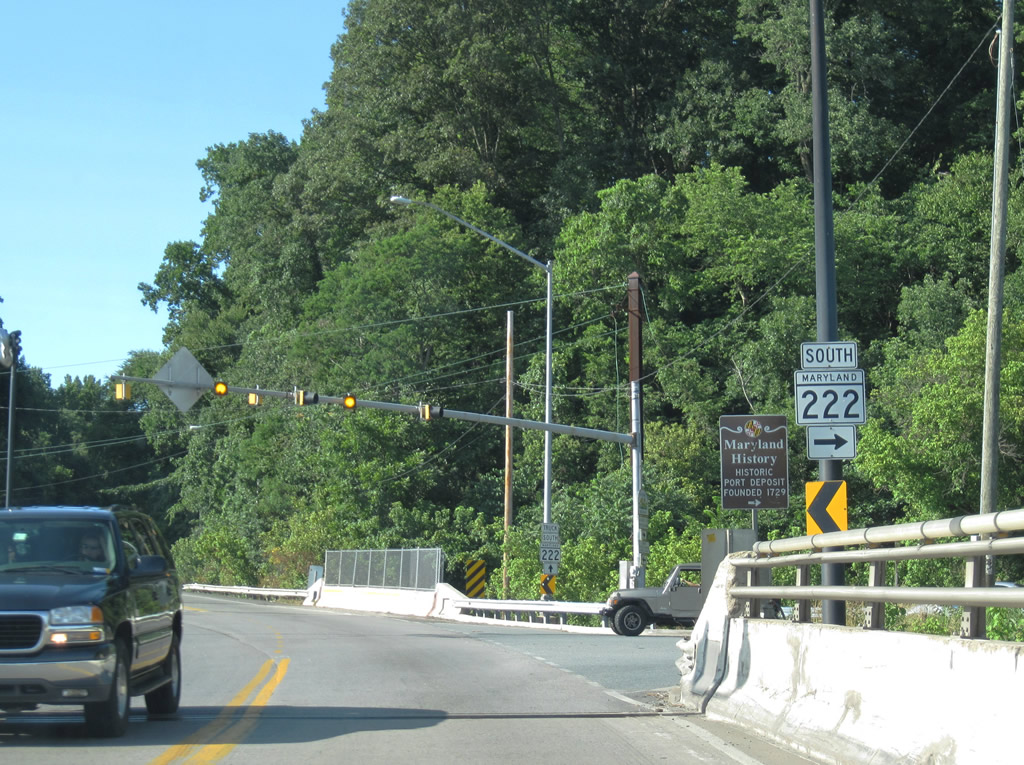
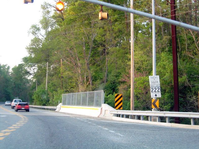
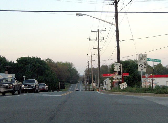
MD 222 (Susquehanna River Road) reaches its northern terminus at its intersection with U.S. 1 (Conowingo Road). Formerly U.S. 222, MD 222 represents a section of U.S. 222 truncated from MD 7 in Perryville northwest to Conowingo.
06/30/10
In 1995, U.S. 222 was removed from Susquehanna River Road in an effort to reduce traffic on a fairly narrow and winding road with a low clearance railroad bridge at Port Deposit. The truck route was placed in a previous effort to bypass large truck traffic from Port Deposit for the drive between Conowingo and Perryville. The truck alternate route of MD 222 is available via U.S. 1 north, MD 276 south, and MD 275 south before meeting MD 222 just north of Interstate 95. The new southern terminus of U.S. 222 is located just ahead on U.S. 1.
04/30/04
U.S. 1 and former U.S. 222 north travel along Conowingo Road toward Conowingo and U.S. 222 (Rock Springs Road) at Rowlandsville Road. Overall U.S. 222 links Cecil County with Lancaster, Pennsylvania in conjunction with PA 272.
06/05/05
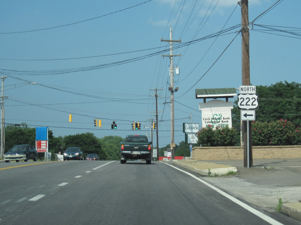
U.S. 222 commences along Rock Springs Road from U.S. 1 at Kilby Corner to Lancaster, Reading, Kutztown and Allentown, Pennsylvania. The Maryland portion of U.S. 222 extends 3.59 miles south from the Keystone State.
06/25/10
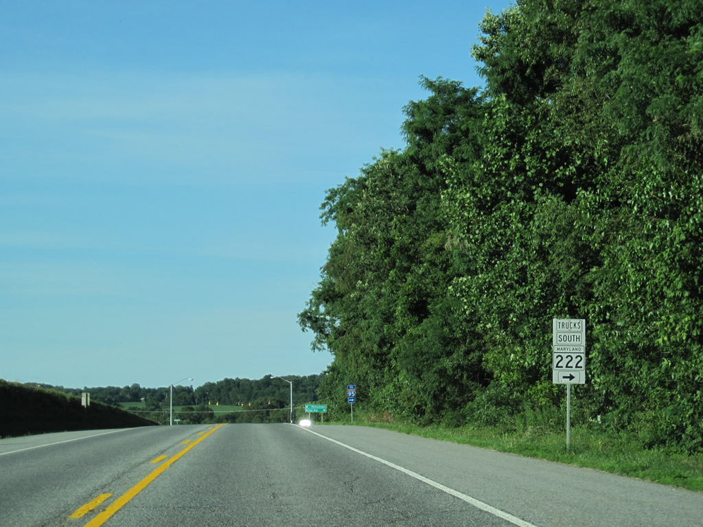
A truck alternate route for MD 222 south is signed along northbound U.S. 1 (Conowingo Road) after the U.S. 222 (Rock Springs Road) intersection. MD 222 Truck is a remnant of U.S. 222 Truck. The alternate route is mandatory for large trucks due to the narrow nature of MD 222 (Main Street) in Port Deposit.
04/30/04
Colora Road (MD 591) represents part of an old alignment of U.S. 1 across Octoraro Creek. Prior to removal of the original bridge, U.S. 1 followed Colora Road and Porters Bridge Road across the creek. MD 591 is split between the two segments of the old alignment.
08/11/05
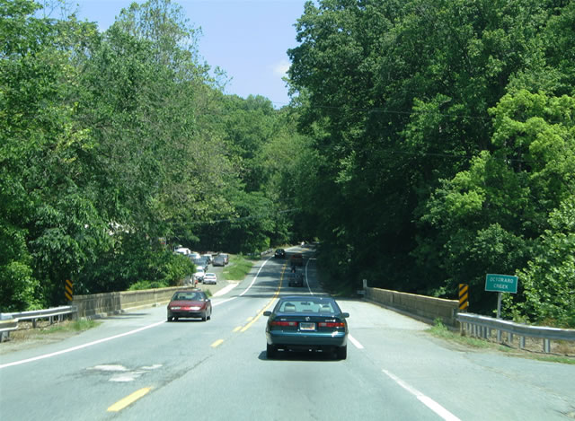
The U.S. 1 Octoraro Creek bridge is an older span with a concrete guardrail.
06/05/05
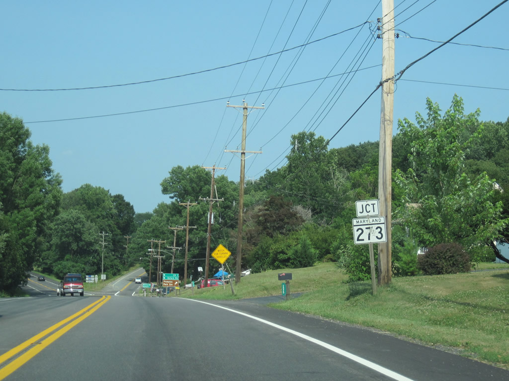
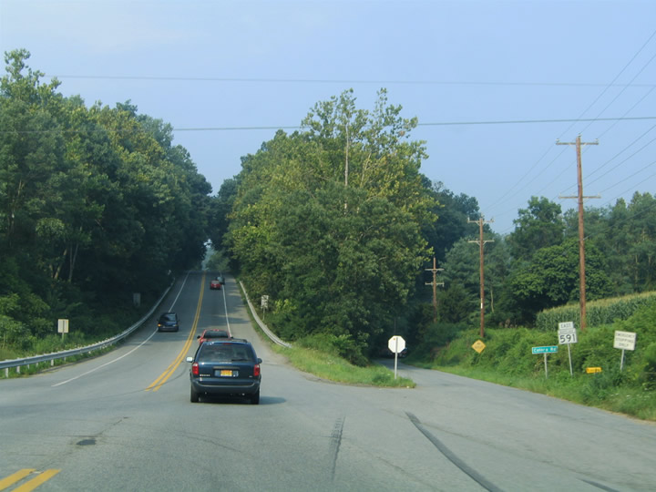
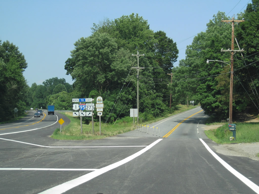
U.S. 1 approaches MD 273, which follows Rising Sun Road east through Rising Sun, Calvert, Fair Hill, and Appleton, then changes into SR 273 upon entering the First State. This is an excellent route into Newark, Delaware, without rejoining Interstate 95 or following slower U.S. 40/Pulaski Highway through Elkton. Of course, MD 273 is also part of a longer alternate route for avoiding the Susquehanna River Bridge tolls on both routes and the Delaware Turnpike toll on Interstate 95 near Newark.
06/25/10
Beyond the separation with MD 273, U.S. 1 continues northeast toward Nottingham and Oxford in Pennsylvania. The highway upgrades to a freeway en route to Kennett Square. MDOT advises motorists headed to I-95 to follow MD 222 Truck & MD 276 south in lieu of MD 273 here.
06/05/05
06/25/10
U.S. 1 reassurance marker posted beyond the westbound MD 273 connector road to Conowingo Road.
08/11/05
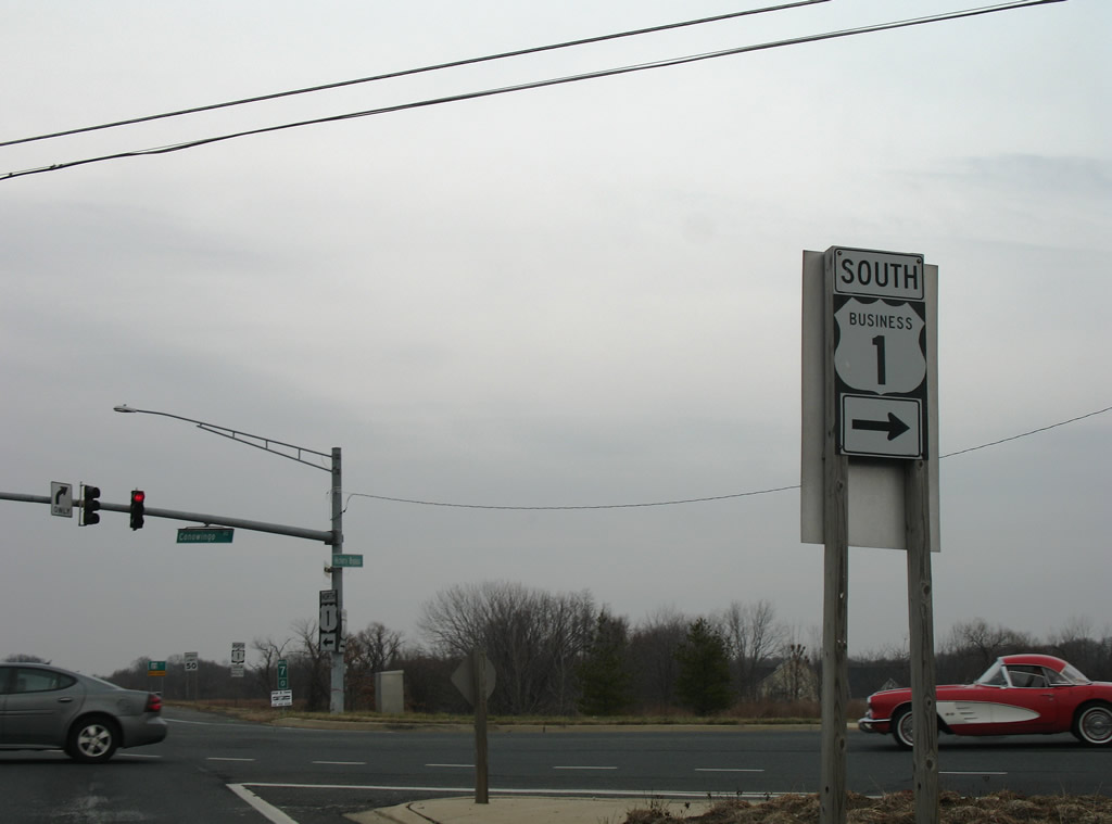
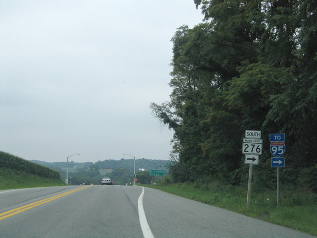
Shortly after the MD 273 split is the turn off for South Truck MD 222 and MD 276 (Jacob Tome Memorial Highway) to Interstate 95. This is not the most direct route but is the preferred route for trucks. Do not continue straight ahead on U.S. 1 in search of Interstate 95; they do not rejoin until north of Philadelphia!
07/02/10
Truck MD 222 departs U.S. 1 and follows MD 276 (Jacob Tome Memorial Highway) south to MD 275 south back to MD 222. MD 276 bypasses the nearby town of Rising Sun to the west.
07/02/10
Slicers Mill Road extends from the north end of MD 276 and U.S. 1 (Conowingo Road) into rural farm land. W Pearl Street stems east from MD 276 nearby into Rising Sun.
07/25/04
07/02/10
U.S. 1 northbound on Conowingo Road after its intersection with MD 276 (Jacob Tome Memorial Highway). The US route originally traveled through Rising Sun via Rising Sun Road / Main Street (MD 273) east and Walnut Street north. The highway bypasses town to the north and intersects Walnut Street in one mile.
07/25/04
Continuing north, U.S. 1 (Conowingo Road) reaches the Pennsylvania state line in four miles where the highway upgrades into a freeway bypass around Nottingham and Oxford.
07/02/10
Mount Street leads south and splits with Walnut Street (former U.S. 1) from Conowingo Road into Rising Sun. Red Pump Road travels north from a set of flashers at U.S. 1 to Lees Mill, Pennsylvania.
07/02/10
U.S. 1 (Conowingo Road) pushes east toward Stevens and Little New York Road as it curves toward the Chester County, Pennsylvania line.
07/02/10

References:
http://www.esm.versar.com/pprp/powerplants-new/conowingo.htm
Photo Credits:
- Alex Nitzman: 04/30/04, 07/25/04, 06/05/05, 08/11/05, 12/28/07, 06/30/10, 07/02/10, 07/06/10
- ABRoads: 06/25/10
Connect with:
Page Updated Friday August 20, 2010.