
U.S. 1 South - Warren / Vance Counties


 South
South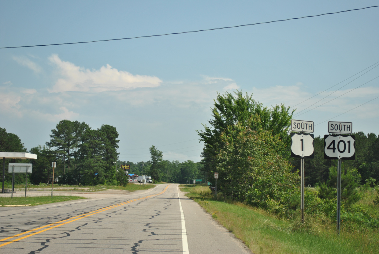
The first shield for U.S. 401 south stands just beyond the diamond interchange joining U.S. 1 with I-85 in north Warren County. U.S. 1/401 continue three miles to Wise and six miles to split at Norlina.
06/01/12
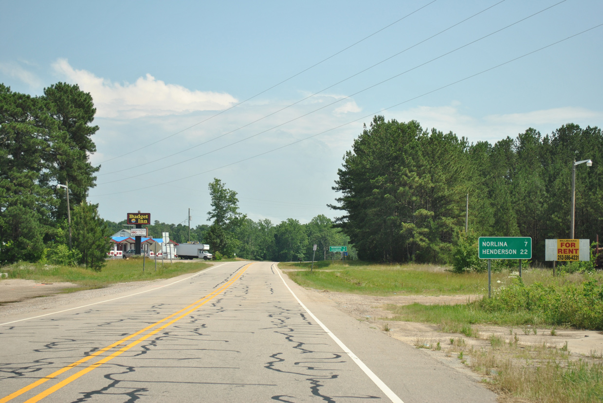
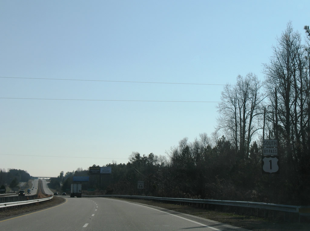
Two sets of distance signs are posted, the first for U.S. 1 to Henderson.
06/01/12
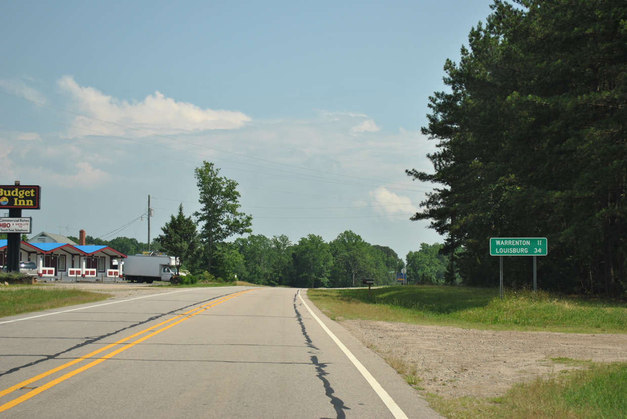
U.S. 401 travels 11 miles south to Warrenton where it meets U.S. 158 Business and 34 miles to Louisburg.
06/01/12
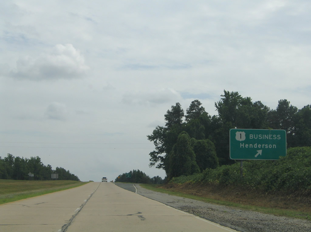
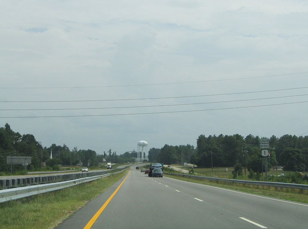
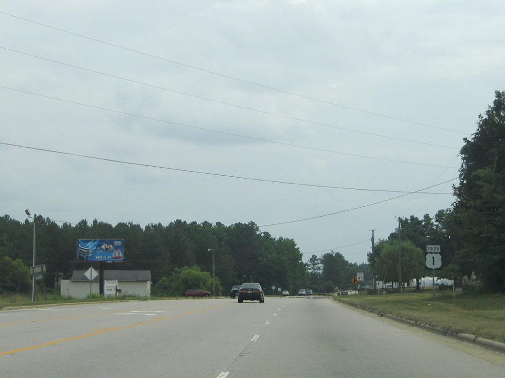
SR 1437 links I-85 southbound at Exit 218 with U.S. 1/158 north and U.S. 158/1 Business south. U.S. 1 shifts onto a freeway bypassing Henderson while U.S. 158/1 Business combine into Henderson along Garnett Street.
07/12/05
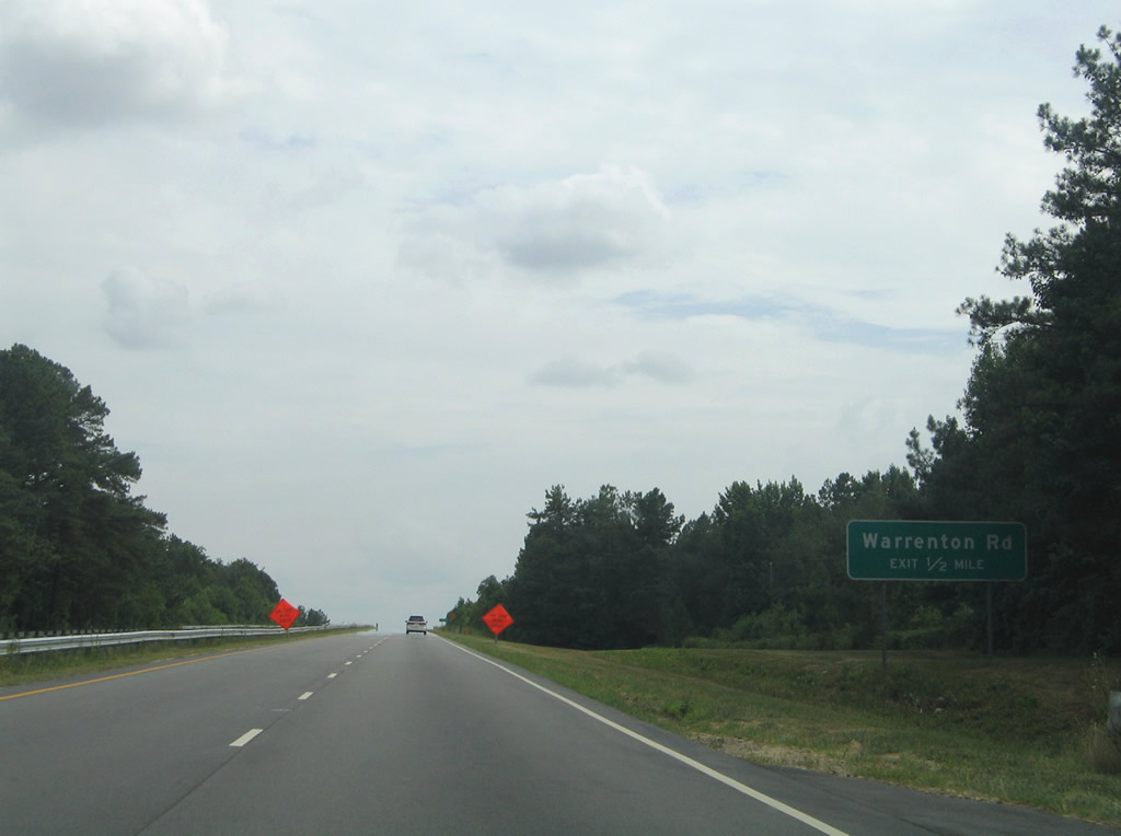
Warrenton Road (SR 1001) runs east from U.S. 158/1 Business (Garnett Street) in North Henderson to a folded diamond interchange with U.S. 1.
07/12/05
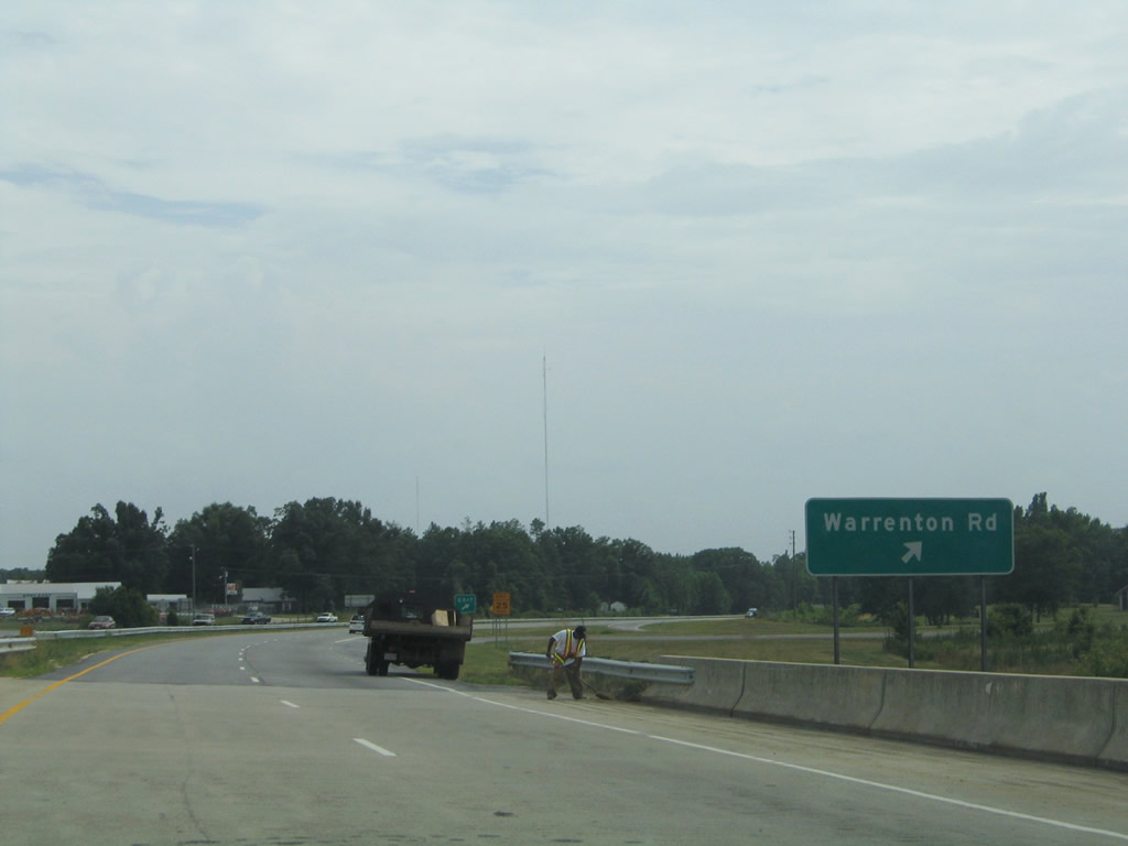
Warrenton Road runs east from U.S. 1 to Greystone and the Warren County line. Martin Luther King Boulevard continues the road to Warrenton and U.S. 401.
07/12/05
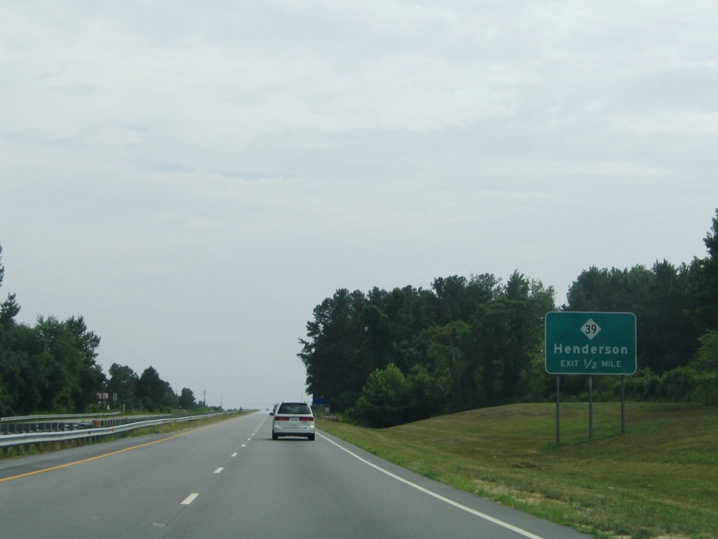
NC 39 follows Andrews Avenue southeast from Downtown Henderson to a diamond interchange with U.S. 1.
07/12/05
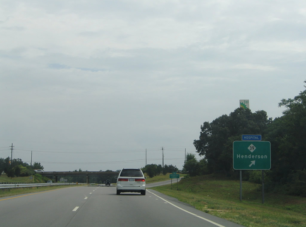
NC 39 heads four miles south from U.S. 1 to Gillburg and 18 miles to Louisburg with U.S. 401. NC 39 overall runs 80 miles between Selma and the Virginia state line near Kerr Lake.
07/12/05
Confirming marker posted south after the entrance ramp from Andrews Avenue.
01/02/08
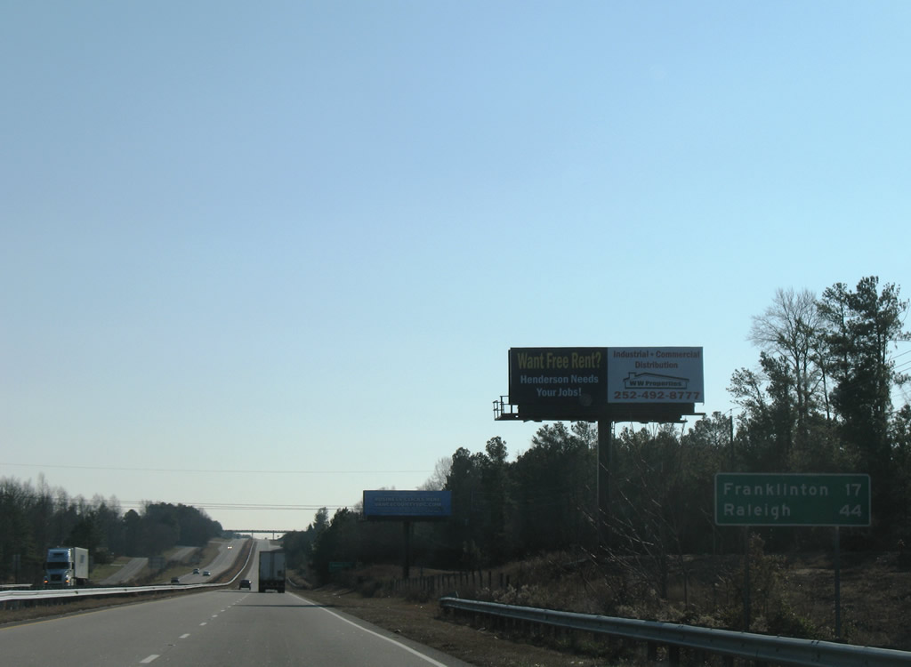
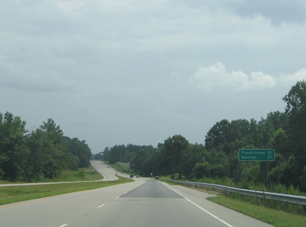
Franklinton (NC 56) is another 17 miles south on U.S. 1, followed by Raleigh in 44 miles.
01/02/08
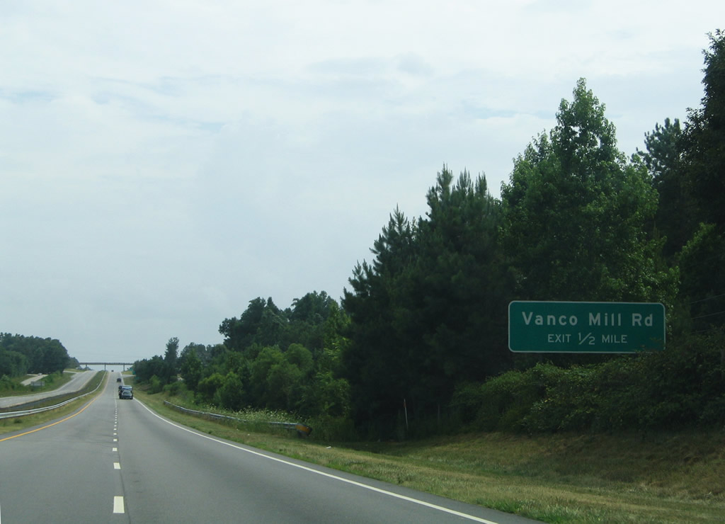
Vanco Mill Road south and Old Epsom Road north come together at an interchange with U.S. 1 near South Henderson.
06/01/12
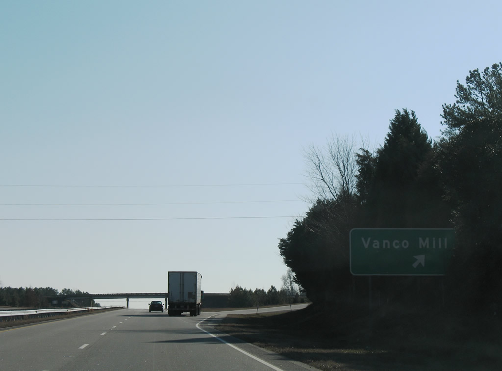
Vanco Mill Road angles southeast from the diamond interchange with U.S. 1 to NC 39. Old Epsom Road meanders northwest to Alexander Avenue in Henderson.
01/02/08
Distribution centers and other industrial businesses lie adjacent to the U.S. 1 service road system.
07/12/05
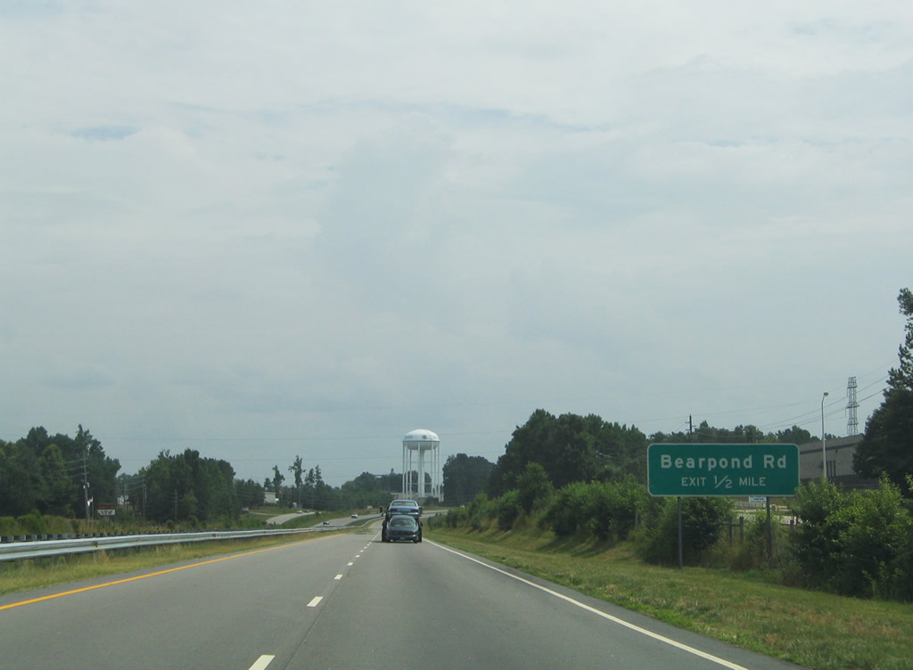
The diamond interchange with Bearpond Road is the last Henderson area exit on U.S. 1 south.
07/12/05
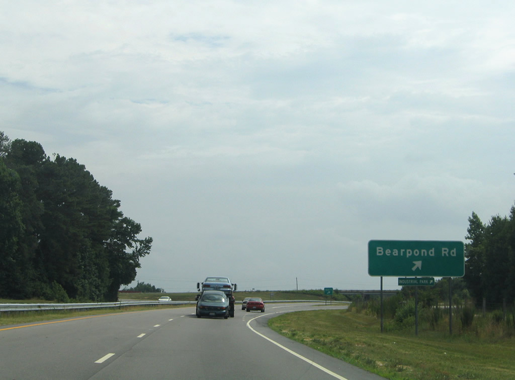
Bearpond Road travels a short distance west to U.S. 1 Business (Raleigh Road) at Lynnbank Road. Eastward the road angles southeast to Gillburg Road south of NC 39.
07/12/05
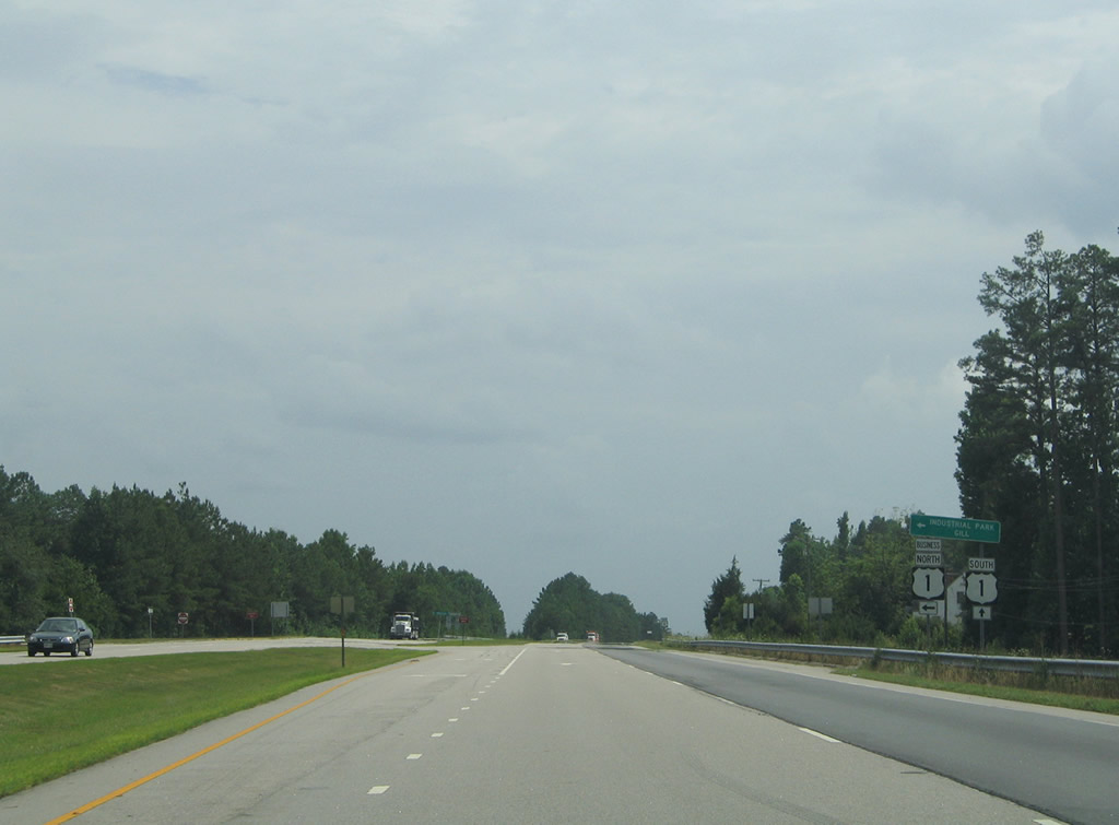
U.S. 1 transitions from a freeway into an at-grade divided highway beyond the half diamond interchange with U.S. 1 Business (Raleigh Road) north.
07/12/05
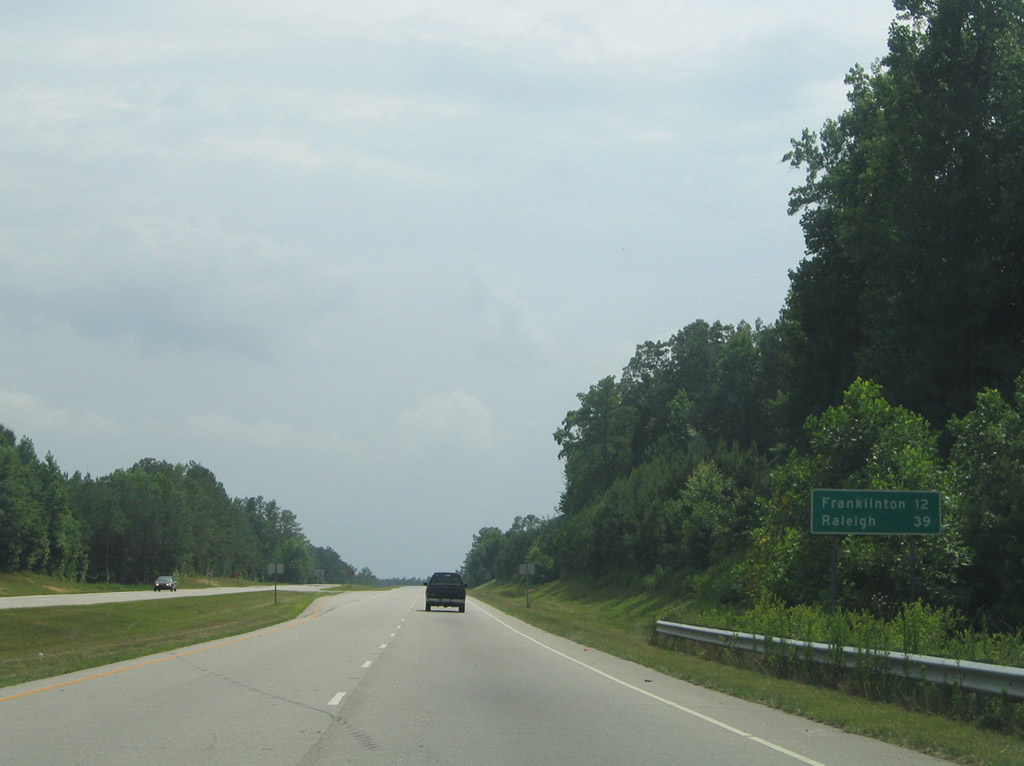
U.S. 1 Business travels Raleigh Road through Gill while U.S. 1 bypasses to the west. Franklinton and Raleigh remain a 12 and 39 mile drive respectively.
07/12/05

Edwards Road travels south from Lynnbank Road across U.S. 1 to U.S. 1 Business (Raleigh Road) before this reassurance shield.
07/12/05
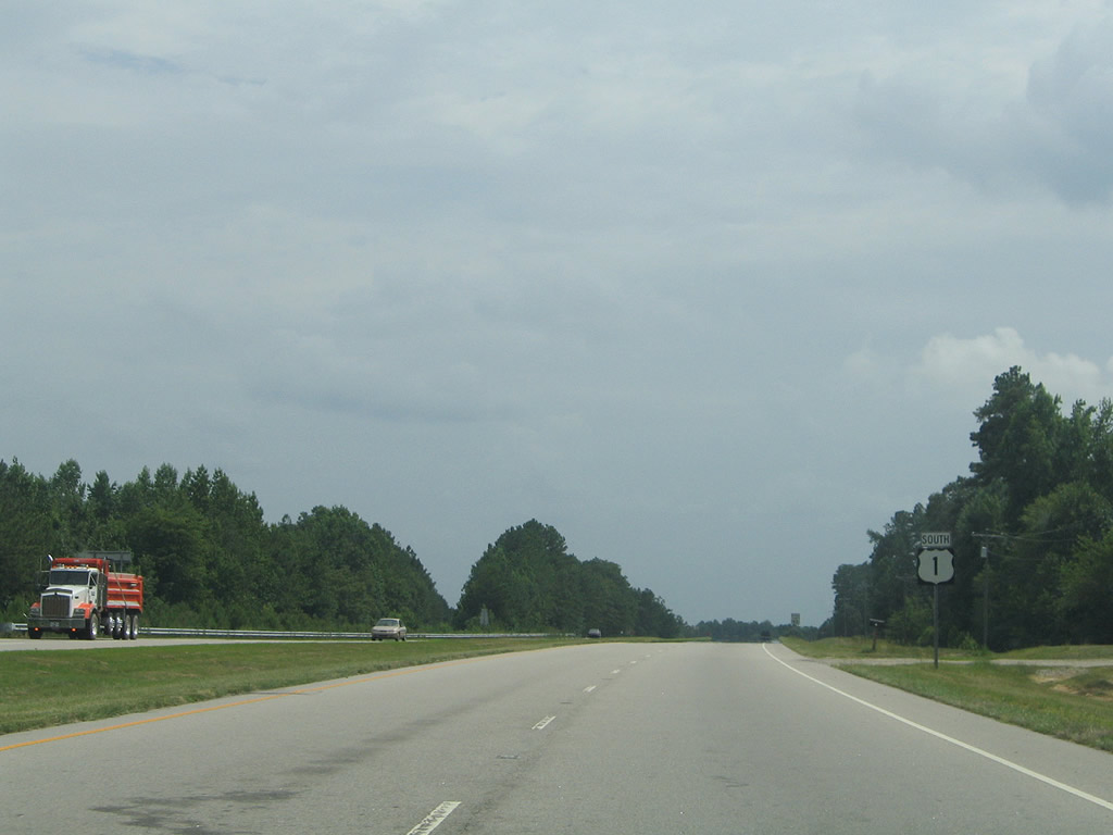
U.S. 1 Business returns to U.S. 1 south of Lake Lodge Road. The loop travels alongside the CSX Railroad north to Chavis Road and the rural community of Gill.
07/12/05
U.S. 1 continues south toward Kittrell on the ten mile drive to Franklintown.
07/12/05
U.S. 1 south transitions into a five lane boulevard through Kittrell in southern Vance County. This shield precedes Kittrell Vance Avenue.
07/12/05
Continuing south from Kittrell, U.S. 1 again widens into a rural four lane divided highway ahead of the Tar River.
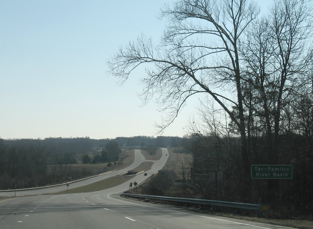
01/02/08
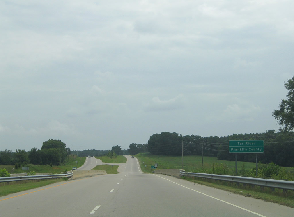
The Tar River represents the Franklin County line. U.S. 1 maintains rural southward toward Franklinton.
07/12/05

Photo Credits:
- AARoads: 06/01/12
- Alex Nitzman: 07/12/05, 01/02/08
Connect with:
Page Updated Monday January 28, 2013.