
U.S. 1 South - Indian River County

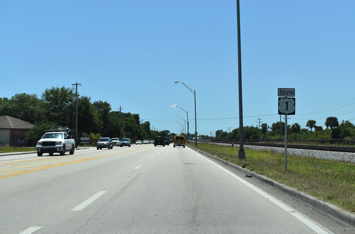
 South
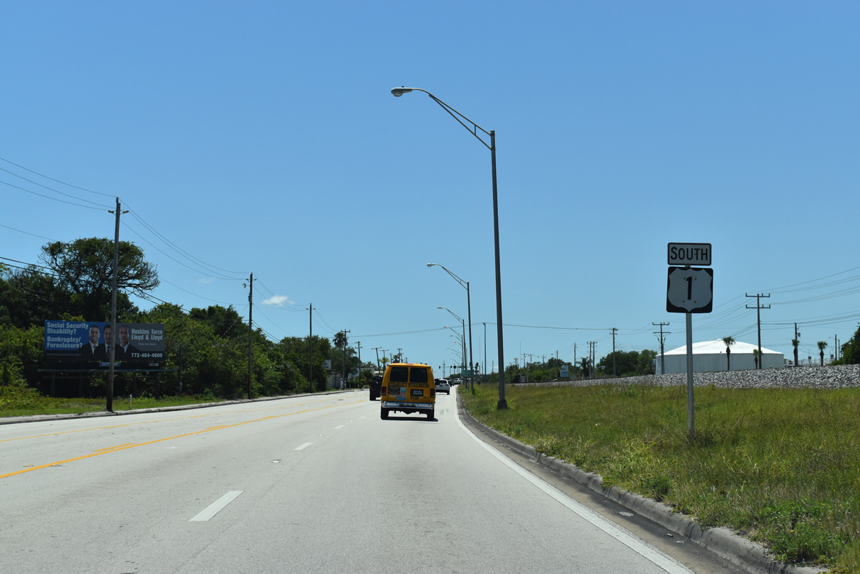
South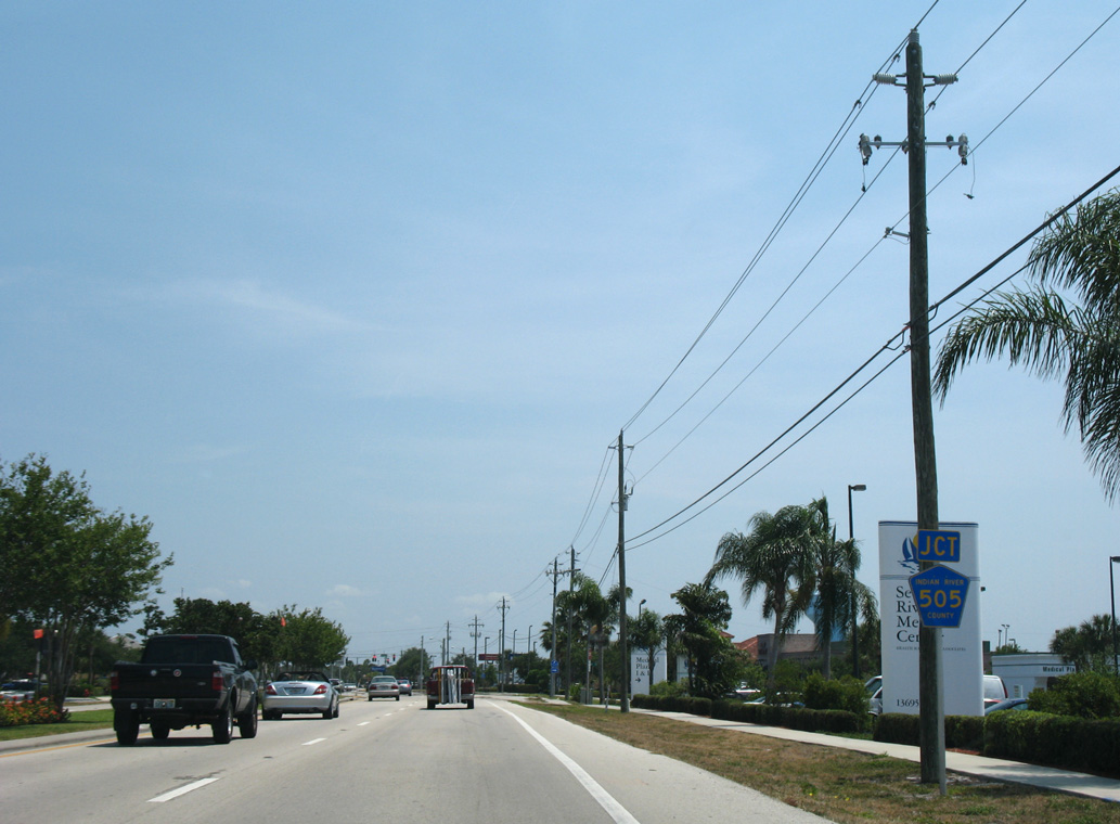
CR 505 (Roseland Road) comprises a 4.69 mile loop south from U.S. 1 to Sebastian Municipal Airport (X26) and CR 512 (Sebastian Boulevard).
05/16/08

Roseland Road extends east from U.S. 1 and CR 505 to Indian River Drive, which parallels the west banks of the Indian River.
05/16/08
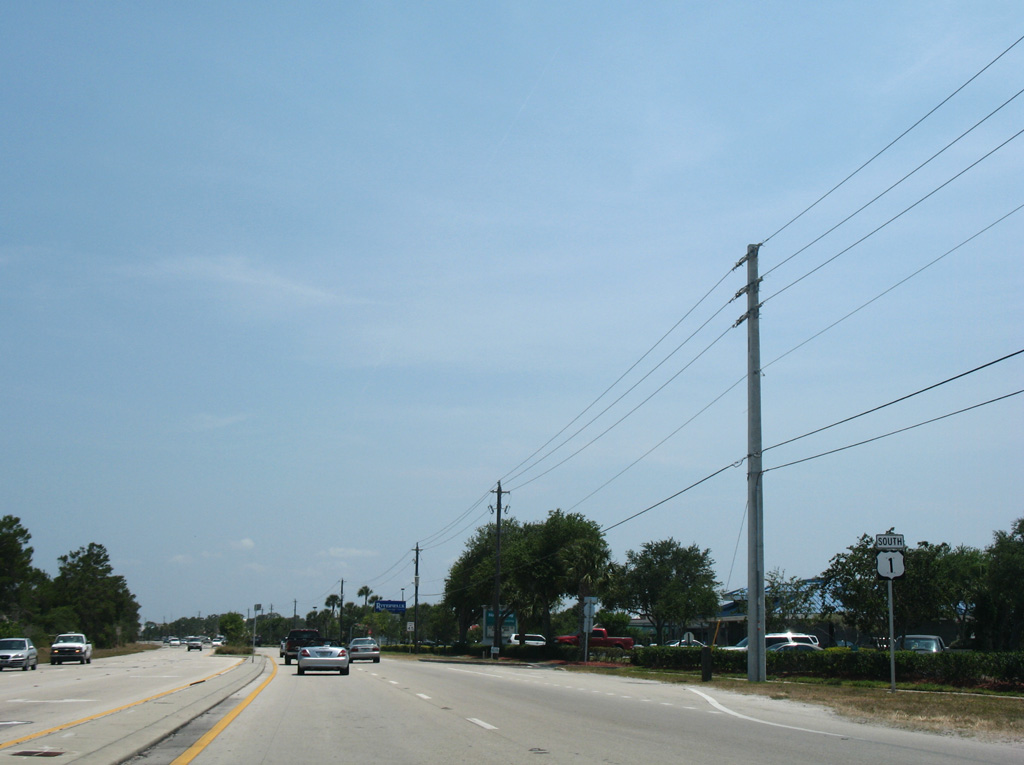
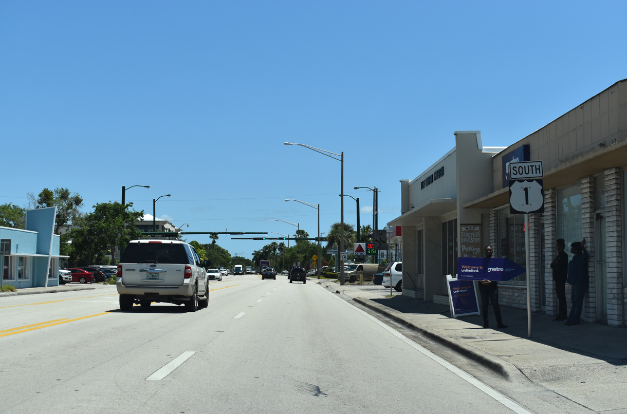
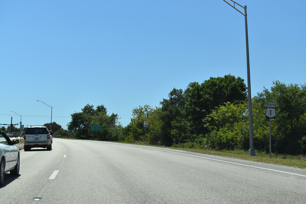
U.S. 1 advances south from the unincorporated community of Roseland into the city of Sebastian.
05/16/08
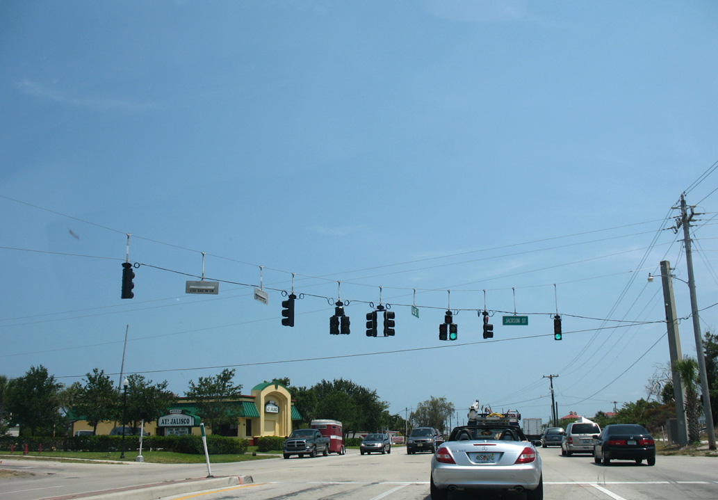
Jackson Street in Sebastian links U.S. 1 with big box retail and parallel Old Dixie Highway.
05/16/08
U.S. 1 converges with Old Dixie Highway at Central Avenue adjacent to the Oyster Bay Resort community.
05/16/08

Main Street angles southwest along the Sebastian residential street grid from adjacent Indian River Drive to Sebastian Municipal Golf Course and Winbrow Drive.
05/16/08

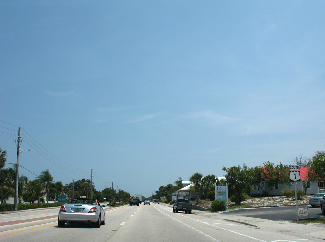
U.S. 1 continues 0.4 mile south from Main Street to CR 512 (Sebastian Boulevard).
05/16/08

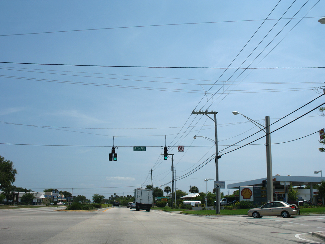
CR 512 (Sebastian Boulevard) travels nine miles southwest from U.S. 1 at Sebastian to the city of Fellsmere.
05/16/08
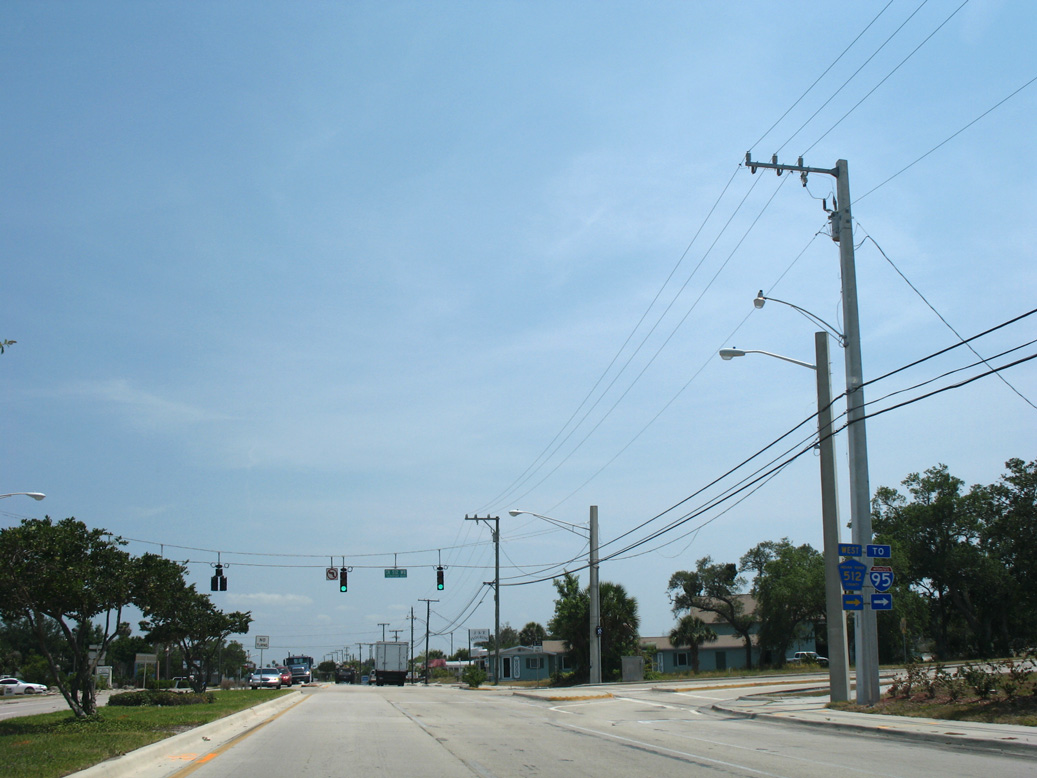
The northernmost section of CR 512 partitions into a one way couplet connecting with U.S. 1. The county road forms a 19.65 mile loop to SR 60 east of St. Johns Marsh.
05/16/08
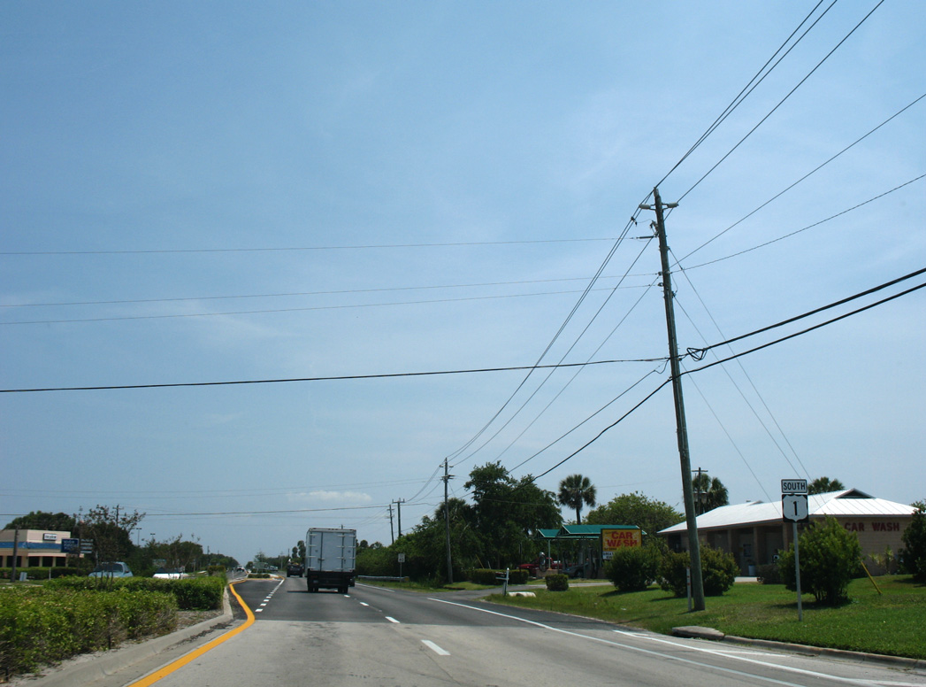
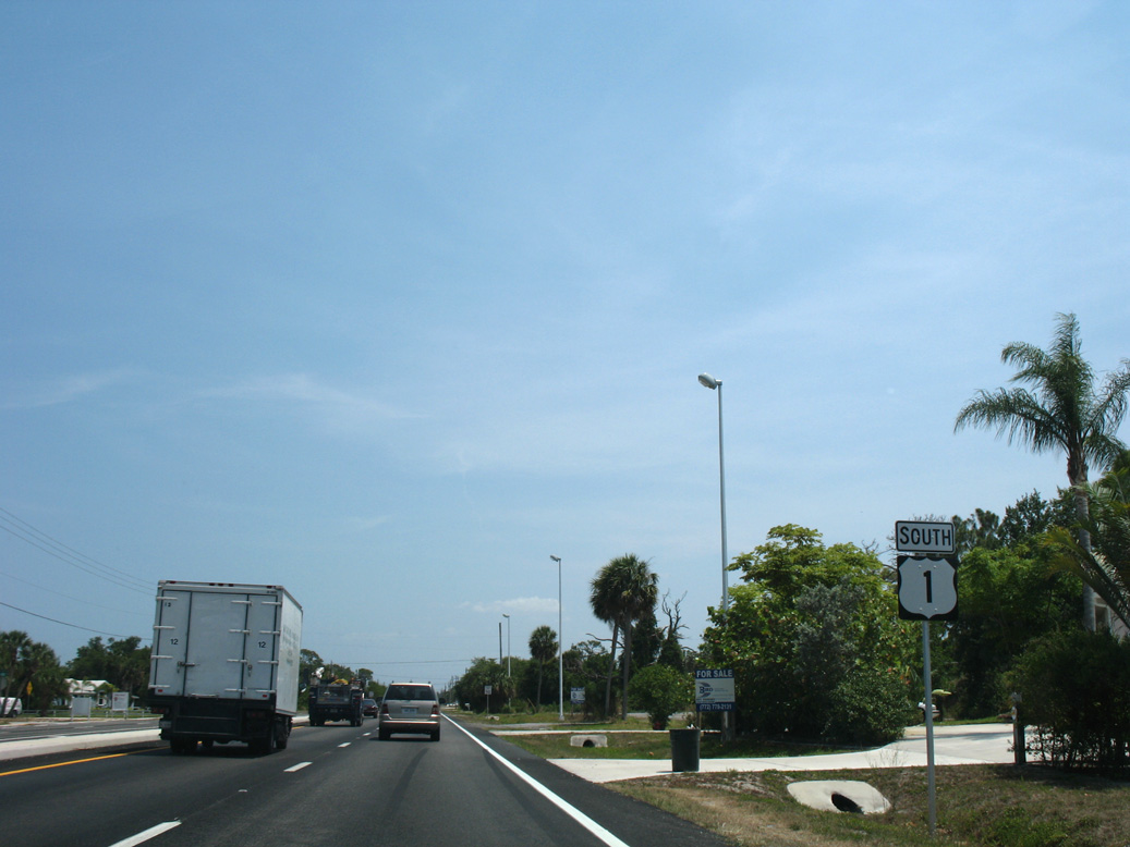
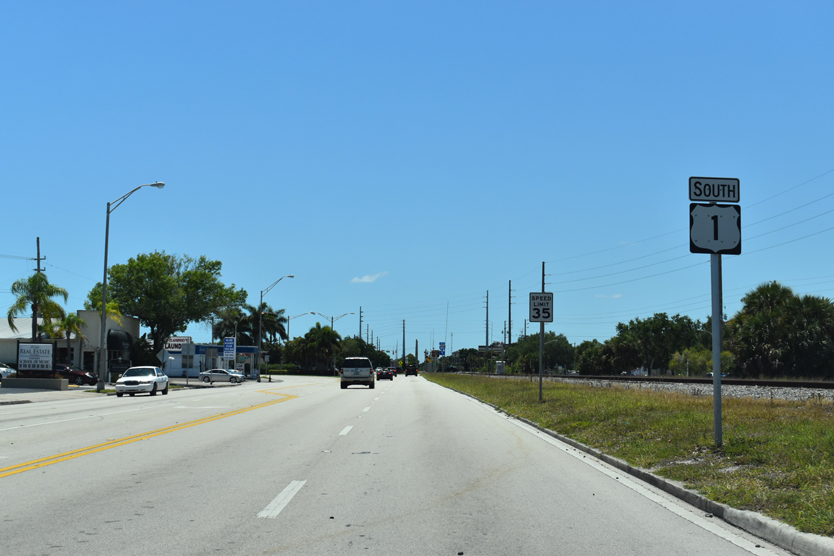
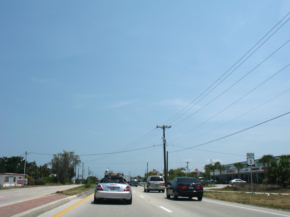
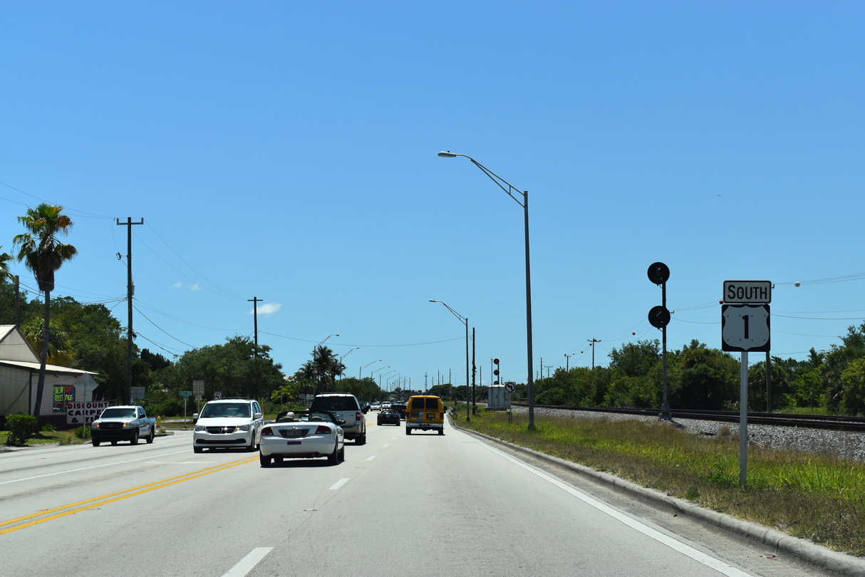
Vero Beach lies 12 miles south of Sebastian Boulevard via U.S. 1.
05/16/08
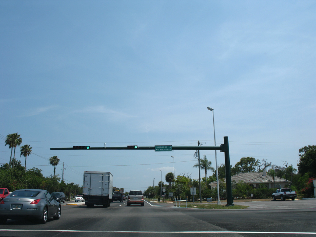
Schumann Drive comprises a suburban boulevard through residential areas southwest of U.S. 1 at Mirror Lake Drive. A 10.86 mile route, CR 615 follows Schumann Drive south to 66th Avenue and SR 60 at the West Vero Corridor.
05/16/08
U.S. 1 leaves the Sebastian city limits south of Schumann Drive (CR 615).
05/16/08

Barber Street ties into U.S. 1 from Sebastian across from the Pelican Pointe development.
05/16/08
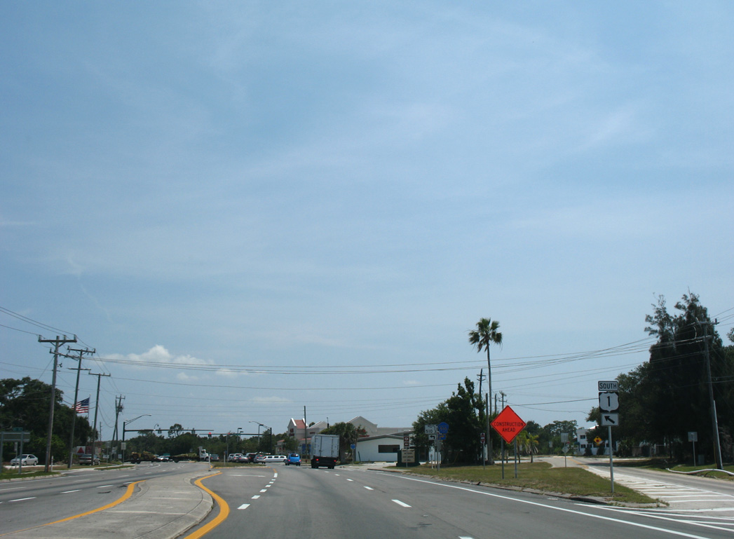
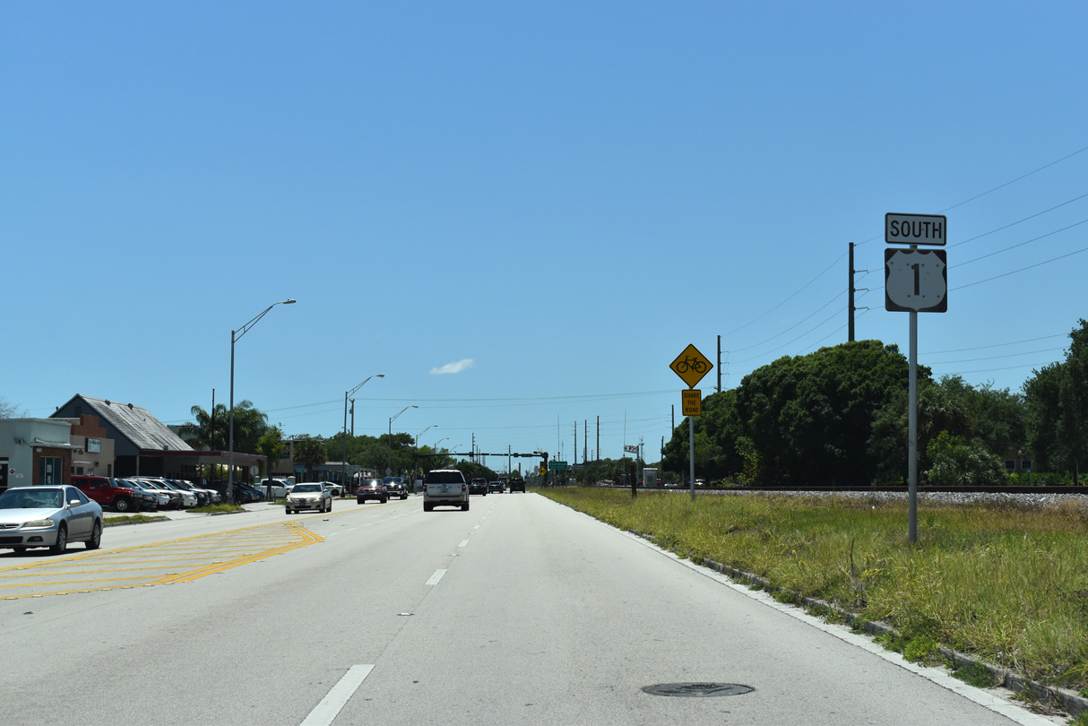
Old Dixie Highway (unsigned CR 5A) branches south from U.S. 1 ahead of CR 510 (85th Street) west and SR 510 (Wabasso Road) east. CR 5A parallels the west side of U.S. 1 for the next 6.22 miles.
05/16/08

State Road 510 spans the Indian River across the A.B. Michael Bridge east to the town of Orchid and SR A1A on Orchid Island.
05/16/08
Indian River County Road 510 extends west from SR 510 and U.S. 1 at Wabasso 5.8 miles to Vero Lake Estates and CR 512 (Sebastian Boulevard).
05/16/08
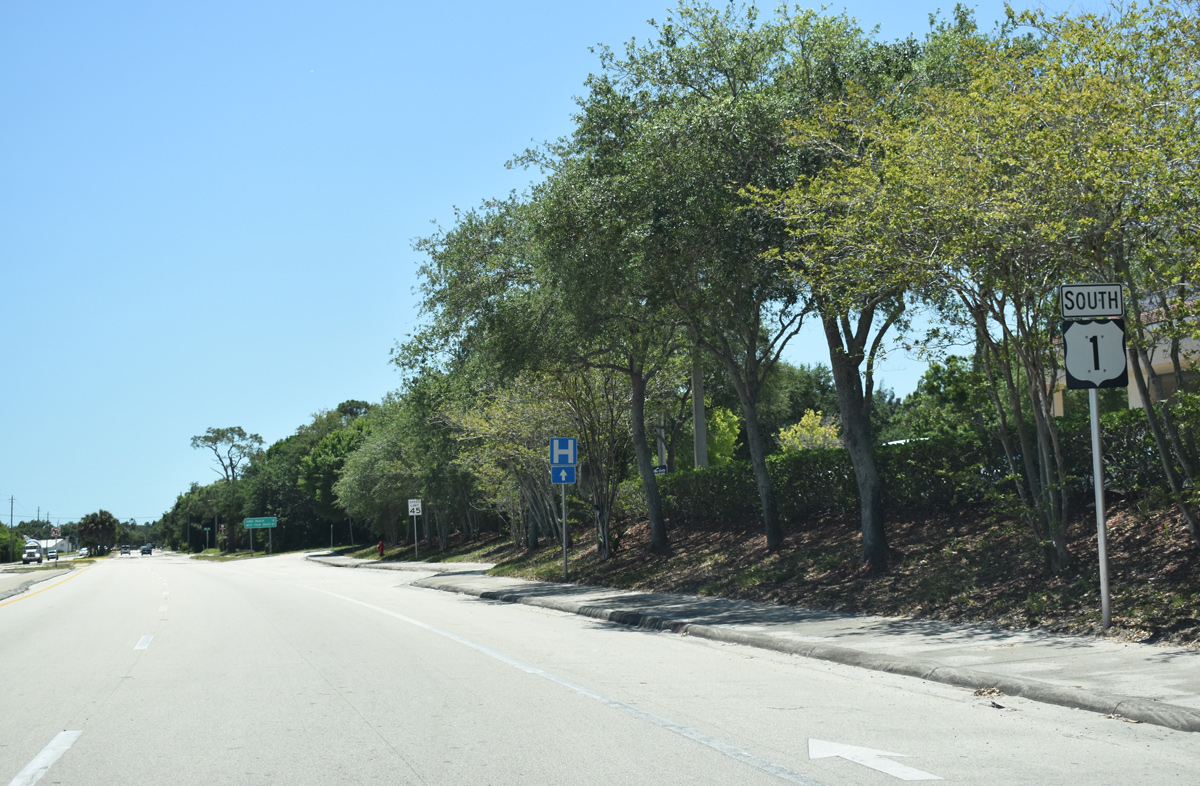
Confirming marker posted south of CR 510 (85th Street) and SR 510 (Wabasso Road).
04/24/19
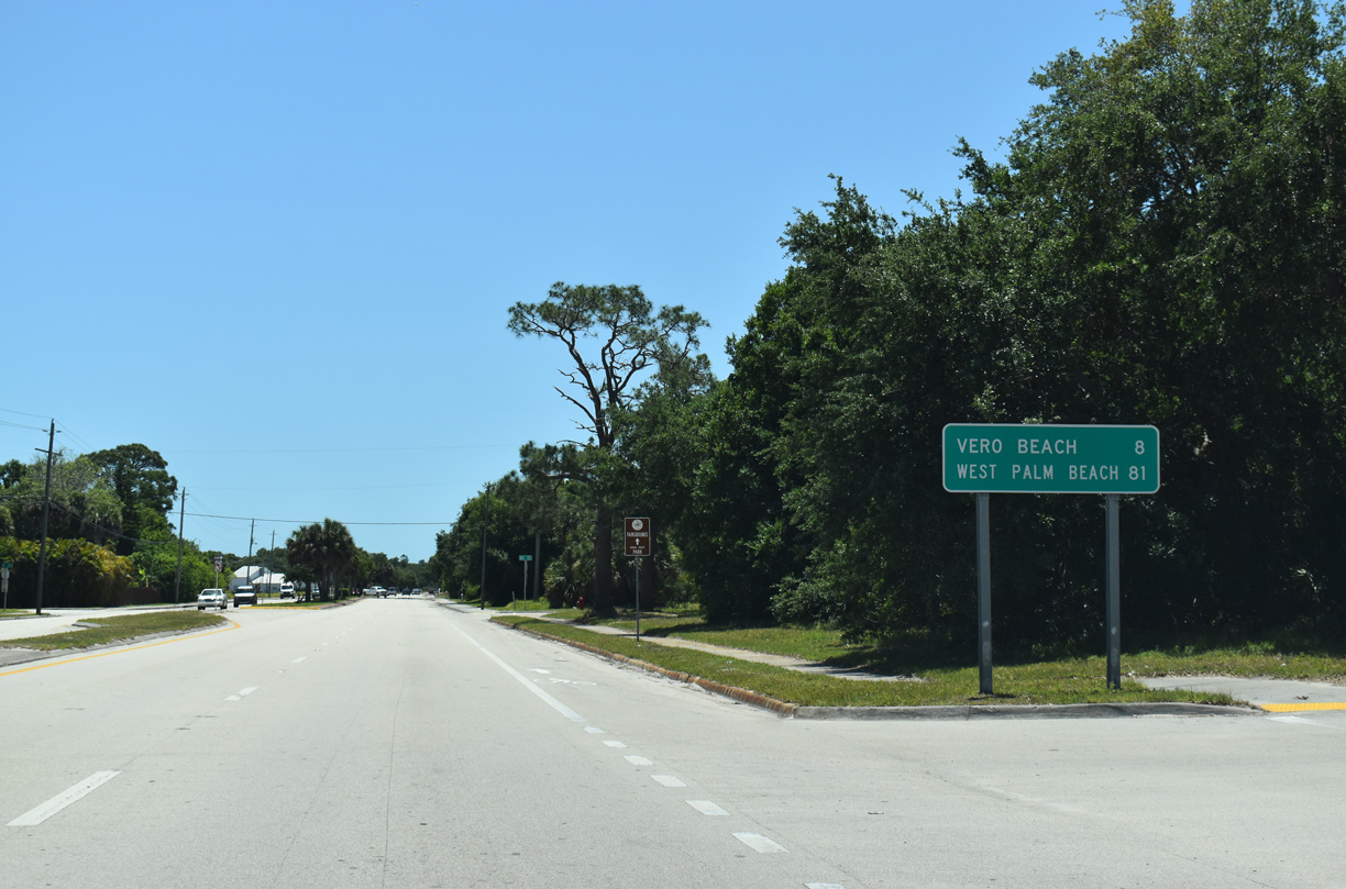
Downtown Vero Beach is eight miles south of Wabasso along U.S. 1. West Palm Beach follows in another 73 miles.
04/24/19

Entering the community of Winter Beach along U.S. 1 south at 71st Street.
04/24/19
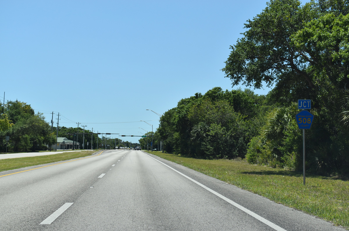
U.S. 1 meets the east end of Indian River County Road 508 (69th Street) at Winter Beach.
04/24/19
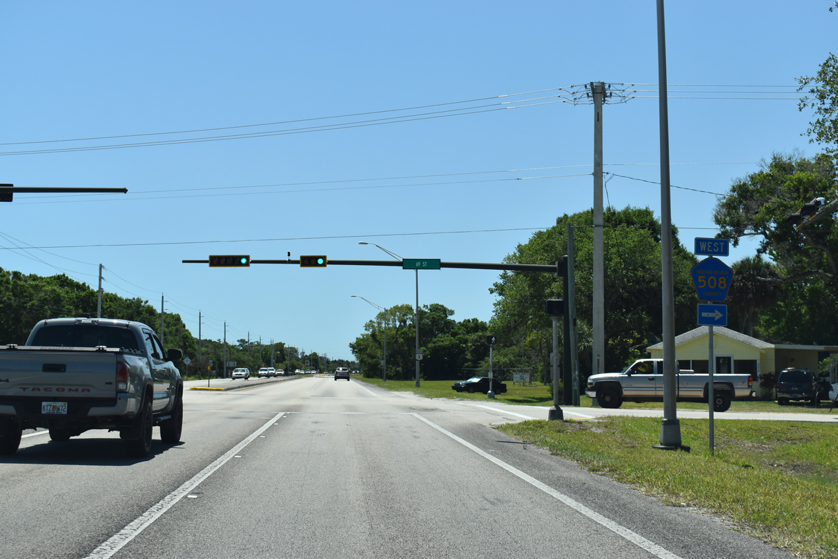
CR 508 follows 69th Street west 4.5 miles to Quad Valley Golf Club and CR 619 (82nd Avenue) south.
04/24/19
Leading away from CR 508 (69th Avenue), U.S. 1 passes by The Antilles development.
04/24/19

Forthcoming 53rd Street provides part of a cut off with Indian River Boulevard (CR 603) from U.S. 1 south to SR 60 east.
04/24/19

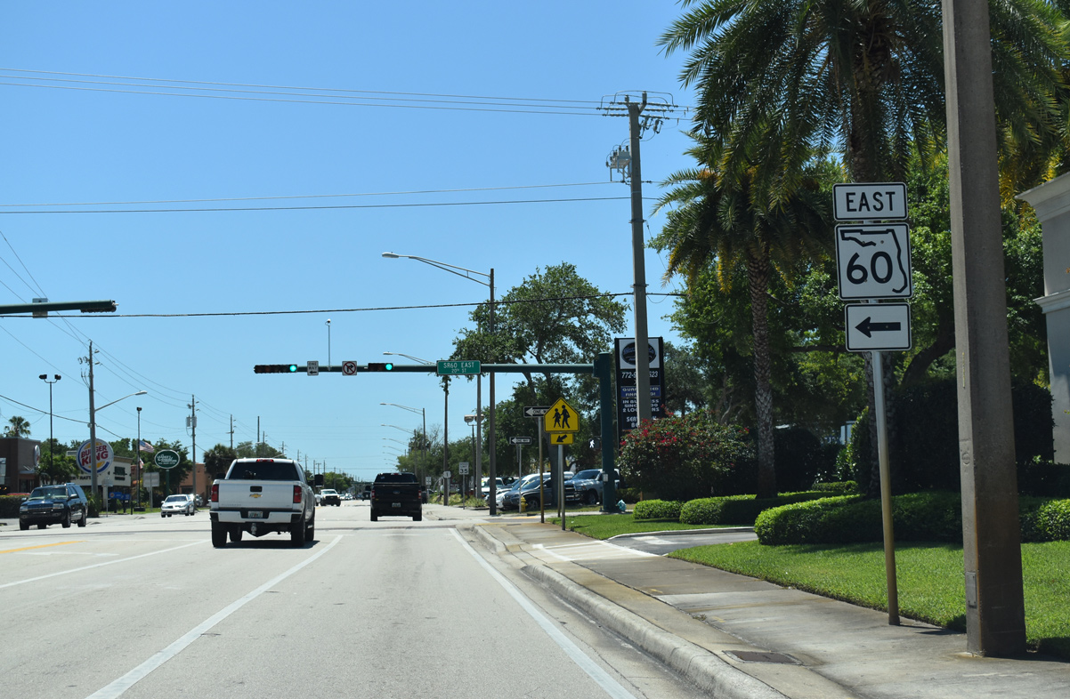
SR 60 crosses the Indian River east from Indian River Boulevard (CR 603) along the Merrill P. Barber Bridge to SR A1A on North Hutchinson Island.
04/24/19

53rd Street comprises a suburban arterial west from Indian River Boulevard and U.S. 1 to 58th Avenue (CR 613).
04/24/19
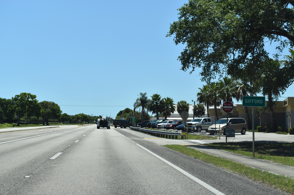
Heading south from 53rd Street (CR 603), U.S. 1 enters the unincorporated community of Gifford.
04/24/19

Martin Luther King, Boulevard (45th Street) crosses U.S. 1 at the succeeding traffic light south in Gifford. 45th Street west of adjacent Old Dixie Highway (CR 5A) is an unsigned branch of CR 611.
04/24/19

A number of industrial businesses line U.S. 1 south of MLK Boulevard (45th Street) at Gifford.
04/24/19

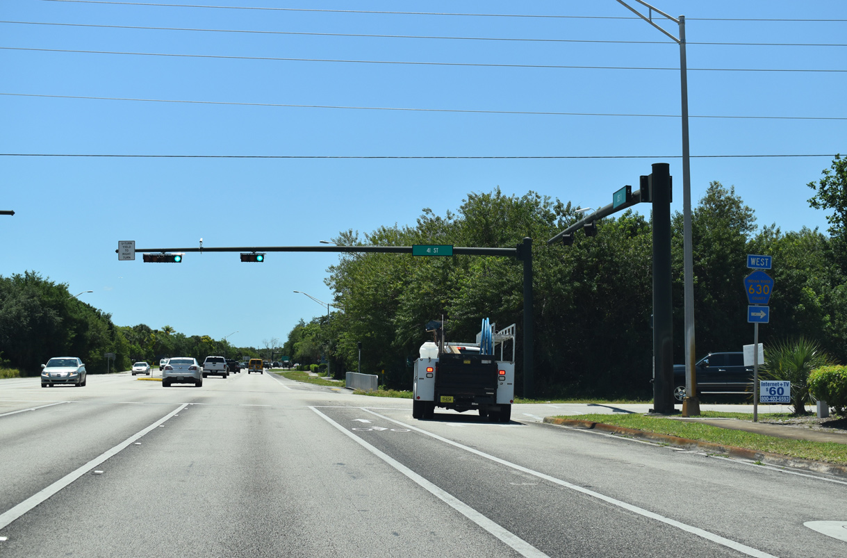
County Road 630 runs 4.25 miles east from CR 615 (66th Avenue) along 41st Street to U.S. 1 and Indian River Boulevard (CR 603).
04/24/19

CR 5A (Old Dixie Highway) converges with U.S. 1 south of CR 630 at 38th Lane.
04/24/19

37th Street stems east from U.S. 1 at the ensuing signal to Cleveland Clinic Indian River Hospital, an array of medical office parks and Indian River Boulevard.
04/24/19
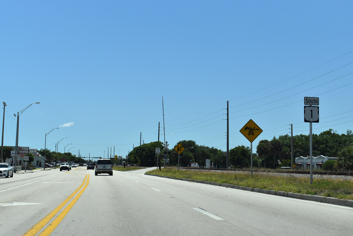
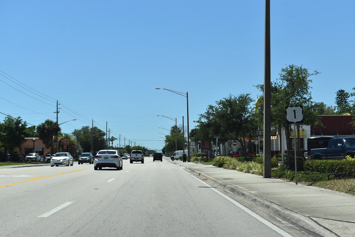
U.S. 1 runs side by side with the Florida East Coast (FEC) Railway south into Vero Beach.
04/24/19
U.S. 1 advances along the east side of Vero Beach Regional Airport (VRB).
04/24/19
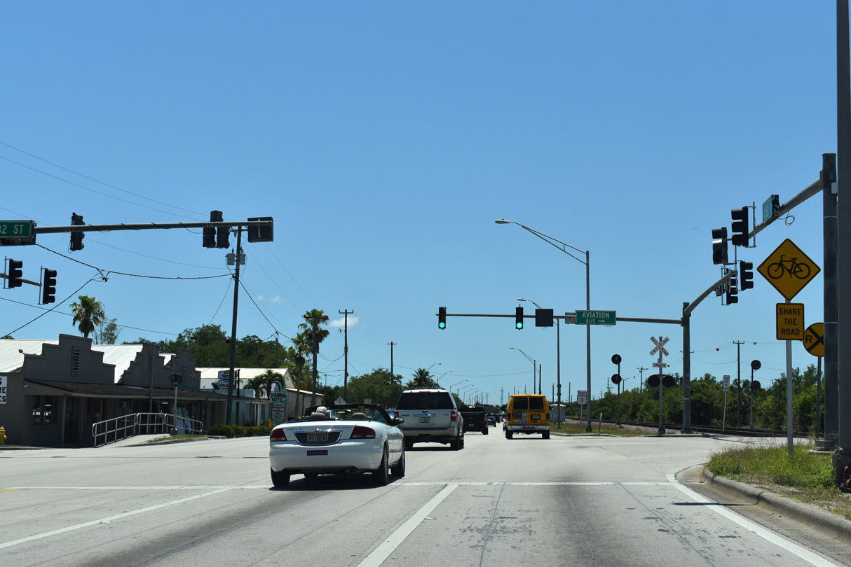
Aviation Boulevard winds west into Vero Beach Regional Airport (VRB), connecting U.S. 1 with the passenger terminal via Airport Drive.
04/24/19
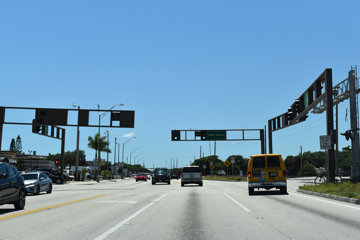
Crossing Main Canal, U.S. 1 proceeds south to 26th Street in Vero Beach.
04/24/19
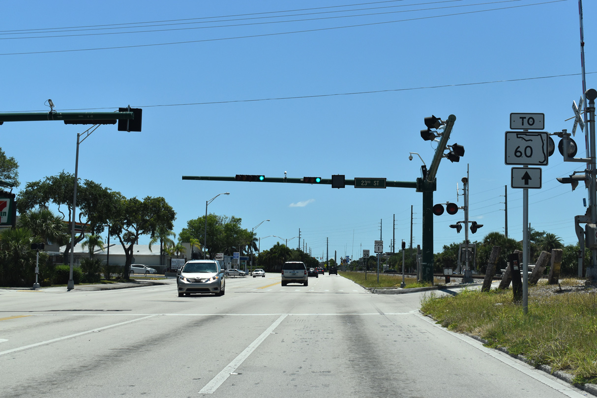
23rd Street east and Royal Palm Boulevard west come together at the succeeding signal on U.S. 1 south.
04/24/19
Royal Palm Boulevard winds through residential areas east to SR 60 (Indian River Boulevard) at Royal Palm Pointe, the former alignment of SR 60 across the Indian River.
04/24/19
U.S. 1 turns away from the adjacent FEC Railway onto 21st Street east into Downtown Vero Beach.
04/24/19
21st Street leads west three blocks to the Indian River County Courthouse. U.S. 1 follows the street east four blocks.
04/24/19
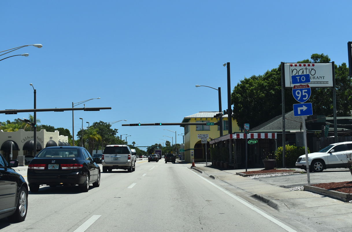
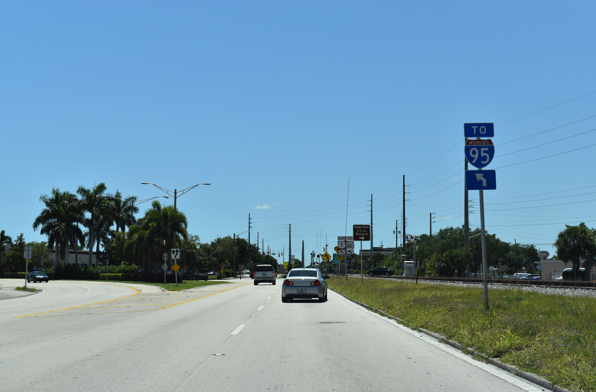
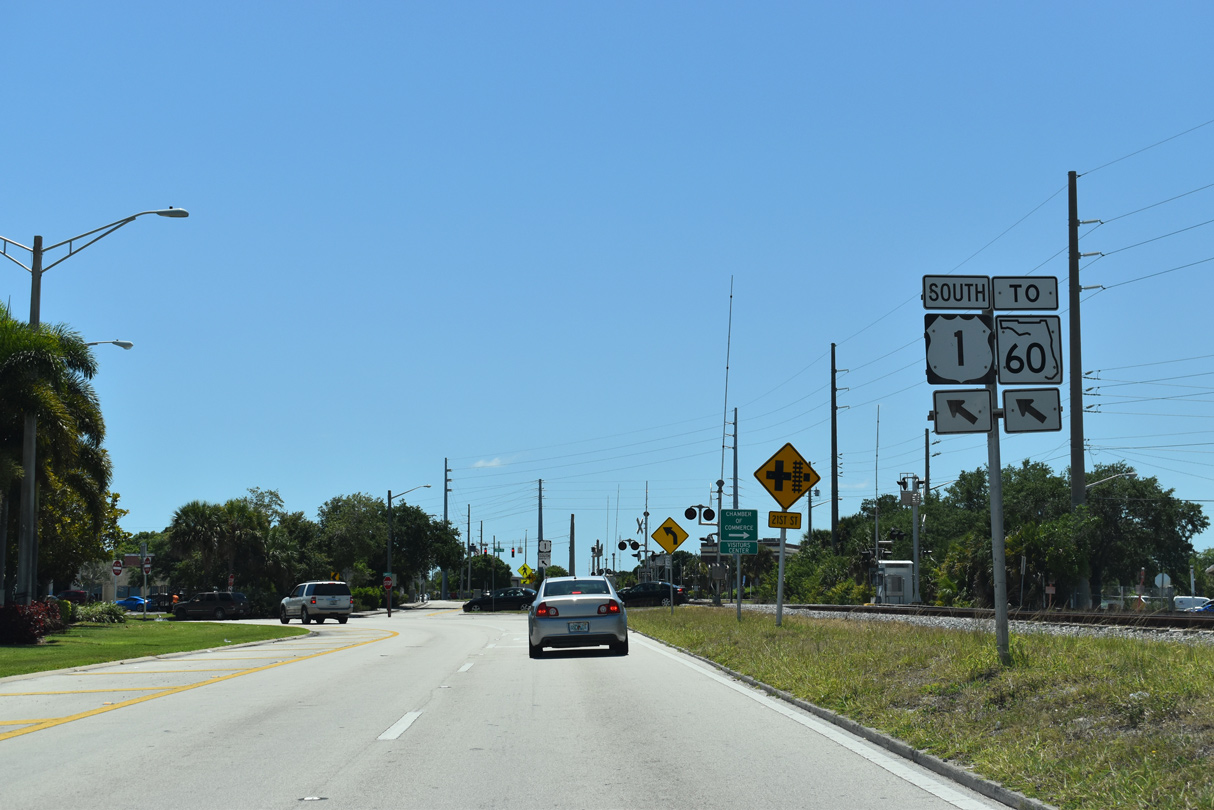
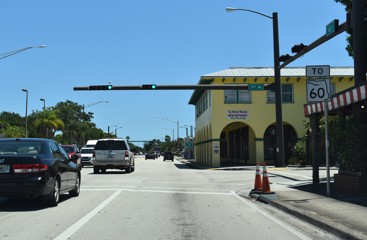
Motorists on southbound U.S. 1 (21st Street) headed for SR 60 (20th Place) west toward Interstate 95 are directed one block south along 11th Avenue to make the connection.
04/24/19
Reassurance marker for U.S. 1 posted after 11th Avenue in Downtown Vero Beach.
04/24/19

21st Street east at 10th Avenue in Downtown Vero Beach.
04/24/19

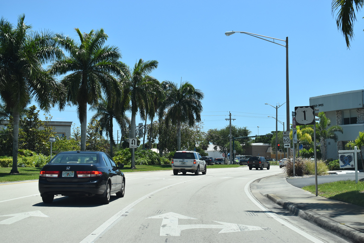
Curving south onto 8th Avenue, U.S. 1 separates with a landscaped median leading into the intersection with SR 60 westbound along 20th Place.
04/24/19
Through Downtown Vero Beach, State Road 60 partitions along a one way couplet using 20th Place / Street westbound and 19th Place / 20th Street eastbound.
04/24/19
Eastbound SR 60 dog legs north from 20th Street along Indian River Boulevard to the Merrill P. Barber Bridge. The state road concludes at Beachland Boulevard and SR A1A near Sexton Plaza Beach on the Atlantic Ocean.
04/24/19
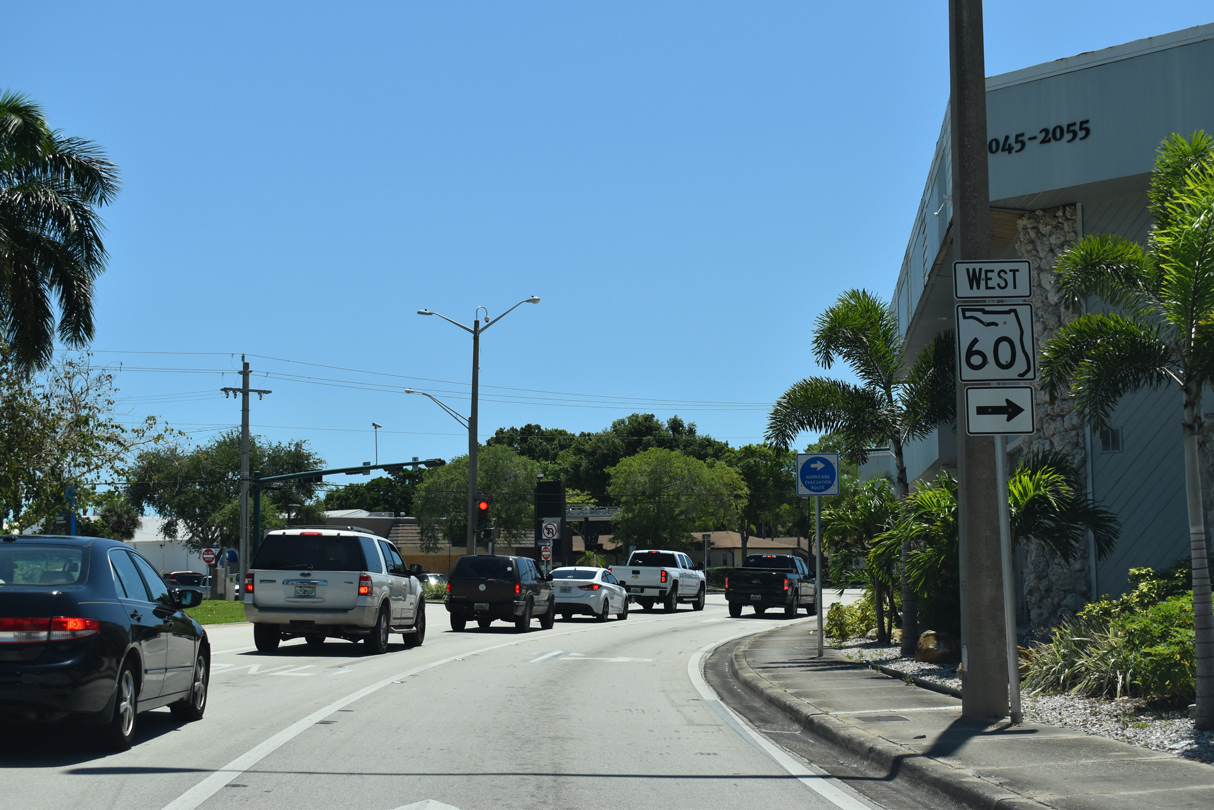
8th Avenue takes U.S. 1 south from Downtown Vero Beach toward SR 656 (17th Street).
04/24/19
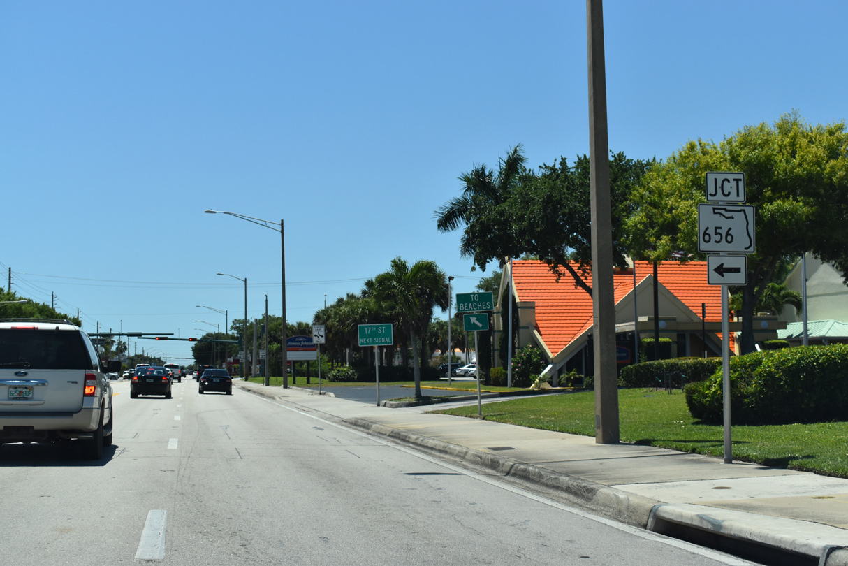
State Road 656 provides a second bridge across the Intracoastal Waterway from central Vero Beach to coastal areas of the city along North Hutchinson Island.
04/24/19
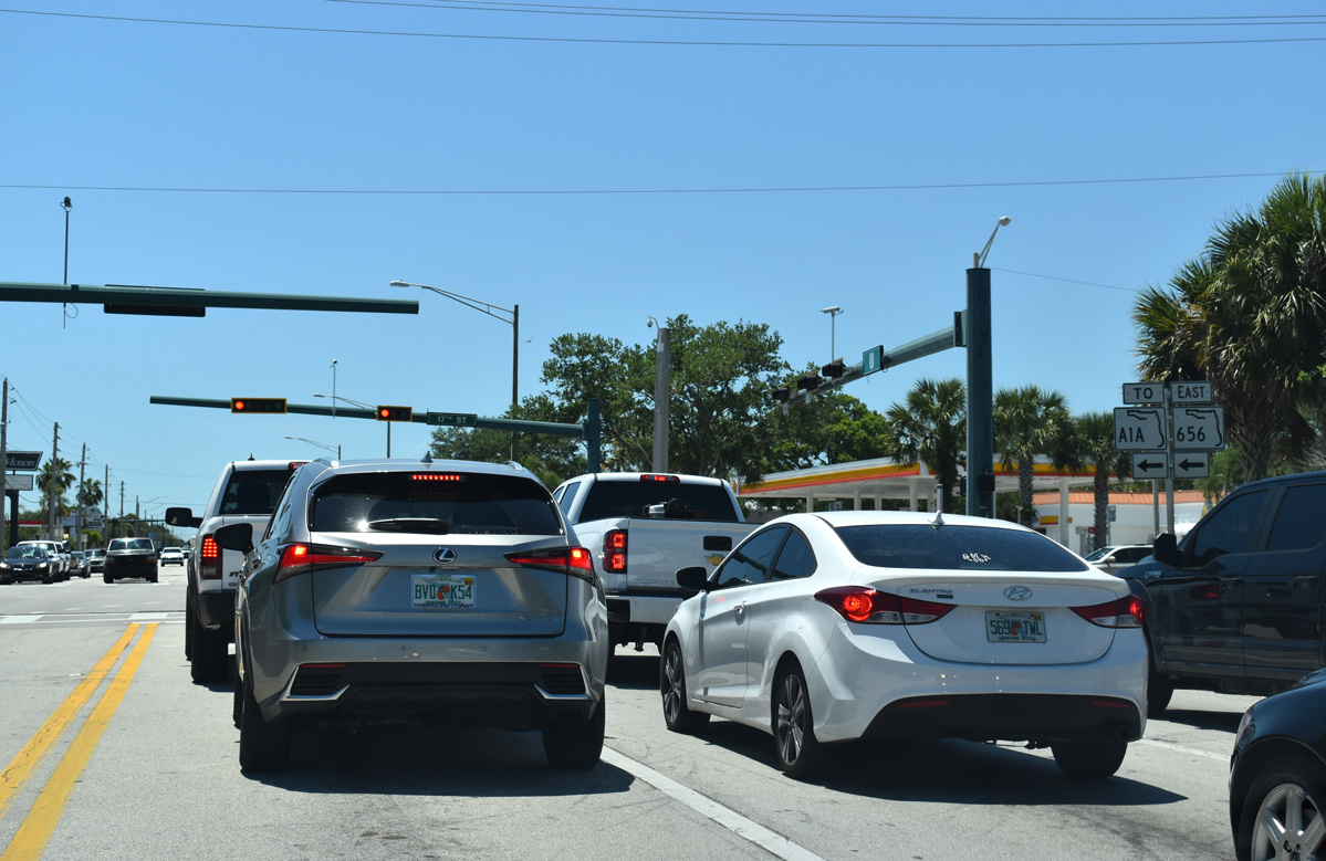
SR 656 constitutes an arterial route along 17th Street east to Indian River Boulevard and the Alma Lee Loy Bridge. The 1.98 mile long route ends at SR A1A along Causeway Boulevard.
04/24/19
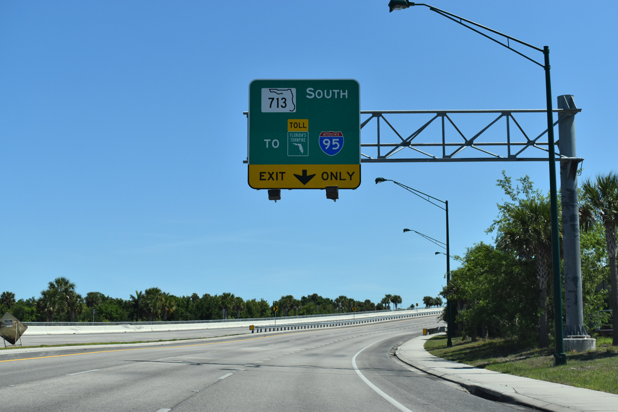
U.S. 1 navigates through an S-curve south across Old Dixie Highway (CR 605) and the FEC Railway to the split with SR 713 (Turnpike Feeder Road).
04/24/19

U.S. 1 enters St. Lucie County at the off-ramp for SR 713 south. The ensuing stretch of U.S. 1 south to the Town of St. Lucie Village is a rural highway with four lanes.
04/24/19


Photo Credits:
- Alex Nitzman: 05/16/08, 04/24/19
- ABRoads: 04/24/19
Connect with:
Page Updated Monday October 21, 2019.