
U.S. 2
U.S. 2 stretches 305.14 miles across the width of the Upper Peninsula of Michigan, joining Ironwood at the Wisconsin border with Iron River, Iron Mountain, and Escanaba with St. Ignace near Mackinac Island.
U.S. 2 Michigan Guides
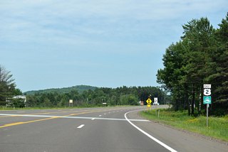
East - Ironwood to Marenisco - 51 photos
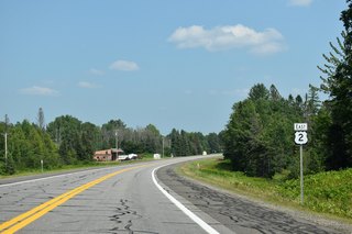
East - Marenisco to Watersmeet - 25 photos
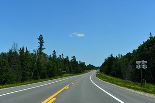
U.S. 2/41 East - Power to Rapid River - 62 photos
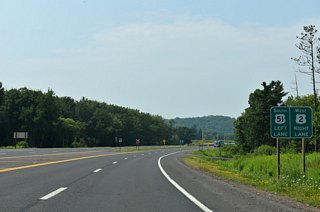
West - 5 photos
Separated into two separate sections, the 109.14 mile west segment of U.S. 2 enters the Wolverine State at Ironwood across the Wisconsin border near Hurley. Angling southeast at Wakefield, U.S. 2 travels through rural forests to Marenisco, Watersmeet, and Iron River. At Crystal Falls, U.S. 2 joins U.S. 141 with both U.S. highways turning south for Florence, Wisconsin.
U.S. 2 / 141 enter Michigan a second time at the Menominee River northwest of Iron Mountain. While U.S. 141 leaves at Quinnesec for a return to Wisconsin, U.S. 2 continues southeast to Norway and Powers. U.S. 41 meets U.S. 2 at Powers, with the U.S. highways advancing east to Escanaba then turning north for Gladstone. U.S. 2 turns east again at Rapid Rivers as U.S. 41 departs north for Marquette. Primarily following the northern shores of Lake Michigan from Manistique eastward, U.S. 2 concludes its 196 mile east segment at I-75 north of the Mackinac Bridge in St. Ignace.
Connect with:

Page Updated Friday March 06, 2026.