
U.S. 6/95 East - Coaldale to Tonopah

 East
East  South
South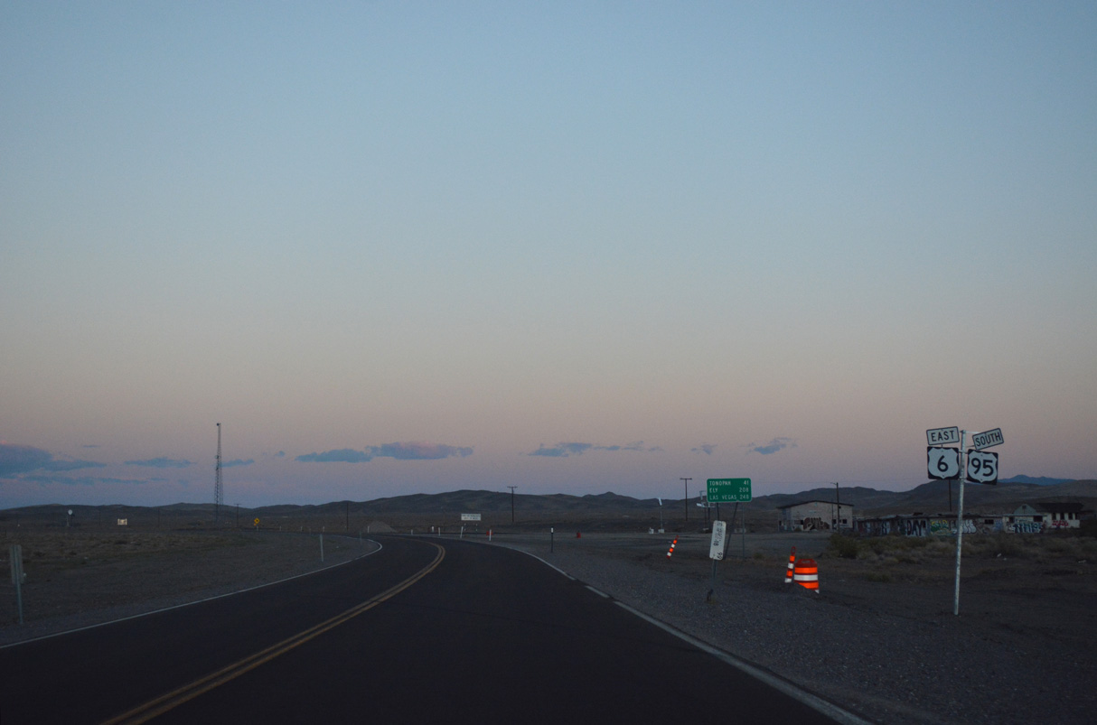
U.S. 6/95 overlap 40.6 miles east from Coaldale Junction to Tonopah.
07/17/17

Ely is 208 miles to the east along U.S. 6. Downtown Las Vegas is 251 miles to the southeast via U.S. 95 and Interstate 11.
07/17/17

A safety measure along rural two lane highways such as U.S. 6/95 in Nevada is the requirement of headlight use during all hours of the day.
11/11/08

The speed limit along U.S. 6 east and U.S. 95 south remains 70 miles per hour.
11/11/08

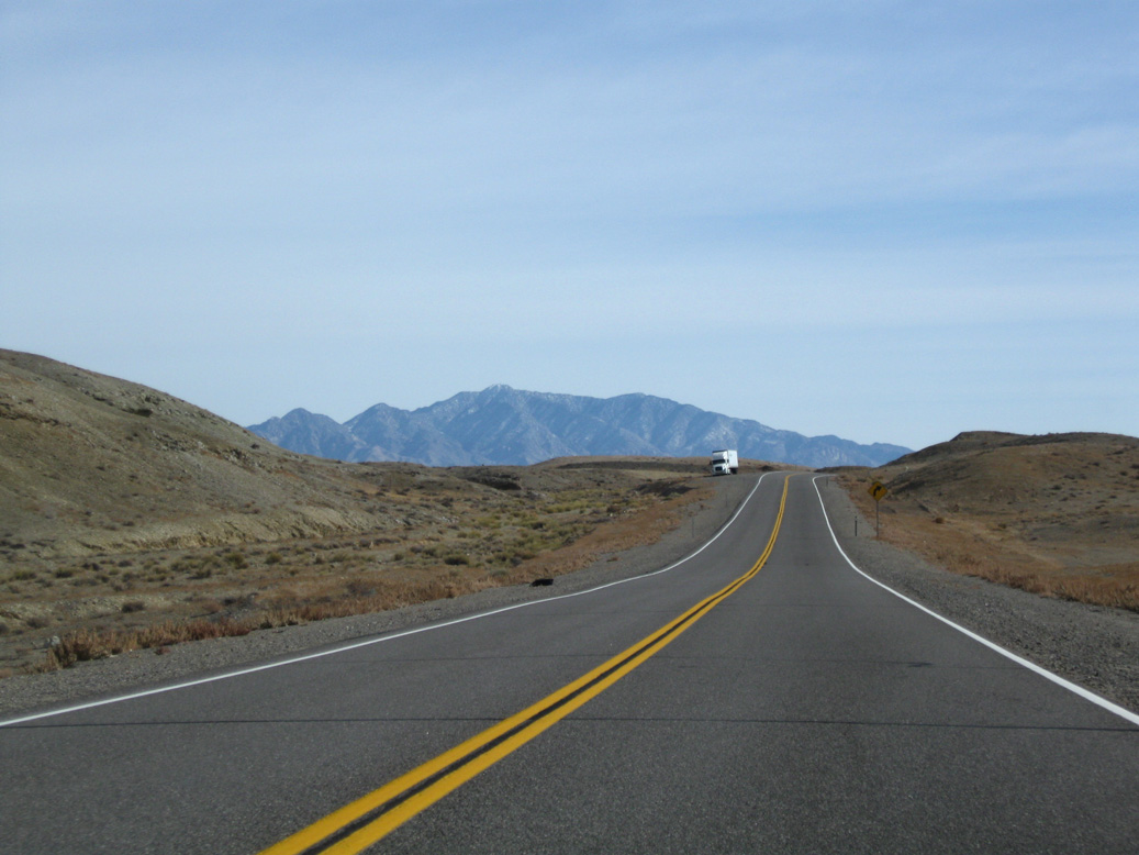
U.S 6/95 (Grand Army of the Republic Highway) gain 280 feet in elevation east across the hills between Silver Peak Range and Monte Cristo Range.
11/11/08
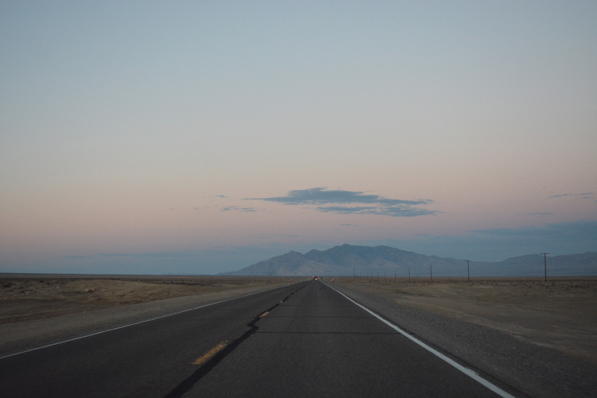
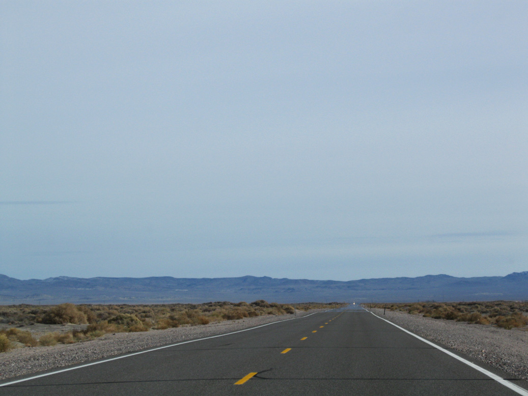
A long straight away leads U.S. 6/95 east across Big Smoky Valley to Blair Junction. Lone Mountain (elevation 9,108 feet above sea level) appears along the eastern horizon.
07/17/17

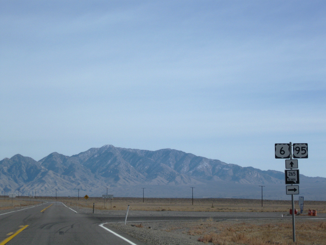
SR 265 (Silver Peak Road) spurs south from U.S. 6/95 at Blair Junction to the unincorporated community of Silver Peak.
07/17/17

SR 265 (Silver Peak Road) runs 20.47 miles south into Silver Peak just beyond Rocky Avenue.
11/11/08
Located east of Vanderbilt Peak in the Mineral Ridge, Silver Peak is a community with a history steeped in silver and gold mining in the 19th century and today is adjacent to a lithium extraction facility in nearby Clayton Valley.
11/11/08

33 miles separate Blair Junction from Tonopah along U.S. 6/95 east.
11/11/08

U.S. 6/95 (Veterans Memorial Highway) continue northeast from Blair Junction before turning more northward across Big Smoky Valley ahead of Black Rock.
11/11/08

Reassurance markers for U.S. 6/95 precede Esmeralda County milepost 32 and a passing zone.
07/17/17

U.S. 6/95 pass by Black Rock east of Esmeralda County milepost 34.
11/11/08
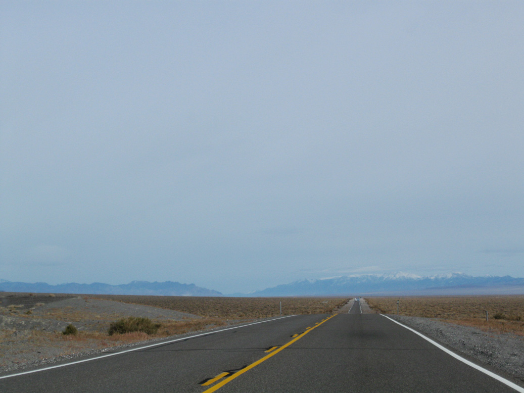
U.S. 6/95 parallel the Monte Cristo Range northeast to Esmeralda County milepost 38.
11/11/08

Distance sign posted 21 miles ahead of Tonopah.
11/11/08

Lone Mountain to the south.
11/11/08

Arc Dome (elevation 11,361 feet above sea level) appears beyond the far north end of Big Smoky Valley where U.S. 6/95 turn eastward toward Millers.
11/11/08

The San Antonio Mountains line the east side of Big Smoky Valley north from Tonopah.
11/11/08

The Millers Rest Area along U.S. 6/95 is east of Esmeralda County milepost 45.
11/11/08

Located north of the abandoned railroad siding of Millers, the Millers Rest Area has full facilities: flush toilets, running water, picnic tables, litter barrels, and RV dump station.
11/11/08

Looking south from U.S. 6/95 at Lone Mountain from Millers Rest Area.
11/11/08

U.S. 6/95 (Veterans Memorial Highway) gain nearly 1,200 feet in elevation from Millers Rest Area to Tonopah.
11/11/08

Pole Line Road is an unpaved road traveling 64.1 miles north from U.S. 6/95 to SR 361 near the unincorporated town of Gabbs.
11/11/08
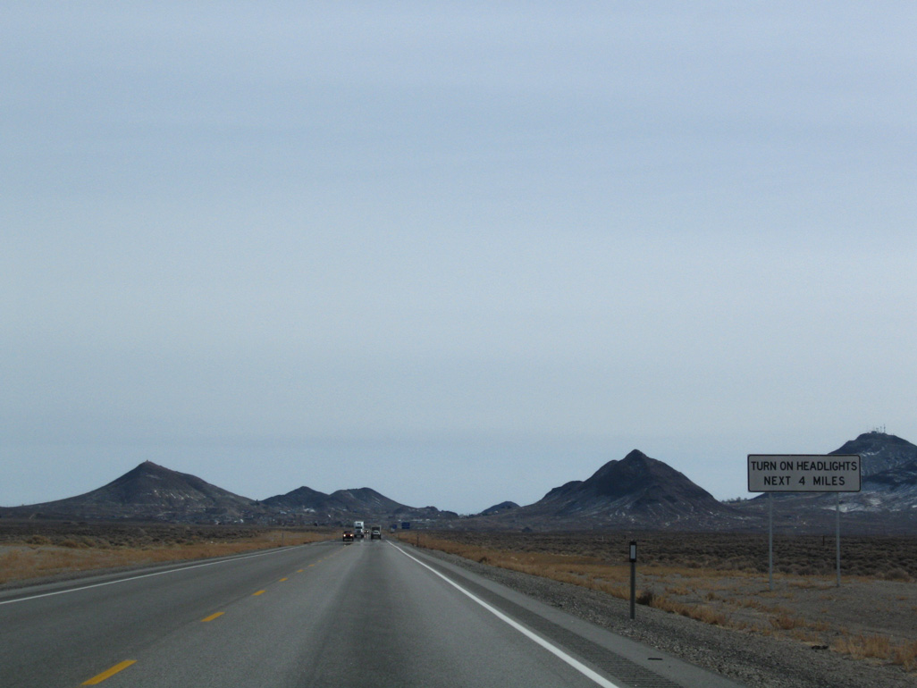
The town of Tonopah rests at the top of the grade beyond Pole Line Road between Mount Butler and Ararat Mountain.
11/11/08
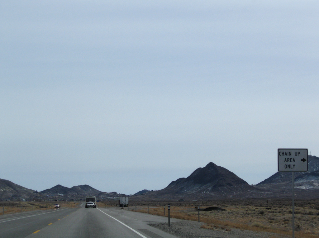
Tonopah is located above 6,000 feet above sea level. A chain-up area precedes Esmeralda County milepost 56.
11/11/08
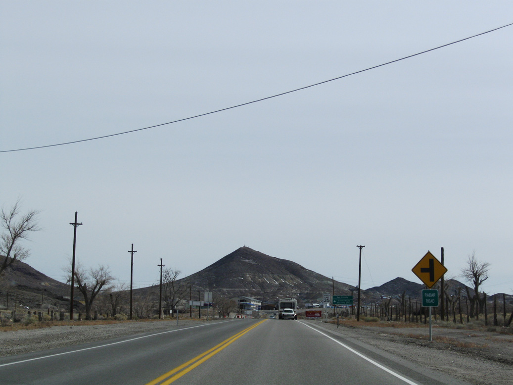
Radar Road links U.S. 6/95 with Smoky Valley Road on the west side of Tonopah.
11/11/08
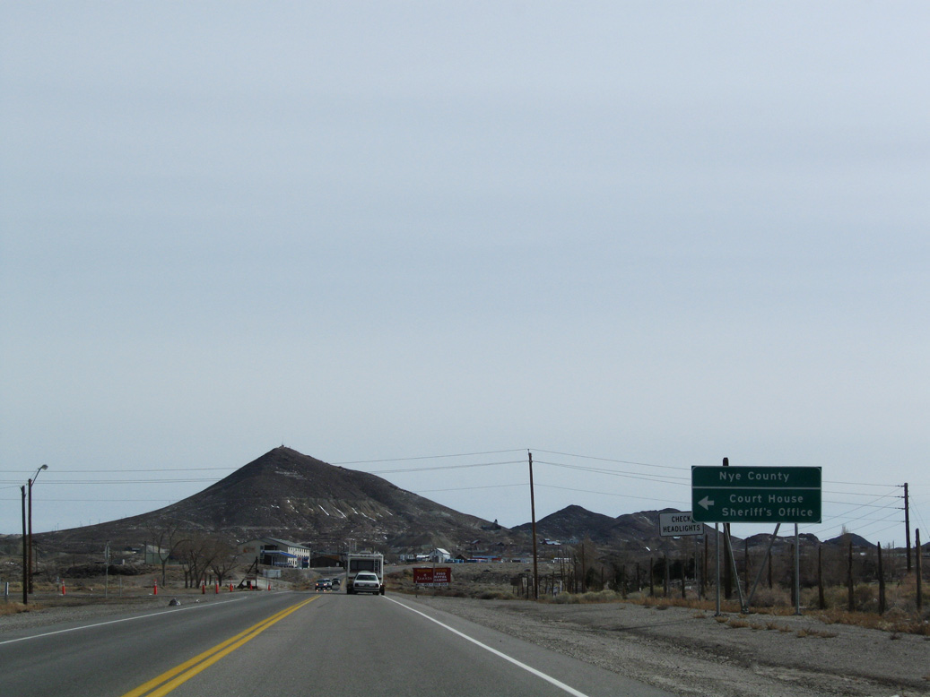
The Nye County Courthouse lies just north of the county line at Radar Road and Smoky Valley Road.
11/11/08

U.S. 6/95 proceed a short distance east from Radar Road into Nye County.
11/11/08

Entering the town of Tonopah, the Queen of the Silver Camps. Sitting at an elevation of 6,030 feet above sea level, Tonopah is unincorporated but was founded in 1900 and is the seat of Nye County. The population of Tonopah decreased from 2,627 people as of the 2000 Census to 2,179 as of the 2020 Census.
11/11/08

U.S. 6/95 advance east along Main Street to Downtown Tonopah. Depot Road ties into Main Street across from Cutting Street where U.S. 6/95 expand to four lanes.
11/11/08
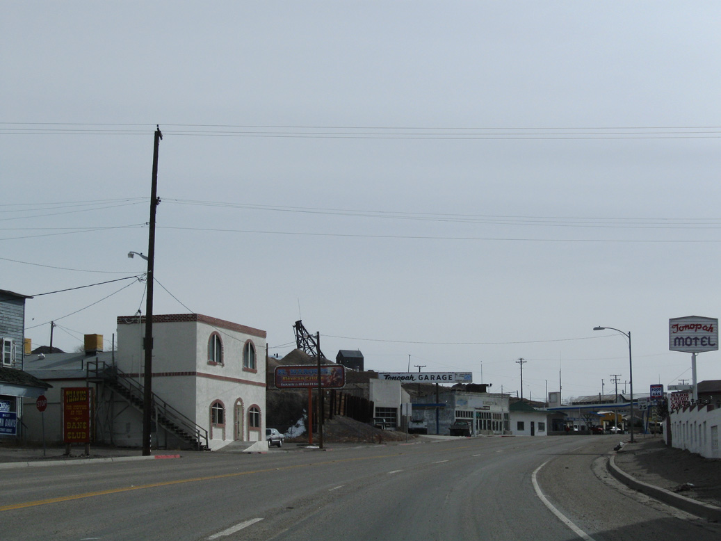
Main Street curves southward into the Tonopah street grid, which falls between Brougher Mountain and Mount Oddie.
11/11/08

Heading south into the Tonopah business district along Main Street at Oddie Avenue.
11/11/08

Main Street south at Brougher Avenue.
11/11/08

U.S. 6/95 (Main Street) east at Bryan Avenue in Tonopah.
11/11/08

Tonopah offers the first motorist services along U.S. 95 south since Hawthorne, 100 miles to the northwest.
11/11/08

U.S. 6 separates from U.S. 95 east toward Ely and Great Basin National Park in eastern Nevada. U.S. 95 turns south toward Goldfield, Beatty and Las Vegas.
11/11/08
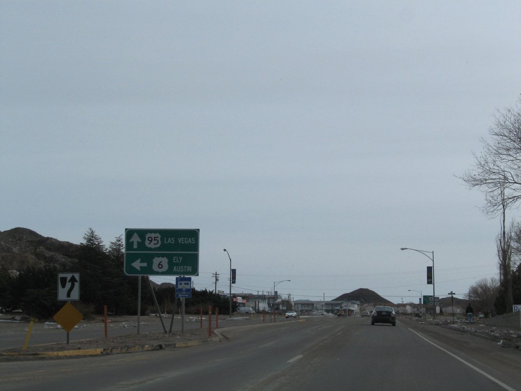
116 miles to the north, Austin is located on U.S. 50 and it can be reached from U.S. 6 via SR 376 northbound.
11/11/08

U.S. 6 continues to the Ralston Valley and Tonopah Airport (TPH) en route to SR 375 (Extraterrestrial Highway) at Warm Springs, 49.2 miles to the east. U.S. 95 south reaches the Esmeralda County seat of Goldfield in 26 miles.
11/11/08
East
Leading away from U.S. 95, U.S. 6 (Grand Army of the Republic Highway) arcs northeast between Golden Mountain and Rushton Hill.
11/11/08

Photo Credits:
- Brent Ivy: 11/11/08, 07/17/17
- AARoads: 11/11/08, 07/17/17
Connect with:



Page Updated Friday November 28, 2025.