
U.S. 95 South - Tonopah to Goldfield
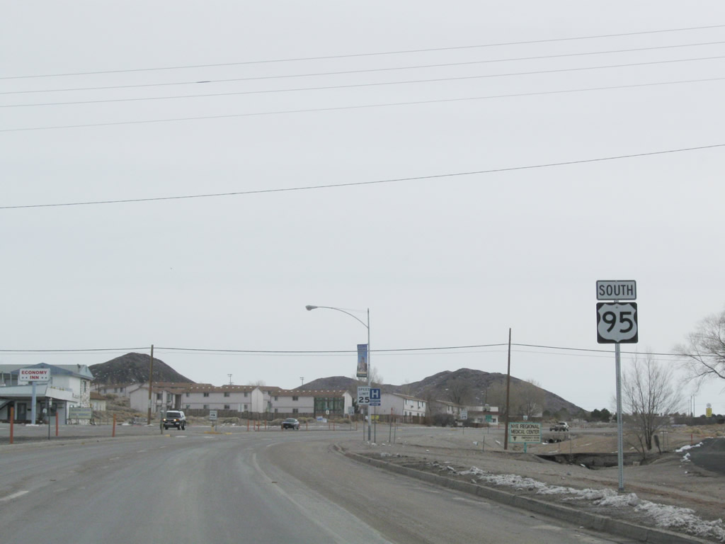
Beyond the separation with U.S. 6, U.S. 95 (Main Street) arcs southward by additional motels, restaurants and gas stations on the south side of Tonopah.
11/11/08
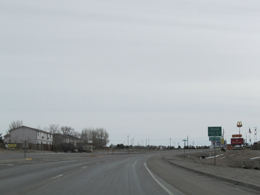
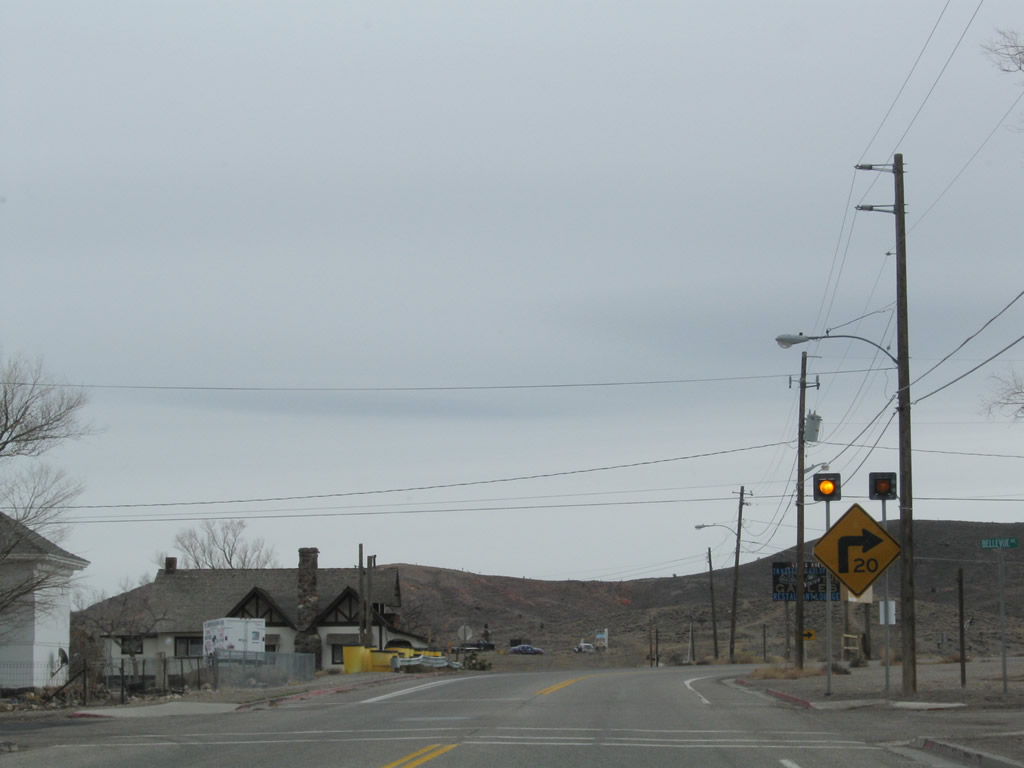
The next intersection along U.S. 95 south in Tonopah is with Logan Field Road west and Howerton Hill east.
11/11/08
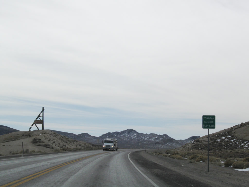
Passing east of Brock Mountain, U.S. 95 south reaches Tonopah Summit (elevation 6,256 feet above sea level).
11/11/08
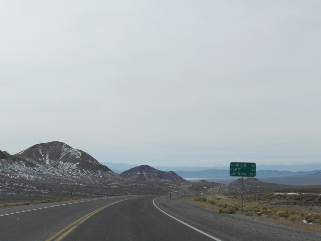
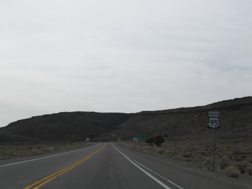
U.S. 95 leaves Nye County and reenters Esmeralda Count ahead of this distance sign posted 26 miles north of Goldfield.
11/11/08
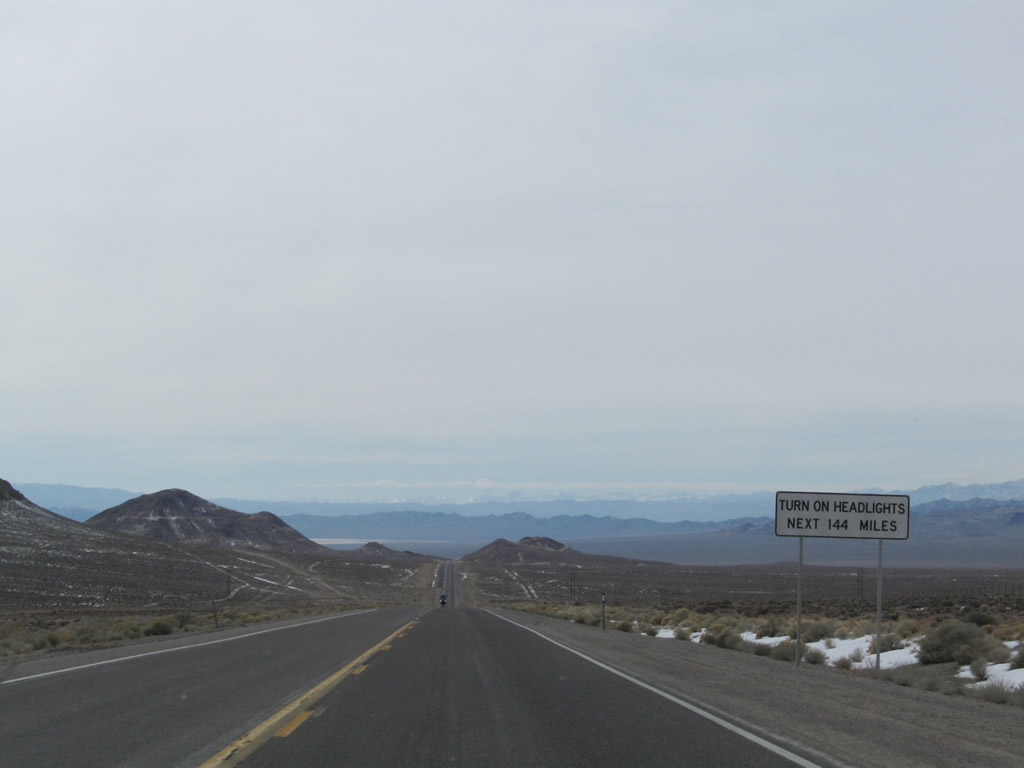
Leading south from Tonopah, the next 144 mile along U.S. 95 fall within a daytime headlights enforcement zone, which is a safety measure requiring all traffic to use headlights during all hours.
11/11/08
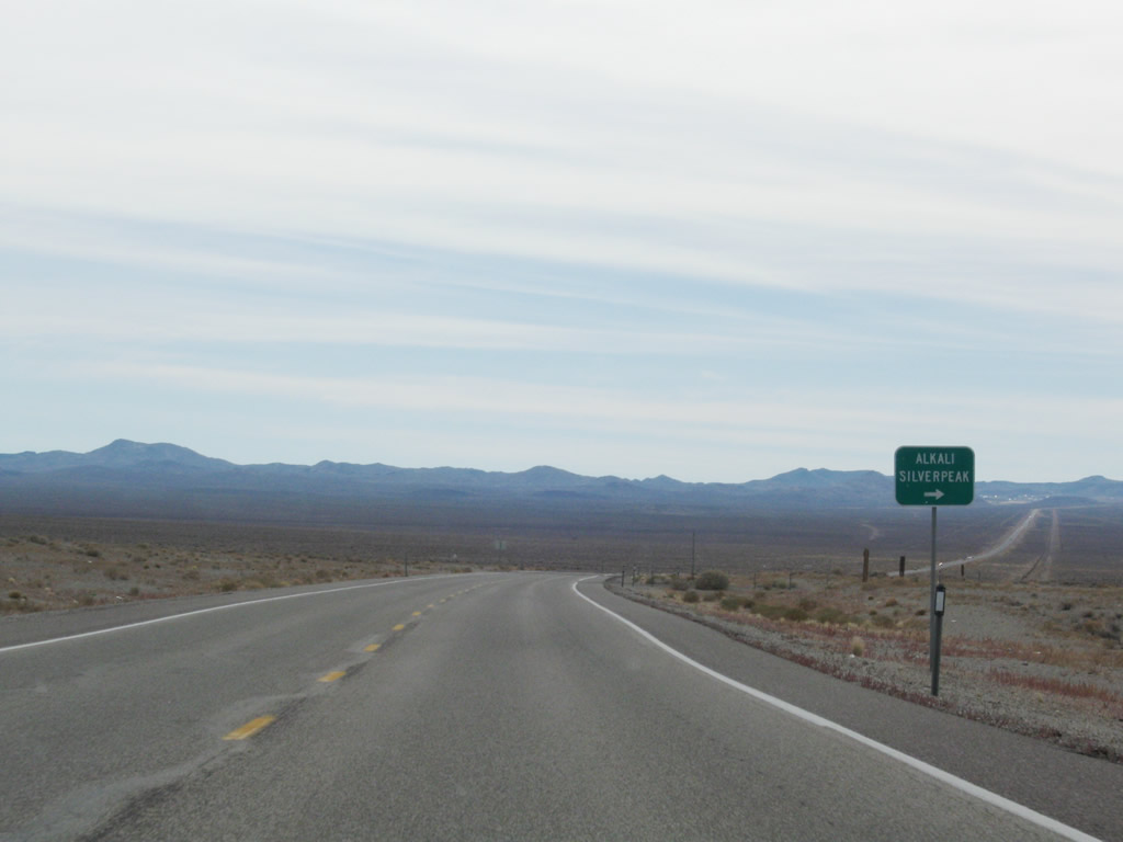
Silver Peak Road travels northwest to Alkali and then west between Clayton and Paymaster Ridges to the unincorporated community of Silver Peak.
11/11/08
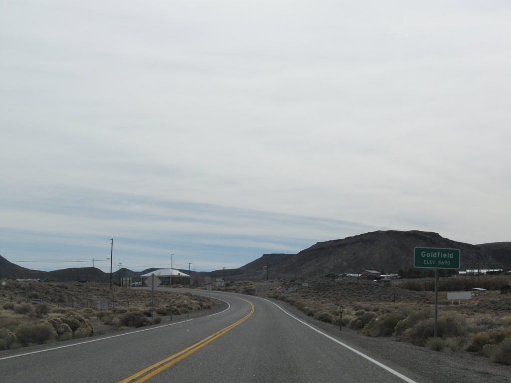
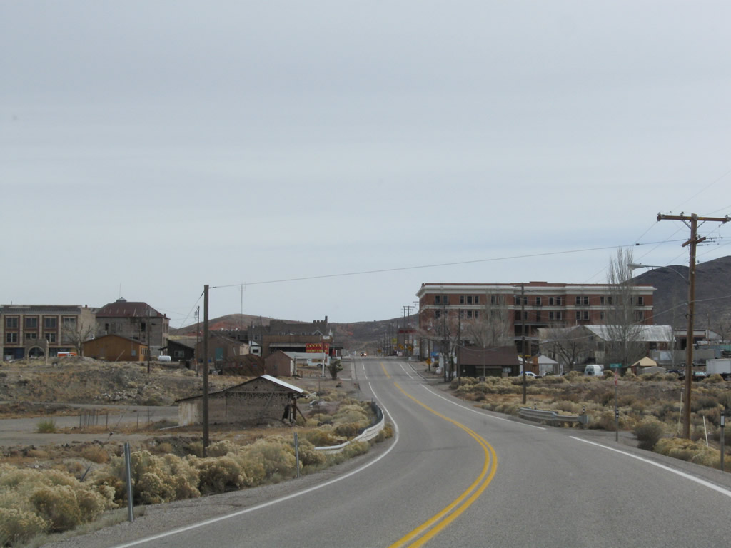
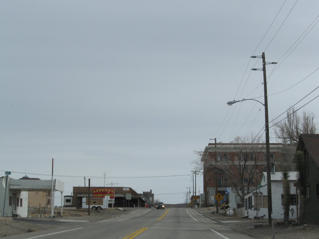
Southbound U.S. 95 enters the Esmeralda County seat of Goldfield (elevation 5,690 feet above sea level). A historic mining town, Goldfield was founded in 1902 and the population briefly surged to around 20,000 due to the discovery of gold. The unincorporated town gradually lost population from 1910 onward and was home to just 225 as of the 2020 Census.
11/11/08
U.S. 95 curves southeast onto Crook Avenue ahead of the Goldfield business district.
11/11/08
Crook Avenue ascends east to Main Street in Goldfield.
11/11/08
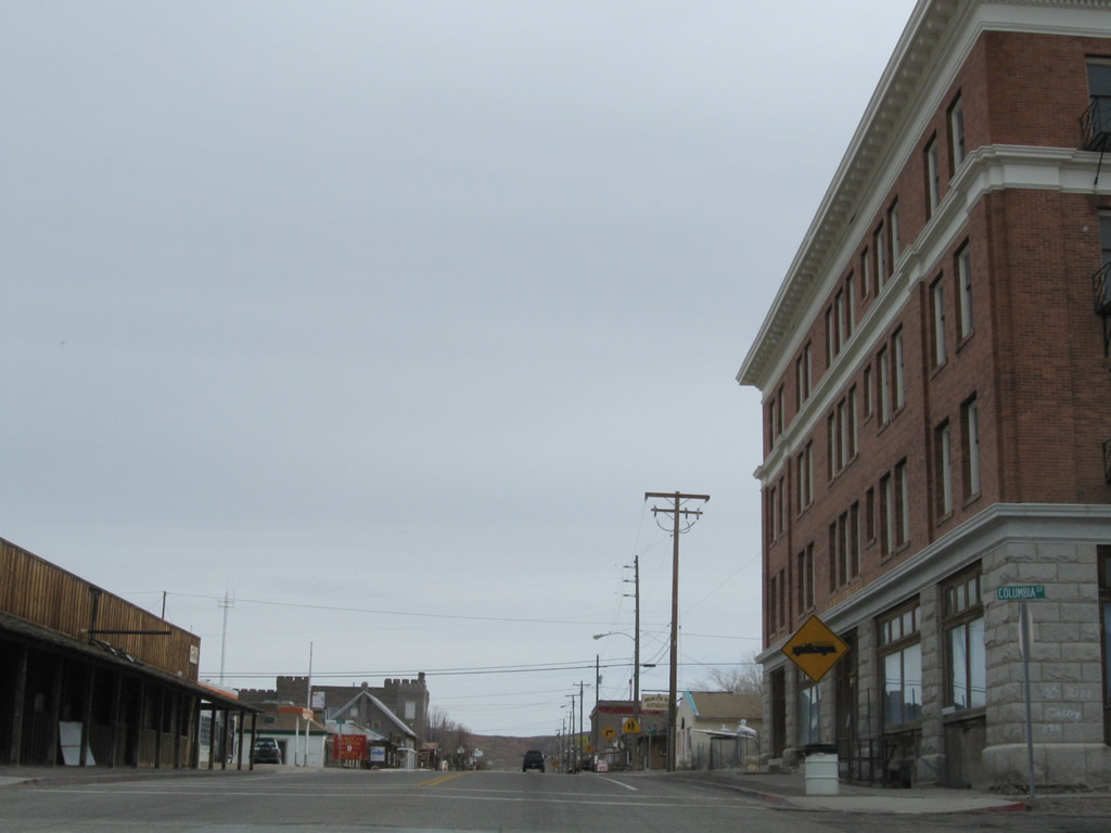
U.S. 95 (Crook Avenue) intersects Columbia Avenue by the historic Goldfield Hotel.
11/11/08
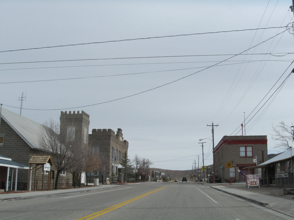
The Esmeralda County Courthouse is located at the corner of Crook Avenue and Euclid Avenue in Goldfield.
11/11/08
U.S. 95 makes a sharp curve south onto Sundog Avenue from Crook Avenue east in Goldfield.
11/11/08
U.S. 95 leaves Goldfield south of Lida Avenue and east of Spearhead Point on Malpais Mesa.
11/11/08
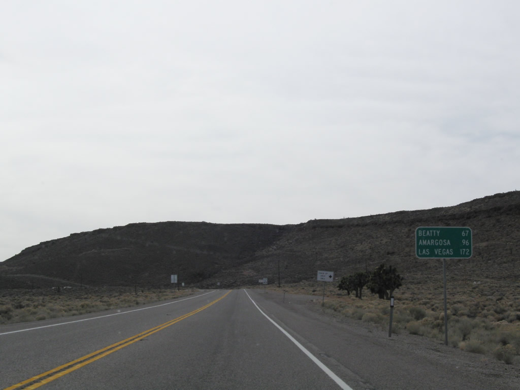
SR 374 (Main Street) in Beatty is 65.7 miles south of this distance sign posted outside Goldfield.
11/11/08
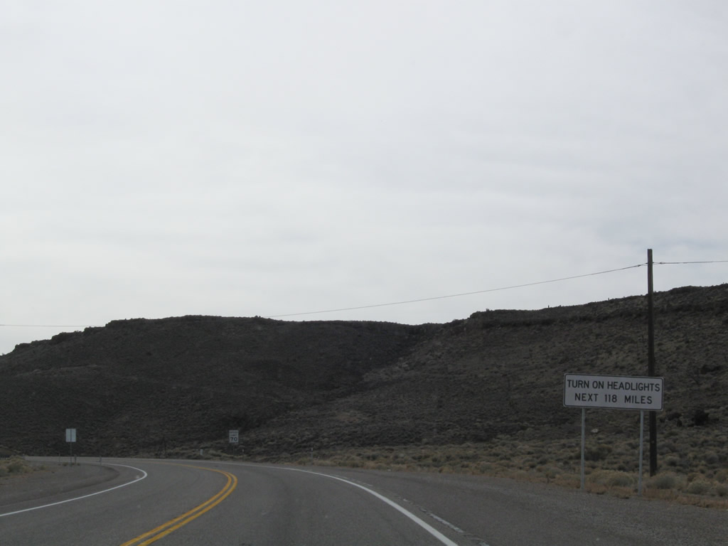
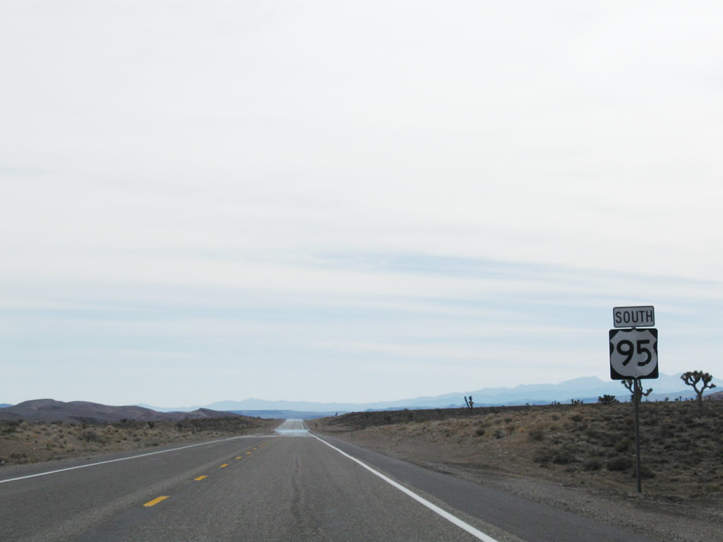
Headlight use is again required during all hours of the day along U.S. 95 south from Goldfield 118 miles to where the highway expands to four lanes near Mercury.
11/11/08
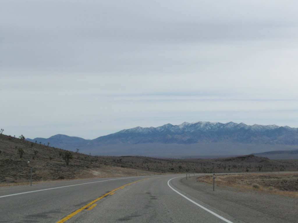
Curving southward from Goldfield Summit and Mira Mountain, the ensuing stretch of U.S. 95 straddles the east side of the Goldfield Hills.
11/11/08
U.S. 95 (Veterans Memorial Highway) east of the Cuprite Hills.
11/11/08
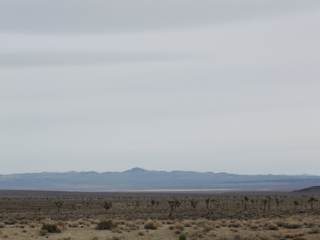
Joshua trees in the Lida Valley. Slate Ridge lines the southern horizon.
11/11/08
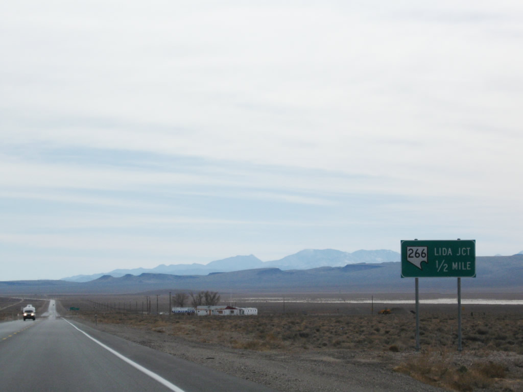
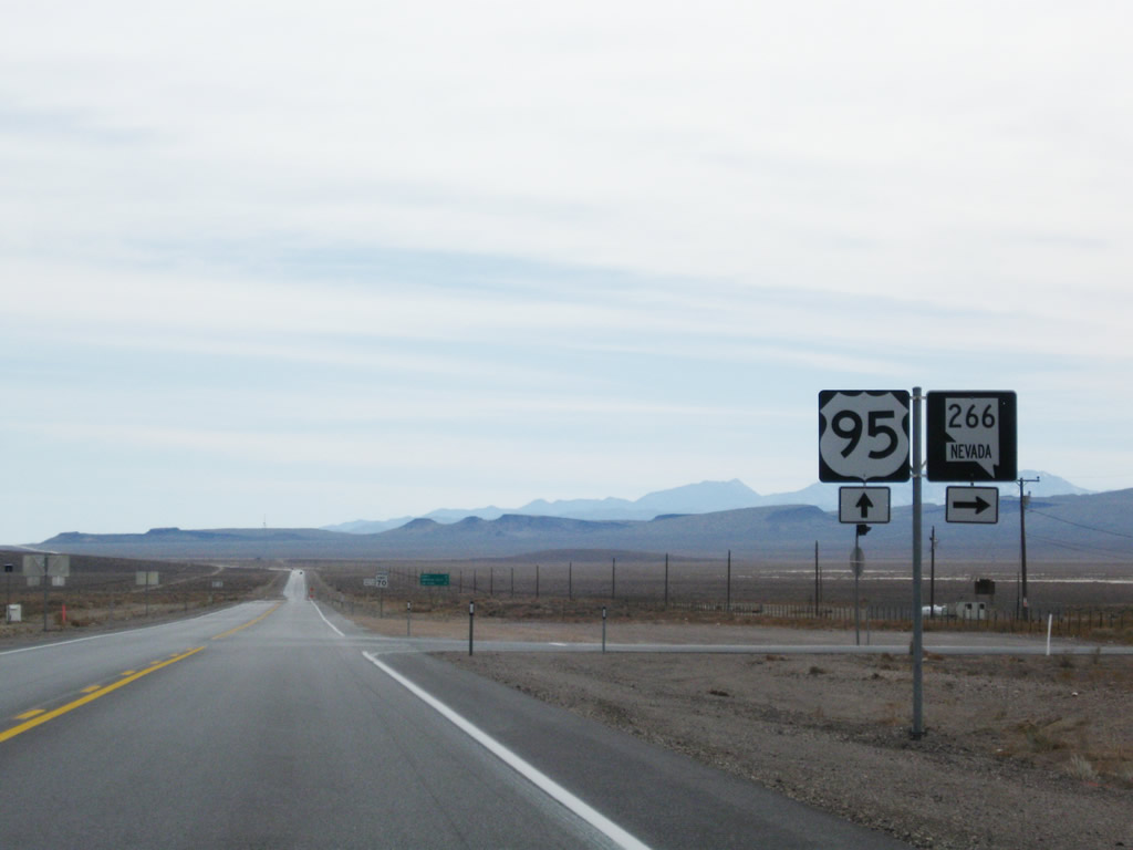
U.S. 95 meets SR 266 (Lida Road) west at Lida Junction.
11/11/08
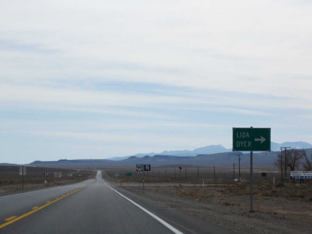
Forming a multi state highway with California State Route 266 to Oasis, SR 266 (Lida Road) travels west across the Lido Valley to Lida and the Palmetto Mountains. North from Oasis, SR 266 becomes Nevada State Route 264 ahead of Dyer.
11/11/08
SR 266 (Lida Road) heads 40.31 miles west from Lida Junction to the California state line.
11/11/08
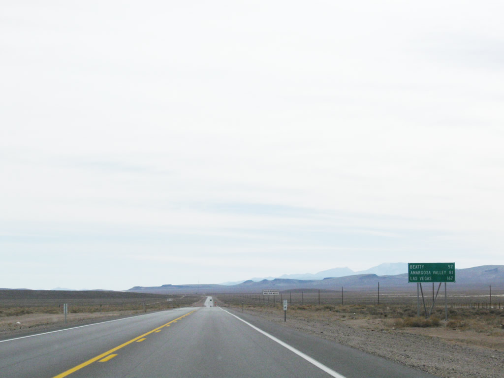
SR 373 at Amargosa Valley is 81 miles to the south of Lida Junction.
11/11/08
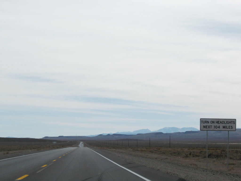
The daytime headlights safety zone continues along U.S. 95 south for another 104 miles.
11/11/08

Photo Credits:
- AARoads: 11/11/08
Connect with:
Page Updated Monday February 15, 2010.