
U.S. 6 East - Grand Junction, Silt, Eagle
 East
East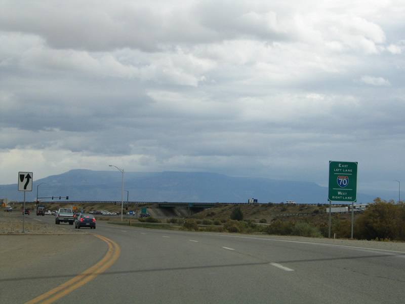
U.S. 6 curves east from 22 Road to meet Interstate 70, U.S. 50 and the beginning of the Grand Junction business loop. This stretch was reconstructed through November 2013 as part of the project to rebuild the exchange into Colorado's first diverging diamond interchange (DDI).
10/18/04
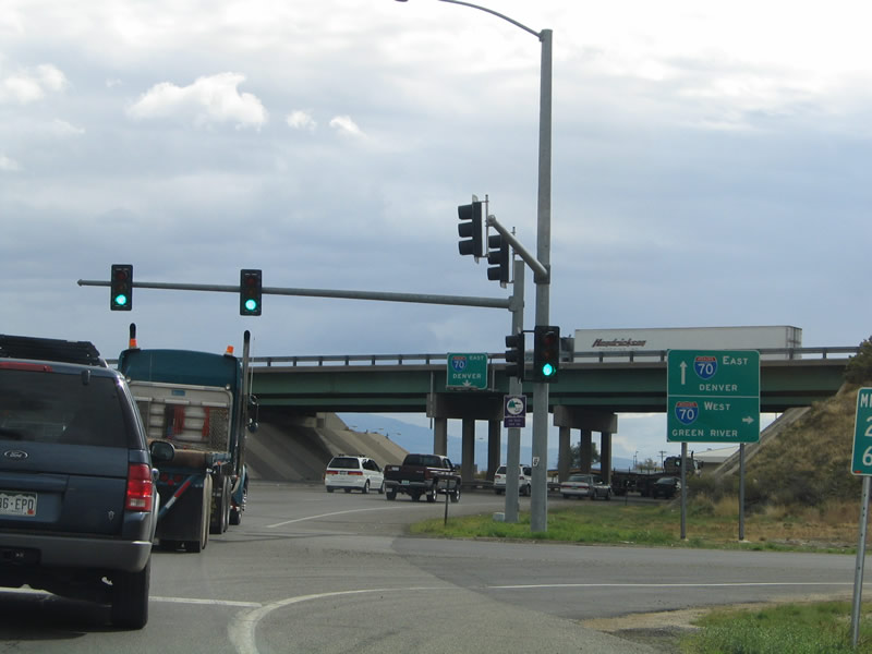
The westbound entrance ramp to I-70/U.S. 50 leads back to Fruita, Loma and Green River, Utah. Traffic along U.S. 6 now switches to the left as part of the DDI.
10/18/04
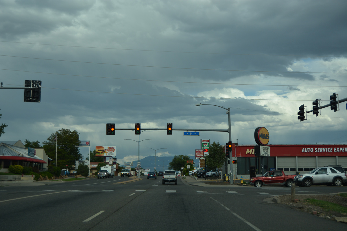
U.S. 6 (North Avenue) intersects 1st Street to the east of the split with Business Loop I-70/U.S. 50. 1st Street lines a commercial strip south toward Downtown.
08/10/16
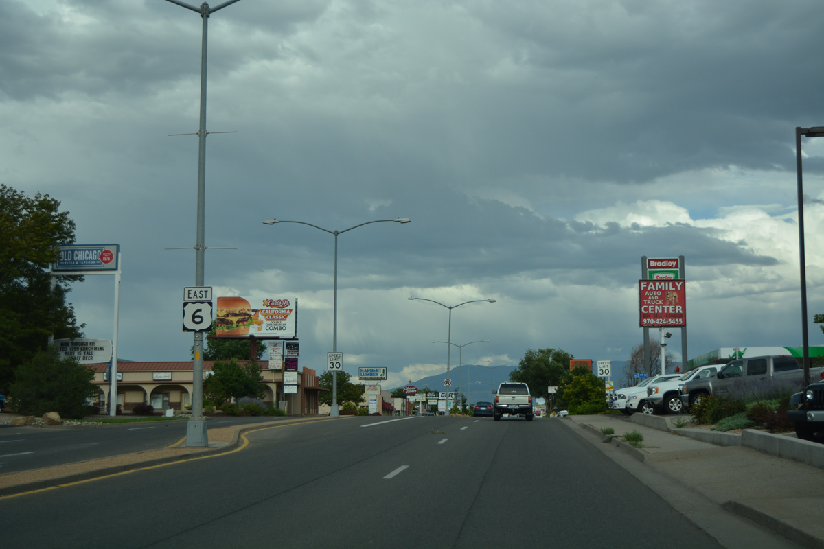
Reassurance marker for U.S. 6 east posted after 1st Street on North Avenue.
08/10/16
5th Street leads north to Grand Junction High School and south to Hawthorne Park and the Grand Junction central business district.
08/10/16
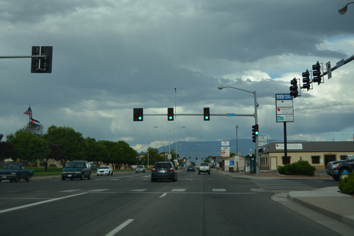
The succeeding traffic light on U.S. 6 (North Avenue) east at 7th Street.
08/10/16
U.S. 6 continues east to the campus of Colorado Mesa University (CMU) and the intersection with 10th Street.
08/10/16
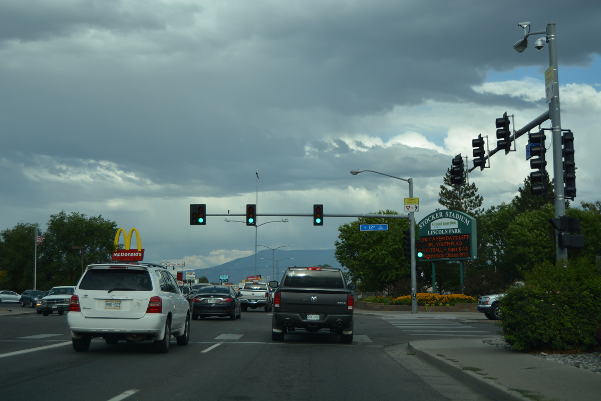
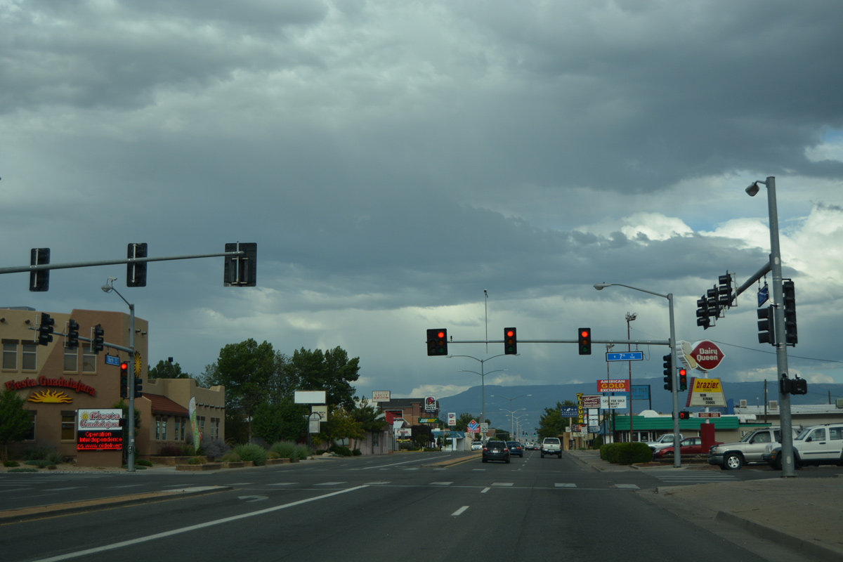
Lincoln Park spreads to the southeast along both North Avenue and 12th Street. The city park is home to both Ralph Stocker Stadium (home of CMU Mavericks football) and Suplizo Field (home of the Grand Junction Rockies minor league baseball team).
08/10/16
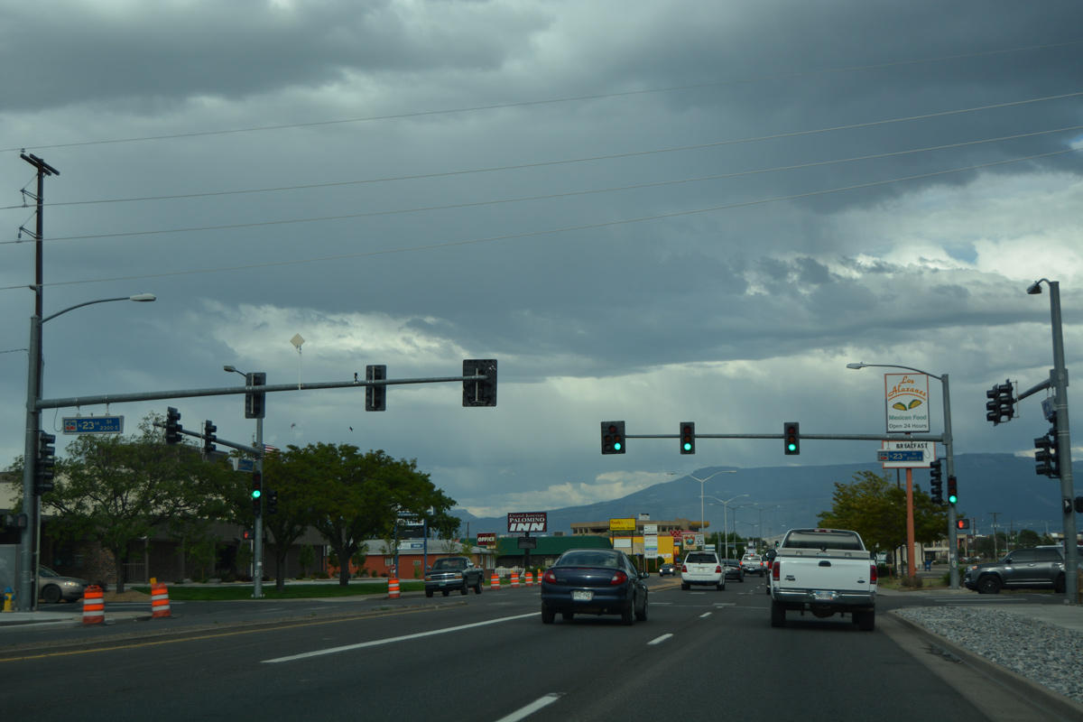
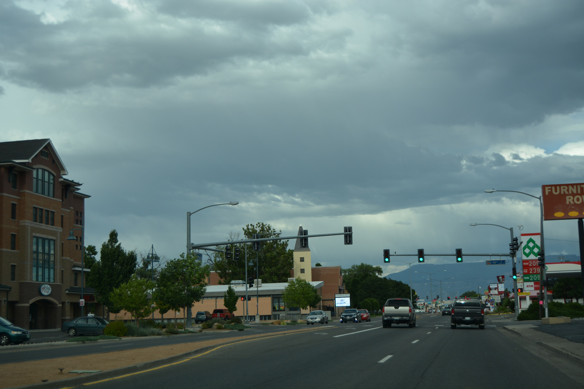
U.S. 6 (North Avenue) passes by the VA Medical Center ahead of 23rd Street and Teller Arms Shopping Center.
08/10/16
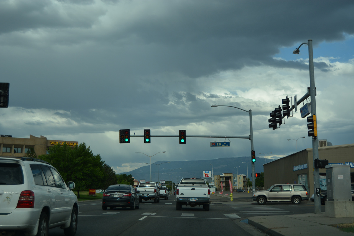
The Grand Junction numbered street grid ends and the Mesa County system takes over as U.S. 6 (North Avenue) east meets 28 Road.
08/10/16
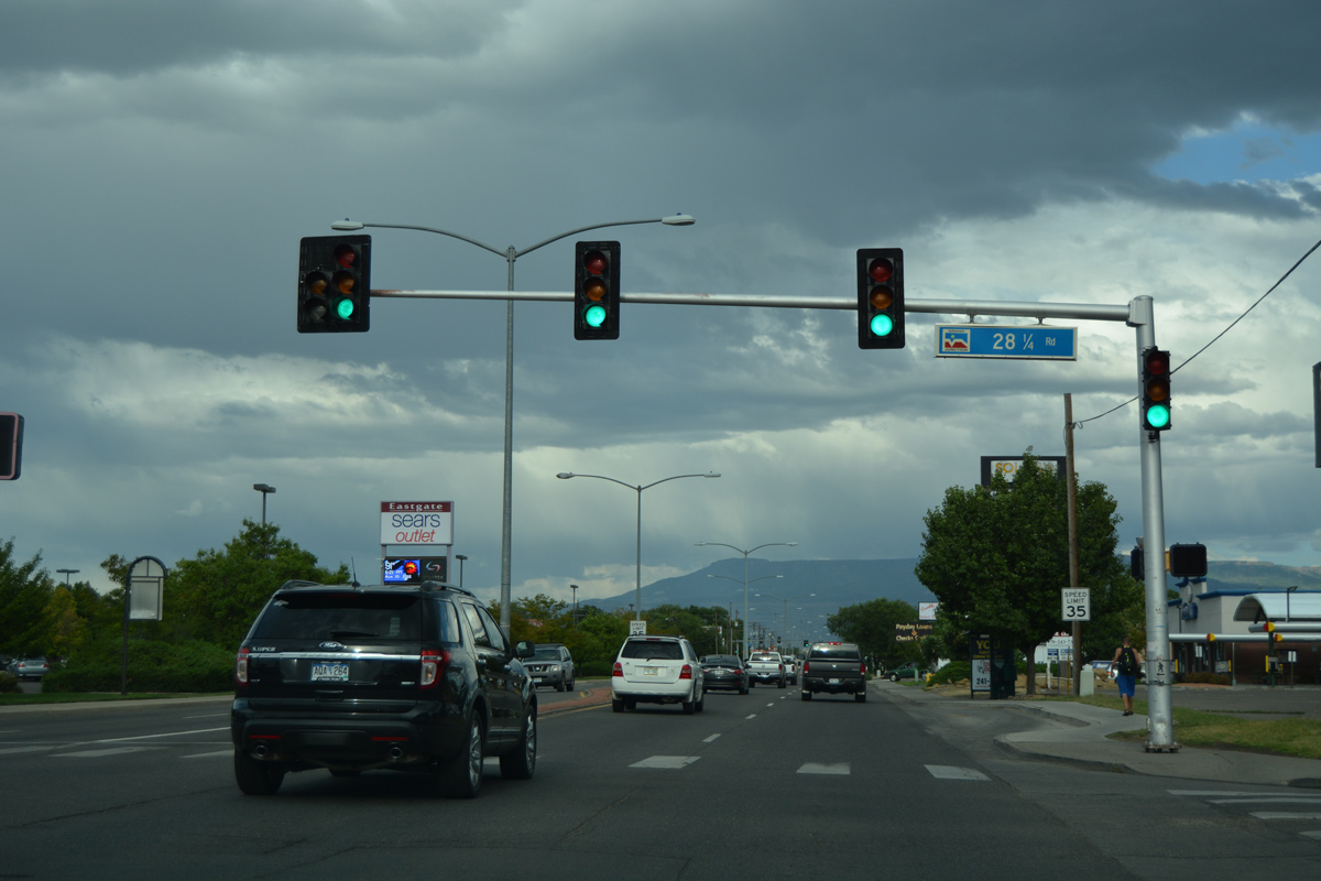
A quarter mile further east, U.S. 6 intersects 28 1/4 Road by Eastgate shopping center.
08/10/16
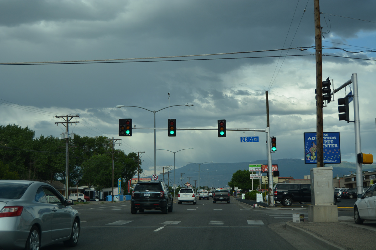
28 1/2 Road heads south to an industrial area along Business Loop I-70 and north to residential areas to Grand Valley Canal.
08/10/16

28 3/4 Road stems north from a Wal-mart parking lot and U.S. 6 (North Avenue) to Orchard Avenue.
08/10/16
Construction completed in 2011 extended 29 Road south over Business Loop I-70 and the Union Pacific Railroad, creating a new through route from Grand Junction to U.S. 50 at Orchard Mesa. An interchange is proposed at the north end of 29 Road with I-70 as well.
08/10/16
The second reassurance marker for U.S. 6 east posted along North Avenue follows 29 Road.
08/10/16
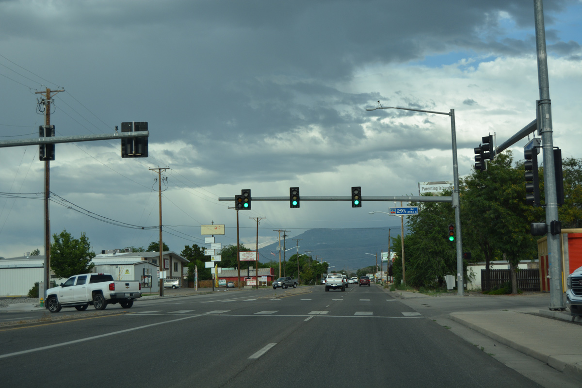
29 1/2 Road heads north from U.S. 6 (North Avenue) to G Road by the Government Highline Canal.
08/10/16
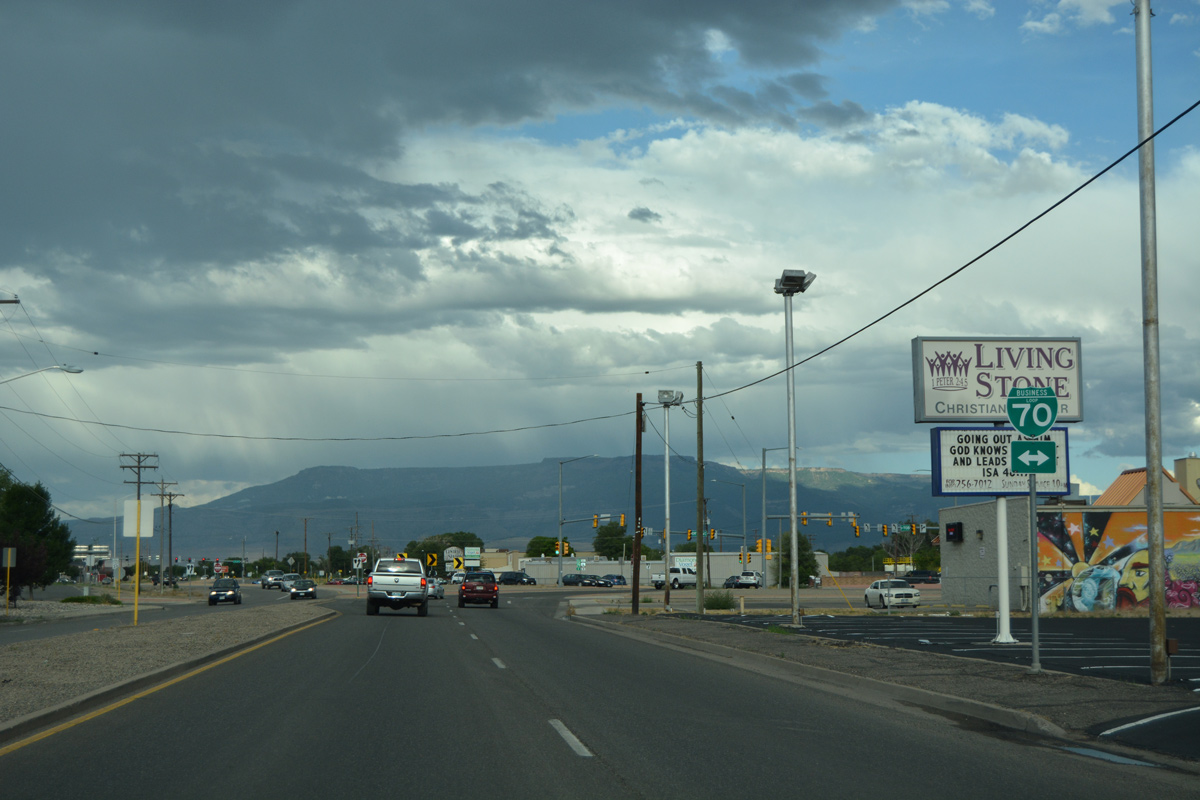
Segment B of U.S. 6 in Colorado ends with North Avenue at Business Loop I-70.
08/10/16
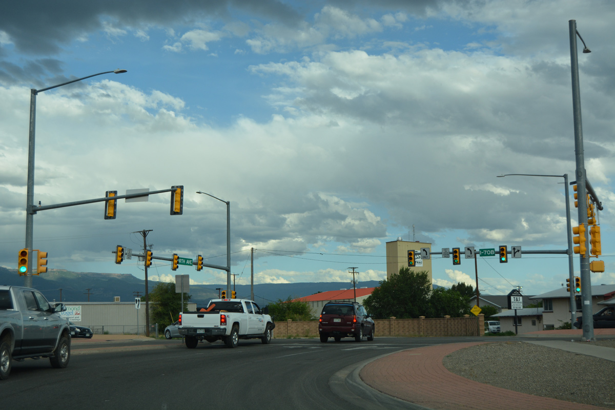
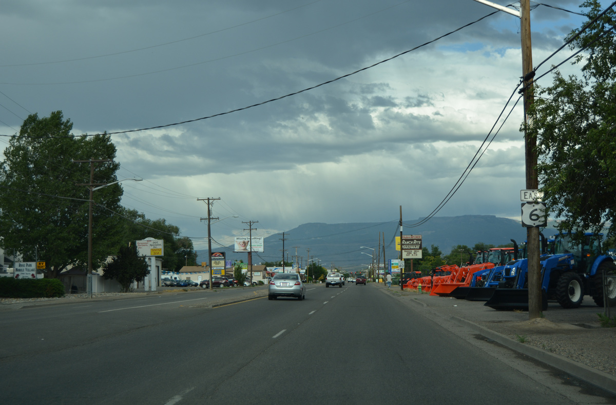
Although unmarked here, U.S. 6 continues east with Business Loop I-70 between Fruitvale and Clifton.
08/10/16
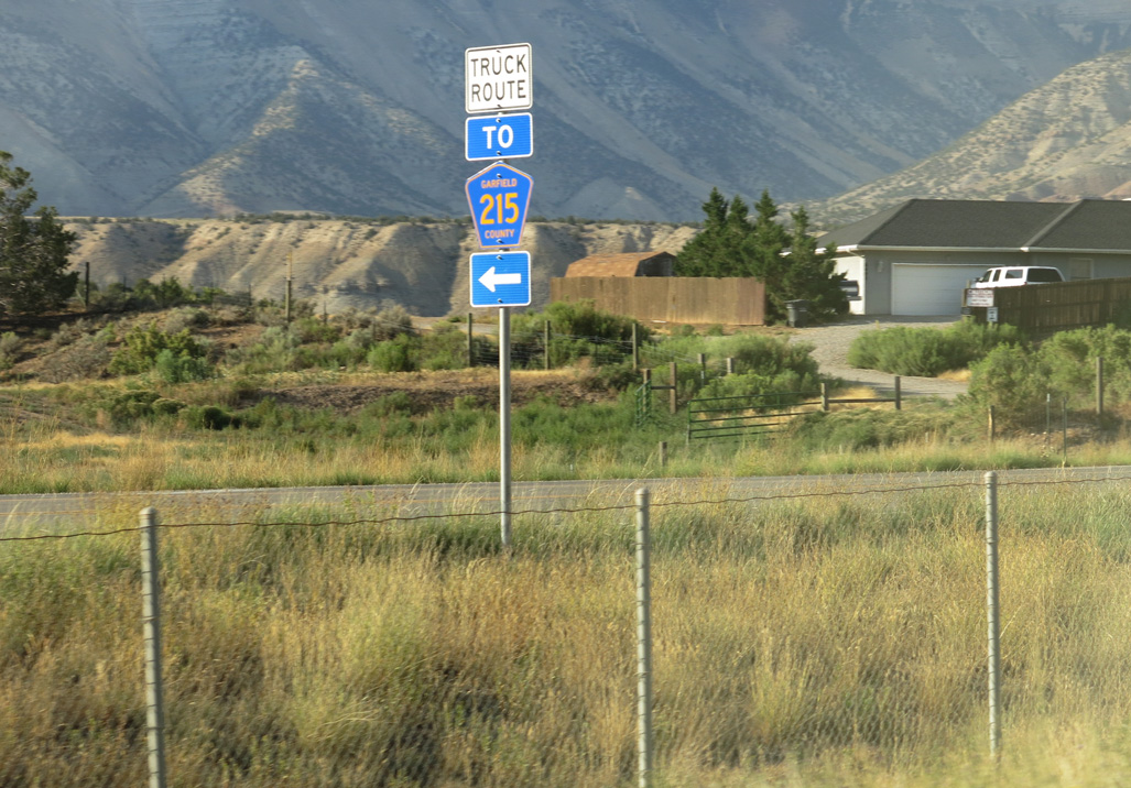
Bypassing the town of Parachute, Parachute Park Boulevard provides a cutoff from U.S. 6 to Garfield County Route 215.
08/15/13
East
A roundabout connects U.S. 6 (Main Street), 9th Street north and unsigned Business Spur I-70 south in the city of Silt.
08/11/16
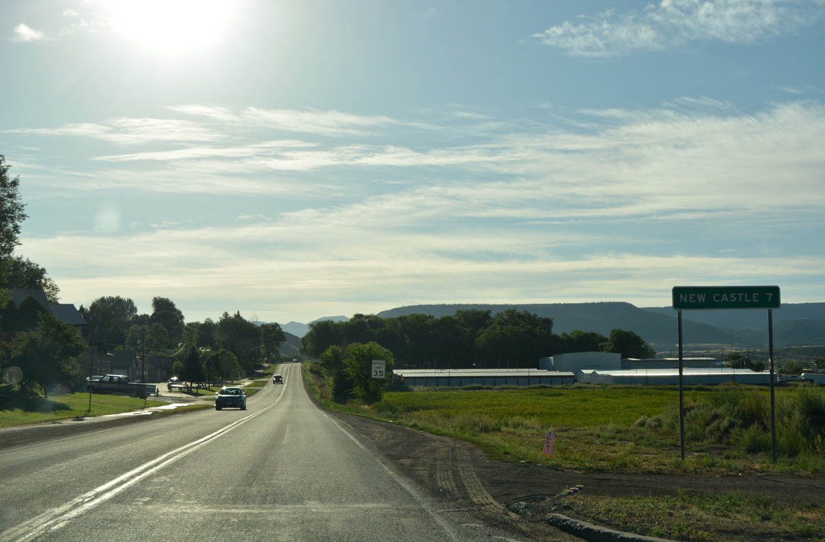
Distance sign posted six miles ahead of New Castle along U.S. 6 (Main Street) east after Business Spur I-70 in Silt.
08/11/16
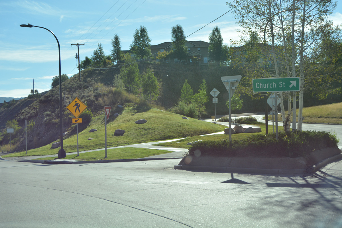
Leaving Downtown Eagle, Grand Avenue (former U.S. 6) enters a roundabout with Church Street south and unsigned Business Spur I-70 (Eby Creek Road) north.
08/11/16
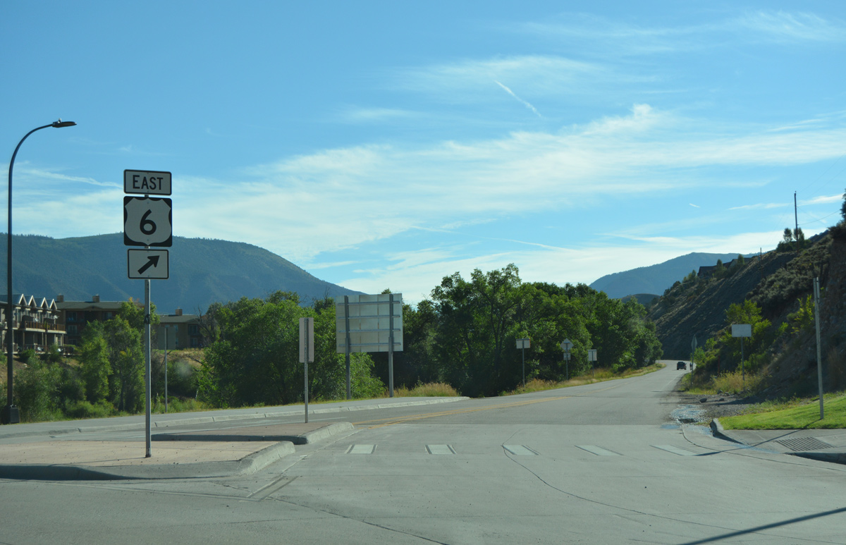
Eby Creek Road heads north to an array of traveler services by I-70. Route 006E commences just east of Grand Avenue, leading U.S. 6 east from Eagle to Red Canyon.
08/11/16
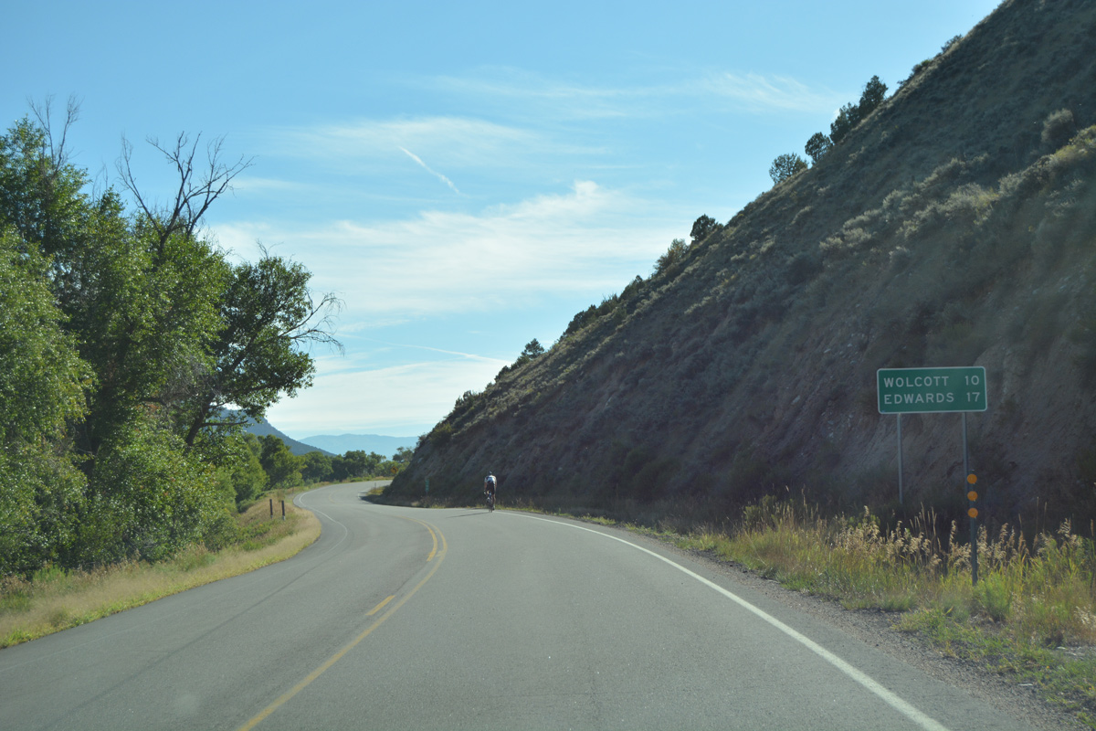
Continuing east from Eagle, U.S. 6 reaches the unincorporated town of Wolcott and SH 131 in ten miles and the suburban community of Edwards in 17 miles.
08/11/16
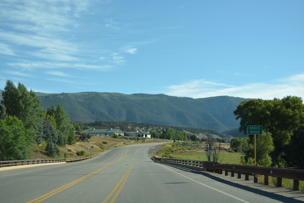
U.S. 6 crosses the Eagle River east of Eagle on a bridge built in 2012.
08/11/16
Photo Credits:
- AARoads: 10/18/04
- ABRoads: 08/10/16, 08/11/16
- Andy Field: 08/15/13
Connect with:
Page Updated Tuesday March 28, 2017.