
U.S. 6 West - Eagle, Silt, Rifle
 West
West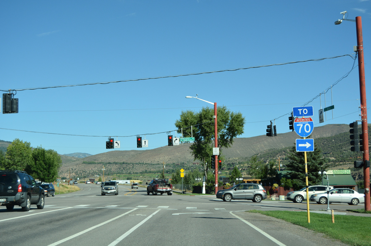
Westbound U.S. 6 at the unsigned Business Spur I-70G (Edwards Access Road) linking Edwards with I-70 at Exit 163.
08/11/16
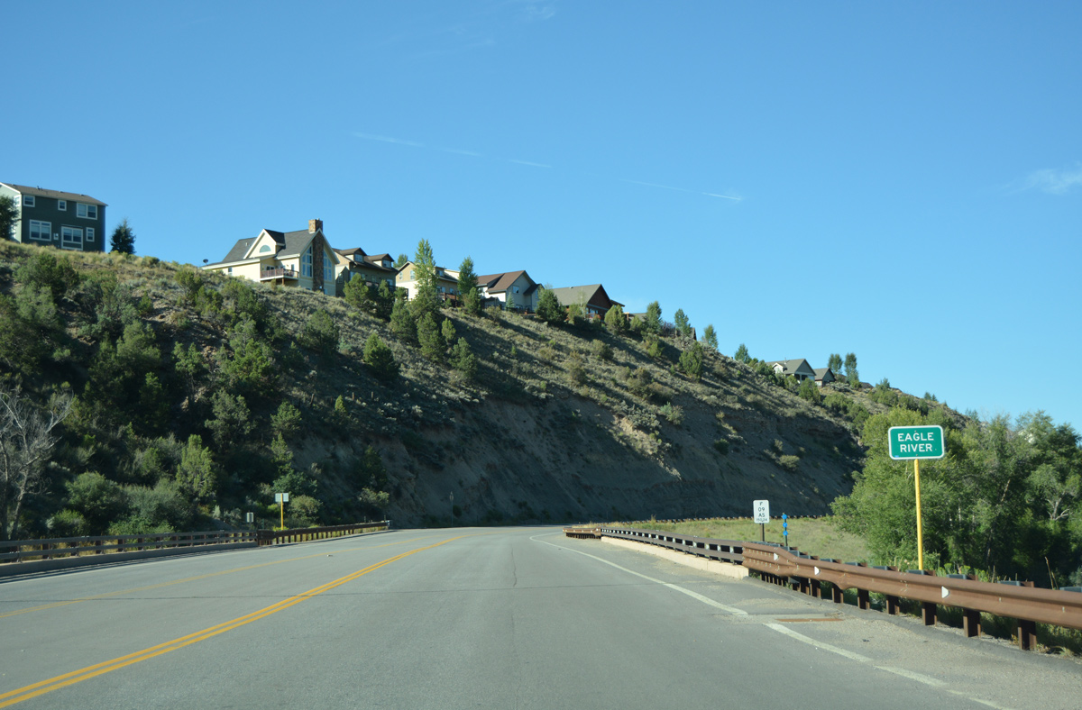
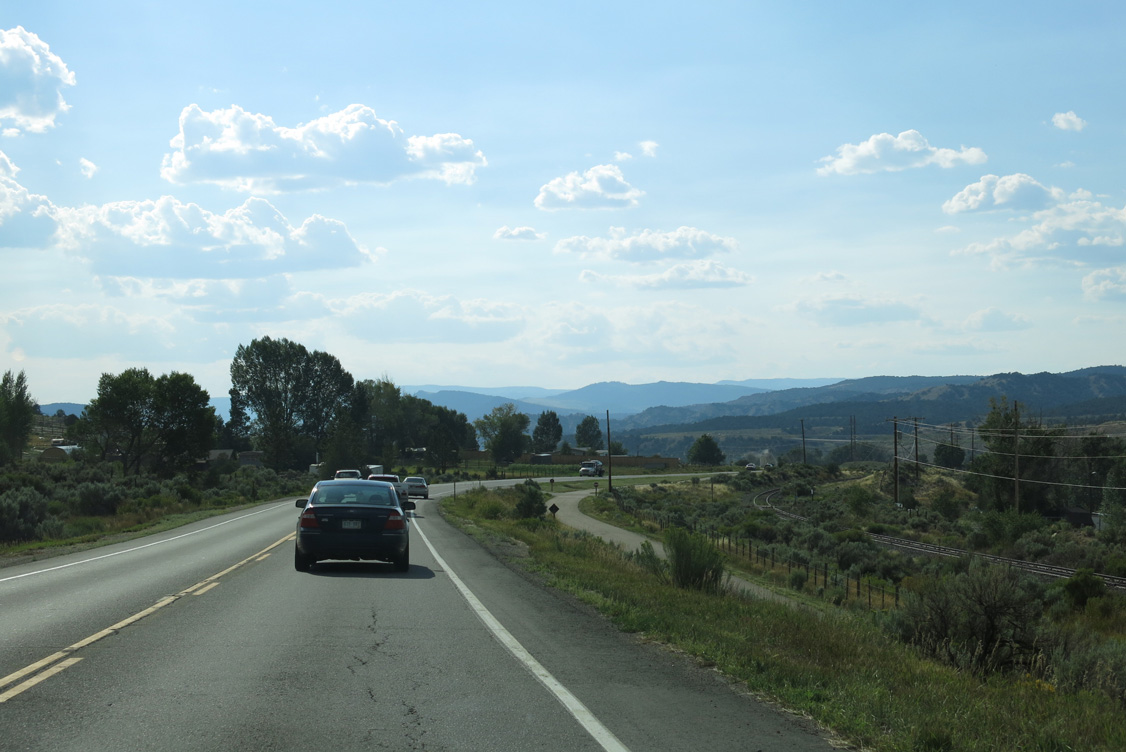
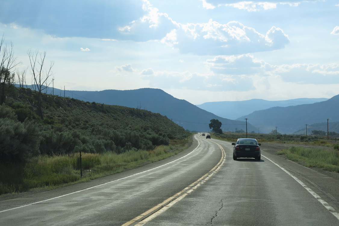
U.S. 6 travels between the Eagle River and bluff below an adjacent subdivision to enter the Eagle town limits.
08/11/16
With just 2,800 vehicles per day (vpd) in 2015, U.S. 6 is a lightly traveled route from Eagle to the east. The advent of traffic from Business Spur I-70 (Eby Creek Road) swells that number to 15,000 vpd.
08/11/16
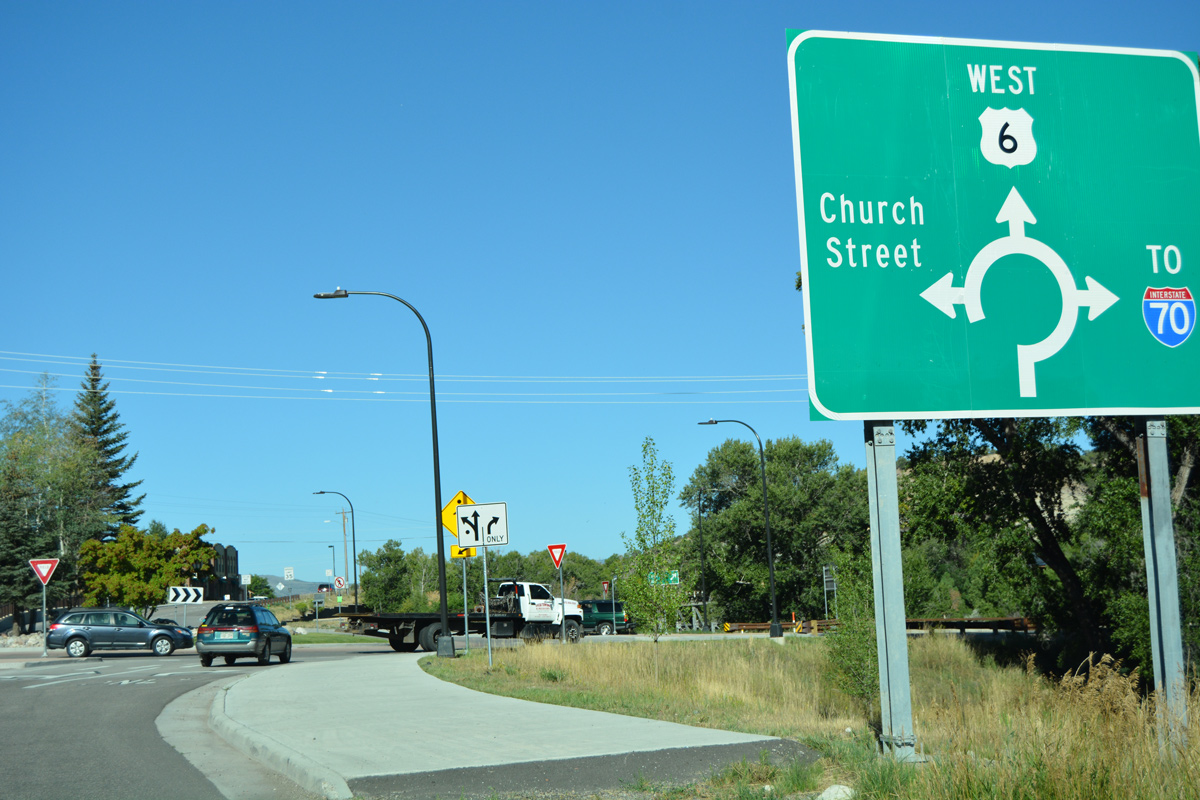
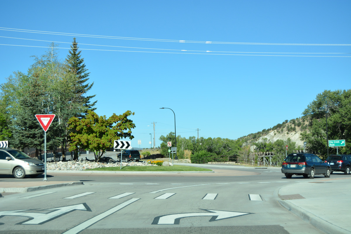
A diagrammatic sign outlines the U.S. 6 roundabout with Eby Creek Road north to I-70 and Church Street south to Eagle Valley Middle School.
08/11/16
U.S. 6 formerly continued through the single lane roundabout to Grand Avenue west ahead of Capitol Street and Downtown Eagle. This section Segment E (Route 006E) was turned over to local maintenance.
08/11/16
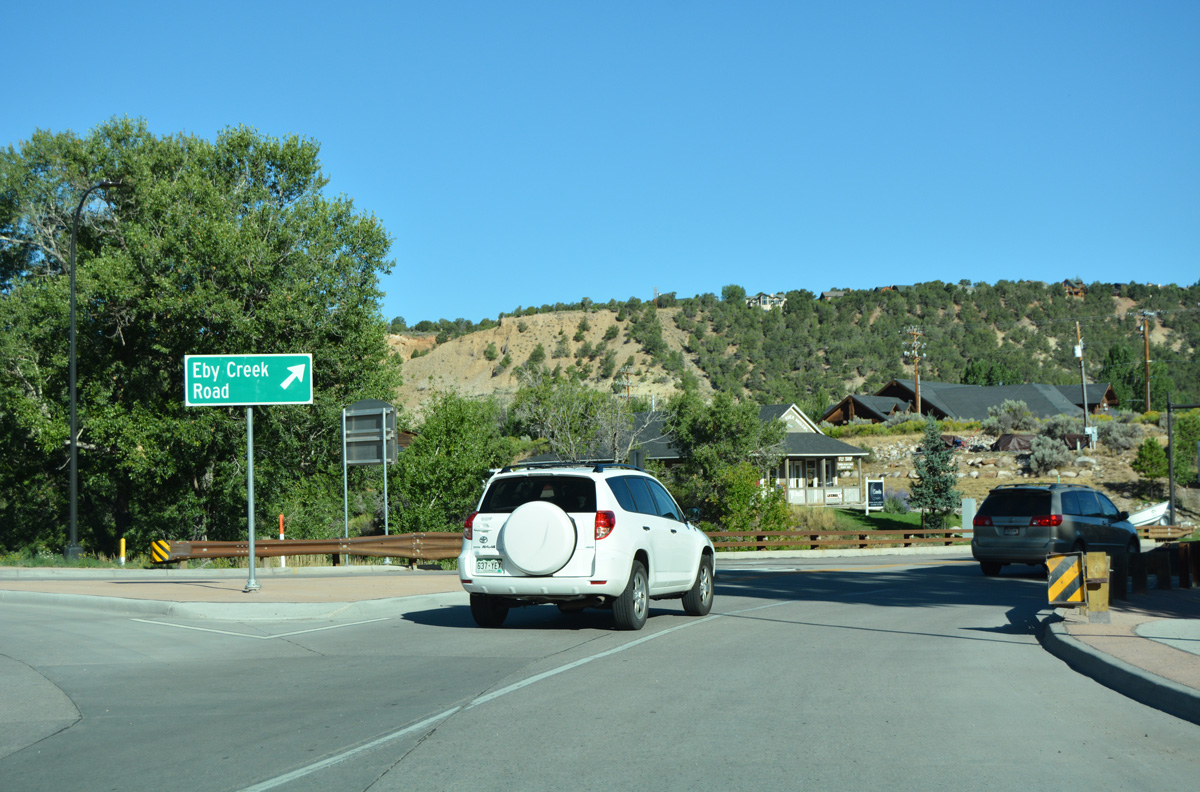
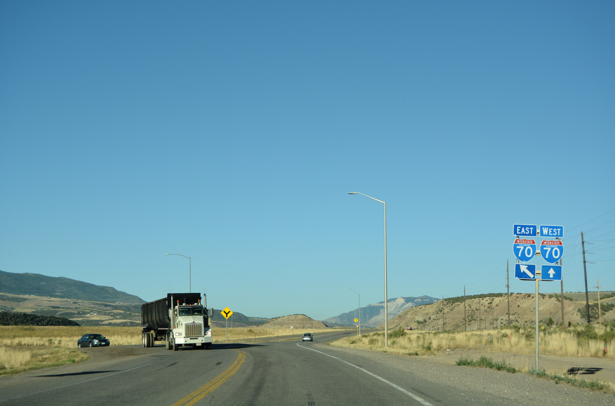
Business Spur I-70F is unsigned, with signs solely referencing the 0.35 mile route as Eby Creek Road. The collector route passes through a series of roundabouts north to Chambers Avenue and the ramps with Interstate 70 at Exit 147.
08/11/16
U.S. 6 (Main Street) progresses west through the Silt business district ahead of Cactus Valley.
08/11/16
West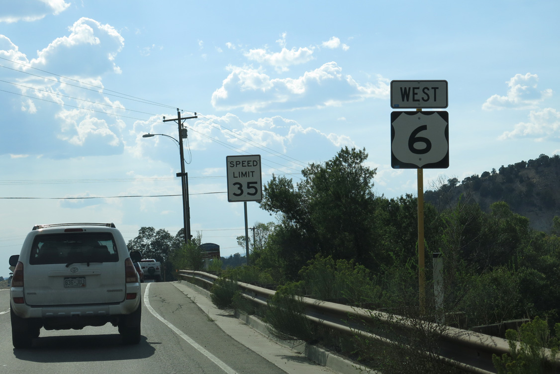
The confirming marker for U.S. 6 posted west between Eby Creek Road and Capitol Street in Eagle was removed by 2018.
08/15/13

Grand Avenue enters a roundabout with Violet Lane north and Sylvan Lake Road south beyond King Road in Eagle.
08/15/13
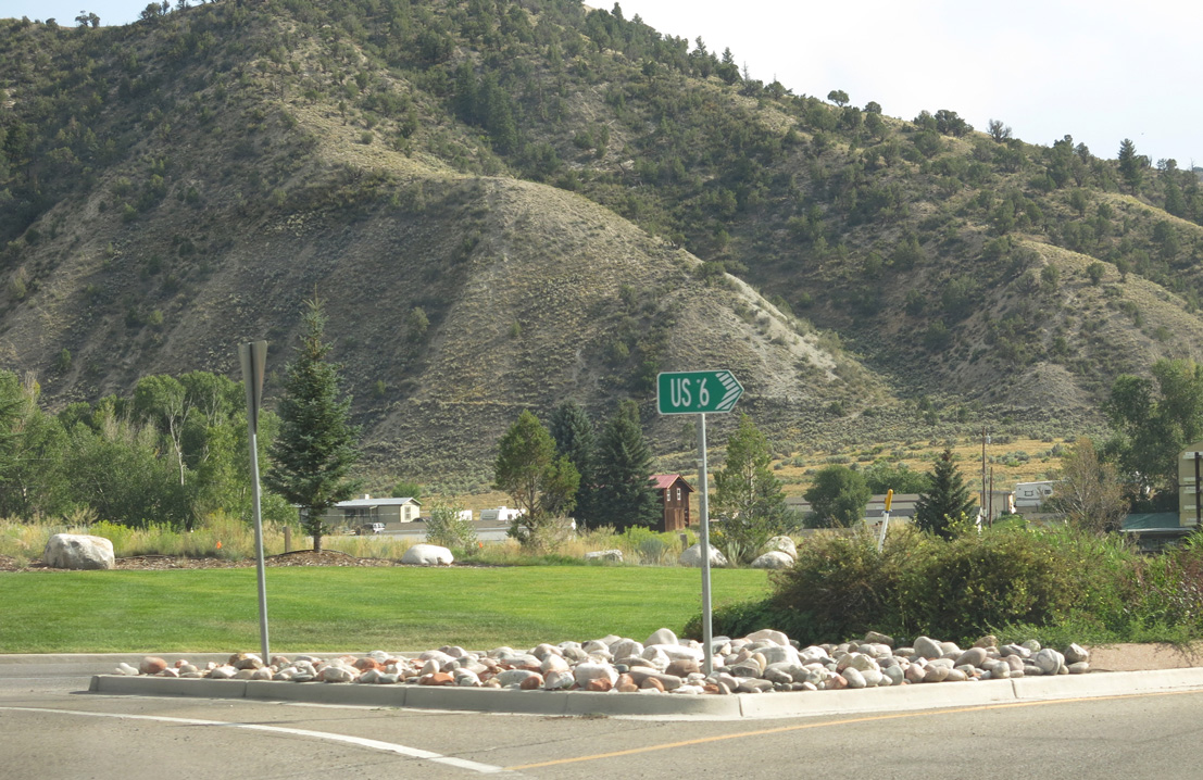
U.S. 6 remained acknowledged at the roundabout with Sylvan Lake Road as of 2021.
08/15/13
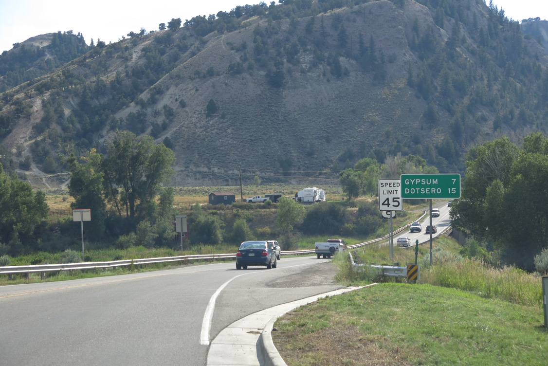
The town of Gypsum lies six miles west of Sylvan Lake Road along old U.S. 6.
08/15/13
The U.S. 6 westbound reassurance marker preceding Brush Creek was removed by 2018.
08/15/13
U.S. 6 parallels the Eagle River and Union Pacific Railroad south between Hockett Gulch and Skillman Gulch.
08/15/13
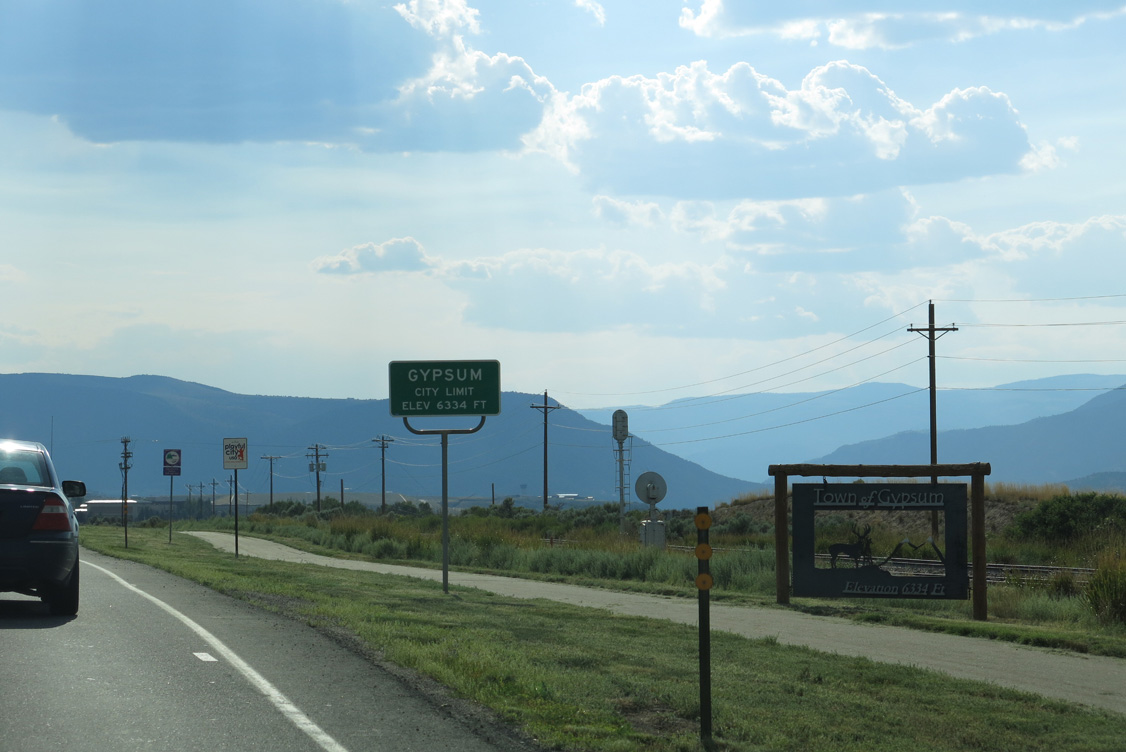
The Gypsum municipal limits extend well east from the town center.
08/15/13
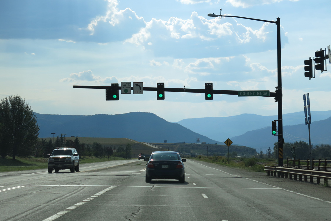
Cooley Mesa Road arcs southwest from U.S. 6 around adjacent big box retail to Eagle County Regional Airport (EGE).
08/15/13
The succeeding shield for U.S. 6 was posted on the north side of Eagle County Regional Airport (EGE).
08/15/13
N Airport Road ties into U.S. 6 from EGE Airport at the ensuing intersection.
08/15/13
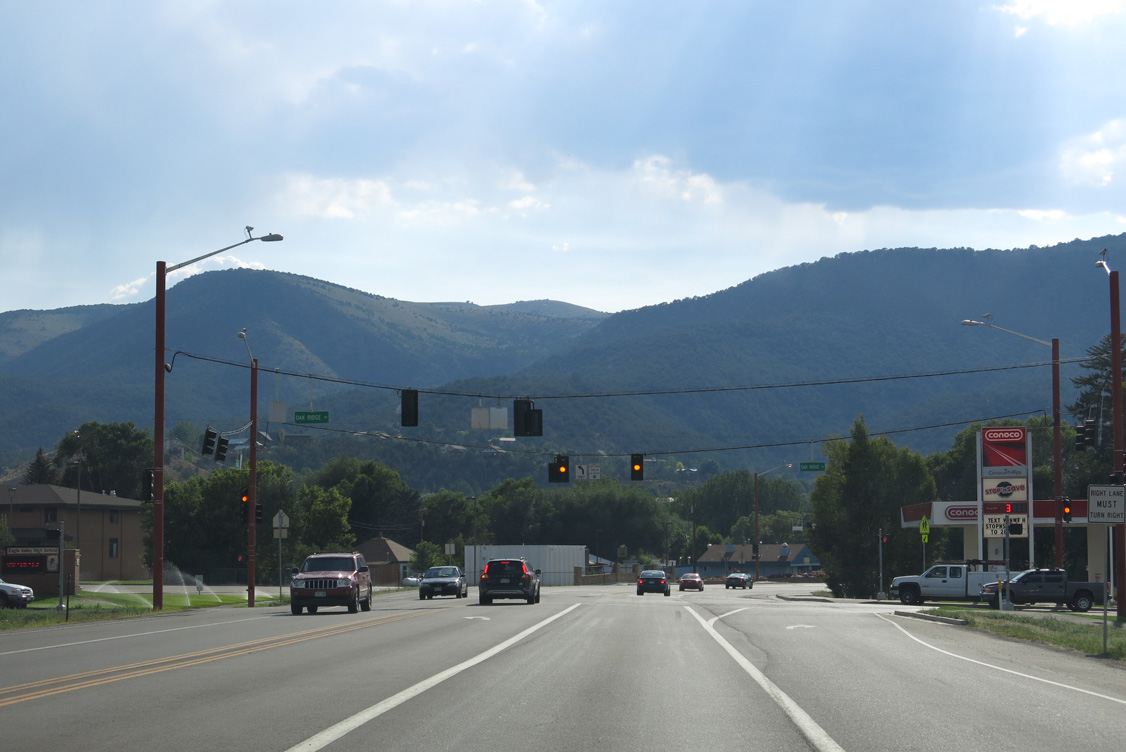
The traffic light at Oak Ridge Drive serves Eagle Valley High School.
08/15/13
Valley Road stems 1.95 miles south to suburban areas of Gypsum at Cottonwood Pass Road and Gypsum Creek Road.
08/15/13

Curving northwest across Gypsum Creek, U.S. 6 advances to the Union Pacific Railroad bridge.
08/15/13
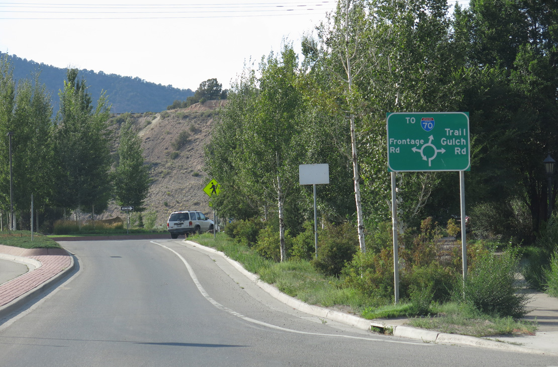
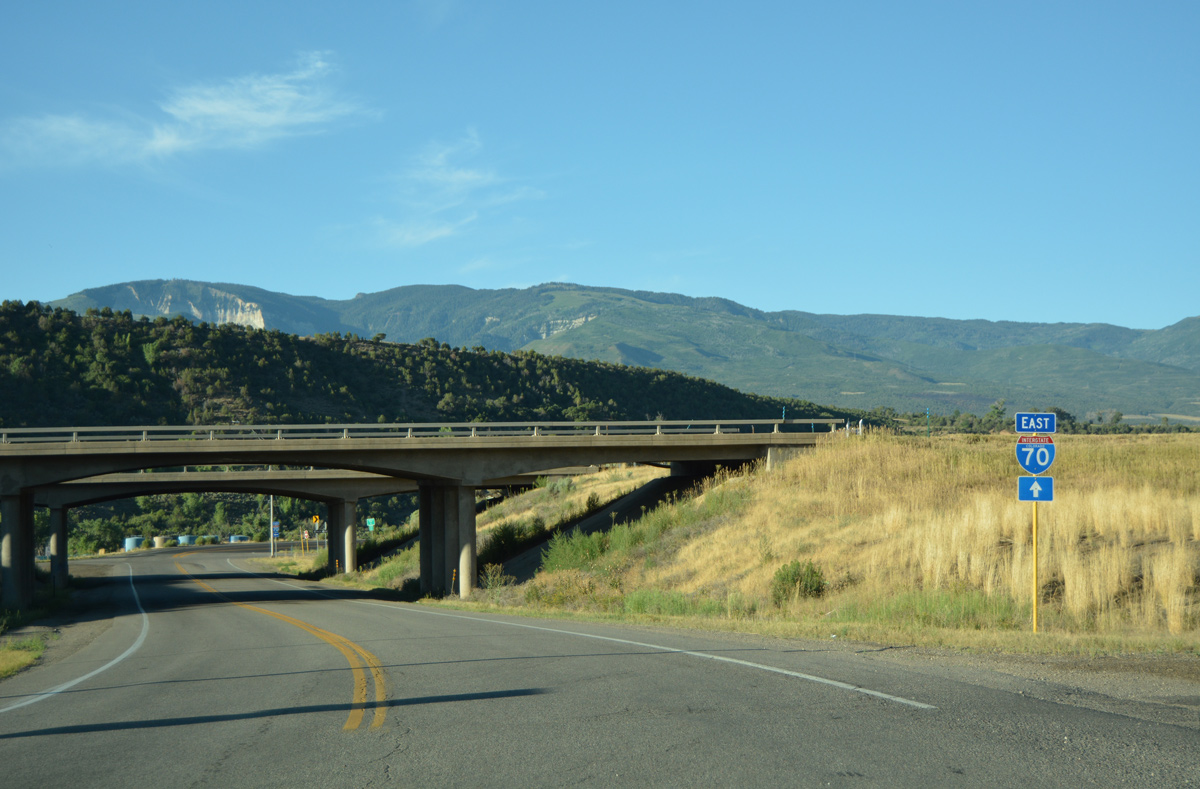
U.S. 6 enters a roundabout with the I-70 Frontage Road and Trail Gulch Road north between River View Road and the diamond interchange at Exit 140.
08/15/13
Route 006N constitutes 0.175 miles of Trail Gulch Road through the exchange with Interstate 70.
08/15/13
Interstate 70 leads east back to Eagle, Avon and Vail.
08/15/13
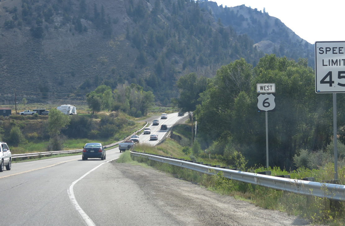
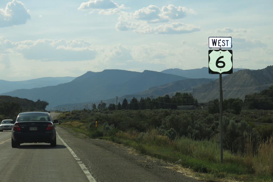
I-70/U.S. 6 west continue to Dotsero, Glenwood Canyon and Glenwood Springs.
08/15/13
West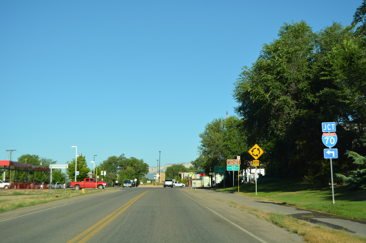
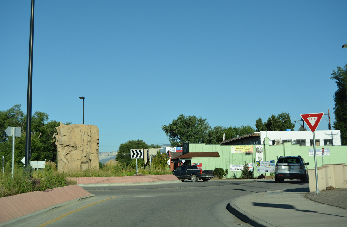
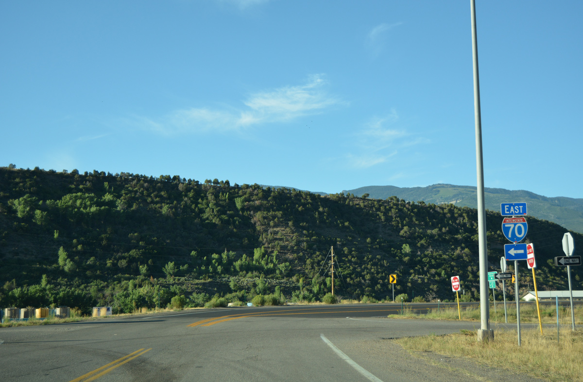
Traveling west into the city of Silt, U.S. 6 (Main Street) approaches the roundabout with unsigned Business Spur I-70 south to I-70.
08/11/16
Business Spur I-70 spans the Union Pacific Railroad to connect U.S. 6 with Interstate 70 and the River Frontage Road east to CR 311.
08/11/16
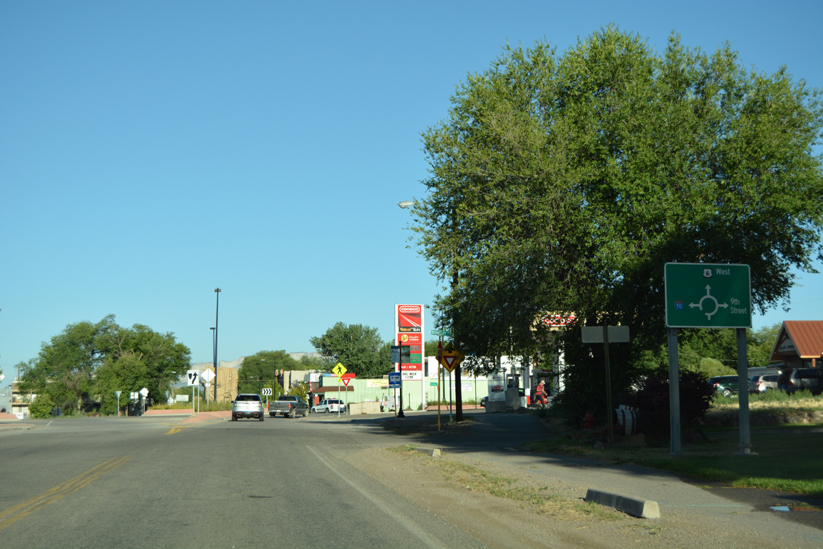
9th Street ties into U.S. 6 and Business Spur I-70 from a residential area north of the Silt business district.
08/11/16
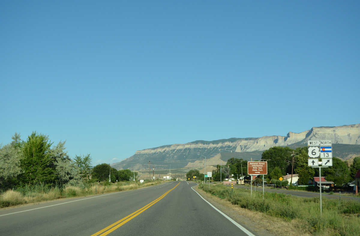
West  North
North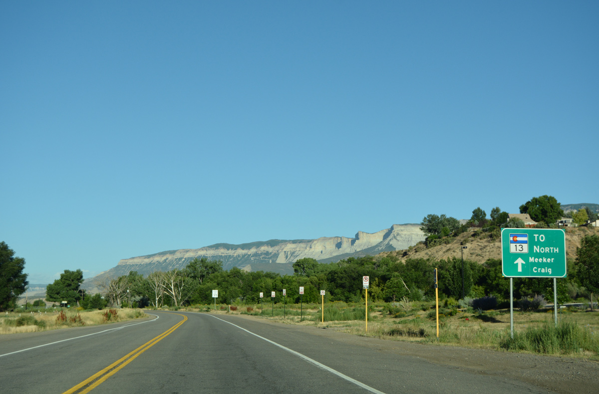
SH 13 follows U.S. 6 (Centennial Parkway) west for 0.7 miles to the Rifle Bypass. The bypass alignment was formed by 1985.1
08/11/16
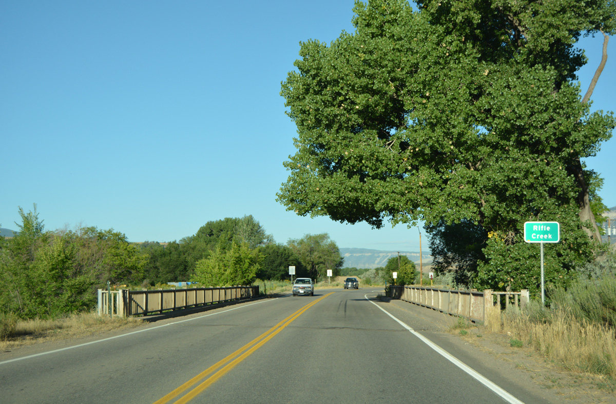
Centennial Parkway shifts southward from the vicinity of Downtown Rifle toward both the adjacent Union Pacific Railroad and a crossing of Rifle Creek.
08/11/16
Rifle Bypass leads SH 13 north across Prefrontaine Mesa to Railroad Avenue at 20th Street.
08/11/16
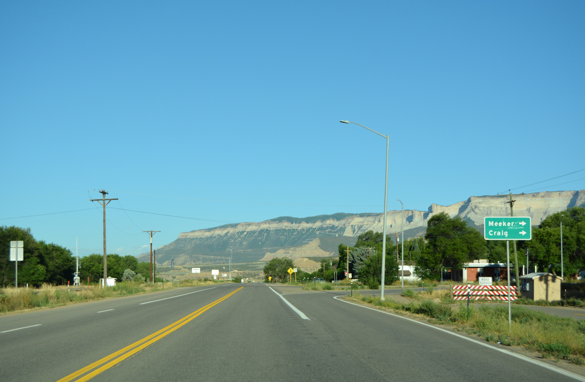
Meeker lies 41 miles to the north in Rio Blanco County. Craig is located 88 miles away on U.S. 40.
08/11/16
West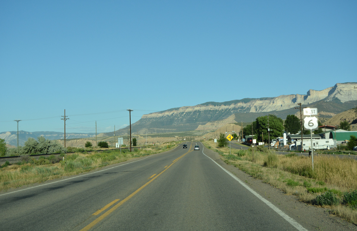
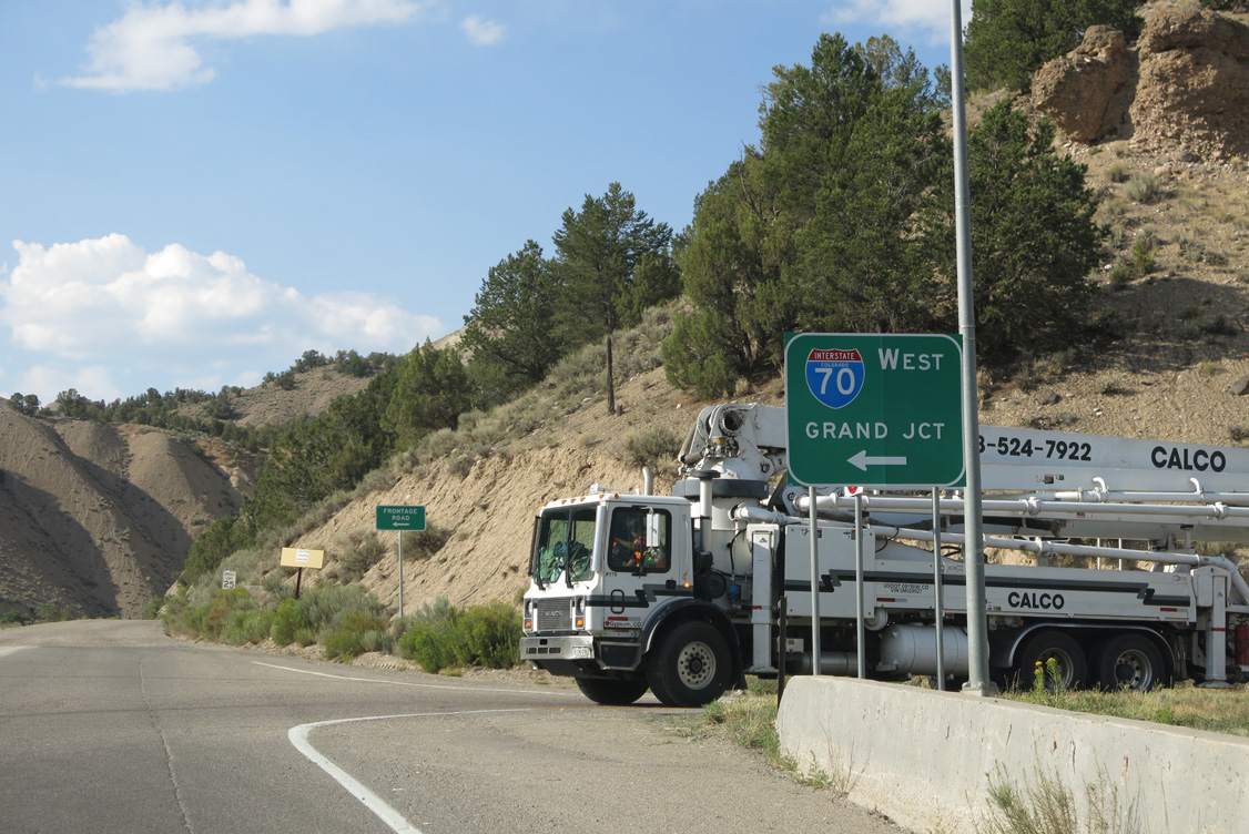
A frontage road accompanies U.S. 6 west from SH 13 through industrial areas of west Rifle. The historic alignment of U.S. 6 follows 2nd Street along Pioneer Ditch to the north.
08/11/16
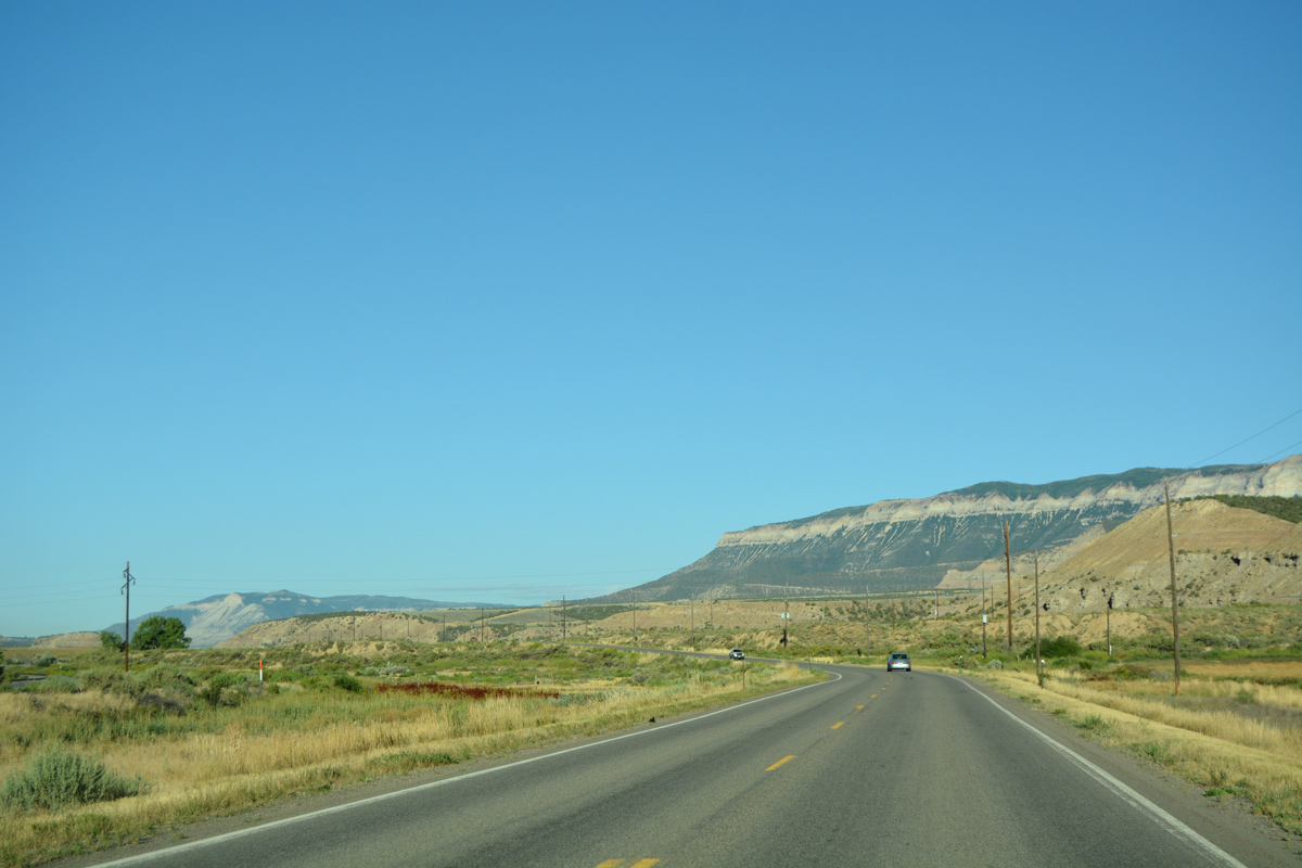
The Roan Cliffs rise due west of Rifle in this scene along U.S. 6 westbound.
08/11/16
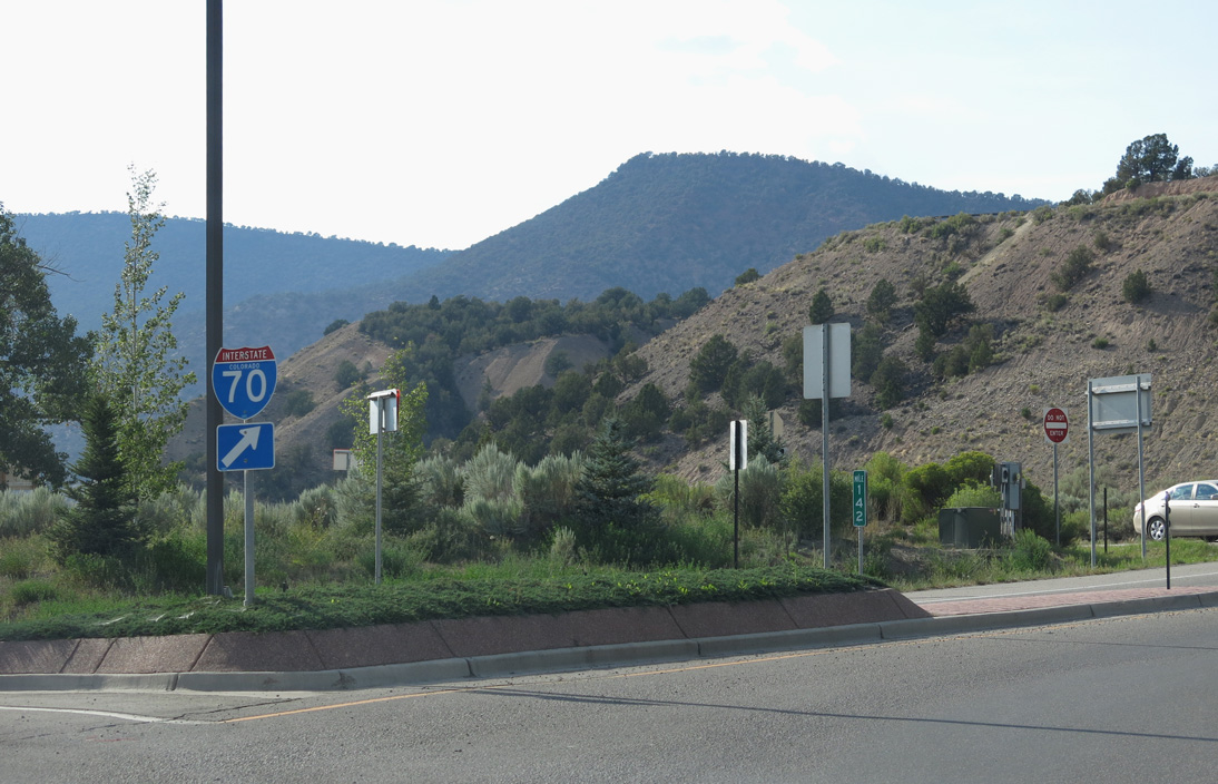
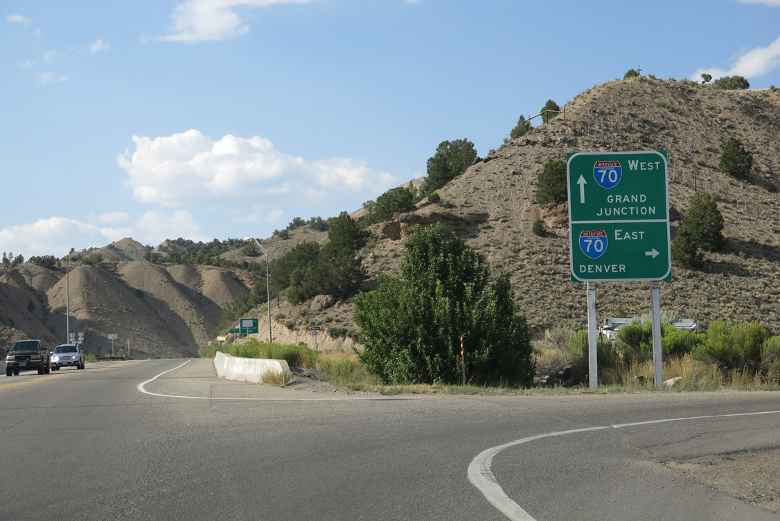
A diamond interchange joins U.S. 6 with Interstate 70 at west Rifle.
08/11/16
Segment L of U.S. 6 ends at Interstate 70. Segment M takes over on the south side of the freeway to Rulison.
08/11/16
The eastbound on-ramp leads motorists back to Rifle, with I-70 spanning the Colorado River nearby.
08/11/16
References:
Photo Credits:
- ABRoads: 08/11/16
- Andy Field: 08/15/13
Connect with:
Page Updated Tuesday February 01, 2022.