
U.S. 6 West - Wilton to Coralville

 West
West  South
South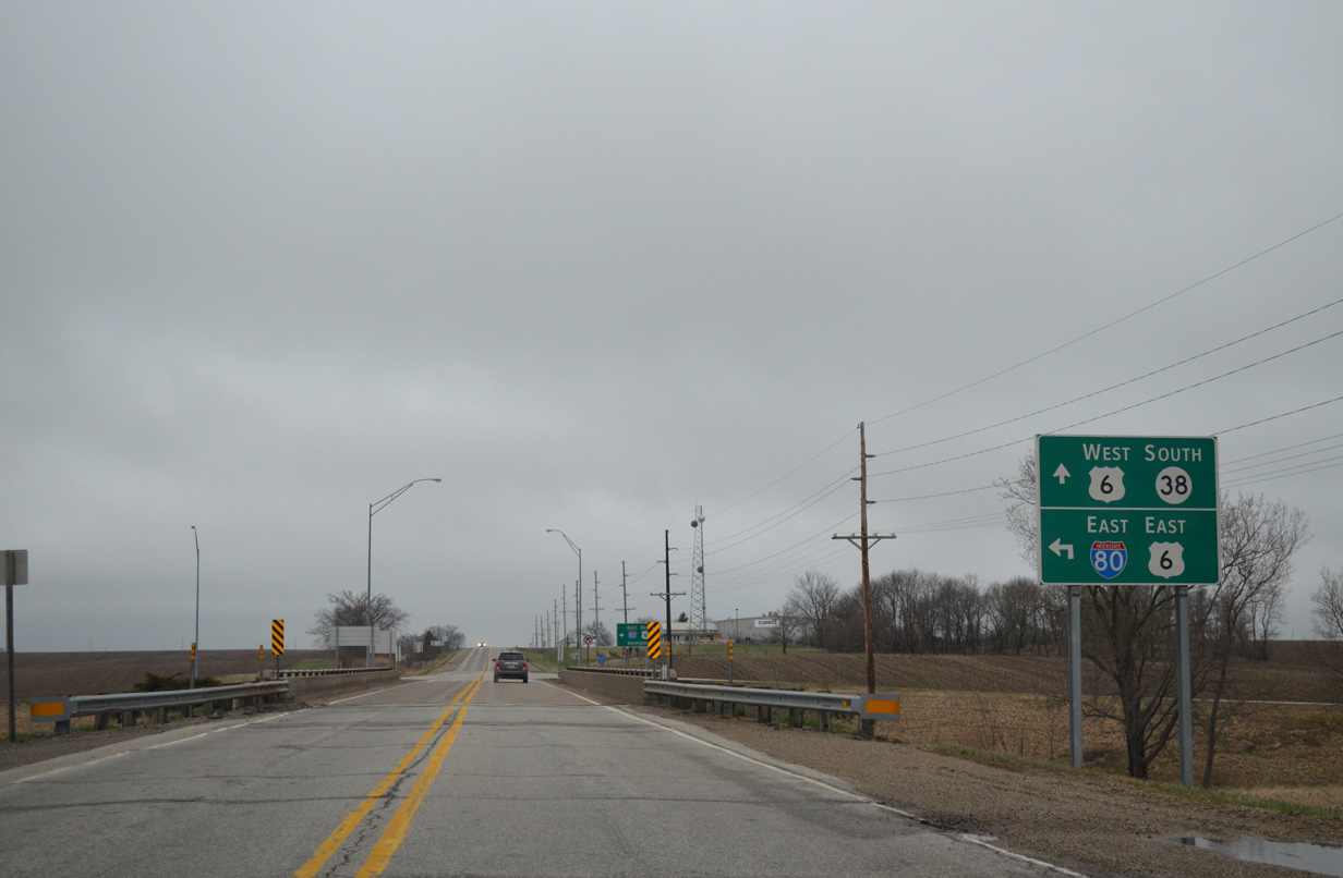
U.S. 6 departs the 20 mile overlap with I-280 and I-80 in Sugar Creek township in Cedar County. The route turns south at CR X64 (Rose Avenue) to combine with Iowa 38.
04/12/13
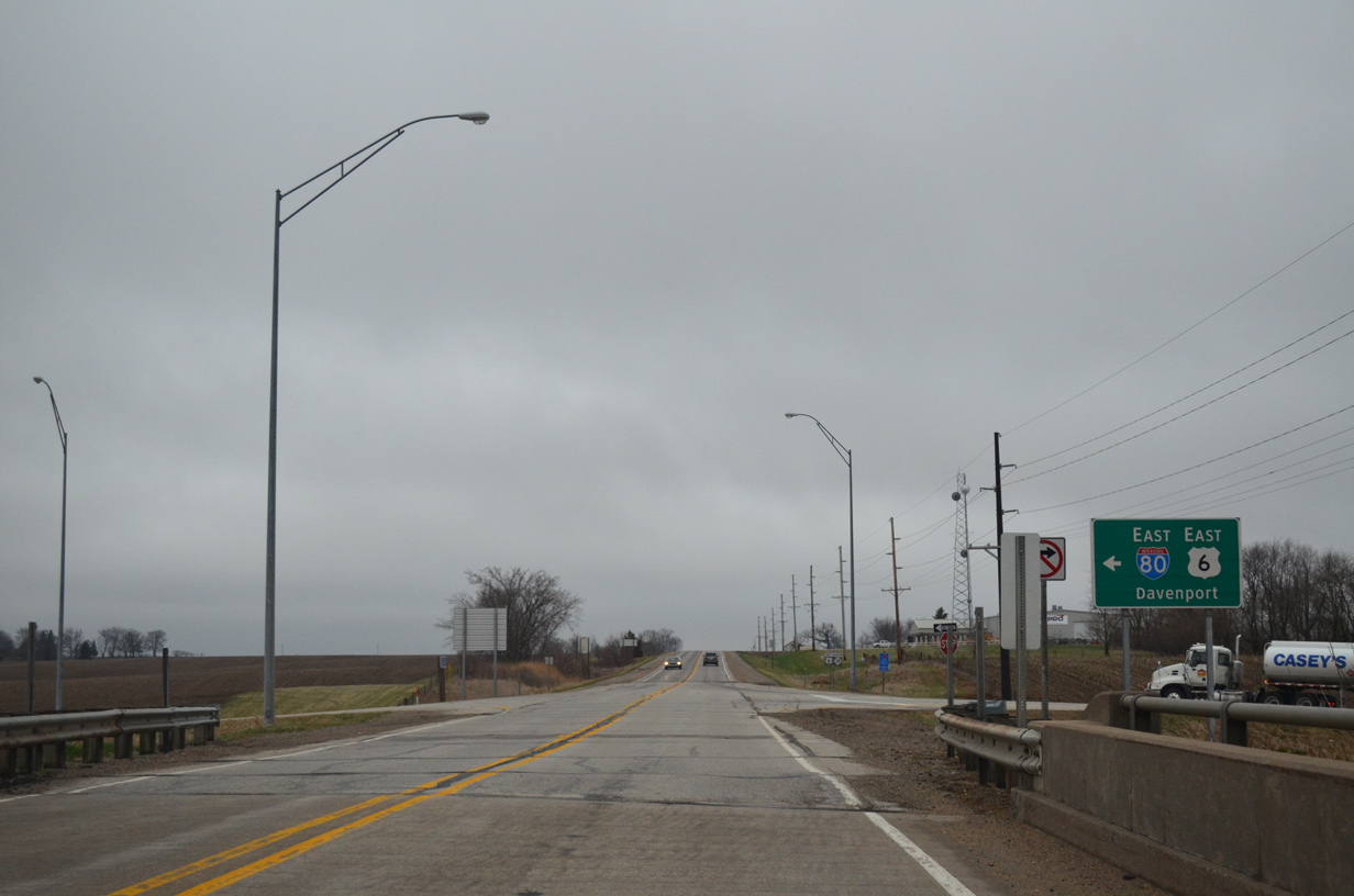
Iowa 38 splits with I-80 east for U.S. 6 west as drivers reach the eastbound on-ramp from CR X64 back to the Quad Cities.
04/12/13
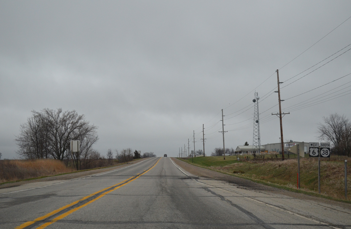
U.S. 6/Iowa 38 travel 2.5 miles south to the Muscatine County line.
04/12/13
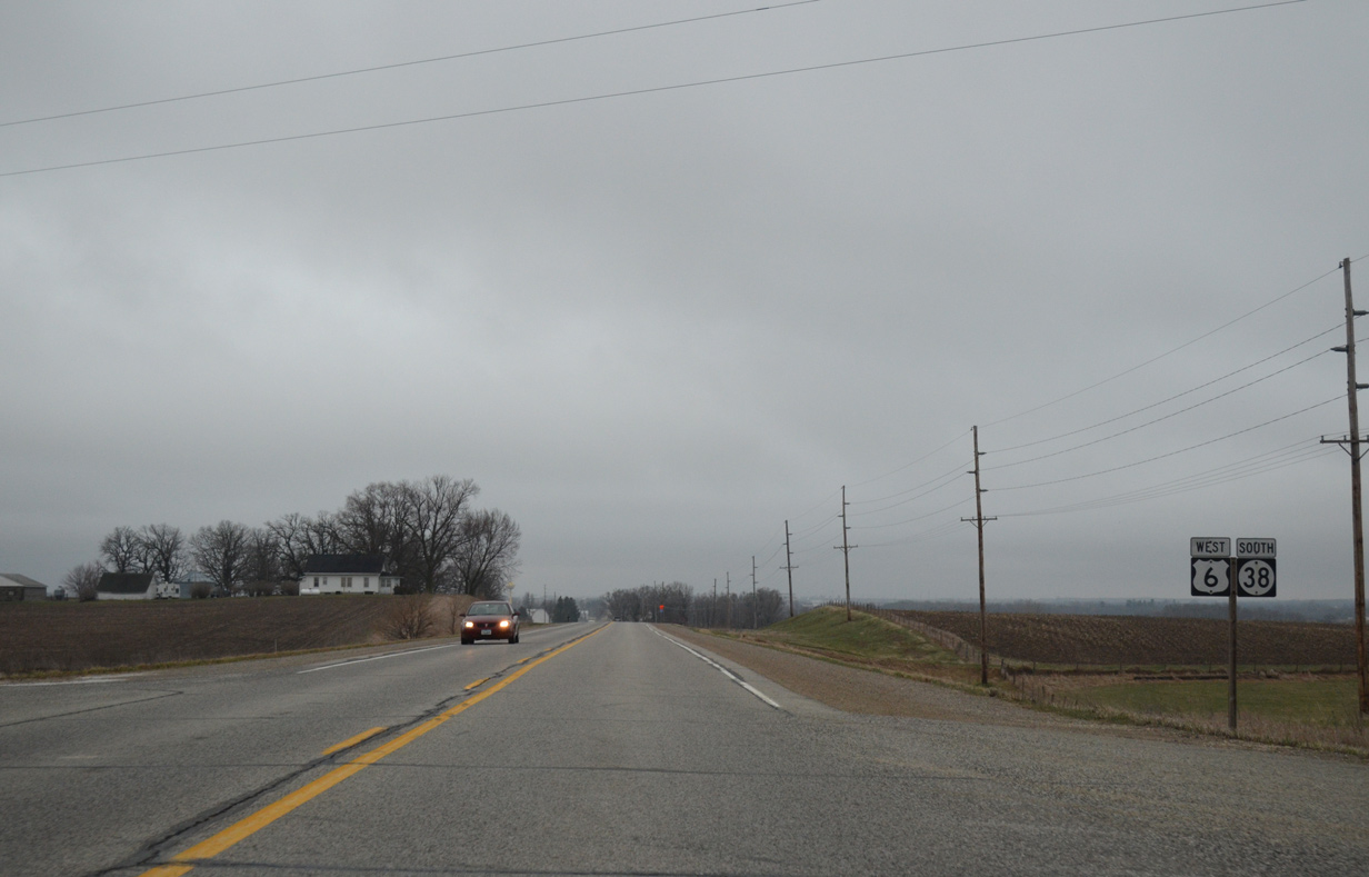
County Road F51 (Old Muscatine Road) angles southeast from Pine Avenue to intersect U.S. 6/Iowa 38 ahead of this shield assembly. Old Muscatine Road west is the pre-1960 alignment of Iowa 38.
04/12/13
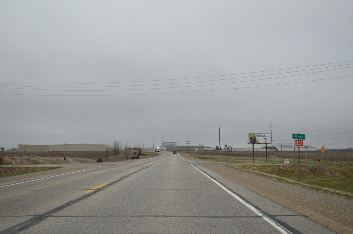
U.S. 6/Iowa 38 enters the city of Wilton just ahead of Cedar Muscatine County Line Road.
04/12/13
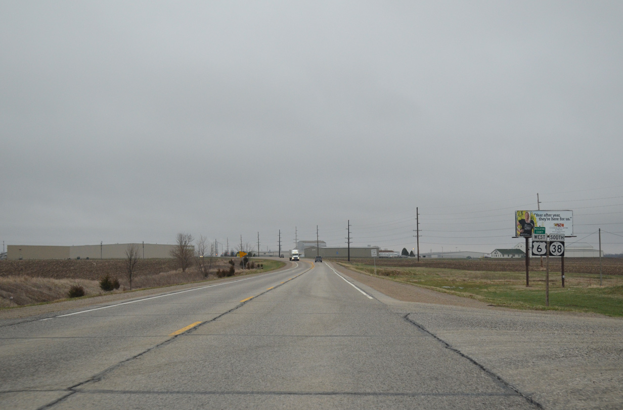
A county line sign is included with the reassurance markers for U.S. 6/Iowa 38 at the county line road intersection.
04/12/13
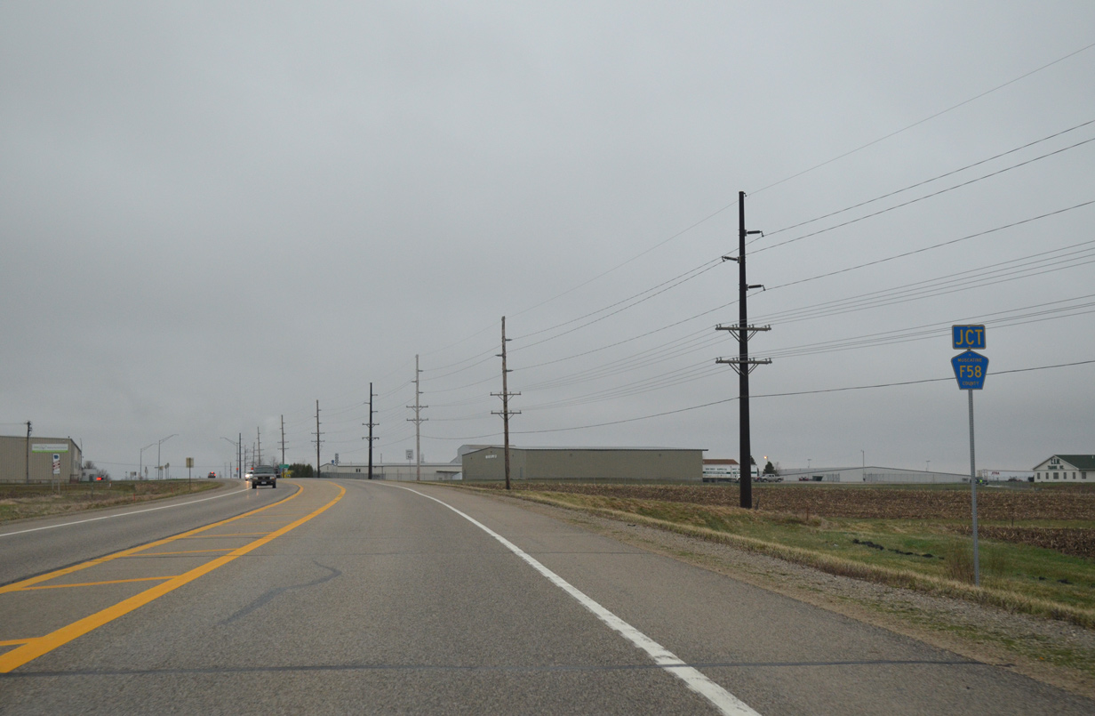
U.S. 6/Iowa 38 stay west of the Wilton city center by Wilton Industrial Park. Meeting the pair west from the business district is County Road F58 (W 5th Street).
04/12/13
County Road F58 replaced Iowa 927 when it was decommissioned on July 1, 2003 between U.S. 6 and I-280.
04/12/13
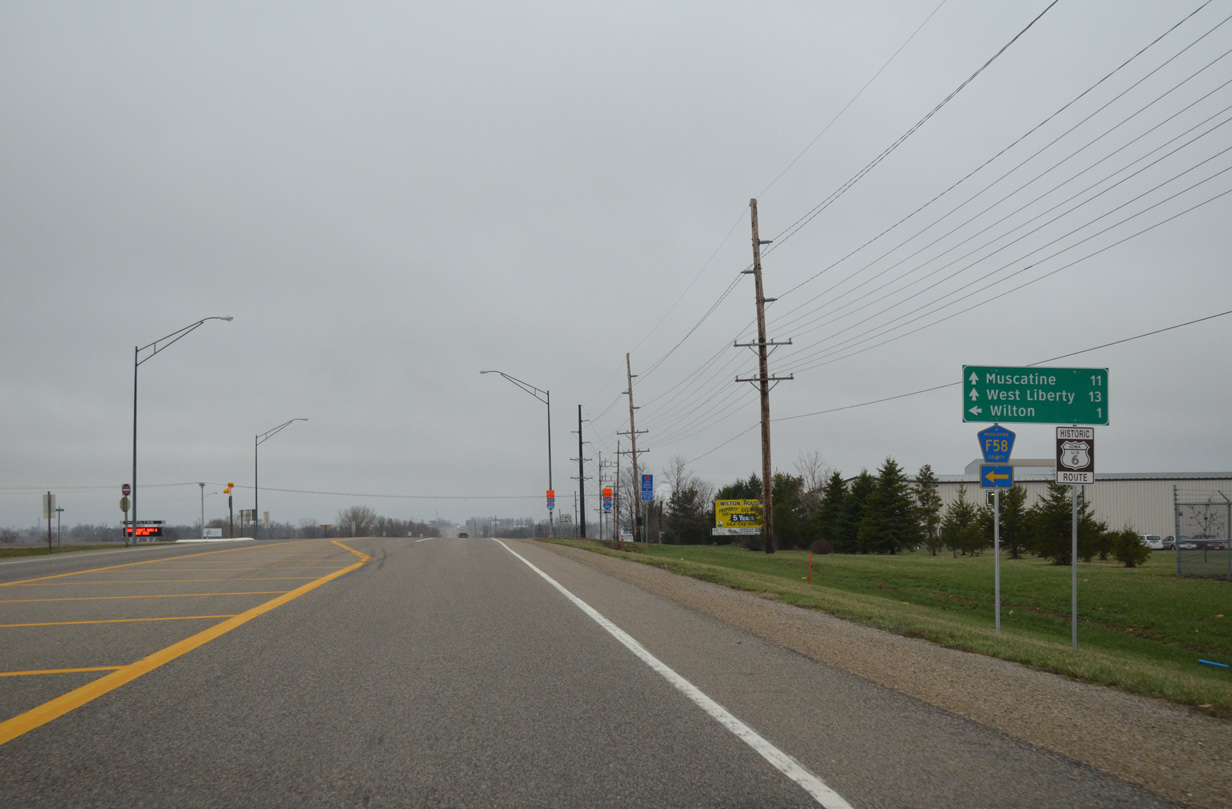
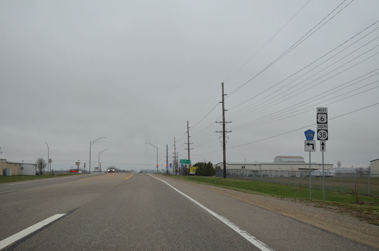
Muscatine County F58 doubles as Historic U.S. 6 east through Wilton. The historic route was designated in 2012. It runs along old U.S. 6 to Durant, Stockton, Walcott and the Kimberly Road interchange with I-280 in Davenport.
04/12/13
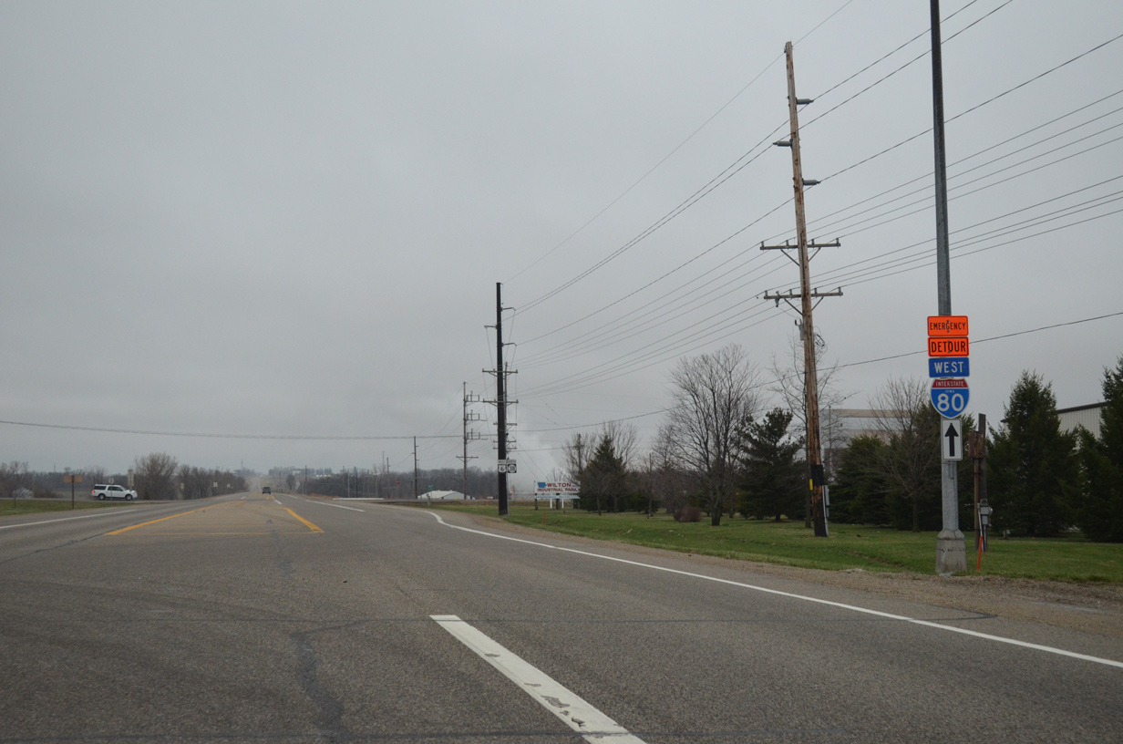
U.S. 6 doubles as an emergency detour route for Interstate 80 to Moscow.
04/12/13
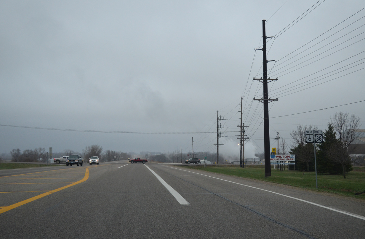
Continuing south, U.S. 6/Iowa 38 span an Iowa Interstate Railroad line east of a steel plant to exit the city of Wilton.
04/12/13
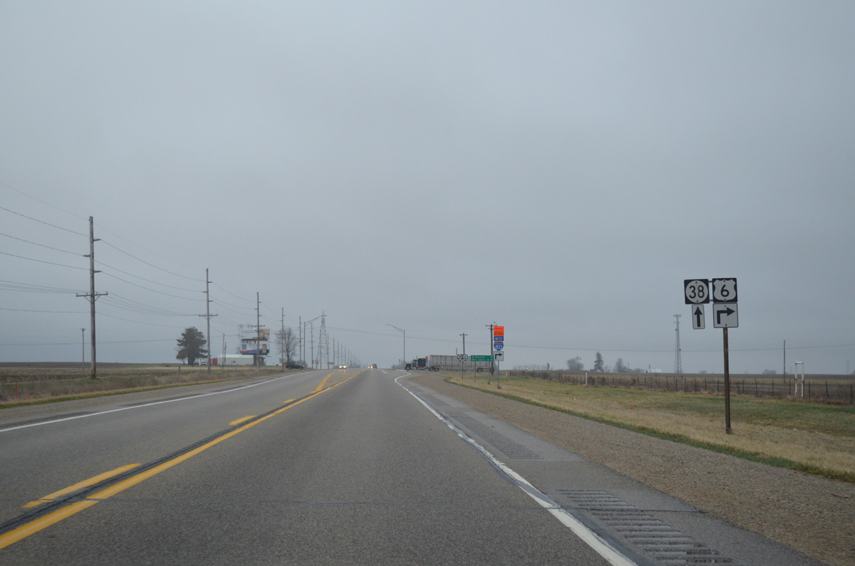
U.S. 6 west / Iowa 38 south cross the Cedar River and then split within one mile at 120th Street.
04/12/13
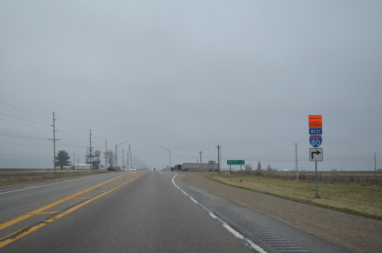
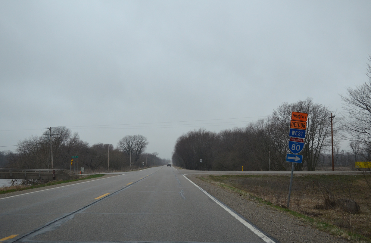
A pair of emergency detour trailblazers for I-80 direct motorists onto U.S. 6 west toward Atalissa. The detour is used during inclement weather when the freeway is closed.
04/12/13
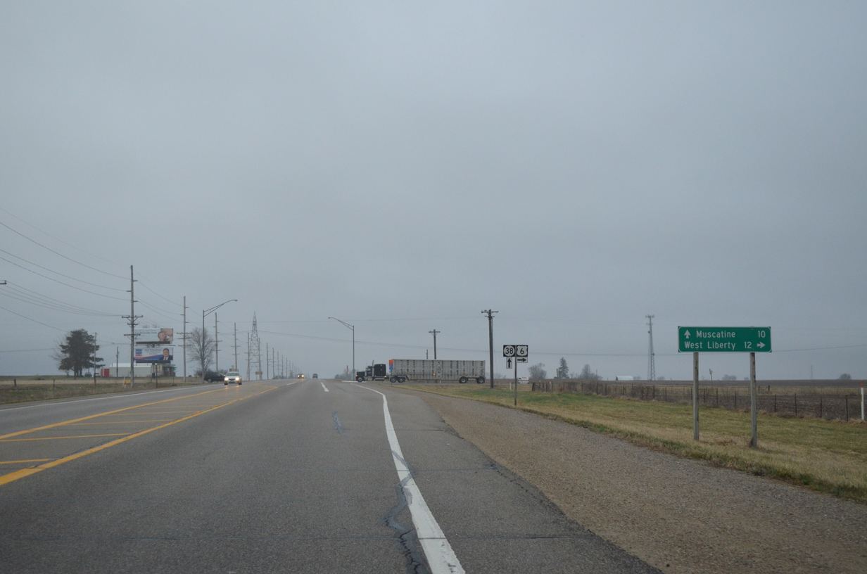
Iowa 38 proceeds south another ten miles into the city of Muscatine. The route ends at Iowa 92.
04/12/13
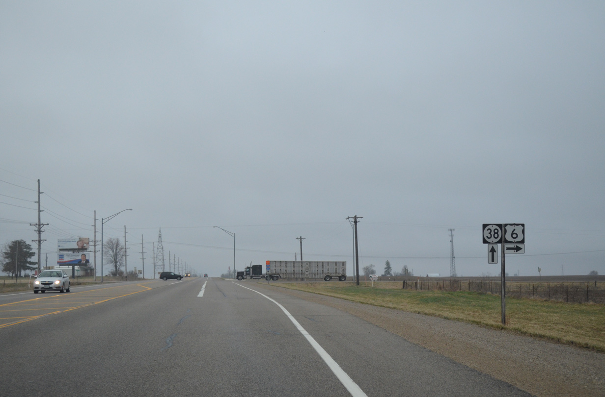
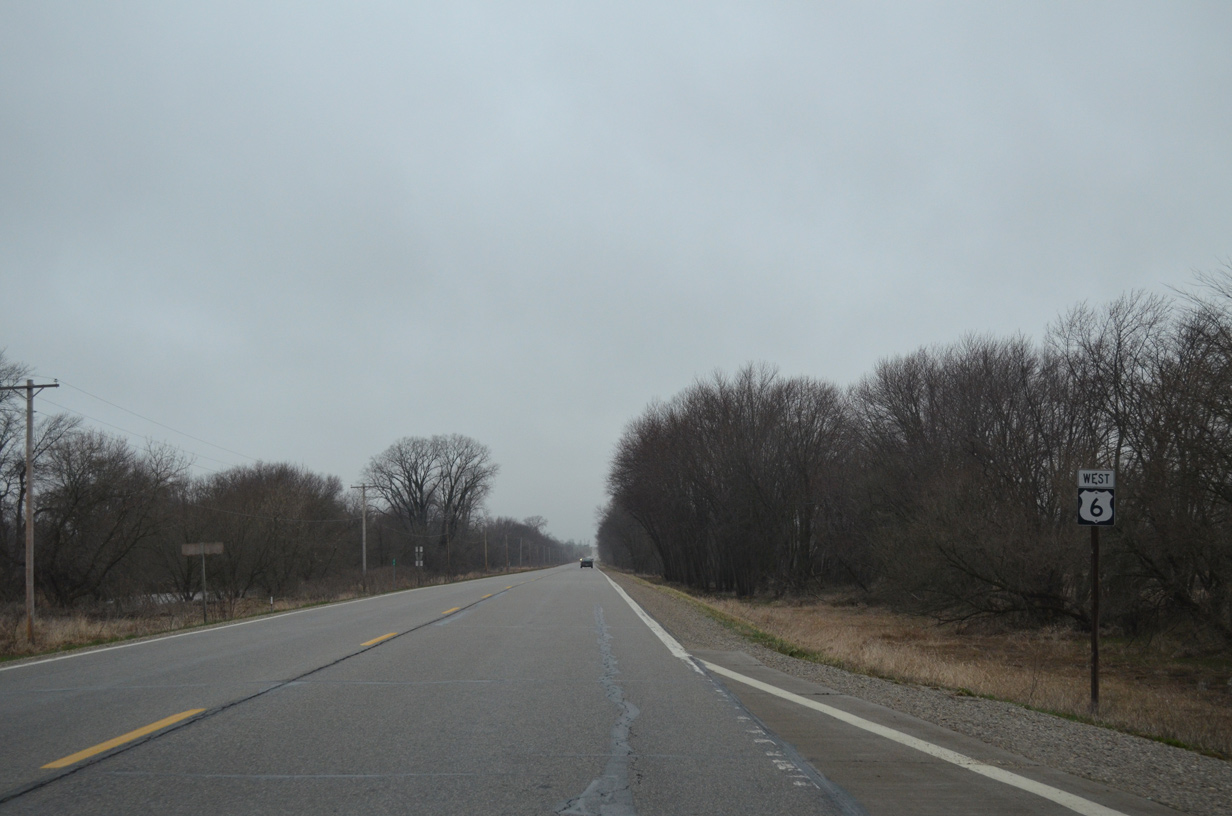
U.S. 6 turns west for the 12 mile drive to West Liberty.
04/12/13
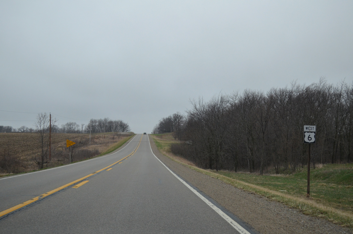
West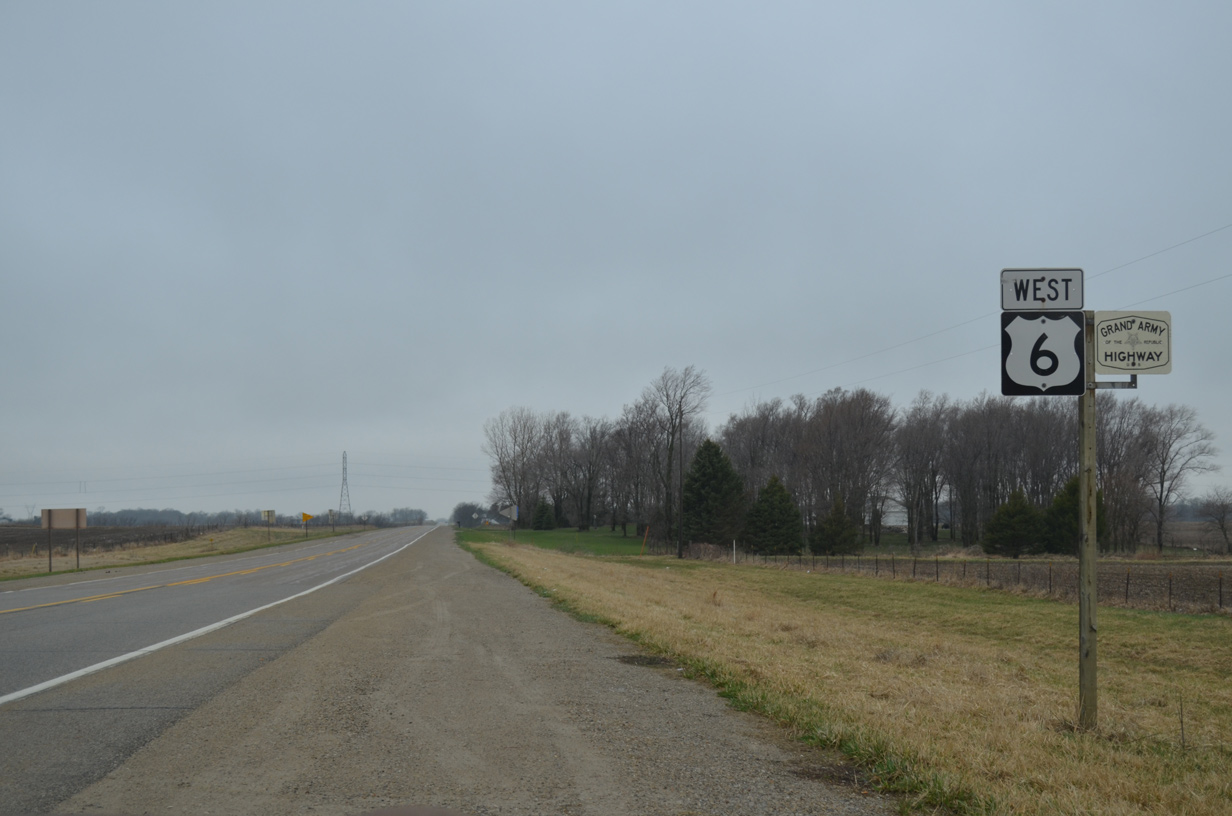
A Grand Army of the Republic Highway trailblazer accompanies the U.S. 6 reassurance marker west of Iowa 38. The designation honors the Union Forces of the Civil War. It was established starting with Massachusetts in 1937 and applies to the entire route of U.S. 6 west to California. A formal dedication of the route took place on May 3, 1953 in Long Beach, CA.1
04/12/13
One mile further west, U.S. 6 intersects North Isett Avenue.
04/12/13
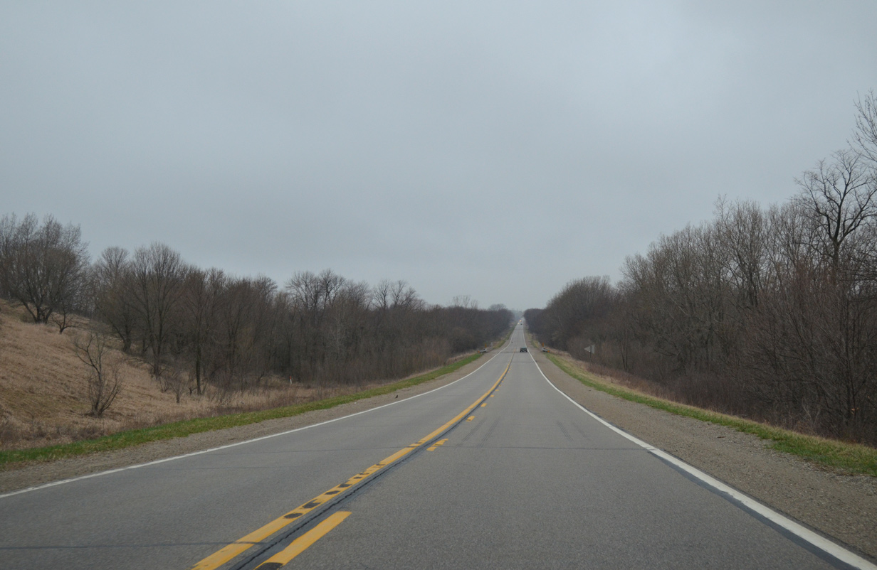
A long straight away takes U.S. 6 west through a wooded area surrounding Sugar Creek.
04/12/13
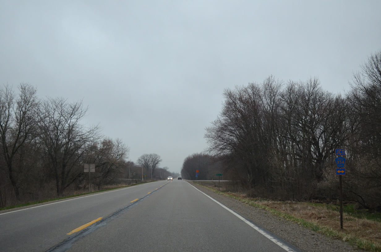
Meeting U.S. 6 next is Muscatine County Route X54 (Moscow Road) north from Muscatine.
04/12/13
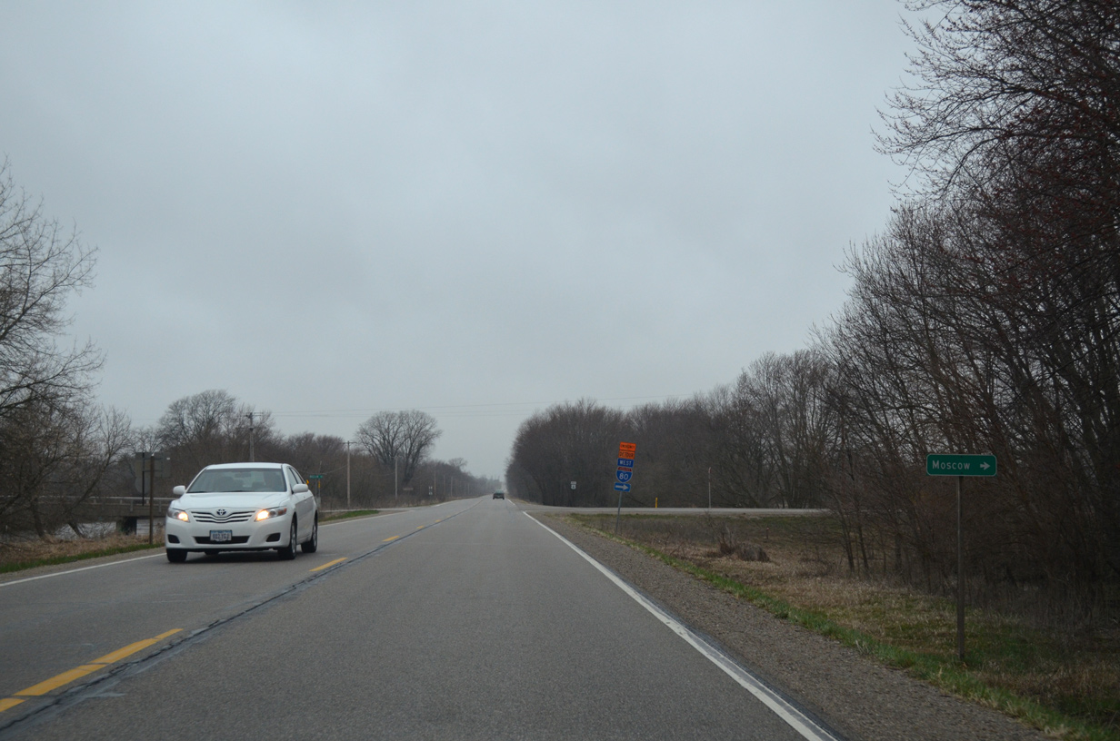
The unincorporated community of Moscow lies just north of U.S. 6 along CR X54 and the Cedar River.
04/12/13
CR X54 leads beyond Moscow into Cedar County where it meets Interstate 80 and Iowa 38 at Exit 267.
04/12/13
Leaving the Moscow area, U.S. 6 advances to the Cedar River.
04/12/13
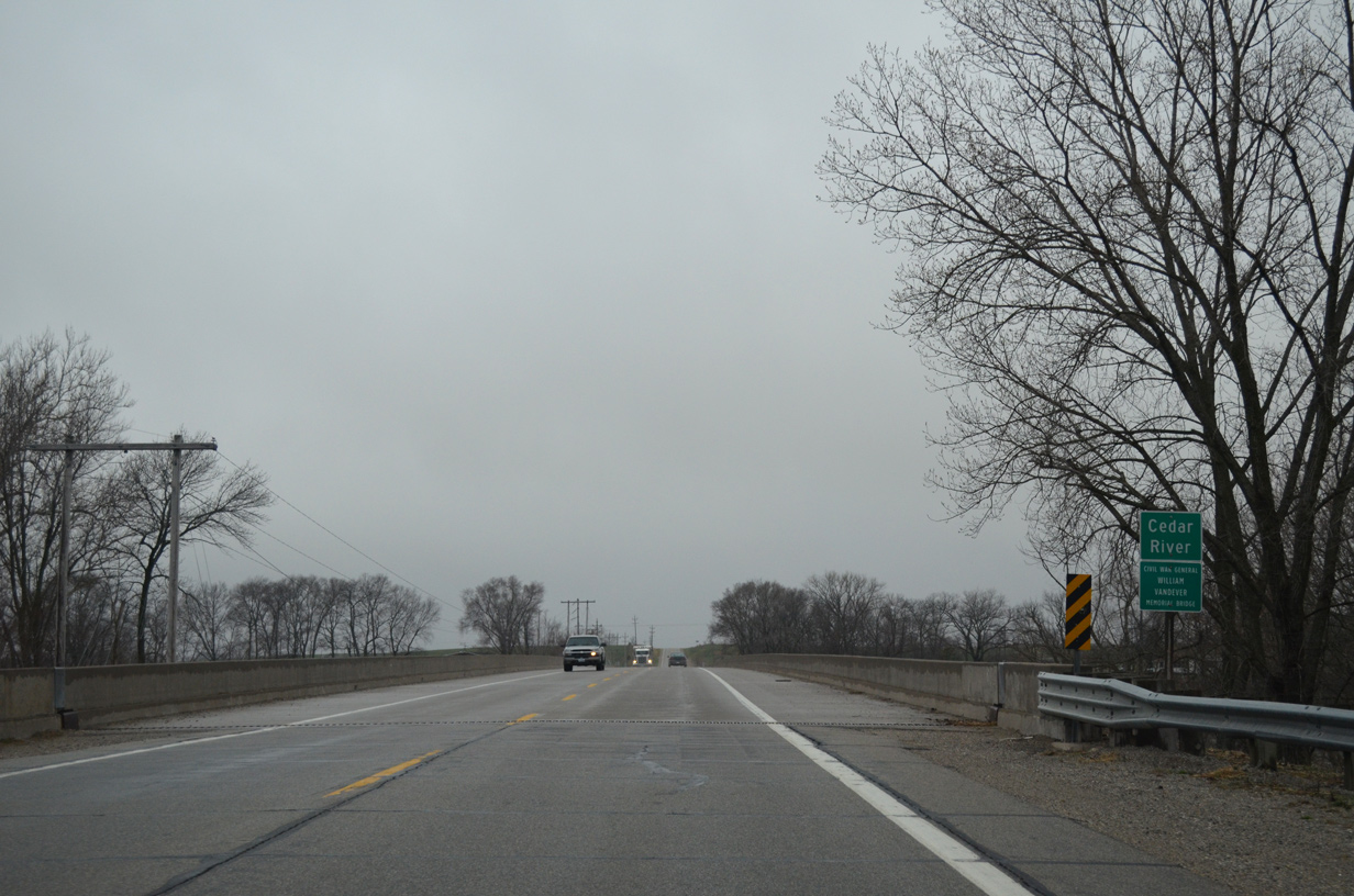
U.S. 6 spans the Cedar River across the Civil War General William Vandever Memorial Bridge.
04/12/13
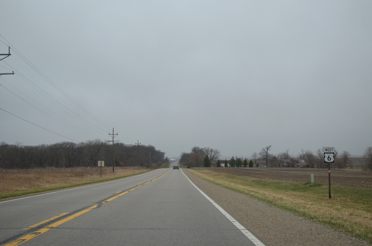
U.S. 6 passes north of Wiese Slough Wildlife Management Area between Mohawk and Lange Avenues.
04/12/13
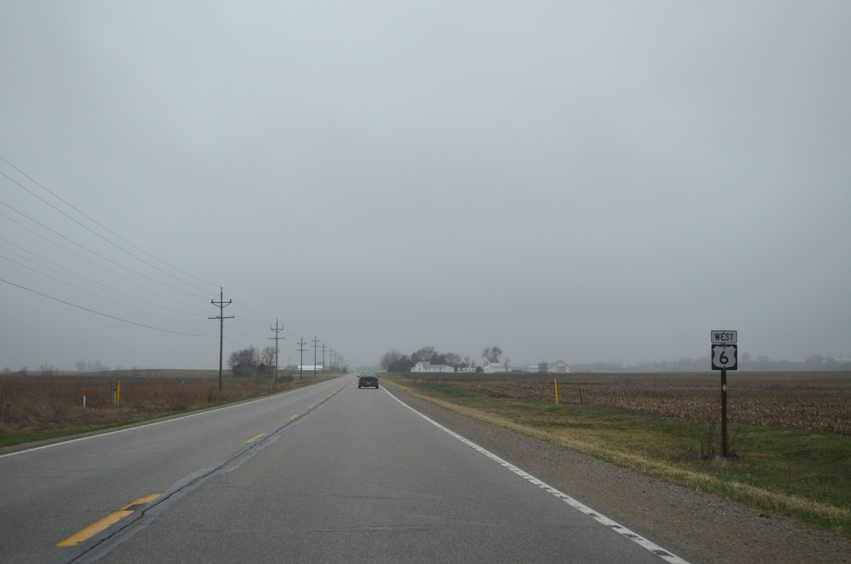
Shielding for U.S. 6 remains consistent across northern Muscatine County. This assembly stands west of Lange Avenue.
04/12/13
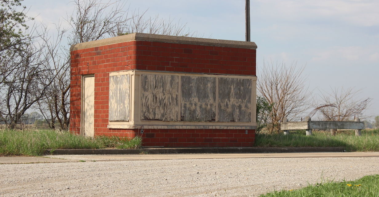
An abandoned weigh station lines the south side of U.S. 6 between Lange Avenue and Penn Avenue Road. This facility was replaced by the stations along Interstate 80 east of Exit 267.
06/05/15
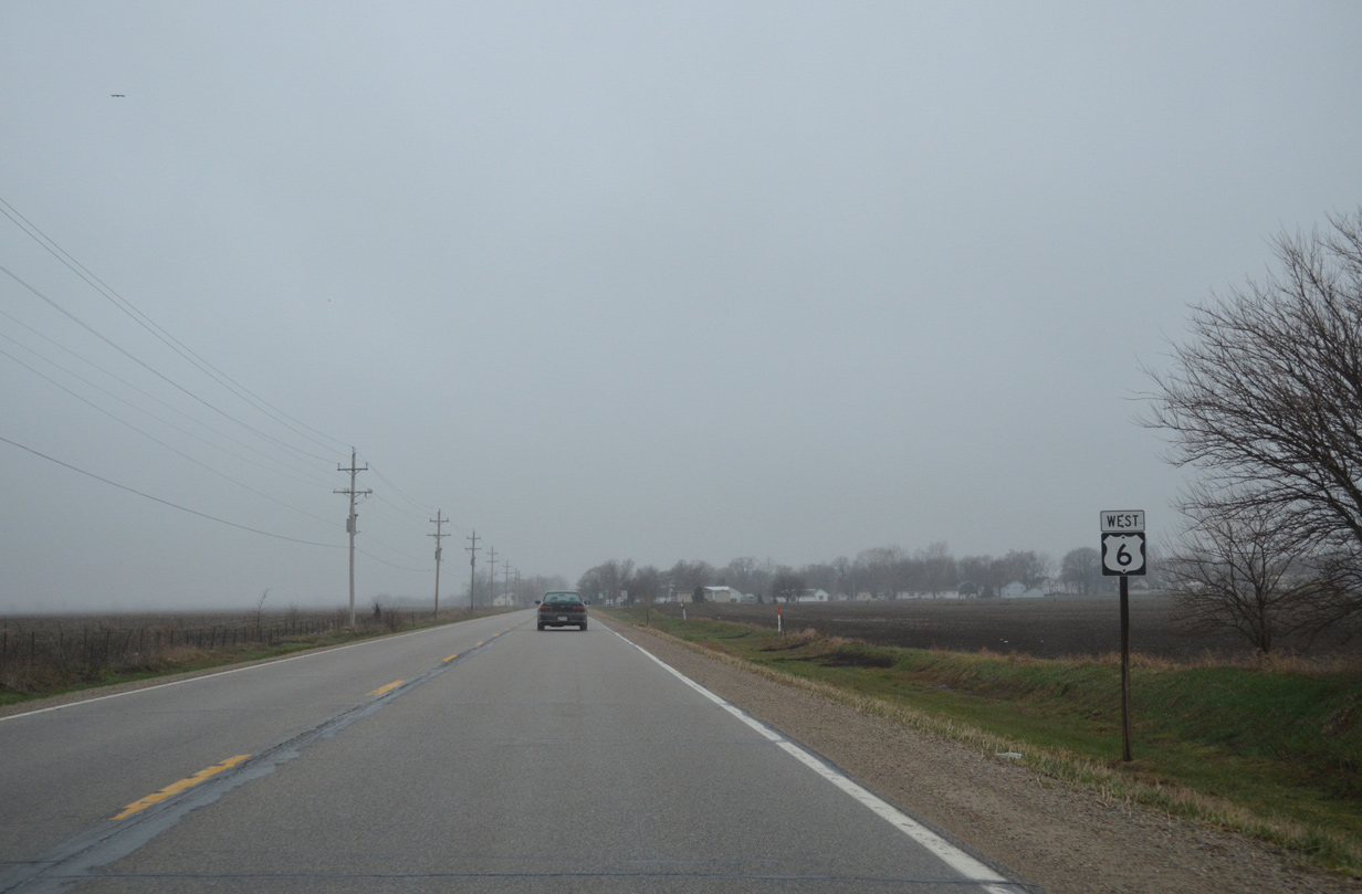
West of Penn Avenue Road on U.S. 6.
04/12/13
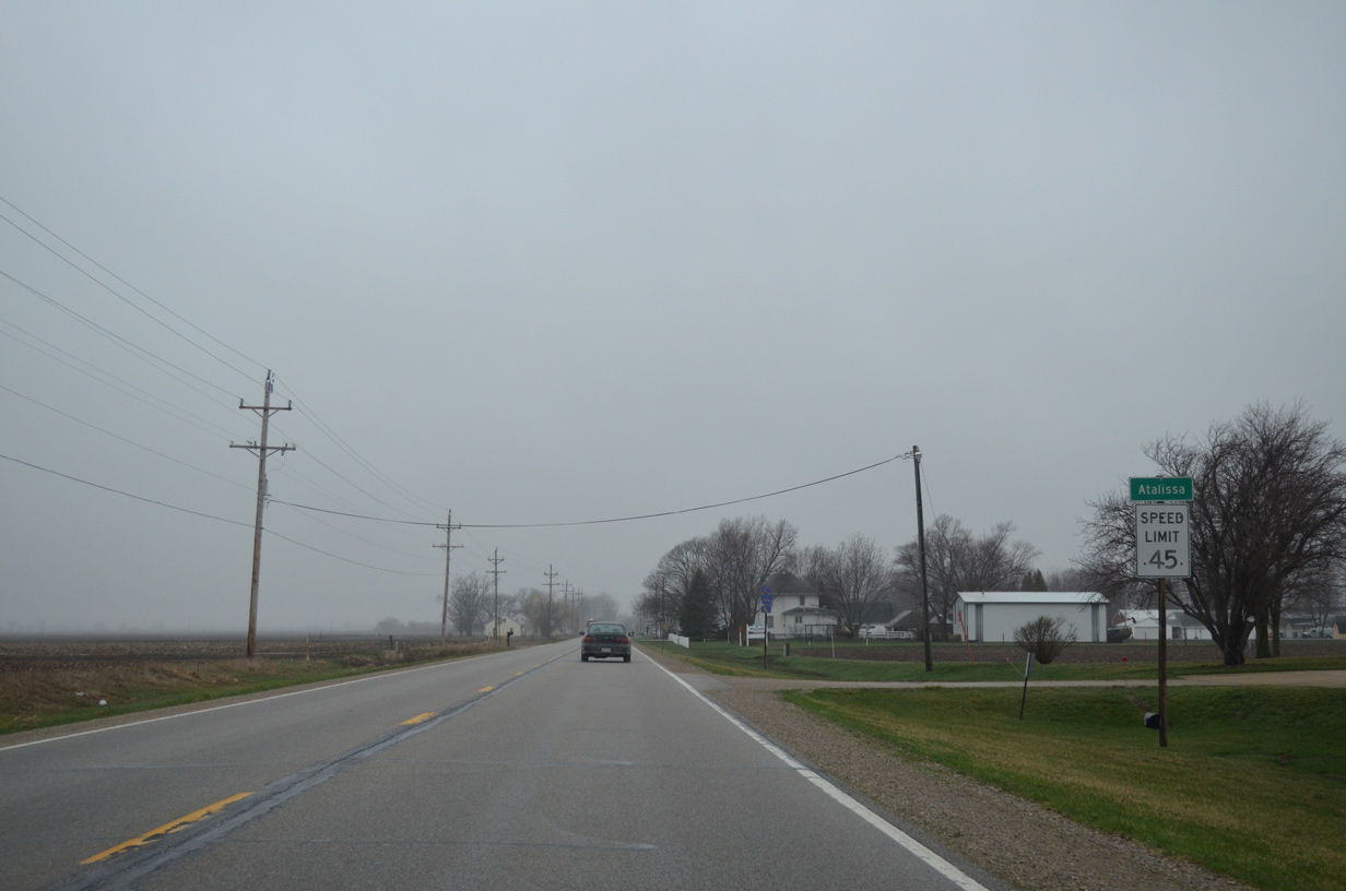
U.S. 6 west runs along the south side of the city of Atalissa for three blocks between Lundy and Oak Streets.
04/12/13
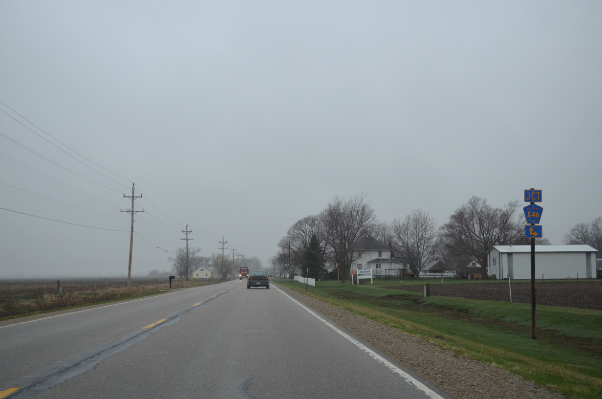
Lundy Street north becomes Atalissa Road beyond the city line. This route doubles as County Road X46 north to Rochester in Cedar County.
04/12/13
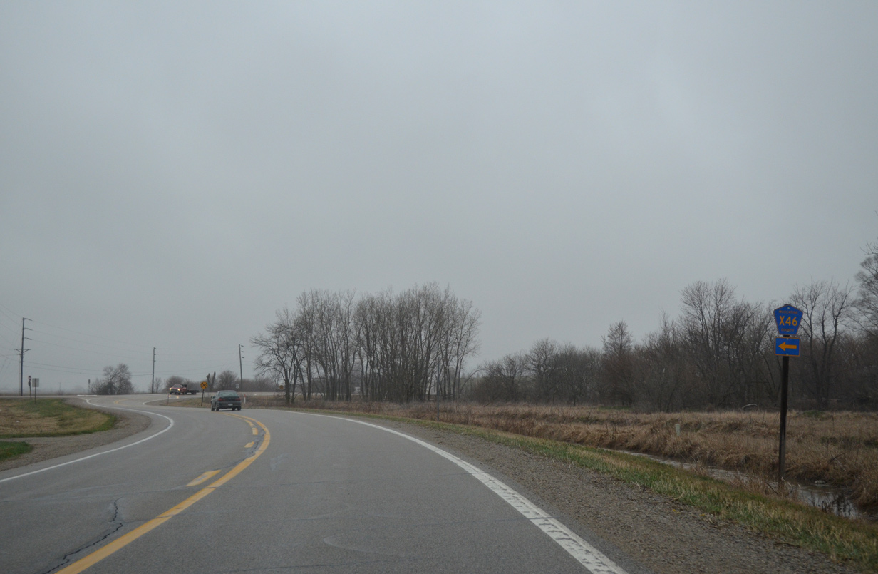
Kelly Avenue south carries County Road X46 away from an implied overlap with U.S. 6 through Atalissa. CR X46 lines 170th Street west from the Cedar River to Iowa 70 near Adams.
04/12/13
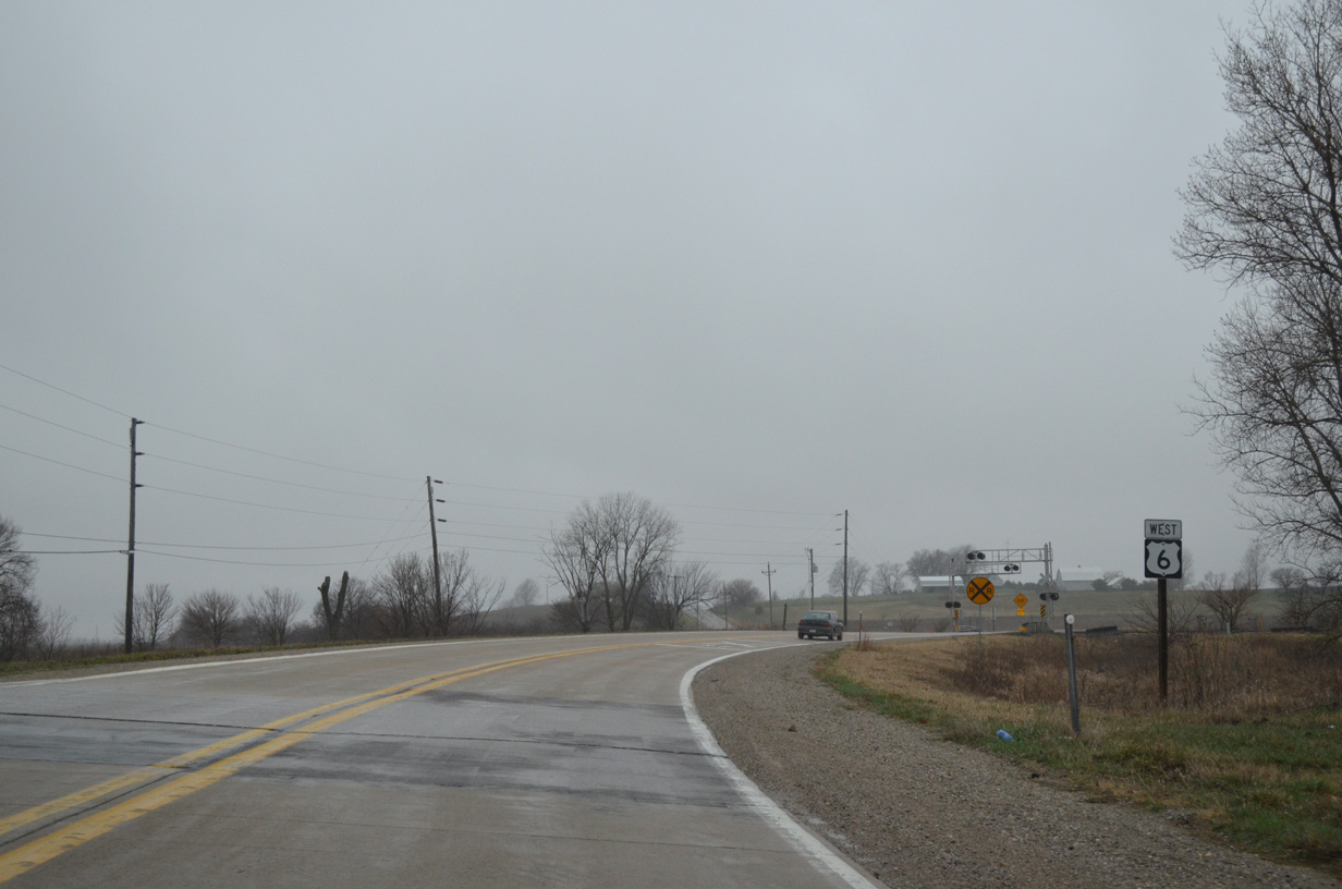
An S-curve takes U.S. 6 across the Iowa Interstate Railroad to the immediate west of CR X46 (Kelly Avenue) south.
04/12/13
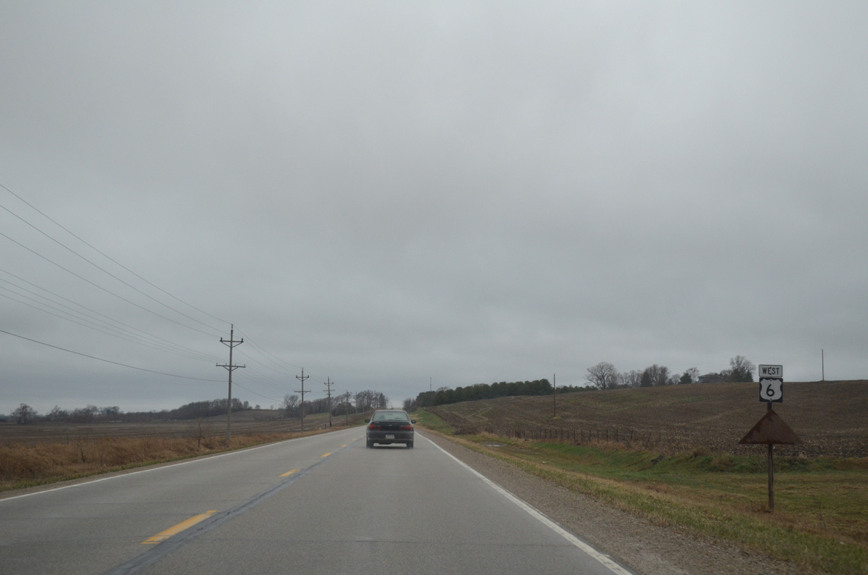
115th Street branches north from U.S. 6 to Maxson Avenue in West Liberty ahead of this shield assembly.
04/12/13

U.S. 6 enters the West Liberty limits ahead of Wapsinonoc Creek.
04/12/13
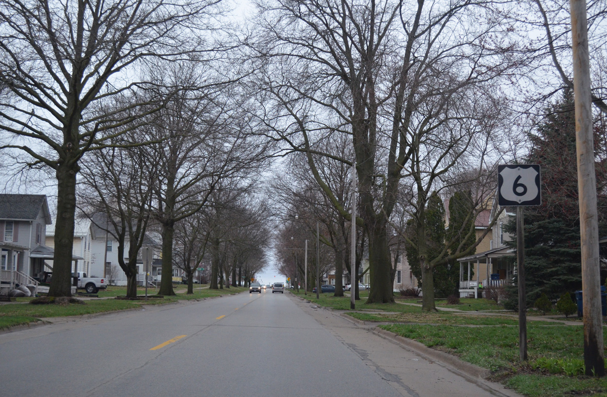
3rd Street carries U.S. 6 west five blocks to the West Liberty city center.
04/12/13
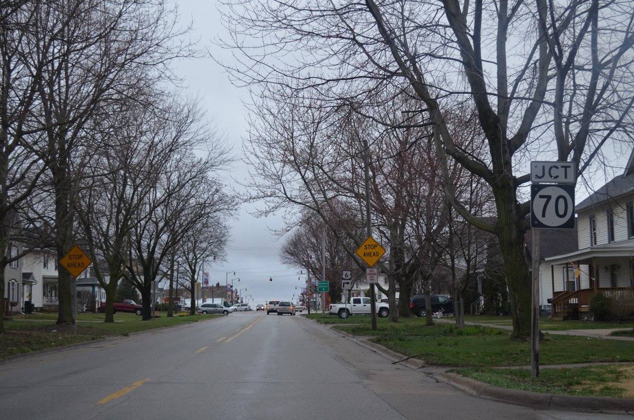
Iowa 70 (Columbus Street) ties into West Liberty and U.S. 6 from Nichols and Conesville in southwestern Muscatine County.
04/12/13
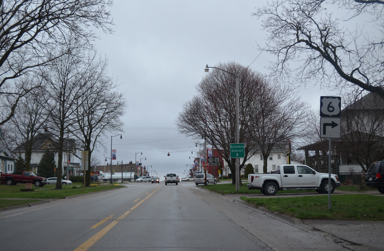
U.S. 6 turns north onto Columbus Street from the ending Iowa 70. 3rd Street west extends through Downtown to Prairie Street.
04/12/13
A rural state highway, Iowa 70 runs south six miles to Iowa 22 at Adams and 24 miles to Iowa 92 at Columbus Junction. It was formally numbered as Iowa 76 until 1969.
04/12/13
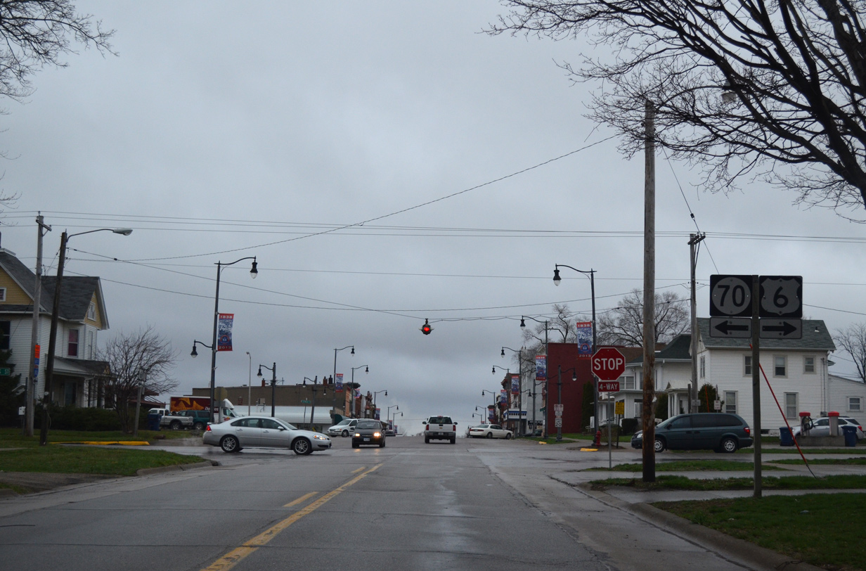
A Crouse Hinds four way stop beacon at the intersection of 3rd and Columbus Streets in West Liberty. The embossed lens displays the command STOP.
04/12/13
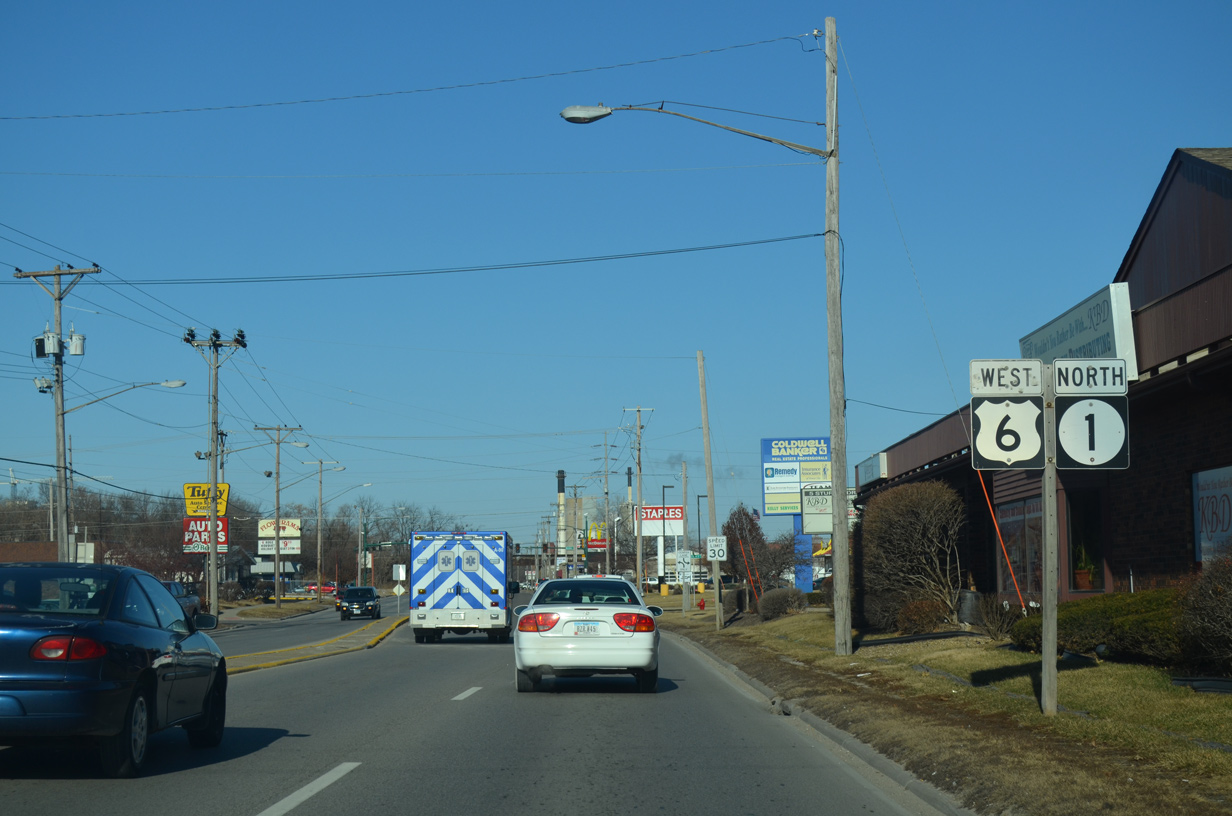
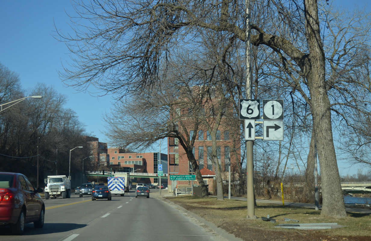
U.S. 6/Iowa 1 combine for 0.7 miles along Riverside Drive north toward both Downtown Iowa City and the University of Iowa campus.
12/31/14
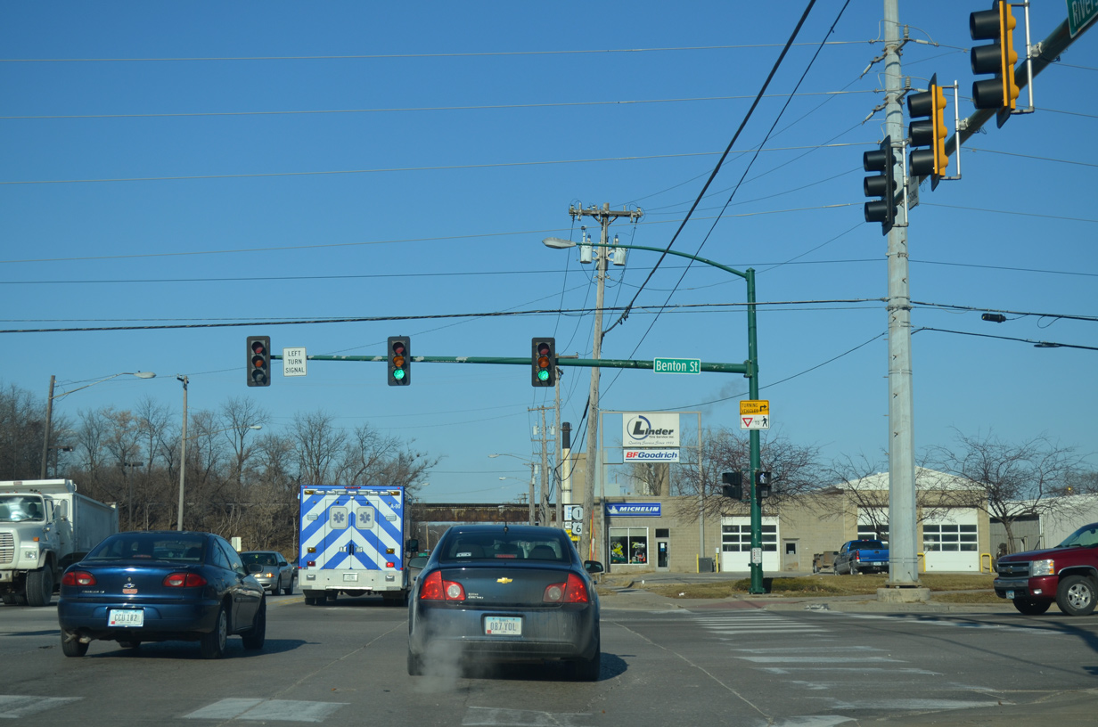
Benton Street spans the adjacent Iowa River to the east while leading west to several apartment complexes and Mormon Trek Boulevard.
12/31/14
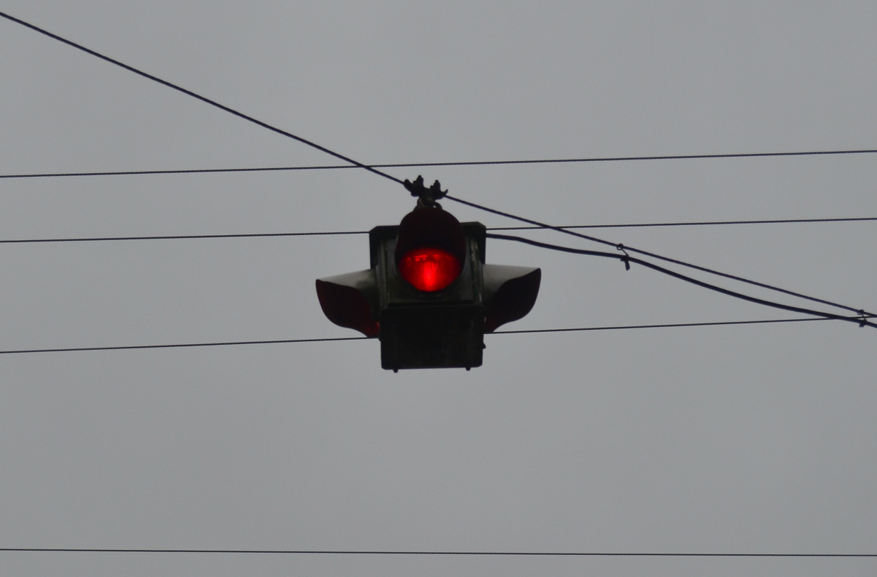
Iowa 1 north separates from U.S. 6 (Riverside Drive) west for Burlington Street east across the Iowa River into Downtown Iowa City.
12/31/14
West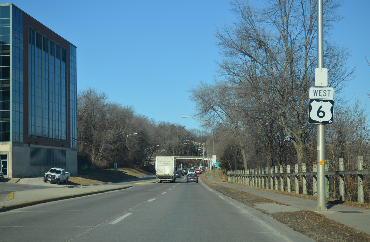
U.S. 6 hugs the west banks of the Iowa River between Iowa 1 (Burlington Street) and the University of Iowa campus.
12/31/14
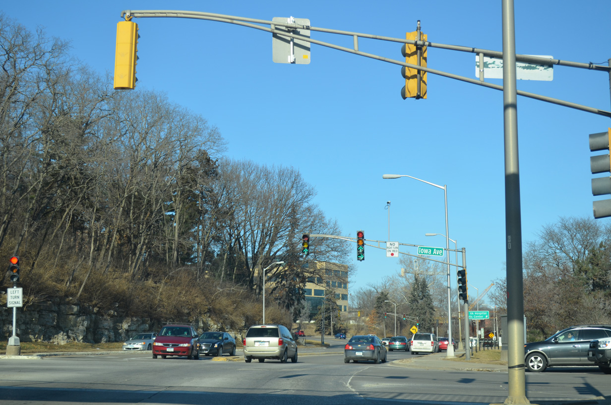
Newton Road east and Iowa Avenue west come together at the next traffic light along U.S. 6 (Riverside Drive) north. Iowa Avenue crosses the Iowa River to Madison Street at the Old Capitol building.
12/31/14
U.S. 6 splits with Riverside Drive north for 2nd Street west. Riverside Drive runs north to the Capital View neighborhood and northern reaches of the UI campus.
12/31/14
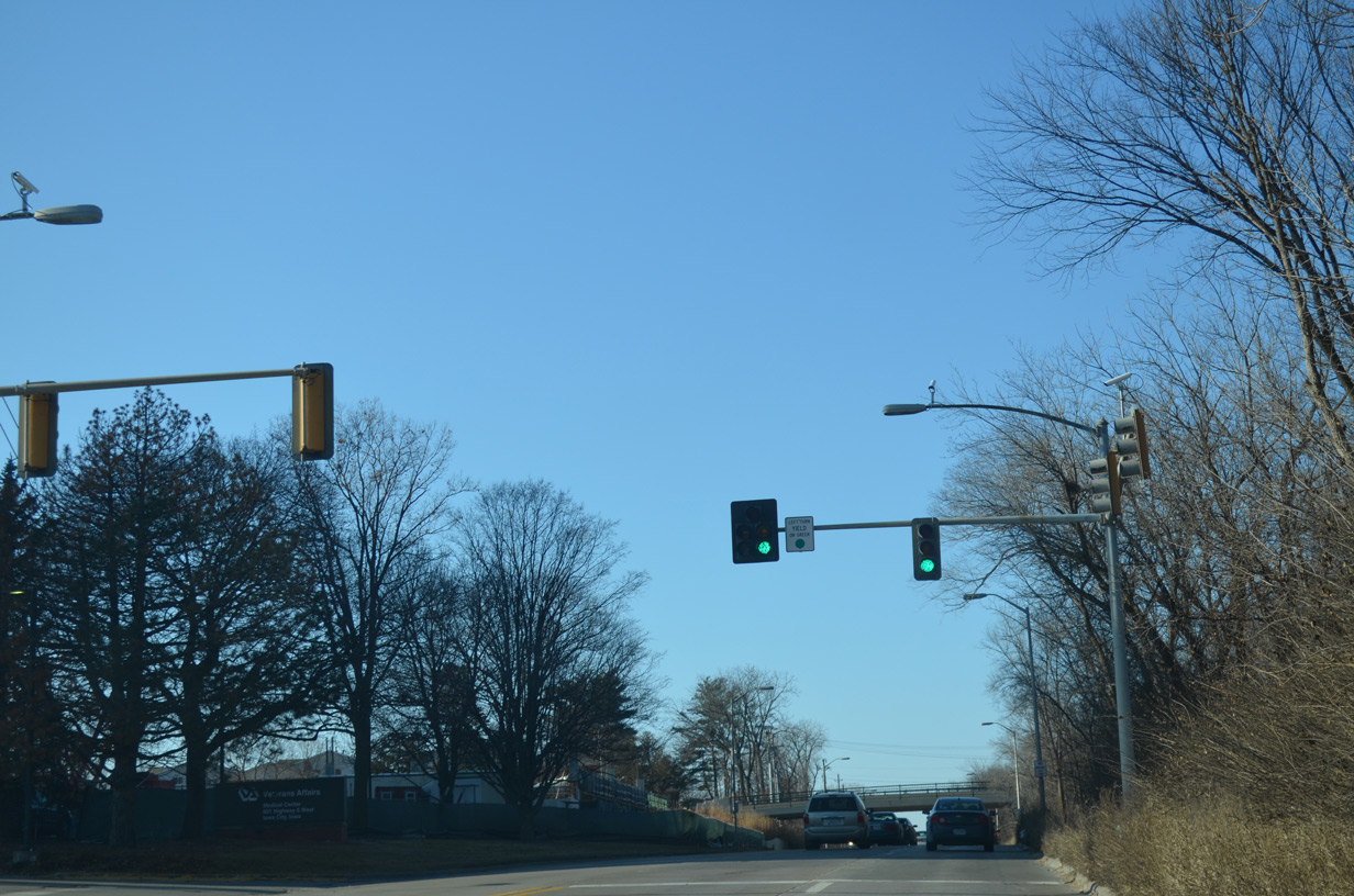
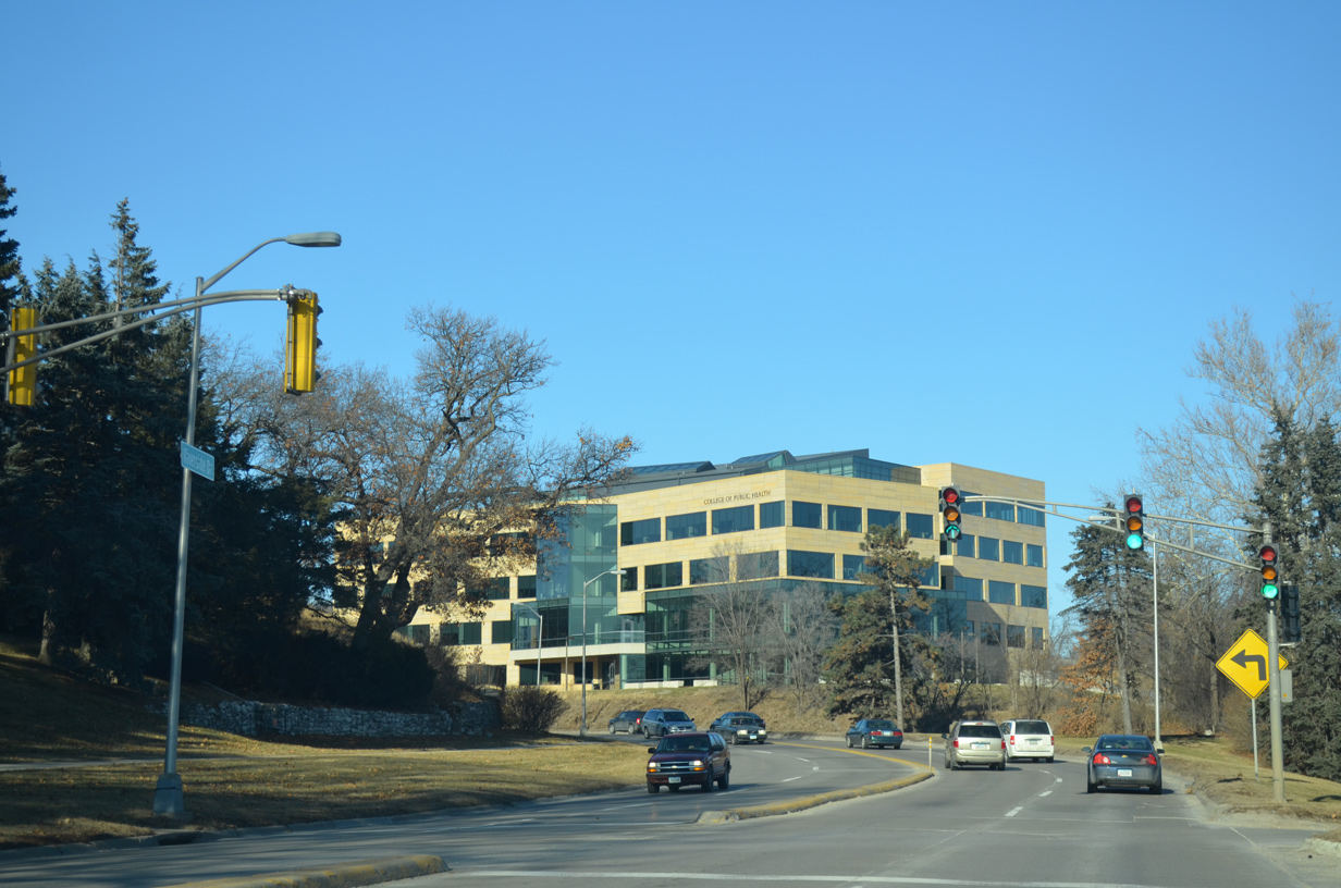
Heading west, U.S. 6 climbs from the Iowa River valley to a signalized intersection with the Iowa City Veterans Hospital. An overpass carries Wooff Avenue across the boulevard ahead.
12/31/14
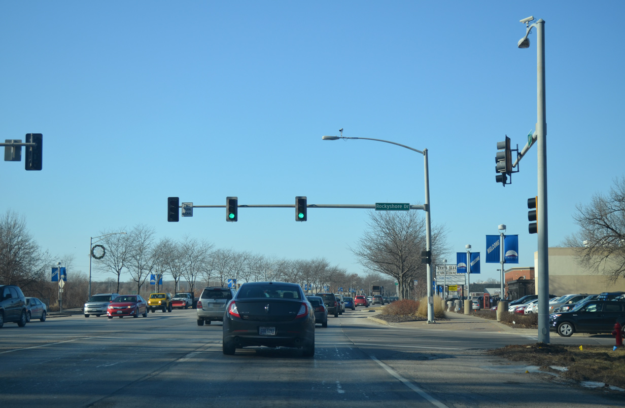
U.S. 6 west expands into a commercial arterial (Coralville Strip) ahead of Rockyshore Drive, Rockyshore Drive ties into 2nd Street opposite Hawkins Drive to Carver Hawkeye Arena.
12/31/14
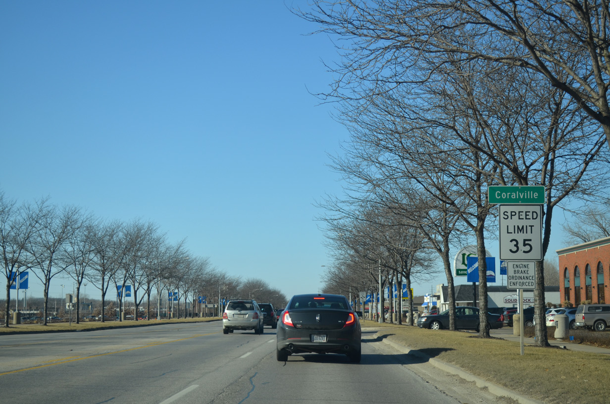
U.S. 6 (2nd Street) west crosses into Coralville just beyond Rockyshore Drive.
12/31/14
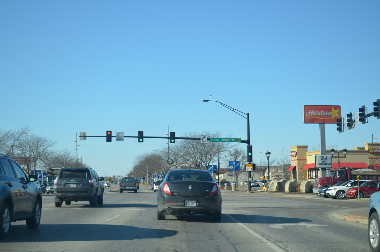
A myriad of businesses line U.S. 6 through Coralville. 1st Avenue also comprises a commercial arterial north from the University of Iowa campus to Exit 242 of Interstate 80.
12/31/14
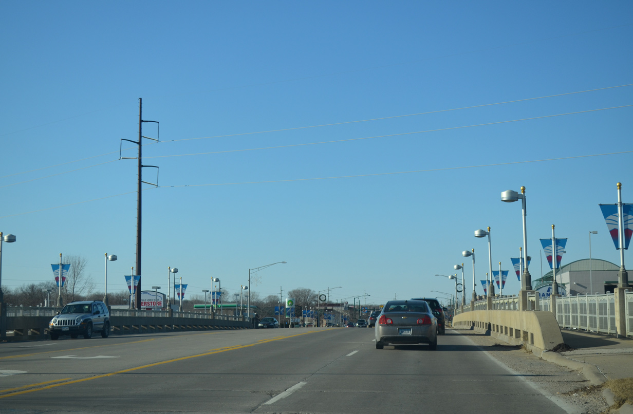
Crossing Coral Creek along U.S. 6 (2nd Street) west.
12/31/14
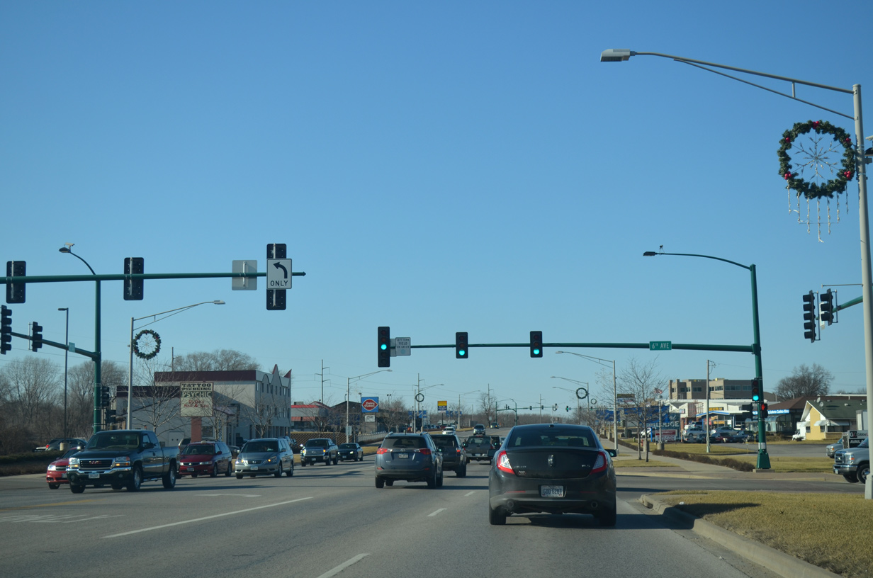
Westbound U.S. 6 (2nd Street) at 6th Avenue north.
12/31/14
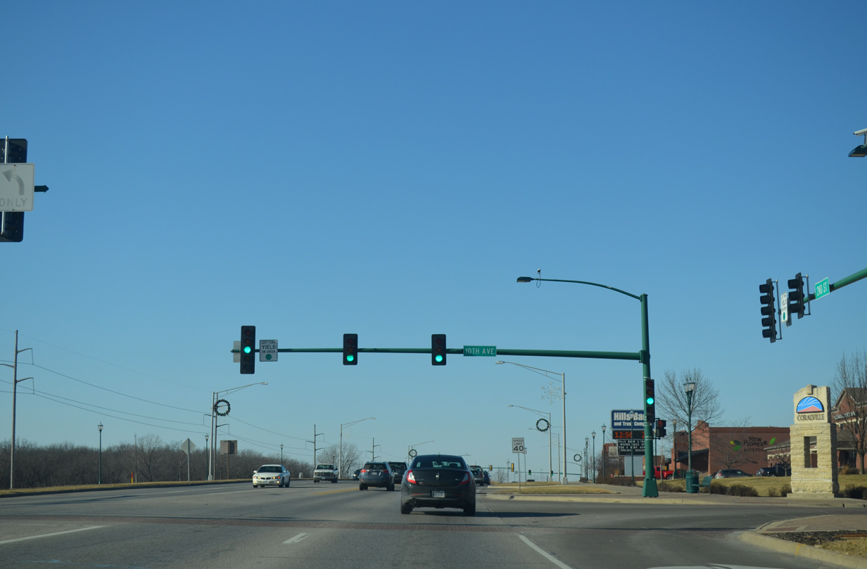
10th Avenue leads north from U.S. 6 to the Coralview Heights neighborhood.
12/31/14
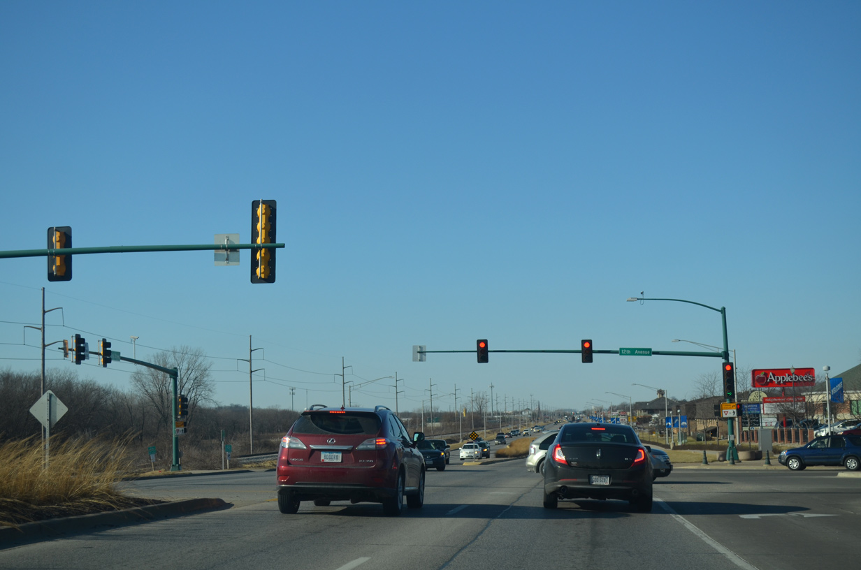
12th Avenue follows from U.S. 6 as multi-lane boulevard north to additional businesses and Coralview Heights.
12/31/14
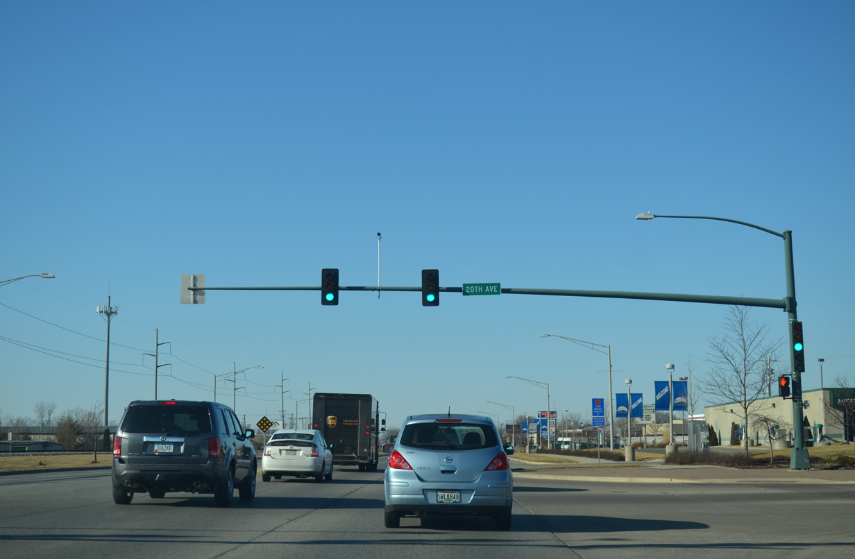
20th Avenue arcs north to become 8th Street on the back side of big box retail fronting U.S. 6 on the Coralville Strip.
12/31/14
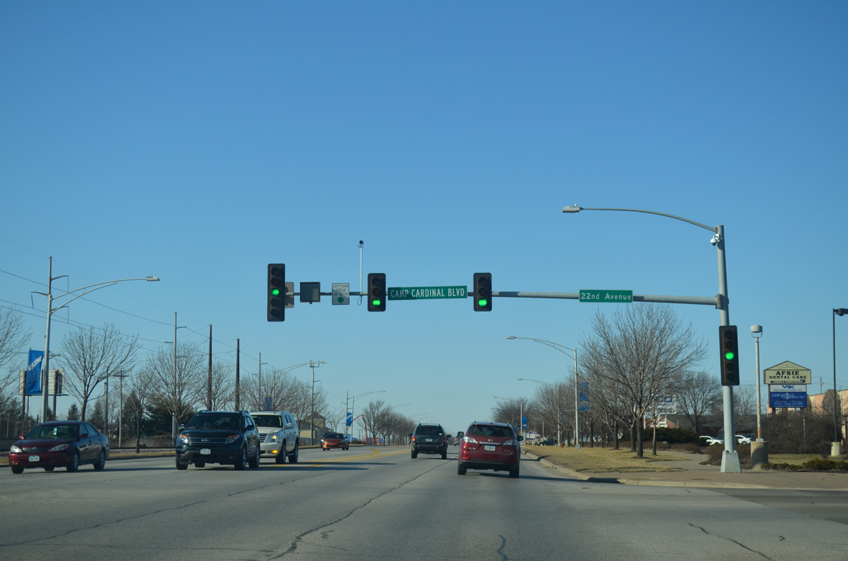
22nd Avenue south becomes Camp Cardinal Boulevard at U.S. 6 (2nd Street) en route to Melrose Avenue near University Heights.
12/31/14
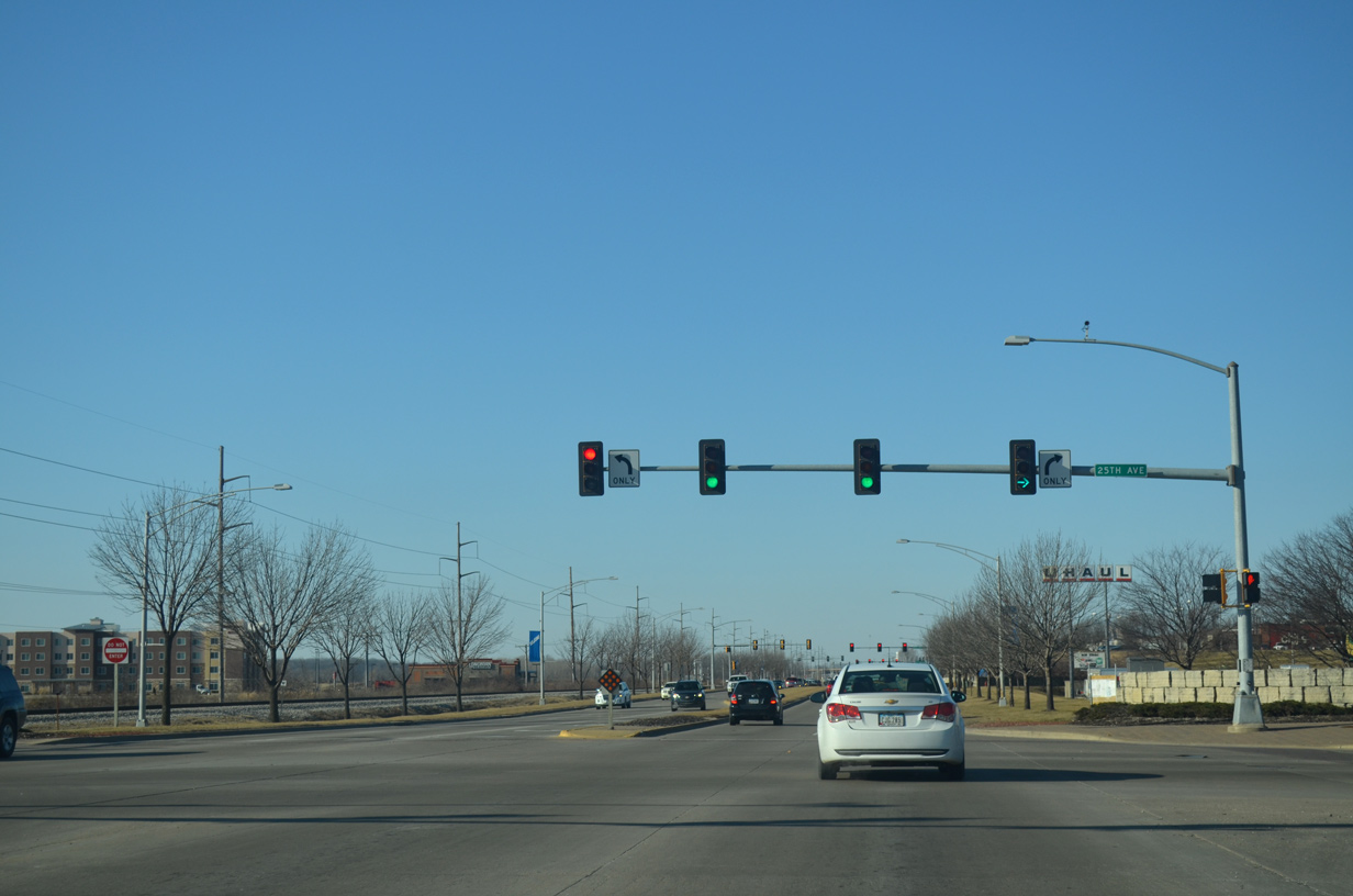
25th Avenue links U.S. 6 (2nd Street) with parallel James Street to the south and 10th Street and the Heritage Estates neighborhood to the north.
12/31/14
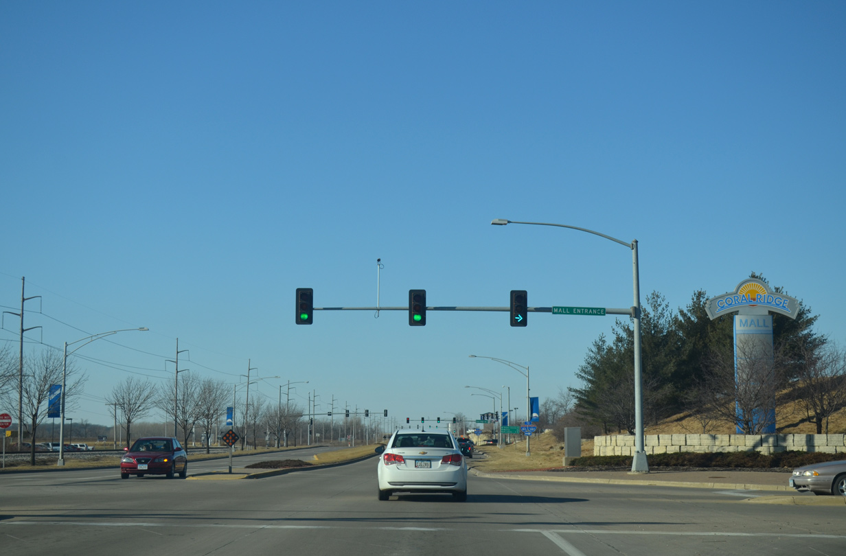
Next on U.S. 6 west is the entrance to Coral Ridge Mall. The mall spreads to the east of Coral Ridge Avenue between 2nd Street and Interstate 80.
12/31/14
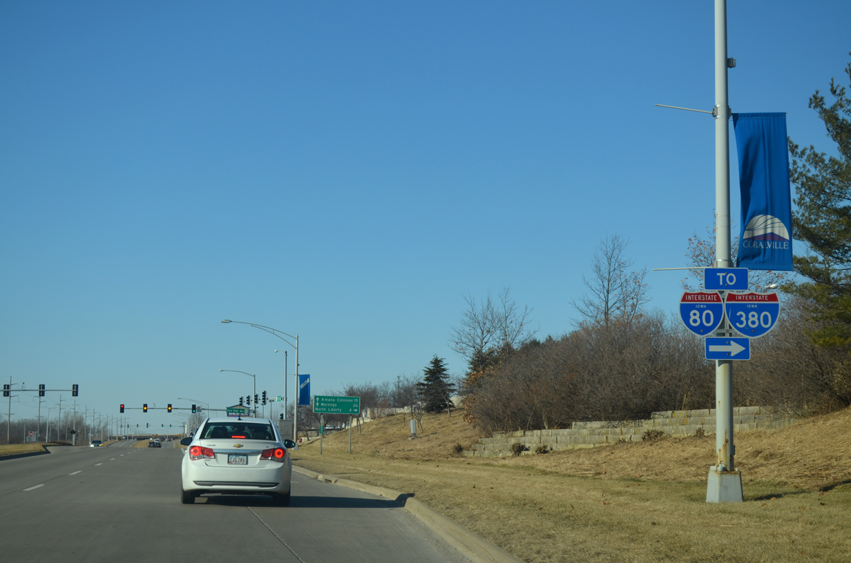
Coral Ridge Avenue comprises a second commercial arterial for Coralville between James Street and the University of Iowa Oakdale Research Campus. A six-ramp parclo interchange links U.S. 6 with Interstate 80 just beyond Coral Ridge Mall.
12/31/14
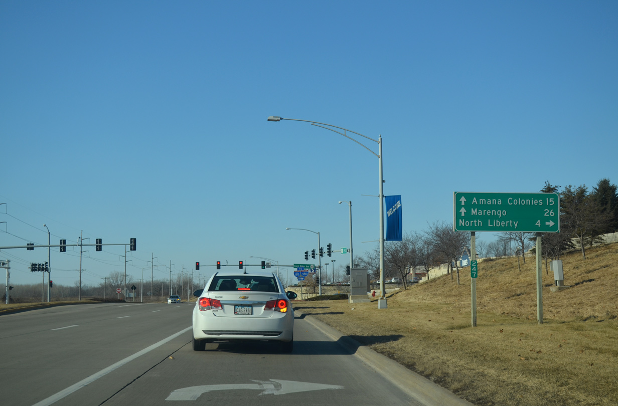
Coral Ridge Avenue is the historic route of U.S. 218 leading north to North Liberty. U.S. 6 west remains parallel to the Iowa Interstate Railroad to Amana Colonies and Marengo in Iowa County.
12/31/14
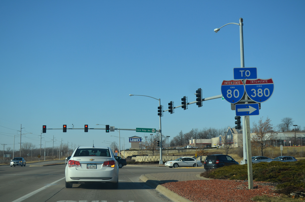
Interstate 80 runs between Iowa City and Coralville between Interstate 380 and Iowa 1. The two interstates come together at U.S. 218 and Iowa 27 just to the west.
12/31/14
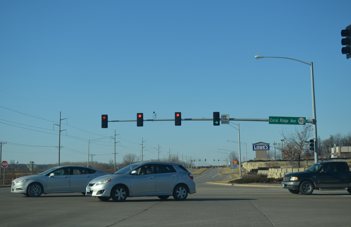
The southern half mile of Coral Ridge Avenue is state maintained as Iowa 965. The state highway was designated on June 26, 1985 when U.S. 218 shifted west to I-380. The route ran north to U.S. 30, but was truncated in stages southward to I-80 to 2004.
12/31/14
References:
- U.S. 6 - The Grand Army of the Republic Highway, FHWA web site.
Photo Credits:
- AARoads: 04/12/13
- Bill Gatchel: 06/05/15
- Alex Nitzman, Bill Gatchel, Scott Onson: 12/31/14
Connect with:
Page Updated Tuesday August 11, 2015.