
U.S. 7
Traveling 176.33 miles through western Vermont, U.S. 7 joins Bennington with Rutland, Burlington, St. Albans and Swanton. The US highway winds northward with two overall lanes into Townal, Vermont from Williamstown, Massachusetts en route to Downtown Bennington. The route upgrades to a mostly two-lane expressway leading north along the Green Mountains to Glastenbury, Sunderland, Manchester and East Dorset.
Returning to at-grade, U.S. 7 runs north through a valley to Danby and Wallingford with two lanes, and with four lanes to Clarendon and the south side of Rutland. U.S. 4 ties into U.S. 7 from the east end of a freeway leading west to Fair Haven for a 2.2 mile overlap into Rutland. U.S. 4 branches east to Sherburne and White River Junction while U.S. 7 meanders northward through a mixture of farmland to Pittsford, Brandon and Middlebury.
Vermont Route 22A ties into U.S. 7 on the north side of Vergennes, adding traffic originating from the Crown Point Bridge and Upstate New York. The route increases in traffic as it leads north to Shelburne and the south suburbs of the Burlington area as a commercial arterial. Once in Burlington, U.S. 7 navigates through the city street grid, combining with U.S. 2 north from Main Street to Downtown Winooski.
U.S. 2/7 overlap for 9.56 miles from Burlington north to Colchester parallel to Interstate 89. U.S. 2 turns west to the Lake Champlain Islands ahead of the Milton town line, which U.S. 7 crosses en route to Georgia, St. Albans, Swanton and Highgate. The north end of U.S. 7 ties into I-89 across from the port of entry to Canada.
The National Interregional Highway Committee report Interregional Highways recommended a 33,900 mile interregional system in 1944. Vermont designated U.S. 7 as its first choice for an interregional highway, but Massachusetts denied the connection, selecting the route of U.S. 5 instead. The Highway Board approved the present system of Interstate Highways in 1946.1
 North
North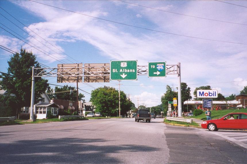
U.S. 7 (S Main Street) at the St. Albans State Highway, a two-lane controlled access road linking Main Street with Interstate 89, 1.05 miles to the east.
07/22/00
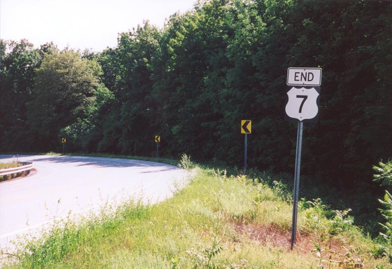
The north end of U.S. 7 ties into a folded diamond interchange with Interstate 89 adjacent to the Canadian border. An end shield precedes Welcome Center Road and the entrance ramp for I-89 southbound.
07/22/00
South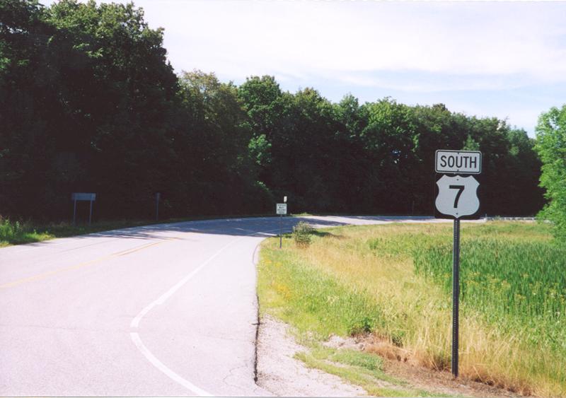
The first confirming marker for U.S. 7 south stands within the exchange (Milepoint Exit 129) joining Interstate 89 with U.S. 7 at Country Club Road and Welcome Center Road.
07/22/00
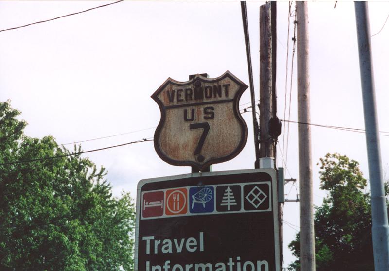
This vintage 18 inch cutout for U.S. 7 was formerly posted along Main Street south near Upper Gilman Street in St. Albans,
07/22/00

A previous sign replacement made by 1998 along U.S. 7 (Shelbourne Road) south at Interstate 189.
07/22/00

Replaced overheads on U.S. 7 south at Interstate 189 east to I-89 at South Burlington.
July 1995
References:
- "Outline History of Vermont State Highways." Vermont Department of Highways, National Highway Week, September 19-25, 1965.
Photo Credits:
- AARoads: July 1995, 07/22/00
Connect with:


Page Updated Monday March 04, 2002.