
U.S. 10 West - Amherst to Stevens Point
 West
West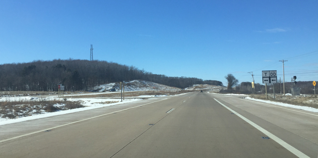
County T forms an L-shaped route north by Thorn Lake and west toward Amherst. The trunk highway south briefly coincides with CTH-DD before the two split on separate paths to CTH-D.
03/02/16
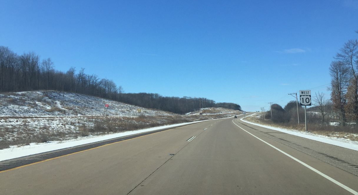
U.S. 10 reassurance marker posted as the expressway runs through forestland and hills parallel to a CN Railroad line.
03/02/16
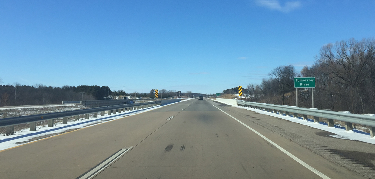
U.S. 10 west crosses the Waupaca / Tomorrow River as it flows south from Amherst to the Crystal River in Waupaca.
03/02/16
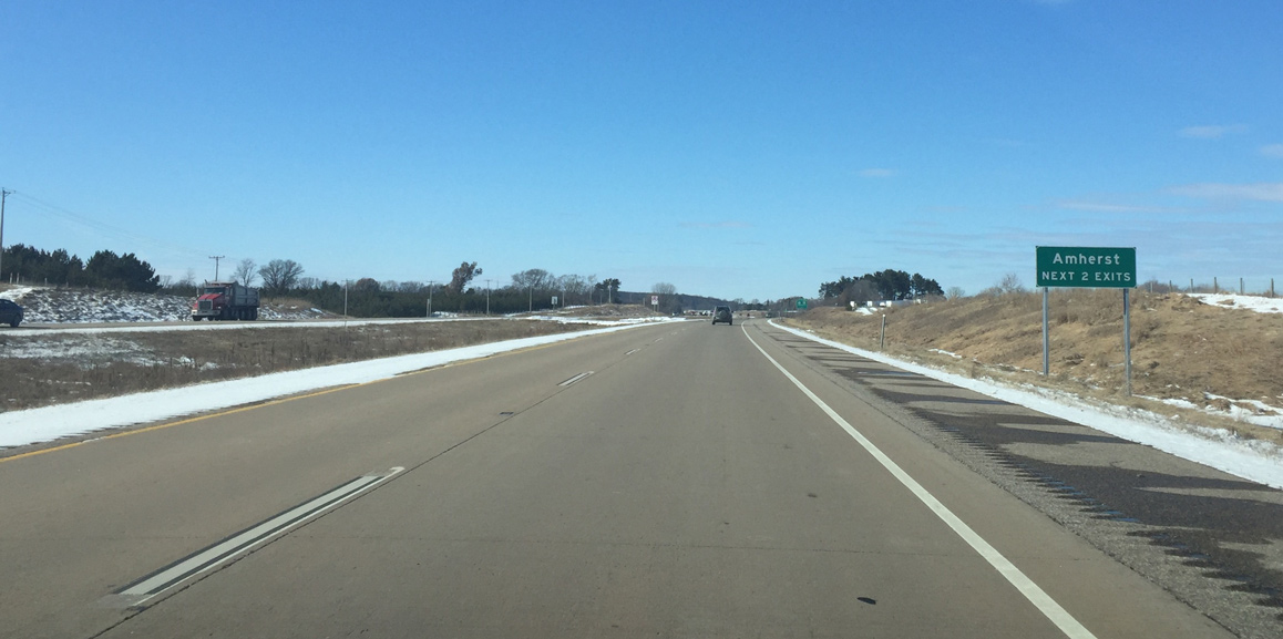
Two interchanges serve the village of Amherst as U.S. 10 upgrades back into a freeway.
03/02/16
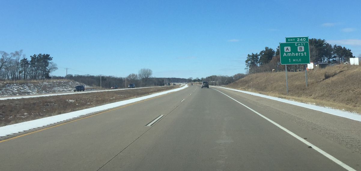
A diamond interchange (Exit 240) connects U.S. 10 with the south side of Amherst via CTH-A/B in one mile. County A and B follow a new bypass around the east side of Amherst. They previously went through the village center via Main and Mill Streets.
It is rare for county trunk highways to have bypasses built for them.
03/02/16
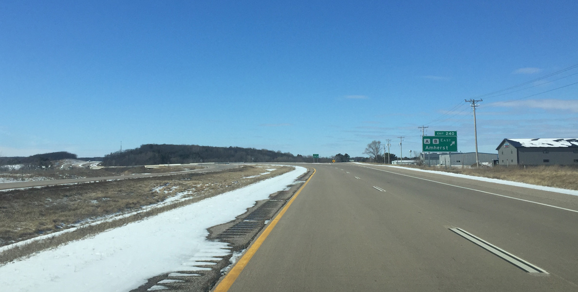
Exit 240 parts ways with U.S. 10 west. Old U.S. 10 (CTH-KK) travels by Amherst and can be accessed just north of U.S. 10 via CTH-A/B. County A continues south otherwise toward Wis 54 and Blaine while County B shares an implied overlap with U.S. 10 west.
03/02/16
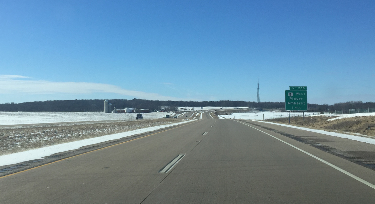
County B branches west from U.S. 10 from the diamond interchange (Exit 238) with Western Way. It can be argued that it is a better route than Wis 54 between Waupaca and Plover, since the U.S. 10 expressway can be used for faster travel.
03/02/16
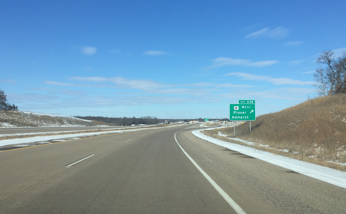
Heading west from Exit 238, County B travels 16 miles to U.S. 51 Business and Wis 54 at the Plover city center.
03/02/16
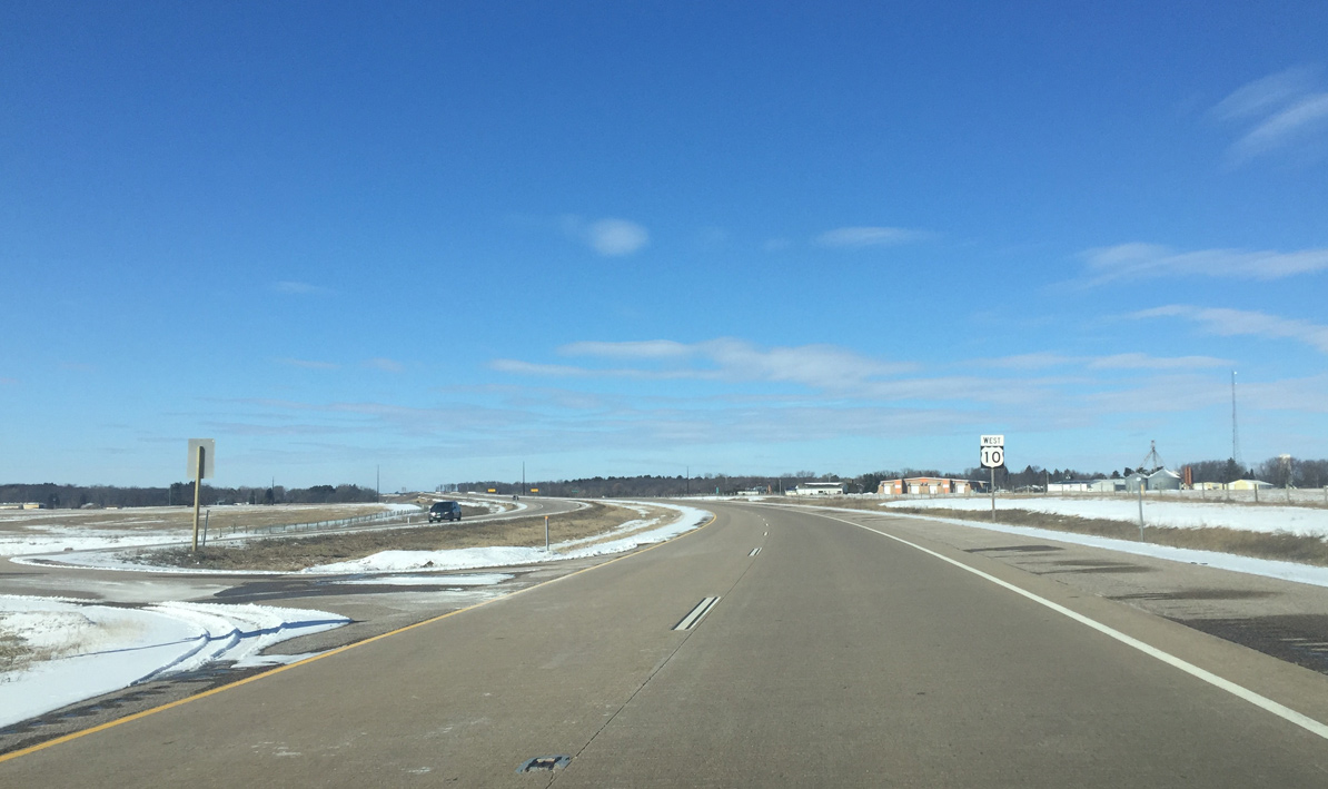
U.S. 10 next skirts past Amherst Junction, a rural village northwest of Amherst.
03/02/16
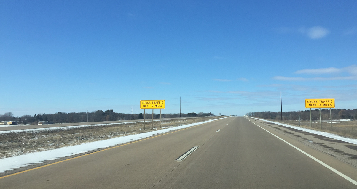
Cross traffic signs indicating the switch back to expressway standards. U.S. 10 however remains limited access to the half diamond interchange with Lake Drive.
03/02/16
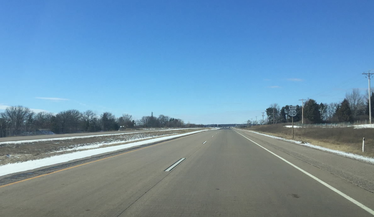
Confirming marker for U.S. 10 west posted after the on-ramp from Lake Drive and County KK (old U.S. 10 through Amherst Junction).
03/02/16

Portage County K ventures 10.1 miles south from U.S. 10 along a rural course to Wis 54 in the town of Buena Vista.
03/02/16
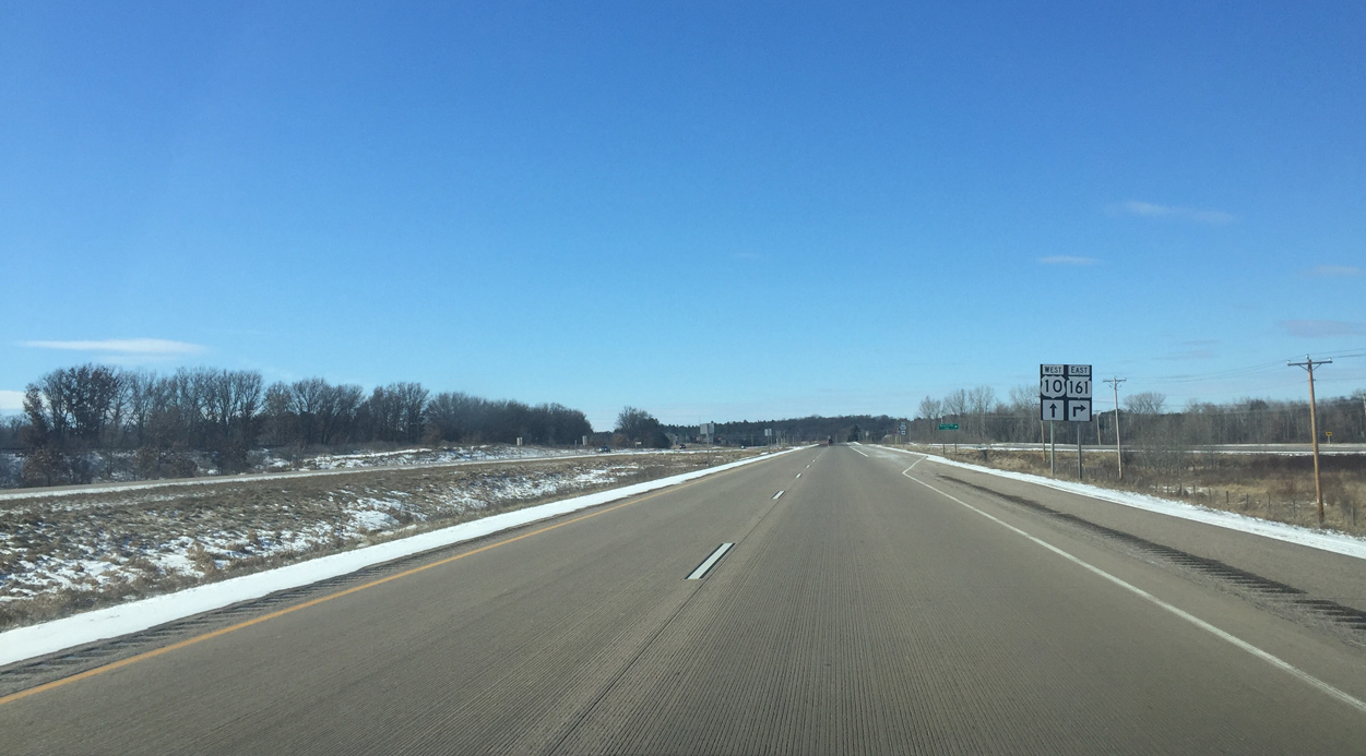
Approaching the eastbound beginning of Wis 161 along U.S. 10 west.
03/02/16
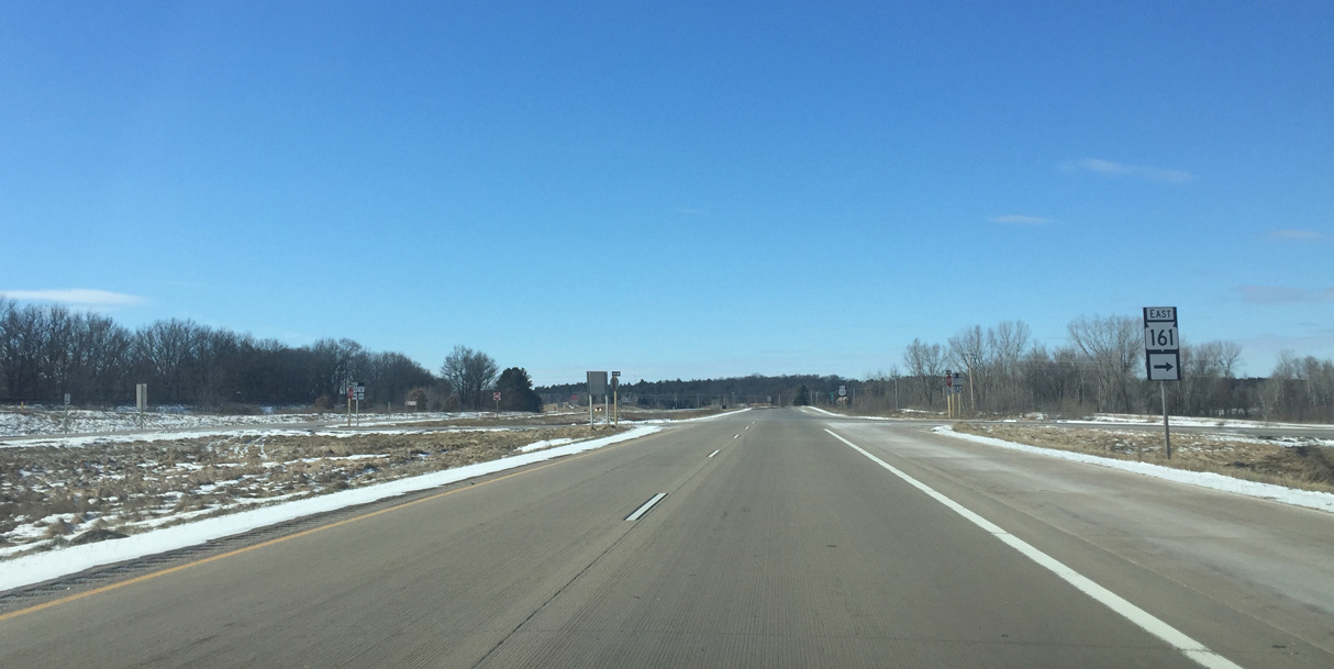
Wis 161 runs 22.4 miles east towards Nelsonville, Iola and Wis 22 & 110 at Symco.
03/02/16
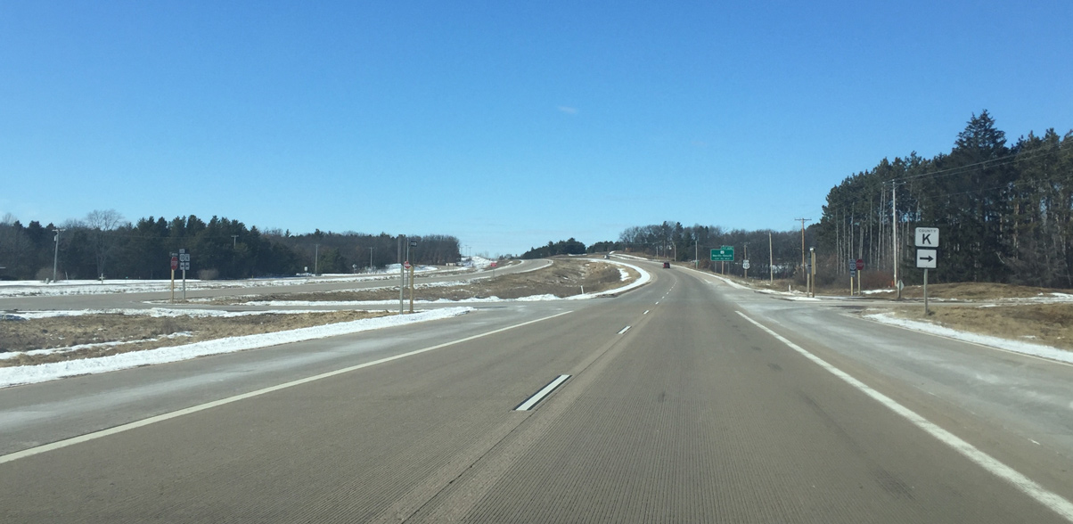
The north branch of County K joins U.S. 10 at Custer with Polonia and Wis 66 east of Ellis.
03/02/16
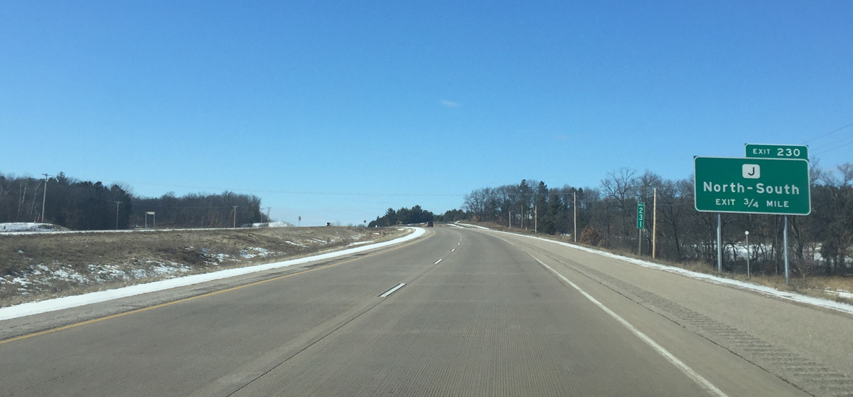
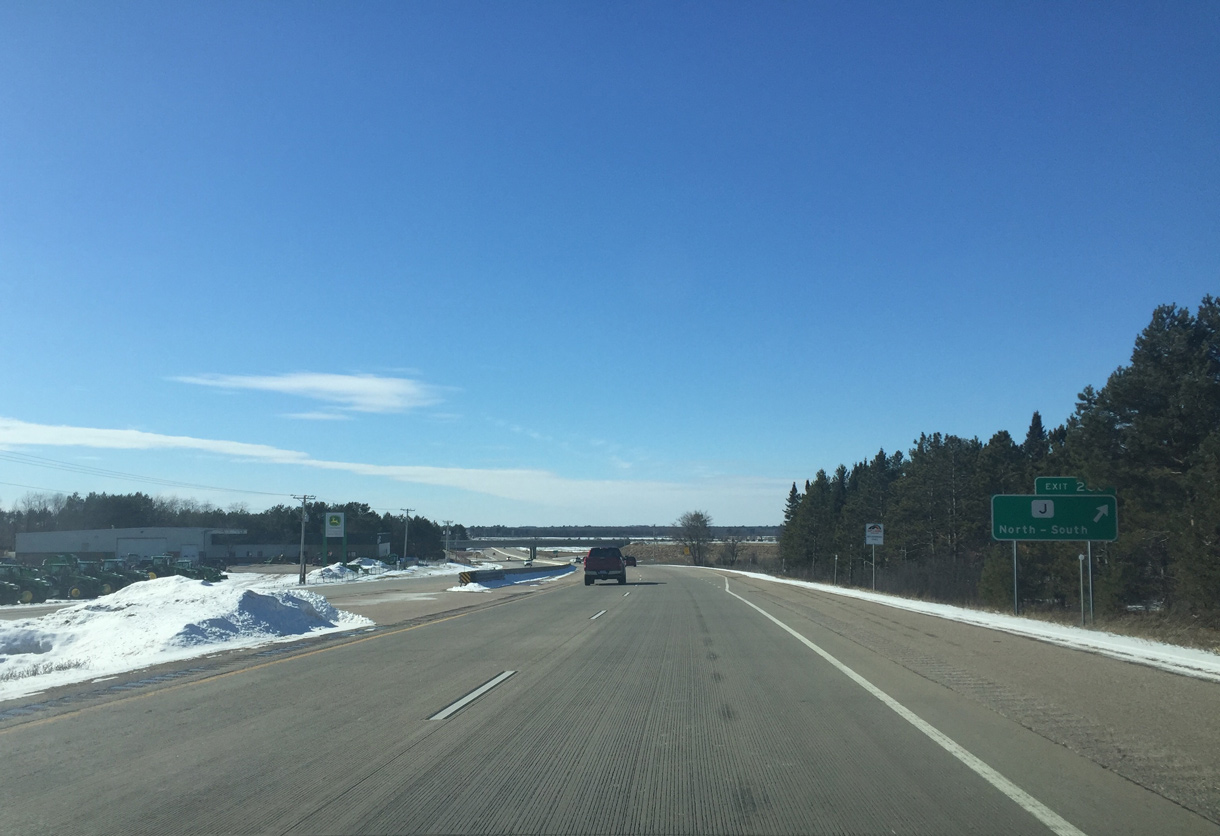
Next in line for westbound travelers is the folded diamond interchange (Exit 230) with County J. The North South directions indicate no control city.
03/02/16
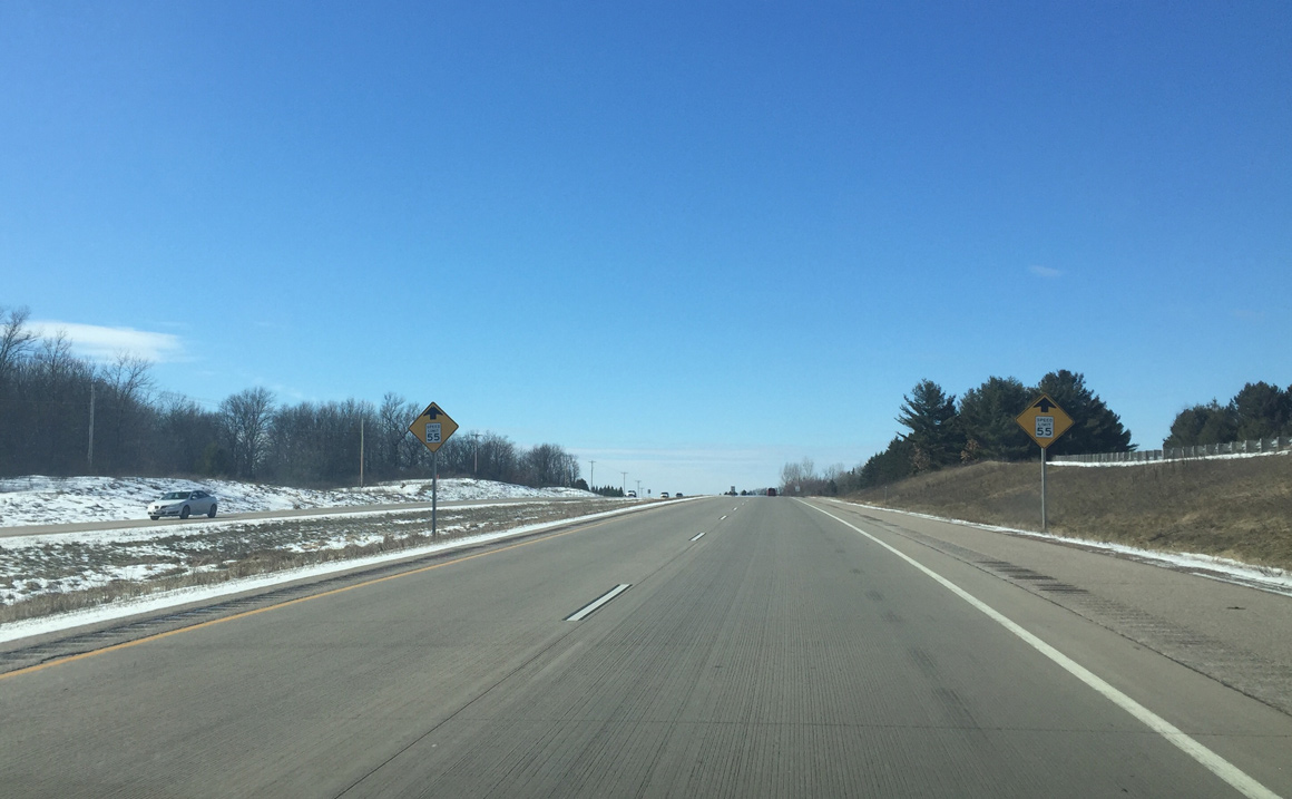
Access control ends beyond Exit 230 as private driveways into U.S. 10. The arterial sees a reduction in speed limits to 55 MPH.
03/02/16
Portage County J totals 12.8 miles between Wis 54 and Wis 66 at Ellis. The county trunk highway serves agricultural areas and the settlement of Arnott.
03/02/16
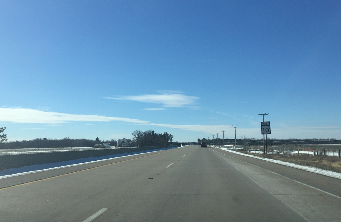
A concrete barrier replaces the grassy median as U.S. 10 downgrades into a five lane arterial.
03/02/16
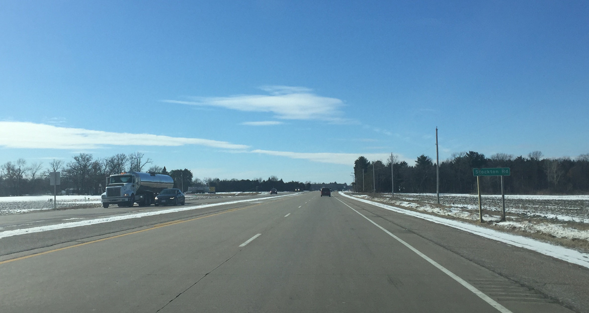
Stockton Road stems south from U.S. 10 to the unincorporated community of Stockton.
03/02/16
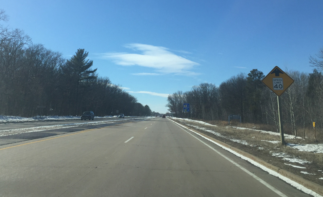
Speed limits reduce further to 40 MPH as U.S. 10 approaches commercial development on the east side of Stevens Point.
03/02/16
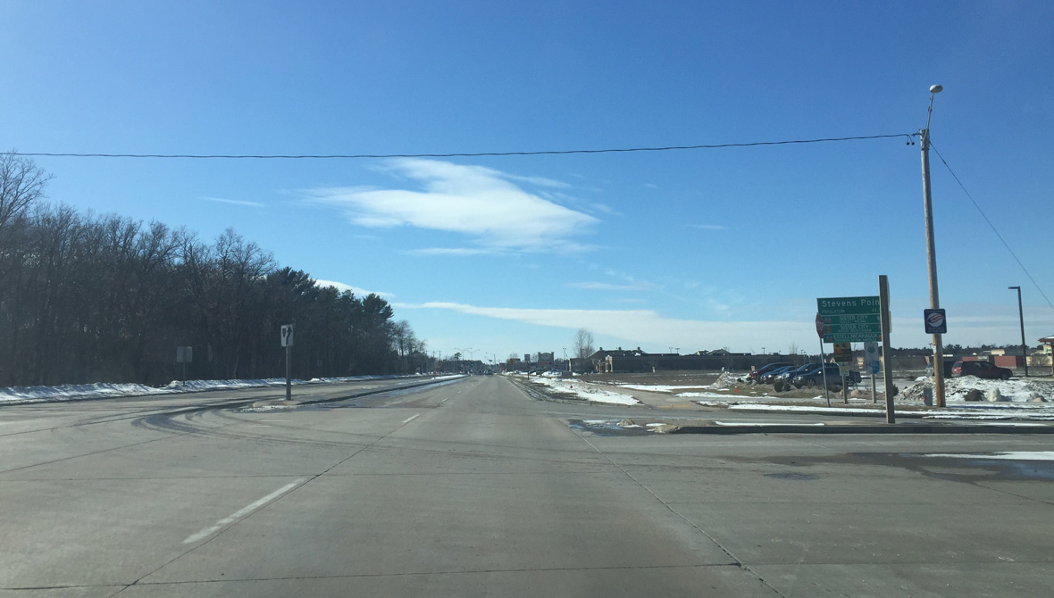
U.S. 10 formally enters the Stevens Point city limits at Badger Avenue. An array of eateries and retail line the arterial ahead.
03/02/16
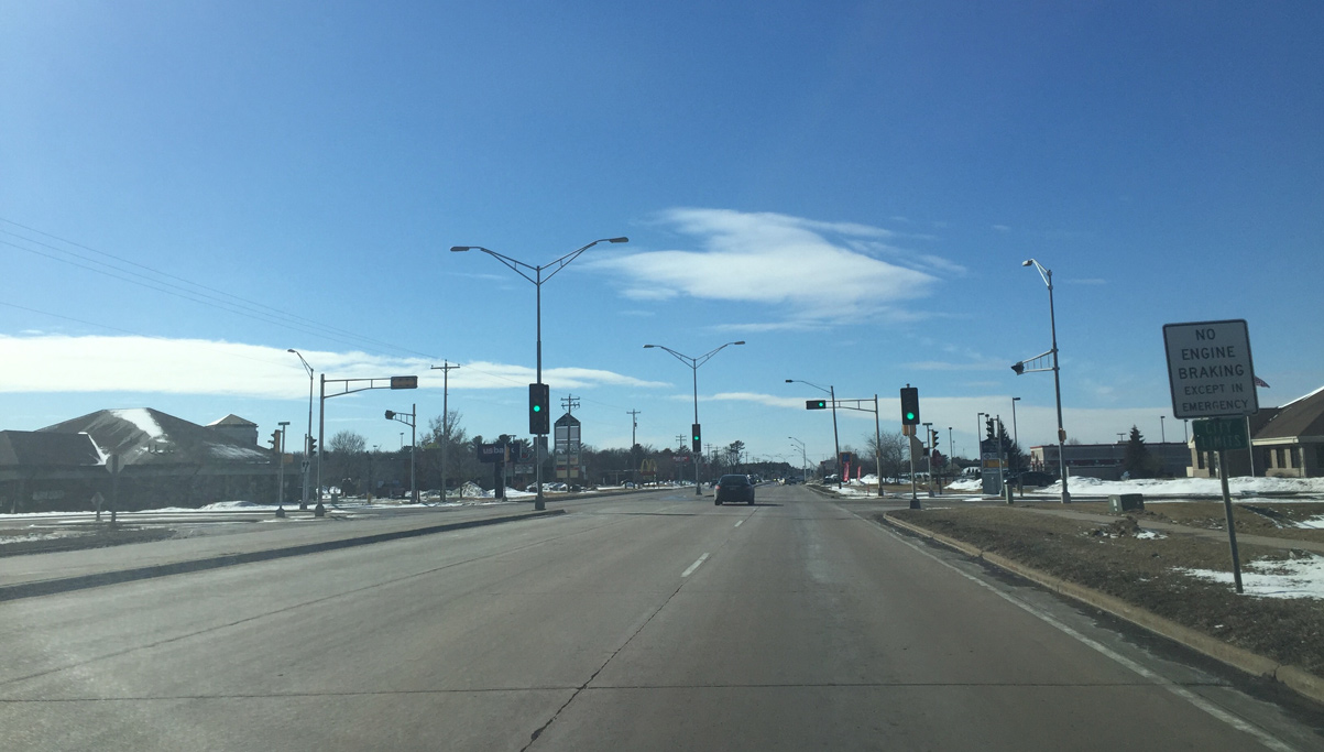
The first of three signals along U.S. 10 prior to I-39 governs movements at Elizabeth Avenue for the Parkdale Plaza and East Pointe shopping centers.
03/02/16
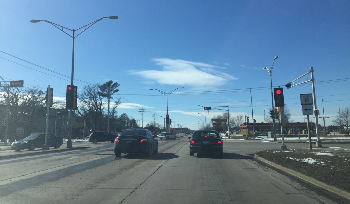
County R lines Brilowski Road south from U.S. 10. The trunk highway parallels I-39 for 6.8 miles to Plover and Wis 54.
03/02/16

U.S. 10 constitutes a commercial arterial west to the parclo interchange with Interstate 39, U.S. 51 and Wis 66.
03/02/16
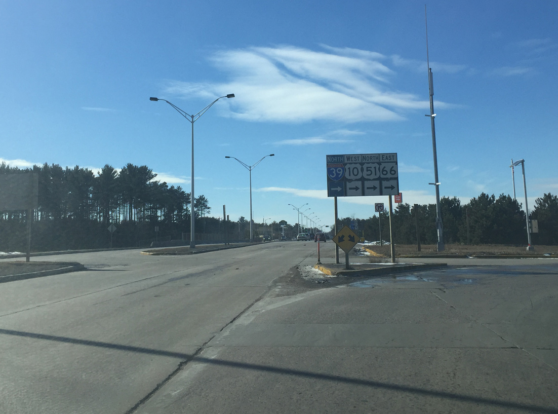
U.S. 10 west turns north onto Interstate 39 to bypass the remainder of Stevens Point. Wis 66 takes over the pre-2010 route of U.S. 10 west along Main Street to Downtown Stevens Point.
03/02/16
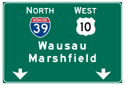
Photo Credits:
- Peter Johnson: 03/02/16
Connect with:
Page Updated Tuesday April 26, 2016.