
U.S. 10 West - Weyauwega to Waupaca

 West
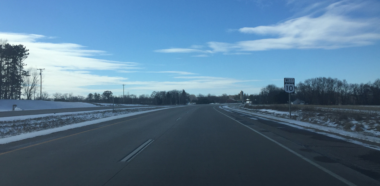
West 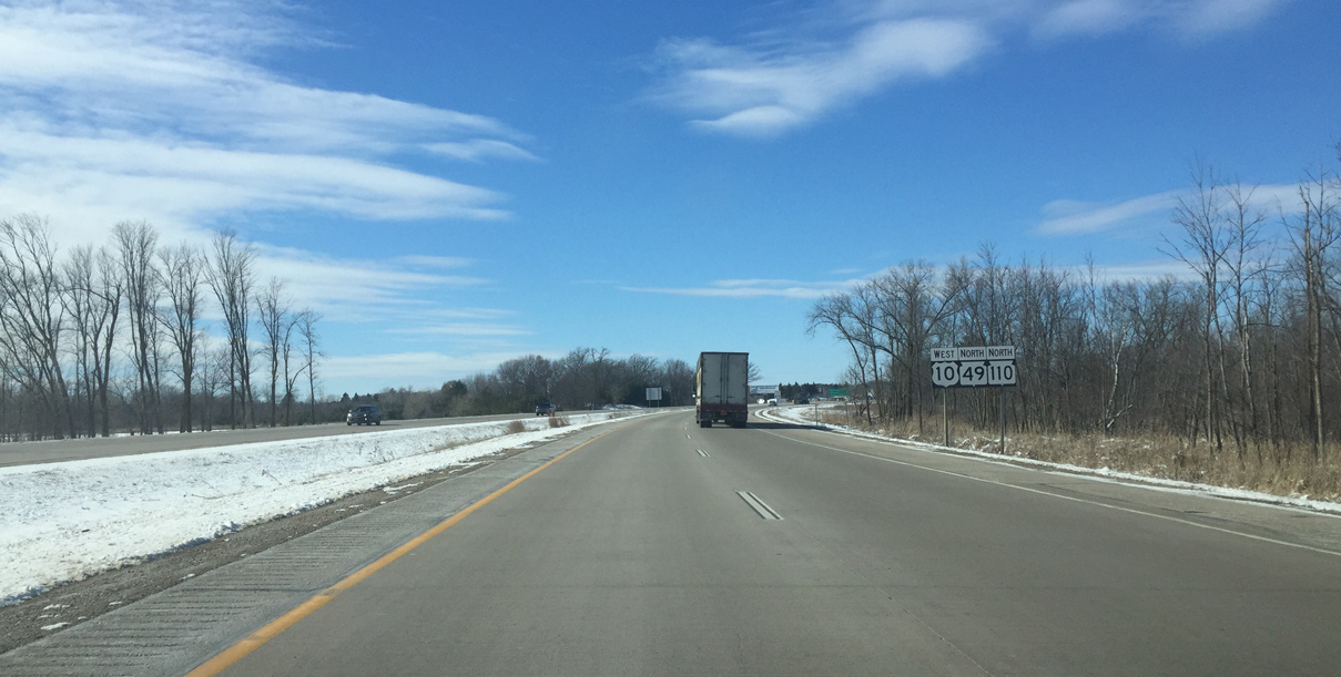
STH-49 north overlaps with U.S. 10 west to Waupaca while STH-110 shares a 4.6 mile long concurrency to Weyauwega.
03/02/16

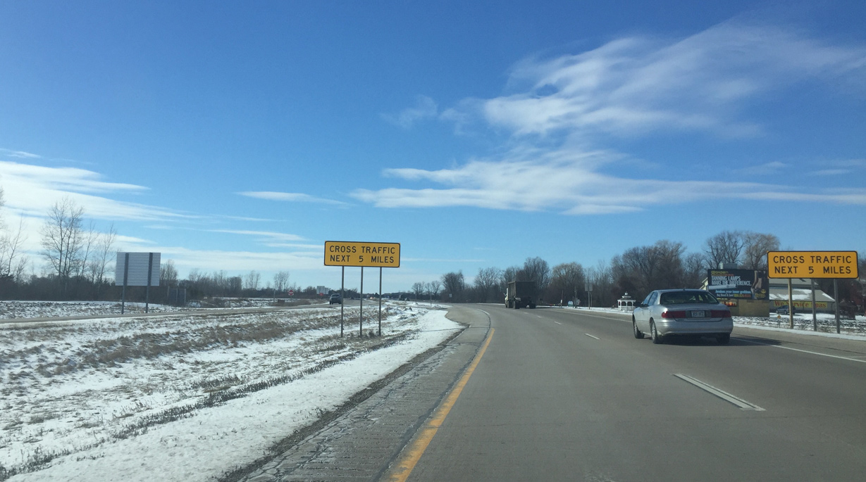
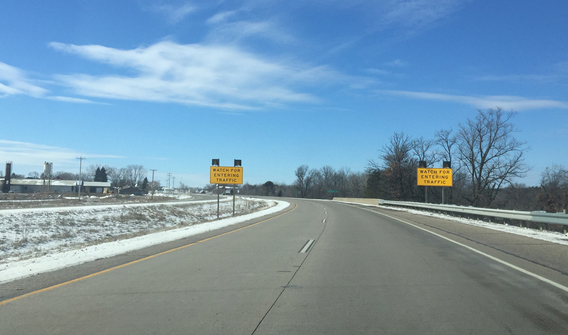
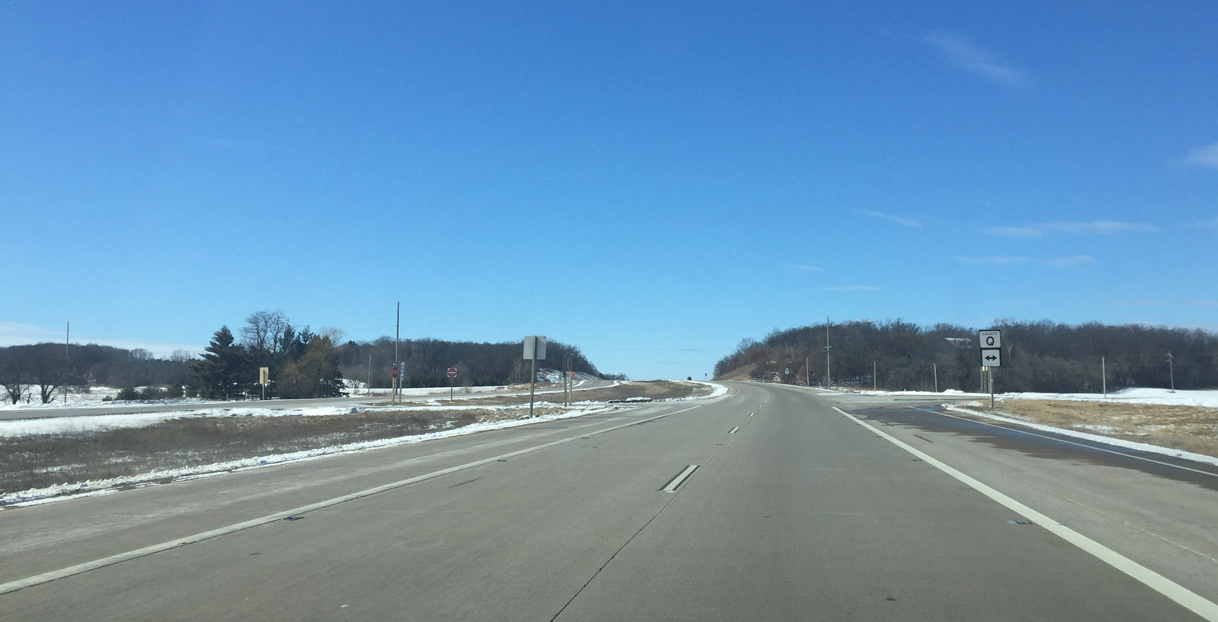
A pair of cross traffic signs reference the end of the freeway section. There is a mix of freeway and expressway from here to Stevens Point.
03/02/16
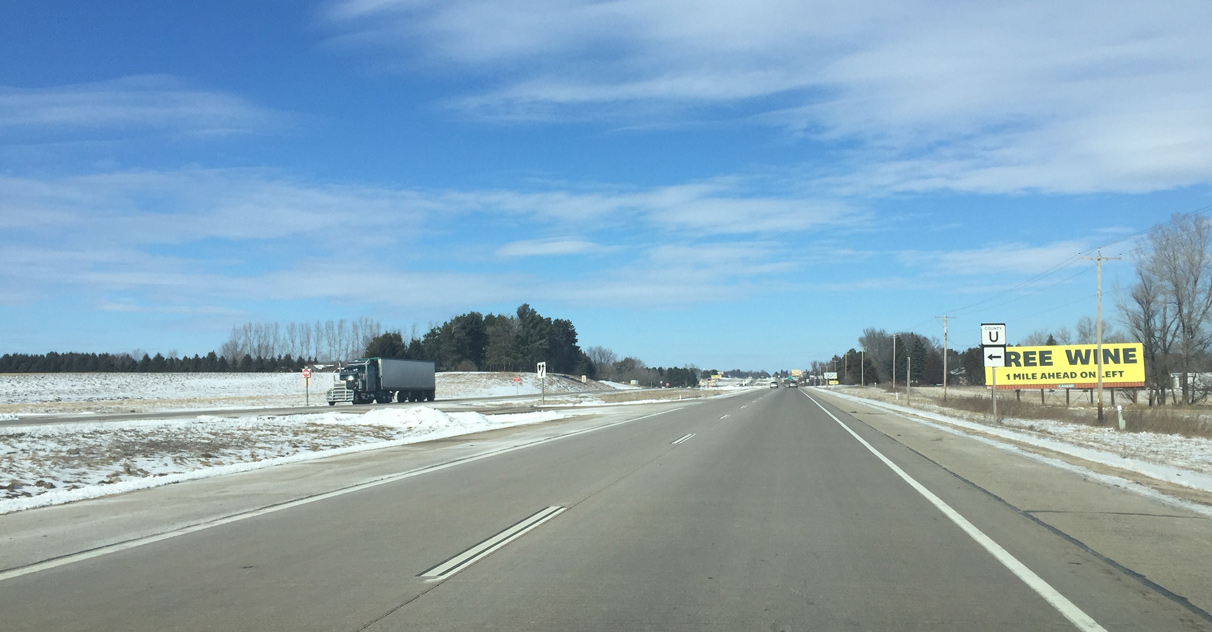
CTH-U forms a rural loop south to STH-49 near West Bloomfield.
03/02/16
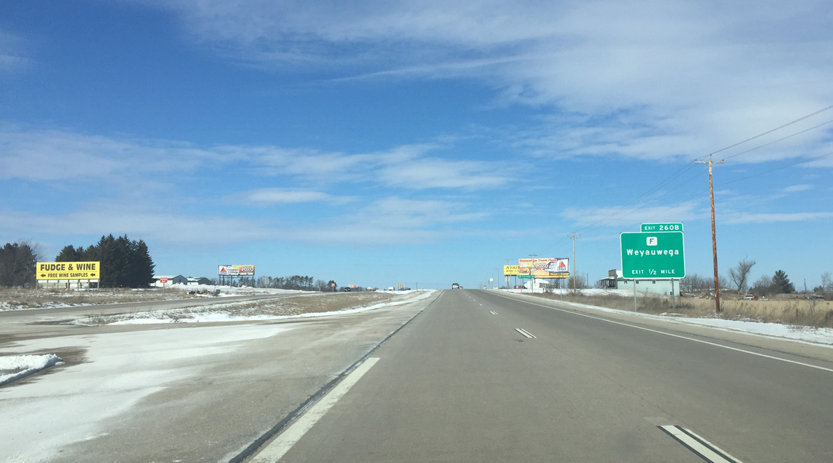
The U.S. 10 expressway turns due north to the wye interchange (Exit 260B) with County F (Pine Street). County F is the main Weyauwega interchange for northbound traffic.
County F was replaced Wis 110 north along Pine Street as the city wanted to reduce truck traffic.
03/02/16
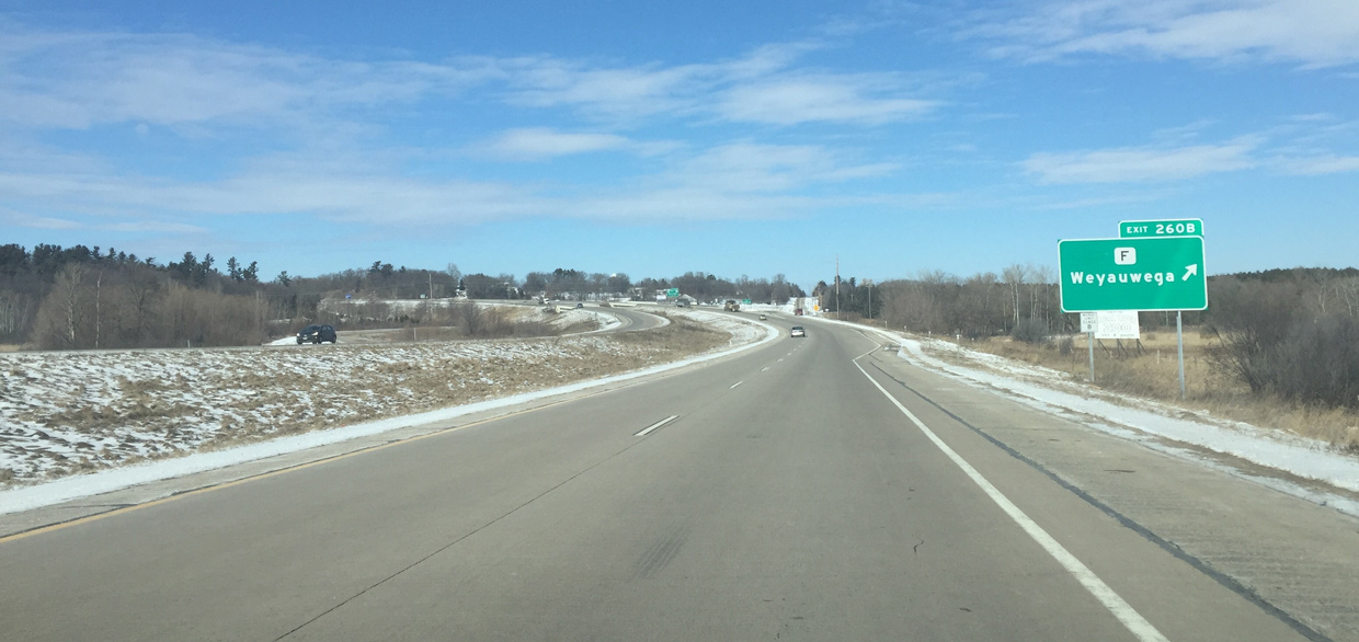
Exit 260B leaves U.S. 10/Wis 49-110 west for County F (Pine Street) north. A Class B placard coupled with the guide sign indicates that heavy trucks should not use County F.
03/02/16
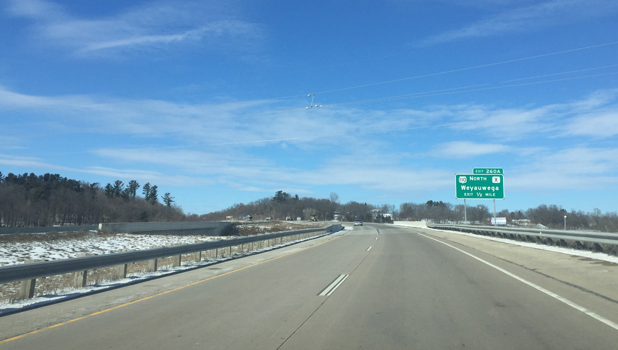
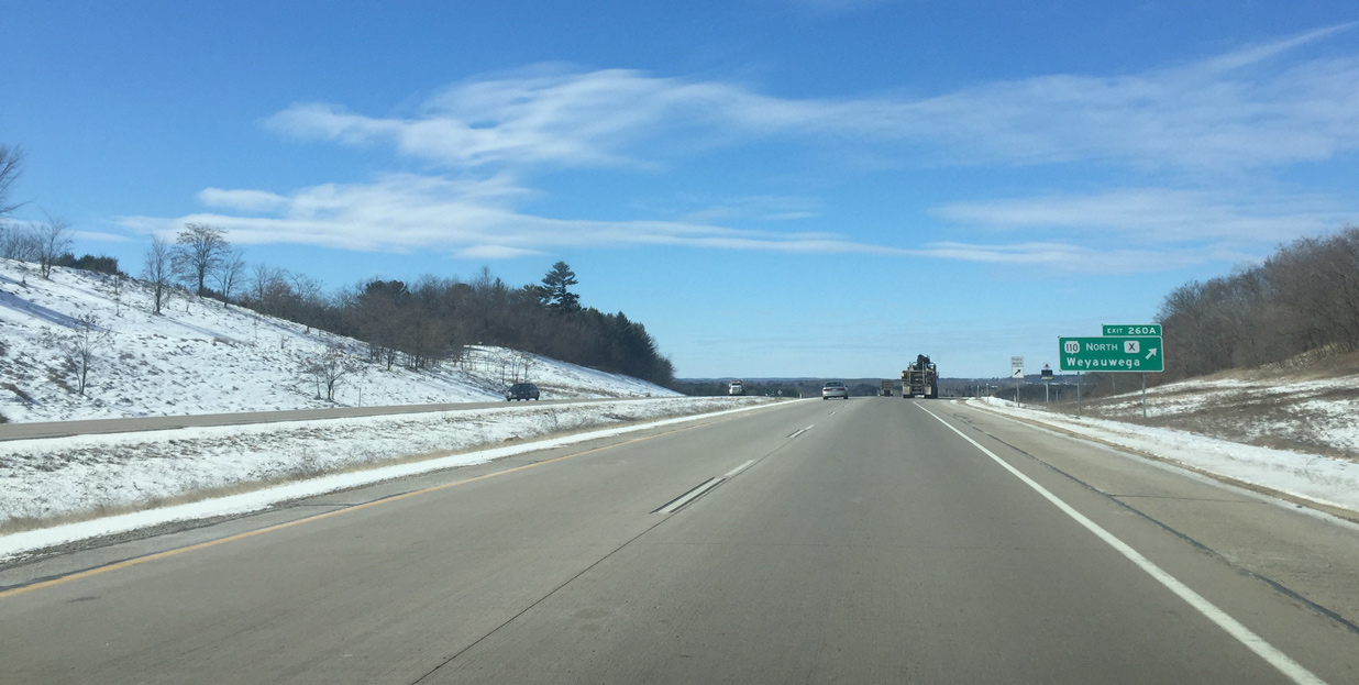
The freeway curves west and ascends onto a hill southwest of Weyawega on the half mile approach to the split with Wis 110 north at County X. Exit 260A is a full diamond interchange.
03/02/16
Wis 110 departs US 10 for Main Street east to the Weyauwega city center. Wis 110 was rerouted along CTH-X to limit through truck traffic to one main road through the city. The state trunk highway heads north to Manawa and Marion.
03/02/16
West 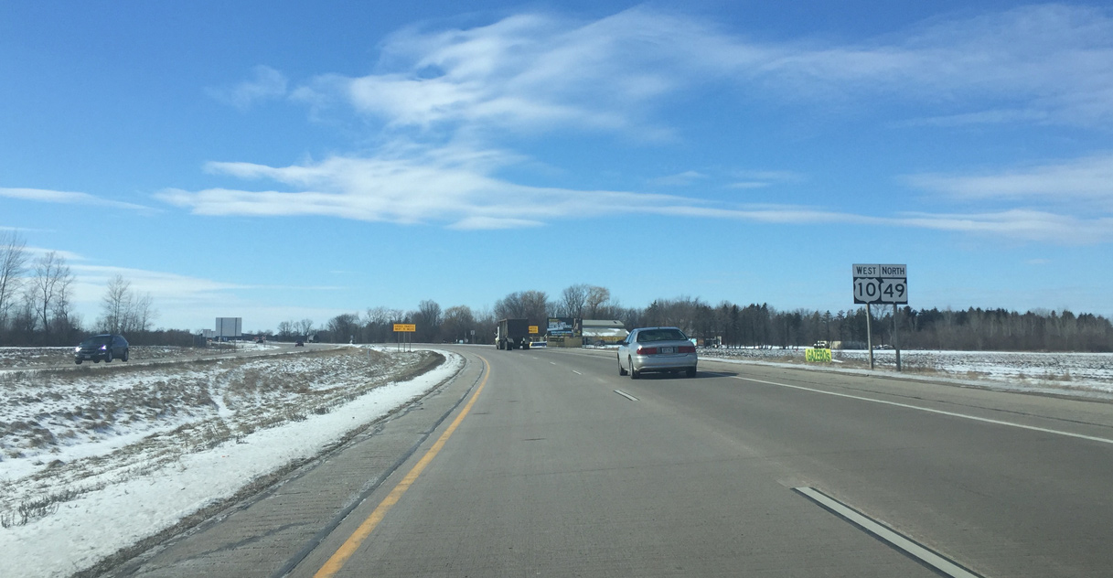
U.S. 10/Wis 49 resume a westward course to the south of Weyauwega Lake.
03/02/16
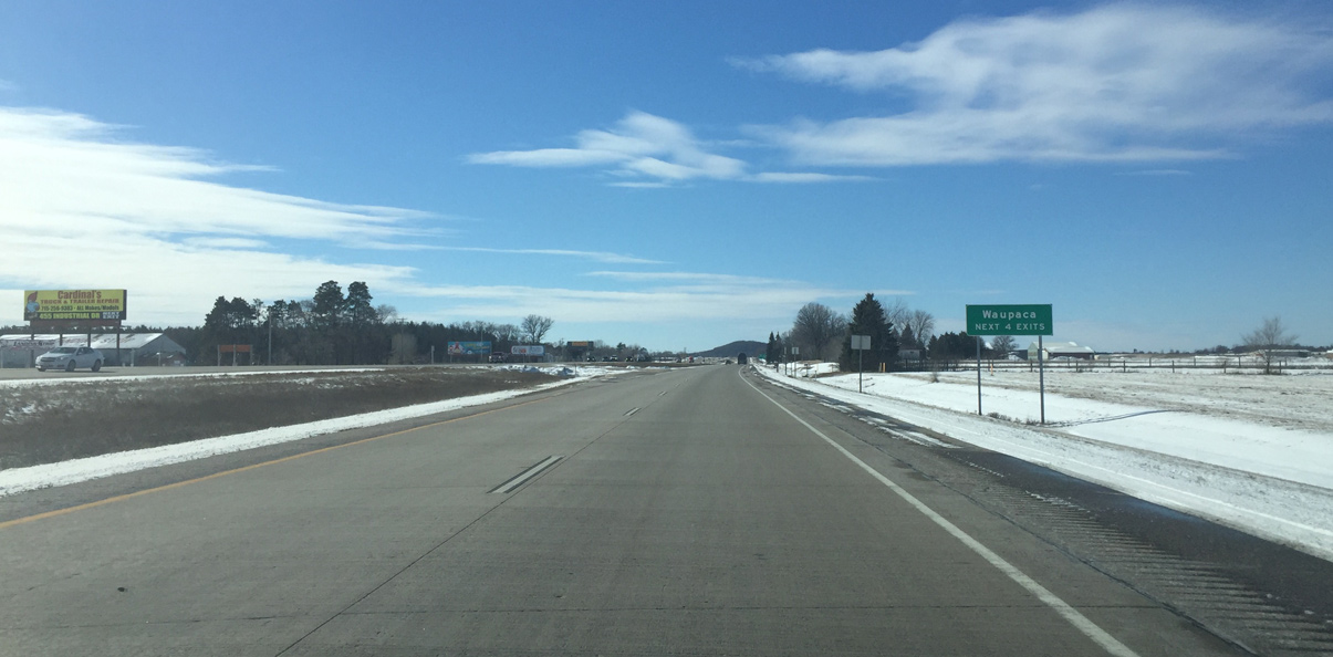
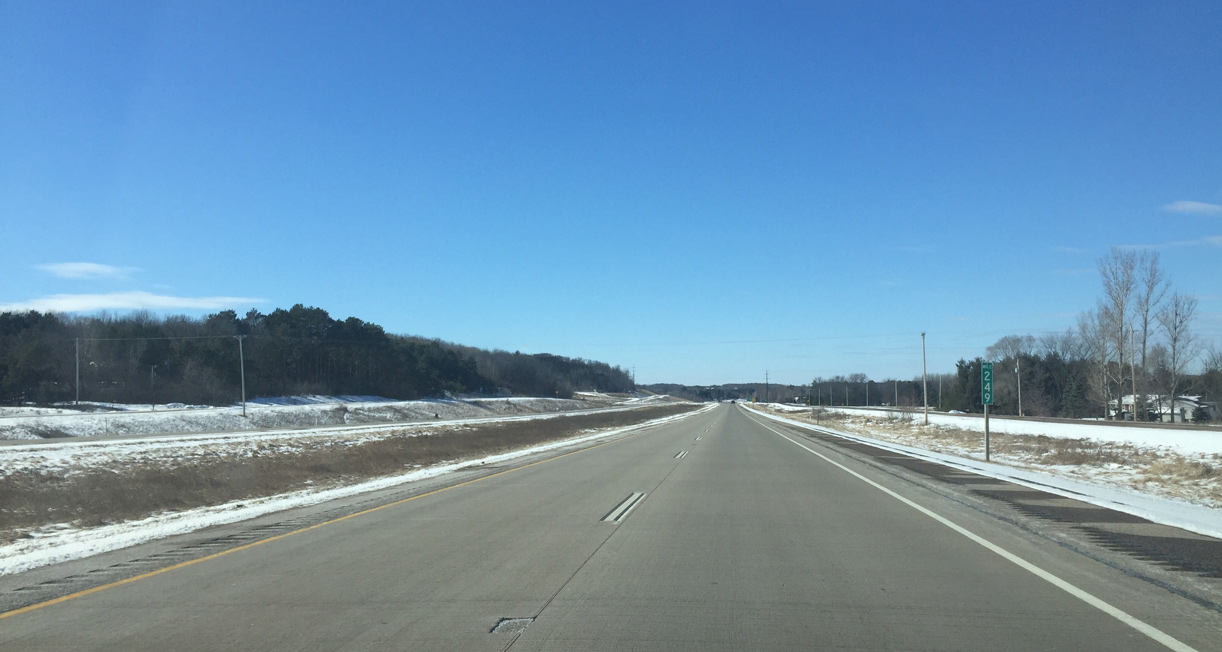
U.S. 10 transitions back into an expressway for the ensuing five miles leading west to the Waupaca Bypass.
03/02/16
Reassurance marker for U.S. 10 without Wis 49 posted after the intersection with Reek Road. The expressway runs along the Waupaca River to Waupaca Municipal Airport (PCZ) along this stretch.
03/02/16
Warning signs for when heavy trucks leave an adjacent quarry west of Harrington Road.
03/02/16
U.S. 10 again transitions into a limited access highway as it reaches the city of Waupaca.
03/02/16
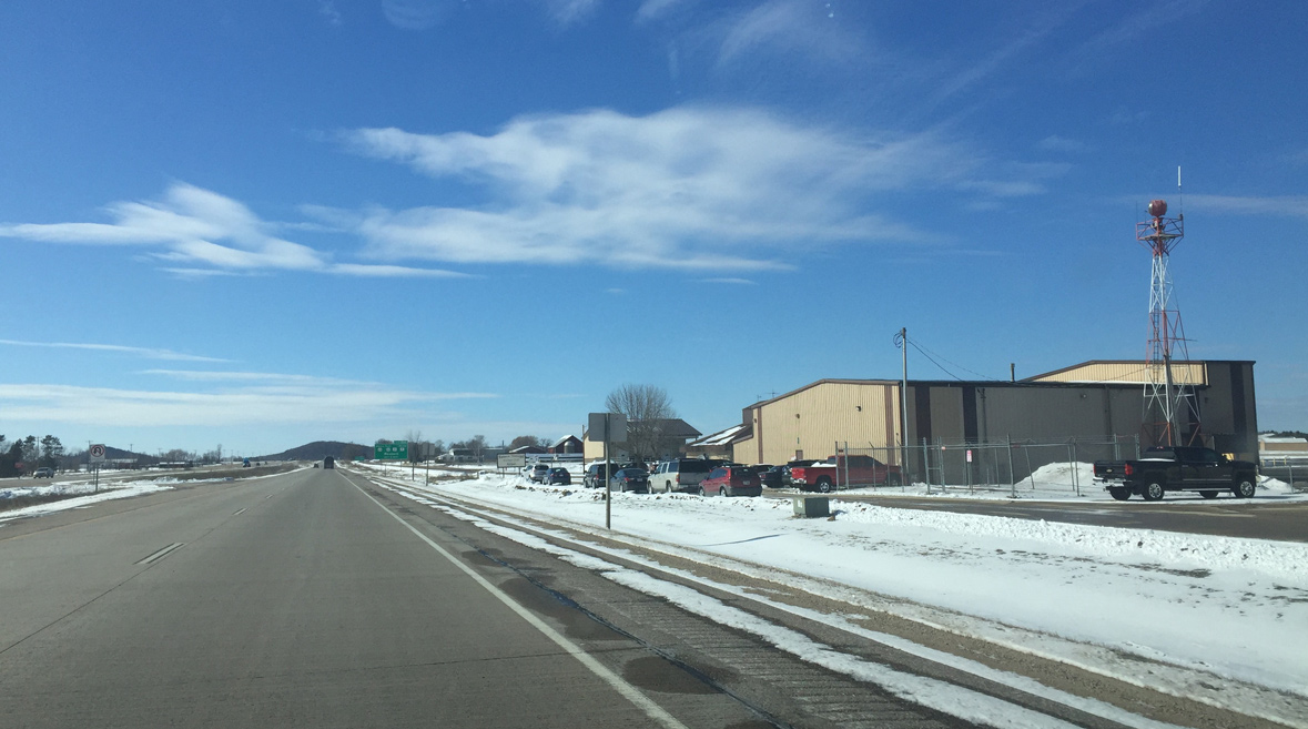
Waupaca Municipal Airport (PCZ) lies just north of the U.S. 10 freeway. It is accessible by the north frontage road from upcoming Exit 254.
03/02/16
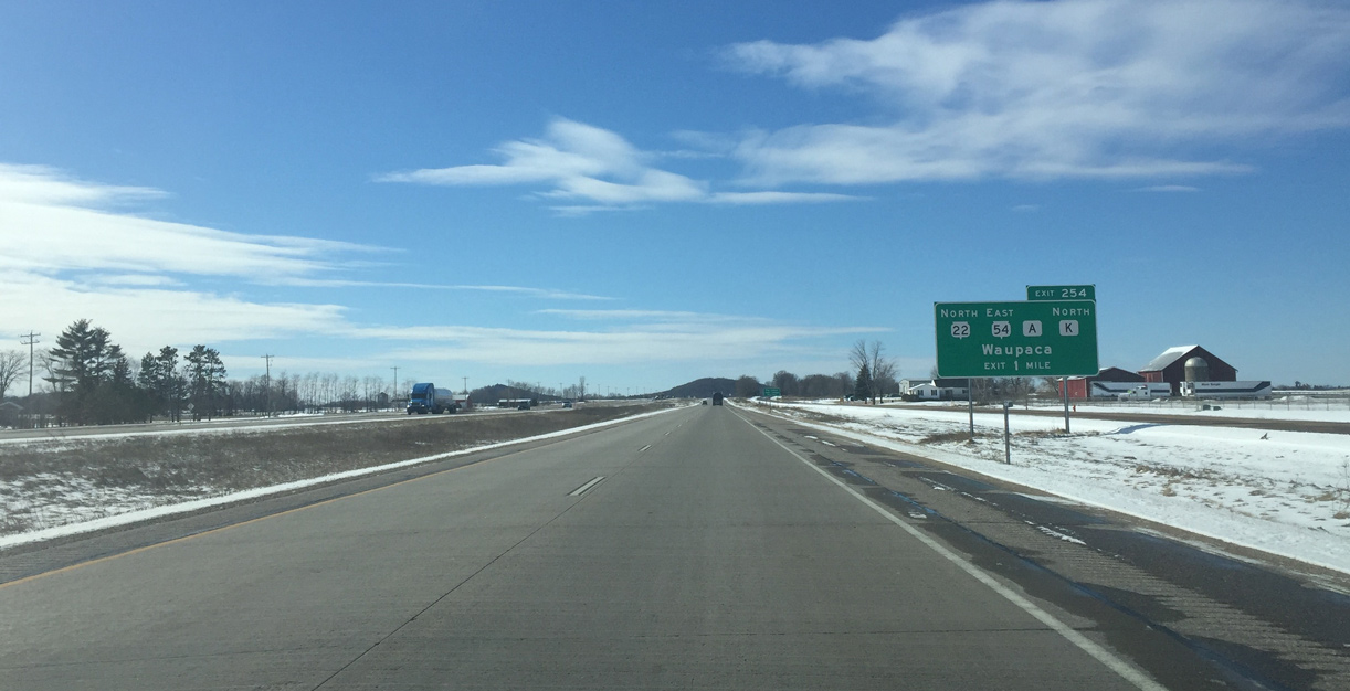
Wis 22 south, Wis 54 west, County A north and County K south come together at a parclo interchange (Exit 254) with U.S. 10/Wis 49 in one mile. Wis 22-54/CTH-K were realigned onto a new two lane bypass here in 2007.
03/02/16
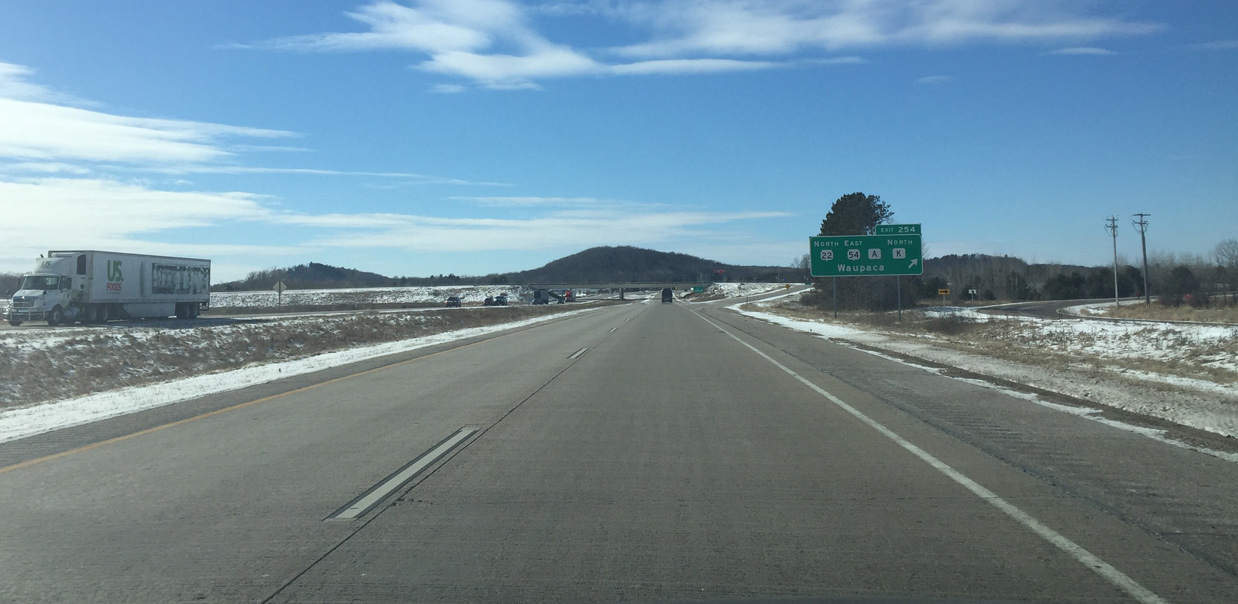
Wis 22/54 combine east from Waupaca to Wis 110 near White Lake. County K branches west from the pair via a roundabout along Royalton Street (old Wis 22) west into the city.
03/02/16
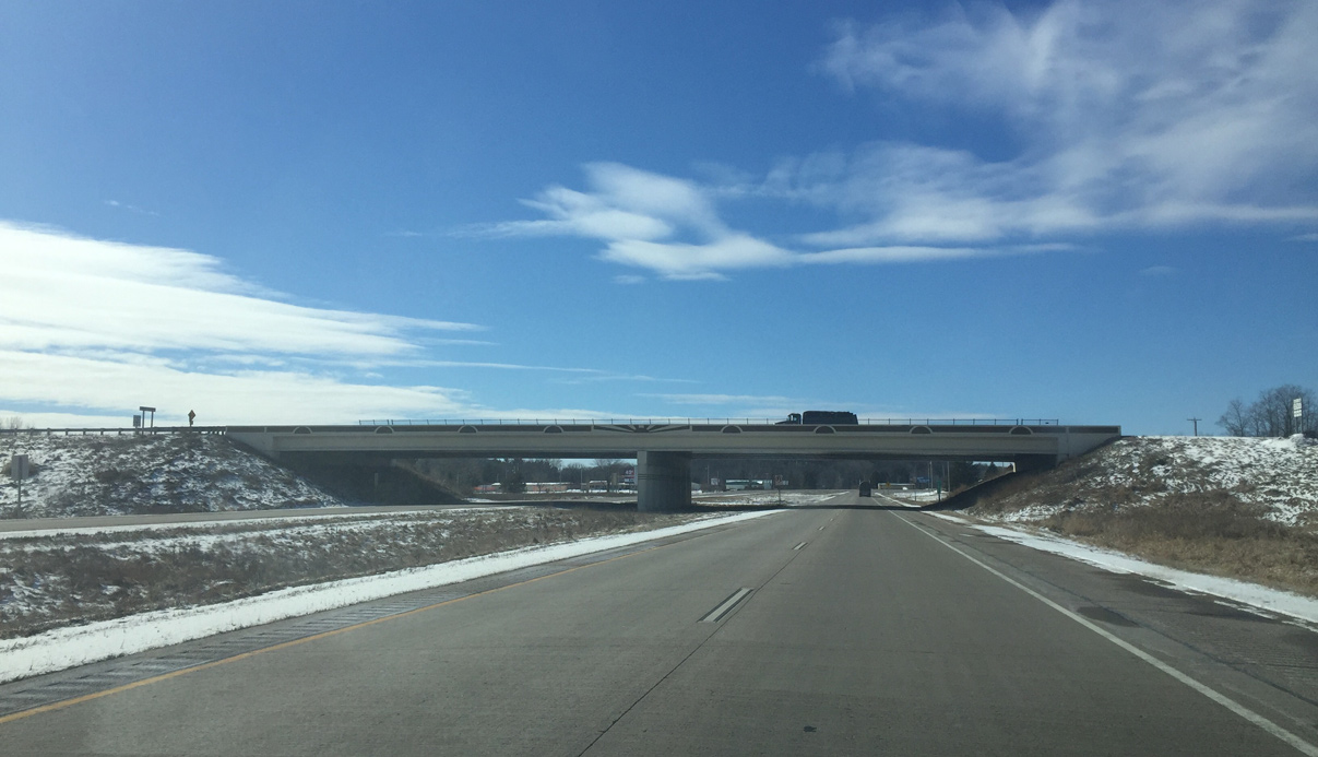
A decorative overpass carries County A across U.S. 10/Wis 49. County A ties into the exchange from Lind Center to the south.
03/02/16
Wis 22/54 join U.S. 10/Wis 49 west to complete their bypass of Waupaca. County K also shares an implied overlap with the freeway.
This portion of U.S. 10 was a two lane freeway built in the early 1970s. It was rebuilt with four lanes in 1996.
03/02/16
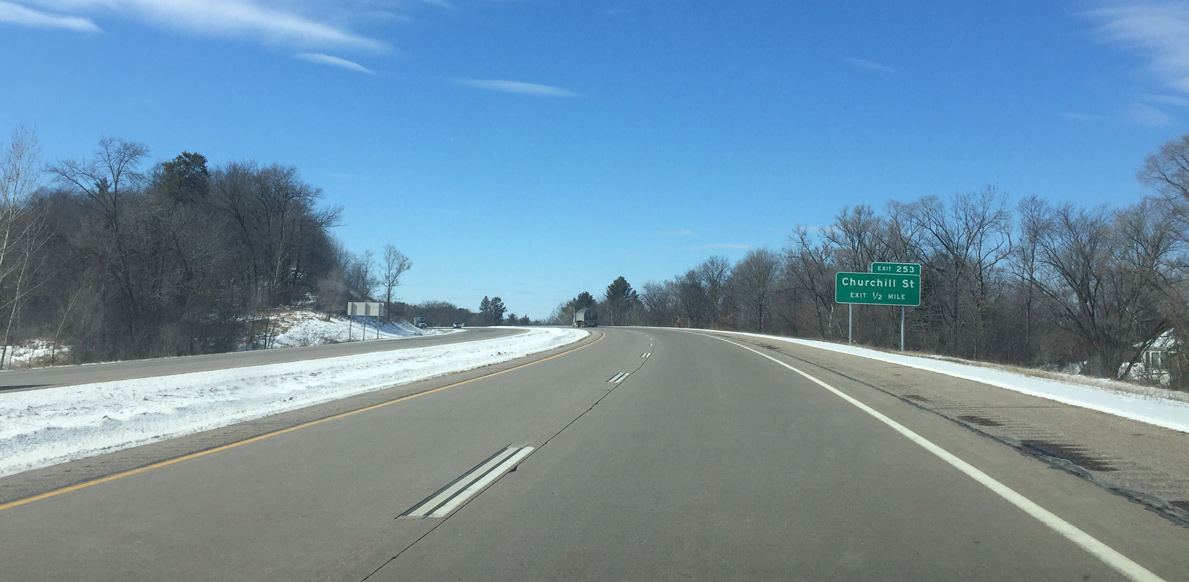
Churchill Street was the old exit for Wis 22 north and Wis 54 east. It serves the east side of Waupaca.
03/02/16
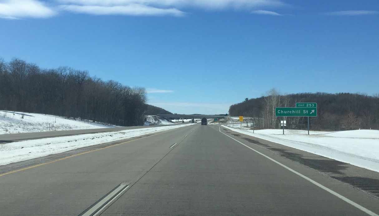
The U.S. 10 freeway cuts through a series of hills to the trumpet interchange (Exit 253) with Churchhill Street north.
03/02/16

Progressing westward, U.S. 10 and Wis 22/County K south partition in one half mile at Exit 252.
03/02/16
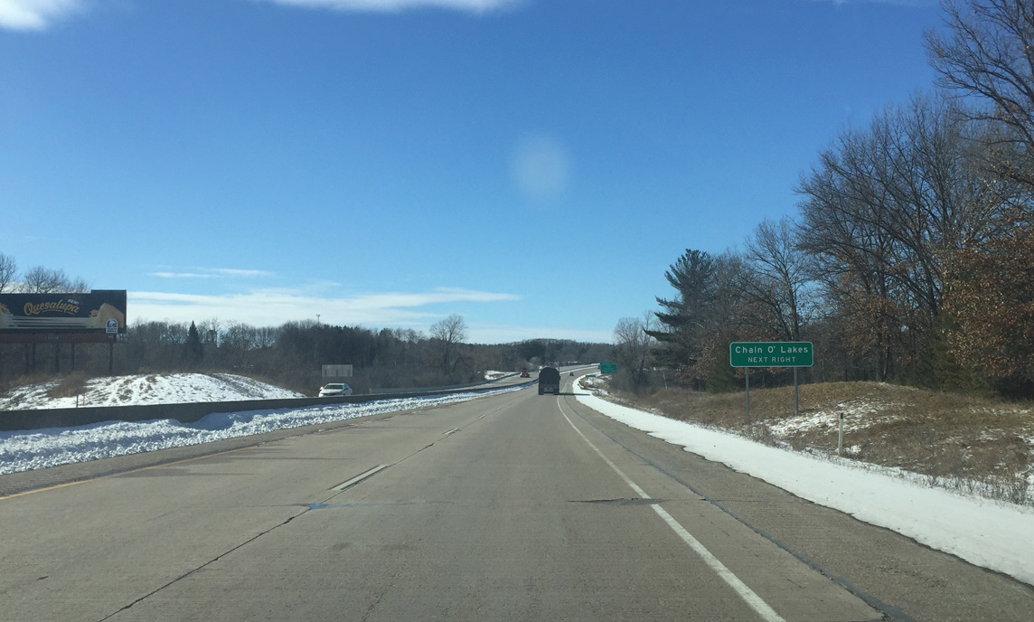
The Waupaca Chain O' Lakes is a popular chain of connected lakes for fishing and recreation. They lie southwest of U.S. 10 along County QQ and Wis 22.
03/02/16
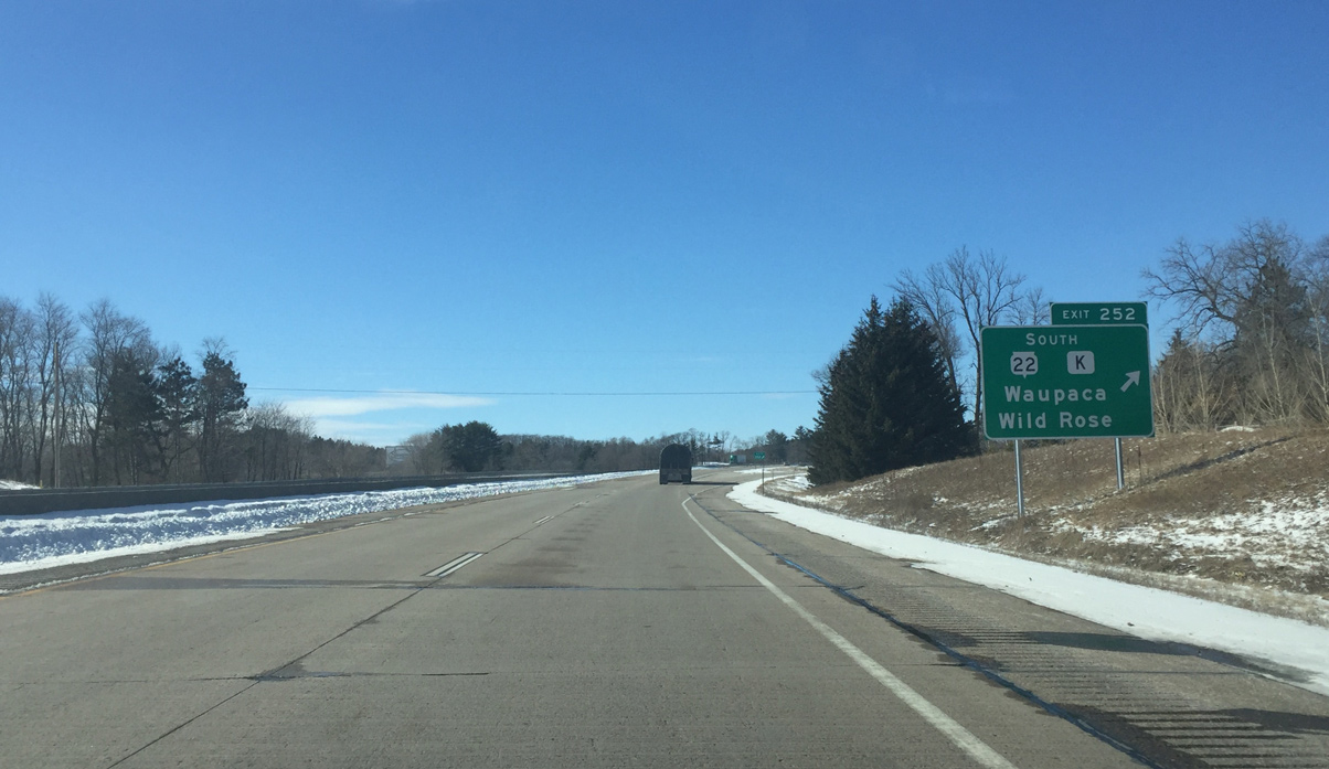
A diamond interchange (Exit 252) takes Wis 22/County K south from U.S. 10 west at Lakeside Parkway. Lakeside Parkway meanders north by Shadow Lake to Washington Street and Downtown. Wis 22 south continues 17 miles to Wild Rose and 25 miles to the Waushara County seat of Wautoma.
03/02/16
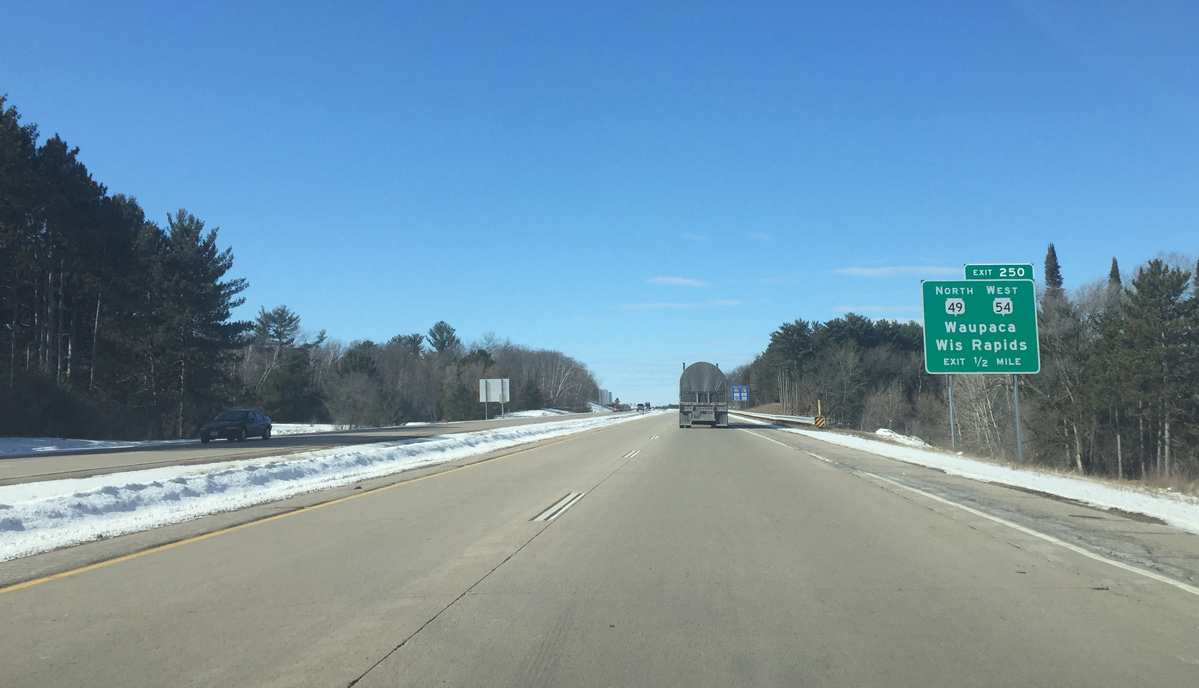
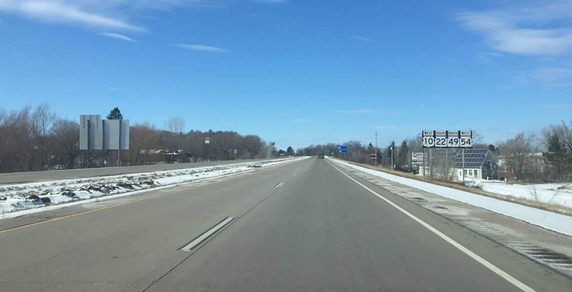
Angling northwest, Wis 49 north and Wis 54 west separate from U.S. 10 west at the subsequent exit in a half mile.
03/02/16
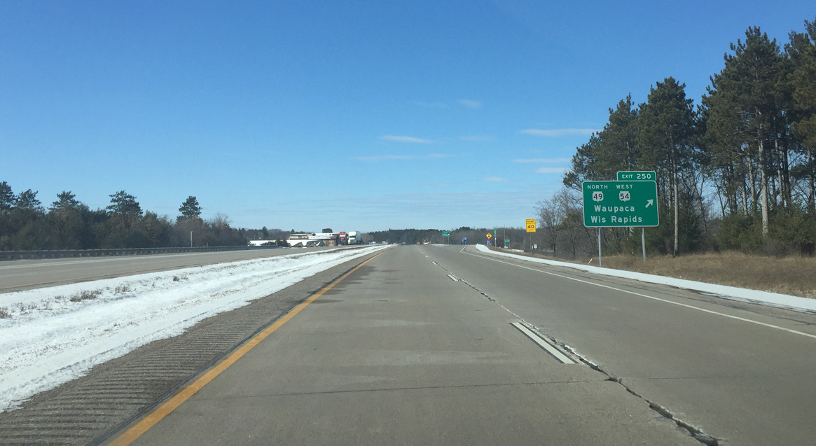
Wis 49 serves the west side of Waupaca via Fulton Street east to Harrison Street north while Wis 54 travels west toward Plover and Wisconsin Rapids. A commercialized diamond interchange (Exit 250) connects the three routes.
03/02/16
West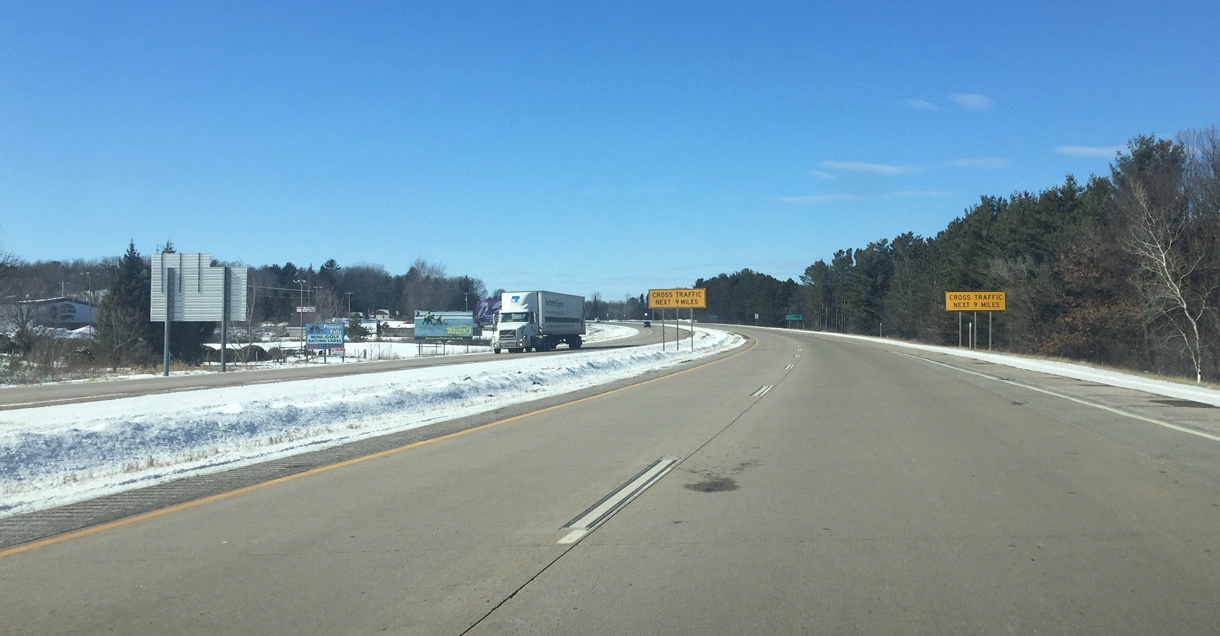
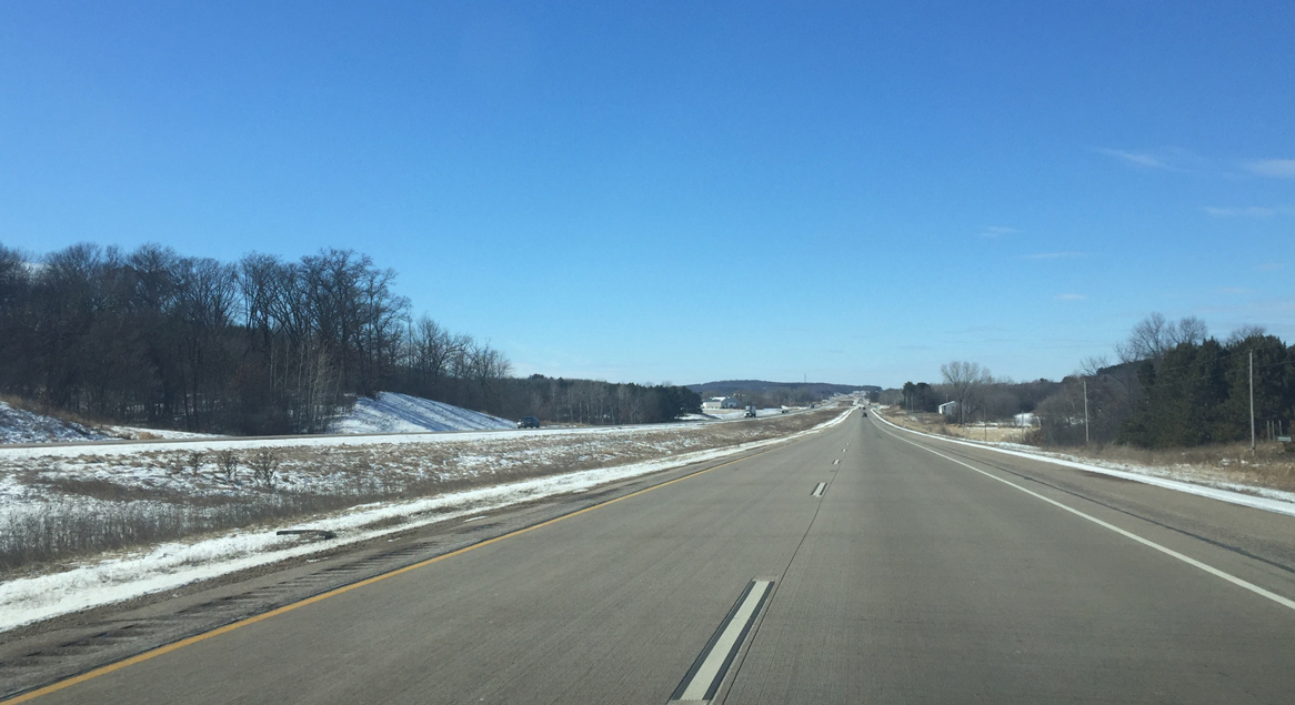
U.S. 10 west becomes an expressway as it leaves Waupaca.
03/02/16
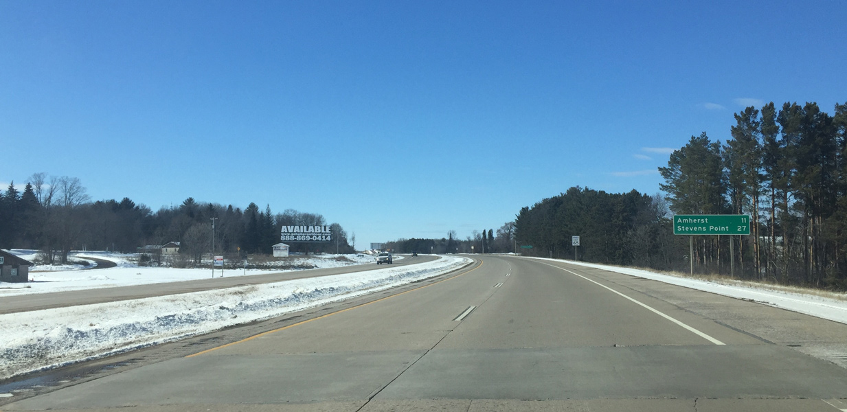
The village of Amherst is the next destination city along U.S. 10 west in 11 miles. Stevens Point is now a half hour away.
03/02/16
Frontage roads on both sides limit at grade access to select local roads only.
03/02/16
County Q meanders north from the Waupaca Chain O' Lakes to intersect U.S. 10 south of Sheridan.
03/02/16
U.S. 10 stays south of the settlement of Sheridan as the expressway bee lines toward the Portage County line.
03/02/16
Photo Credits:
- Peter Johnson: 03/02/16
Connect with:
Page Updated Tuesday April 26, 2016.