
U.S. 13 North - Wilmington to Claymont
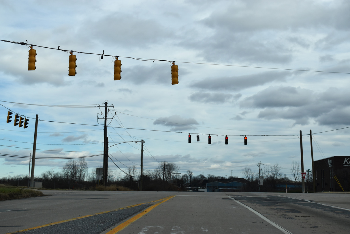
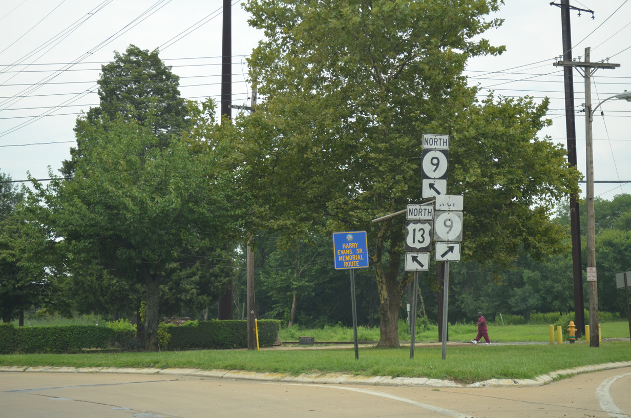
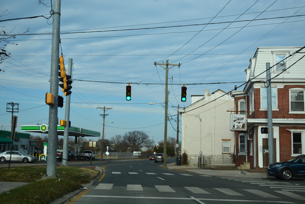
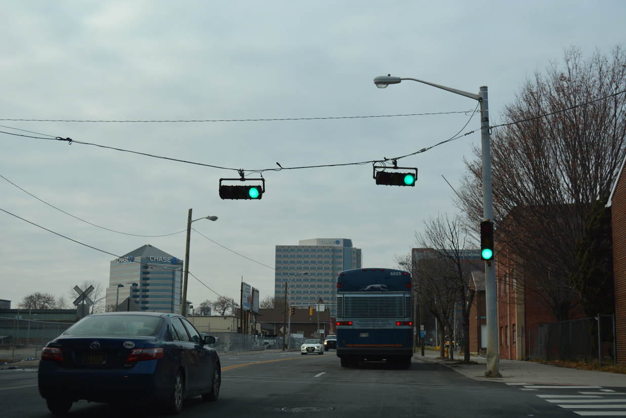
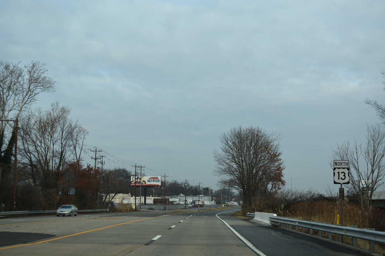
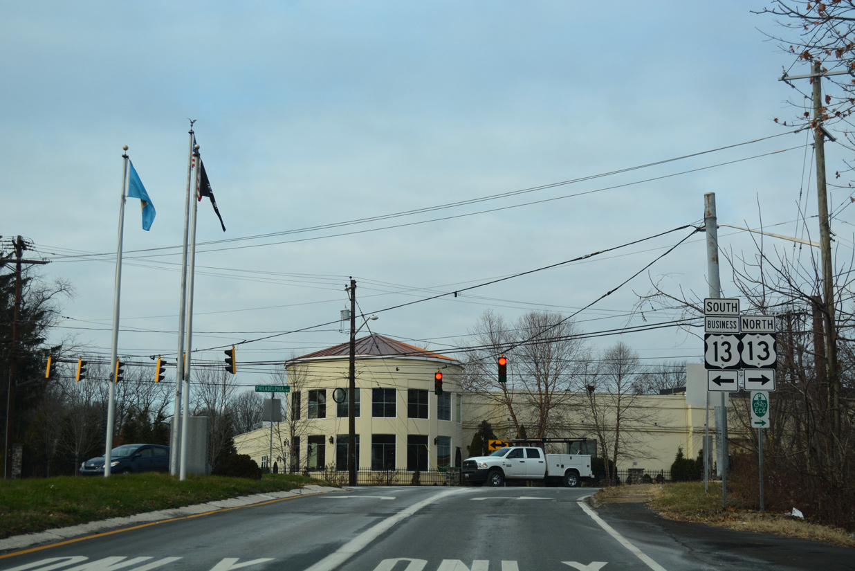
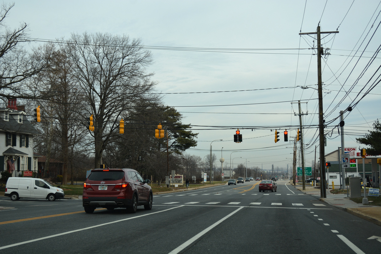
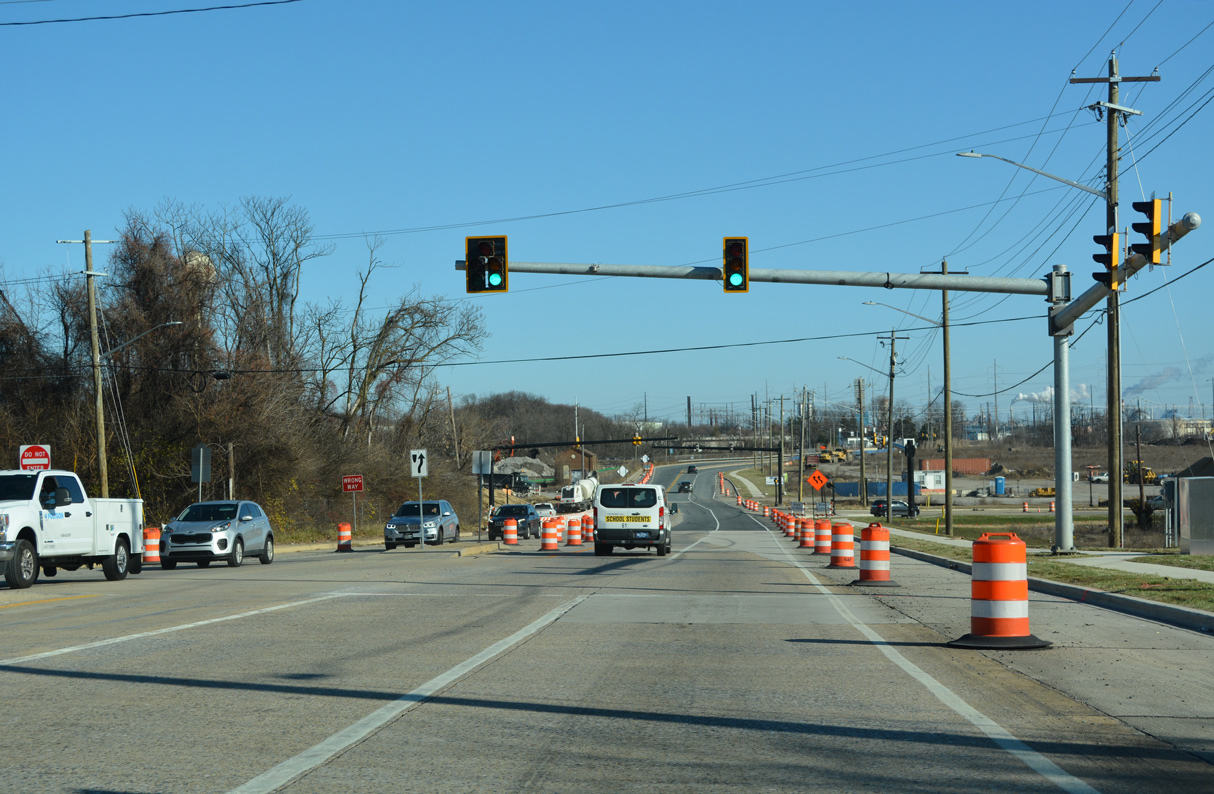
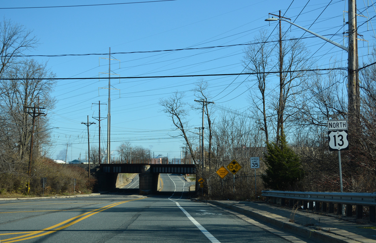
Rogers Road angles across U.S. 13 (Heald Street) just beyond the separation with U.S. 13 Business (Market Street). Rogers Road south leads to Cornell Park commerce center, the Dunleith and Oakmont subdivisions and SR 9 at Rogers Corners.
12/24/25
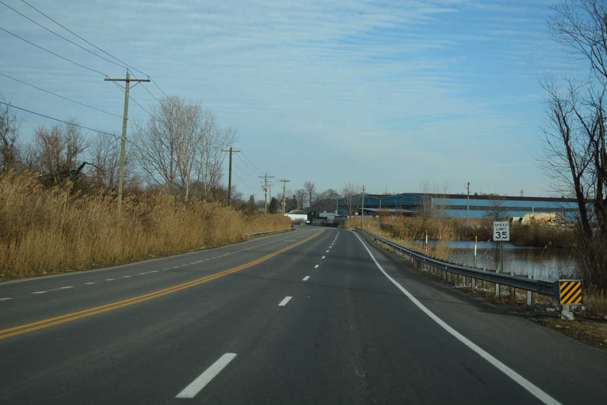
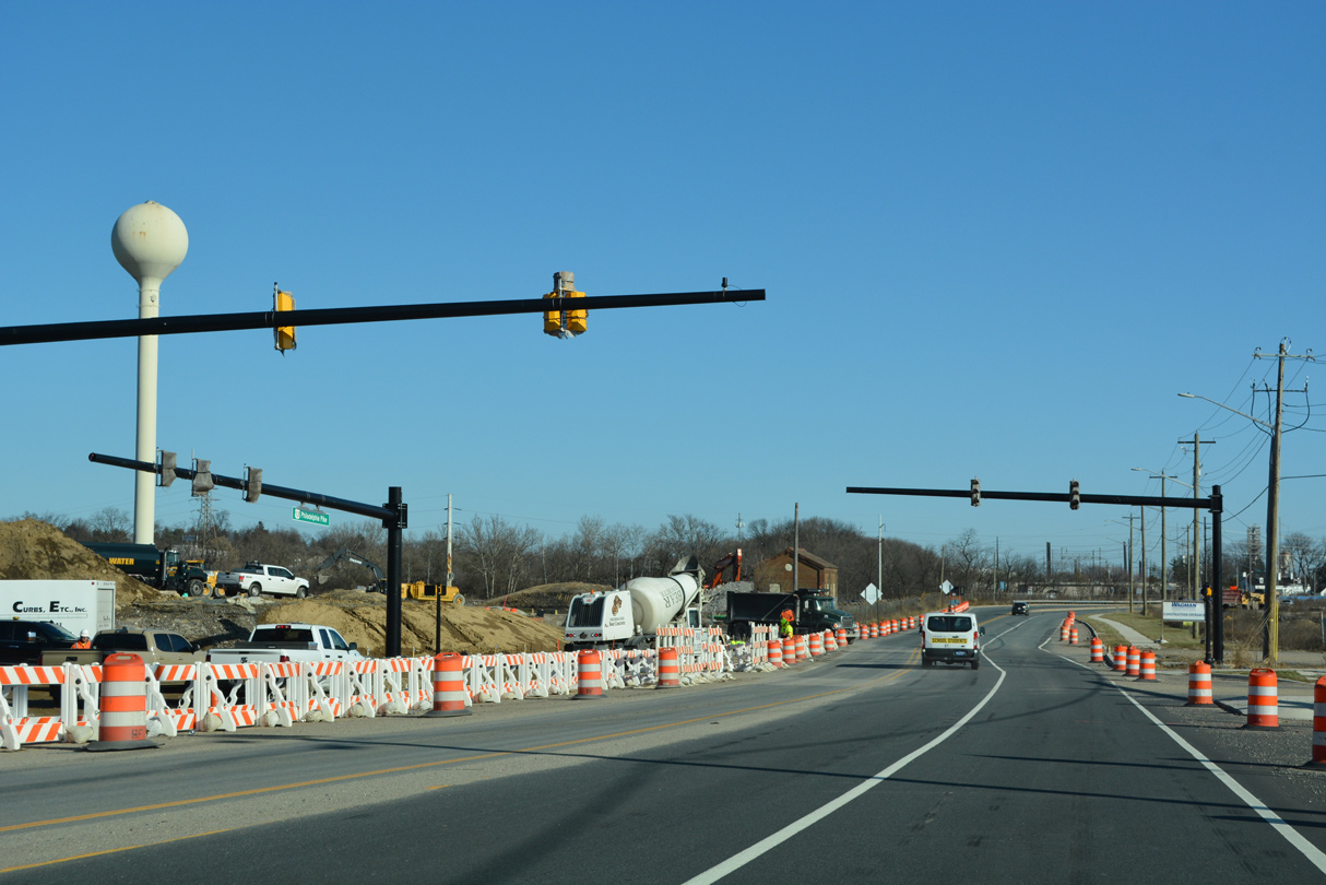
Heald Street (U.S. 13) traverses wetland areas ahead of industrial businesses and the Wilmington city line.
12/20/17

U.S. 13 (Heald Street) northbound enters the city limits of Wilmington at Garashes Lane. Garashes Lane forms a local connector leading west to Market Street (U.S. 13 Business) through industrial areas of south Wilmington.
12/20/17

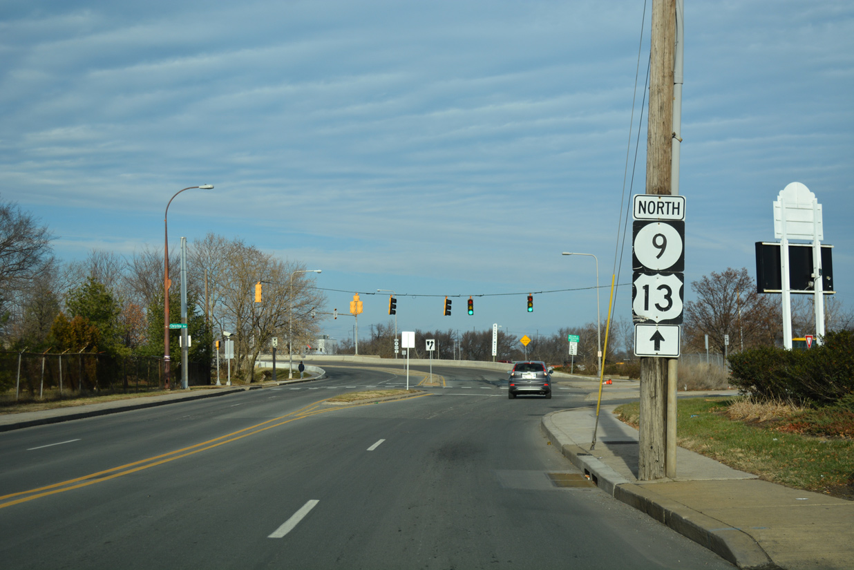
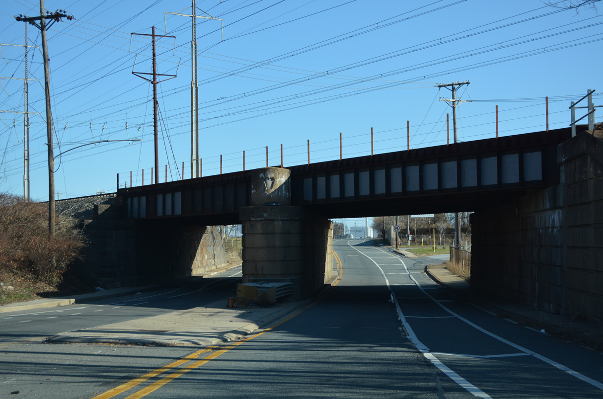
Advancing north, U.S. 13 (Heald Street) ascends onto the Paul Livingston Bridge over a ramp to SR 9 and a Norfolk Southern Railroad line. The railroad line was historically the Shellpot Branch freight secondary of the Pennsylvania Railroad.
12/20/17
Lowering from the Paul Livingston Bridge, U.S. 13 reaches the residential street grid of Southbridge, Wilmington. The US route separates into a one way couplet here, with northbound turning east onto D Street to combine with SR 9 north along New Castle Avenue. Heald Street carries southbound U.S. 13 between Lobdell Street and D Street.
12/20/17
Northbound U.S. 13 dog legs eastward along D Street to connect with SR 9 (New Castle Avenue). New Castle Avenue carries two-way traffic south from here to Interstate 295 and the city of New Castle.
07/31/13
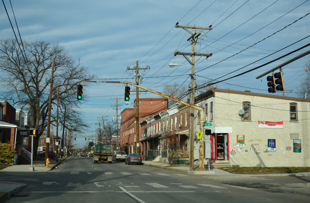
Beyond D Street, New Castle Avenue (U.S. 13/SR 9) flows northbound with two lanes to Heald Street. The ensuing intersection is with C Street spurring east to a church and west to a public housing complex.
12/20/17
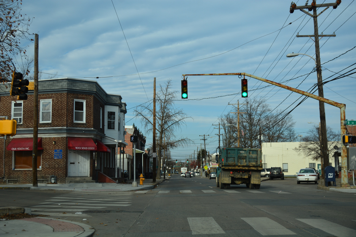
New Castle Avenue north at B Street. The alphabet series of streets in Wilmington spread south of the Christina River in Southbridge. E, F, and G Streets were planned but never built.
12/20/17
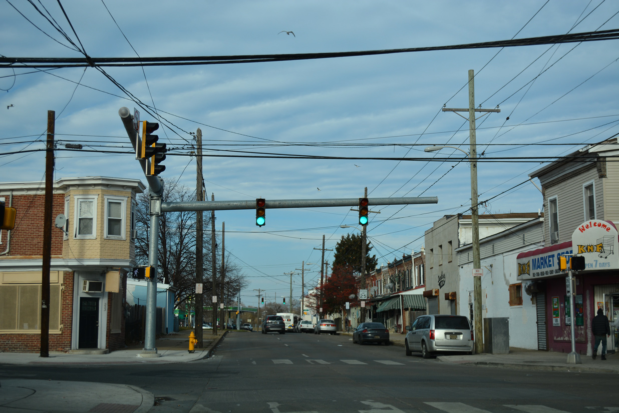
Connecting U.S. 13/SR 9 with Market Street (U.S. 13 Business) and Christina Avenue (SR 9A), A Street provides the lone east-west through route at Southbridge.
12/20/17
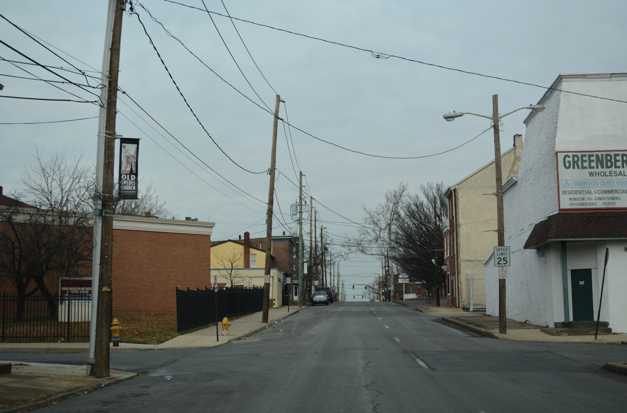
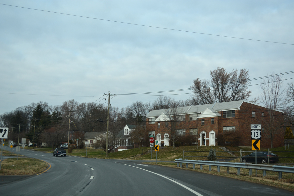
New Castle Avenue merges with Heald Street at the intersection with Lobdell Street. U.S. 13/SR 9 (Heald Street) continue north with four lanes from Southbridge to the Christina River and the East Side neighborhood.
12/20/17
SR 9A forms a two mile loop from SR 9 along Terminal Avenue east to I-495 and the port, and Christina Avenue northwest back to SR 9. The route is unmarked along Heald Street northbound.
12/20/17
Historically Christina Avenue was once part of a route linking Wilmington with Penns Grove, New Jersey via a ferry crossing. Ferries operated between the two states until 1951, when the Delaware Memorial Bridge opened to traffic. Christina Avenue formerly carried SR 48 eastward from Lancaster Avenue to the ferry until that time.
12/24/25

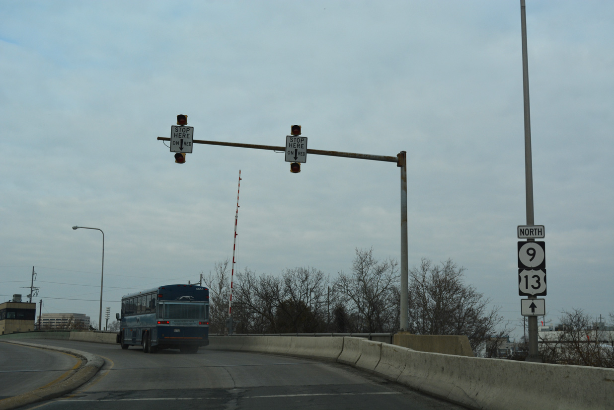
Spanning the Christina River, U.S. 13/SR 9 angle northwest from SR 9A (Christina Avenue) across the William. J. Winchester Bridge.
12/24/25

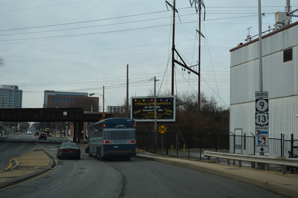
A double leaf bascule bridge carries U.S. 13/SR 9 from Southbridge to East Side in Wilmington.
12/18/17
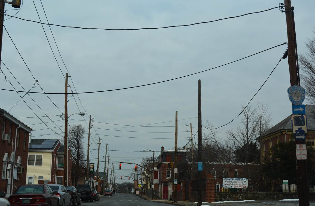
A second set of reassurance markers for U.S. 13/SR 9 appear just ahead of their separation at Church Street.
12/18/17
The turn of U.S. 13 north onto Church Street from SR 9 is unmarked. SR 9 remains west along 4th Street to Quaker Hill, West Center City and Hilltop to SR 2 (Union Street) west.
12/18/17
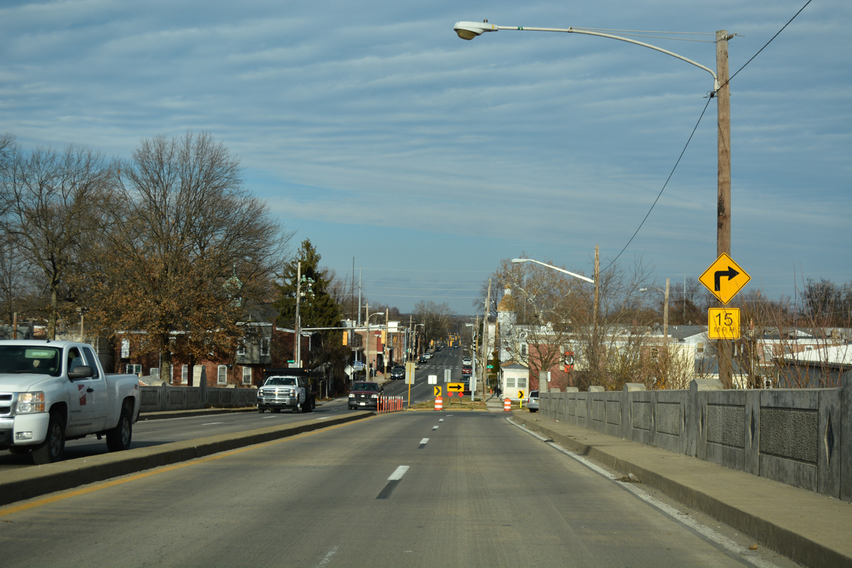
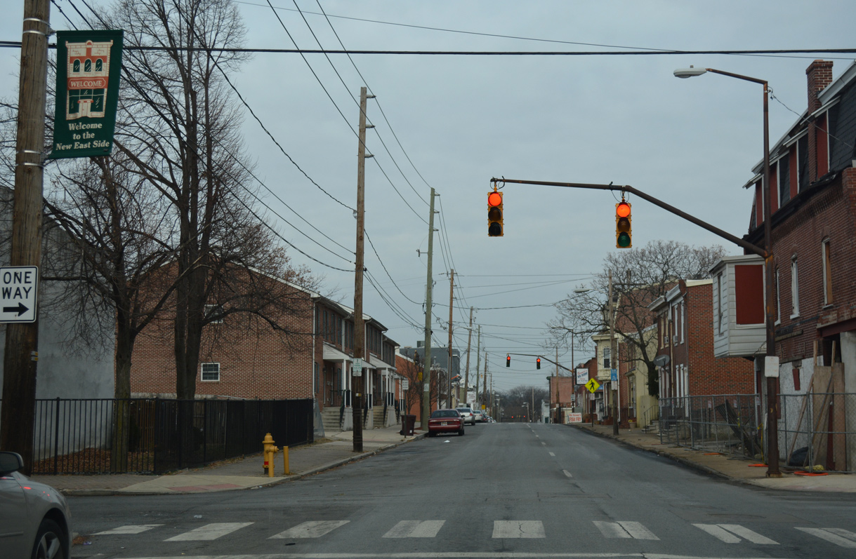
Church Street takes U.S. 13 northbound through East Side while Spruce Street, two blocks to the west, carries southbound. The US highway is not acknowledged along this eight block section.
12/18/17
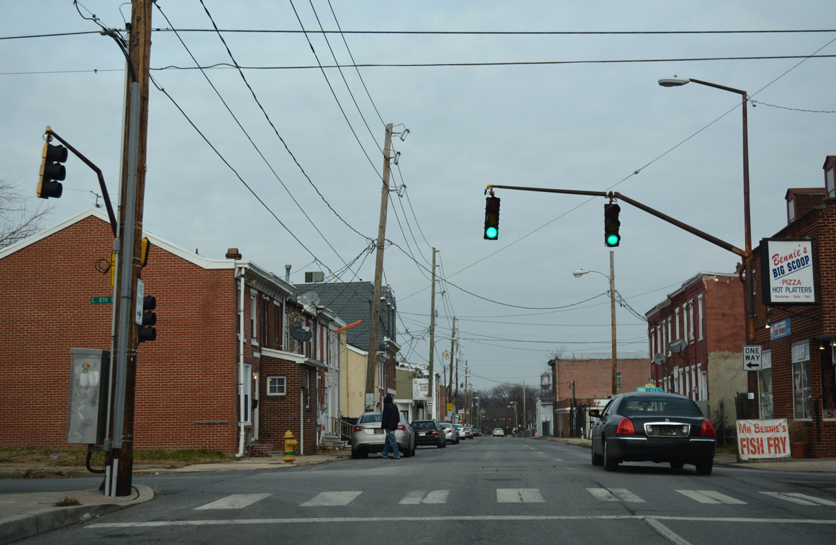
A remaining trailblazer for the Christina River Trail precedes E 7th Street on U.S. 13 (Church Street) northbound. 7th Street flows east from Church Street onto the 7th Street Peninsula between Brandywine Creek and the Christina River. The peninsula is home to Fort Christina Park and the Kalmar Nyckel Shipyard and Museum.
12/18/17
7th Street extends east from Downtown Wilmington to U.S. 13 (Church Street).
12/24/25
8th Street provides return access from the 7th Street Peninsula as it flows west across U.S. 13 (Church Street) north to the central business district.
12/24/25
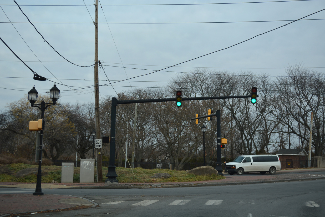
The couplet of U.S. 13 along Church and Spruce Streets converges at 11th Street and Kirkwood Park. The US route proceeds across Brandywine Creek on Northeast Boulevard.
12/24/25

Designated the State Representative Dr. Al O. Plant, Sr. Bridge, U.S. 13 (Northeast Boulevard) crosses Brandywine Creek along a former bascule bridge.
12/24/25
U.S. 13 (Northeast Boulevard) north meets 12th Street at the 11th Street Bridge community. The movable portion of the Brandywine Creek bridge was fused shut permanently once the creek was no longer used for boats.
05/15/05
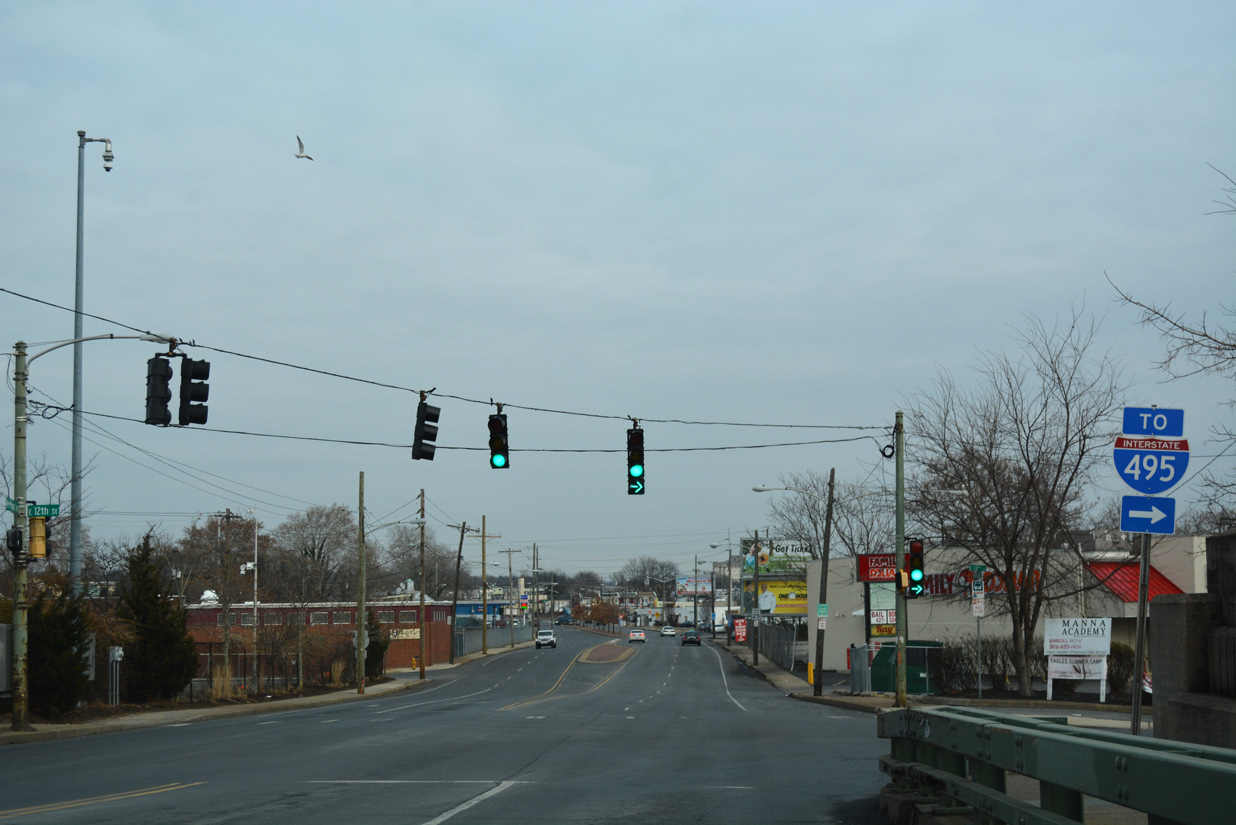
12th Street provides a direct route from U.S. 13 (Northeast Boulevard) to Interstate 495. 12th Street was extended east to meet the freeway at a diamond interchange by 1979.
12/24/25
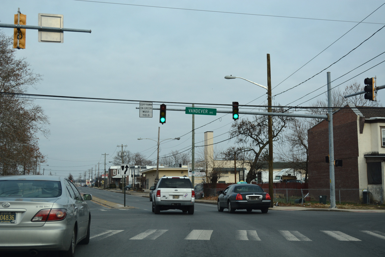
U.S. 13 (Northeast Boulevard) and Vandever Avenue come together at an angled intersection by the Eastlake neighborhood. Vandever Avenue provides a through street northwest to U.S. 13 Business (Market Street) and SR 202 (Concord Avenue) at Brandywine Village. It is not a part of State Route 202 however.
12/18/17
26th Street provides two-way traffic from U.S. 13 (Northeast Boulevard) at Riverside to Price's Run and U.S. 13 Business (Market Street) near the 9th Ward Area. Parallel streets from Vandever Avenue to 30th Street are one way.
12/18/17
30th Street leads west from Northeast Boulevard to Brown Burton / Winchester Park, the Eastlawn neighborhood and U.S. 13 Business (Market Street).
12/18/17
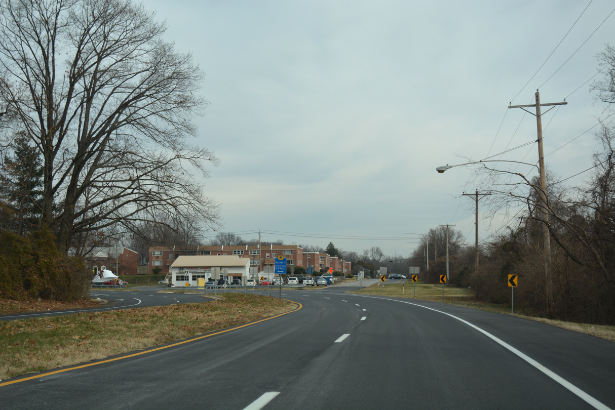
U.S. 13 vacates Wilmington just beyond 35th Street. Northeast Boulevard becomes Governor Printz Boulevard after the city line.
12/18/17
Lea Boulevard weaves southward from Miller Road and North Market Street to end at U.S. 13 (Governor Printz Boulevard) by Merchants Square shopping center. Paladin Drive ties into the intersection from a condominium community to the north.
07/31/13
Paralleling Interstate 495 north from Edgemoor to Claymont, Governor Printz Boulevard expands into a four lane divided highway.
12/18/17
SR 3 (Edgemoor Road) crosses paths with U.S. 13 (Governor Printz Boulevard) west from Interstate 495 at Edgemoor. The state route runs north around Bellefonte to U.S. 13 Business (Philadelphia Pike), I-95 at Exit 9 and Brandywine Hundred.
12/18/17
SR 3 south spans the adjacent AMTRAK Northeast Corridor to a parclo interchange with Interstate 495.
12/18/17
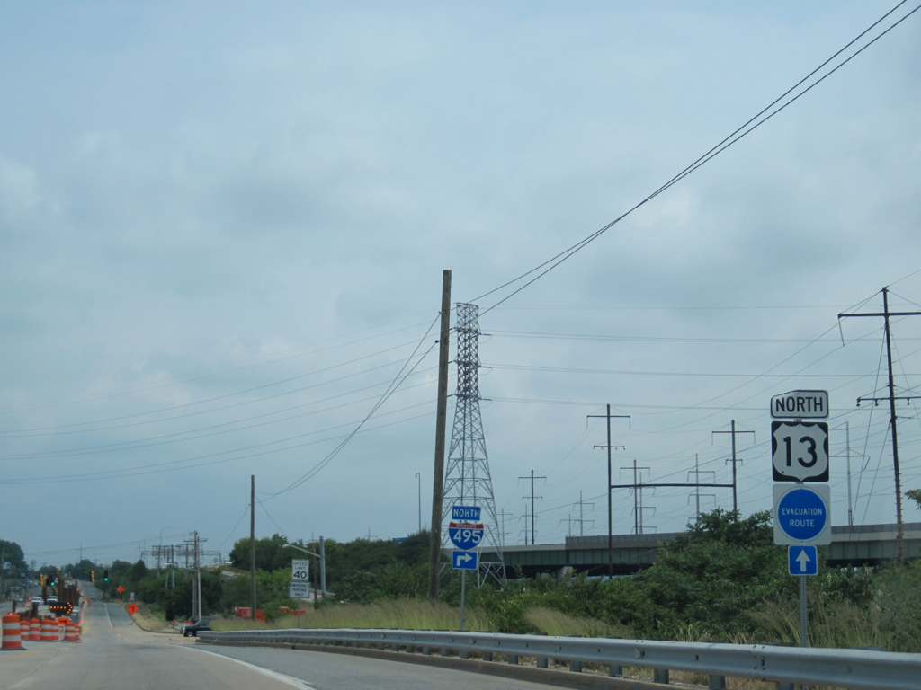
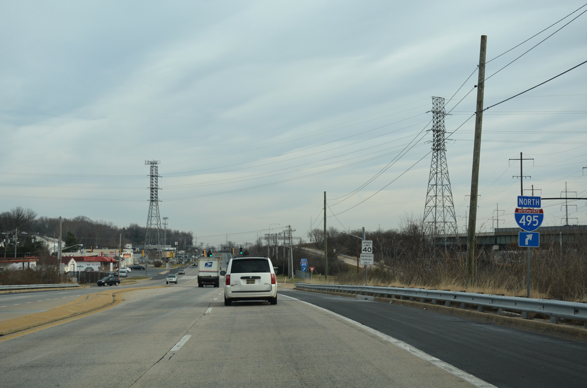
A wye interchange connects U.S. 13 (Governor Printz Boulevard) directly with Interstate 495 north opposite Stuyvesant Drive.
07/08/10
12/21/16

The exchange joining I-495 with SR 3 and U.S. 13 at Edgemoor opened to traffic in June 1989.
12/21/16
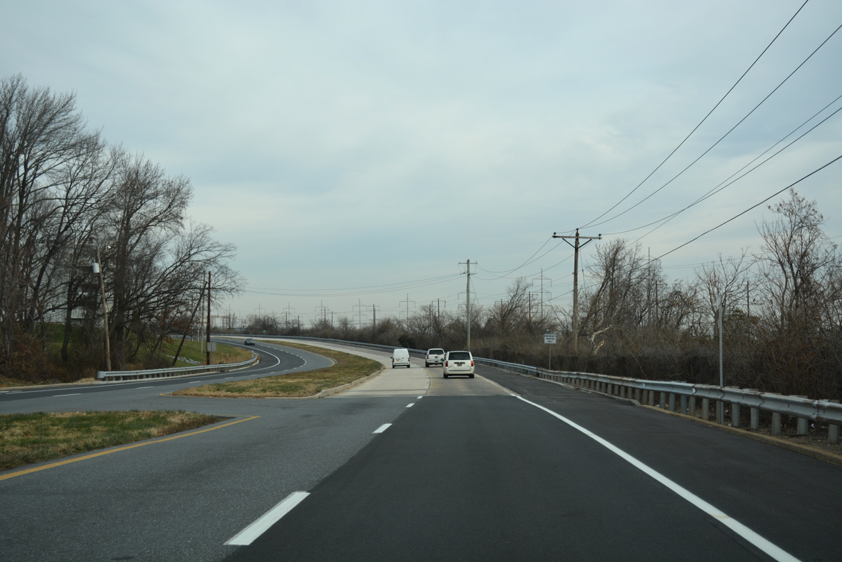
U.S. 13 (Governor Printz Boulevard) runs along the west side of Interstate 495 to Claymont with four lanes and long straight aways.
12/21/16
A reassurance marker precedes Prospect Drive west to the Village at Fox Point Apartments community along Governor Printz Boulevard northbound.
12/21/16
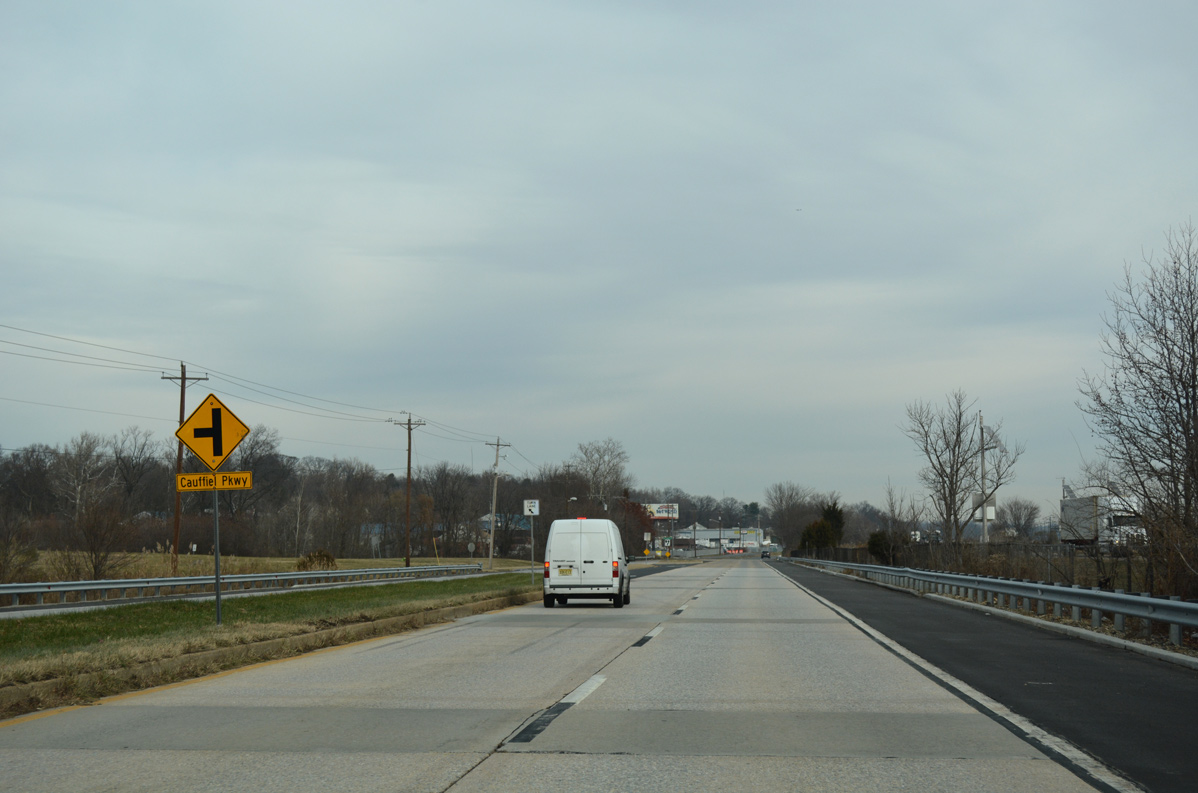
U.S. 13 northbound at Cauffiel Parkway. Cauffiel Parkway opened in 2000 to provide access between Governor Printz Boulevard and Philadelphia Pike (U.S. 13 Business). The two lane road winds through a tract of Bellevue State Park between the two arterials, allowing through traffic an alternative to the many residential streets that connect the two routes otherwise.
12/21/16
Reassurance marker for U.S. 13 north posted after Cauffiel Parkway at Stoney Creek.
12/18/17
U.S. 13 (Governor Printz Boulevard) north enters the Claymont community after Delaware Avenue.
12/18/17
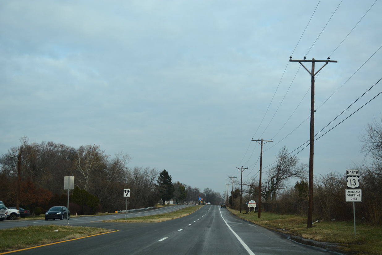
An emergency signal connects U.S. 13 with an access road to adjacent Interstate 495 by Yale Avenue.
05/15/05
U.S. 13 (Governor Printz Boulevard) turns northward at Governor Printz Boulevard Extension and Forrest Avenue toward U.S. 13 Business at Philadelphia Pike.
12/21/16
12/18/17
Governor Printz Boulevard concludes as U.S. 13 overtakes the ending U.S. 13 Business along Philadelphia Pike.
12/18/17
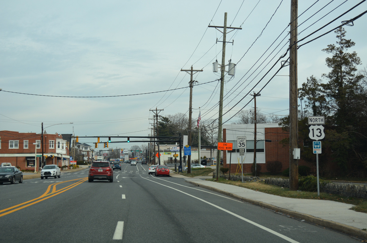
Philadelphia Pike leads U.S. 13 northeast through Claymont to Marcus Hook, Pennsylvania
12/21/16
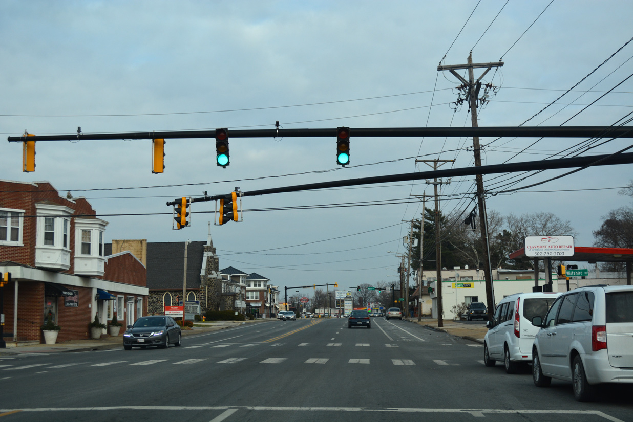
Seminole Avenue and Wiltshire Road come together at this traffic light north of Governor Printz Boulevard.
12/18/17
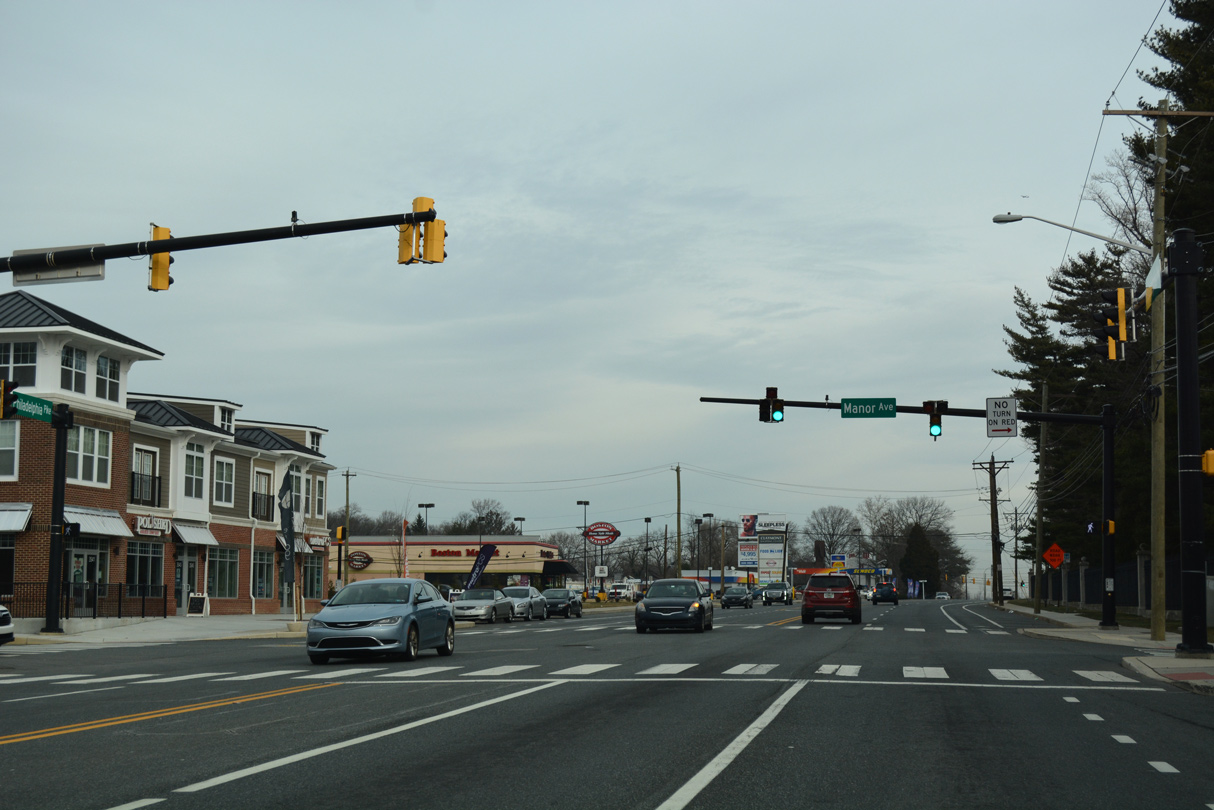
U.S. 13 north at Manor Avenue east to Archmere Academy and west to the Darley Green development.
12/21/16
Philadelphia Pike northbound at the intersection of Darley Road and Myrtle Avenue. Darley Avenue provides a through route west from U.S. 13 to SR 92 (Naamans Road). The previous SEPTA (Southeast Pennsylvania Transit Authority) Claymont Station was located at the east end of Myrtle Avenue.
12/21/16
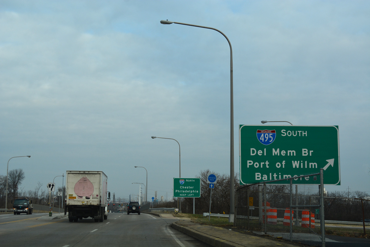
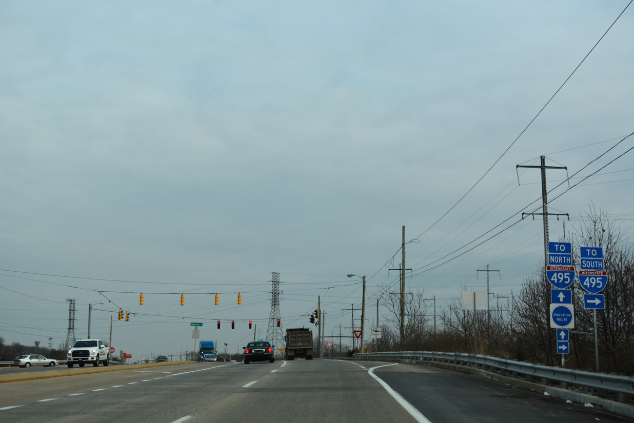
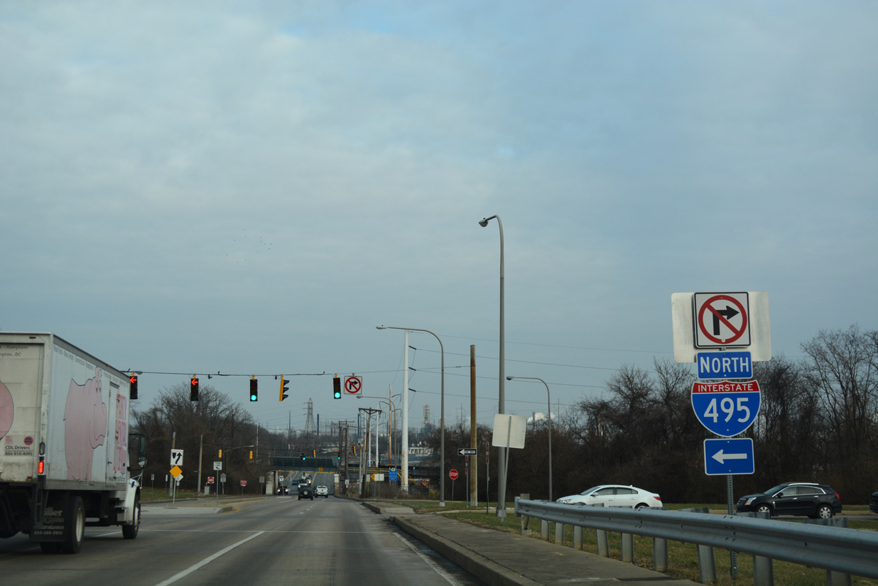
U.S. 13 enters a parclo interchange with Interstate 495 just beyond Darley Road. I-495 leads motorists back south to Edgemoor, Wilmington and New Castle.
12/18/17
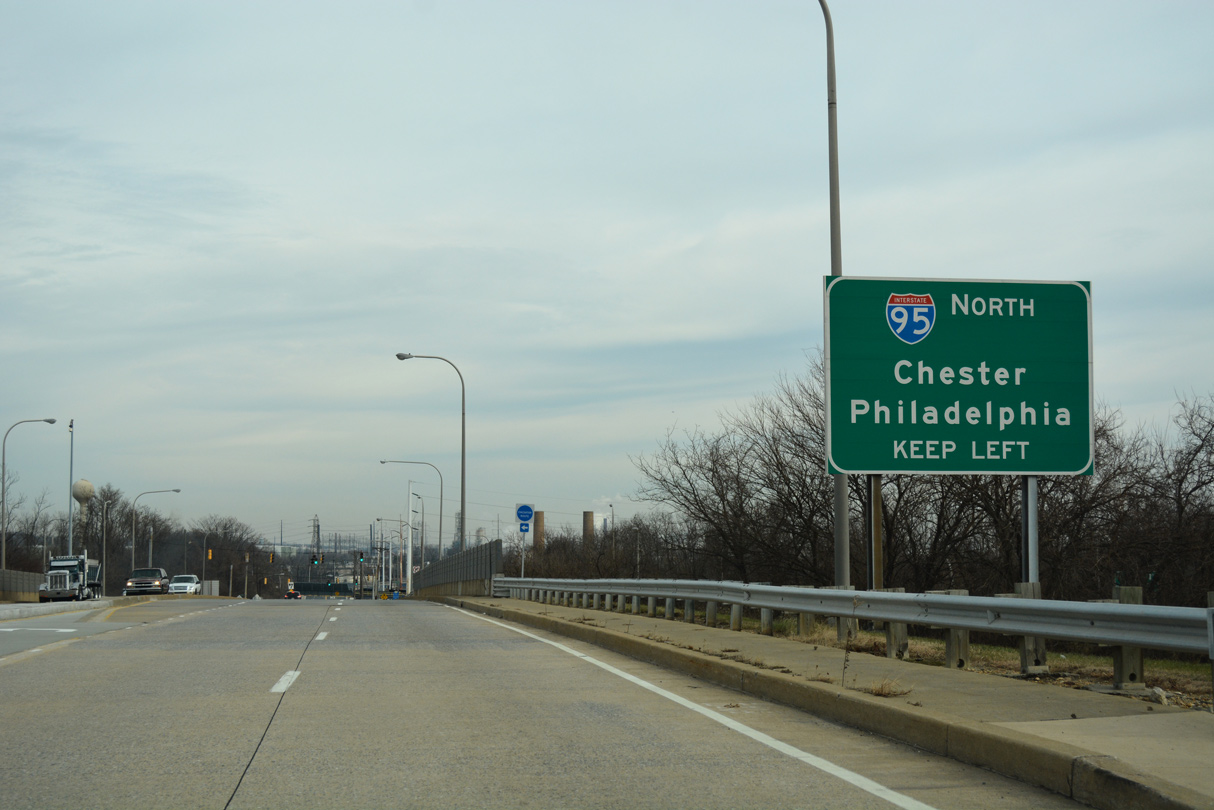
Interstate 495 north ends one half mile to the northwest of U.S. 13 (Philadelphia Pike). Traffic defaults onto Interstate 95 north toward Chester, Pennsylvania.
12/21/16
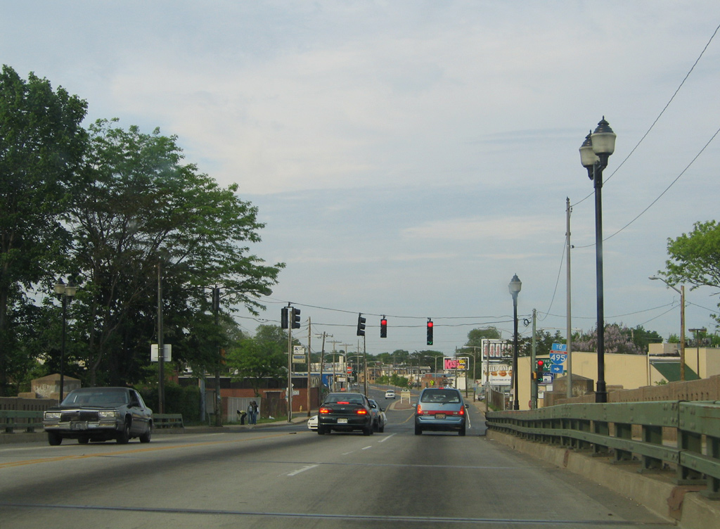
Motorists joining I-495 north will reach Interstate 476 in eight miles and the city of Philadelphia in 17 miles.
12/18/17
Alcott Avenue links U.S. 13 with the Worthland neighborhood just to the north of I-495 by Knollwood Park.
12/20/22
The First State Crossing development lines U.S. 13 (Philadelphia Pike) north between Alcott Avenue and Transit Center Drive. The site was previously the location of a Citisteel and later Evraz Claymont Steel plant.
12/20/22
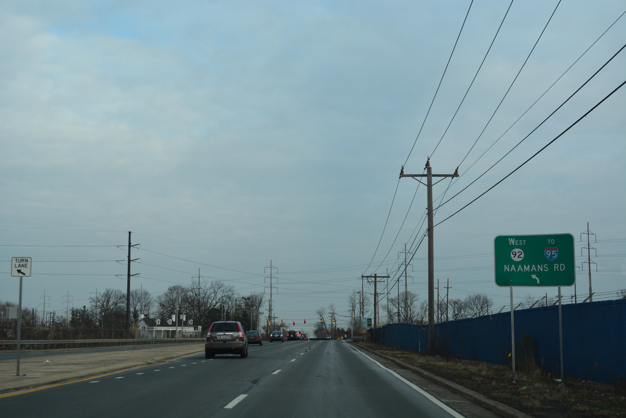
U.S. 13 north next intersects the east end of SR 92 (Naamans Road). Naamans Road constitutes an arterial route encircling northern reaches of Brandywine Hundred between Claymont and U.S. 202 (Concord Pike) by Brandywine Town Center mall.
12/18/17
SR 92 travels 8.8 miles west from U.S. 13 (Philadelphia Pike) to SR 100 at Brandywine Creek State Park near Montchanin. Naamans Road was expanded to four and six lanes during an often delayed project between 1985 and 1999.
12/20/22
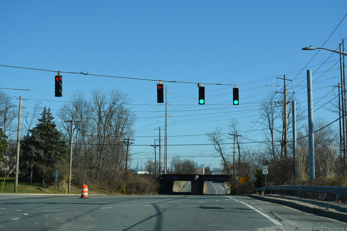
U.S. 13 crosses into Marcus Hook, Pennsylvania just beyond the AMTRAK Northeast Corridor overpass.
12/20/22
Photo Credits:
- Alex Nitzman: 07/08/10, 12/21/16, 12/18/17, 12/20/22, 12/24/25
- ABRoads: 12/18/17, 12/20/17, 12/24/25
- Alex Nitzman, Ian Ligget: 07/31/13
- Alex Nitzman, Lou Corsaro: 05/15/05
Connect with:
Page Updated Wednesday January 07, 2026.