
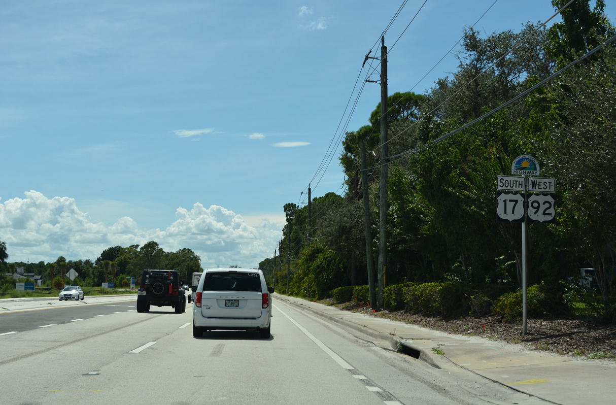
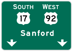
U.S. 17 South / U.S. 92 West - DeLand to DeBary

 South
South  West
West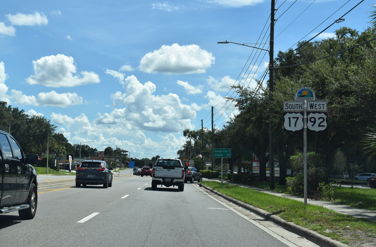
Confirming markers posted along Woodland Boulevard south by Gateway Village Shopping Center.
09/12/22
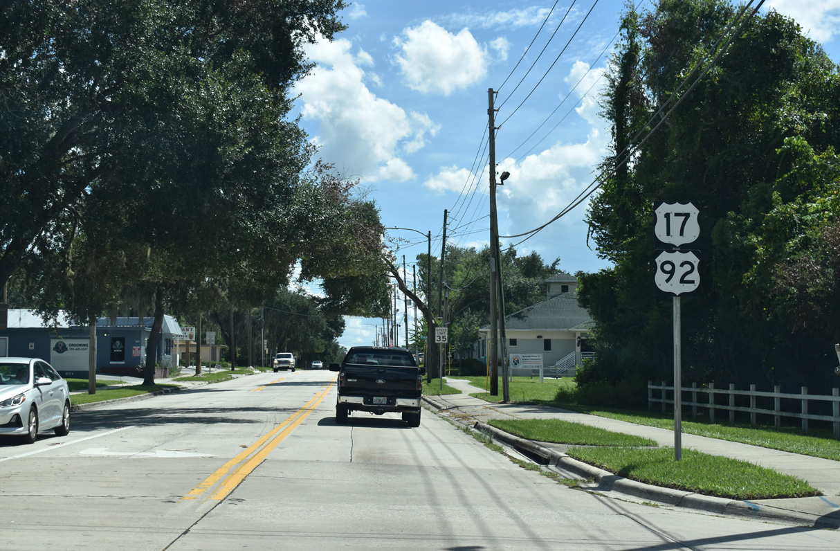
The initial stretch of the U.S. 17/92 overlap leads south from International Speedway Boulevard (CR 92) to Downtown DeLand. Locally the two routes are referred to as "17-92".
09/12/22
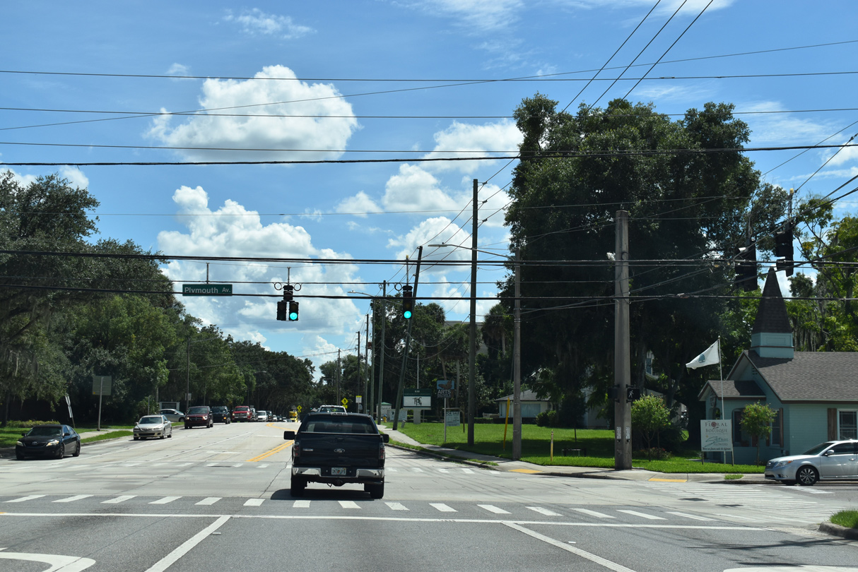
U.S. 17/92 (Woodland Boulevard) reduce to two lanes at Plymouth Avenue (unsigned CR 4092) in north DeLand. Plymouth Avenue leads east to DeLand High School and west to AdventHealth Deland hospital.
09/12/22
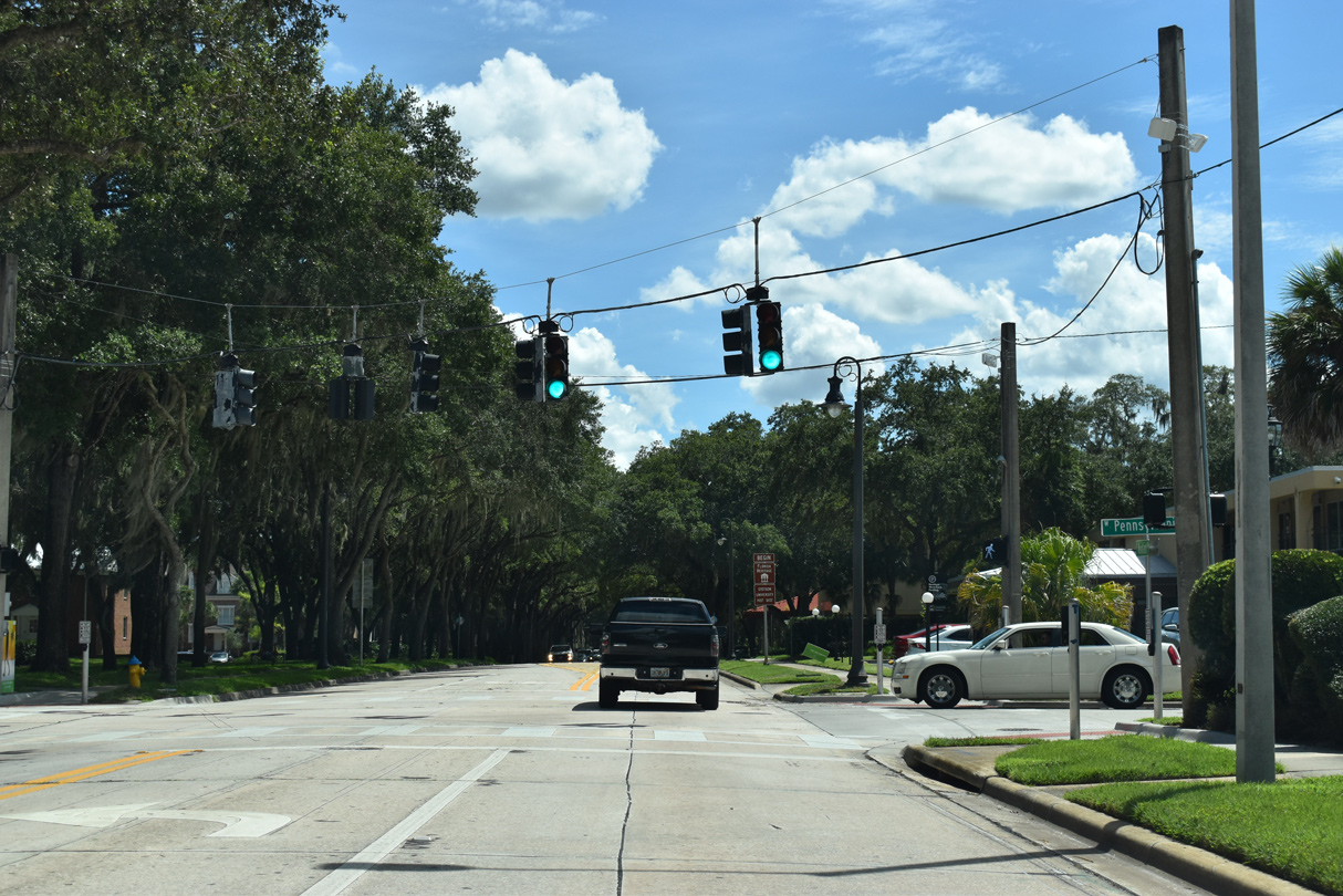
Woodland Boulevard passes through the campus of Stetson University between Pennsylvania Avenue and historic Downtown DeLand.
09/12/22
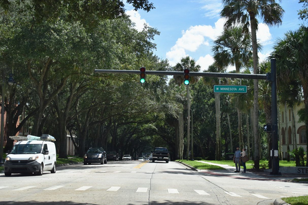
Minnesota Avenue (unsigned CR 4094) intersects U.S. 17/92 at Stetson University from the west.
09/12/22
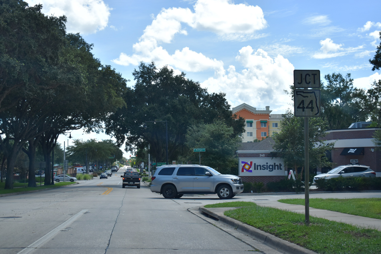
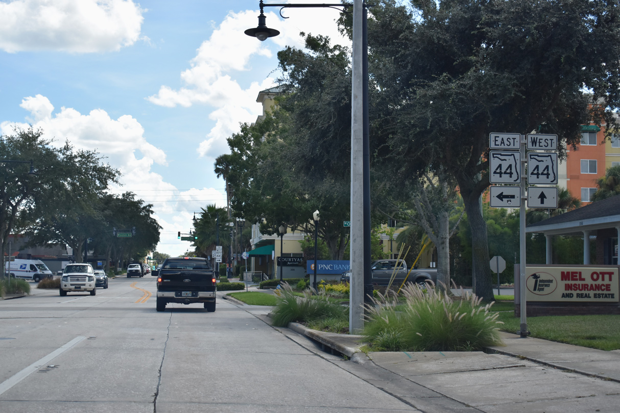
Advancing toward Downtown DeLand, traffic to SR 44 separates from Woodland Boulevard five blocks ahead of New York Avenue. This is due to the restriction of left turns at the U.S. 17/92 and SR 44 intersection.
09/12/22
E Ohio Avenue two blocks to N Amellia Avenue south four blocks links U.S. 17/92 south with SR 44 east to New Smyrna Beach.
09/12/22
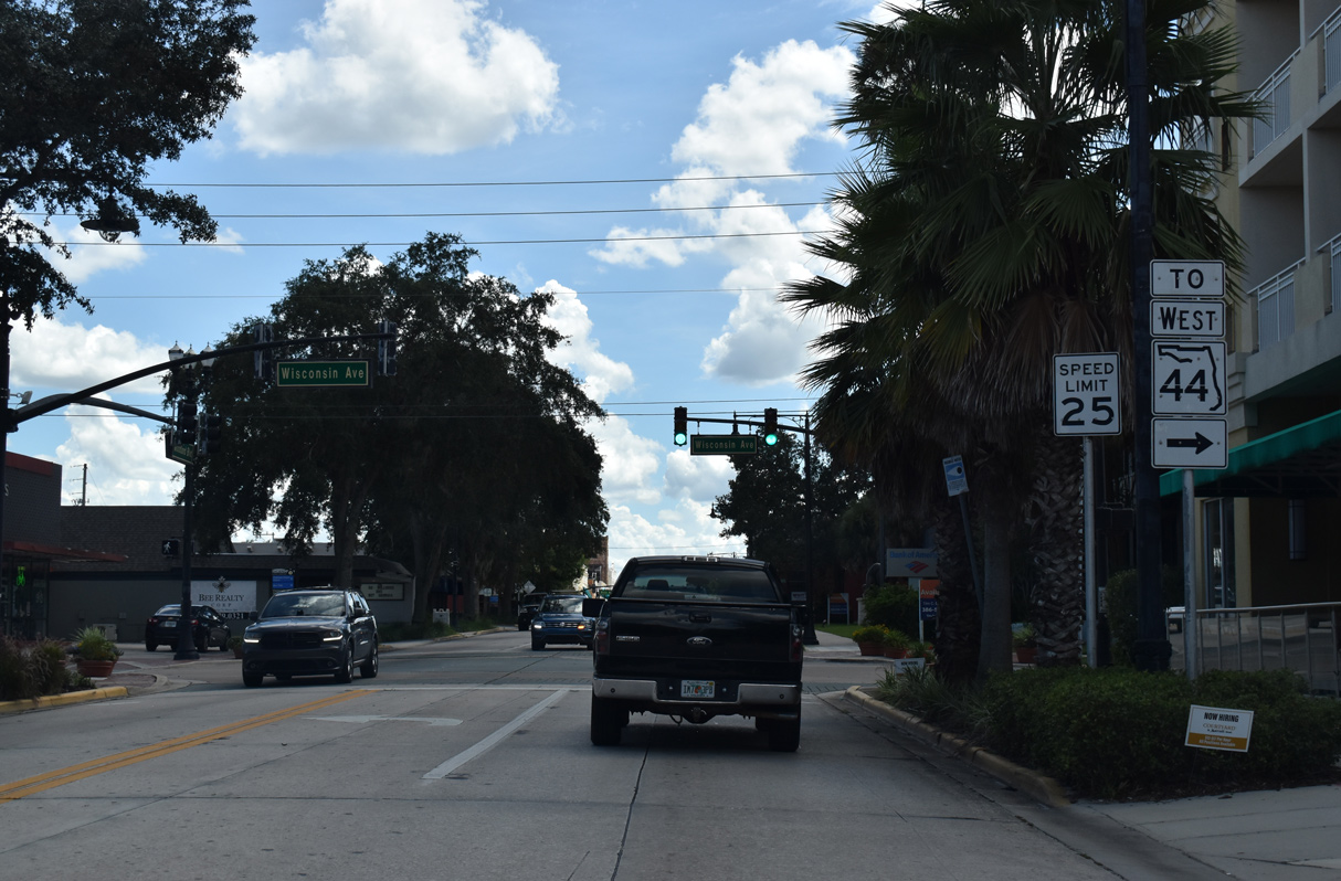
The westbound connection to SR 44 from U.S. 17/92 south is made via W Wisconsin Avenue and N Clara Avenue south.
09/12/22
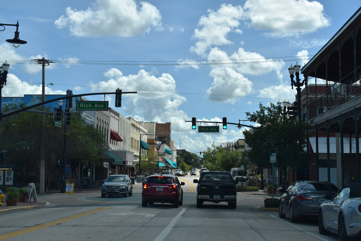
Entering historic Downtown DeLand, U.S. 17/92 (Woodland Boulevard) intersect Rich Avenue.
09/12/22
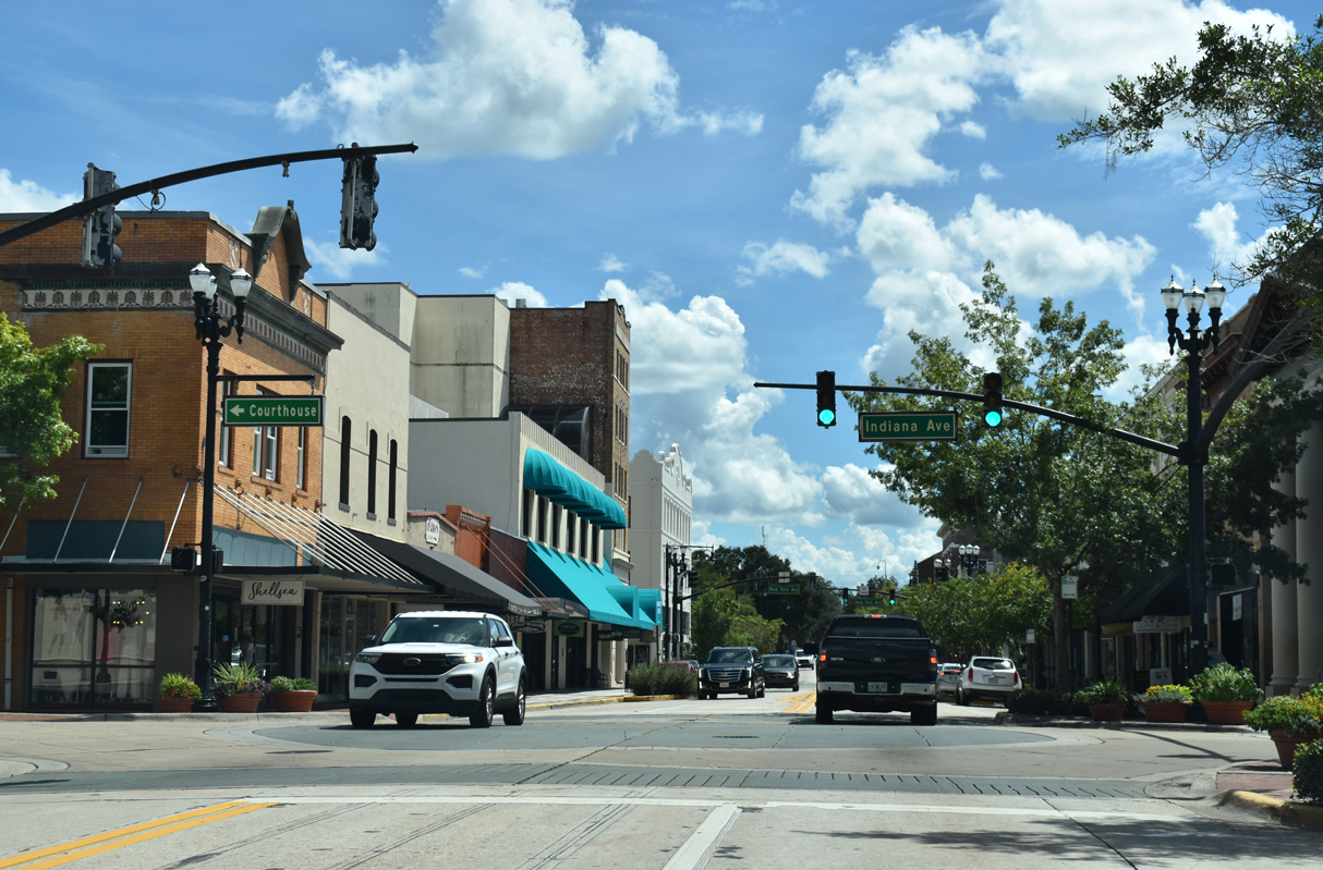
Woodland Boulevard south at Indiana Avenue, a short street one block west and east.
09/12/22
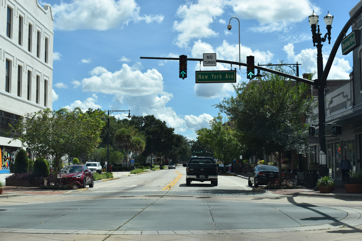
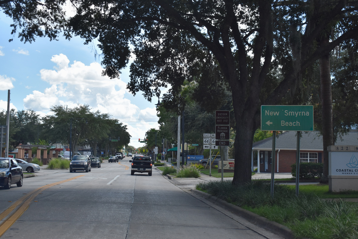
Turns are prohibited in all directions of the intersection joining U.S. 17/92 with SR 44 (New York Avenue) in Downtown DeLand.
09/12/22
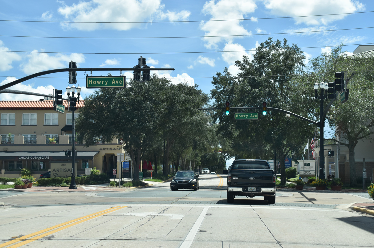
Howry Avenue provides connections from SR 44 (New York Avenue) to U.S. 17/92 (Woodland Boulevard).
09/12/22
U.S. 17 south / U.S. 92 west reassurance shields posted after Howry Avenue and SR 44.
09/12/22
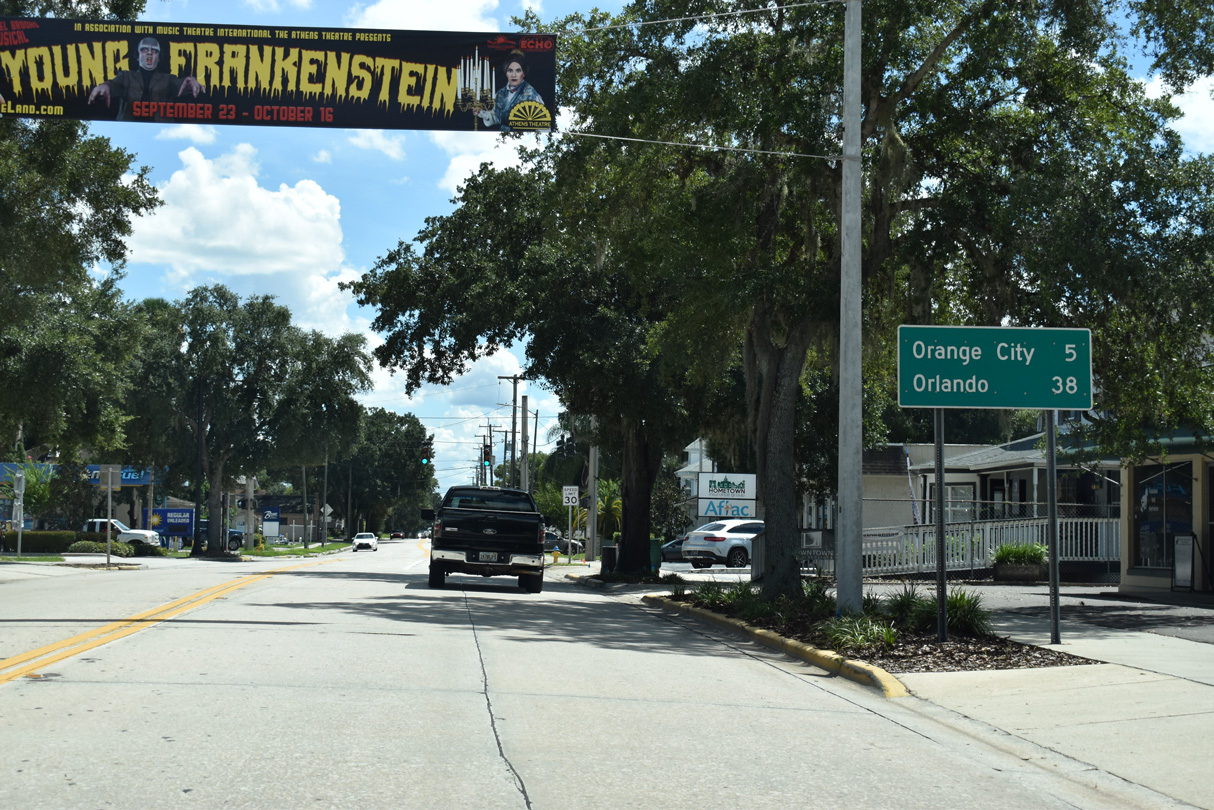
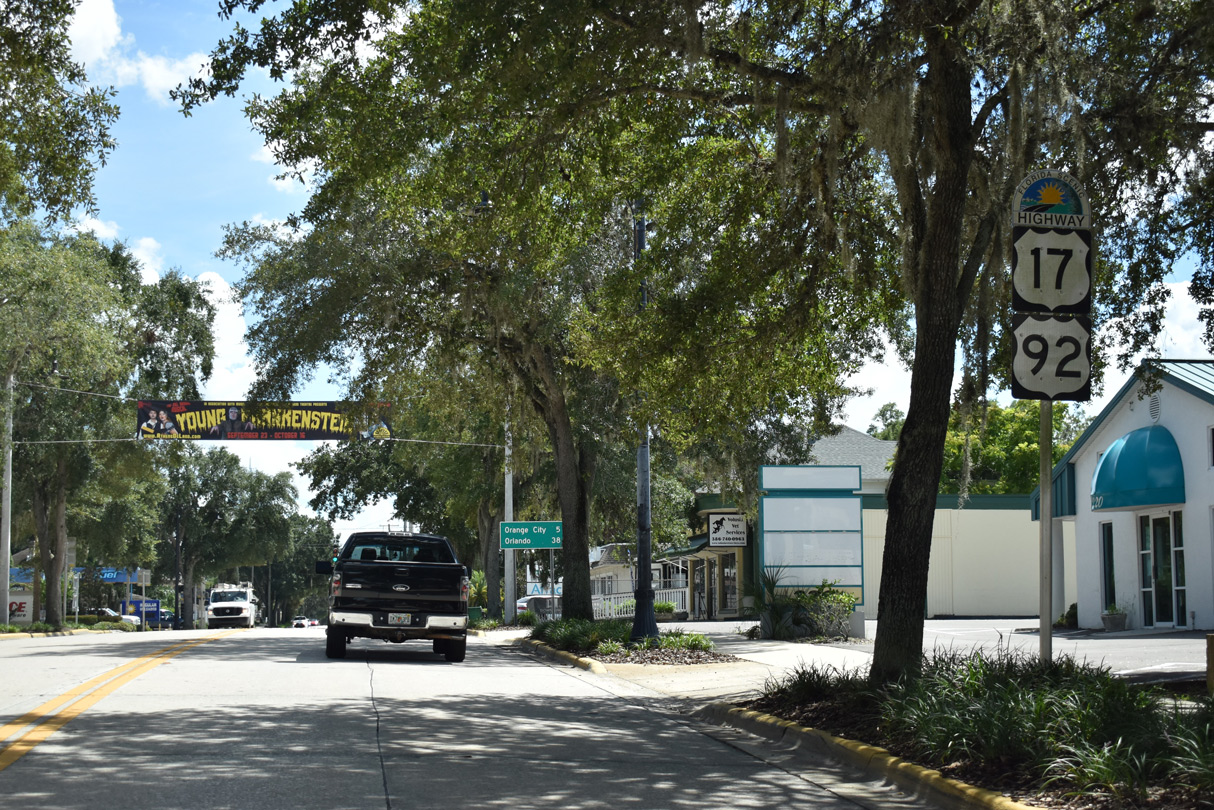
U.S. 17/92 continue five miles south to central Orange City from Downtown DeLand.
09/12/22
Unsigned CR 4106 follows Voorhis Avenue east from Woodland Boulevard 2.37 miles to SR 44 (E New York Avenue) in east DeLand.
09/12/22
U.S. 17/92 shield assembly posted south of Euclid Avenue (CR 4108) and across from Conrad Park.
09/12/22
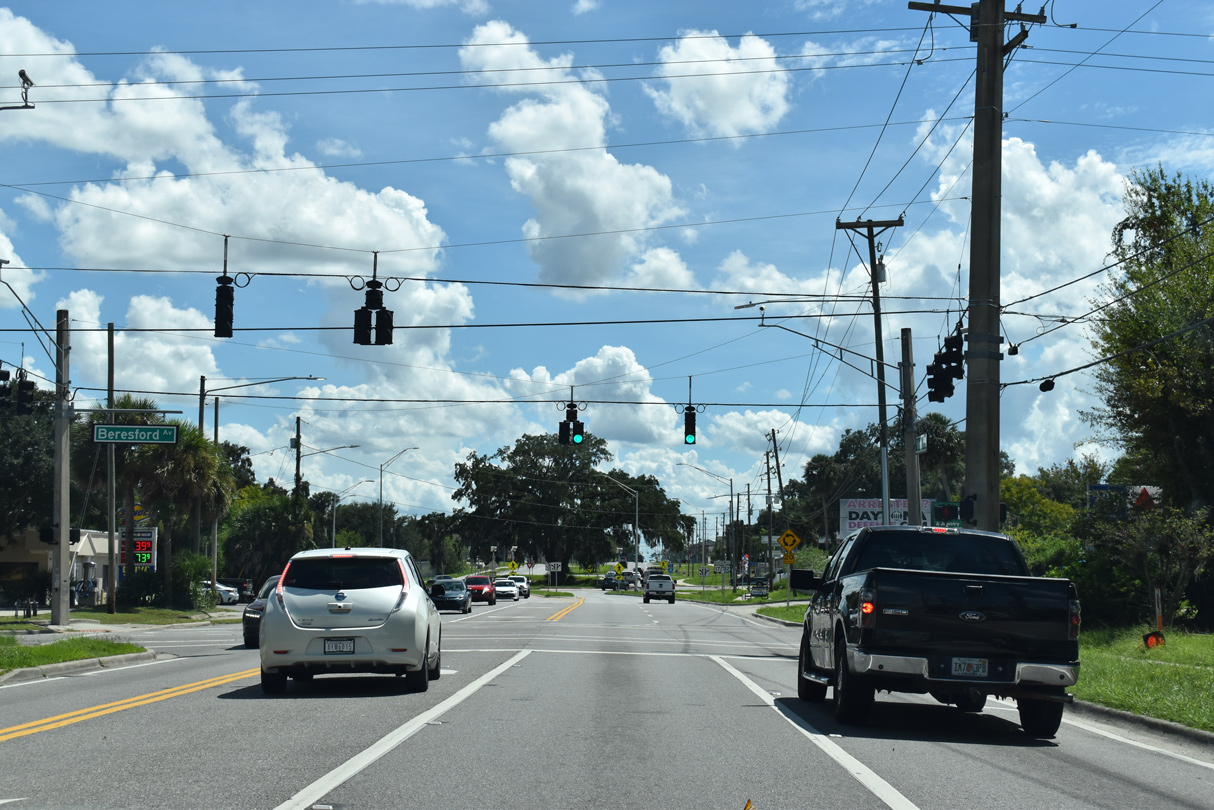
Beresford Avenue (unsigned CR 4112) intersects U.S. 17/92 (Woodland Boulevard) at the succeeding traffic light one block west of Earl Brown Park.
09/12/22
A roundabout was constructed at W Haven Road and the entrance to Marylois Plaza built along the east side of U.S. 17/92 in 2017/18. Costs for the project were funded by the developer.1
09/12/22

South from W Haven Road, U.S. 17/92 expand into a four lane, divided arterial. The ensuing traffic light is with New Hampshire Avenue (CR 4114).
09/12/22
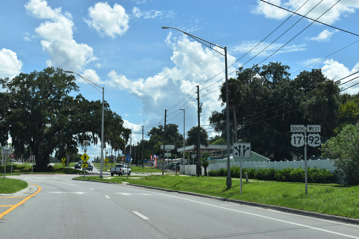
U.S. 17/92 next meet the south end of SR 15A at Taylor Road.
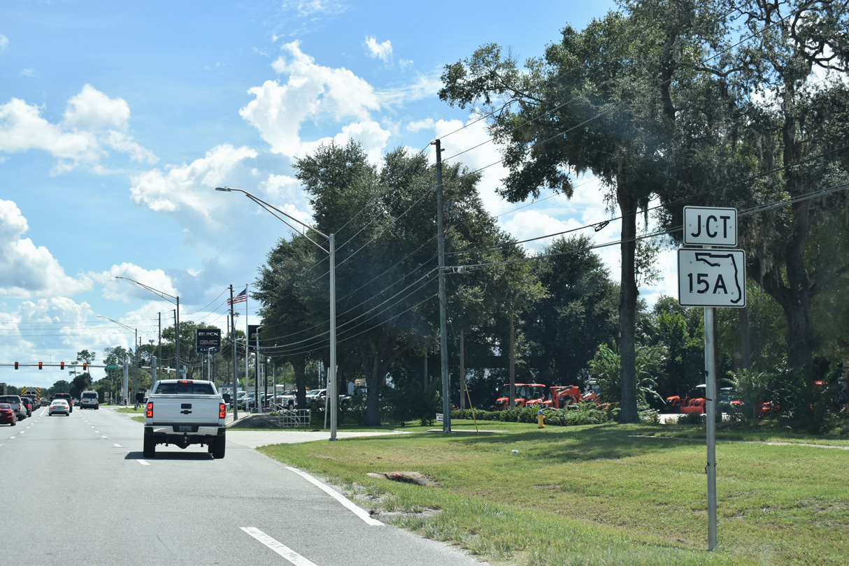
09/12/22
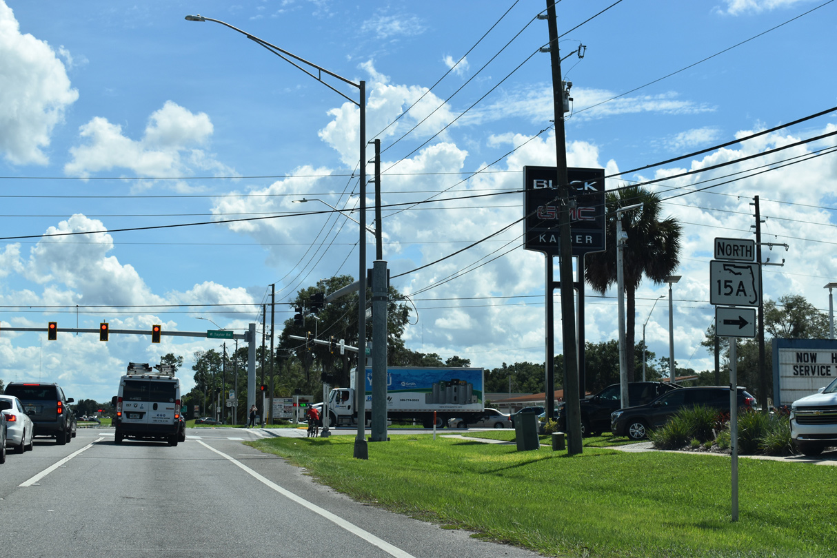
Along with CR 15A, SR 15A constitutes the truck bypass around DeLand. The 9.04 mile long loop leads north along Spring Garden Avenue to SR 44, U.S. 17 and SR 11.
09/12/22
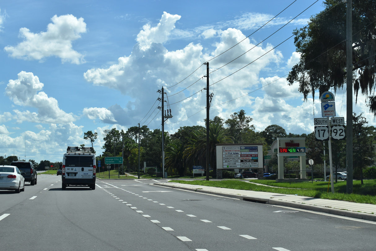
U.S. 17/92 expand into a six lane, commercial arterial south of SR 15A (Taylor Road).
09/12/22
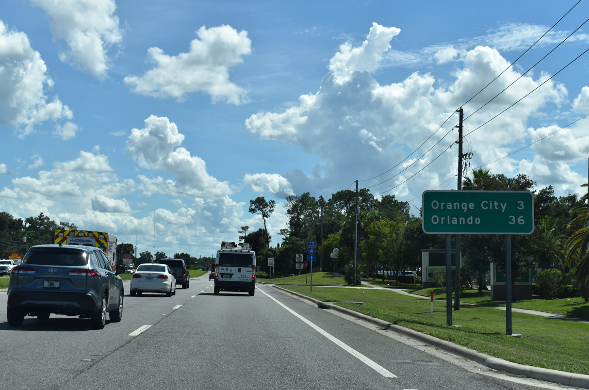
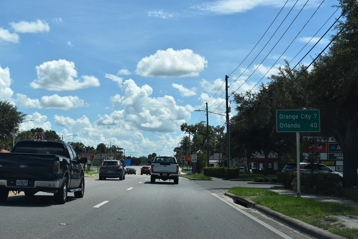
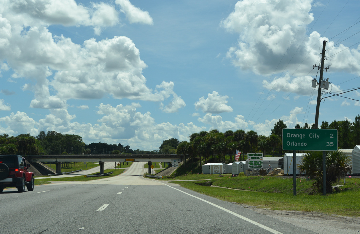
The Orange City center lies 3.4 miles south of SR 15A (Taylor Road) along U.S. 17/92. This distance sign was carbon copied and still references Orlando at 36 miles, despite U.S. 17/92 being realigned around Sanford. Orlando is 37 miles by following U.S. 17/92, or 32.5 miles via U.S. 17/92 and I-4.
09/12/22
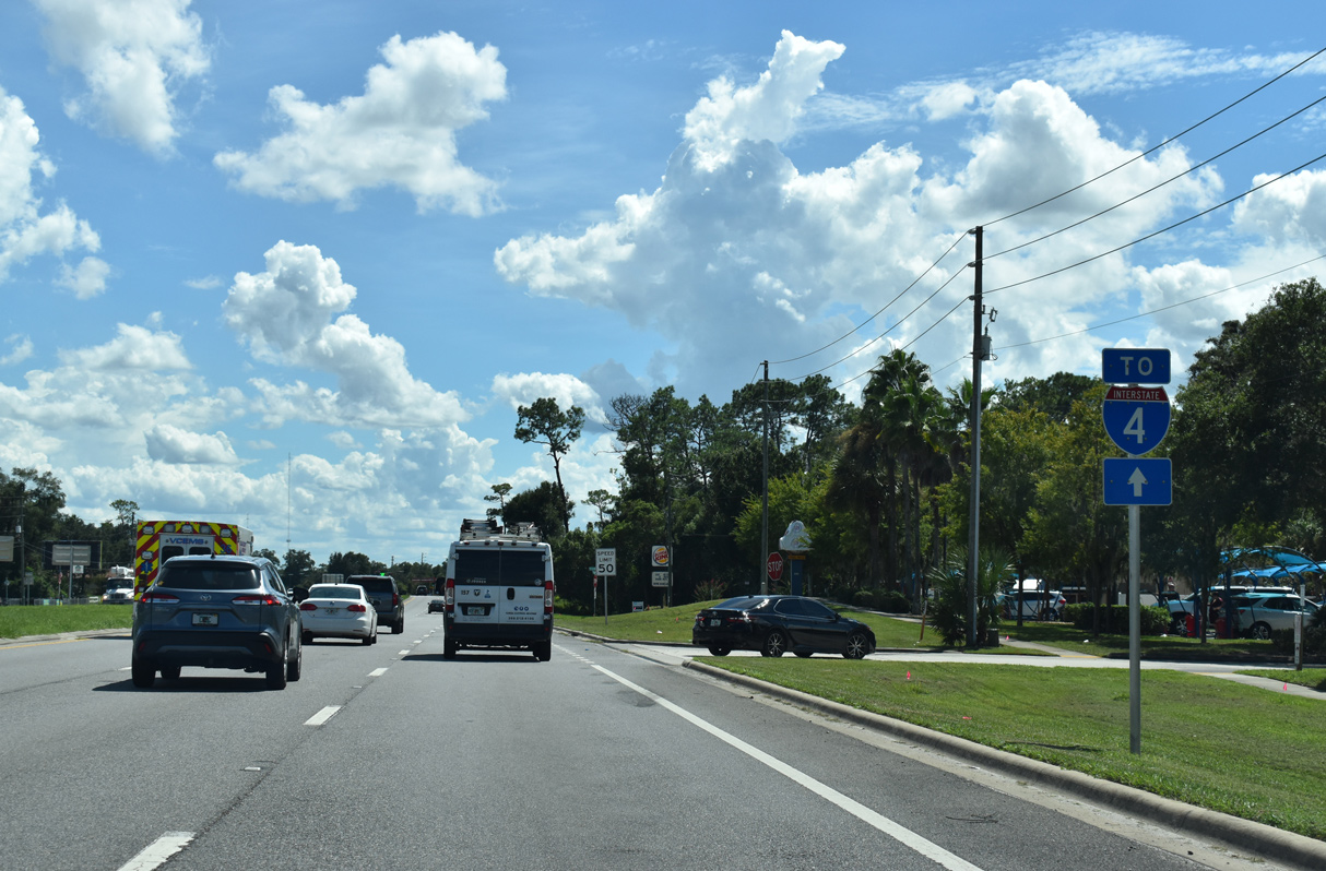
Several connections exist between U.S. 17/92 and parallel Interstate 4 to the east. Trailblazers are posted to all of the south Volusia interchanges.
09/12/22
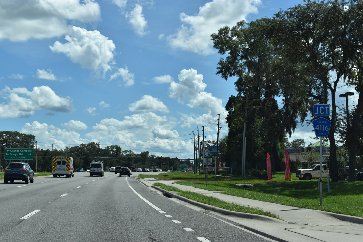
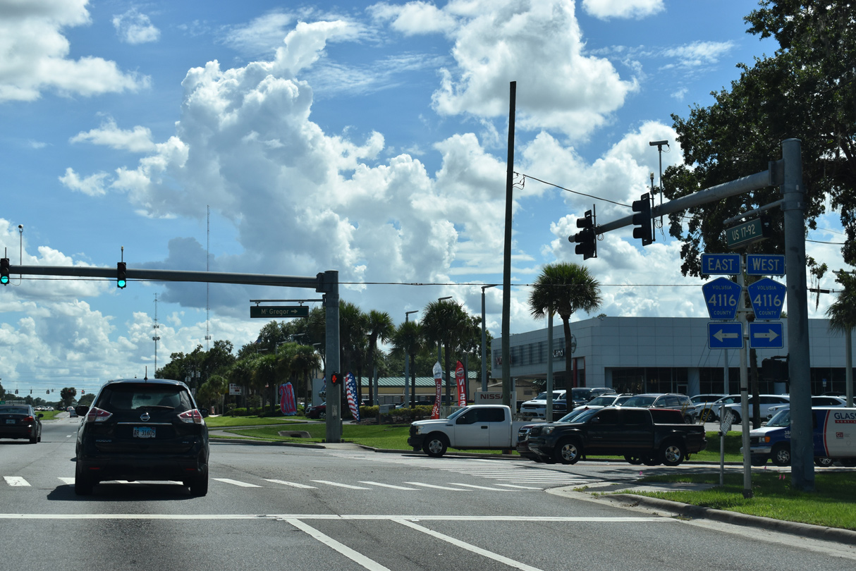
CR 4116 (McGregor Road) heads 1.43 miles east from Spring Garden Avenue near Lake Beresford to U.S. 17/92 (Woodland Boulevard) in south Deland.
09/12/22
Volusia County Road 4116 lines Orange Camp Road east 2.89 miles from U.S. 17/92 to Interstate 4 at W Main Street in the city of Lake Helen.
09/12/22
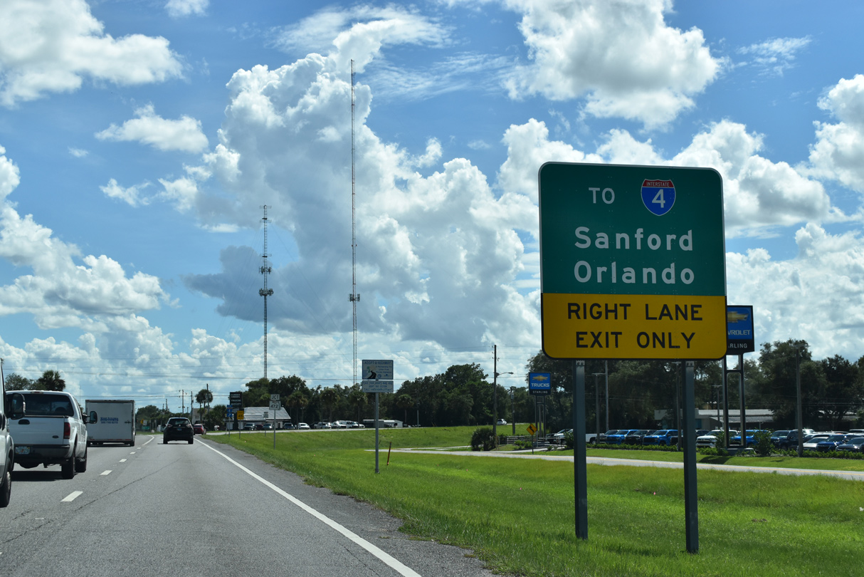
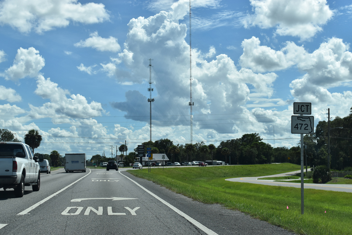
SR 472 begins at a trumpet interchange with U.S. 17/92 just south of the DeLand city limits.
09/12/22
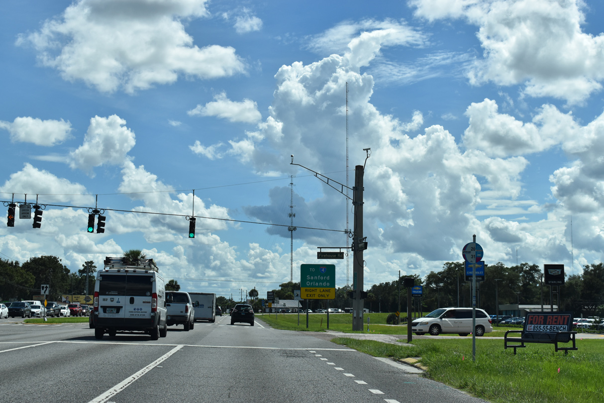
Traffic lights operate at Firehouse Road, a west side service road, and the entrance to West Volusia Regional Shopping Center.
09/12/22
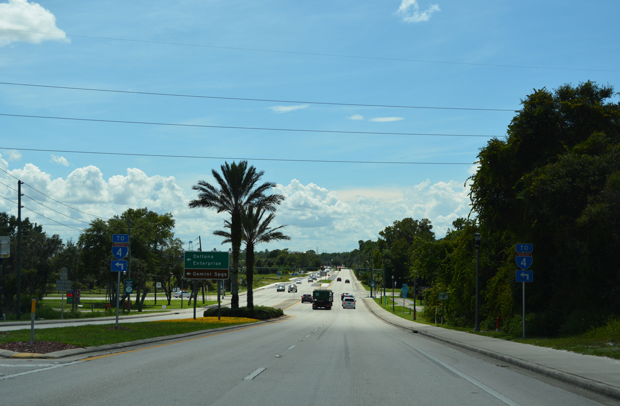
SR 472 is a controlled access arterial linking U.S. 17/92 with Interstate 4 and CR 4145 (Howland Boulevard), 3.40 miles to the southeast.
09/12/22
U.S. 17/92 remain southward two miles from SR 472 into Orange City.
09/12/22
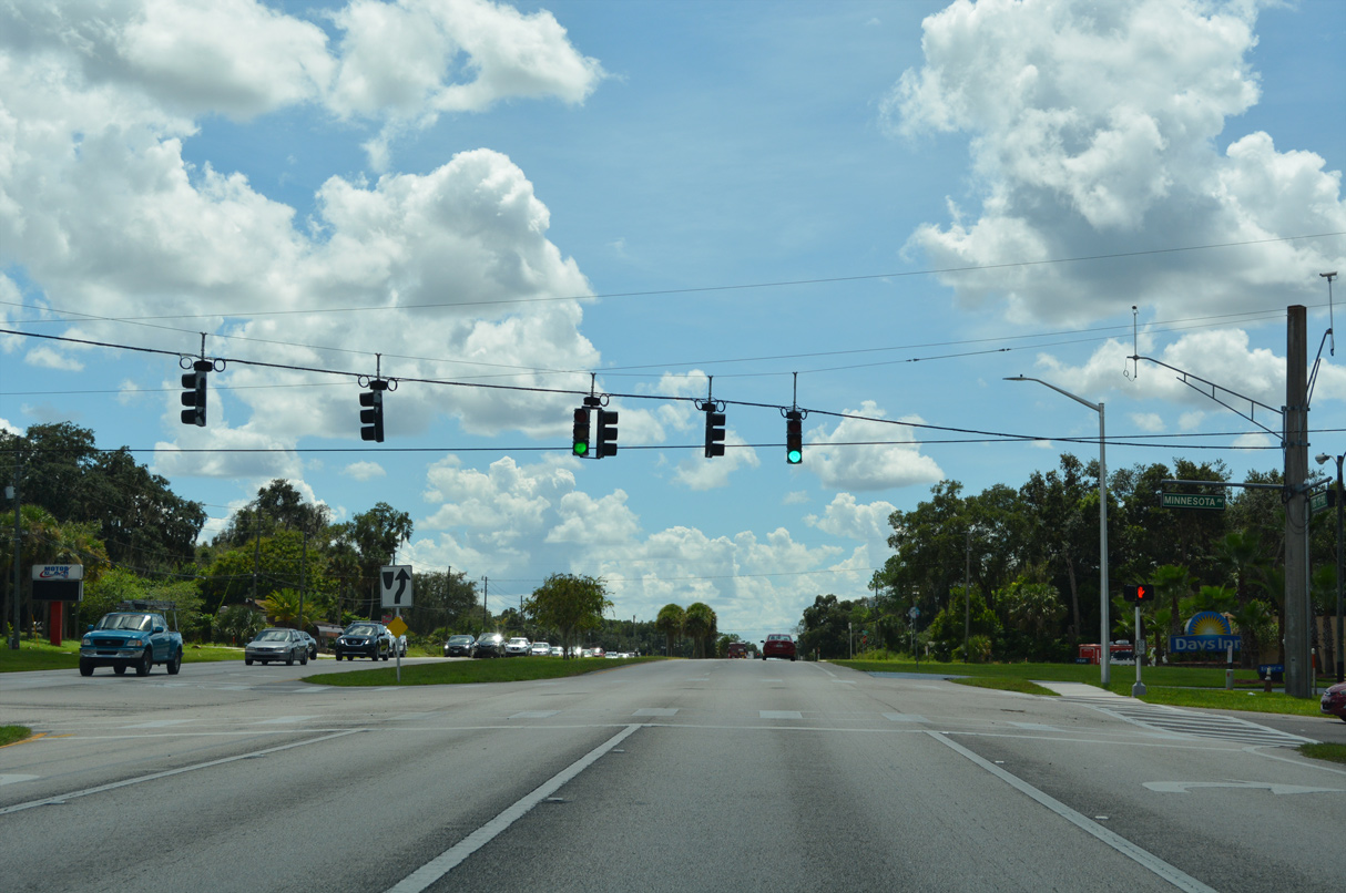
Minnesota Avenue crosses U.S. 17/92 west from SR 472 to Hamilton Avenue at the West Highlands neighborhood.
09/12/22
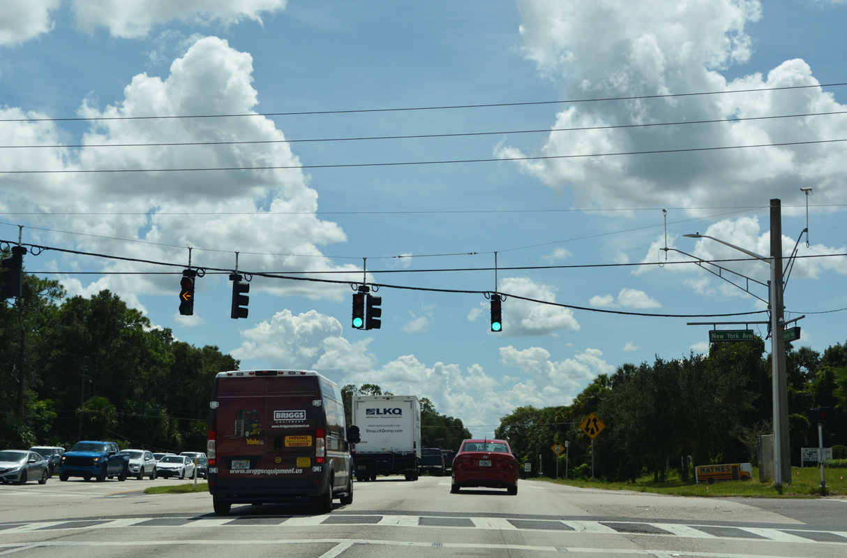
New York Avenue stems west from U.S. 17/92 at the succeeding traffic light southbound.
09/12/22
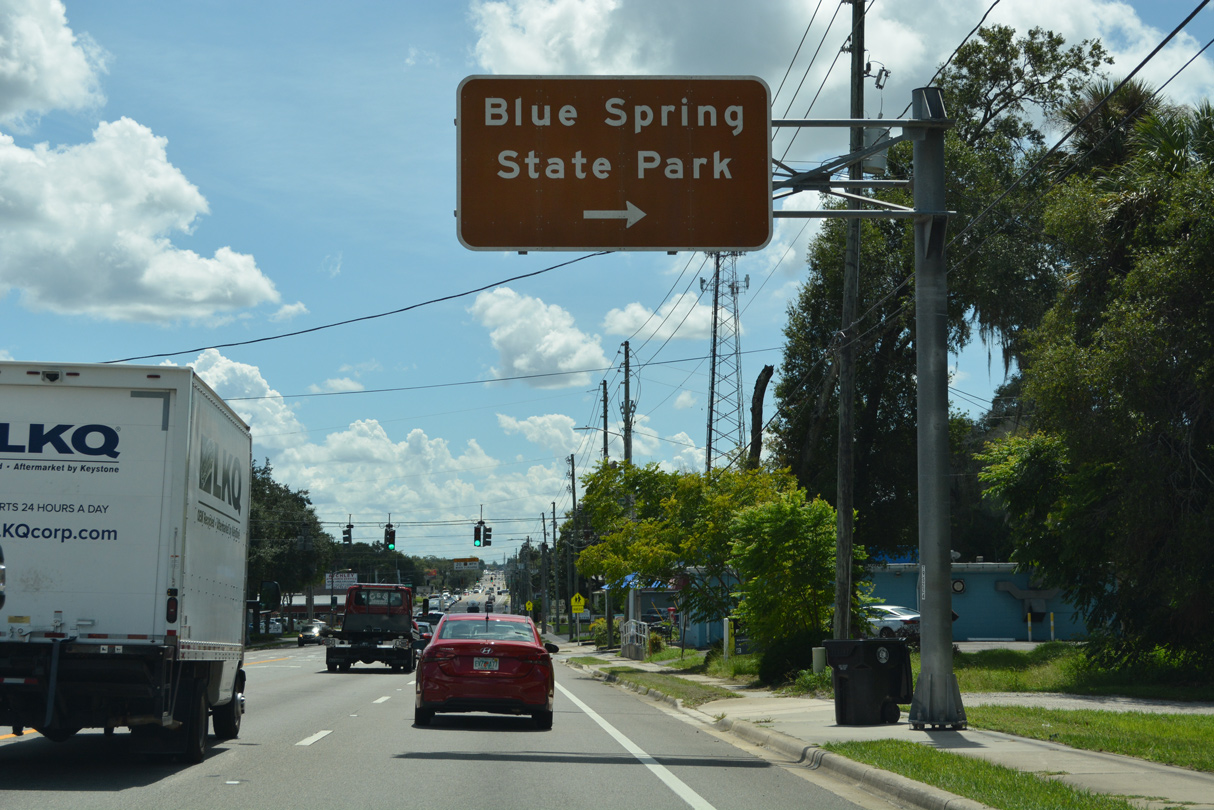
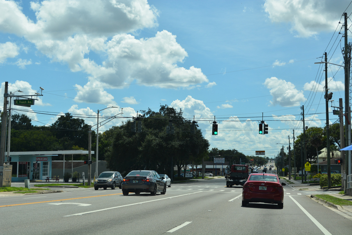
French Avenue (CR 4142) leads 2.10 miles west from U.S. 17/92 (Volusia Avenue) to Blue Spring State Park on the St. Johns River.
09/12/22
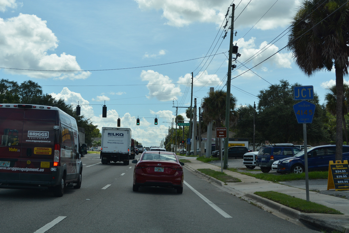
County Road 4145 follows Graves Avenue east 2.8 miles from U.S. 17/92 to Howland Boulevard in Deltona.
09/12/22

CR 4145 connects with SR 472 adjacent to a parclo interchange with Interstate 4. The county road encircles Deltona 8.64 miles southeast from SR 472 along Howland Boulevard to SR 415.
09/12/22
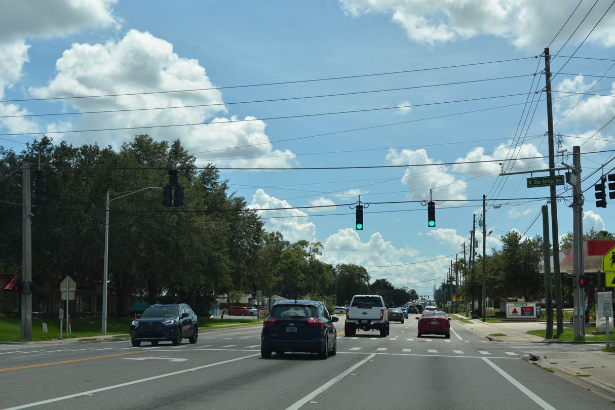
Blue Springs Avenue intersects U.S. 17/92 (Volusia Avenue) a half mile south of the Orange City center at Graves Avenue (CR 4145).
09/12/22
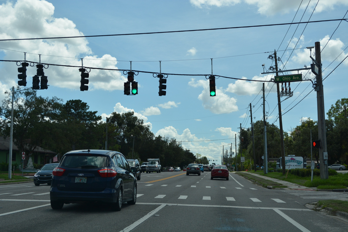
Ohio Avenue is one of several state named streets in Orange City.
09/12/22
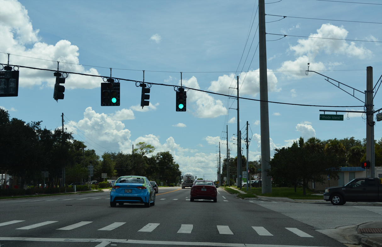
Rhode Island Avenue leads west to University High School and residential areas via Adeline Street and east from U.S. 17/92 to Veterans Memorial Parkway, a bypass route through east Orange City.
09/12/22
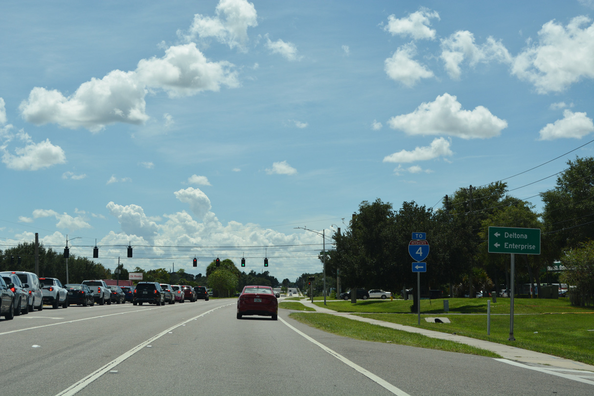
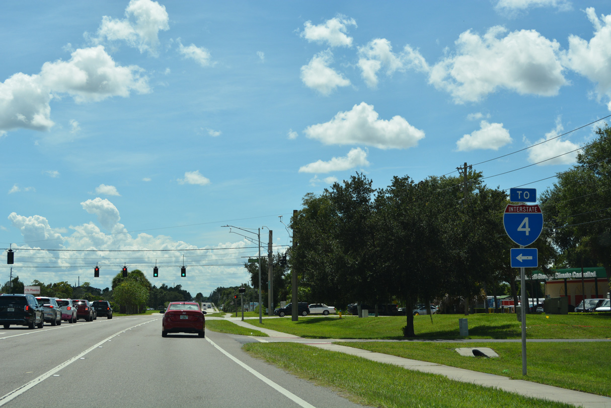
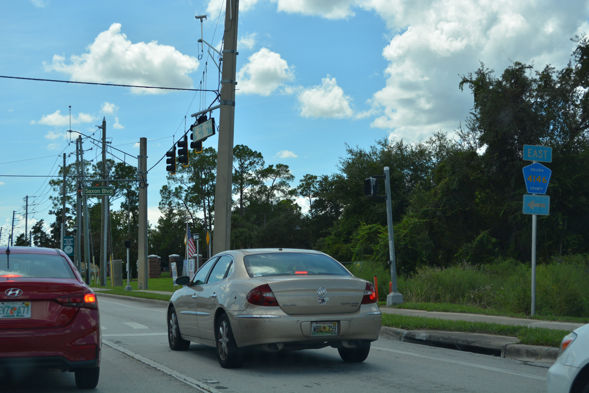
Enterprise Road (CR 4156) angles one mile southeast from U.S. 17/92 to Saxon Boulevard (CR 4146), which runs east to Interstate 4 at Exit 111.
09/12/22
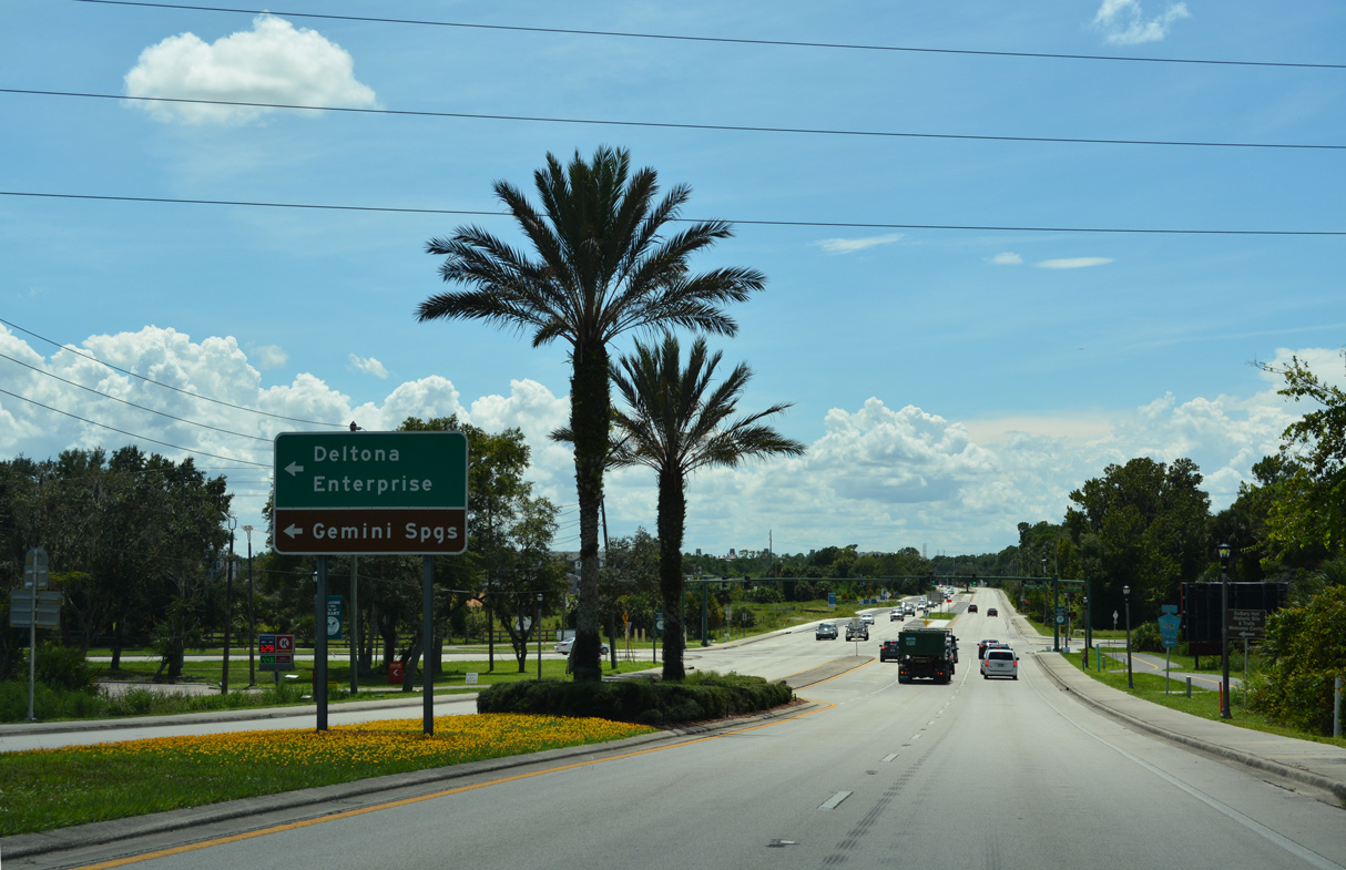
Enterprise Road (CR 4156) angles 3.80 miles southeast to CR 4162 (DeBary Avenue) outside the community of Enterprise.
09/12/22
Forthcoming CR 4146 (Saxon Boulevard) runs east from U.S. 17/92 to Interstate 4 at Exit 111.
09/12/22
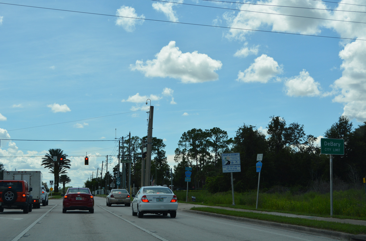
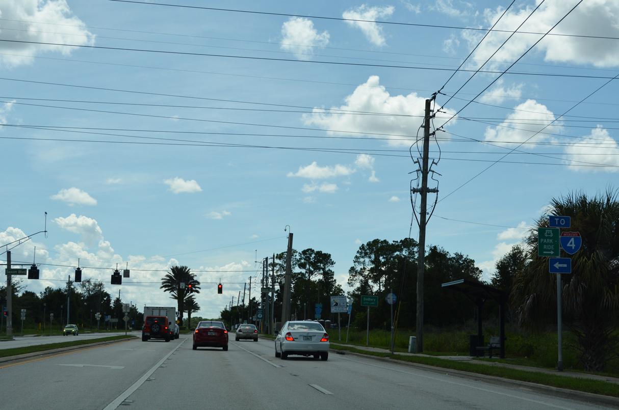
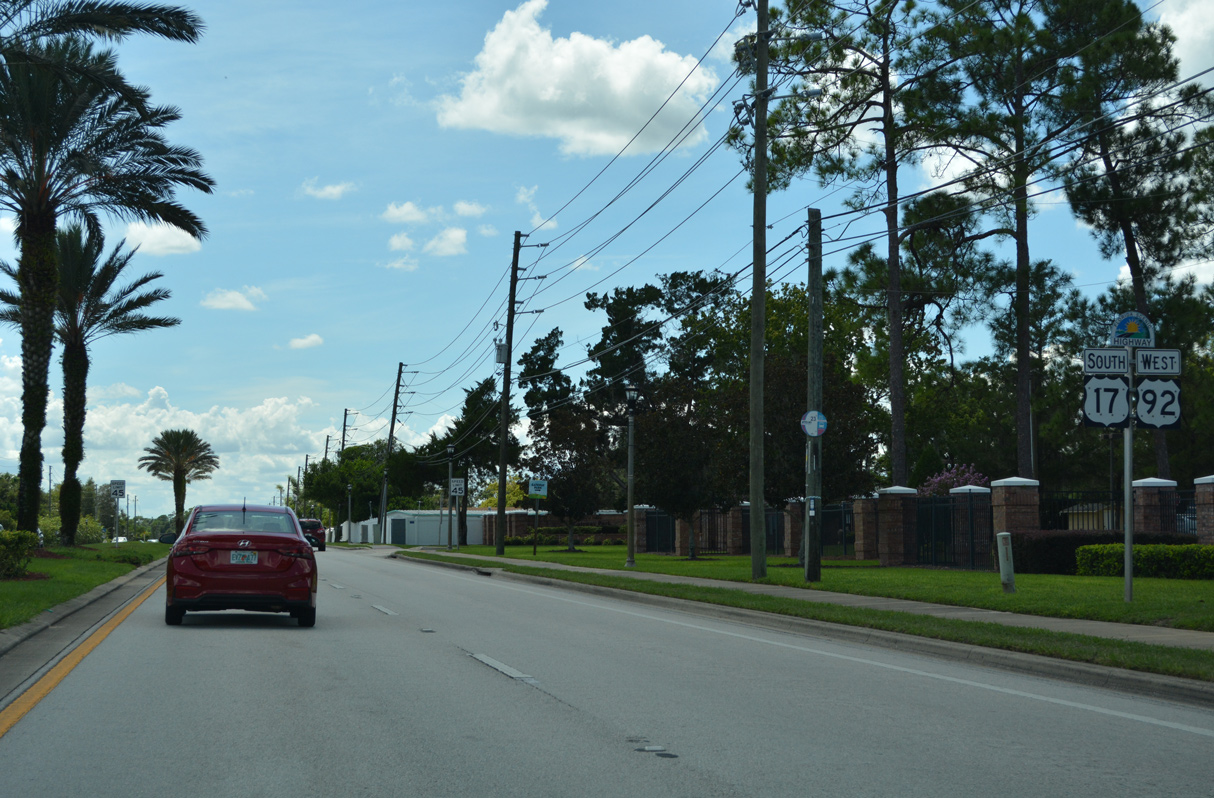
Southbound U.S. 17/92 enters the city of DeBary after Orange City.
09/12/22

Beyond I-4, CR 4146 (Saxon Boulevard) curves southeast through Deltona to CR 4162 (Doyle Road).
09/12/22
Confirming markers for U.S. 17 south / U.S. 92 west after Saxon Boulevard by Gateway Park.
09/12/22
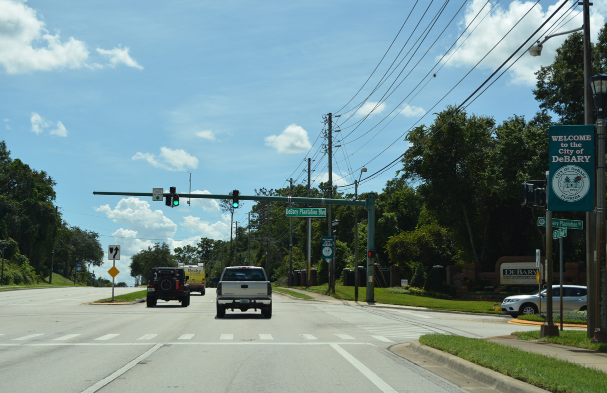
DeBary Plantation Boulevard west is the main entrance to the DeBary Plantation development, which includes DeBary Golf & Country Club.
09/12/22
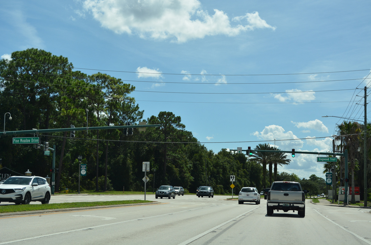
Dogwood Trail east and Pine Meadow Drive west from the Glen Abbey golf course community come together at U.S. 17/92 (Charles Beall Boulevard).
09/12/22
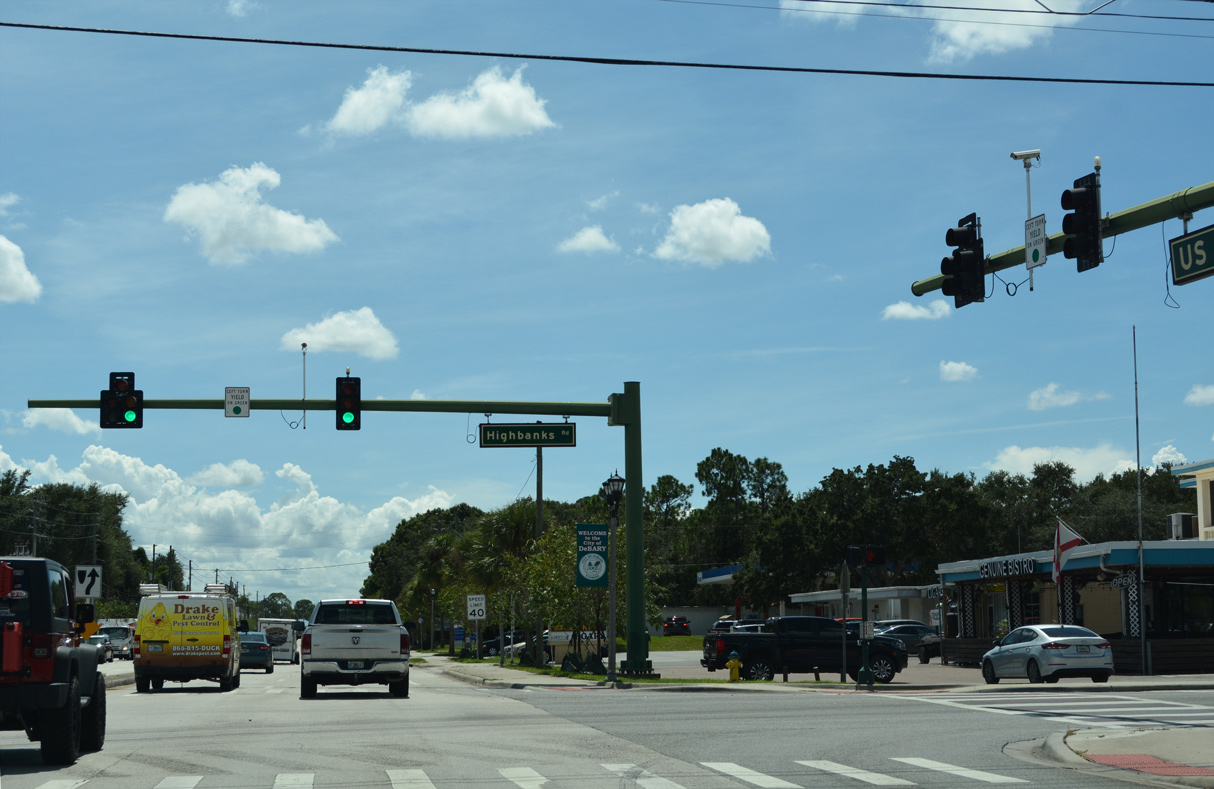
Highbanks Road (CR 4158) crosses U.S. 17/92 following Dogwood Trail. Highbanks Road extends 4.33 miles west from Enterprise Road to the St. Johns River.
09/12/22
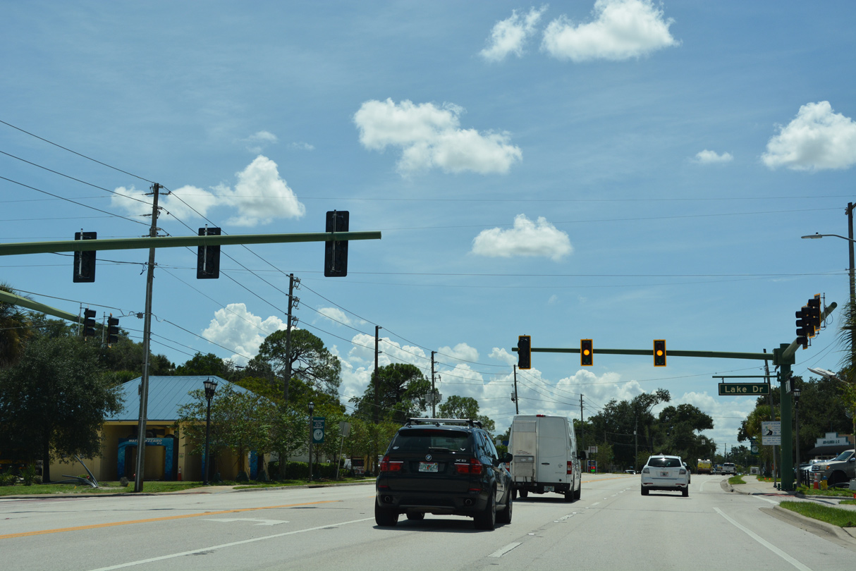
U.S. 17/92 (Charles Beall Boulevard) intersect Lake Drive west and Colomba Road east near DeBary City Hall.
09/12/22
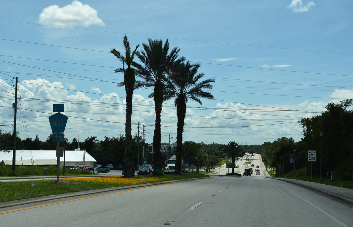
U.S. 17/92 converge with the west end of CR 4162 (Dirksen Drive) near Benson Junction in DeBary.
09/12/22
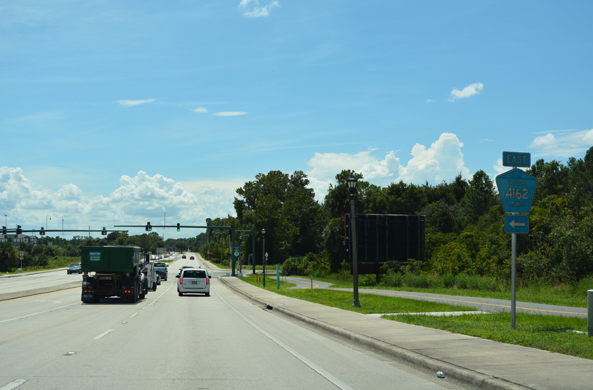
CR 4162 leads east to I-4 at Exit 108 by Lake Monroe, Enterprise, south Deltona and SR 415 at Osteen.
09/12/22
Confirming markers posted south of CR 4162 (Dirksen Drive).
09/12/22
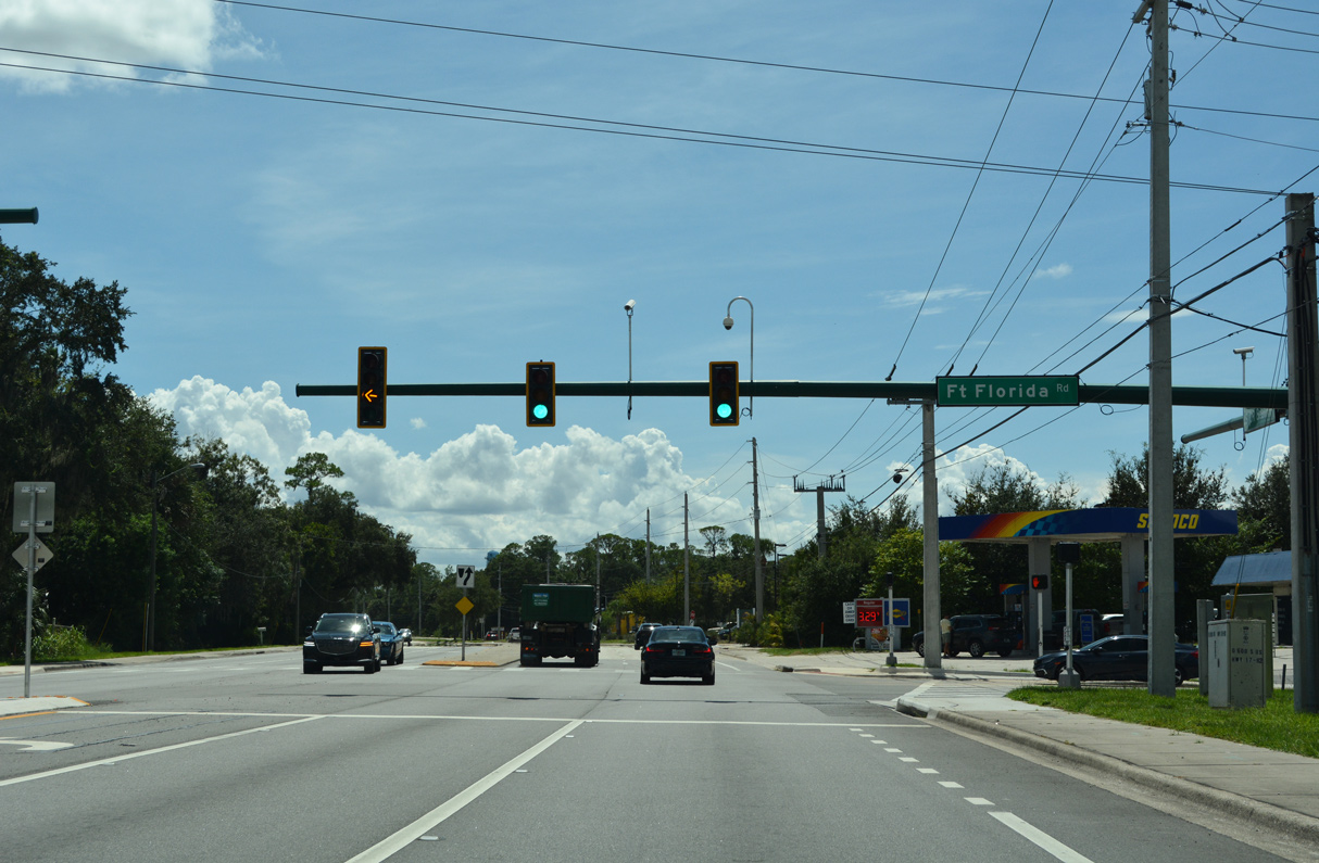
Fort Florida Road (CR 4157) encircles Konomac Lake by several newer subdivisions 4.59 miles south from Highbanks Road (CR 4158) to U.S. 17/92.
09/12/22
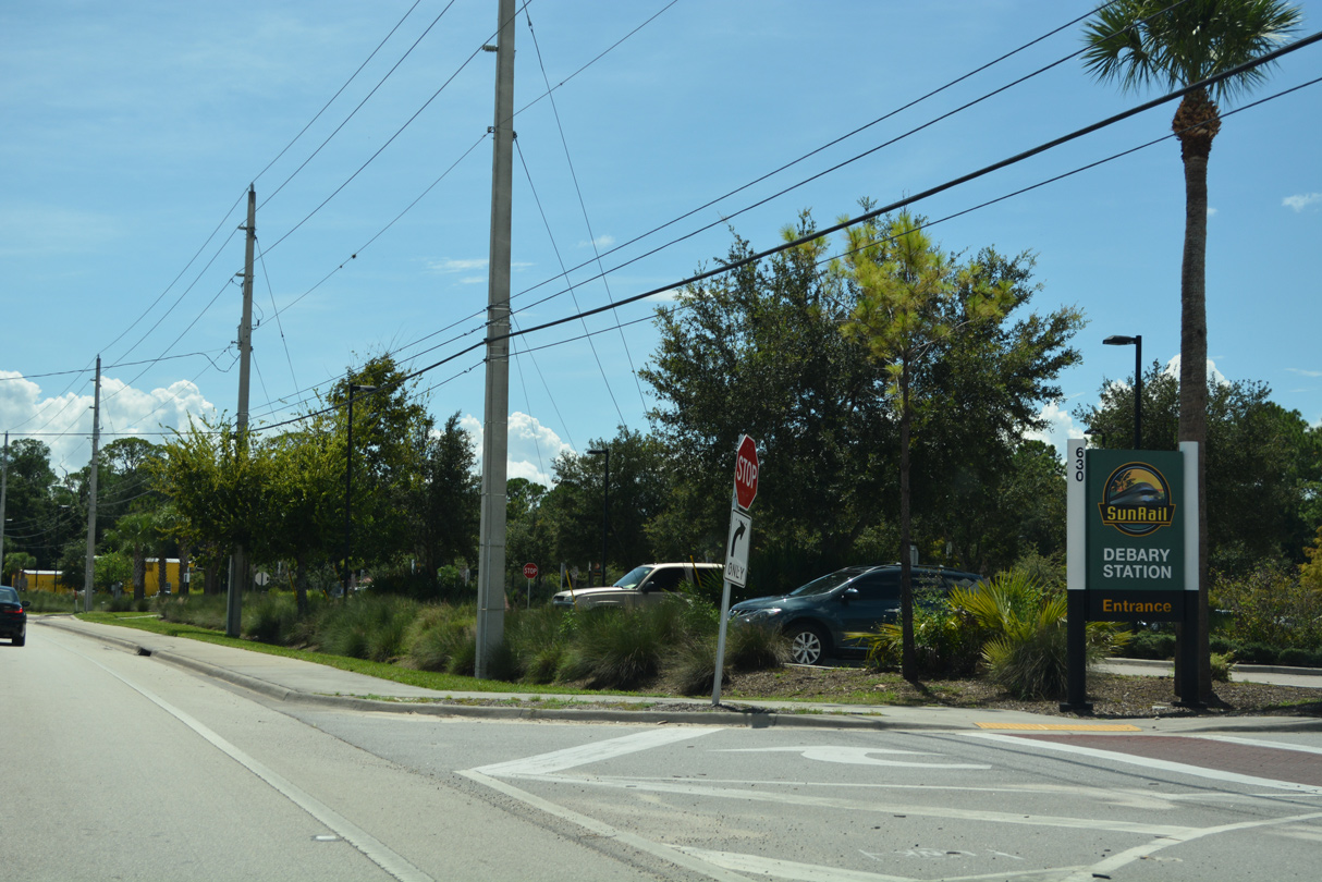
The DeBary Sunrail Station lines the west side of U.S. 17/92 after Fort Florida Road.
09/12/22
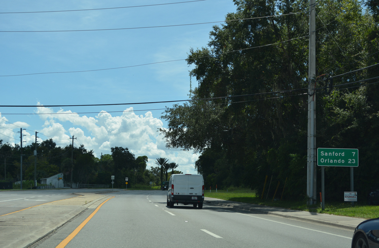
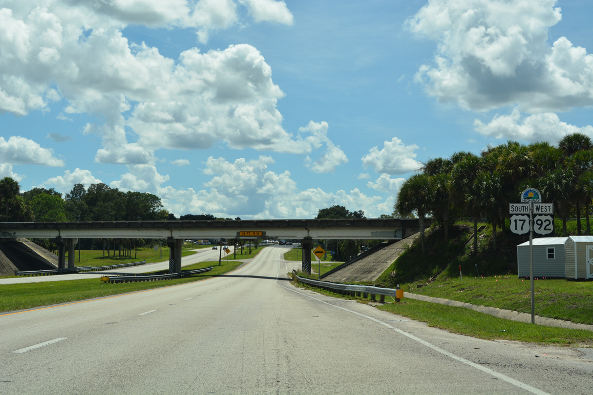
South from Barwick Road in DeBary, U.S. 17/92 continue 5.7 miles to Historic Downtown Sanford.
09/12/22
References:
- "DeLand motorists getting used to new roundabout." The Daytona Beach News-Journal (FL), March 20, 2017.
Photo Credits:
- Alex Nitzman: 09/12/22
Connect with:
Page Updated Friday November 11, 2022.