
U.S. 17 Alternate South - Walterboro to Yemassee
 South
South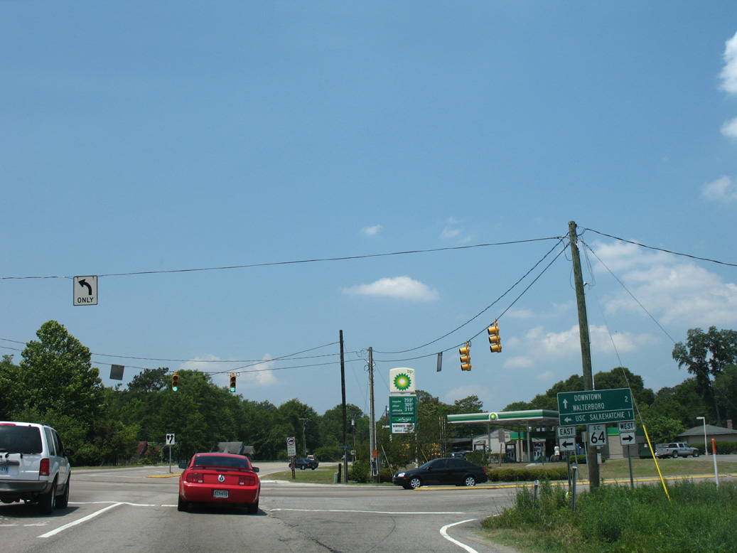
U.S. 17 ALT (Cottageville Highway) meets S.C. 64 (Robertson Boulevard) just outside the Waltersboro city limits. S.C. 64 encircles the city along an arterial bypass.
05/29/07
05/29/07
Following Wichman Street, U.S. 17 ALT navigates along an S-curve through residential areas of east Walterboro.
11/13/06
11/13/06
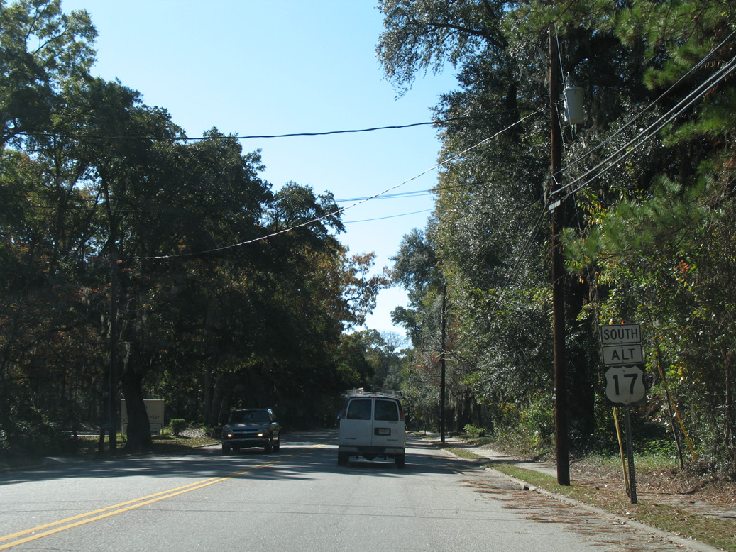
S.C. 64 Business combines with U.S. 17 ALT west at an unmarked intersection with Padgett Loop.
11/13/06
11/13/06
South  North
North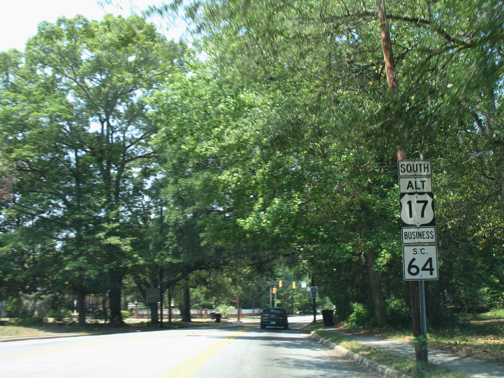
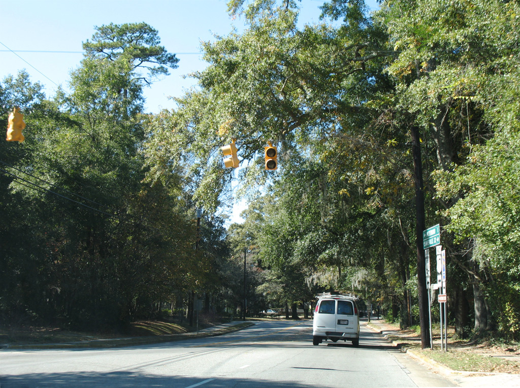
S.C. 64 Business accompanies U.S. 17 ALT (Wichman Street) west 0.59 miles to Paul Street.
05/29/07
05/29/07
Wichman Street west at Lemacks Street.
11/13/06
11/13/06
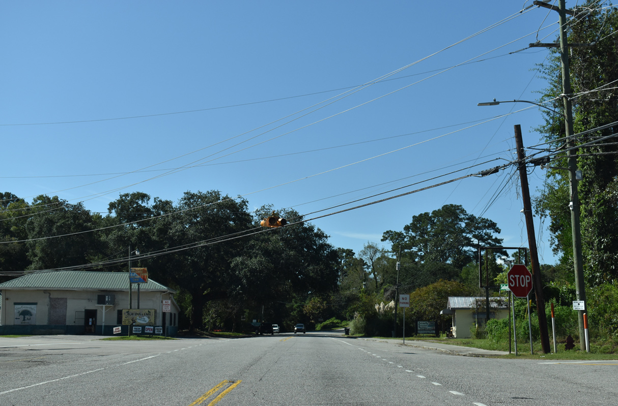
E Washington Street (Road 55) ties into U.S. 17 ALT/S.C. 64 Business north from Downtown Walterboro.
05/29/07
05/29/07
Providing a cut off 0.25 miles to U.S. 15 (Jefferies Boulevard) north, S.C. 64 Business separates from U.S. 17 ALT south at Paul Street.
05/29/07
05/29/07
South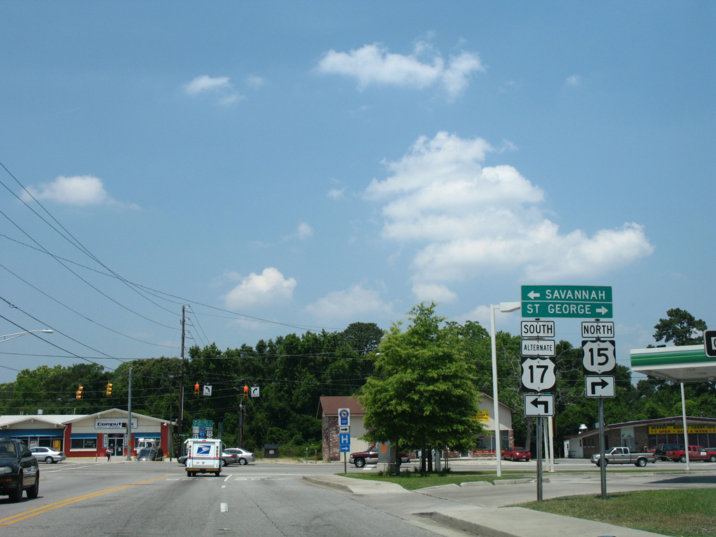
Taking U.S. 17 ALT west to the south end of U.S. 15, Wichman Street lines the north side of Downtown Walterboro.
05/29/07
05/29/07
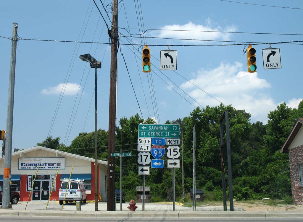
U.S. 15 travels north from Walterboro to St. George and Santee and overall from South Carolina LowCountry to the Southern Tier of New York at I-86 in Painted Post.
05/29/07
05/29/07
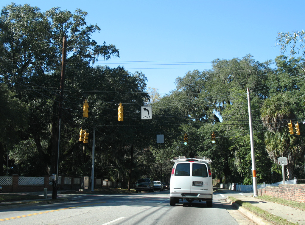
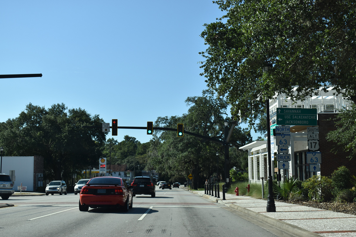
U.S. 17 ALT intersects Washington Street for a second time along Jefferies Boulevard on the west side of Downtown Walterboro.
12/30/20
12/30/20
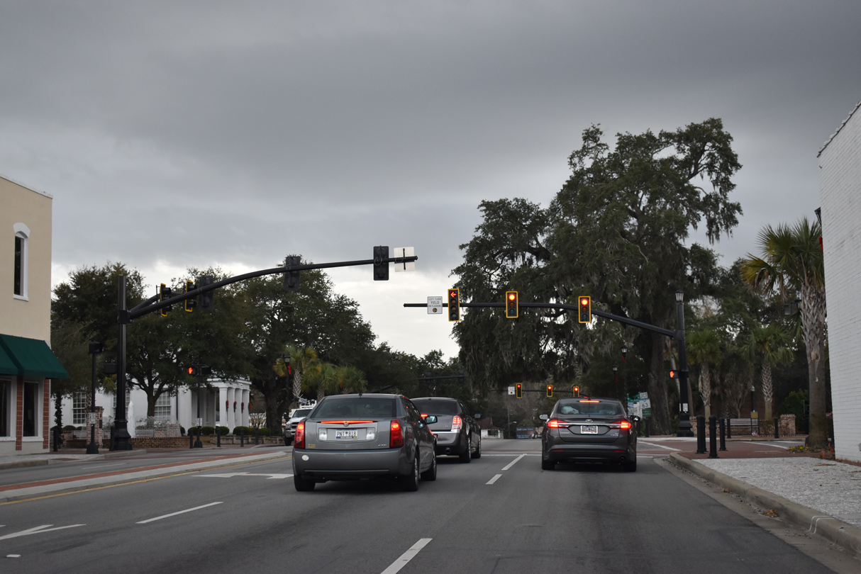
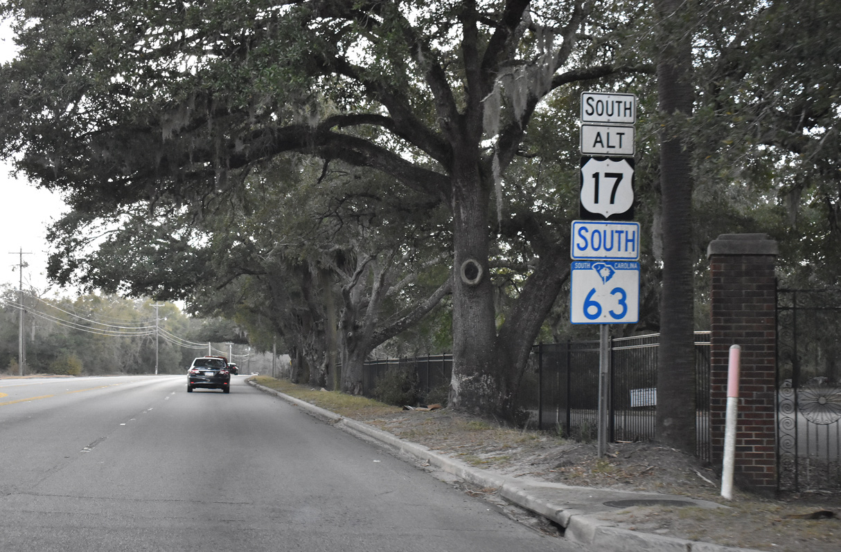
S.C. 63 (Hampton Street) leads 1.10 miles west from S.C. 64 Business to combine with U.S. 17 ALT (Jeffries Boulevard) south from Downtown Walterboro.
12/30/20
12/30/20
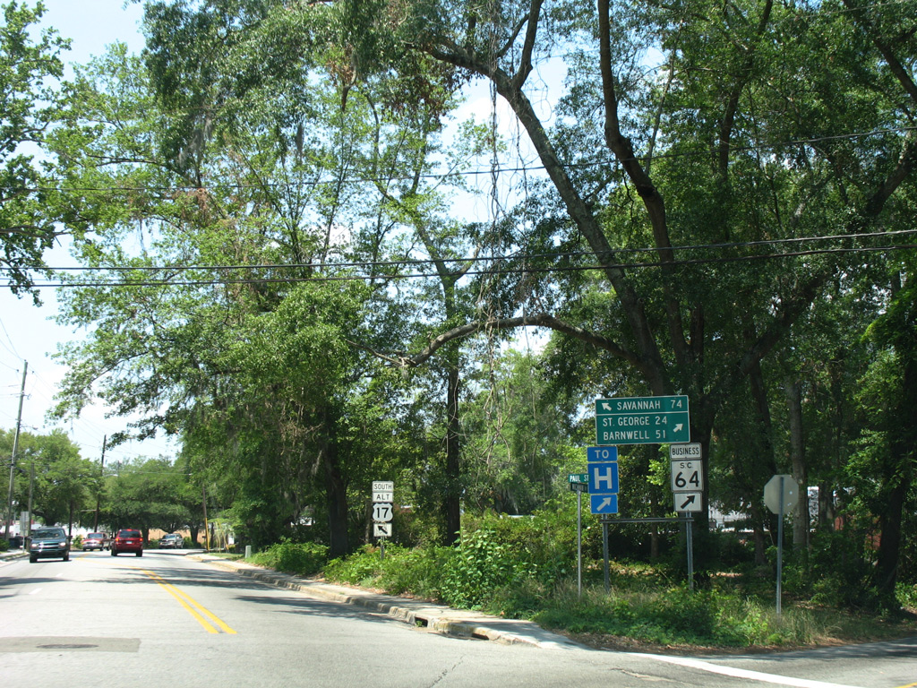
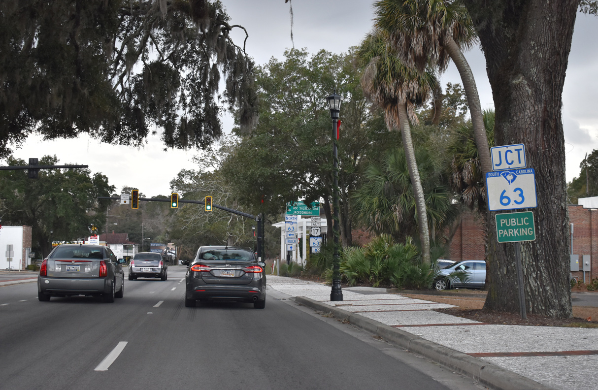
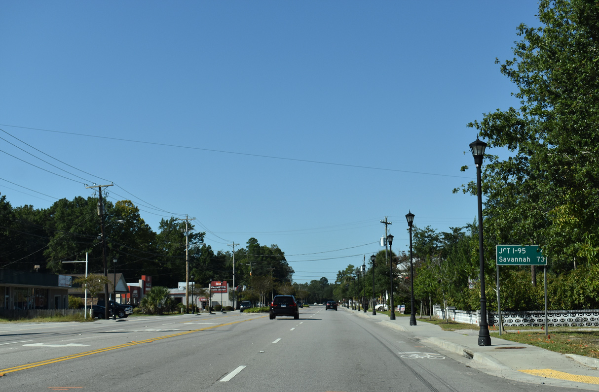
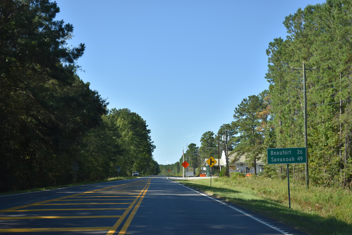
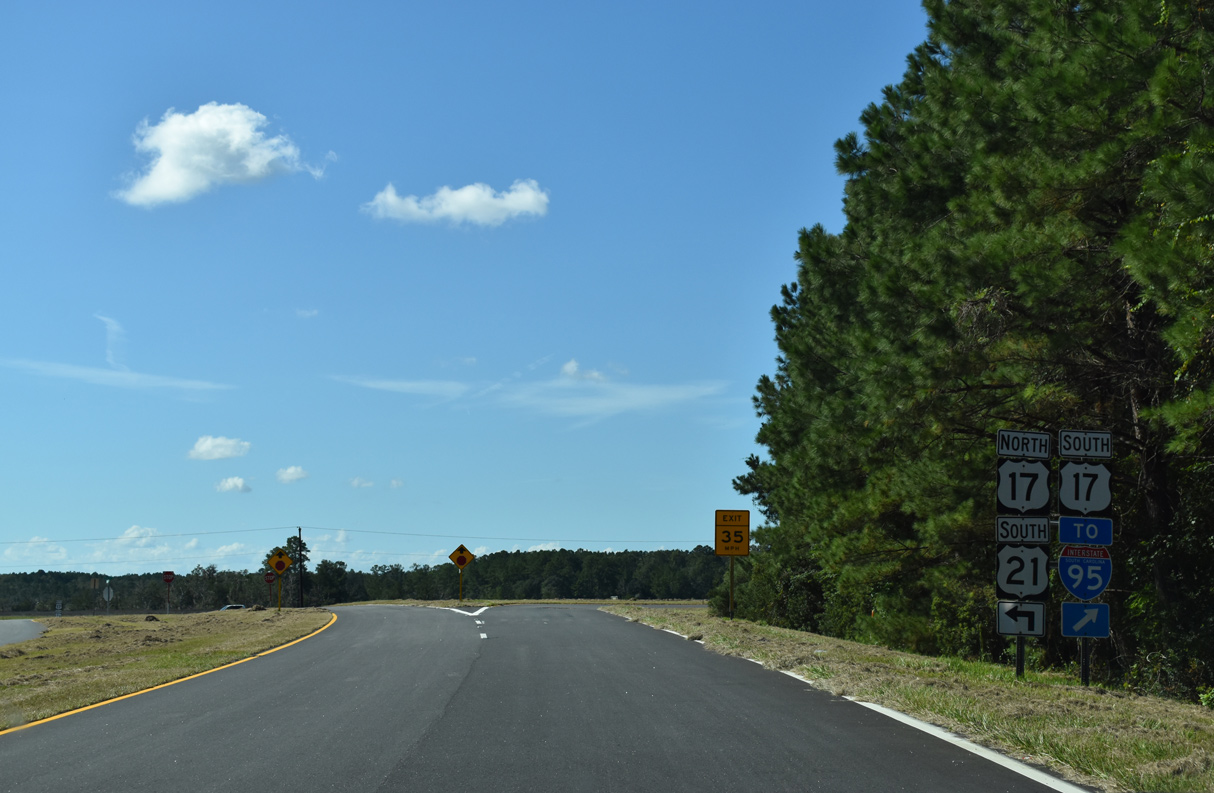
S.C. 63 overlaps with U.S. 17 ALT (Jefferies Boulevard) south 1.74 miles to Sniders Highway. Sign replacements made here retained the distance sign for Savannah. The 73 miles references the old alignment of U.S. 17 west through Port Wentworth and Garden City, Georgia.
09/25/22
09/25/22
 South
South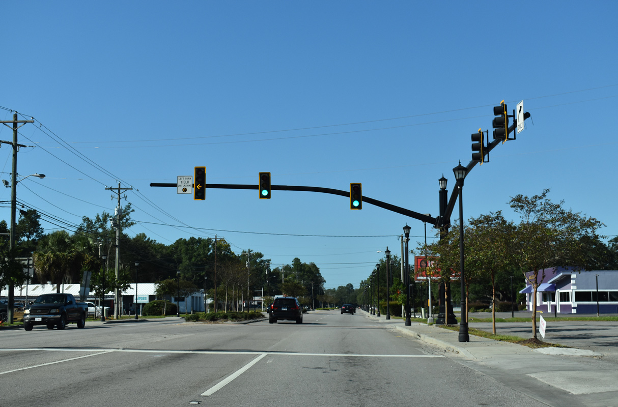
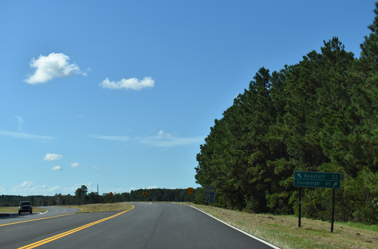
The north end of S.C. 303 (Green Pond Highway) is unmarked along U.S. 17 ALT/S.C. 63 (Jeffries Boulevard) southbound. S.C. 303 runs 13.52 miles south to Thayer, Drawdy, Ritter and U.S. 17 (Ace Basin Highway) beyond Green Pond.
09/25/22
09/25/22
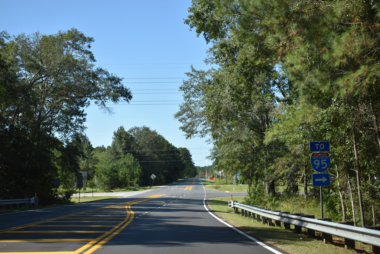
The diamond interchange joining S.C. 63 (Sniders Highway) with Interstate 95 lies 2.94 miles southwest of S.C. 303.
09/25/22
09/25/22
12/30/20
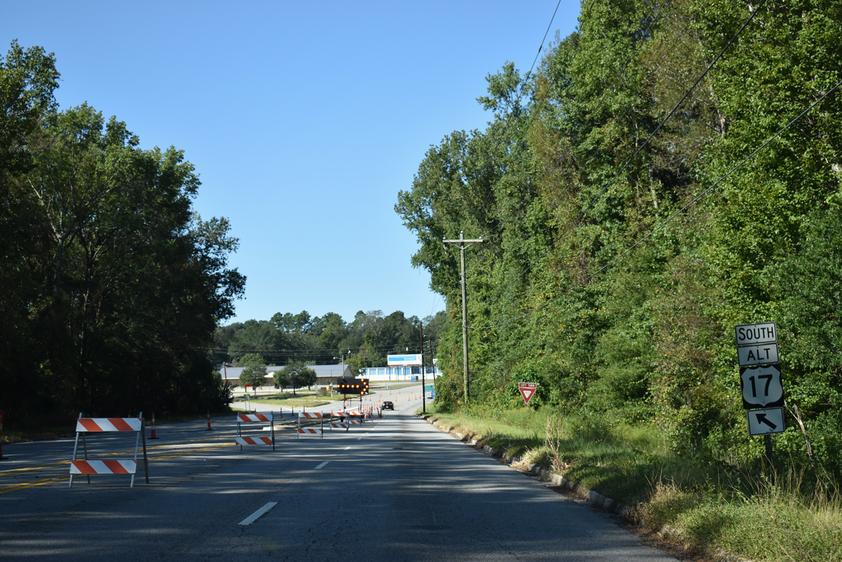
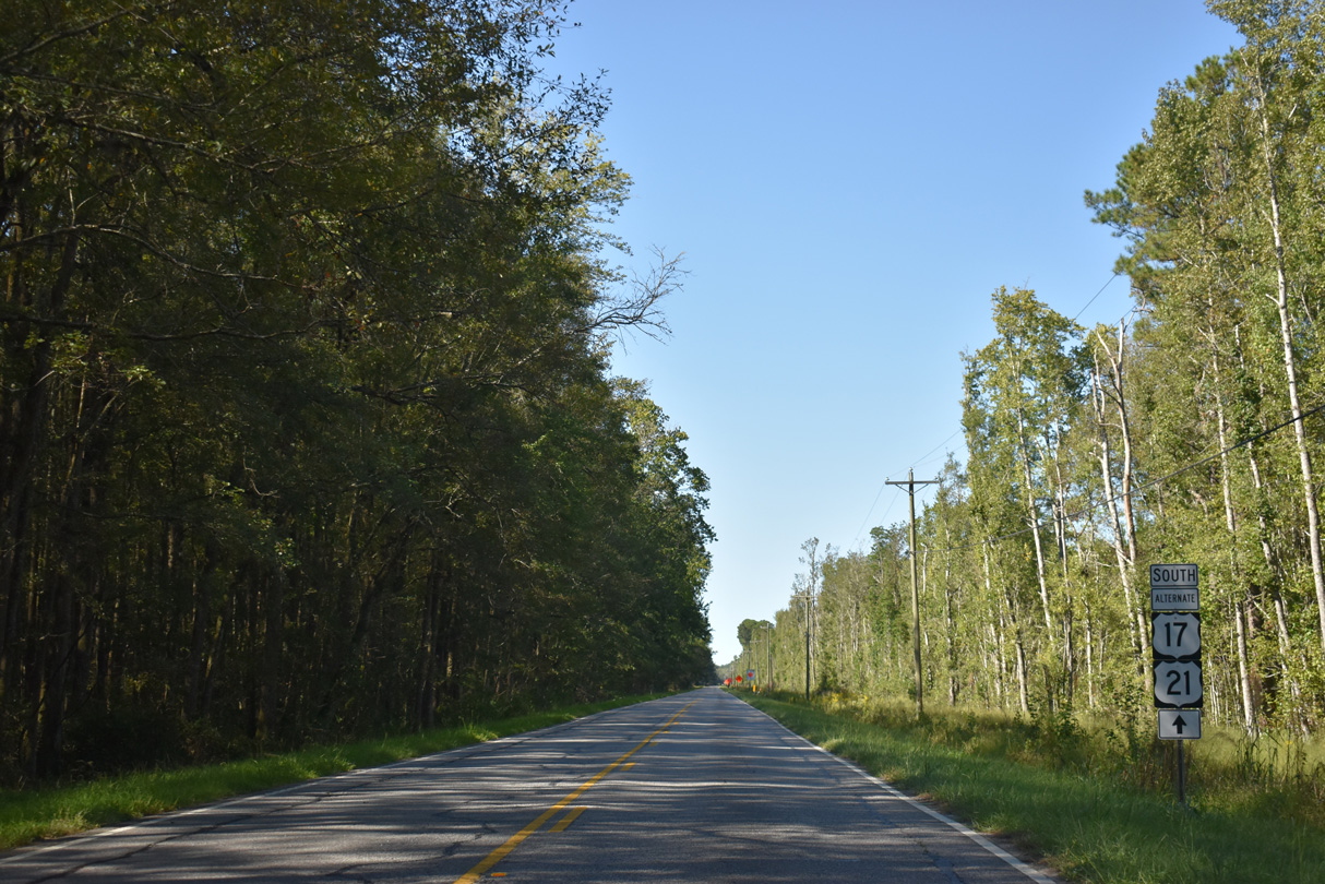
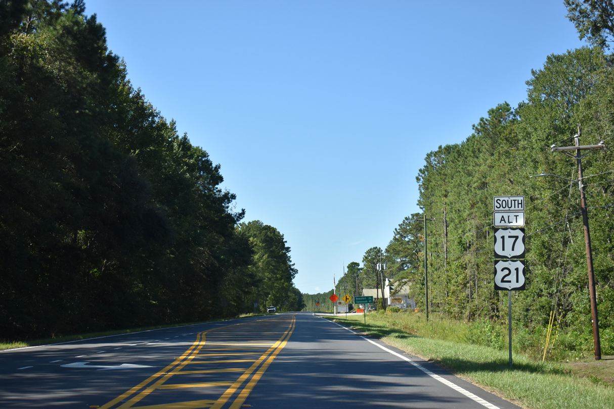
U.S. 17 ALT separates with S.C. 63 (Sniders Highway) south along Hendersonville Highway beyond the Ashepoo River.
09/25/22
09/25/22
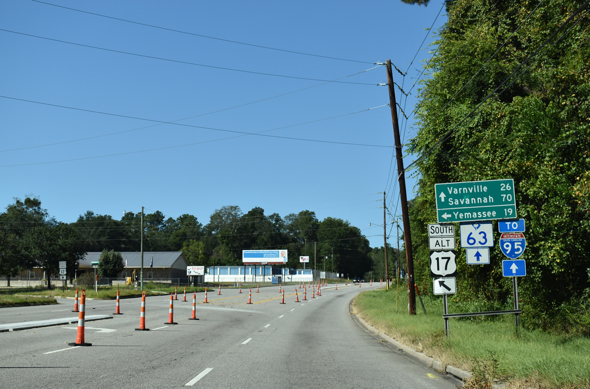
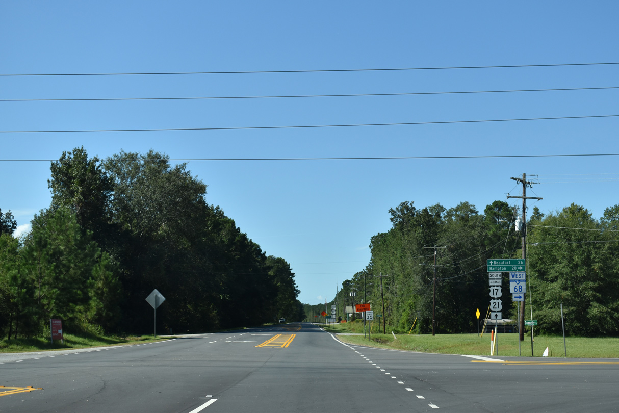
S.C. 63 (Sniders Highway) travels west from Walterboro to U.S. 278 at Varnville. U.S. 17 ALT parallels I-95 south to Hendersonville and Yemassee.
09/25/22
09/25/22
South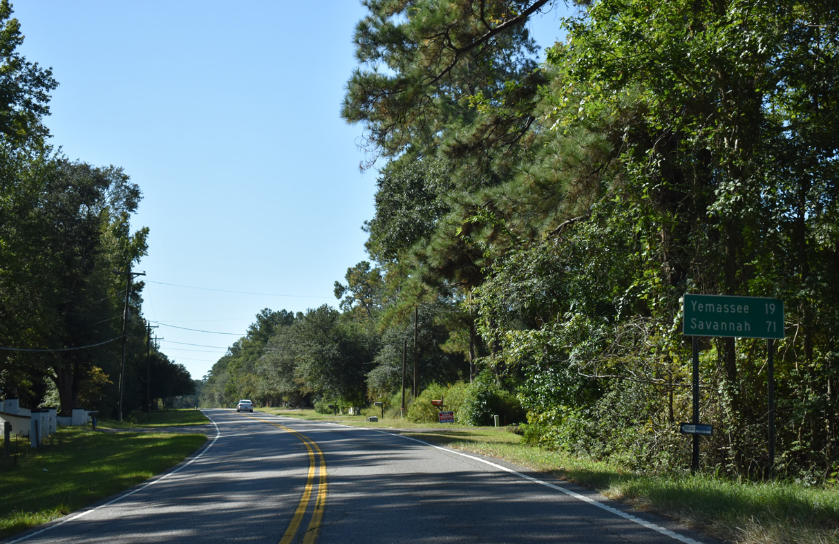
09/25/22
U.S. 17 ALT (Hendersonville Highway) south at See See Road (Road 88) east
09/25/22
09/25/22
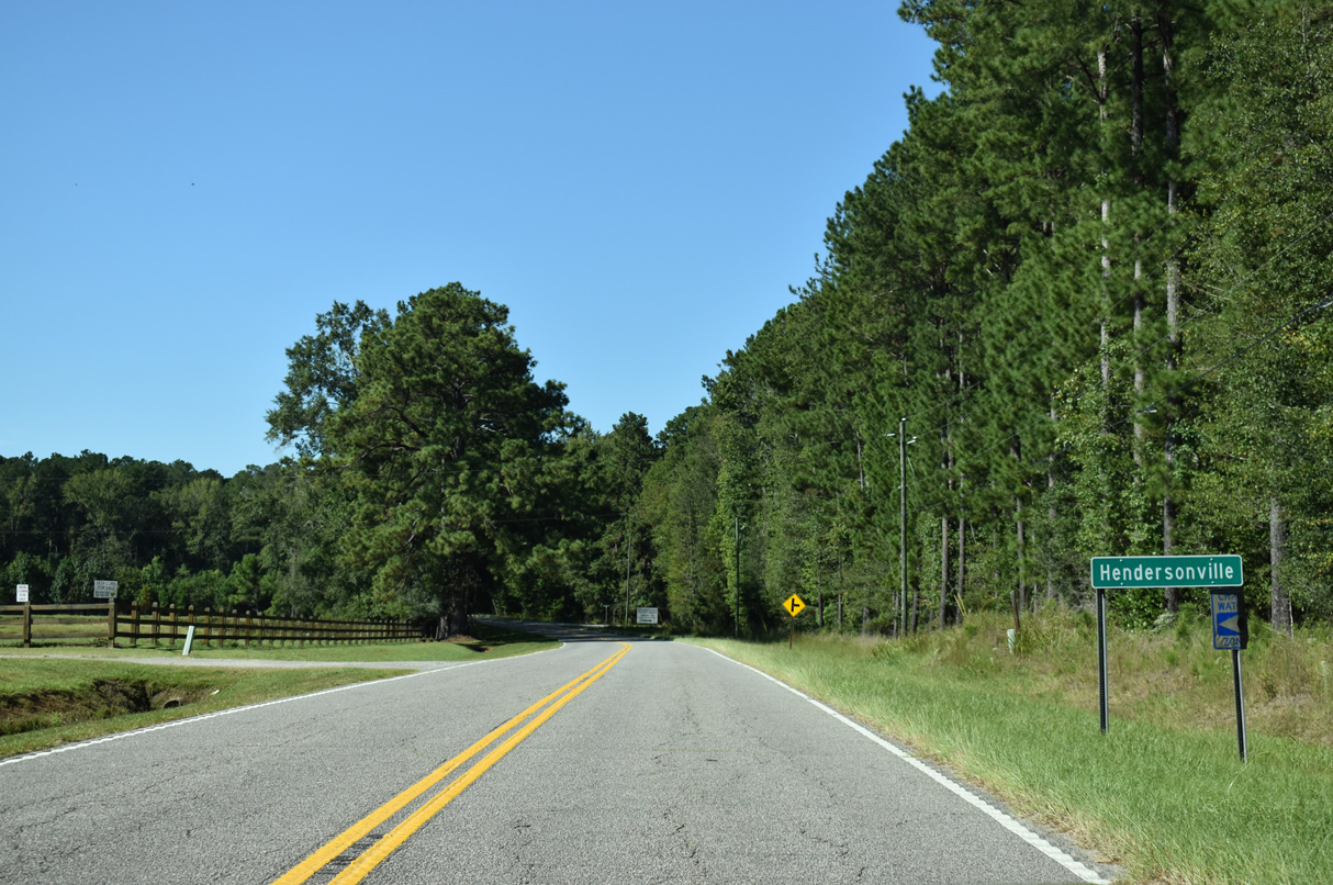
U.S. 17 ALT (Hendersonville Highway) reaches the unincorporated community of Hendersonville 5.3 miles south of the Walterboro city limits.
09/25/22
09/25/22
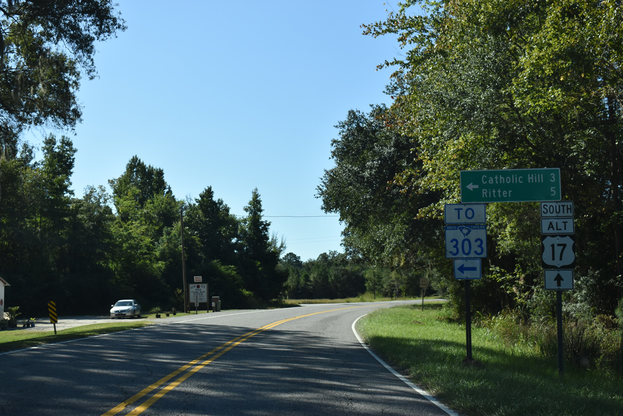
Ritter Road (Road 41) stems 5.28 miles east from U.S. 17 ALT at Hendersonville to S.C. 303 (Green Pond Highway) at Ritter.
09/25/22
09/25/22
09/25/22
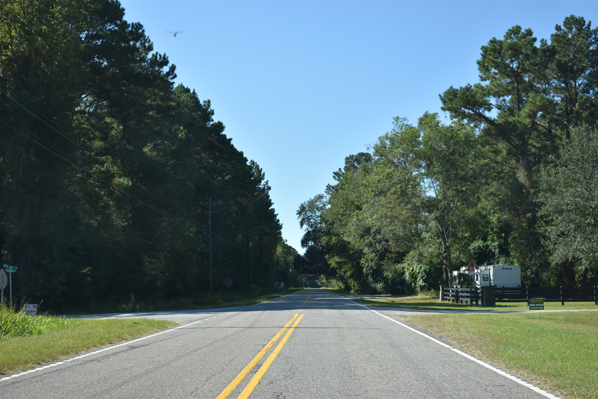
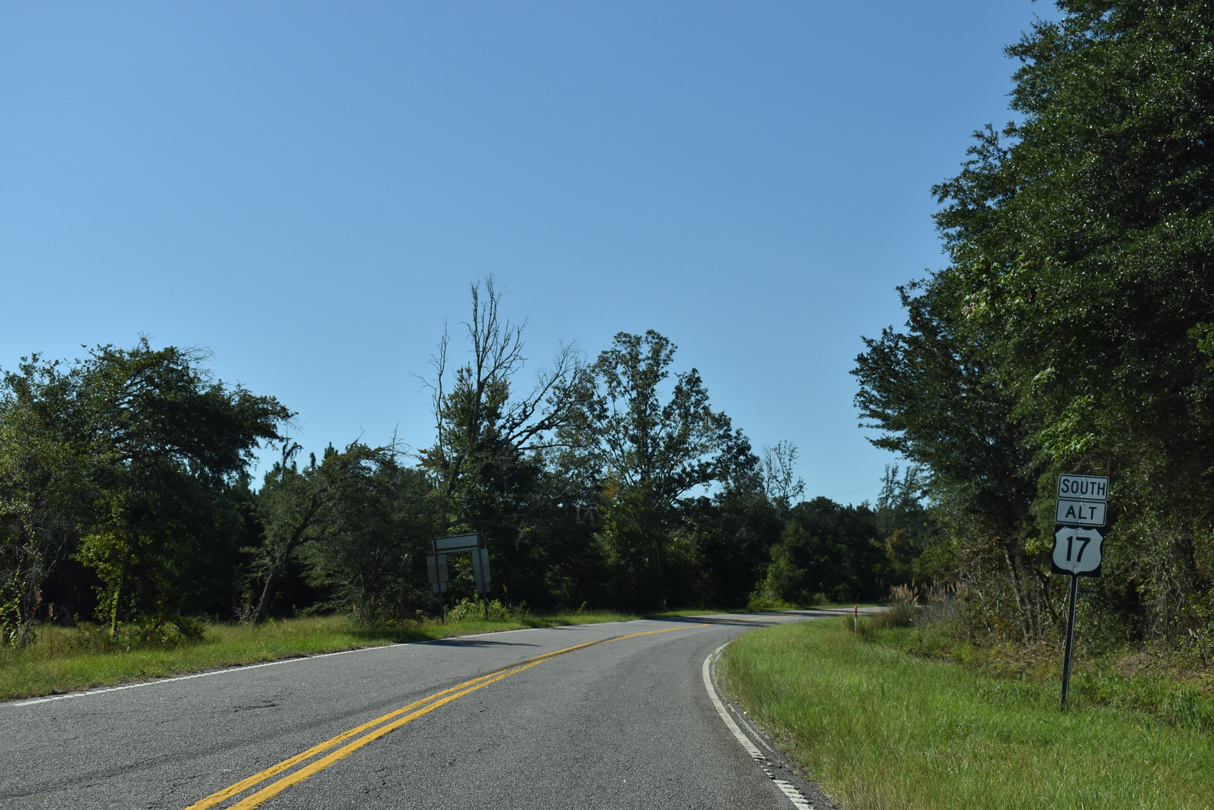
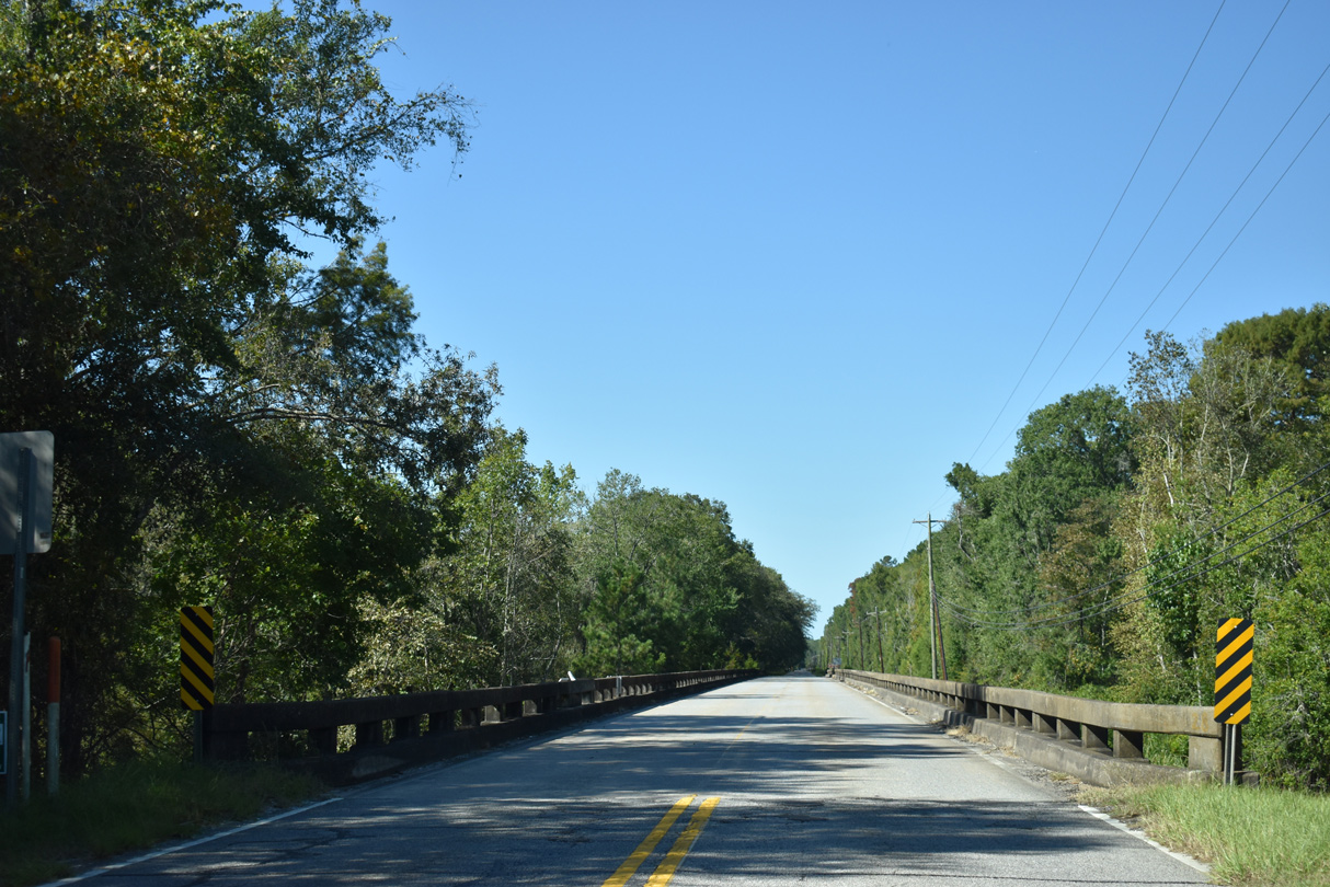
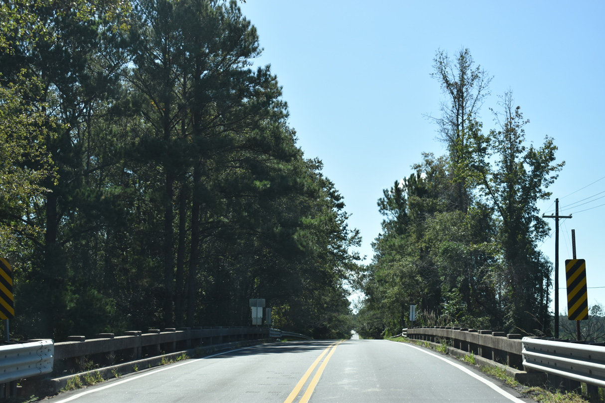
U.S. 17 ALT (Hendersonville Highway) bee lines southwest from Hendersonville across wetland areas associated with Bluehouse Swamp.
09/25/22
09/25/22
09/25/22
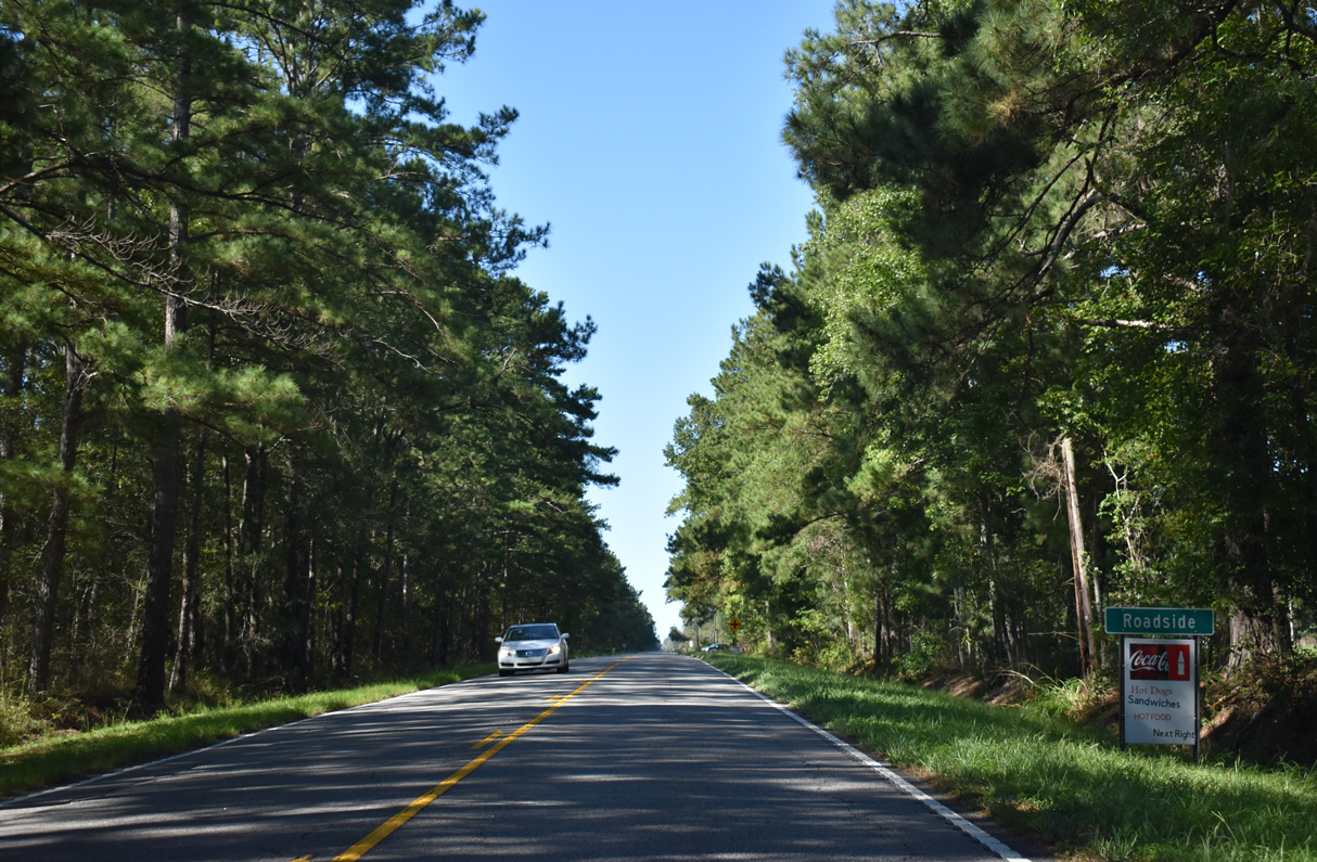
Reassurance marker posted south after Combahee Road (Road 66).
09/25/22
09/25/22
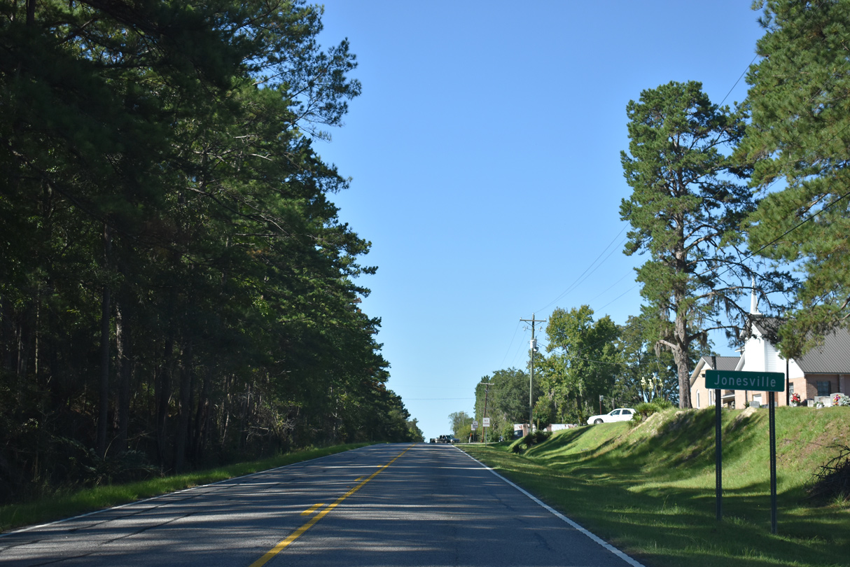
U.S. 17 ALT (Hendersonville Highway) enters the rural community of Jonesville at Jonesville Avenue (Road 324).
09/25/22
09/25/22
U.S. 21 (LowCountry Highway) converges with U.S. 17 ALT south at Jonesville.
09/25/22
09/25/22
U.S. 21 travels north from Interstate 95 nearby to Branchville, Orangeburg and Columbia.
09/25/22
09/25/22
 South
South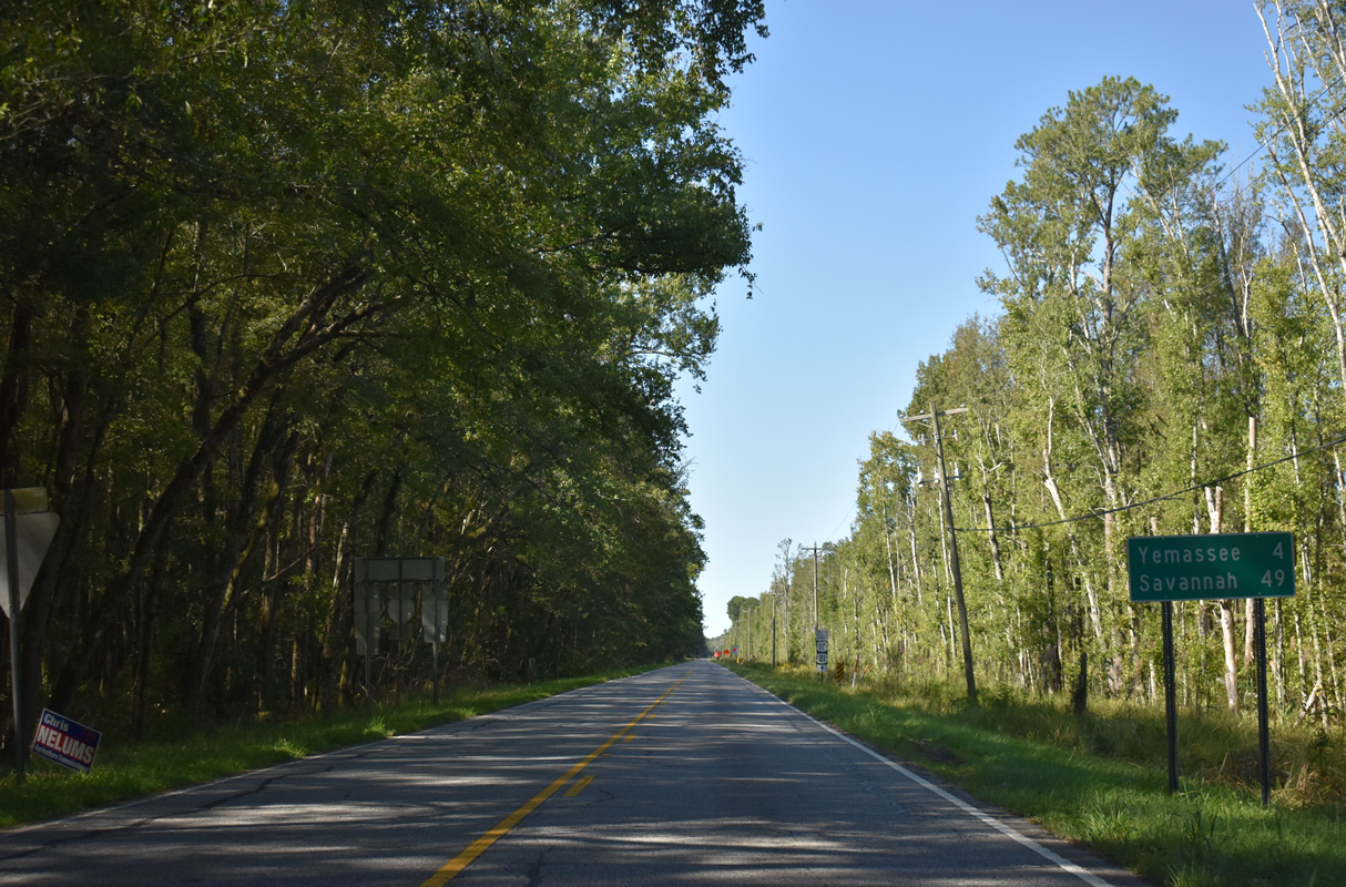
U.S. 21 overlaps with the remainder of U.S. 17 ALT south to Yemassee and U.S. 17 near Pocotaligo.
09/25/22
09/25/22
09/25/22
09/25/22
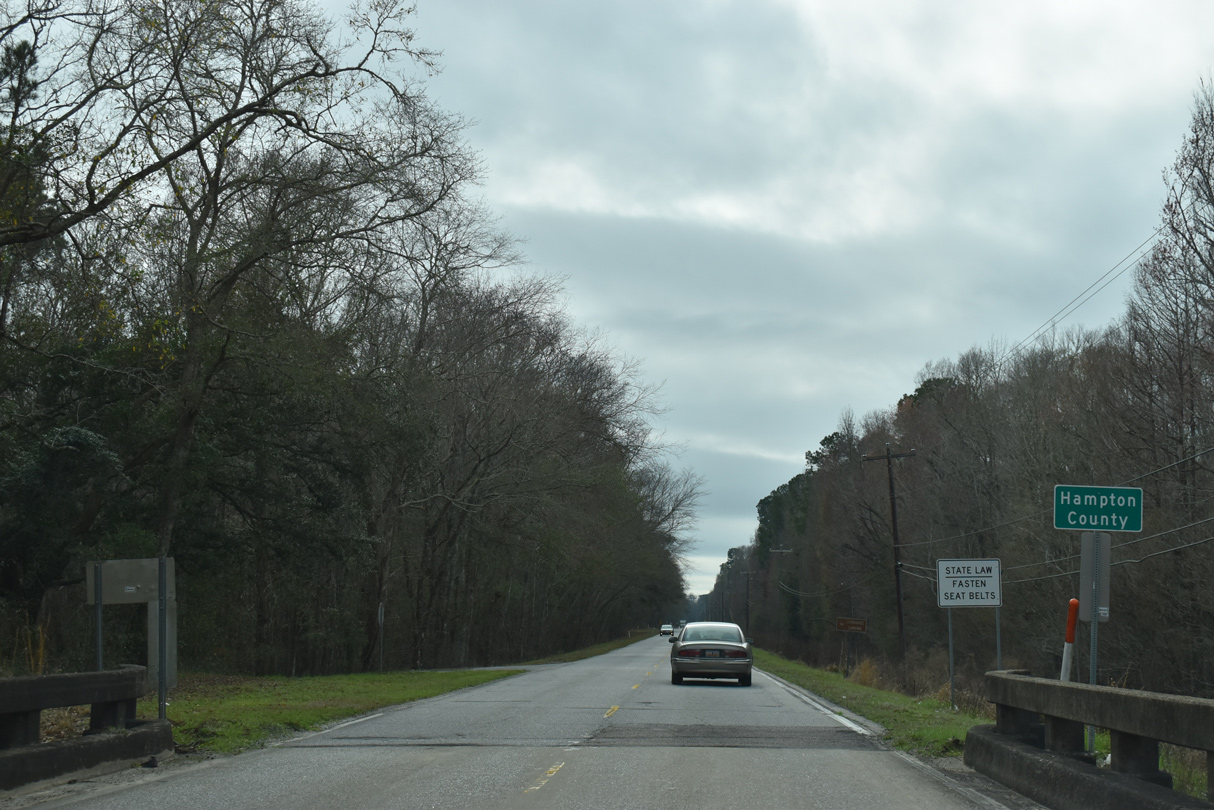
U.S. 17 ALT/21 cross the Combahee River into the southeastern wedge of Hampton County.
02/17/19
02/17/19
Continuing south into the town of Yemassee, U.S. 17 ALT/21 intersect Salkahatchie Road (Road 13) at a flasher.
01/01/17
01/01/17
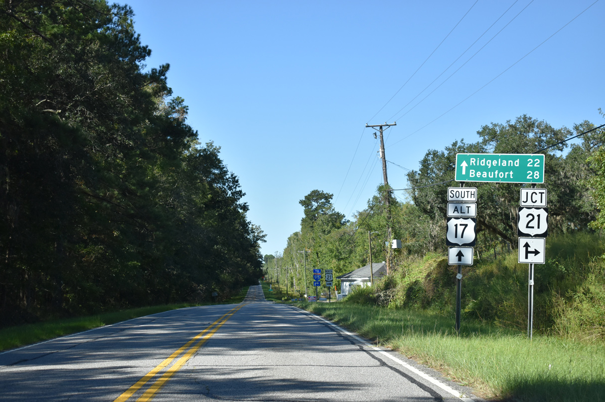
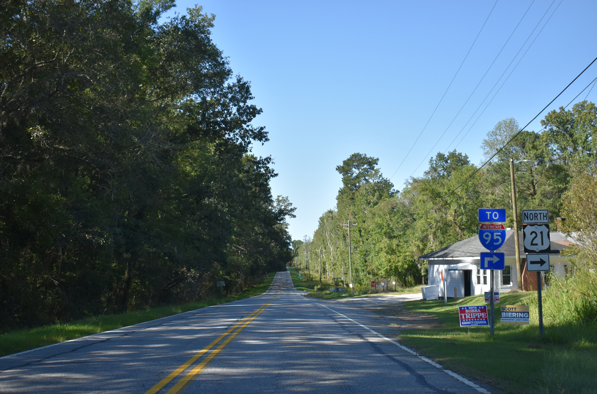
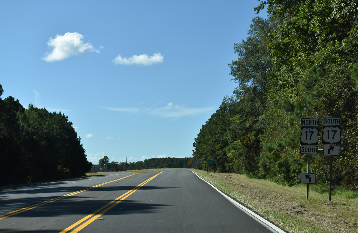
The south end of S.C. 68 (Connelly Street) ties into U.S. 17 ALT/21, 1.59 miles from a folded diamond interchange with Interstate 95.
09/25/22
09/25/22
Paralleling a CSX Railroad line, S.C. 68 (Yemassee Highway) bee lines northwest 15.33 miles to U.S. 278 ahead of Varnville and Hampton.
09/25/22
09/25/22
09/25/22
09/25/22
Curving southeast across a CSX Railroad line, U.S. 17 ALT/21 enter Beaufort County.
09/25/22
09/25/22
09/25/22
09/25/22
09/25/22
Photo Credits:
- Alex Nitzman: 11/13/06, 05/29/07, 01/01/17, 12/30/20
- Brent Ivy: 02/17/19, 09/25/22
Connect with:
Page Updated Wednesday December 07, 2022.