
U.S. 17 North - Brunswick County

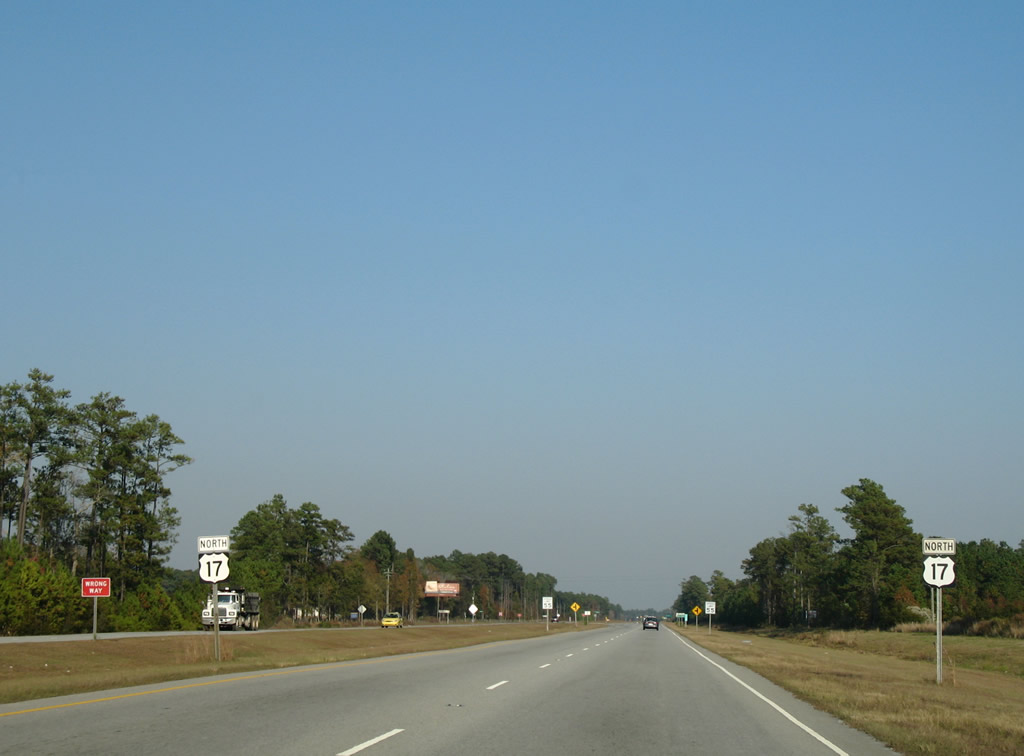
 North
North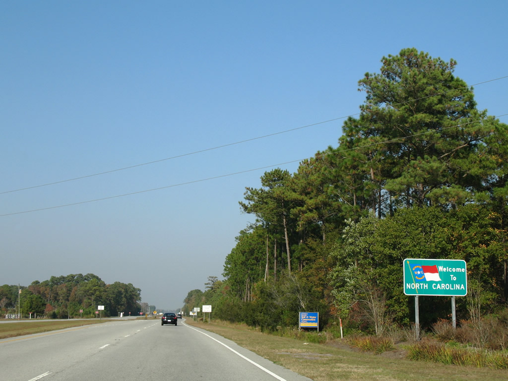
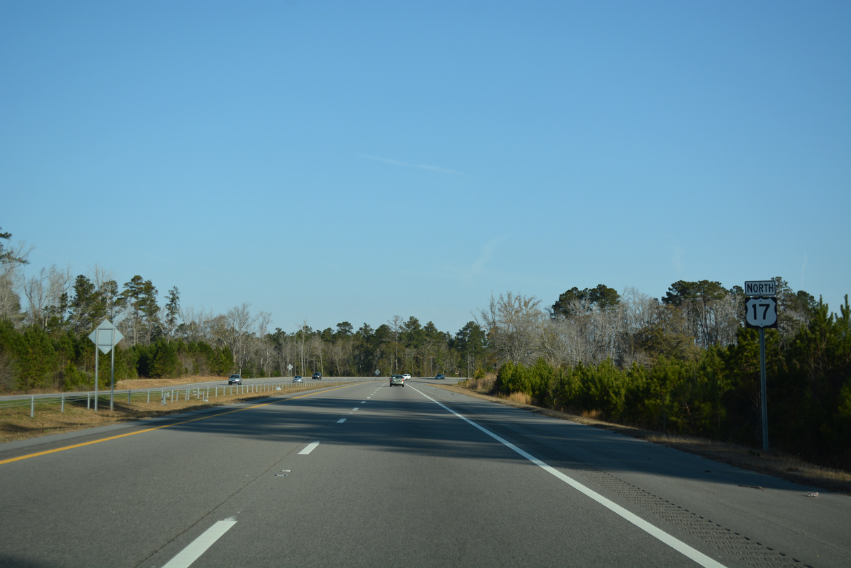
U.S. 17 enters Brunswick County, North Carolina at Hickmans Crossroads amid a variety of golf courses and development.
11/11/06
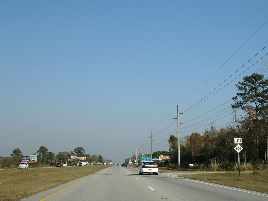
U.S. 17 bends eastward toward Grissettown, meeting NC 904 near the sprawling Ocean Ridge Plantation golf course community.
11/11/06
NC 904 generally straddles areas near the South Carolina state line northwest from U.S. 17 through Tabor City to Rowland (U.S. 301/501).
11/11/06
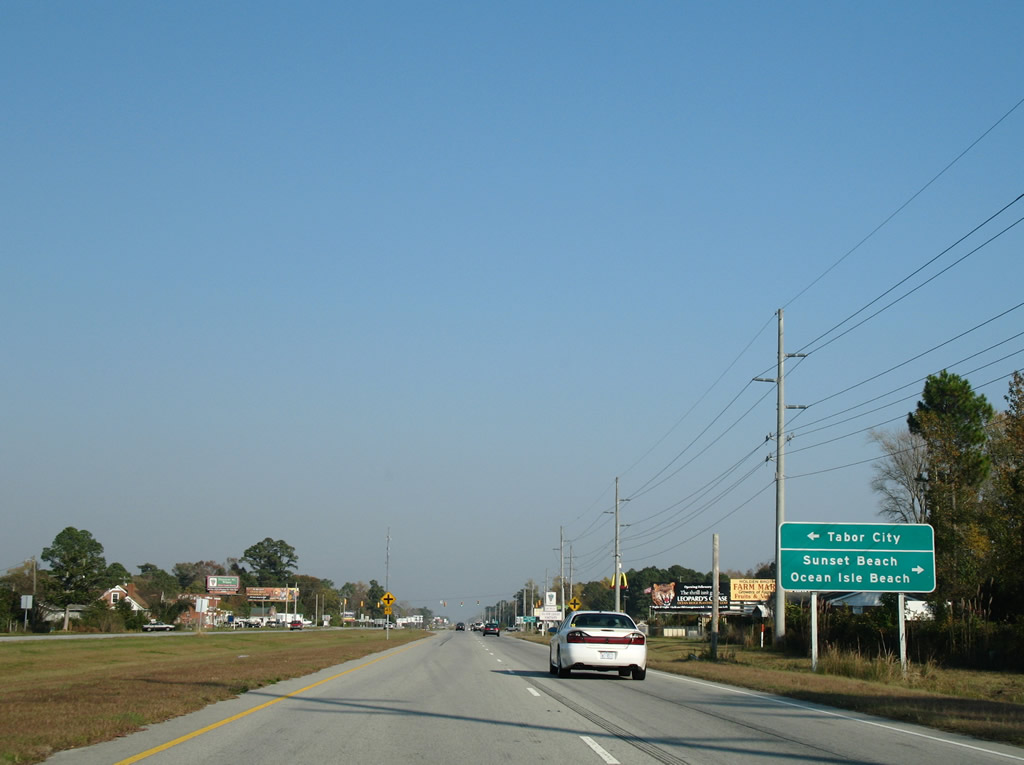
Southward, NC 904 travels four miles to Seaside where the highway turns east toward Ocean Isle Beach. NC 179 Business connects Seaside with Sunset Beach to the west.
11/11/06
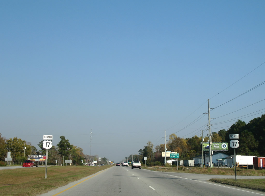
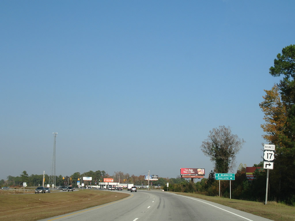
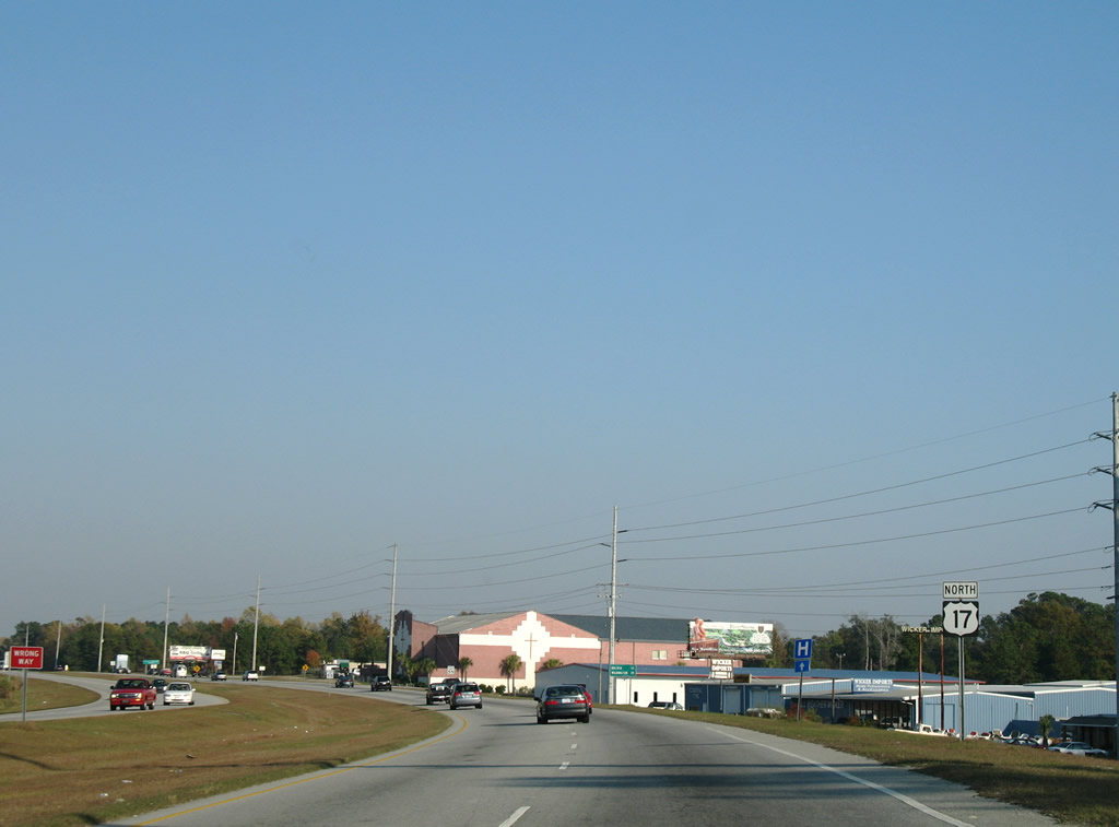
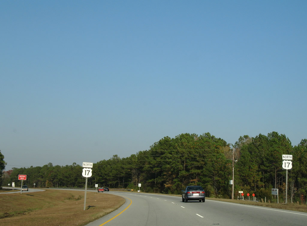
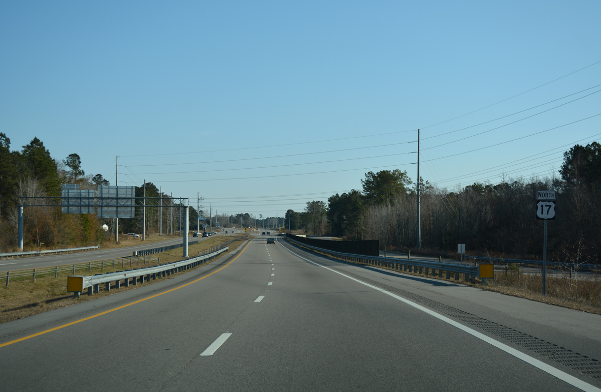
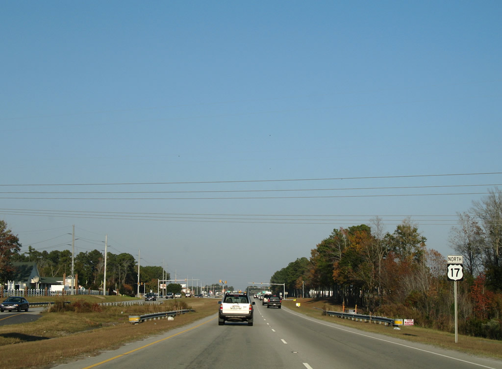
A pair of U.S. 17 reassurance shields line the four lane divided highway as it leaves Grissettown on the seven mile drive to Shallotte.
11/11/06
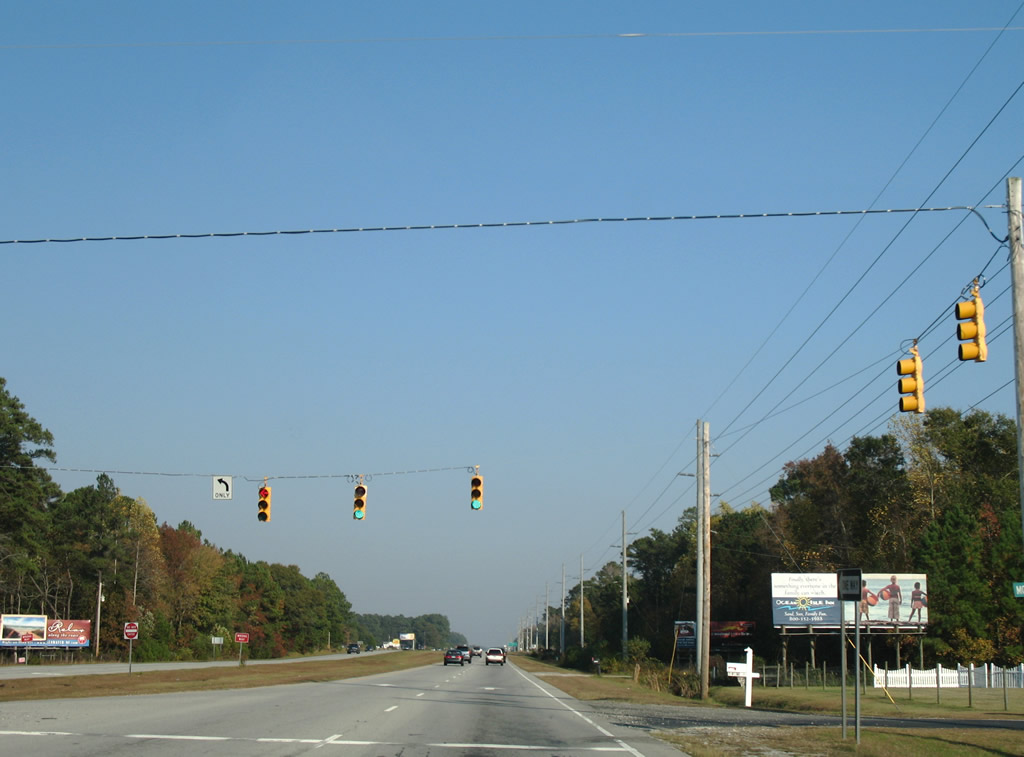
Union School Road connects U.S. 17 (Ocean Highway) with Old Shallotte Road from this traffic light.
11/11/06
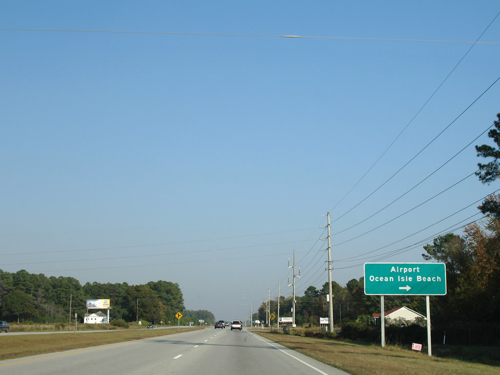
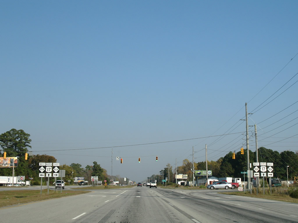
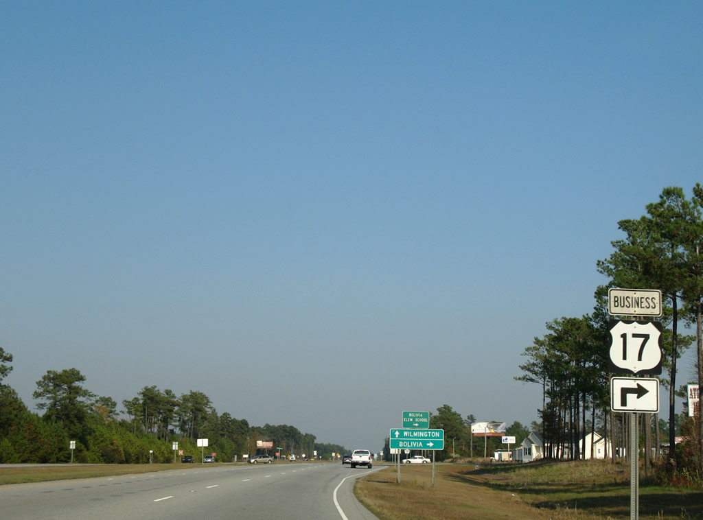
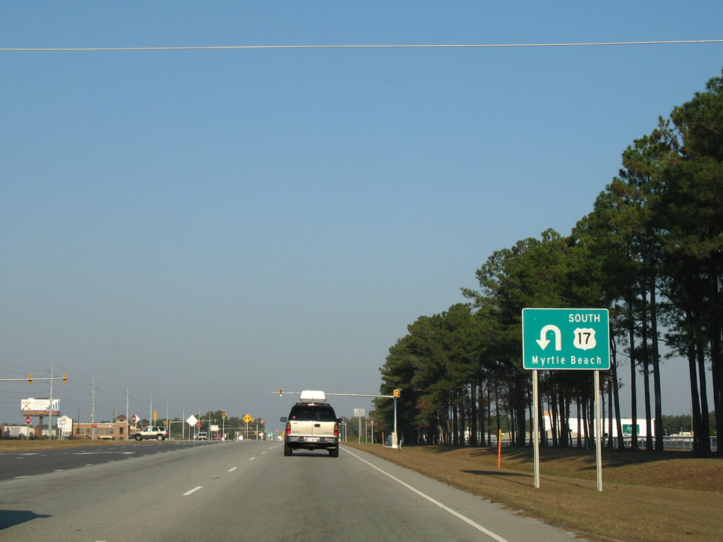
Ocean Isle Beach Road leads south from U.S. 17 to the split of NC 179/904 at Ocean Isle Beach Airport. NC 904 continues across the Intracoastal Waterway onto Ocean Isle Beach from there.
11/11/06
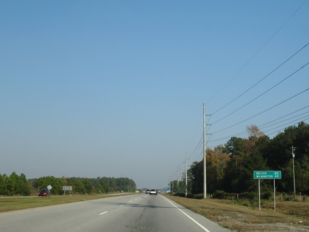
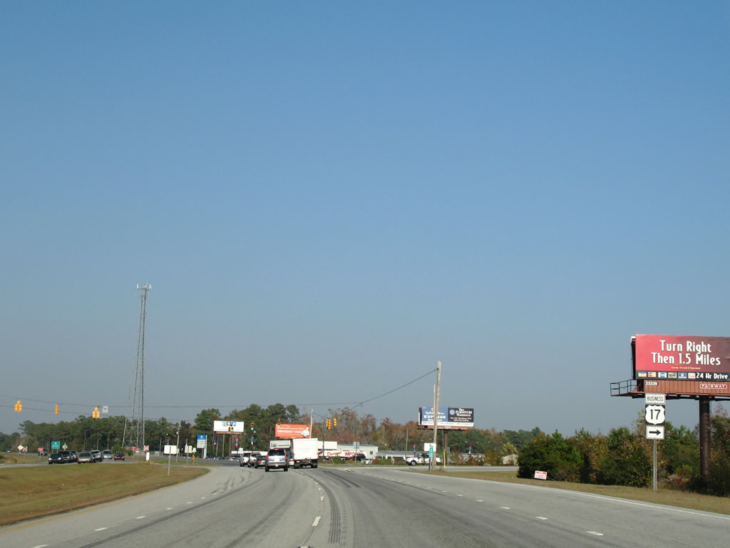
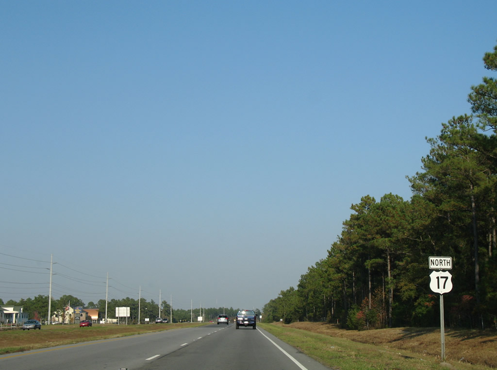
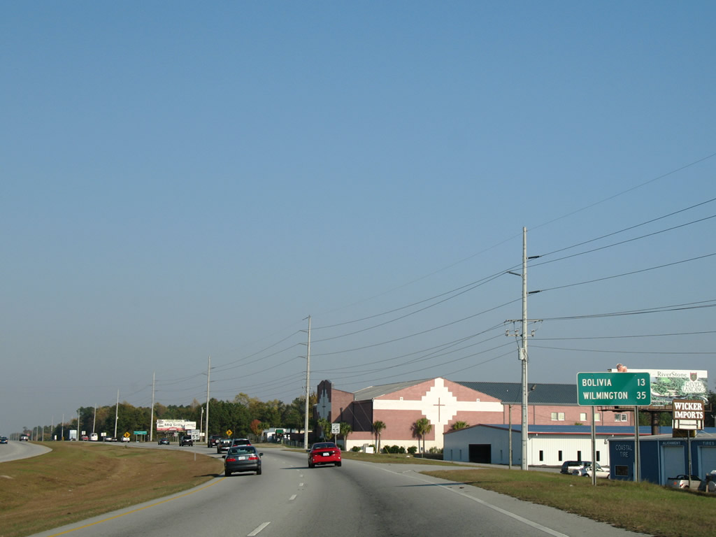
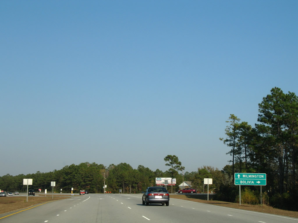
Continuing past Ocean Isle Beach Road, U.S. 17 travels 20 miles to Bolivia, the Brunswick County seat, and 40 miles to Wilmington.
11/11/06
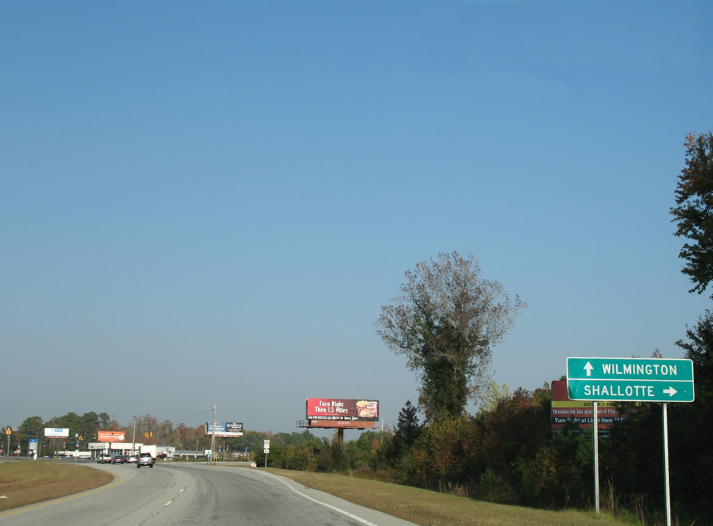
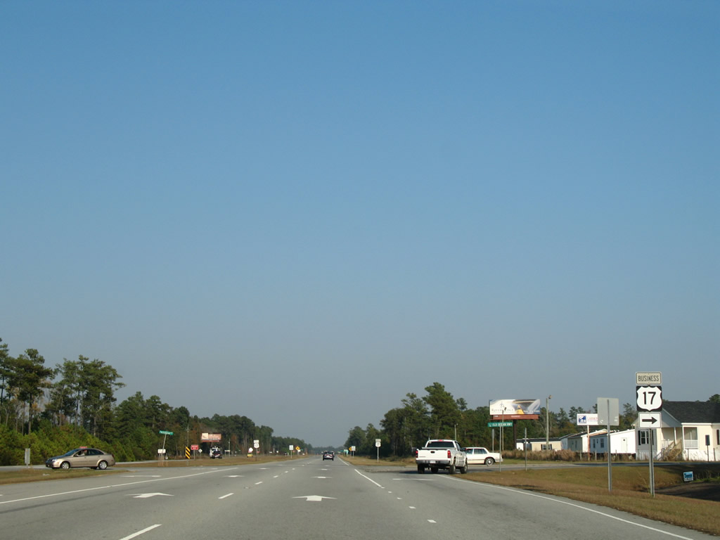
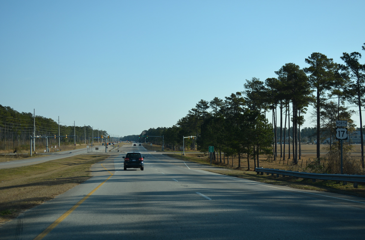
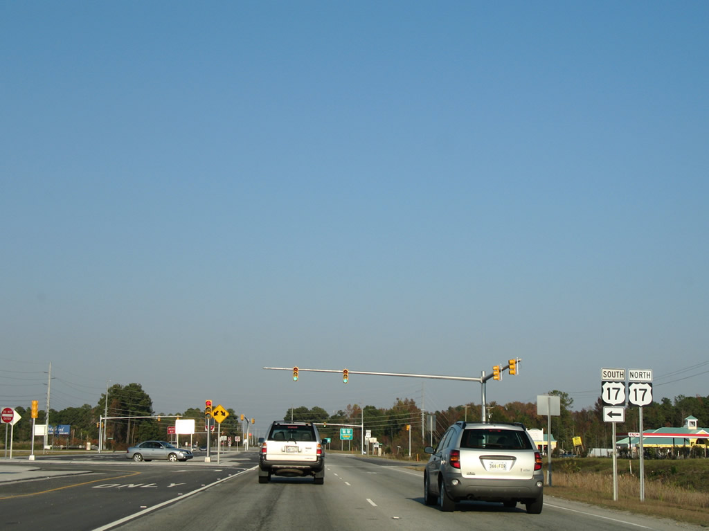
Approaching the split with U.S. 17 Business into the town of Shallotte.
11/11/06
U.S. 17 bypasses Shallotte to the north as U.S. 17 Business follows Main Street. Shallotte lies north of the sprawling Rivers Edge Golf Club near the Shallotte River. The business loop represents the main commercial strip of the area.
11/11/06
Old Shallotte Road ties into the Main Street intersection with U.S. 17 Business. U.S. 17 Business intersects NC 179, which connects from the Ocean Isle Beach area, in two miles.
11/11/06
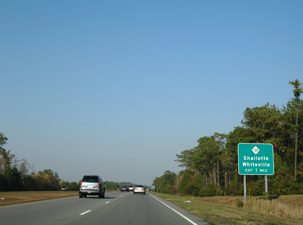
NC 130 crosses paths with U.S. 17 just northwest of Shallotte. The state route travels a rural course ten miles northwest to Ash on the 34 mile drive to Whiteville.
11/11/06
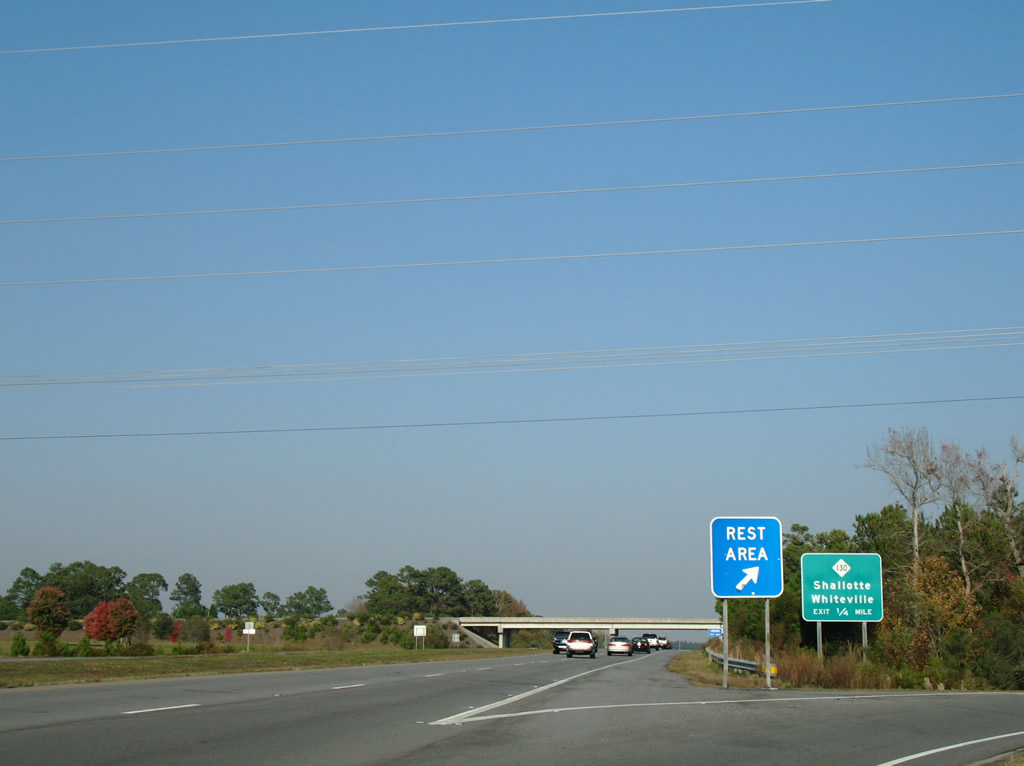
A rest area for U.S. 17 lines the northbound side of Ocean Highway adjacent to NC 130 (Whiteville Road). Southbound travelers must use the off-ramp to Whiteville Road to access the facility. Northbound drivers may utilize the on-ramp to return onto U.S. 17.
11/11/06
Departing the rest area at NC 130. NC 130 continues south one mile to a brief merge with U.S. 17 Business in Shallotte. East of town, the route travels nine miles to Holden Beach on the Atlantic.
11/11/06
Northbound on the expressway portion of U.S. 17 outside Shallotte. Frontage roads serve the handful of businesses along the route.
11/11/06
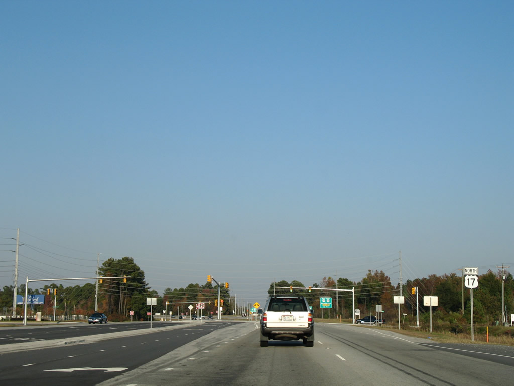
U.S. 17 Business (Main Street) returns to U.S. 17 northeast of Shallotte at a signalized intersection.
11/11/06
U.S. 17 curves away from Main Street on the eight mile drive to Supply.
11/11/06
Bolivia is another 13 miles northeast from Shallotte. Wilmington is a half-hour away.
11/11/06
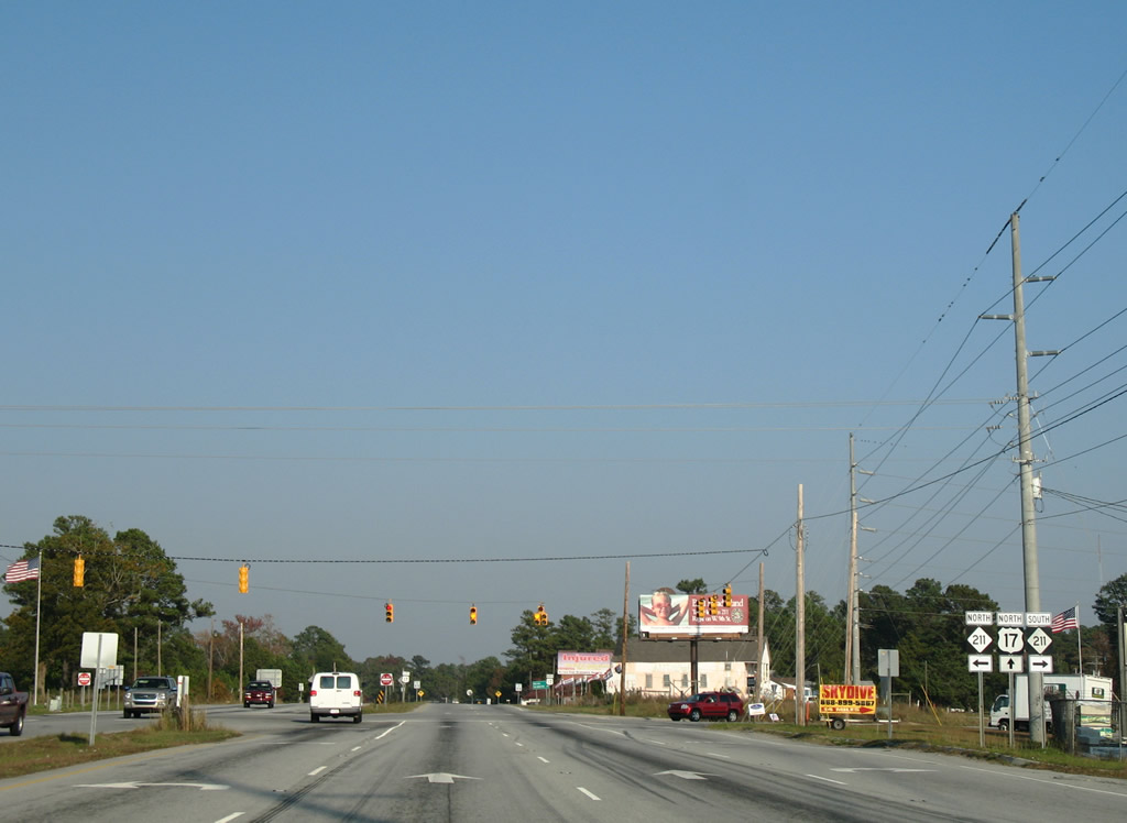
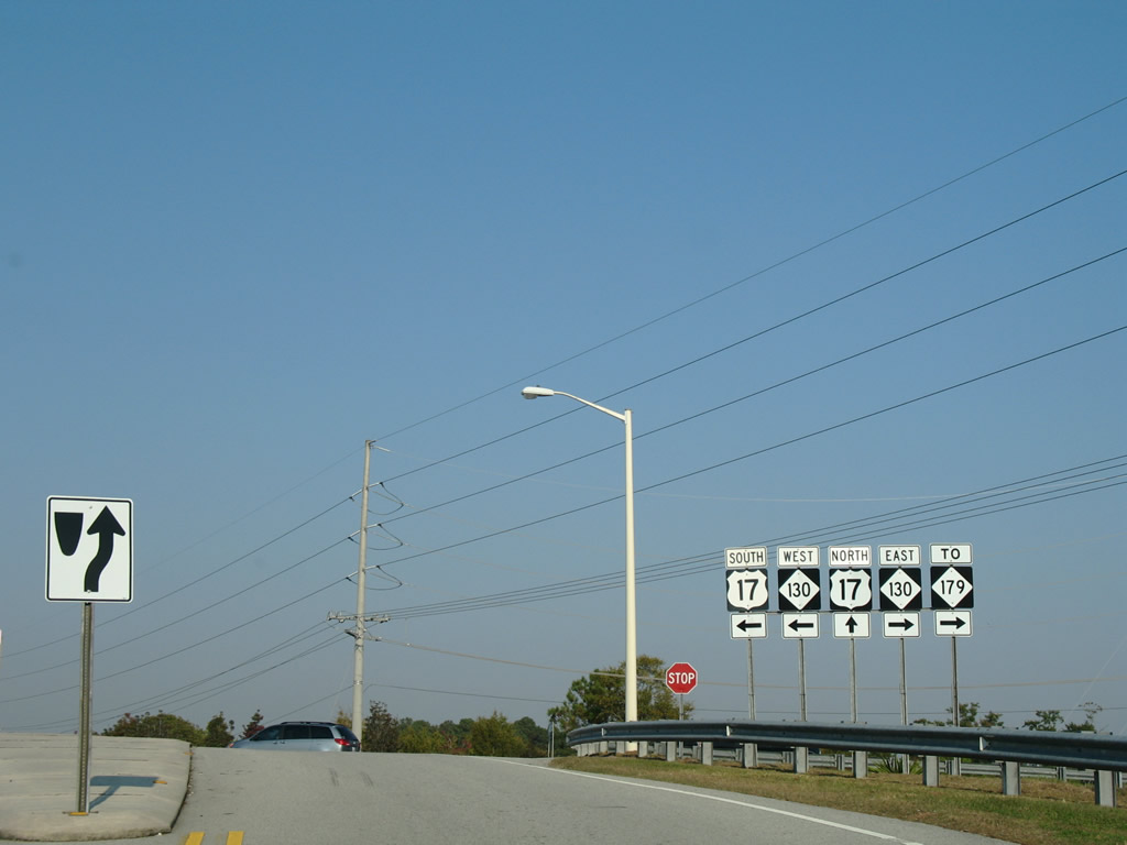
NC 211 intersects U.S. 17 (Ocean Highway) at the settlement of Supply. The state route travels over 150 miles from the Southport-Fort Fisher Ferry to U.S. 220 Alternate at Candor.
11/11/06
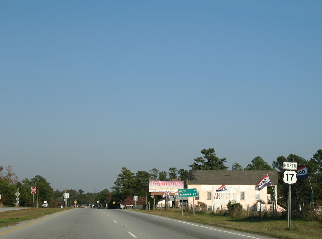
East of Supply, U.S. 17 heads nine miles to Bolivia.
11/11/06
A second business loop for U.S. 17 departs for Bolivia along Old Ocean Highway. This route measures eight miles in length as U.S. 17 travels an expressway like bypass to the north.
11/11/06
Northbound at the split with U.S. 17 Business, six miles west of Bolivia. Bolivia is the seat of Brunswick County, though there is not much to the community outside the County Government Center and a handful of residences.
11/11/06
U.S. 17 advances east along a rural expressway toward Galloway Road.
11/11/06
U.S. 17 Business returns to U.S. 17 via Old Ocean Highway.
11/11/06
Four miles separate the business loop end from NC 87 near Winnabow.
11/11/06
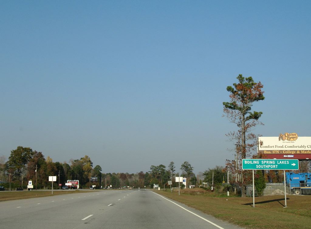
Mill Creek Road provides a cut-off between U.S. 17 north and NC 87 south for interests to Boiling Spring Lakes and Southport.
11/11/06

NC 87 combines with U.S. 17 one mile south of Winnabow.
11/11/06
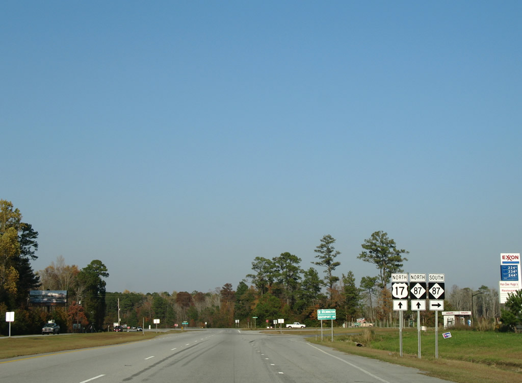
Entering the unsignalized intersection with NC 87 south. The state route travels ten miles south to Boiling Spring Lakes and 16 miles to end at Southport.
11/11/06
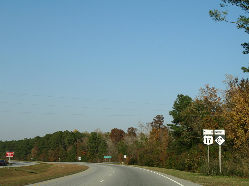
U.S. 17 north / NC 87 overlap 3.42 miles through the rural settlements of Winnabow and Town Creek.
11/11/06
Elizabethtown joins Wilmington on this distance sign for the NC 87 destination beyond U.S. 17.
11/11/06
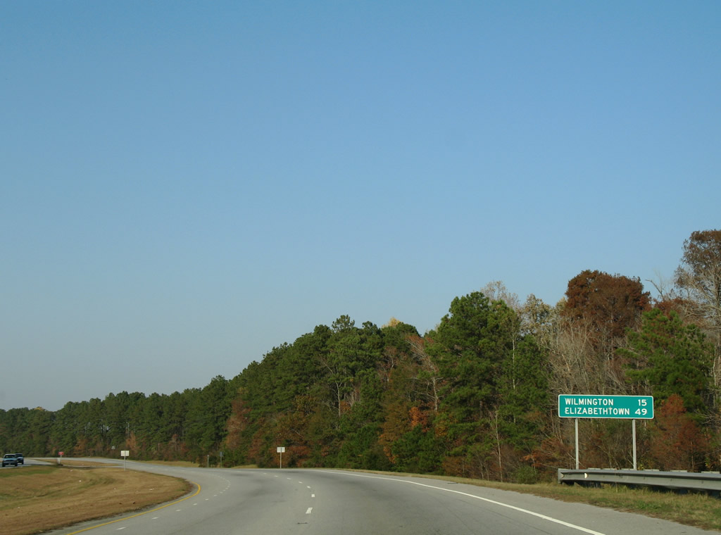
Heading north from Town Creek, U.S. 17 approaches the west end of Interstate 140 (Exit 39).
12/31/17
Zion Church Road north and Hazels Branch Road south come together at U.S. 17/NC 87 at a J-turn.
12/31/17
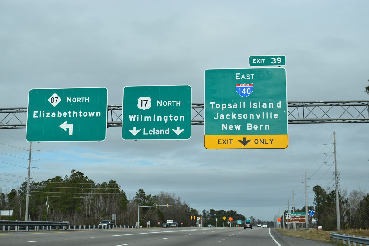
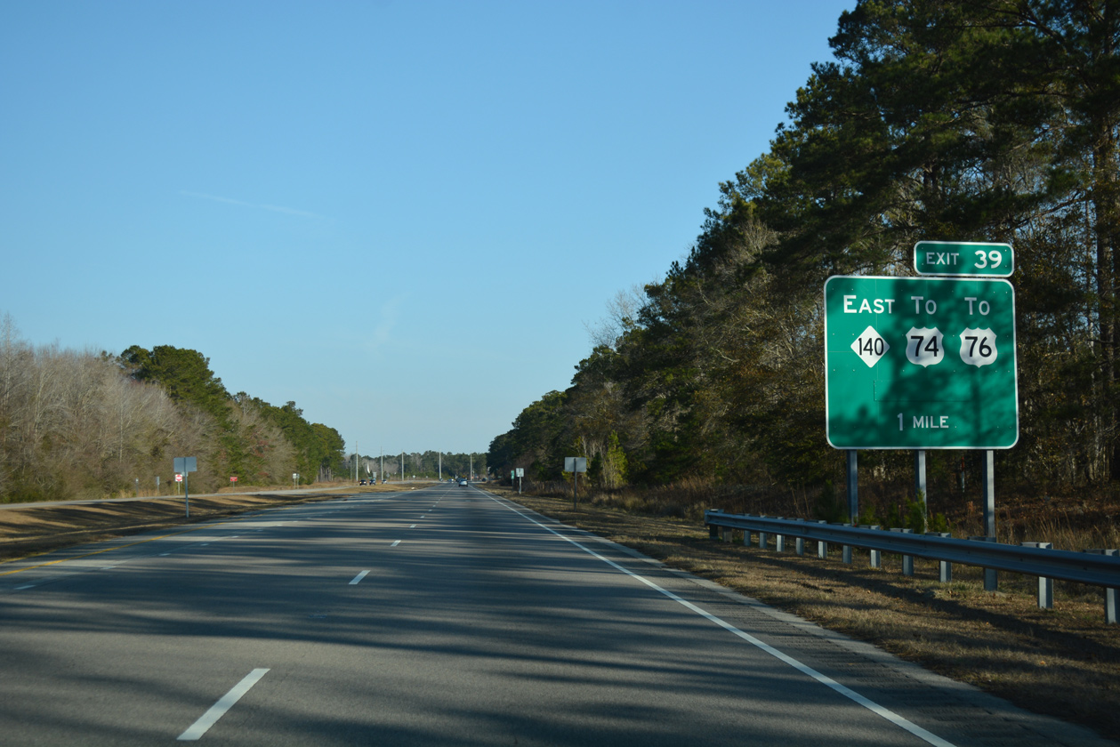
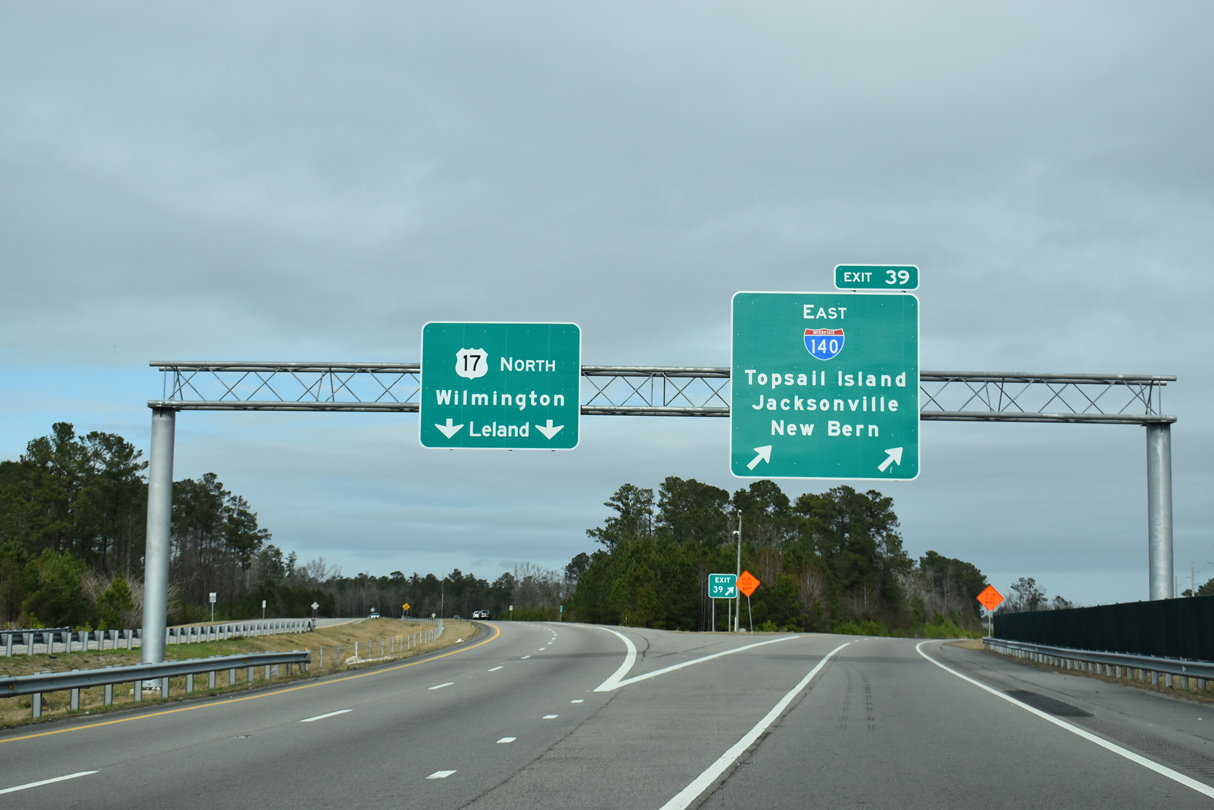
NC 87 separates from U.S. 17 north at Bishop just ahead of the trumpet interchange (Exit 39) with Interstate 140.
01/19/19
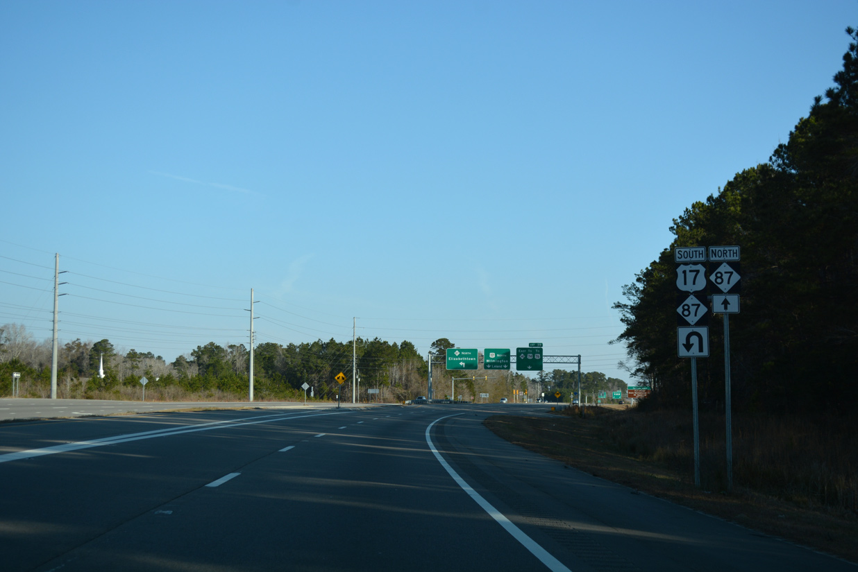
Meandering northwest, NC 87 joins U.S. 74/76 in nine miles at Maco. The three routes travel five miles west to Delco, where NC 87 resumes a northwesterly course to Elizabethtown and Fayetteville.
01/19/19
North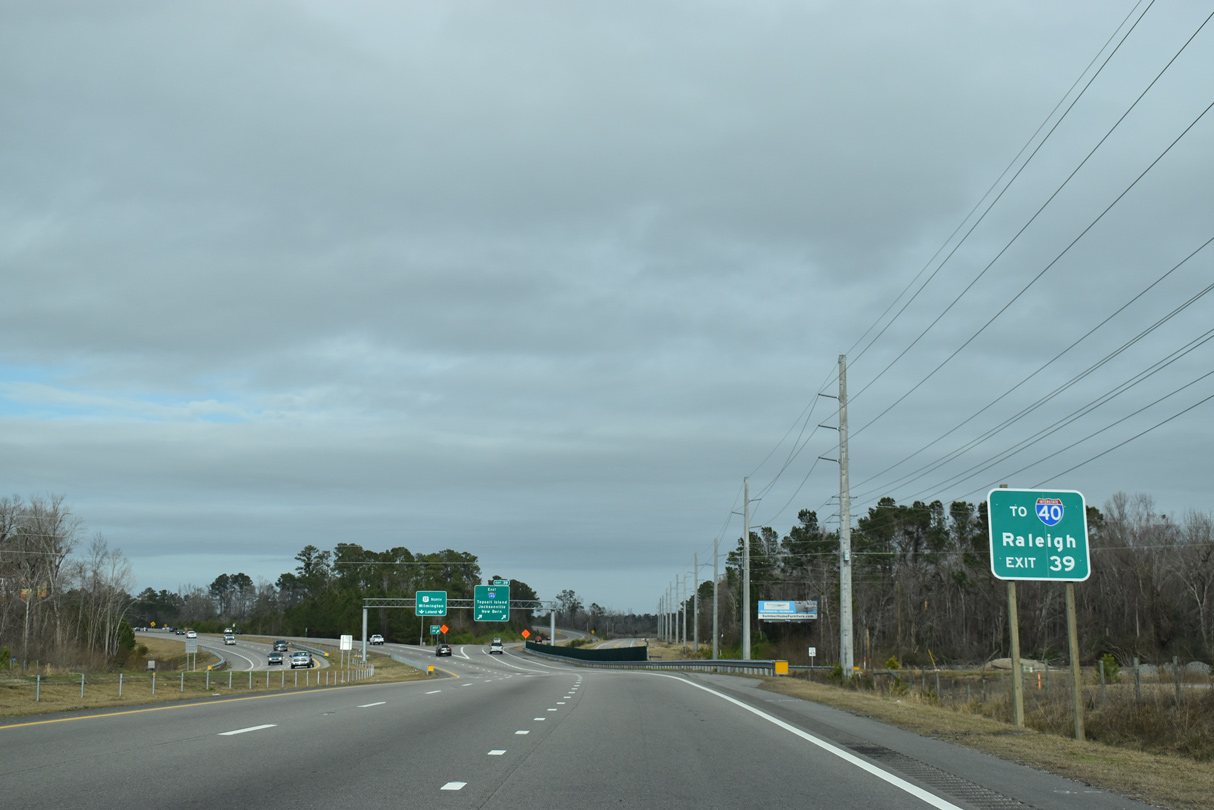
I-140 loops 25 miles north around Wilmington, connecting with I-40 and U.S. 17 again near Scotts Hill and the Pender County line.
01/19/19
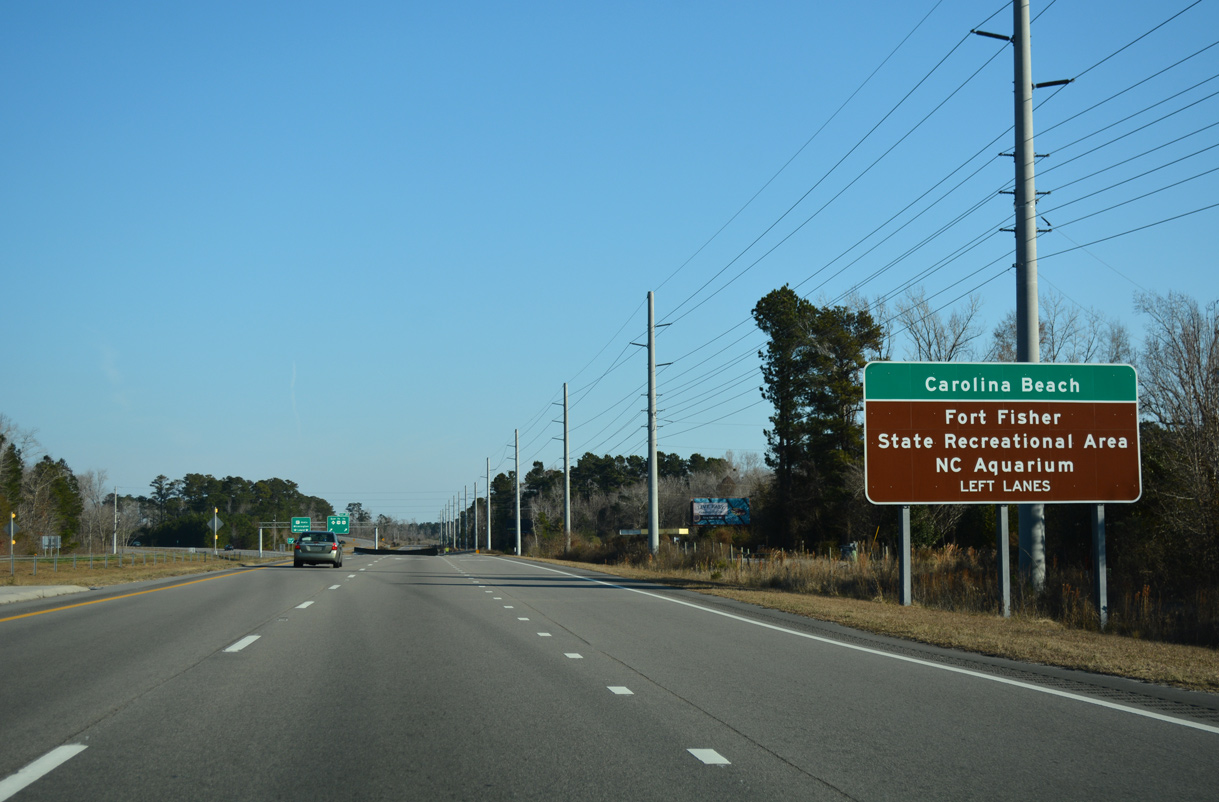
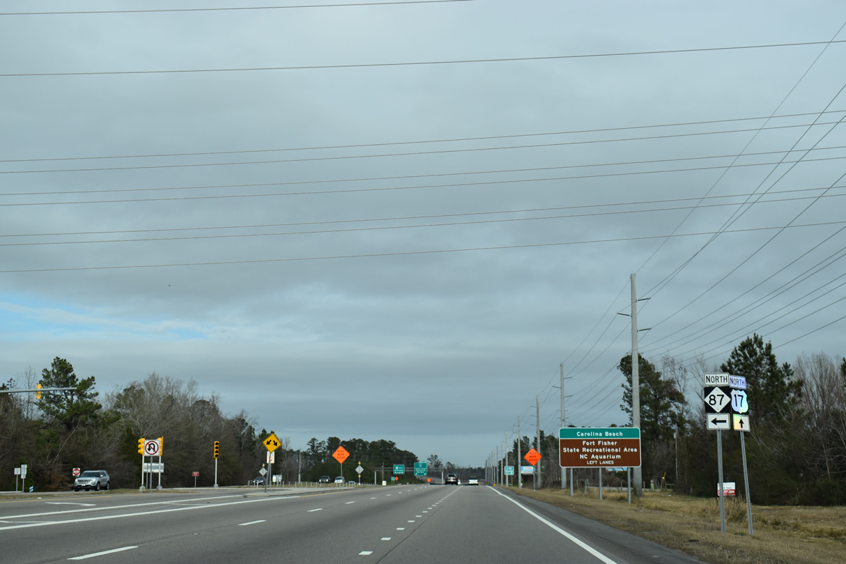
Tourists headed to Carolina Beach and Fort Fisher via U.S. 421 south are directed to remain along U.S. 17 through LeLand and Wilmington.
12/31/17
The western segment of Interstate 140 opened to traffic October 16, 2014. The 5.08 mile freeway north to U.S. 74/76 was signed as NC 140 until it linked with the rest of the Wilmington Bypass on December 19, 2017.
01/19/19
Leaving Bishop, U.S. 17 enters the outskirts of Leland and picks up traffic and nearby development.
12/31/17
Goodman Road east and Hewett-Burton Road north converge with U.S. 17 at a signalized J-turn by the community of Lanvale.
12/31/17

Reassurance marker posted ahead of the DOD Railroad underpass on U.S. 17 northbound.
12/31/17
Lowering from the DOD Railroad bridge, U.S. 17 reaches the Leland town limits. A J-turn follows with Lanvale Road ahead of The Villages at Brunswick Forest retail complex.
12/31/17
U.S. 17 transitions into a commercial arterial east of Jackeys Creek through LeLand. Succeeding intersections with side roads and area development utilize J-turns to eliminate cross traffic.
11/11/06
Traveling across Jackeys Creek, U.S. 17 approaches the J-turn with Grandflora Drive north and West Gate Drive south. Grandflora Drive winds northward into the Magnolia Greens golf course community while West Gate Drive serves commercial development on the south side.
11/11/06
A U-turn connects West Gate Drive with U.S. 17 southboud ahead of Grandflora Drive.
11/11/06
J-turns connect U.S. 17 with Ocean Gate Plaza south and Gregory Road north.
11/11/06
Ploof Road and Olde Waterford Way come together at the ensuing J-turn along U.S. 17 northbound. Olde Waterford Way heads north into the Waterford development. Ploof Road loops east to an industrial area, with a tightly packed subdivision stemming from it to the southeast.
11/11/06
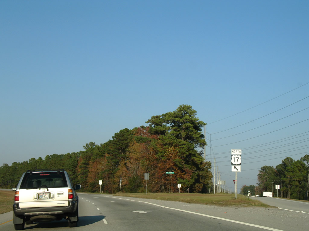
One half mile south of the trumpet interchange with U.S. 74/76. U.S. 74/76 follow a freeway bypass of older areas of Leland and Belville between the Brunswick River and Lanvale Road.
11/11/06
Blackwell Road branches northeast from U.S. 17 to NC 133 (River Road) at Belville. Blackwell Road represents the pre-freeway alignment of U.S. 17.
11/11/06

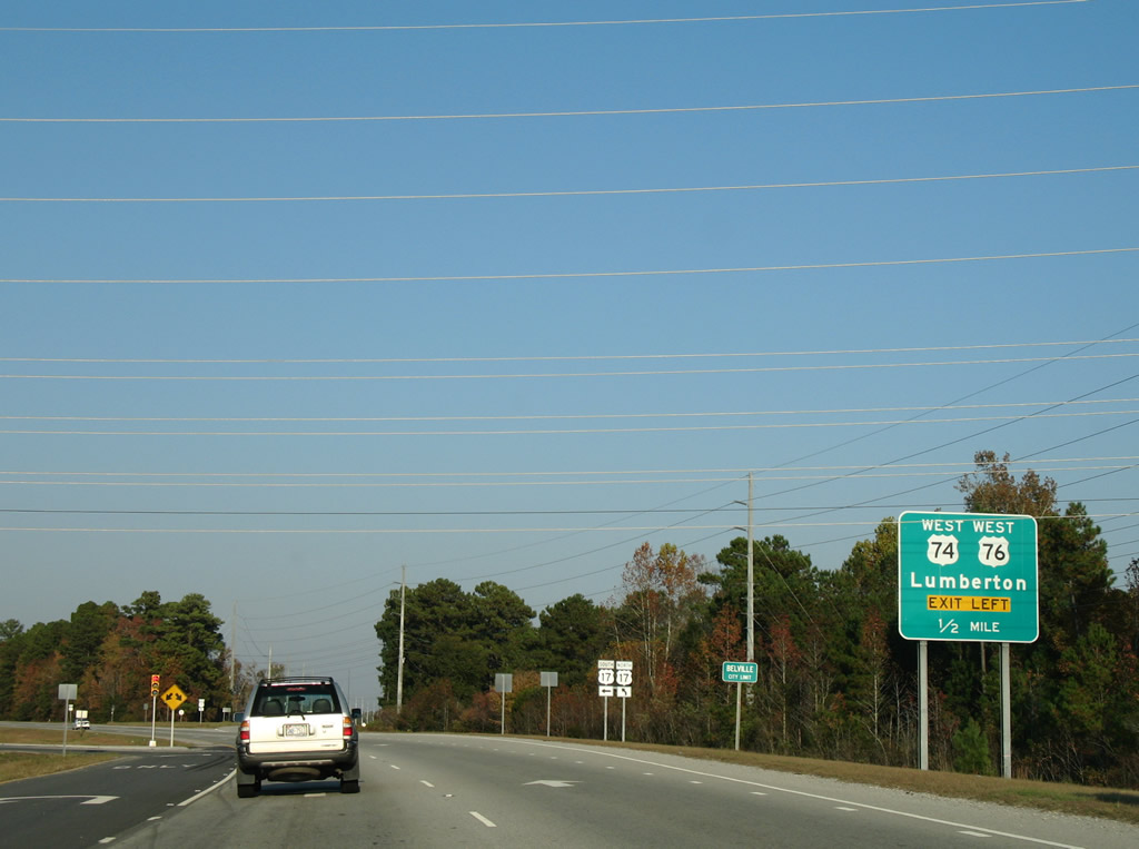
Curving northward, U.S. 17 approaches the merge with U.S. 74/76 east. The three routes combine for 3.08 miles to U.S. 421 on Eagle Island.
11/11/06
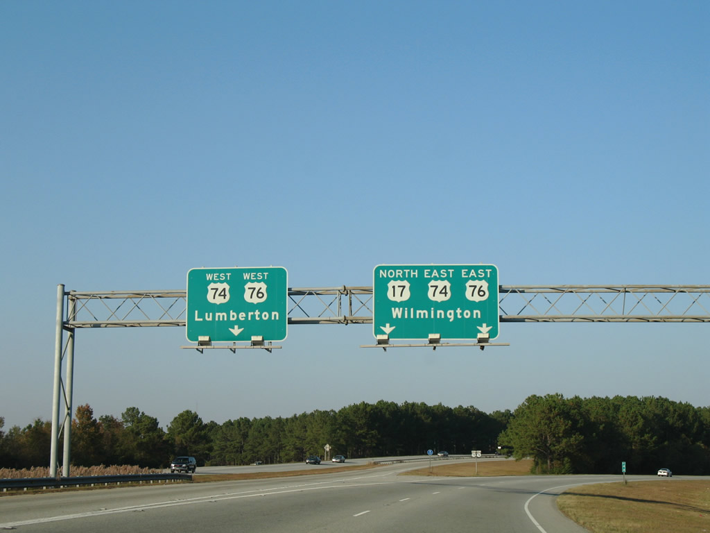
U.S. 74/76 travel 54 miles west mostly along an expressway to Whiteville and Chadbourn. Lumberton lies northward along U.S. 74/I-74 at Interstate 95.
11/11/06
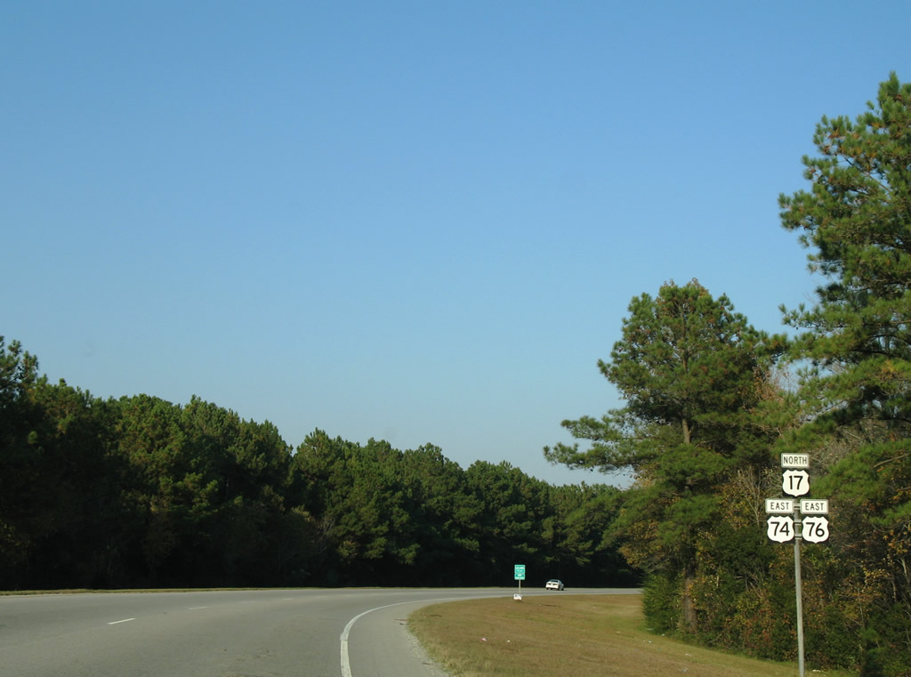
Reassurance markers posted on the transition ramp from U.S. 17 north to U.S. 74/76 east.
11/11/06
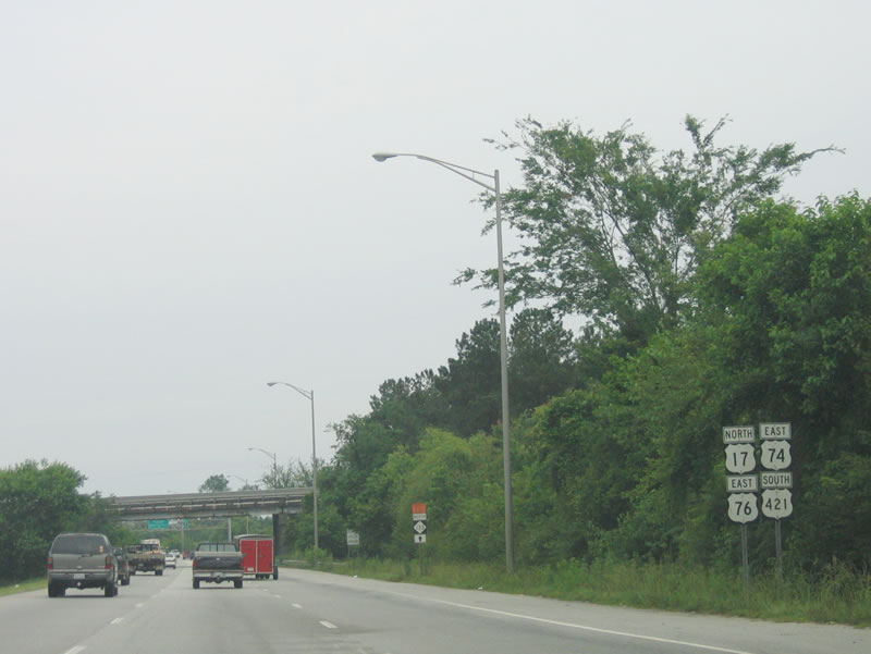
This was the lone reassurance shield assembly for U.S. 17 north, U.S. 74-76 east and U.S. 421 south.
06/01/05
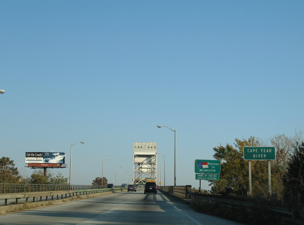
U.S. 17-76-421 enter New Hanover County and the city of Wilmington across the Cape Fear River.
11/11/06
Photo Credits:
- Alex Nitzman, Justin Cozart: 11/11/06
- Alex Nitzman: 12/31/17
- Brent Ivy: 01/19/19
- Andy Field: 06/01/05
Connect with:
Page Updated Tuesday August 04, 2020.