
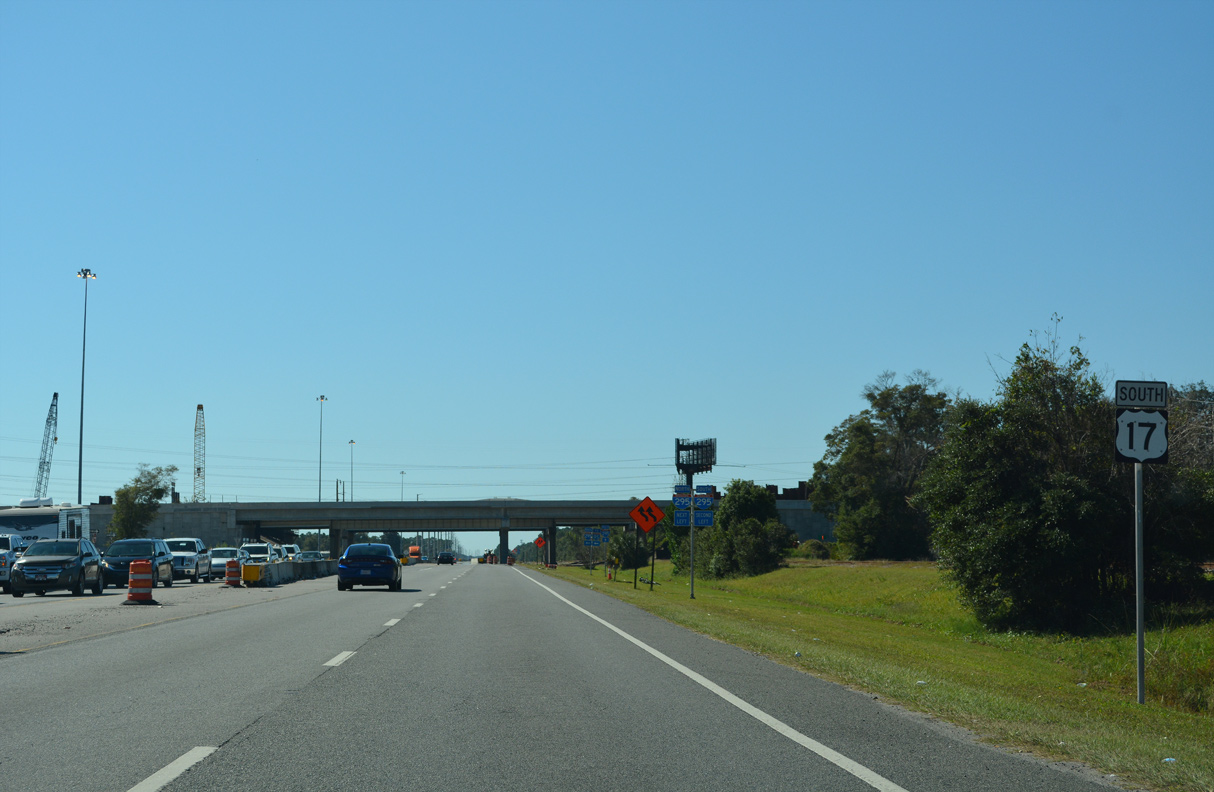
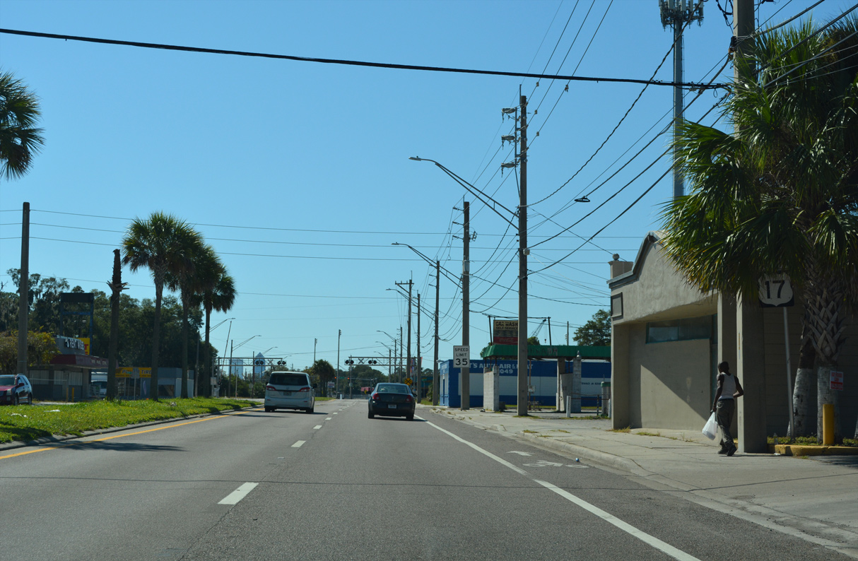
U.S. 17 South - Georgia to Downtown Jacksonville

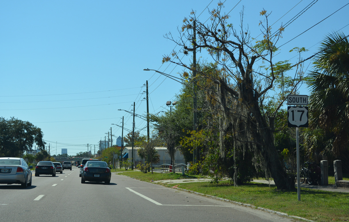
 South
South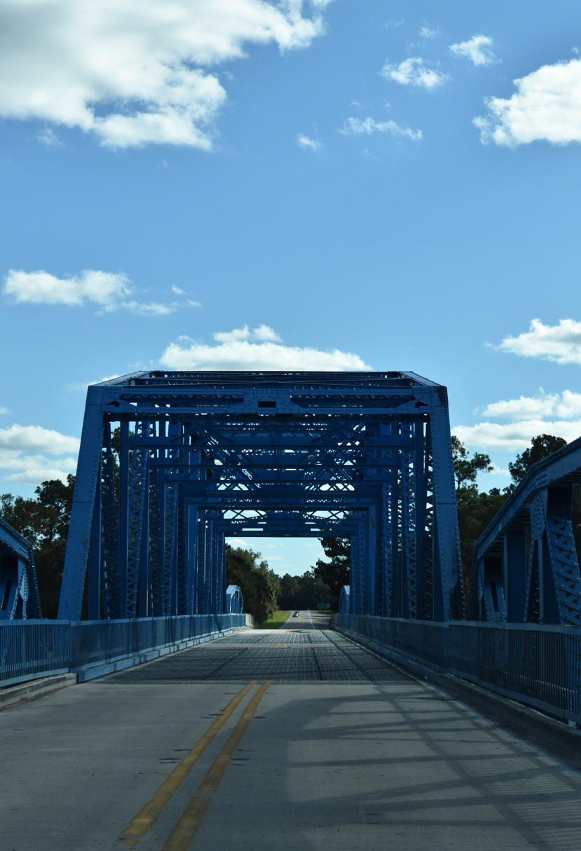
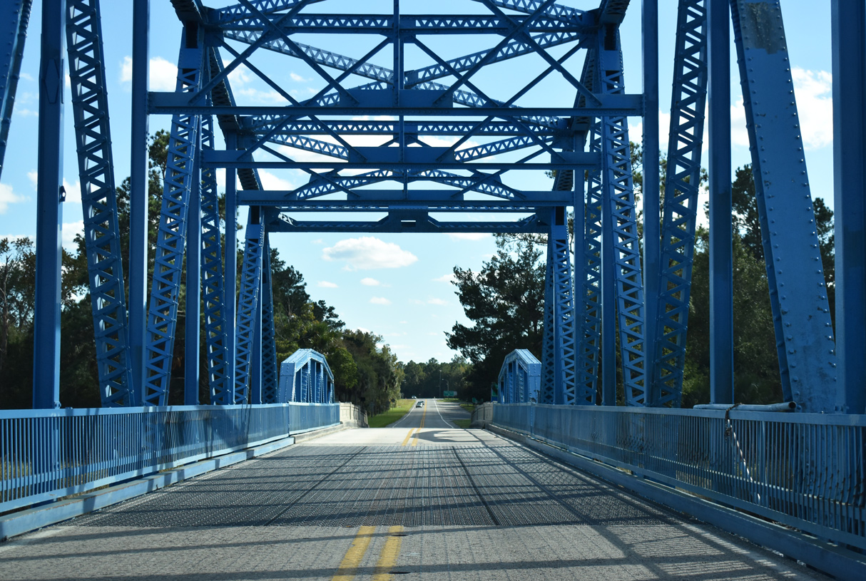
The warren through truss swing bridge taking U.S. 17 across the St. Mary's River was completed February 1927 and rehabilitated in 2005 (Baughn, n.d.).
10/15/23
10/15/23
10/15/23
10/15/23
10/15/23

10/15/23

10/15/23
10/15/23
10/15/23
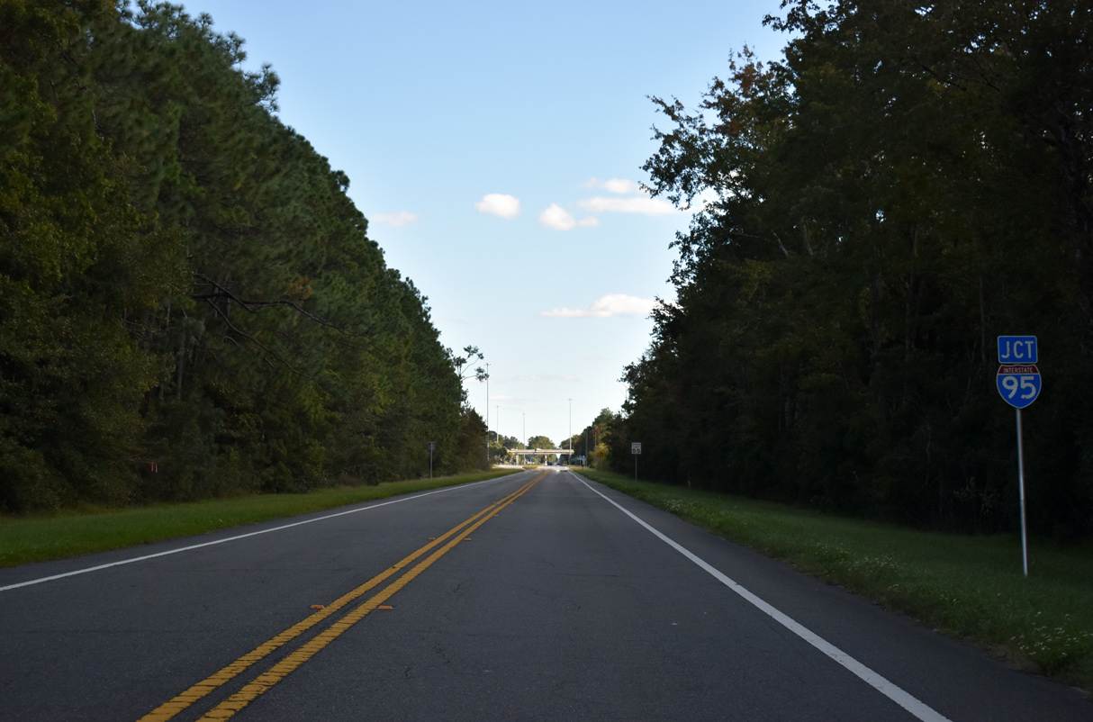
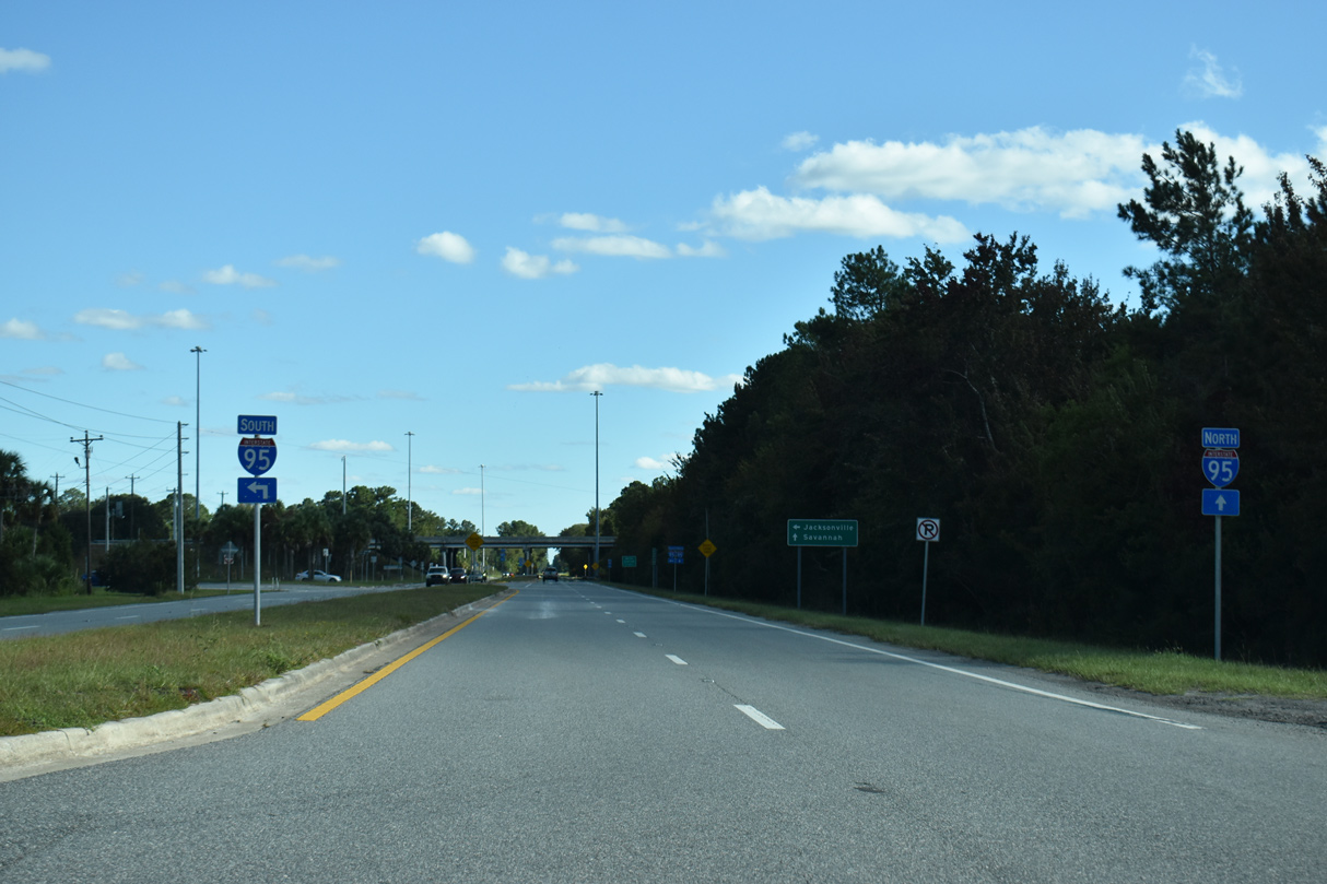
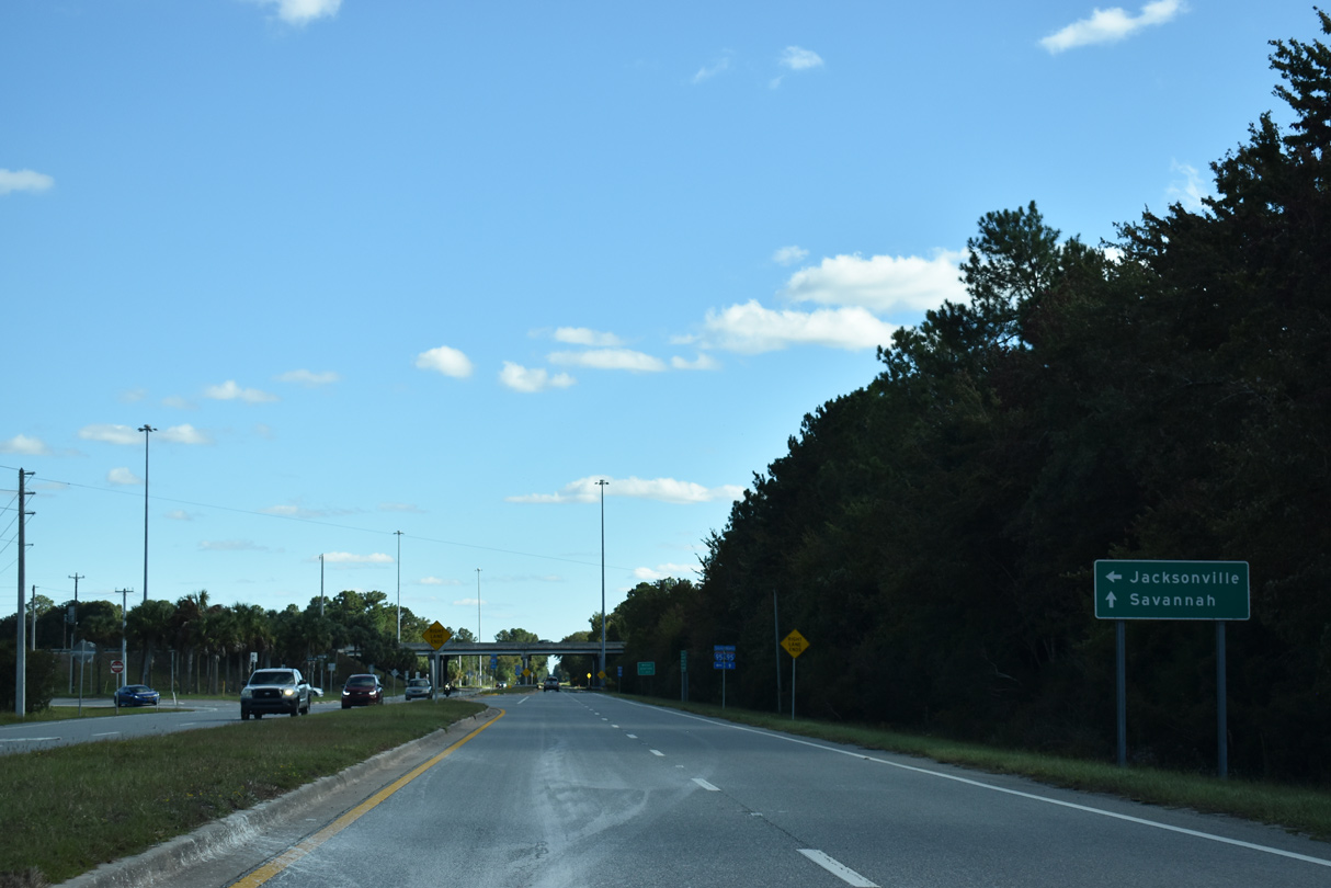
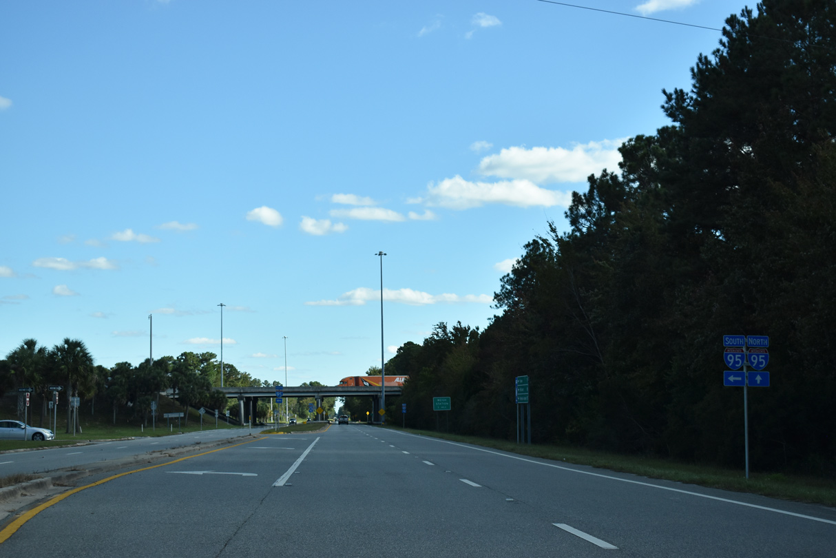
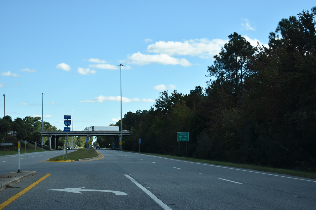
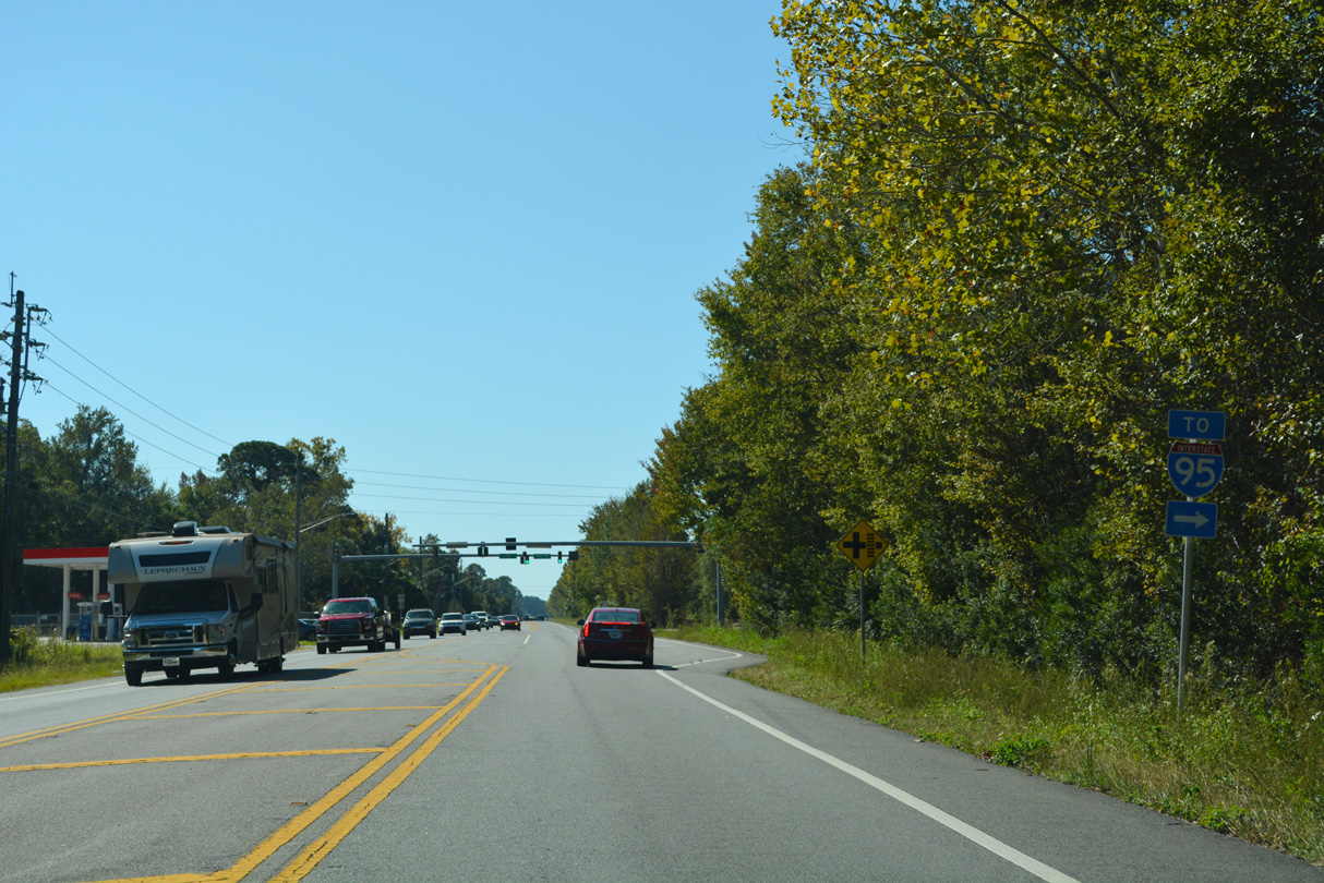
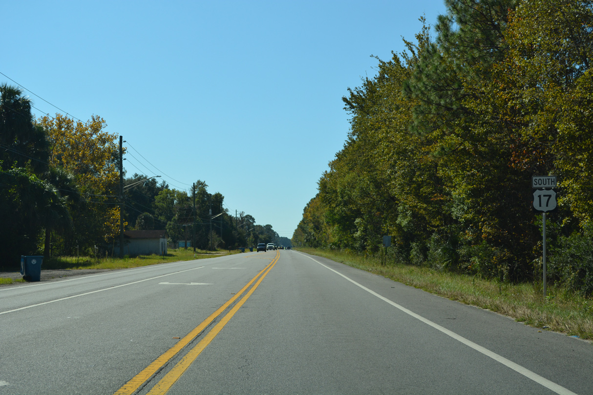
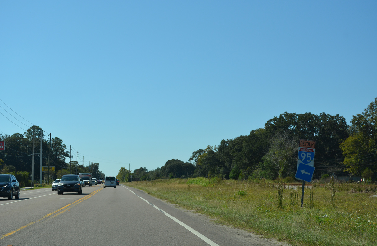
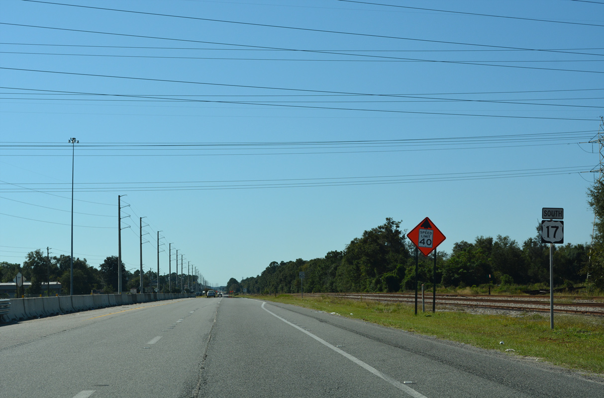
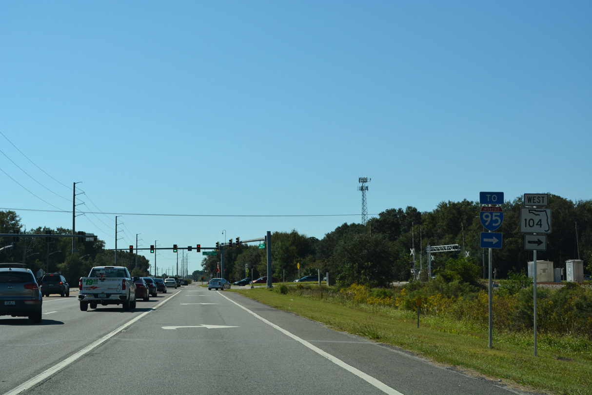
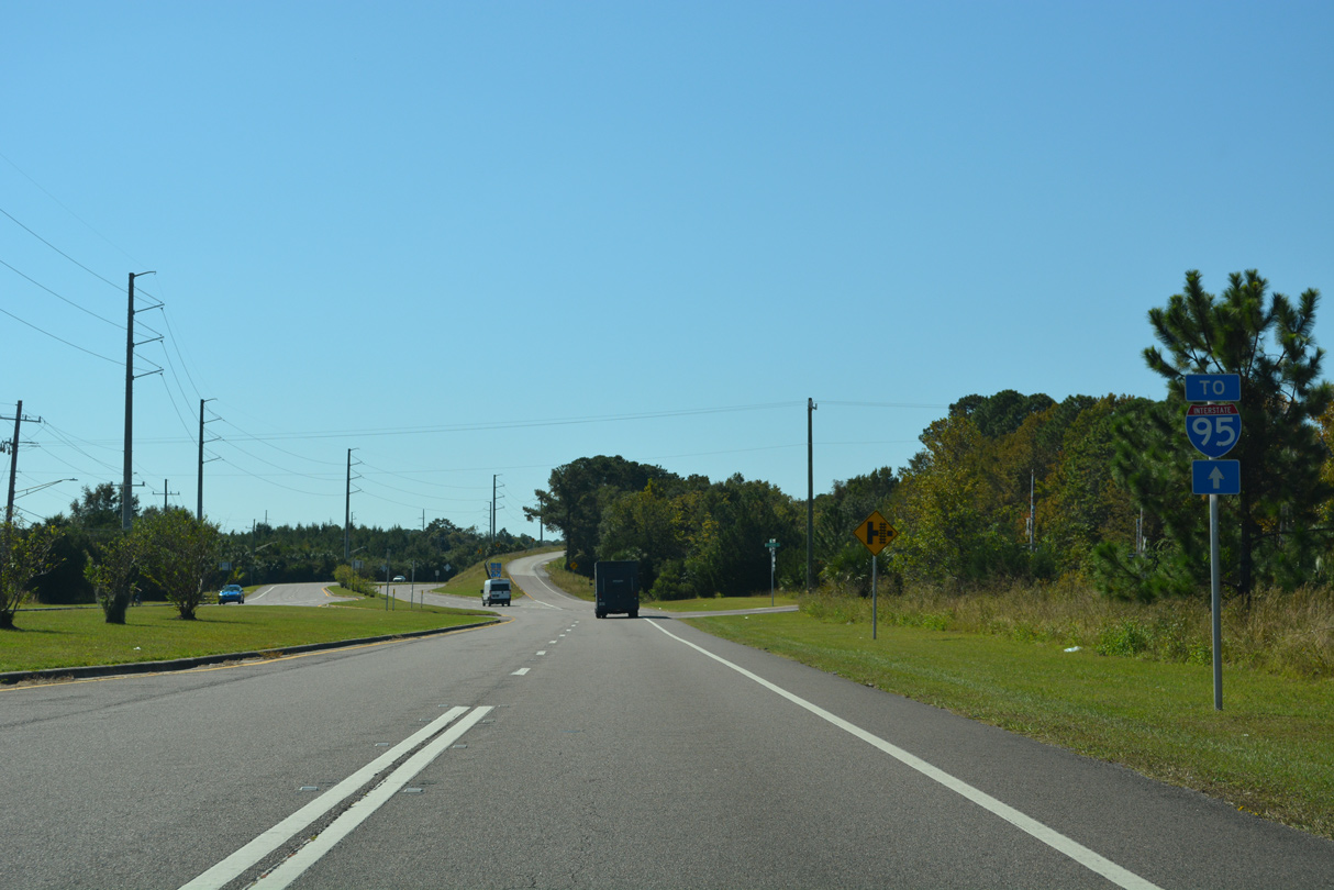
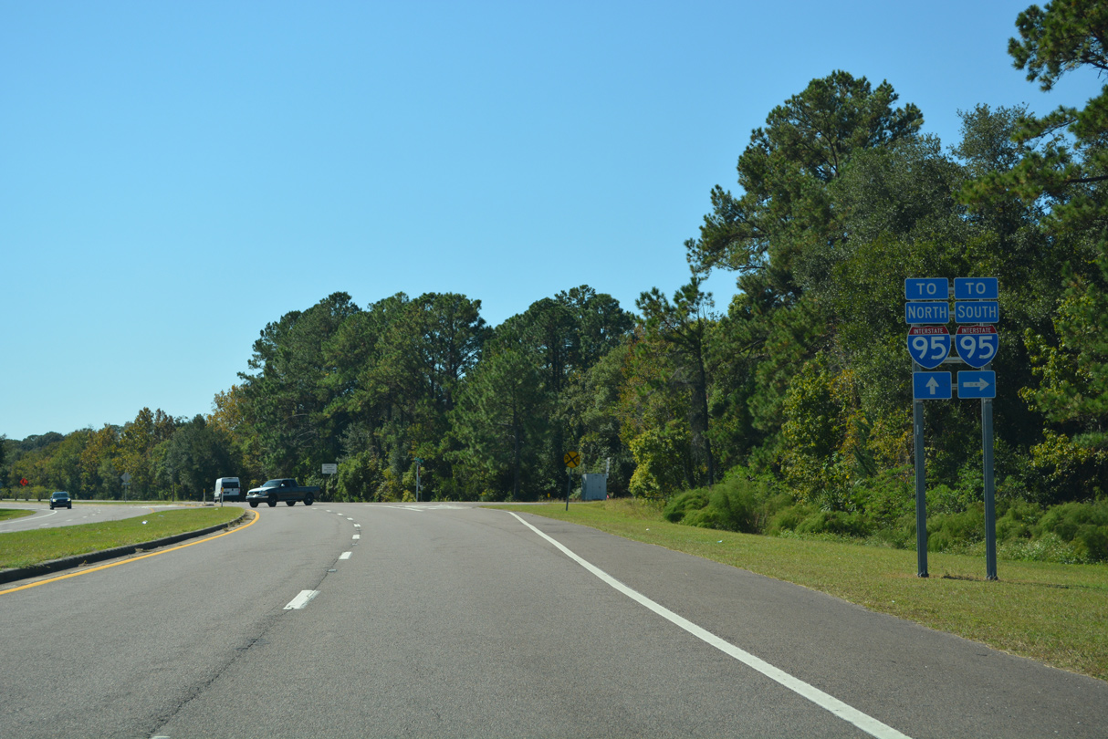
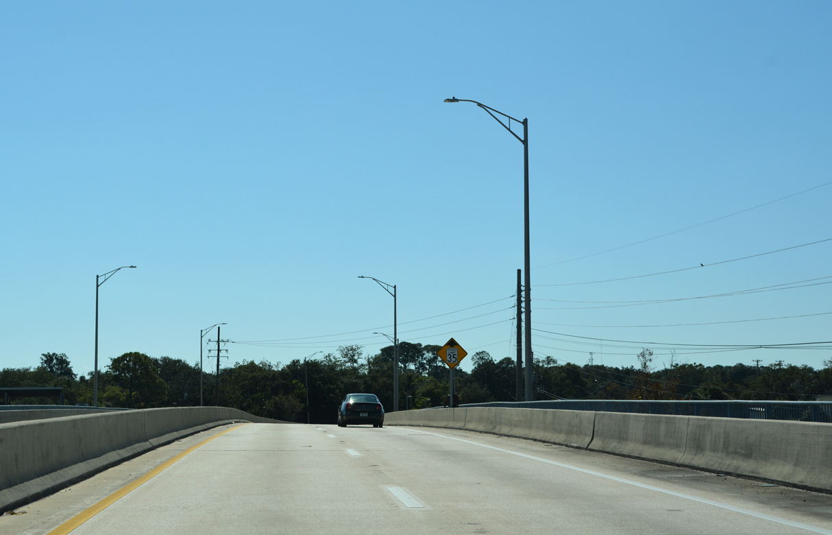
U.S. 17 south meets Interstate 95 at a folded diamond interchange in one half mile.
10/15/23
10/15/23
10/15/23
10/15/23
10/15/23
10/15/23
10/15/23
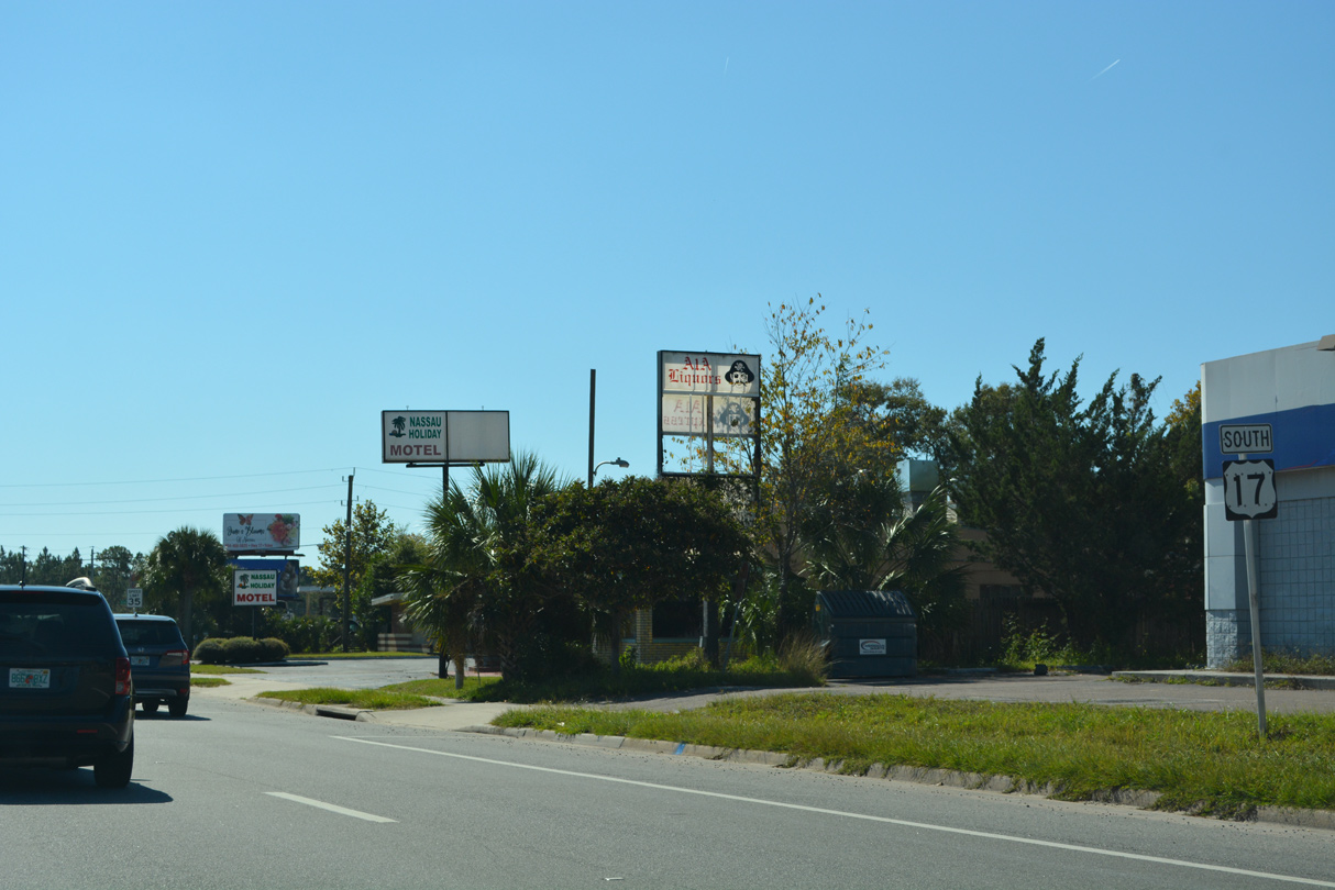
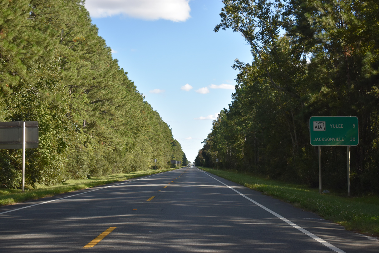
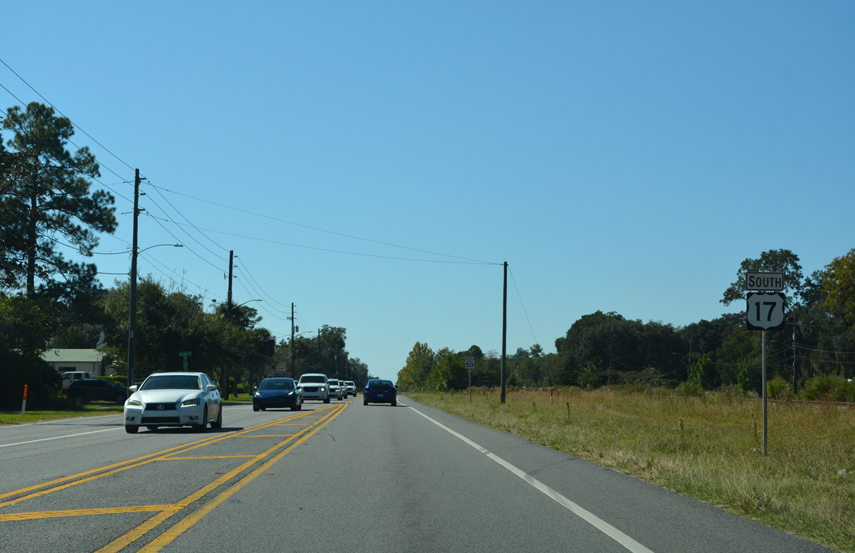
Confirming marker posted south of SR A1A/200 in Yulee.
10/16/22
10/16/22
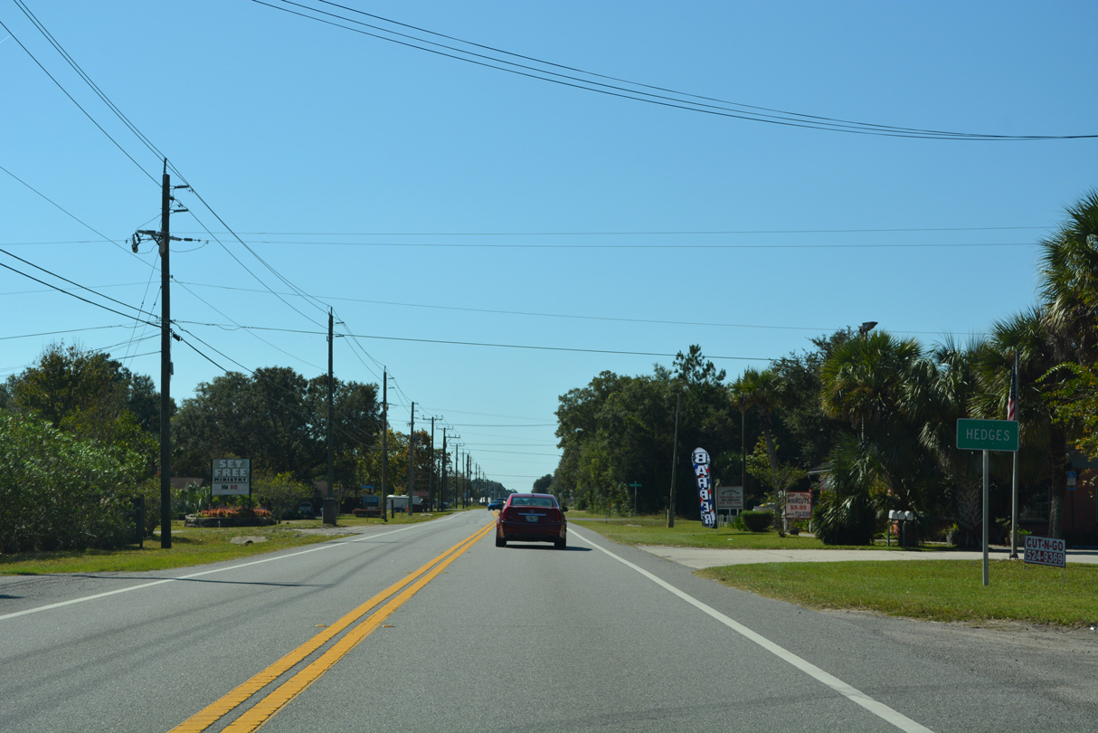
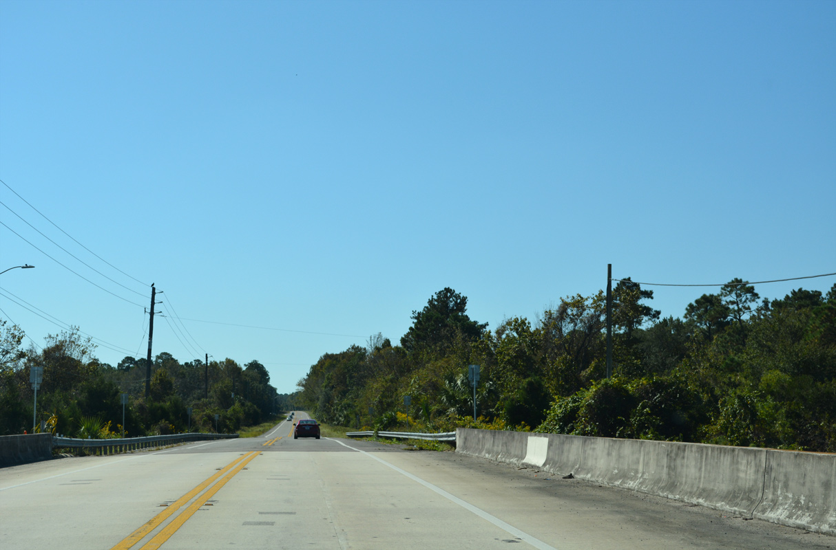
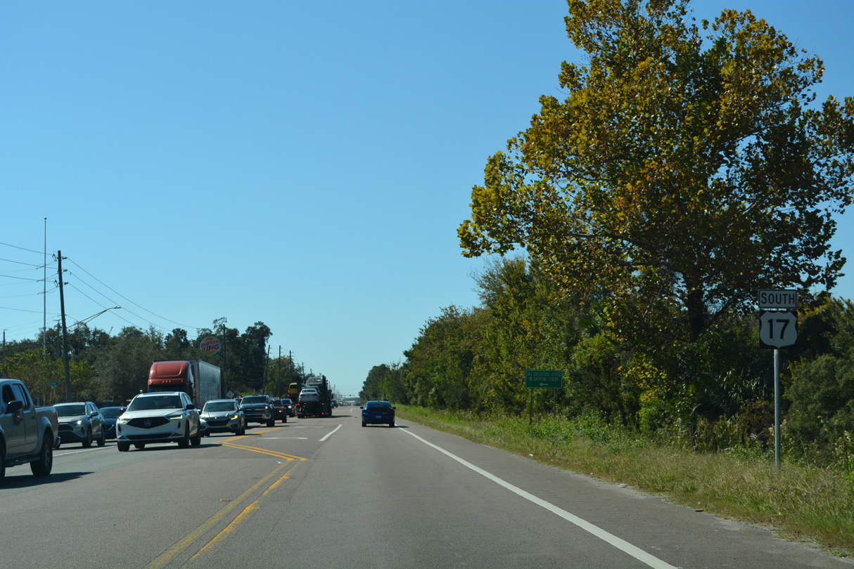
U.S. 17 continues south from Yulee to Hedges.
10/16/22
10/16/22
10/16/22
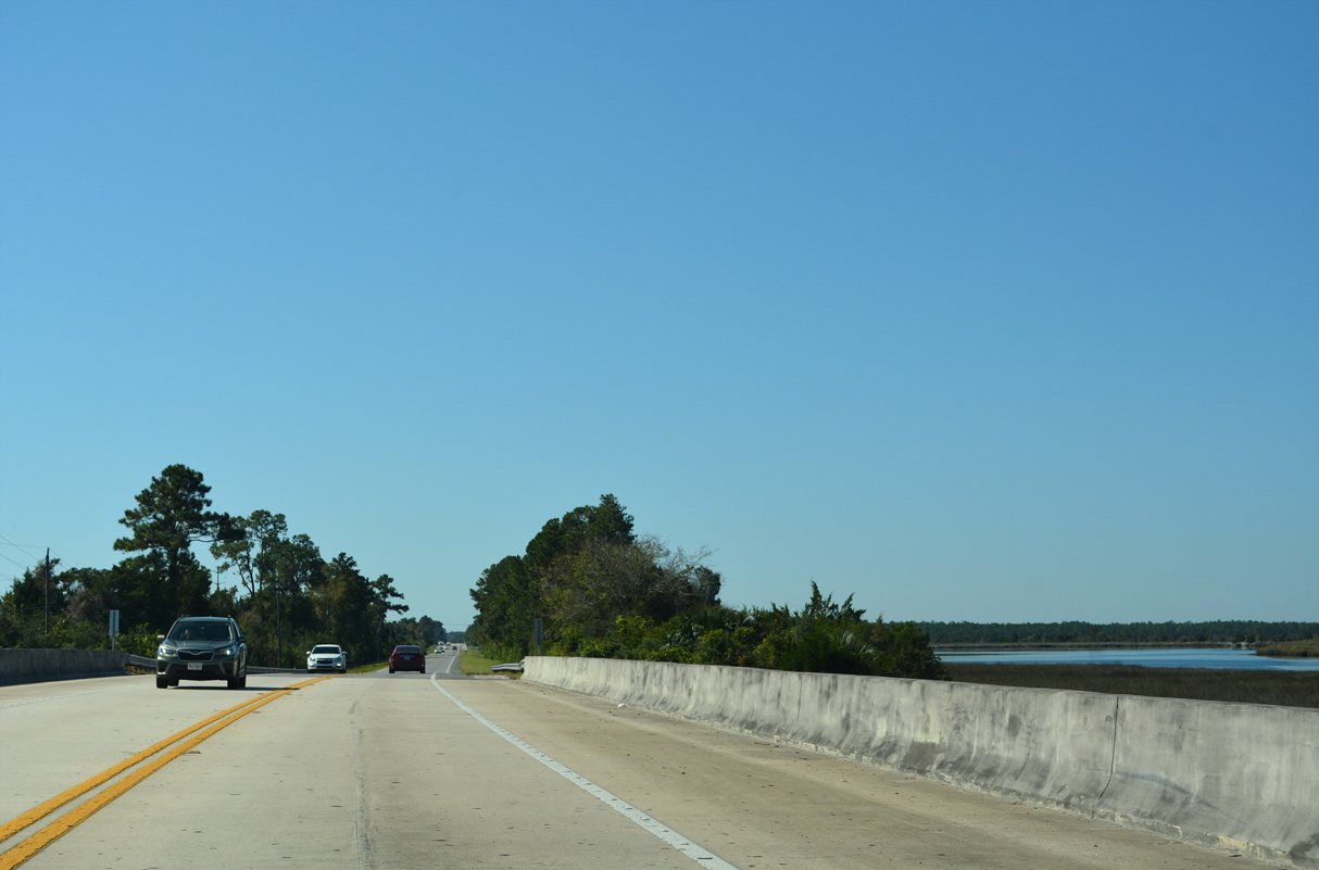
The Nassau River comes into view along the west side of U.S. 17.
10/16/22
10/16/22
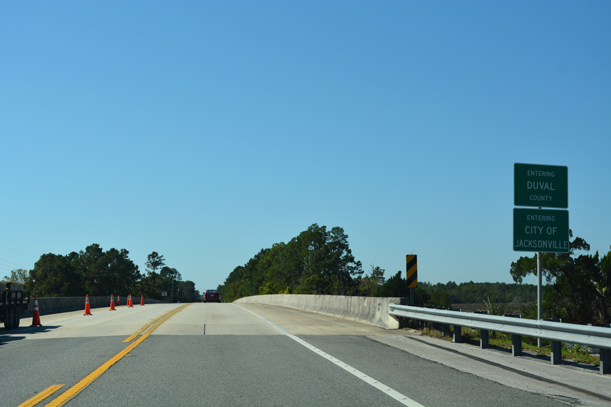
Crossing the Nassau River, U.S. 17 south enters both the city of Jacksonville and Duval County.
10/16/22
10/16/22
U.S. 17 south spans Inconstantion Creek ahead of the first suburban areas in Jacksonville.
10/16/22
10/16/22
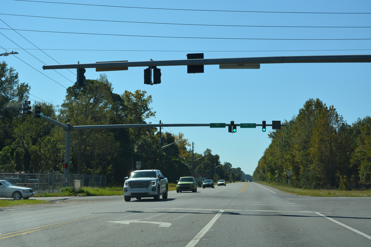
Pecan Park Road represents the first in a series of roads linking U.S. 17 with parallel Interstate 95 to the west.
10/16/22
10/16/22
Pecan Park Road west becomes part of SR 243 between I-95 and International Airport Boulevard south.
10/16/22
10/16/22
The first reassurance marker for U.S. 17 posted southbound in Jacksonville.
10/16/22
10/16/22
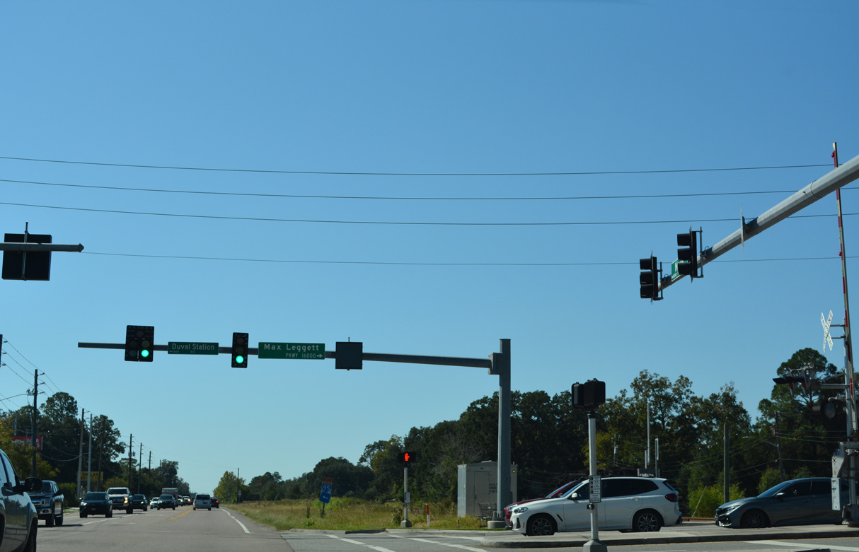
Max Leggett Parkway east and Duval Station Road west come together at the succeeding traffic light. Duval Station Road leads east to the Jamestown neighborhood of Jacksonville.
10/16/22
10/16/22
10/16/22
U.S. 17 (N Main Street) south at Broad Street in the Duval neighborhood of Jacksonville.
10/16/22
10/16/22
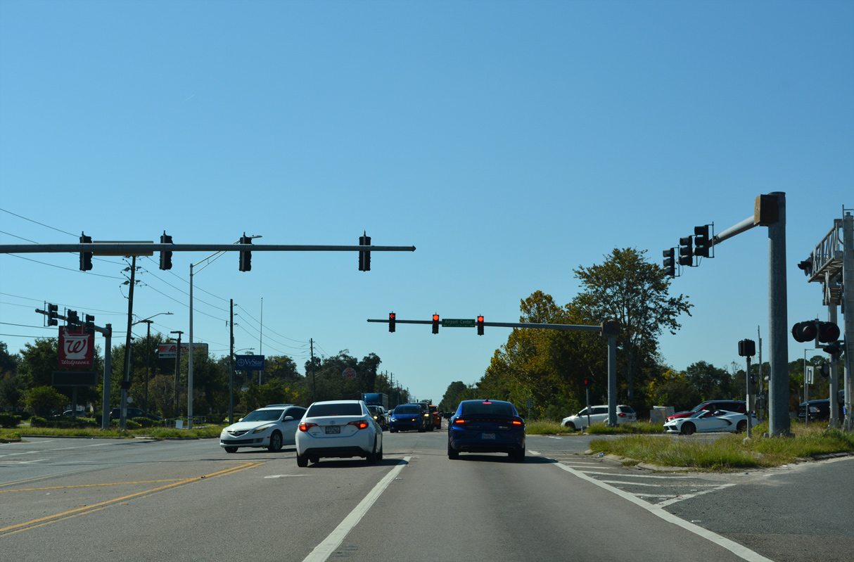
Airport Center Drive ties into Max Leggett Parkway at the sprawling River City Marketplace retail area adjacent to Interstate 95.
10/16/22
10/16/22
10/16/22

Oceanway Avenue provides a cut off from U.S. 17 south to New Berlin Road east.
10/16/22
10/16/22
New Berlin Road meets U.S. 17 at Cole Road west from the Oceanway area of Northside Jacksonville.
10/16/22
10/16/22
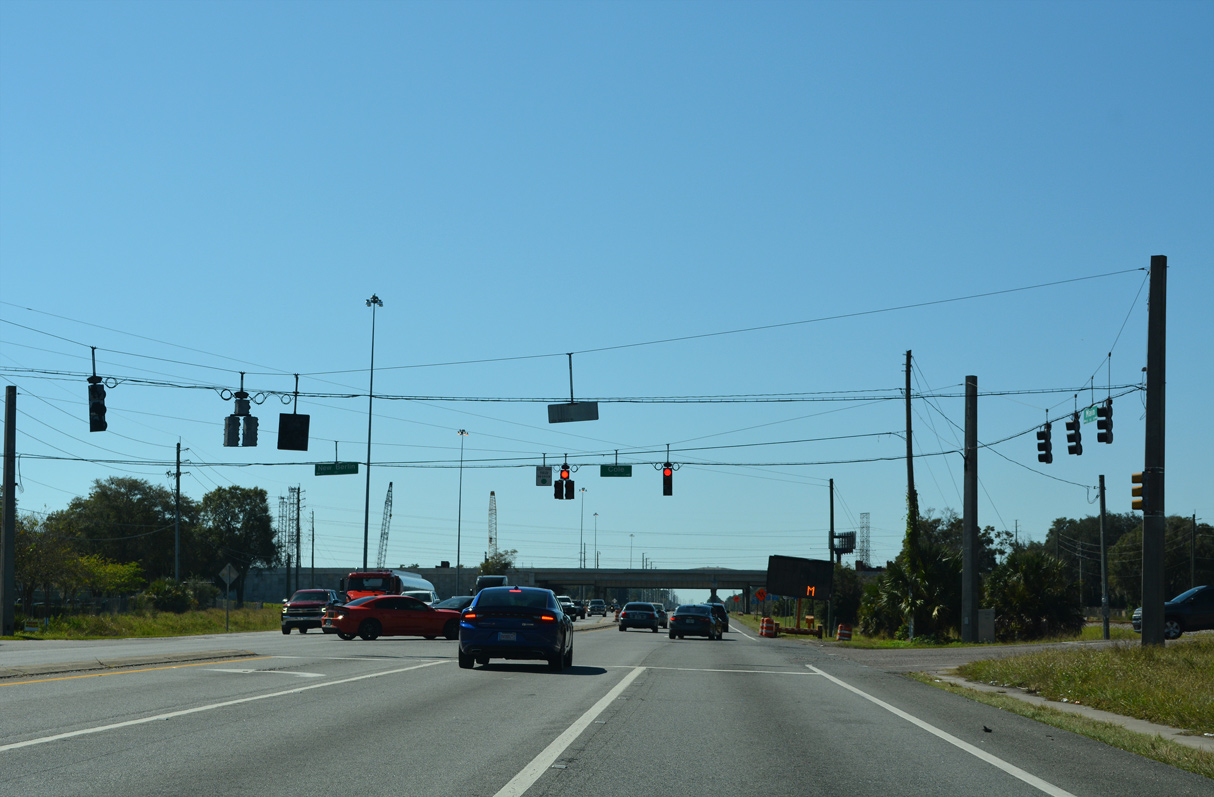
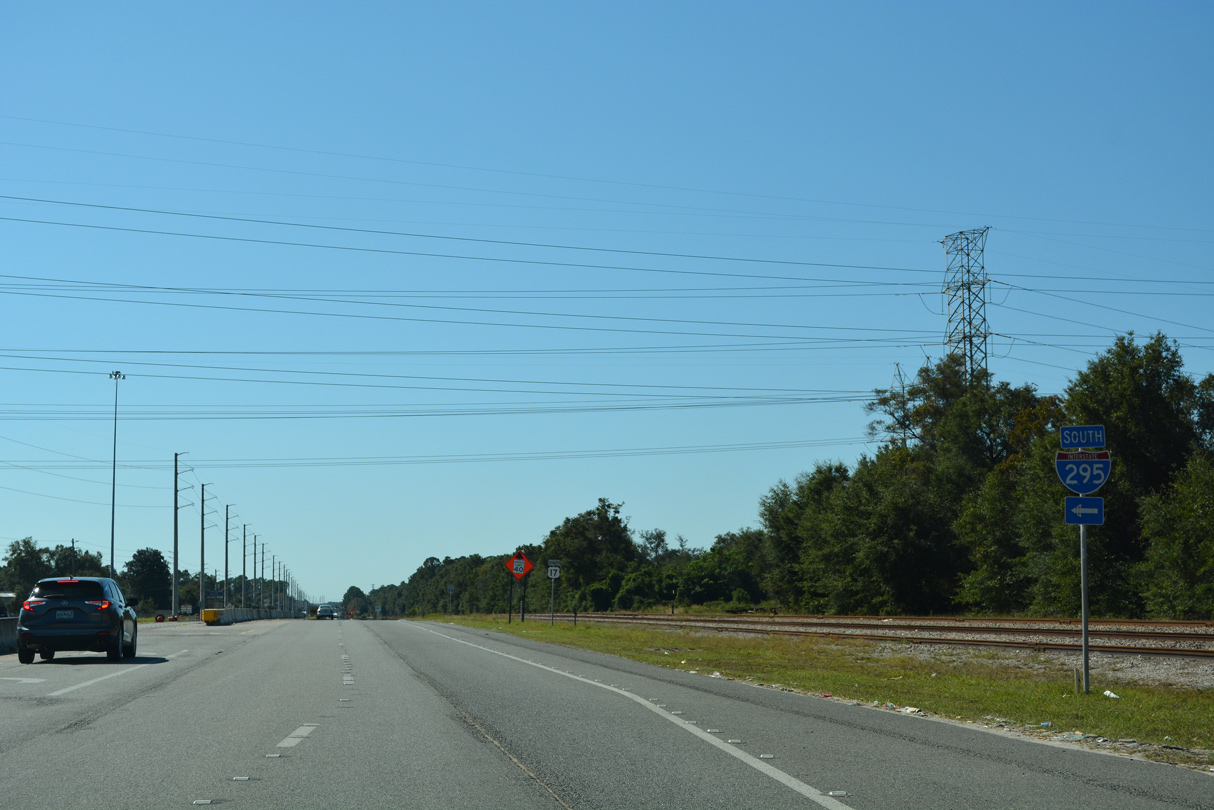
Remaining parallel to a CSX Railroad line, U.S. 17 (N Main Street) proceeds south from New Berlin Road into a folded diamond interchange with Interstate 295.
10/16/22
10/16/22
10/16/22
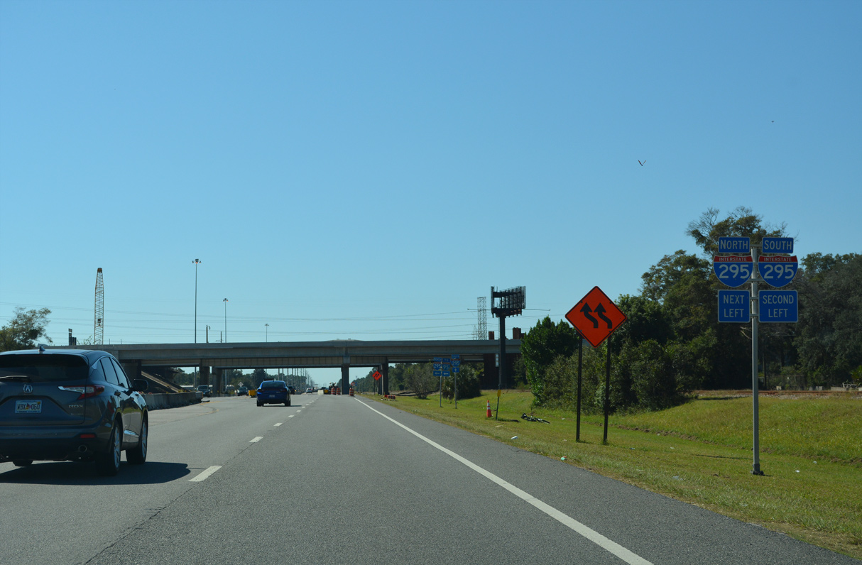
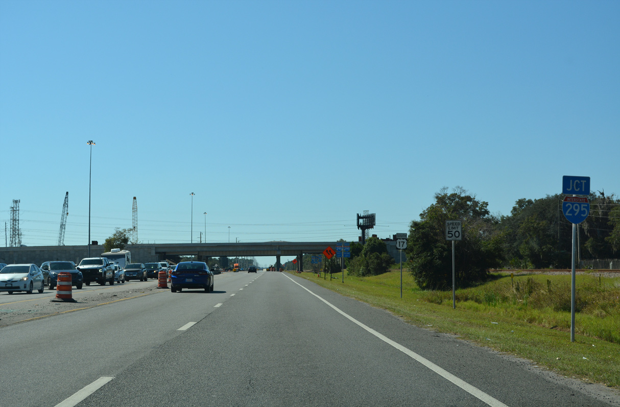
The East Beltway of Interstate 295 encircles Jacksonville south from I-95 at Turtle Creek to I-95 at Mandarin Station.
10/16/22
10/16/22
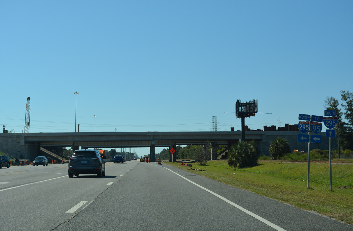
Interstate 295 northbound connects with I-95 at a systems interchange to the immediate west of U.S. 17 (N Main Street).
10/16/22
10/16/22
10/16/22
10/16/22
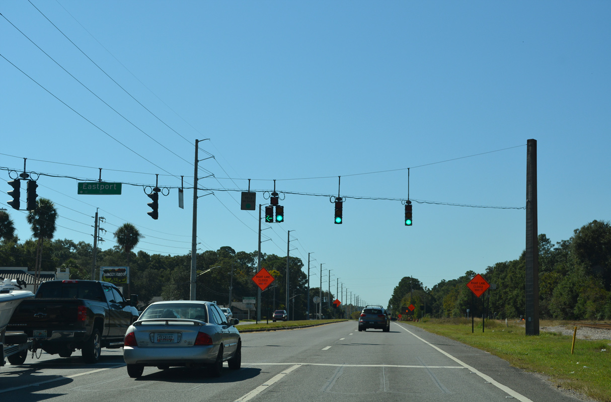
Eastport Road arcs southeast around the San Mateo neighborhood to SR 105 (Zoo Parkway) at East Point.
10/16/22
10/16/22
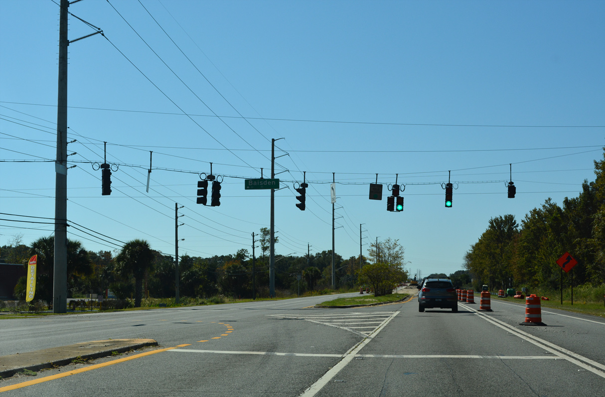
Baisden Road stems east from U.S. 17 (N Main Street) into the San Mateo community.
10/16/22
10/16/22
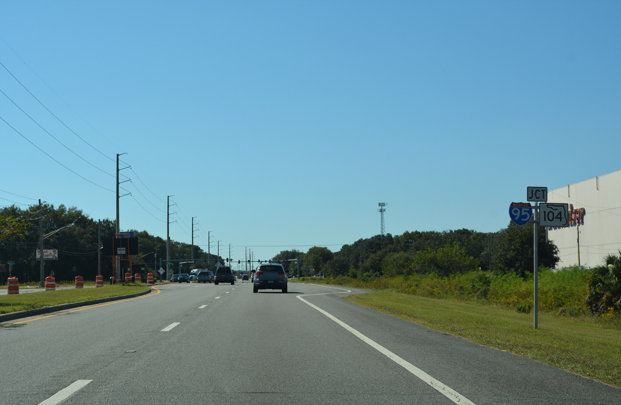
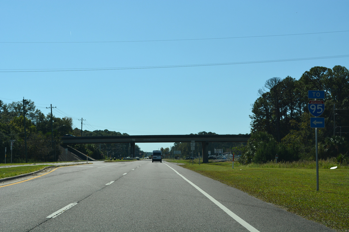
SR 104 (Busch Drive) concludes just east of Interstate 95 at U.S. 17. Busch Drive continues east and south from SR 104 as unsigned CR 163, 2.19 miles to SR 105 (Zoo Parkway).
10/16/22
10/16/22
SR 104 is an arterial route running 7.57 miles west to U.S. 1/23 near the Dinsmore community in Jacksonville.
10/16/22
10/16/22
Confirming marker posted south of SR 104 (Busch Drive) west.
10/16/22
10/16/22
10/16/22
10/16/22
10/16/22

An off-ramp joins U.S. 17 (N Main Street) southbound with Clark Road west across a CSX Railroad line and Sisson Drive. A loop ramp connects Clark Road with I-95 south nearby.
10/16/22
10/16/22
U.S. 17 intersects the east end of Clark Road beyond the exit ramp.
10/16/22
10/16/22
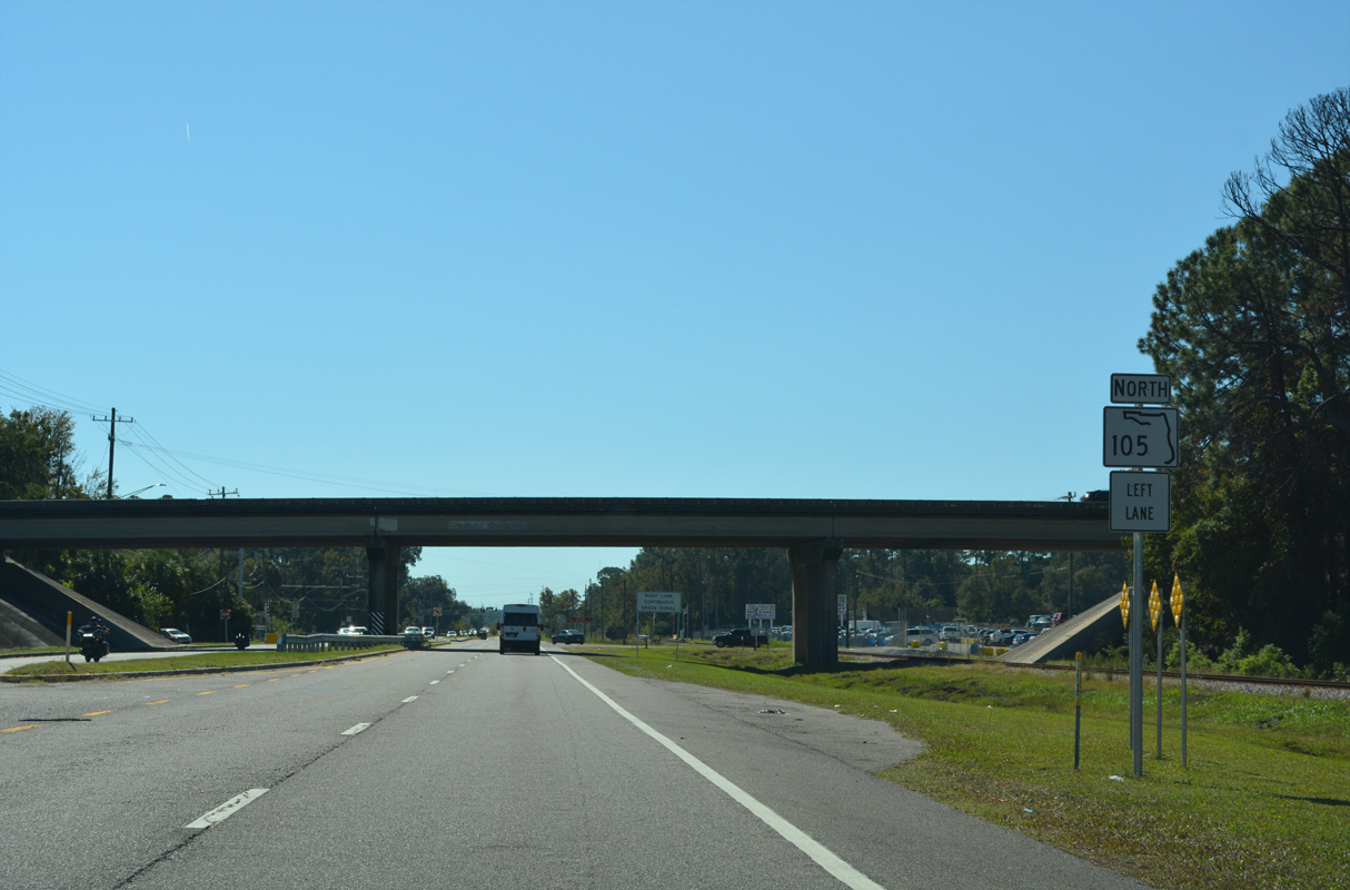
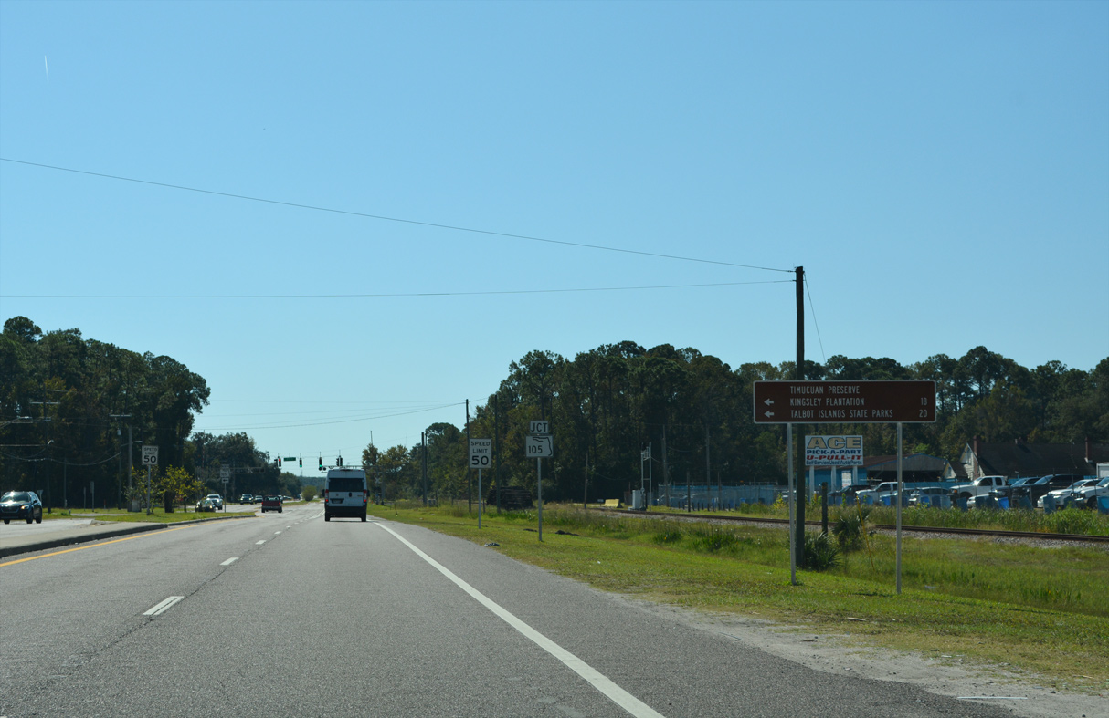
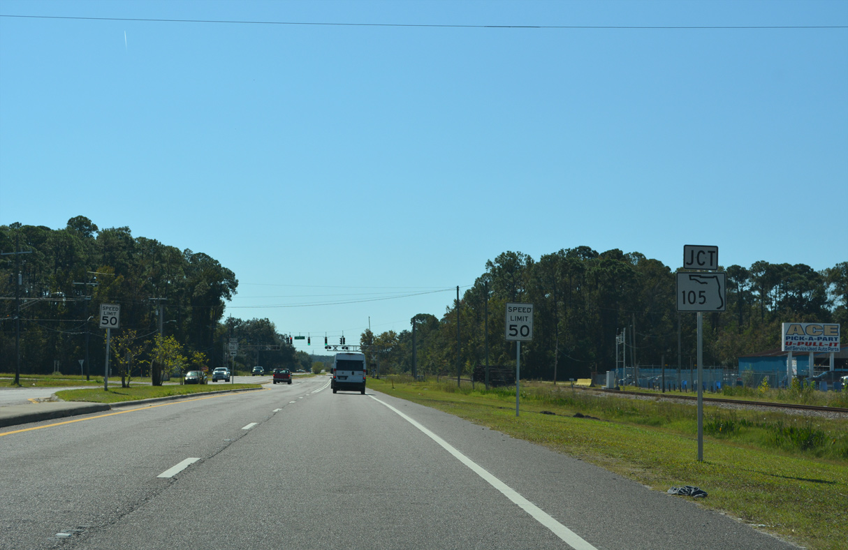
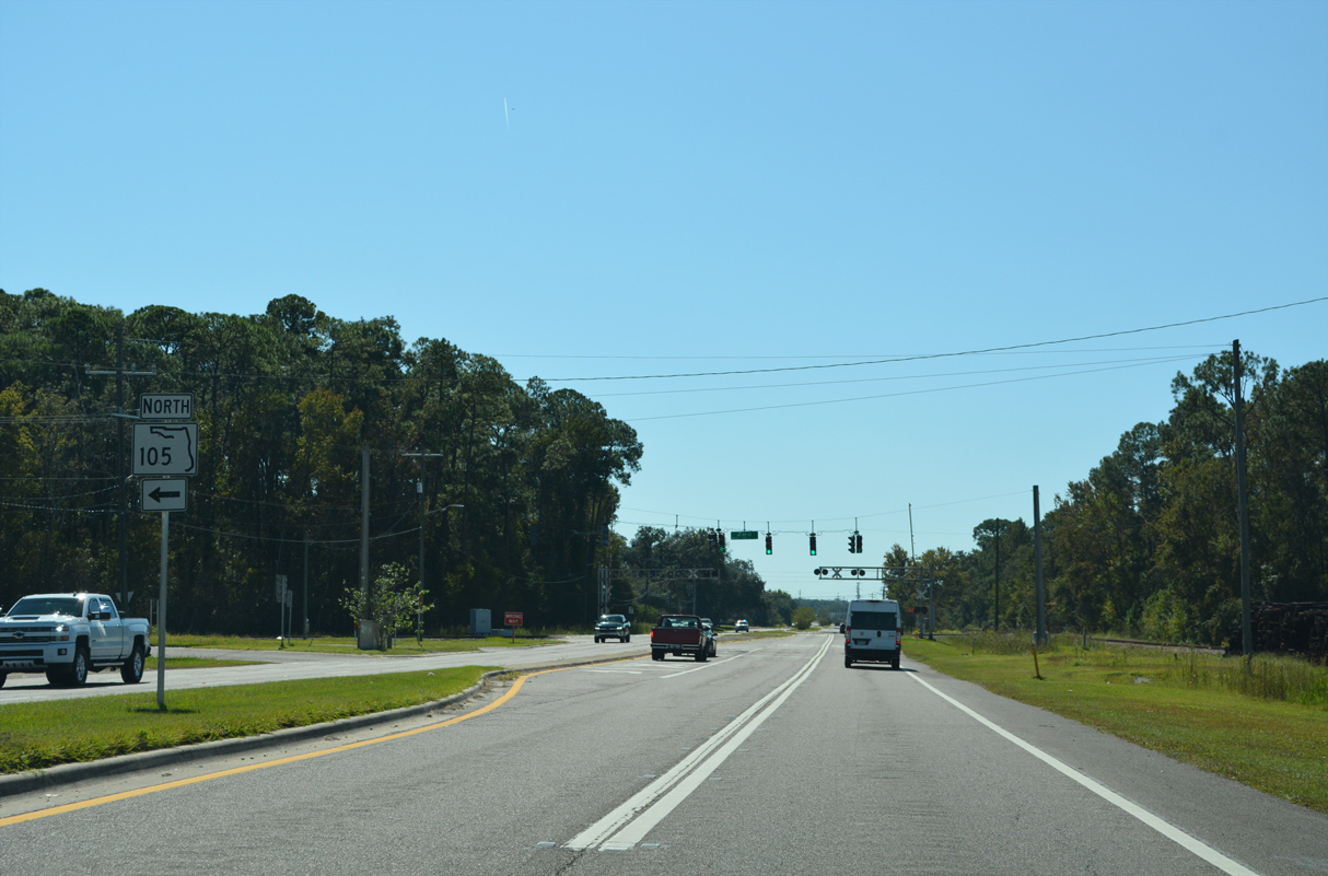
A folded diamond interchange joins U.S. 17 with SR 105 (Zoo Parkway). The ramp for SR 105 southbound references only the link to I-95.
10/16/22
10/16/22
SR 105 travels 15.06 miles east from Interstate 95 to SR A1A at the ferry to Mayport.
10/16/22
10/16/22
10/16/22
10/16/22
10/16/22
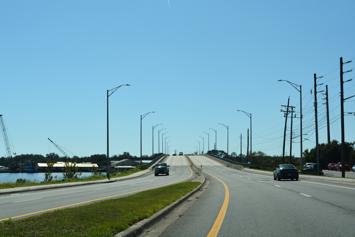
U.S. 17 (N Main Street) spans the Trout River south from Hollyford to Panama Park and Tallulah / North Shore in Jacksonville.
10/16/22
10/16/22
The bridge taking U.S. 17 across the Trout River was built in 1956 and reconstructed in 2013.
10/16/22
10/16/22
10/16/22
10/16/22
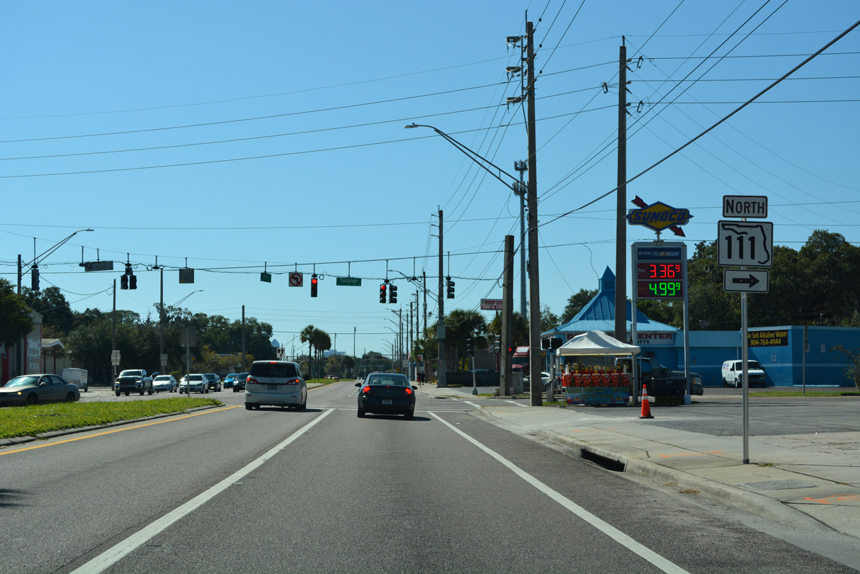
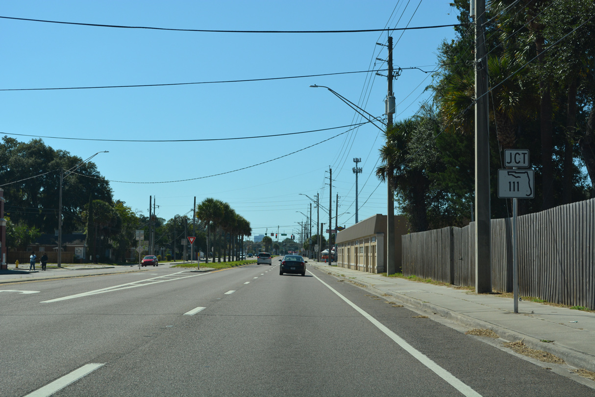
SR 111 constitutes an 11.88 mile long urban arterial loop from U.S. 17 (N Main Street) northwest to Lake Forrest, southwest to Biltmore and south to SR 21 (Blanding Boulevard) at Lakeshore.
10/16/22
10/16/22
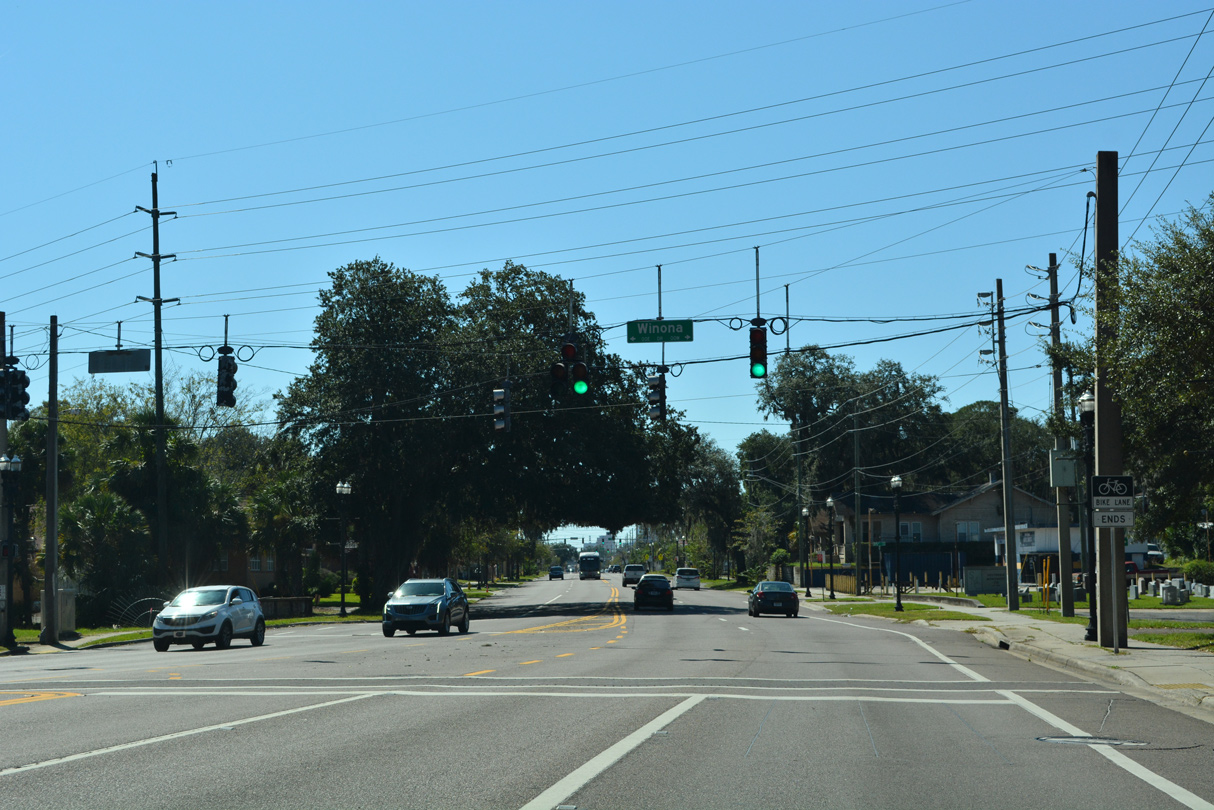
Confirming marker posted south along Main Street between SR 111 (Tallulah Avenue) and 55th Street at the Tallulah / North Shore neighborhood in Jacksonville.
10/16/22
10/16/22
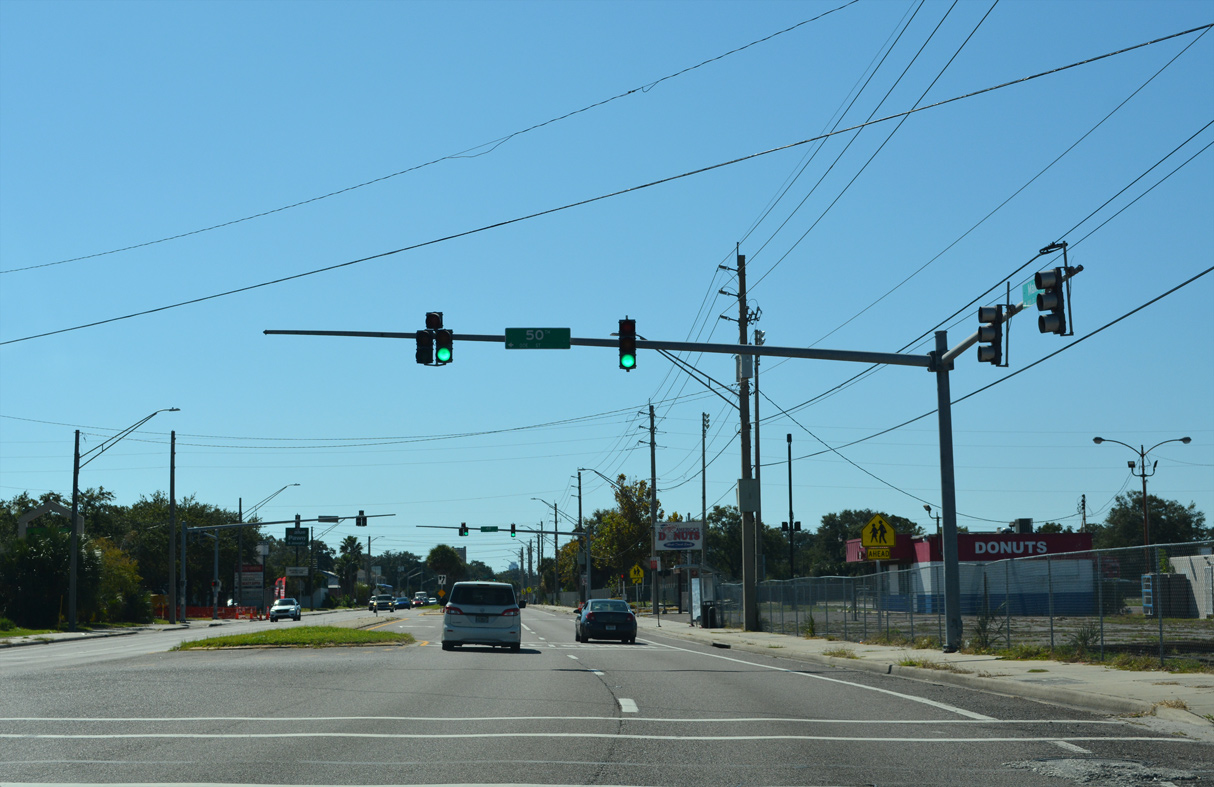
50th Street stems east from U.S. 17 (Main Street) to Buffalo Avenue and industrial areas in Panama Park.
10/16/22
10/16/22
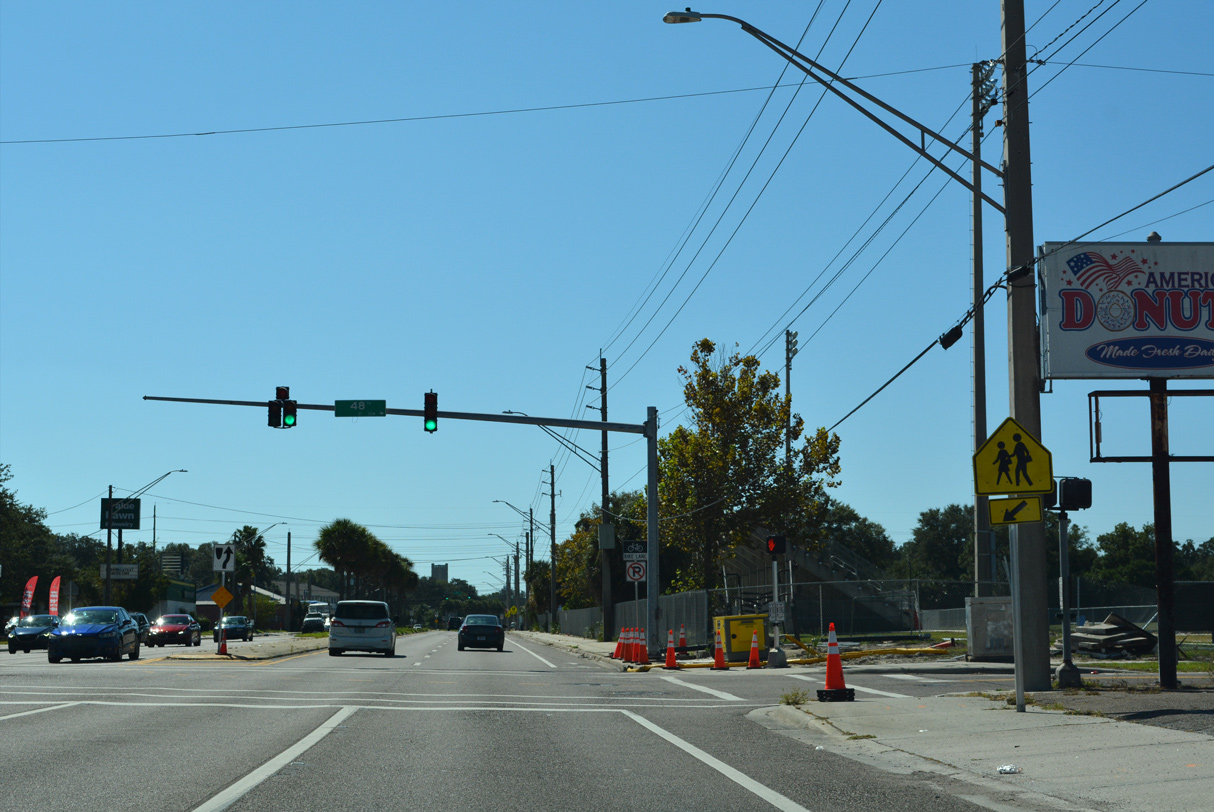
The traffic light at W 48th Street serves adjacent North Shore Elementary School.
10/16/22
10/16/22
10/16/22
10/16/22
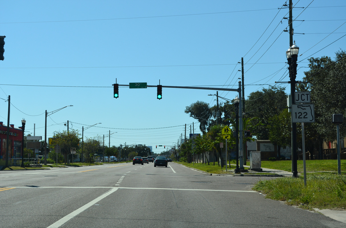
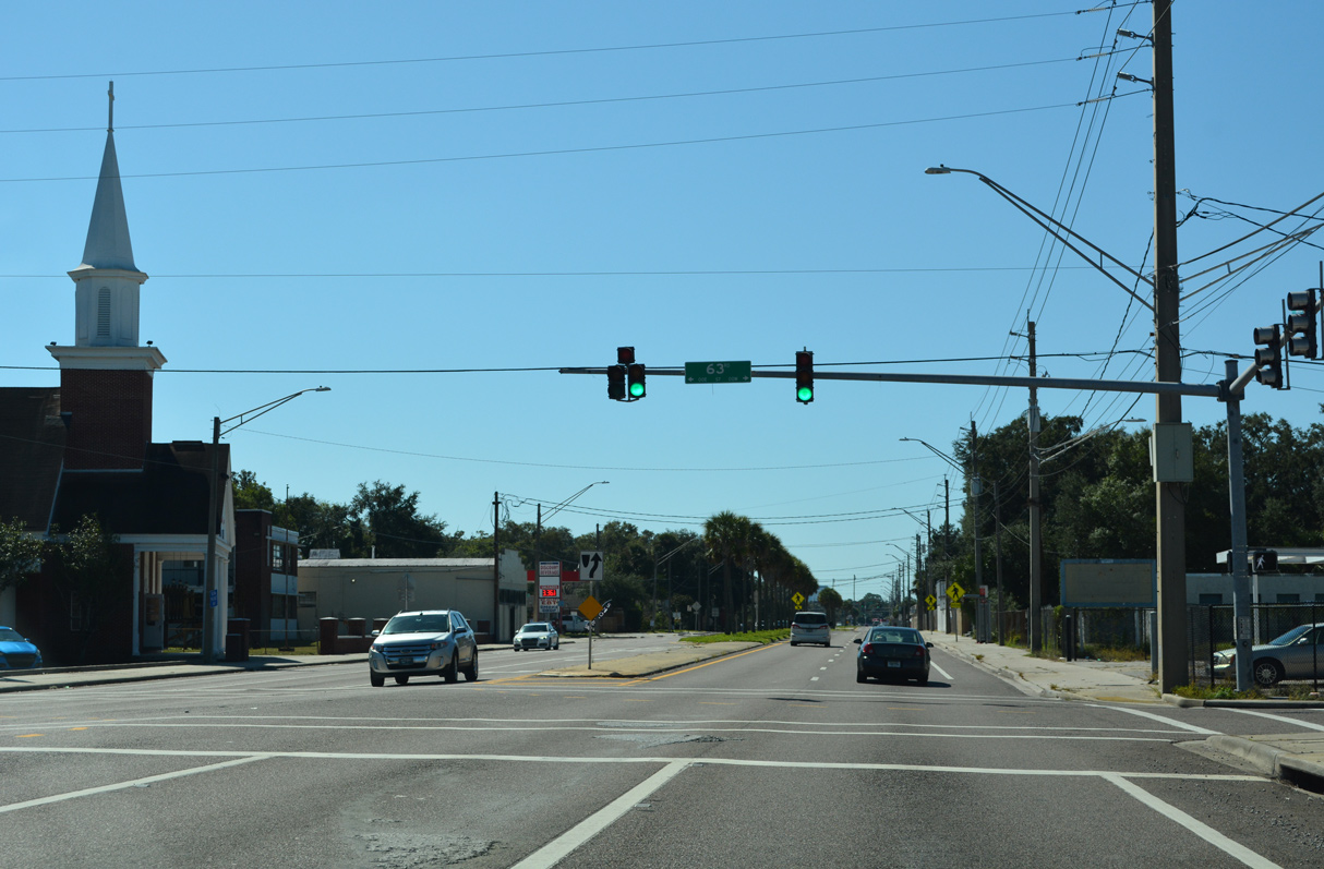
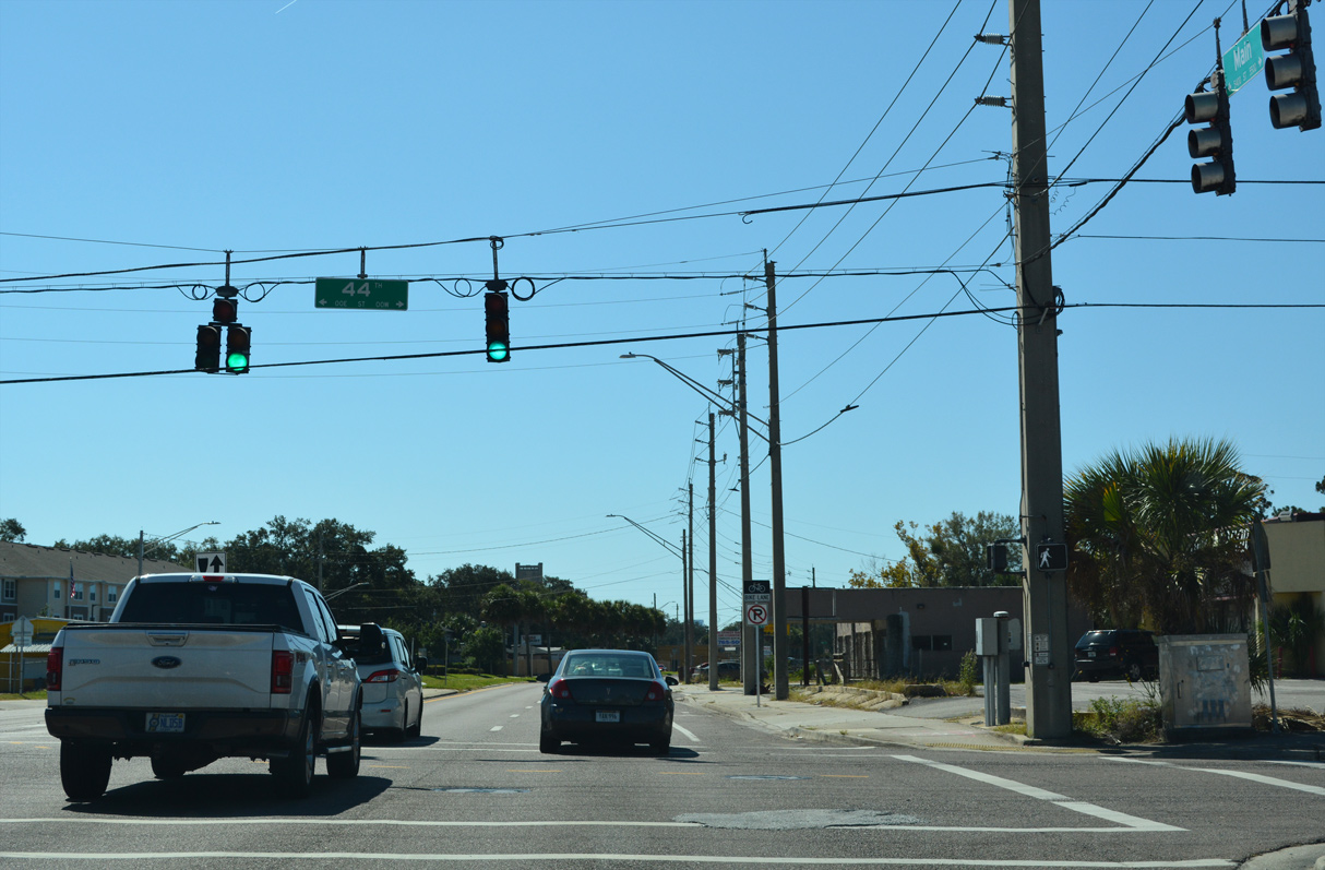
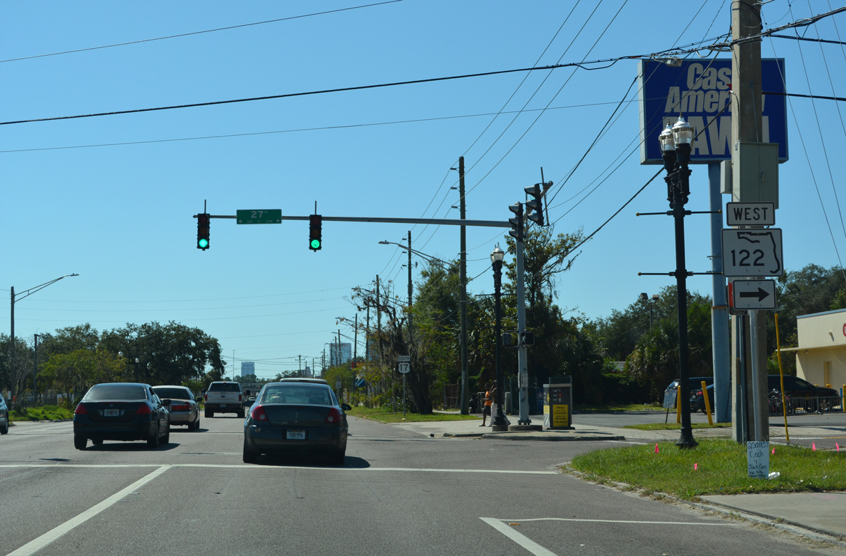
U.S. 17 (Main Street) meets the east end of SR 122 (W 27th Street) at the Brentwood neighborhood.
10/16/22
10/16/22
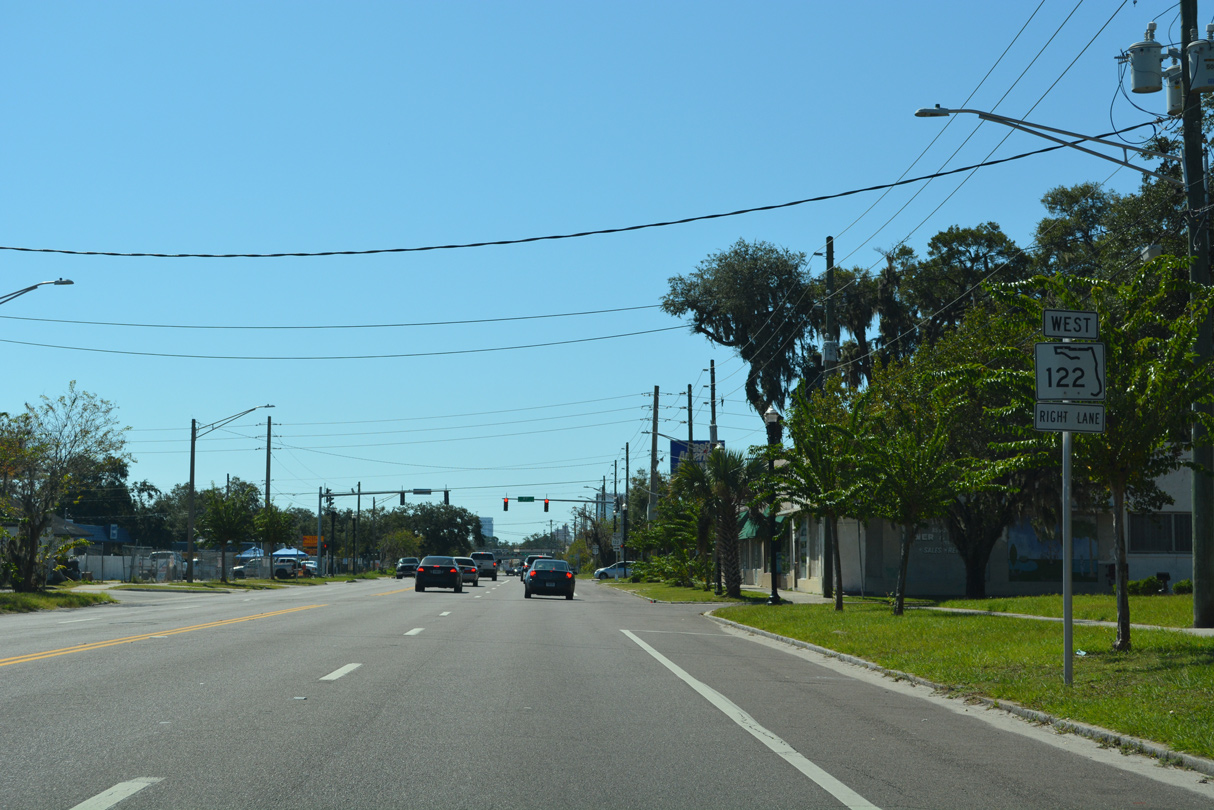
SR 122 measures just 1.08 miles west from U.S. 17 (Main Street) to Interstate 95 along Golfair Boulevard.
10/16/22
10/16/22
10/16/22
10/16/22
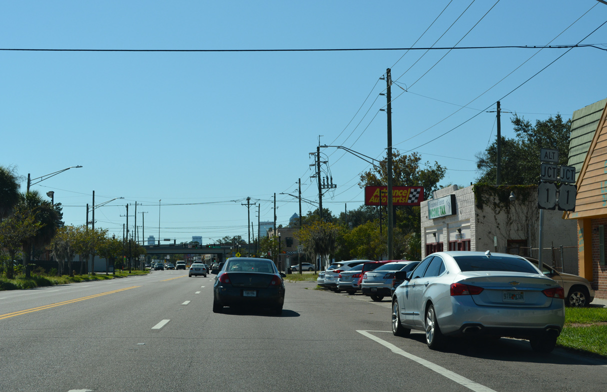
U.S. 17 (N Main Street) advances south through the Brentwood community to meet U.S. 1 and U.S. 1 ALT at Martin Luther King, Jr. Parkway.
10/16/22
10/16/22
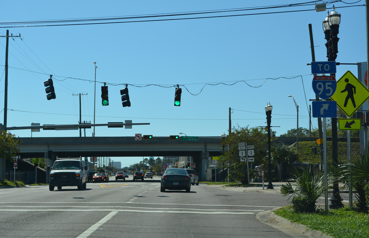
U.S. 1 overtakes Martin Luther King, Jr. Parkway west to I-95 and U.S. 23 (New Kings Road) at Grand Park.
10/16/22
10/16/22
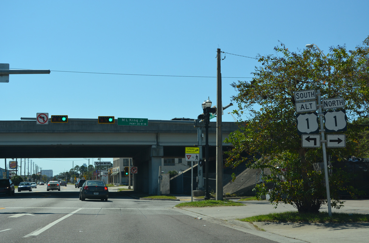
U.S. 1 ALT loops southeast to the Phoenix, Fairfield and East Jacksonville neighborhoods to the Hart Bridge crossing the St. Johns River at Midtown.
10/16/22
10/16/22
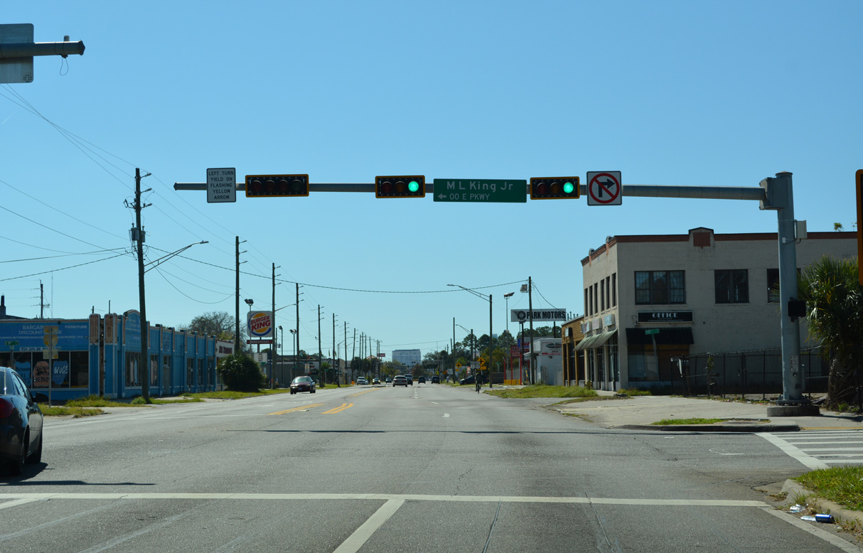
U.S. 1 combines with U.S. 17 (N Main Street) south from Martin Luther King, Jr. Parkway east into Springfield.
10/16/22
10/16/22
References:
Baughn, J. (n.d.). St. Marys River Bridge. Bridgehunter.com. https://bridgehunter.com/fl/nassau/740008/
Photo Credits:
- Brent Ivy: 10/15/23
- Alex Nitzman: 10/16/22
Connect with:
Page Updated Saturday October 21, 2023.