
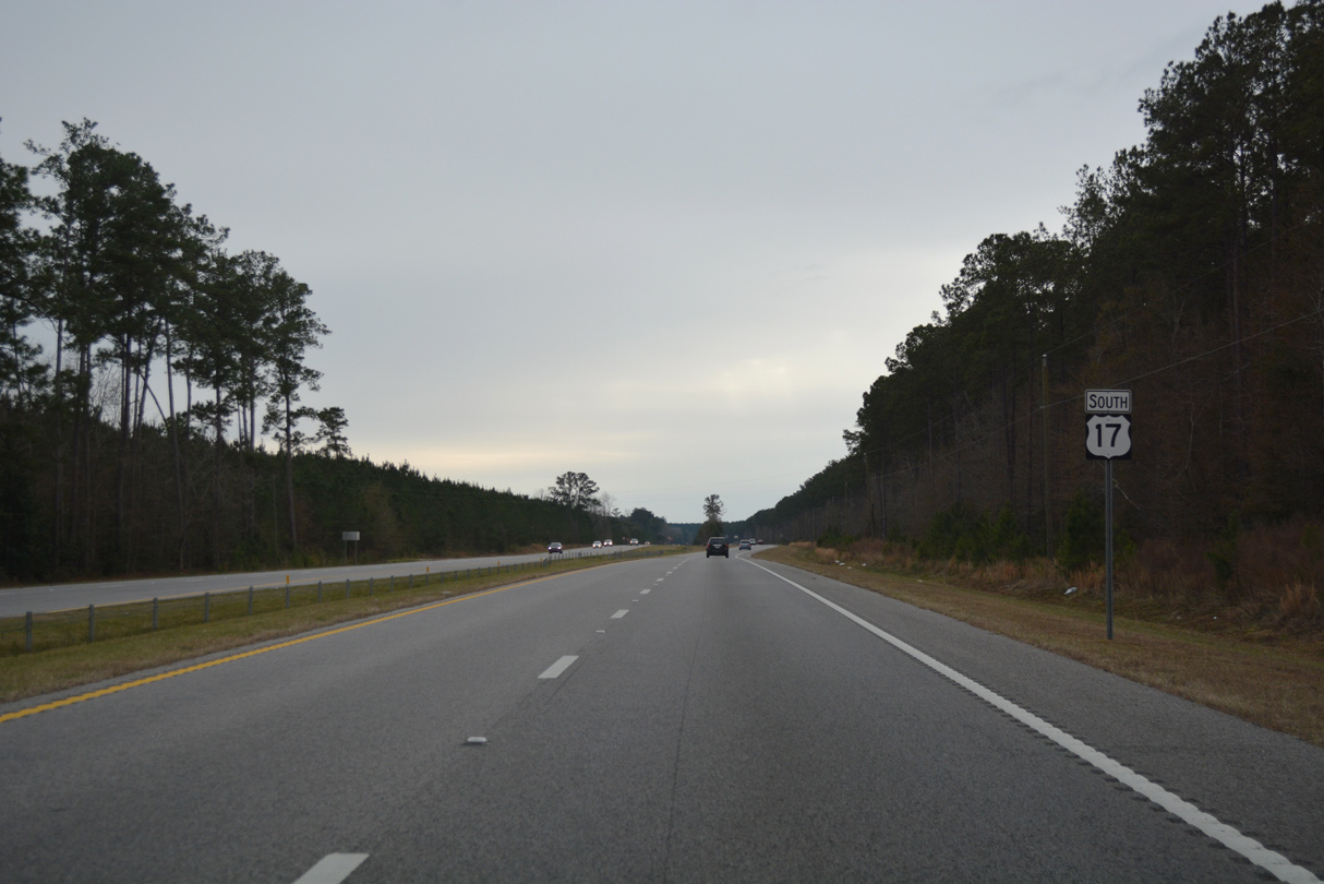
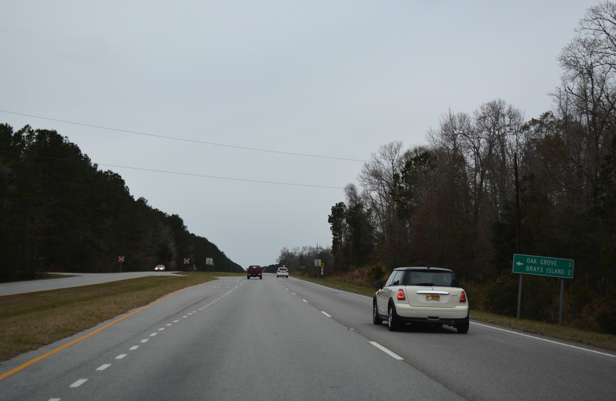
U.S. 17 South - Jacksonboro to I-95

 South
South
U.S. 17 (Ace Basin Parkway) enters the unincorporated community of Jacksonboro west of the Edisto River.
12/31/17
12/31/17
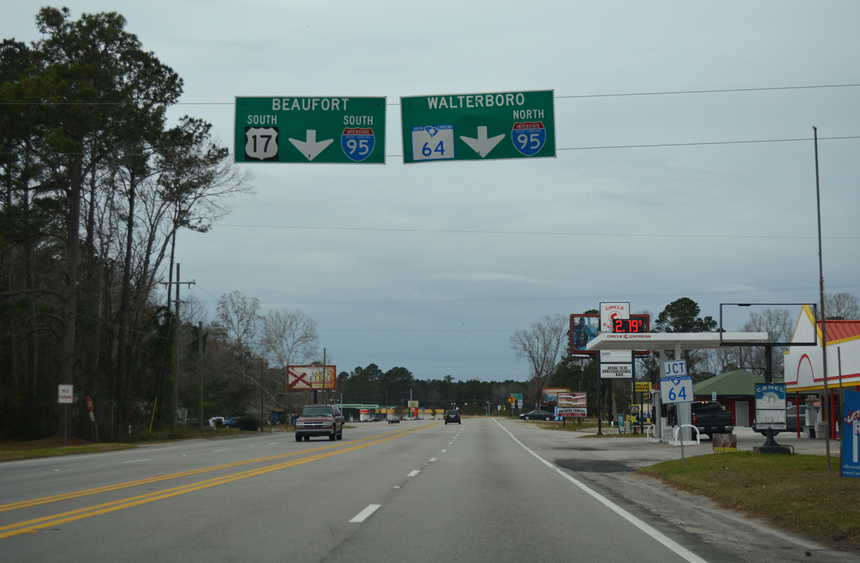
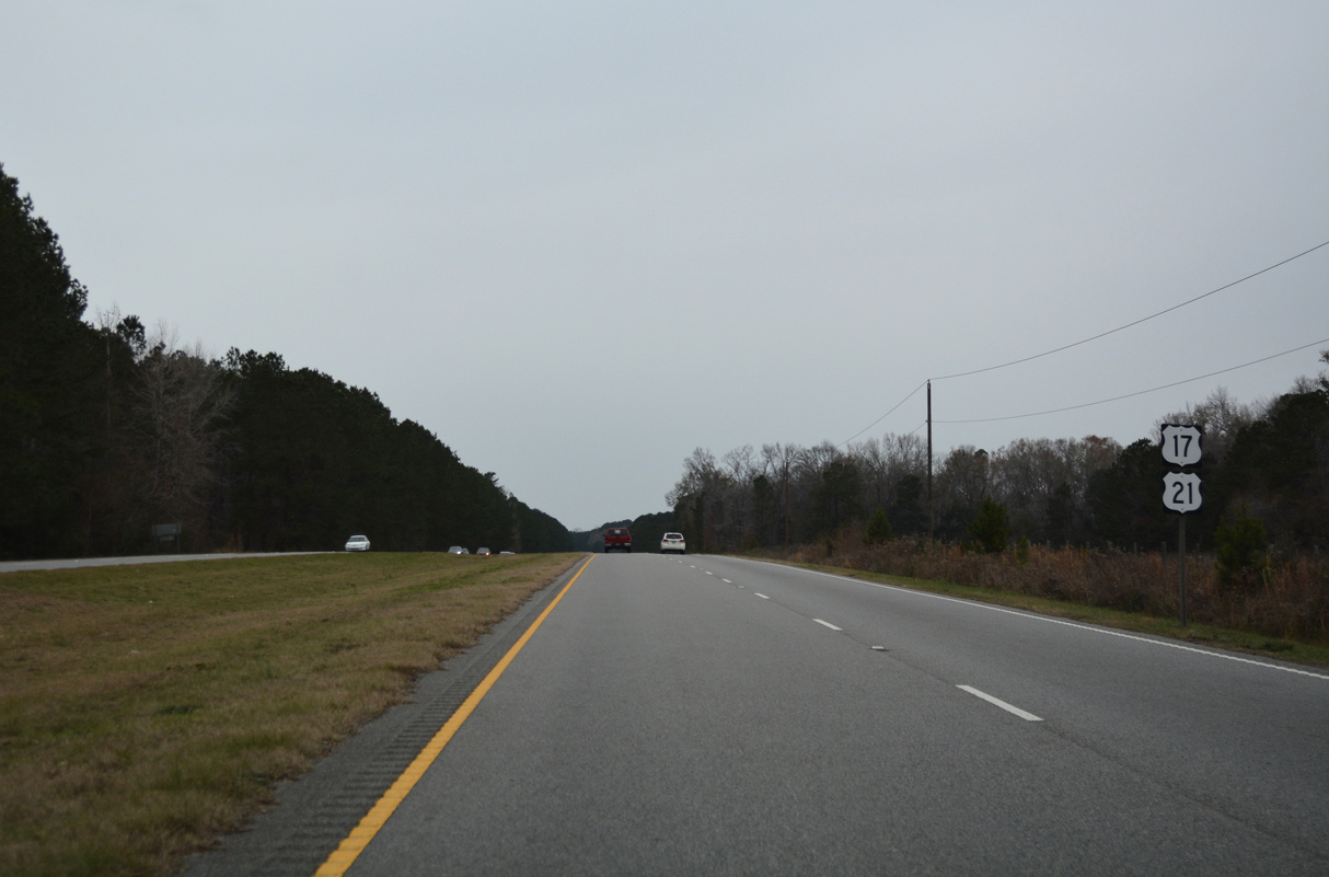
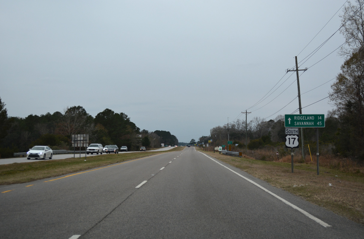
The four lane section of U.S. 17 south previously concluded where S.C. 64 (Charleston Highway) branches northwest at Jacksonboro.
12/31/17
12/31/17
S.C. 64 (Charleston Highway) travels 15.33 miles northwest to U.S. 17 ALT (Wichman Street) and 18.8 miles to I-95 at the city of Walterboro. S.C. 64 continues west from there to Barnwell.
12/31/17
12/31/17
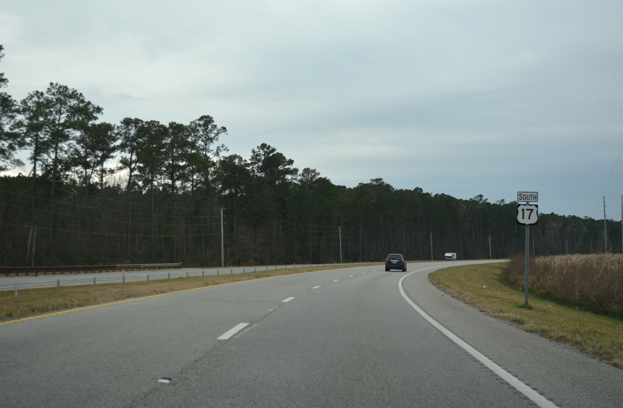
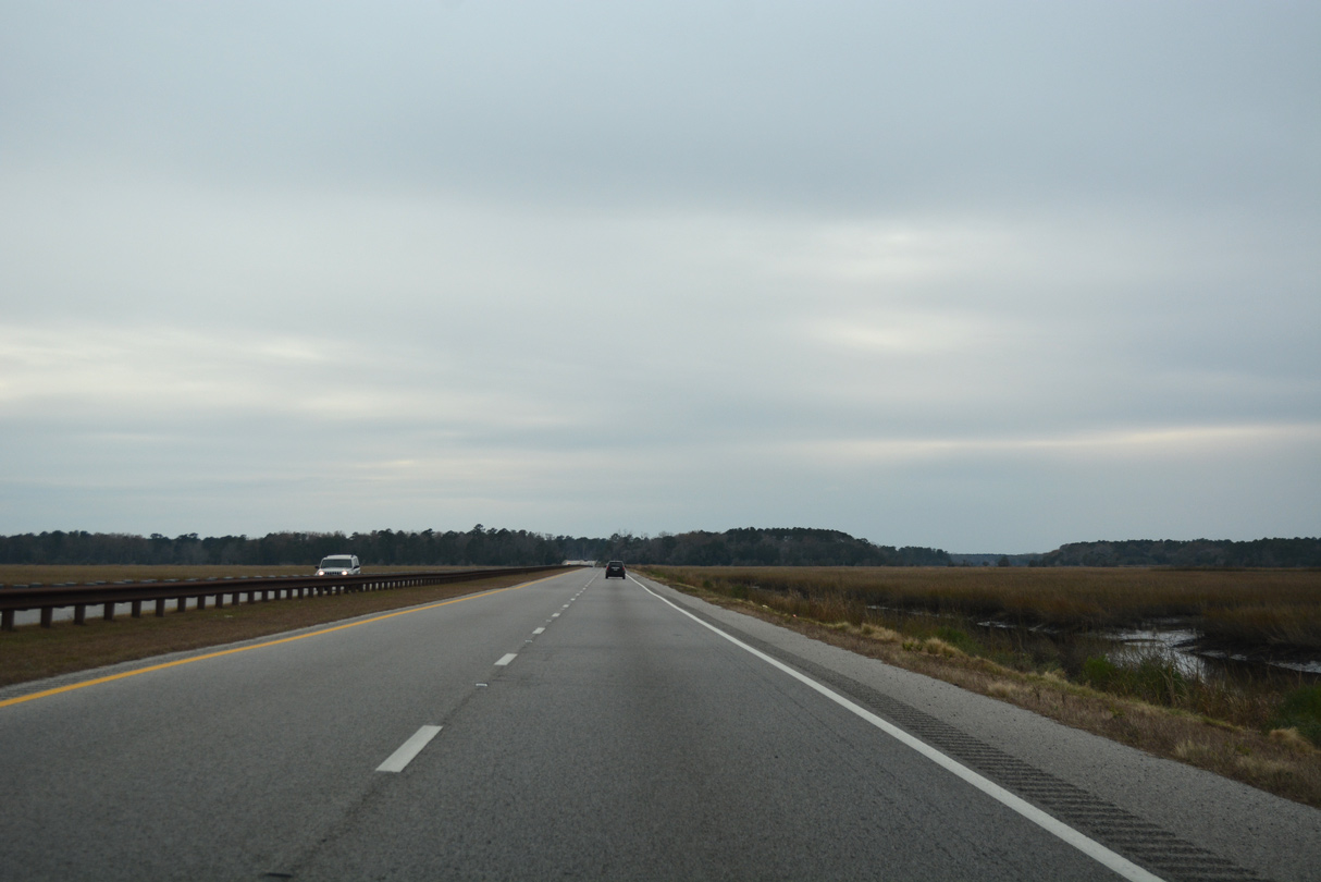
U.S. 17 makes an S-curve southwest ahead of Ashepoo.
12/31/17
12/31/17
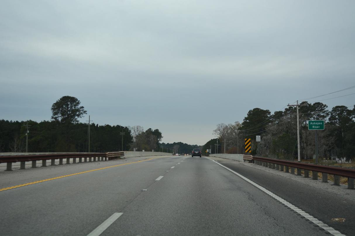
U.S. 17 (Ace Basin Parkway) crosses the Ashepoo River just south of Horseshoe Creek.
12/31/17
12/31/17
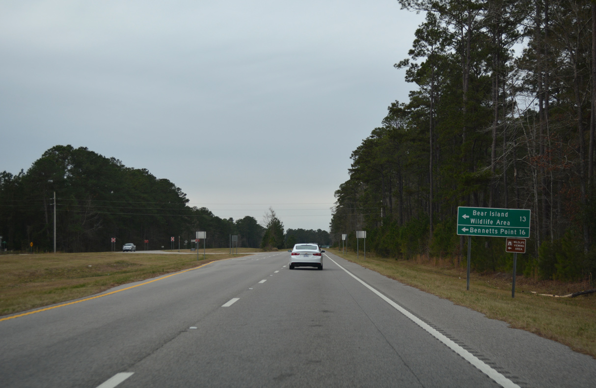
Bennetts Point Road (Road 26) spurs 15.59 miles south to Bennettts Point off the Ashepoo River.
12/31/17
12/31/17
Wood Road (Road 14) provides a cutoff 1.73 miles west from U.S. 17 to S.C. 303 (Green Pond Highway) north toward Walterboro.
12/31/17
12/31/17
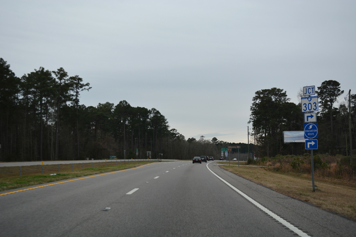
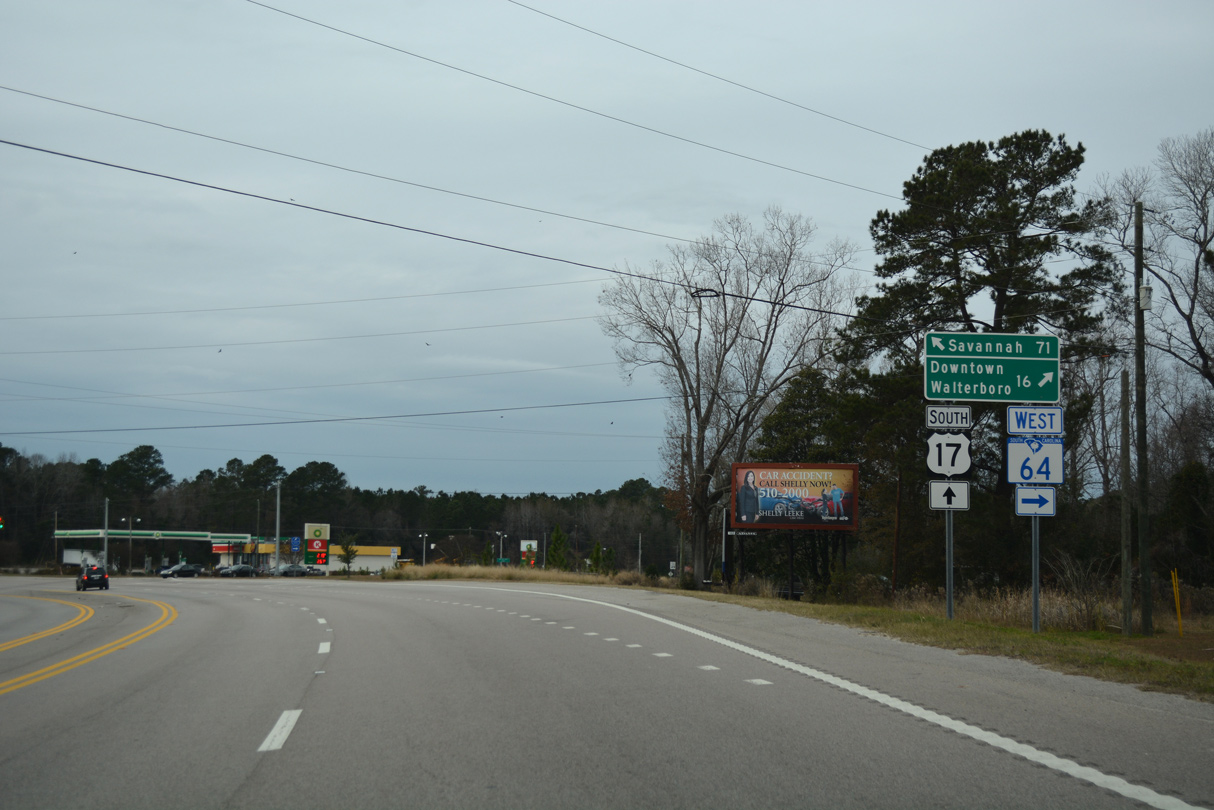
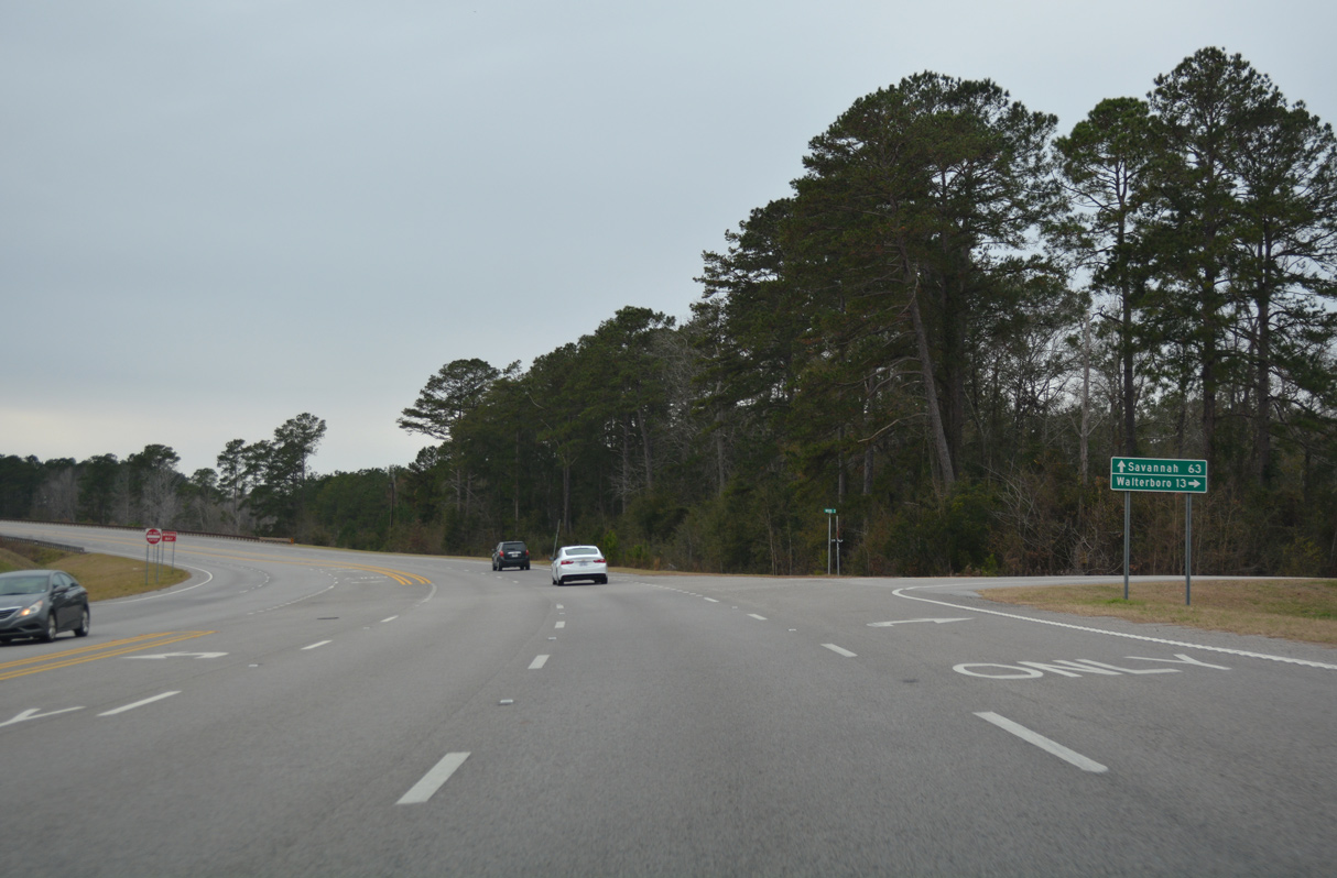
Turning southwest, U.S. 17 advances to the south end of S.C. 303 (Green Pond Highway).
12/31/17
12/31/17
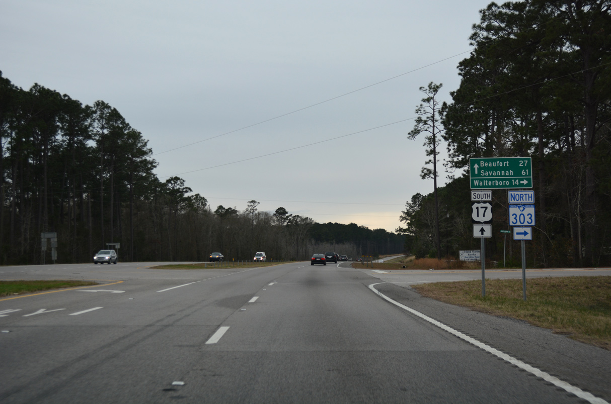
Measuring 13.52 miles in length, S.C. 303 (Green Pond Highway) runs north to U.S. 17 ALT/S.C. 63 (S Jefferies Boulevard) in Walterboro.
12/31/17
12/31/17
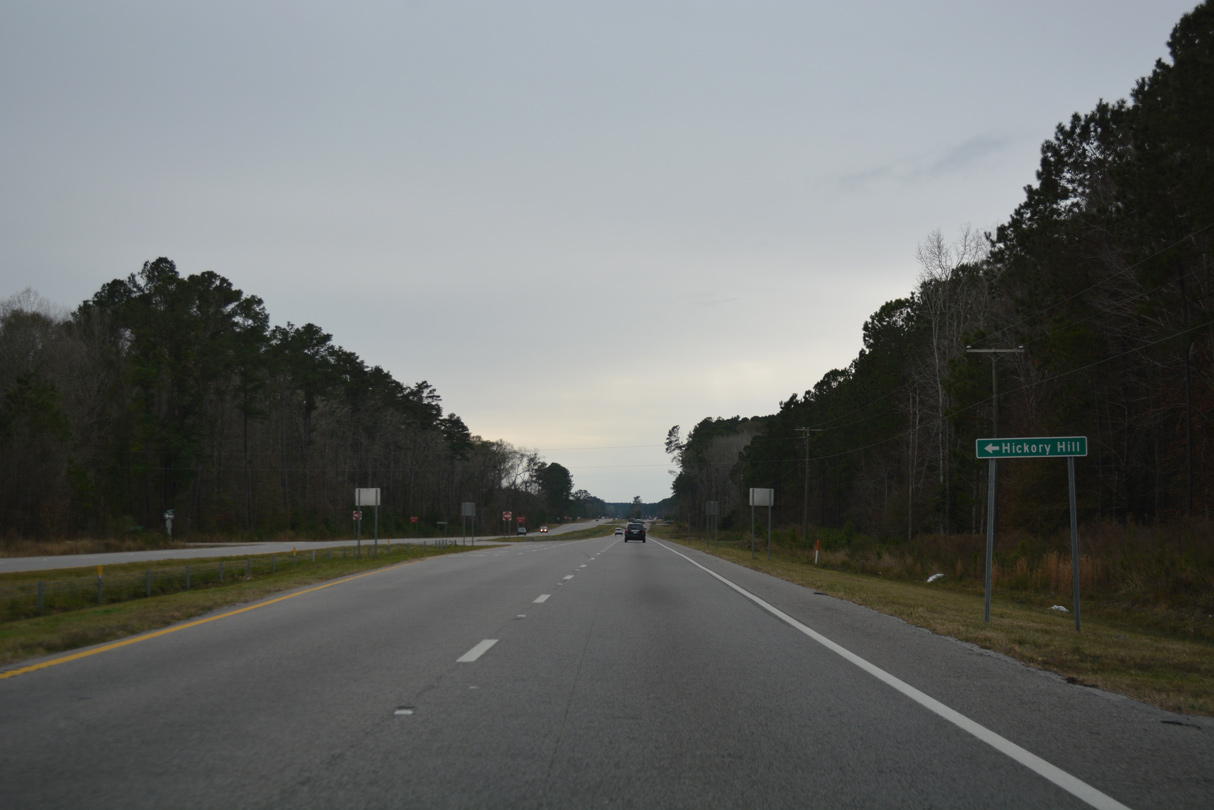
When U.S. 17 was still two lanes at Hickory Hill Road (Road 163), the speed limit was reduced to 50 miles per hour in 2006.
12/31/17
12/31/17
12/31/17
12/31/17
12/31/17
12/31/17
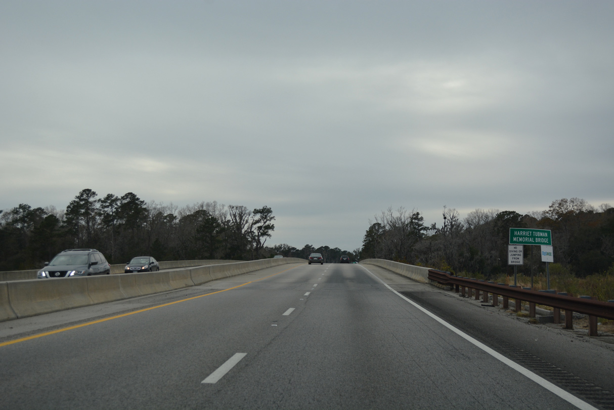
U.S. 17 crosses the Combahee River over the Harriet Tubman Memorial Bridge.
12/31/17
12/31/17
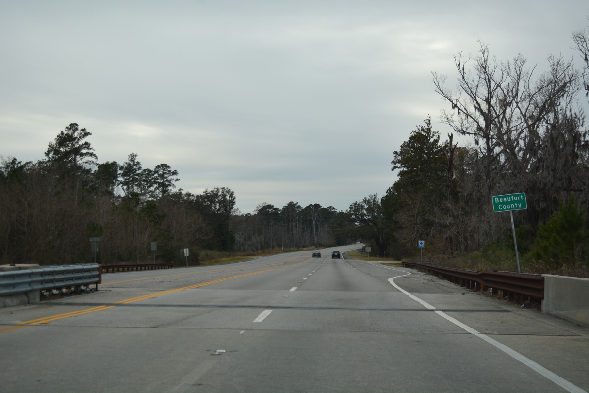
U.S. 17 continues 12.65 miles west across northern Beaufort County.
12/31/17
12/31/17
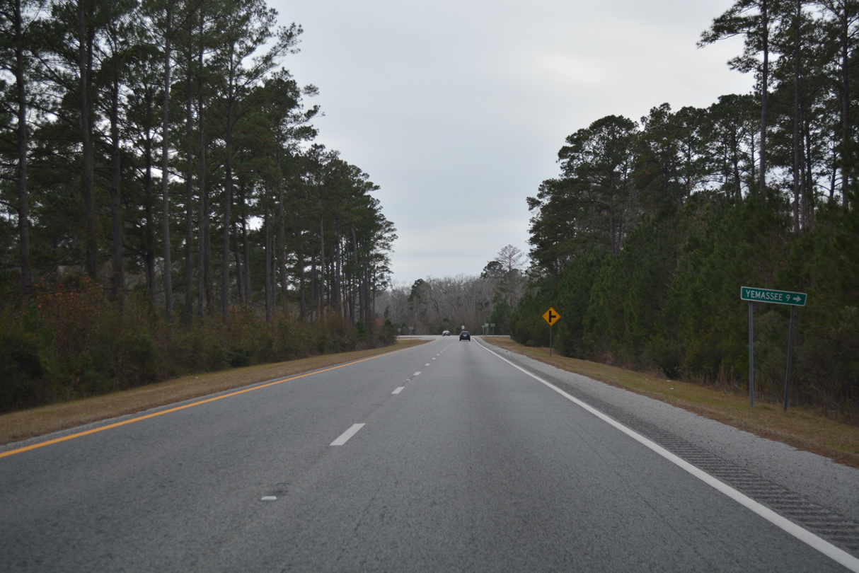
River Road (Road 33) meanders 9.44 miles west from U.S. 17 (Charleston Highway) to Yemassee.
12/31/17
12/31/17
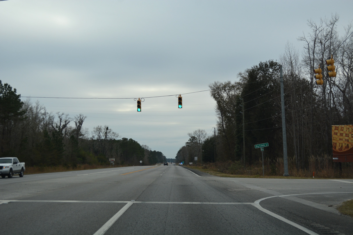
Four lane expansion of U.S. 17 completed by 2012 included the addition of traffic lights at the intersection with Big Estate Road north and Jacob White Road (Road 111) south.
12/31/17
12/31/17
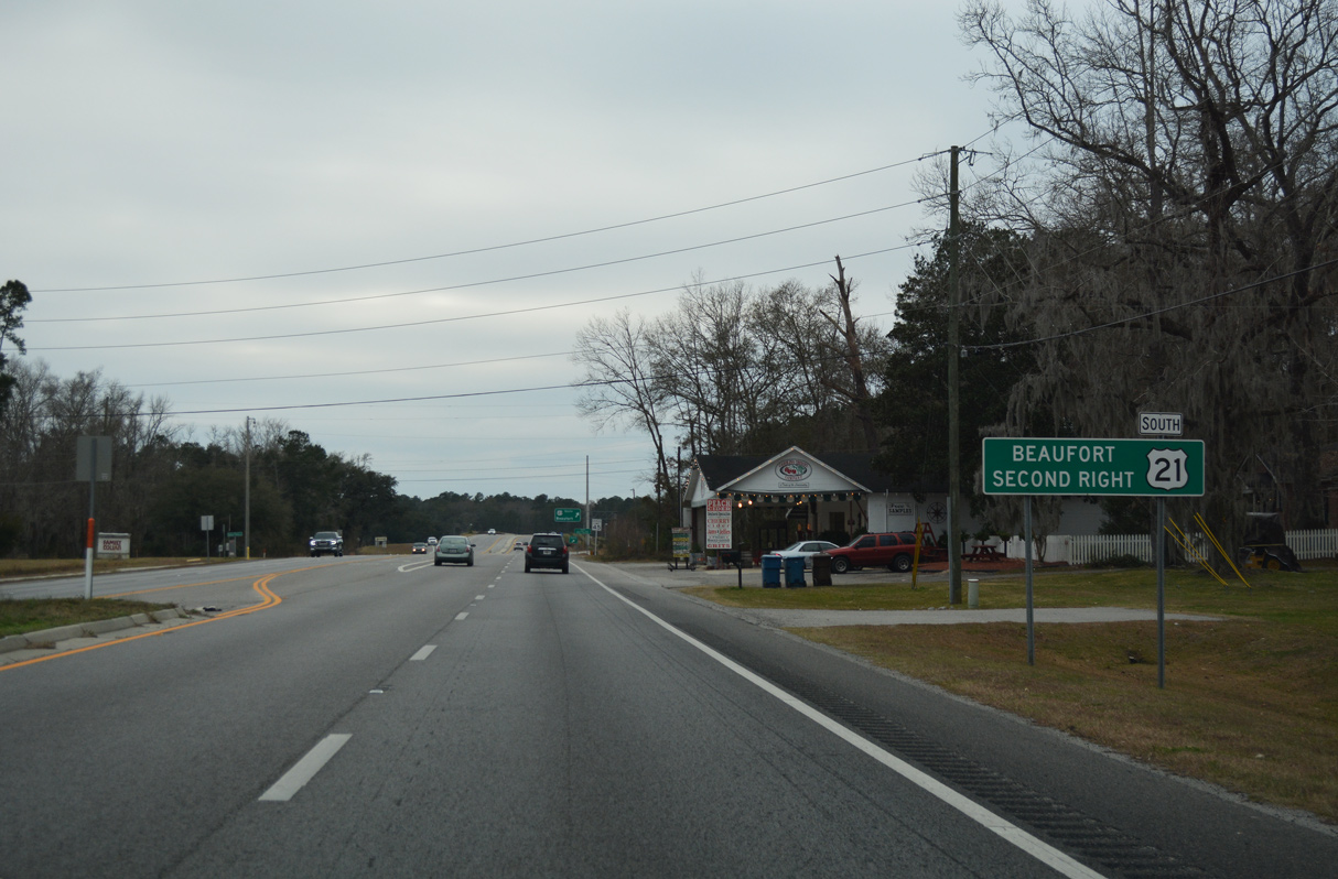
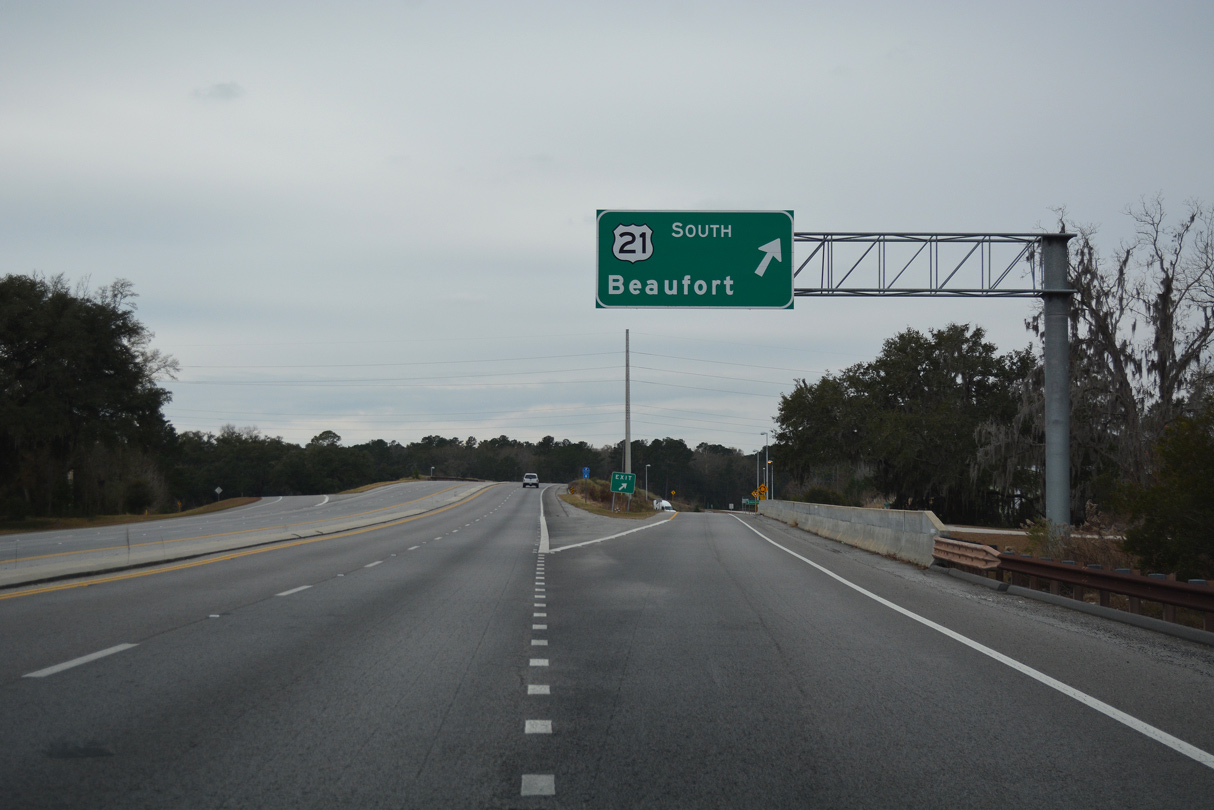
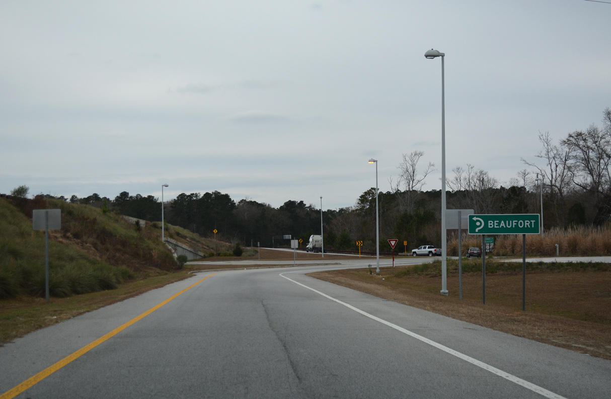
U.S. 21 (Trask Parkway) combines with U.S. 17 (Charleston Highway) 16 miles north of Beaufort at a roundabout interchange.
12/31/17
12/31/17
U.S. 21 travels 37.43 miles southeast to Sea Island Parkway at Hunting Island State Park.
12/31/17
12/31/17
Construction of the exchange at U.S. 21 realigned U.S. 17 southward. A 0.29 mile segment of the old route was reconfigured as a frontage road (Road 866).
12/31/17
12/31/17
South  North
North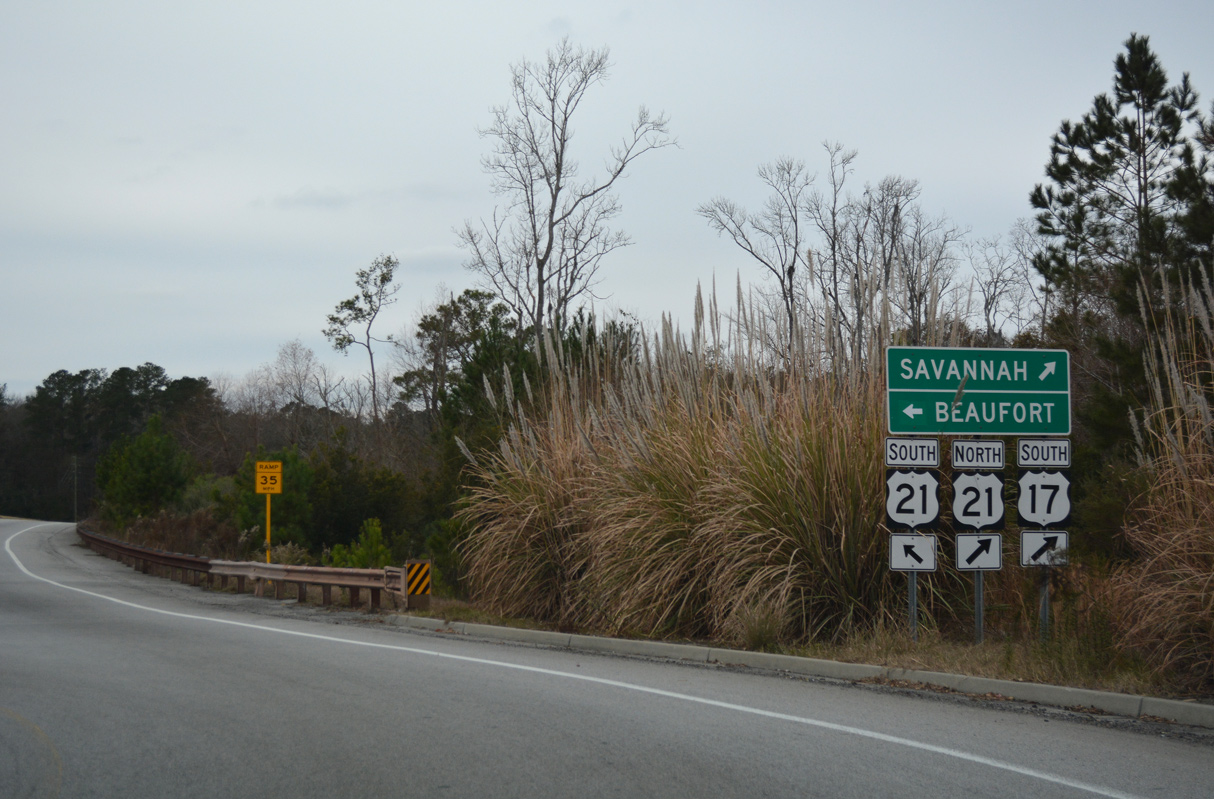
U.S. 21 north overlaps with southbound U.S. 17 for 6.38 miles from Gardens Corner.
12/31/17
12/31/17
12/31/17
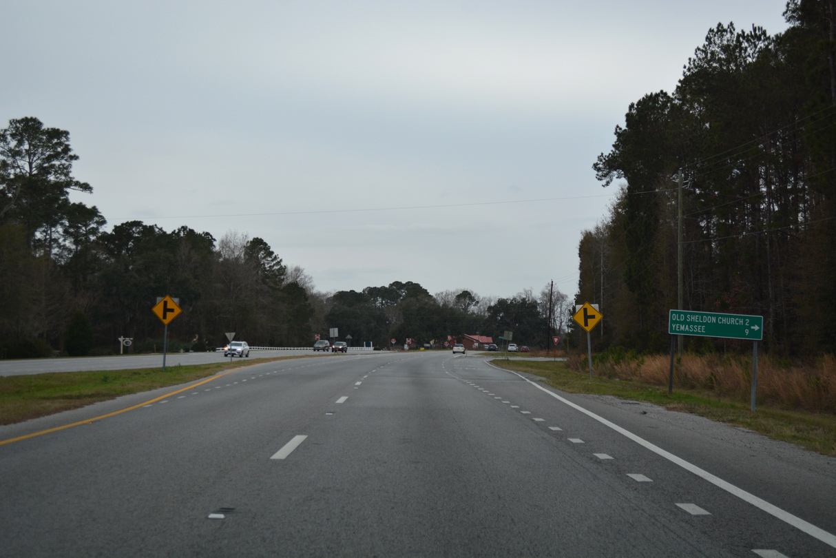
Old Sheldon Church Road (Road 21) angles 7.13 miles northwest to Castle Hall Road (Road 3) near Yemassee.
12/31/17
12/31/17
12/31/17
12/31/17
12/31/17
12/31/17
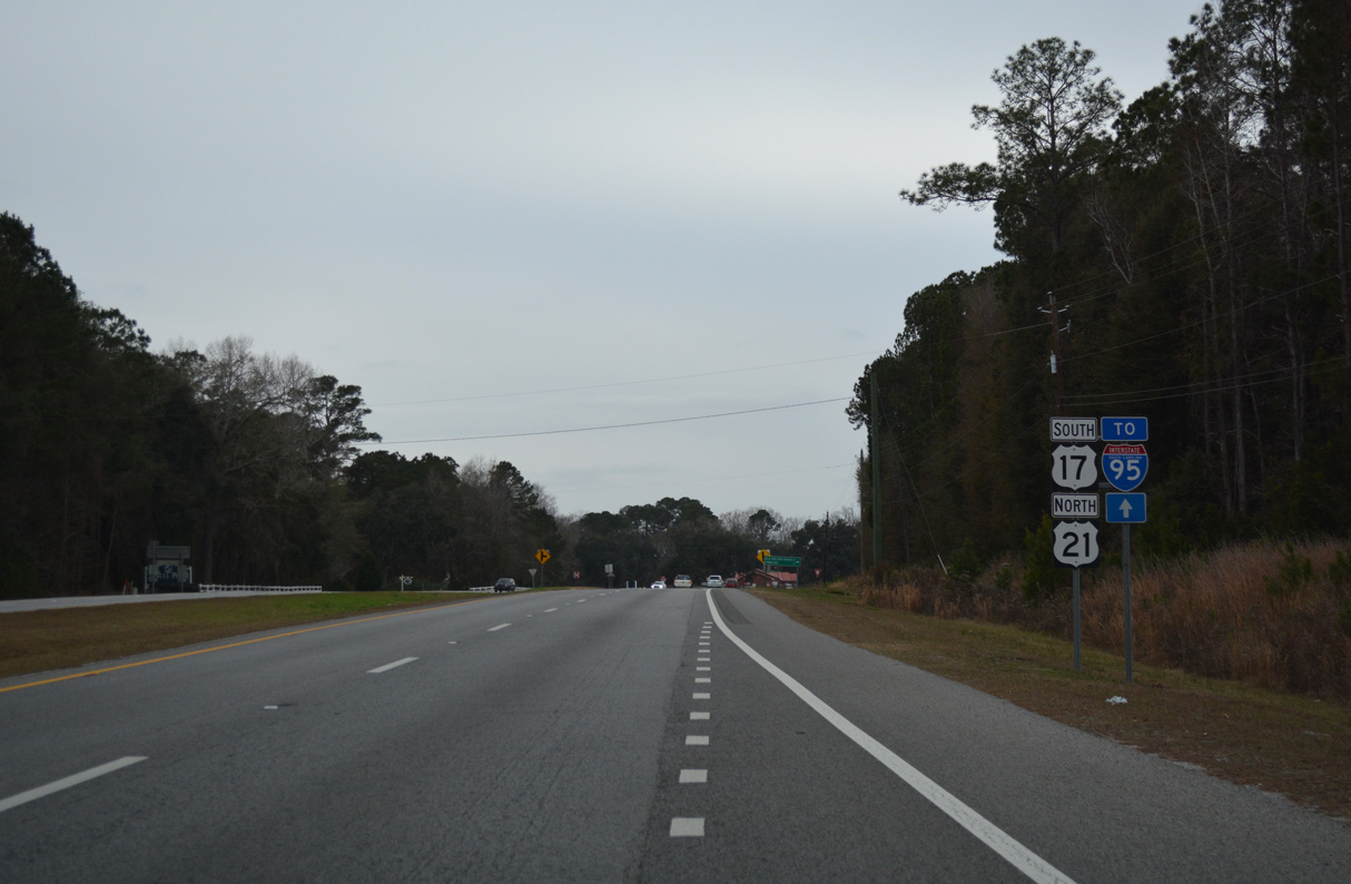
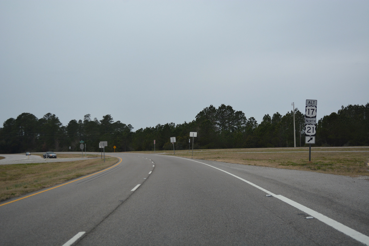
U.S. 21 parts ways with U.S. 17 south to join U.S. 17 ALT north to Yemassee and southern Colleton County.
12/31/17
12/31/17
U.S. 21 travels north from the LowCountry to Orangeburg. U.S. 17 ALT parallels Interstate 95 northeast from Yemassee to Walterboro.
12/31/17
12/31/17
12/31/17
South
09/25/22
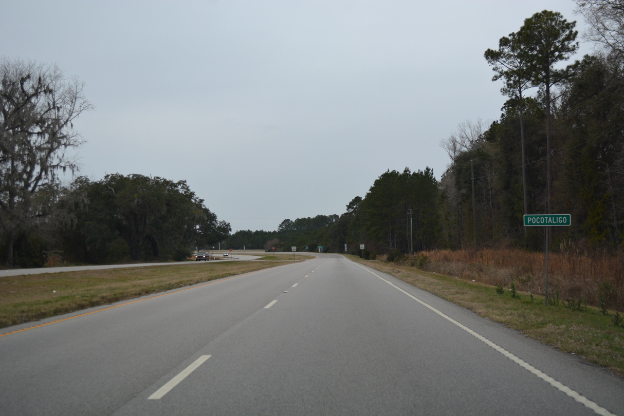
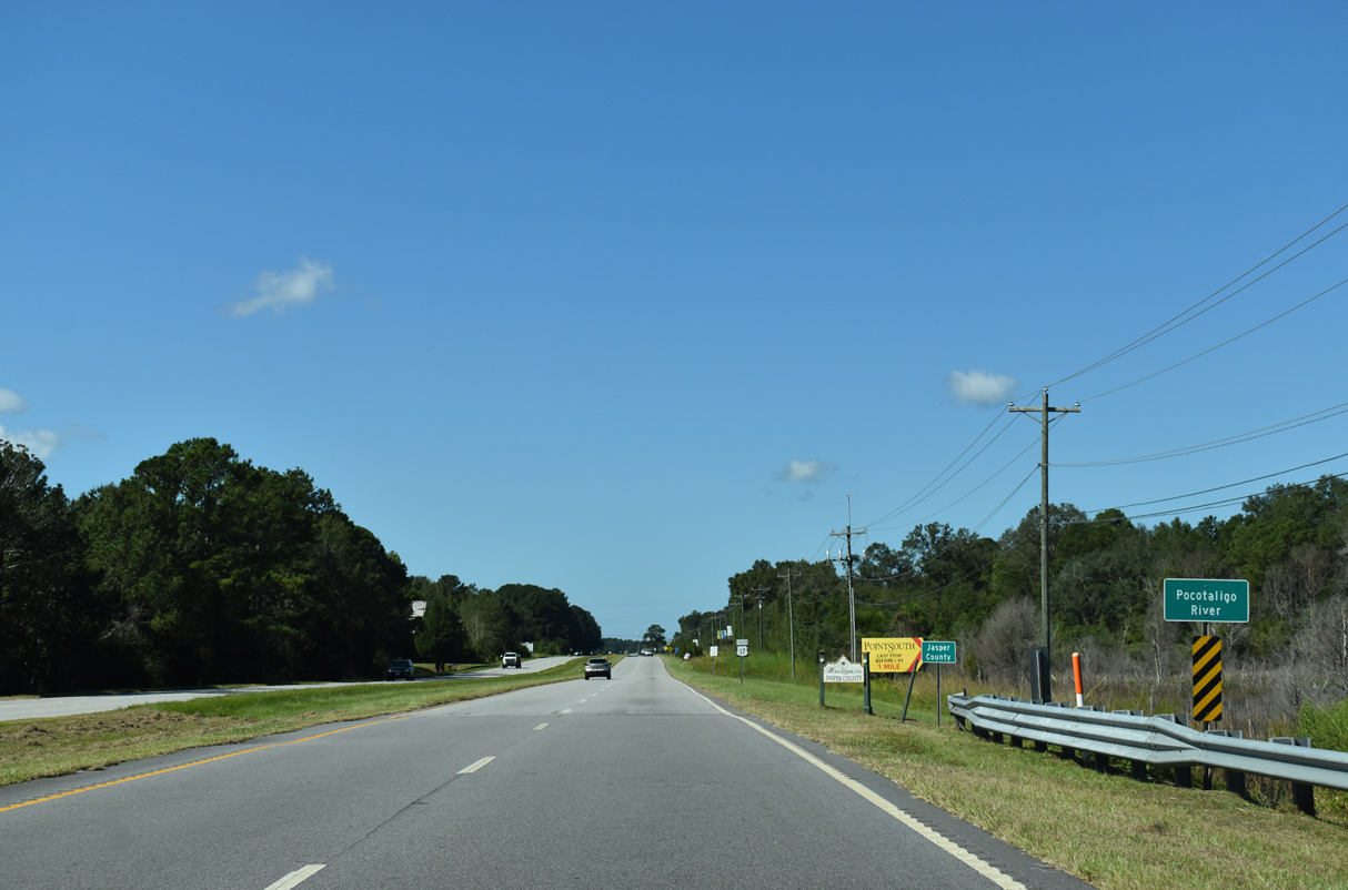
The distance sign preceding the Pocotaligo River was removed in 2018.
12/31/17
12/31/17
09/25/22
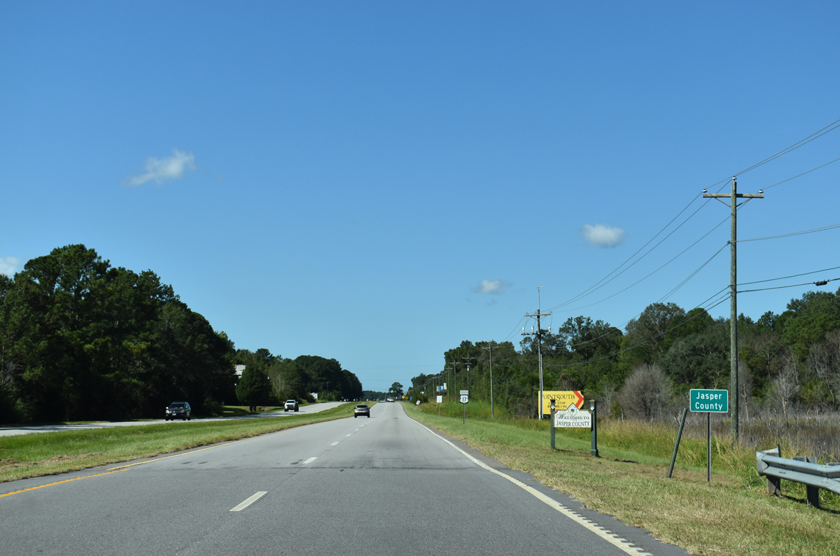
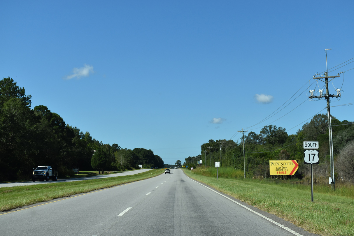
U.S. 17 southwest from the Jasper County line 1.72 miles to Interstate 95 is Kings Highway.
09/25/22
09/25/22
09/25/22
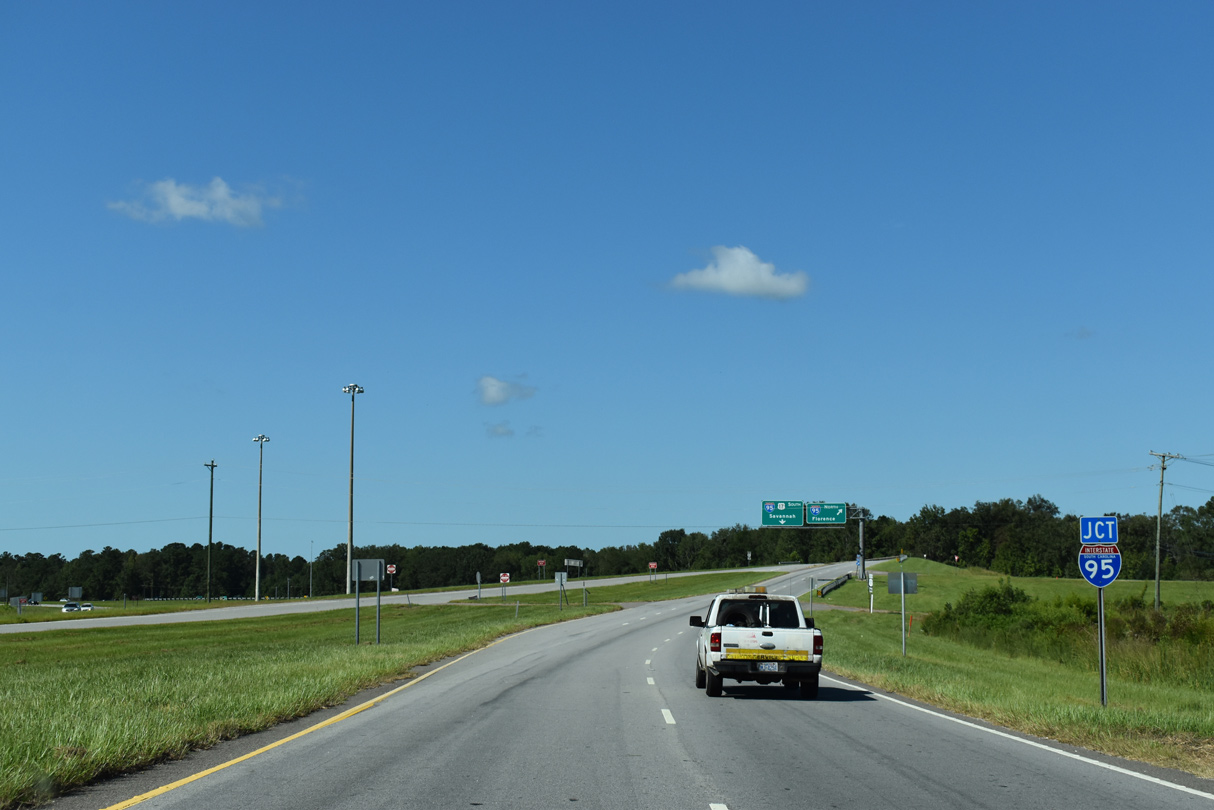
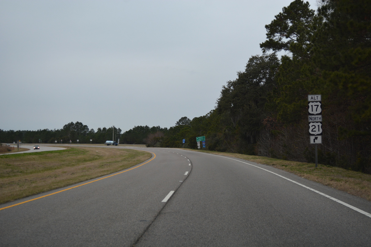
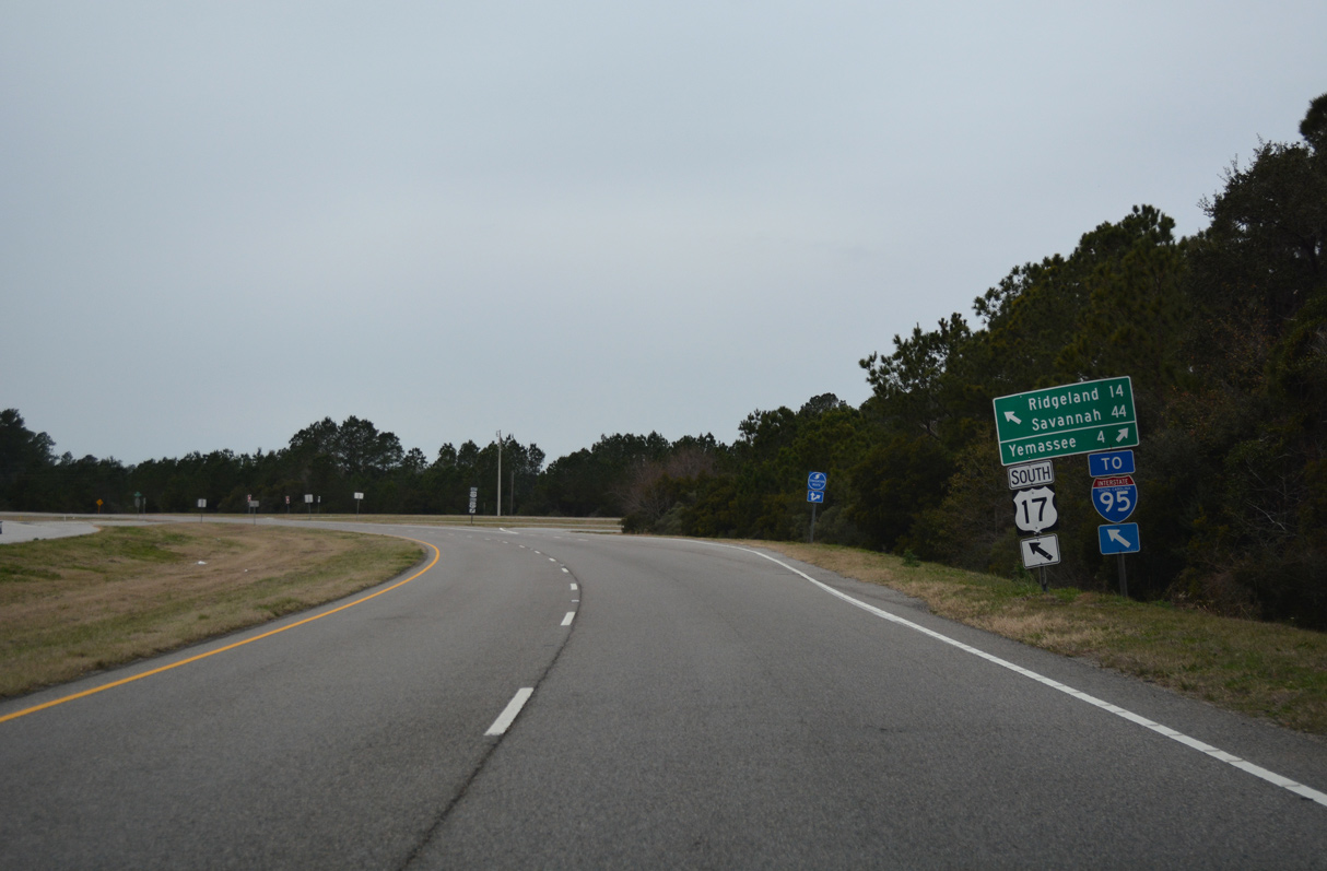
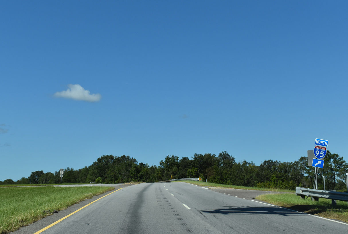
U.S. 17 converges with Interstate 95 at a trumpet interchange west of Pocotaligo. The junction shield for I-95 was replaced three times between 2004 and 2020.
09/25/22
09/25/22
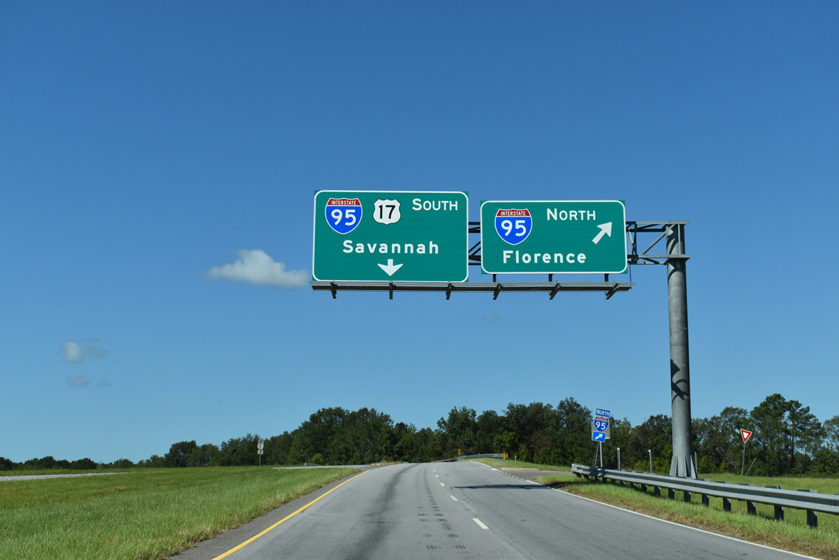
Interstate 95 runs northeast from Jasper County to Walterboro, Santee, Manning and Florence.
09/25/22
09/25/22
The original construction of I-95 in 1972-74 directly overlaid U.S. 17 between Pocotaligo and Ridgeland with the exception of a short section at Coosawhatchie.
09/25/22
09/25/22
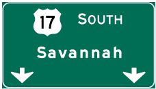
Photo Credits:
- Alex Nitzman: 12/31/17
- Brent Ivy: 09/25/22
Connect with:
Page Updated Monday December 05, 2022.