
U.S. 19W
U.S. 19W branches north between Sampton and Cane Mountains from U.S. 19 and U.S. 19E at Cane River to Higgens. Paralleling the Cane River, U.S. 19W navigates through a series of S-curves north to Lewisburg, Miller Chapel and Ramseytown. Circling northward around Sugarloaf Mountain, U.S. 19W diverges from the Cane River to Sioux. U.S. 19W runs west between Flattop Mountain and Sugarloaf Mountain to Spivey Gap and Unicoi County, Tennessee, across the Bald Mountain chain.
 North
North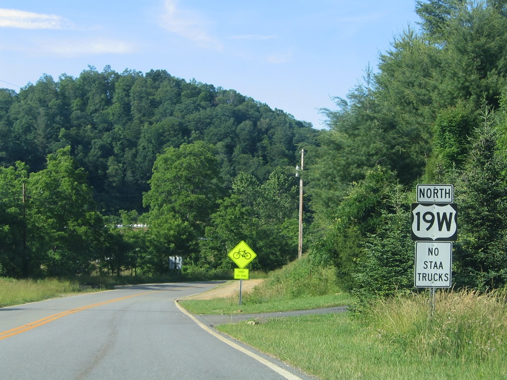
U.S. 19W curves 0.42 miles northward from U.S. 19/19E beside Bald Creek to Cane River School Road (SR 1454), the original alignment of U.S. 19E.
06/17/05
South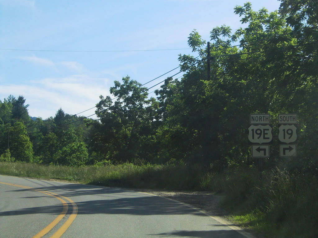
U.S. 19W parallels Bald Creek west from the Cane River to U.S. 19 south and U.S. 19E north at Cane River. U.S. 19 travels 10.77 miles southwest to join I-26/U.S. 23 south into Asheville. U.S. 19E heads east seven miles to the Yancey County seat of Burnsville.
06/17/05
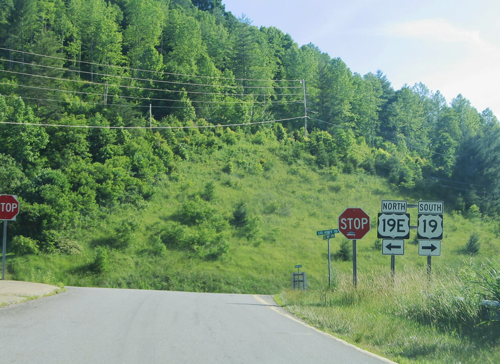
U.S. 19W concludes at U.S. 19/19E across from Possum Trot Road (SR 1128) south to Possumtrot. The eastern branch of U.S. 19E loops 74.4 miles to Spruce Pine and Elizabethton, Tennessee north to U.S. 19W at Bluff City.
06/17/05
Photo Credits:
- Alex Nitzman: 06/17/05
Connect with:
Page Updated Tuesday May 11, 2021.