
U.S. 20 West - Jo Davies County

 West
West  North
North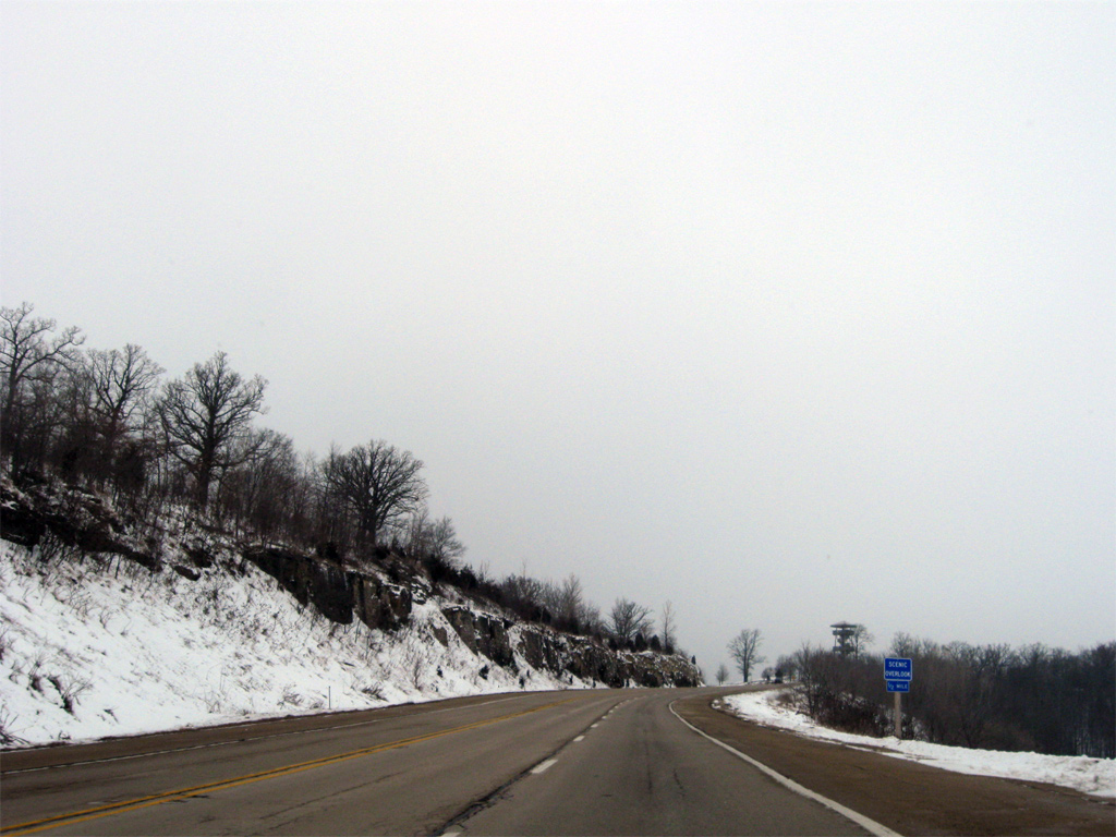
One mile west of their merge, U.S. 20 west & IL 84 north approach the Long Hollow Scenic Overlook.
12/21/09

The lookout tower rises to 100 feet and overlooks a scenic valley fed by Furnace Creek to the east. It is included in the Great River Road parks system.
12/21/09
West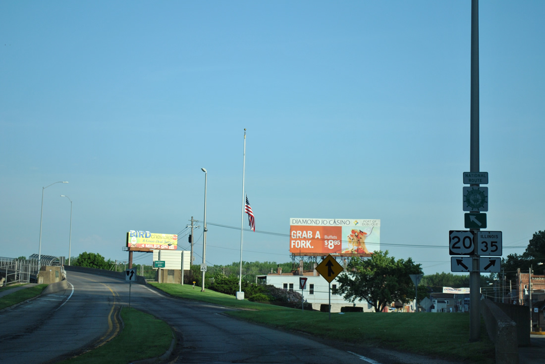
IL 35 begins from a folded diamond interchange with U.S. 20 at the foot of the Julien Dubuque Bridge in East Dubuque. The state route represents a 1.1 mile southern extension of Wisconsin 35, a lengthy trunk highway traveling the length of the Badger State between Superior and Grant County.
05/30/11
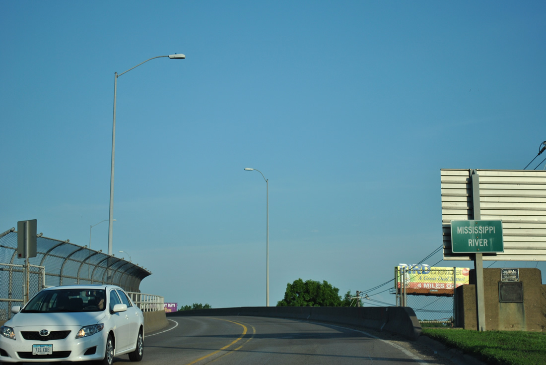
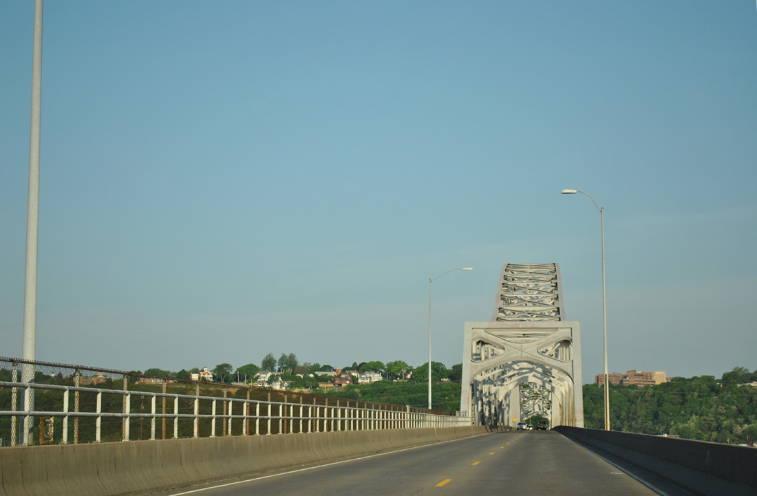
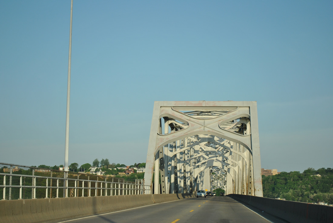
U.S. 20 elevates above Wall Street and Wisconsin Avenue to span the Mississippi River on the 1943-opened Julien Dubuque Bridge.
05/30/11
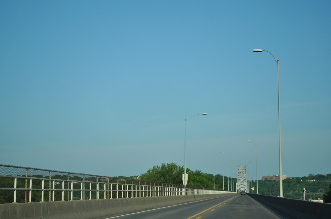
The Julien Dubuque Bridge carries two overall lanes on a 28-foot wide deck. A pedestrian walkway, added in the 1990s when the bridge was repainted, lines the south side of the span.1
05/30/11
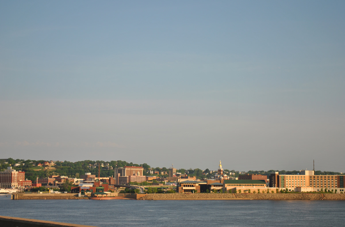
Downtown Dubuque unfolds to the northwest, with the Port of Dubuque and the gold-domed Dubuque County Courthouse coming into view.
05/30/11
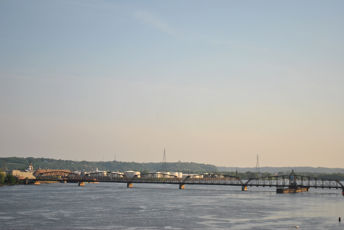
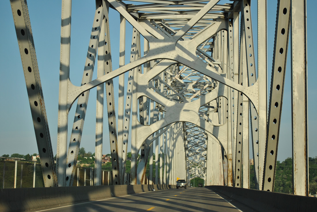
Paralleling north of U.S. 20 is the Canadian National Railroad truss bridge. The railroad emerges from a tunnel at East Dubuque to connect with a railroad yard below the Julien Dubuque Bridge.
05/30/11
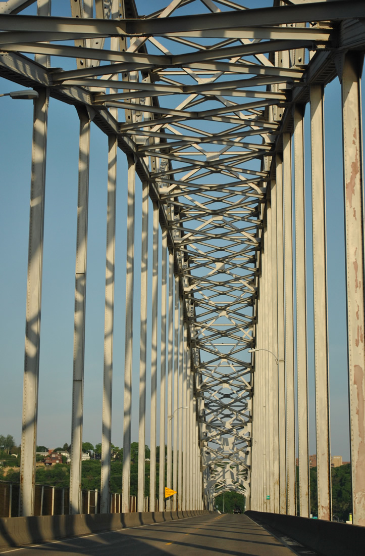
The Julien Dubuque Bridge constitutes a continuous steel arch truss bridge traveling 5,760 feet in length to a height of 64 feet. A second span is planned to parallel the bridge to the south.1
05/30/11
The Iowa state line crosses U.S. 20 midway through the steel arch of the Julien Dubuque Bridge. A sign references Dubuque at the border.
05/30/11


References:
Photo Credits:
- Alex Nitzman: 12/21/09
- ABRoads: 05/30/11
Connect with:
Page Updated Thursday March 14, 2013.