
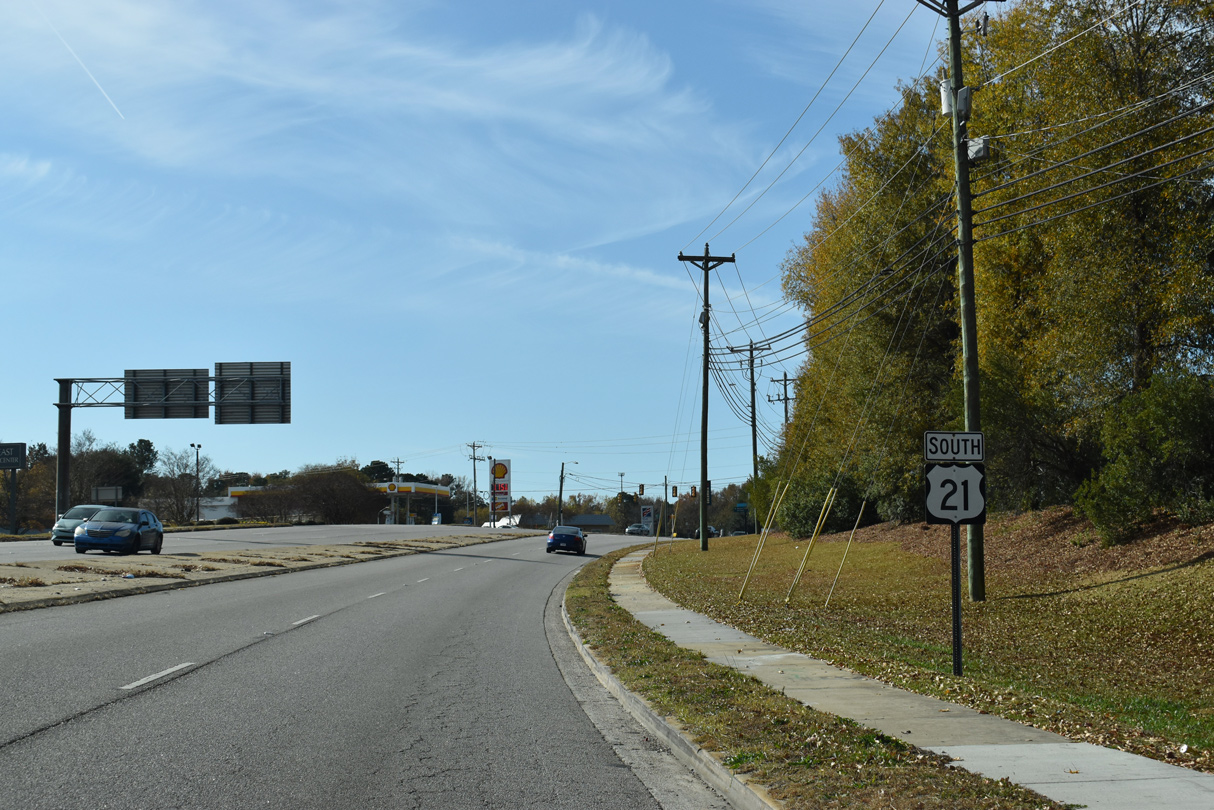
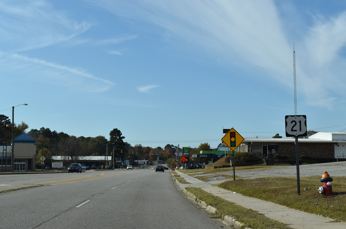
U.S. 21 South - Blythewood to Columbia

 South
South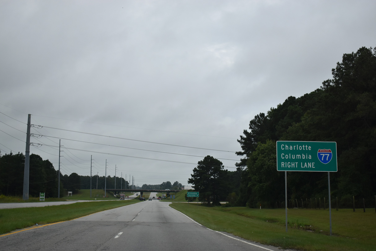
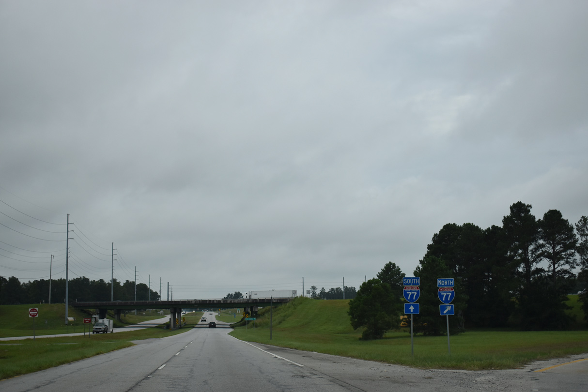
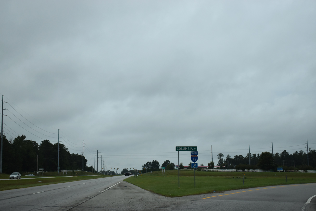
U.S. 21 south meets Interstate 77 for the fourth time between Blythewood and Columbia.
09/20/21
09/20/21
Separate ramps link U.S. 21 with each direction of Interstate 77 at a six-ramp parclo interchange.
09/20/21
09/20/21
09/20/21
09/20/21
09/20/21
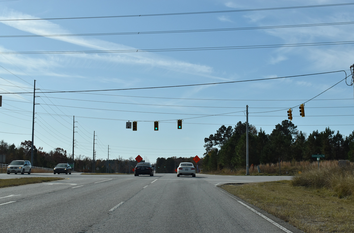
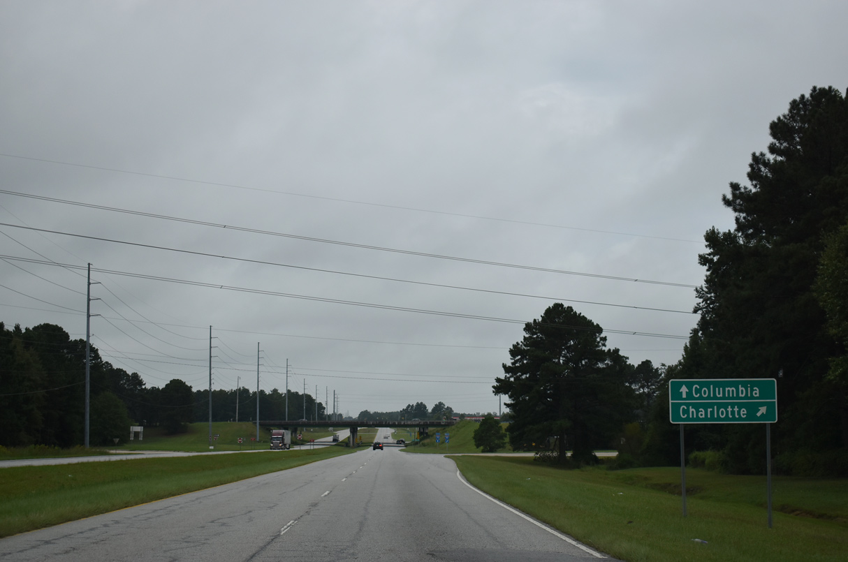
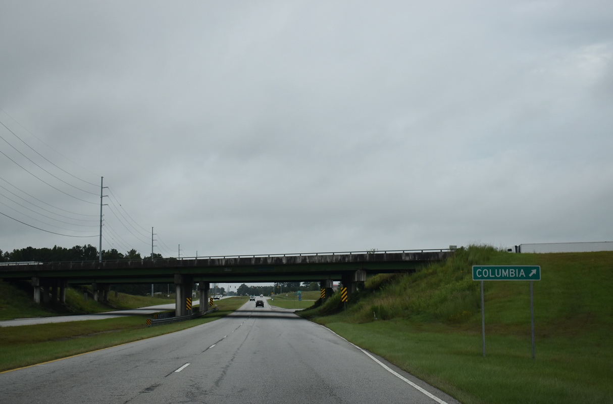
U.S. 21 intersects Community Road just beyond the six-ramp parclo interchange (Exit 24) with Interstate 77 in Blythewood.
11/21/21
11/21/21
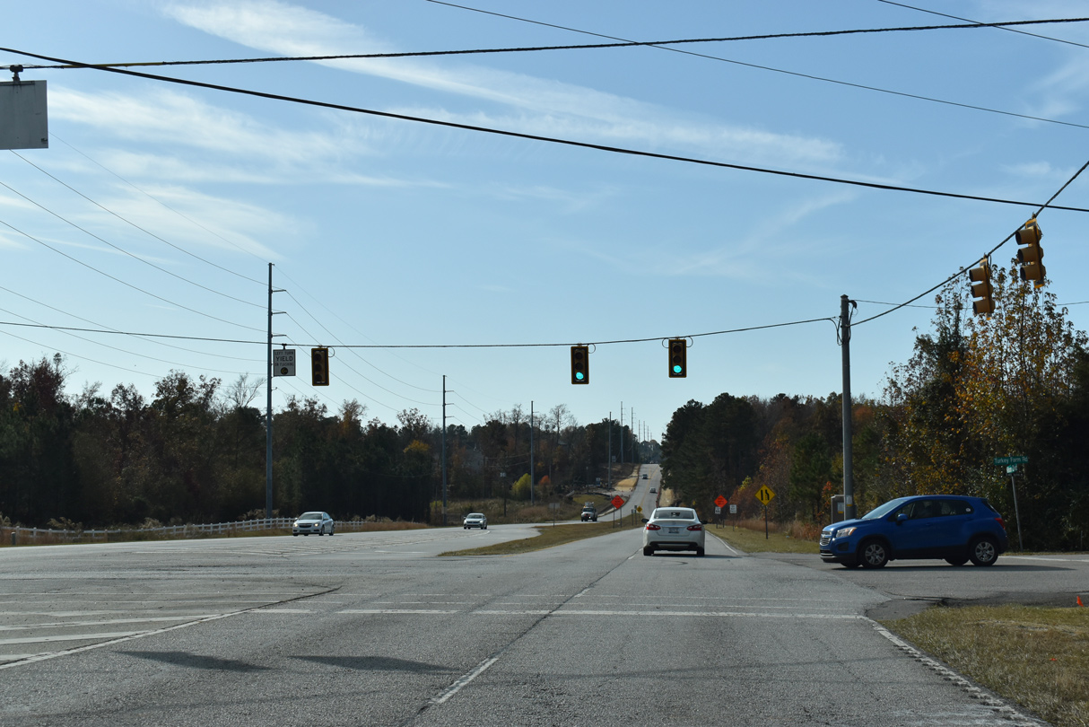
Turkey Farm Road stems 1.81 miles west from U.S. 21 (Wilson Boulevard) to Fulmer Road.
11/21/21
11/21/21
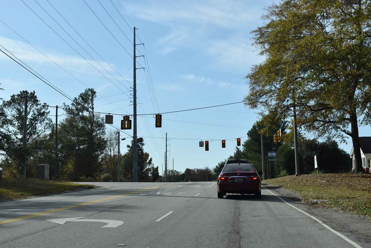
Killian Road (Road 52) forms an arterial belt route with Clemson Road southeast from Blythewood to Pontiac and S.C. 12 (Percival Road).
11/21/21
11/21/21

11/21/21
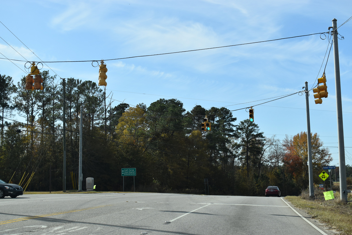
Pisgah Church Road (Road 34) angles 1.15 miles southeast from U.S. 21 at Nubbin Ridge Road to S.C. 555 (Farrow Road).
11/21/21
11/21/21

11/21/21
11/21/21
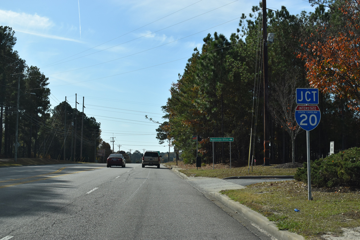
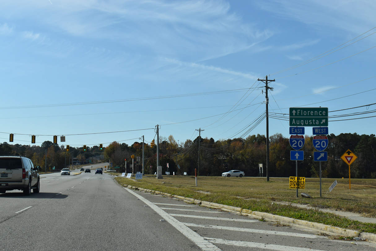
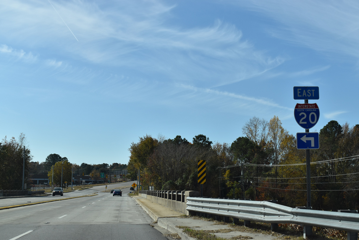
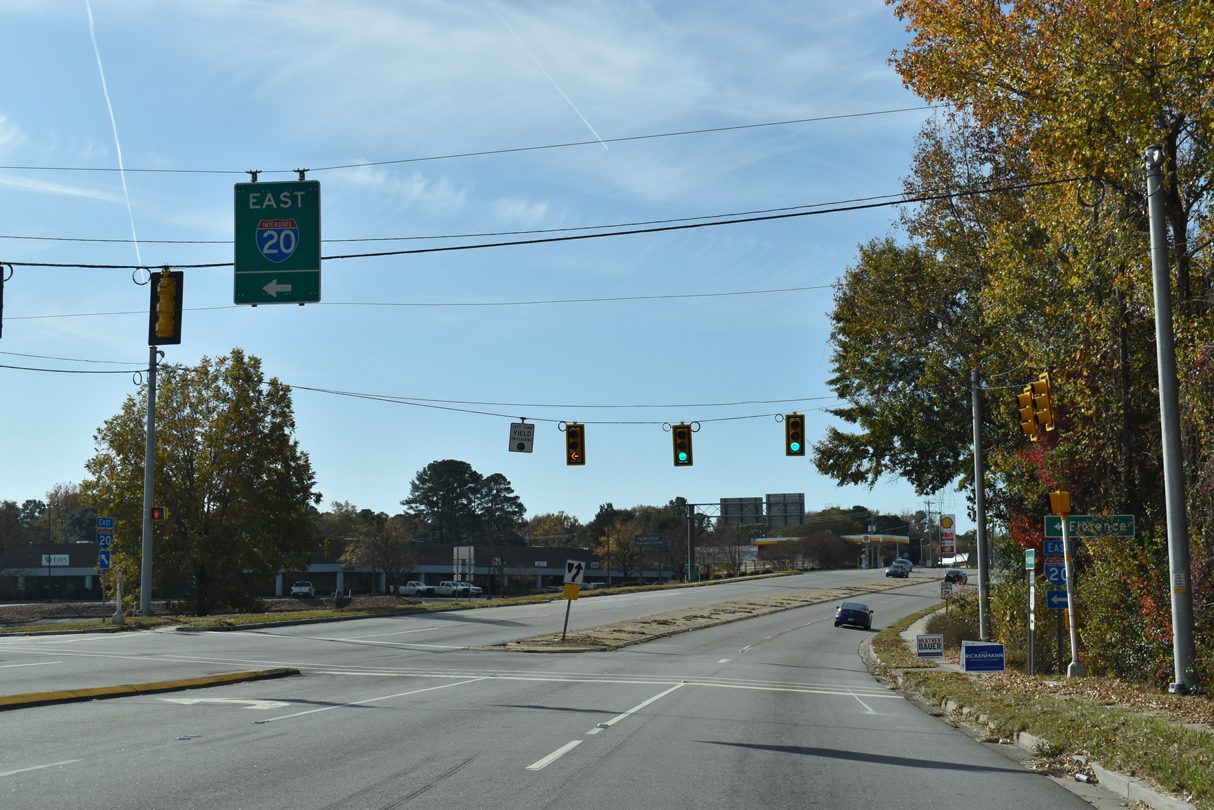
U.S. 21 (Wilson Boulevard) meets Interstate 20 at a parclo B2 interchange (Exit 71) along the Columbia city line.
11/21/21
11/21/21
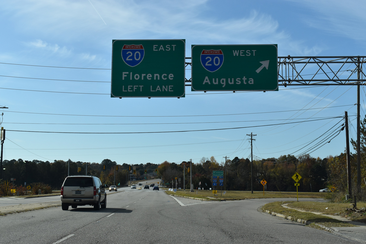
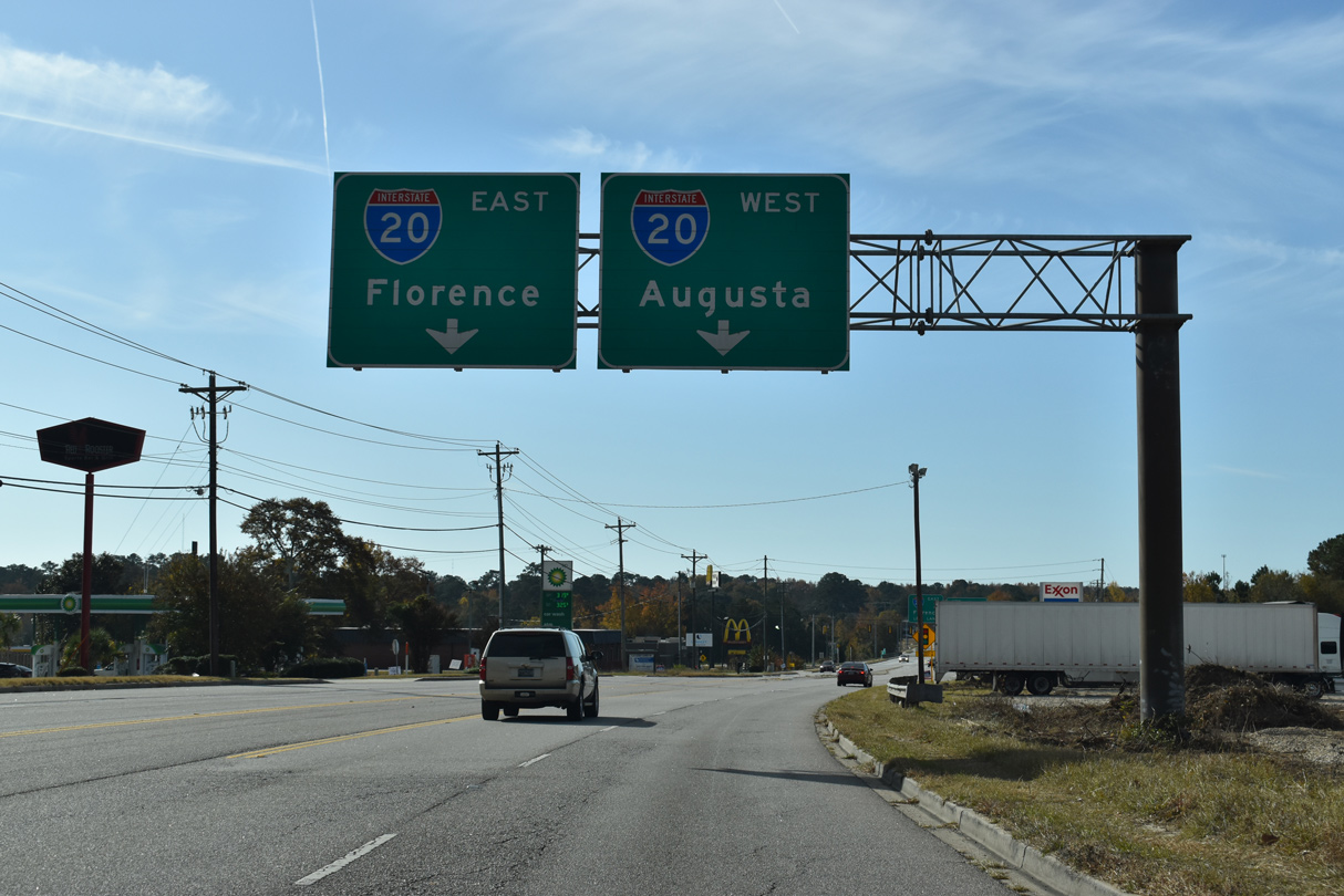
Interstate 20 leads west from Columbia toward Aiken and Augusta, Georgia.
11/21/21
11/21/21
11/21/21
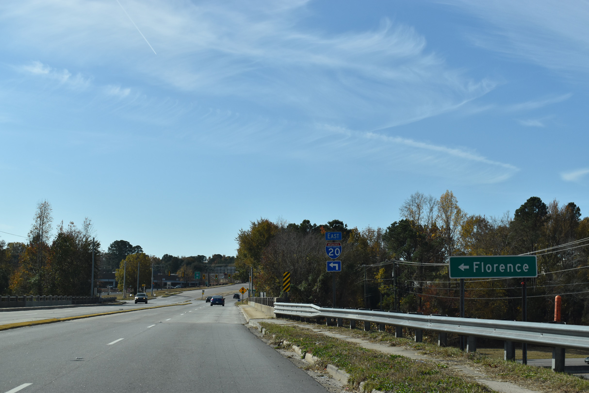
East from U.S. 21 (Main Street), Interstate 20 continues 71.8 miles to I-95/Business Spur I-20 at Florence.
11/21/21
11/21/21
11/21/21
11/21/21
11/21/21
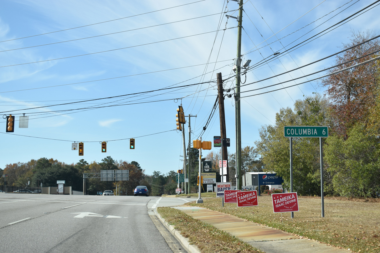
Downtown Columbia lies six miles southwest from the intersection of U.S. 21 (Main Street) and Wilkes Road (Road 218).
11/21/21
11/21/21
11/21/21
11/21/21
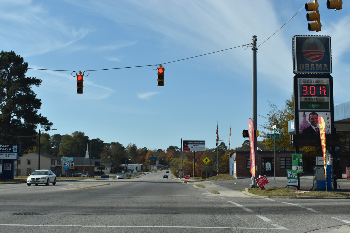
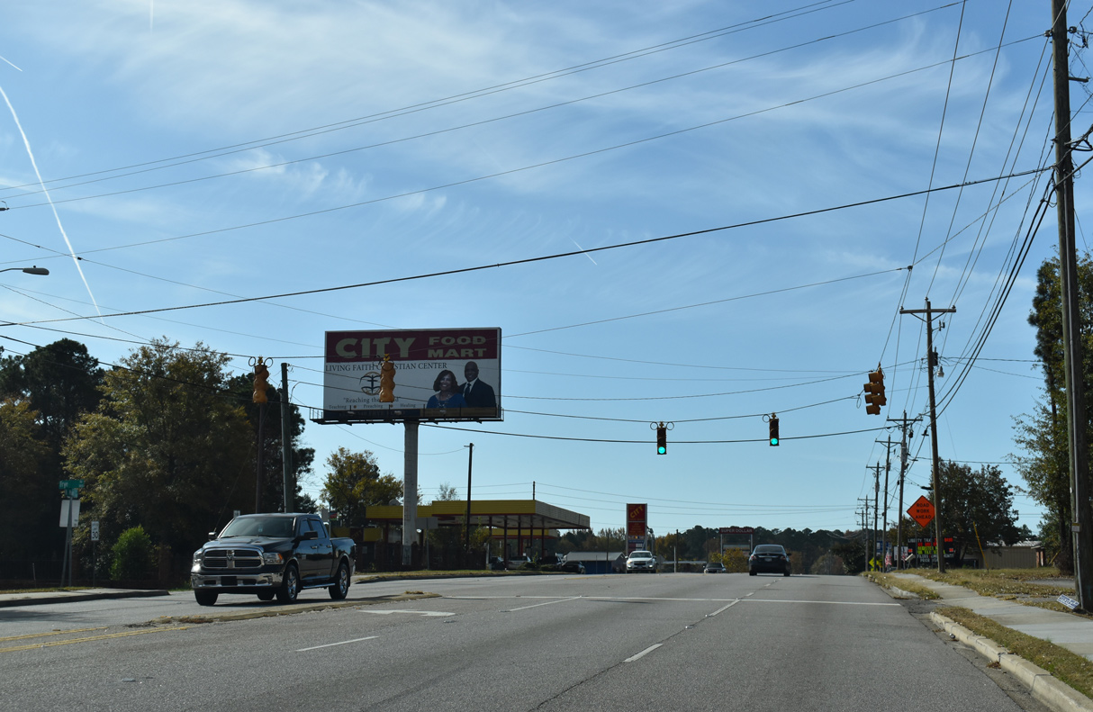
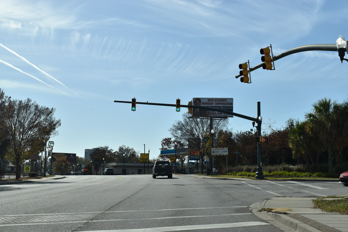
The Obama gas station lies at the corner of U.S. 21 (Main Street) and Prescott Road in Columbia.
11/21/21
11/21/21
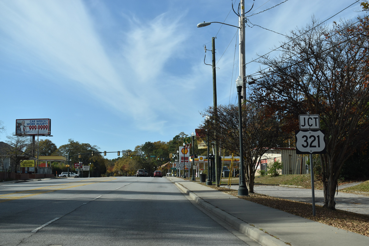
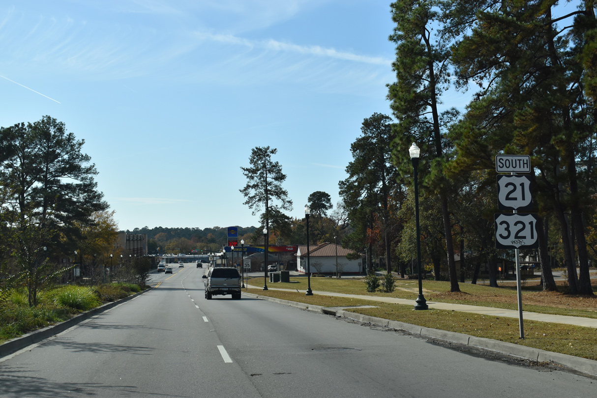
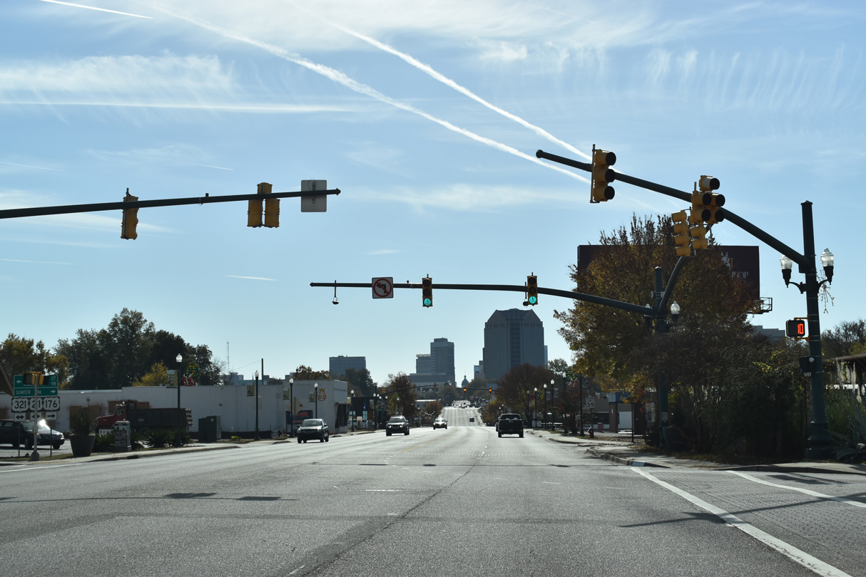
U.S. 321 (Fairfield Road) south converges with U.S. 21 (Main Street) by Columbia College.
11/21/21
11/21/21
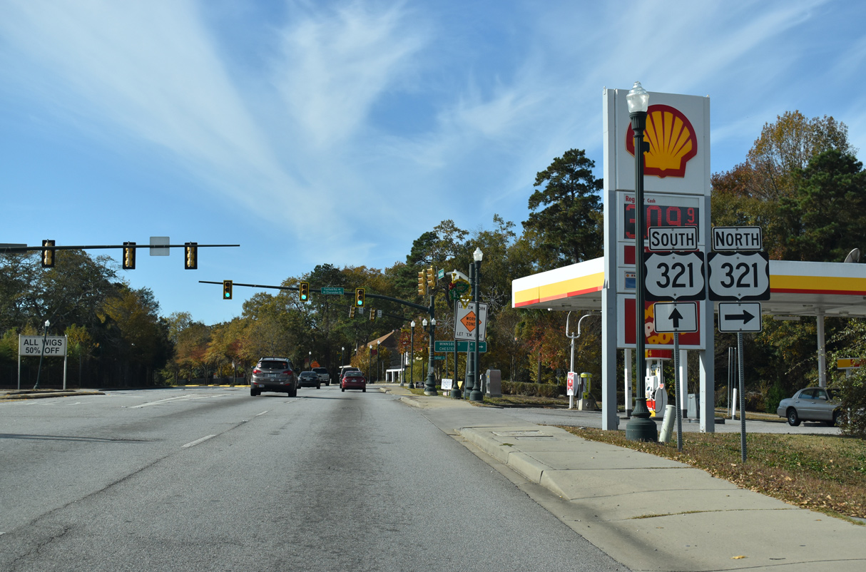
U.S. 321 (Fairfield Road) travels north from Columbia along a rural route to Winnsboro.
11/21/21
11/21/21
11/21/21
 South
South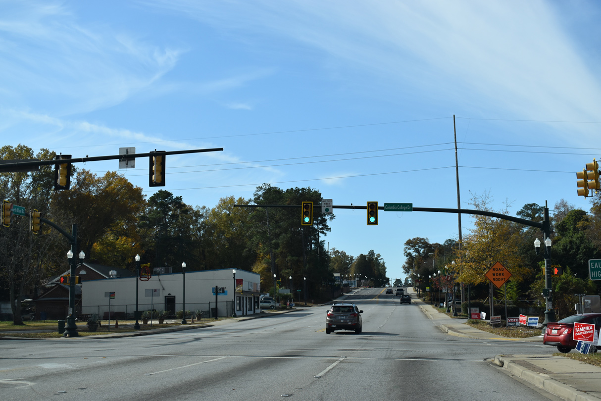
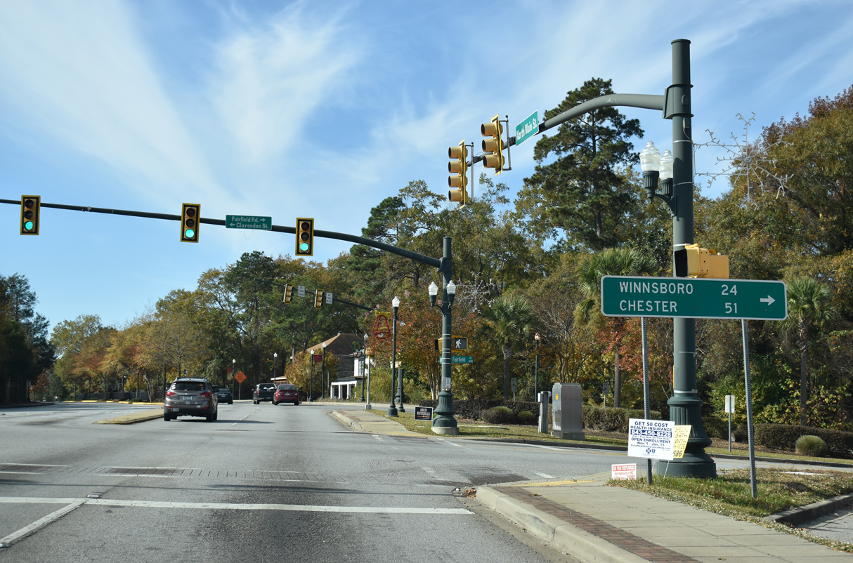
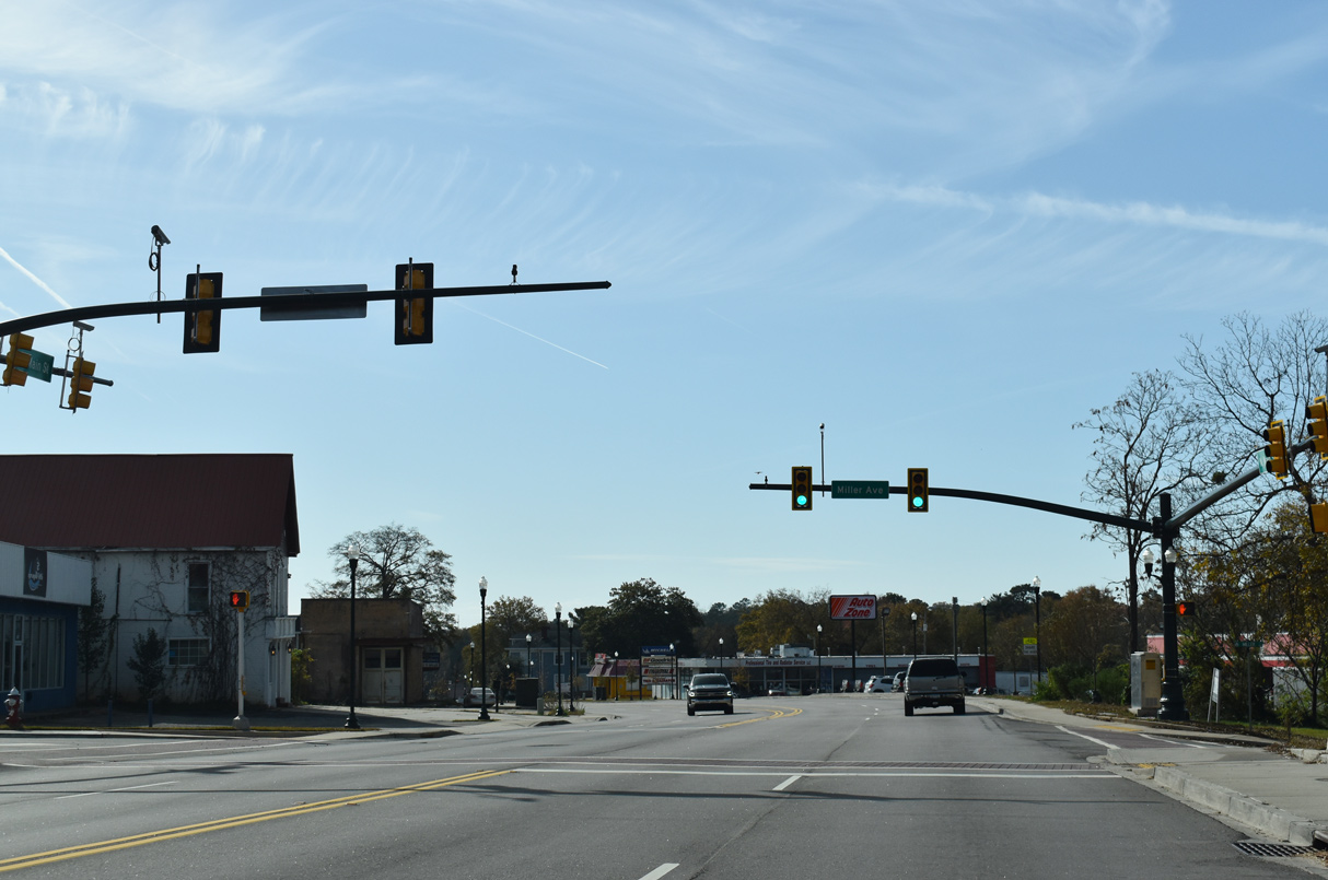
U.S. 21/321 (Main Street) combine southbound ahead of Columbia College Drive.
11/21/21
11/21/21
11/21/21

11/21/21
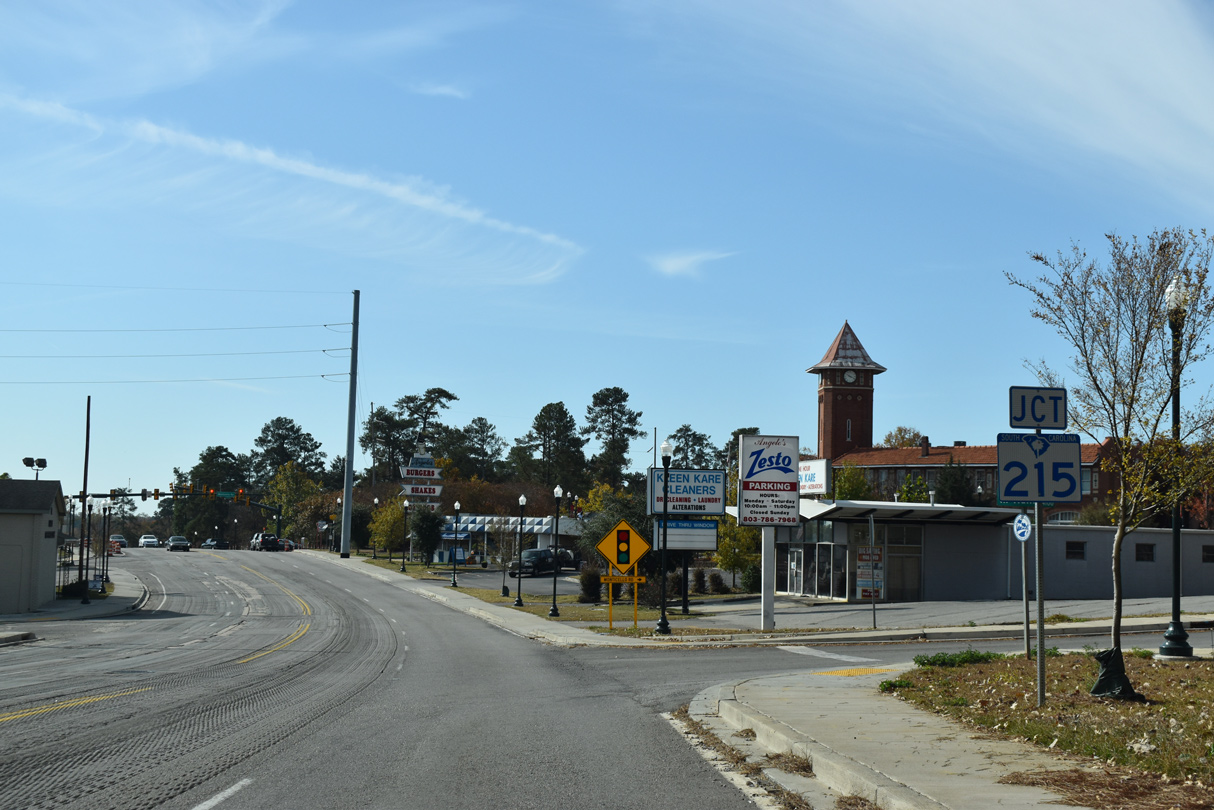
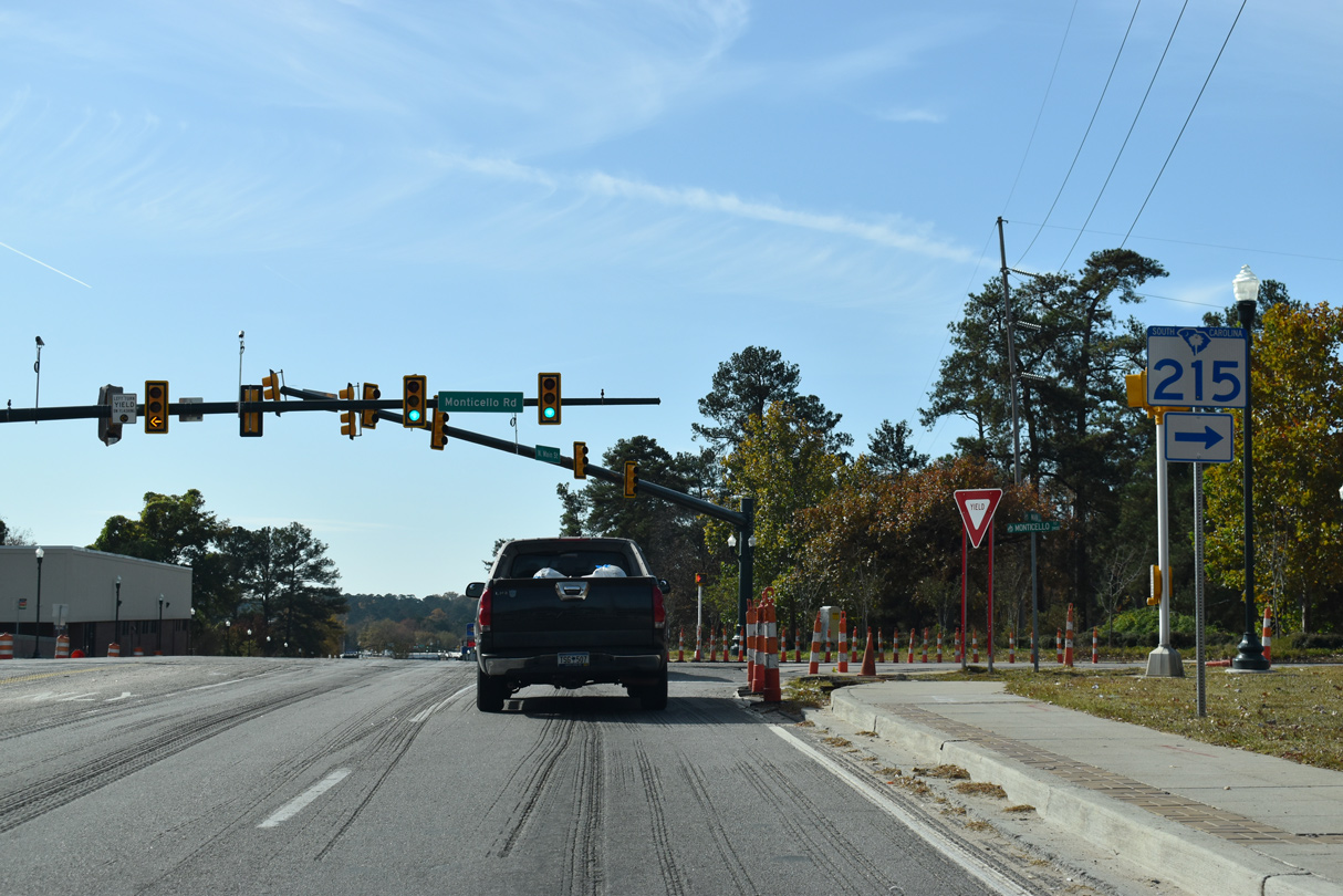
The south end of S.C. 215 (Monticello Road) ties into U.S. 21/321 (Main Street) from the Eau Claire community in Columbia.
11/21/21
11/21/21
11/21/21
11/21/21
11/21/21
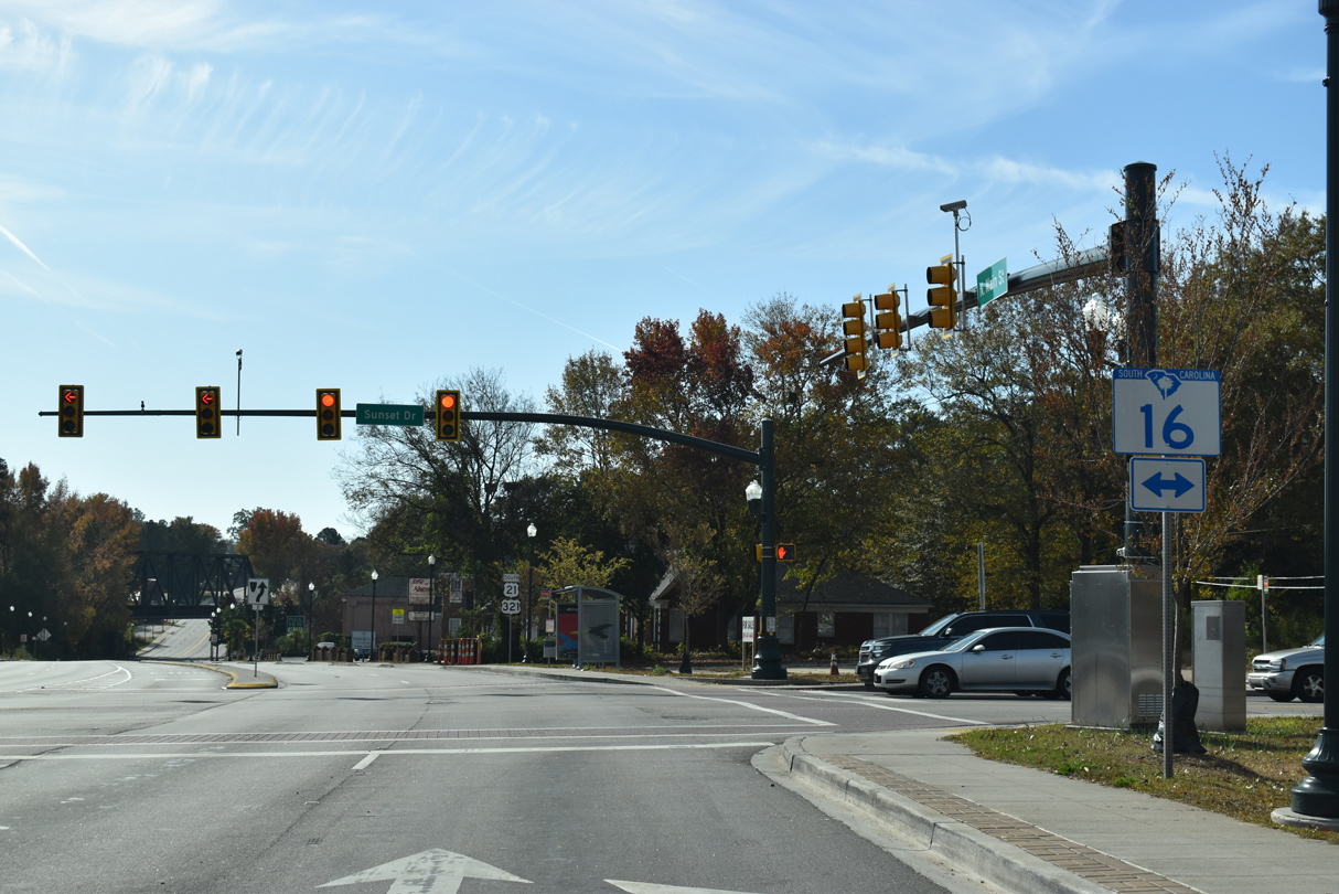
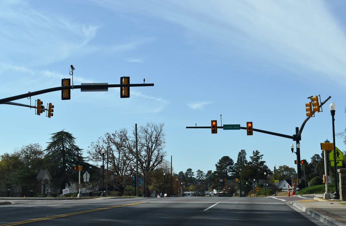
S.C. 16 (Sunset Drive) constitutes a 9.55 mile long belt route encircling central Columbia west to U.S. 176 (River Drive) and south to S.C. 48 (Assembly Street).
11/21/21
11/21/21

11/21/21
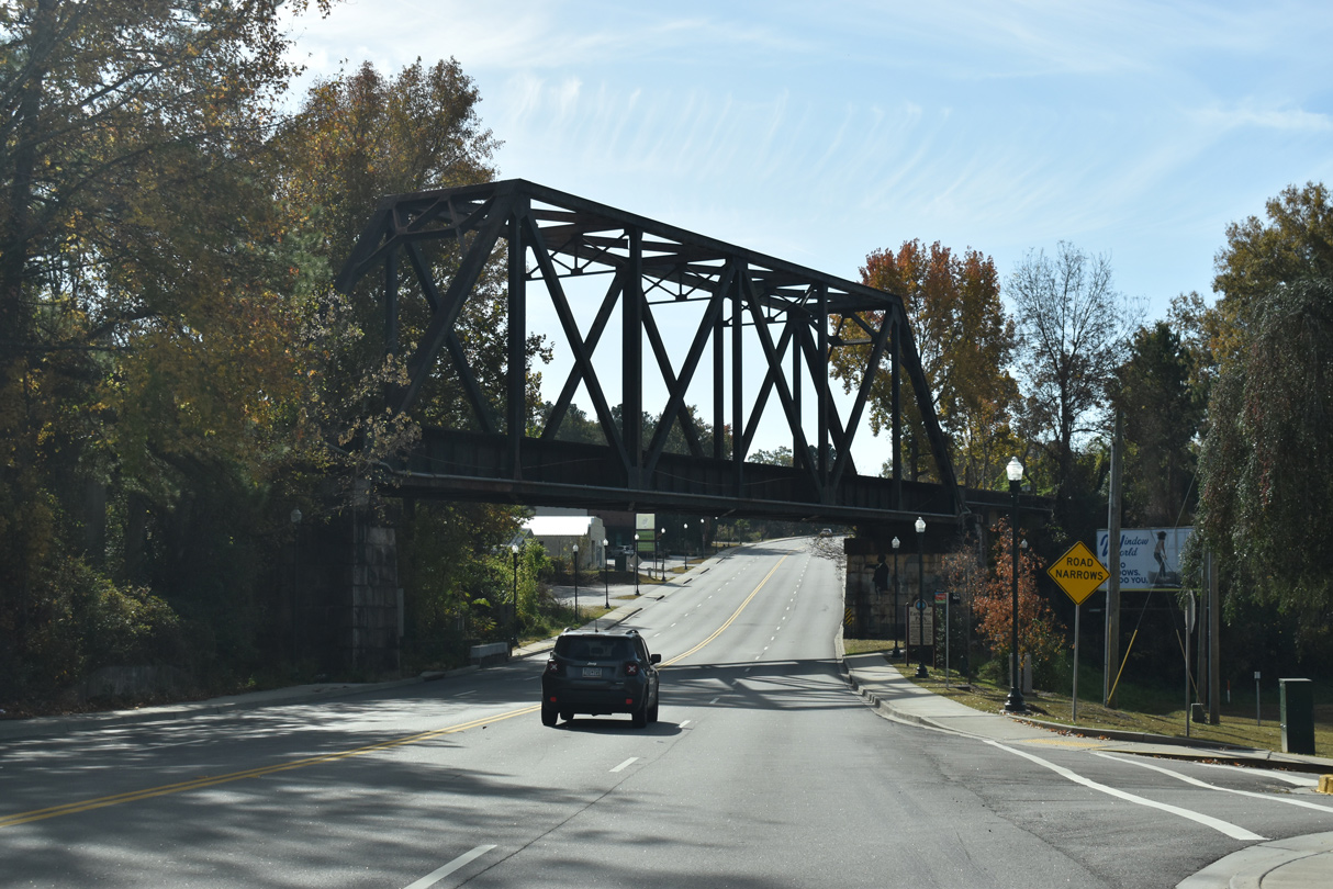
A truss bridge along the CSX Railroad spans U.S. 21/321 (Main Street) by Earlewood Park.
11/21/21
11/21/21
11/21/21
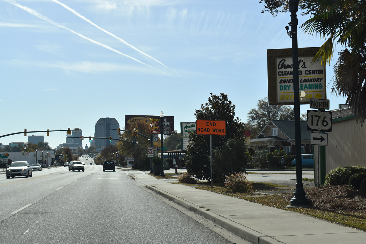
U.S. 176 (River Drive) converges with U.S. 21/321 (Main Street) southeast from the Earlewood neighborhood.
11/21/21
11/21/21
Beyond Columbia and the Broad River, U.S. 176 parallels I-26/U.S. 76 to the east from St. Andrews northwest to Irmo.
11/21/21
11/21/21
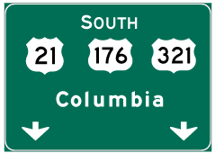
Photo Credits:
- Brent Ivy: 09/20/21
- ABRoads: 11/21/21
Connect with:
Page Updated Monday March 14, 2022.