
U.S. 21/176/321 South - Columbia


 South
South
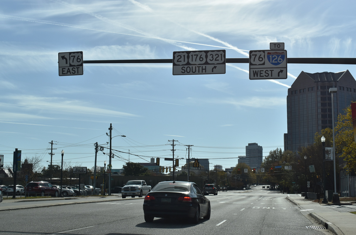
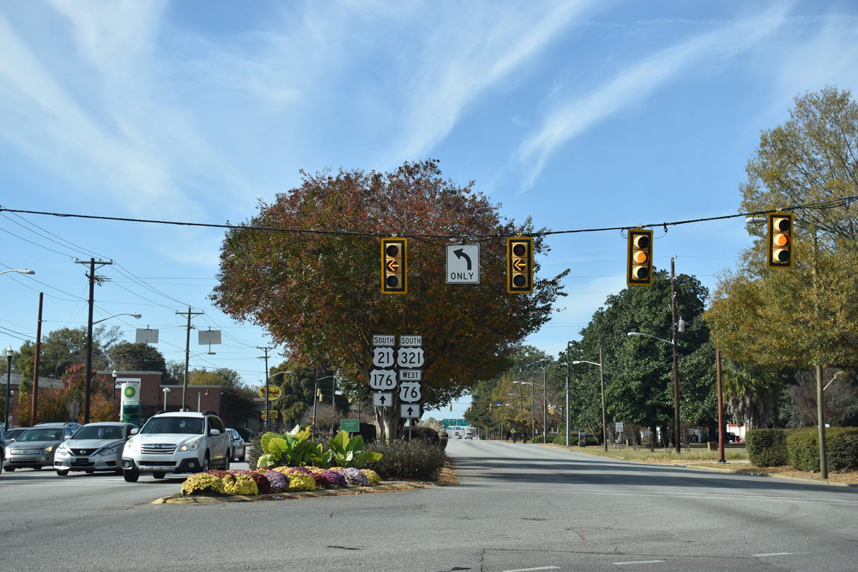
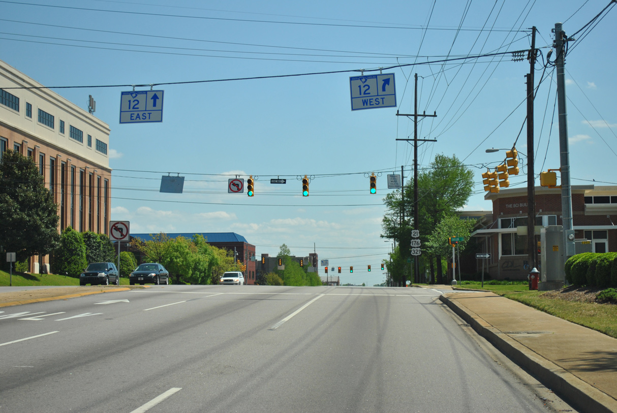
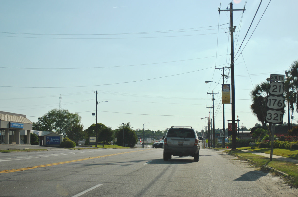
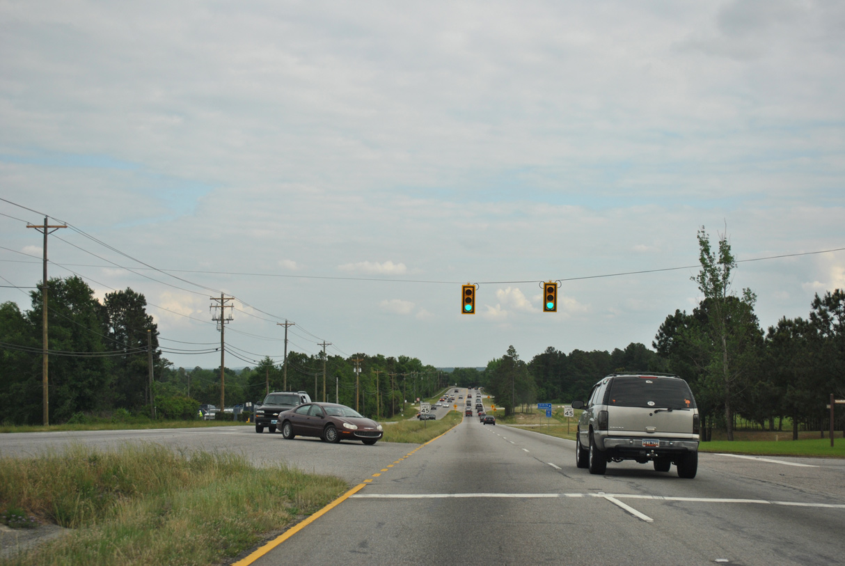
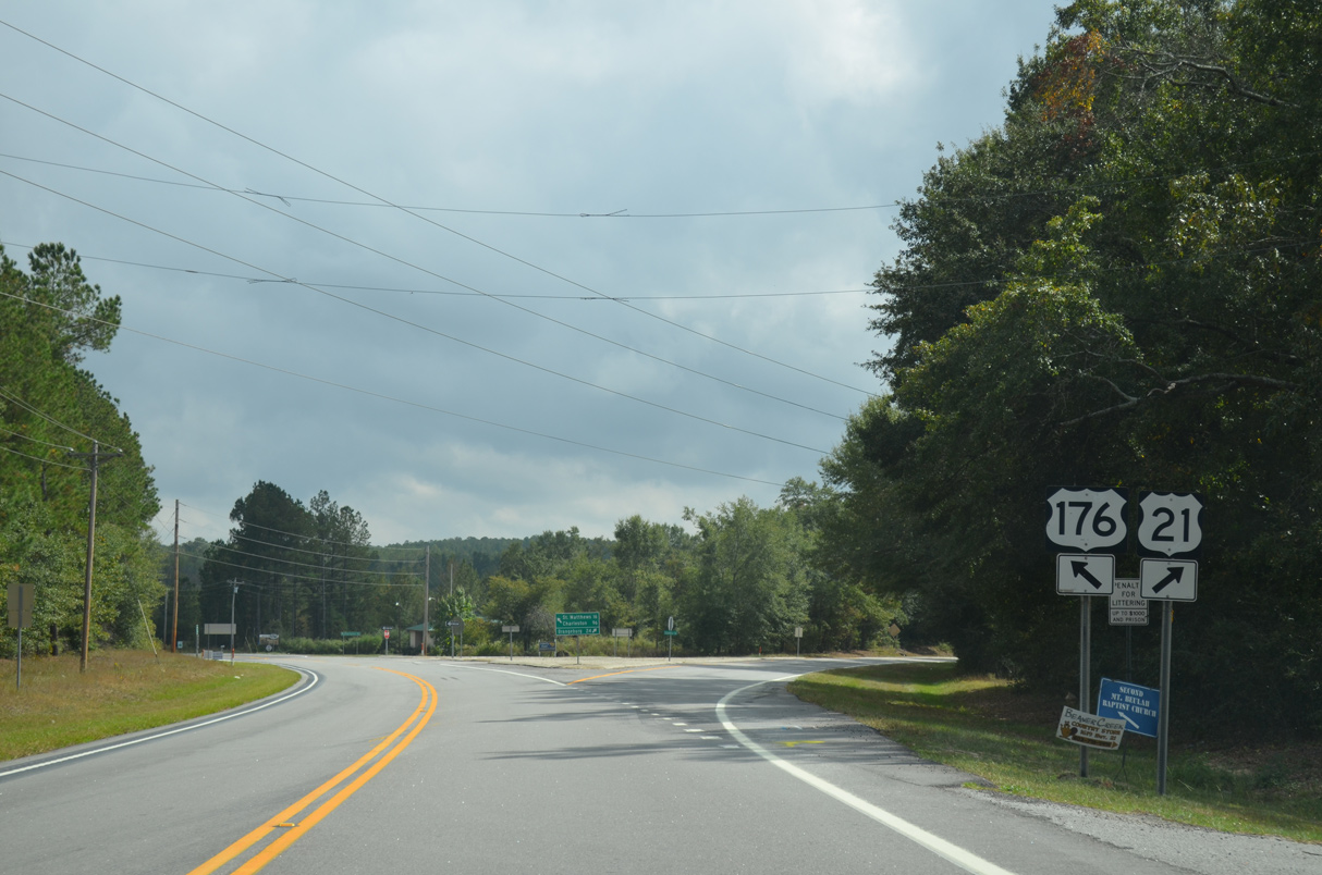
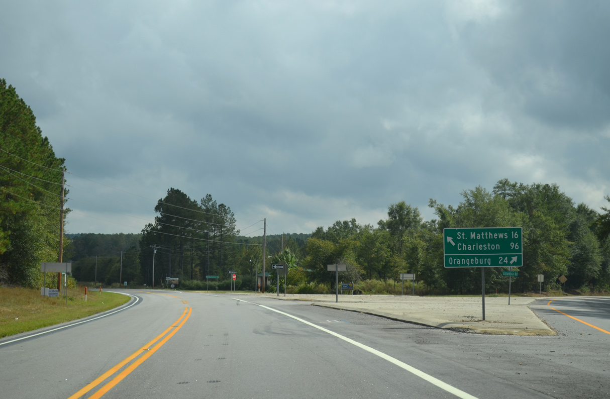
U.S. 176 joins U.S. 21/321 (Main Street) south from River Drive ahead of the traffic light at Confederate Avenue.
11/21/21
11/21/21

11/21/21
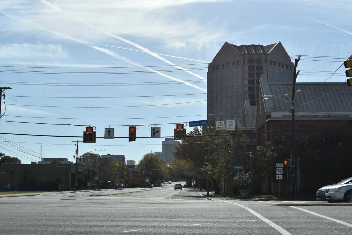
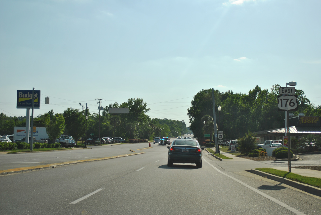
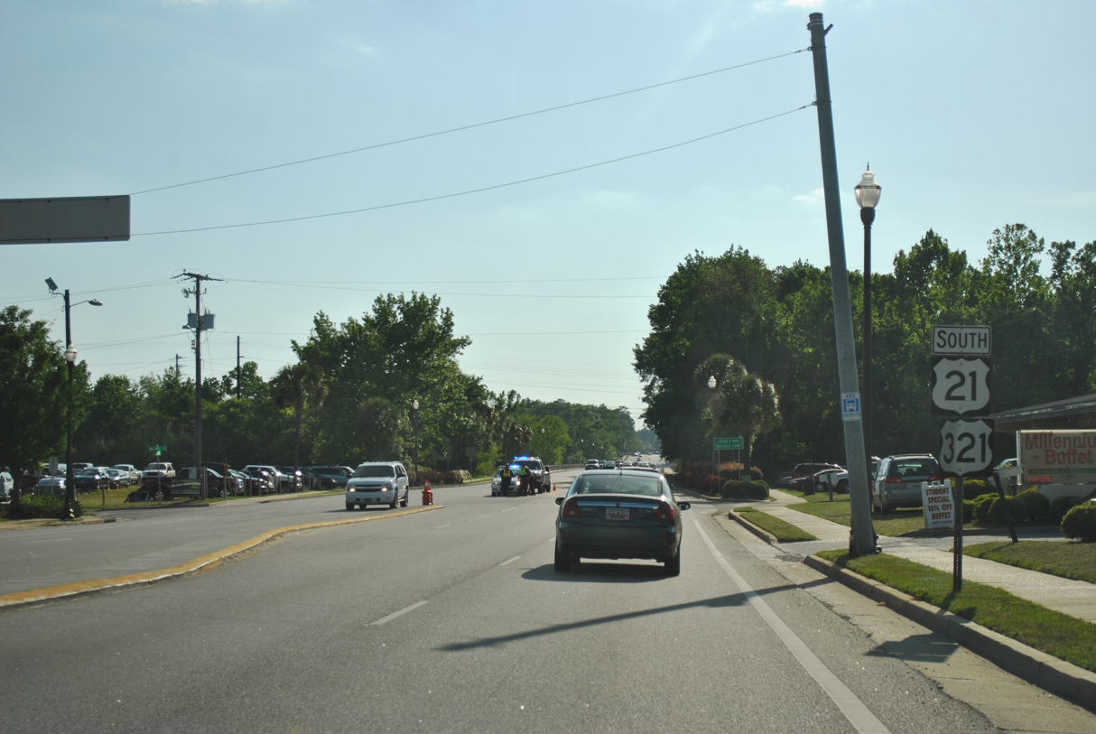
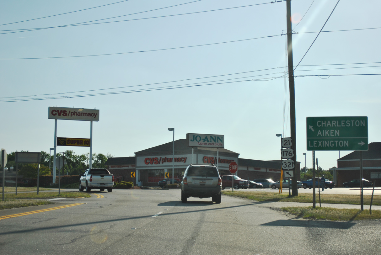
U.S. 21/176/321 (Main Street) proceed 0.39 miles south from Confederate Avenue to U.S. 76 (Elmwood Avenue) outside Downtown Columbia.
11/21/21
11/21/21
U.S. 76 lines Elmwood Avenue four blocks (0.32 miles) west from S.C. 277 (Bull Street) and overlaps with U.S. 21/176/321 four blocks (0.37 miles) to Interstate 126.
11/21/21
11/21/21
South  West
West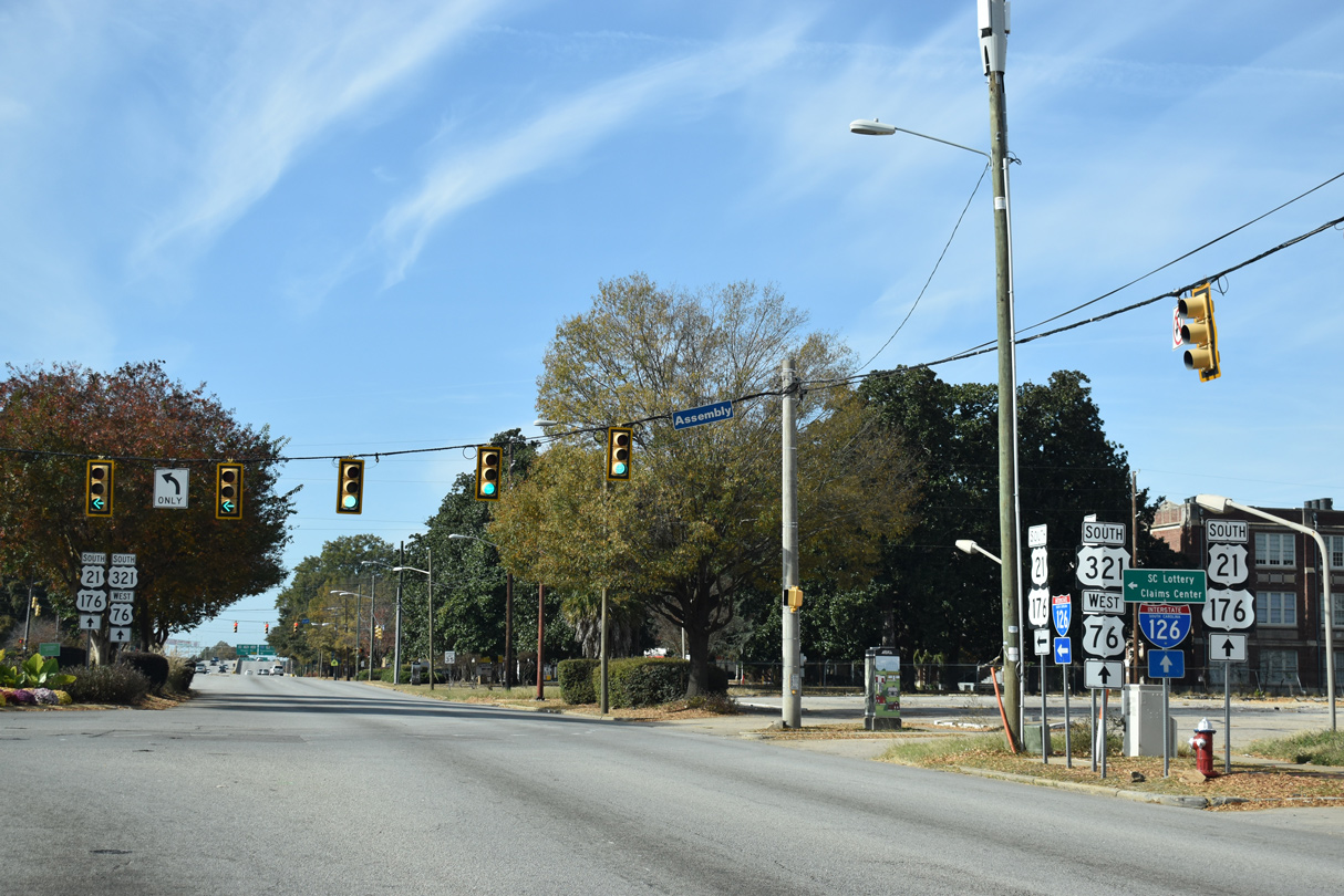
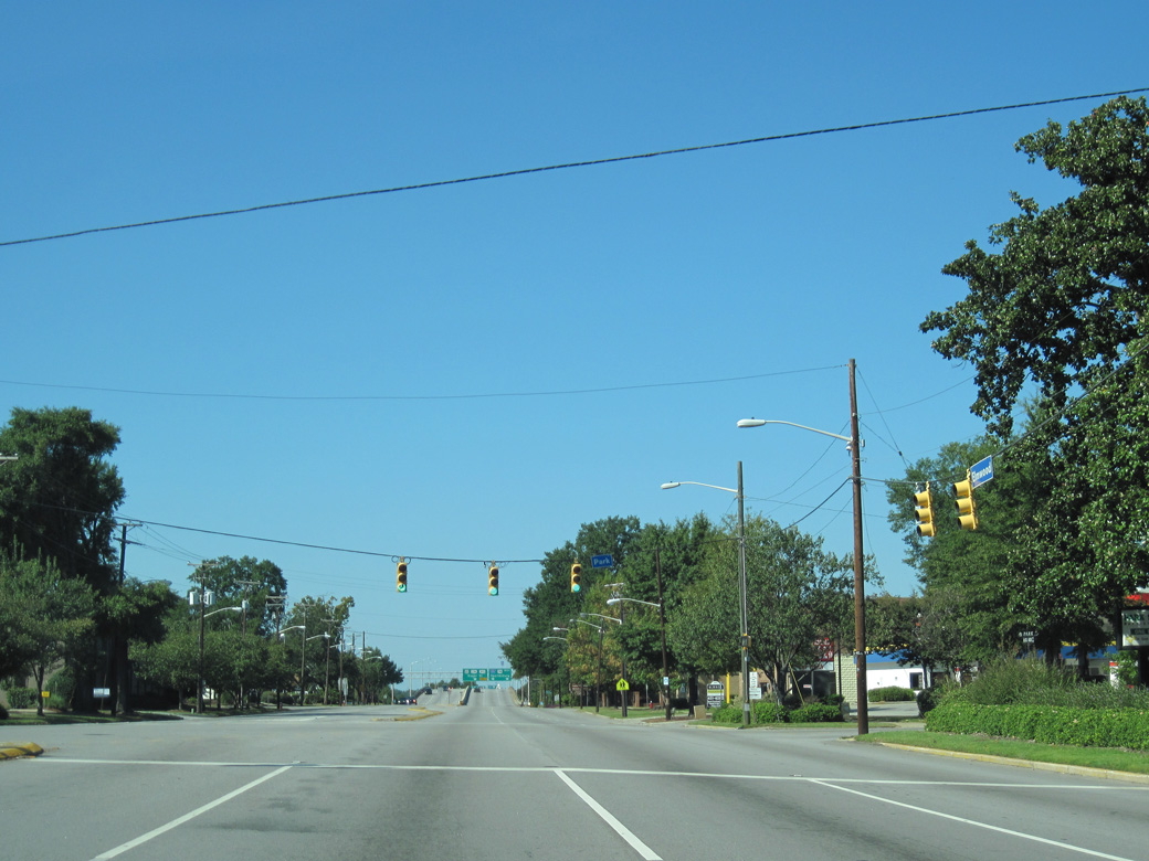
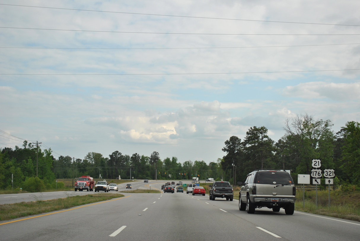
S.C. 48 (Assembly Street) stems south from U.S. 21/76/176/321 to the State Capitol and the University of South Carolina (USC) campus.
11/21/21
11/21/21
11/21/21
10/03/10
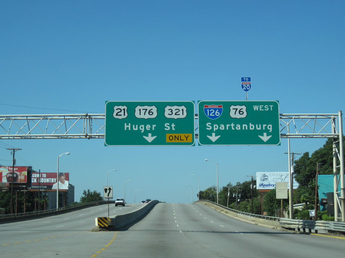
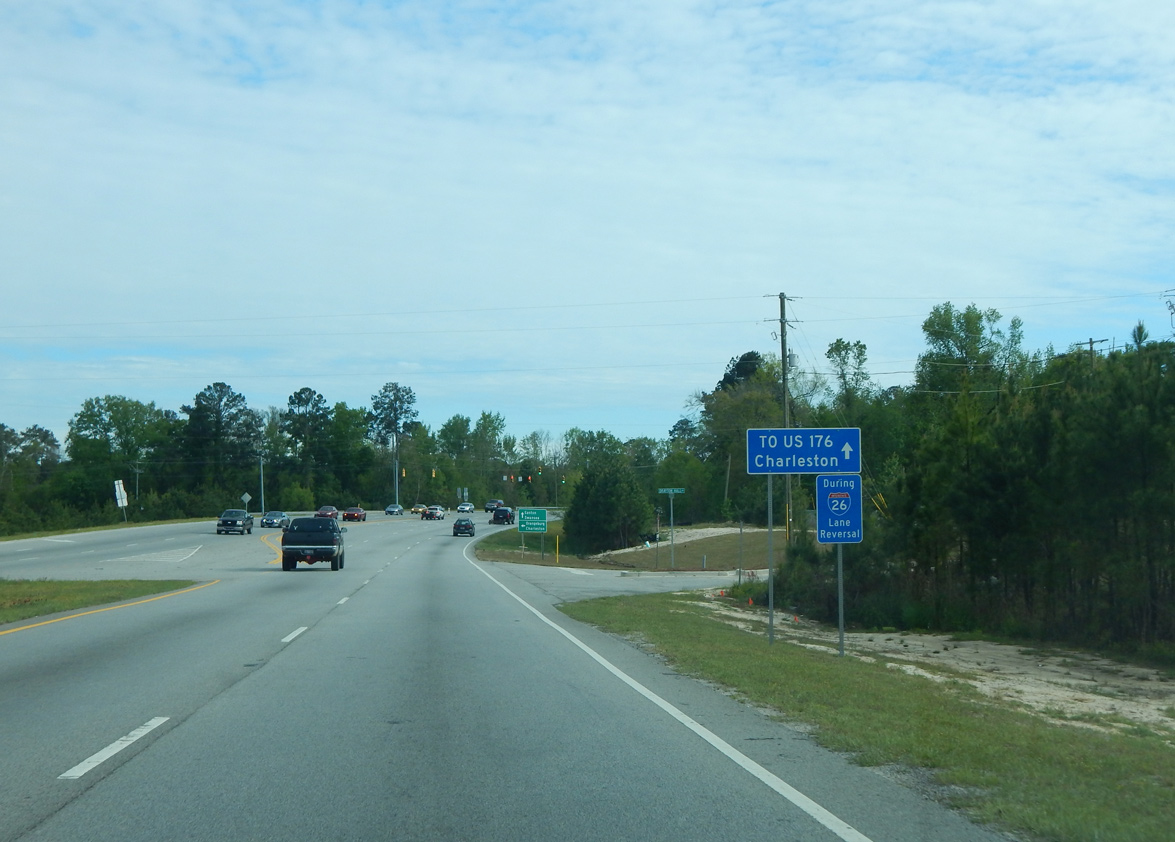
U.S. 21/76/321 turn south onto Huger Street from the multi level interchange taking U.S. 76 (Elmwood Avenue) west onto Interstate 126.
10/03/10
10/03/10
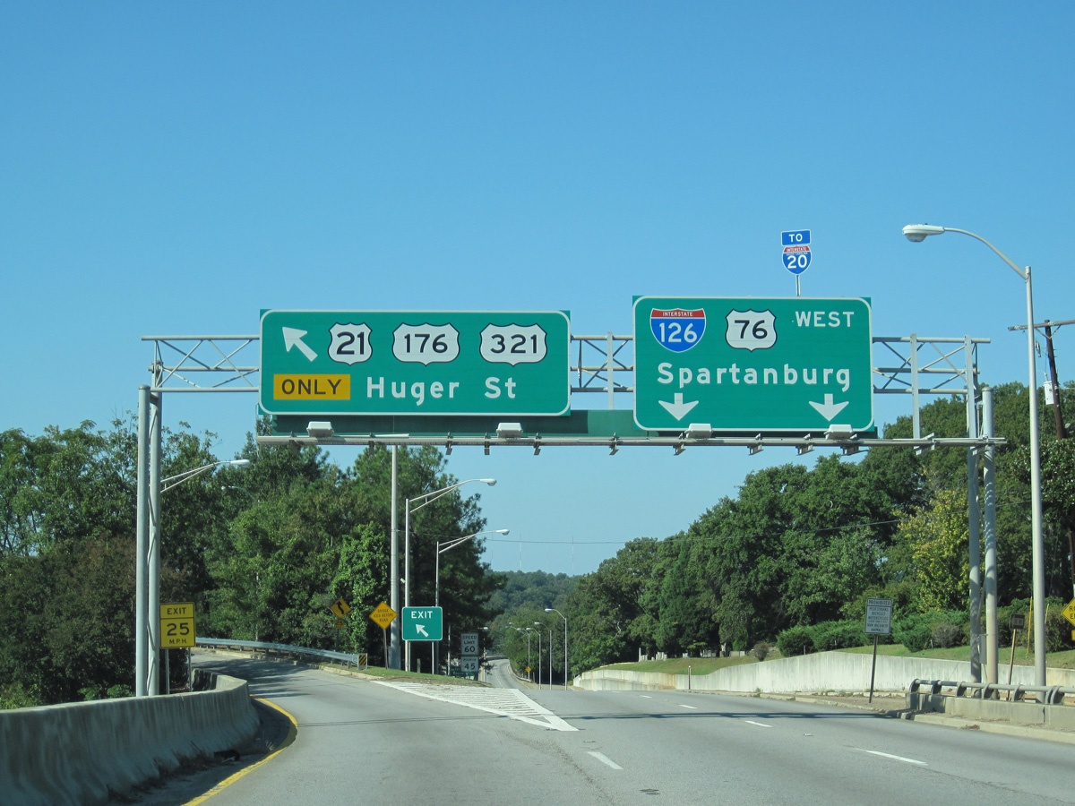
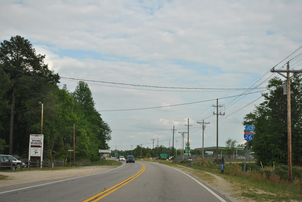
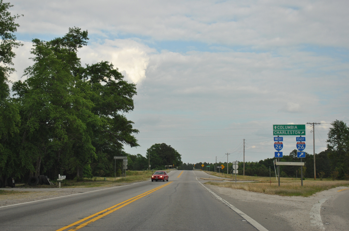
Interstate 126 comprises a 3.68 mile long spur from Huger Street at Elmwood Avenue to I-26 south of I-20 at St. Andrews.
10/03/10
10/03/10
South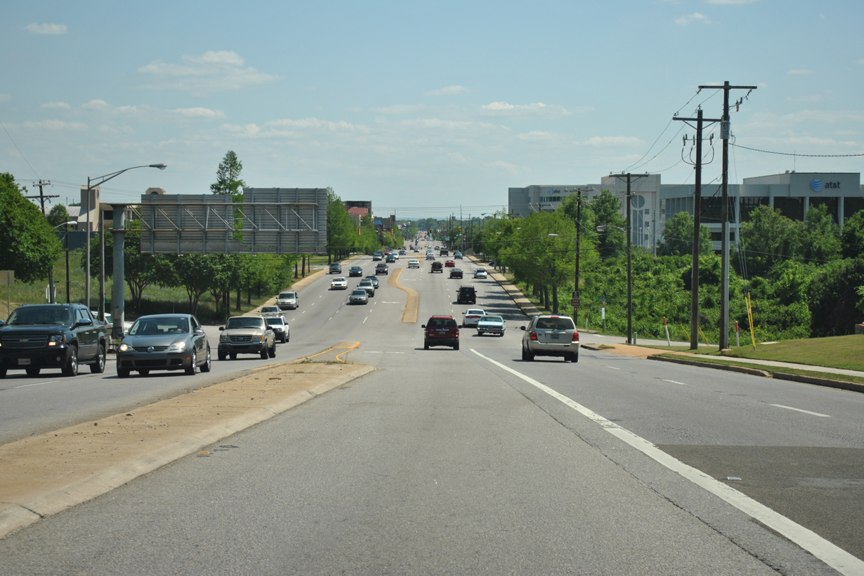
U.S. 21/176/321 continue south from I-126/U.S. 76 onto Huger Street at Richland Street.
04/14/12
04/14/12

04/14/12
04/14/12

04/14/12
Huger Street south at U.S. 1/378 (Gervais Street).
04/15/12
04/15/12
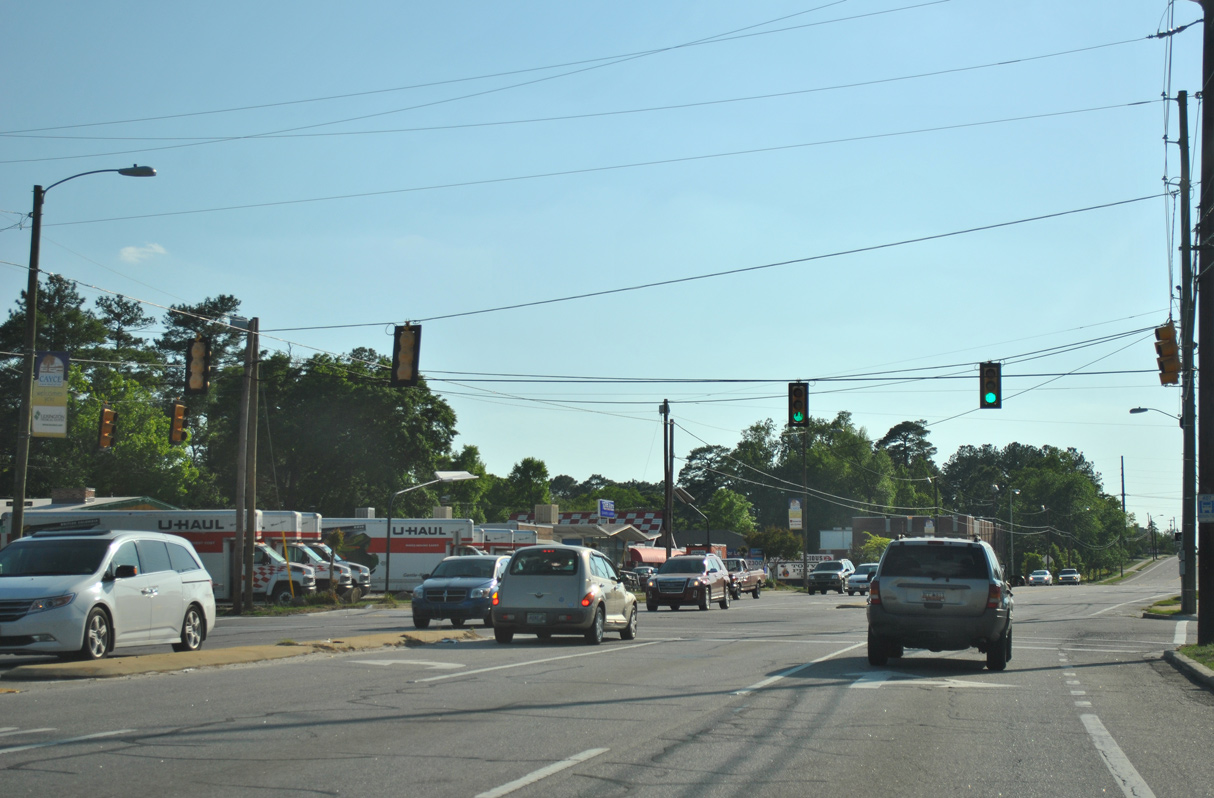
U.S. 21/176/321 advance west along Blossom Street from Huger Street to the city of Cayce.
04/14/12
04/14/12
04/14/12
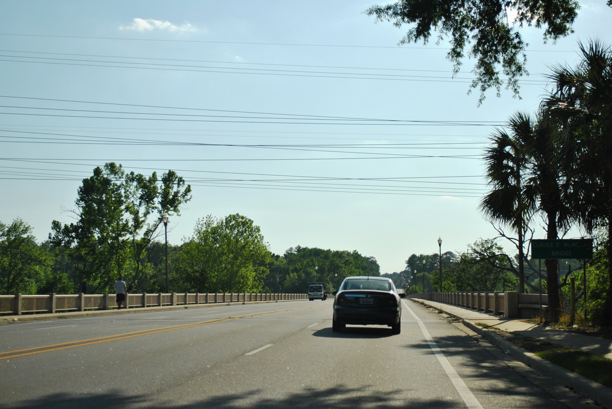
U.S. 21/176/321 span the Congaree River over the Claude R. McMillan Bridge.
04/14/12
04/14/12

U.S. 1/378 span the Congaree River across the Gervais Street Bridge to the north.
04/14/12
04/14/12
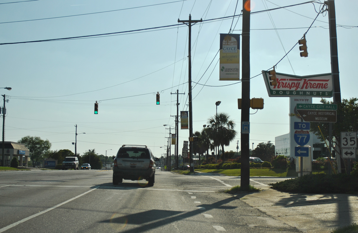
U.S. 21/176/321 (Knox Abbott Drive) west at 9th Street (Road 370) in Cayce.
04/14/12
04/14/12
04/14/12
04/14/12
U.S. 21/176/321 shift south onto Charleston Highway from Knox Abott Drive. Charleston Highway north is unsigned U.S. 21 Connector to U.S. 1 (Meeting Street) in West Columbia.
04/14/12
04/14/12
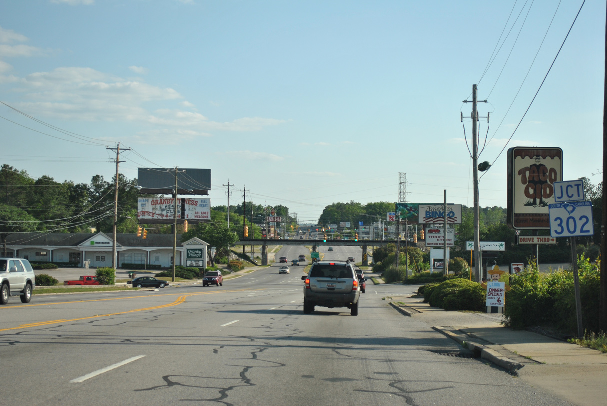
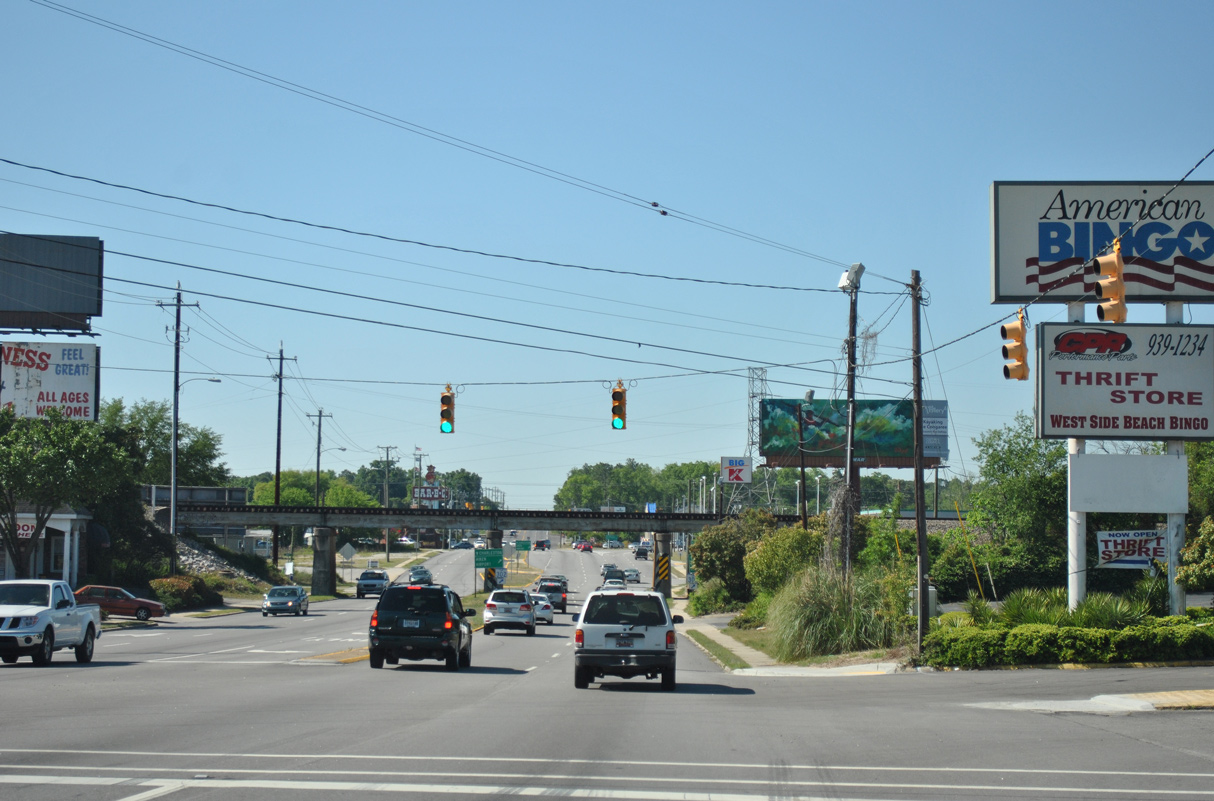
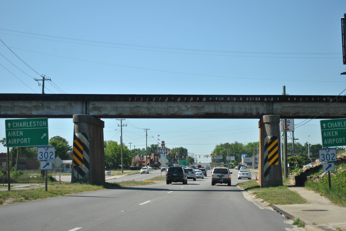
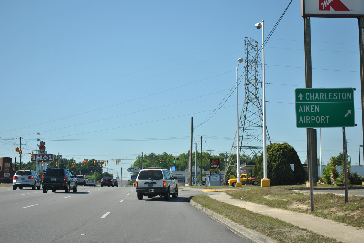
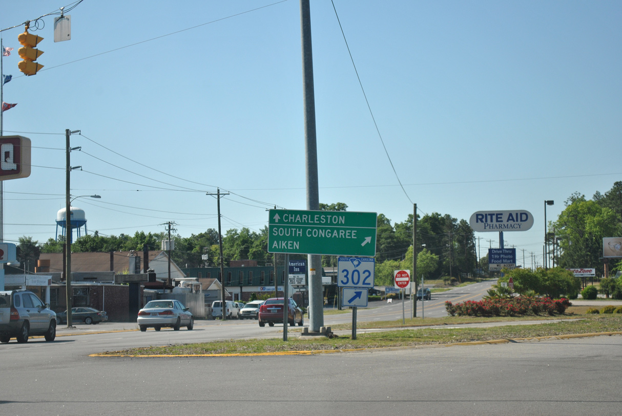
Charleston Highway angles southwest to S.C. 302 (Airport Boulevard) beyond a Norfolk Southern Railroad overpass.
04/14/12
04/14/12
04/14/12
04/14/12
04/14/12

04/14/12
04/14/12
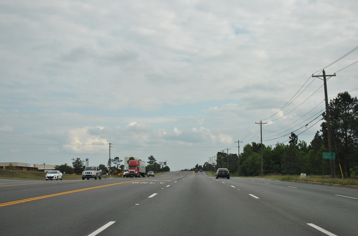
A distance sign posted along U.S. 21/176/321 (Charleston Highway) at Starmount Drive references Gaston and Swansea along the continuation of U.S. 321.
04/15/12
04/15/12
Sandhills Parkway intersects Charleston Highway at the entrance to Lexington County Industrial Park.
04/15/12
04/15/12

Gardners Terrace Road (Road 441) intersects U.S. 21/176/321 north at this traffic light cross from the South Carolina State Farmers Market.
04/15/12
04/15/12
04/15/12
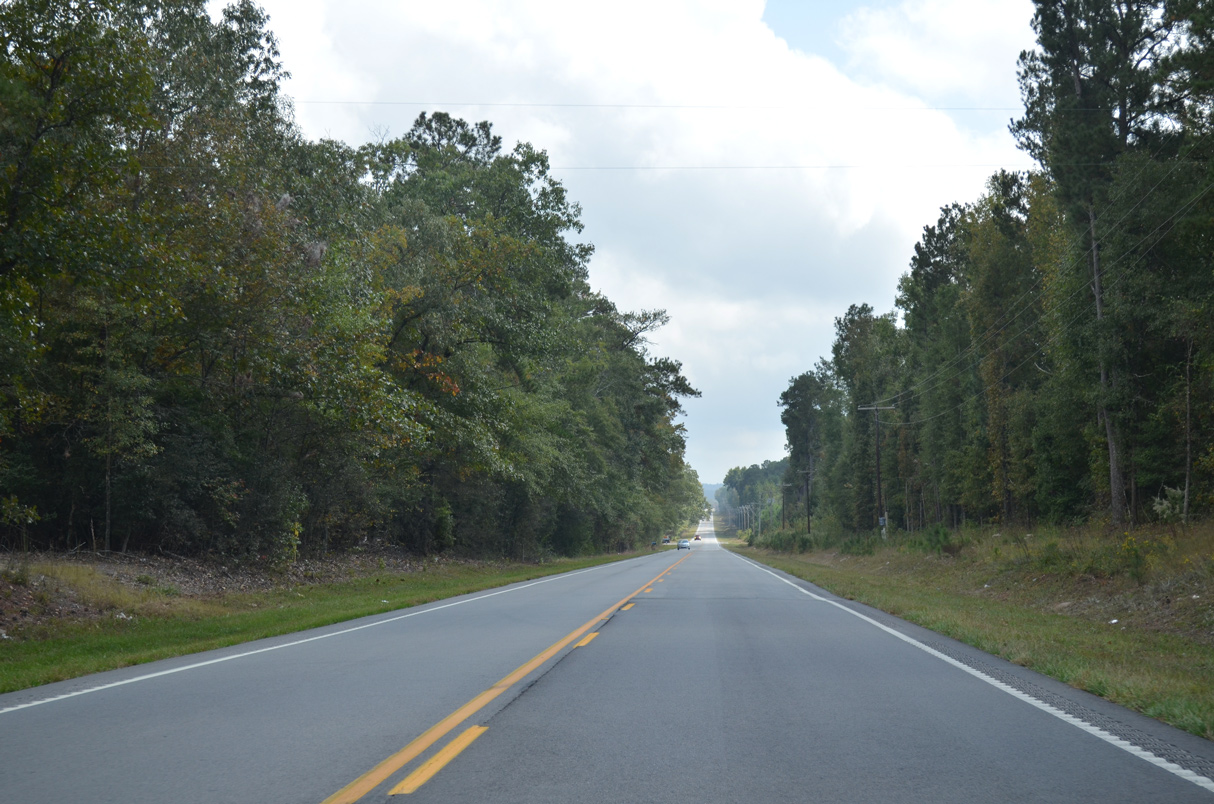
Charleston Highway south at Drayton Hill Road to the Drayton Hall subdivision.
04/10/16
04/10/16
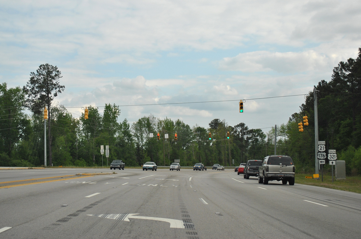
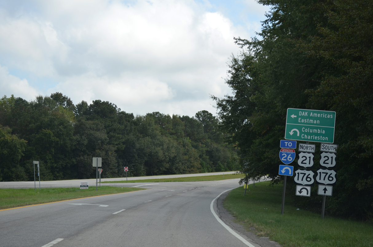
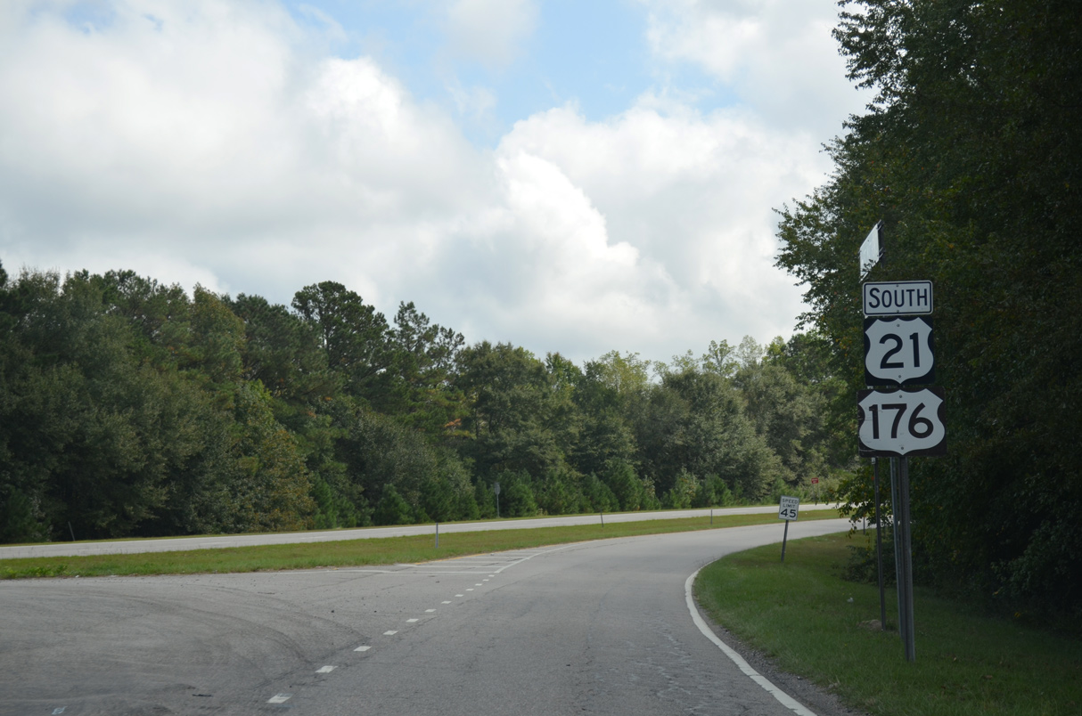
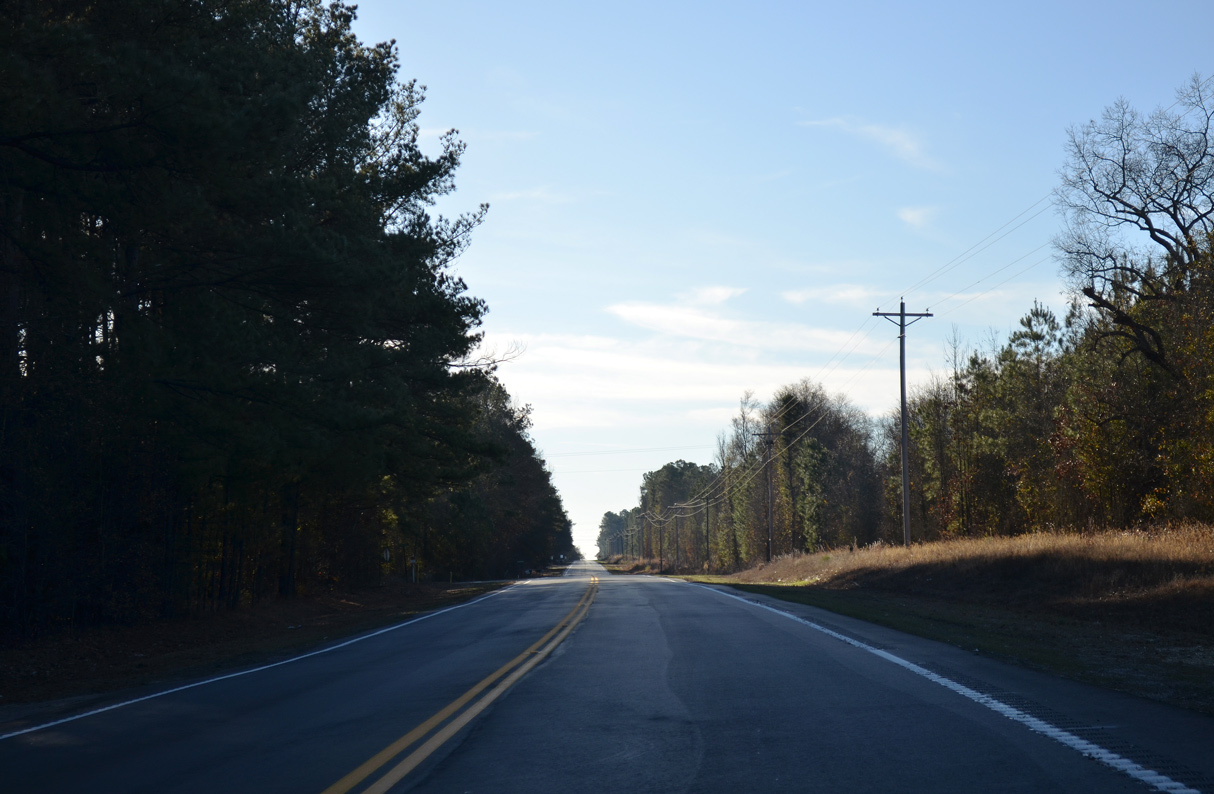
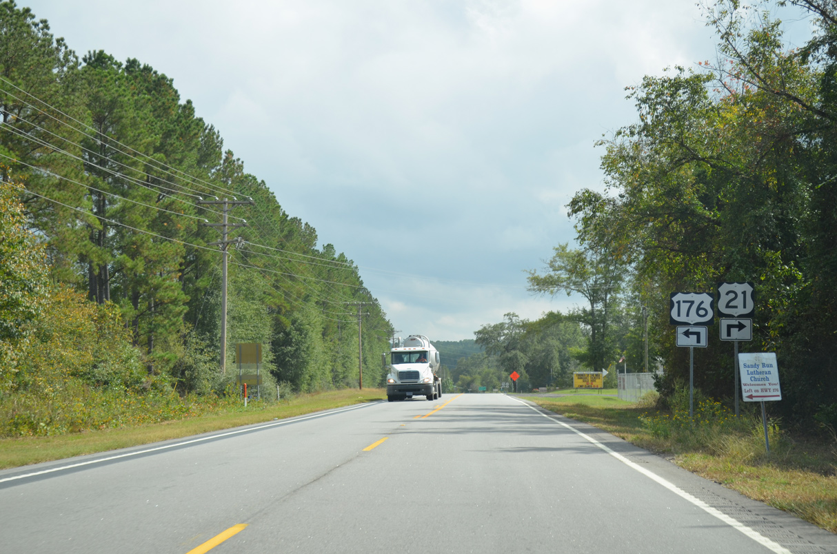
U.S. 21/176 (Charleston Highway) branches southeast toward Sandy Run while U.S. 321 turns southwest to the town of Gaston.
04/15/12
04/15/12
South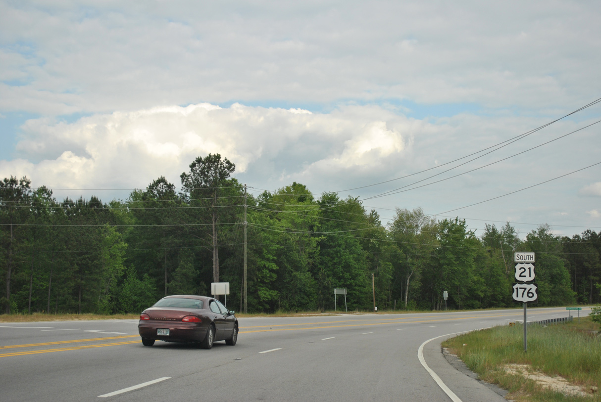
04/15/12
04/15/12
04/15/12
04/15/12
10/13/14
10/13/14
10/13/14
10/13/14
01/03/14
01/03/14
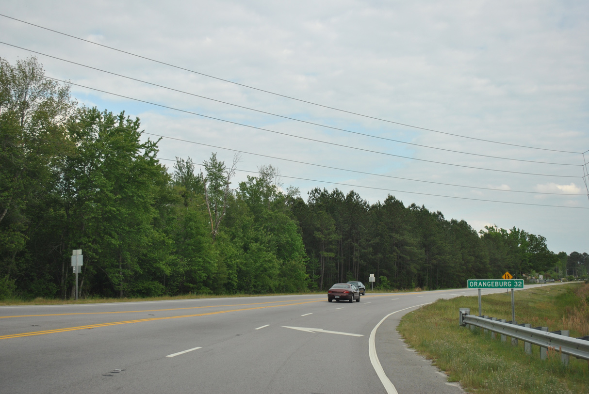
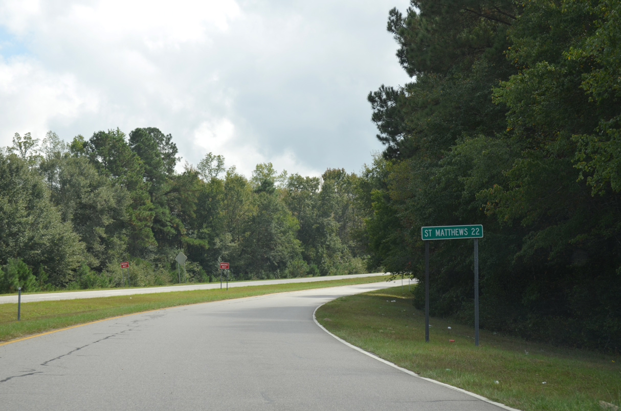
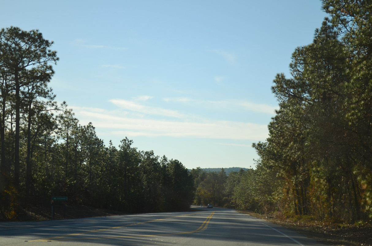
U.S. 21/176 (Old State Road) bee line southeast from Livingston Road (Road 41) toward Sandy Run. The Tall Pines subdivision was added along the west side of this stretch in 2018.
10/13/14
10/13/14
10/13/14
10/13/14
10/13/14

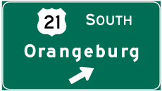
Photo Credits:
- ABRoads: 10/03/10, 04/14/12, 04/15/12, 01/03/14, 11/21/21
- Carter Buchanan: 04/10/16
- Alex Nitzman: 10/13/14
Connect with:
Page Updated Thursday December 30, 2021.