
U.S. 21

U.S. 21 travels 35.15 miles through Grayson and Wythe Counties in western Virginia. The route previously extended north to Cleveland, Ohio, but was truncated southward from there initially to West Virginia in 1974 and again to I-81/U.S. 52 at Exit 70 in 1979.1 All of U.S. 21 north from Wytheville to Bluefield, West Virginia ran concurrent with U.S. 52.
 North
North
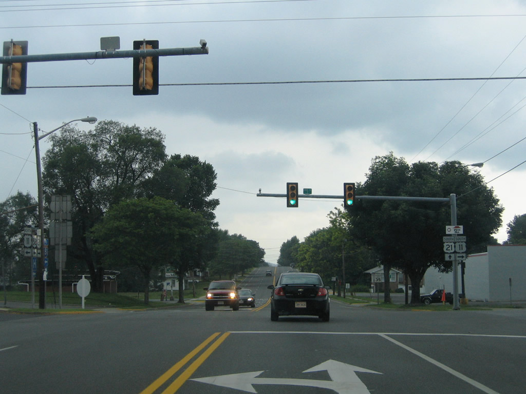
U.S. 21 travels 13 miles from Speedwell into the city of Wytheville. Once there, U.S. 21 follows West Main Street to combine with U.S. 11 south at Lee Highway / 12th Street.
07/16/05
U.S. 11 enters Wytheville from Petunia along Pine Ridge along the Lee Highway. 12th Street continues five blocks from U.S. 11/21 to Jefferson Street.
07/16/05
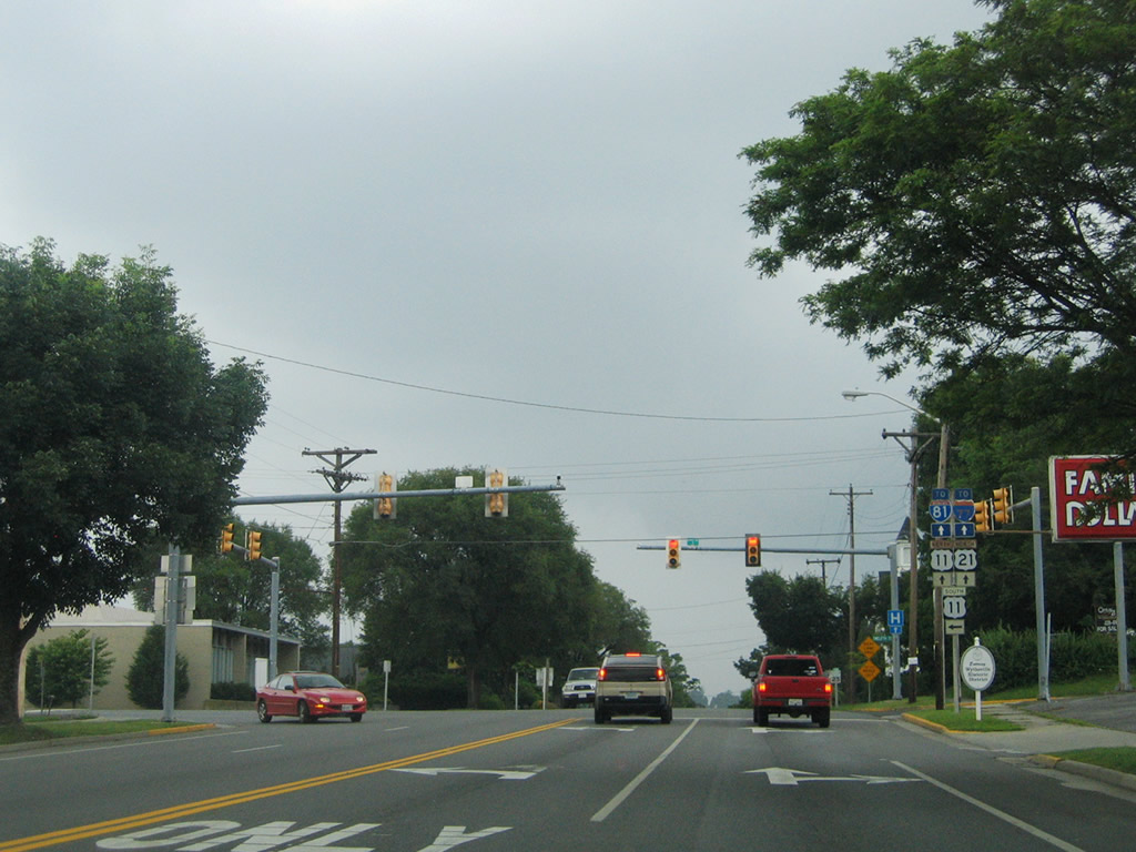
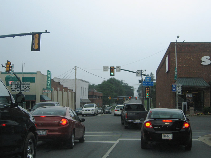
Banners remained from cutout shields for U.S. 11/21 at Lee Highway and Main Street. Trailblazers direct motorists to I-77/81 along U.S. 11 north to the freeway at Exit 73.
07/16/05
 North
North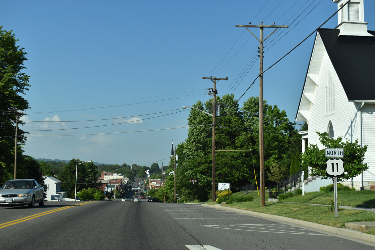
U.S. 21 is omitted from this confirming marker posted along W Main Street ahead of 10th Street.
05/26/21
Since relocated onto I-77/81 to bypass Wytheville, U.S. 52 previously followed U.S. 21 south from Crowgeys and U.S. 11 north to Fort Chiswell.
07/16/05
North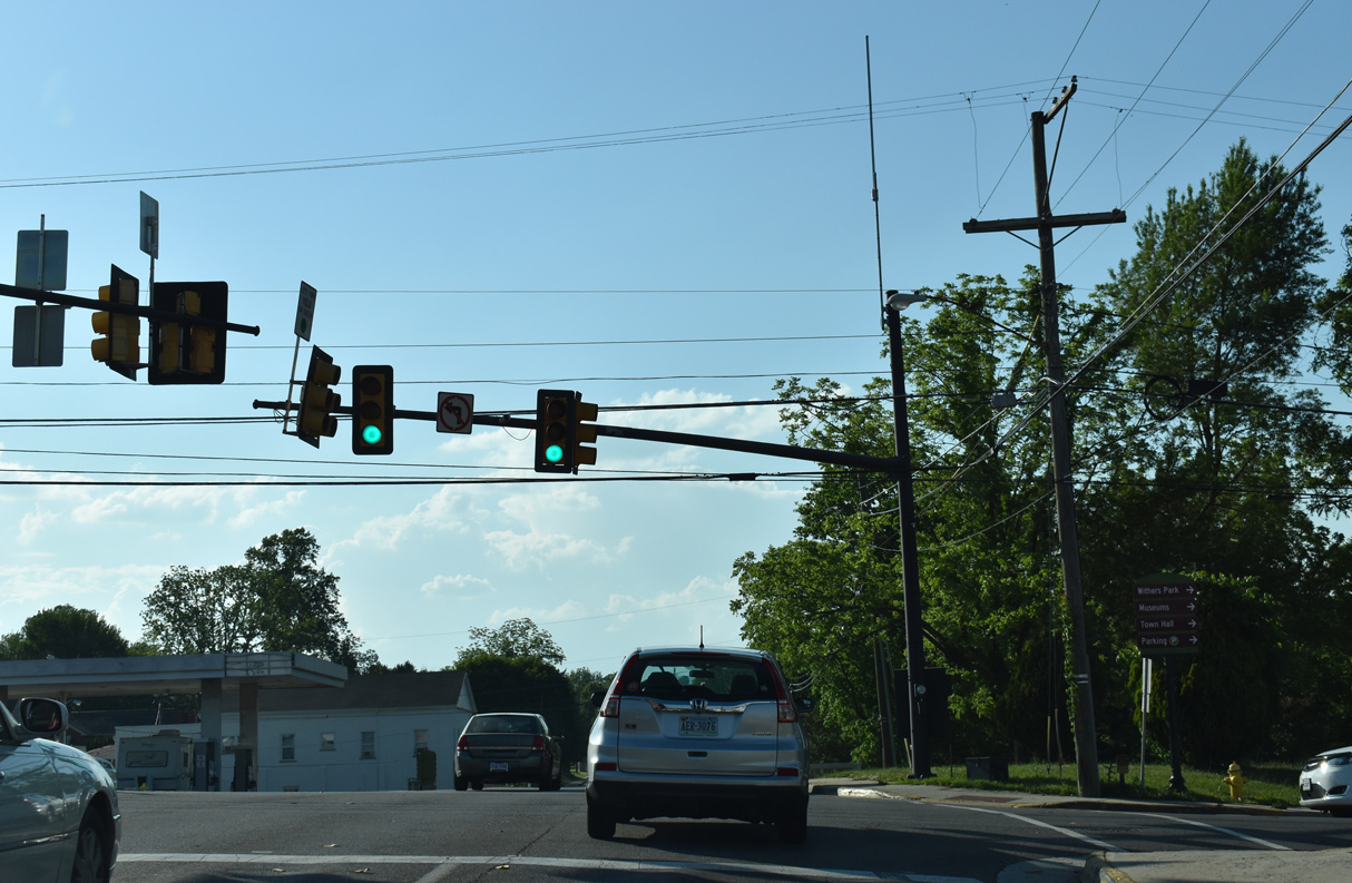
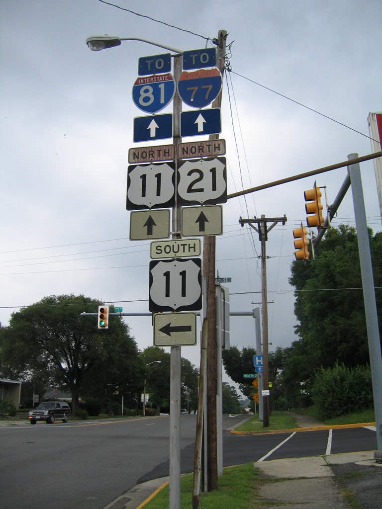
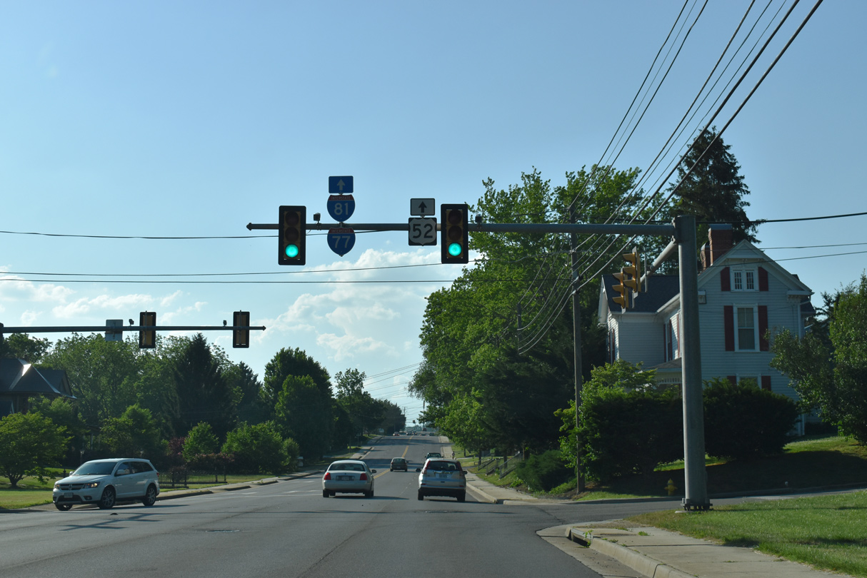
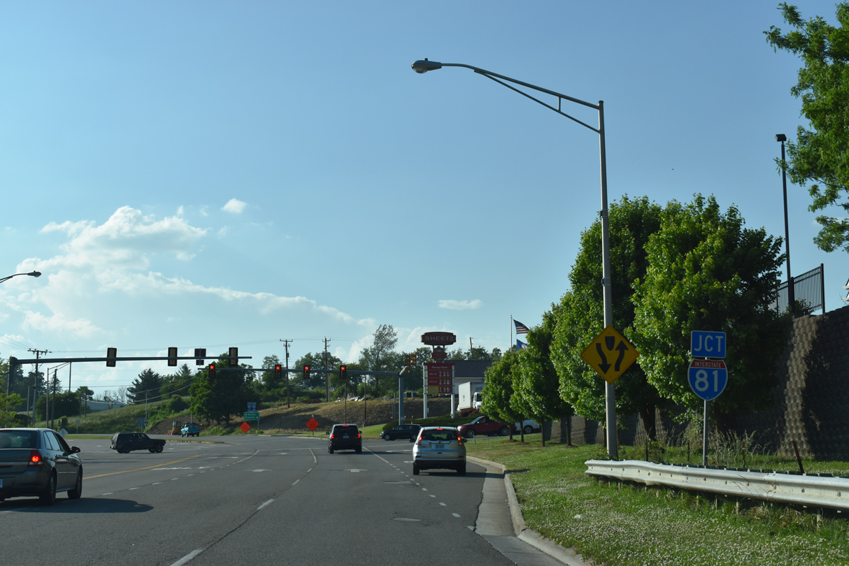
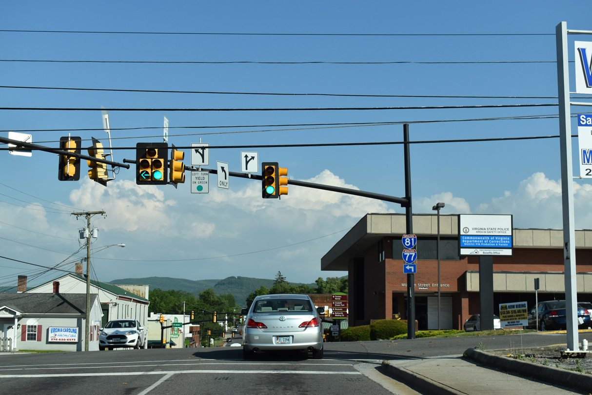
U.S. 21 advances 1.21 miles north from U.S. 11 (W Main Street) to I-81/U.S. 52 at Exit 70. The succeeding traffic light is at Monroe Street.
05/26/21
U.S. 21 (N 4th Street) runs along side Withers Park beyond Monroe Street.
07/16/05
Pine Street crosses U.S. 21 (N 4th Street) 0.38 miles northeast from U.S. 11 (Lee Highway).
05/26/21
Ridge Road crosses U.S. 21 (N 4th Street) at a traffic light west of Fisher Road. The major collector continues along Pine Ridge to become SR 710 en route to SR 656 near Petunia.
05/26/21

Trailblazers reference U.S. 52 along U.S. 21 north after Ridge Road. U.S. 52 combines with I-81 and I-71 east from Crowgeys and leads north from U.S. 21 to Favonia and Little Walker Mountain.
05/26/21
Wytheville Commons, a big box shopping center, lies southwest of the diamond interchange joining U.S. 21 with I-81. The traffic light with Commonwealth Drive connects N 4th Street with Tazewell Street south back into the Wytheville street grid.
05/26/21
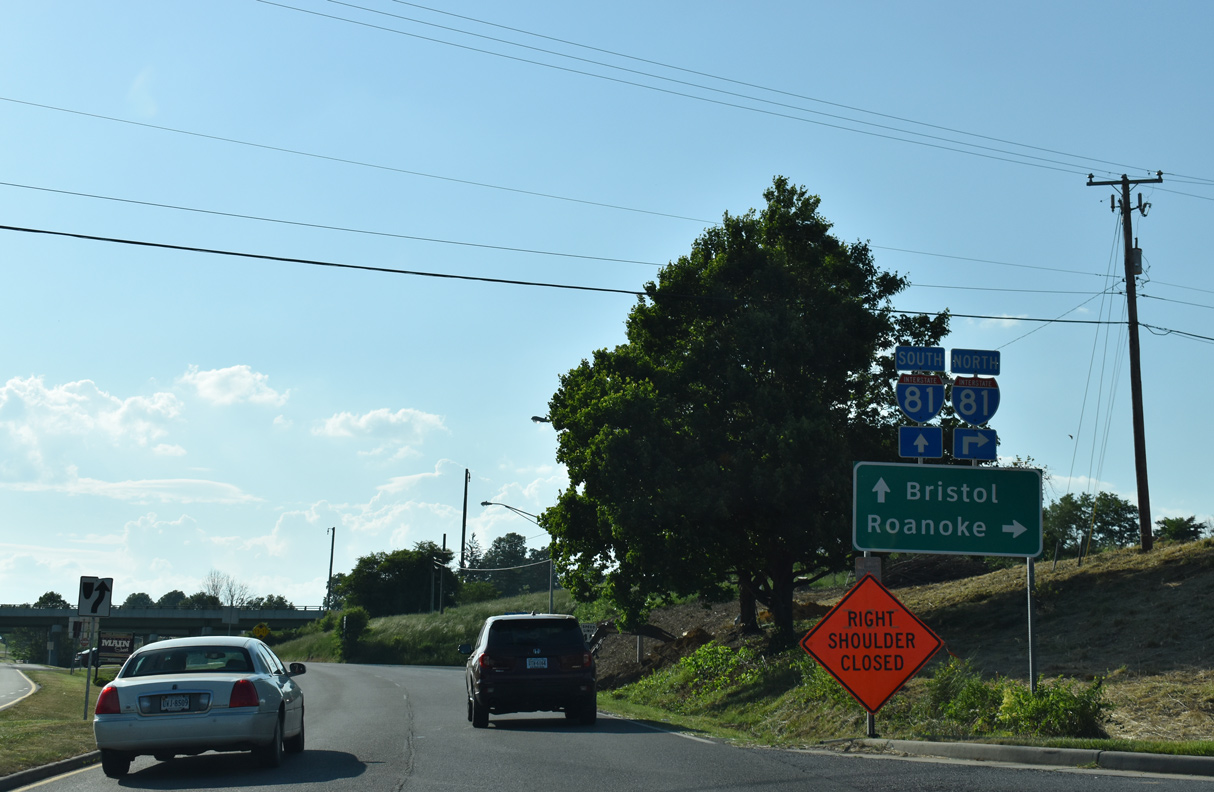
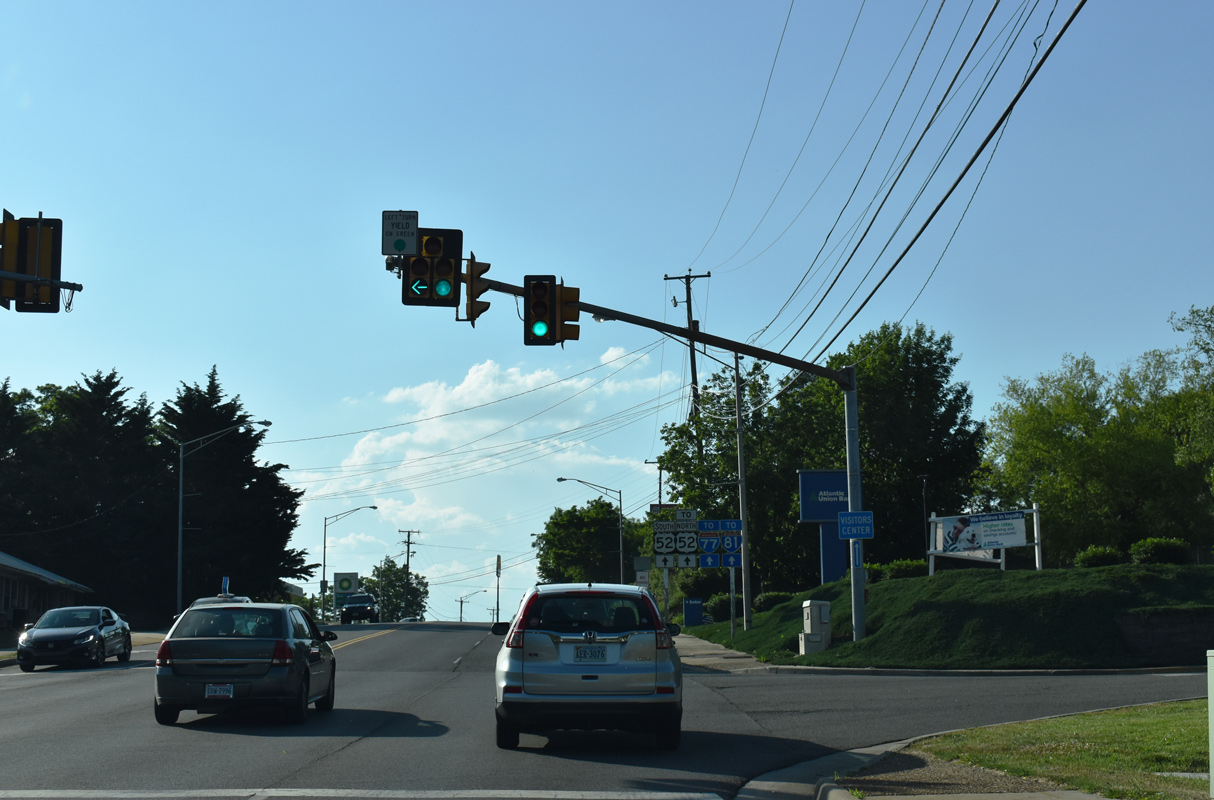
I-81/U.S. 52 combine with I-77 east of U.S. 21 at a nearby trumpet interchange.
05/26/21
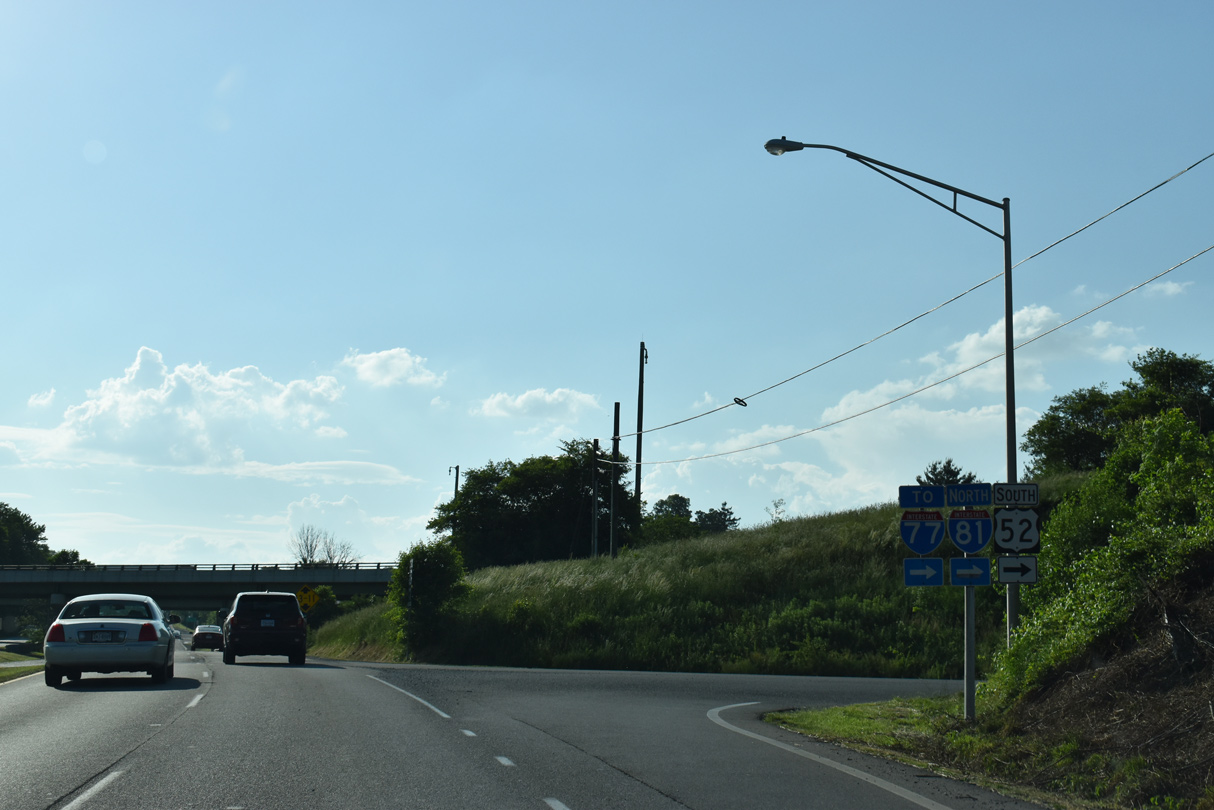
U.S. 52 joins Interstate 81 north between Exits 70 and 80. The two split at Fort Chiswell. Both continue south to Hillsville and Statesville, North Carolina.
05/26/21
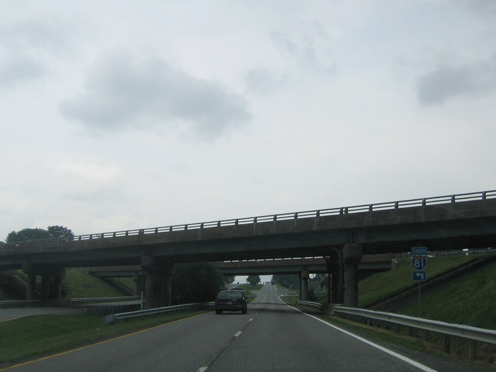
U.S. 21 ends at the exchange with I-81/U.S. 52 at Crowgeys.
07/16/05
South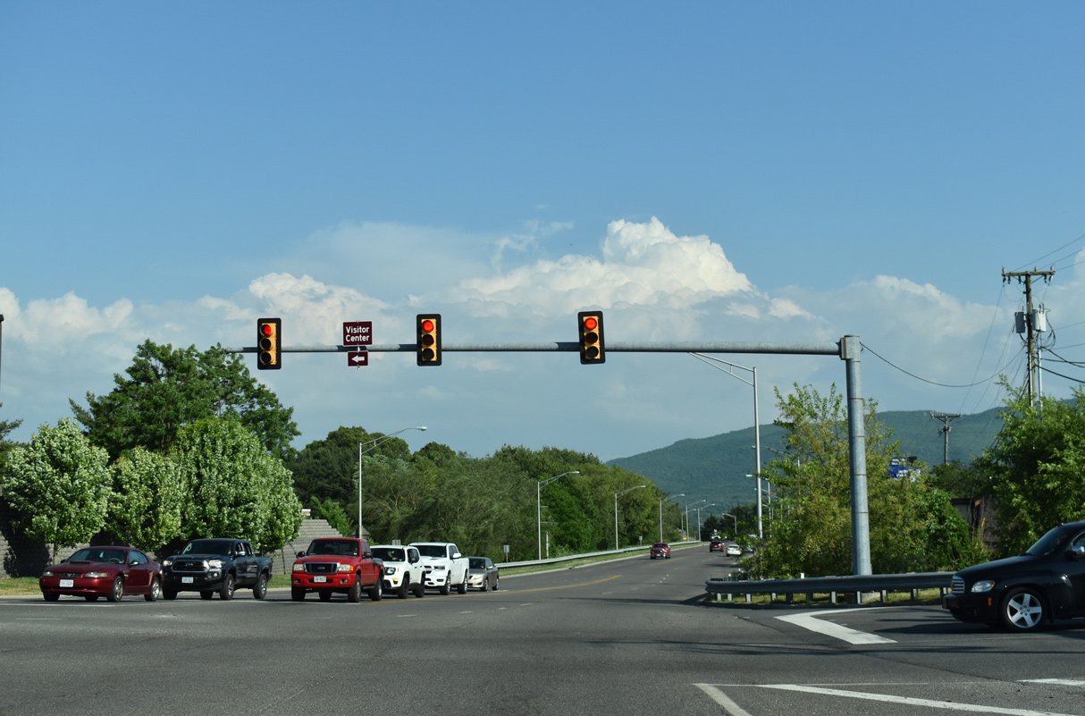
U.S. 21 (N 4th Street) intersects Commonwealth Drive to the Wytheville Commons retail complex and Tazewell Street south to the Wytheville Town Visitors Center.
05/26/21
U.S. 21 (N 4th Street) proceeds south from Virginia Avenue into the Wytheville street grid.
05/26/21
N 4th Street at Ridge Road.
05/26/21
Pine Street is a major collector south 0.38 miles to U.S. 11 (Lee Highway) and north 0.44 miles to Fisher Road.
05/26/21
U.S. 21 (N 4th Street) south at Monroe Street and Downtown Wytheville.
05/26/21
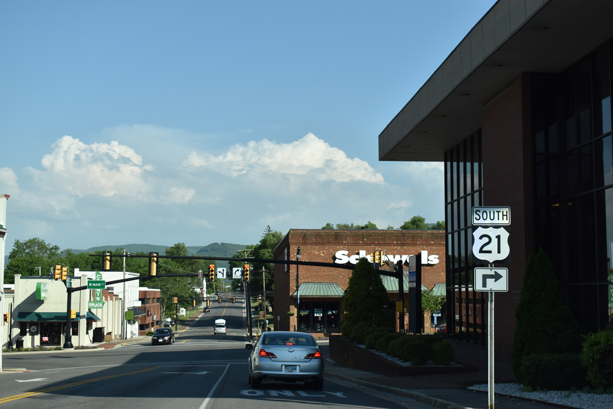
U.S. 21 turns from N 4th Street onto W Main Street, joining U.S. 11 for a four block overlap.
05/26/21
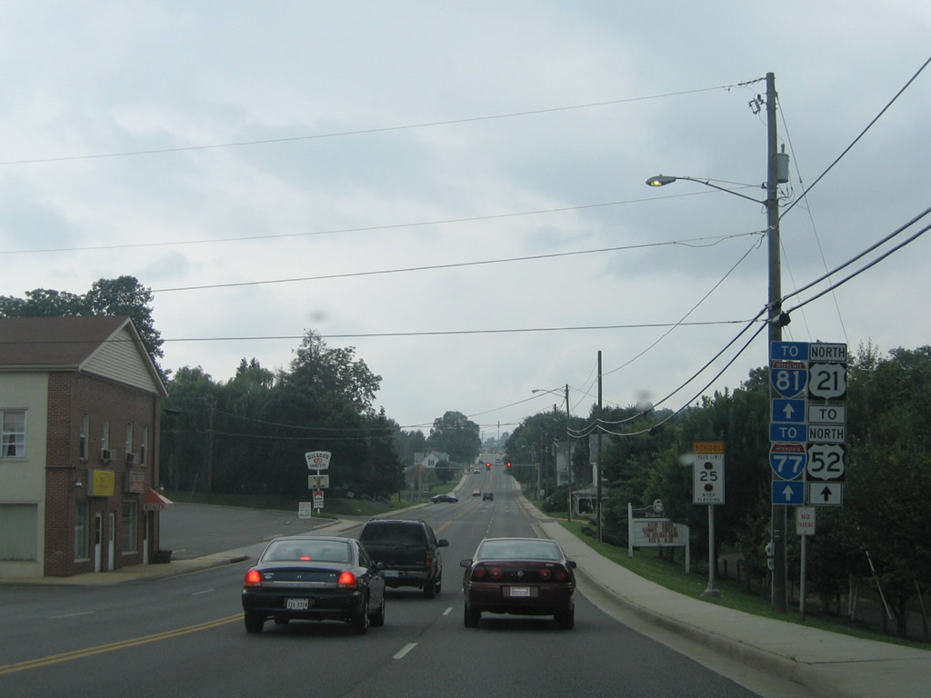
U.S. 11 north follows Main Street directly to I-77-81/U.S. 52 at a trumpet interchange (Exit 73). S 4th Street continues to Railroad Avenue and Marshall Street.
07/16/05
South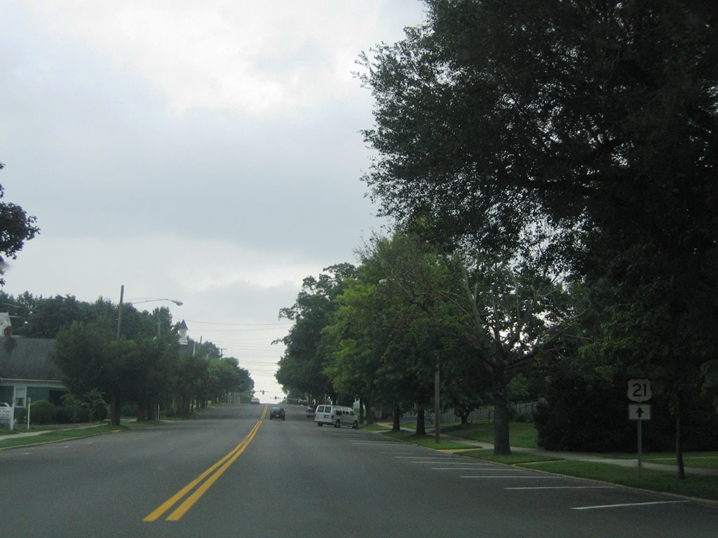
A trailblazer for U.S. 21 stands between 6th and 8th Streets. Numbered streets west of Church Street in Wytheville use only even numbers.
07/16/05
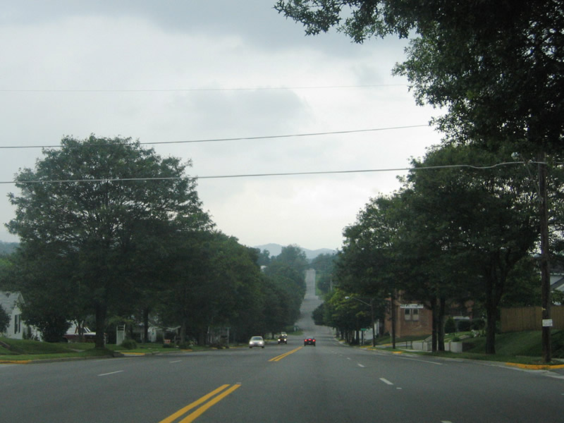
U.S. 11 north turns onto Lee Highway at 12th Street. U.S. 21 remains south on Main Street to Grayson Road en route to Sand and Stuart Mountains.
07/16/05
South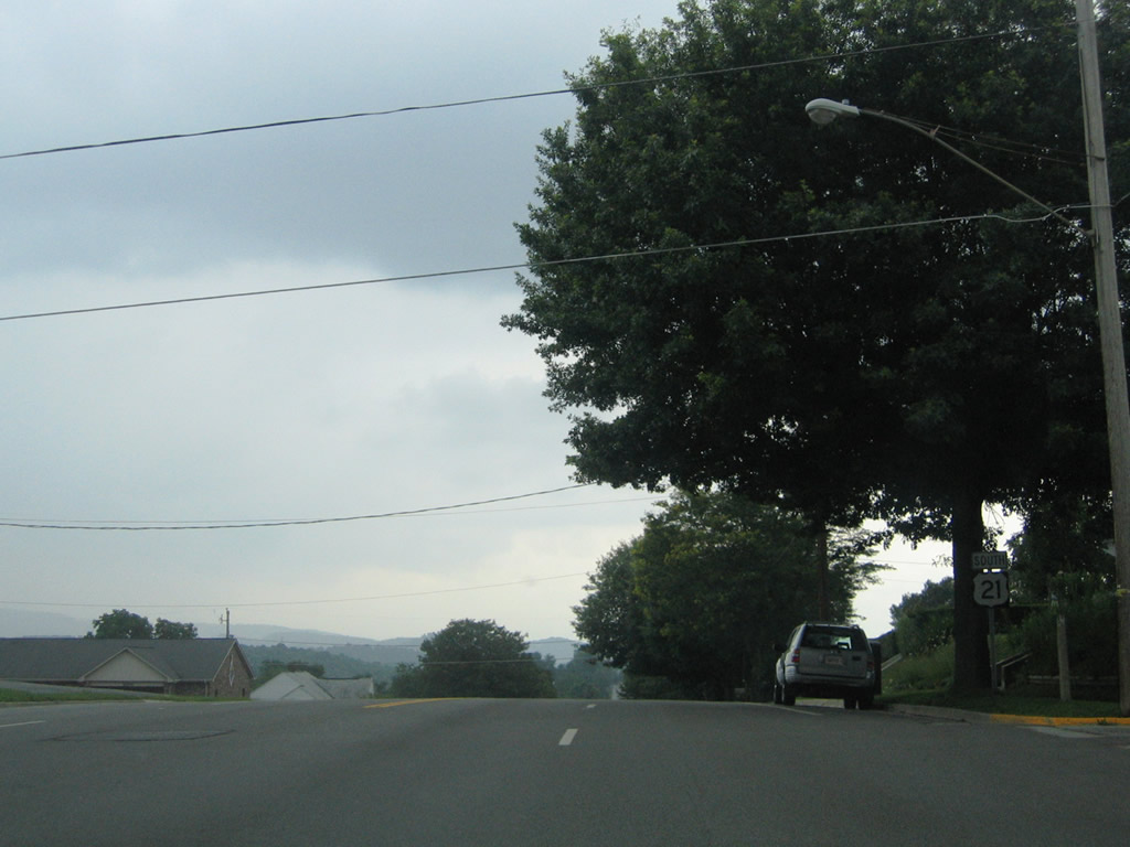
The reassurance marker for U.S. 21 south at W Main Street and 18th Street was replaced with an assembly at 20th Street.
07/16/05
Maintaining four overall lanes, U.S. 21 turns from W Main Street onto Grayson Road beyond 24th Street.
07/16/05
 South
South
U.S. 21/221 (Independence Avenue) combine from Independence southward to Twin Oaks, North Carolina. Continuing south from Library Street, U.S. 21/221 follow New River Parkway. Sparta lies ten miles to the south beyond their split.
06/17/05
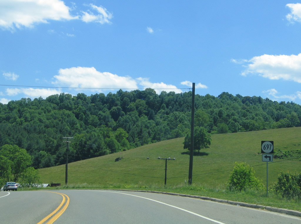
SR 697 (Beaverdam Road) stems southeast from U.S. 21/221 (New River Parkway) along Beaverdam Creek to a rural area adjacent to the New River.
06/17/05
References:
- US 21. Virginia Highways Page.
Photo Credits:
- Alex Nitzman: 06/17/05, 07/16/05
- Brent Ivy: 05/26/21
Connect with:
Page Updated Monday August 09, 2021.