
U.S. 23 South


U.S. 223 combines with U.S. 23 from Blissfield to the west. The two overlap 5.10 miles south to the Ohio state line.
09/02/05

U.S. 23/223 continue south to a diamond interchange (Exit 3) with Consear Road. Consear Road east to Secor Road connects with Temperance Road east to the census designated place of Temperance.
09/02/05
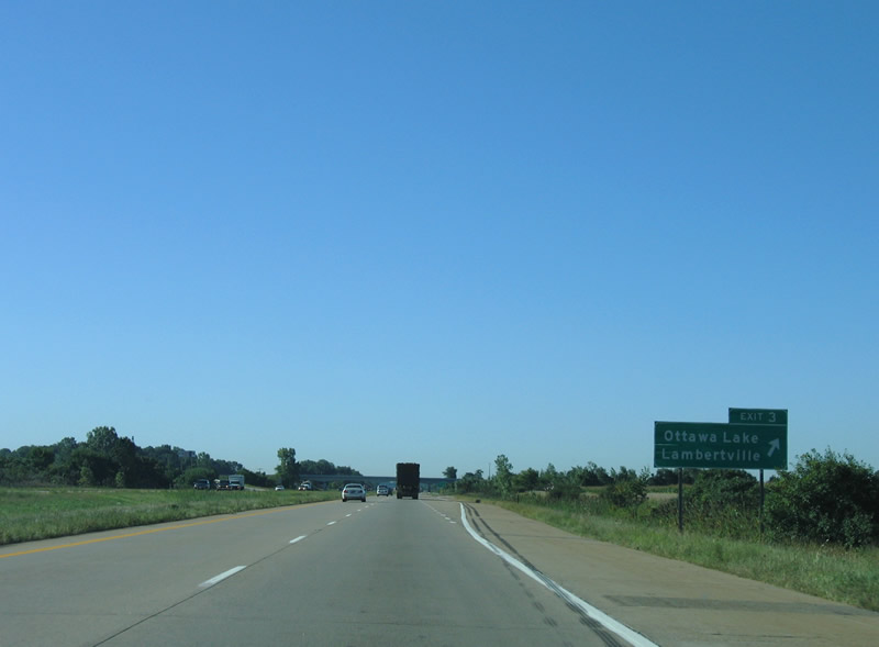
Exit 3 departs U.S. 23/223 south for Consear Road west 1.5 miles to Head O Lake Road. Head O Lake Road south to Beck Road west leads to the unincorporated community of Ottawa Lake.
09/02/05
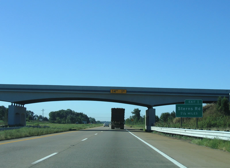
U.S. 23/223 advance 1.25 miles south through Whiteford Township from Consear Road to a diamond interchange (Exit 1) with Sterns Road.
09/02/05
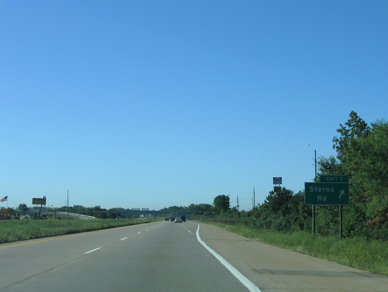
Sterns Road leads 3.5 miles west to the Lenawee County line at County Line Road and 11 miles east to Lambertville and Summit Road near Interstate 75 at Exit 2.
09/02/05
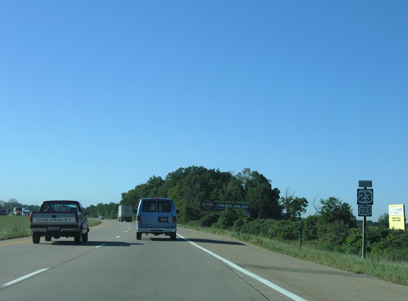
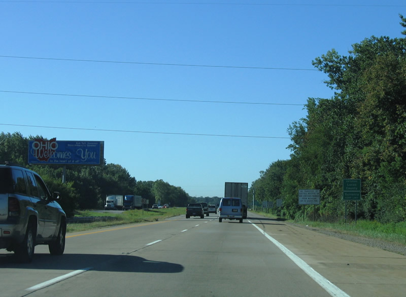
The final reassurance marker for U.S. 223 appears with U.S. 23 south precedes North Tenmile Creek. U.S. 223 is unsigned in Ohio with the exception of an end shield posted along the exit ramp to SR 51 (Monroe Street) in Sylvania.
09/02/05
U.S. 23/223 enter Lucas County, Ohio at the city of Sylvania. The freeway continues between two residential streets to Exit 234.
09/02/05
Photo Credits:
- AARoads: 09/02/05
Connect with:
Page Updated Wednesday November 07, 2007.