
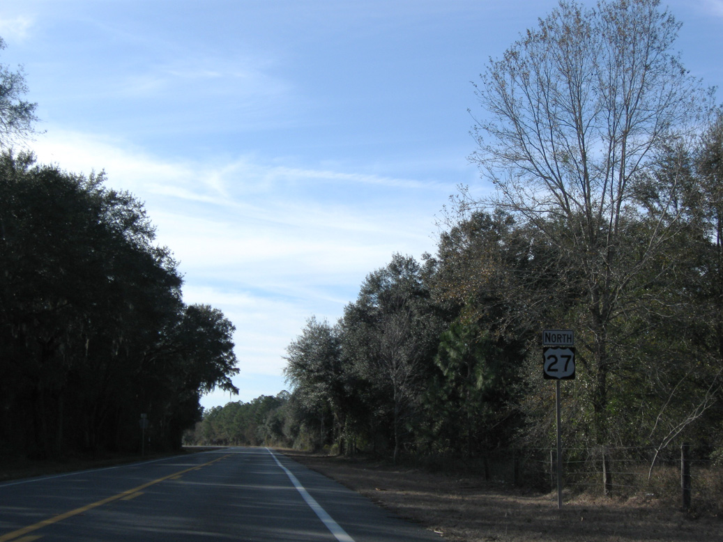
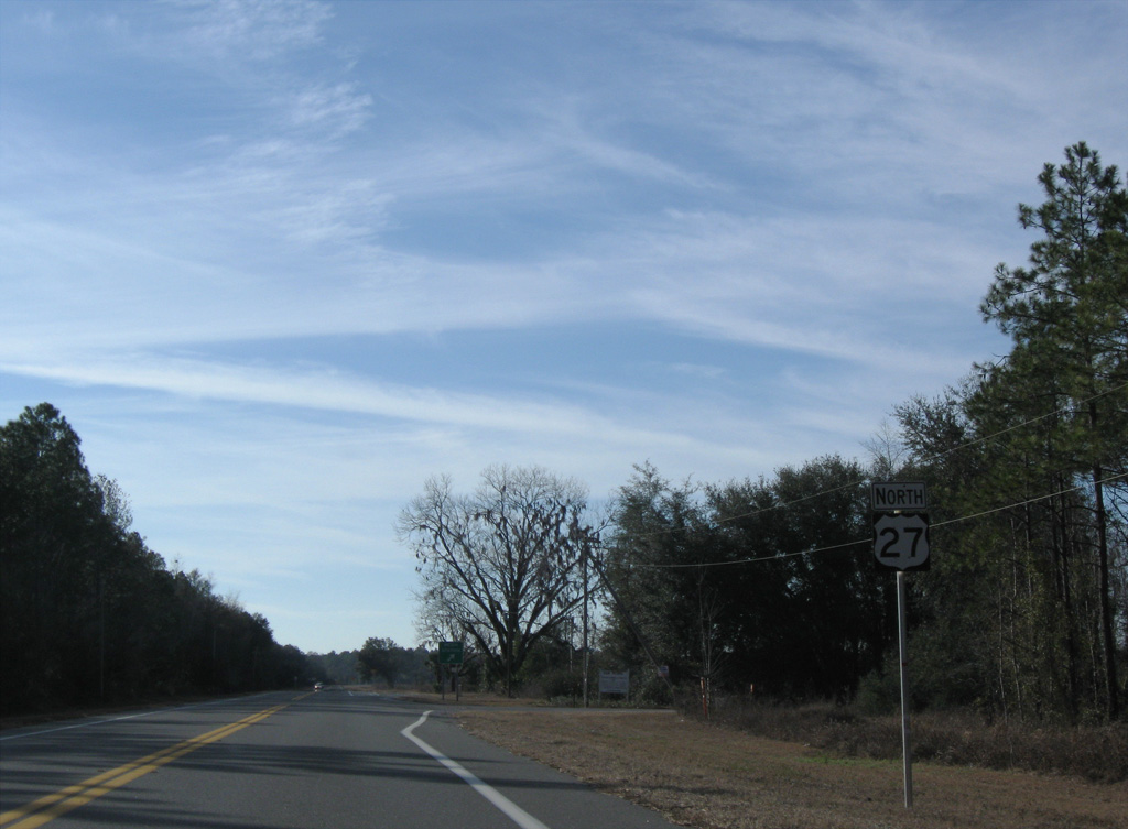
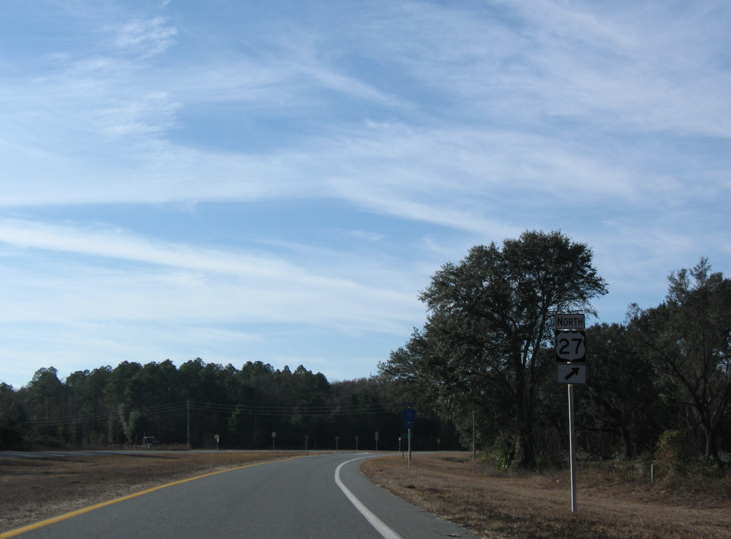
U.S. 27 North - Mayo to Perry

 North
North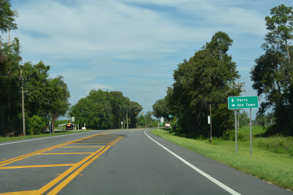
Forthcoming SR 349 is a 15.53 mile long highway traveling south to U.S. 19/98/27 ALT at Old Town.
06/30/17
06/30/17
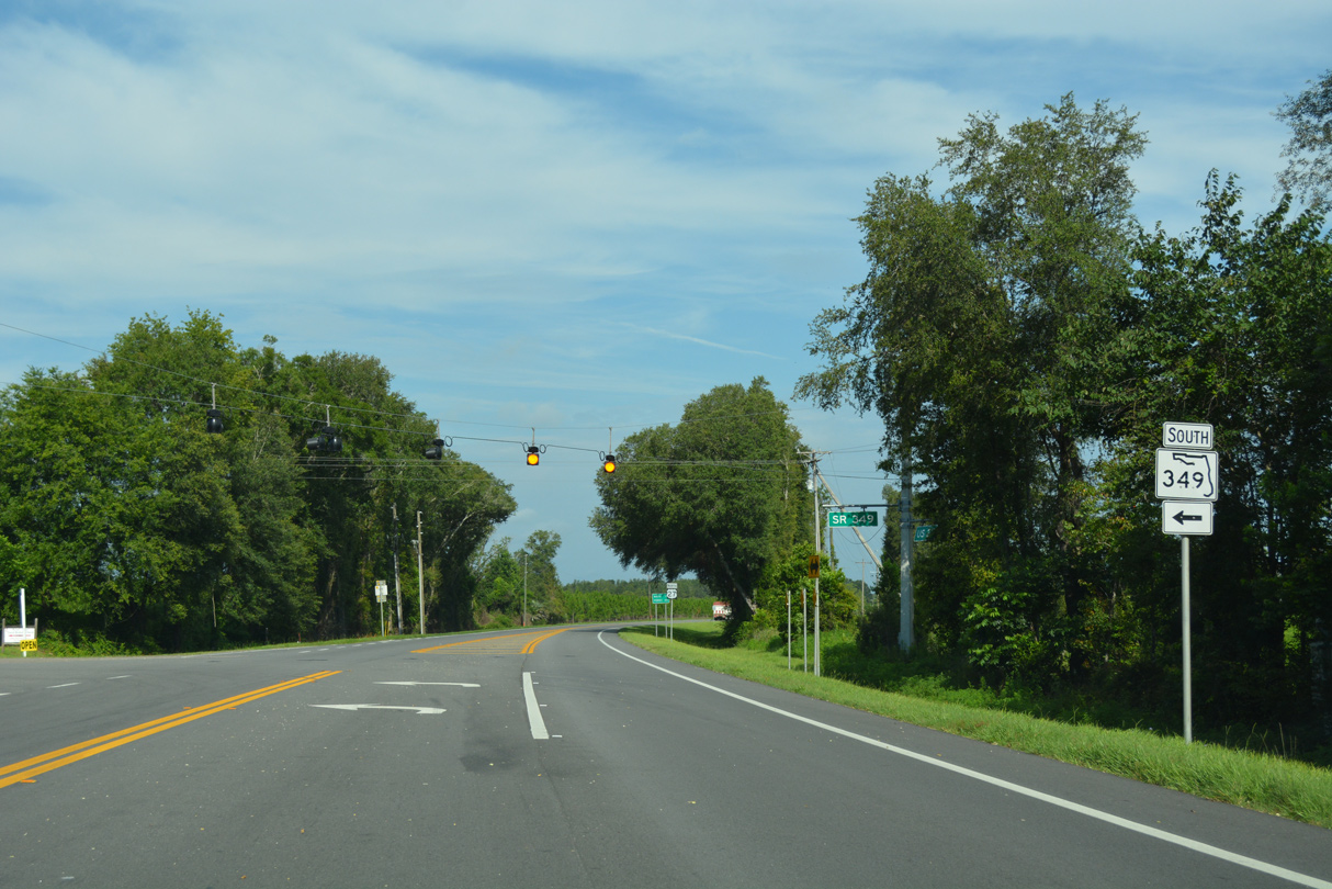
SR 349 was part of U.S. 129 south from Branford to Old Town until 1959 and U.S. 129 ALT until 1970.
06/30/17
06/30/17
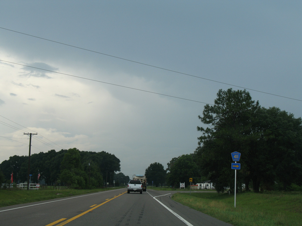
CR 411 stems 1.08 miles north from U.S. 27 to CR 410. CR 411 replaced a leg of Florida Secondary Road 251.
06/02/06
06/02/06
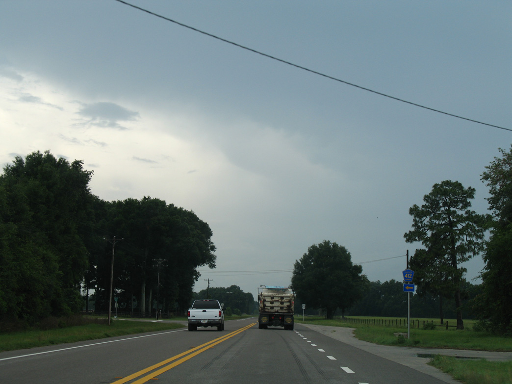
Also replacing what was Florida Secondary Road 251, CR 412 forms a 1.72 mile long rural loop west from U.S. 27.
06/02/06
06/02/06
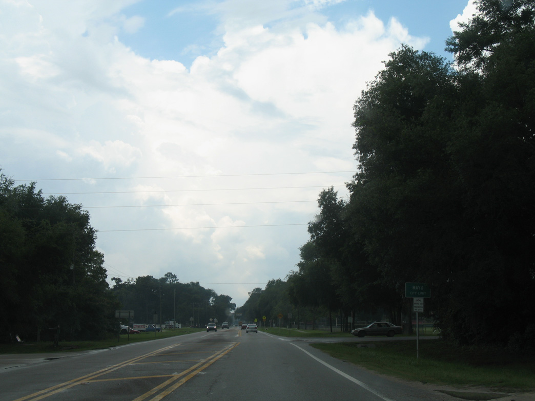
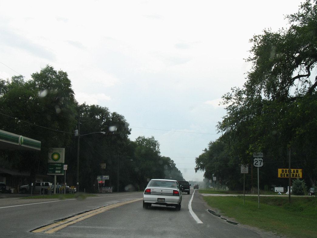
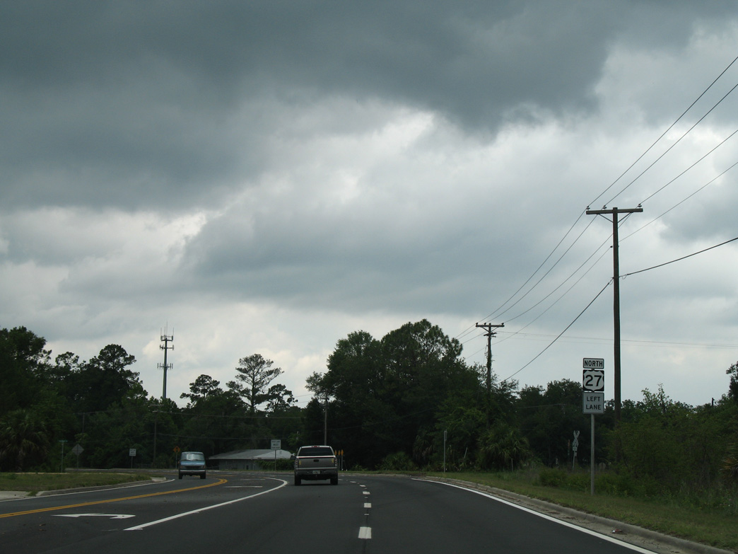
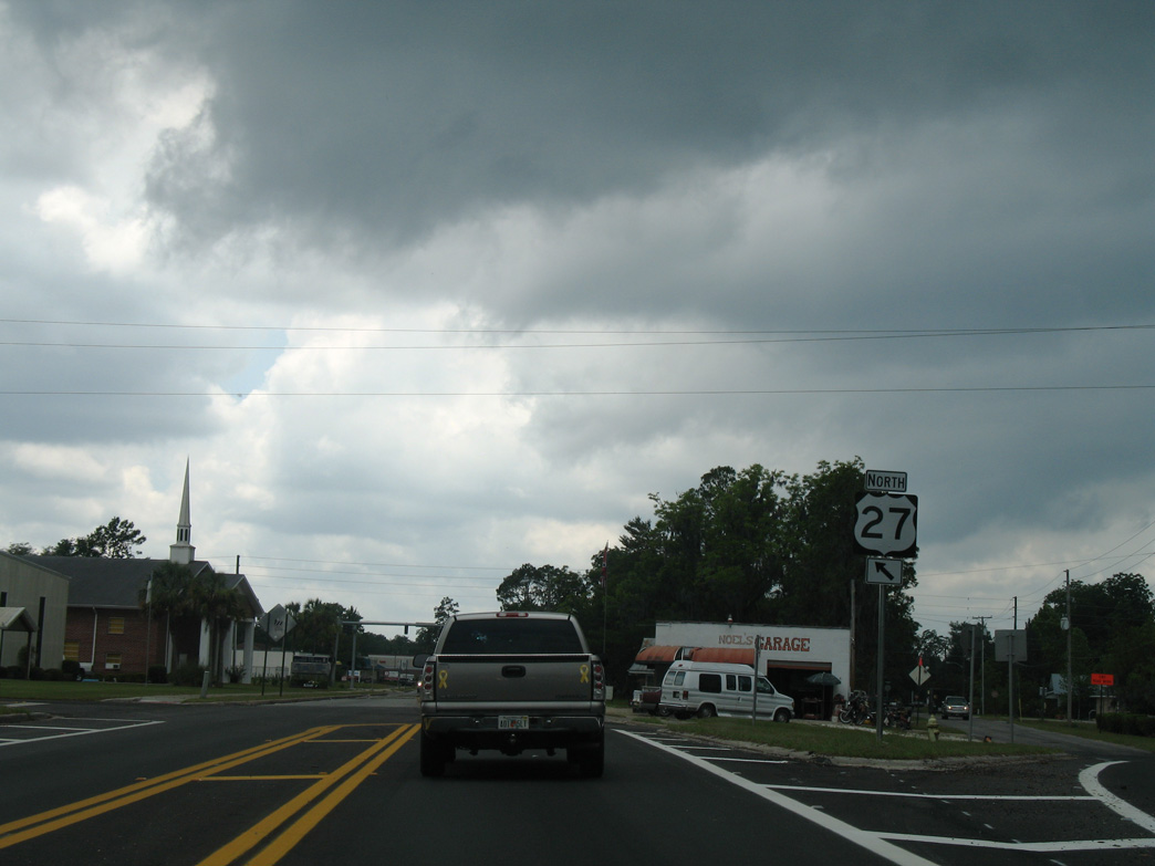
U.S. 27 enters the Lafayette County seat of Mayo along E Main Street.
06/02/06
06/02/06
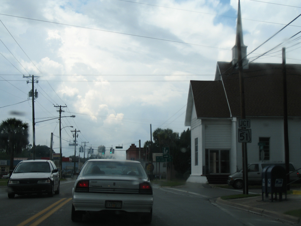
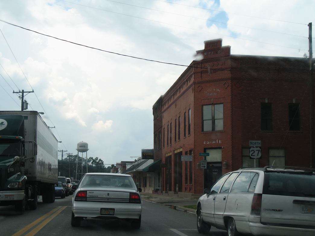
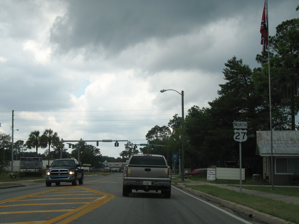
U.S. 27 (Main Street) meets SR 51 (Fletcher Avenue) in the Mayo city center.
06/02/06
06/02/06
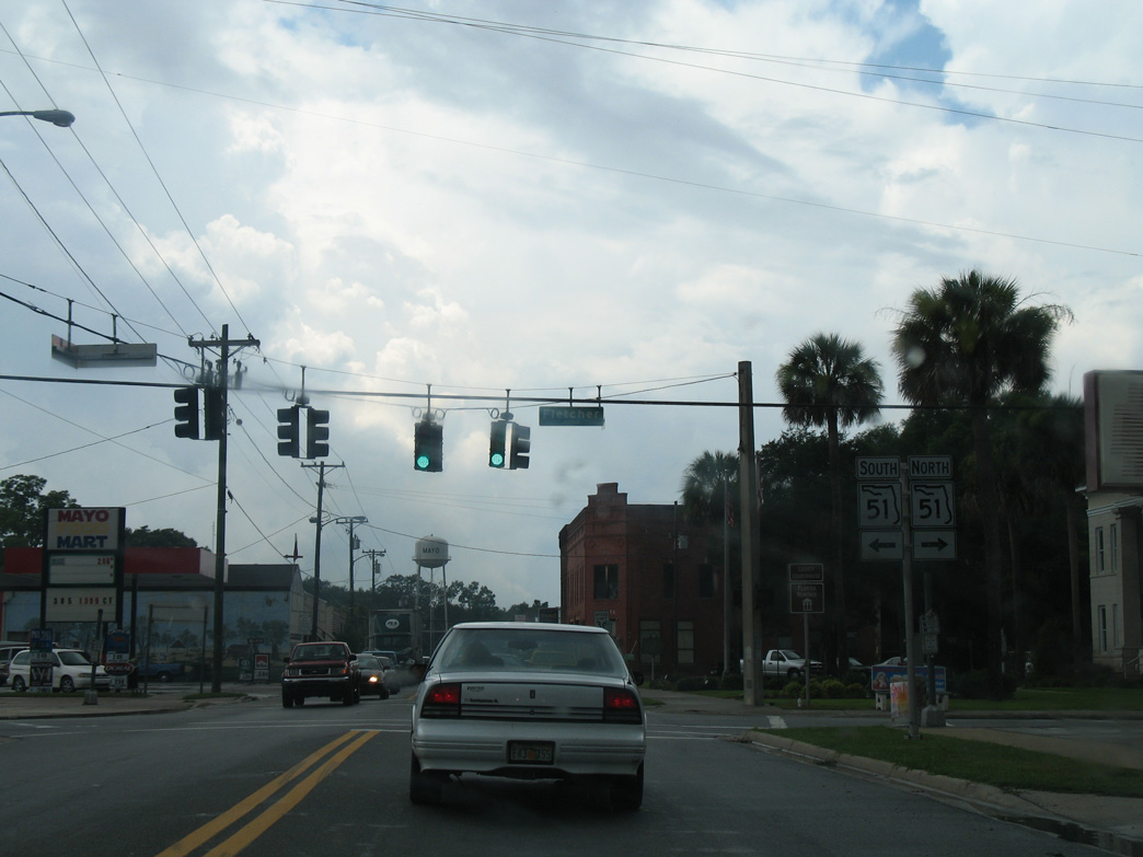
SR 51 connects Mayo with Steinhatchee along the Gulf Coast to the south and the Suwannee County seat of Live Oak to the northeast.
06/02/06
06/02/06
06/02/06
Curving northwest, U.S. 27 intersects Boxham Street east and CR 300 west ahead of this reassurance marker. Replacing Florida Secondary Road 251A, CR 300 constitutes a 3.84 mile loop west from Mayo to CR 320.
06/02/06
06/02/06
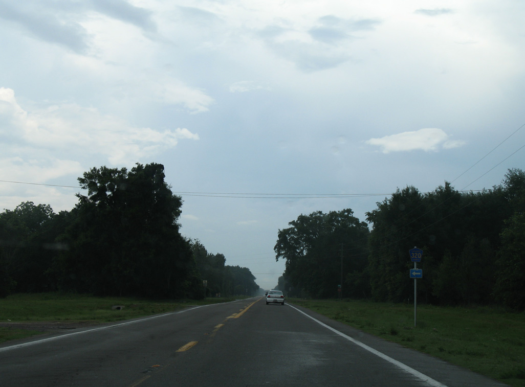
CR 320 is a 3.99 mile long loop northwest from U.S. 27 to CR 534. CR 320 replaced another branch of Florida Secondary Road 251.
06/02/06
06/02/06
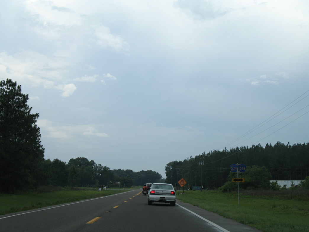
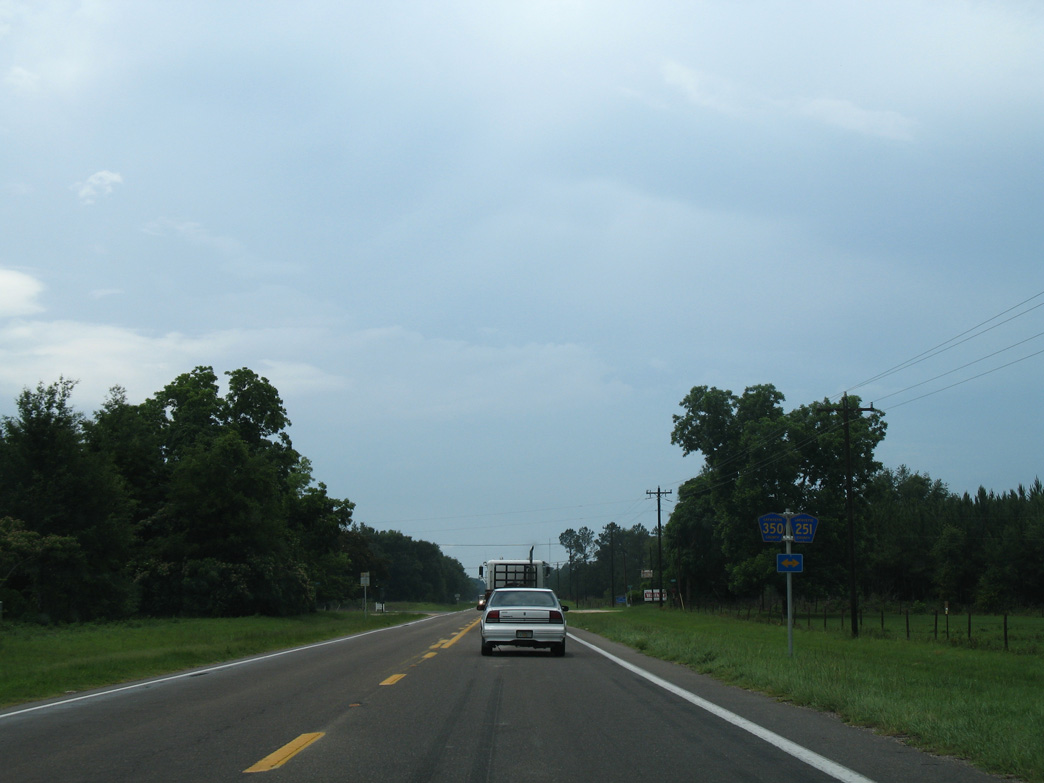
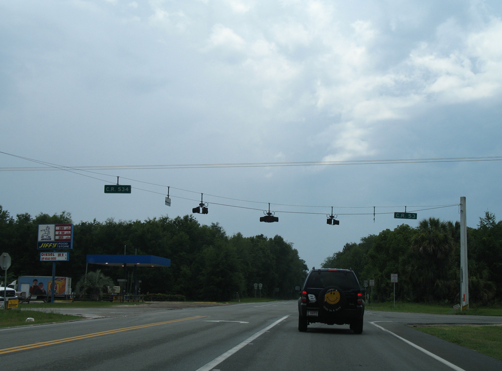
CR 536 runs 3.00 miles west from SR 51 to U.S. 27 across from CR 534. CR 534 follows an L-shaped route 7.25 miles west and north to U.S. 27 at CR 53. Both CR 536 and CR 534 were designated in place of Florida Secondary Road 53.
06/02/06
06/02/06
06/02/06
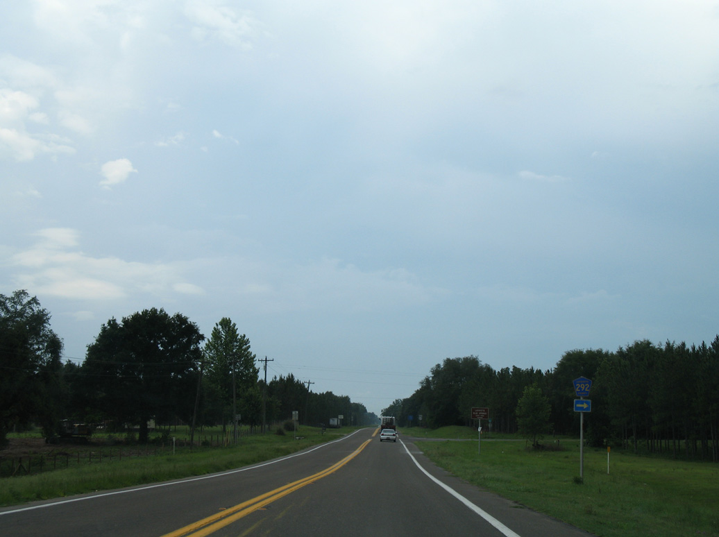
CR 292 loops 5.58 miles north from U.S. 27 to Dell and CR 251 at CR 290. CR 252 replaced Florida Secondary Road 251B.
06/02/06
06/02/06
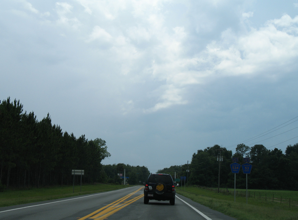
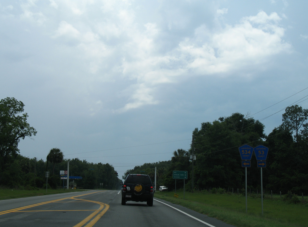
CR 251 parallels CR 53 to the east along a 9.53 mile long course from U.S. 27 north to CR 250 near Dowling Park. CR 350 extends 2.14 miles west to CR 534.
06/02/06
06/02/06
CR 534 returns to U.S. 27 north across from CR 53 at Bucksville.
06/02/06
06/02/06
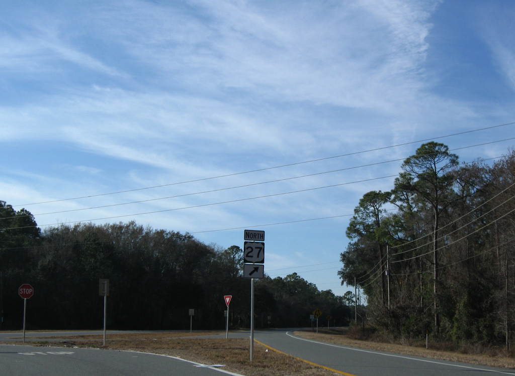
CR 53 travels 19.52 miles north to Day and SR 53 at Interstate 10. SR 53 continues the route 6.30 miles northwest into Madison.
06/02/06
06/02/06
06/02/06
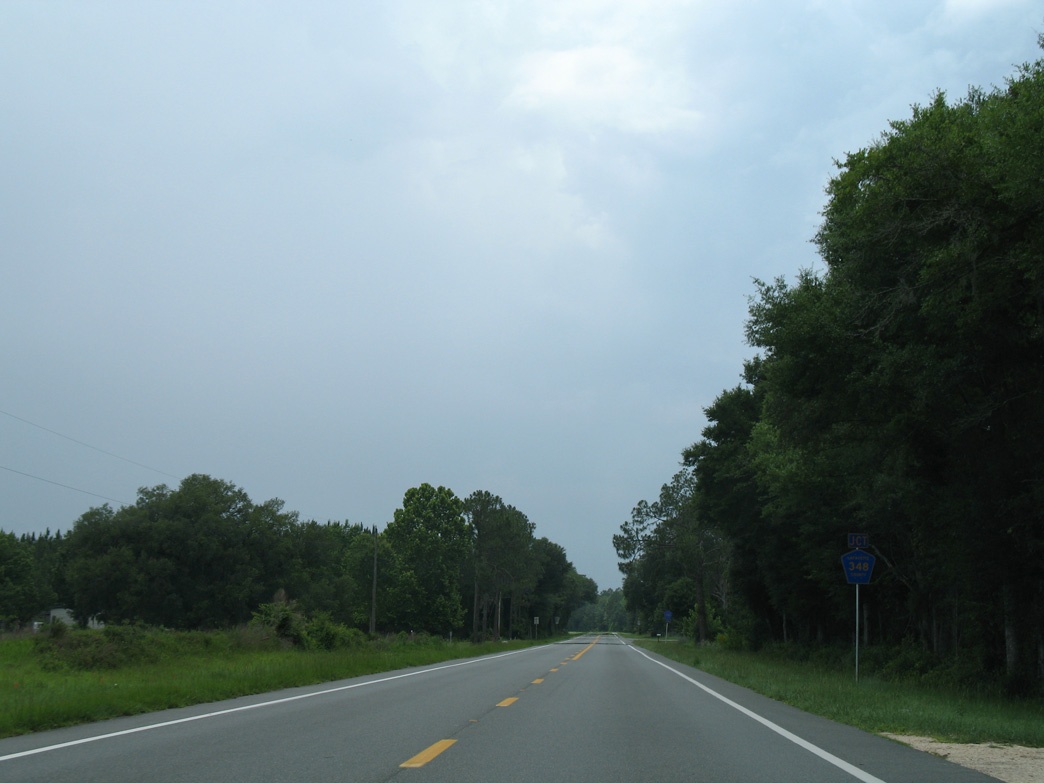
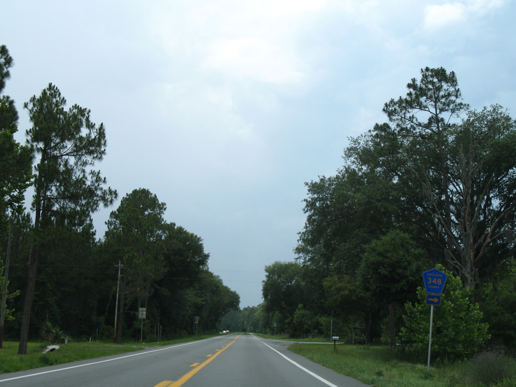
CR 348 arcs 4.28 miles from U.S. 27 at Townsend to CR 53.
06/02/06
06/02/06
06/02/06
01/18/10
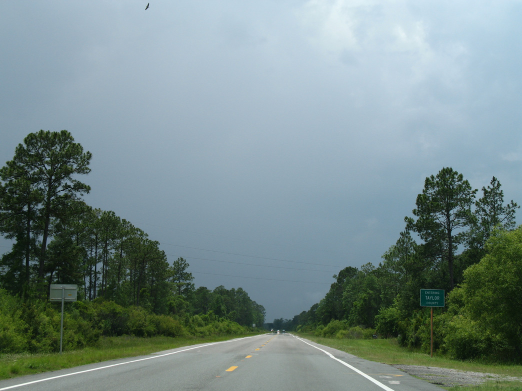
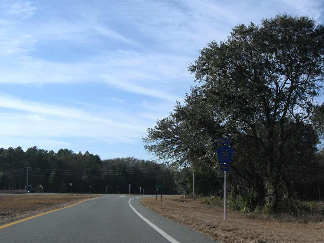
U.S. 27 crosses the Taylor County line at Tiger Bay.
06/02/06
06/02/06
06/02/06
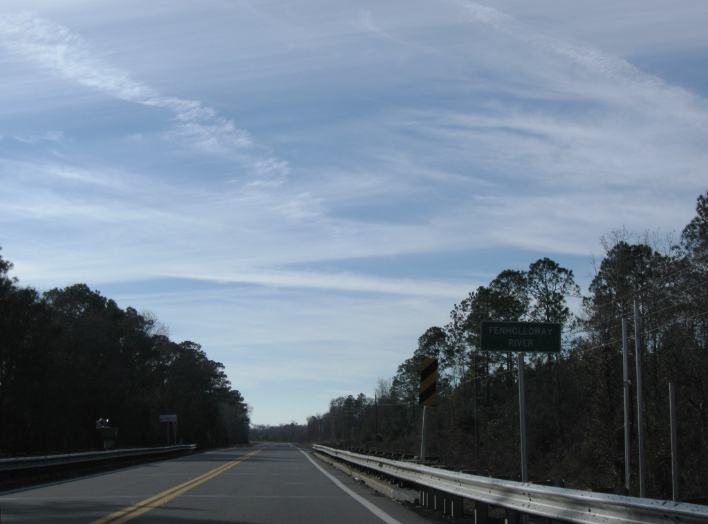
The Fenholloway River flows west from San Pedro Bay into the Gulf of MExico at Big Bend State Wildlife Management Area.
01/18/10
01/18/10
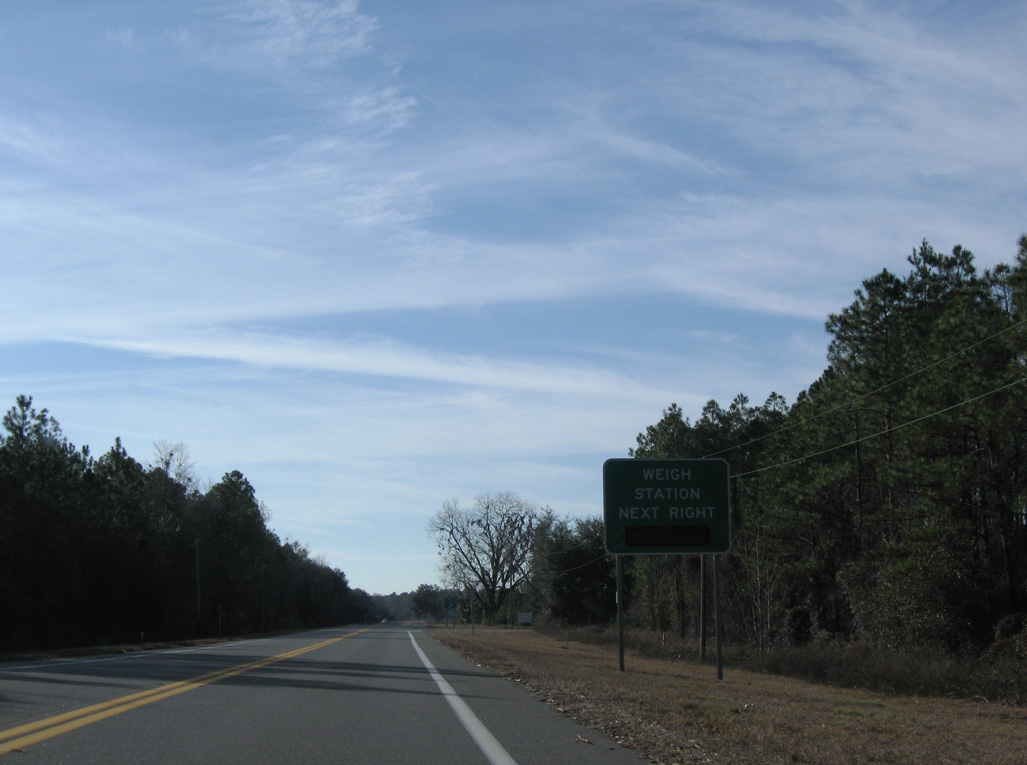
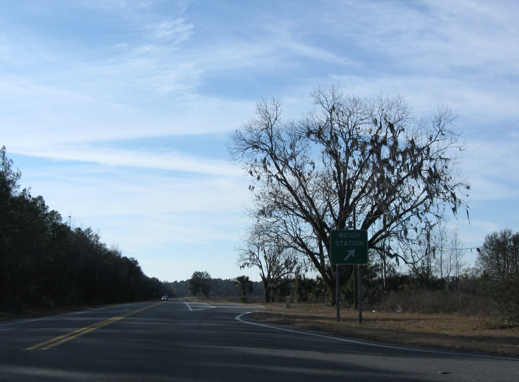
A weigh station lies just west along northbound U.S. 27 past Fenholloway Road.
01/18/10
01/18/10
San Pedro Road northwest from U.S. 27 onto E Green Street in Perry was formerly Florida Secondary Road 356.
01/18/10
01/18/10
01/18/10
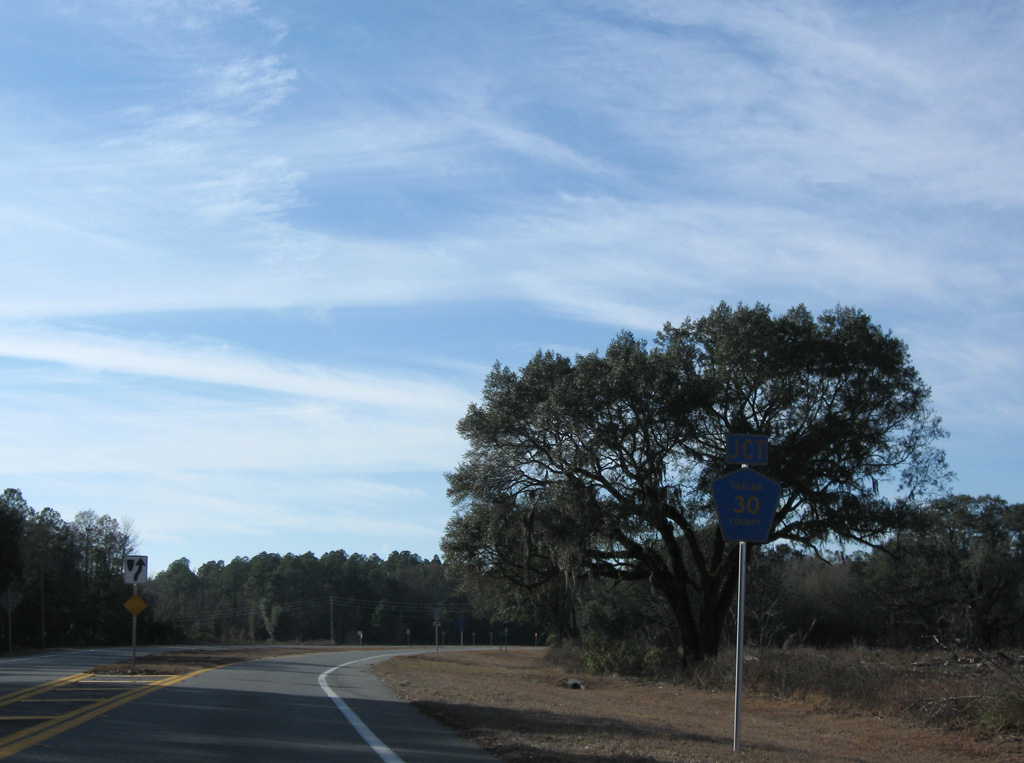
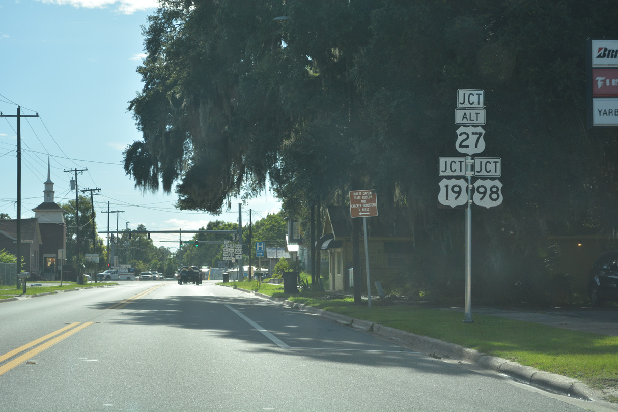
CR 30 (Foley Road) branches 2.65 miles west from U.S. 27 to U.S. 19/98/27 ALT at Carlton Cemetery Road (CR 2132).
01/18/10
01/18/10
U.S. 27 angles northwest from CR 30 to the Perry city limits.
01/18/10
01/18/10
CR 30 is disconnected with SR 30, the unsigned counterpart of U.S. 98 west from Perry. Foley Road is named after the nearby Foley Papermill.
01/18/10
01/18/10
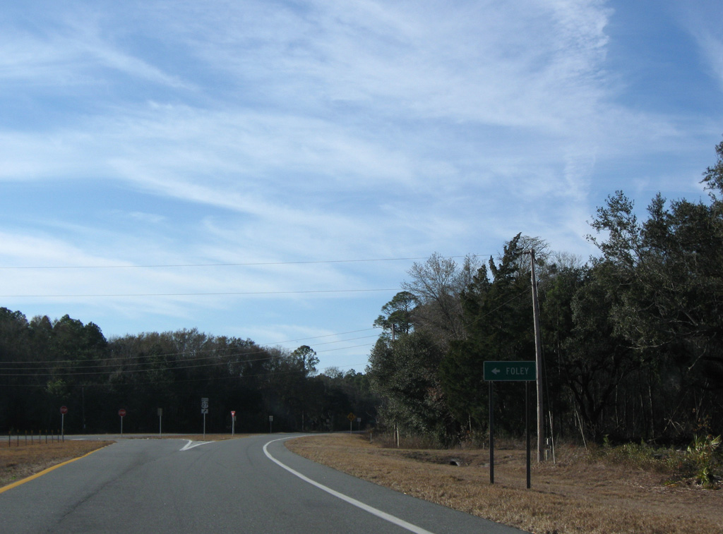
Foley Road is named after nearby Foley, where the Foley Papermill is located.
01/18/10
01/18/10
01/18/10
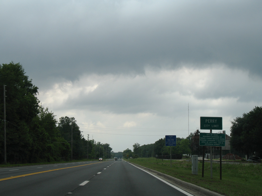
U.S. 27 enters the Perry city limits northwest of Plantation Road (CR 2130).
06/02/06
06/02/06
Diverging from the parallel Georgia & Florida Company Railroad, U.S. 27 curves west into the Perry street grid at Maurice Linton Road.
06/02/06
06/02/06
Maurice Linton Road separates from U.S. 27 where the route shifts southward onto Hampton Springs Avenue.
06/02/06
06/02/06
06/02/06
06/02/06
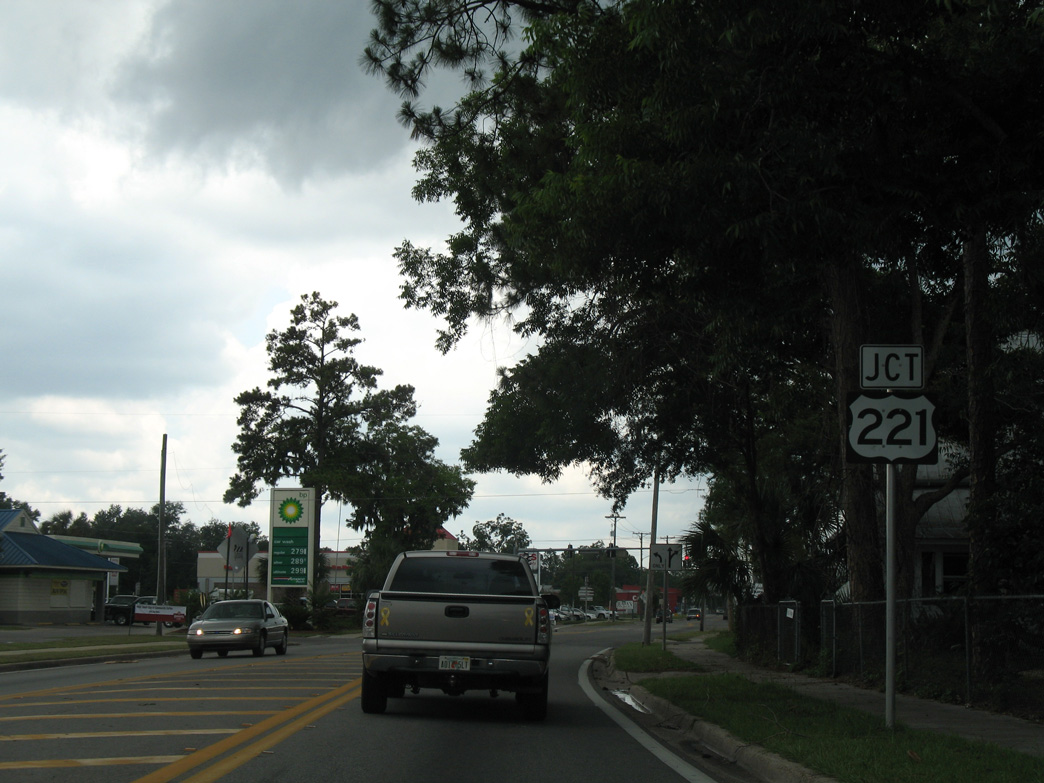
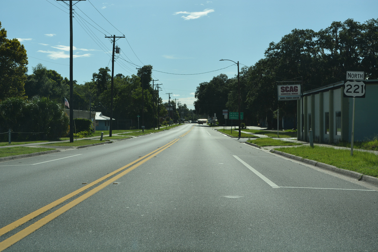
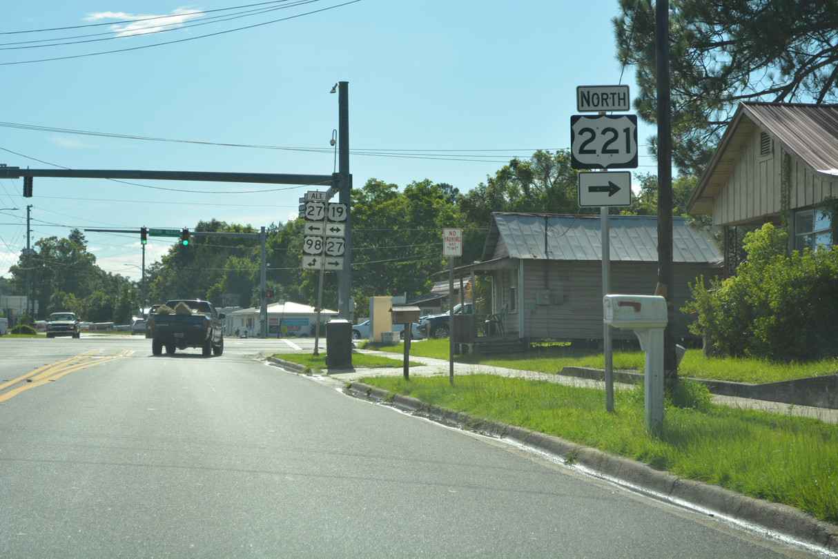
Beginning at U.S. 19/98/27 ALT and CR 361A along Jefferson Street, U.S. 221 heads 0.91 miles north to U.S. 27 (Hampton Springs Avenue).
06/02/06
06/02/06
U.S. 221 was realigned to bypass Downtown Perry when Jefferson Street north of U.S. 27 was relinquished to the city of Perry. Sign changes were made relocating U.S. 221 onto overlaps with U.S. 27 west and U.S. 19/27 north in 2022.
06/02/06
06/02/06
 North
North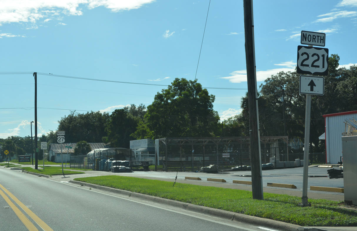
U.S. 27/221 overlap 0.42 miles west.
07/27/22
07/27/22
U.S. 27/221 (Hampton Springs Avenue) at Quincy Street.
07/27/22
07/27/22
A reassurance marker for U.S. 221 was added along Hampton Springs Avenue west of Faulkner Street in 2022.
07/27/22
07/27/22
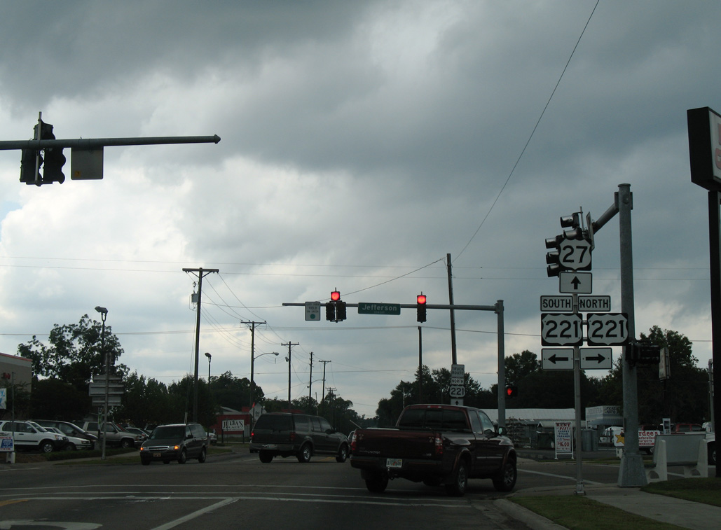
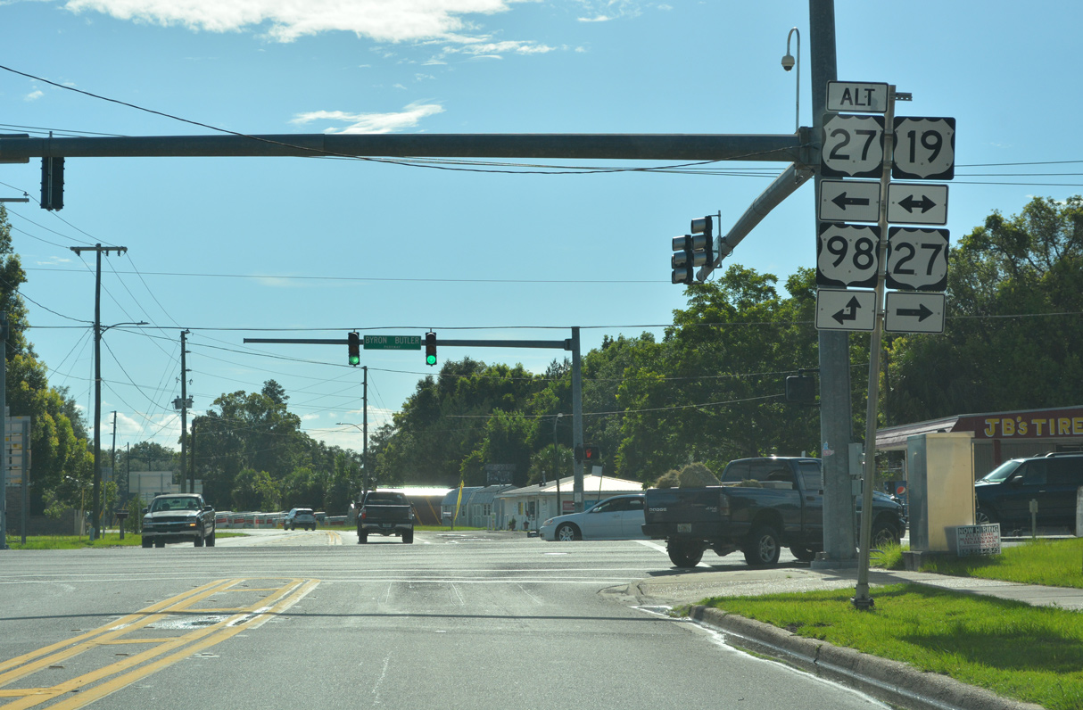
U.S. 27/221 advance west from Wilder Street to join U.S. 19 (Byron Butler Parkway) north. U.S. 27 ALT commences south along U.S. 19/98 from Hampton Springs Avenue to Chiefland.
07/27/22
07/27/22
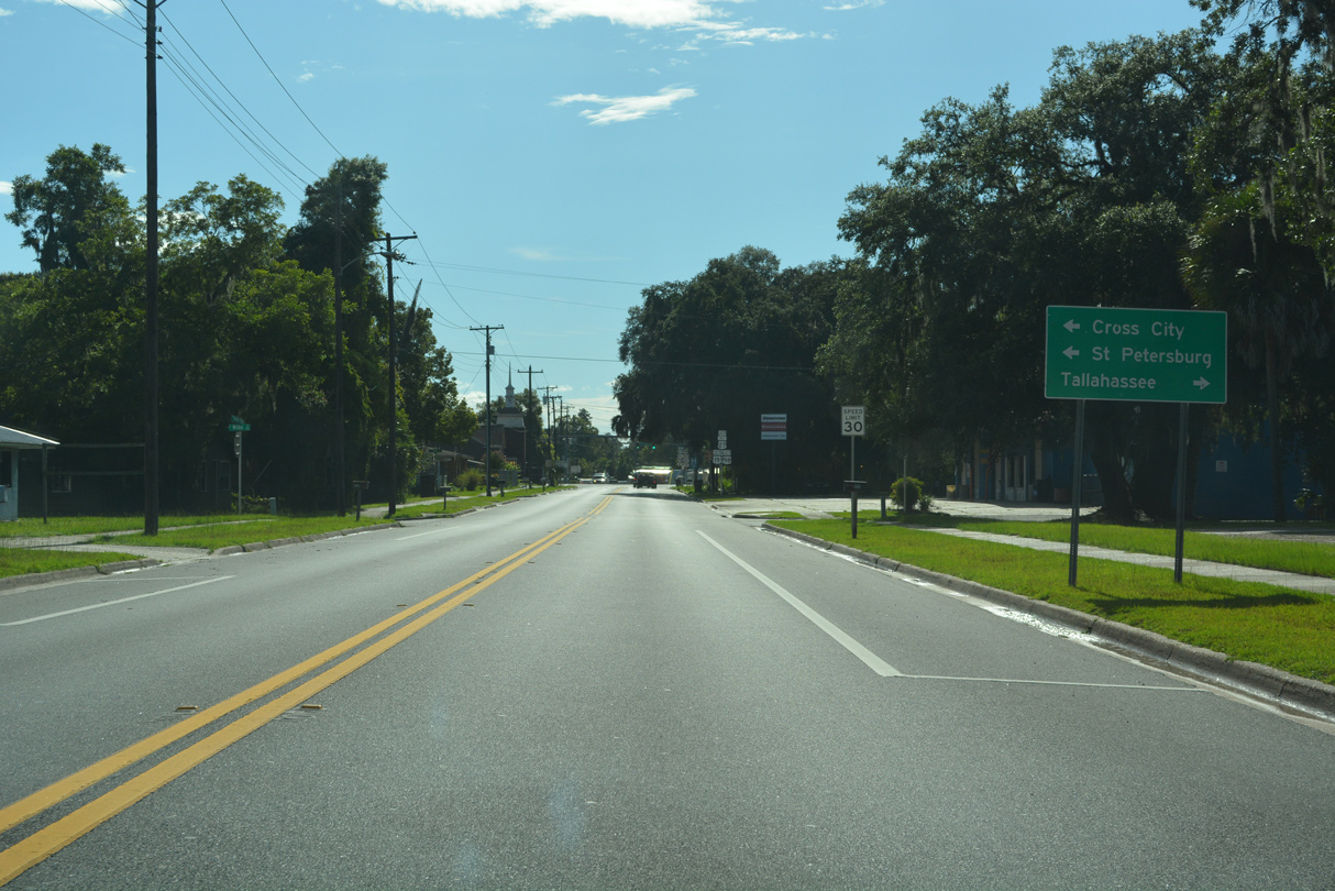
U.S. 98 separates from U.S. 19 north along Hampton Springs Avenue where U.S. 27/221 turn north. West from Perry, U.S. 98 traverses areas of wetlands north of the Gulf of Mexico to SR 267 at Newport and U.S. 319 near Medart.
07/27/22
07/27/22
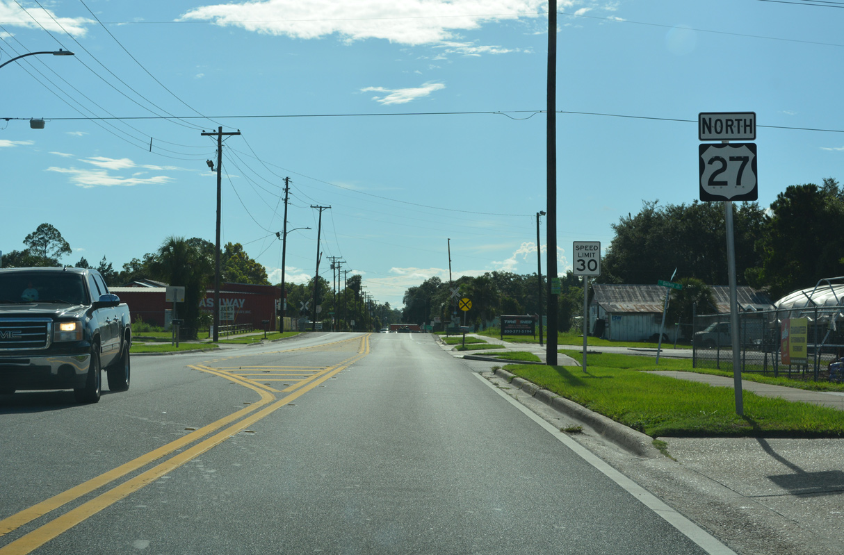
U.S. 221 runs concurrent with U.S. 19/27 north for 2.79 miles.
07/27/22
07/27/22
U.S. 19/98 overlap south to Crystal River and Sugarmill Woods in Citrus County. U.S. 19 continues from there toward St. Petersburg while U.S. 98 angles southeast to Brooksville and Lakeland.
07/27/22
07/27/22

Photo Credits:
- Alex Nitzman: 06/02/06, 06/30/17
- ABRoads: 01/18/10
- Alex Nitzman, JP Nasiatka: 07/27/22
Connect with:
Page Updated Wednesday July 26, 2023.