
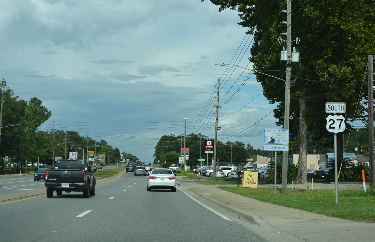
U.S. 27 South - Tallahassee to Waukeenah

 South
South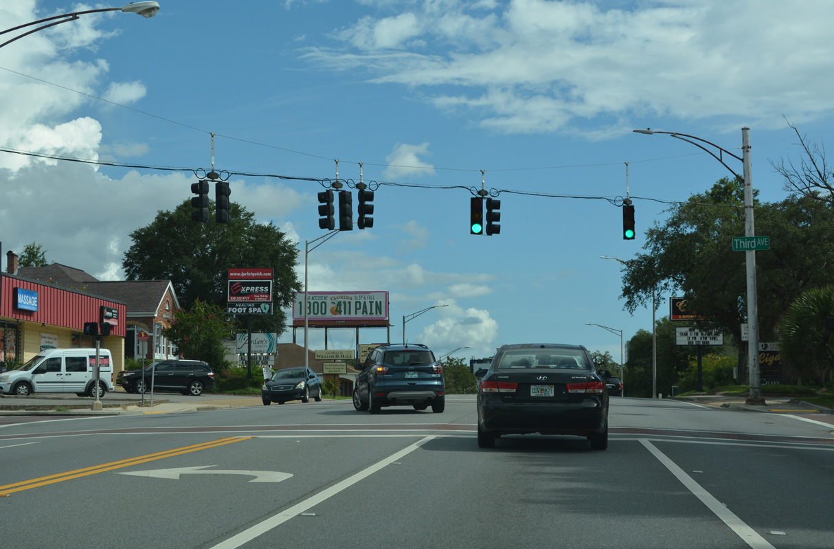
Third Avenue provides the movement from U.S. 27 (Monroe Street) south onto SR 61 (Thomasville Road) north. Thomasville Road leads northeast to Interstate 10 and U.S. 319 (Capital Circle NE) en route to Bradfordville and the northeastern Tallahassee suburbs.
07/27/22
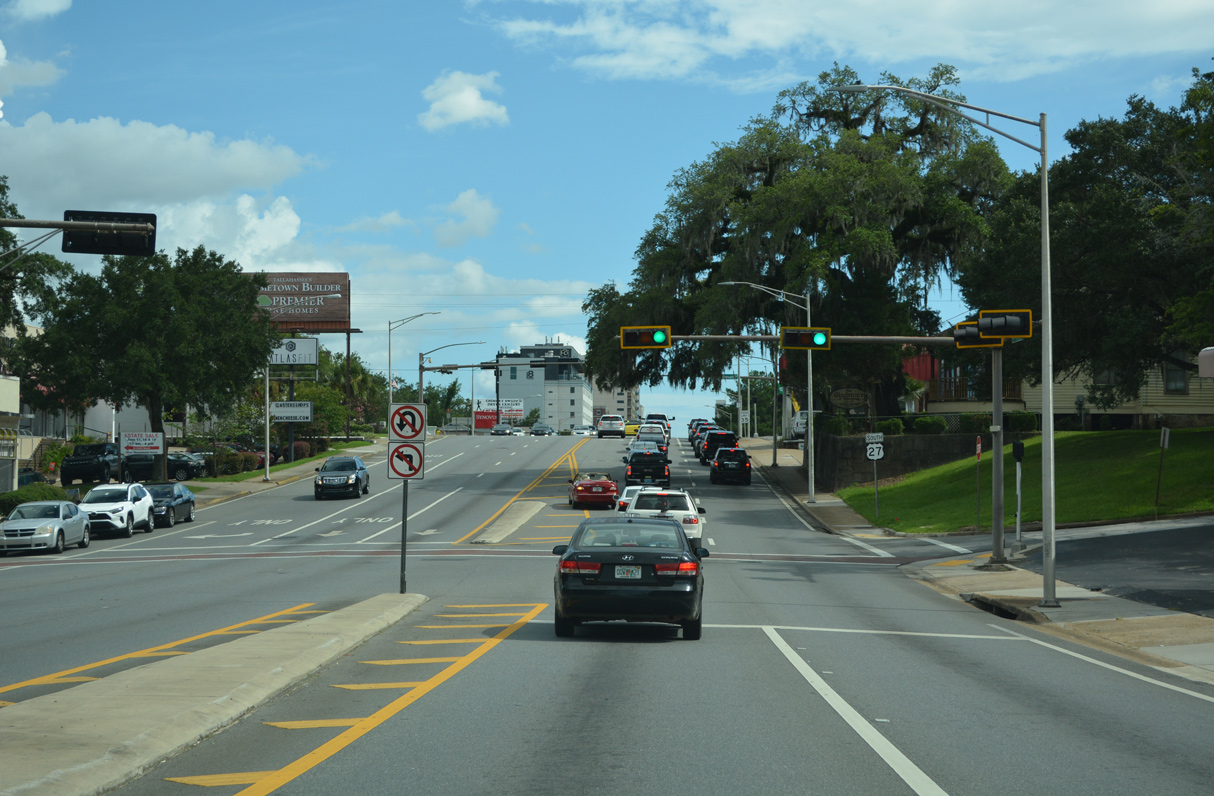
SR 61 (Thomasville Road) south combines with U.S. 27 (Monroe Street) ahead of a three block segment of 1st Avenue. SR 63 ends here as SR 61 takes over as the state road counterpart of U.S. 27 to Apalachee Parkway (unsigned SR 20).
07/27/22
 South
South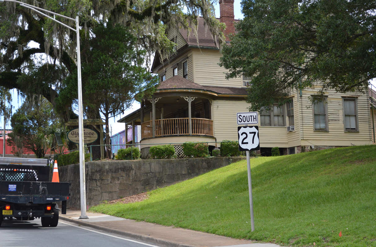
SR 61 is omitted from the shield assembly posted south along Monroe Street at 1st Avenue. U.S. 27/SR 61 overlap for 0.84 miles.
07/27/22
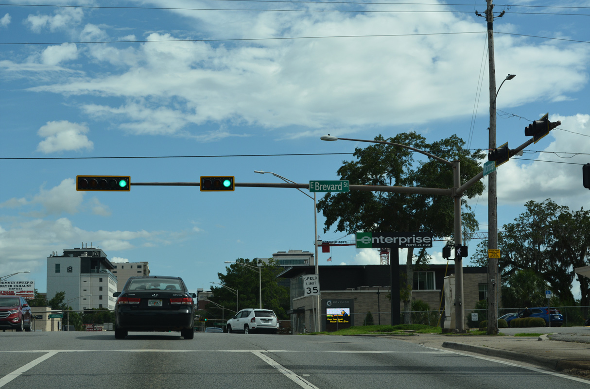
Monroe Street proceeds south to Brevard Street.
07/27/22

Monroe Street south at Carolina Street.
07/27/22
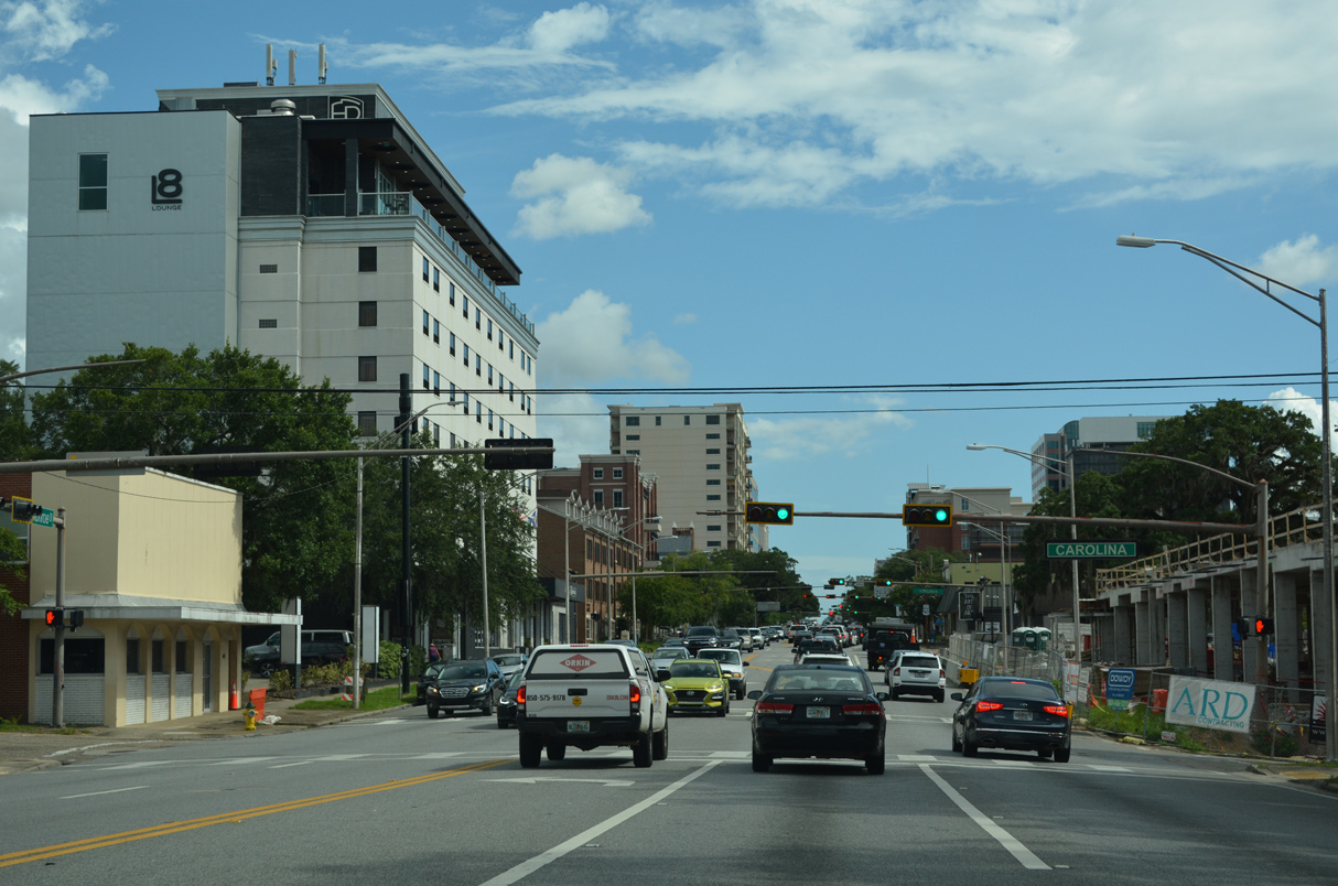
Continuing south into Downtown Tallahassee, U.S. 27/SR 61 next intersect Carolina Street.
07/27/22
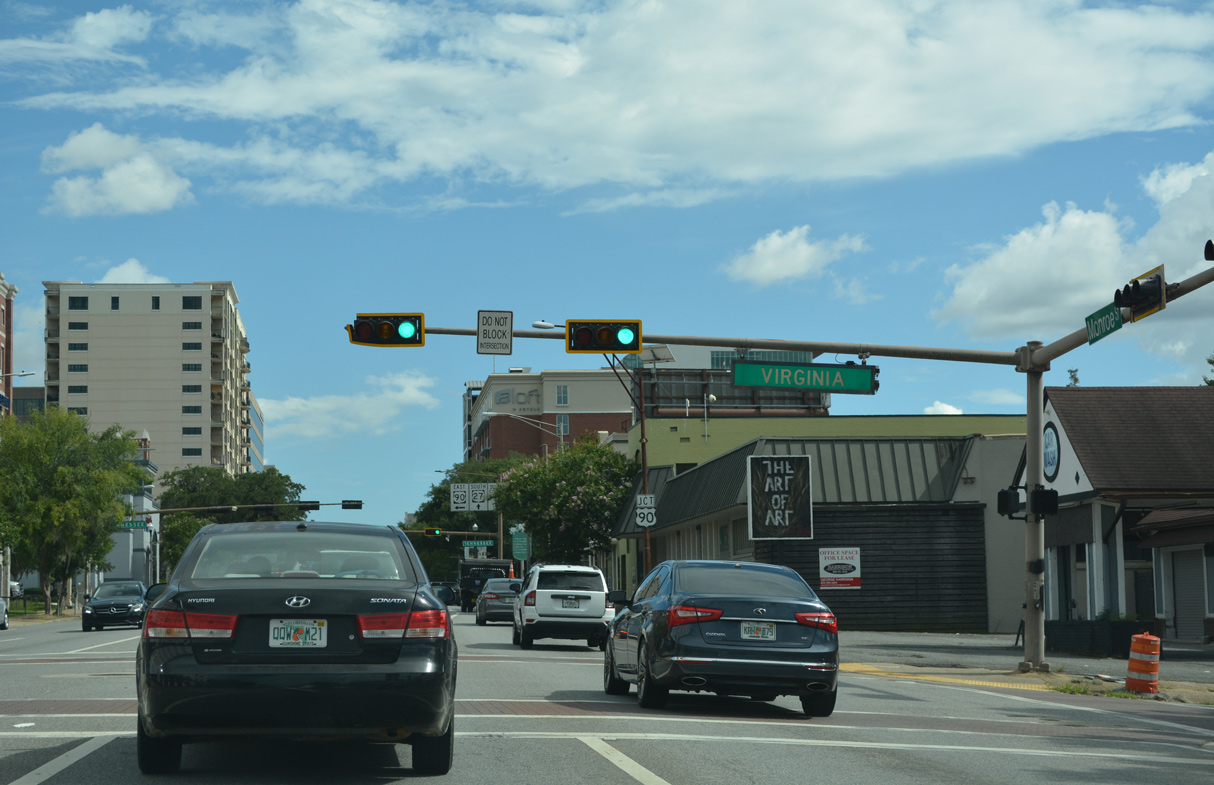
Virginia Street leads three blocks east to CR 146 (Miccosukee Road) at Leon High School.
07/27/22
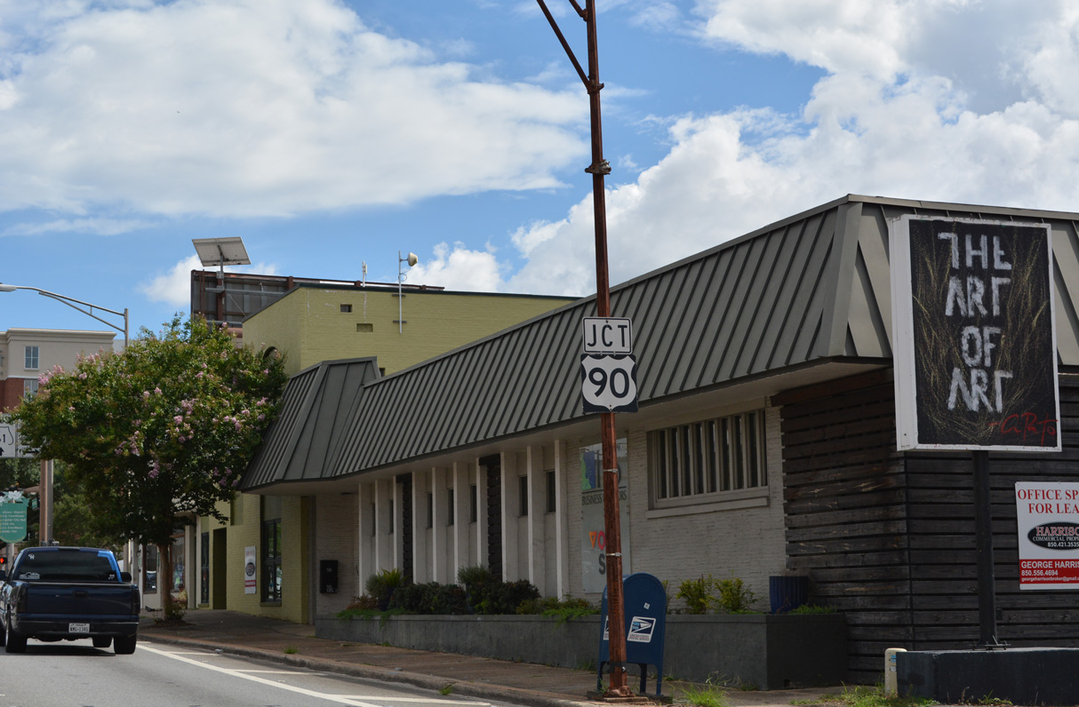
Forthcoming U.S. 90 (Tennessee Street) constitutes the main arterial route across central Tallahassee and to Florida State University (FSU).
07/27/22
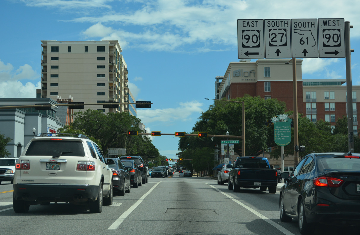
Beyond the capital city, U.S. 90 travels west to the city of Midway and east beyond I-10 to Monticello.
07/27/22
Tennessee Street becomes Mahan Drive east of SR 265 (Magnolia Drive). Mahan Drive run through the eastern suburbs.
07/27/22
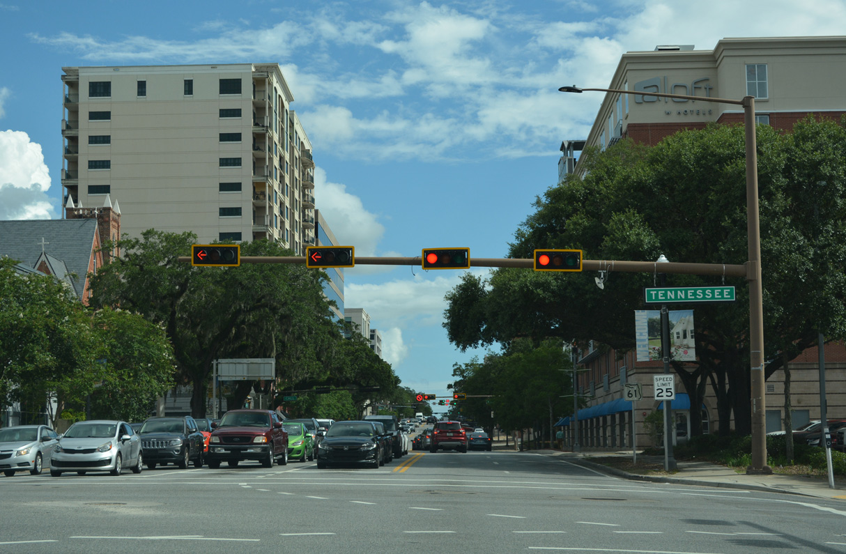
The first reference of SR 61 along the overlap with U.S. 27 appears south of U.S. 90 (Tennessee Street).
07/27/22

U.S. 27/SR 61 (Monroe Street) south intersect Call Street by the Tennyson condos and United States Courthouse.
07/27/22

Seven separate parks form a linear park along Park Avenue between Dr. Martin Luther King Jr. Boulevard and Meridian Street. Park Avenue also serves a historic district that is home to the Knott House Museum, the Tallahassee Chamber of Commerce and the Leon Collins Public Library.
07/27/22
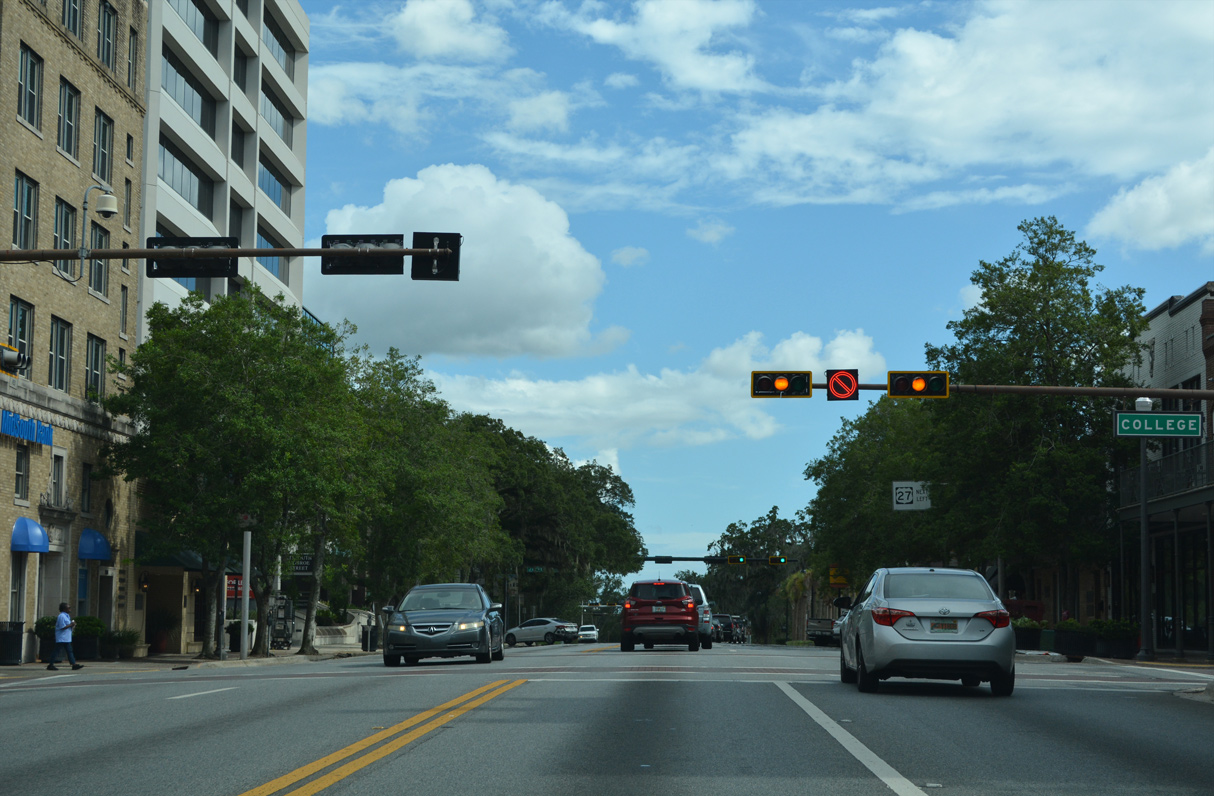
College Avenue leads west from Monroe Street to FSU and east into an adjacent neighborhood.
07/27/22
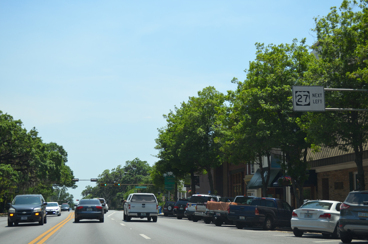
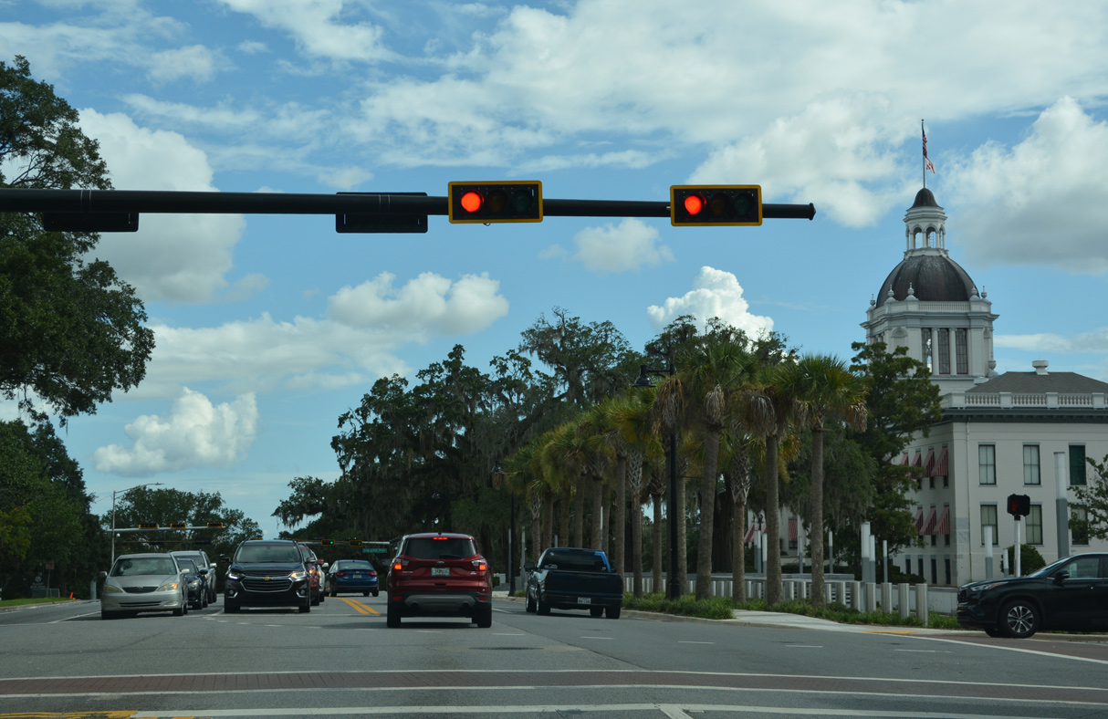
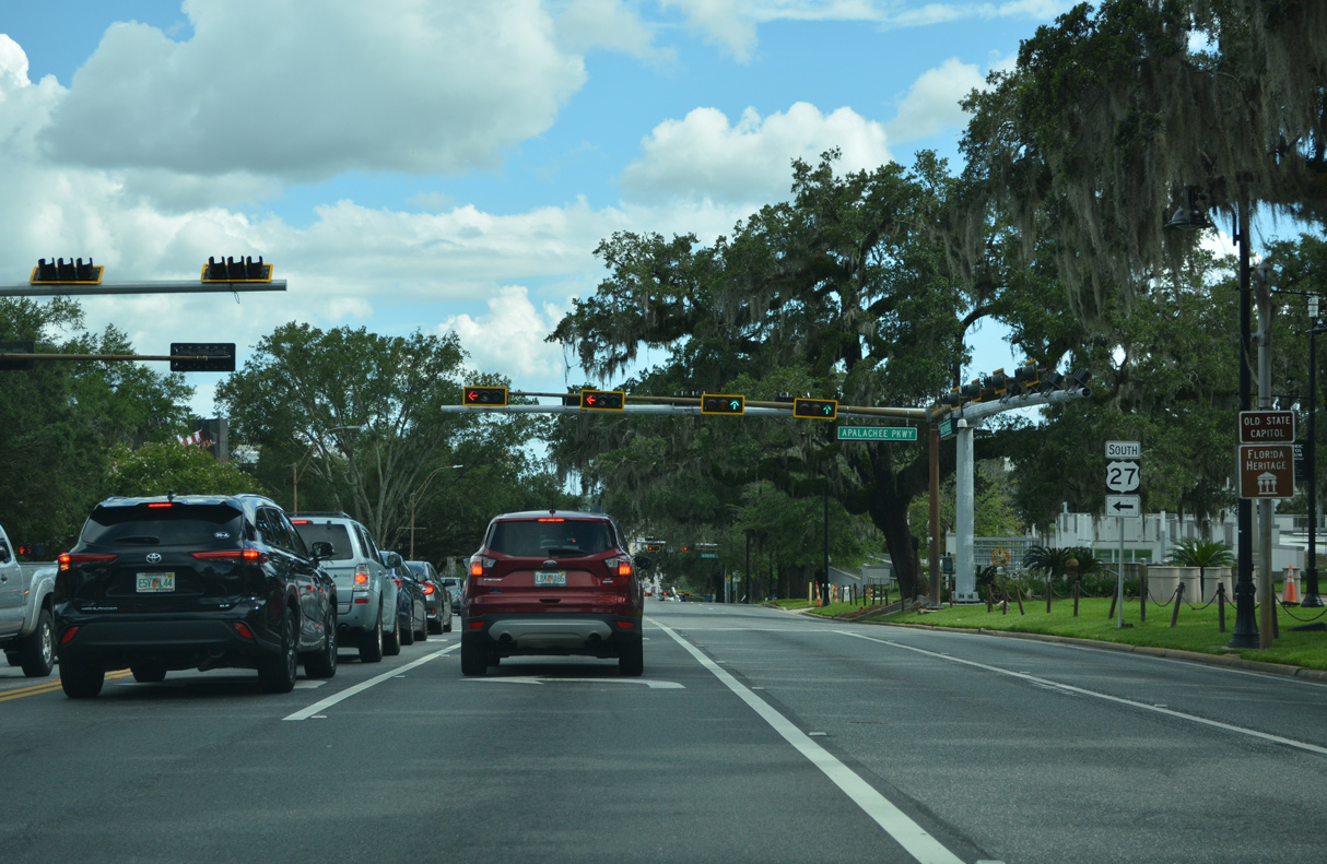
U.S. 27 separates from SR 61 (Monroe Street) south of Jefferson Street at Apalachee Parkway. SR 366 previously ran west along Jefferson and Pensacola Streets to Stadium Drive. Eastbound utilized St. Augustine Street one block to the south.
05/07/15
SR 366 (Jefferson Street) between U.S. 27 and SR 371 (Lake Bradford Road) was turned back to the city of Tallahassee after mid 2000s reconstruction of area roads surrounding Doak Campbell Stadium on the FSU Campus.
07/27/22
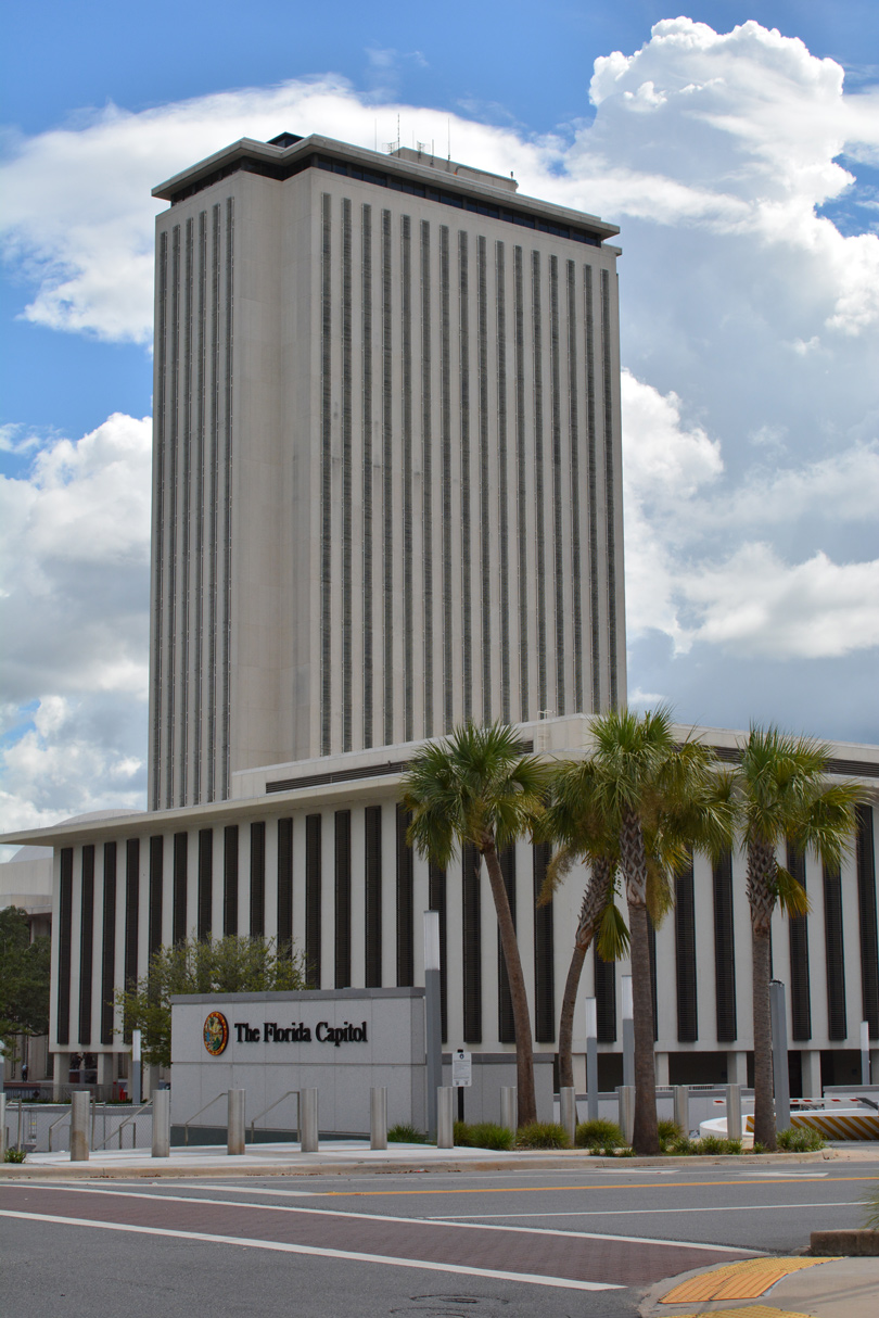
The Florida State Capitol lines the west side of Monroe Street between Jefferson and Madison Streets.
07/27/22
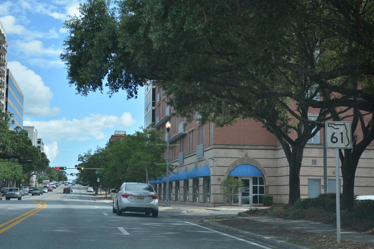
SR 61 remains south along Monroe Street past Florida A&M University to Paul Russell Road west. Shifting onto Adams Street, SR 61 continues south onto Crawfordville Road to U.S. 319/SR 263 (Capital Circle).
07/27/22
South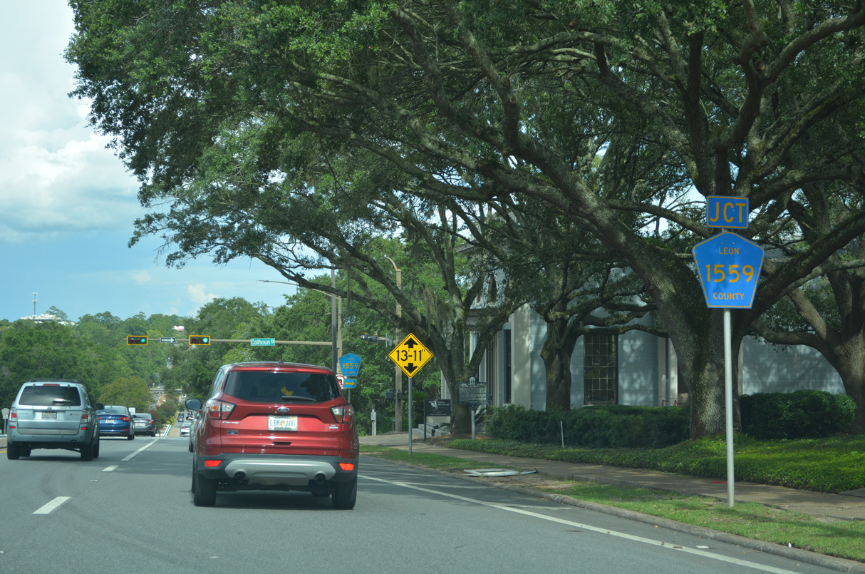
One block removed from SR 61, U.S. 27 (Apalachee Parkway) southbound intersects Calhoun Street (CR 1559).
07/27/22
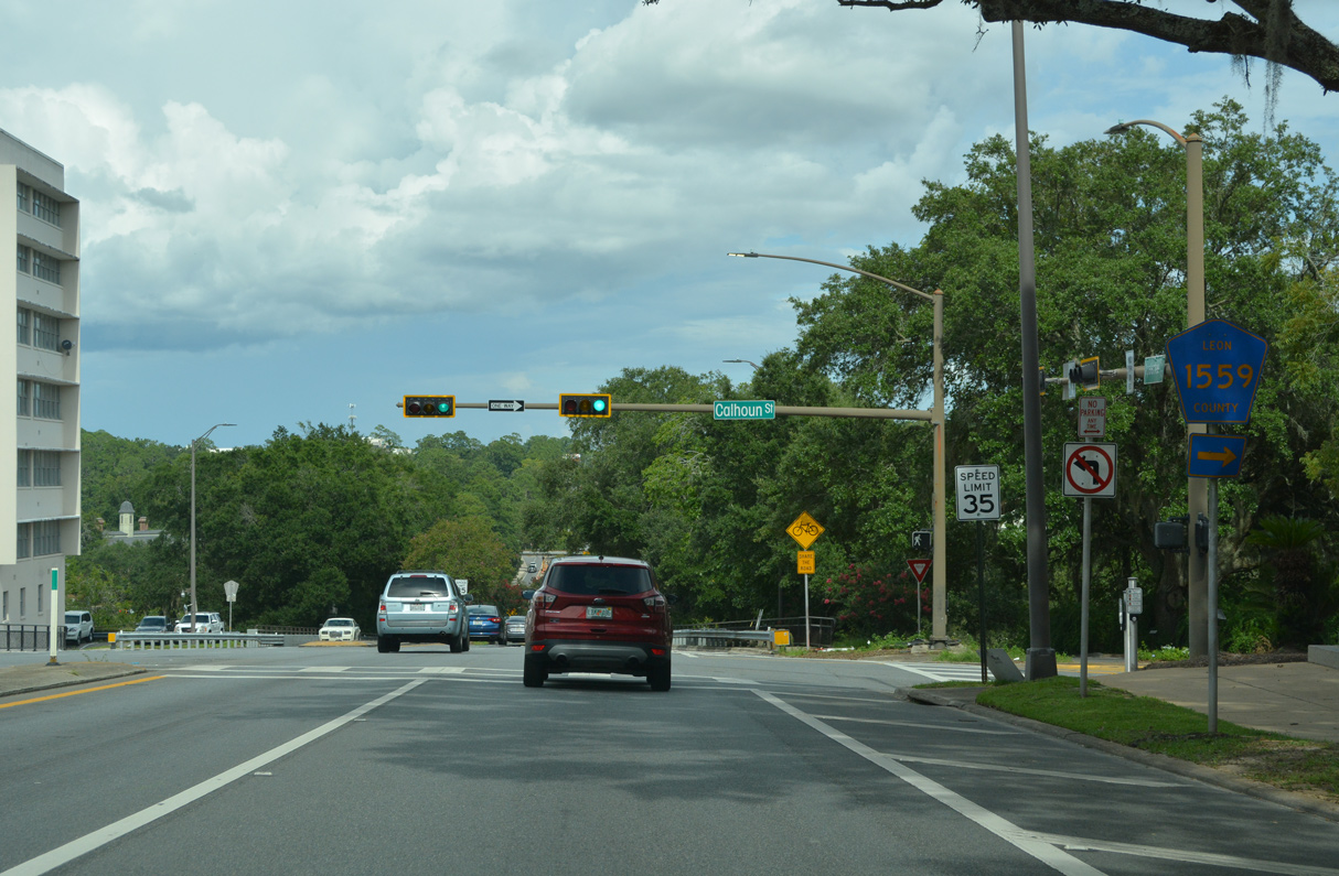
1.10 miles in length, CR 1559 lines Calhoun Street south to Gaines Street (CR 1555) and north to Thomasville Road (SR 61).
07/27/22
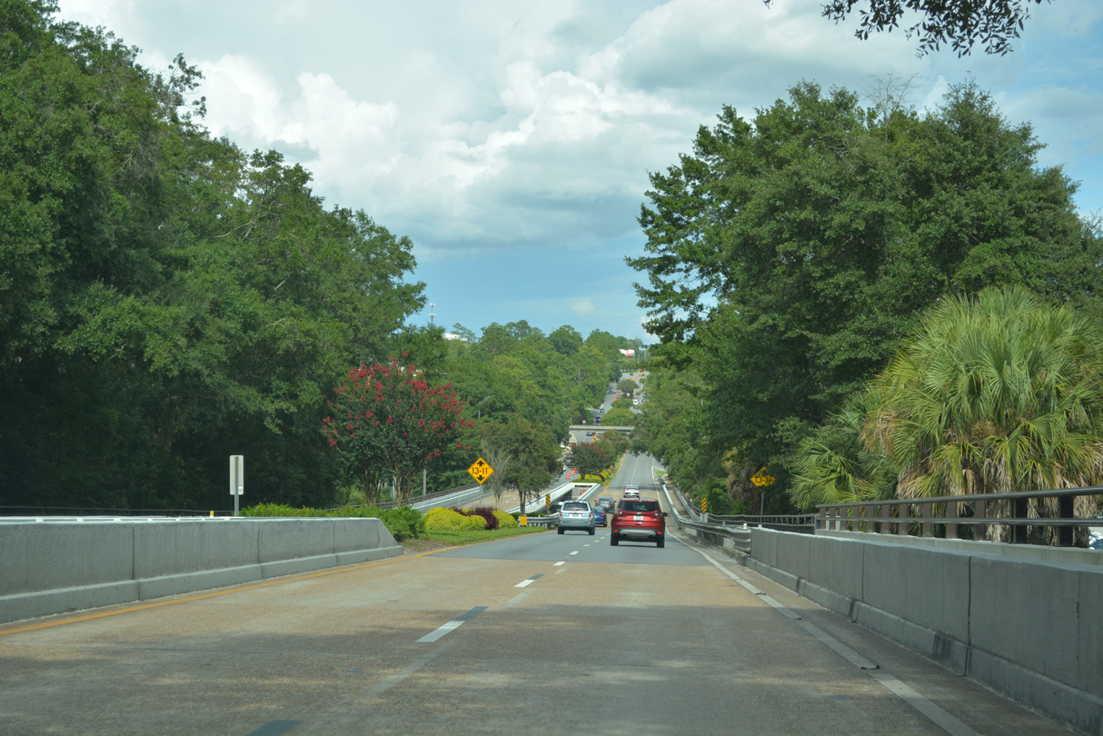
Lowering around 80 feet in elevation east from the State Capitol, U.S. 27 (Apalachee Parkway) spans both Gadsden Street (CR 1557) and Franklin Boulevard (SR 1555).
07/27/22
An entrance ramp joins U.S. 27 south from adjacent Lafayette Street (CR 2196) ahead of a CSX Railroad overpass. A slip ramp follows onto the Apalachee Parkway eastbound service road, which accompanies U.S. 27 east to the Parkway Center retail plaza by Magnolia Drive.
07/27/22
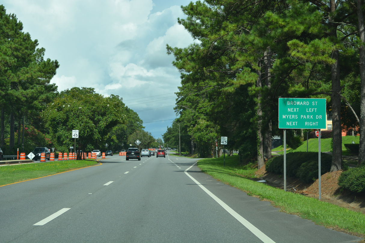
Broward Street south and Myers Park Drive north converge with U.S. 27 at the following intersection.
07/27/22
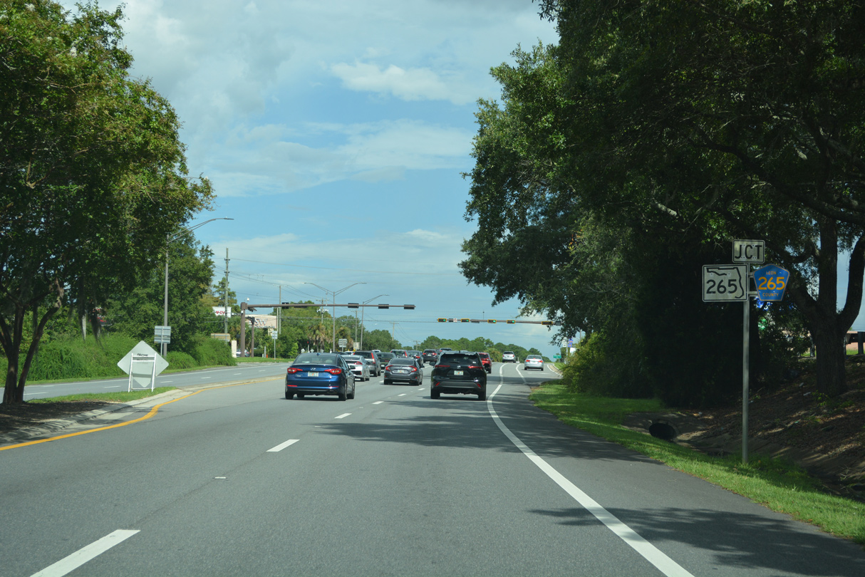
Continuing east, U.S. 27 (Apalachee Parkway) enters the commercialized intersection with Magnolia Drive. Magnolia Drive arcs 2.15 miles southwest to SR 61 (Monroe Street) as County Road 265.
07/27/22

CR 265 (Magnolia Drive) heads south to Indian Head Acres, Country Club Park and Florida A & M University while SR 265 lines Magnolia Drive north 1.42 miles to CR 151 (Centreville Road) at Tallahassee Memorial Hospital.
07/27/22
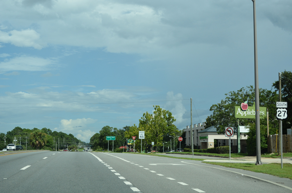
Advancing east from SR 265/CR 265, U.S. 27 (Apalachee Parkway) passes by Governor's Square Mall.
07/27/22
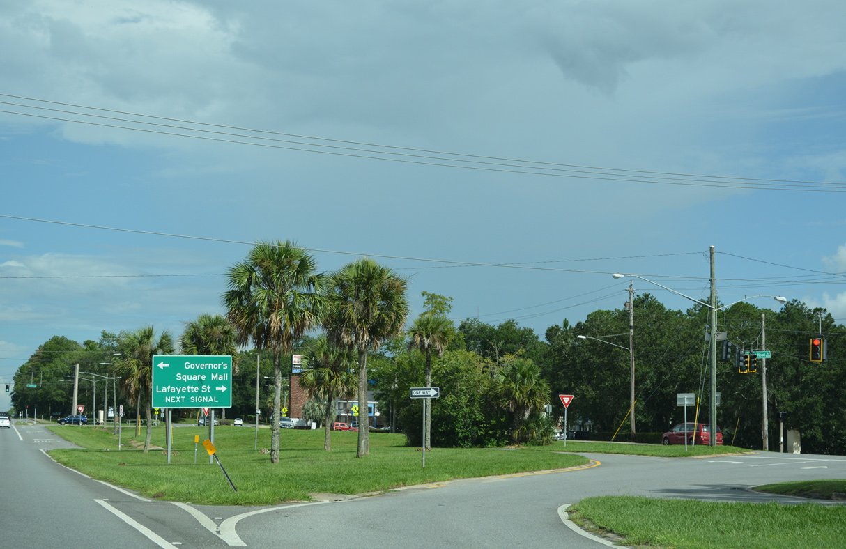
A slip ramp connects with the Apalachee Parkway service at the signalized intersection joining parallel Lafayette Street with Indian Head Drive south.
07/27/22
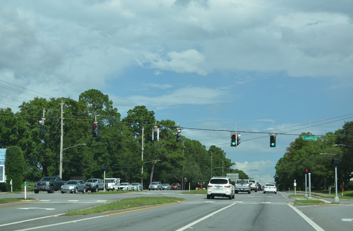
A signalized intersection joins U.S. 27 and an access road to adjacent Lafayette Street (CR 2196) west and Old St. Augustine Road (CR 2196) east opposite from an entrance to Governor's Square Mall.
07/27/22
Blair Stone Road meets U.S. 27 along the east side of Governor's Square Mall. The four lane arterial was extended north from Park Avenue to Centerville Road (CR 151) in the mid 2000s.
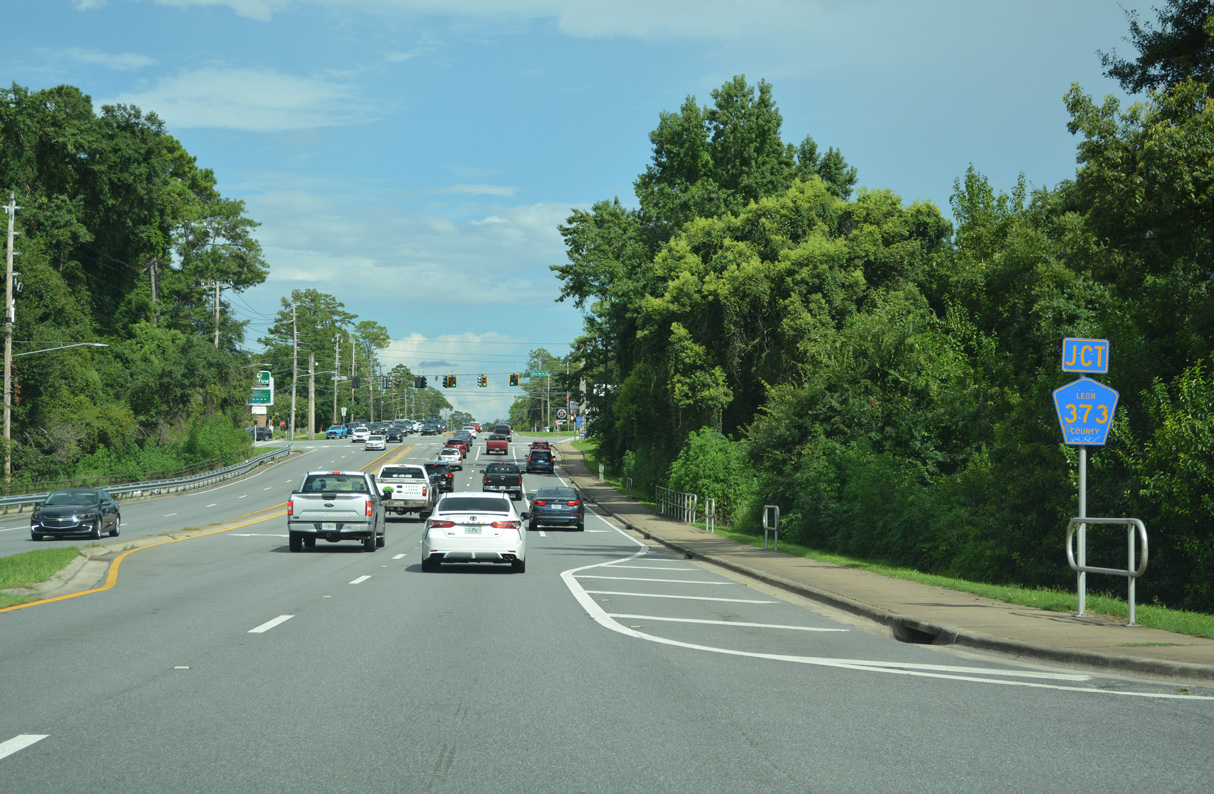
07/27/22

South from U.S. 27 (Apalachee Parkway), Blair Stone Road is part of Leon County Road 373, 1.34 miles to Orange Avenue. There CR 373 turns west along Orange Avenue 1.76 miles to SR 61 and SR 373.
07/27/22
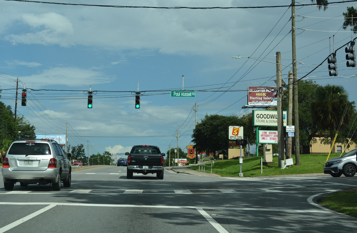
Paul Russell Road stems south from the succeeding traffic light on Apalachee Parkway 1.33 miles to Orange Avenue.
07/27/22
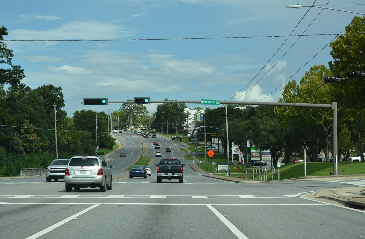
Richardson Road provides one of two routes to the Camelot Park subdivision between U.S. 27 and Park Avenue.
07/27/22
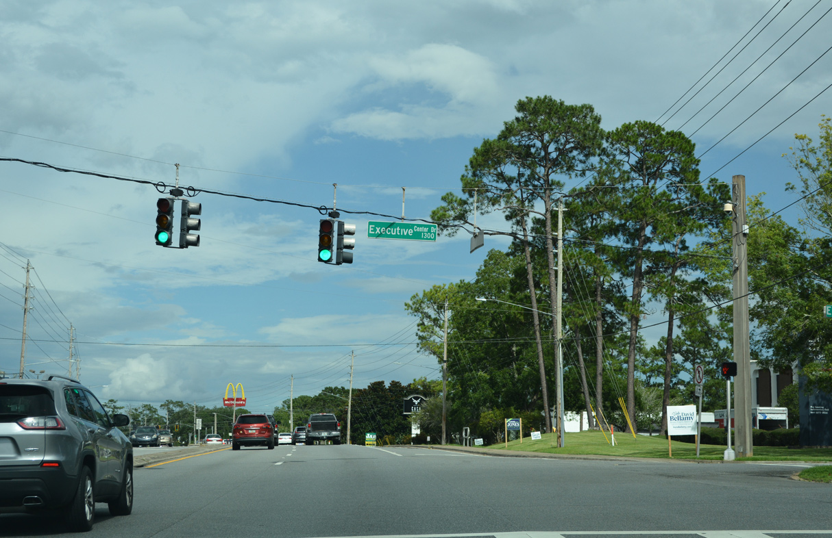
Executive Center Drive comprises a divided access road joining Apalachee Parkway with Koger Center office park on the south side of U.S. 27.
07/27/22
Richview Road heads north to Park Avenue as a residential through road.
07/27/22
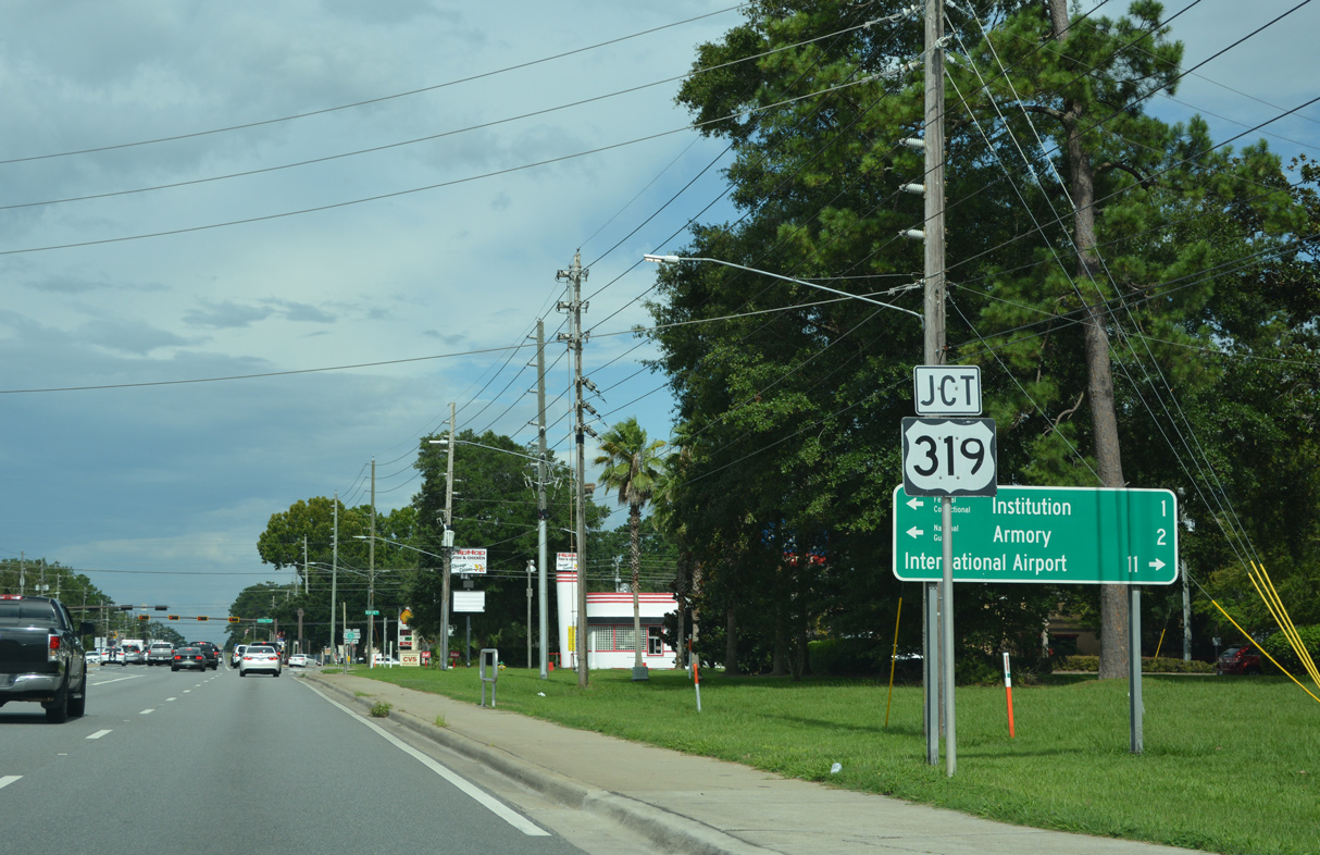
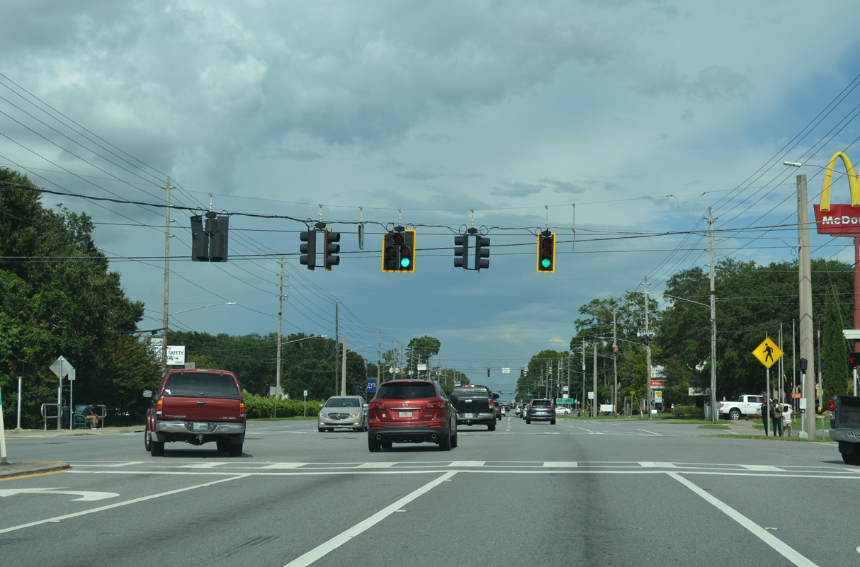
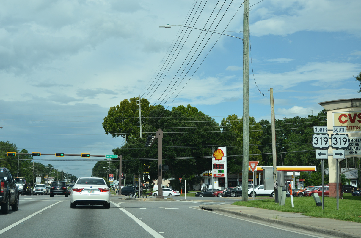
Advancing to the commercialized junction with U.S. 319 (Capital Circle) on U.S. 27 (Apalachee Parkway) south. U.S. 319 encircles the east side of Tallahassee from Crawfordville Highway (SR 61) to Thomasville Road (SR 61) along an at-grade beltway.
07/27/22
A 318 mile long route from Eastpoint in Franklin County and Wadley, Georgia, U.S. 319 joins the capital city with Crawfordville and Wakulla to the south and Bradfordville and Thomasville, Georgia to the north.
07/27/22
Confirming marker posted for U.S. 27 south after U.S. 319 (Capital Circle).
07/27/22
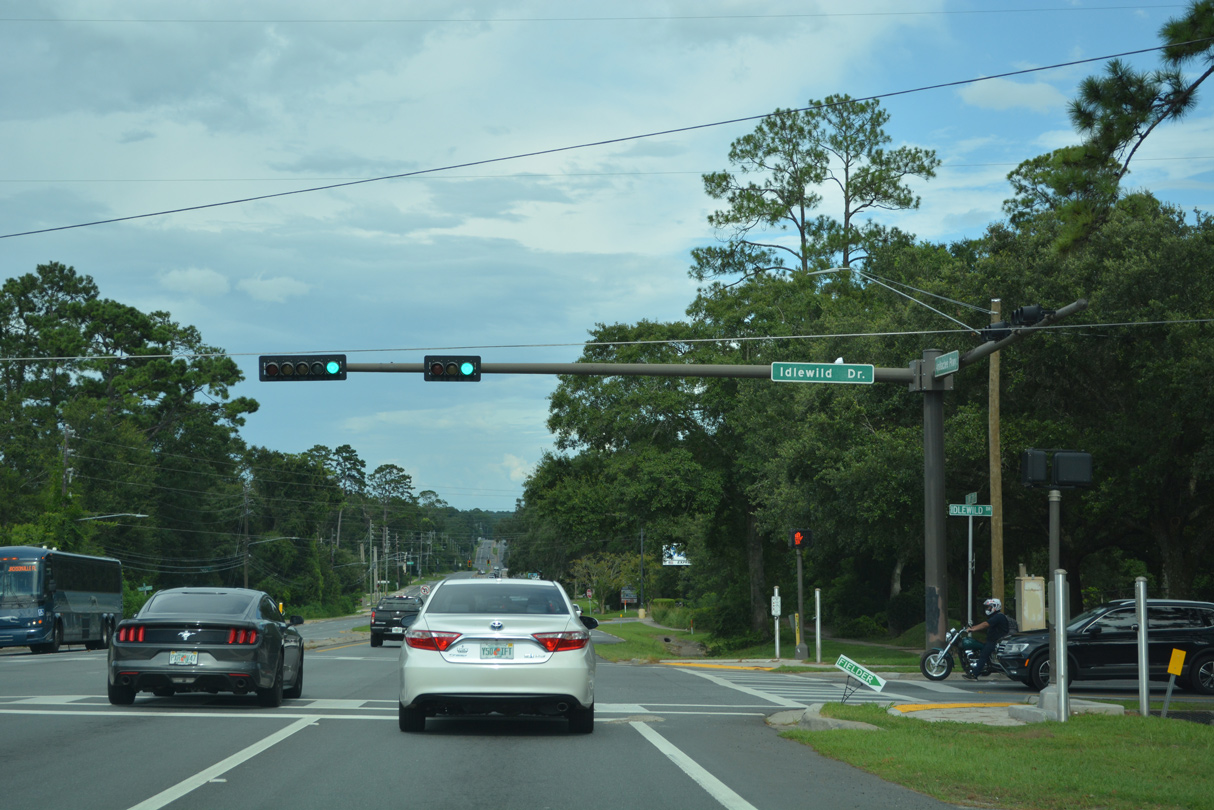
Traffic lights were added at Apalachee parkway and Idlewild Drive by 2011.
07/27/22
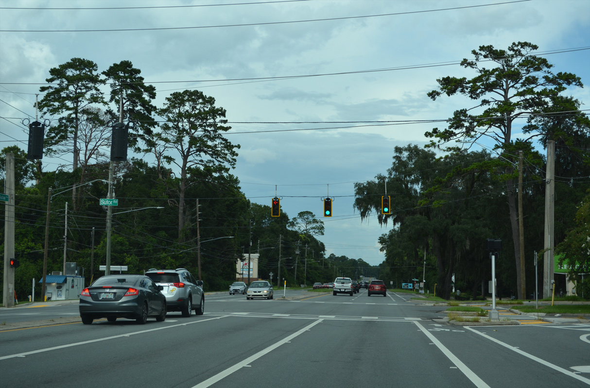
Sutor Road heads north from U.S. 27 to Trojan Trail and Lincoln High School.
07/27/22
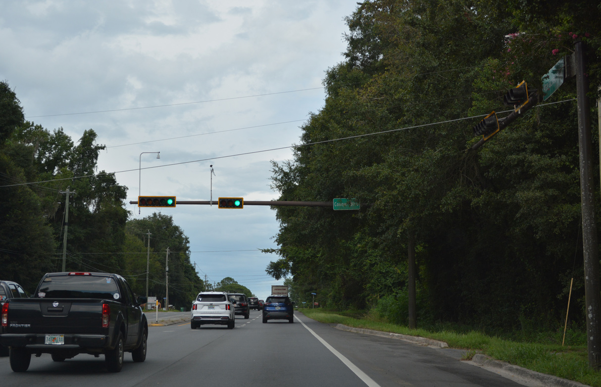
Conner Boulevard arcs northwest from U.S. 27 to the Piney Z neighborhood and Tom Brown Park to become Park Avenue west of U.S. 319.
07/27/22
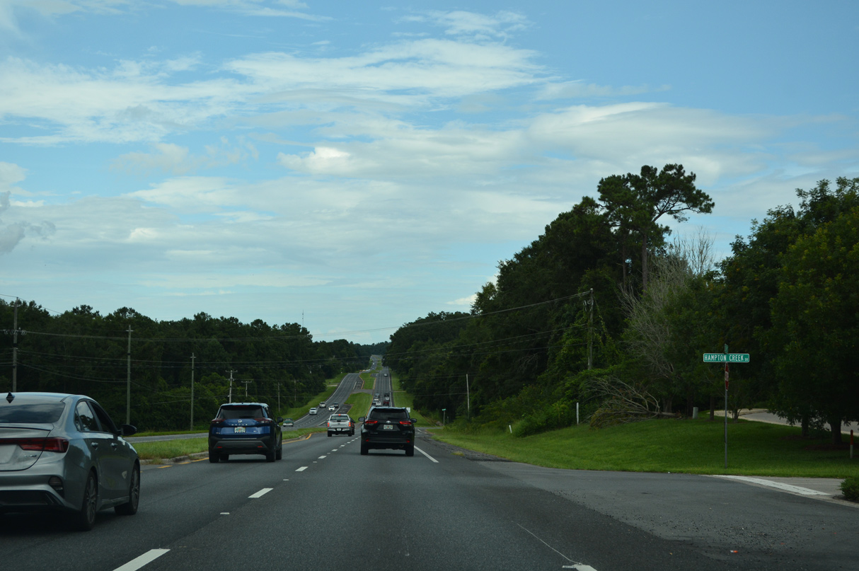
U.S. 27 lowers across an area of wetlands extending southwest from Lake Lafayette east beyond the Hampton Creek subdivision.
07/27/22
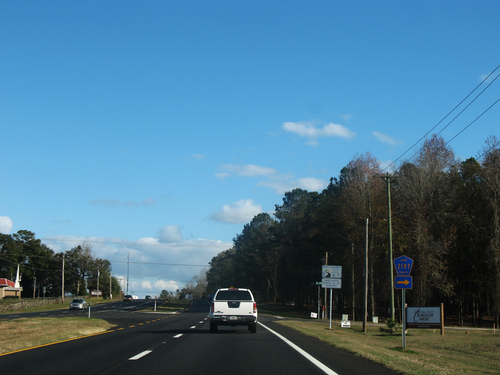
Leon County Road 2197 (Williams Road) forms an L-shaped route south and east from U.S. 27 (Apalachee Parkway) to CR 2195 (W.W. Kelly Road).
12/11/07
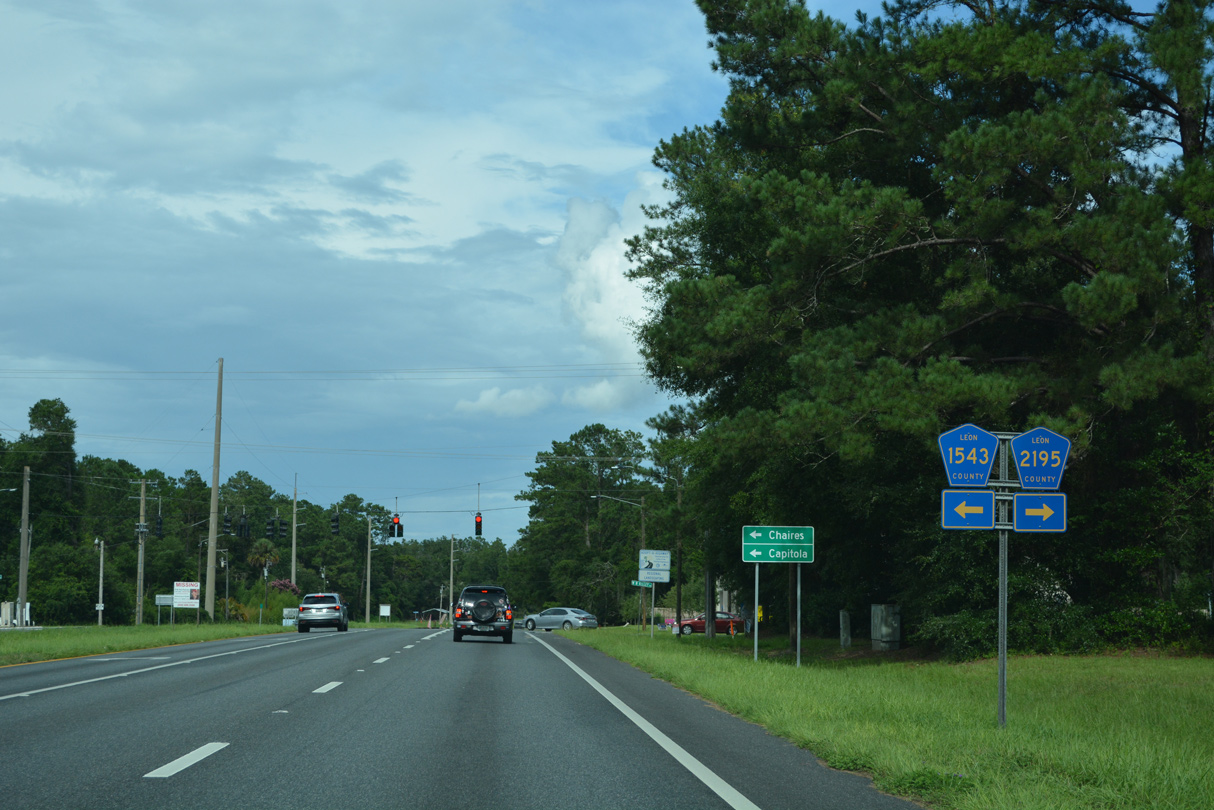
CR 2195 (W.W. Kelly Road) north and CR 1543 (Chaires Cross Road) south come together at U.S. 27 and Chaires Crossing.
07/27/22
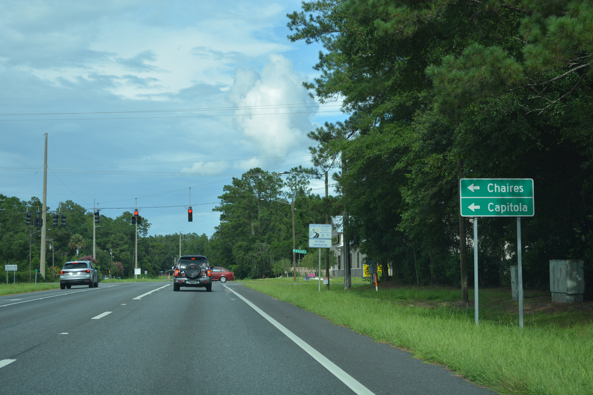
CR 1543 dog legs north to Chaires as part of a 5.20 mile route to U.S. 90. W.W. Kelly Road carries CR 2195 south 11.67 miles to Rose.
07/27/22
Old St. Augustine Road formerly ended at U.S. 27 just east of CR 2195/1543. Permanently closed, the road was demolished between W.W. Kelly Road and this reassurance marker that was removed after 2011.
12/11/07
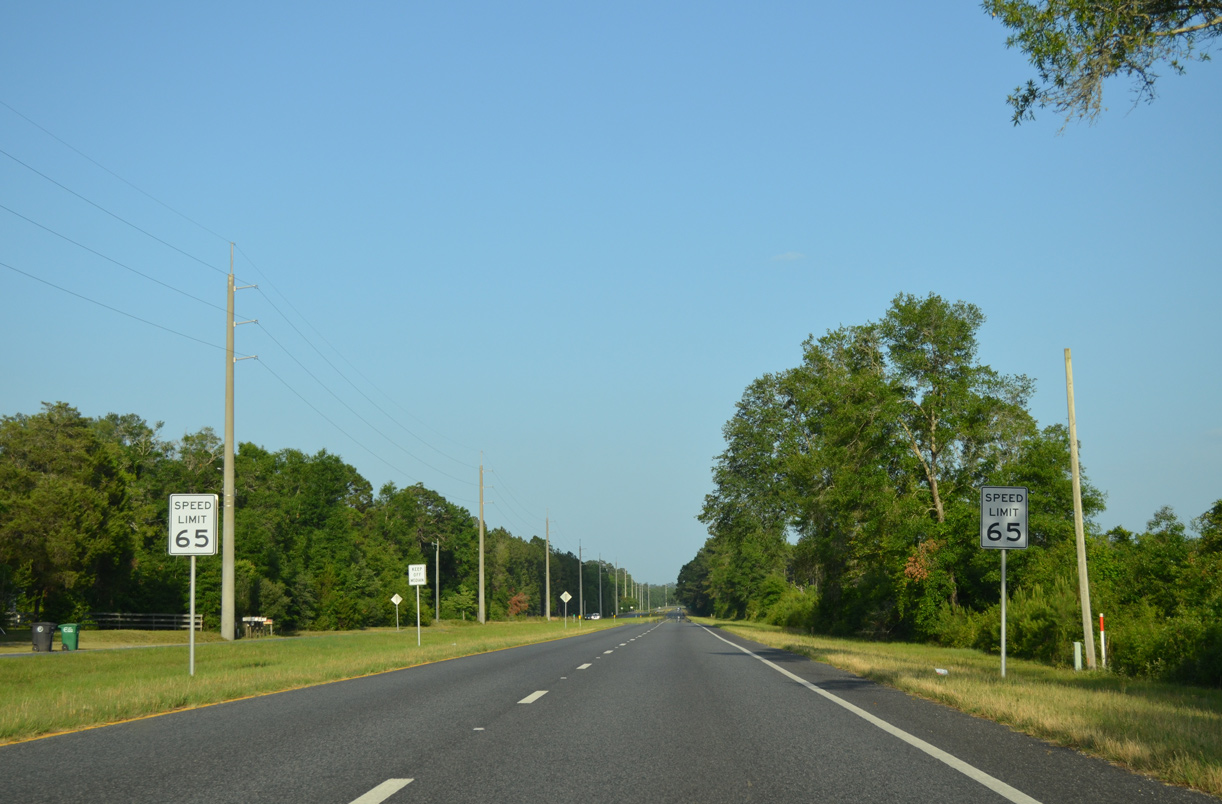
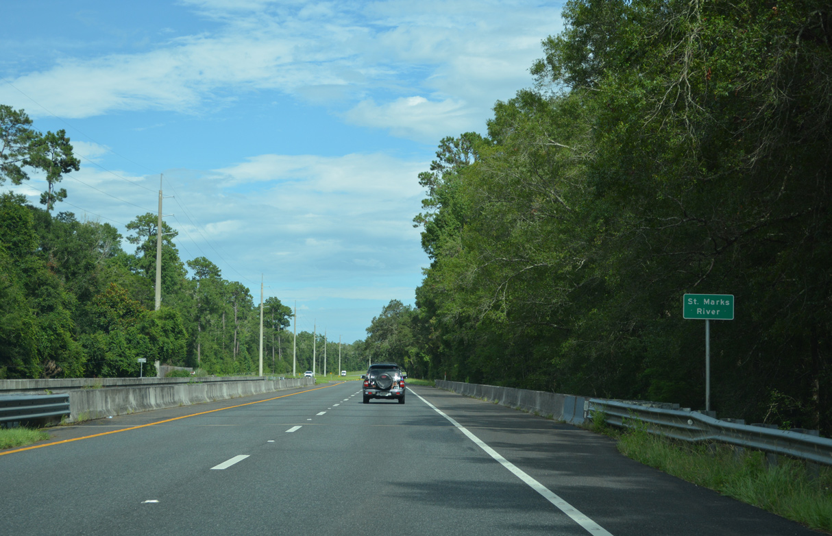
The speed limit increases to 65 miles per hour along U.S. 27 (Apalachee Parkway) south between Chase Wood Trail and the St. Marks River.
05/12/15
07/27/22
Cap Tram Road ties into U.S. 27 between a pair of S-curves 2.8 miles south of Capitola.
07/27/22
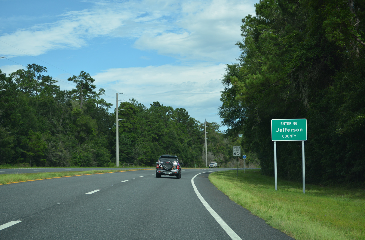
U.S. 27 proceeds east from Cap Tram Road into rural Jefferson County.
07/27/22
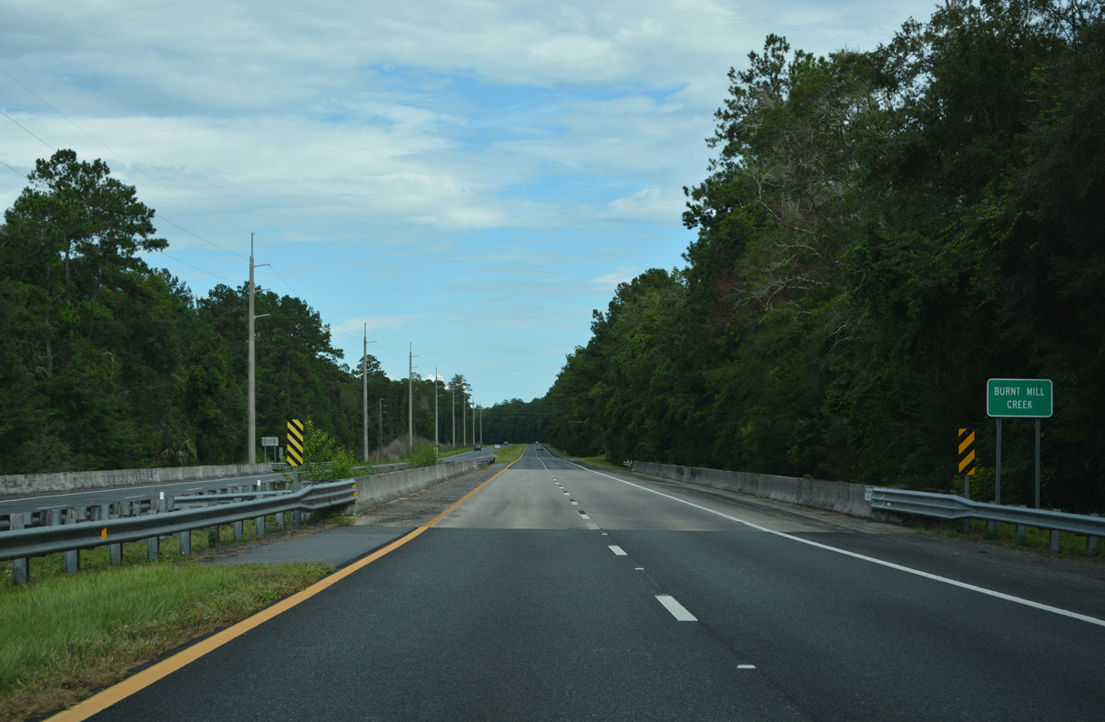
0.7 miles east of the Jefferson County line, U.S. 27 crosses Burnt Mill Creek on bridges built in 1992.
07/27/22

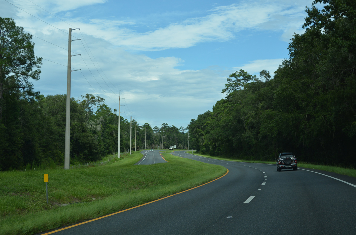
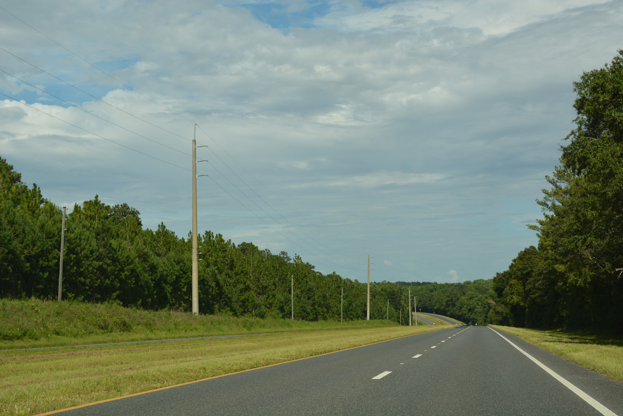
U.S. 27 undulates eastward from Burnt Mill Creek alongside a power line corridor.
07/27/22
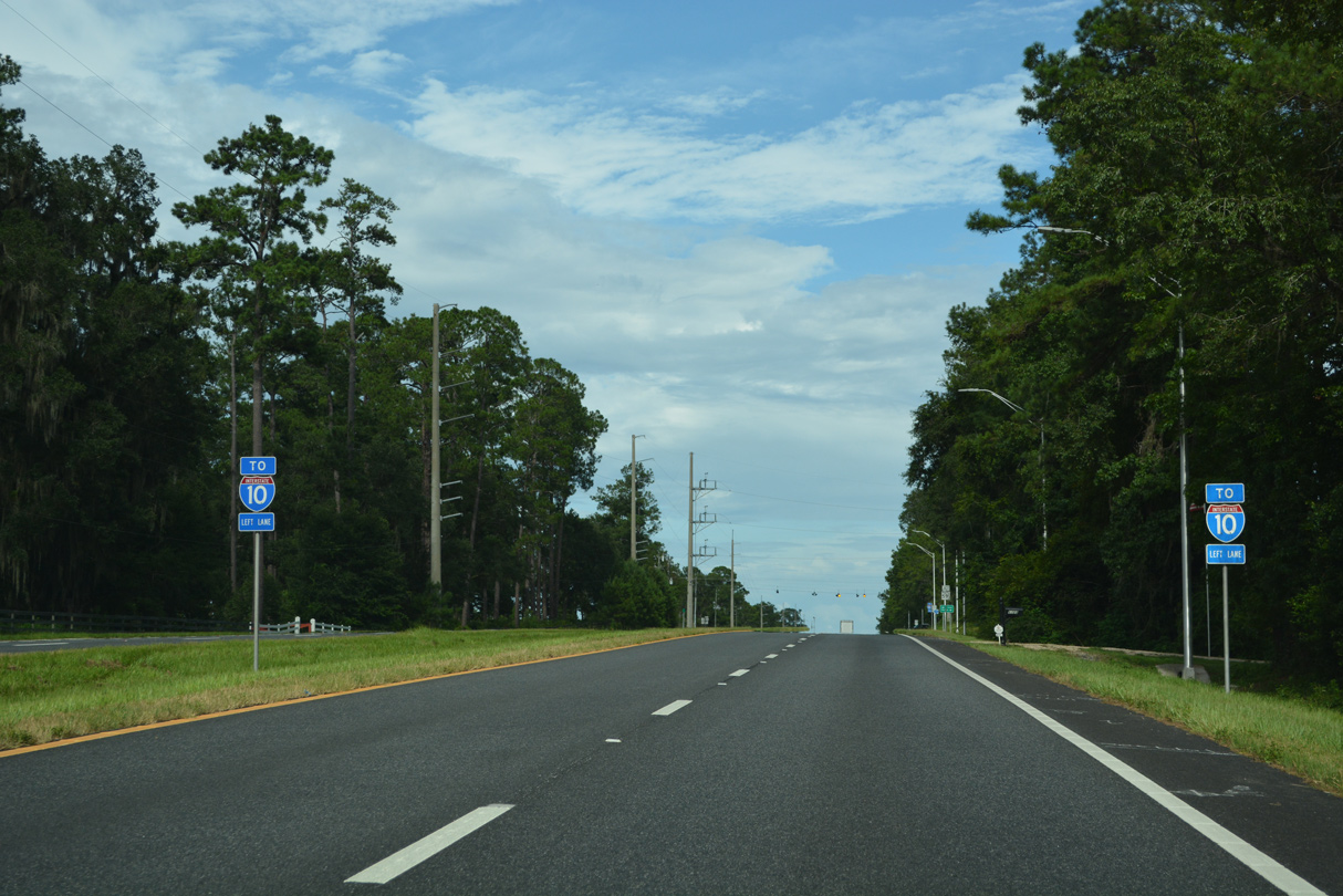
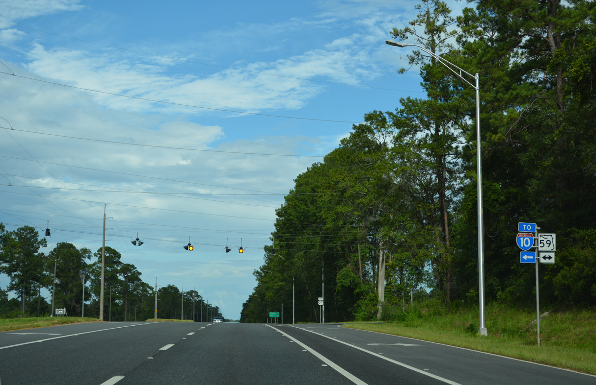
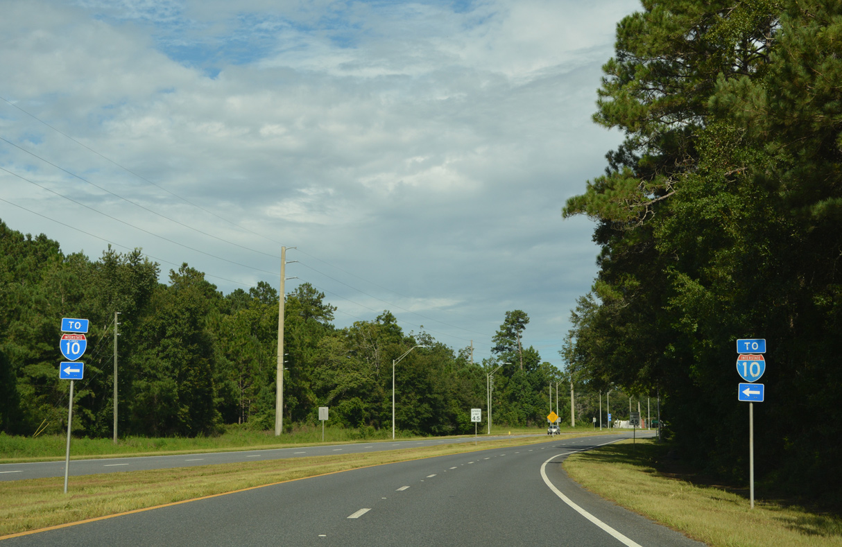
The rural crossroads with SR 59 lie 5.8 miles south of Interstate 10 at Exit 217.
07/27/22
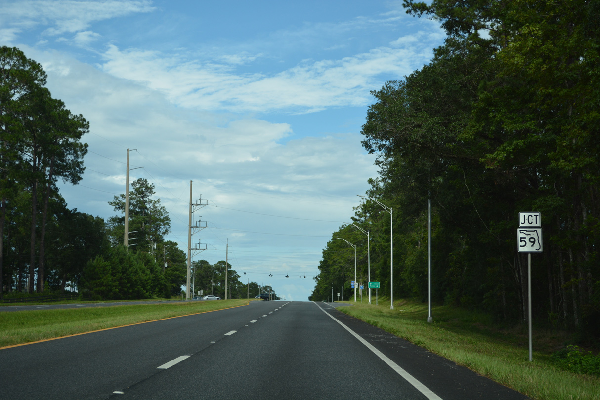
State Road 59 follows a rural route north to Lloyd and U.S. 90 in eastern Leon County.
07/27/22
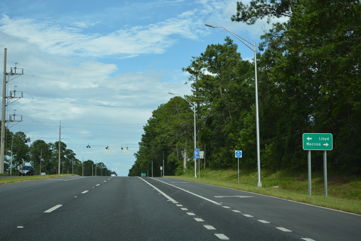
Heading south from U.S. 27, SR 59 angles eastward to Wacissa before turning back to the west along Aucilla Wildlife Management Area.
07/27/22
SR 59 runs 25.91 miles overall from U.S. 98 near Featherbed Bay to U.S. 90 at CR 142 west of Lake Miccosukee.
07/27/22
East from SR 59, U.S. 27 passes south of Shadow Lake.
07/27/22
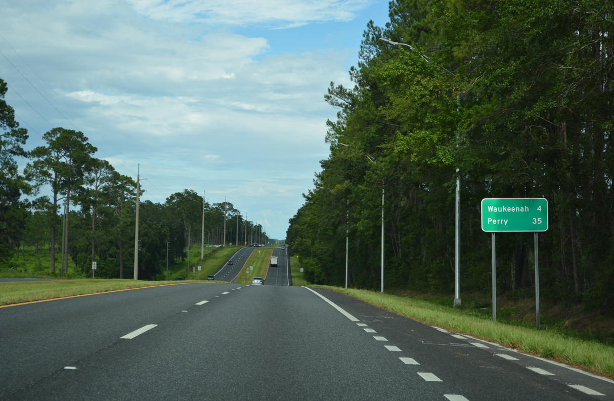
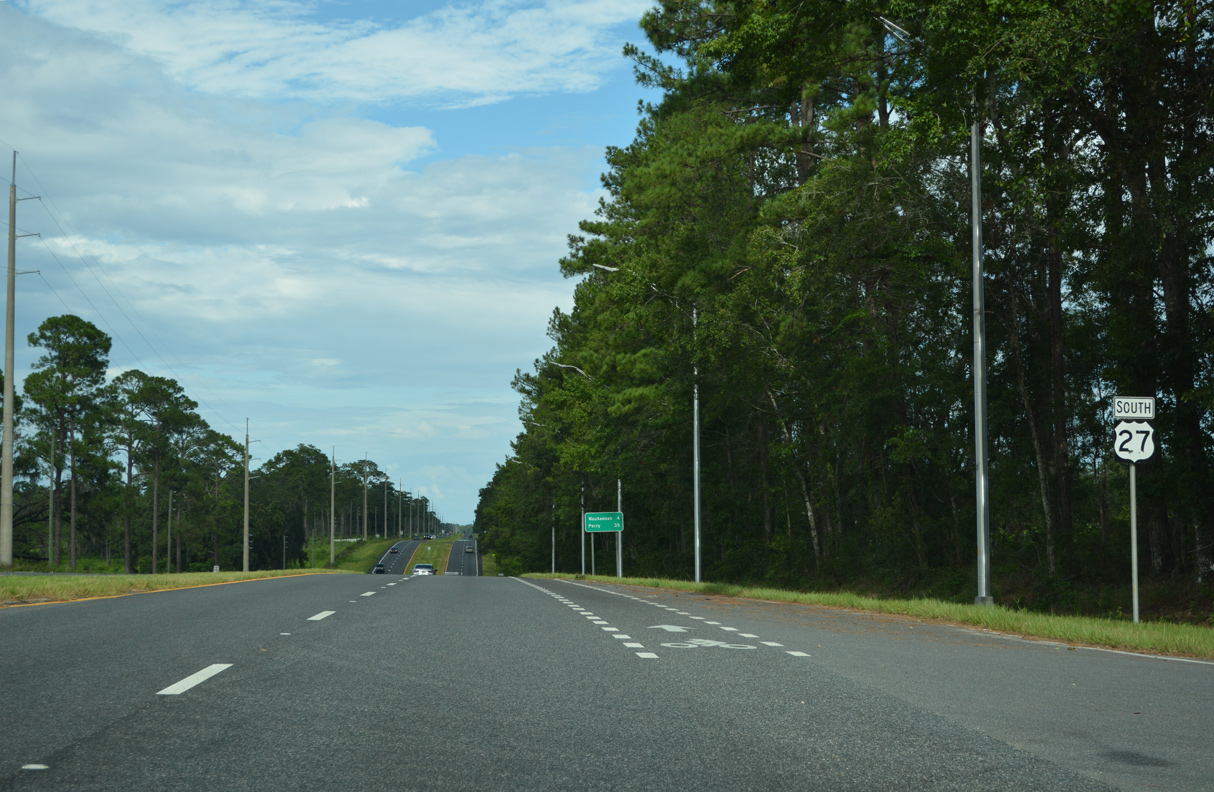
The rural settlement of Wakeenah lies four miles east of SR 59. Perry is 35 miles to the southeast.
07/27/22
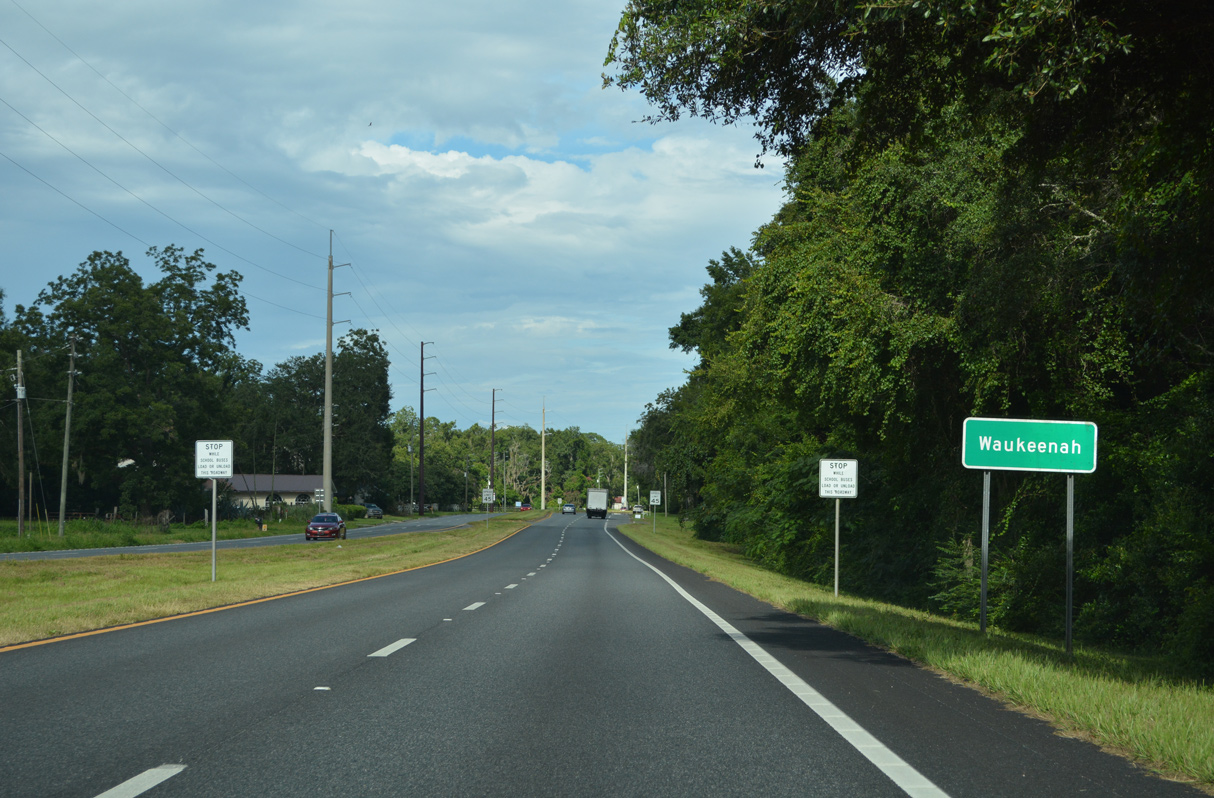
U.S. 27 enters Waukeenah northeast of Lake Catherine.
07/27/22
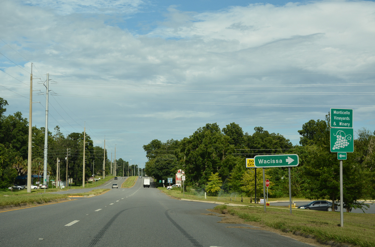
CR 259 (Waukeenah Highway) heads 5.1 miles northeast from Tram Road and Wacissa to U.S. 27 at Waukeenah.
07/27/22

The 14.59 mile long route of CR 259 (Waukeenah Highway) extends northeast from U.S. 27 to U.S. 19 at Monticello.
07/27/22
U.S. 27 confirming marker posted east of CR 259.
07/27/22

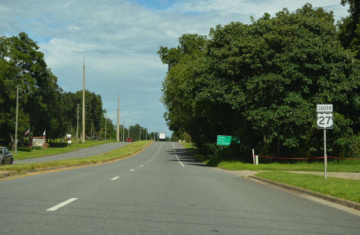
The 228 miles to St. Petersburg references U.S. 19 south from U.S. 27 at Perry to U.S. 19 ALT (5th Avenue N).
07/27/22
An S-curve precedes Capps along U.S. 27 southbound.
07/27/22
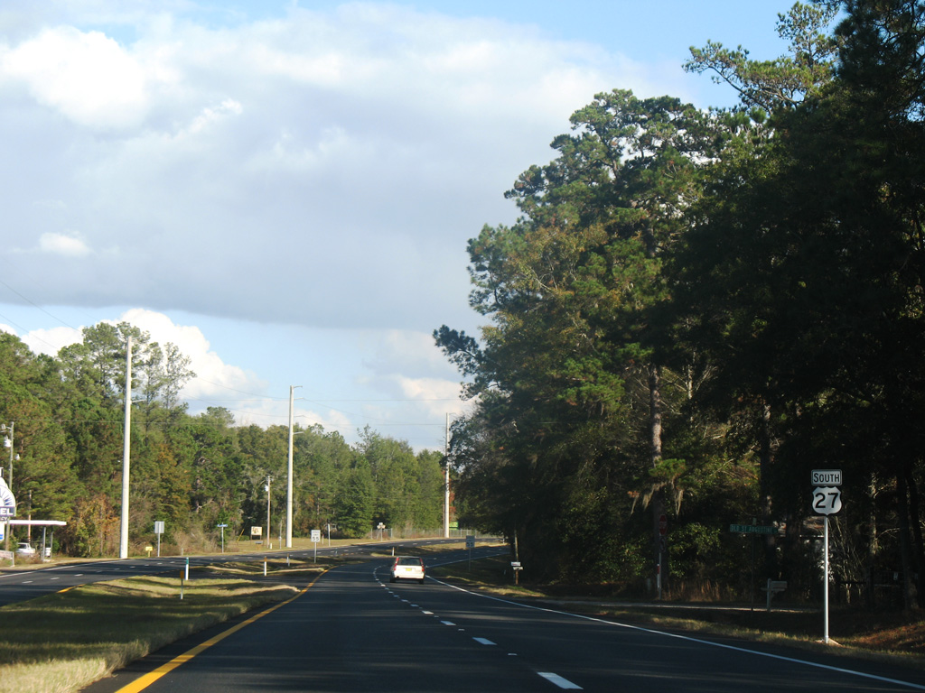
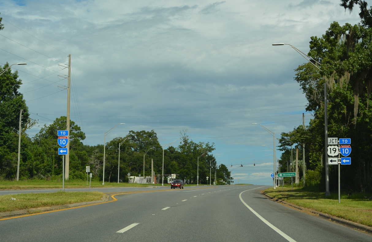
U.S. 19 converges with U.S. 27 south 4.7 miles from Interstate 10.
07/27/22
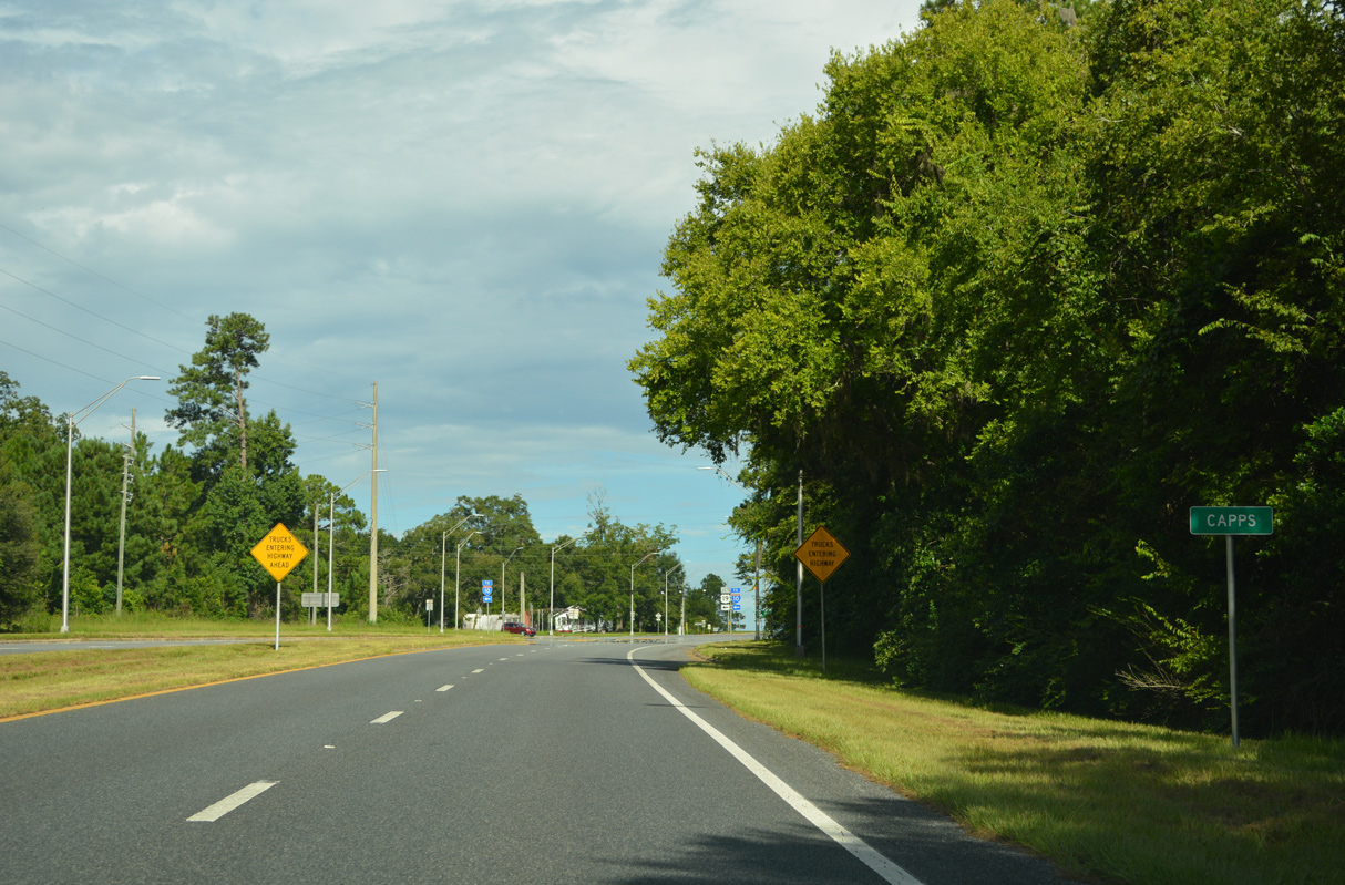
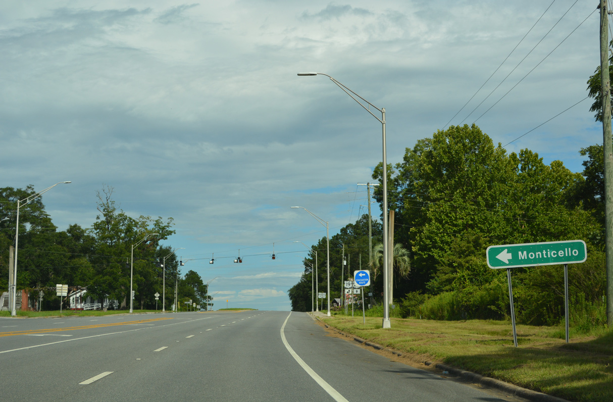
Capps is an unincorporated community where U.S. 19/27 come together.
07/27/22
U.S. 19 travels 9.7 miles north from U.S. 27 to Courthouse Circle in Monticello.
07/27/22
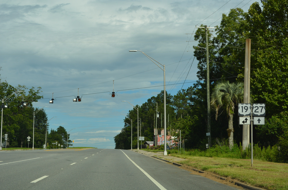
U.S. 19/27 overlap 29.19 miles southeast from Capps to U.S. 98/221/27 ALT in Perry.
07/27/22
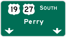
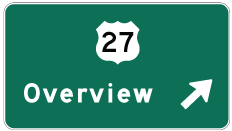
Photo Credits:
- Alex Nitzman, JP Nasiatka: 07/27/22
- Alex Nitzman: 05/07/15, 05/12/15, 07/27/22
- AARoads: 12/11/07
Connect with:
Page Updated Friday July 28, 2023.