
U.S. 30 West - Clinton to De Witt
 West
West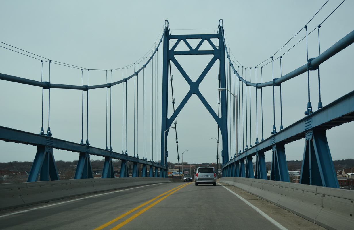
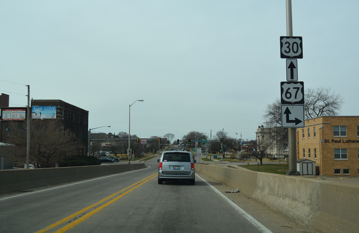
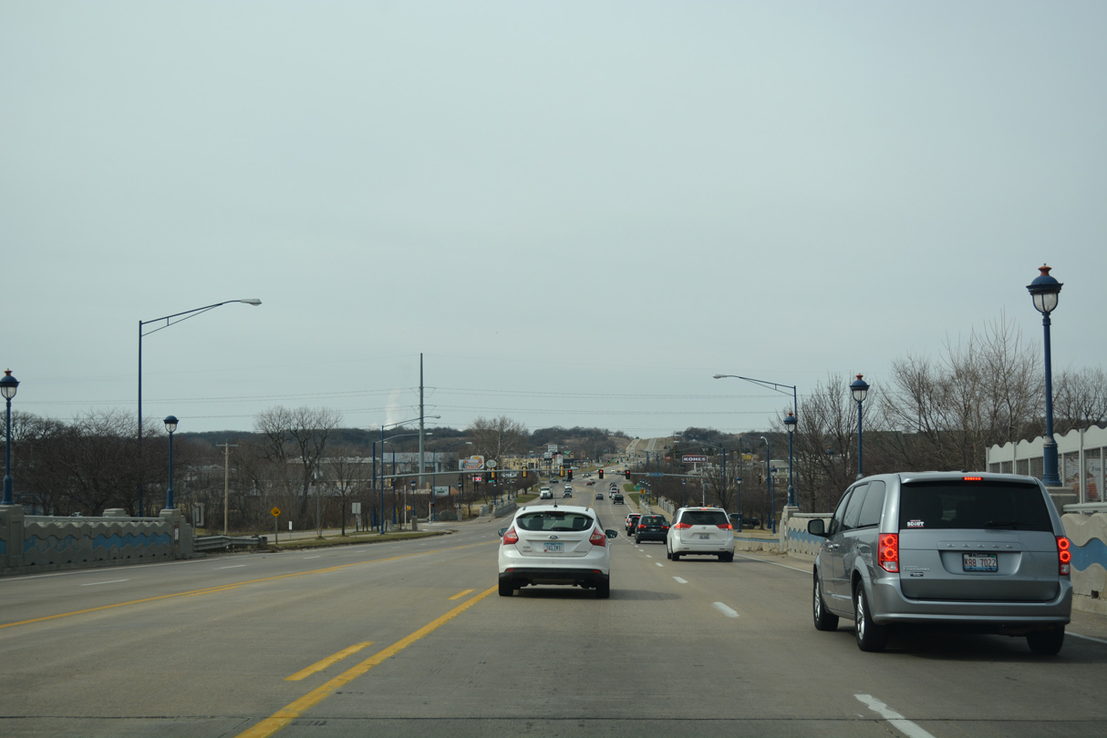
Nearing the west banks of the Mississippi River, motorists along U.S. 30 lower from the Gateway Bridge toward the Clinton street grid.
03/12/17
U.S. 30 passes over 2nd Street just ahead of the intersection of 8th Avenue and 3rd Street (U.S. 67 north). U.S. 67 partitions into a one way couplet, with southbound taking 7th Avenue west from 3rd Street to 4th Street.
03/12/17
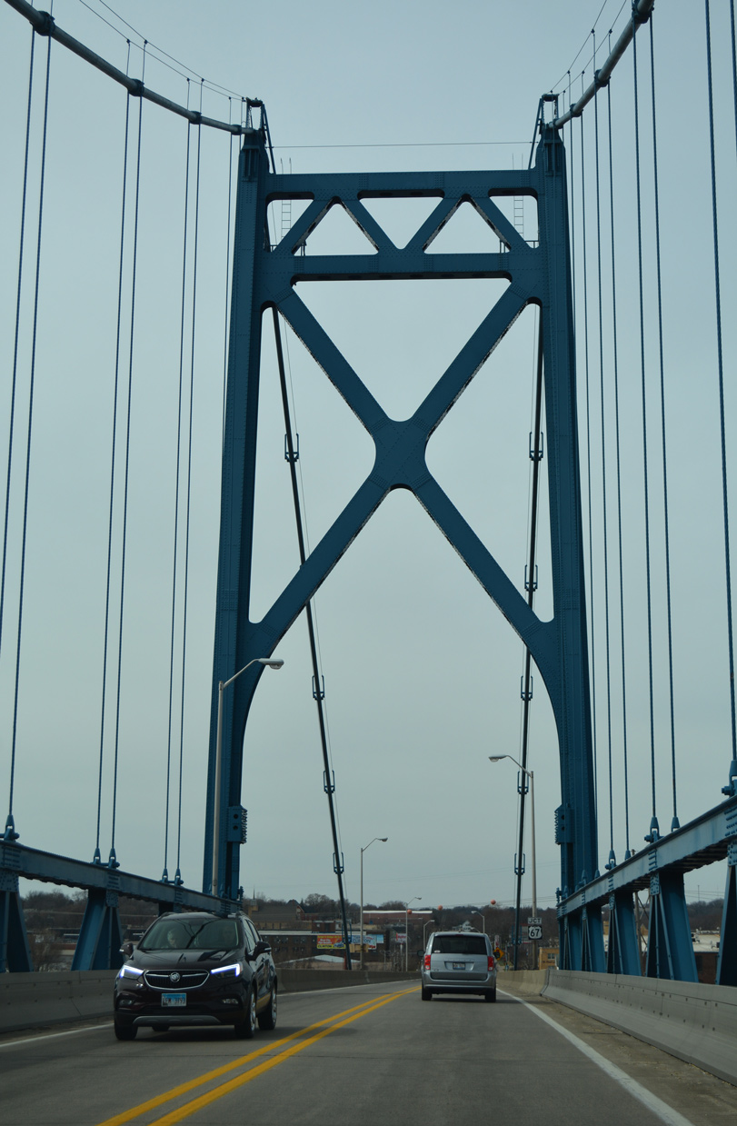
Nearing the west banks of the Mississippi River, motorists along U.S. 30 lower from the Gateway Bridge toward the Clinton street grid.
03/12/17
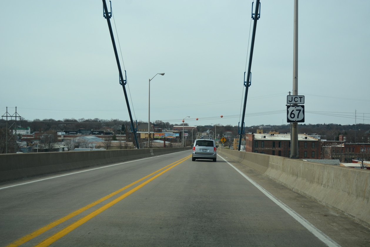
U.S. 30 (8th Avenue) meets U.S. 67 (3rd Street) north. U.S. 67 northbound takes 3rd Street one block north to rejoin southbound along 7th Avenue east to 2nd Street. Continuing north through Downtown Clinton, U.S. 67 (2nd Street) merges with Iowa 136 at the Mark Morris Memorial Bridge in 1.9 miles.
03/12/17
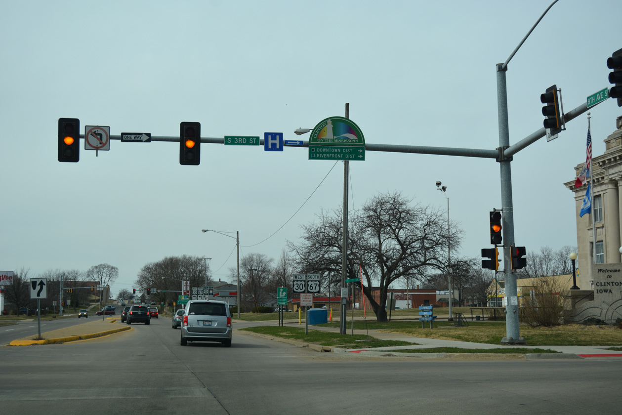
3rd Street north from U.S. 30 connects drivers from the Gateway Bridge with both the Downtown and Riverfront Districts of Clinton. The street carries U.S. 30 east and U.S. 67 north from Liberty Avenue as part of their shared alignment between Camanche and Clinton.
03/12/17
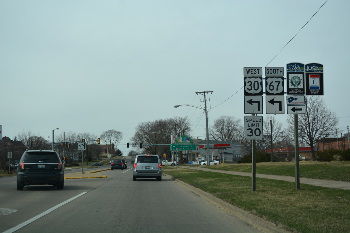
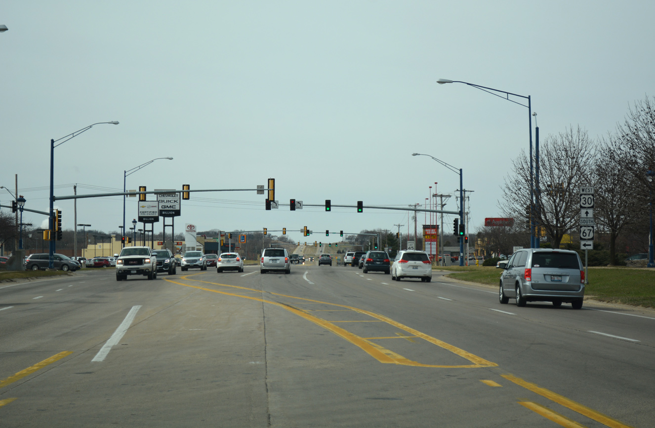
Passing by a shopping center entrance, westbound U.S. 30 (8th Avenue) approaches the turn onto South 4th Street. U.S. 30 combines with U.S. 67 south here for a 3.2 mile overlap.
03/12/17
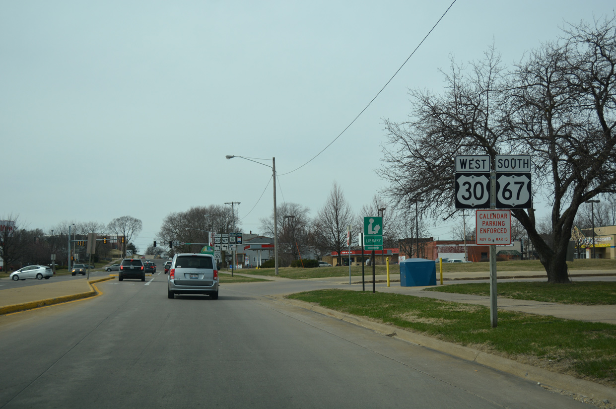
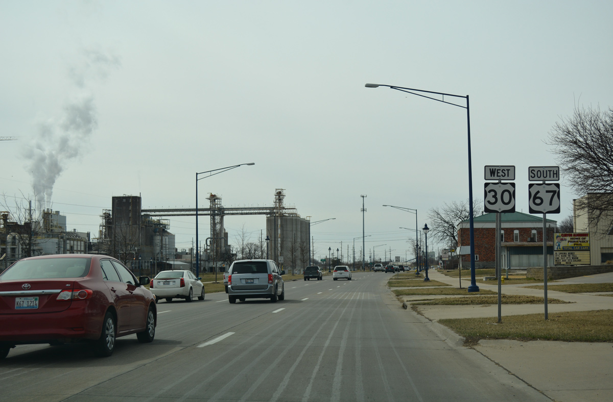
Although not yet officially overlapped with U.S. 67 south, this reassurance assembly for U.S. 30 west includes U.S. 67 for continuity purposes for travelers entering Clinton from Illinois.
03/12/17
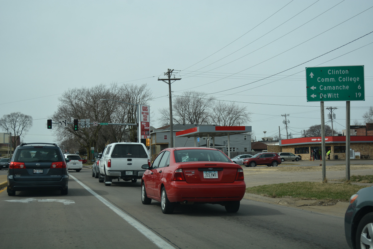
Camanche is six miles to the southwest via U.S. 67; DeWitt is a 19 mile drive west along U.S. 30 from Clinton.
03/12/17
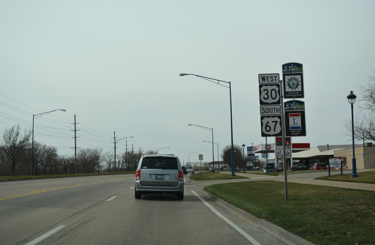
U.S. 30 west and U.S. 67 south connect the Downtown District with the Lincolnway and Mill Creek Districts of southwest Clinton. 8th Avenue west continues to Clinton Community College and Bluff Boulevard.
03/12/17
West  South
South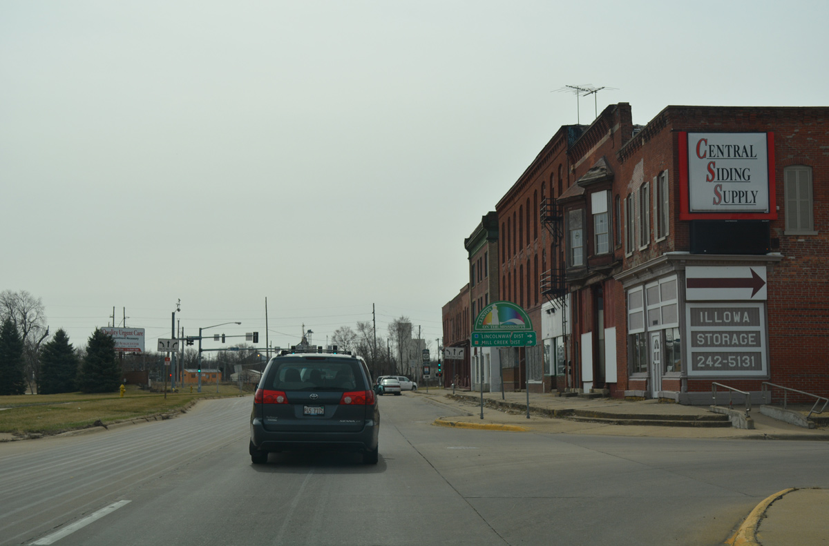
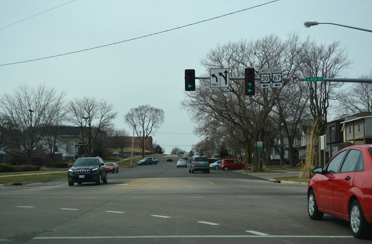
U.S. 30 west and U.S. 67 south combine along S 4th Street for three blocks. while the opposite directions utilize S 3rd Street to the east.
03/12/17
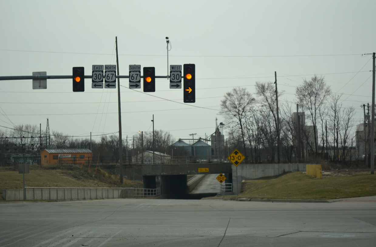
U.S. 30/67 turn west onto 11th Avenue South, which transitions into Lincoln Way nearby. S 4th Street extends into a subway below the Union Pacific Railroad to an industrial area along the Mississippi River.
03/12/17
Reassurance markers posted along Lincoln Way south after 15th Avenue South. A $15.4 million project to June 2009 rebuilt U.S. 30/67 along Liberty Avenue between South 4th Street and 25th Place. 1 Subsequent work in 2012 focused on improving Lincoln Way, adding a multi-use trail and street scaping as part of a $2.7 million TIGER IV grant.2
03/12/17
U.S. 30 west and U.S. 67 south widen into a five lane commercial boulevard beyond the intersection with 14th Street.
03/12/17
U.S. 30/67 elevate above a Union Pacific Railroad spur on a 2000-built bridge preceding Harrison Drive.
03/12/17
Additional big box retail lies at the north side of the U.S. 30/67 split adjacent to Valley West Court. Beyond the succeeding two traffic lights, U.S. 30 upgrades into expressway en route to De Witt while U.S. 67 resumes as a four lane arterial southwest toward the Quad Cities.
03/12/17
West  North
North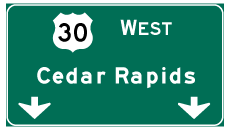
References:
- "Clinton Road Reconstruction Project."
https://www.constructionequipment.com/clinton-road-reconstruction-projectconstructionequipment.com, November 9, 2009. - "Clinton lands TIGER grant." Clinton Herald (IA), June 20, 2012.
- US 30. - Iowa Highways (Jason Hancock).
Photo Credits:
- Alex Nitzman, Bill Gatchel: 03/12/17
Connect with:
Page Updated Wednesday May 16, 2018.