
U.S. 30 West - Whiteside County
 West
West  North
North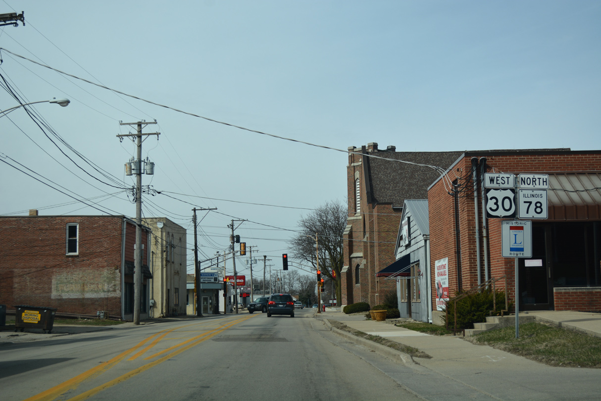
U.S. 30/IL 78 overlap west for 1.5 miles from Cherry Street in Downtown Morrison to Carroll Road beyond Unionville.
03/12/17
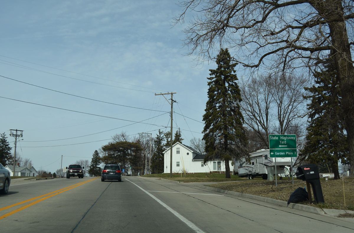
Garden Plain Road branches west from U.S. 30/IL 78 (Lincoln Highway) at Unionville seven miles to the community of Garden Plain.
03/12/17
IL 78 resumes a northward heading from Unionville to Morrison-Rockwood State Park and Mt. Carroll.
03/12/17
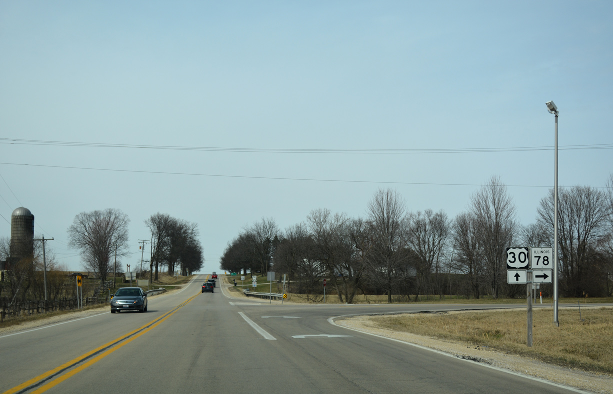
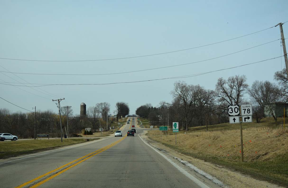
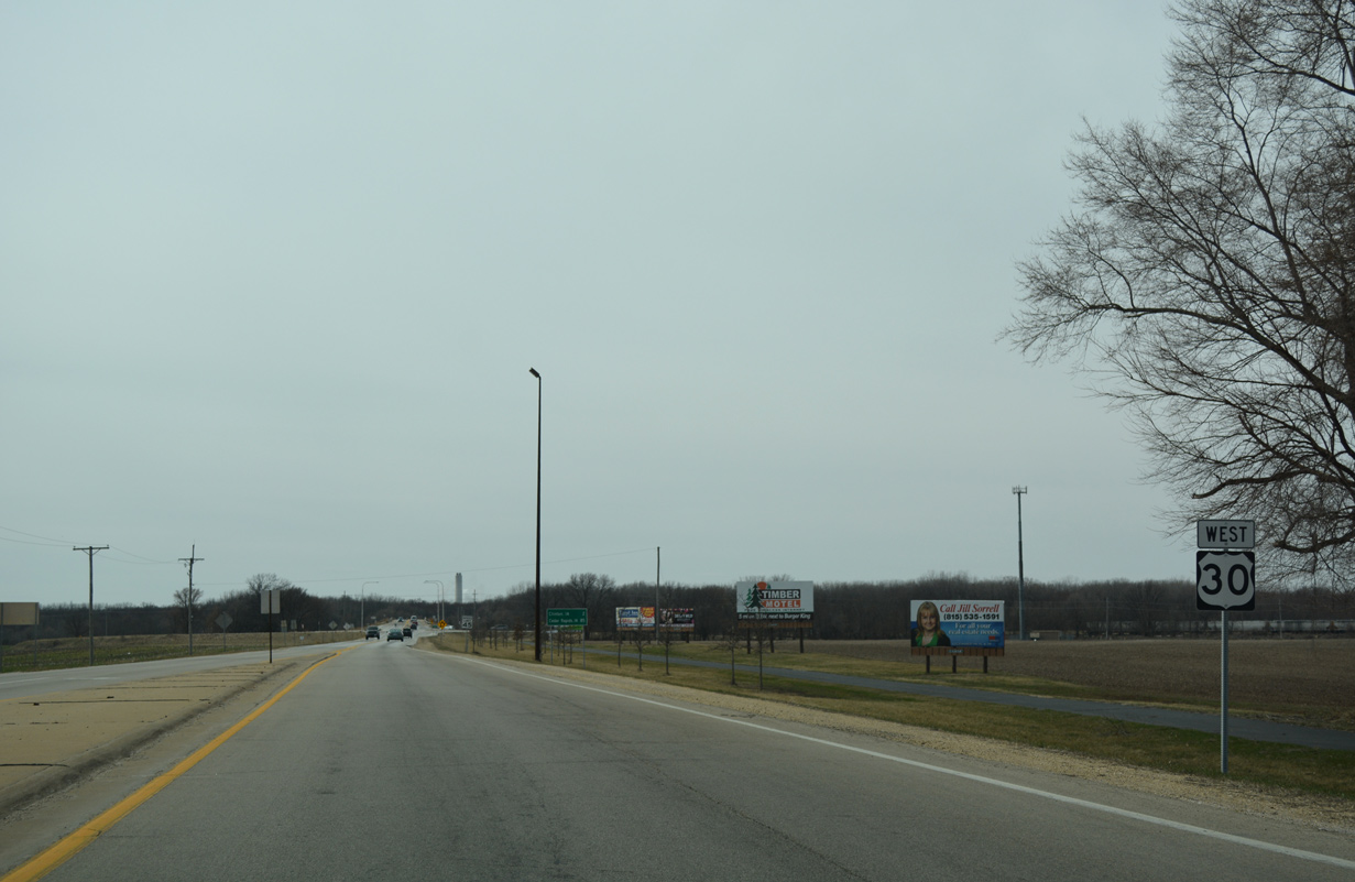
Westbound Lincoln Highway at the split with IL 78. IL 78 travels another 51.8 miles in the state, becoming Wis 78 ahead of Gratiot. U.S. 30 enters Clinton, Iowa via the Gateway Bridge in 11.2 miles.
03/12/17
West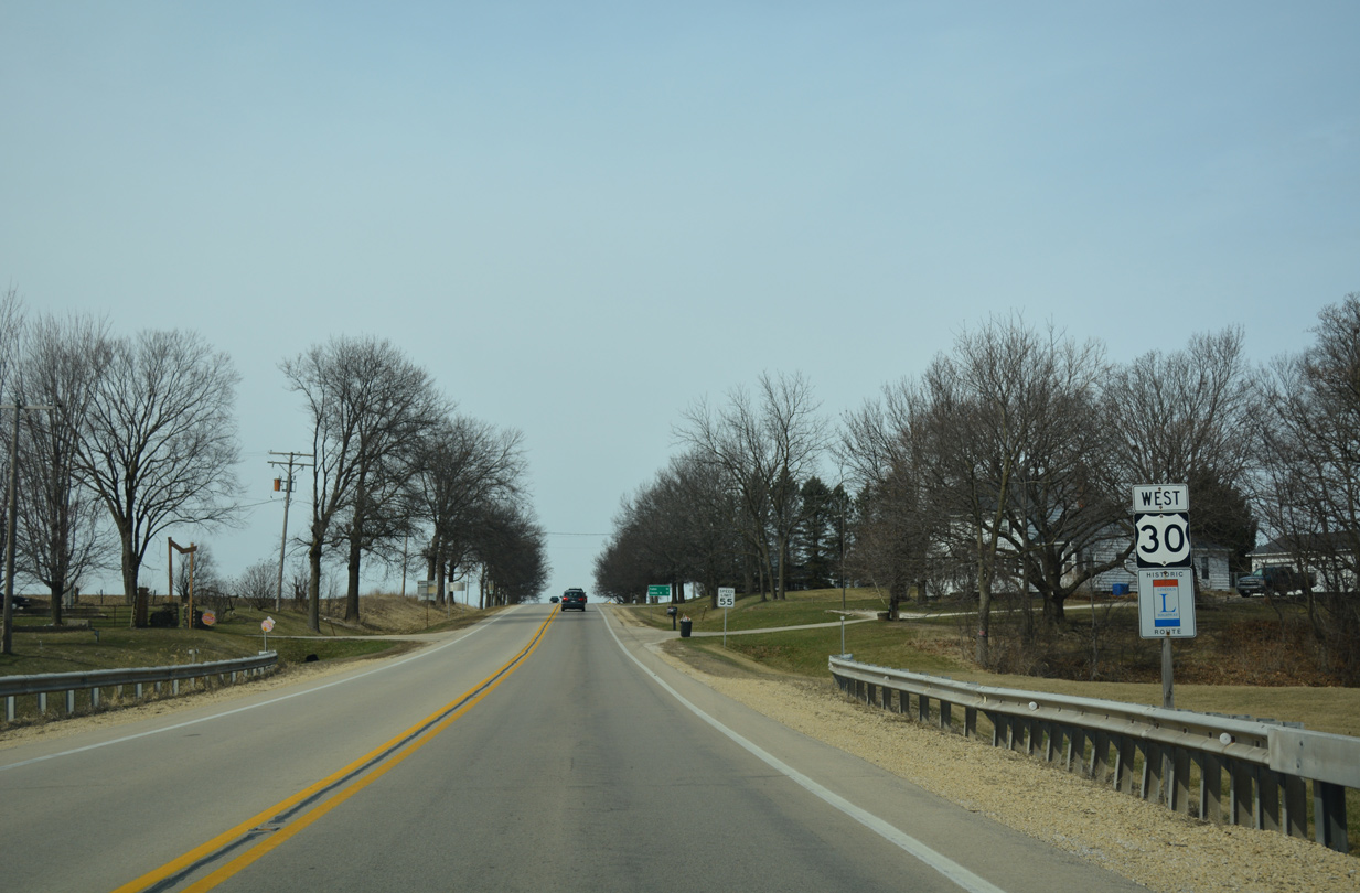
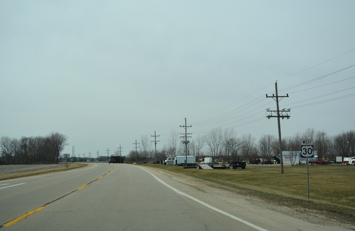
U.S. 30 progresses west from IL 78 (Carroll Road) 2.2 miles to Union Grove.
03/12/17

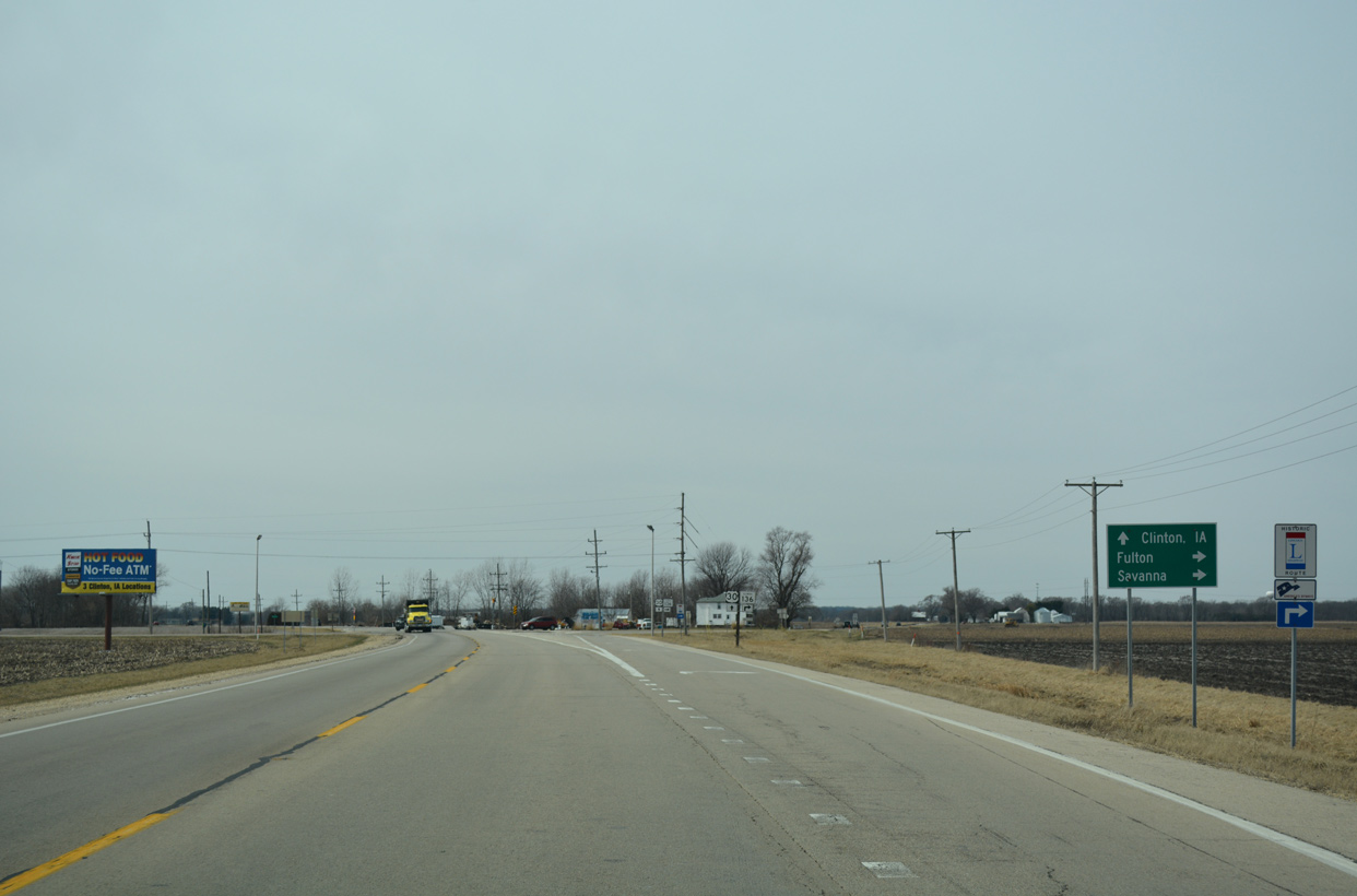
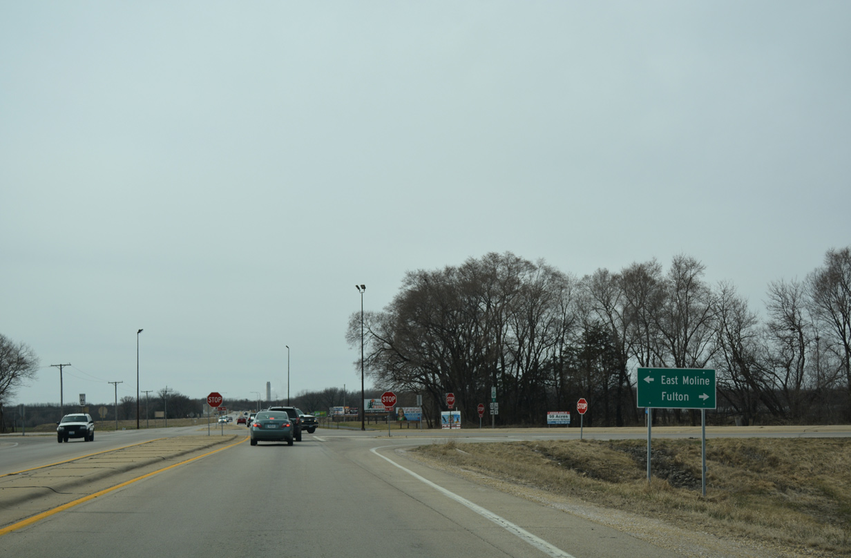
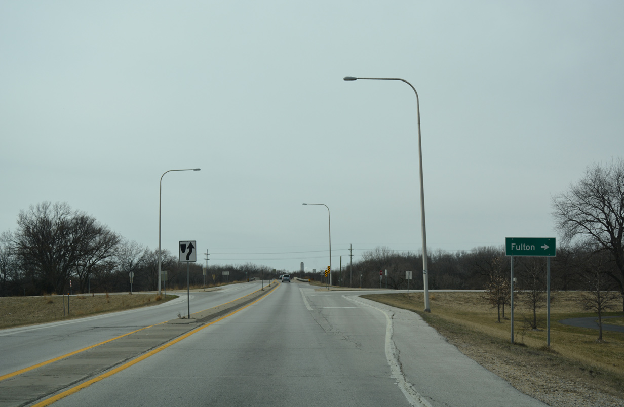
Fulton is a ten mile drive west via U.S. 30 (Lincoln Highway) and IL 136.
03/12/17
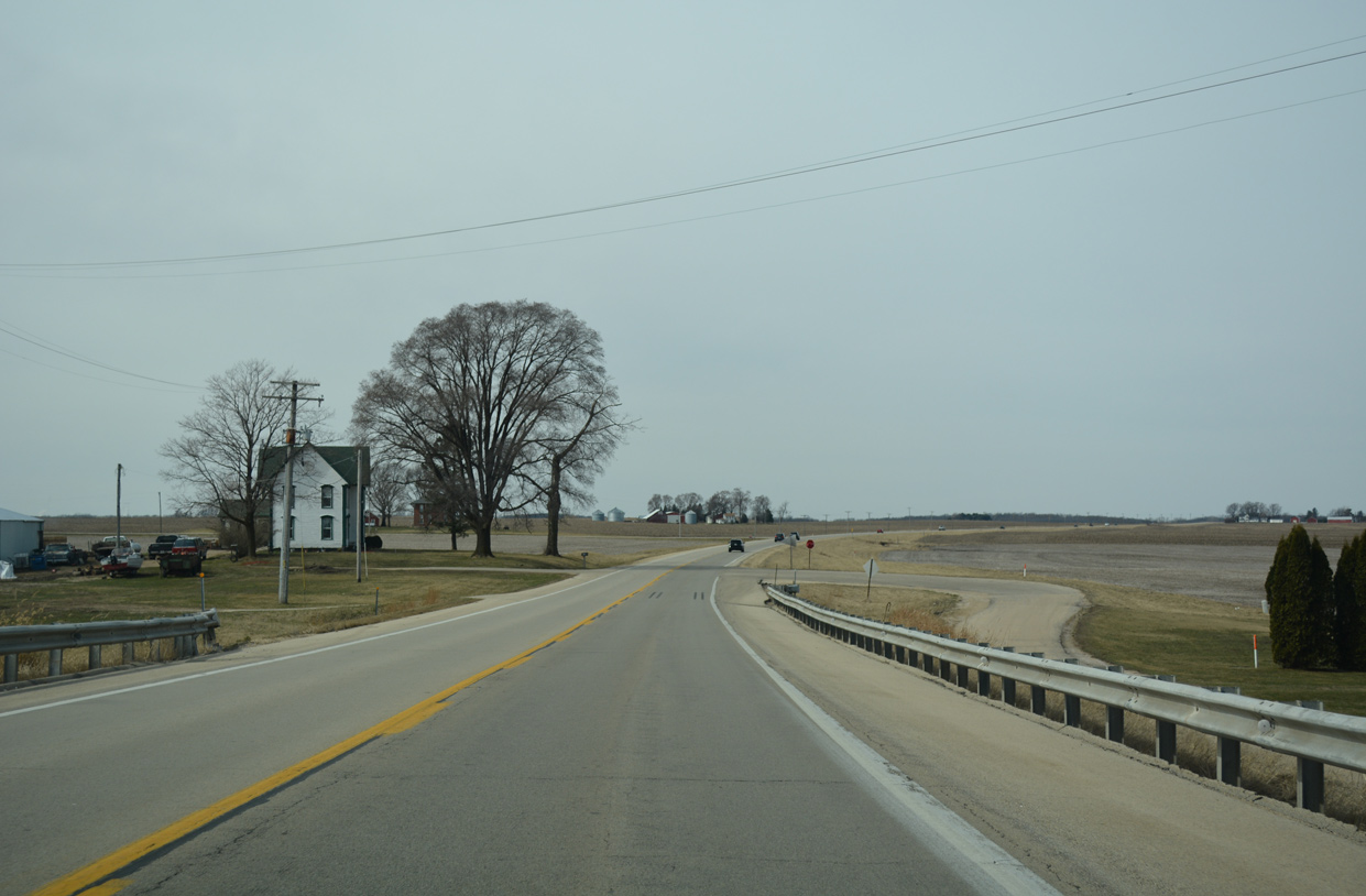
Union Grove lies at the crossroads of U.S. 30 (Lincoln Highway) and County Road 5 (Hillside Road). U.S. 30 spans the Union Pacific Railroad here.
03/12/17

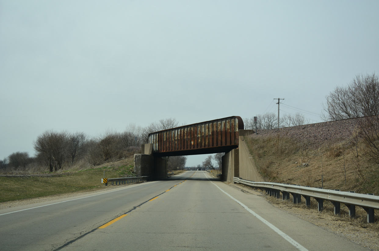
A BNSF Railroad line passes over both U.S. 30 (Lincoln Highway) and the adjacent UP Railroad east of Aker Road on a 1920-built bridge.
03/12/17
West of Aker Road, U.S. 30 and the Union Pacific Railroad switch sides. The railroad span dates to 1957.
03/12/17
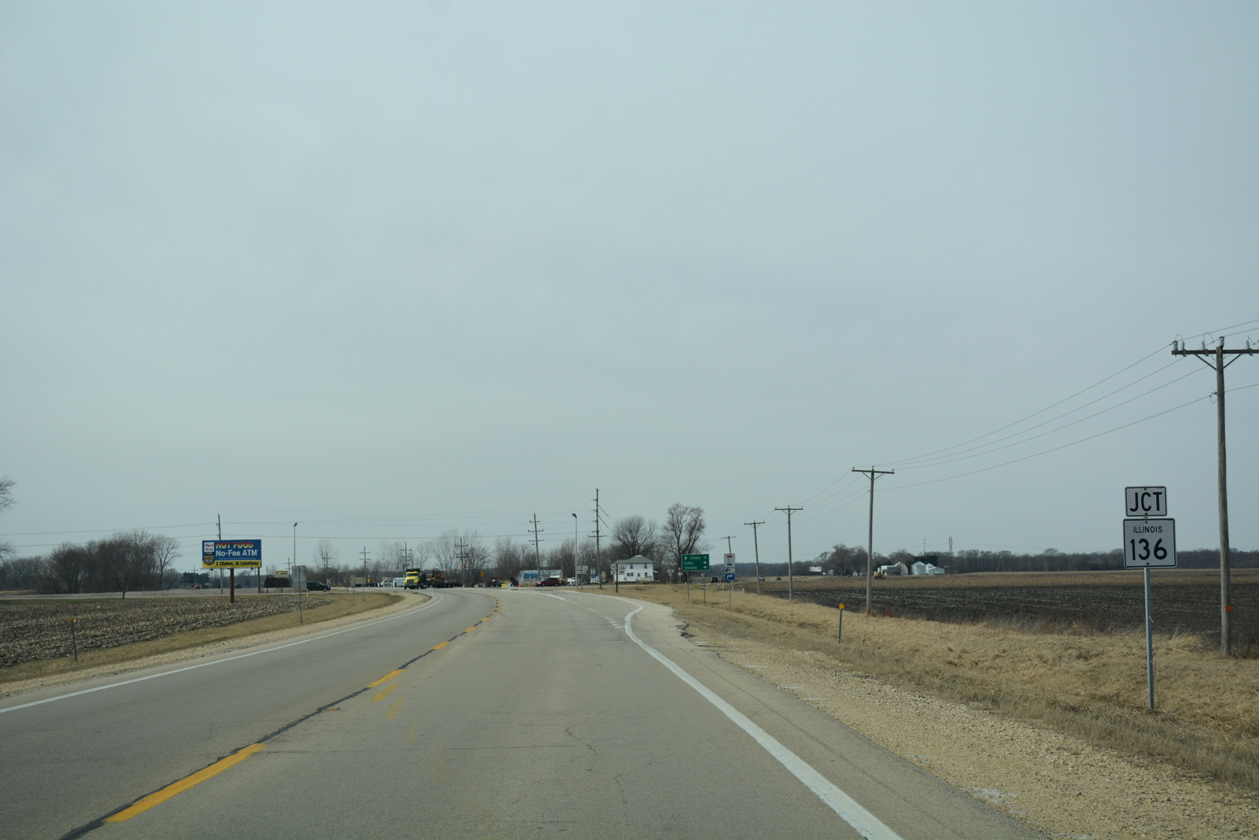
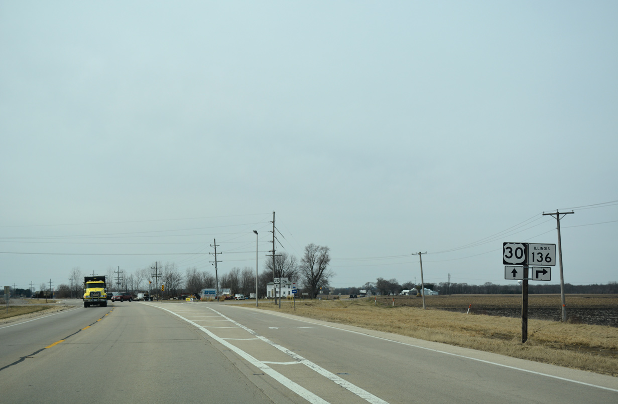
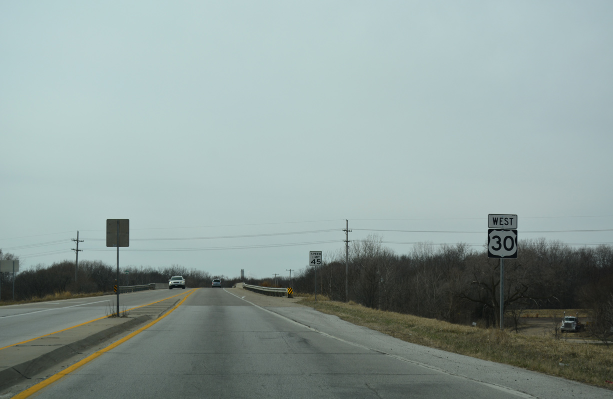
Approaching the separation with IL 136 (Fulton Road) west and County Road 21 (Frog Pond Road) south on U.S. 30 west.
03/12/17
The Lincoln Highway historic route shifts onto IL 136 west to Fulton and and the north side of Clinton, Iowa.
03/12/17
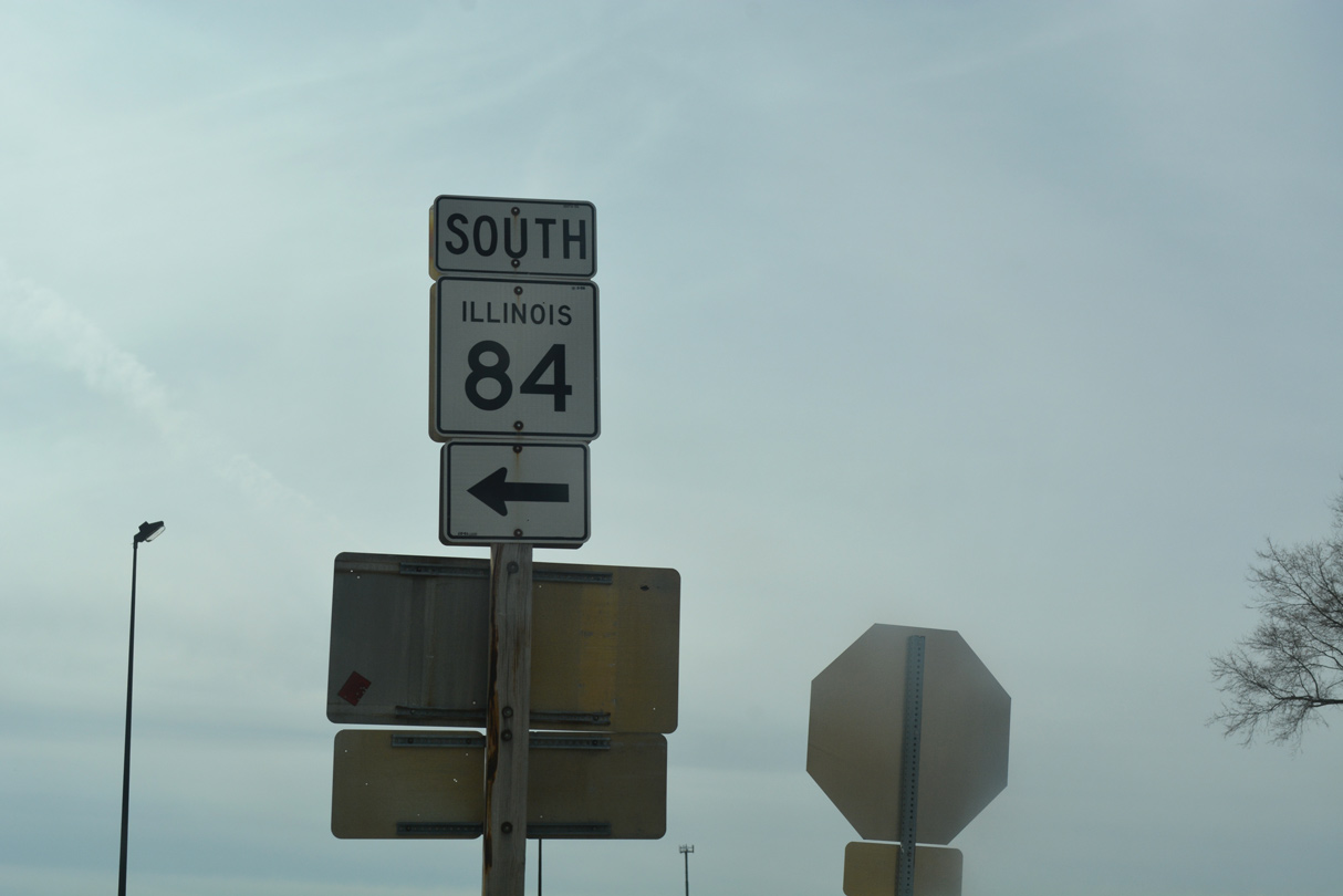
IL 136 provides a cut off from U.S. 30 west to IL 84 / Great River Road north to Savanna (U.S. 52 / IL 64).
03/12/17

IL 136 represents the easternmost extent of a 101 mile long multi state route with Iowa 136 west from Fulton to Wyoming and north to Cascade and U.S. 52 at Luxemburg.
03/12/17
CR 21 (Frog Pond Road) stems four miles south from U.S. 30 to Garden Plain Road ahead of this confirming marker.
03/12/17
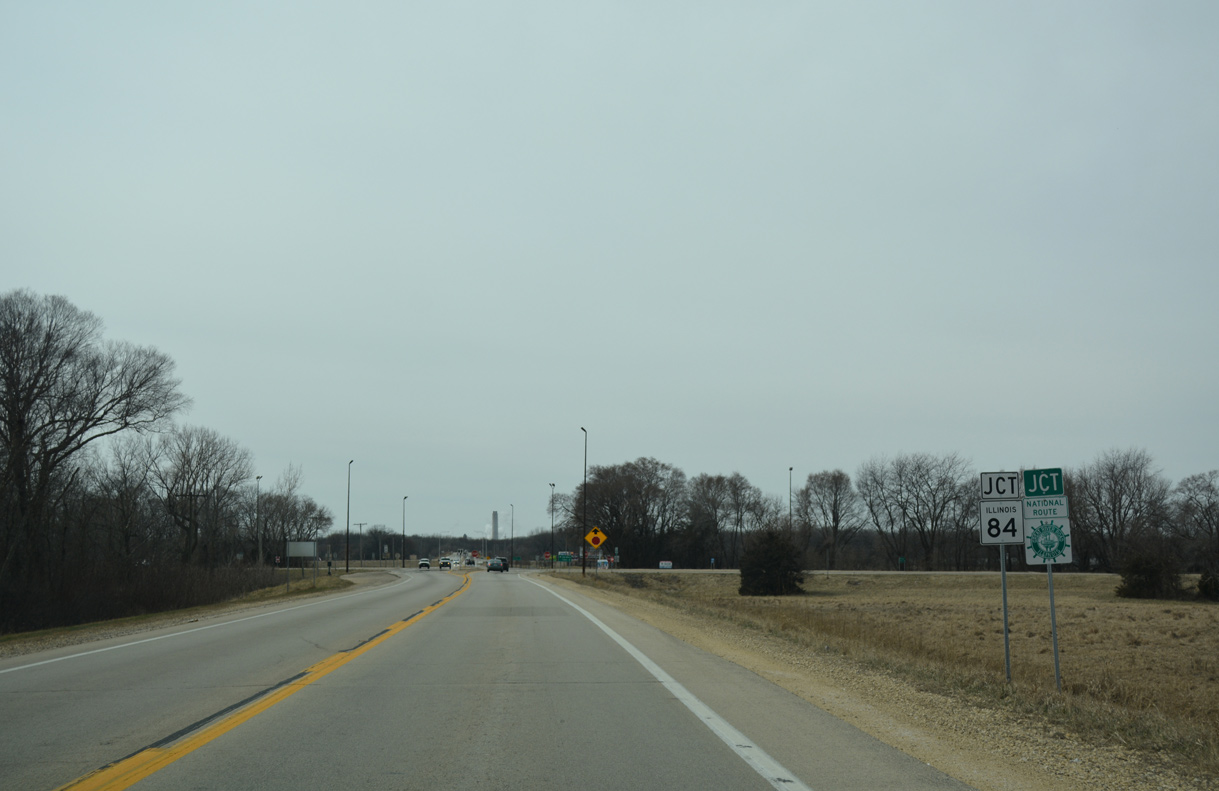
Trending southward from IL 136, U.S. 30 converges with IL 84 (Great River Road) on the southeast side of the Fulton city limits. IL 84 bypasses most of Fulton north to Cattail Slough.
03/12/17
IL 84 goes for 95 miles from Colona and the Quad Cities area north to U.S. 30 at East Clinton. Beyond Fulton, the state route and Great River Road straddle the Mississippi River to Savanna and Mississippi Palisades State Park. IL 84 ends as Wis 80 north of Galena.
03/12/17
A reassurance marker for U.S. 30 west follows the intersection with IL 84 at East Clinton.
03/12/17
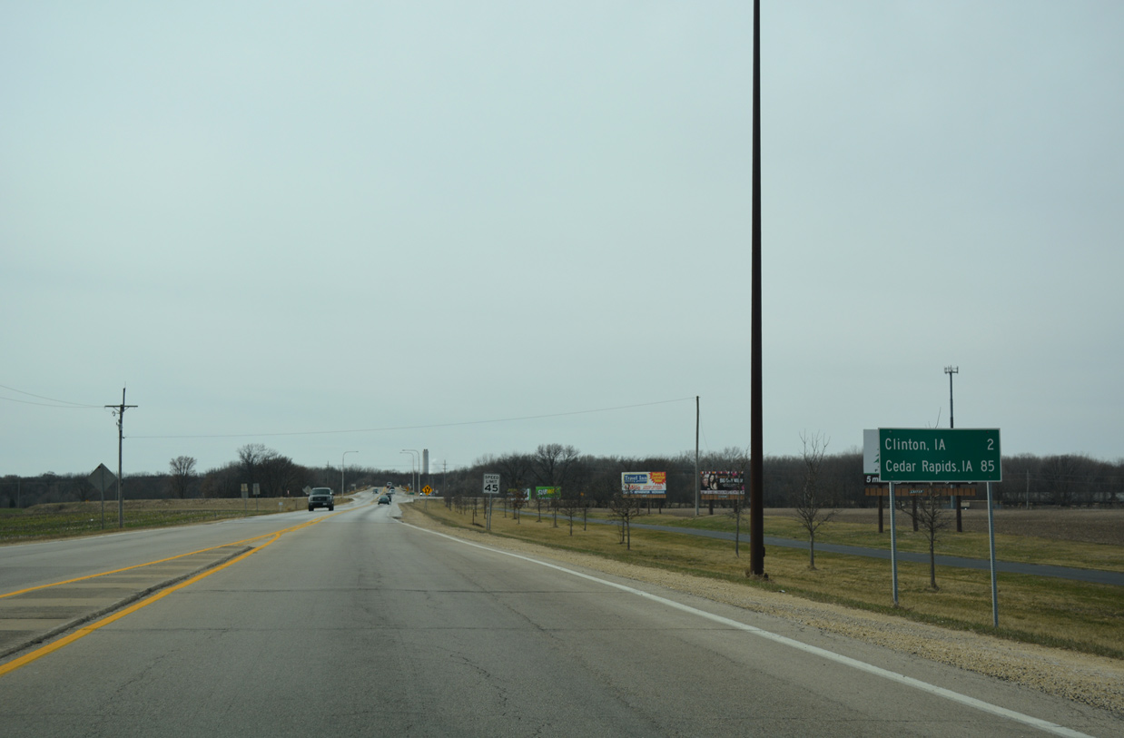
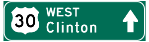
U.S. 30 travels two miles from IL 84 into Downtown Clinton and 85 miles to Cedar Rapids, Iowa.
03/12/17
A pair of right in right out (RIRO) ramps connect U.S. 30 with County Road 36 ahead of the Gateway Bridge into Iowa. CR 36 leads north from East Clinton to become 4th Street through Fulton.
03/12/17
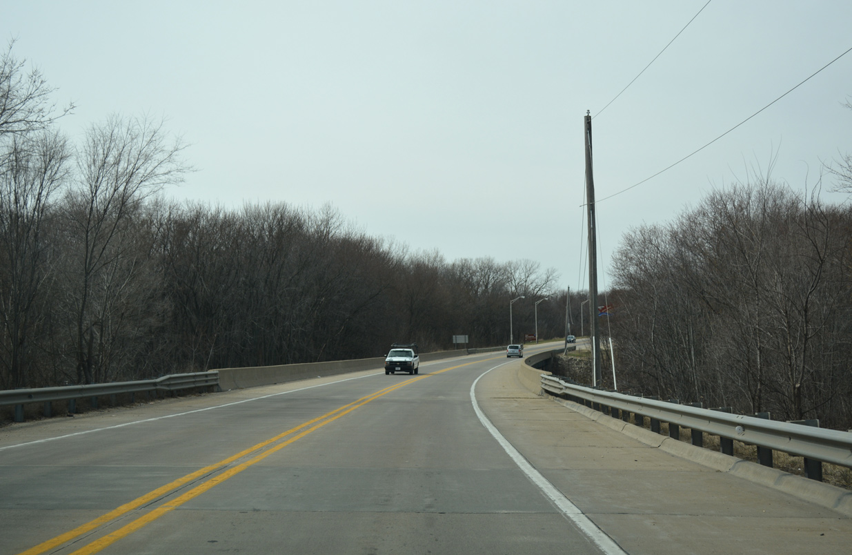
Spanning a Union Pacific Railroad, drivers pass by the final shield for U.S. 30 west in Illinois.
03/12/17
Entering the Upper Mississippi River National Wildlife Fish Refuge, U.S. 30 crosses Sunfish Slough on the approach to the Gateway Bridge.
03/12/17
A toll plaza collected fares for the Gateway Bridge at this location on U.S. 30 preceding the span. Tolling ceasing on December 17, 1982.1
03/12/17
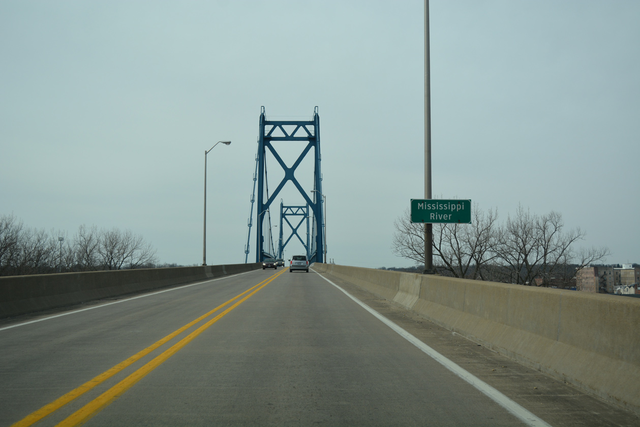
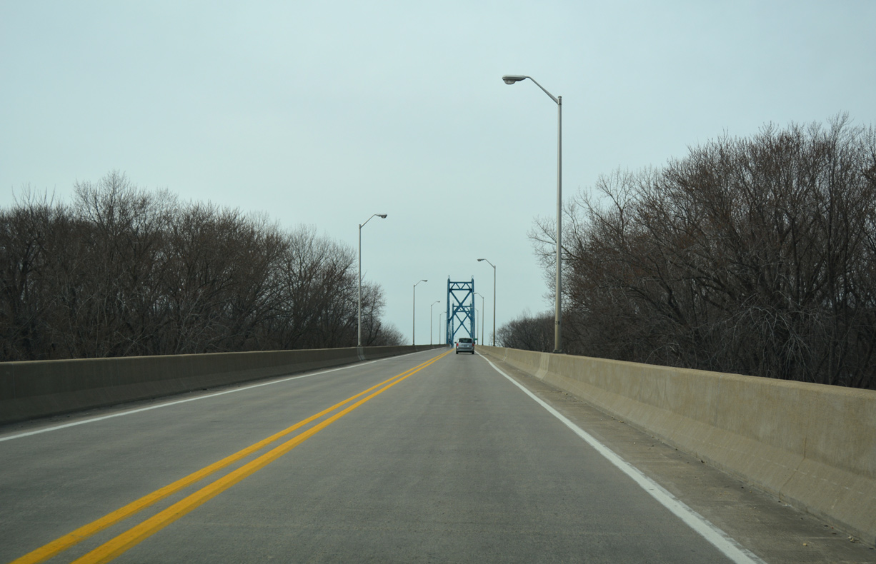
The Gateway Bridge consists of a narrow suspension bridge with two travels lanes on a 30 foot deck.2 The bridge was constructed from August 1954 to May 1956.3
03/12/17
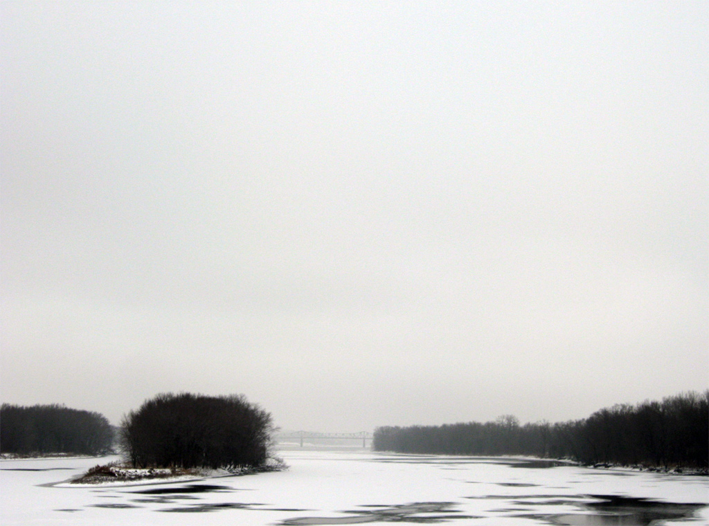
Looking northward at the icy Mississippi River from the Gateway Bridge. Northern reaches of Willow Island rise to the left with the Lyons-Fulton Bridge (MSR 136) appearing further back.
12/21/09
The Mississippi River flows around Little Rock and Willow Islands below the Gateway Bridge.
03/12/17

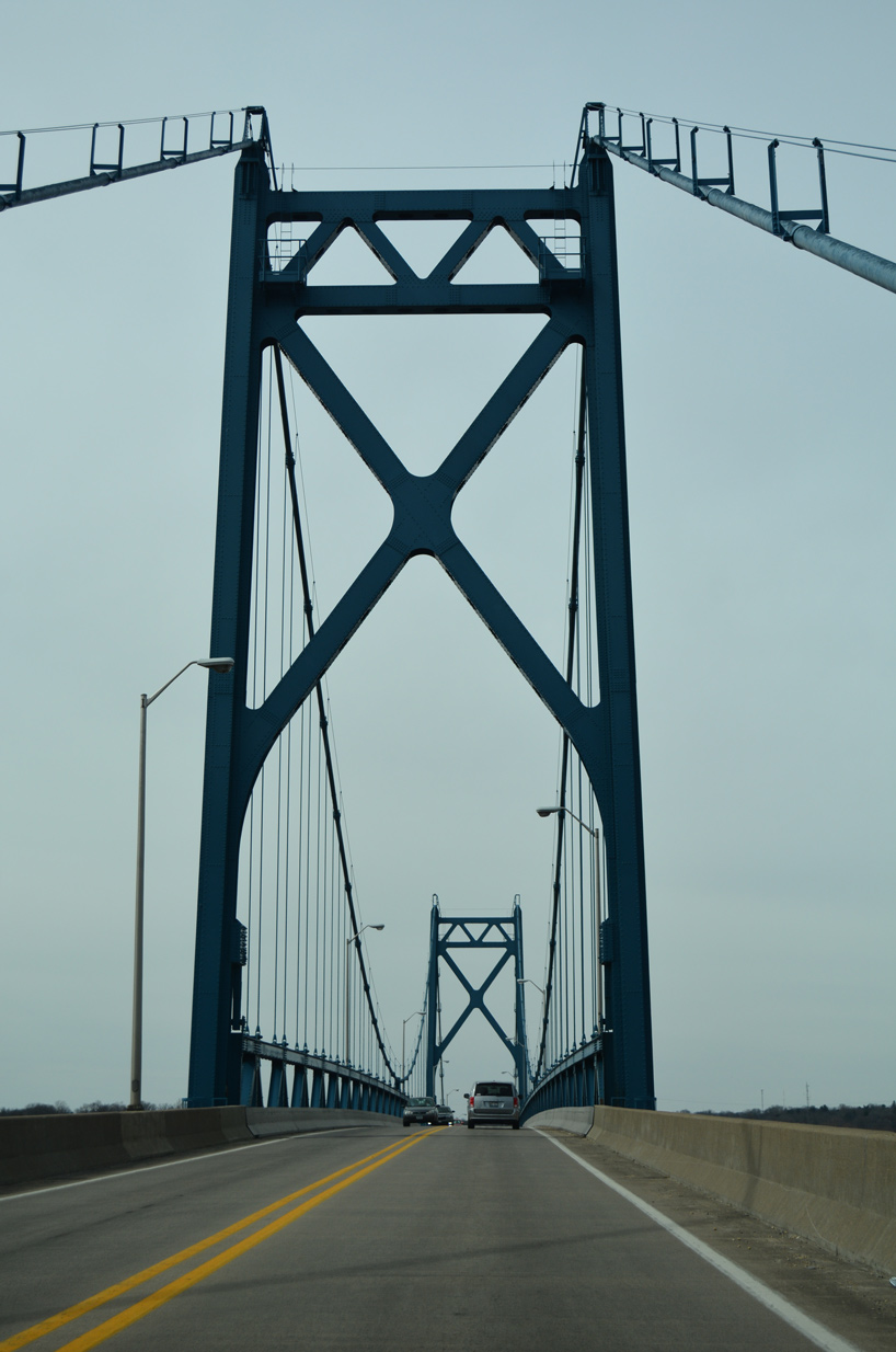
Passing under the east tower of the Gateway Bridge. The suspension bridge peaks at a height of 70 feet above the river and at a length of 4,166 feet.2
03/12/17
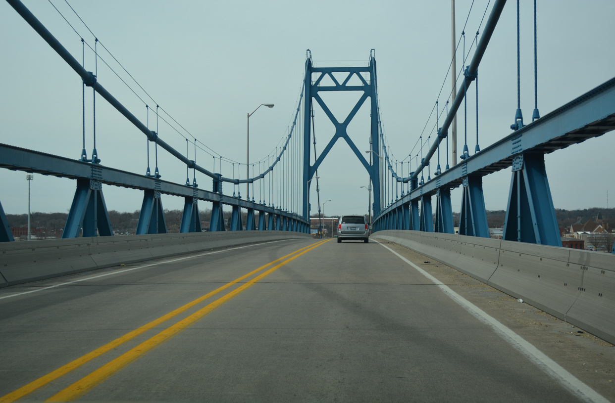
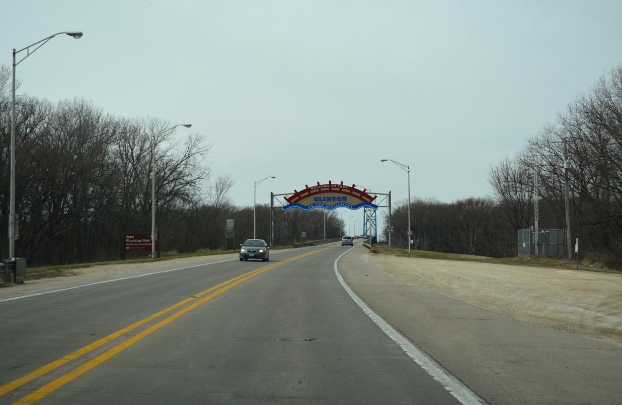
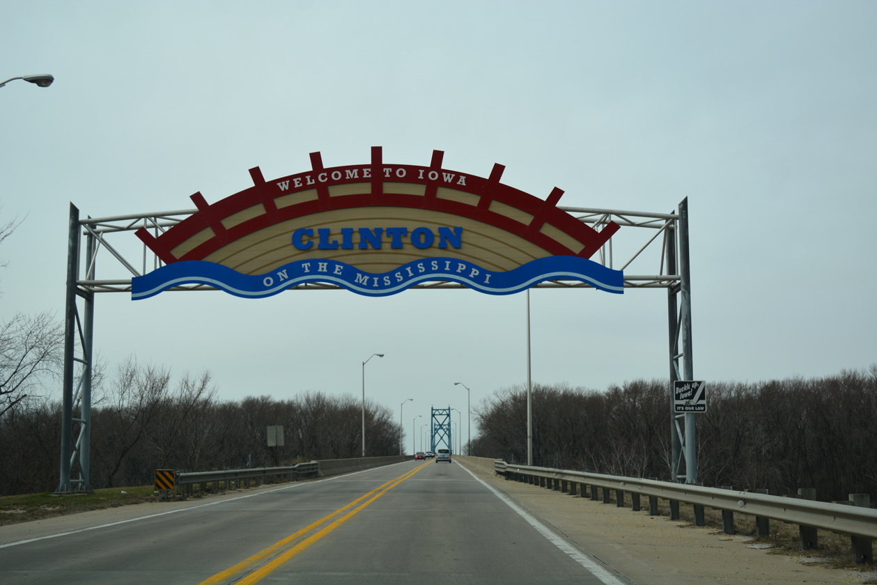
U.S. 30 enters Clinton County, Iowa midway between the two Gateway Bridge towers.
03/12/17
References:
- US 30 - Iowa Highways Page (Jason Hancock).
- Gateway Bridge @ johnweeks.com.
- "A glimpse of Clinton in the past." Clinton Herald (IA), December 30, 2013.
Photo Credits:
- Alex Nitzman, Bill Gatchel: 03/12/17
- Alex Nitzman: 12/21/09, 03/12/17
Connect with:
Page Updated Saturday April 01, 2017.