
U.S. 31 North - Bay Minette to Atmore

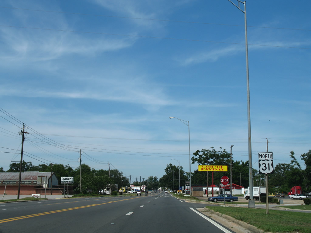
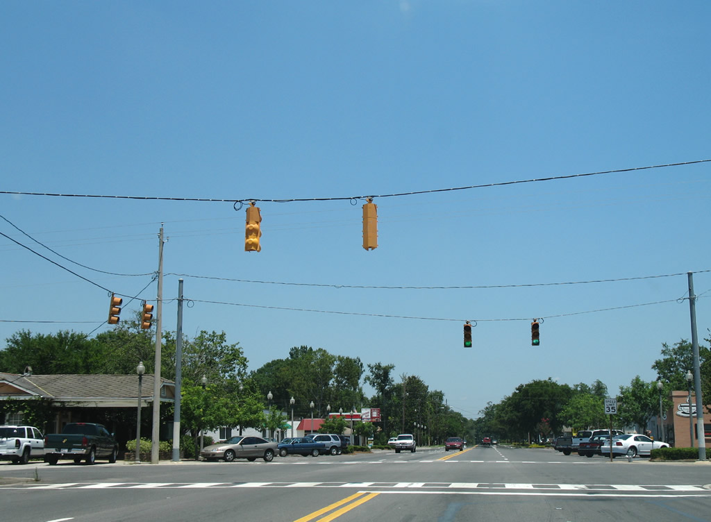
D'Olive Street constitutes a five lane boulevard east from SR 59 (McMeans Avenue) 0.6 miles to Downtown Bay Minette.
06/06/06
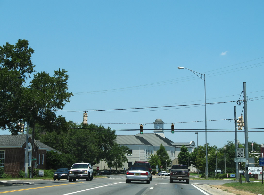
The Baldwin County Courthouse appears beyond the signalized intersection with Hall Avenue at Downtown Bay Minette.
06/05/06
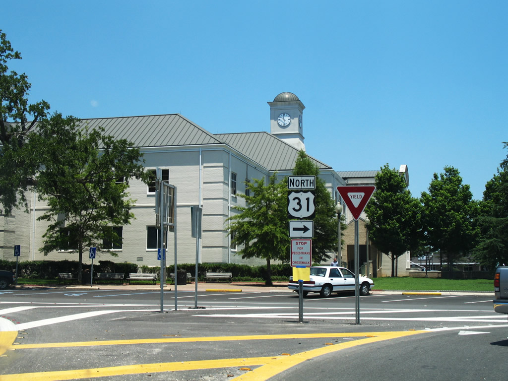
Like many southern Alabama county seats, Bay Minette includes a town square at its city center. U.S. 31 follows Courthouse Square eastbound between D'Olive Street and E 2nd Street. SR 287 ties into the north side of the square at Hand Avenue.
06/05/06
U.S. 31 turns onto E 2nd Street from Courthouse Square north ahead of SR 287. SR 287 is a 6.25 mile long route following Hand Avenue north to SR 59 and Gulf Shores Parkway northeast to I-65 at CR 47.
06/05/06
Hoyle Avenue intersects U.S. 31 (E 2nd Street) a half block beyond Courthouse Square. Unmarked, Hoyle Avenue is part of CR 57 south to Brady Road N Extension across from Nicholsville Road (CR 40).
06/05/06
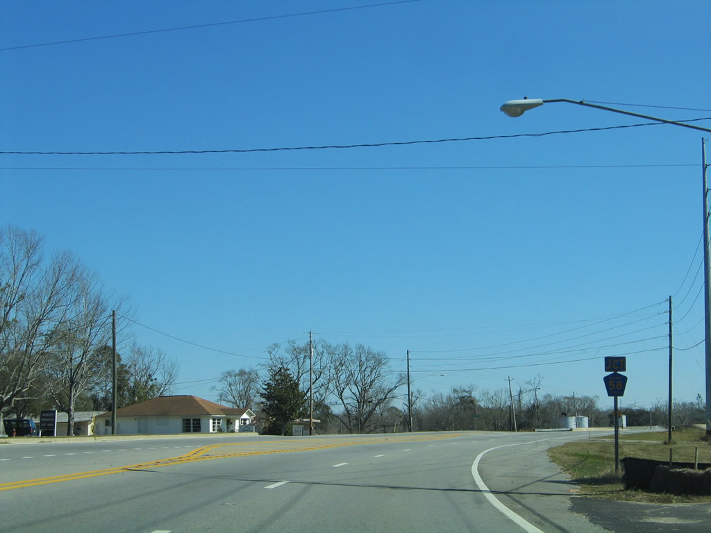
U.S. 31 (E 2nd Street) shifts northward through an S-curve to CR 58 (Rockhill Road) north by a CSX Railroad underpass.
02/08/06
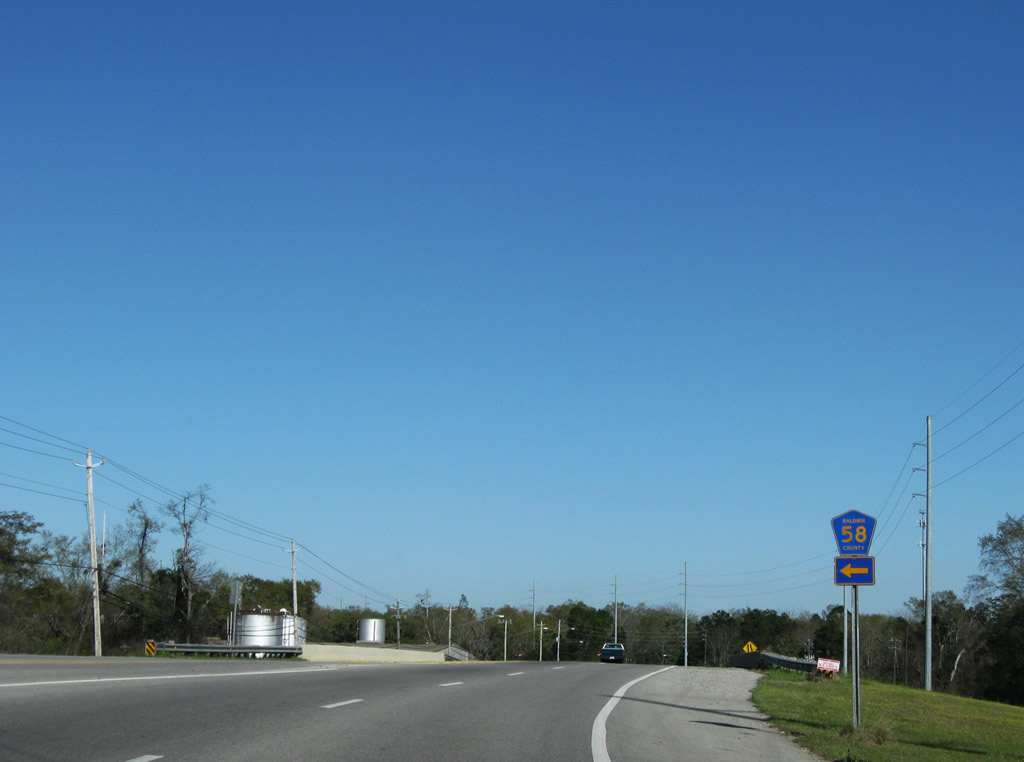
Serving a handful of residences, CR 58 spurs 0.9 miles north along Rockhill Road to Lee Avenue.
03/20/09
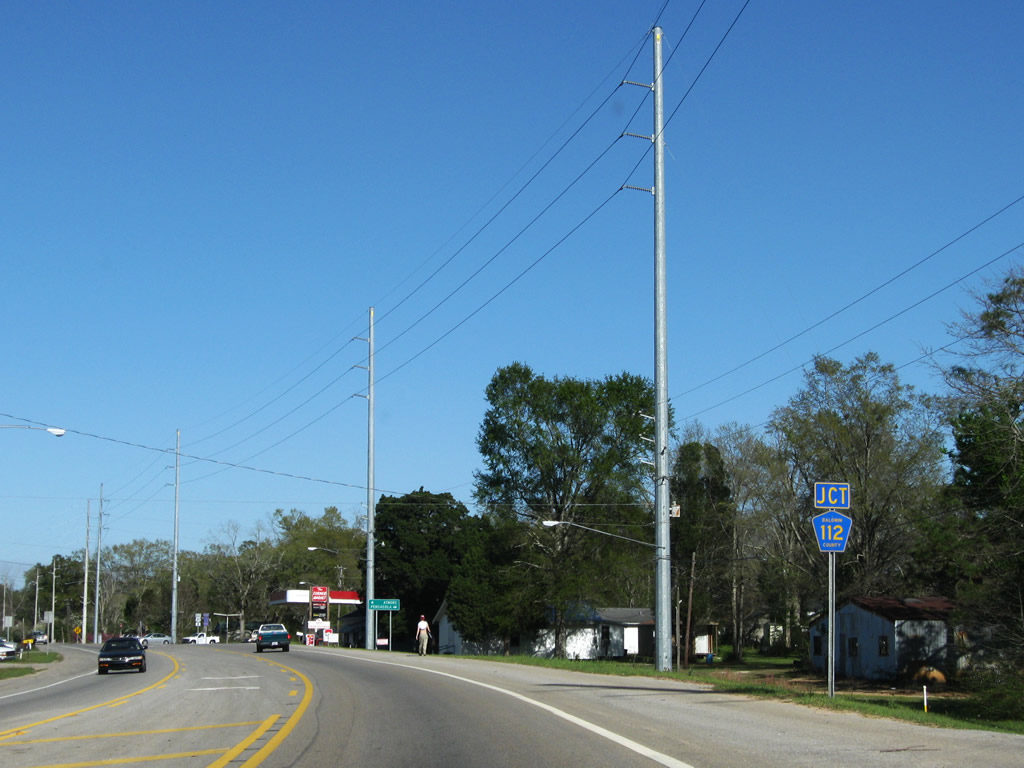
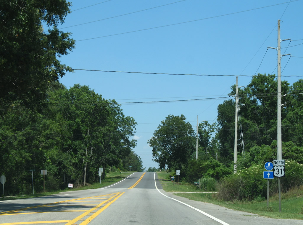
CR 112 (Old Pensacola Road) branches east from U.S. 31 just ahead of the Bay Minette city line. Baldwin County took over maintenance along Old Pensacola Road from ALDOT in July 2004.
03/20/09
CR 112 (Old Pensacola Road) travels 30.20 miles southeast through large tracts of pine forest to Gateswood and Escambia, County, Florida at Muscogee.
06/05/06
A mileage swap between ALDOT and Baldwin County eliminated SR 112 in favor or extending SR 181 south along CR 27 from Malbis to U.S. 98 near Weeks Bay. Signs for SR 112 were switched to CR 112 by early 2006.
06/14/04

CR 112 (Old Pensacola Road) east becomes Escambia County Route 184 at the Perdido River. CR 184 connects with CR 99 south to I-10 and U.S. 29 at Cantonment.
03/20/09
U.S. 31 north vacates the Bay Minette city limits at Crosby Mill Road.
06/05/06
U.S. 31 lowers from an elevation of 245 feet above sea level at Old Carney Road to McCurlin Creek.
06/05/06

CR 61 (Phillipsville Road) stems south from U.S. 31 to Phillipsville and CR 112 near Hollinger Creek.
02/08/06

U.S. 31 north at the southern branch of County Road 61 along Phillipsville Road.
02/08/06
U.S. 31 advances one mile northeast to the northern leg of CR 61 (Cemetery Road) at Perdido.
02/08/06
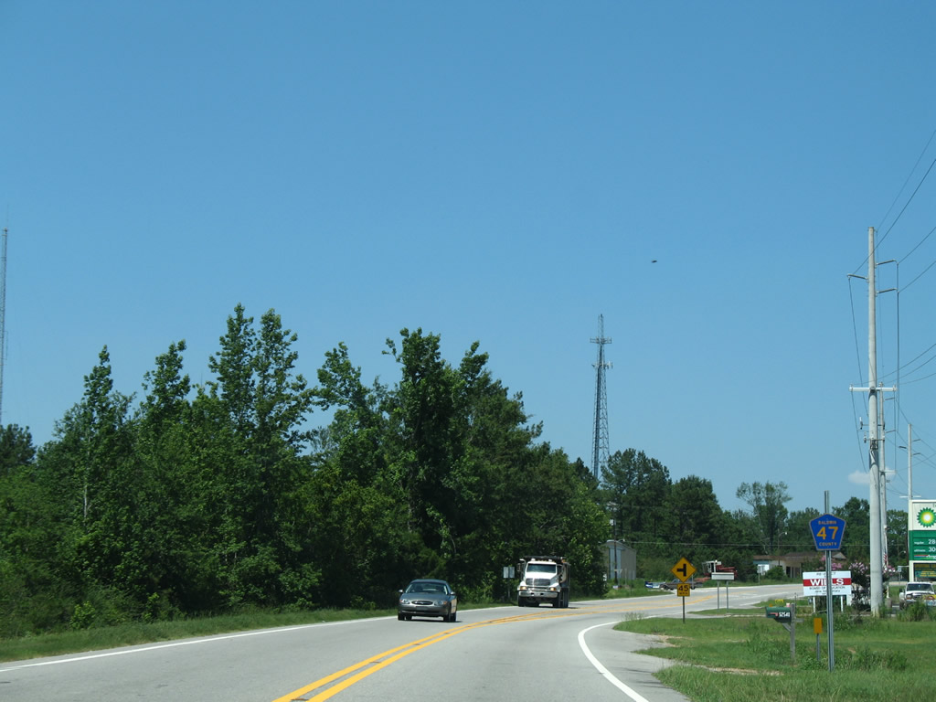
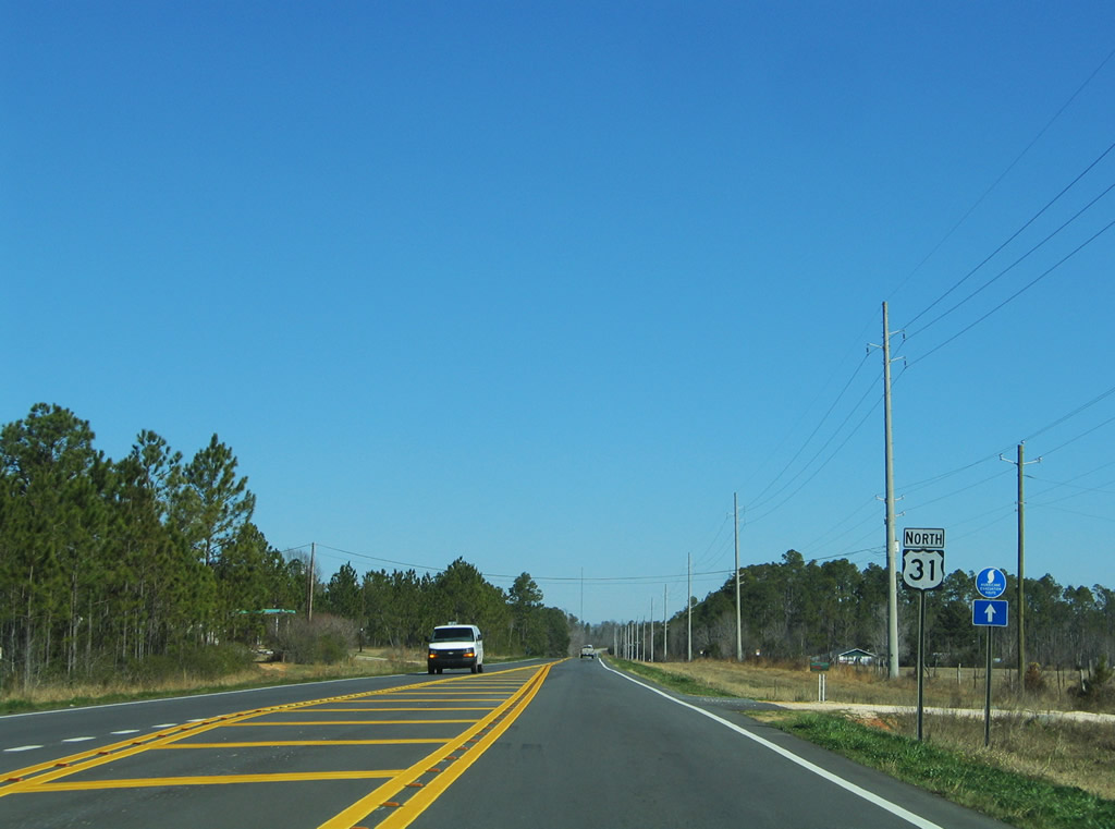
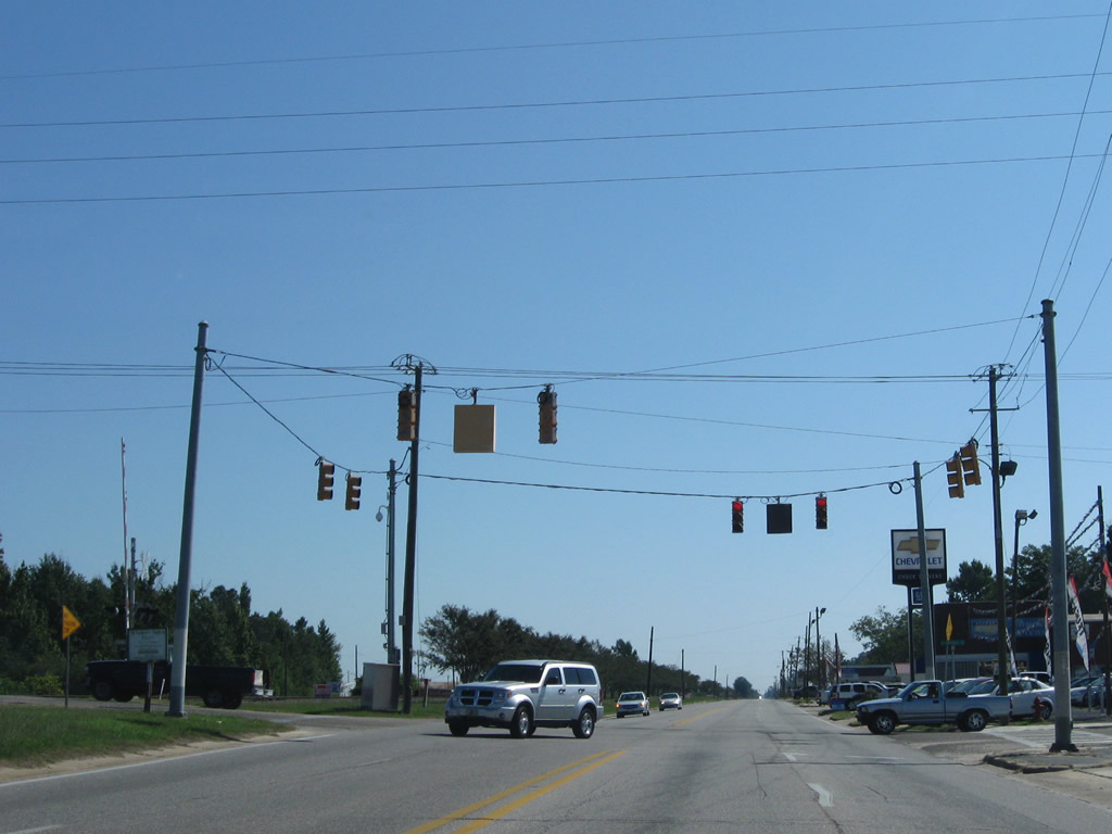
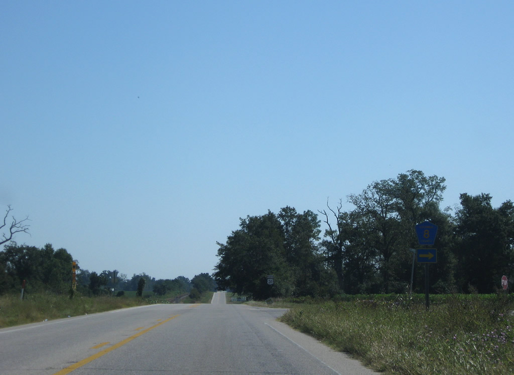
U.S. 31 meets CR 47 west 0.3 miles east of Cemetery Road (CR 61). The southern branch of CR 47 loops 12.7 miles west from U.S. 31 at Perdido to Rabun and I-65 at Exit 37.
06/05/06
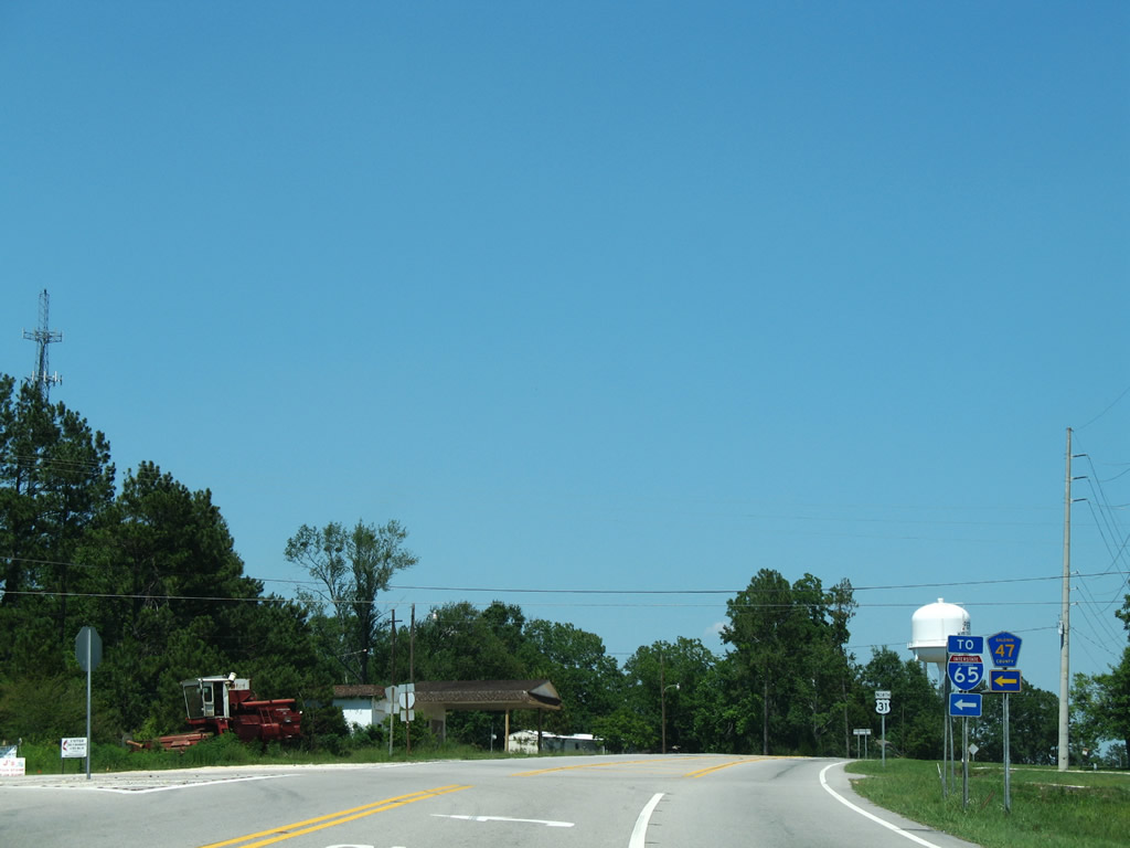
CR 47 links U.S. 31 with CR 61 (Lottie Road) north to Lottie and Redtown. CR 47 connects with Interstate 65 at Exit 45 in 3.3 miles.
06/05/06
Confirming marker posted northbound between CR 47 and Martin Hadley Lane at Perdido.
05/12/16
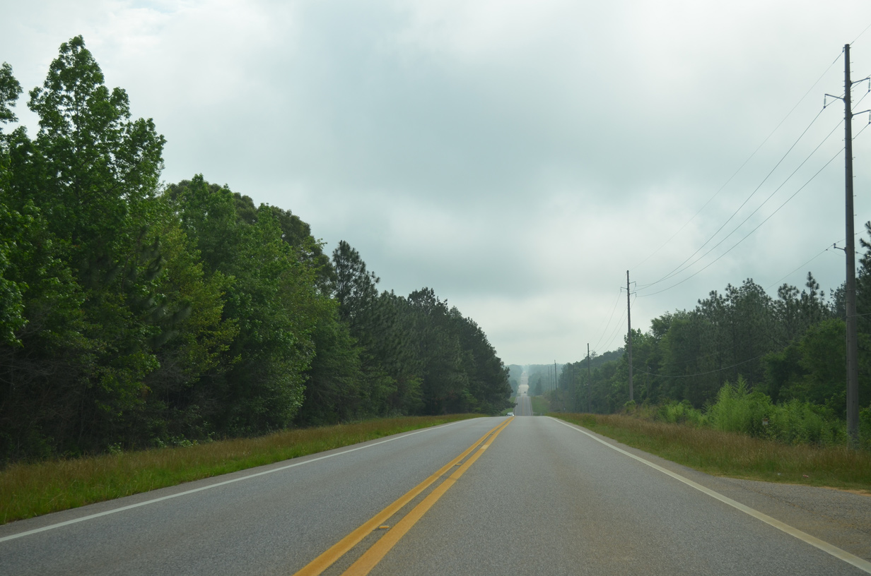
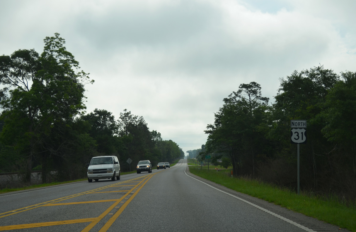
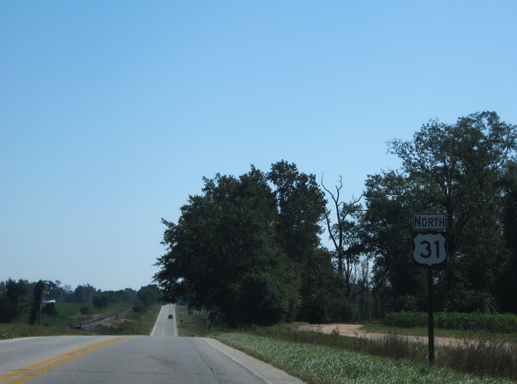
Lowering toward the Perdido River, U.S. 31 bee lines eastward to Nokomis in Escambia County.
05/12/16
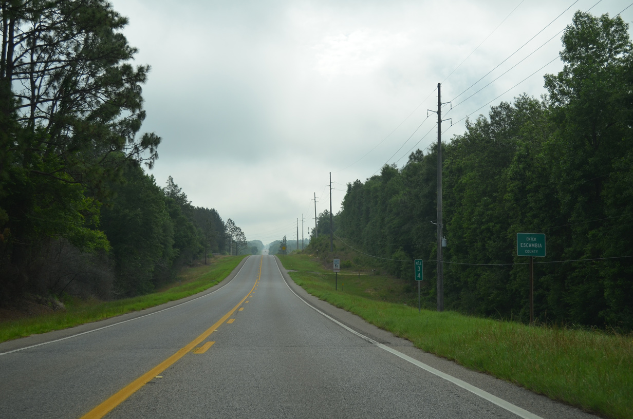
U.S. 31 enters the southwestern corner of Escambia County, 34.02 miles northeast of U.S. 90 in Spanish Fort.
05/12/16
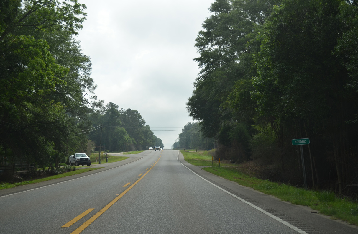
Paralleling a CSX Railroad line, U.S. 31 advances east from the Baldwin County line to the unincorporated community of Nokomis.
05/12/16
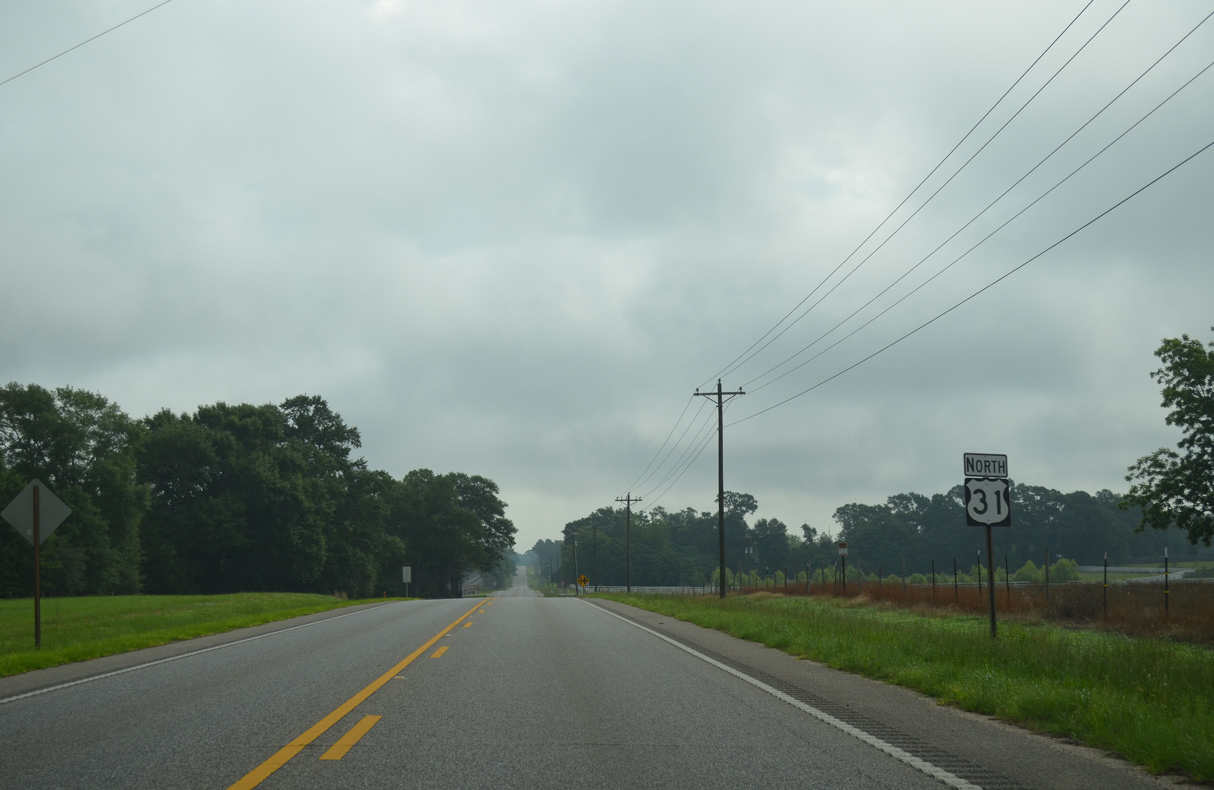
Pineville Road extends north from Escambia County in extreme northwestern Florida to U.S. 31 ahead of this reassurance marker.
05/12/16

U.S. 31 lowers to cross Brushy Creek adjacent to the CSX Railroad.
05/12/16
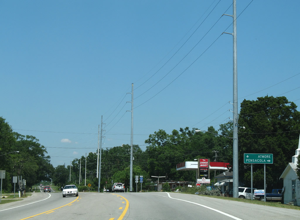
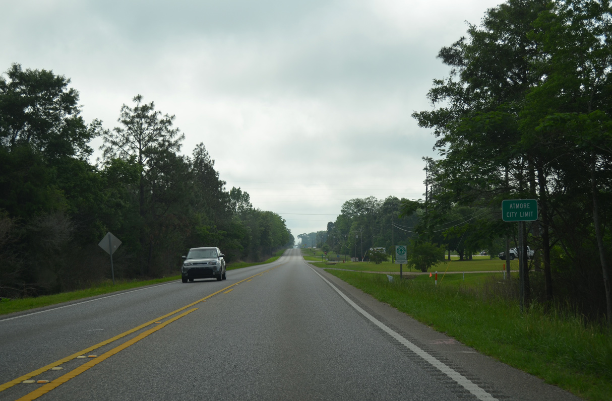
U.S. 31 runs along the Atmore city line east past Swift Mill Road.
05/12/16
Following Nashville Avenue, U.S. 31 northbound wholly enters Atmore east at Cinderbran Drive.
05/12/16
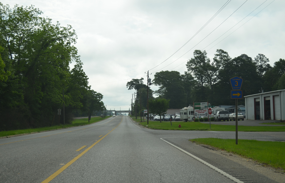
Rockaway Creek Road is CR 3 south from U.S. 31 (Nashville Avenue) to Cinderbran Drive in Atmore.
05/12/16
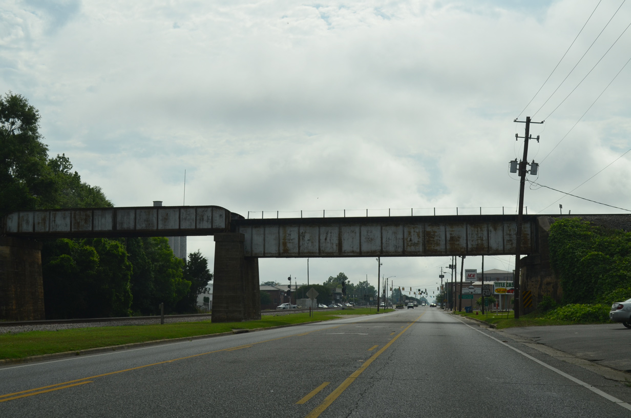
The Alabama & Gulfcoast Railway spans Nashville Avenue east of Highland Avenue across a bridge built in 1927.
05/12/16
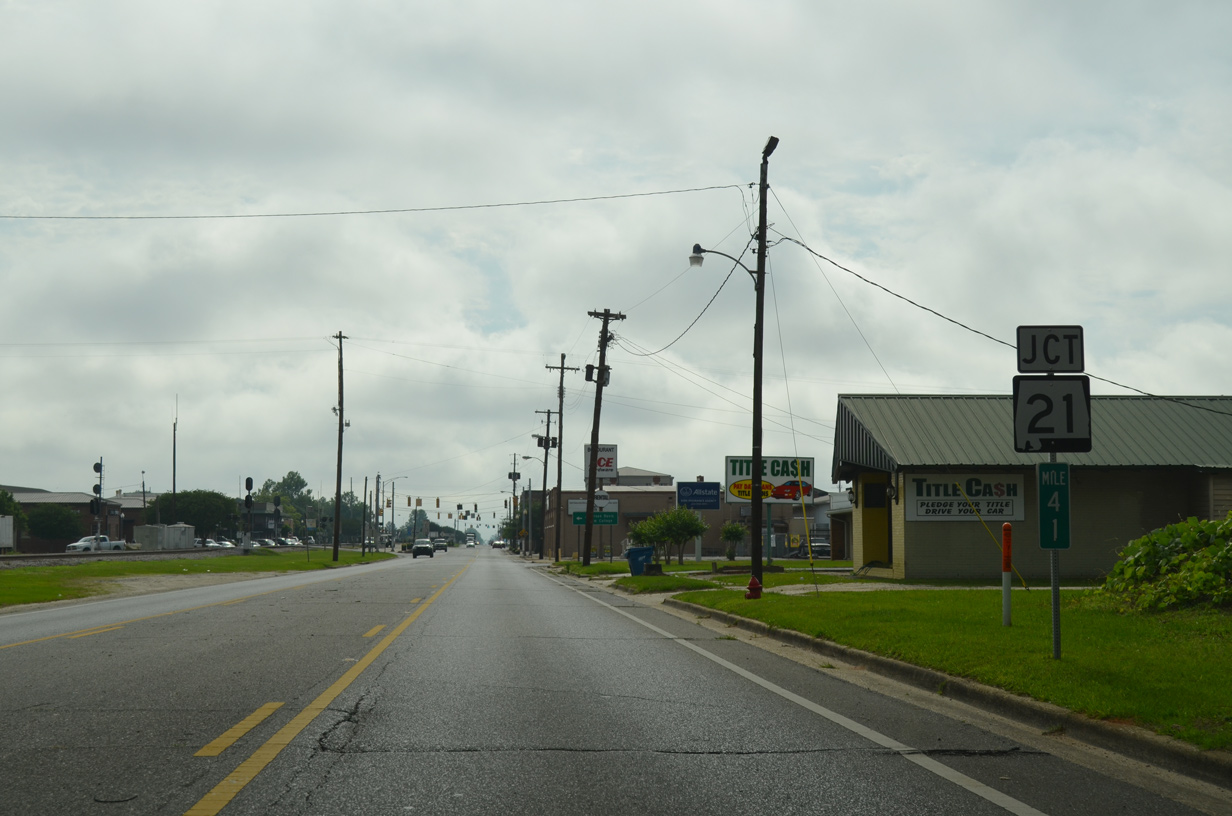
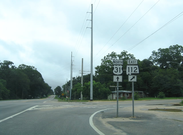
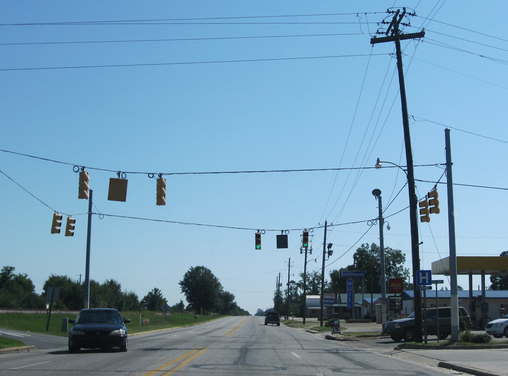
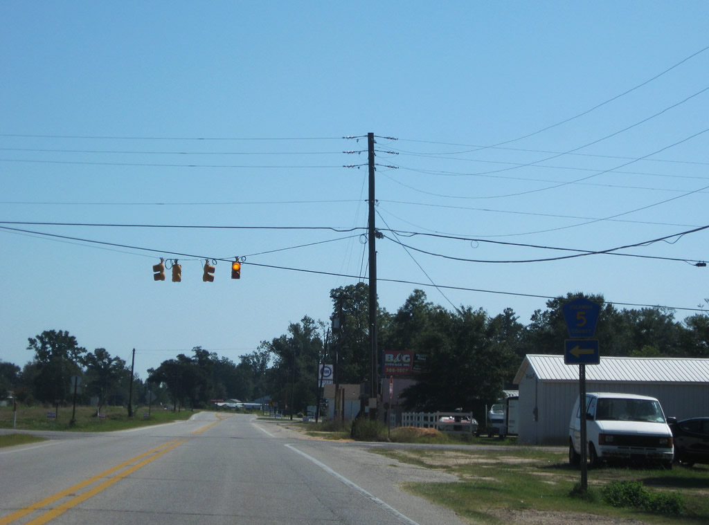
U.S. 31 proceeds east to SR 21 (Main Street) in Downtown Atmore.
05/12/16
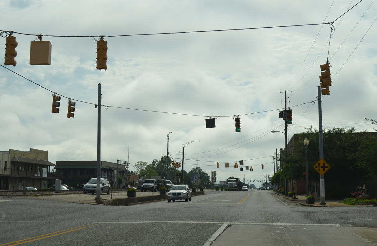
Trammell Street intersects U.S. 31 at the first of four traffic lights along Nashville Avenue in Atmore.
05/12/16
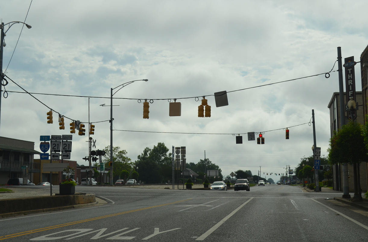
Along with Florida State 97, SR 21 provides an alternate route between Interstate 65 and Pensacola, in lieu of SR 113 and U.S. 29 through Flomaton to the east.
05/12/16
SR 21 (Main Street) heads 1.89 miles south to SR 97 at the Florida line. North beyond the Atmore city line, SR 21 expands into a four lane highway to Interstate 65 in 6.22 miles.
05/12/16
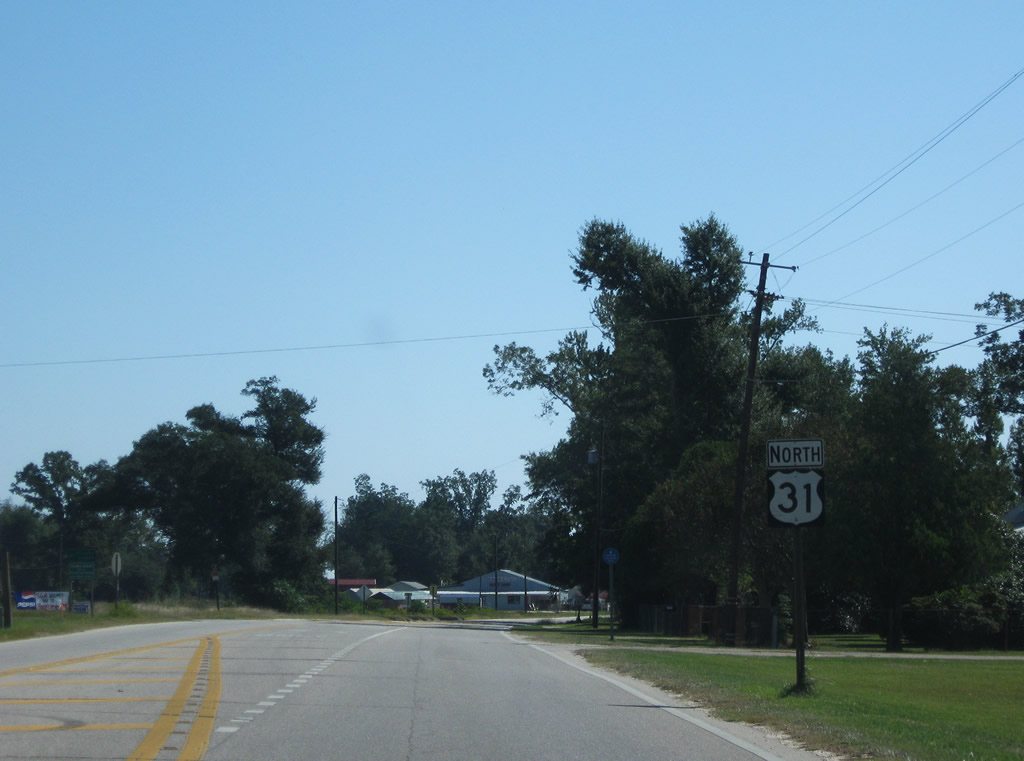
Presley Street intersects U.S. 31 (Nashville Avenue) in Atmore two blocks south from Carver Avenue (CR 27) and three blocks north of Horner Street (CR 8).
09/27/08
A road diet converted Nashville Avenue into a three lane boulevard east from SR 21 by 2011. Medical Park Drive leads south from U.S. 31 to Atmore Community Hospital and State Line Road. Martin Luther King, Jr. Avenue extends north to CR 27 (Carver Avenue).
09/27/08
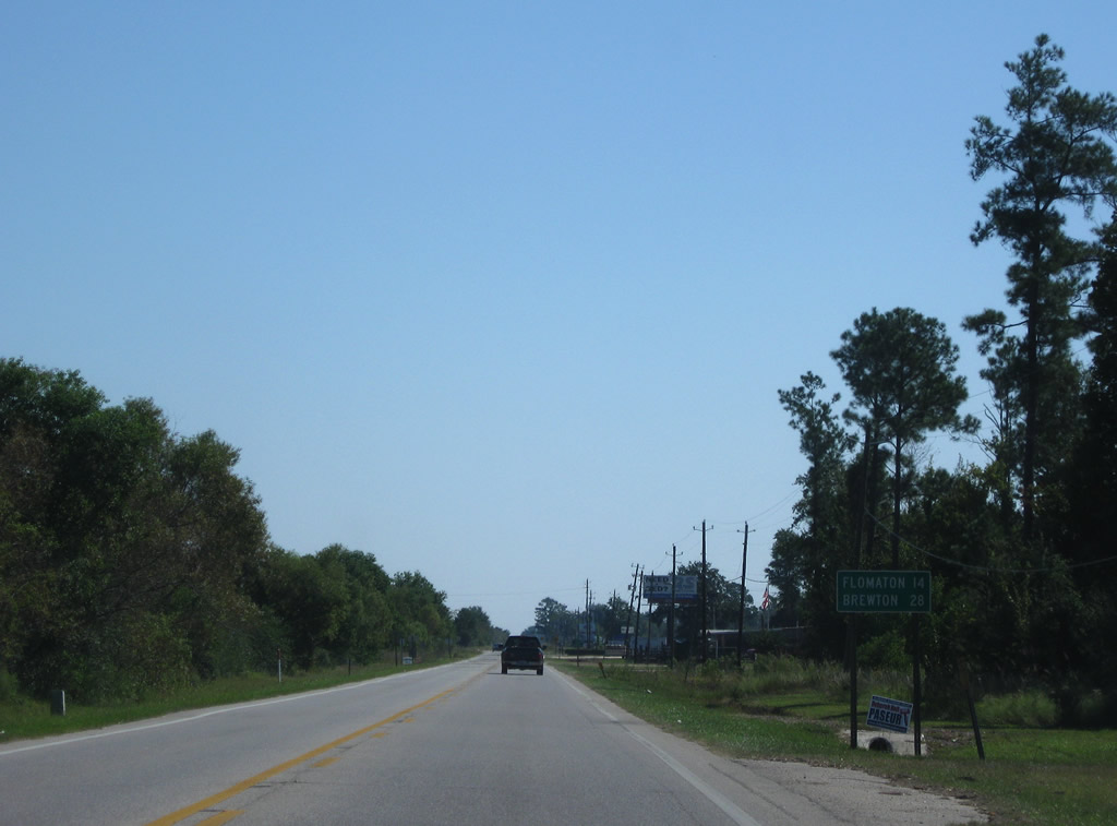
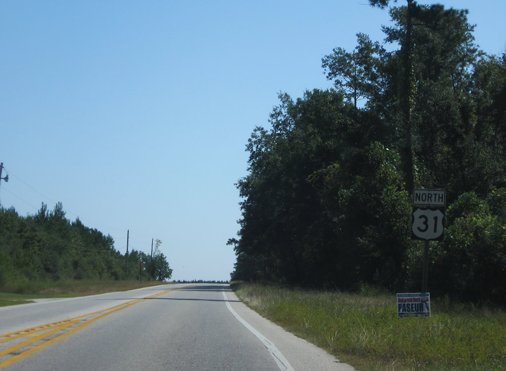
Continuing beyond the Atmore city line, U.S. 31 reaches Flomaton in 14 miles and the county seat of Brewton in 28 miles.
09/27/08
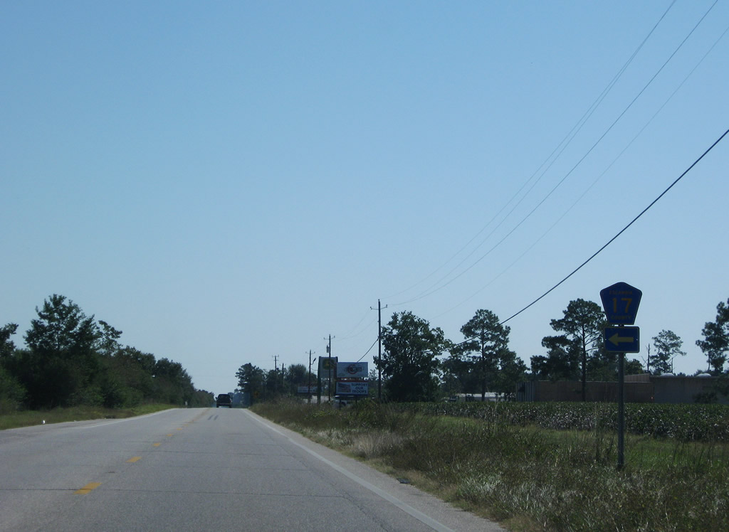
CR 17 follows 18th Avenue one mile north from U.S. 31 to CR 27 (Carver Avenue).
09/27/08
The eastern leg of CR 8 along Florida Highway stems south from U.S. 31 to the Florida state line. CR 8 becomes CR 99 in the Sunshine State south to Bratt.
09/27/08
Advancing east from CR 8 (Florida Highway) alongside the CSX Railroad, U.S. 31 next crosses Canoe Creek.
09/27/08
CR 5 follows Canoe Road north from U.S. 31 to CR 27 (Robinsonville Road) near Robinsonville. Southward from Canoe, CR 5 is unsigned to the Florida state line at Pine Barren Road.
09/27/08
U.S. 31 shifts northward across the parallel CSX Railroad through an S-curve east of Canoe.
09/27/08
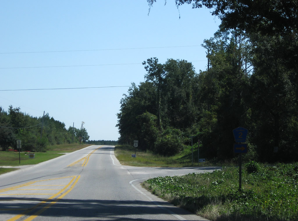
CR 2 (Old Atmore Road) branches southeast from U.S. 31 beyond Wawbeek to College Street in the town of Flomaton.
09/27/08
Straying north from the adjacent CSX Railroad line, U.S. 31 meanders east from CR 2 to Flomaton.
09/27/08
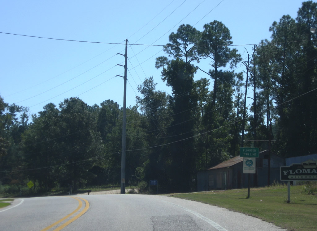
Entering the town limits of Flomaton along U.S. 31 east.
09/27/08
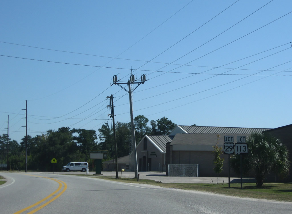
U.S. 29/SR 113 (Sidney E. Manning Boulevard) converge with U.S. 31, 0.81 miles north from Century, Florida.
09/27/08
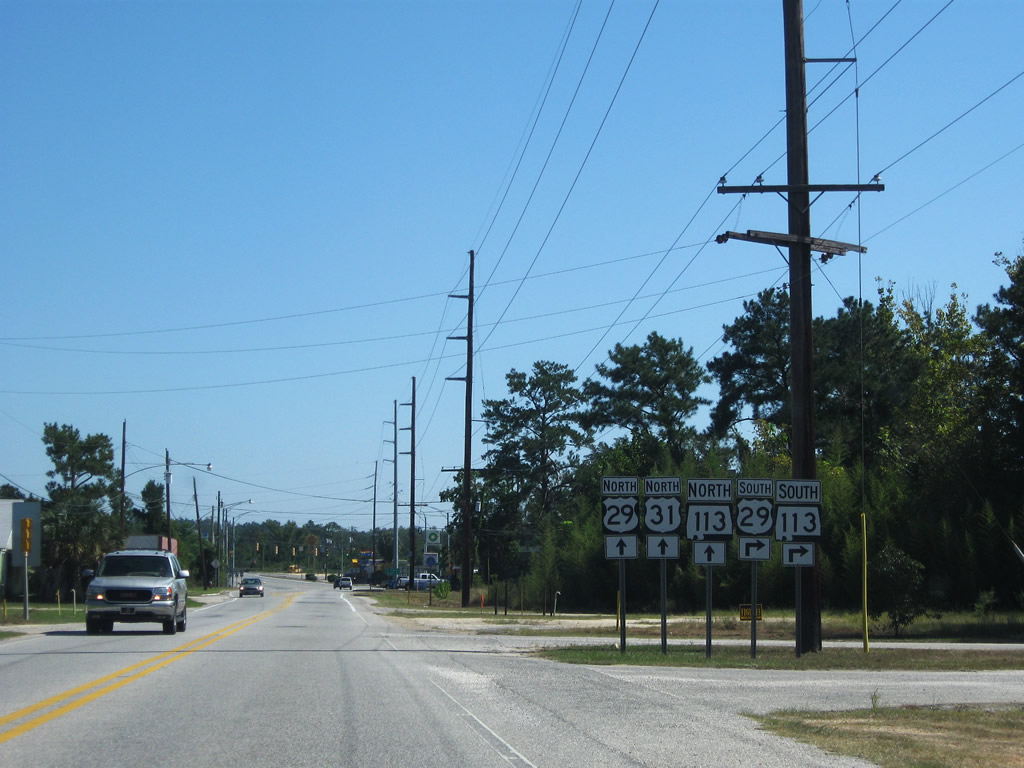
U.S. 29/31 combine for 12.77 miles east from Flomaton to SR 41 in Flomaton.
09/27/08
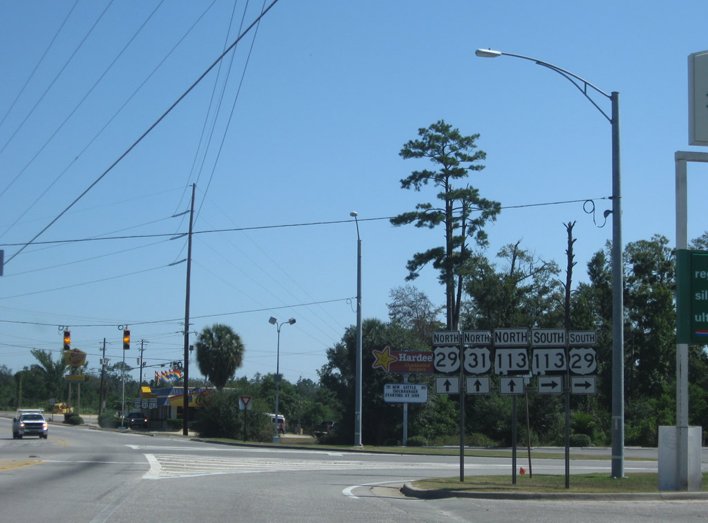
U.S. 29 travels south into Florida at Century en route to Cantonment, Gonzalez and U.S. 90/98 in Pensacola. SR 113 accompanies U.S. 29 north from the state line 1.95 miles through Flomaton.
09/27/08
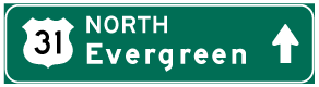
Photo Credits:
- Alex Nitzman: 02/08/06, 06/05/06, 06/06/06, 05/12/16
- ABRoads: 09/27/08, 03/20/09, 05/12/16
- Alex Nitzman, Justin Cozart: 06/14/04
Connect with:
Page Updated Friday August 12, 2022.