
U.S. 34 East - Granby to Estes Park
 East
East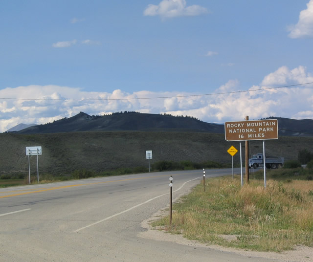
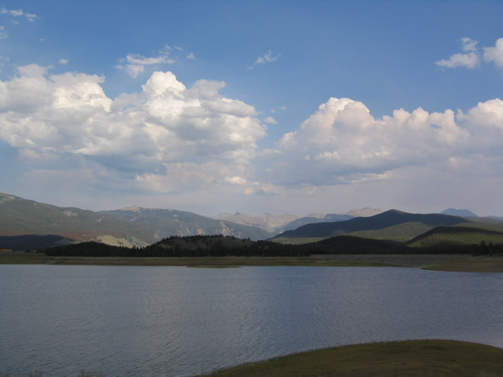
Heading from U.S. 40 around the north side of Granby, U.S. 34 begins east toward Rocky Mountain National Park. During the winter months, U.S. 34 is only open as far as the Colorado River Headwaters Trail in the park, with occasional closures required below thatt point. It is only 16 miles from Granby to the national park, but there is plenty of stunning scenery along the way, including Lake Granby and Grand Lake.
08/27/04
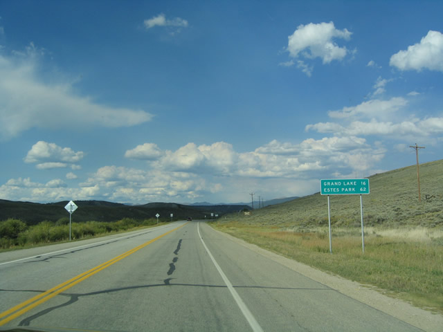
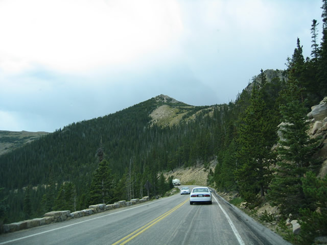
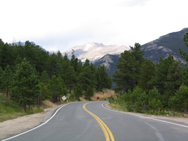
Although 62 miles to Estes Park seems like a short distance, it takes much more than just an hour to cross the Rocky Mountains. The trip on U.S 34 can take between two to three hours between Granby and Estes Park in the Summer with minimal stops. Several switchbacks and sheer cliffs coincide with amazing views and mountain scenery.
08/27/04
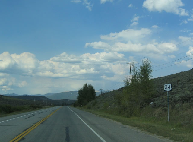
This is the first eastbound reassurance shield for eastbound U.S. 34, posted fter leaving Granby. Notably, U.S. 34 east is actually traveling north from Granby to Rocky Mountain National Park as it skirts the eastern shore of Lake Granby and Grand Lake.
08/27/04
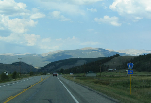
The tall peaks of Rocky Mountain National Park rise to the northeast as U.S. 34 intersects CR 61 south back into Granby via 2nd Street. Like some other counties in Colorado, Grand County uses the standard blue yellow pentagon to mark their routes.
08/27/04
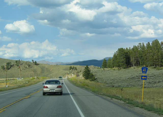
U.S. 34 east connects with Grand County Route 41 west by Stillwater campground and Fish Bay off Lake Granby.
08/27/04
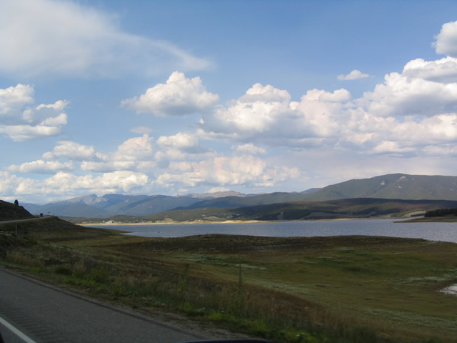
Lake Granby, an artificial reservoir of the Colorado River, comes into view as U.S. 34 straddles the west shore north of CR 41. The Stillwater River flows into the lake from the northwest, while the Colorado River enters the reservoir from the north via Shadow Mountain Lake.
08/27/04
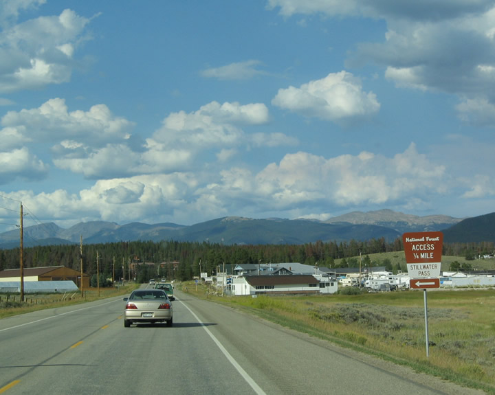
Traveling along the northwest shore of Lake Granby, U.S. 34 advances to the intersection with CR 4 (Idle Glen Road) west to scenic Stillwater Pass in the Arapaho National Forest.
08/27/04

County Road 4 (Idle Glen Road) arcs west and north from U.S. 34 at the north end of Lake Granby off Cutthroat Trout Bay.
08/27/04
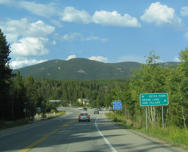
U.S. 34 circles through western reaches of the Grand Lake town limits just north of Shadow Mountain Lake. Portal Road branches east from U.S. 34 toward the Grand Lake business district. Grand Lake is well known for hiking, biking, camping and water recreation.
08/27/04

Beyond the separation with Portal Road, U.S. 34 makes a series of S-curves north onto Trail Ridge Road as it continues into Rocky Mountain National Park. Most services are available in Grand Lake, including one of the last gas stations before entering the national park.
08/27/04
Just after the Grand Lake turnoff, eastbound U.S. 34 enters Rocky Mountain National Park. A favorite getaway from the urban areas along the Front Range, Rocky Mountain National Park is one of the older parks in the system; it was dedicated in 1915. Elevations range from around 8,000 feet in the "low" valleys to a high point of 14,259 feet at Long's Peak. U.S. 34 is known as Trail Ridge Road upon entering the park; there are almost no U.S. 34 shields anywhere in the park.
08/27/04
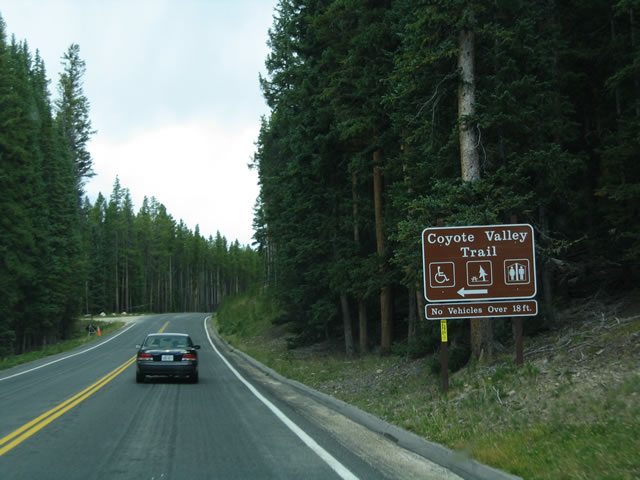
One of the popular hiking trails on the western slope of Rocky Mountain National Park is the Coyote Valley Trail, which offers splendid scenery and a myriad of photo opportunities.
08/27/04
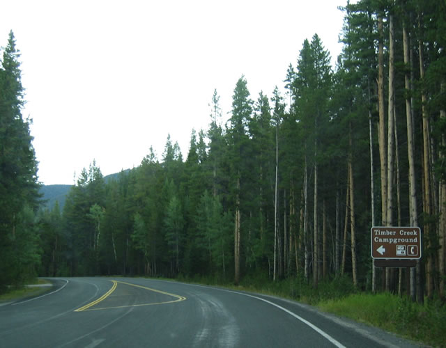
Camping, hiking, wildlife viewing, and related activities are the main draw of Rocky Mountain National Park. Pictured here during a brief thunderstorm is the access road from Trail Ridge Road to Timber Creek Campground.
08/27/04
Trail Ridge Road rises above the tree line, entering the alpine tundra of the national park. The western slope receives more precipitation than the eastern slope, reinforcing the mountains as a sponge absorbing moisture from approaching storms and disturbances. Further illustrating this, Grand Lake receives an average of 19.95 inches of precipitation annually, while the town of Estes Park receives only 13.10 inches on average annually.
08/27/04
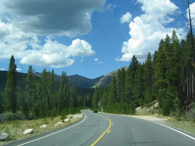
Trail Ridge Road makes a number of switchbacks east from Kawuneeche Valley, gaining over 1,500 feet in elevation through the alpine tundra to Milner Pass.
08/27/04
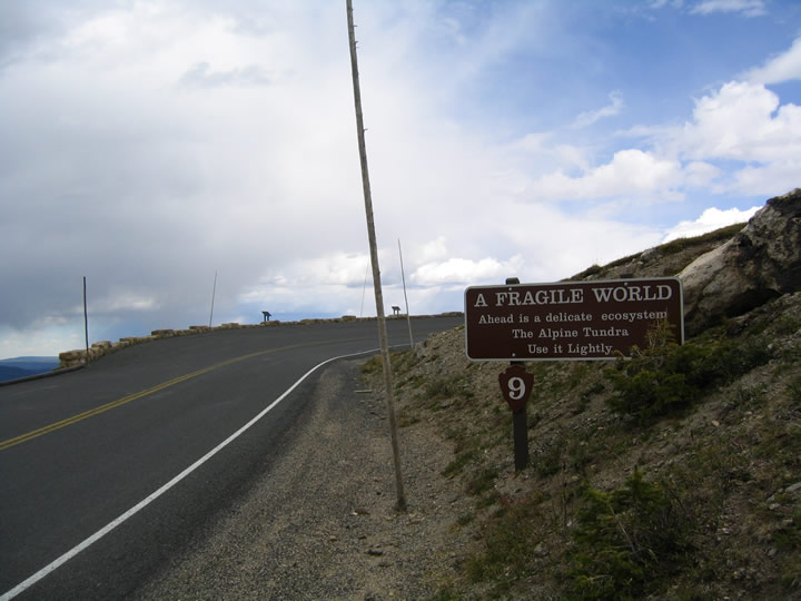
People are discouraged from hiking on the alpine tundra, due to the sensitivity of the area. Near this area, Trail Ridge Road crosses the Continental Divide, which separates water flowing to the Atlantic Ocean / Gulf of Mexico and the Pacific Ocean. To the west, snow melts toward the Colorado River watershed, while snow melt to the east flows down to the South Platte River, which ultimately connects to the Missouri River and Mississippi River.
08/27/04
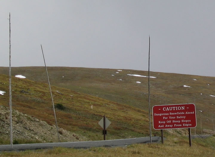
The tall peaks of the national park rise in the distance as Trail Ridge Road ascends along the crest of the alpine tundra. Closed in Winter, this road also sees the potential for snow even in the Summer. Tall stakes line the road, offering snow plows a line to follow when re-opening it after a major weather event, or at the beginning of the Summer season.
08/27/04
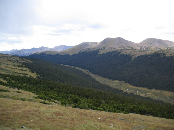
Looking north toward Specimen Mountain and a valley fed by the Cache la Poudre River. No valley in the park drops below 7,500 feet; most of the park is well over 8,000 feet in elevation. Over 60 peaks in the national park's 416 square miles exceed 12,000 feet in height.
08/27/04
Switchbacks such as this one in the alpine tundra area are fairly common. Due to the significant amount of traffic on Trail Ridge Road, the switchbacks can be slow going.
08/27/04
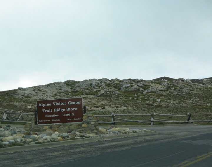
The Alpine Visitors Center and Trail Ridge Store is located near Fall River Pass at an elevation of 11,796 feet. This visitors center is seasonal. Miles of alpine tundra as well as the myriad high peaks of the park are visible from the visitors center parking lot.
08/27/04

Trail Ridge Road navigates through the Tundra Curves high above Forest Canyon and ahead of Iceberg Pass.
08/27/04
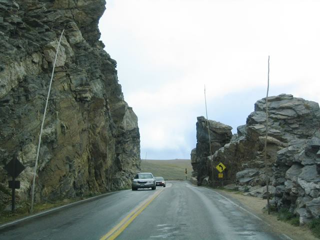
A particularly narrow section of U.S. 34 (Trail Ridge Road) near milepost 41 threads through the Rock Cut at an elevation of around 12,000 feat above sea level.
08/27/04
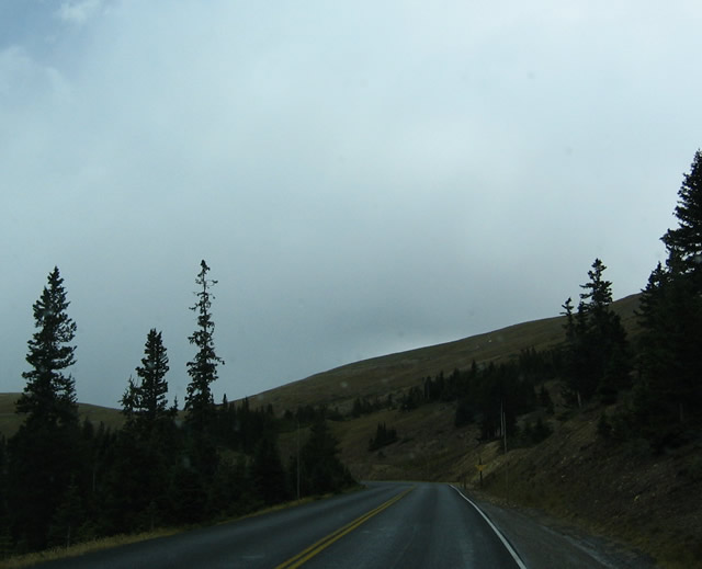
Eastbound U.S. 34 (Trail Ridge Road) passes below the tree line as it continues its descent toward Estes Park.
08/27/04
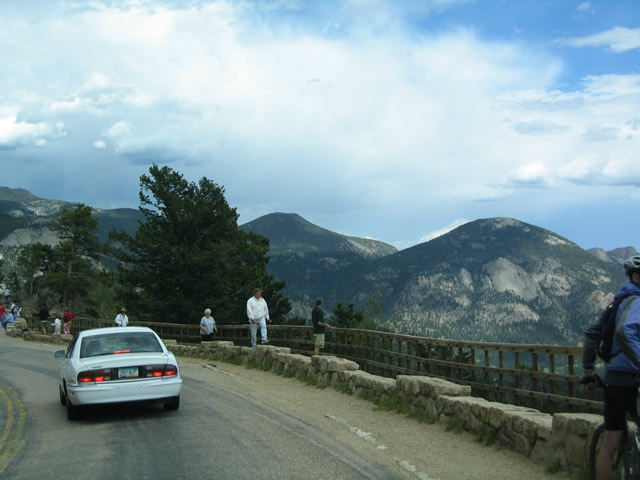
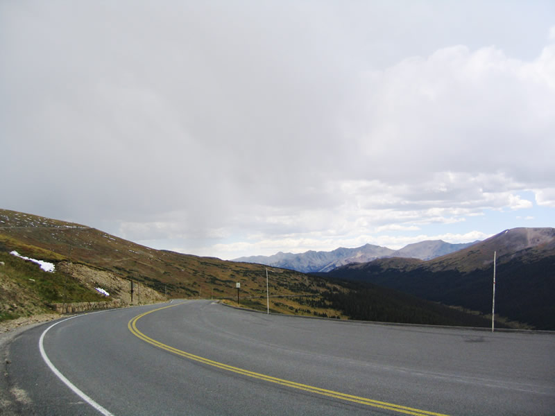
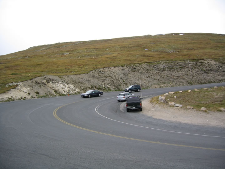
Several vista points and parking areas offer unparalleled views of the surrounding beauty of the countryside.
08/27/04
Lowering to 9,238 feet above sea level, U.S. 34 makes a hair pin turn back to the east through Hidden Valley.
08/27/04
Eastbound U.S. 34 meets U.S. 36 (Nay Hill Road) and Fall River Road at Deer Ridge. U.S. 36 commences east to the Beaver Meadow Visitors Center. U.S. 34 turns northwest along Fall River Road to the Fall River Visitors Center. Either route connects to Estes Park: U.S. 34 comes into Estes Park from the northwest, while U.S. 36 enters from the southeast. The routes meet one more time, at a major signalized intersection east of Downtown Estes Park.
08/27/04
Fall River Road winds northwest toward Horseshoe Park. Bighorn and Fairchild Mountains rise to the northwest.
08/27/04
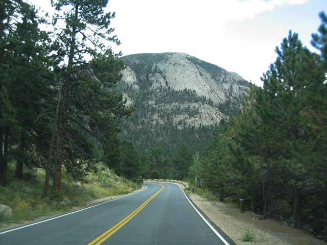
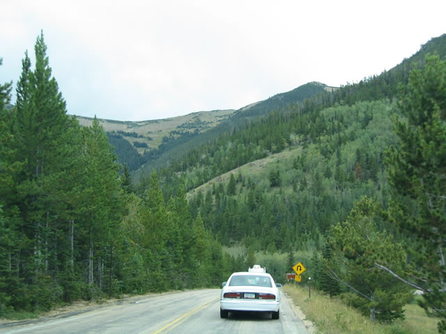
Continuing east, U.S. 34 resumes its downward tilt, with continuing gorgeous views of mountain scenery even at these lower elevations. On this day, it was sunny in Denver, but it was somewhat overcast throughout the park, with occasional thunderstorms in the area. Oftentimes, the mountains can produce their own weather, even on the down slope.
08/27/04
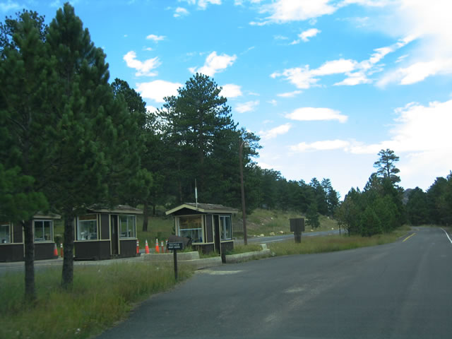
Leaving Rocky Mountain National Park through the east entrance station, U.S. 34 (Fall River Road) enters the town of Estes Park.
08/27/04
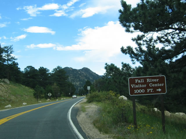
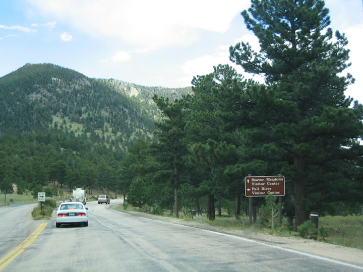
After the entrance booths, eastbound U.S. 34 passes the Fall River Visitors Center. Generally used by incoming visitors from the east, this visitors center offers road, trail, and park information as well as rest room facilities.
08/27/04
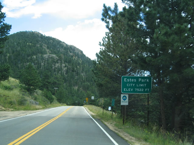
Estes Park sits at an elevation of 7,522 feet and encompasses approximately six square miles. Home to nearly 6,000 people, the town was incorporated in 1917, only two years after the Rocky Mountain National Park was established.
08/27/04
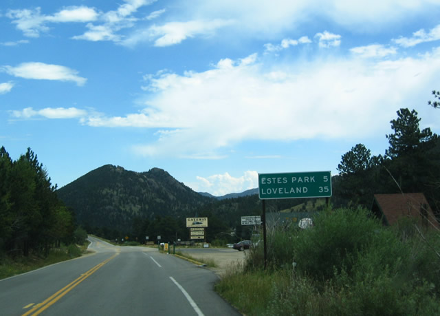
CDOT takes over maintenance from the National Park Service (NPS) as U.S. 34 advances east into Estes Park. Removed by 2012, this sign outlined the distance to the Estes Park town center (five miles) and Loveland (35 miles). Despite the seemingly short distance to Loveland, the tourist traffic in and around Estes Park, coupled with narrow and winding Big Thompson Canyon, keeps the driving time on U.S. 34 to Loveland at approximately one hour.
08/27/04
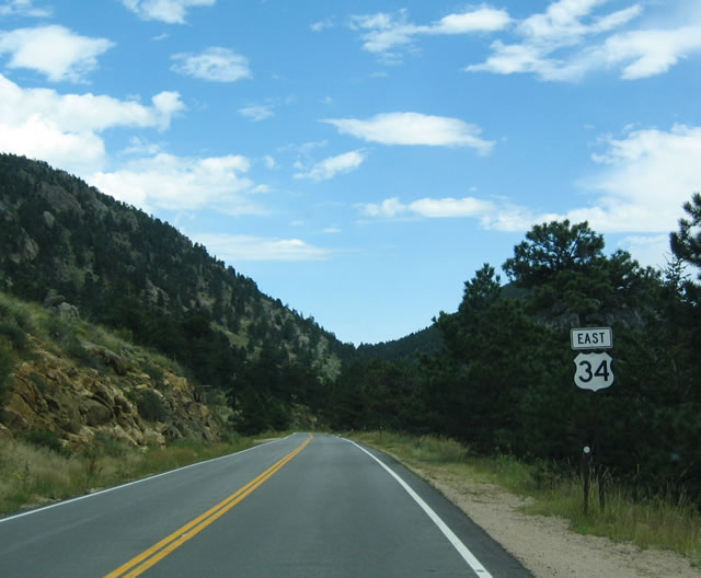
The first reassurance shield for U.S. 34 east appears just after Trail Ridge Road departs from Rocky Mountain National Park.
08/27/04
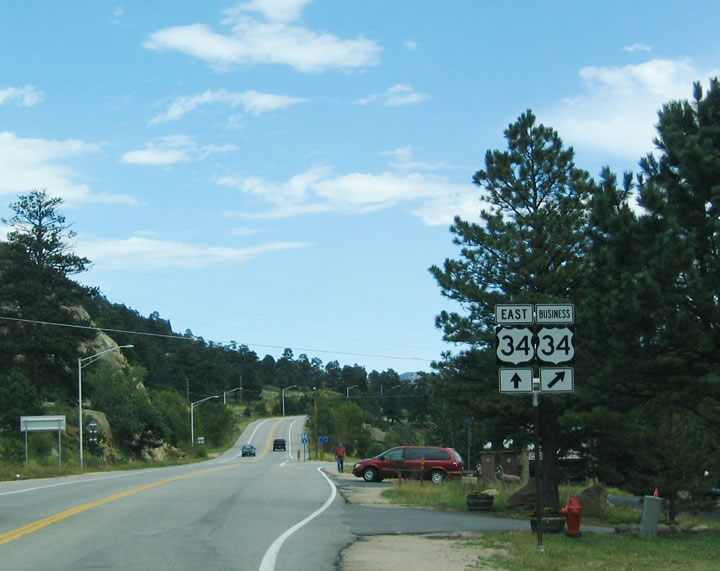
Three miles within Estes Park, U.S. 34 splits with a business route. The U.S. 34 mainline bypasses Downtown Estes Park to the north.
08/27/04
U.S. 34 (Elkhorn Avenue) branches south from U.S. 34 (Wonderview Avenue) at a wye intersection. The business route reaches scenic Downtown Estes Park in on mile.
08/27/04
Photo Credits:
- Andy Field: 08/27/04
Connect with:
Page Updated Thursday May 04, 2017.