
U.S. 36

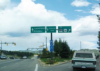
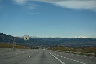
U.S. 36 (Denver-Boulder Turnpike) lowers northwest from Davidson Mesa toward South Boulder Creek and the city of Boulder. - 04/23/2017
U.S. 36 begins in Rocky Mountain National Park, extends southeast to Boulder and Denver, then heads east across the high plains of Eastern Colorado to Dyers, Last Chance and Idalia. The route within Colorado measures 224.72 miles in length.
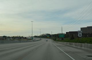
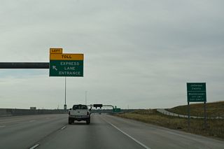
The portion of U.S. 36 between Boulder and Denver is known as the Denver-Boulder Turnpike, which was a toll road until its bonds were paid off in 1967. Designated as Colorado Highway 392, it was built in 1952 and became part of an extended U.S. 36 in 1967.1 The freeway leads northwest from the junction of I-25 and I-270 to the University of Colorado Boulder in the city of Boulder. Tolled Express Lanes run along nearly the length of the Turnpike.
U.S. 36 Colorado Guides
East - Estes Park to Boulder - 24 photos
East - Boulder to Broomfield - 42 photos
East - Westminster to Sherrelwood - 40 photos
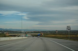
West - Sherrelwood to Broomfield - 44 photos
West - Louisville to Boulder - 46 photos
Prior to 1967, U.S. 36 ended in Downtown Denver at the intersection of Colfax Avenue and Broadway, near the Civic Center and State Capitol Complex. The route was initially lengthened to Estes Park, northwest of Boulder, following what was SH 66 northwest from Lyons. A second extension lengthened U.S. 36 over more the remainder of SH 66 from Estes Park to U.S. 34 at Deer Ridge Junction in Rocky Mountain National Park. This was approved by the American Association of State Highway and Transportation Officials (AASHTO) on July 6, 1977.
References:
- Colorado Highways: The Denver-Boulder Turnpike (Matt Salek).
http://www.mesalek.com/colo/dbt.html
Connect with:
Page Updated Tuesday January 04, 2022.