
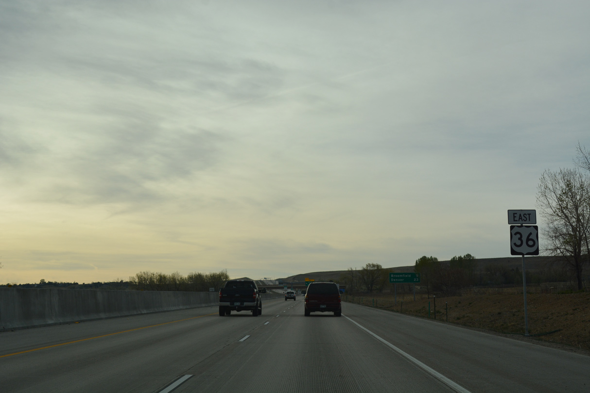
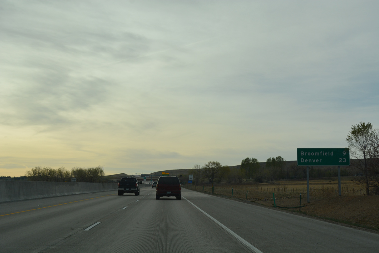
U.S. 36 East - Boulder to Broomfield
The Denver-Boulder Turnpike opened to traffic in January 1952 as a four lane toll road. It was such a success that the 30 year bonds were paid off early in 1967.
 East
East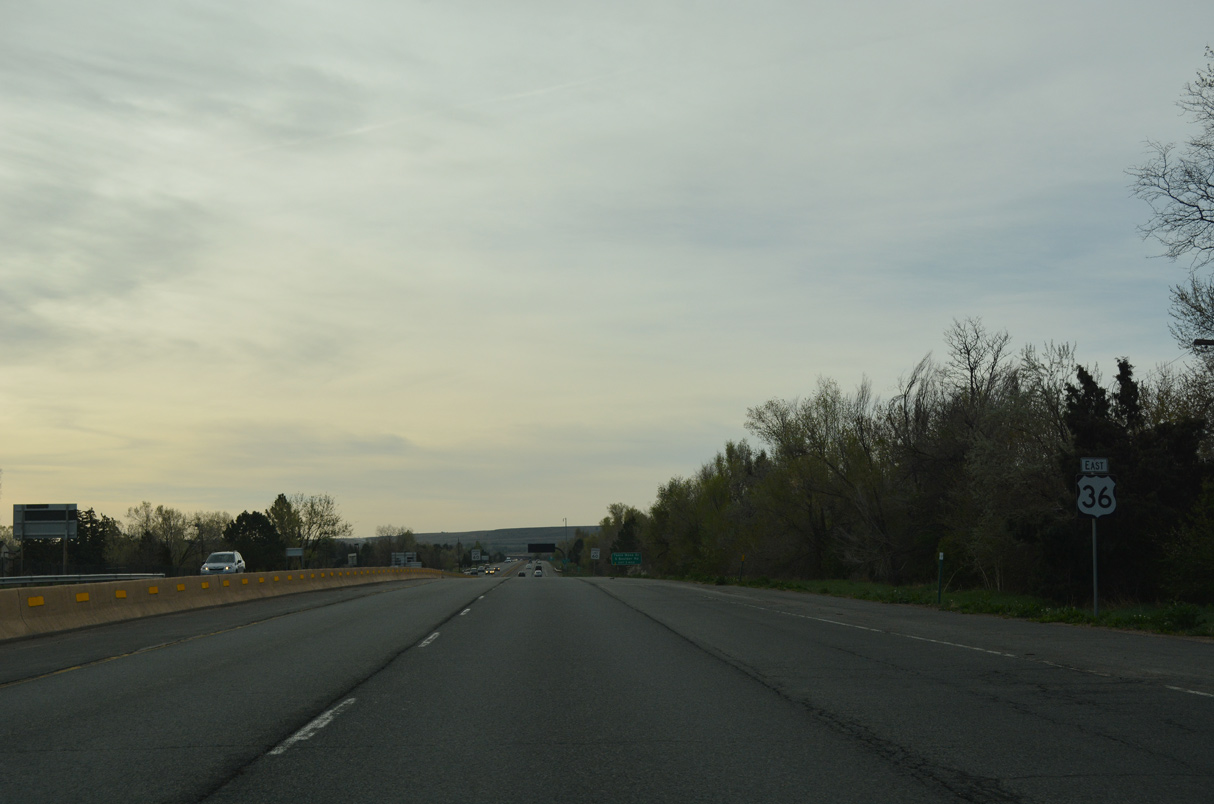
04/23/17
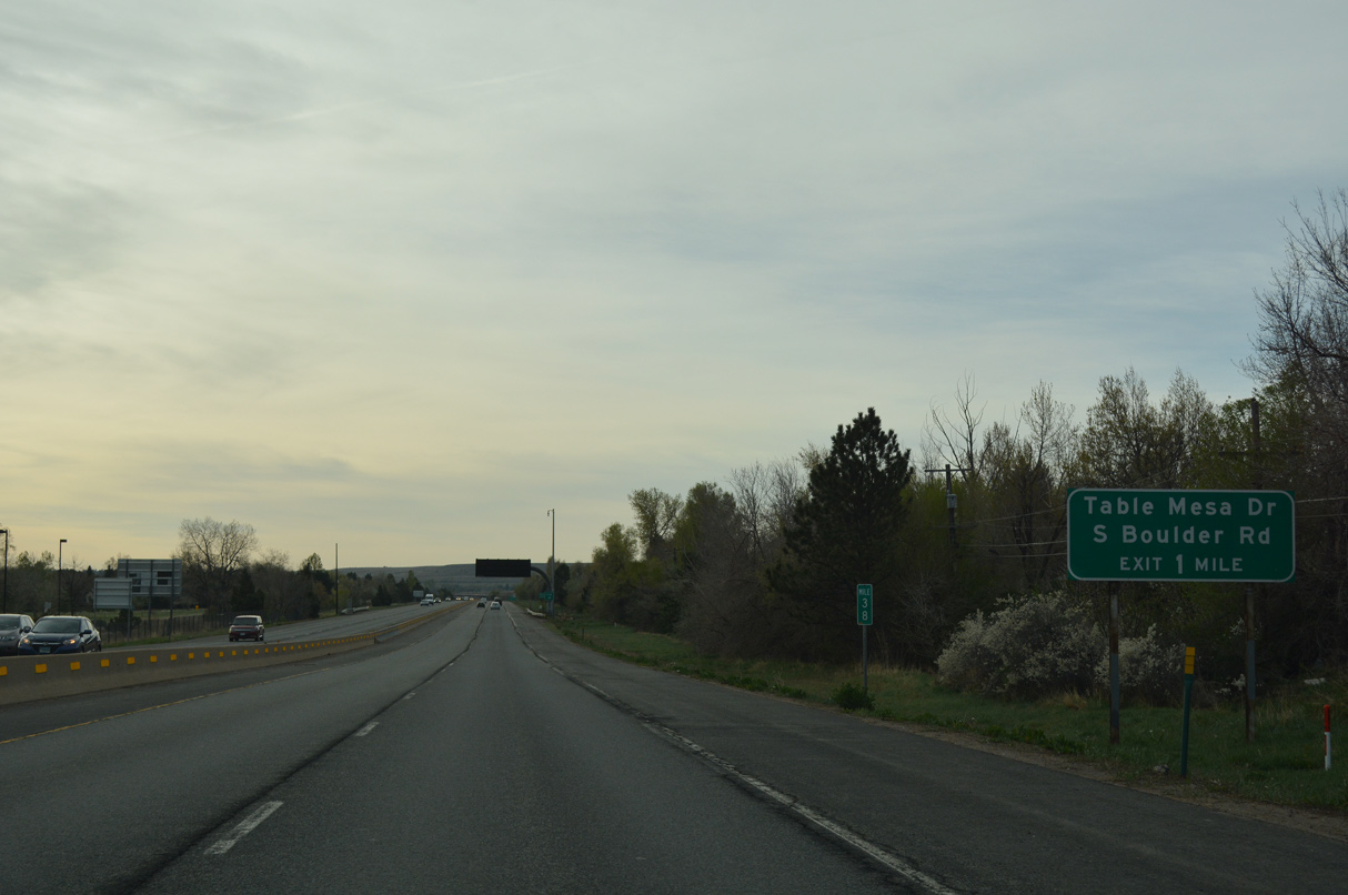
Table Mesa Drive heads 0.83 miles east from SH 93 (S Broadway) to parclo interchanges with U.S. 36 (Denver-Boulder Turnpike) and adjacent Sh 157 (Foothills Parkway) north.
04/23/17
04/23/17
04/23/17
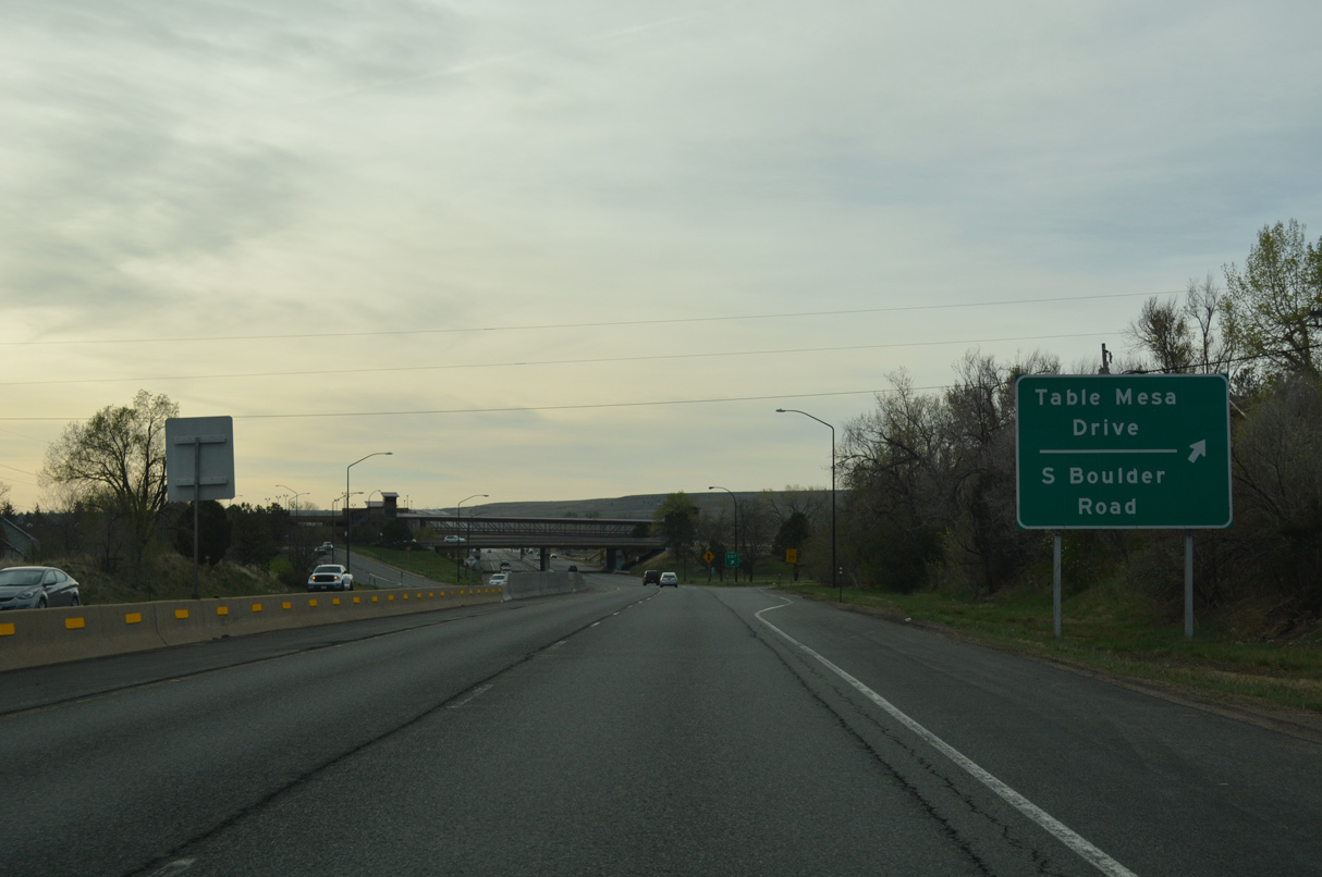
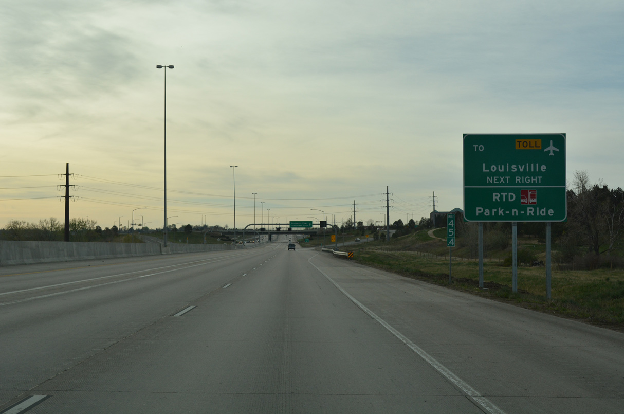
Table Mesa Drive east becomes S Boulder Road beyond the loop ramp to SH 157 (Foothills Parkway) north. S Boulder Road extends east into the city of Louisville. SH 157 forms an expressway bypass of Boulder to theast from U.S. 36 north 4.87 miles to SH 119 (Diagonal Highway).
04/23/17
04/23/17
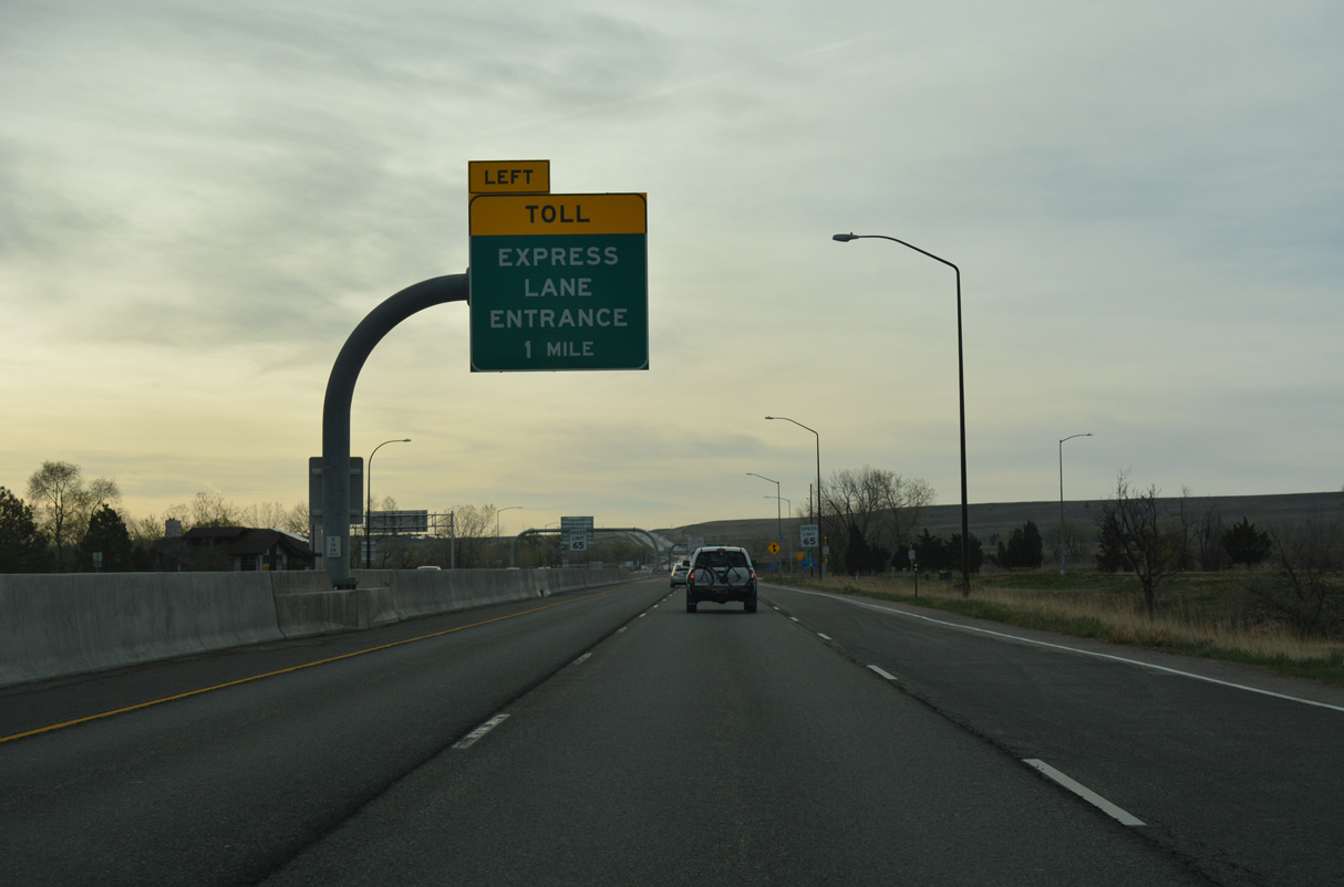
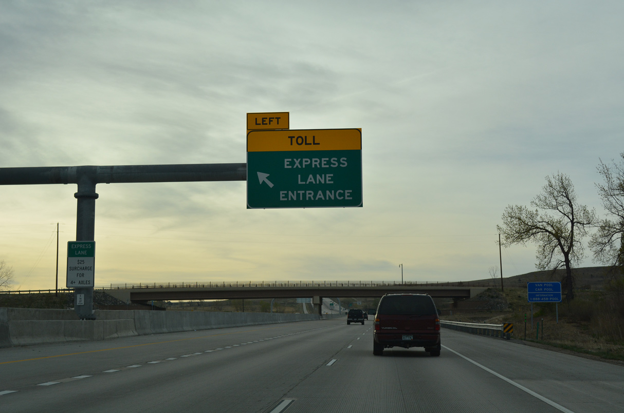
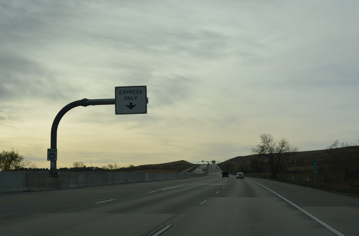
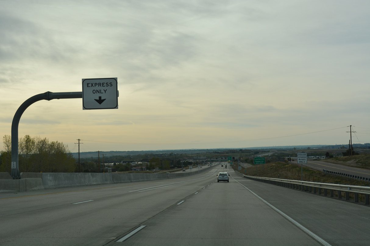
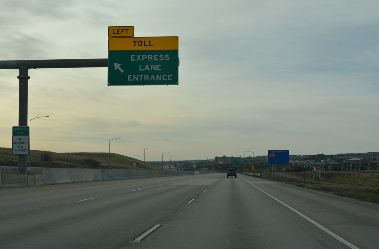
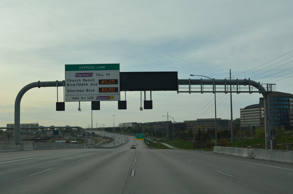
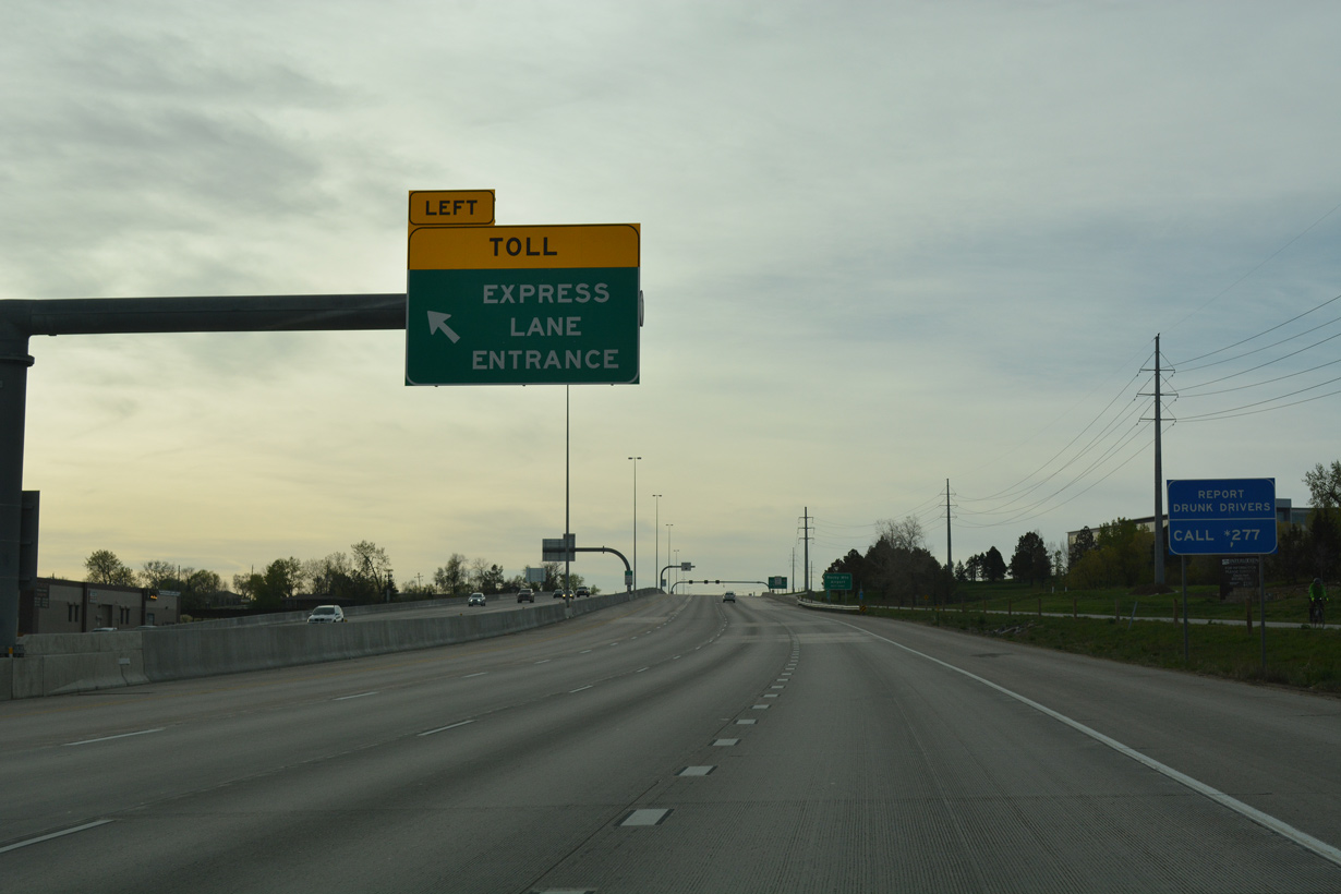
U.S. 36 expands with the tolled Express Lanes east of South Boulder Creek.
04/23/17
04/23/17
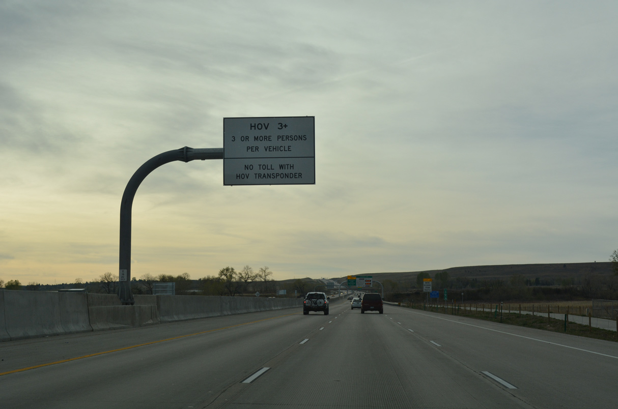
HOV 3+ eligible vehicles are not charged tolls along the U.S. 36 Express Lanes.
04/23/17
04/23/17
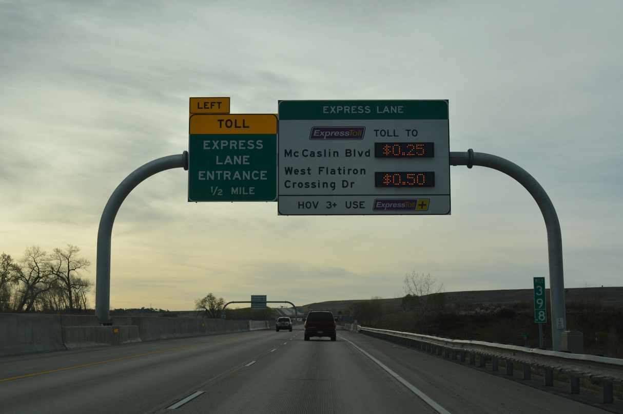
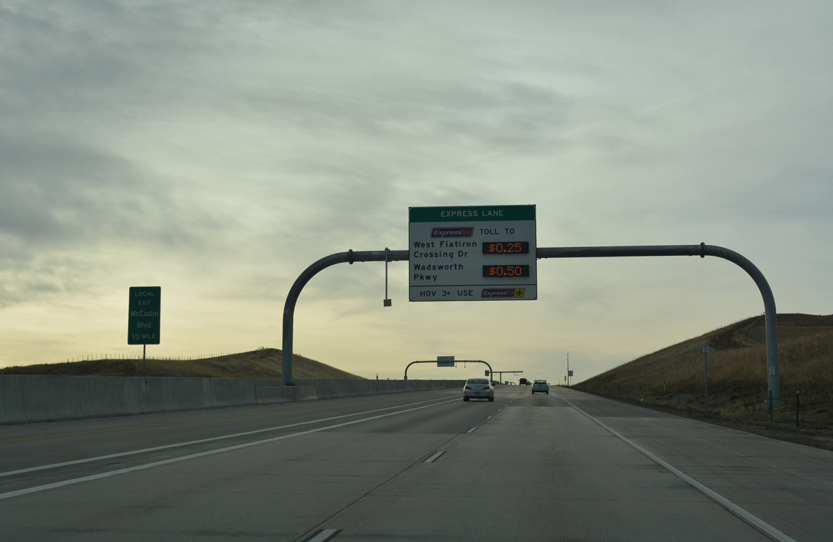
Tolls on the managed lanes for the Denver-Boulder Turnpike vary depending upon traffic congestion on the general travel lanes.
04/23/17
04/23/17
Confirming marker posted east of South Boulder Creek.
04/23/17
04/23/17
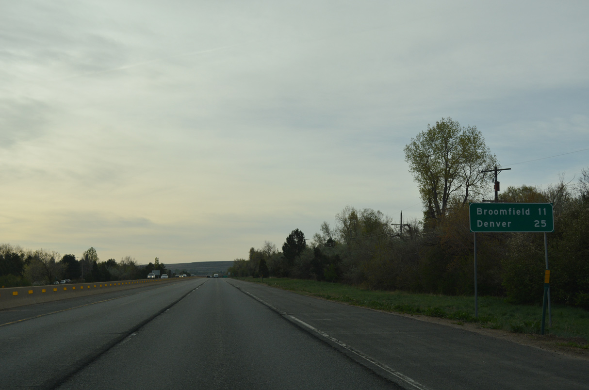
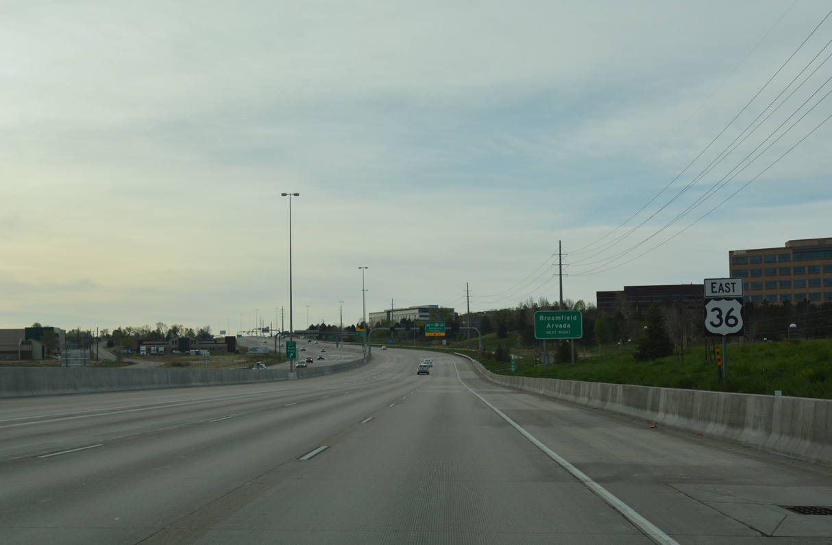
Most of U.S. 36 between Boulder and Broomfield is surrounded by open space. Further southeast in Westminster and Broomfield, suburban growth resulted resulted in a continuous string of development along the U.S. 36 corridor in Broomfield, Jefferson and Adams Counties.
04/23/17
04/23/17
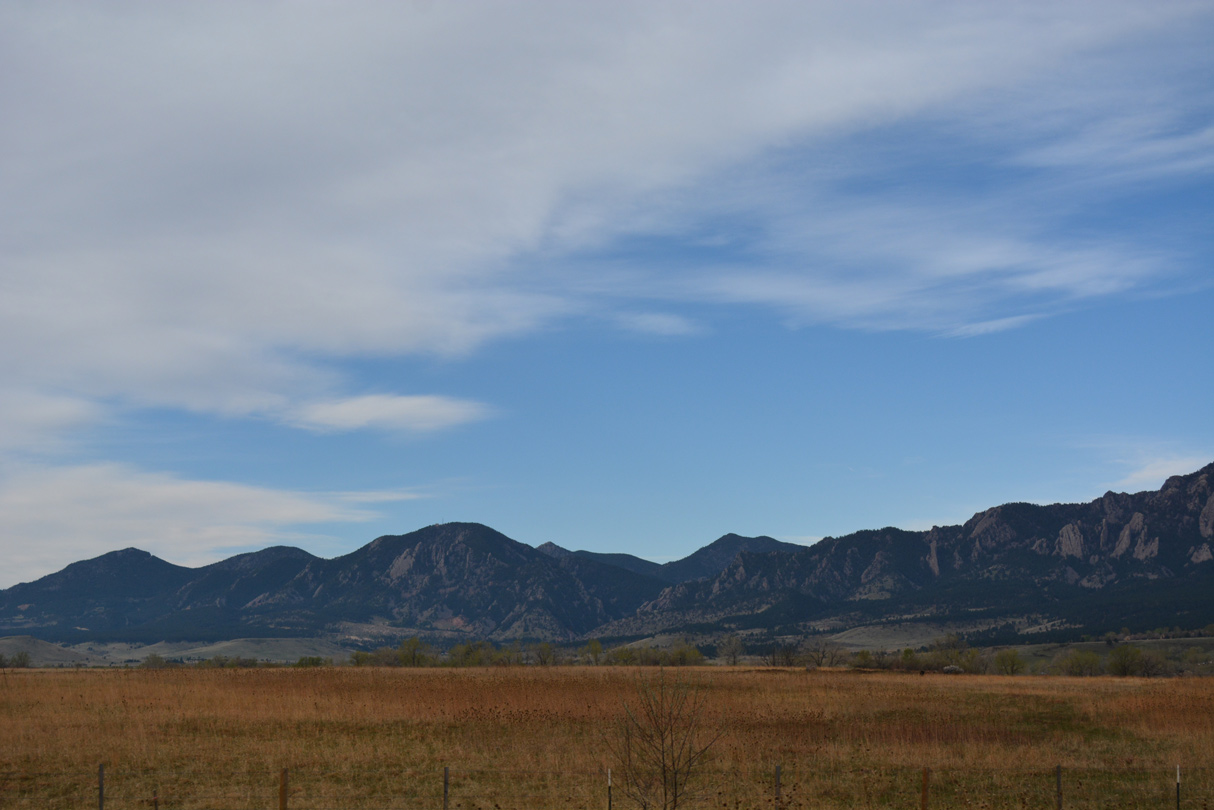
Looking southwest from U.S. 36 at Boulder Mountain.
04/23/17
04/23/17
The left lane defaults onto the Express Lane at the Cherrydale Road overpass.
04/23/17
04/23/17
The Denver-Boulder Turnpike Express Lane runs southeast to the exchange with I-25/270.
04/23/17
04/23/17
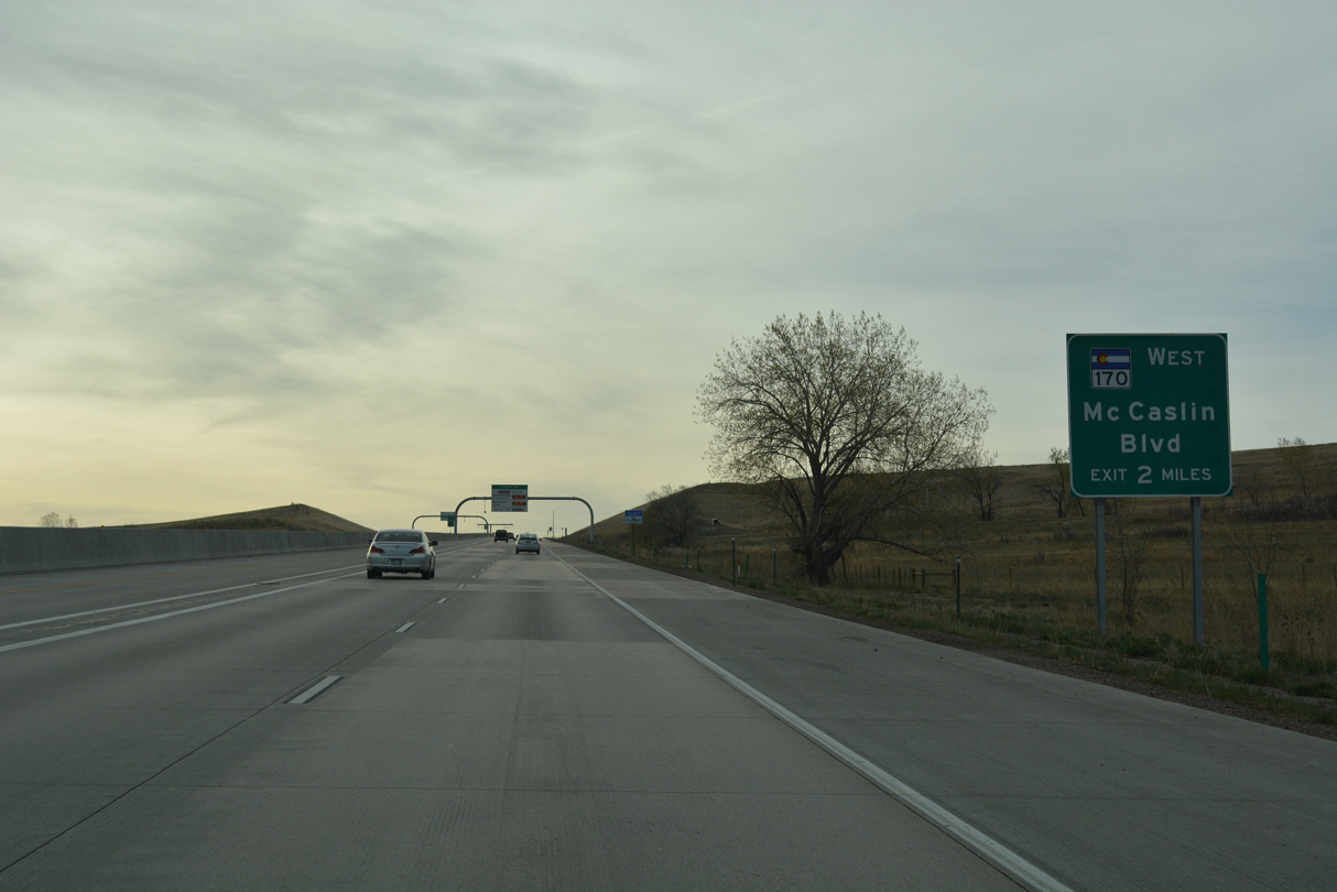
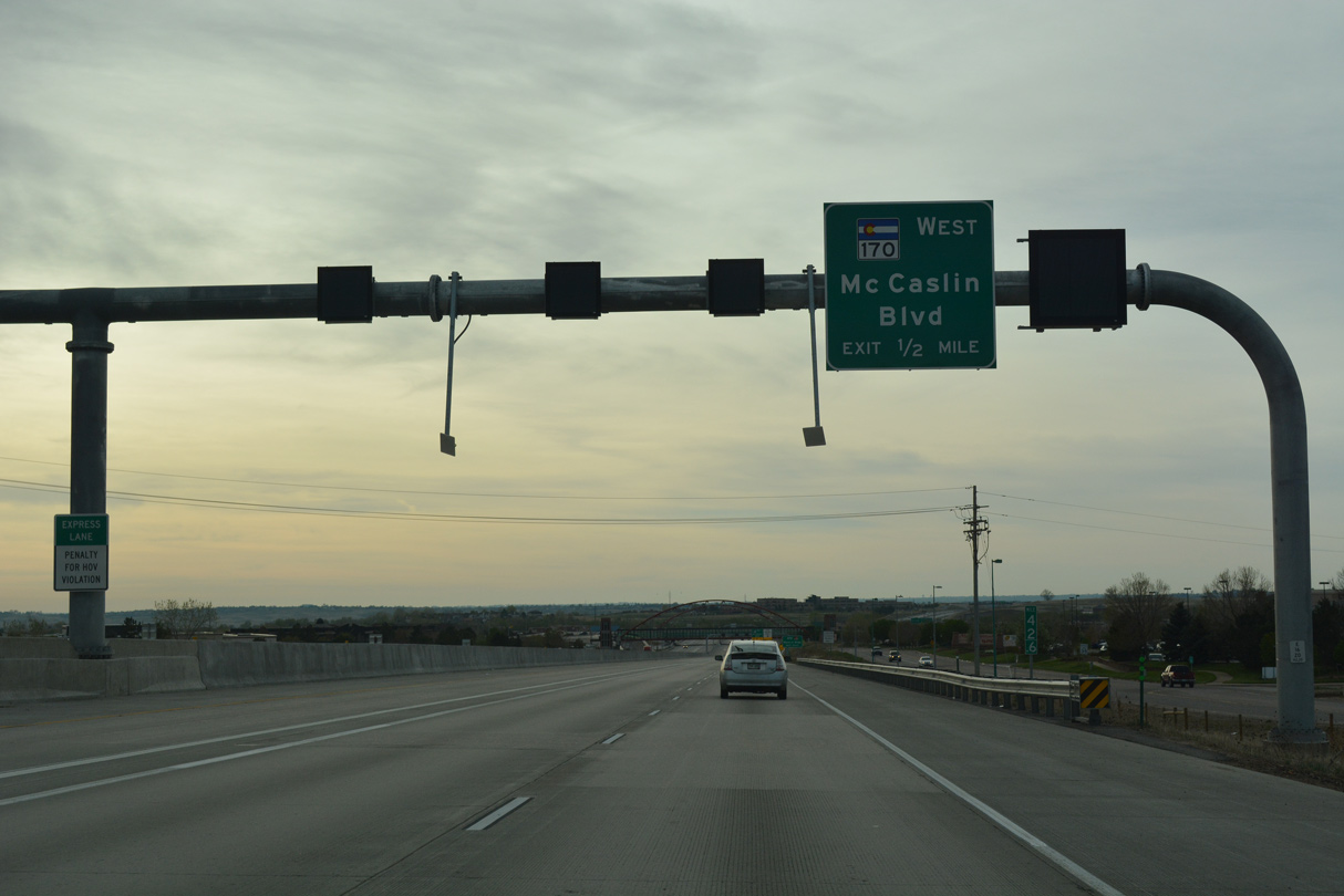
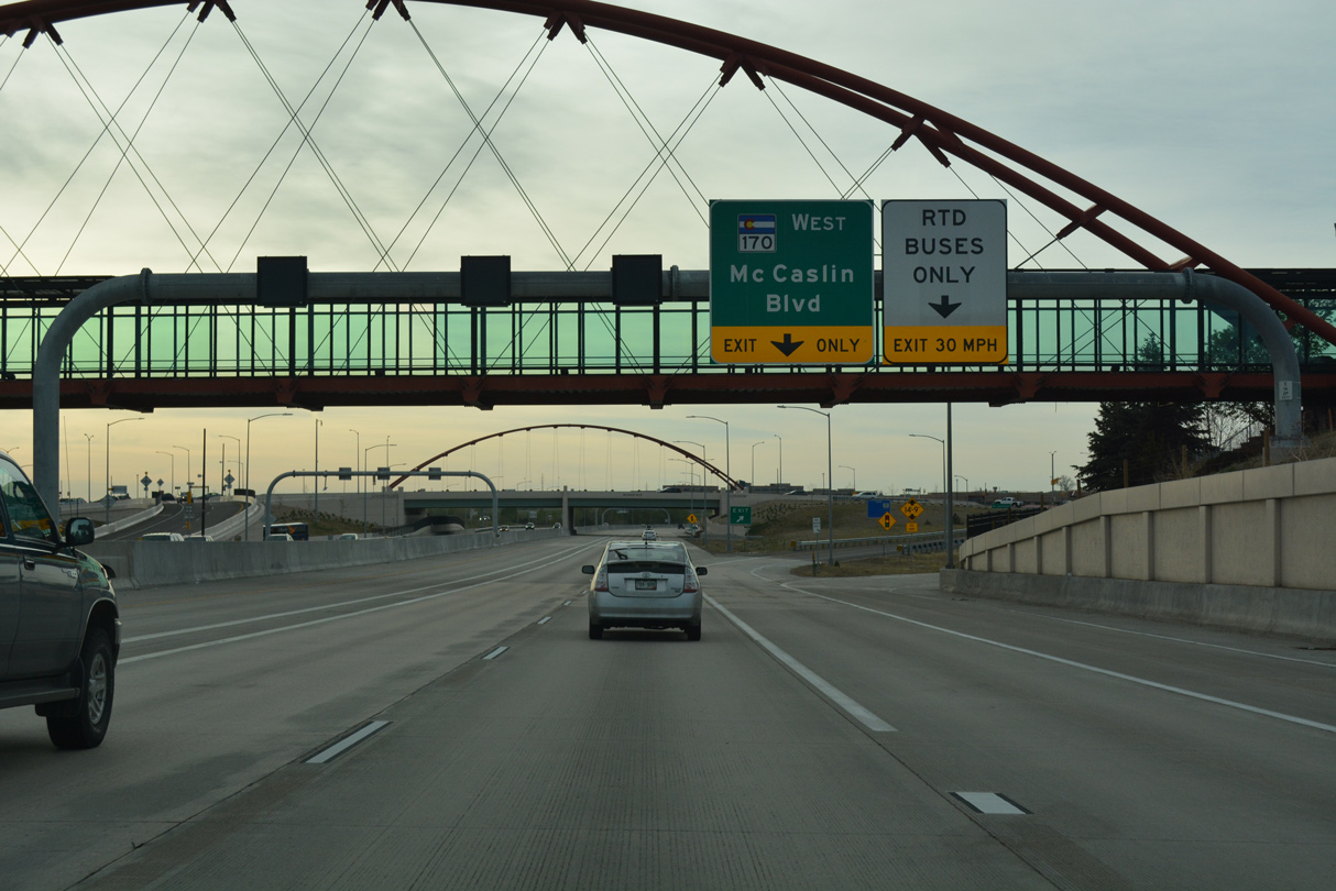
The succeeding exit follows Davidson Mesa with SH 170 (Mc Caslin Boulevard) west.
04/23/17
04/23/17
04/23/17
04/23/17
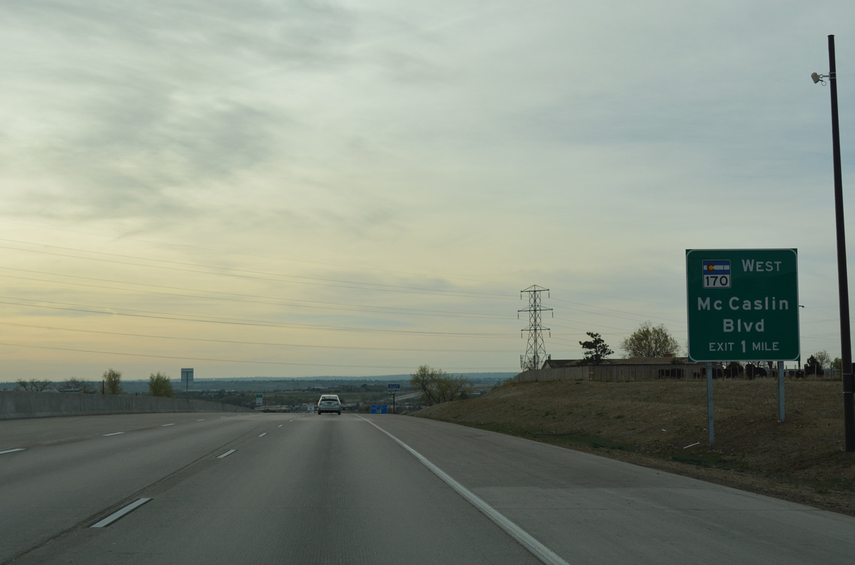
Beginning at the DDI with U.S. 36, SH 170 initially runs south 0.25 miles on Mc Caslin Boulevard to Marshall Road west. The 7.04 mile long highway spurs west to Eldorado Springs and Eldorado Canyon State Park.
04/23/17
04/23/17
U.S 36 (Denver-Boulevard Turnpike) also utilizes Bus Rapid Transit (BRT) on the outside shoulders.
04/23/17
04/23/17
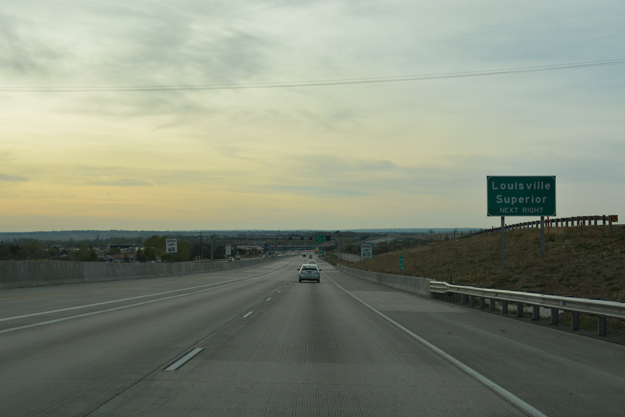
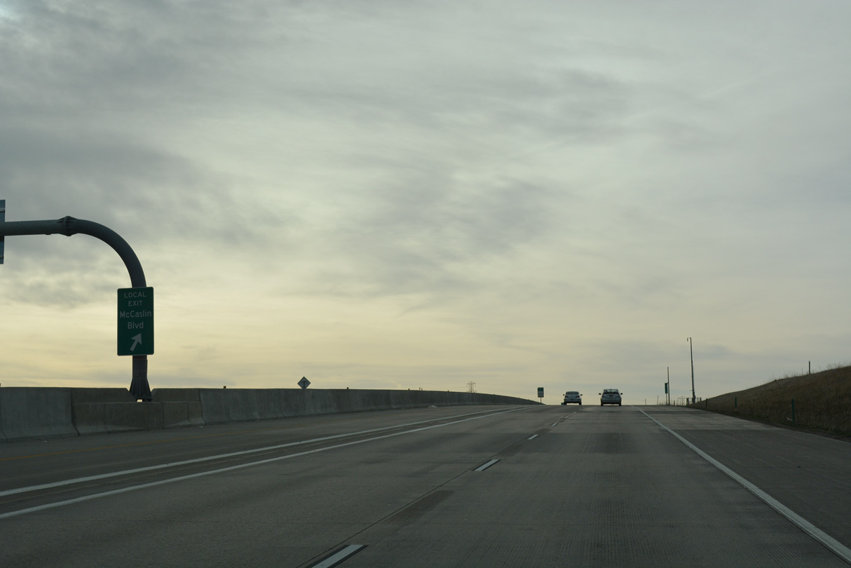
Previous guide signs for SH 170 west displayed Superior and Louisville. Mc Caslin Boulevard heads north into the city of Louisville and south through the town of Superior.
04/23/17
04/23/17
Mc Caslin Boulevard extends 3.34 miles south from SH 170 (Marshal Road) to SH 128 (W 120th Avenue) west of Rocky Mountain Metropolitan Airport (BJC).
04/23/17
04/23/17
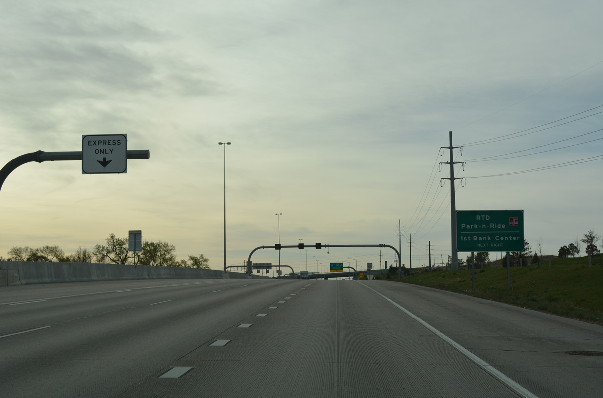
A pedestrian overpass spans U.S. 36 from a Park and Ride lot in Louisville. Sitting at an elevation of 5,530 feet, the city of Louisville was incorporated in 1888 and home to 21,226 per the 2020 census.
04/23/17
04/23/17
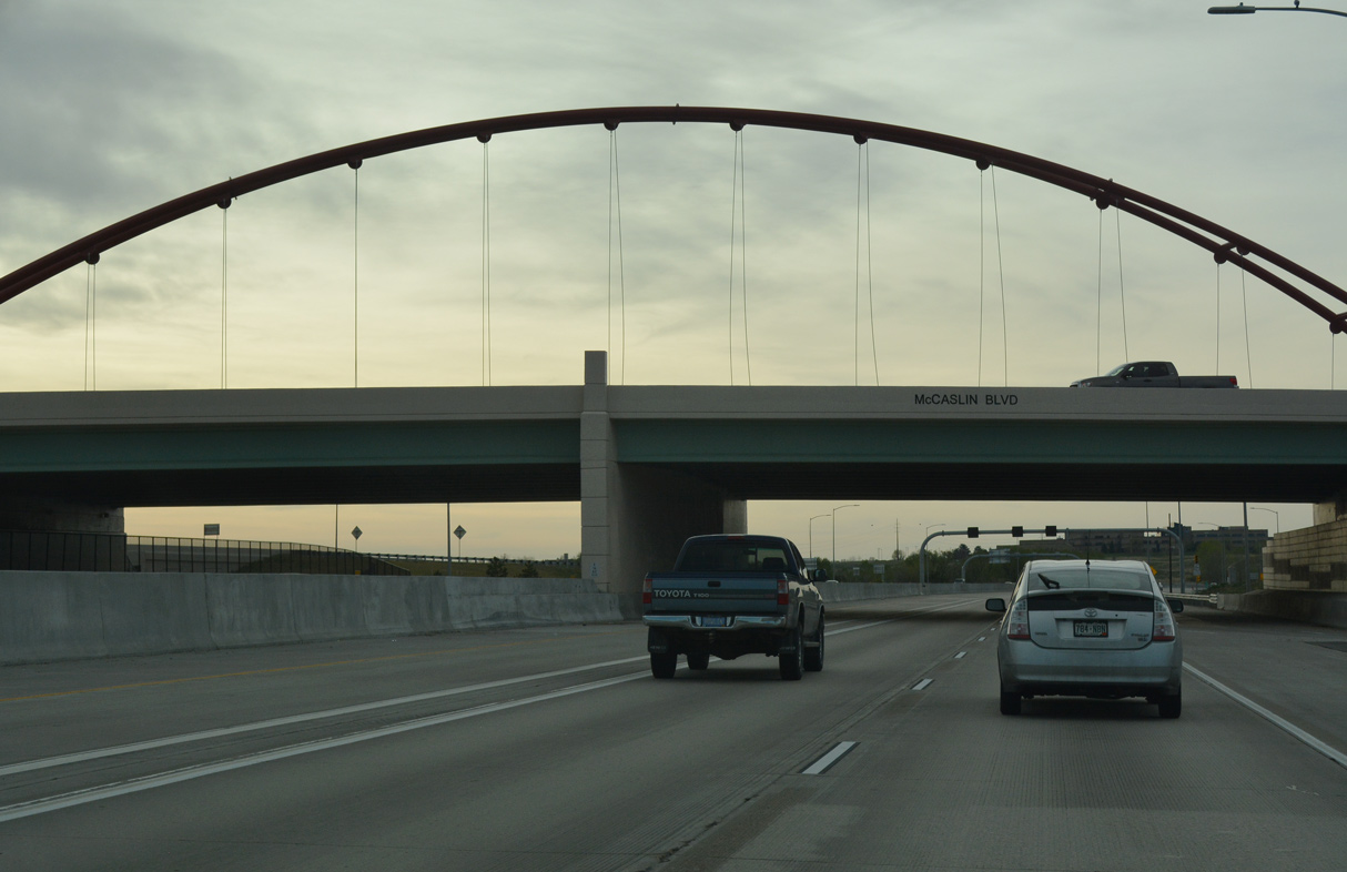
The diamond interchange joining U.S. 36 with Mc Caslin Boulevard was converted to a DDI in 2015. SH 170 (Marshall Road) was also realigned southward.
04/23/17
04/23/17
U.S. 36 advances southeast into the city/county of Broomfield.
04/23/17
04/23/17
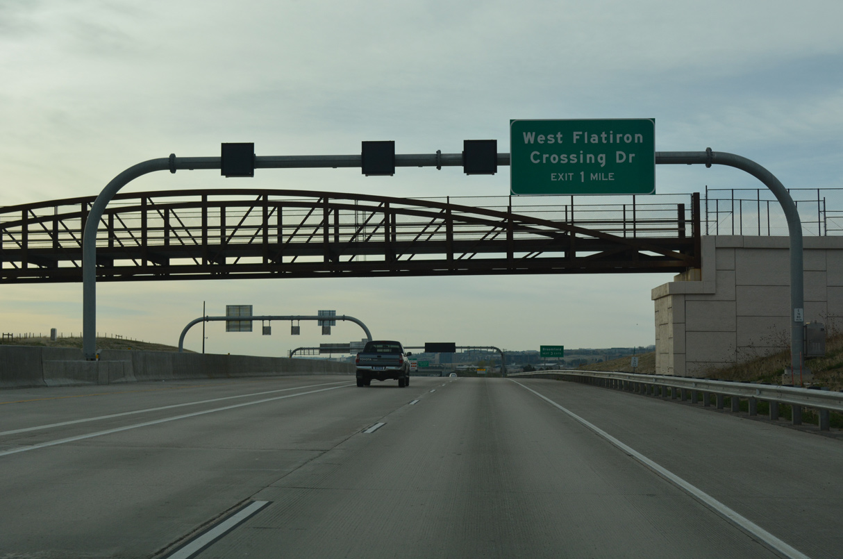
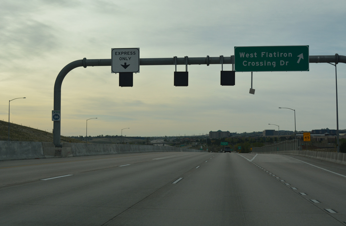
The first of three exits for Broomfield connects U.S. 36 eastbound with W Flatiron Crossing Drive at Frank Varra Park.
04/23/17
04/23/17
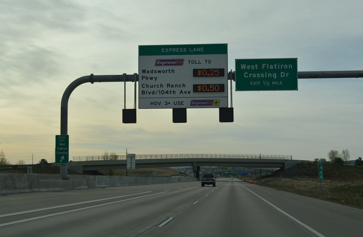
The wye interchange with W Flatiron Crossing Drive links with W Flatiron Circle at Flatiron Crossing mall.
04/23/17
04/23/17
04/23/17
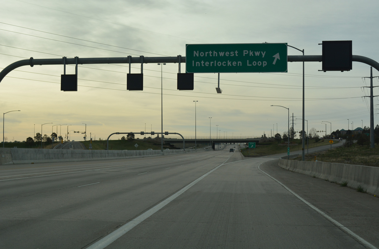
W Flatiron Crossing Drive leads south to Coalton Road and then east to become E Flatiron Crossing Drive at the grade separated intersection with Interlocken Loop.
04/23/17
04/23/17
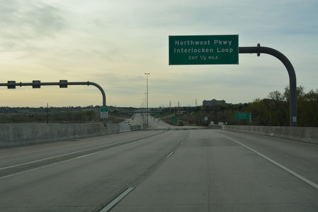
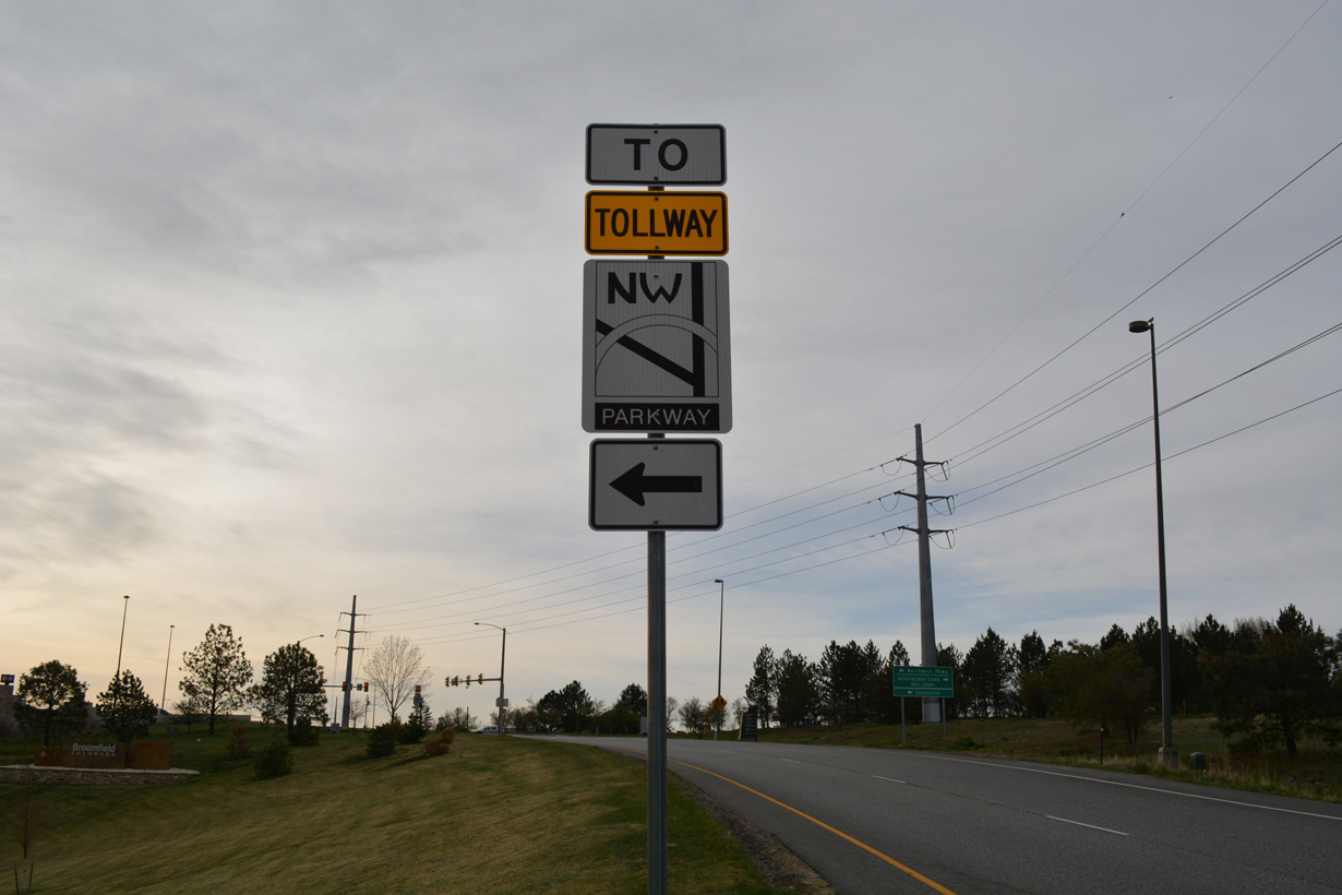
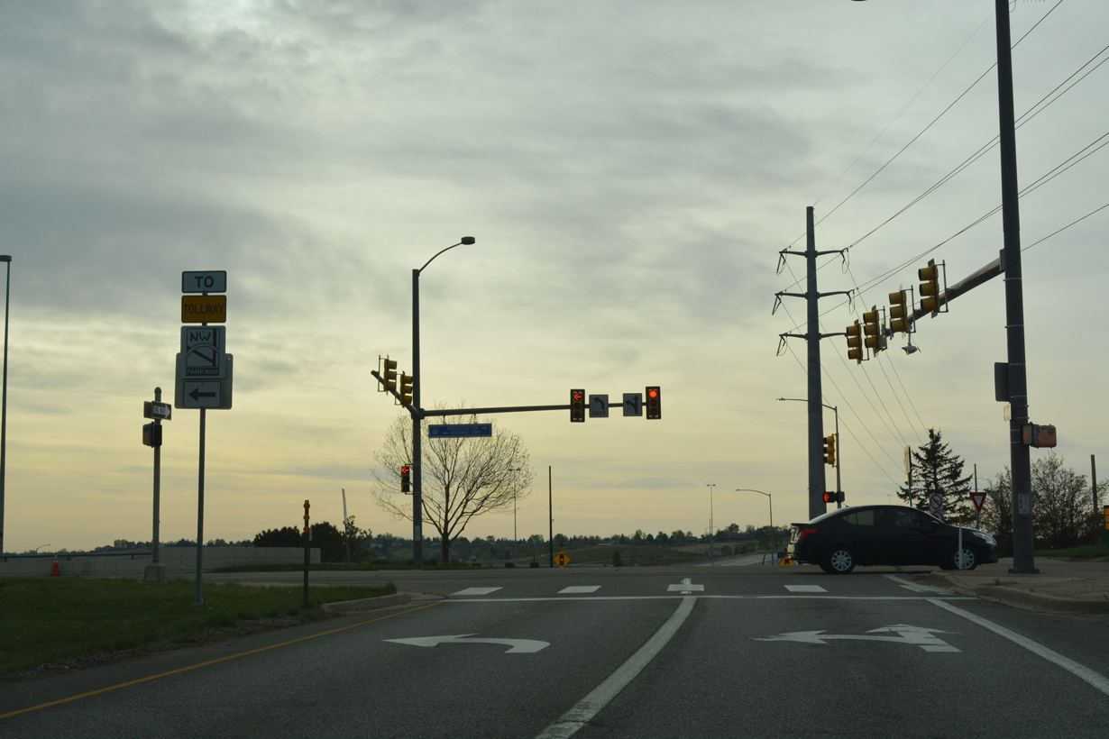
Northwestern Parkway ties into U.S. 36 (Denver-Boulder Turnpike) at the diamond interchange with Interlocken Loop in Broomfield.
04/23/17
04/23/17

Incorporated in 1961, Broomfield expanded rapidly, taking over portions of four counties: Boulder, Jefferson, Adams and Weld. In 2001, Broomfield became Colorado's 64th county after a three year transition period.
04/23/17
04/23/17
Northwest Parkway (SH 470N) transitions to a limited access toll road east from S 96th Street / Via Varra, 1.10 miles north of U.S. 36.
04/23/17
04/23/17
Interlacken Loop extends 1.26 miles south from Northwestern Parkway at U.S. 36 to SR 128 near Rocky Mountain Metropolitan Airport (BJC).
04/23/17
04/23/17
Opened on November 24, 2003, Northwest Parkway (SH 470N) brought a connection from Broomfield to E-470 for I-76 and Denver International Airport (DEN).
04/23/17
04/23/17
Northwest Parkway (SH 470N) arcs 8.00 miles east from S 96th Street to a four level interchange with I-25 and the E-470 toll road.
04/23/17
04/23/17
04/23/17
04/23/17
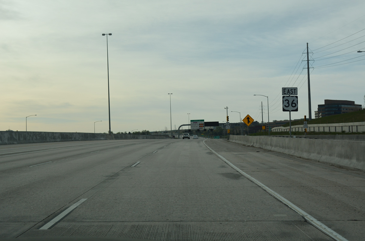
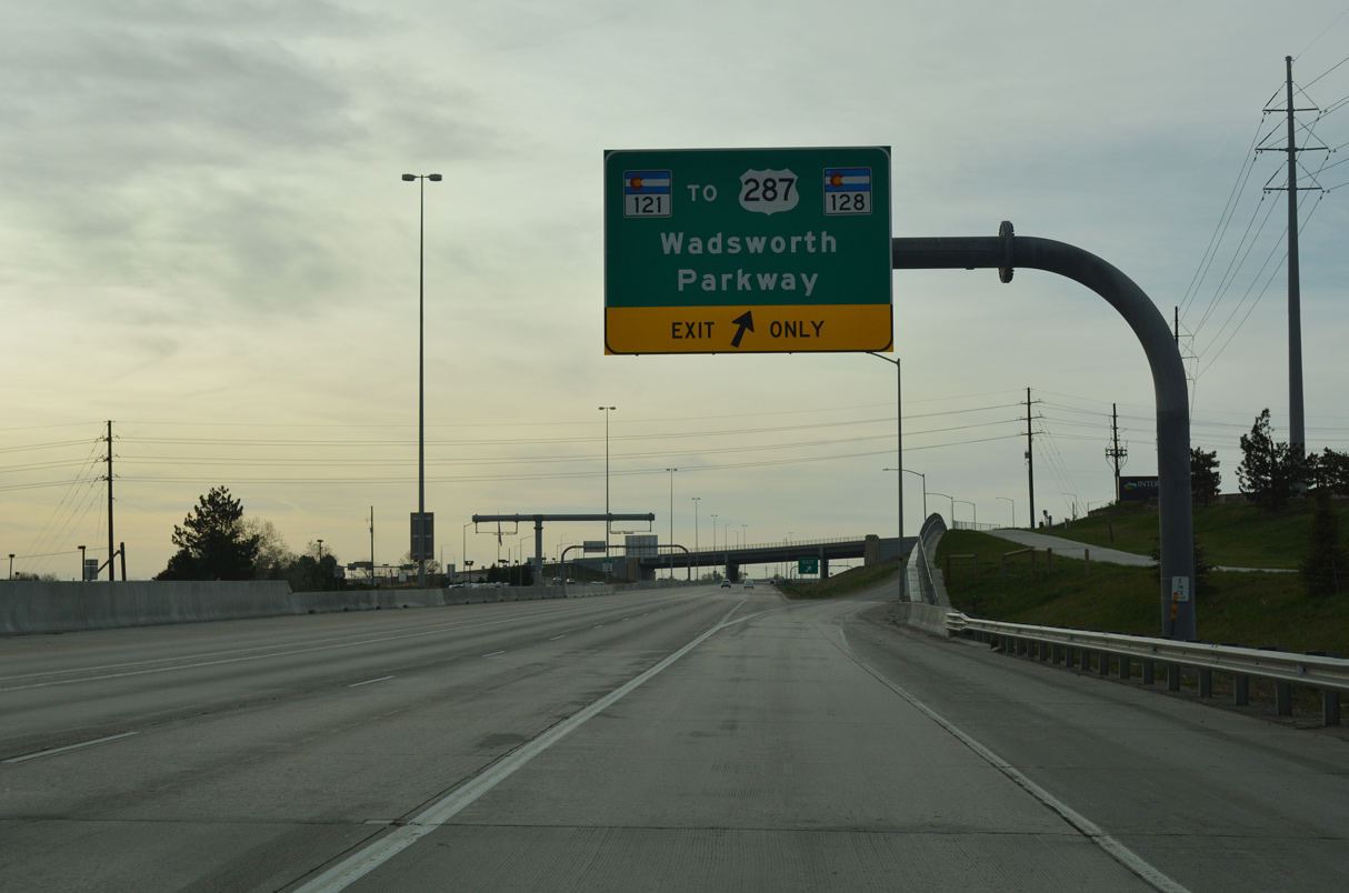
The succeeding exit from U.S. 36 east is the parclo interchange with SH 121 (Interlacken Loop) between SH 128 and U.S. 287.
04/23/17
04/23/17
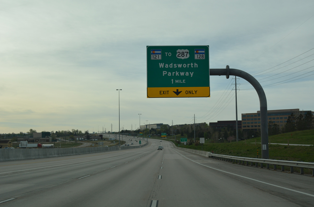
Forthcoming SH 121 travels south from Broomfield to the city of Arvada along Wadsworth Parkway.
04/23/17
04/23/17
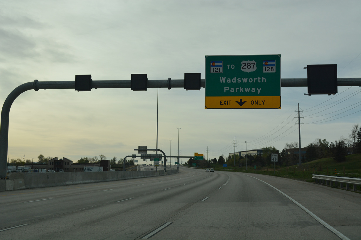
SH 121 constitutes a 26.07 mile long arterial route from adjacent U.S. 287 in Broomfield south to Wheat Ridge, Lakewood, Denver and Kassler by Chatfield Lake.
04/23/17
04/23/17
04/23/17
1stBank Center is a concert arena located east of SH 121 (Wadsworth Parkway) along Arista Place.
04/23/17
04/23/17
U.S. 287 heads north from Broomfield to Lafayette and east from SH 121 alongside SH 128 into north Westminster. SH 128 concludes to the east at I-25 in Northglenn while U.S. 287 meets U.S. 36 again south along Federal Boulevard.
04/23/17
04/23/17
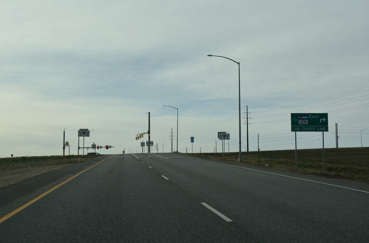
SH 128 runs 9.11 miles west from U.S. 287 (W 120th Avenue) to Rocky Mountain Metropolitan Airport (BJC) and SH 93 in south Boulder County.
04/23/17
04/23/17
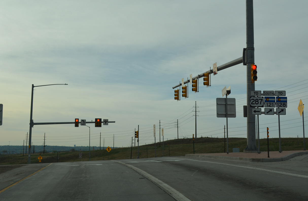
SH 121 (Interlocken Loop) north ties into U.S. 287 at a trumpet interchange. U.S. 287 travels to Longmont, Loveland and Fort Collins.
04/23/17
04/23/17

Photo Credits:
- ABRoads: 04/23/17
Connect with:
Page Updated Tuesday January 04, 2022.