
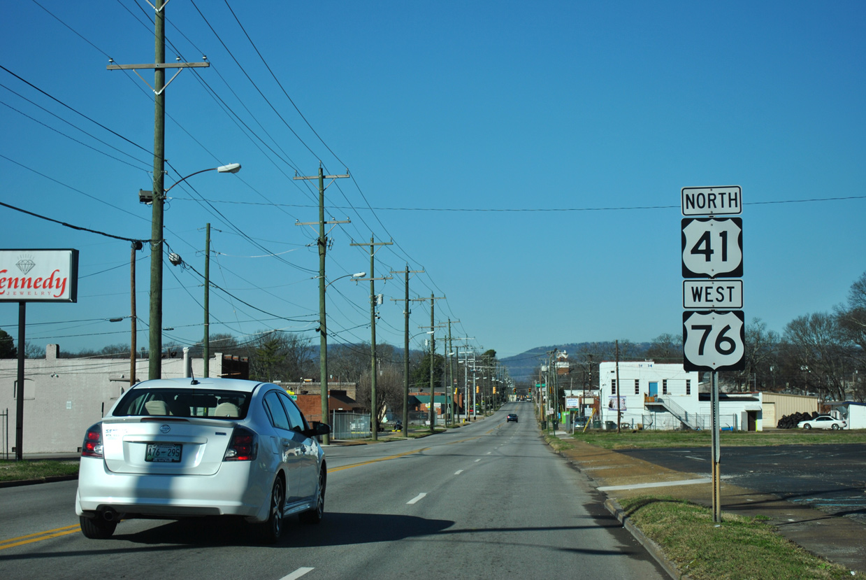
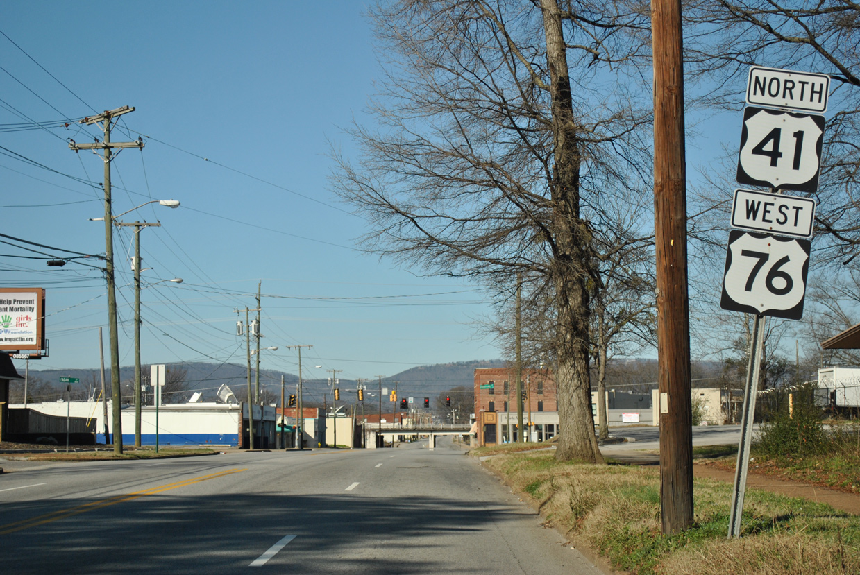
U.S. 41/76 North - Chattanooga
 North
North  West
West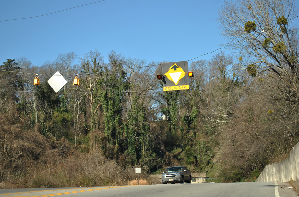
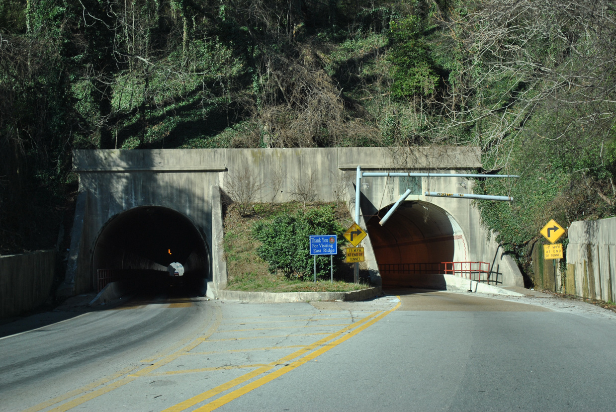
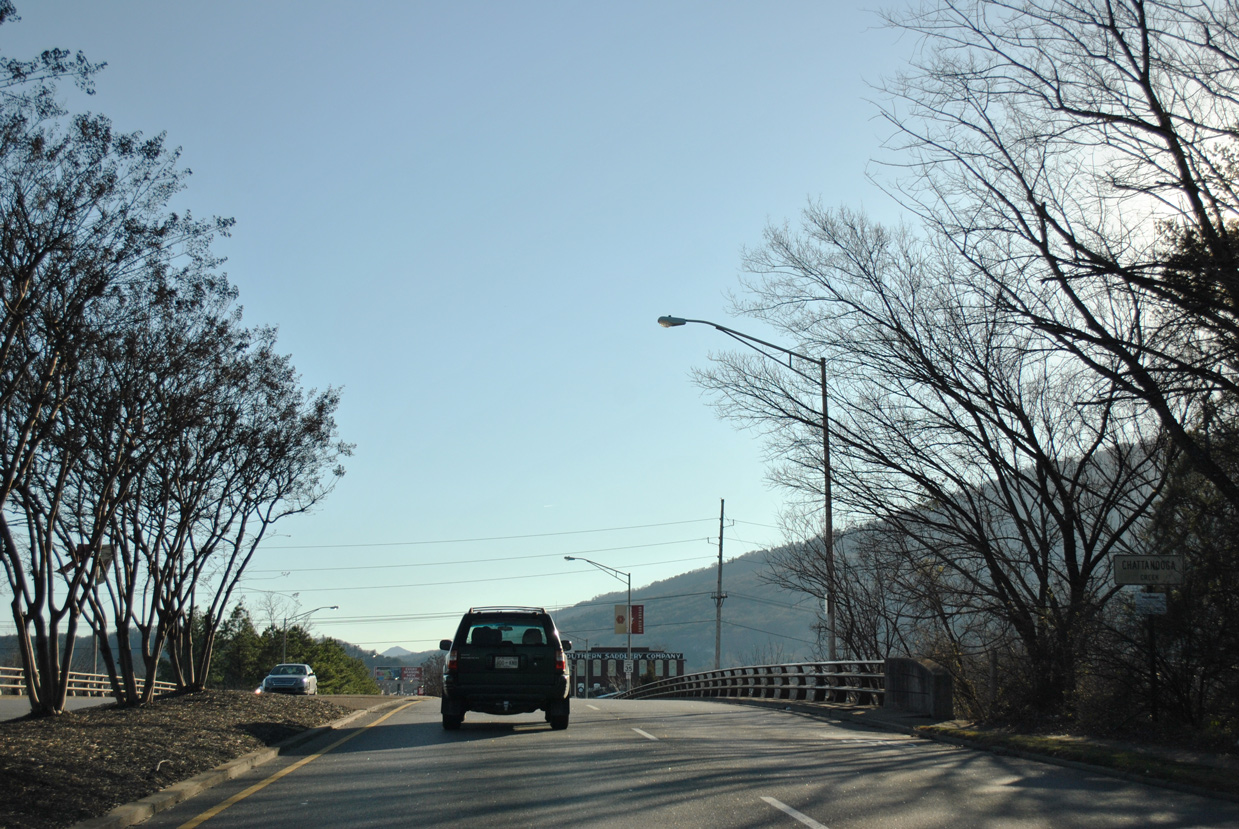
U.S. 41/76 (Ringgold Road) advance west to the Bachman Tunnels and Chattanooga city line. The tunnels run between S Seminole Drive and E 29th Street.
01/20/13
01/20/13
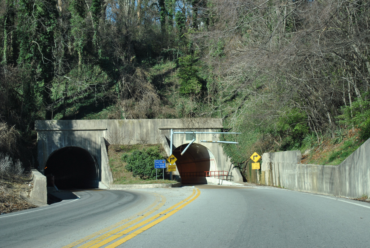
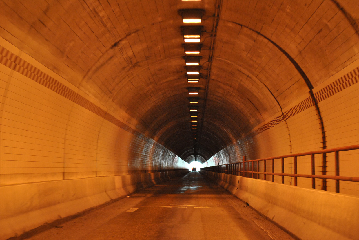
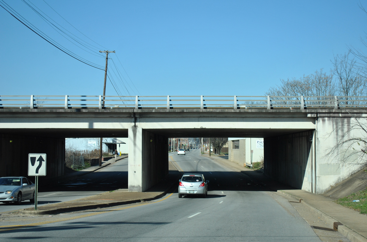
U.S. 41/76 separate into single lane tubes through the Bachman Tunnels.
01/20/13
01/20/13
01/20/13
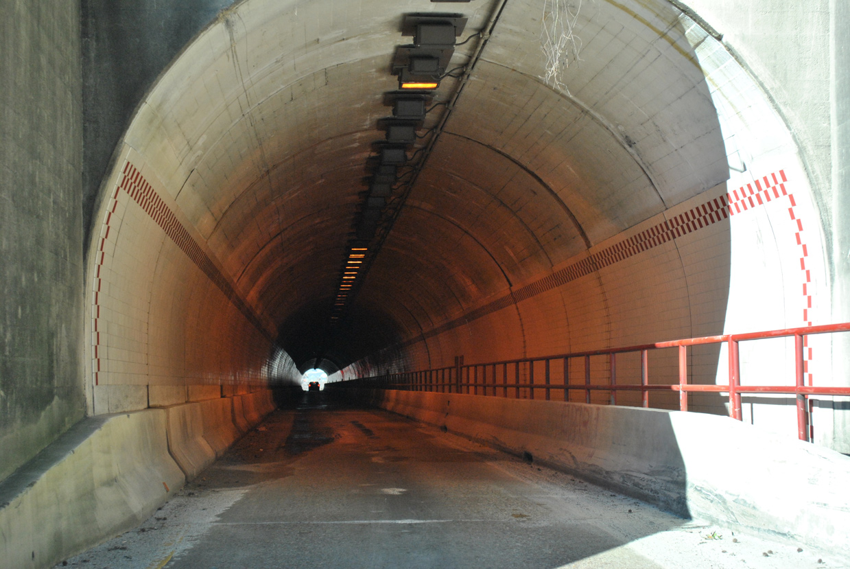
Measuring 1,035 feet in length, the Bachman Tunnels opened in 1929 (Baughn, n.d.).
01/20/13
01/20/13
01/20/13
01/20/13
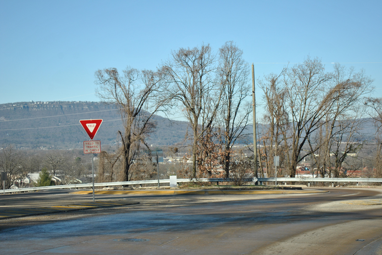
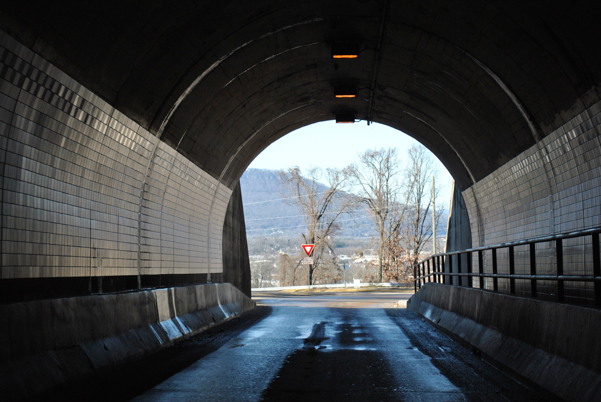
U.S. 41/76 exit the Bachman Tunnels into a roundabout joining E 29th Street with Westside Drive.
01/20/13
01/20/13

U.S. 41/76 follow Westside Drive north to Interstate 24 at Fort Cheatham.
01/20/13
01/20/13
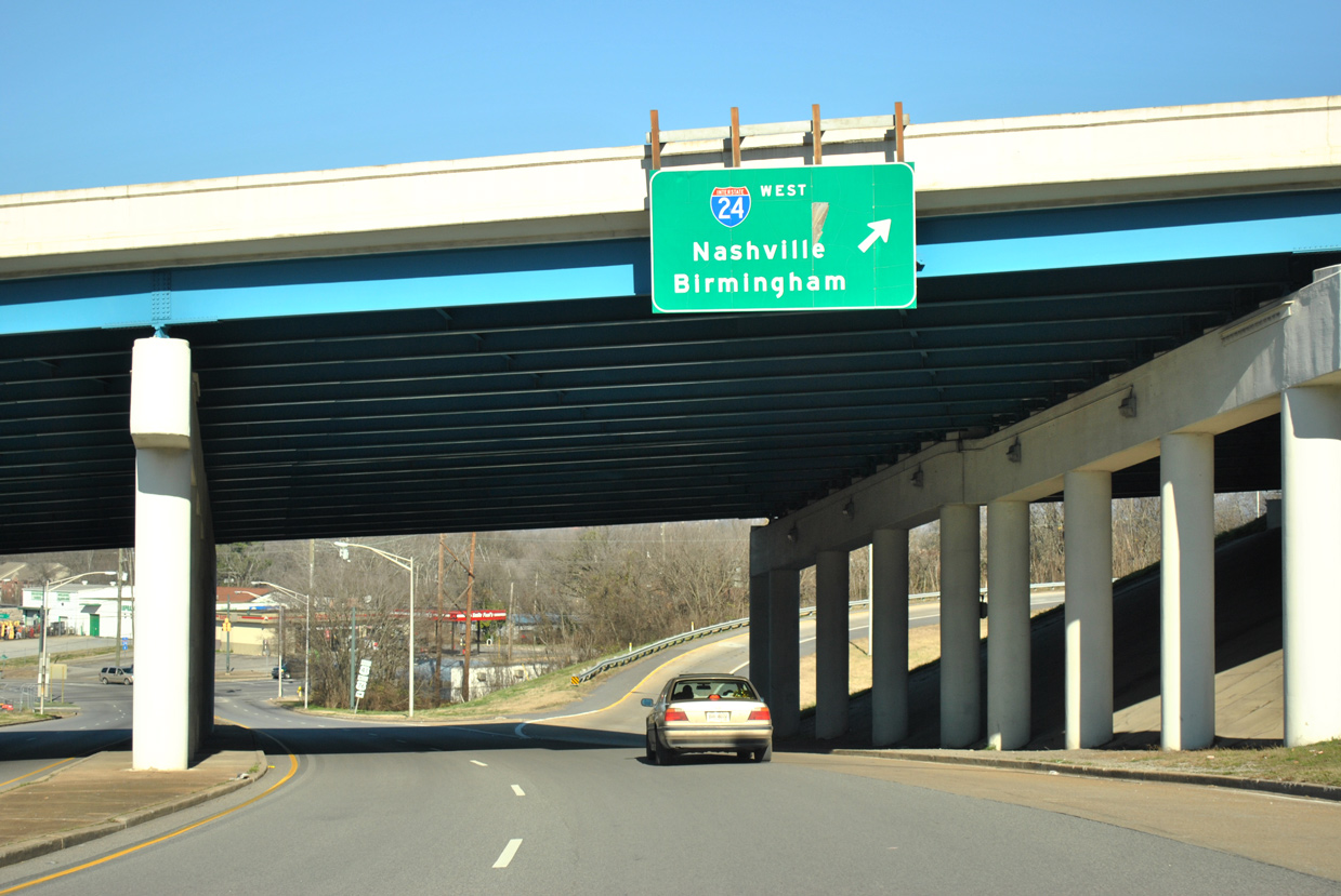
A loop ramp joins U.S. 41/76 (Westside Drive) north with Interstate 24 west.
01/20/13
01/20/13
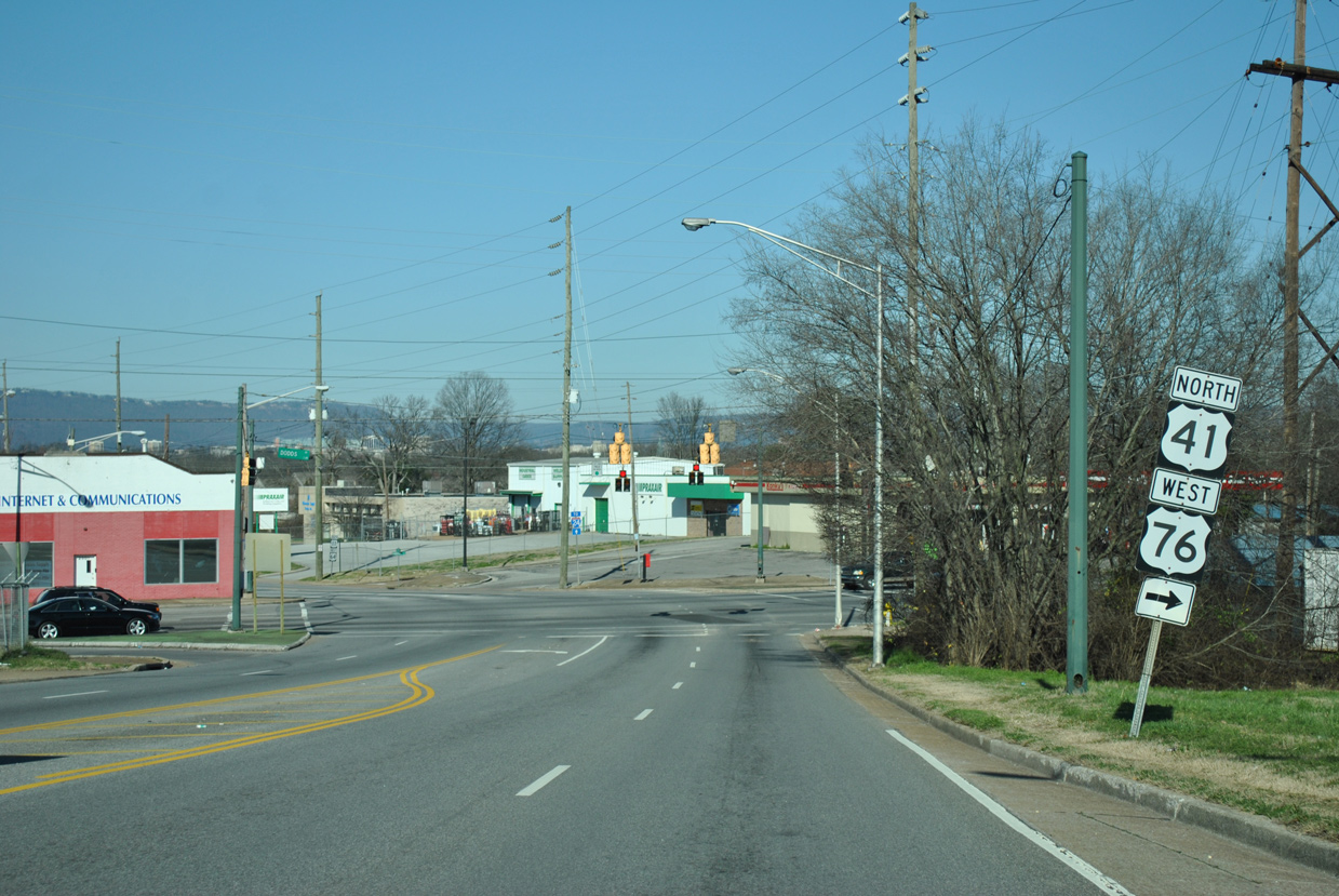
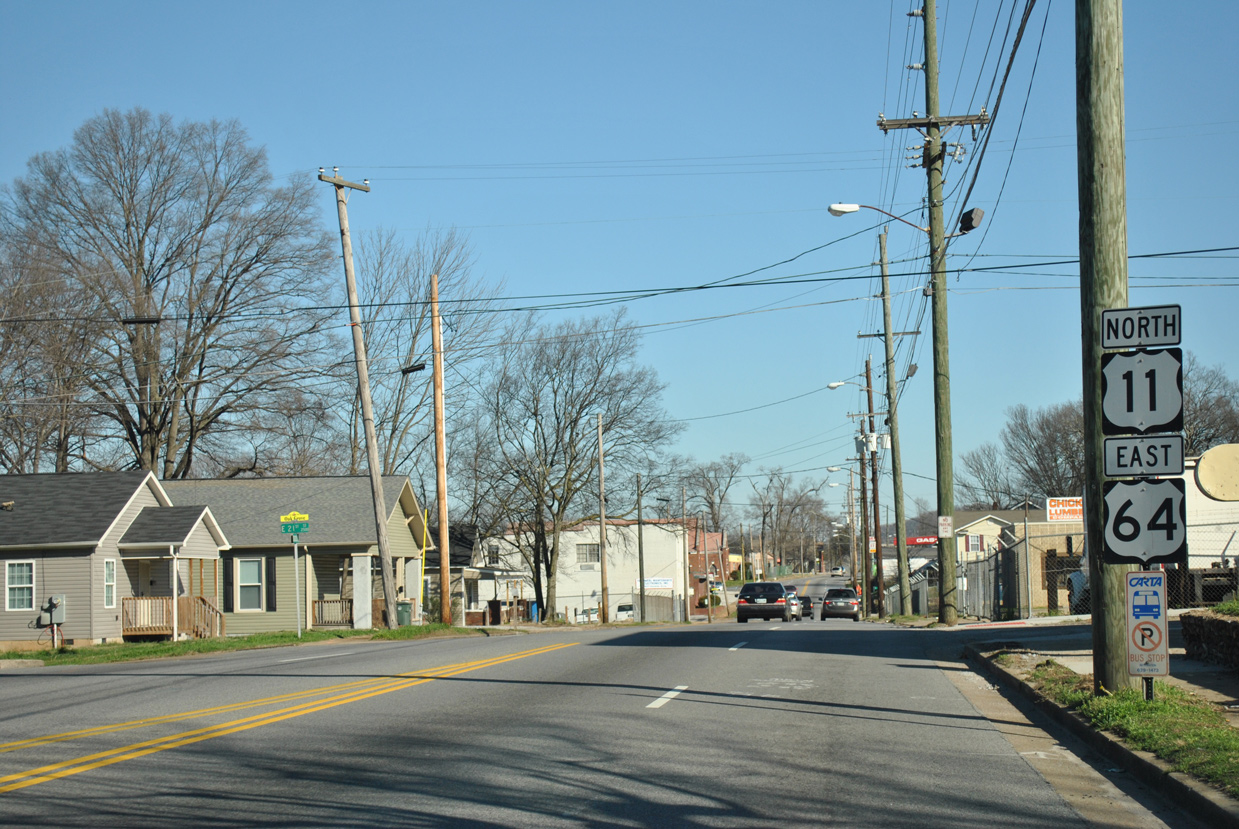
U.S. 41/76 combine with U.S. 11/64 at an unmarked intersection with E 23rd Street.
01/20/13
01/20/13
U.S. 11/64 parallel I-24 west along E 23rd Street 1.51 miles to combine with U.S. 27 at Rossville Boulevard.
01/20/13
01/20/13
 North
North  East West
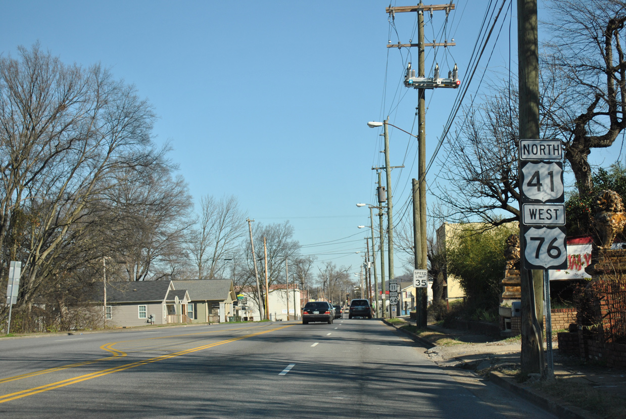
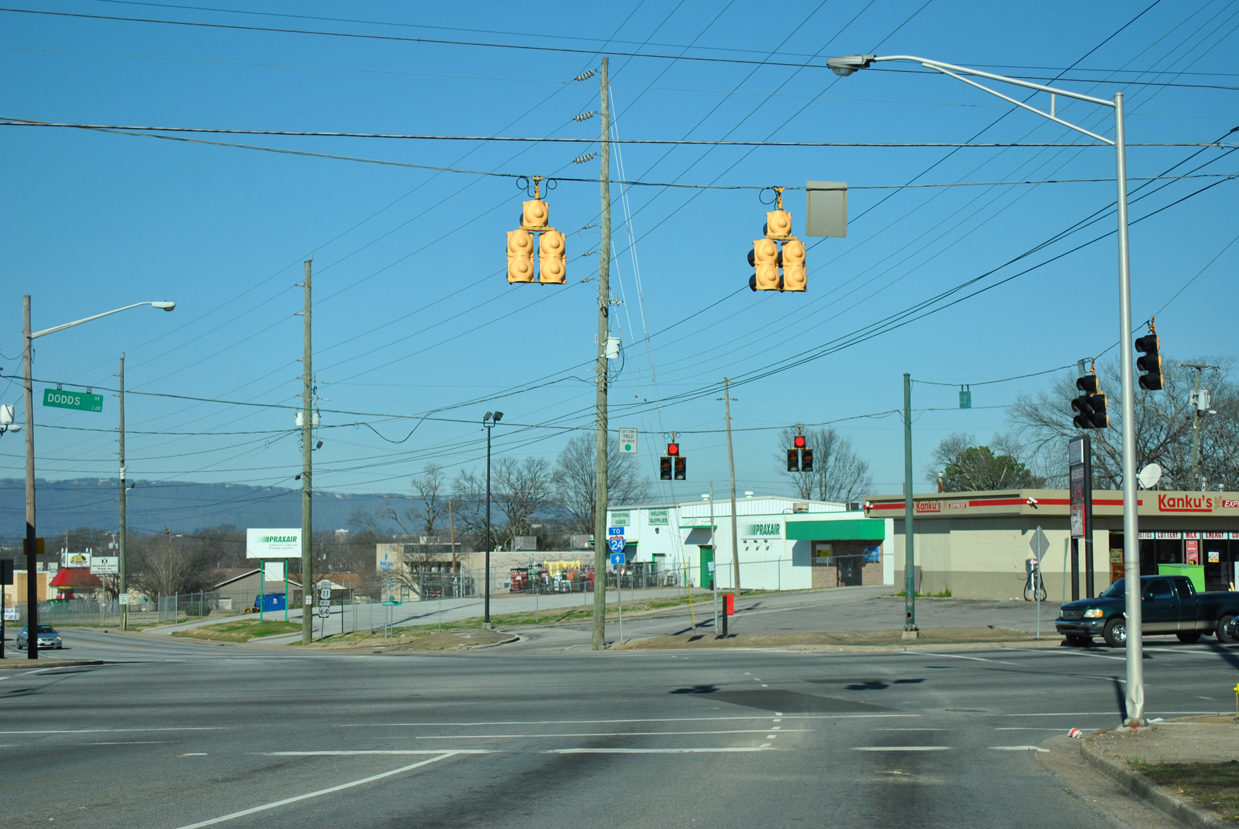
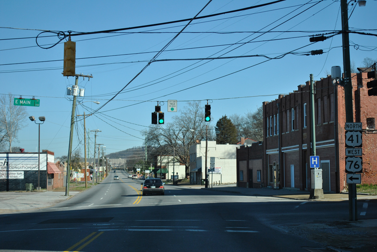
U.S. 11-41-64-76 overlap six blocks north along Dodds Avenue to E Main Street.
01/20/13
01/20/13
U.S. 11/64 continue along Dodds Avenue north from U.S. 41/76 through the Ridgedale neighborhood.
01/20/13
01/20/13
U.S. 11/64 head 0.72 miles north to McCallie Avenue east for the Missionary Ridge Tunnel.
01/20/13
01/20/13
North West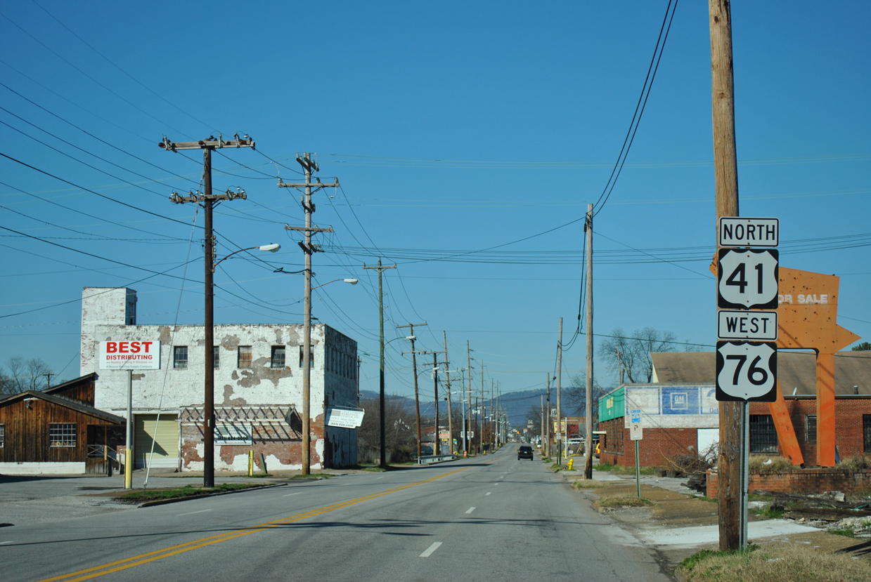
U.S. 41/76 run west along E Main Street between the Oak Grove and Ridgedale neighborhoods.
01/20/13
01/20/13
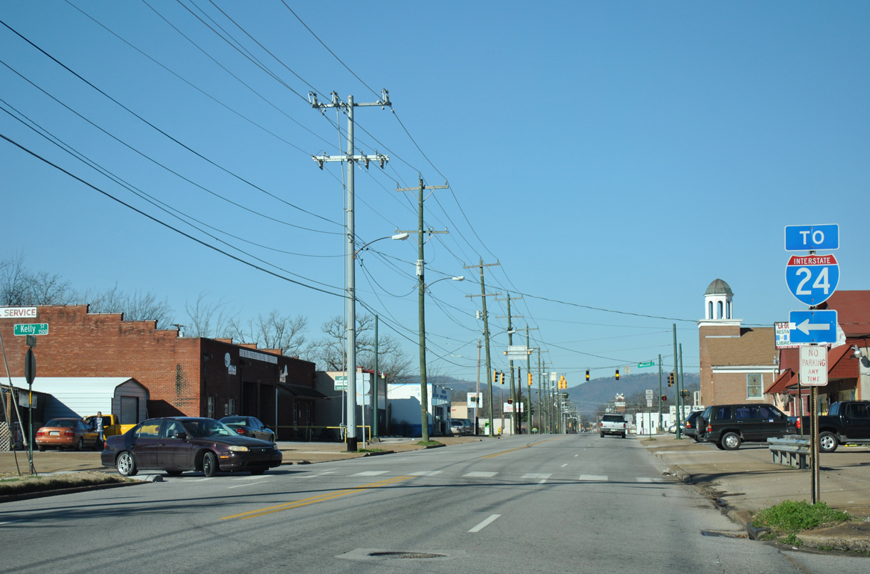
Kelly Street leads south to a diamond interchange (Exit 181) with Interstate 24.
01/20/13
01/20/13

Unsigned along U.S. 41/76 (E Main Street), SR 17 stems north along Willow Street along an 8.93 mile course northeast to SR 58 and SR 158 near the Cherokee Woods neighborhood in Chattanooga.
01/20/13
01/20/13
01/20/13

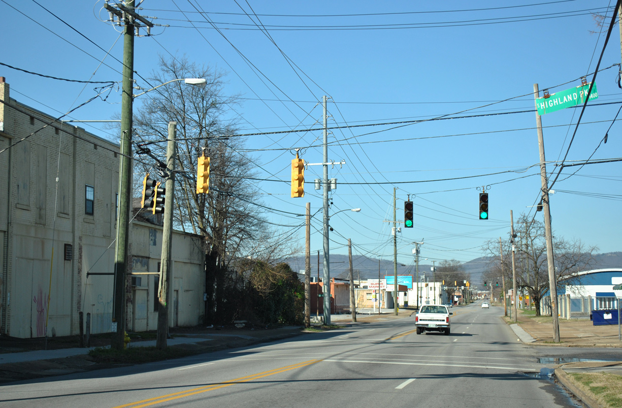
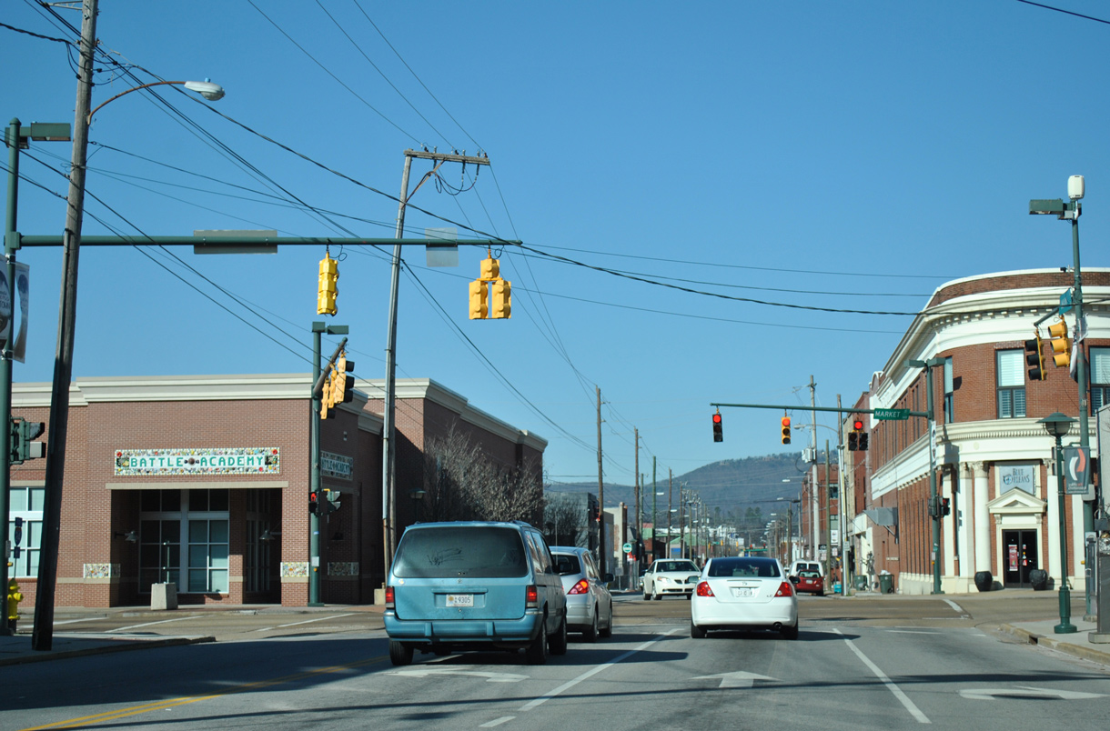
E Main Street at Orchard Knob Avenue and the Highland Park neighborhood.
01/20/13
01/20/13
01/20/13
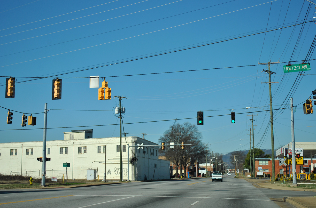
Holtzclaw Avenue stems north from U.S. 27 (Rossville Boulevard) to Chattanooga National Cemetery and Chattanooga Zoo at Warner Park.
01/20/13
01/20/13
01/20/13
01/20/13
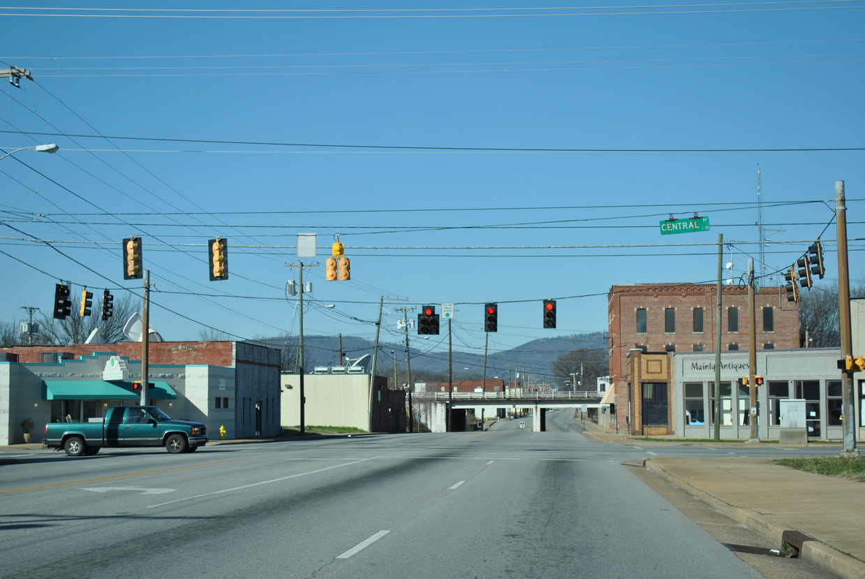
E Main Street passes below a pair of Norfolk Southern Railroad tracks west of Central Avenue.
01/20/13
01/20/13

The reassurance markers posted at Washington Street were removed in 2018.
01/20/13
01/20/13
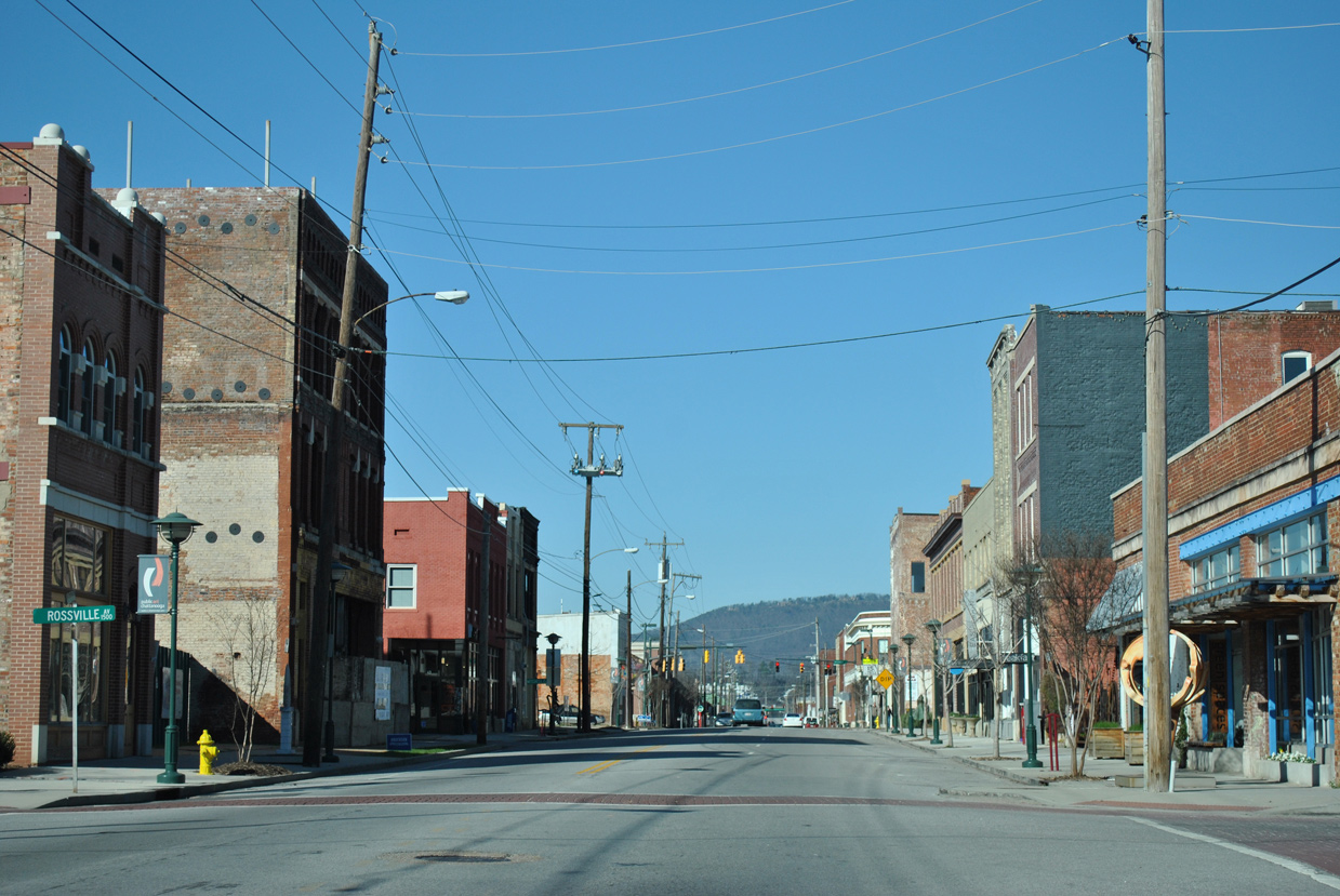
A local section of Rossville Avenue discontinuous with the portion along U.S. 27 intersects E Main Street at Jefferson Heights neighborhood.
01/20/13
01/20/13
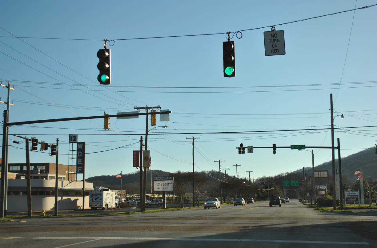
U.S. 76 splits with U.S. 41 (E Main Street) northbound at Market Street. SR 27 follows Market Street south 0.34 miles to U.S. 11/64 (W 20th Street) at SR 58. All routes are unmarked at this intersection.
01/20/13
01/20/13
North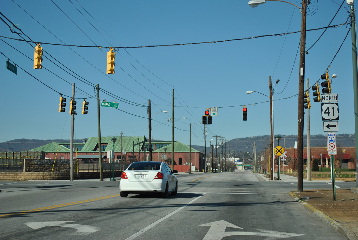
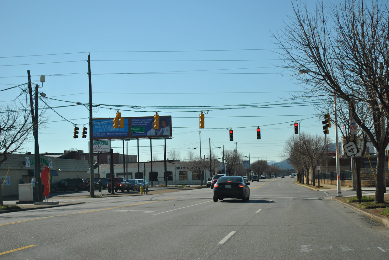
U.S. 41 proceeds four blocks west along Main Street from U.S. 76/SR 27 (Market Street) to the unsigned east end of U.S. 72 at Broad Street.
01/20/13
01/20/13
Formerly a part of U.S. 72, SR 8 (Broad Street) leads 0.64 miles south from the shared end point of U.S. 76/127 in Downtown Chattanooga to become a part of U.S. 41 along Main Street east.
01/20/13
01/20/13
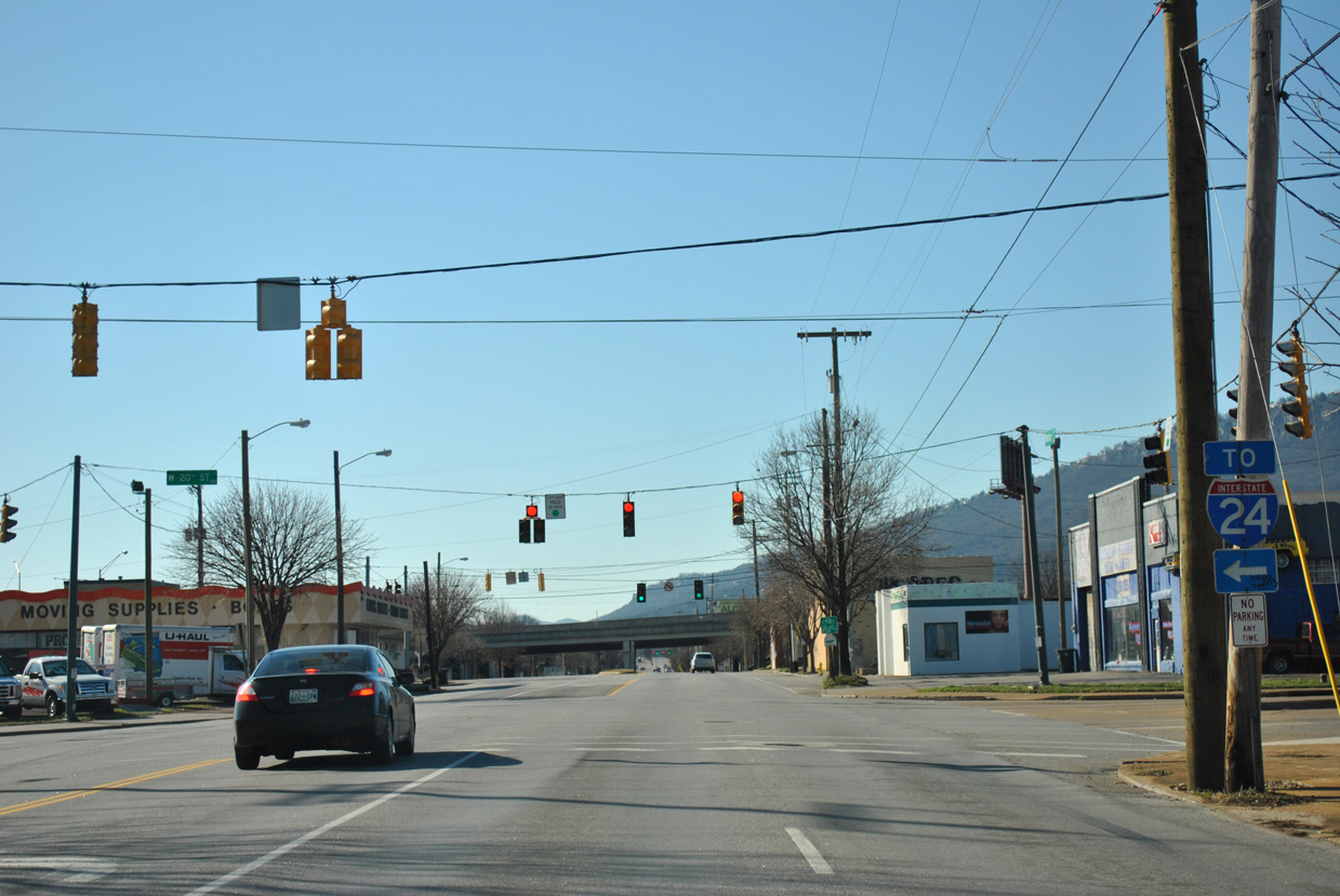
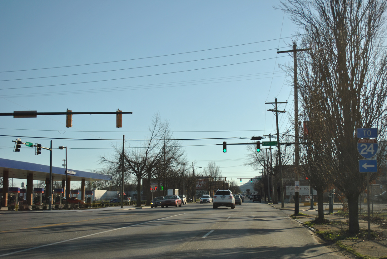
A trailblazer for Interstate 24 is the lone shield assembly posted at E 20th Street, where U.S. 41/72 (Broad Street) combine with U.S. 11 south and U.S. 64 west.
01/20/13
01/20/13
South North  West
West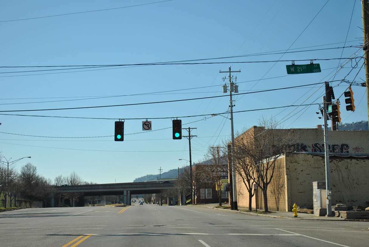
U.S. 11-41-64-72 (Broad Street) intersect W 21st Street one block ahead of the Big Scramble Interchange with Interstate 24.
01/20/13
01/20/13
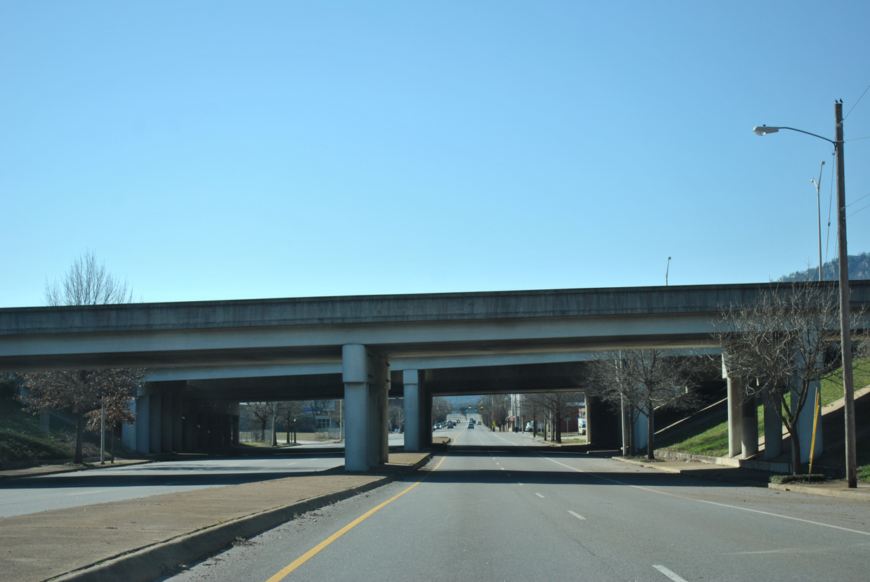
Loop ramps connect I-24 and Broad Street in the northbound direction.
01/20/13
01/20/13
W 25th Street leads three blocks east to Long Street for the entrance ramp to I-24 eastbound.
01/20/13
01/20/13
01/20/13
Broad Street crosses Chattanooga Creek and Norfolk Southern Railroad tracks south of W 28th Street.
01/20/13
01/20/13
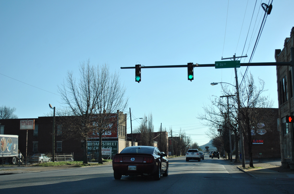
U.S. 11-41-64-72 (Broad Street) at 33rd Street.
01/20/13
01/20/13
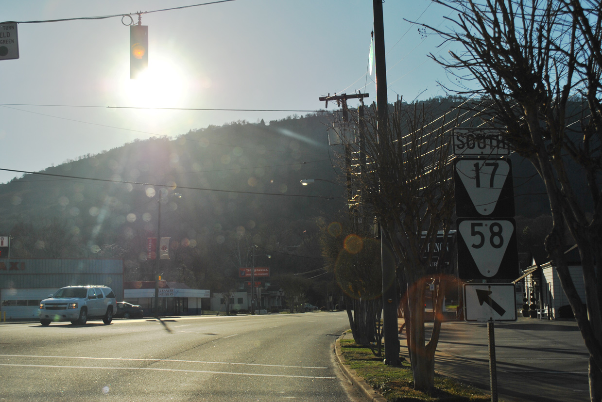
SR 17 branches south from U.S. 11-41-64-72 along Tennessee Avenue. SR 17 connects with SR 58 to Rock City in Lookout Mountain, Georgia.
01/20/13
01/20/13

SR 17 runs south into the Historic St. Elmo community to Georgia Route 193. U.S. 11-41-64-72 turn west along the north side of Lookout Mountain.
01/20/13
01/20/13
01/20/13
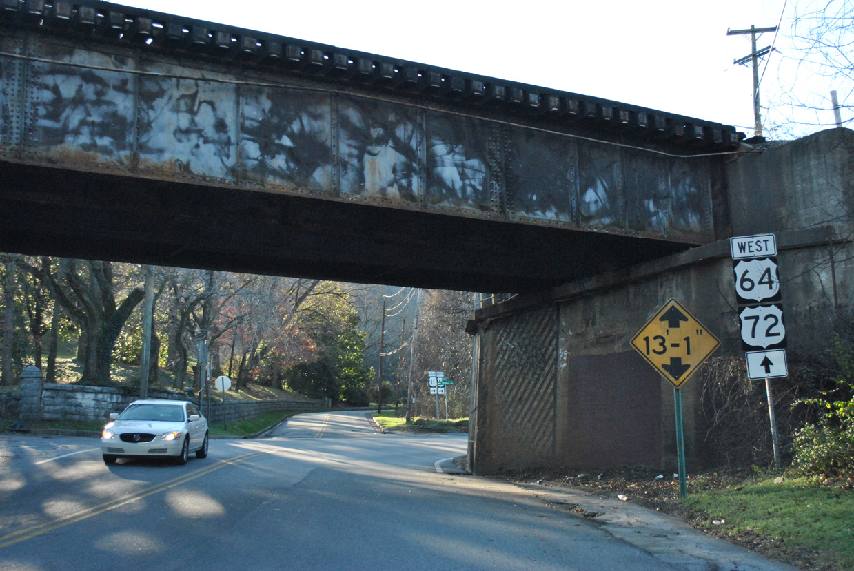
U.S. 11-41-64-72 transition from Broad Street to Cummings Highway beyond the Norfolk Southern Railroad overpass by W 37th Street.
01/20/13
01/20/13

01/20/13
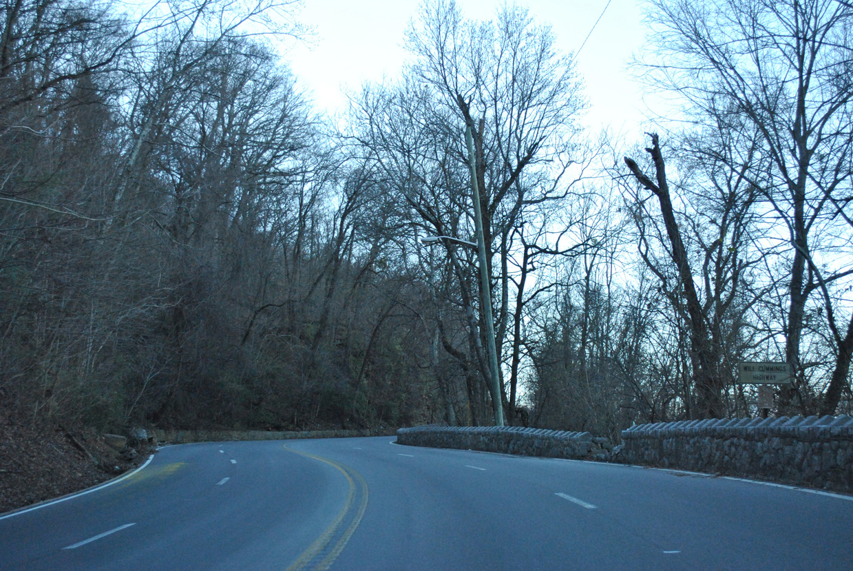
U.S. 11-41-64-72 expand to four lanes along the Will Cummings Highway.
01/20/13
01/20/13
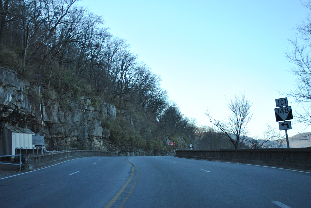
SR 148 stems 3.98 miles south from Cummings Highway into the town of Lookout Mountain.
01/20/13
01/20/13
01/20/13
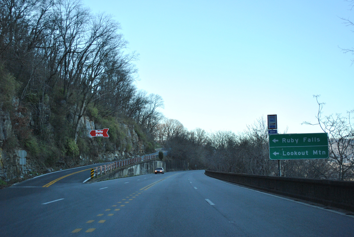
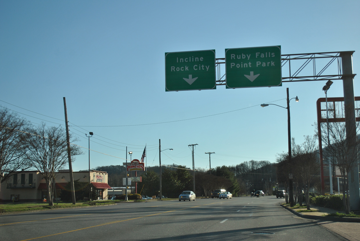
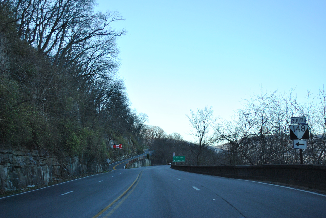
Ruby Falls lies midway up Lookout Mountain along SR 148 (Scenic Highway) south. Point Park lies at the apex of the mountain.
01/20/13
01/20/13
References:
Baughn, J. (n.d.). Bachman Tunnels. Bridgehunter.com. https://bridgehunter.com/tn/hamilton/33SR0080006/
Photo Credits:
- ABRoads: 01/20/13
Connect with:
Page Updated Friday August 21, 2020.