
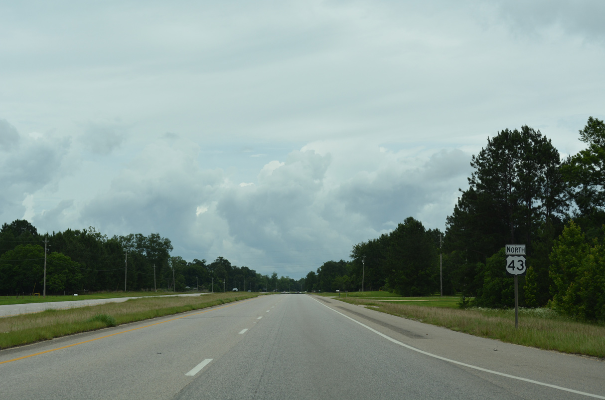
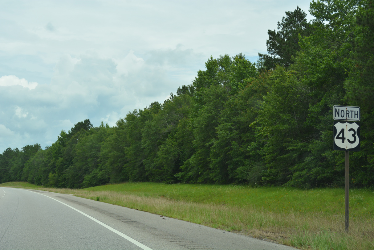
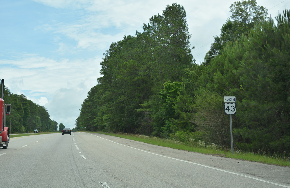
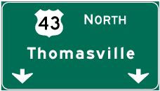
U.S. 43 North - McIntosh to Grove Hill
 North
North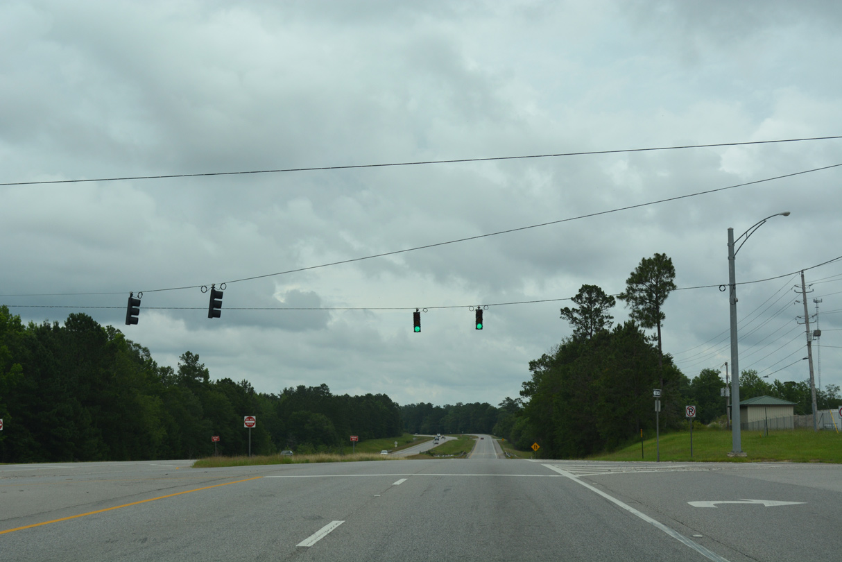
Paul Bayou Road spurs east from a signalized intersection with U.S. 43 to the north entrance for the AM/NS Calvert plan along the Tombigbee River.
06/05/17
06/05/17
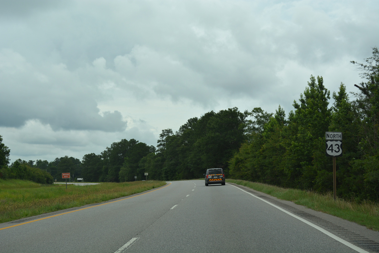
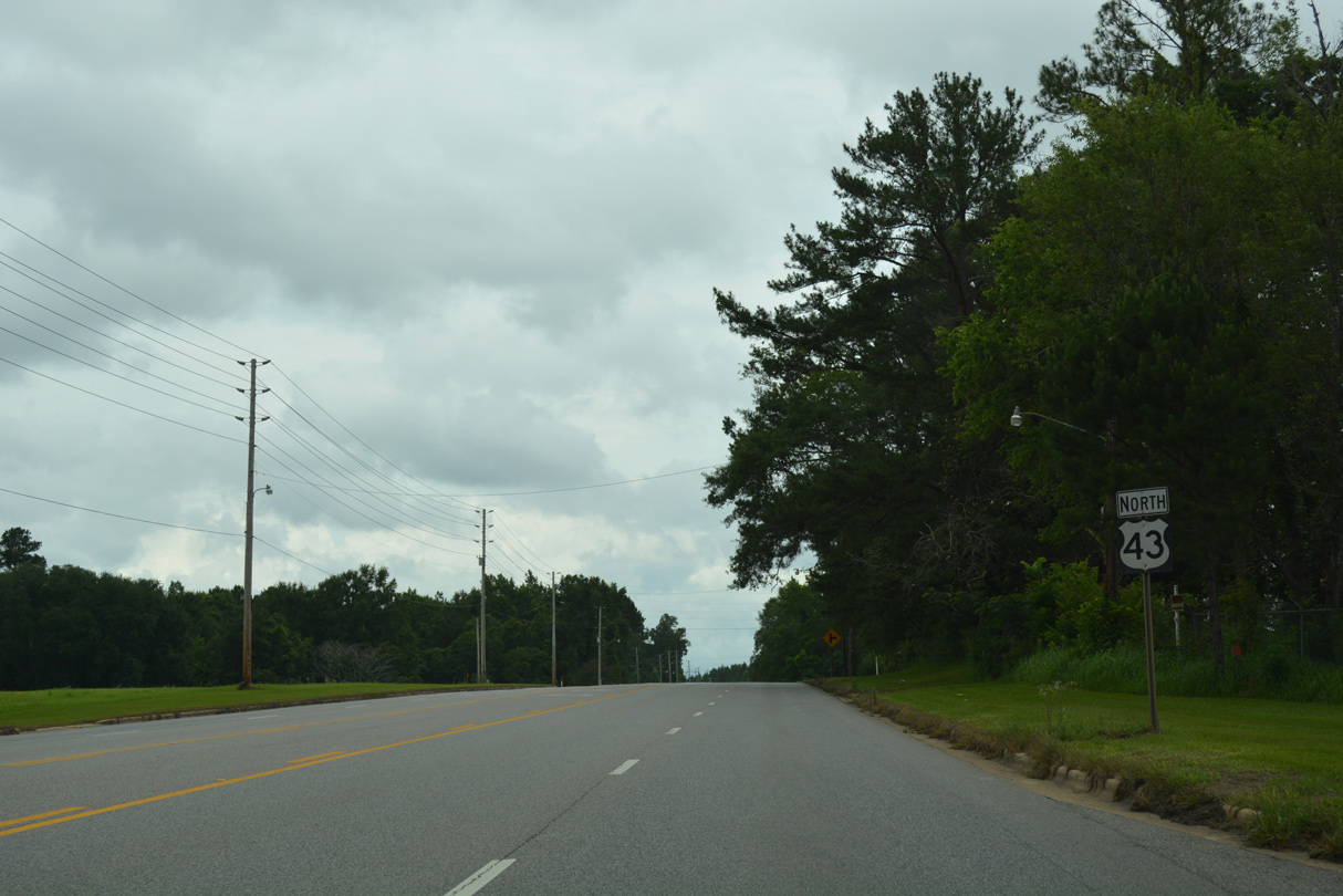
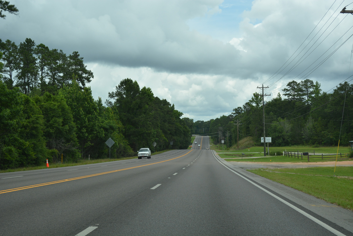
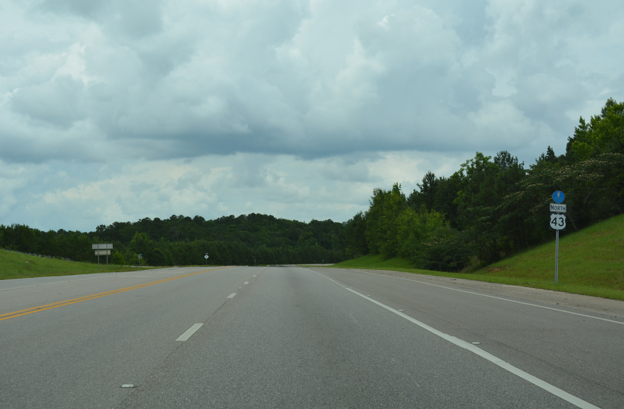
Bates Lake Road ties into U.S. 43 from the settlement of Malcolm ahead of this reassurance marker.
06/05/17
06/05/17
06/05/17
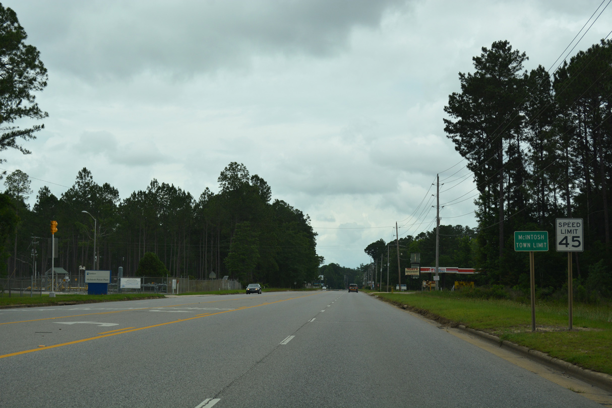
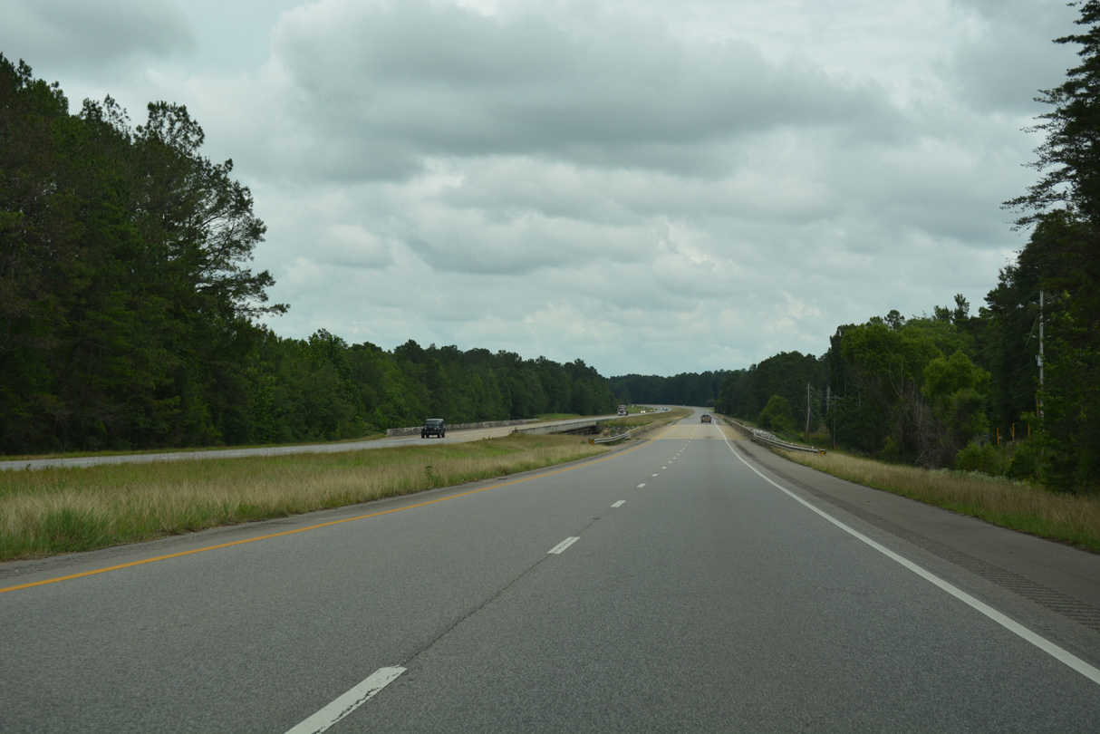
U.S. 43 transitions from a four lane, divided highway into a five lane boulevard through the town of McIntosh.
06/05/17
06/05/17

The western branch of CR 35 (John Johnson Road) connects McIntosh with Sims Chapel.
06/05/17
06/05/17

The eastern leg of CR 35 (River Road) leads to McIntosh Station and the McIntosh Bluff Boat Ramp along the Tombigbee River.
06/05/17
06/05/17
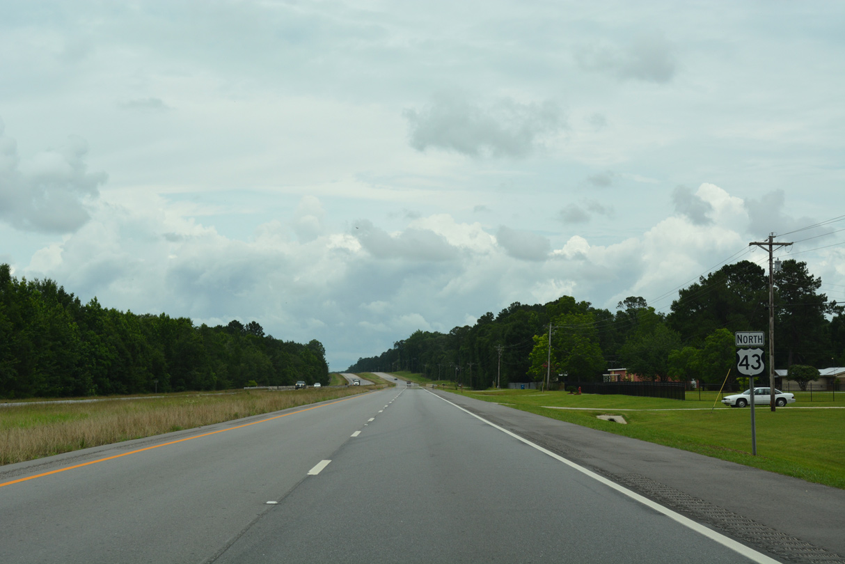
Commerce Street converges with U.S. 43 north from McIntosh Town Hall at Topton Road west ahead of this shield assembly.
06/05/17
06/05/17

06/05/17
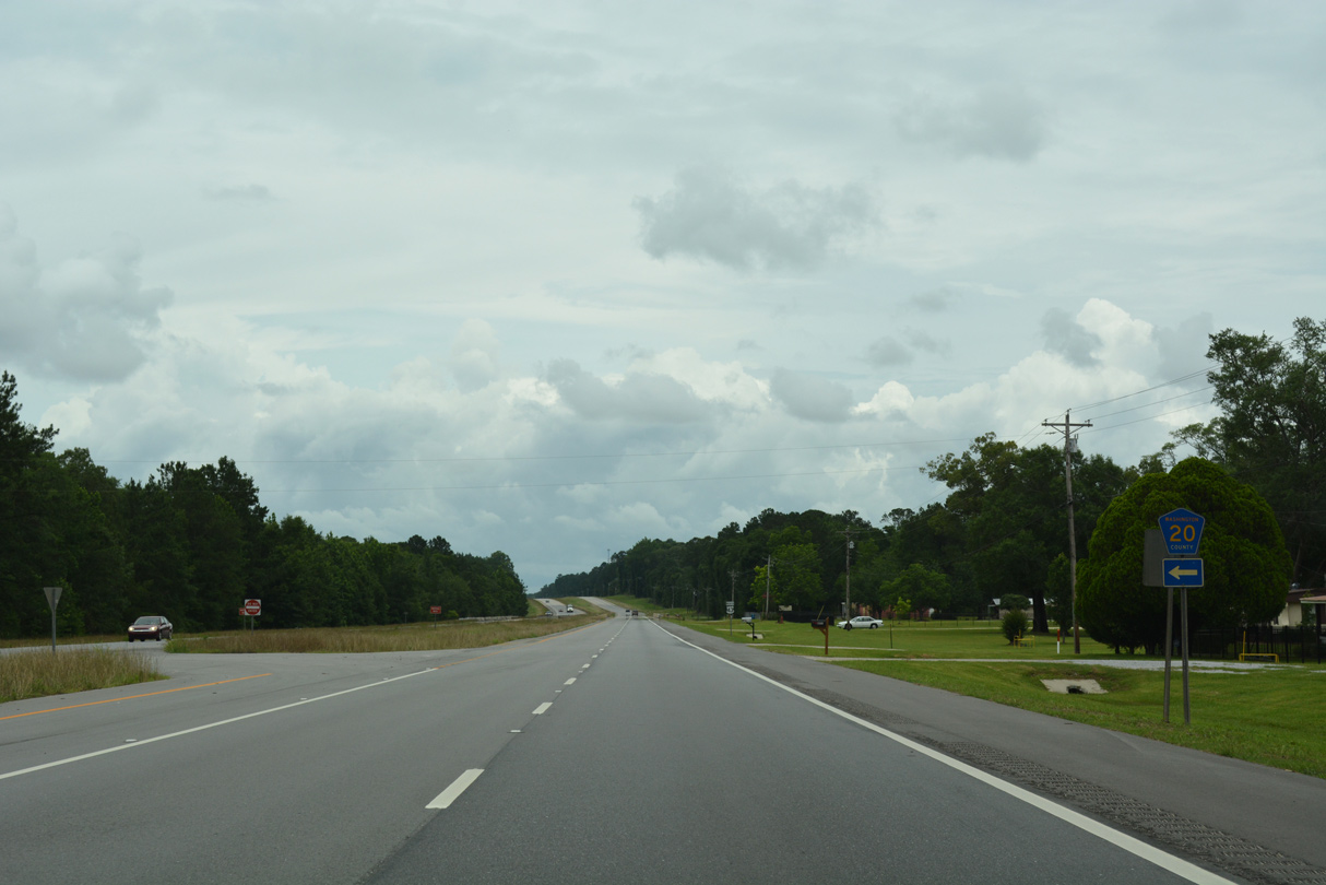
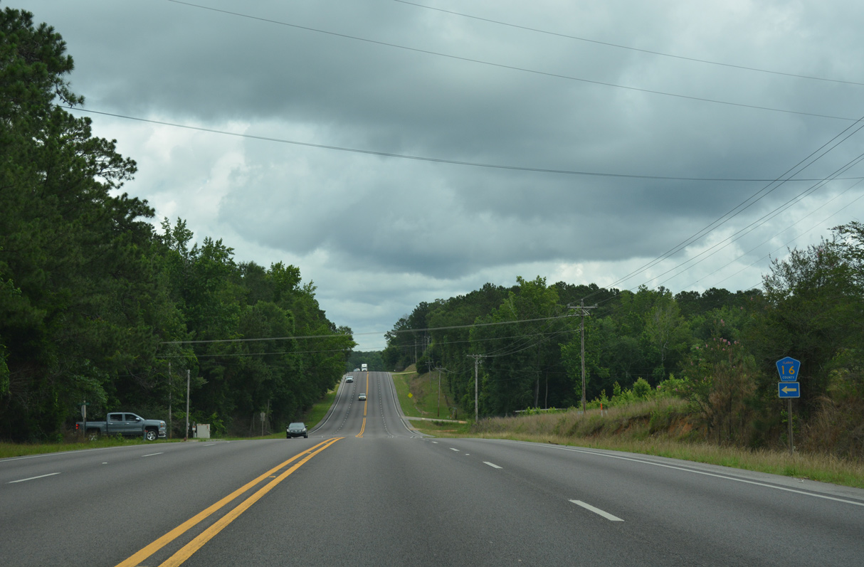
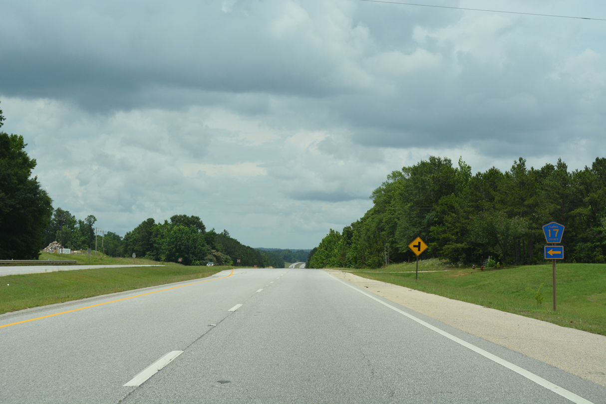
CR 20 (Hawthorne Road) travels 14.2 miles west from U.S. 43 at Deer Head to SR 17 at Tibbie.
06/05/17
06/05/17
06/05/17
06/05/17
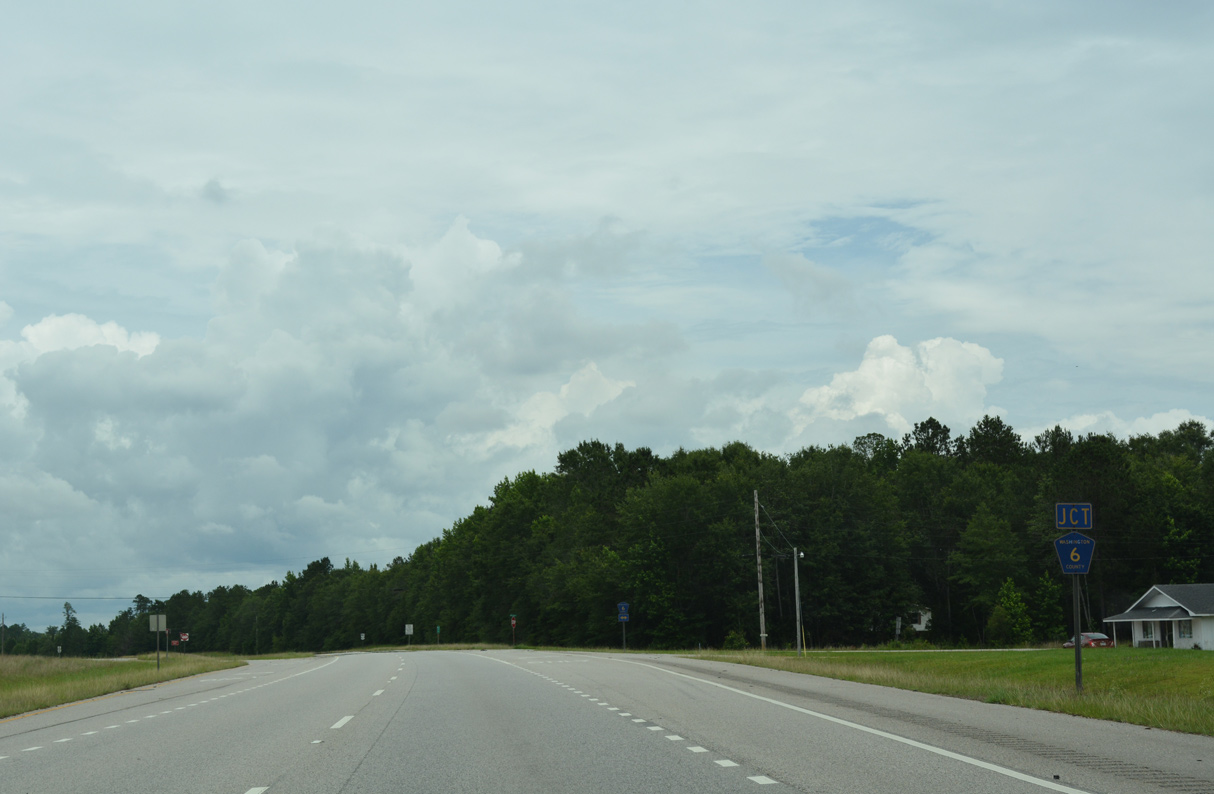
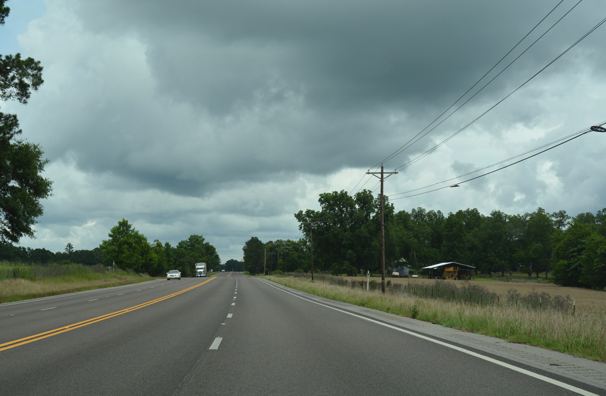
The southern branch of County Route 6 links U.S. 43 with the unincorporated community of Cortelyou.
06/05/17
06/05/17
06/05/17
06/05/17
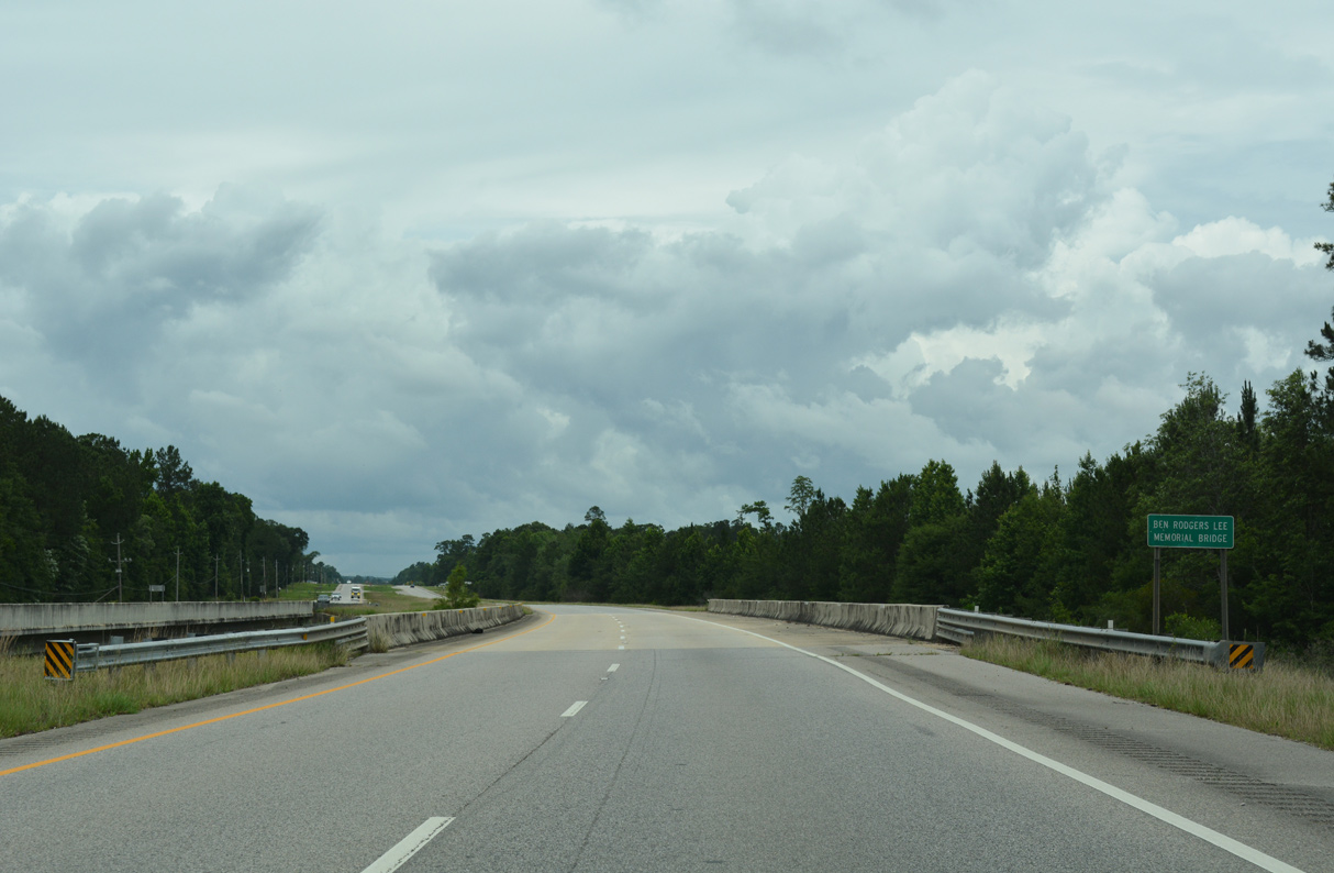
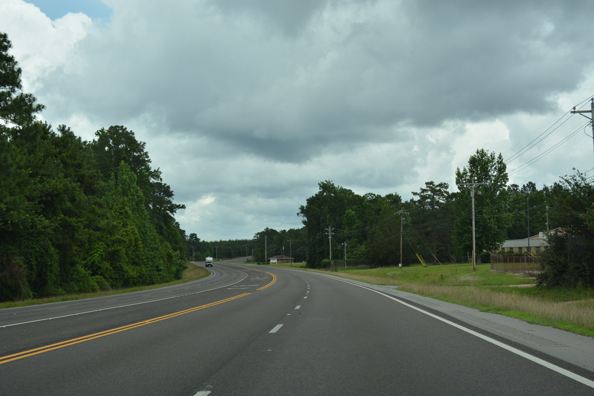
U.S. 43 crosses Armstrong Creek over the Ben Rodgers Lee Memorial Bridge.
06/05/17
06/05/17
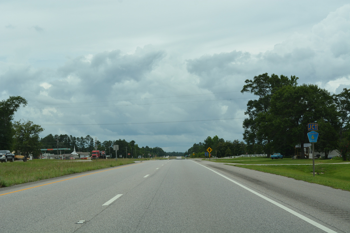
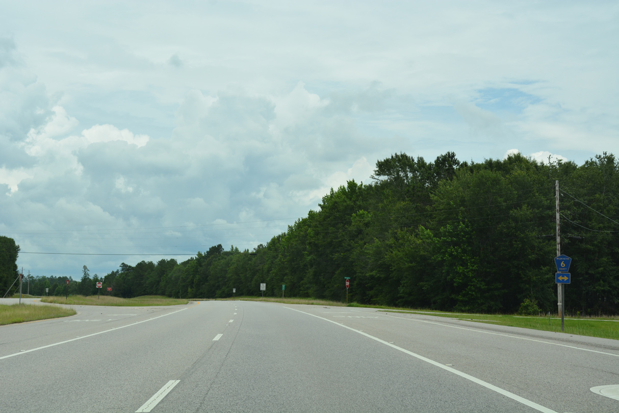
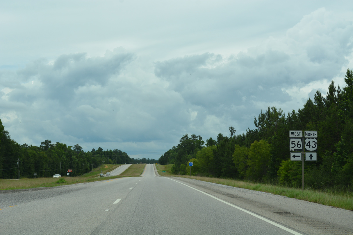
The northern leg of CR 6 angles across U.S. 43 to SR 56 in Wagarville.
06/05/17
06/05/17

06/05/17
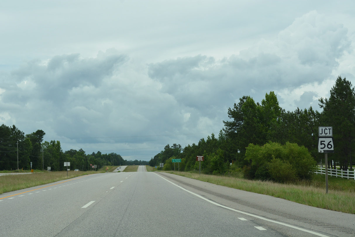
The east end of SR 56 ties into U.S. 43 at Wagerville.
06/05/17
06/05/17
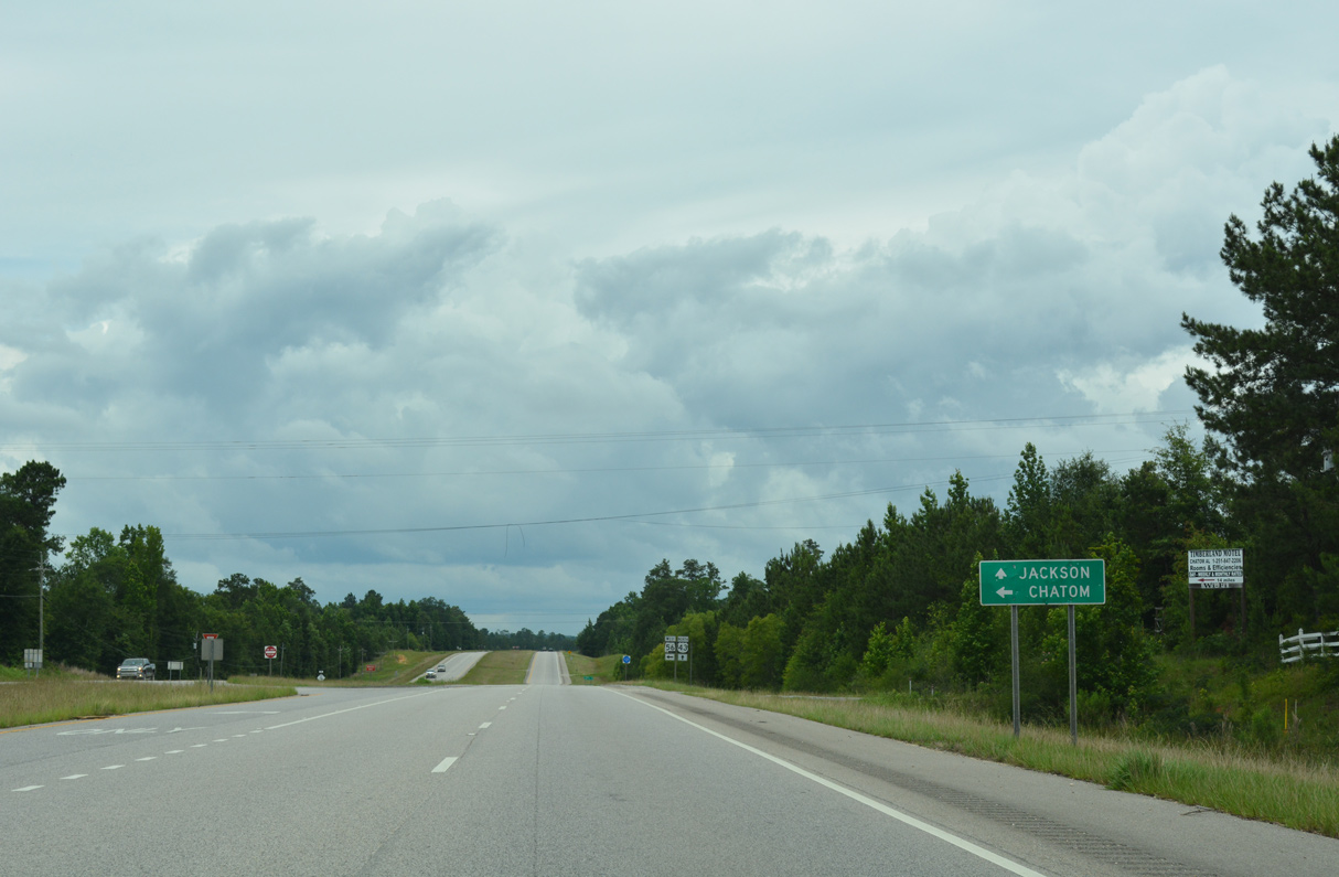
Measuring 27.70 miles in length, SR 56 connects with SR 17 at the Washington County seat of Chatom and MS 42 at State Line.
06/05/17
06/05/17
Historically SR 56 was formerly part of U.S. 84. U.S. 43/84 combined northeast from Wagarville to Grove Hill. When the bridge spanning the Tombigbee River was constructed at Coffeeville, U.S. 84 was realigned to the north.
06/05/17
06/05/17
06/05/17
06/05/17
06/05/17

Leading northwest to Bigbee and southeast to Carson, CR 34 crosses paths with U.S. 43 at Leroy. This shield for CR 34 was removed by 2011.
05/09/09
05/09/09
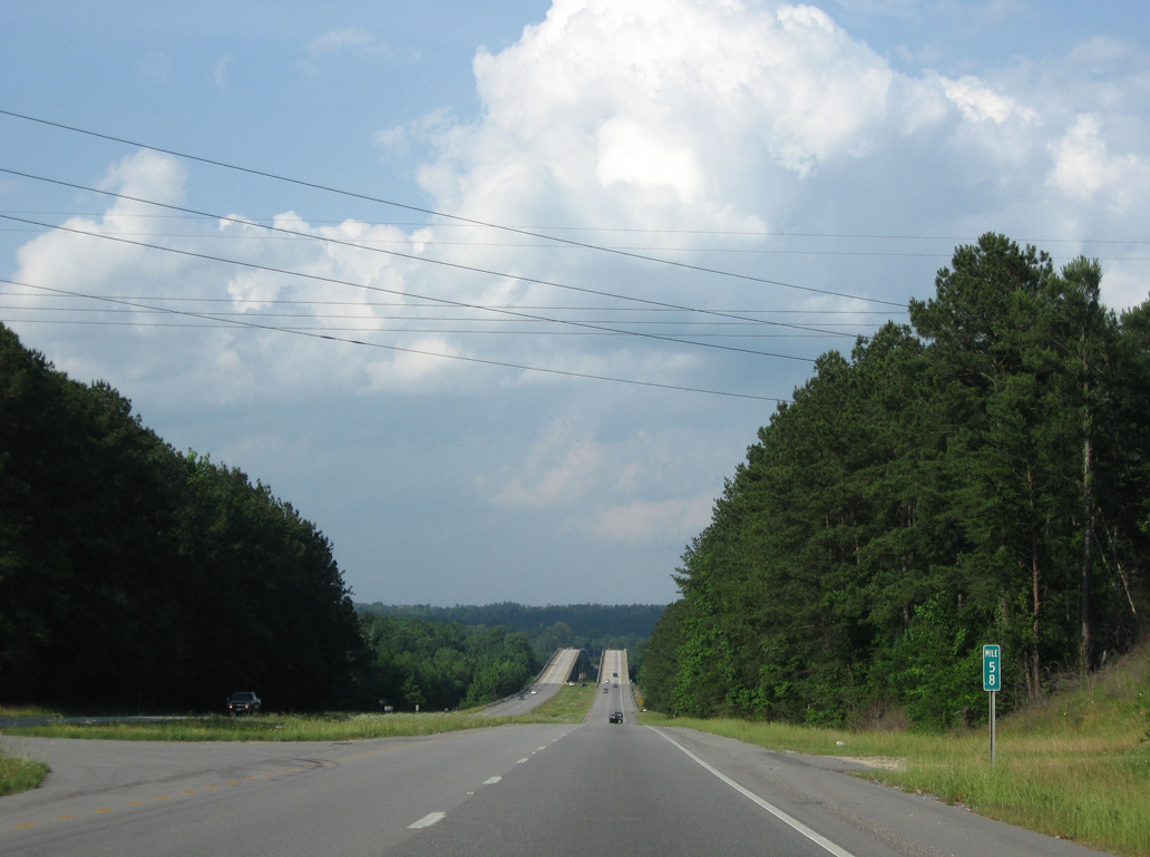
Heading northeast from Leroy, U.S. 43 lowers around 100 feet in elevation toward the Tombigbee River. Mile marker 58 for SR 13 was removed by 2022.
05/09/09
05/09/09
06/06/17
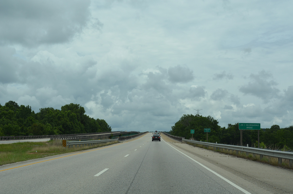
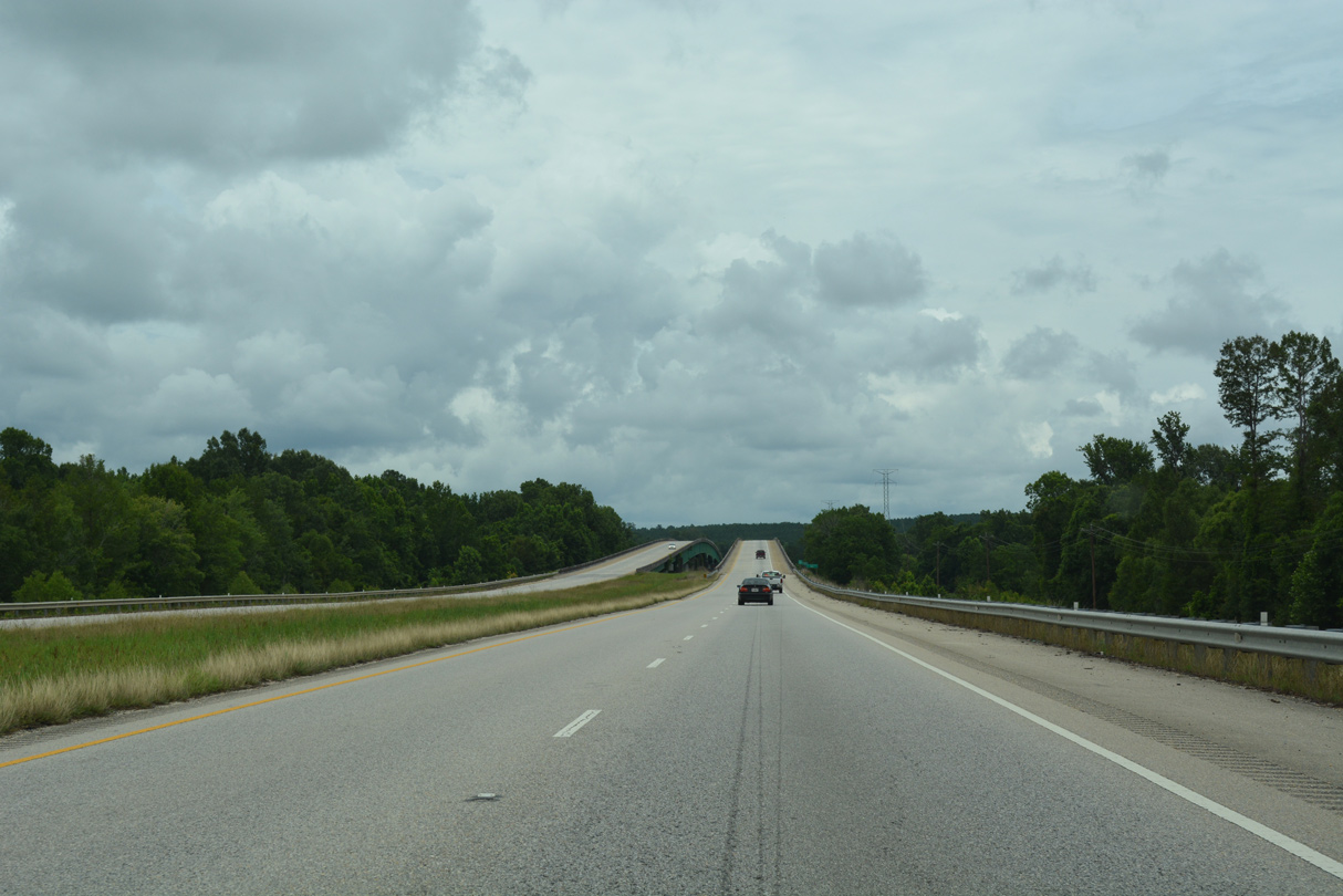
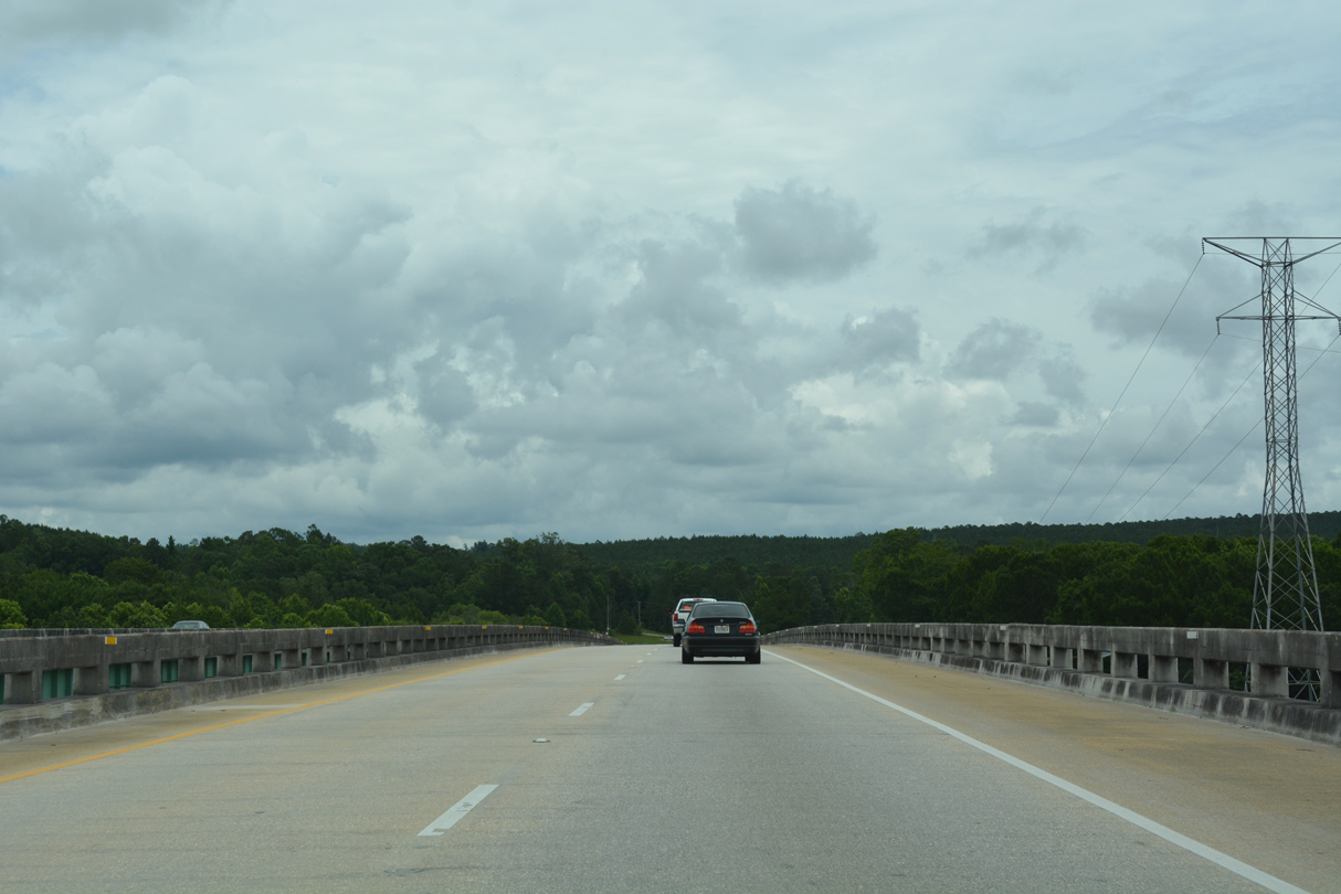
U.S. 43 rises onto the Joe C. McCorquodale Bridge across the Tombigbee River.
06/06/17
06/06/17
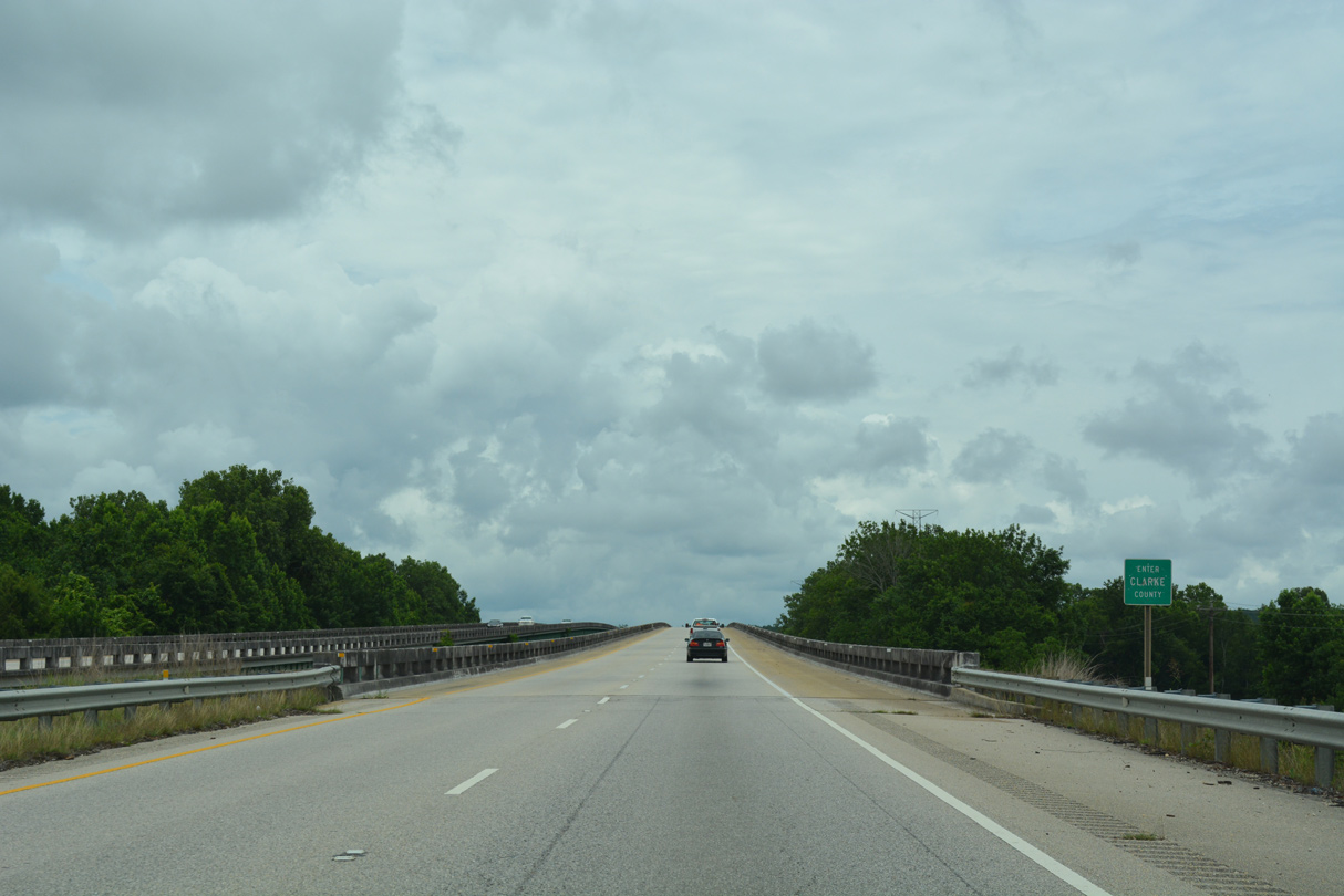
The Tombigbee River separates Washington and Clarke Counties.
06/06/17
06/06/17
Built in 1973, the 3,189 foot long bridges across the Tombigbee River crest at a height of 49.2 feet.1
06/06/17
06/06/17
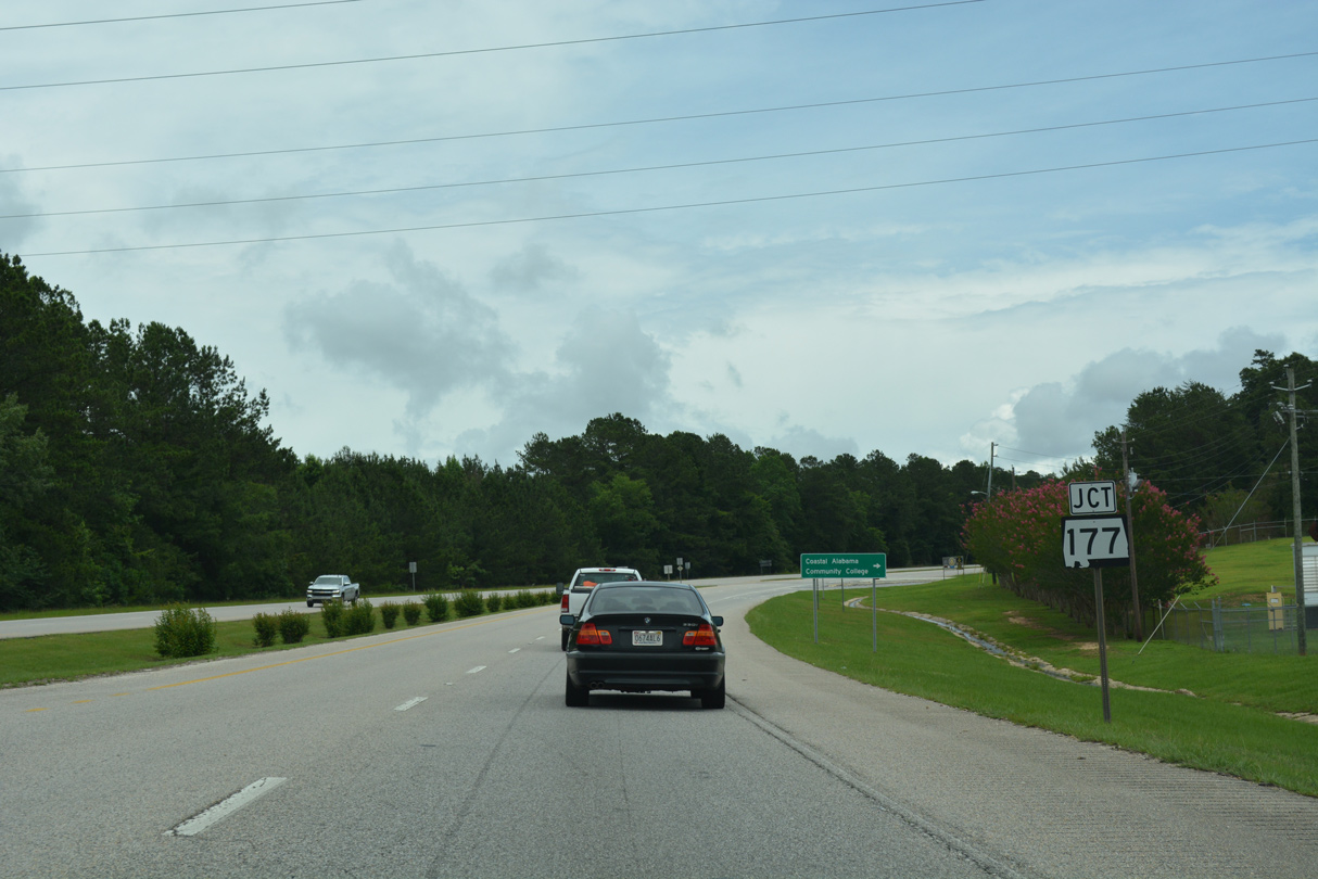
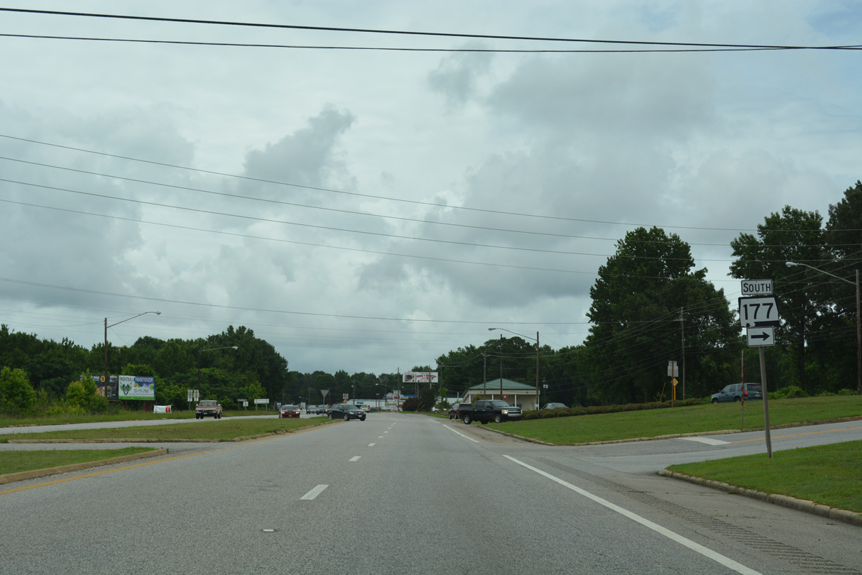
Just east of the Tombigbee River, U.S. 43 meets SR 177 (Commerce Street) northbound into the city of Jackson.
06/06/17
06/06/17
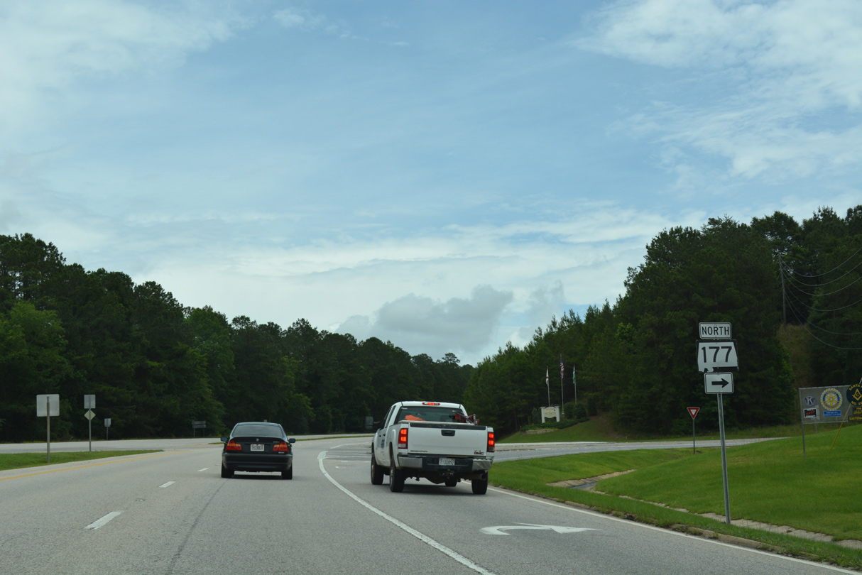
Comprising a 5.16 mile long loop south from U.S. 43 to Downtown Jackson, SR 177 is the original alignment of U.S. 43.
06/06/17
06/06/17
06/06/17
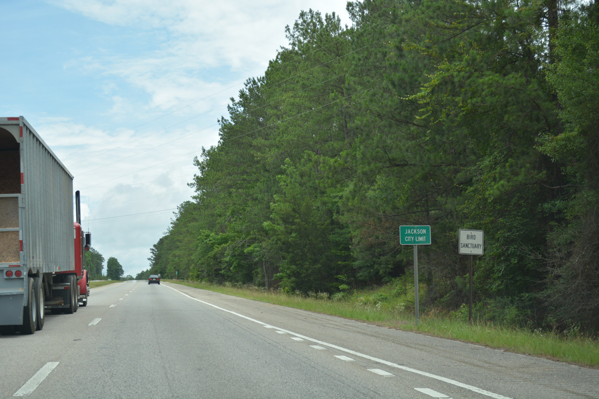
Although passing through the city limits, U.S. 43 generally bypasses Jackson to the north.
06/06/17
06/06/17
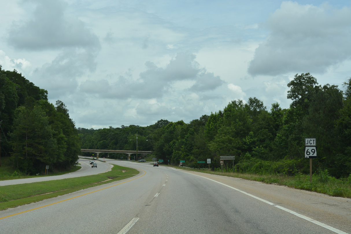
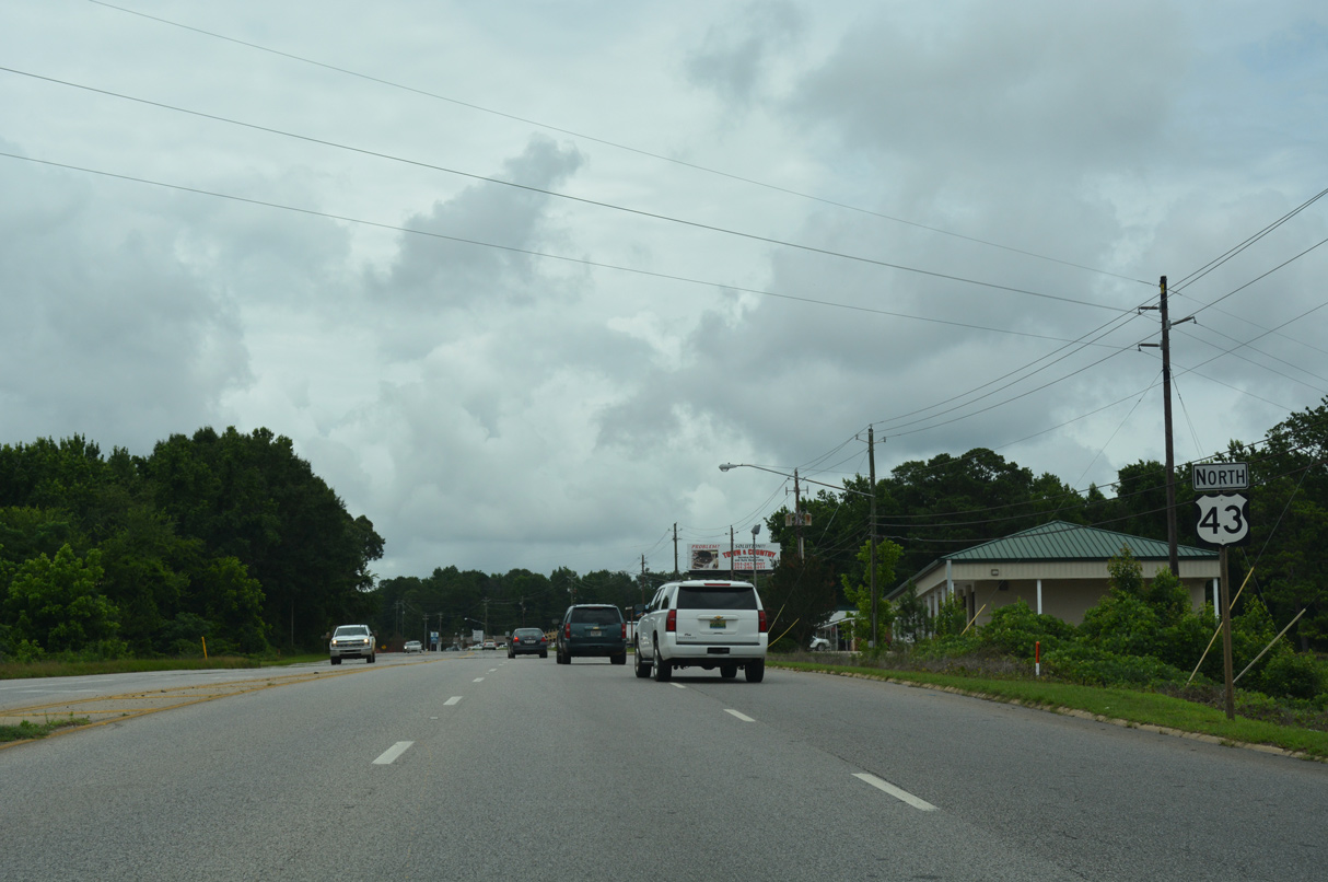
SR 69 (Coffeeville Road) converges with U.S. 43 at a grade separated intersection 0.63 miles northwest from SR 177 (College Avenue) in Jackson.
06/06/17
06/06/17
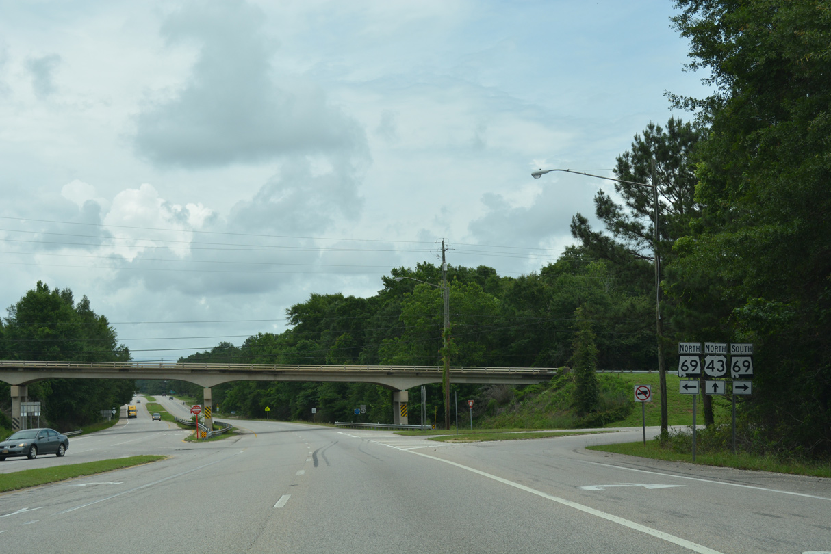
Originating in Jackson SR 69 meanders northwest to Mays Crossroads, Salitpa and U.S. 43 in Coffeeville. SR 69 returns to U.S. 43 at the Marengo County seat of Linden.
06/06/17
06/06/17

The confirming marker posted north of SR 69 stands below the Coffeeville Road overpass. The span for SR 69 dates back to 1959.
06/06/17
06/06/17
05/09/09
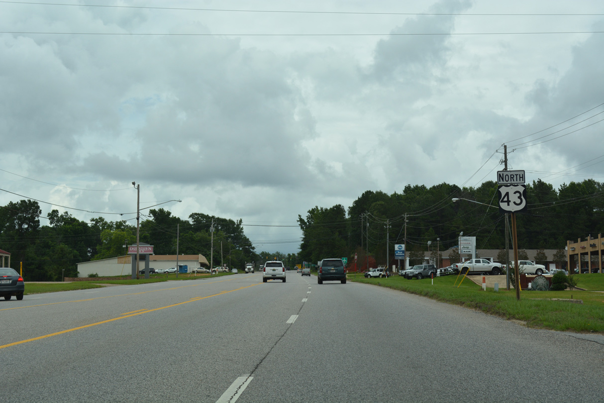
U.S. 43 converges with the north end of SR 177 (College Avenue) beyond Jackson Square shopping center.
06/06/17
06/06/17
06/06/17
06/06/17

06/06/17
06/06/17
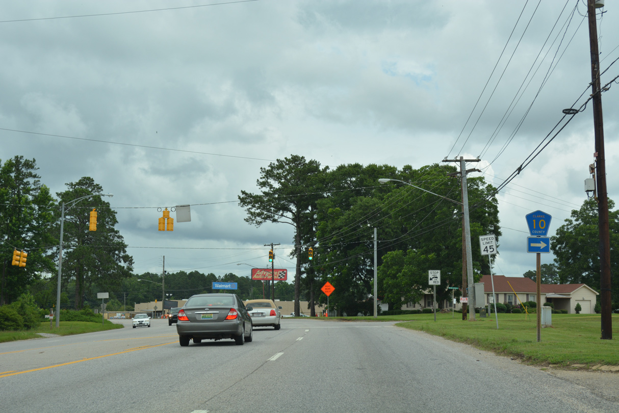
CR 10 (Walker Springs Road) stems 5.5 miles east from U.S. 43 to CR 19 north of Walker Springs.
06/06/17
06/06/17
06/06/17
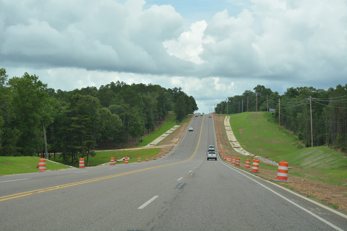
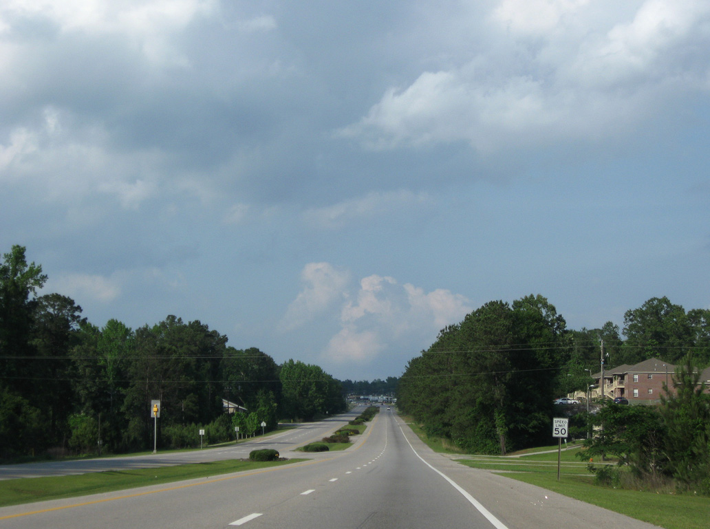
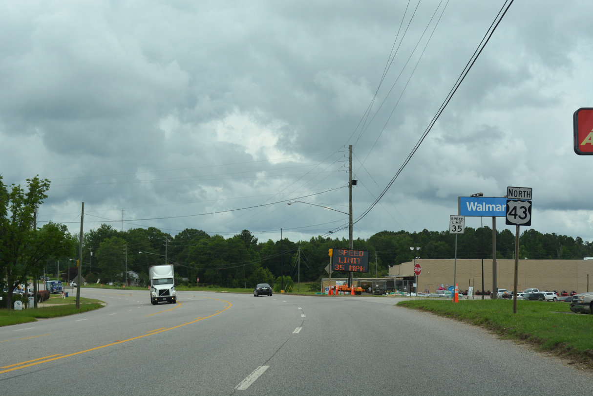
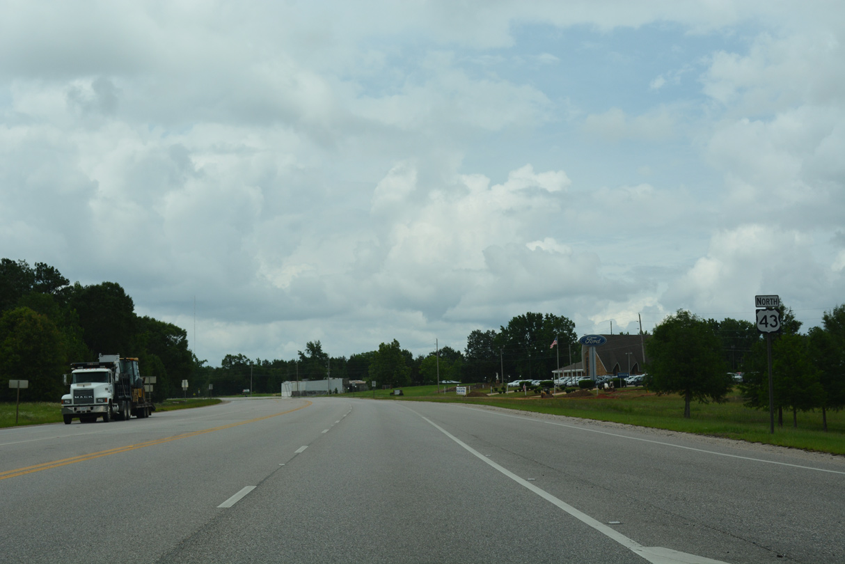
Construction underway by Lakeview Drive in 2017 expanded U.S. 43 to a five lane boulevard.
06/06/17
06/06/17
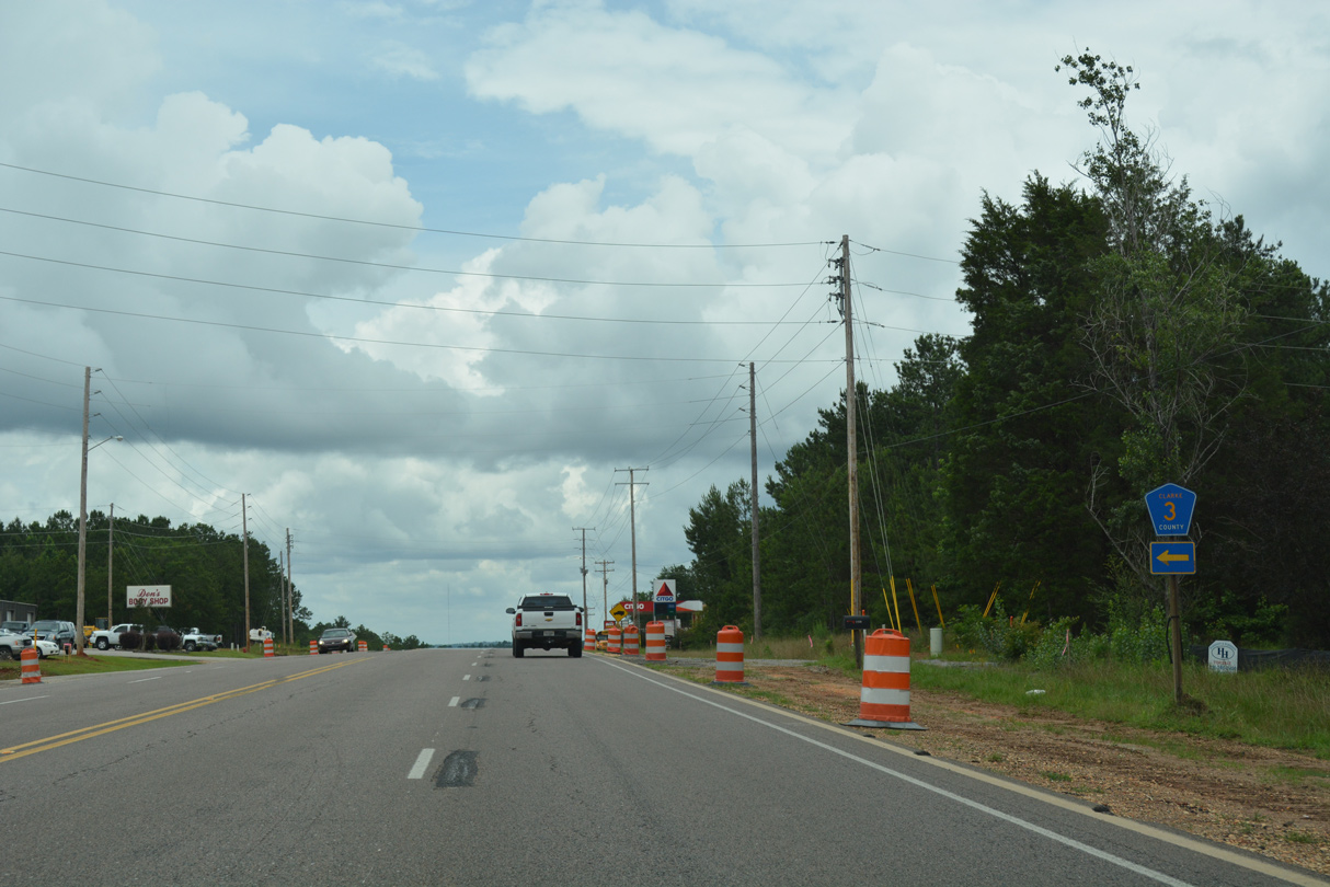
Clarke County Route 3 meanders northwest from U.S. 43 to Winn and U.S. 84 east of Coffeeville.
06/06/17
06/06/17
06/06/17
CR 16 (Toddtown Road) links U.S. 43 with Winn Road (CR 3/23) at Toddtown in 1.6 miles.
06/06/17
06/06/17
06/06/17
06/06/17

County Route 29 spurs south from U.S. 43 to Suggsville.
06/06/17
06/06/17
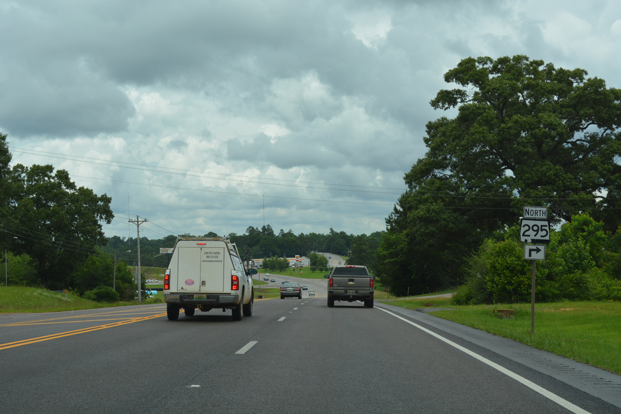
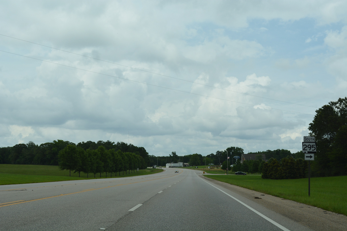
SR 295 (Jackson Street) through Grove Hill represents the former alignment of U.S. 43.
06/06/17
06/06/17
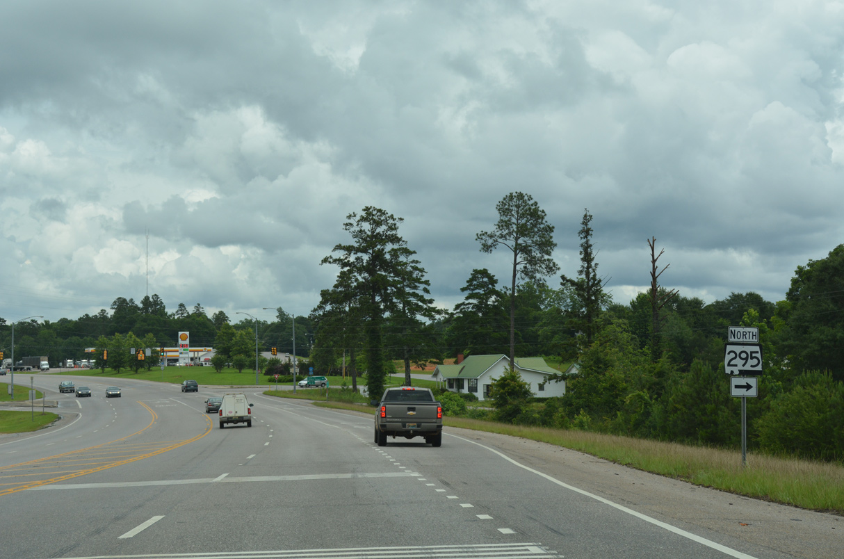
Acting as a business route for U.S. 43, SR 295 loops 3.19 miles east to Downtown Grove Hill.
06/06/17
06/06/17
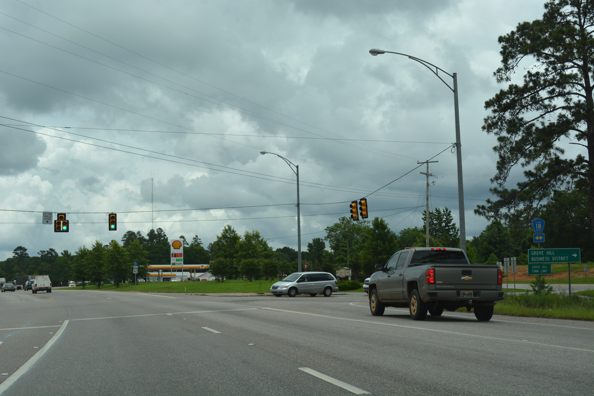
CR 18 ties into the south end of SR 295 from U.S. 84, 1.5 miles to the east, and CR 23 (Zimco Road) 6.1 miles to the west.
06/06/17
06/06/17
The controlled access bypass for U.S. 43 around Grove Hill was completed in 2000.
06/06/17
06/06/17
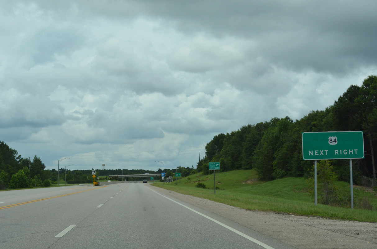
U.S. 84 (Grove Hill Avenue) meets U.S. 43 at a diamond interchange.
06/06/17
06/06/17
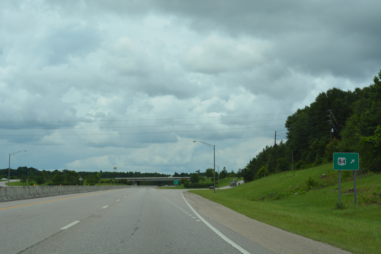
U.S. 84 runs west to Coffeeville and Waynesboro, Mississippi and southeast past Monroeville to Evergreen.
06/06/17
06/06/17
06/06/17
Cobb Street intersects U.S. 43 west of the Clarke County Court House and Downtown Grove Hill.
06/06/17
06/06/17
06/06/17
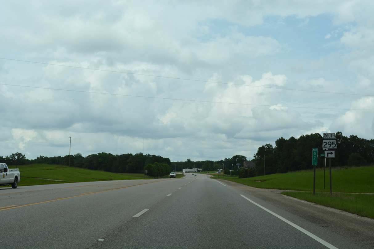
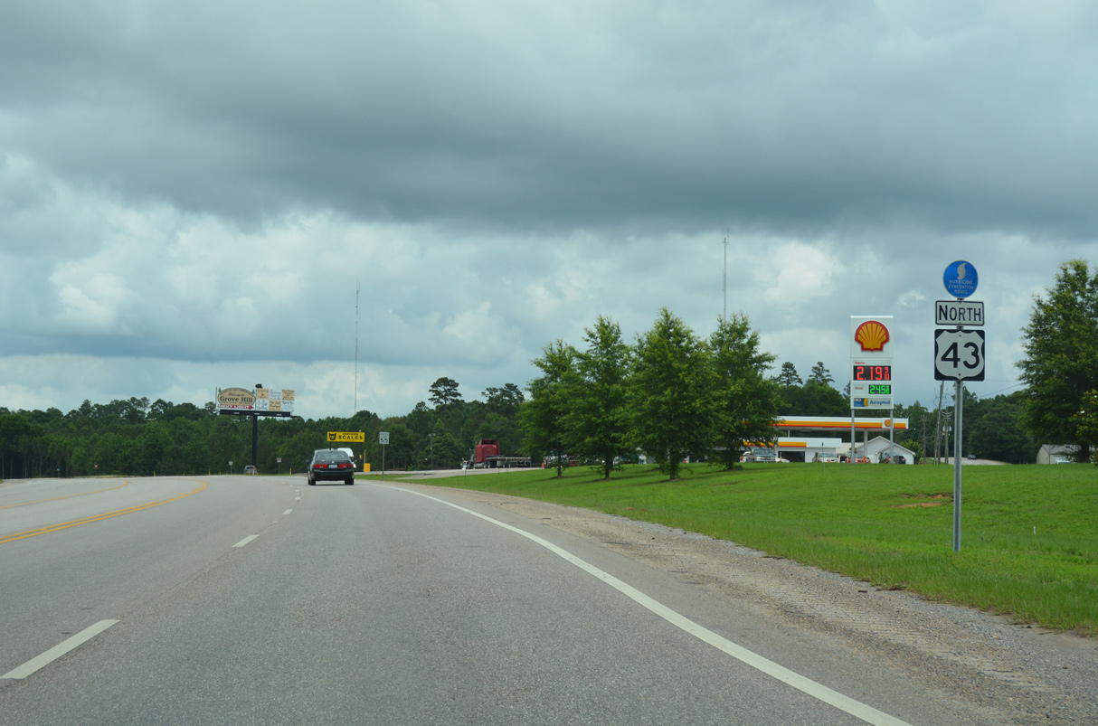
SR 295 (Jackson Street) returns to U.S. 43 at the northern city limits of Grove Hill.
06/06/17
06/06/17
06/06/17
06/06/17
CR 17 (Chilton Road) connects U.S. 43 with SR 154 east of Chilton along a 6.3 mile long course through Peacock.
06/06/17
06/06/17
06/06/17
References:
- US 43 over TOMBIGBEE RIVER. http://bridgereports.com/1009392 BridgeReports.com.
Photo Credits:
- Alex Nitzman: 06/05/17, 06/06/17
- ABRoads: 05/09/09
Connect with:
Page Updated Tuesday August 09, 2022.