
U.S. 43 North - Mobile to Mount Vernon
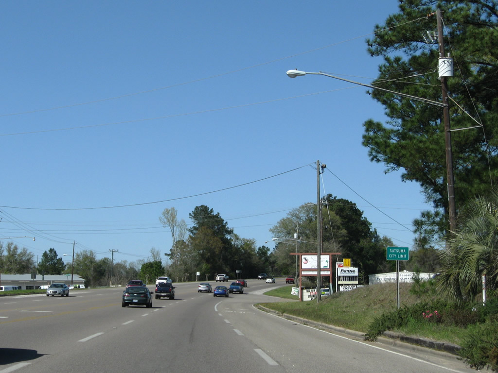
Bayou Avenue crosses U.S. 43 from Orchard Street east to Magnolia Avenue near Steele Creek.
03/20/09
 North
North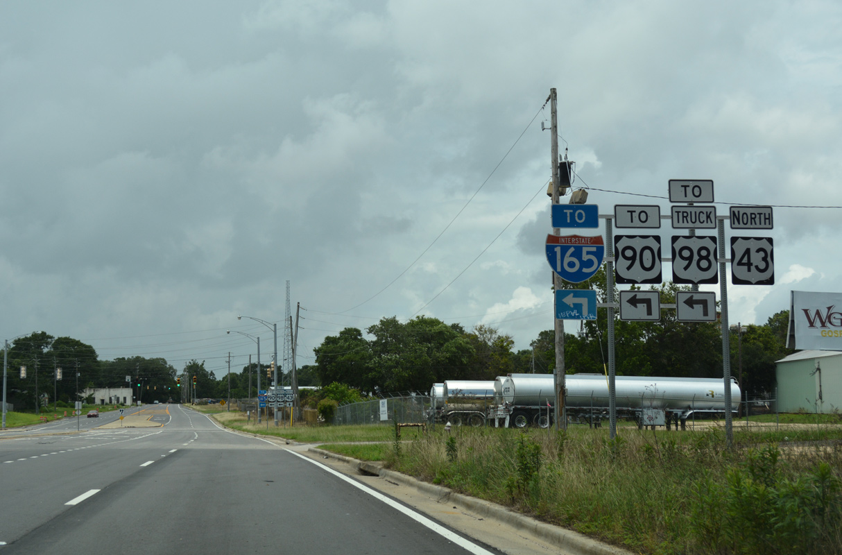
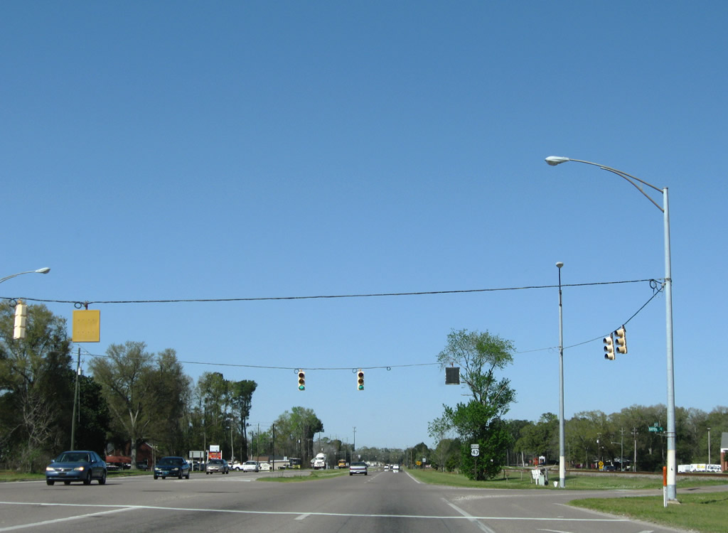
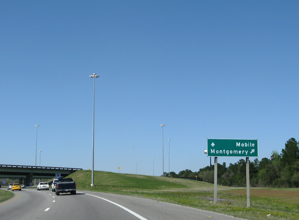
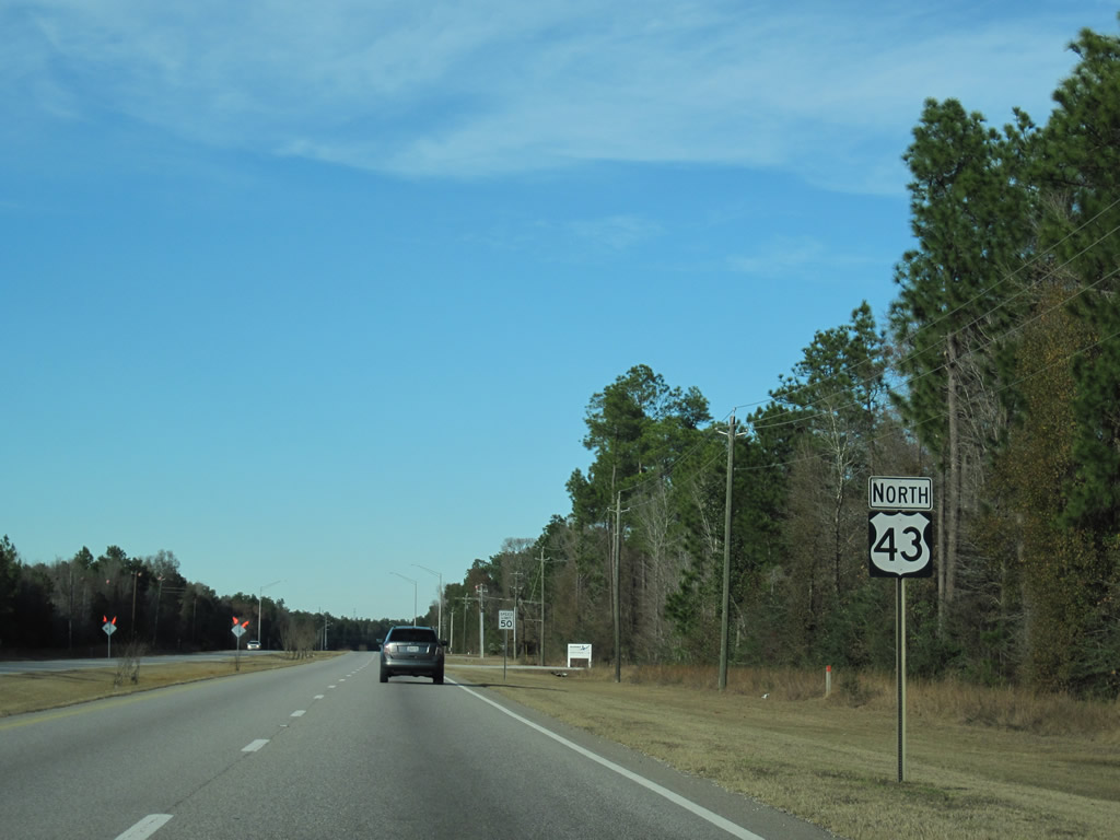
U.S. 43 begins north at the Africatown Boulevard (formerly Bay Bridge Road) overpass on Telegraph Road where state maintenance commences. A multi lane connector joins U.S. 43 with U.S. 90/98 Truck (Africatown Boulevard) nearby.
06/05/17
When U.S. 43 was truncated in 2001, the first northbound shield was located beyond the connector with U.S. 90 (Bay Bridge Road). The junction shield here was changed to show the first confirming marker by 2006.
10/25/03
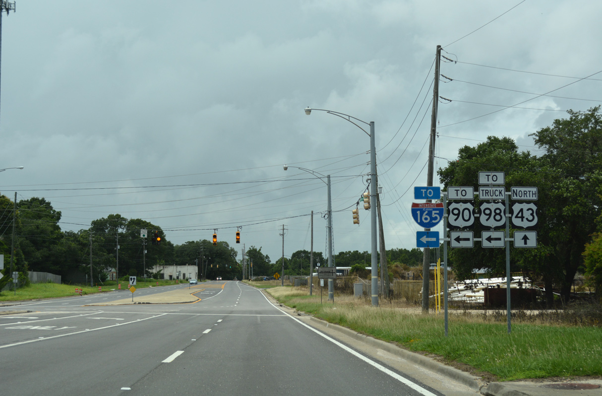
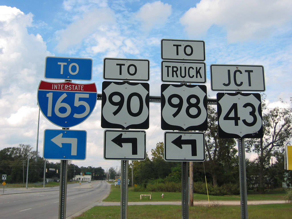
U.S. 90/98 Truck (Africatown Boulevard) loop east from I-165 to the Africatown Bridge spanning the Mobile River onto Blakeley Island. The four lane highway turns south to connect with I-10 at Exit 27.
06/05/17
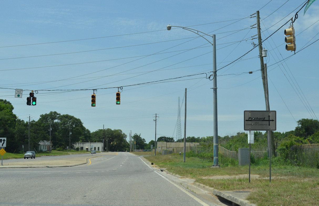
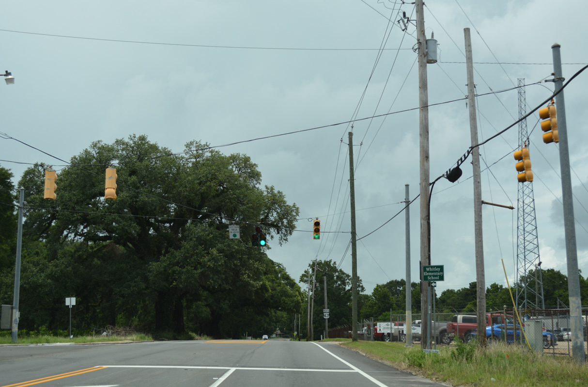
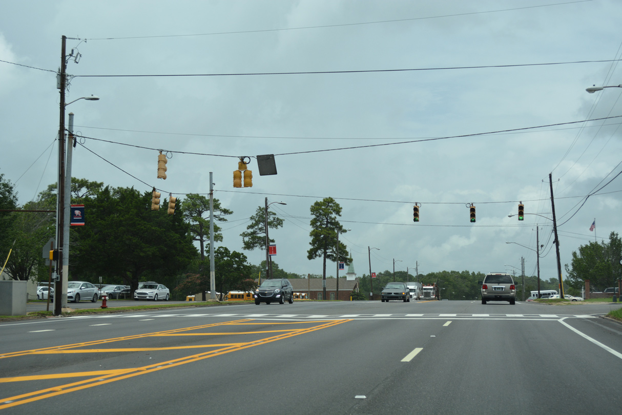
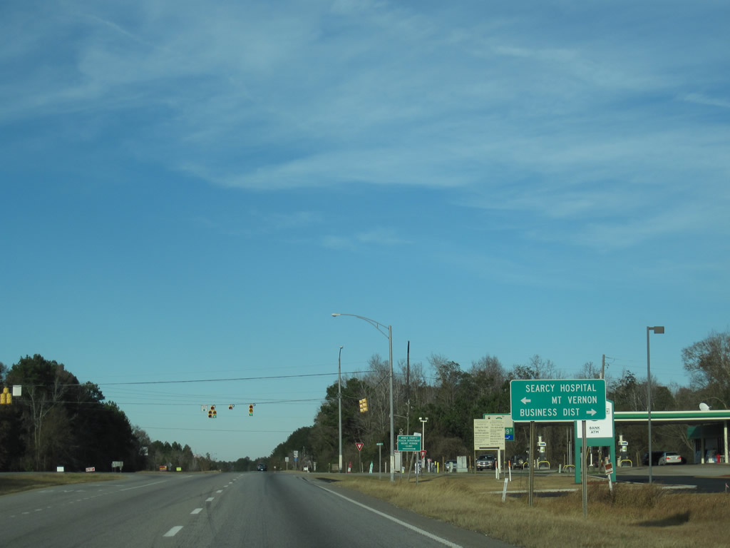
U.S. 43 (Telegraph Road) heads north from the traffic light for U.S. 90 (Africatown Boulevard) into the city of Prichard ahead of the Summerville community.
05/15/16
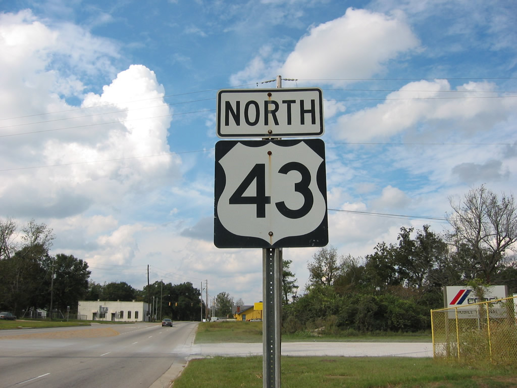
The previous first shield for U.S. 43 stood along Telegraph Road at Criterion Street.
10/25/03
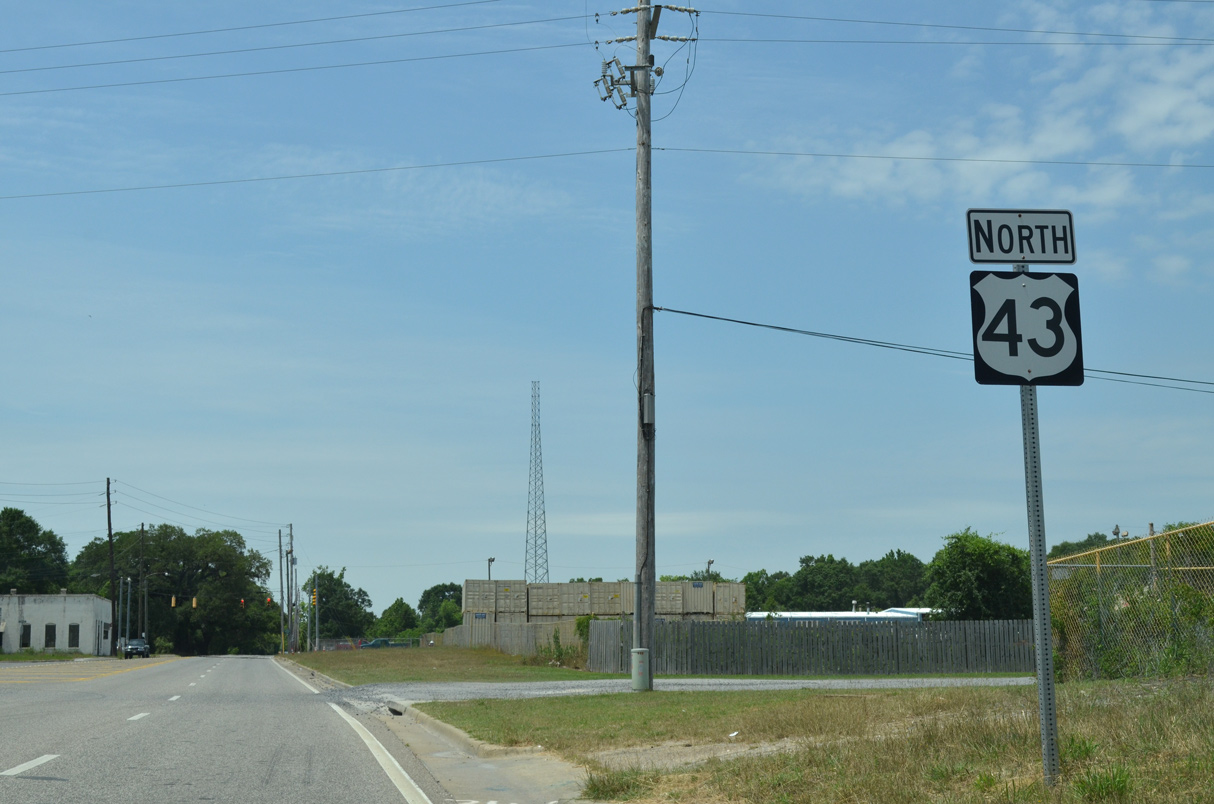
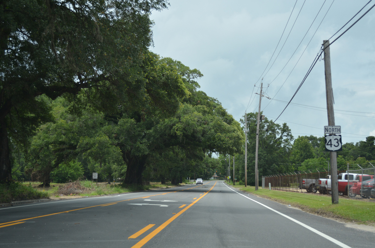
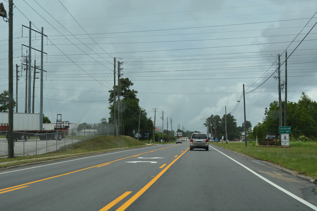
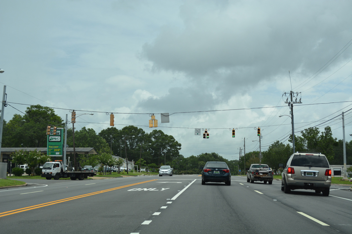
The reassurance marker at Criterion Street was replaced with a lane drop sign as part of the road diet along Telegraph Road completed by 2017. Generally carrying local or industrial traffic, U.S. 43 advances to Chickasaw, Saraland and Satsuma.
05/15/16
Meaher Avenue stems 0.7 miles west from U.S. 43 (Telegraph Road) to Dr. Martin Luther King, Jr. Drive (old U.S. 43). The residential street represents the former SR 194 leading west to Wilson Avenue (former SR 193).
06/05/17
U.S. 43 runs north from Meaher Avenue between southeast Prichard and the Plateau community in Mobile. This stretch was restriped from four lanes into a three lane boulevard with bike lanes by 2017.
06/05/17
Edwards Street enters Prichard from the east and becomes Birmingham Street west to Dr. Martin Luther King, Jr. Drive.
06/05/17
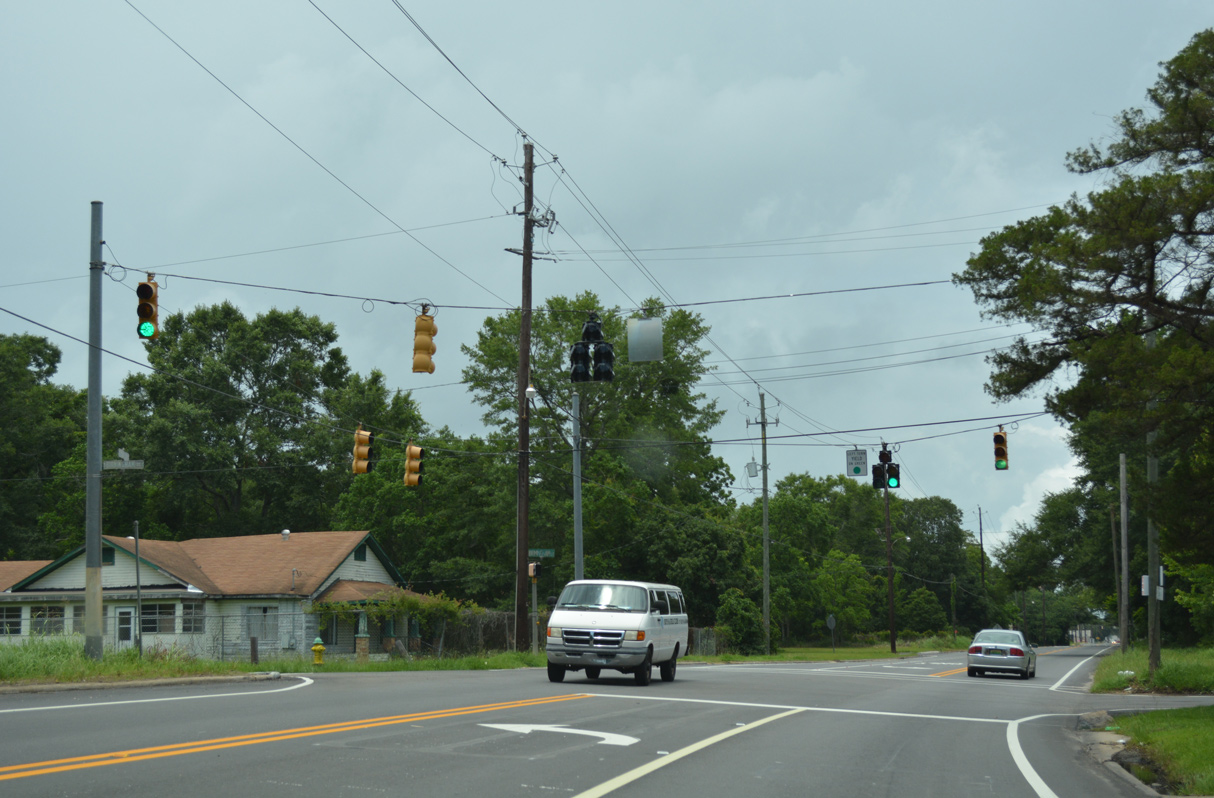
Diaz Street east and Woodland Avenue west meet U.S. 43 (Telegraph Road) at the next traffic light. Woodland Avenue transitions into Paper Mill Road southeast to industrial areas at Magazine along the Mobile River. Diaz Street comprises a residential road west to Turner Road and Wilson Avenue.
06/05/17
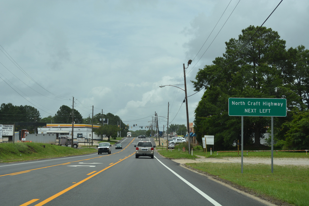
The road diet along U.S. 43 in Prichard extended north to Craft Highway in the city of Chickasaw.
06/05/17
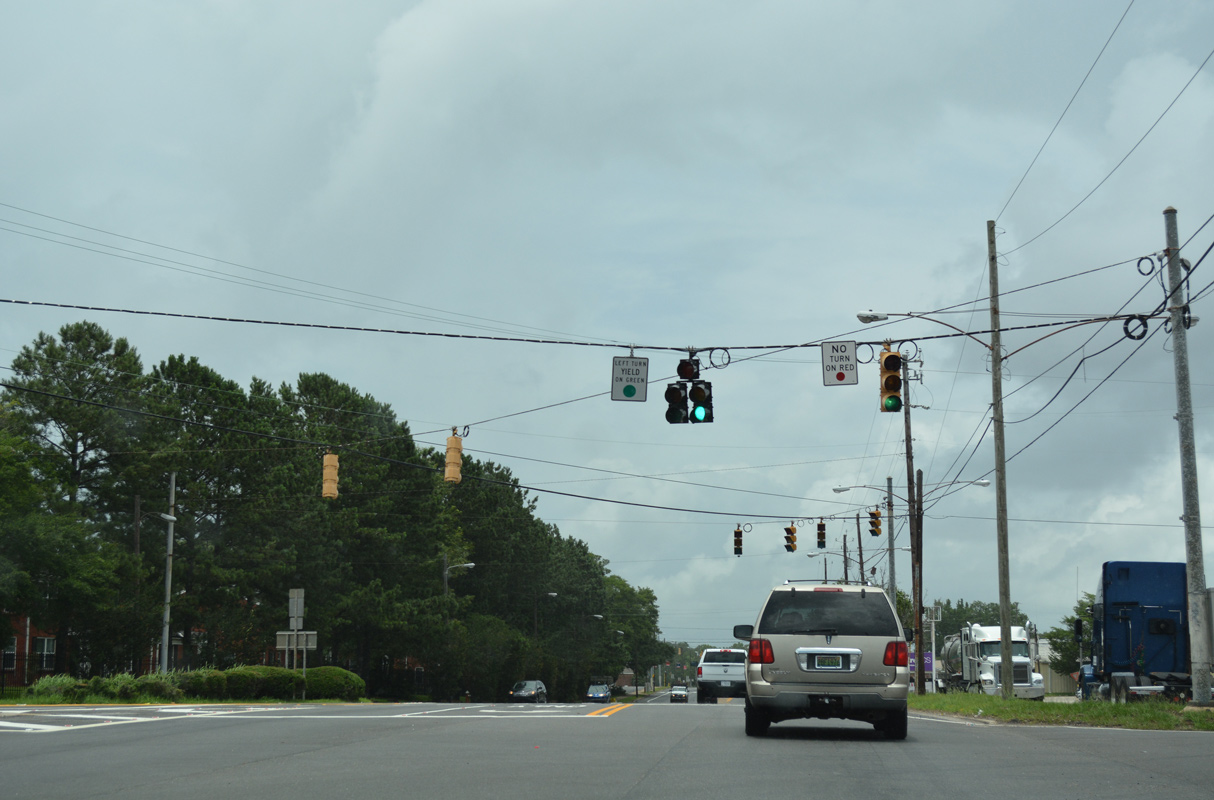
Craft Highway converges with U.S. 43 (Telegraph Road) at a wye intersection adjacent to Howell Street.
06/05/17
Craft Highway was the original alignment of U.S. 43 leading north from U.S. 45 (St. Stephens Road) in Mobile. Craft Highway overtakes Telegraph Road north on the ensuing stretch.
06/05/17
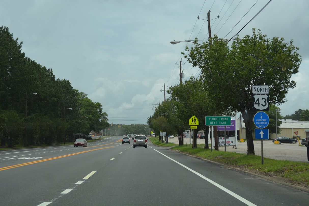
Forthcoming Viaduct Road is a spur east to the Mobile/Chickasaw Port Facility.
06/05/17
Viaduct Road spans the adjacent Norfolk Southern Railroad line east ahead of a small residential street grid before entering the port area.
06/05/17
Sutherland Drive west to Kansas Street south connects U.S. 43 (Craft Highway) with W Lee Street to I-65 at Exit 10 in Chickasaw.
06/05/17
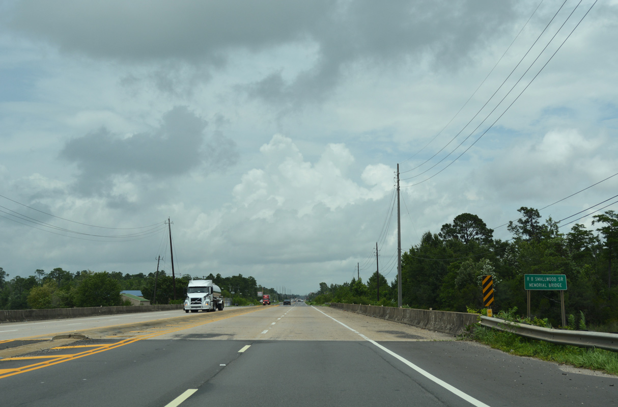
U.S. 43 (Craft Highway) crosses the R.B. Smallwood, Jr. Memorial Bridge over Chickasaw Creek.
06/05/17
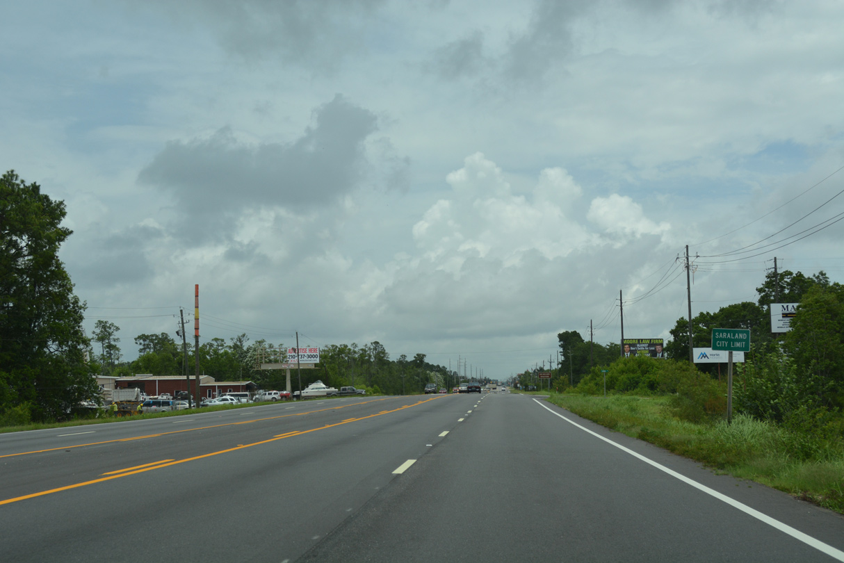
U.S. 43 (Craft Highway) runs along the Saraland city line north from Chickasaw creek before fully entering the municipality at Sawmill Road.
06/05/17
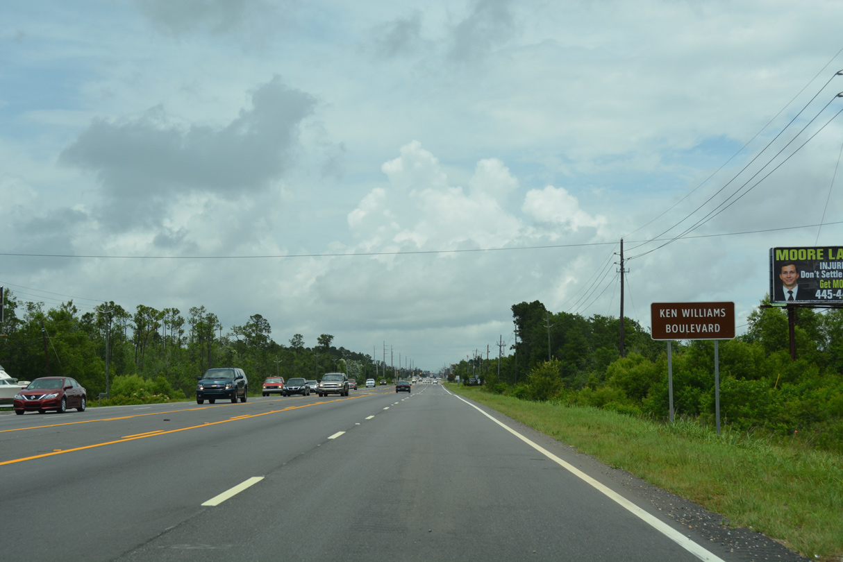
U.S. 43 through Saraland is Ken Williams Boulevard.
06/05/17
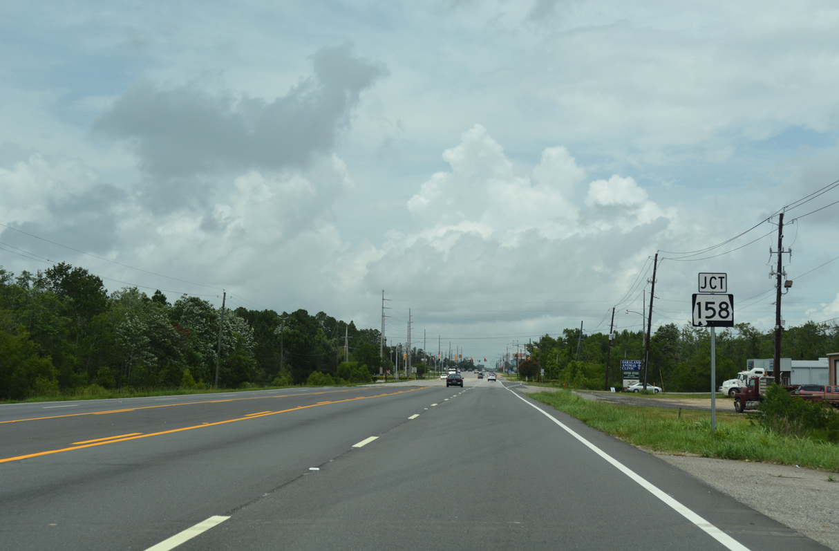
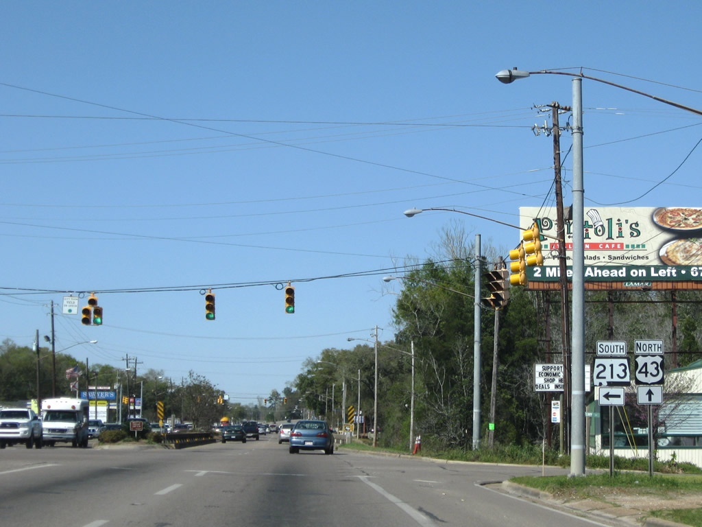
SR 158 (Industrial Parkway) leads 2.00 miles west from U.S. 43 (Saraland Boulevard) to I-65, where it briefly overlaps with SR 213. West from there, SR 158 continues to U.S. 45 near Kushla and along an extension opened in January 2008 to Newburn Road near Semmes.
06/05/17
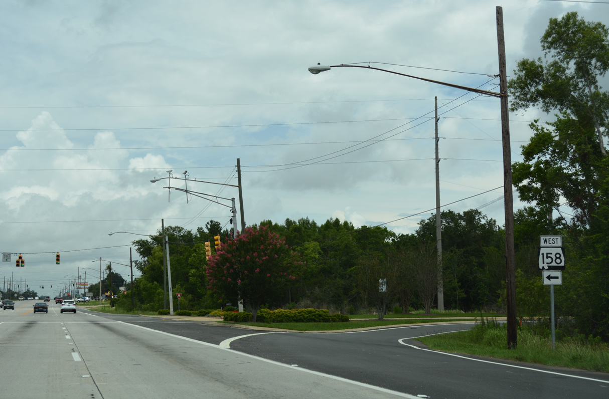
SR 158 expands from two lanes to eight lanes west ahead of SR 213 (Shelton Beach Road). Beyond I-65, SR 158 is Ken Malone Parkway and the future alignment of U.S. 98 west past Semmes and Wilmer.
06/05/17
Cleveland Road angles northwest from U.S. 43 (Saraland Boulevard) to SR 213 (Shelton Beach Road) through central Saraland.
03/20/09
Norton Avenue provides a cutoff to SR 213 (Shelton Beach Road) south from U.S. 43 (Saraland Boulevard) north.
03/20/09
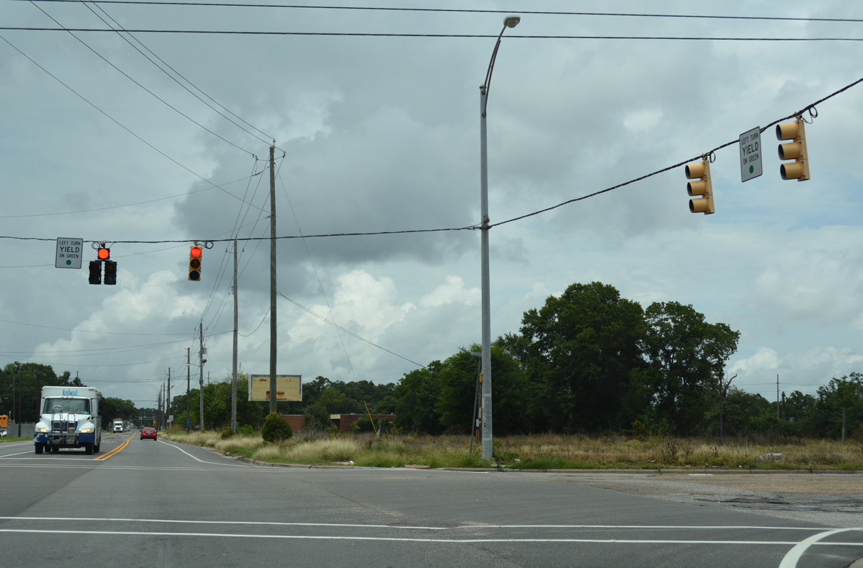
SR 213 ends at the five way intersection with U.S. 43 (Saraland Boulevard), CR 41 (Celeste Road) north and Ferry Avenue east.
03/20/09
SR 213 runs 2.50 miles southwest to SR 158 (Industrial Parkway) at the exchange (Exit 13) with I-65. CR 41 travels 1.1 miles west to I-65 at Exit 15 before turning northerly en route to Citronelle.
03/20/09
U.S. 43 (Saraland Boulevard) spans Bayou Sara ahead of the signalized intersection with Bayou Sara Avenue. Bayou Sara Avenue leads southeast along the bayou to waterside residences.
03/20/09
U.S. 43 shifts eastward into the city of Satsuma ahead of the Burlington Northern Santa Fe Railroad (BNSF) underpass.
03/20/09

Oak Avenue provides the second connection between U.S. 43 and parallel Old Highway 43 east of the Norfolk Southern Railroad line. Traffic lights along the four lane parkway are linked with railroad crossing signals.
03/20/09
Baker Road stems west from Old Highway 43 at Satsuma High School to the Satsuma city limits across Interstate 65.
03/20/09
Northbound reassurance shield for U.S. 43 posted after the signal with Bayou Avenue in Satsuma.
03/20/09
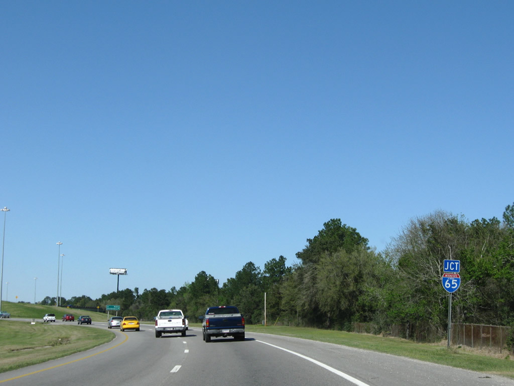
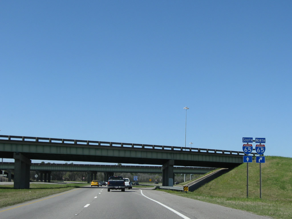
U.S. 43 vacates Satsuma at the directional cloverleaf interchange with Interstate 65.
03/20/09
A flyover (Exit 19) links I-65 north with U.S. 43 north ahead of the entrance ramp for Montgomery.
03/20/09
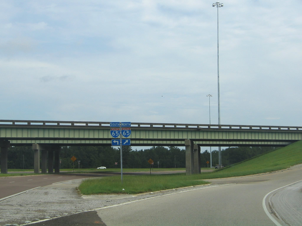
Traffic from both directions of U.S. 43 utilize a single entrance ramp for Interstate 65 south to Prichard and Mobile.
07/15/05
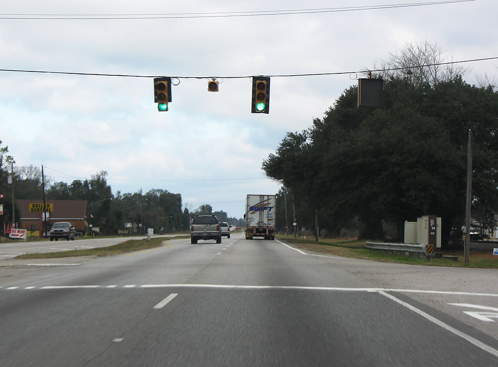
Entering the town of Creola, U.S. 43 intersects Dead Lake Road. Dead Lake Road meanders east to Interstate 65 at Exit 22 and Mark Reynolds/North Mobile County Airport (15A).
01/01/10
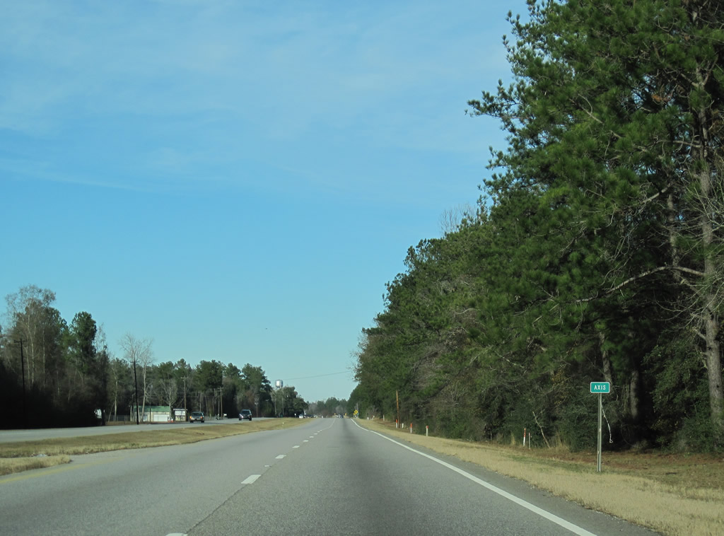
U.S. 43 leaves Creola and passes north through unincorporated Axis next.
01/02/11
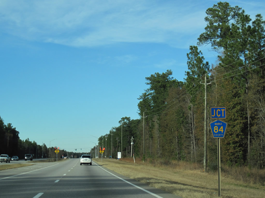
U.S. 43 meets the east end of CR 84 (Salco Road) at Salco.
01/02/11
Servicing the entrance to the Nouryon chemical plant to the east, a traffic light was added at the intersection of U.S. 43 and CR 84 (Salco Road) in 2010.
01/02/11
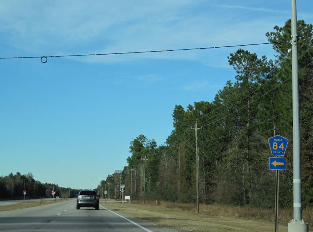
CR 84 (Salco Road) navigates along a rural route west 6.2 miles to CR 41 (Celeste Road) south of Turnerville.
01/02/11
BNSF and Norfolk Southern Railroad lines parallel U.S. 43 north from Salco. Several industrial plants line the east side of the highway.
01/01/10
Reassurance shield posted northbound near the James M. Barry Electric Generating Plant on U.S. 43 at Bucks.
01/02/11
Crossing Cedar Creek, U.S. 43 north enters the town of Mt. Vernon. The four lane span over the waterway dates to 1952.
01/02/11
Old US Highway 43 branches east from U.S. 43 toward the Mount Vernon town center while U.S. 43 advances north to intersect CR 96 (Coy Smith Highway) west at Military Road.
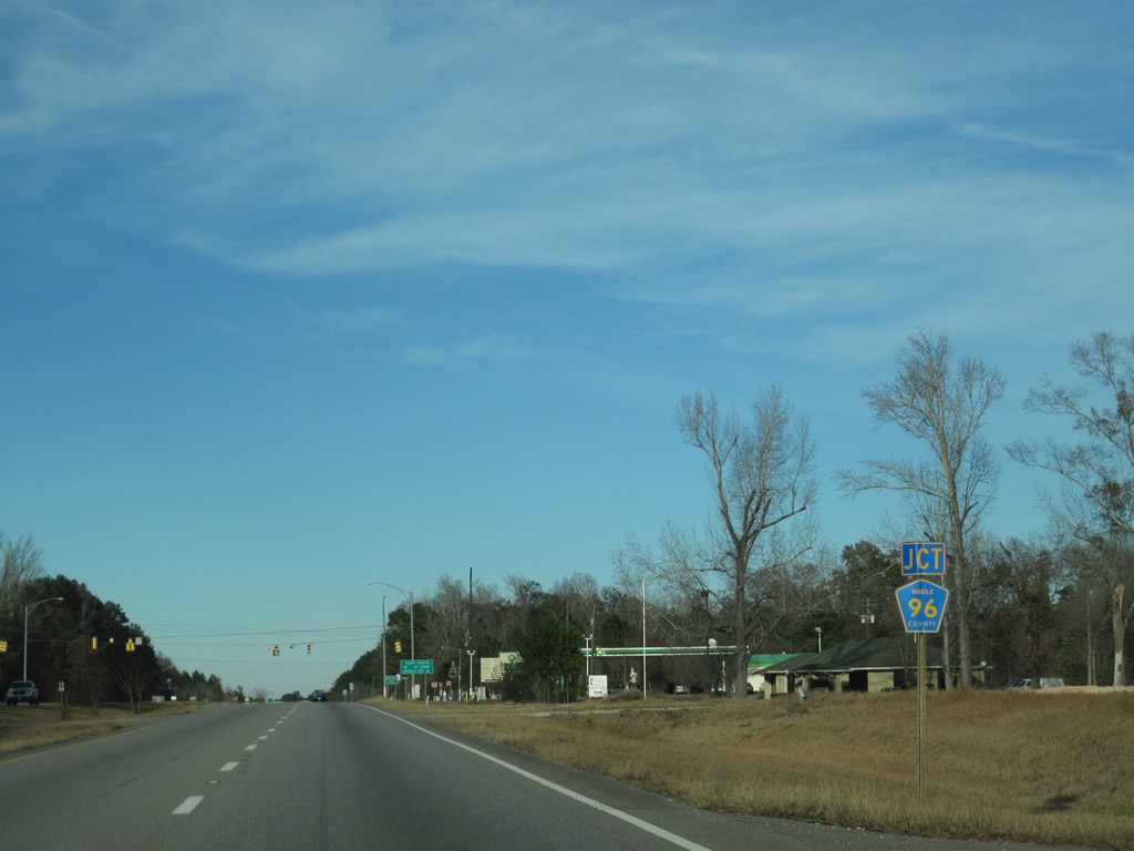
01/02/11
CR 96 arcs westward from Mt. Vernon to Boykin Wildlife Management Area and Citronelle. Overall the route links U.S. 43 with Mississippi Highway 594 to Leakesville.
01/02/11
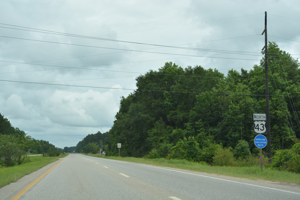
Continuing north from CR 96, U.S. 43 remains somewhat rural with most residential areas of Mt. Vernon located off of Old U.S. Highway 43.
06/06/17
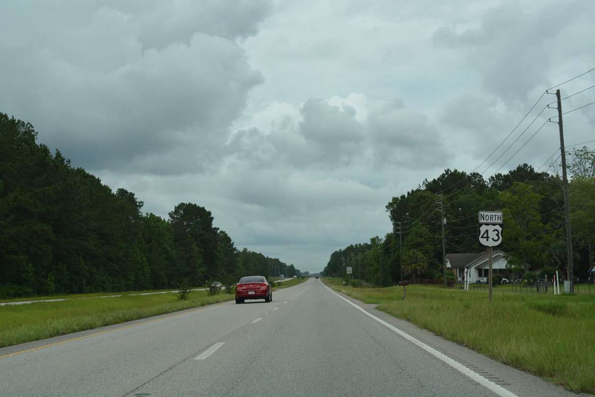
Old Highway 43 returns to U.S. 43 just ahead of the north Mt. Vernon town line.
06/05/17
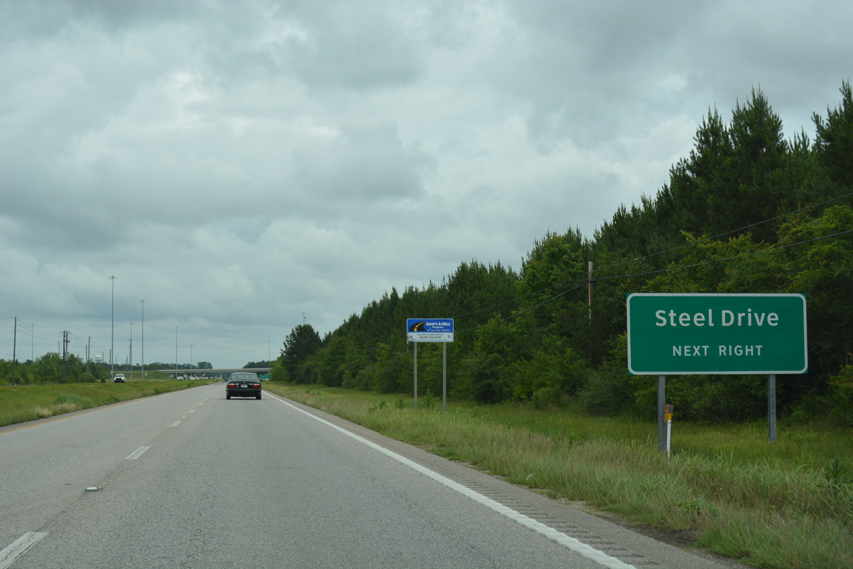
Heading north toward the Washington County line, U.S. 43 next meets a trumpet interchange with Steel Drive. Steel Drive spurs east to the AM/NS Calvert plant and AM/NS Calvert Industrial Park.
06/05/17
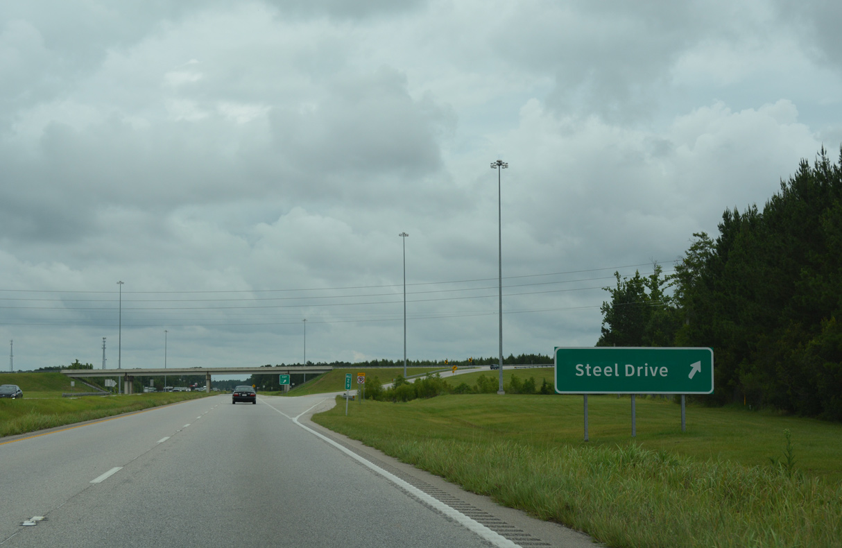
Formerly the ThyssenKrupp carbon steel processing facility, construction on the AM/NS Calvert plant along the Tombigbee River commenced in November 2007. The exchange with Steel Drive replaced a signalized intersection with Dow Badische Road to accommodate large volume of truck and employee traffic to the plant.
06/05/17
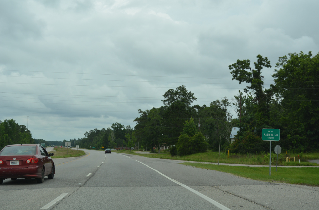
U.S. 43 north crosses the Washington County line at the unincorporated community of Calvert.
06/05/17
Photo Credits:
- ABRoads: 03/20/09, 01/02/11
- Alex Nitzman: 10/25/03, 07/15/05, 05/15/16, 06/05/17, 06/06/17
- Brent Ivy: 01/01/10
Connect with:
Page Updated Tuesday August 09, 2022.