
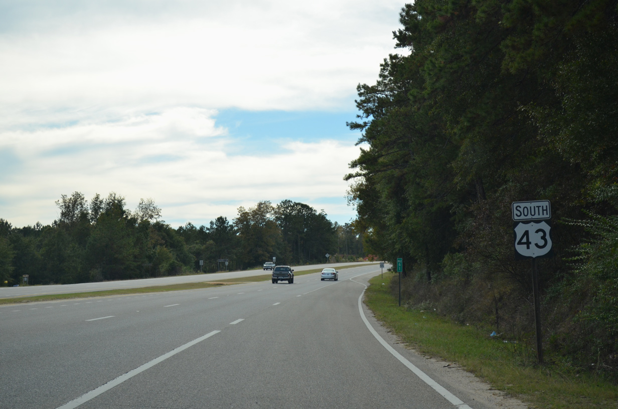
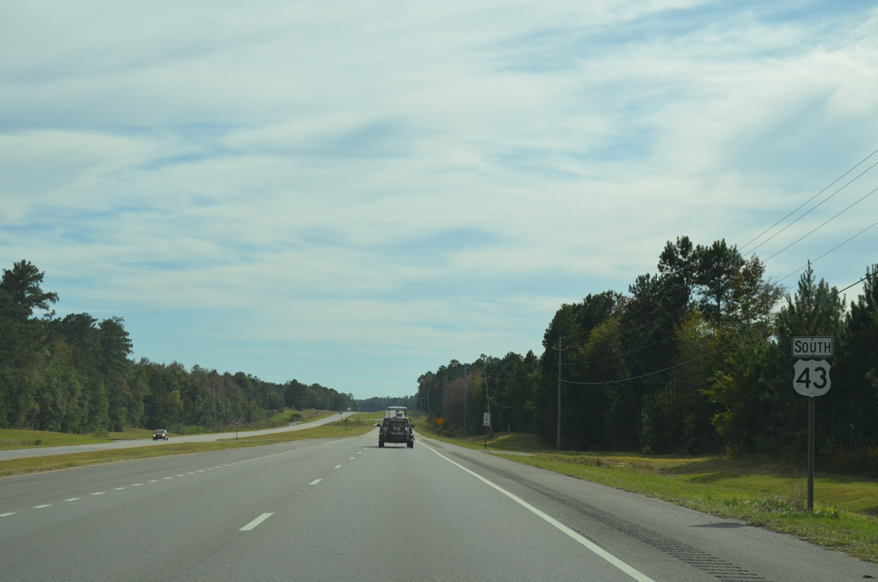
U.S. 43 South - Grove Hill to McIntosh

 South
South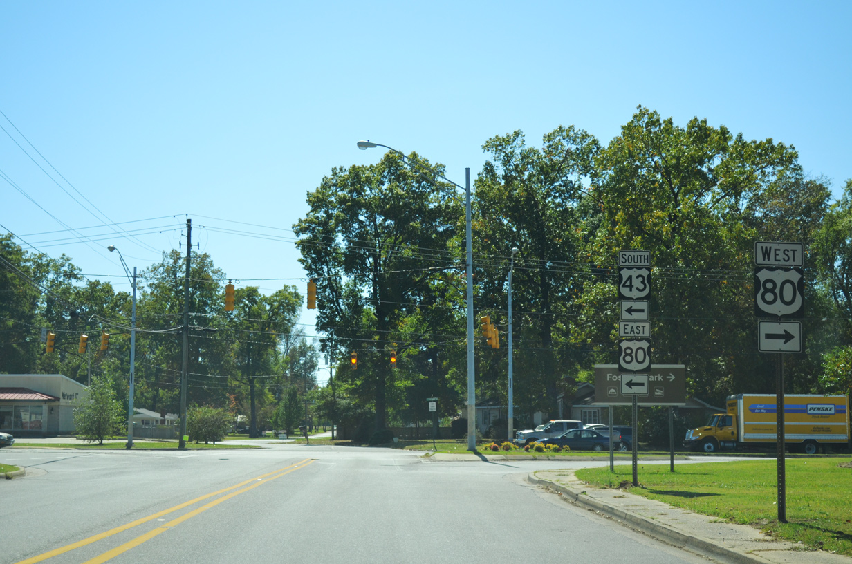
U.S. 43 heads south from Downtown Demopolis along Cedar Avenue to U.S. 80 by Whitfield Regional Hospital. U.S. 43 turns east alongside U.S. 80 for 0.95 miles to Pettus Street.
10/21/12
10/21/12
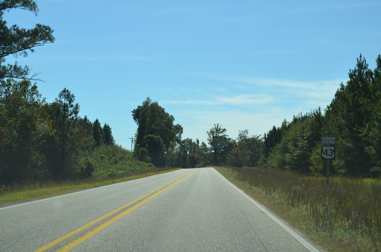
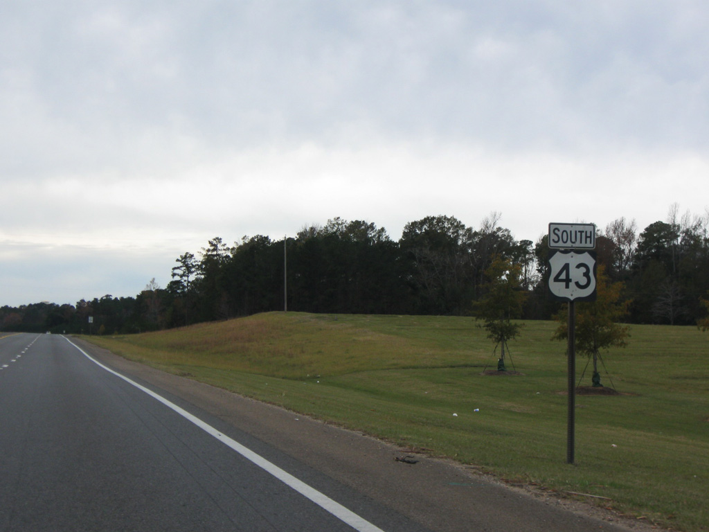
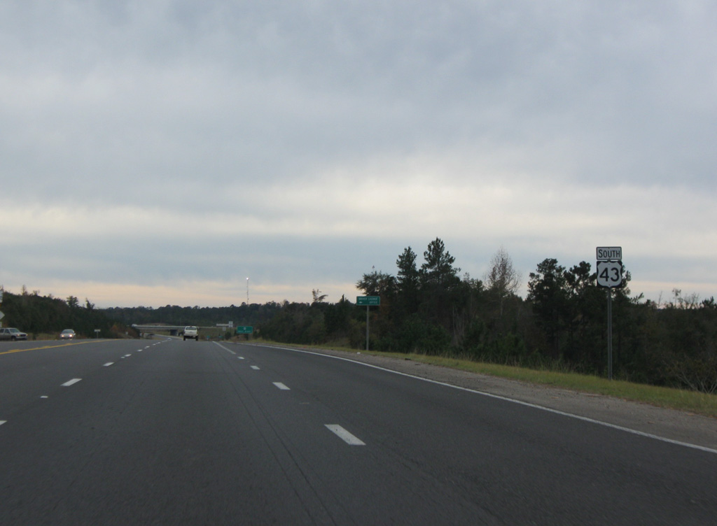
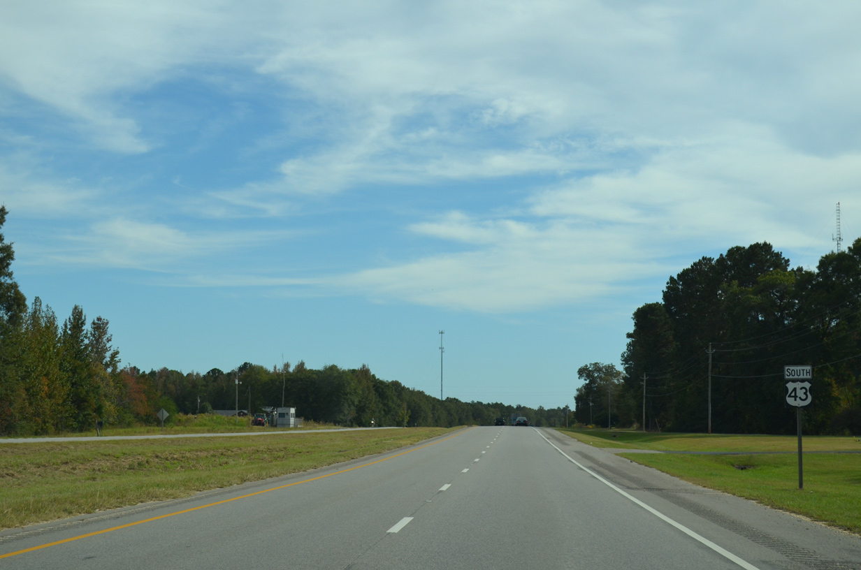
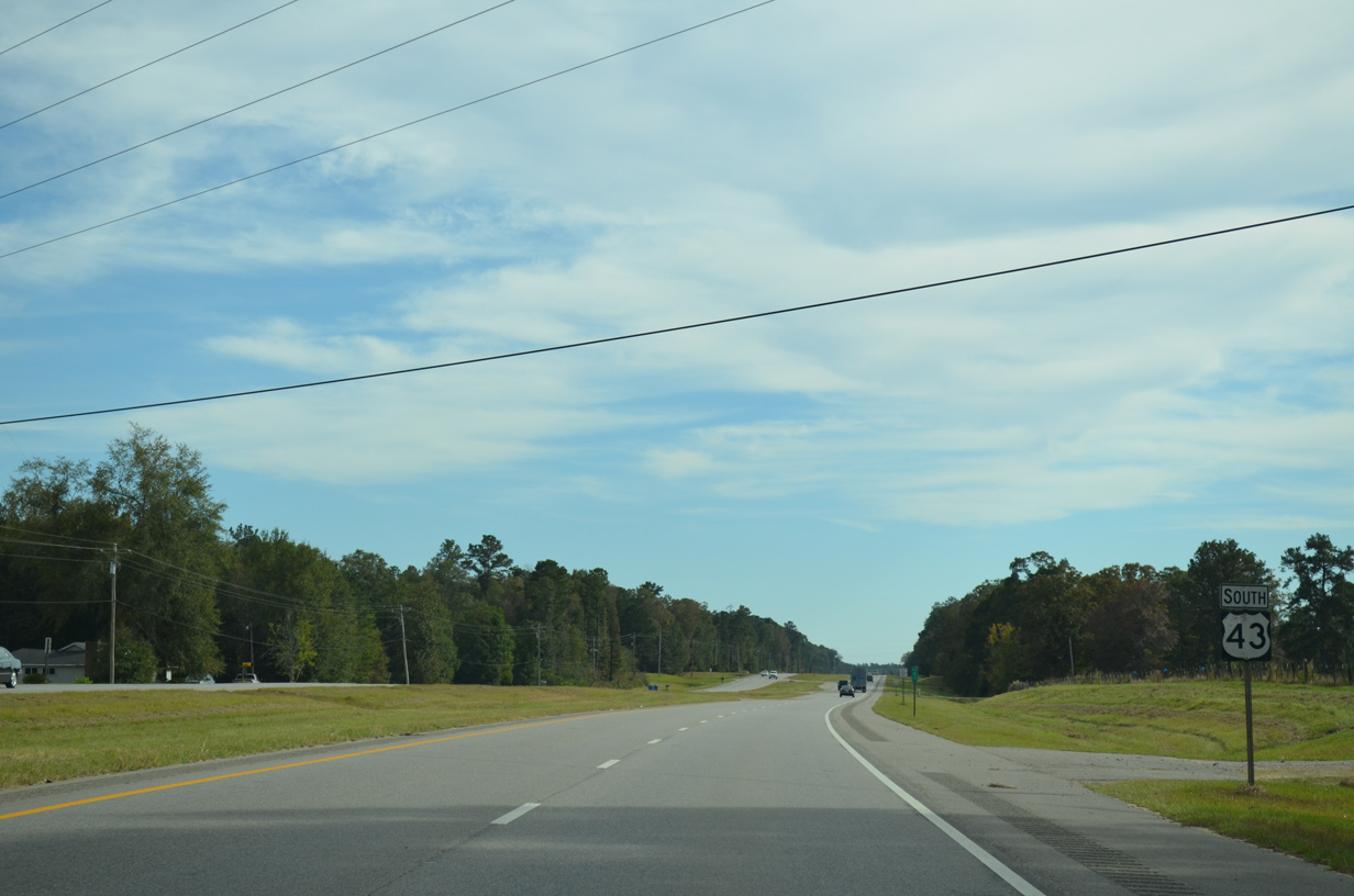
Confirming marker south of Marengo County Route 30 near Wayne.
10/21/12
10/21/12
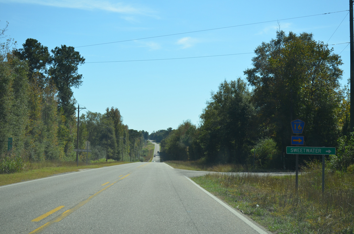
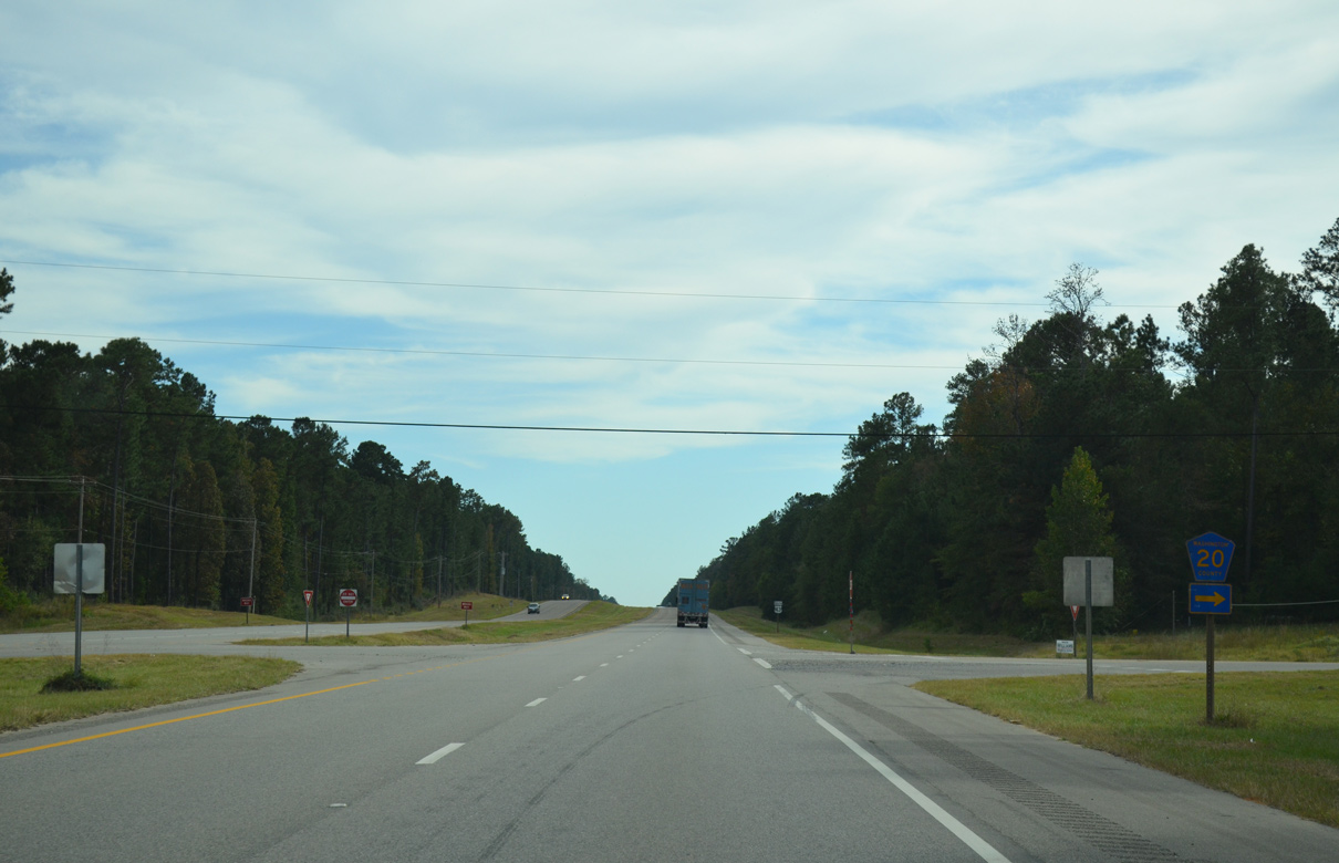
Marengo County Route 16 connects U.S. 43 with CR 7 in the town of Sweetwater, 4.9 miles to the west.
10/21/12
10/21/12
SR 295 (Jackson Street) branches south into Grove Hill as U.S. 43 shifts west onto a four lane bypass.
11/28/09
11/28/09
11/28/09
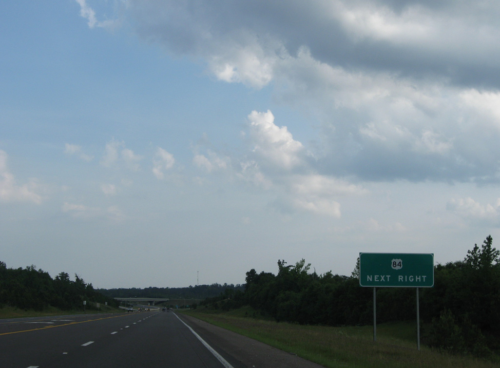
U.S. 43 continues south from Clark Street in Grove Hill to a diamond interchange with U.S. 84 (Grove Hill Avenue).
05/09/09
05/09/09
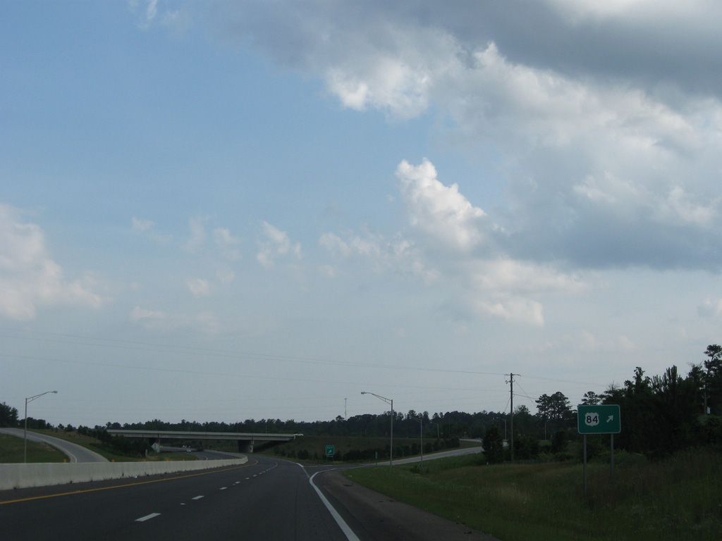
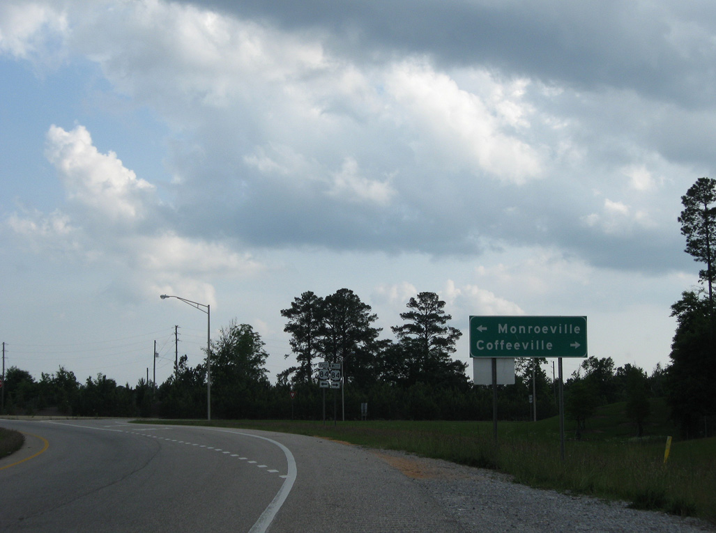
U.S. 84 travels across Clarke County west to Coffeeville and east into Monroe County ahead of Monroeville.
05/09/09
05/09/09
05/09/09
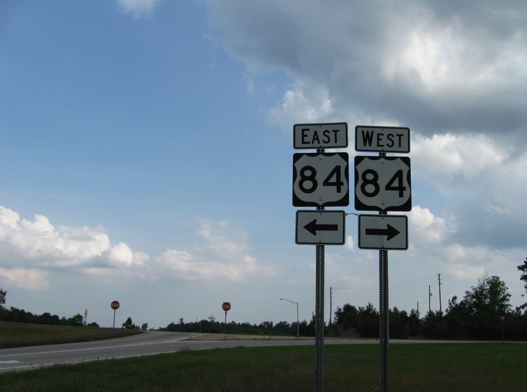
231.68 miles long in Alabama, U.S. 84 travels west to Waynesboro, Mississippi and east to Opp, Enterprise and Dothan.
05/09/09
05/09/09
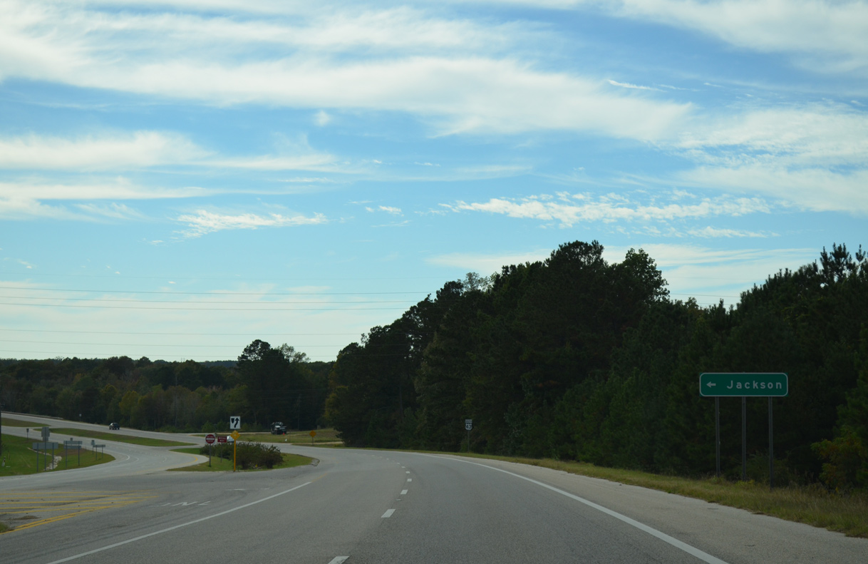
A grade separated intersection connects U.S. 43 with SR 69 (Coffeeville Road) in the city of Jackson ahead of this confirming marker.
10/21/12
10/21/12
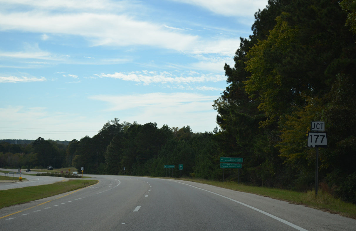
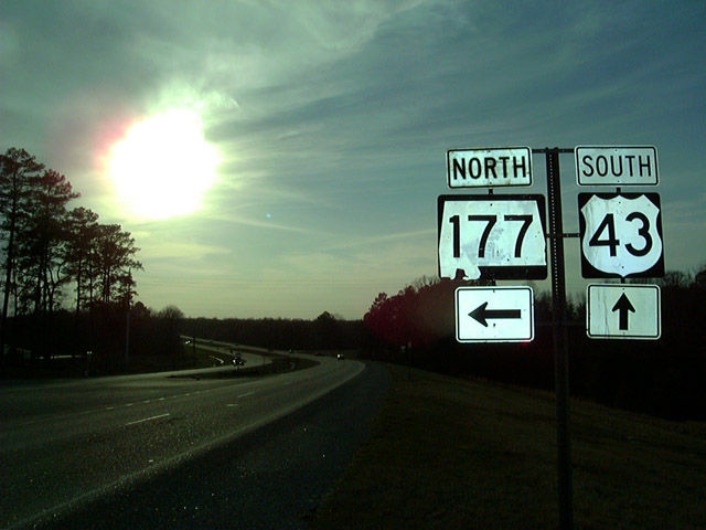
SR 177 concludes a 5.16 mile long loop through Jackson at U.S. 43 north along Commerce Street.
10/21/12
10/21/12
State Route 177 represents the historic alignment of U.S. 43 to Downtown Jackson.
10/21/12
10/21/12
Removed shield assembly for SR 177 north on U.S. 43 south.
02/10/02
02/10/02
10/21/12
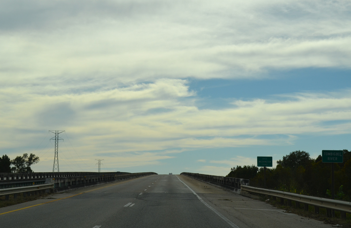
U.S. 43 curves southwest from SR 177 across the Tombigbee River into Washington County.
10/21/12
10/21/12
The bridges over the Tombigbee River along U.S. 43 were built in 1973.
10/21/12
10/21/12
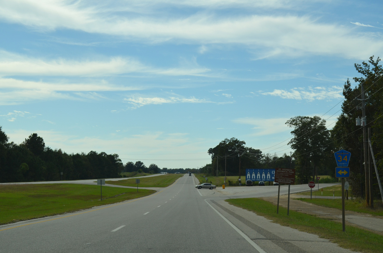
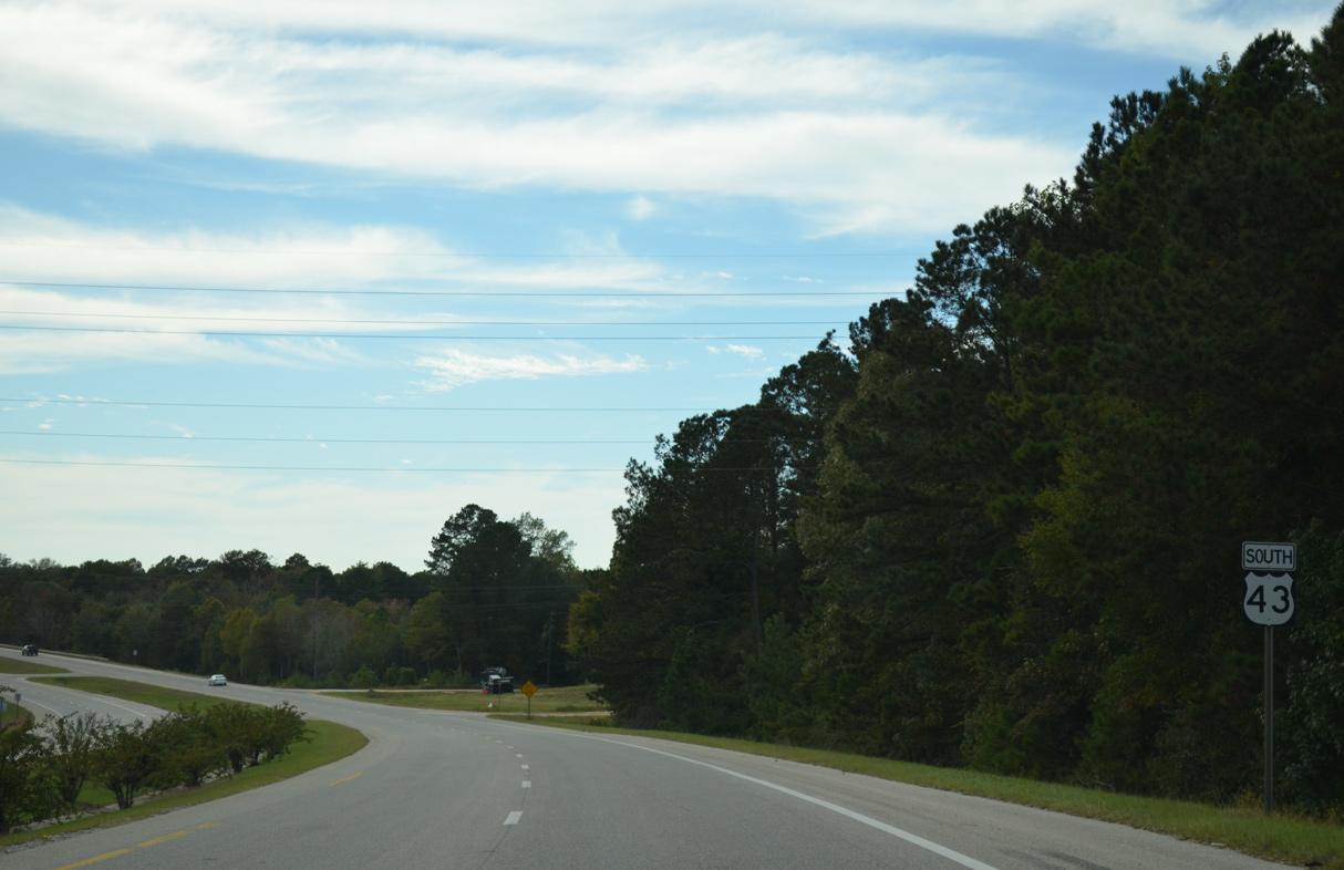
U.S. 43 meets County Route 43 at the unincorporated community of Leroy.
10/21/12
10/21/12
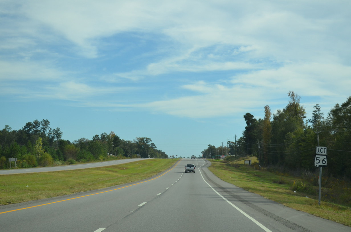
SR 56 stems 14.33 miles west from U.S. 43 at Wagarville to SR 17 in Chatom.
10/21/12
10/21/12
Measuring 27.70 miles in length, SR 56 runs across Washington County to Mississippi Highway 42 at State Line.
10/21/12
10/21/12
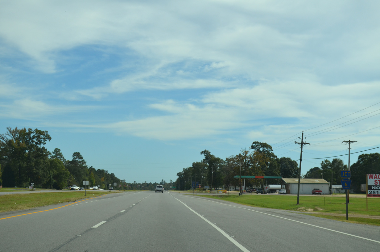
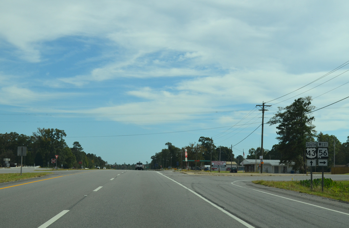
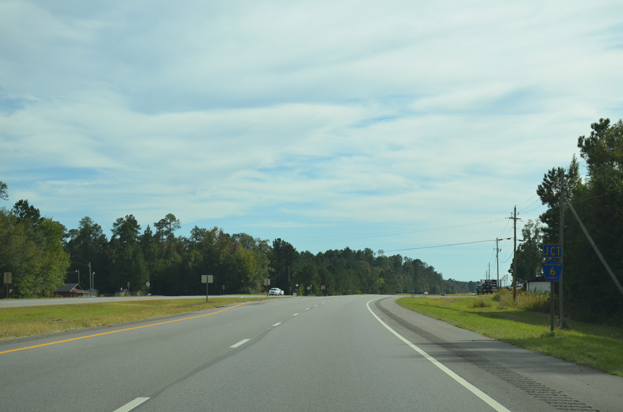
The northern section of CR 6 intersects U.S. 43 just south of SR 56 in Wagarville.
10/21/12
10/21/12
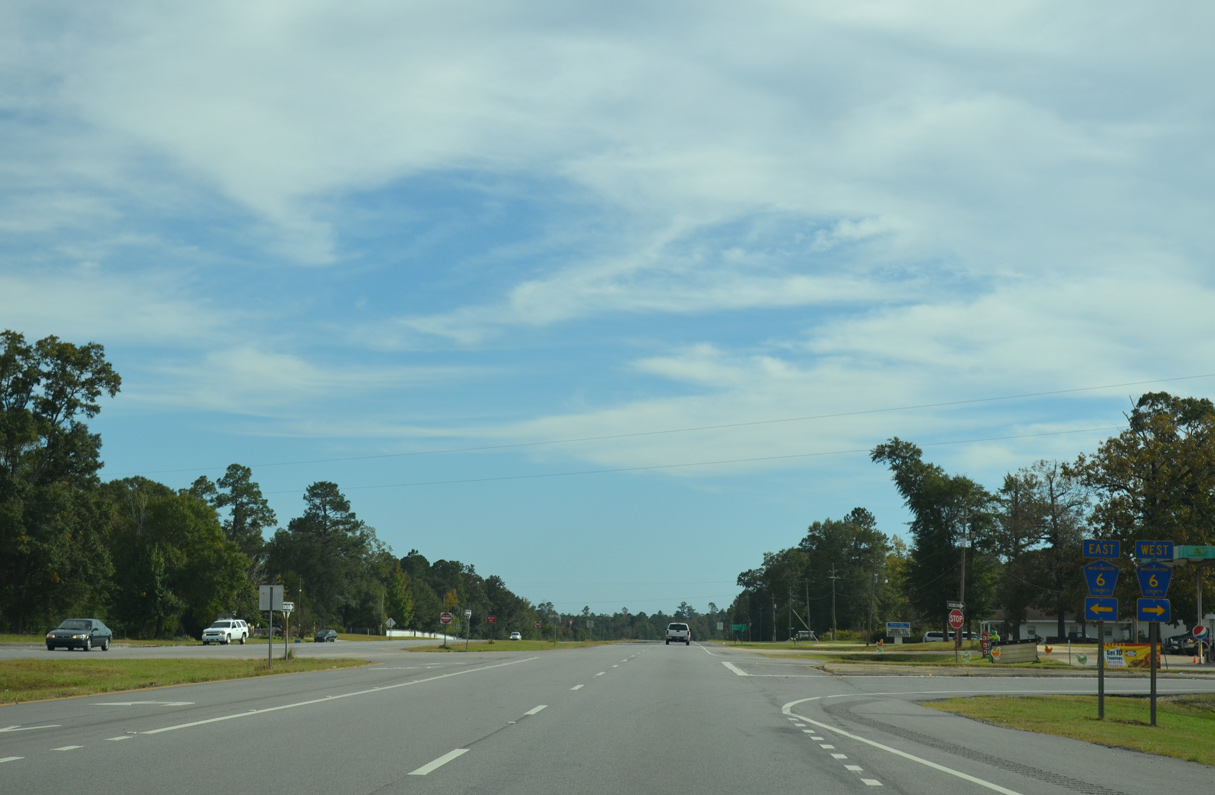
CR 6 links U.S. 43 with SR 56 to the west and spurs southeast from Wagarville to Wagar Road.
10/21/12
10/21/12
10/21/12
The southern leg of CR 6 ties into U.S. 43 west from Cortelyou. CR 6 continuess west from U.S. 43 along Tarver Road.
10/21/12
10/21/12
10/21/12
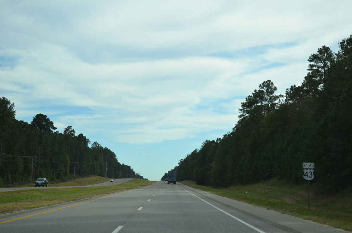
U.S. 43 south at Sunflower.
10/21/12
10/21/12
10/21/12
10/21/12
10/21/12
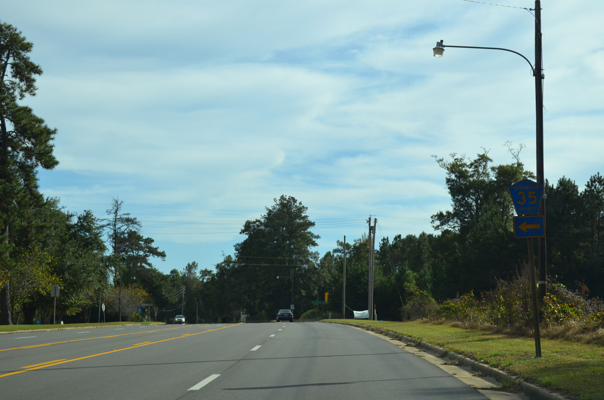
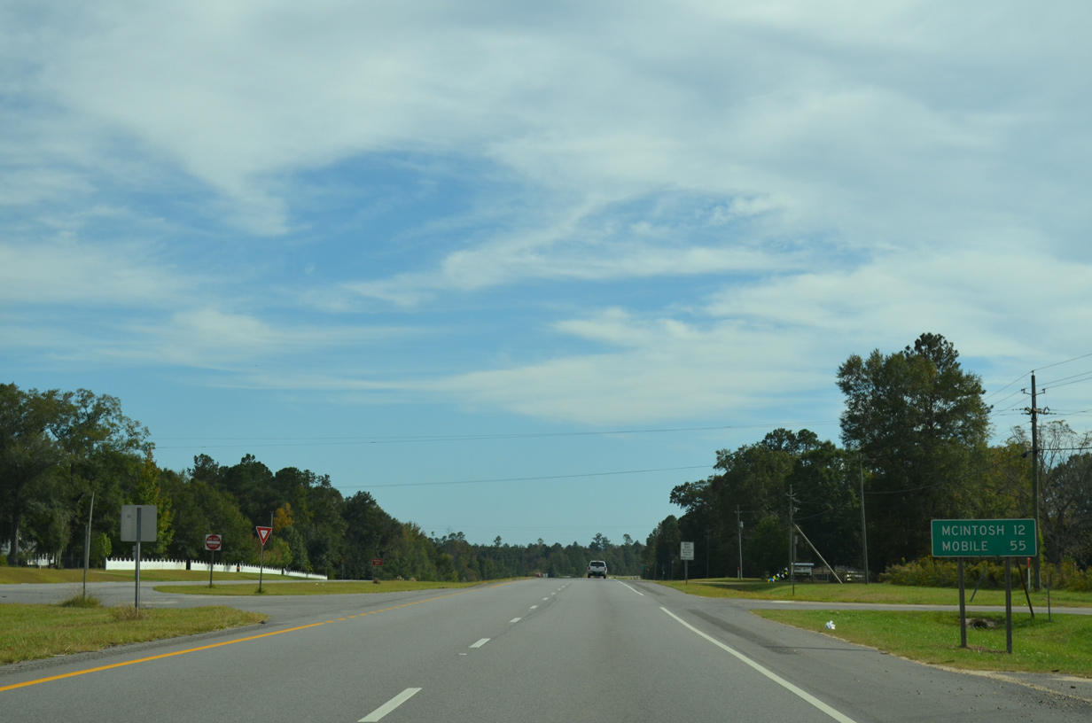
CR 35 (River Road) heads east from U.S. 43 in the town of McIntosh toward McIntosh Station and the McIntosh Bluff Boat Ramp along the Tombigbee River.
10/21/12
10/21/12
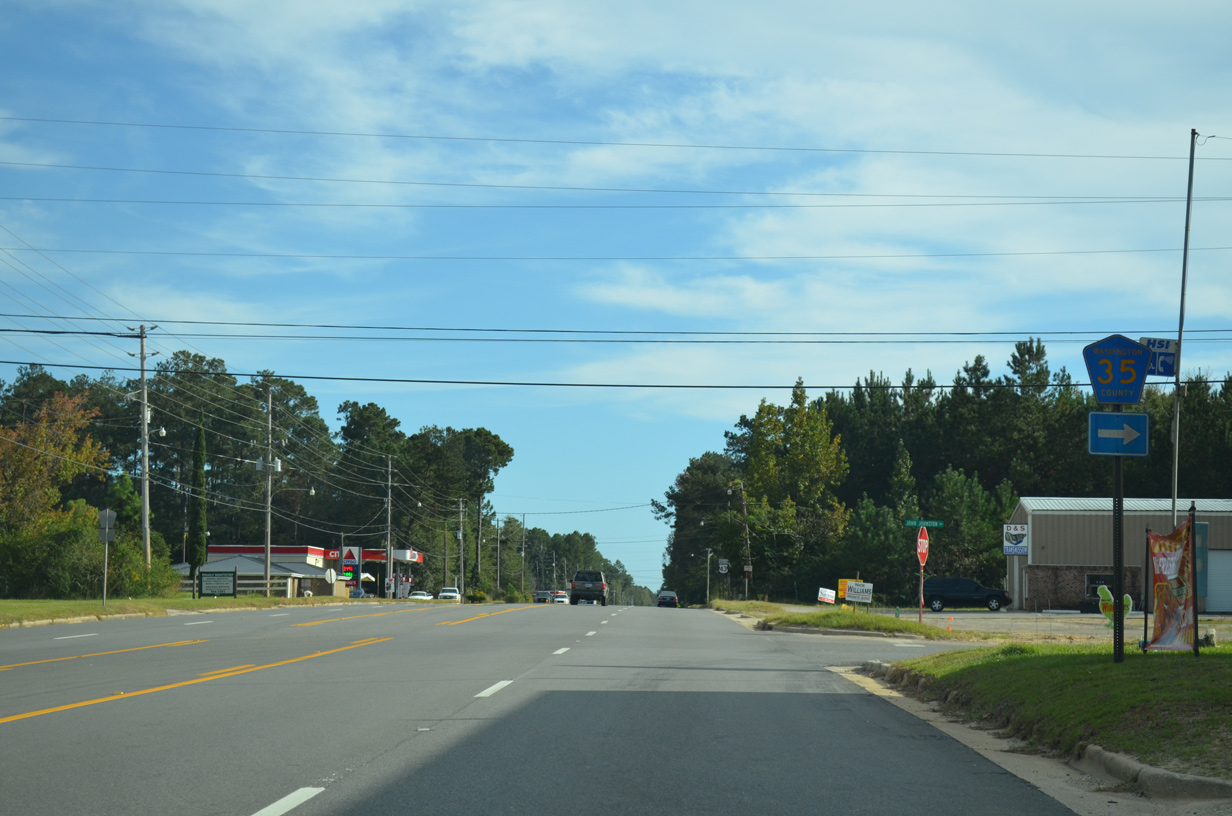
CR 35 travels southwest from McIntosh to Sims Chapel and into Mobile County in 16 miles ahead of Citronelle.
10/21/12
10/21/12
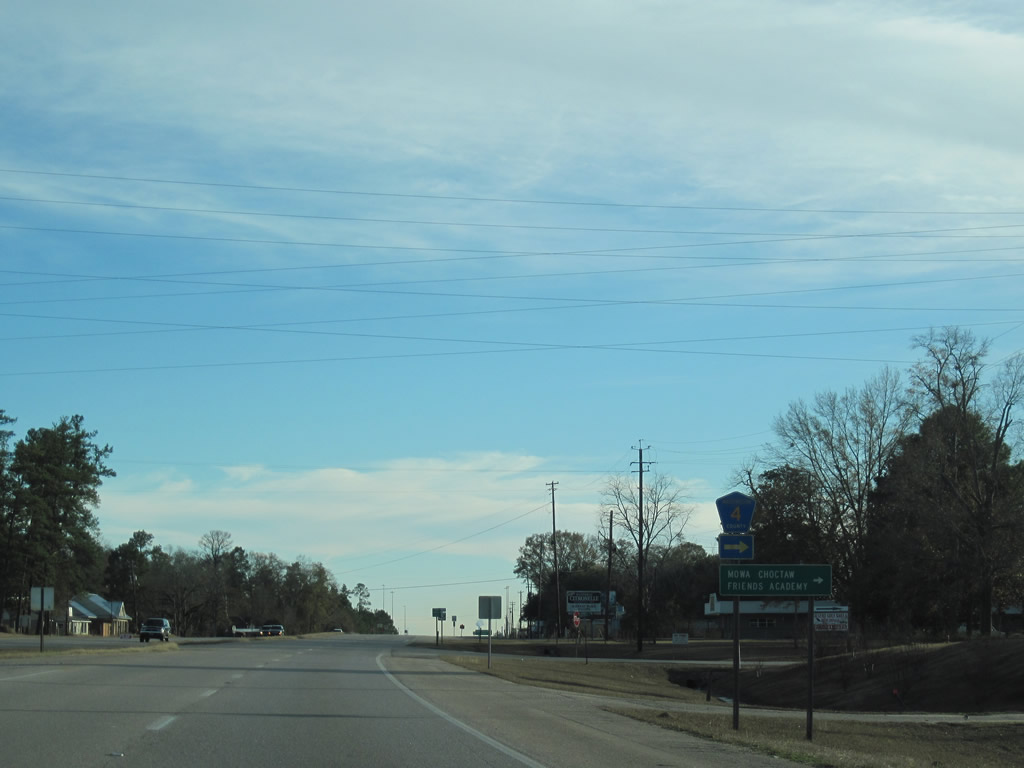
Initially following an old alignment of U.S. 43 north, Washington County Route 4 (Fairford Road) runs west to Fairford and CR 35 at Sims Chapel.
01/02/11
01/02/11

Photo Credits:
- ABRoads: 05/09/09, 01/02/11, 10/21/12
- Brent Ivy: 11/28/09
- Alex Nitzman: 02/10/02
Connect with:
Page Updated Wednesday August 10, 2022.