
U.S. 50 East - Cañon City to Penrose
 East
East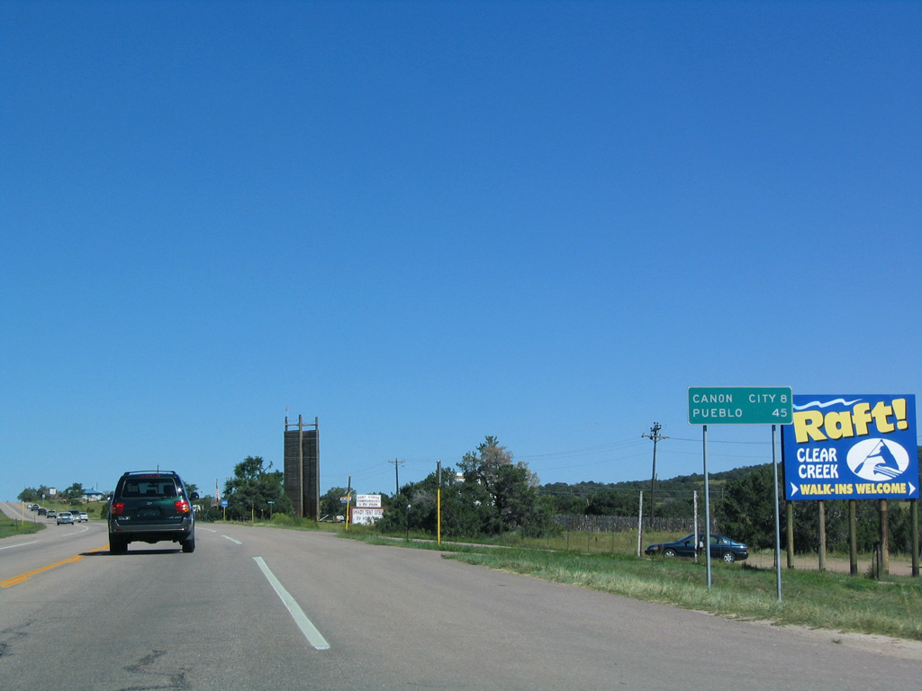
Heading east from County Road 3A and Eightmile Park on U.S. 50 east. Removed after 2009 from a three lane stretch of U.S. 50, this sign listed the distance to Cañon City and Pueblo.
08/29/04
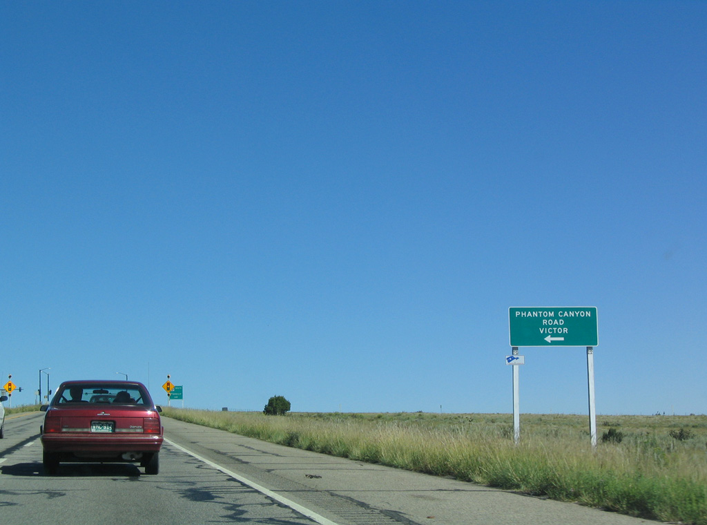
East of Cañon City, U.S. 50 expands into a four lane, divided highway and bee lines to SH 67 south and Phantom Canyon Road (CR 67) north. SH 67 originates 15 miles to the south at SH 96 in Custer County.
08/29/04
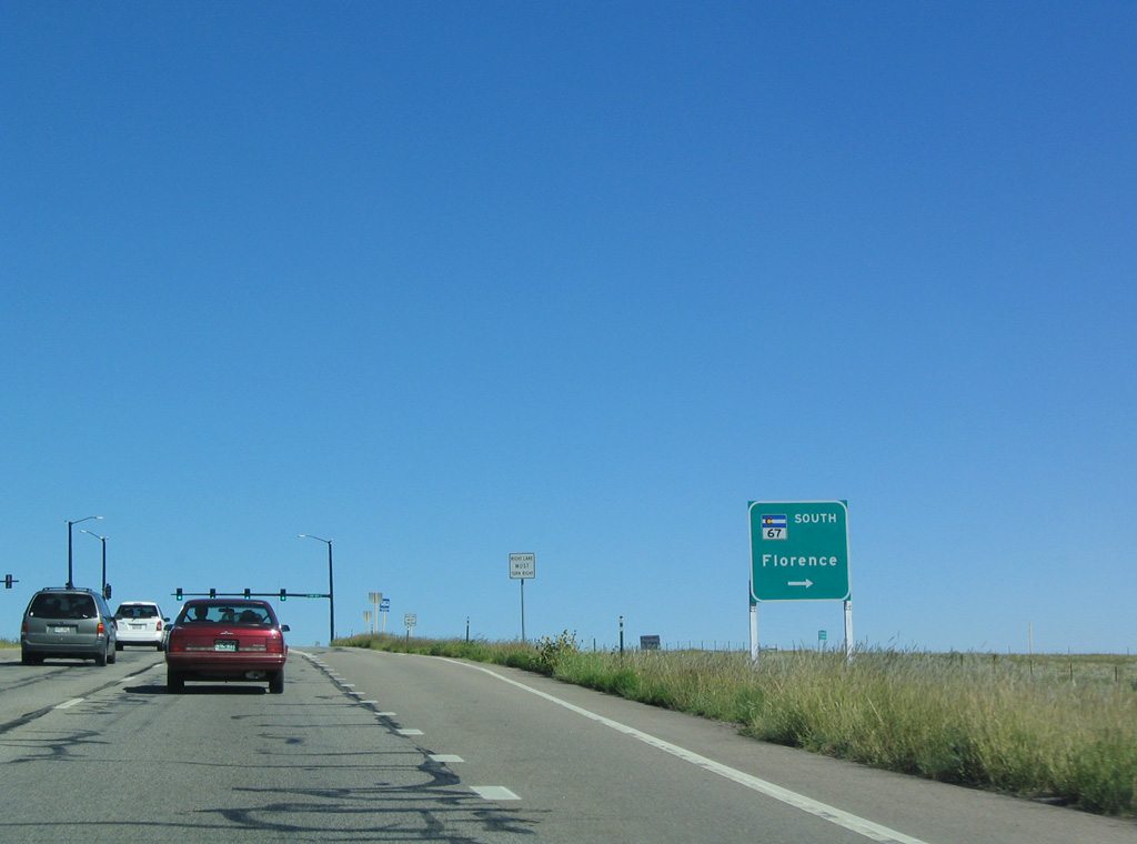
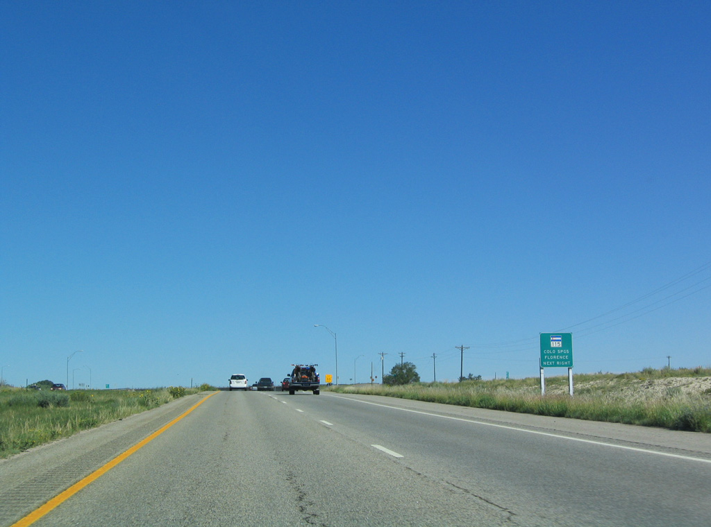
SH 67 constitutes a segmented route connected by county maintained sections. This section of SH 67 (Route 067B) heads south to SH 115 in Florence. Phantom Canyon Road north makes the connection with the succeeding leg of SH 67 (Route 067C), which begins at Victor and continues north to U.S. 24 at Divide.
08/29/04
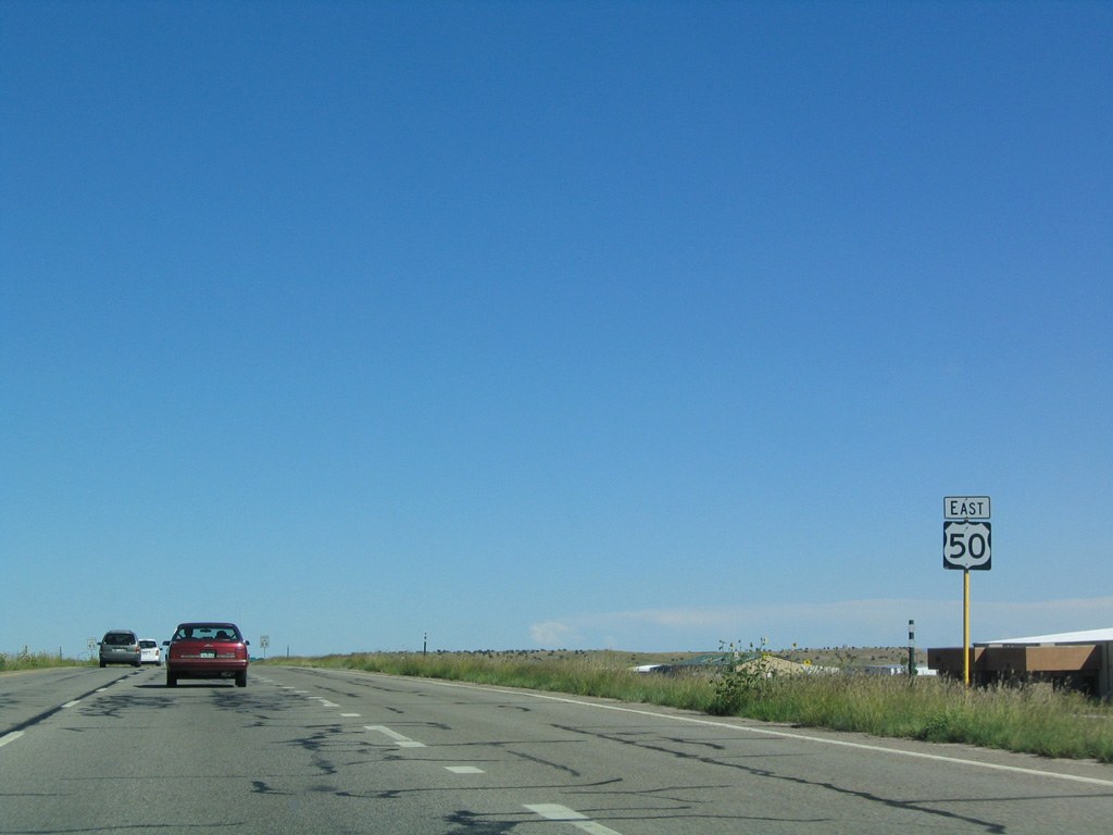
Reassurance marker posted east of SH 67 south and Phantom County Road (CR 67) north. U.S. 50 passes just north of Fremont County Airport (1V6).
08/29/04
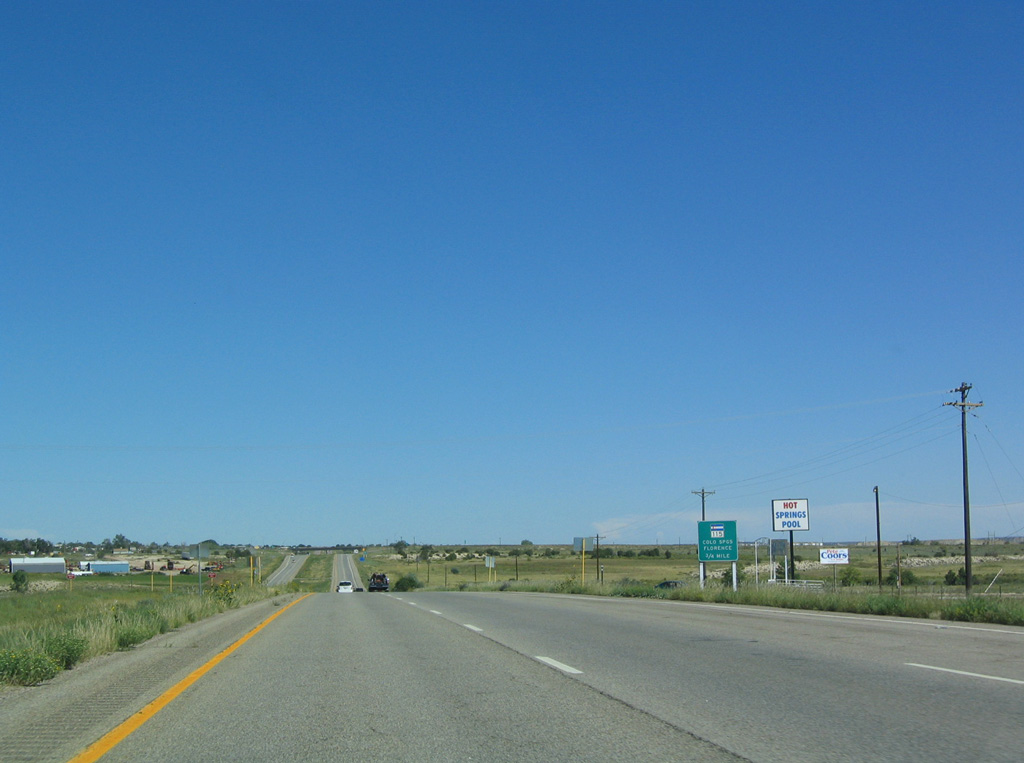
Advancing 3.8 miles east, U.S. 50 crosses Brush Hollow Creek and next meets SH 115 at a diamond interchange.
08/29/04
SH 115 travels northeast past Fort Carson to Colorado Springs, where it ends at Interstate 25. South from U.S. 50, SH 115 leads back into Florence, then west through Lincoln Park to U.S. 50 in Cañon City. The roadway west from SH 120 is the original alignment of U.S. 50.
08/29/04
Photo Credits:
- Andy Field: 08/29/04
Connect with:
Page Updated Friday May 05, 2017.